Tuesday, April 01, 2008
Saint Francisville, LA to Opelousas, LA
59 miles (1541 total miles)
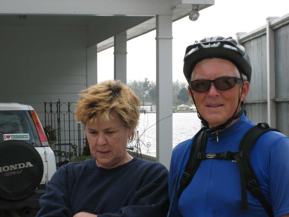
A very big photo day - we took 3-4 times more pictures today than normal (168) and managed to whittle them down to 50. A lot of them were taken from the bike (or we would never have gotten to our motel tonight!) so the quality may not be as good, but we hope you like them enough to get through all 50. The travelers' angels continued being good to us - our tent didn't get rained on during the night (in fact, we saw a mass of stars before we went to bed) so everything was dry when we packed up. As we were heading out, we ran into the nice couple, Suzanne and Norman, from Quebec whom we had met last night, so we took the opportunity to take their picture. We had only about 5 miles to go to get to the ferry in St. Francisville where we would cross the Mississippi River, and we hoped to find some breakfast there. As luck would have it, we saw a policeman by the road and he directed us to a wonderful place we never would have found, as it was tucked away in a little row of cabins. The Birdman Cafe and Books was a quaint little cafe, with paintings and hand-carved birds by local artists on display, a local musician playing guitar (he also baked their organic whole-grain bread), and delicious food. We talked with a woman there who had seen us on the road near our campground the night before! Fully charged by the great food and coffee, we set out for the ferry, passing through the beautiful town of St. Francisville in the process (lots of pictures there). As we went through town, we were passed by our Quebec friends who seemed to be headed that way, too.
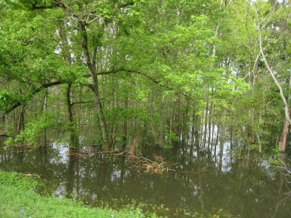
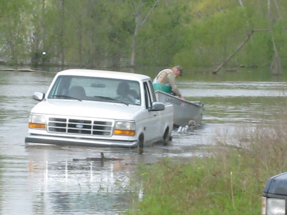
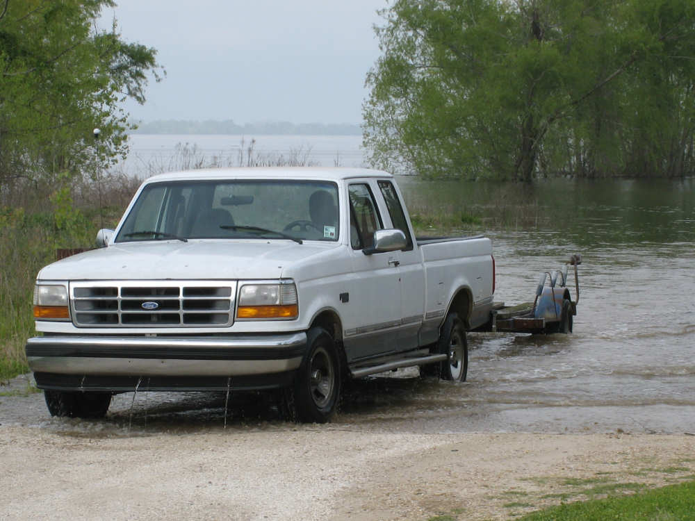
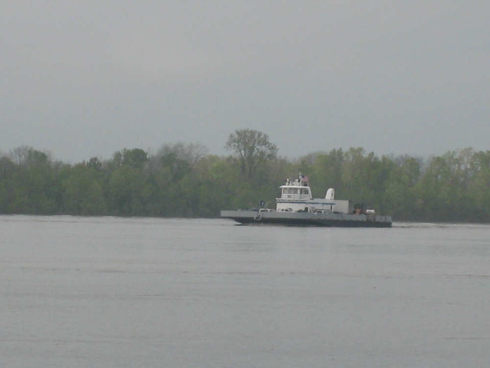
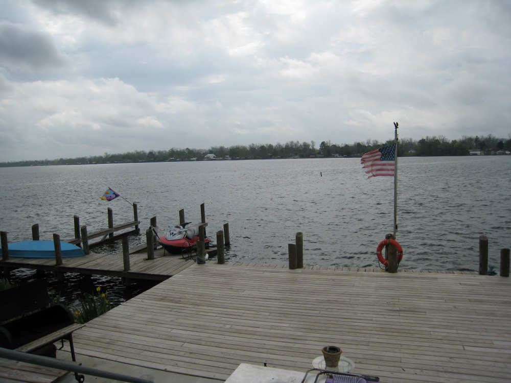
We got to the ferry just as it pulled out (our friends must have gotten on that one), but knowing it would only be about 20 minutes until it got back, we passed the time taking pictures. We had been told the river was very high, apparently due to snowmelt up in its more northern reaches like Kansas. It was quite odd to see trees along the banks with most of their trunks submerged. We also watched a truck backing down a boat ramp to launch a fishing boat, getting in way up to his bumper. He pulled out again when the boat was afloat, parked and then walked back on a little strip of land to get into the boat with the man who was already in it. When I commented to him that I didn't think he'd be able to drive out, he laughed and said he did it every day. The ferry finally arrived and unloaded. Besides about 6 regular passenger cars, its other cargo were 2 large trucks, a front-end loader, and an antique car! As we waited for the ferry, a large tug boat went by pushing a huge barge carrying coal. When we were on the ferry ourselves, another identical barge and tug went by us and I got some good pictures of that. We arrived at the other side, docking with pin-point accuracy, and got on the road into the town of New Roads.
The landscape was now very different - there were lots of swamps and bayous, very large fields - mostly pasture, but some crops, lots of wildflowers along the road, fewer trees and very few of the pines we've seen since Virginia. In fact, we saw very few logging trucks today and they weren't carrying pine. The parish (which is what all the counties in LA are called) we were in was called Pointe Coupee, because it was a little point of land cut off and given to the French a few hundred years ago. The first houses we saw were very modest, but they became grander as we went farther into town. There were houses all along an arm of the Mississippi River that they call False River which curves around in an oxbow. Our road ran along that curve for several miles. When we stopped for a rest, a woman working in her yard across the street from us ran across the fairly busy street to ask us where we were headed and after chatting for a bit, invited us to see her deck along the river. We got some great pictures of the river, her landing dock, the purple martins in her bird feeder, her irises, and a little lizard that was climbing up her wall.
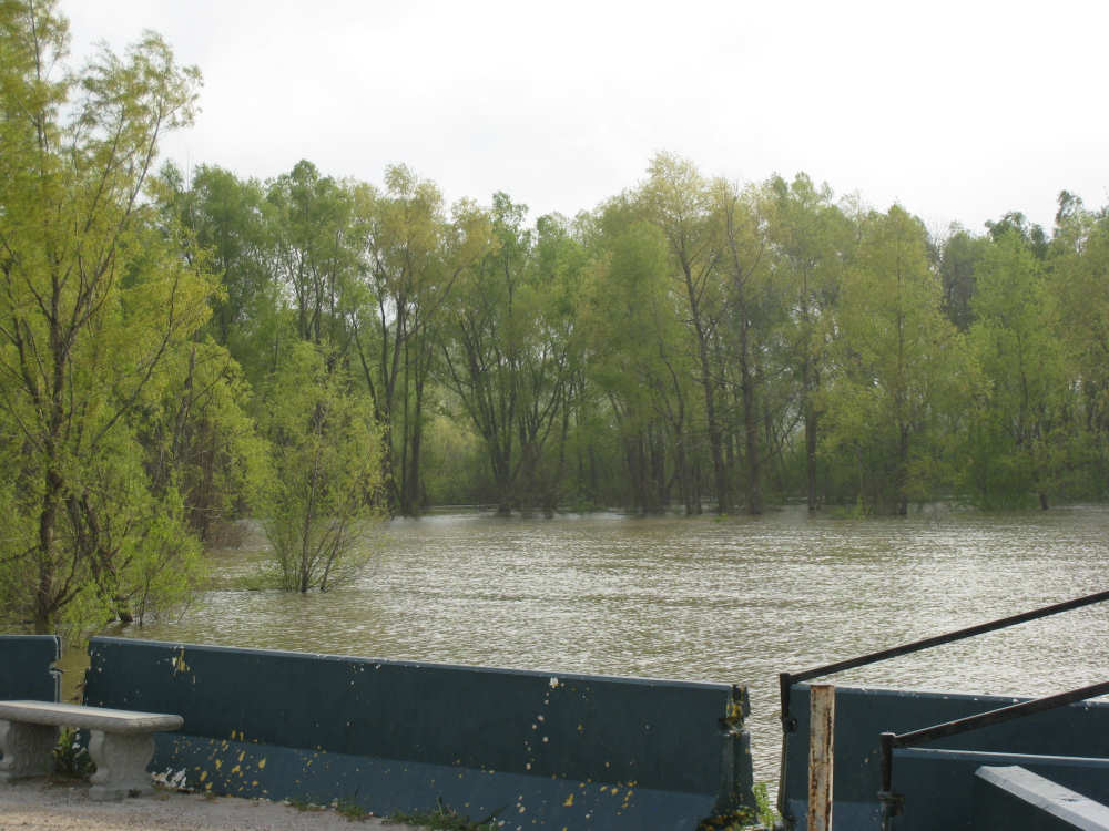
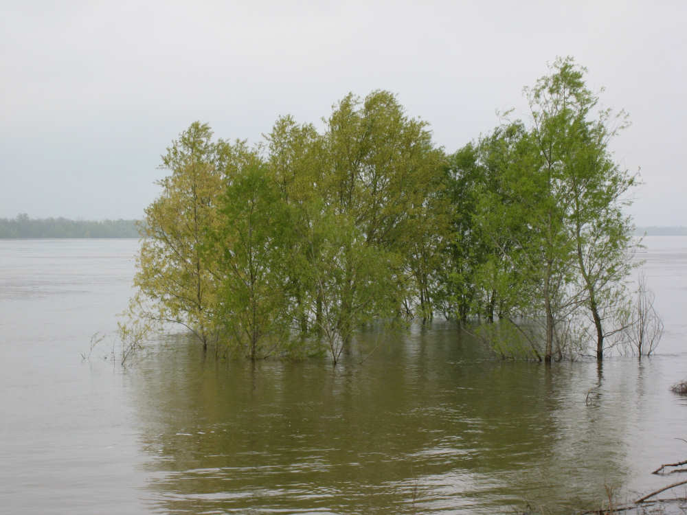
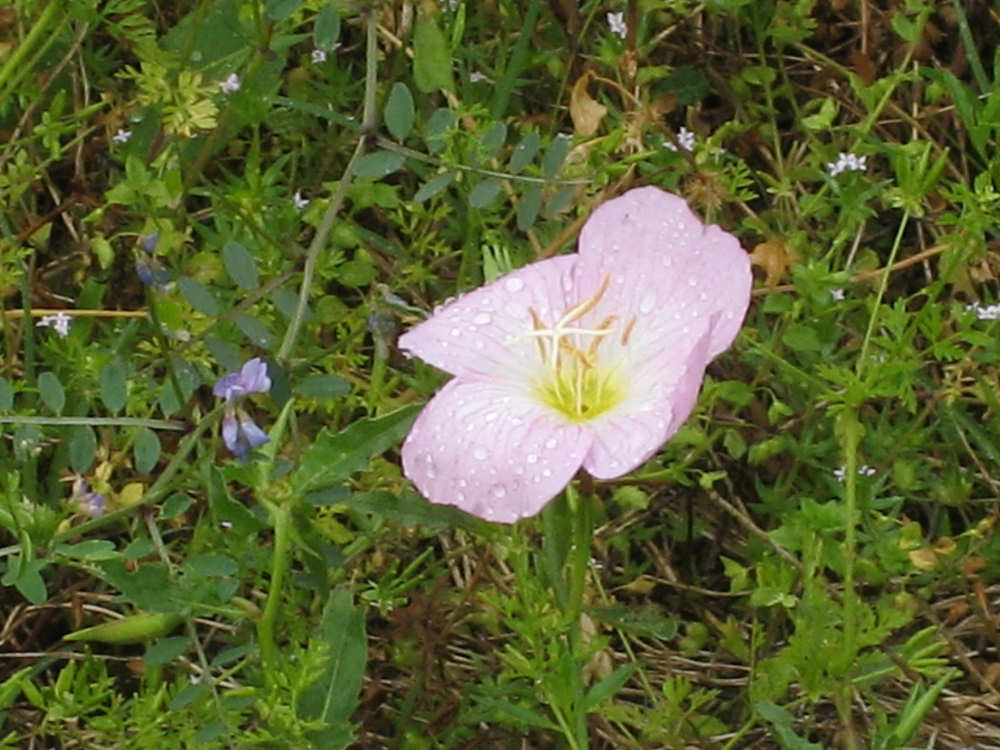
After New Roads, we got onto a larger road (Rt. 78) and hit some head winds that slowed us down a bit. The road had a wide shoulder but it was pretty rough. We went across the Atchafalaya River, a wide river as well, on a beautiful bridge. We turned onto Rt. 190 for the last 30 miles of our 59-mile day. The winds were better, and the shoulder was better most of the time, but the traffic was worse. 190 is apparently a major alternate route for the Interstate Route 10 which is still being reconstructed in places from Hurricane Katrina damage. One of the amazing things on this road, though were the bridges over what they call spillways - I guess that's where the water goes when the rivers overflow. Our first one was the Morganza Spillway, which went on for about 5 miles! It was 4 lanes divided by a barrier but very little shoulder, so there was no chance to stop for those 5 miles. Below us were trees and swampy areas. The second spillway was, thankfully, much shorter. We made better time on Rt. 190, but it wasn't as scenic. The storm clouds that had come and gone all day finally started to dump some of their rain, as well. Mostly, it was just a few sprinkles, but it rained hard for one short period. We were thankful for the clouds, and even the rain, though, because the sun was scorching when it came out and the humidity was very high. The rain cooled things off nicely. We did get some wildflower close-ups in between the rain spells. Oh, and we got 2 answers to yesterday's mystery flower question - one guess was purple vetch and the other was a variety of pentstemons. We have 2 other flowers to identify today, see below.
We ended up at our motel in Opelousas at 4:30, pretty tired after a long, exciting day. We had gone 59 miles, in 5 hours and 10 minutes of bike time, averaging almost 11.6 mph, nearly as fast as yesterday.

Our Quebec friends - Suzanne and Norman |
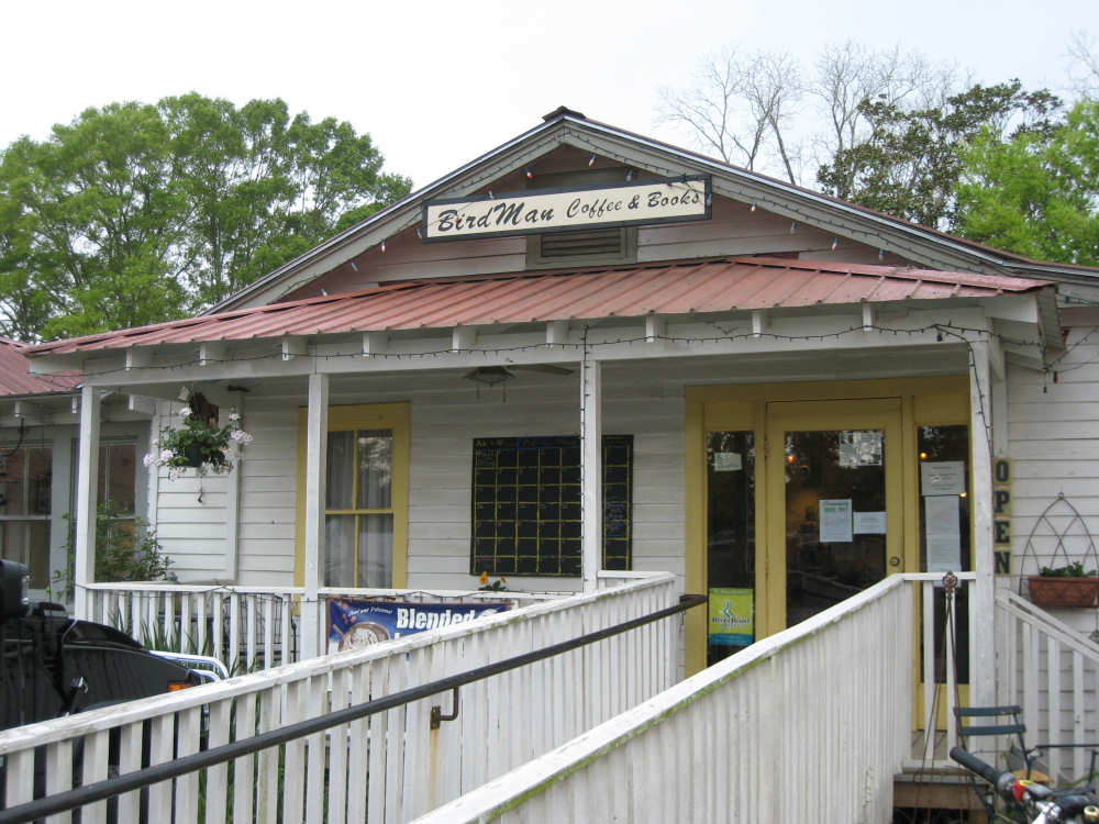
Our breakfast spot in St. Francisville |

Inside the cafe, with artists' paintings... |
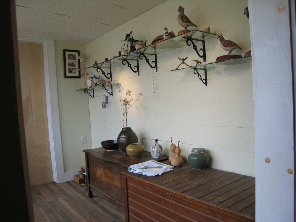
and bird carvings |
Some houses in St. Francisville |

|
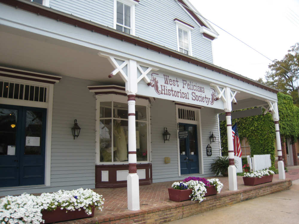
The Historical Society in town |
Bayou Sara - a large bayou just outside of town |
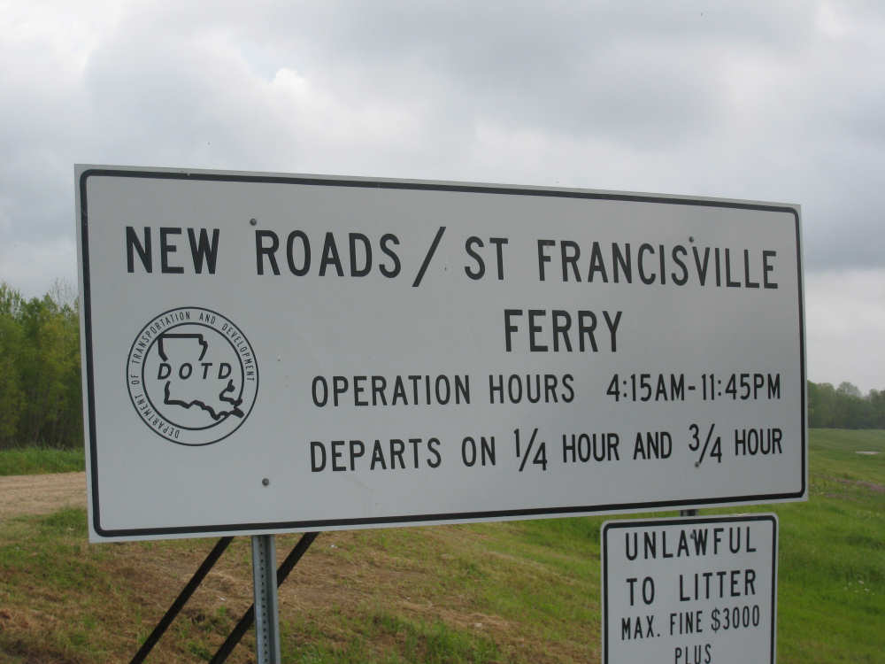
The sign for the ferry |
At the ferry site - notice the trees under water |
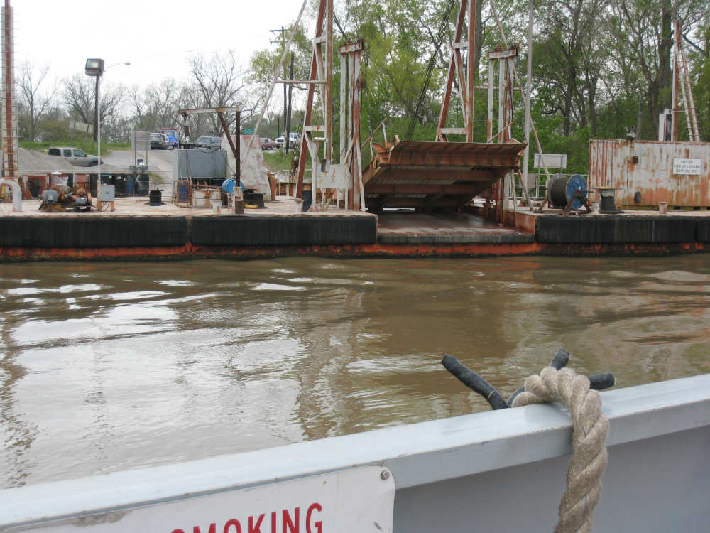
Other side of the ferry landing |
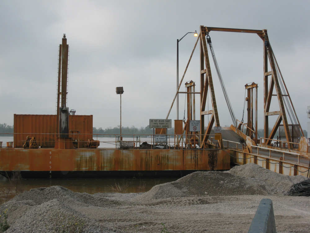
The ferry dock |
The boat launching by the ferry |
Back on dry land |

The driver now in the boat with the other fisherman |
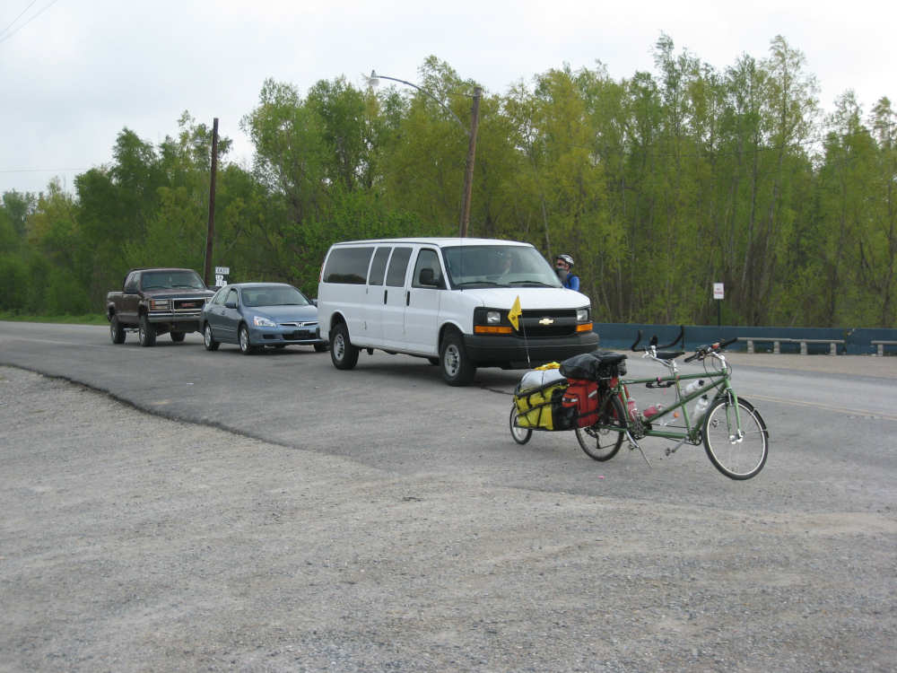
Our bike waiting with other cars for the ferry |
The ferry coming back to dock |
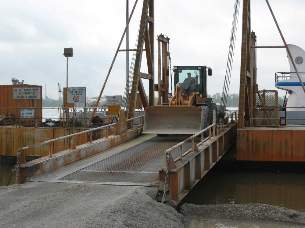
The front-end loader coming off the boat |
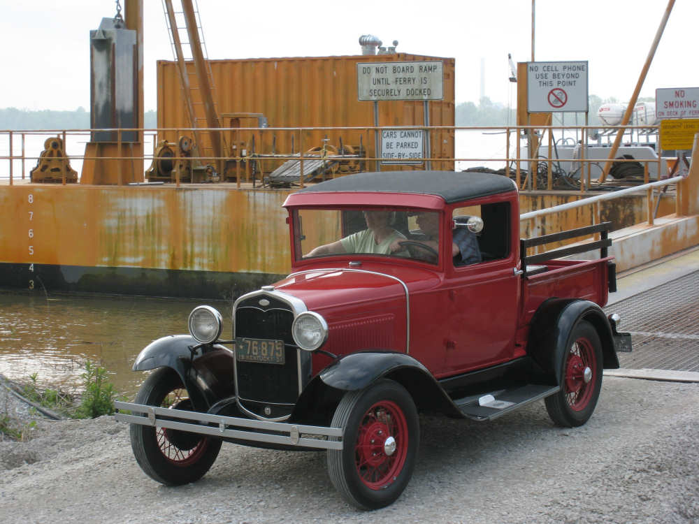
The antique car coming off the boat |
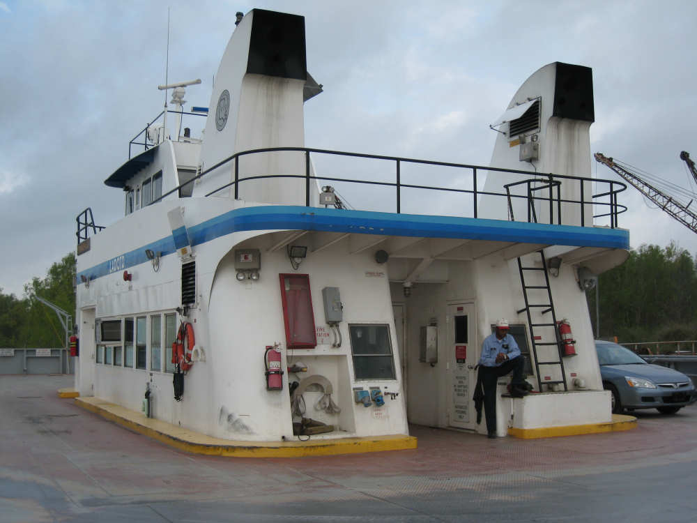
The ferry's main cabin |
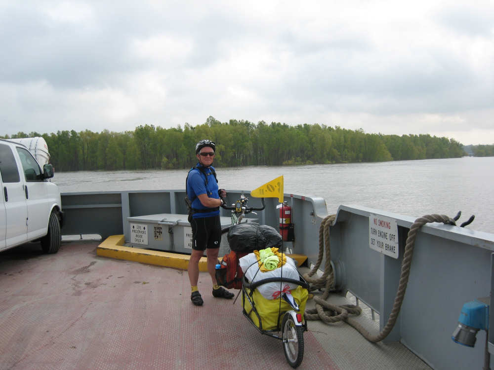
Our bike makes its way across the Mighty Mississippi |
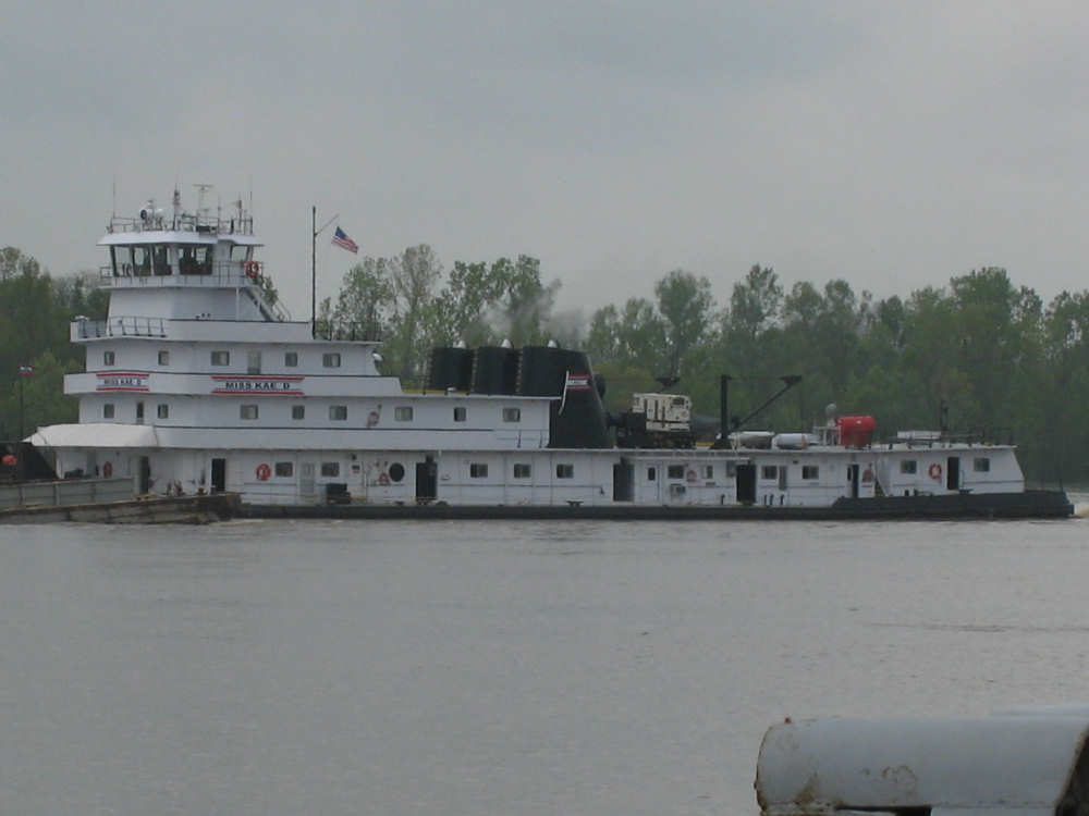
The large tug boat pushing a coal barge |

The back of the tug boat with the barge in front of it |
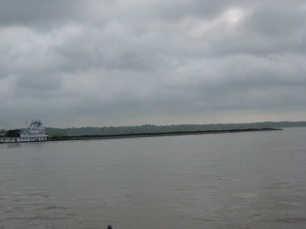
A shot of the tug boat and the full length of the barge |
Reaching the dock on the other side |
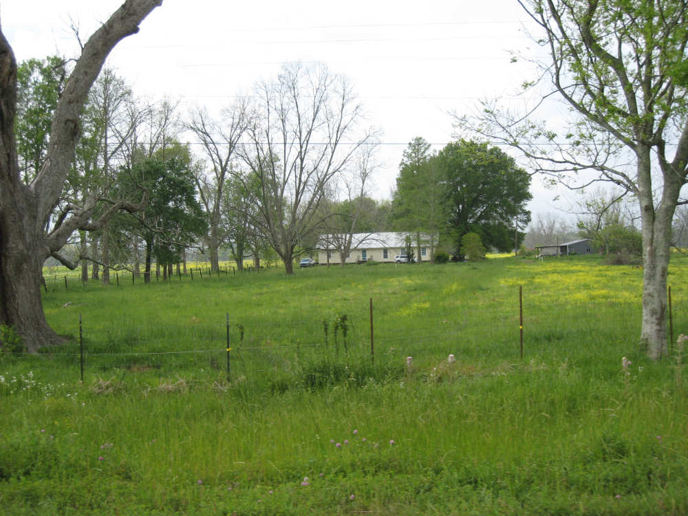
House and pasture on outskirts of New Roads |
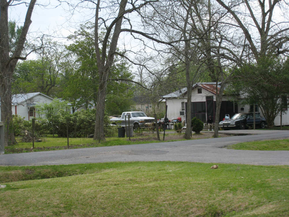
Some modest houses coming into New Roads |
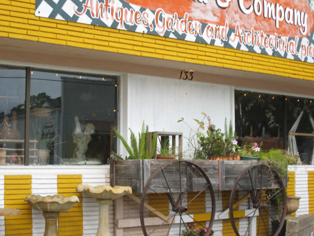
An antique store |
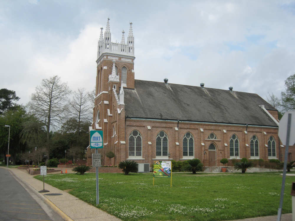
A Catholic Church |
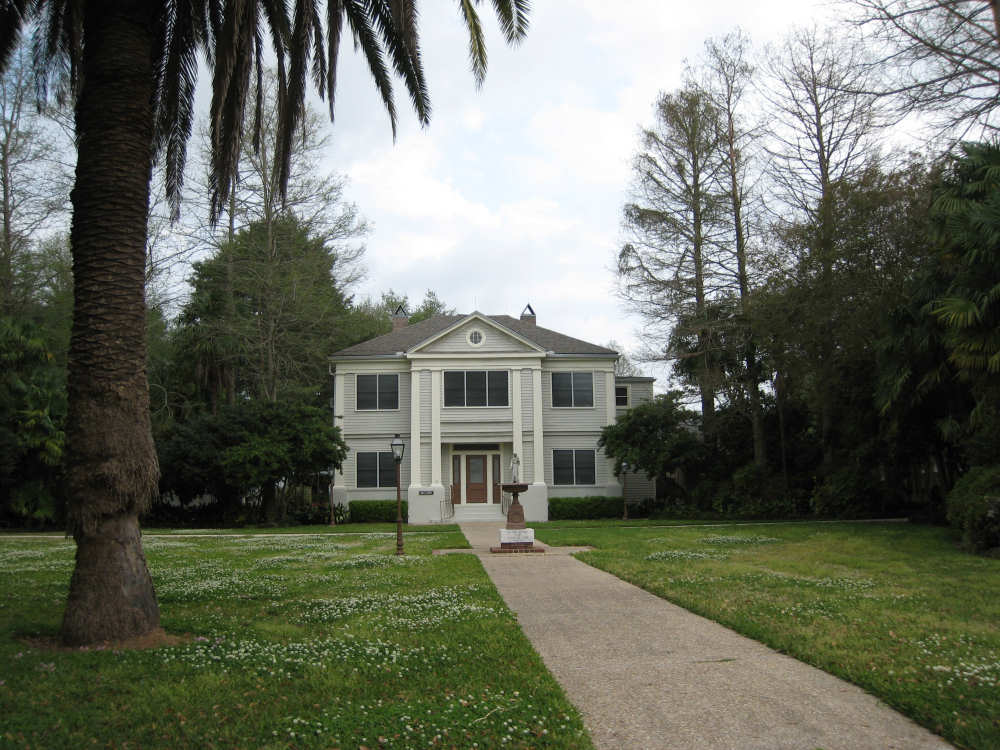
A fancy house |
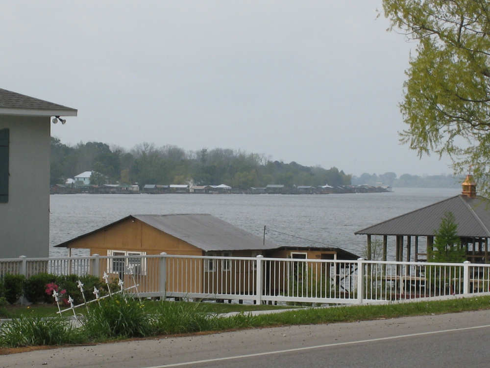
A view of the 'False River' arm of the Mississippi |
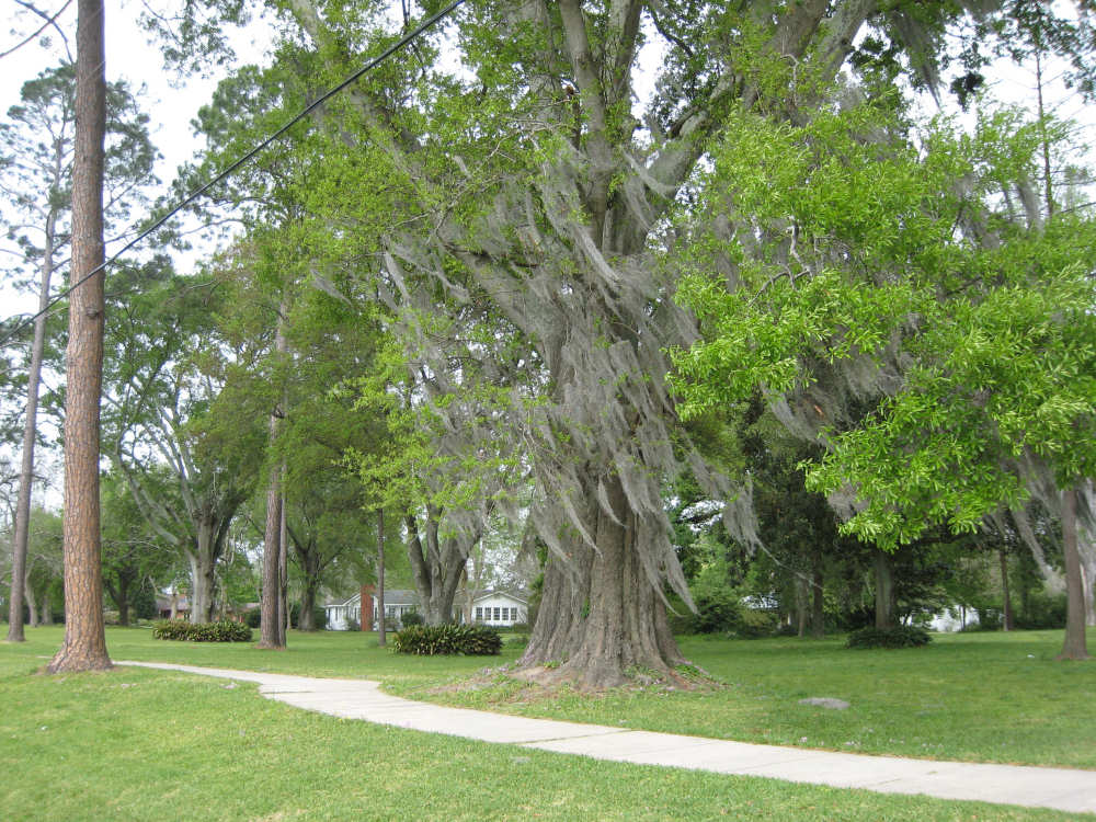
Spanish moss on trees along the road |
The woman who invited us to see her place along False River |
Her landing by the river |
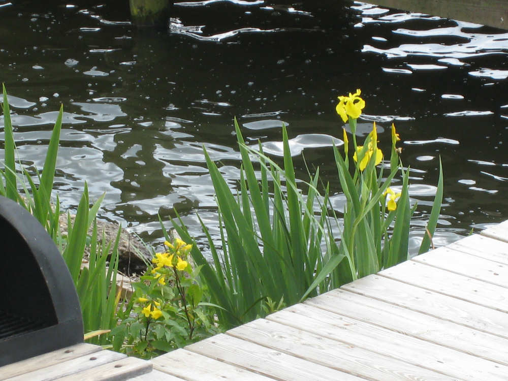
Her irises |
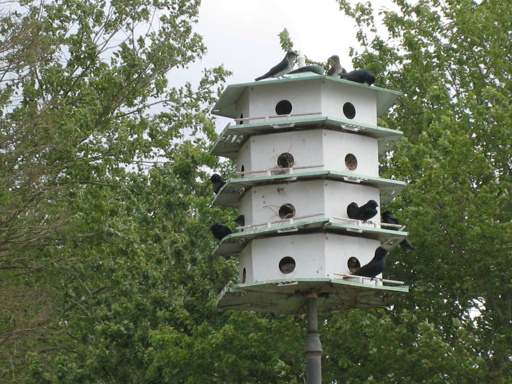
The purple martins at her feeder |
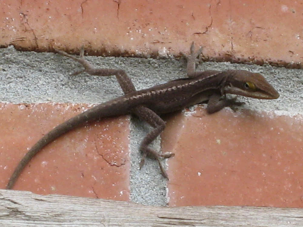
The lizard climbing up the wall of her house |

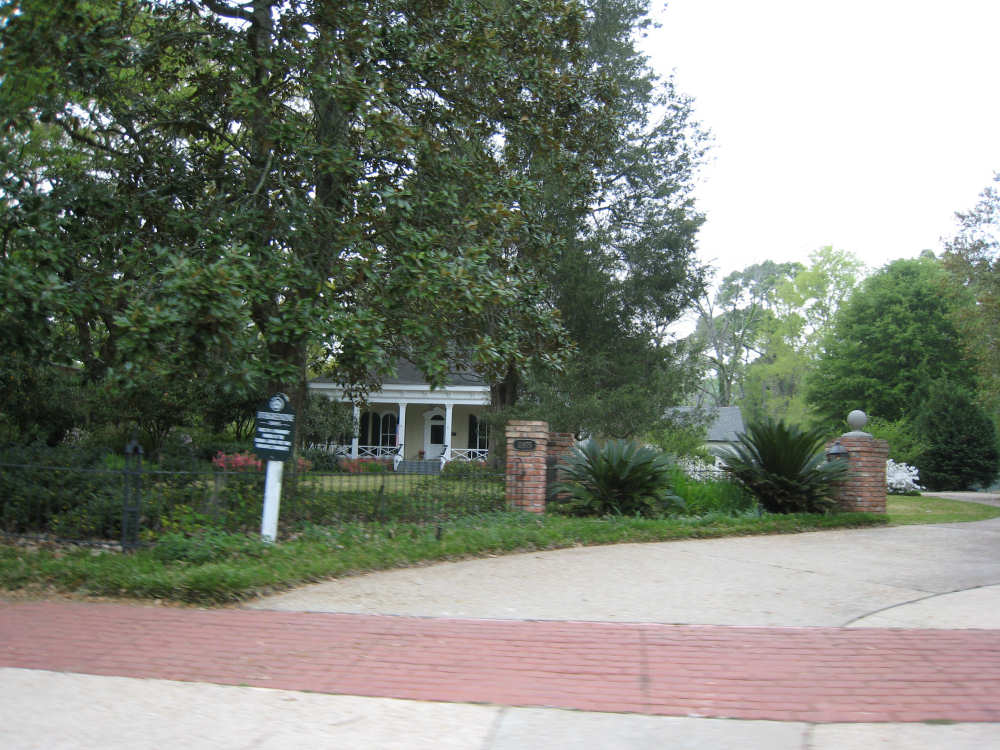
Sign for the Parlange house - the oldest pre-Civil War home still owned by |

The Parlange house, mostly hidden by trees |
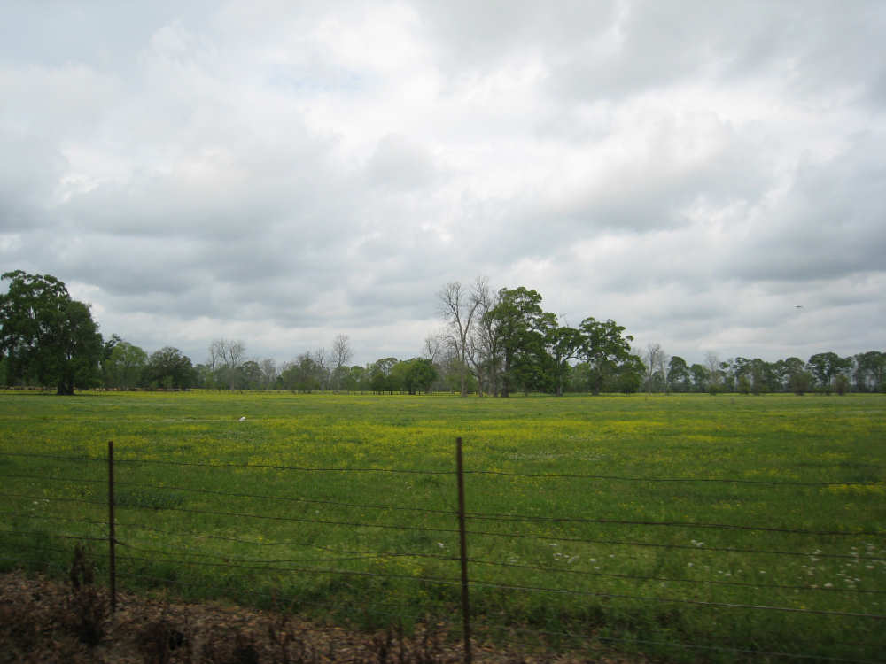
Large pastures... |
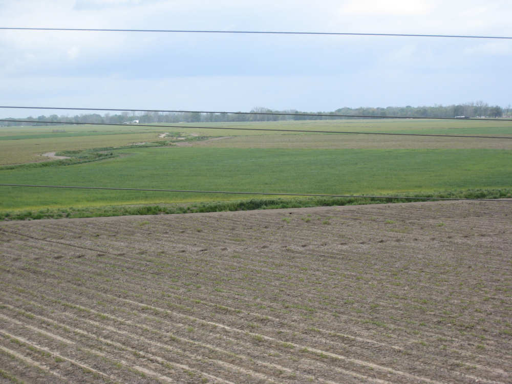
and crop fields |
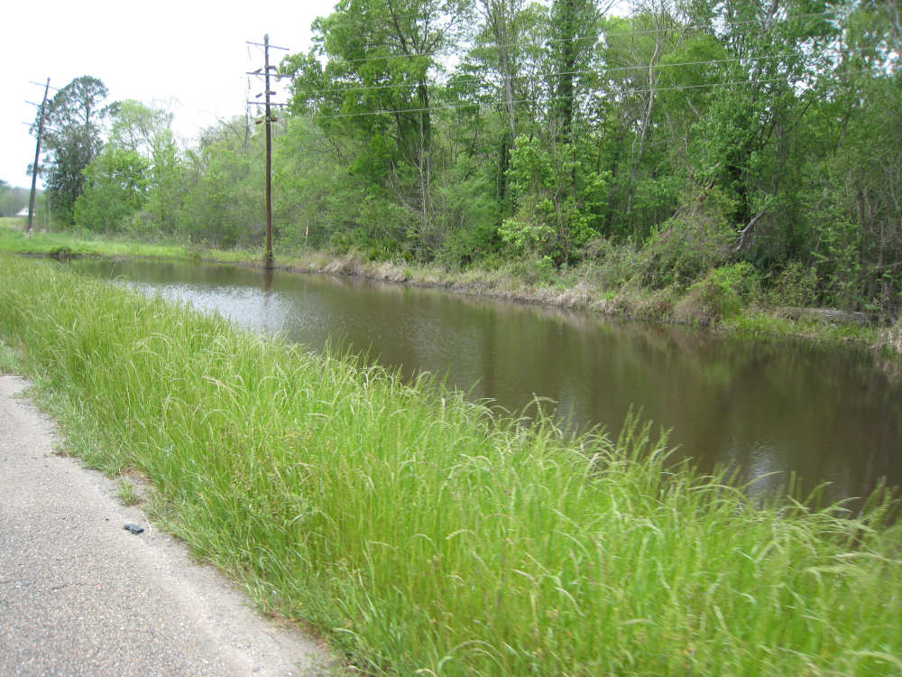
Bayous by the side of the road |
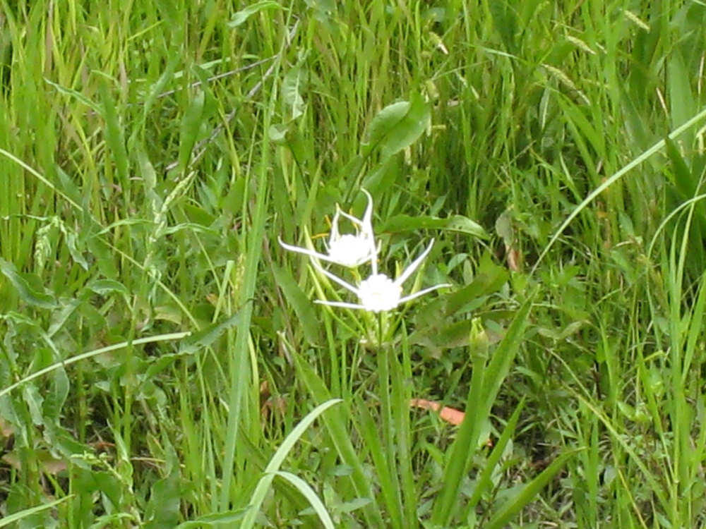
An interesting new wildflower |
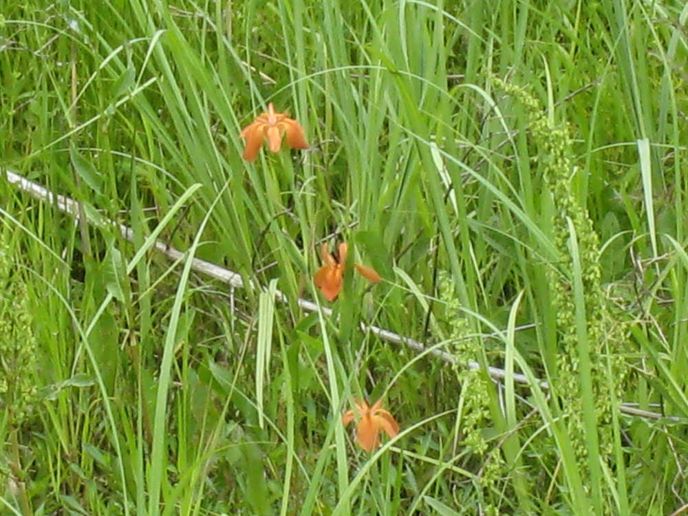
and some tiny orange irises |
The 5-mile long bridge over the Morganza Spillway |

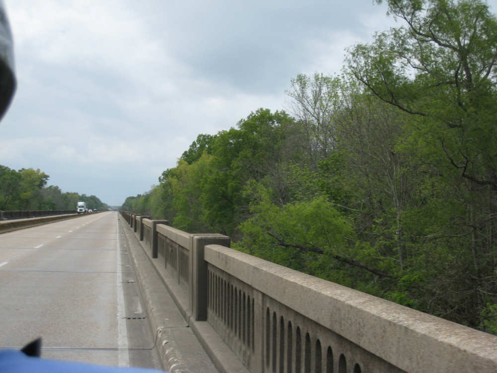
Bridge of the Atchafalaya River |

The river sign |
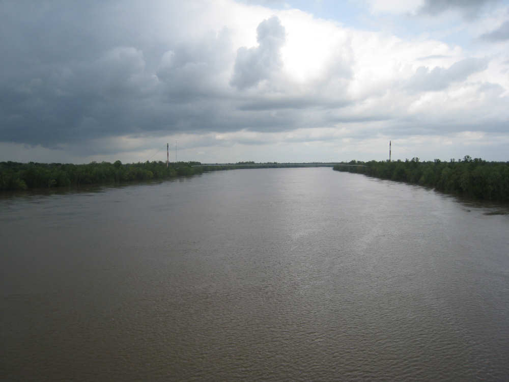
The Atchafalaya River, from the bridge |
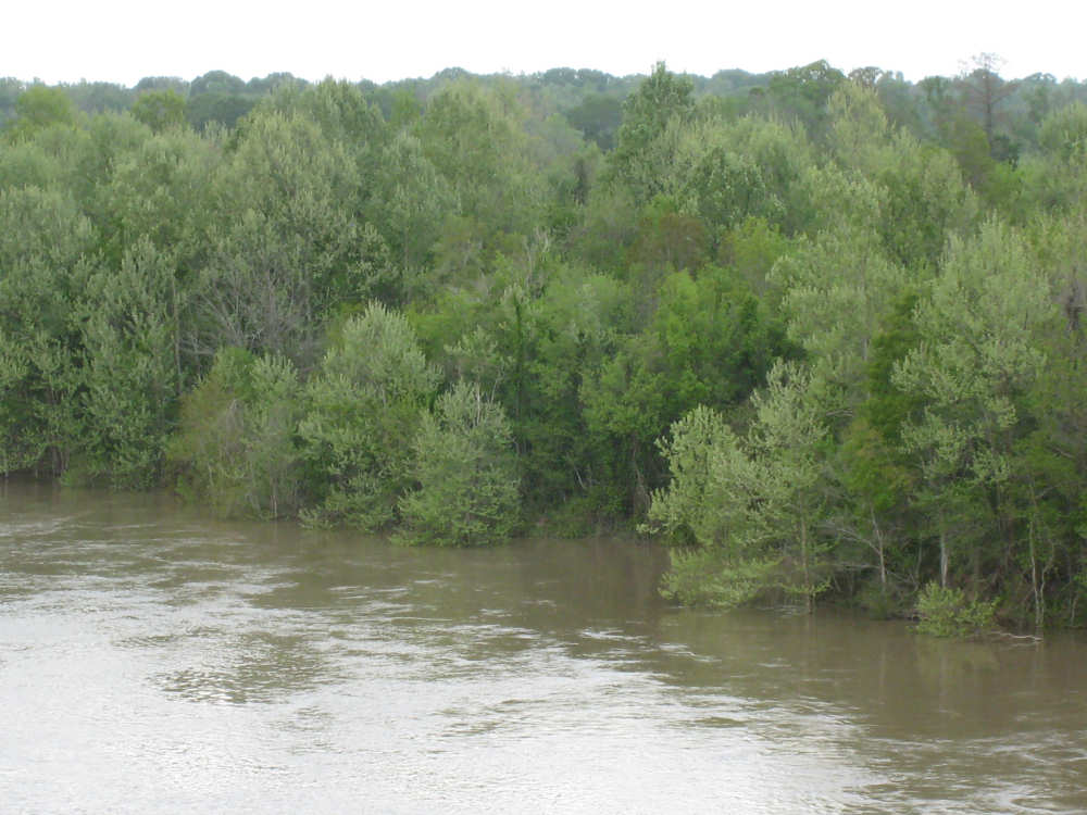
Along the river, more trees partly under water |
Another lovely wildflower |