Thursday, April 03, 2008
DeRidder, LA to Kirbyville, TX
44 miles (1671 total miles)
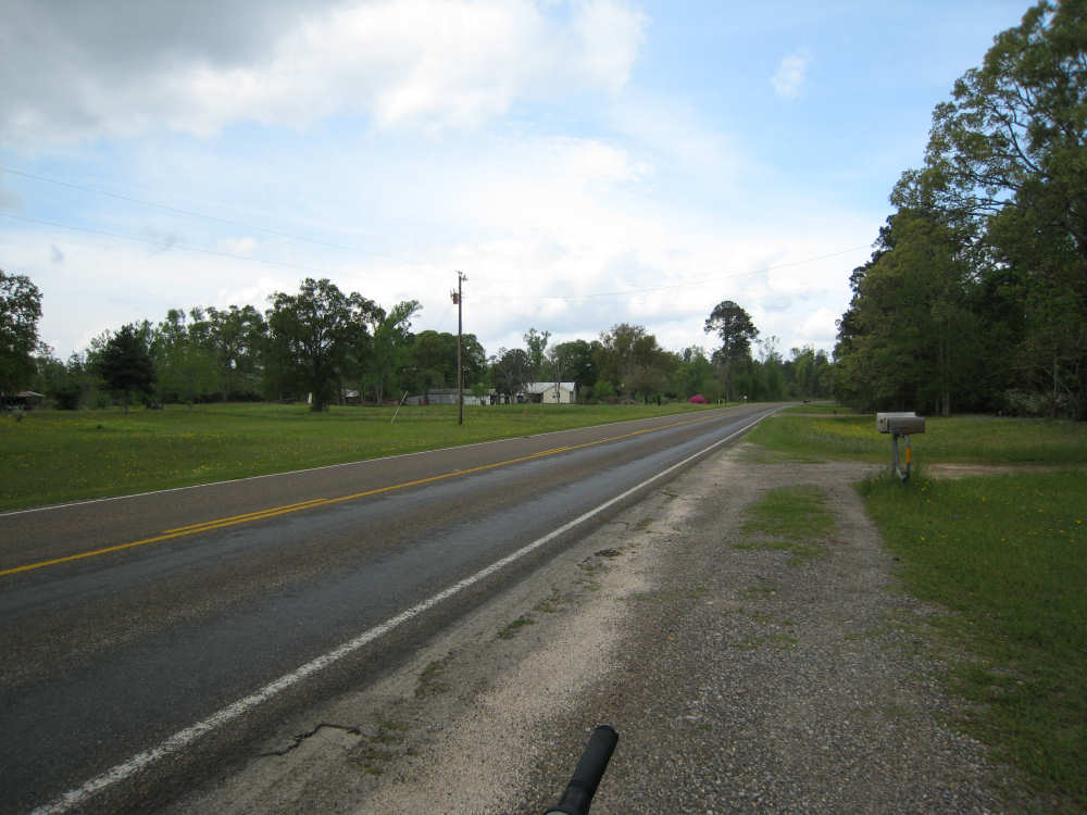
Today was a short day, although in some ways it seemed harder than yesterday. We started out at 7:15, very early considering we had a good pancake and sausage breakfast at the hotel before we left. Our hosts, the Stage Coach Inn in DeRidder, LA, were very gracious and accomodating. It was already 67 degrees and a little humid when we started, which had us a little worried. But we had a good road - Route 190, with a wide and smooth shoulder - and the traffic wasn't too bad. It was actually a little boring at first, not much scenery except for the wildflowers which continued to line the road profusely. We did have a stronger head wind and the road wasn't quite as flat as yesterday, but it didn't seem too bad. We saw a historical marker at the junction of Routes 190 and 111, near the LA border with Texas. The Atapaka-Ishak Native Americans it honors are credited with giving us the famous Louisiana Zydeco music, according to the internet.
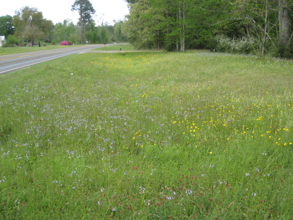
The only excitement of the day, besides the flowers, was entering Texas, our 12th state. I had to chuckle at the tag-line on the welcome sign; I wondered if they put that there to counter the Dixie Chicks' comment. The best part of entering the state was the Sabine River which marked the border between Texas and Louisiana. It was a very impressive river, very high and moving very fast. Big tree limbs went churning past us as we watched and took pictures. Another good part was that the wildflowers continued to line the road, and we saw several new ones that Sarah will have to give us the names for (and she has!). The bad part was that we didn't see a welcome sign into Louisiana, looking back over the border. So we didn't get a welcome to LA at the beginning or at the end! Maybe the sign was farther into the state and we didn't notice it, but we thought it was very strange that Louisiana wouldn't have a welcome sign on such a major road.
Shortly after entering Texas, we turned onto Farm Road 363, a narrower road with a rough surface and lots of traffic. I thought it incredible that the speed limit on a back road like this would be 70 mph! Most of the traffic didn't go that fast, but there was a fair bit of traffic and a lot of it was trucks. The rough surface, the winds, and the heat all made for slower going. We were glad we didn't have these conditions yesterday when we had so many miles to cover. But knowing we only had 43 miles to go allowed us to take it easy. Plus, we didn't have as much "fuel" today - I have to confess, we tanked up with a dozen sugar-glazed donuts yesterday, split between us, eaten at the rate of about 1 per every 10 miles! Hey, you gotta do what you gotta do to get the job done.
We did have a couple of good meals today - a mini second breakfast at Bobby G's in Merryville, LA and a scrumptious lunch at Mama's Country Kitchen in Bleakwood, TX (it was a pretty bleak area, actually, but the restaurant was spotless and we were well taken of). We pulled into our destination, the Gateway Inn in Kirbyville, TX by 1:30. Oh, almost forgot our mystery of the day. We started seeing these mounds of dirt now and then yesterday, but today we saw enough of them that we had to take a picture and see if anyone knew what they were. We thought they might be termite hills or something. They tend to be in the drier ditches along the side of the road. The batch we photographed looked like a colony of them all lined up. Update: Sarah, the wildflower expert, also came up with the answer to this one. They are mounds that crawfish make in drainage areas when they are flooded. That explains why these were empty, since the water has all dried up. Thanks again, Sarah!
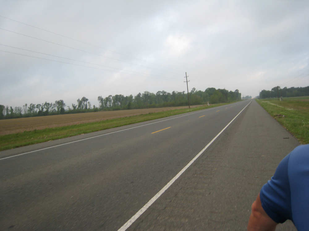
Route 190 - open fields, pine trees, wide road, good shoulder |
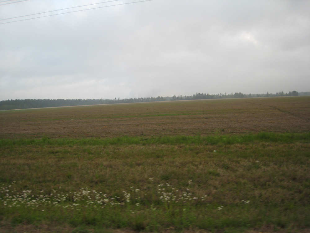
Big open fields along the road |
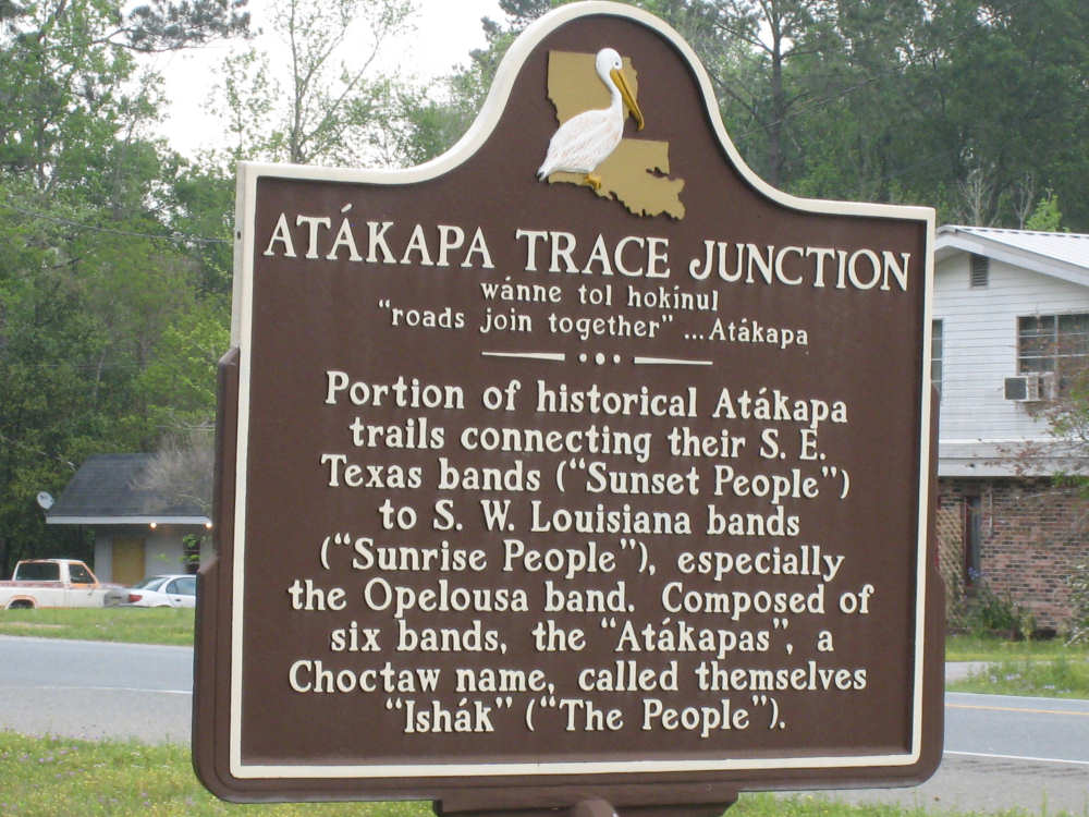
The Atapaka-Ishak marker at Routes 190 and 111 |
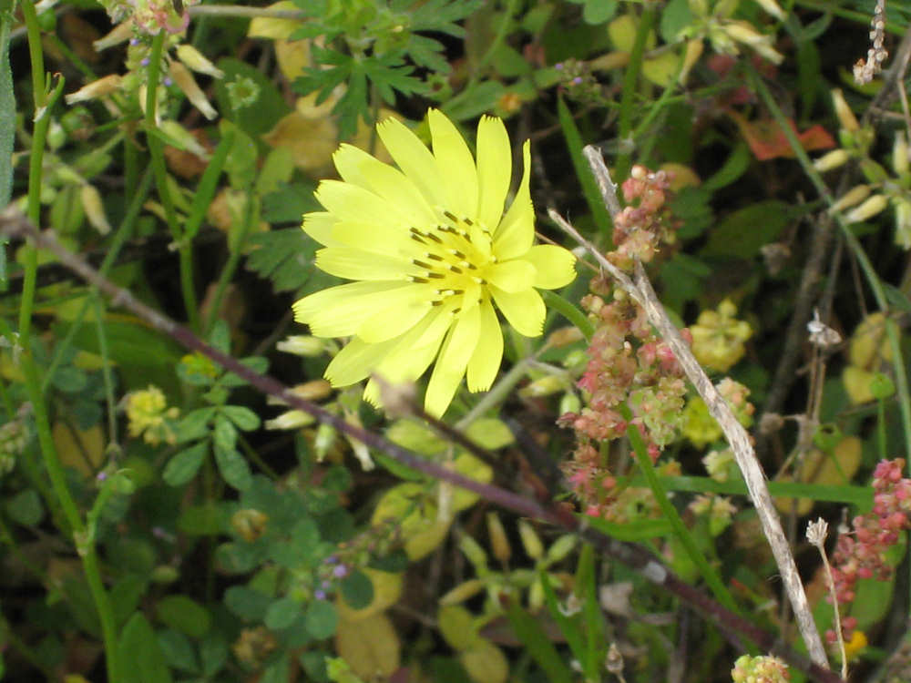
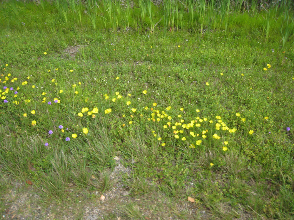
A false dandelion |
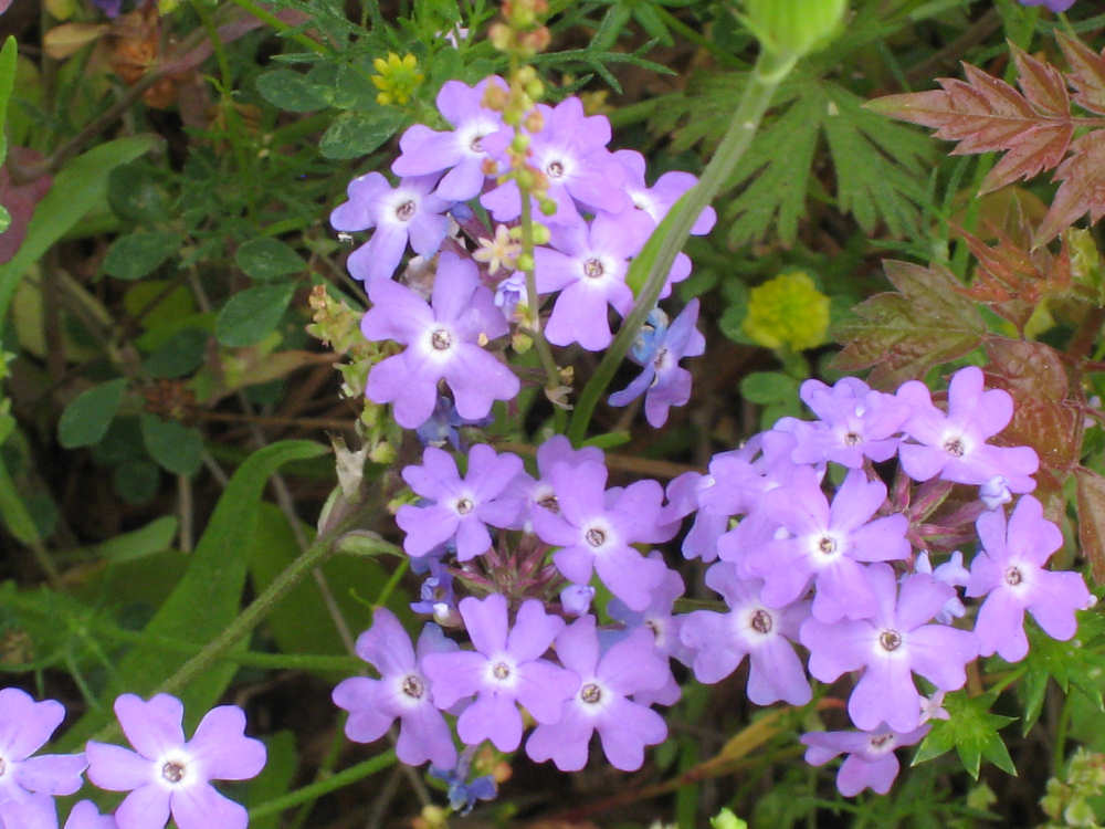
Dakota Vervain |
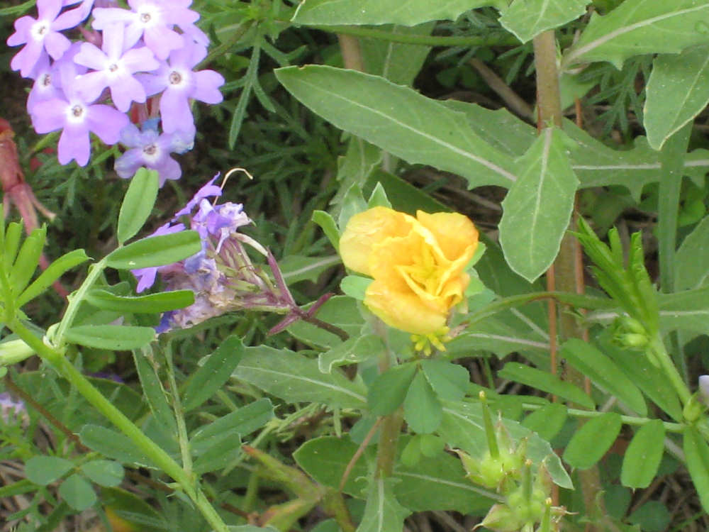
Partridge Pea |
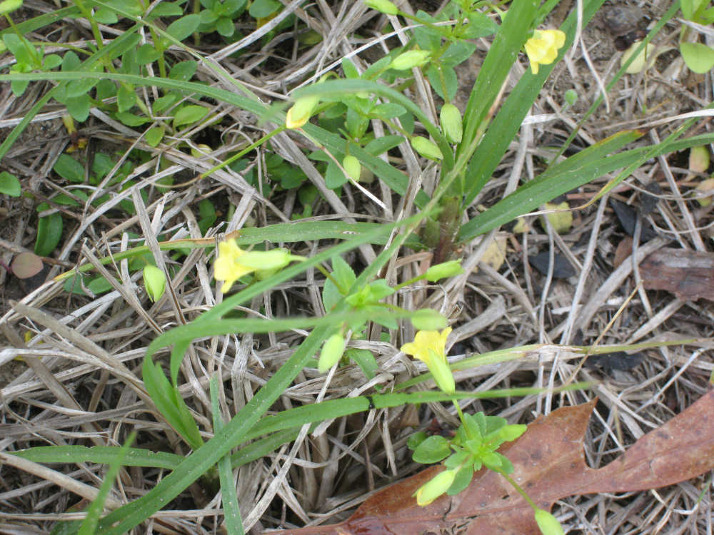
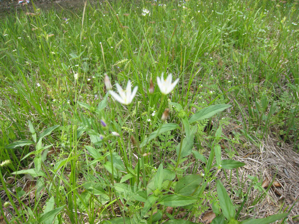
As yet unidentified wildflower |
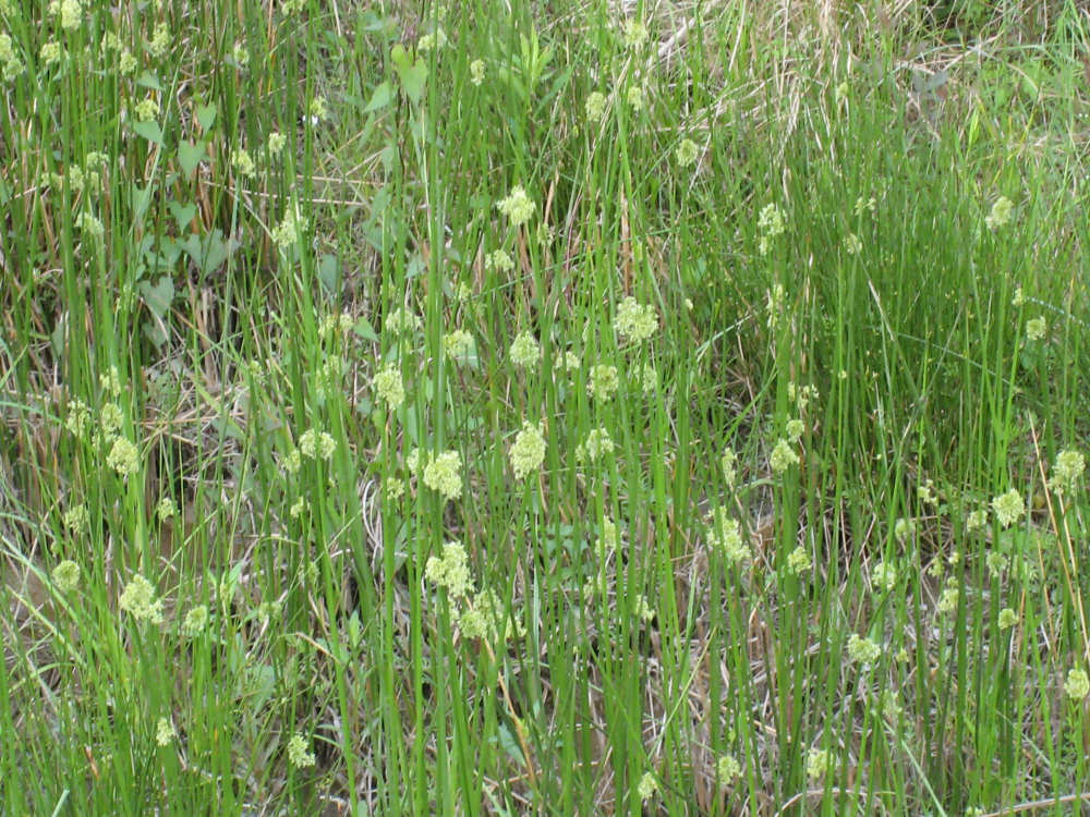
Grasses with a burst of tiny flowers half-way up the stem |
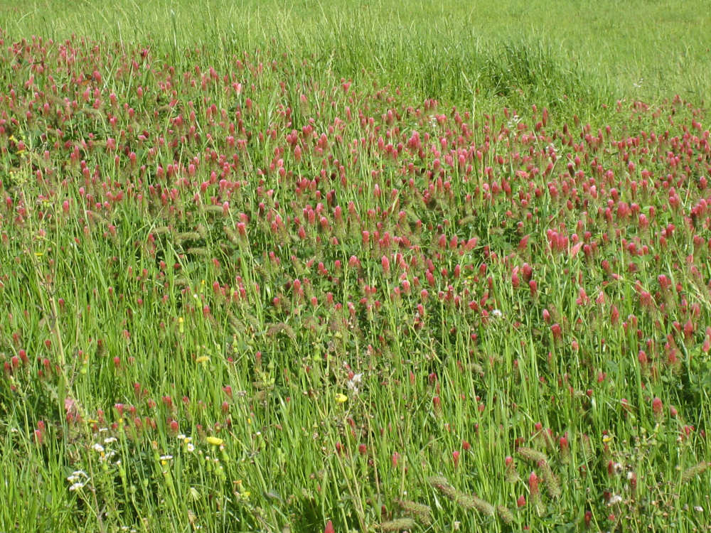
A big swath of crimson clover next to the Sabine River |
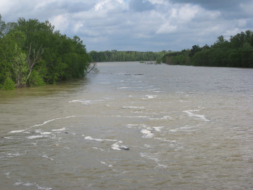
The fast-moving, very high Sabine River, border between LA and TX |
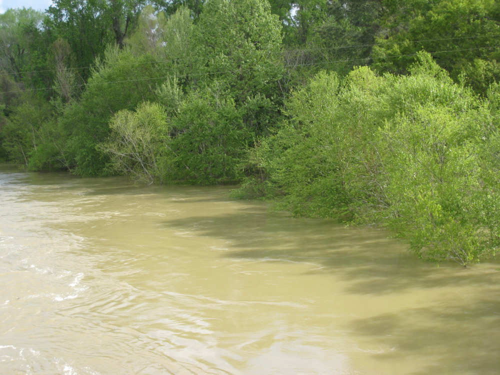
Sabine River with trees partly under water |
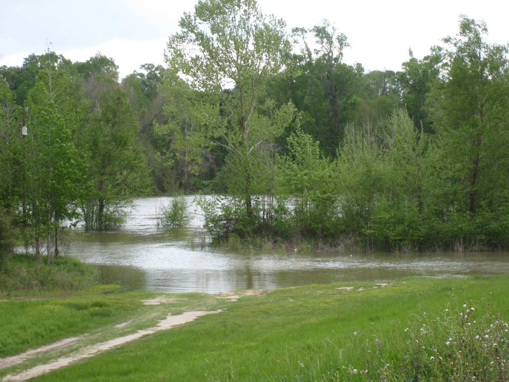
The river leaking over the banks under the bridge |

Our welcome to Texas |

Pat shows where we are on the map |
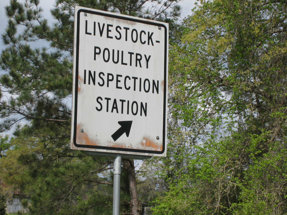
This, and the truck weigh station, were both closed |
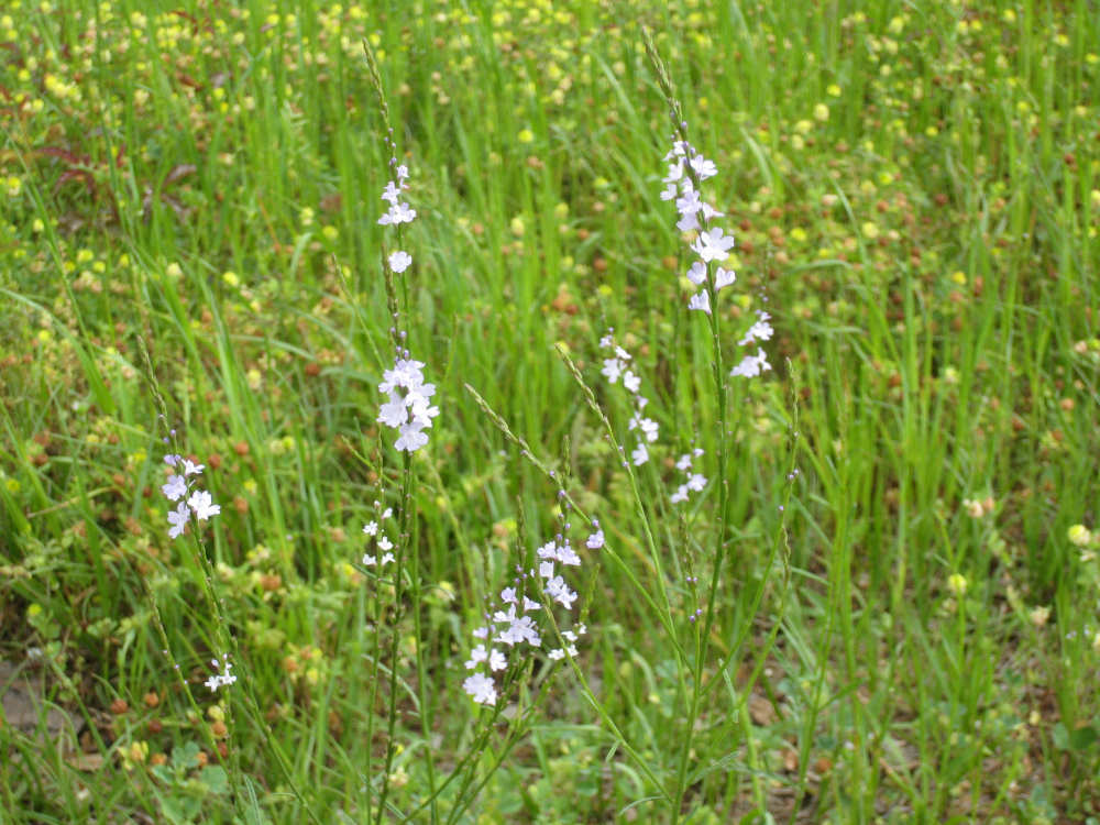
Texas Vervain |
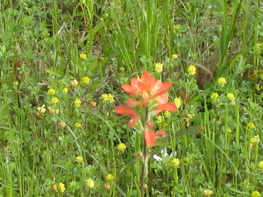
Indian Paintbrush with Bur-Clover |
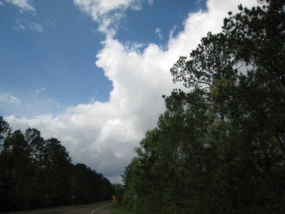
Big clouds occasionally blocked the sun |
We soon turned off onto Farm Road 363 - narrower, rougher, with lots of trucks |
But still lots of wildflowers |
|
Wild onion or false garlic (aka Star of Bethlehem) |
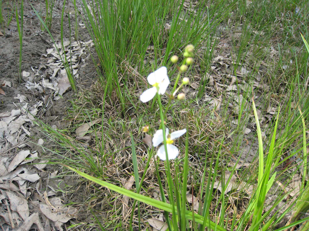
Arrowhead |
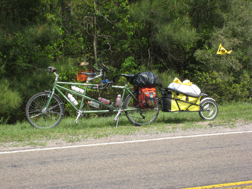
Our bike rests, with the trailer flag snapping in the wind |
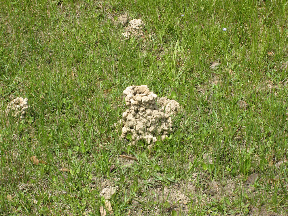
Our mystery of the day - crawfish mounds! |
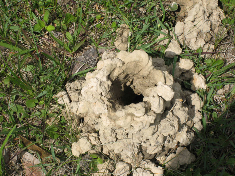
Down the rabbit hole |
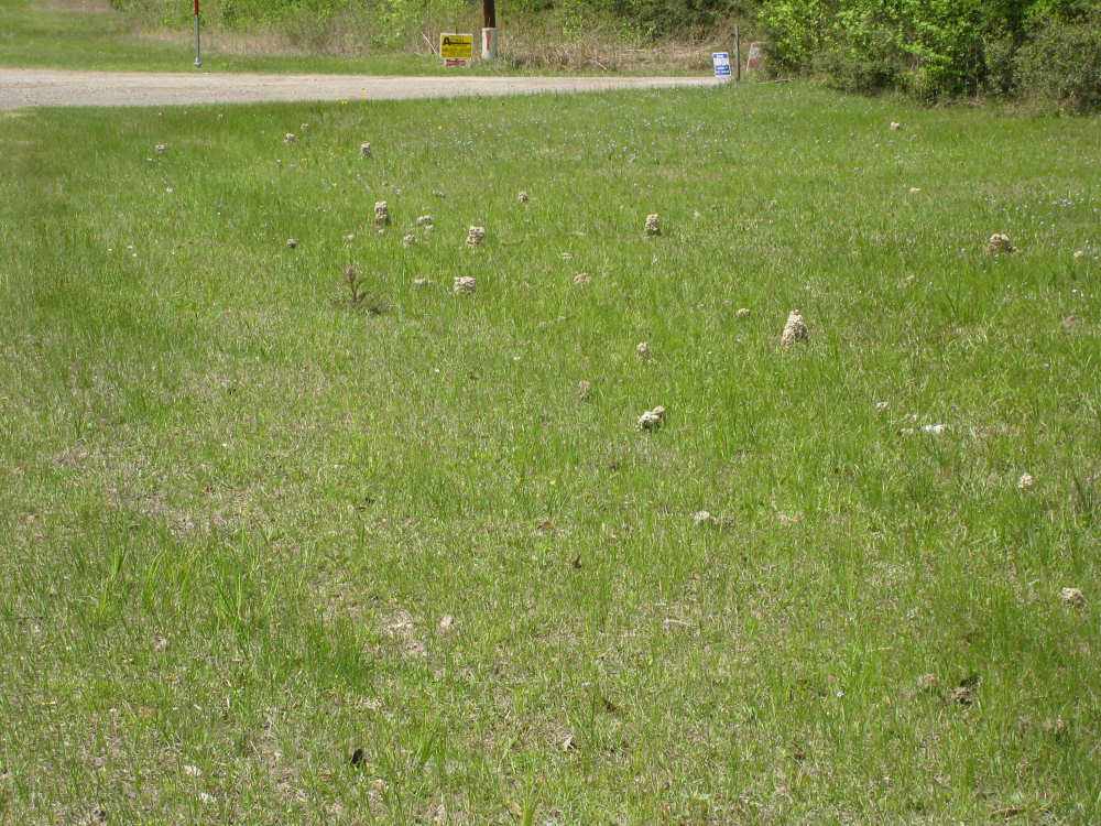
A colony of mounds lined up in the ditch |