Wednesday, April 16, 2008
Camp Wood, TX to Del Rio, TX
79 miles (2375 total miles)
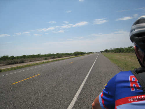
The day started out very cloudy and cool, which suited us fine as we had a long way to go today. We were on 3 different roads today, Hwy. 55, SR 334, and Hwy. 90. They all had the usual rough surface, although near the end of the day when we crossed into Val Verde County, we finally got a nice smooth roadway with a wide shoulder. Given that, plus the tail wind we picked up when we turned on Hwy. 90 and the fact that it was predominantly downhill at that point, our speed jumped up considerably in the last 20 miles or so. We ended up doing 79.5 miles in 7 hours of bike time.
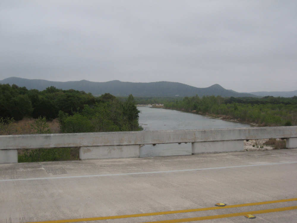
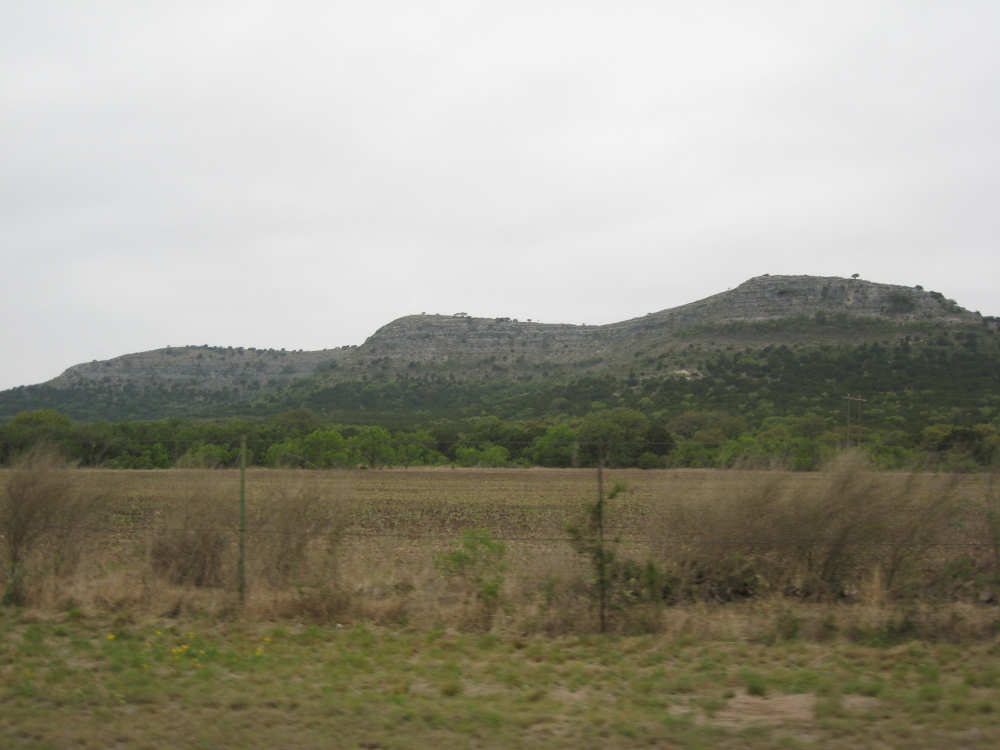
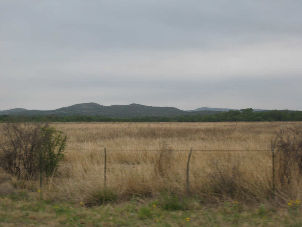
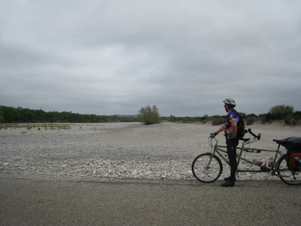
We left Camp Wood at 7:30 after breakfast at BJ's Cafe and headed south down Hwy. 55. We came to the Nueces River crossing fairly soon - as expected, it was fairly low. We rode fairly close to the Nueces for a good bit of the morning but never saw it again; later on, we went over the West Prong of the river and it was dry as a bone. It was level with the road, though, so presumably it would flood the road at that point if there were any water in it at all! It was clear early on that we would soon be leaving the hill country part of Texas. There were many fewer and smaller hills around us today. We passed Elephant Mountain, named for its somewhat elephantine shape. It advertised exotic sheep hunting as well as a vet clinic - seemed like an odd combination. We also passed an unusually large number of goat ranches, some with sheep as well, and one with a llama! At one goat ranch, we saw a couple of goats on the road side of the fence, but they scrambled back over before I could get a good picture. I did manage to snap a little lamb who was also on our side of the fence and didn't realize he was supposed to run away from us. We saw a new bird today that we never were able to get a picture of, or even see very clearly because they flew off before we got a good look at them. They were as large as vultures, but were light brown instead of black and their tails were somewhat fan-shaped with white as well as brown feathers in it. Any bird experts care to guess at what they were?
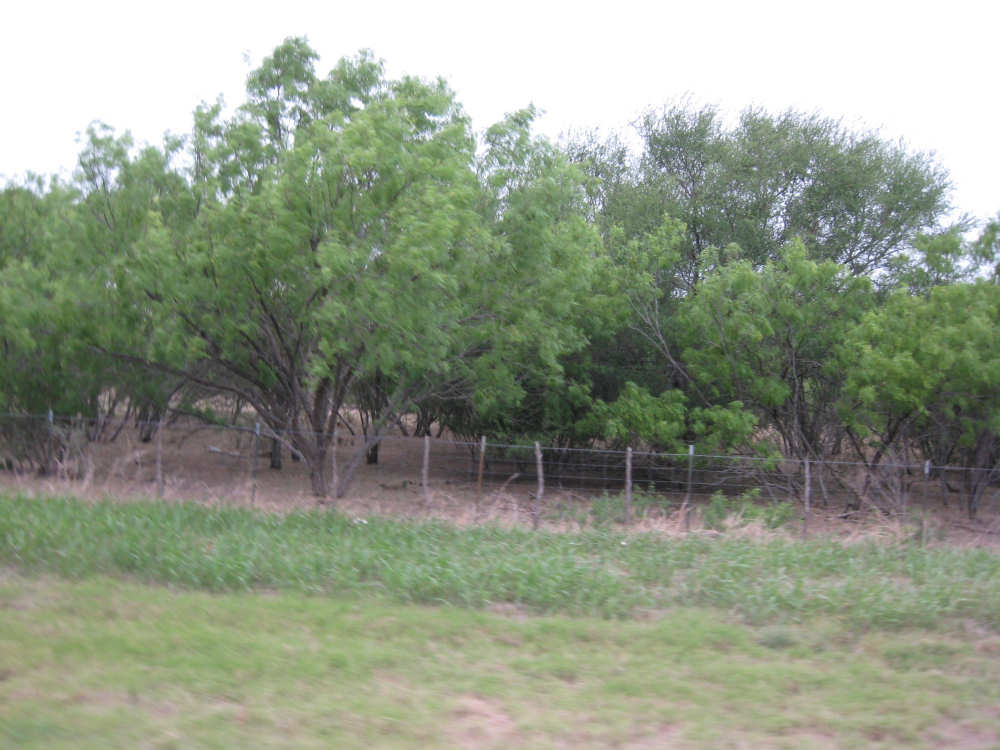
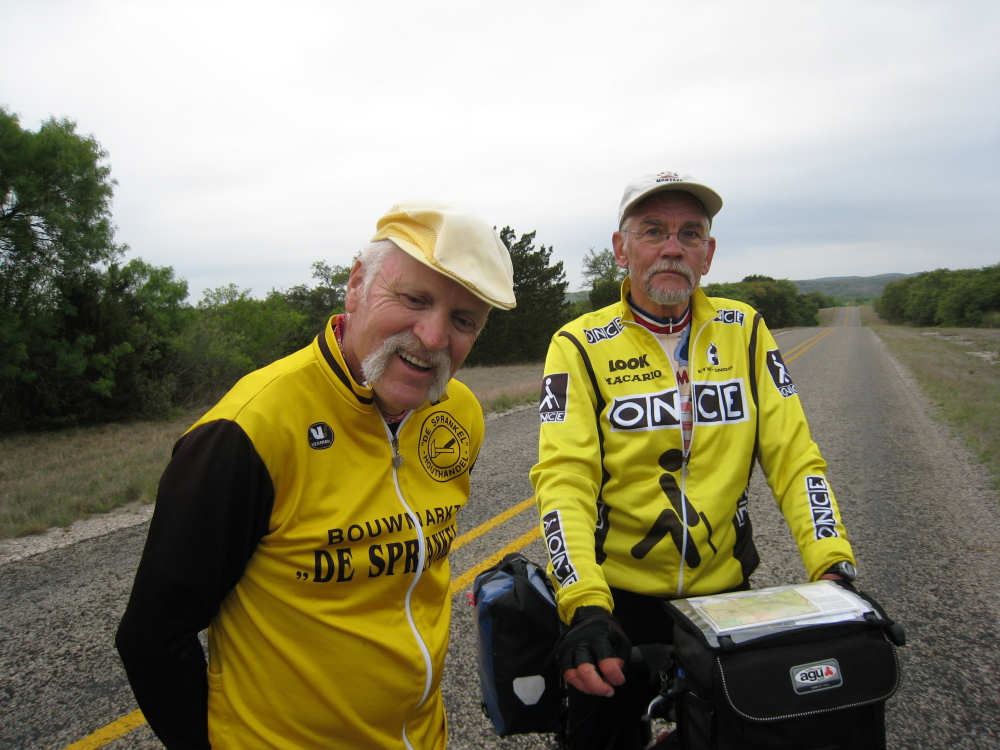
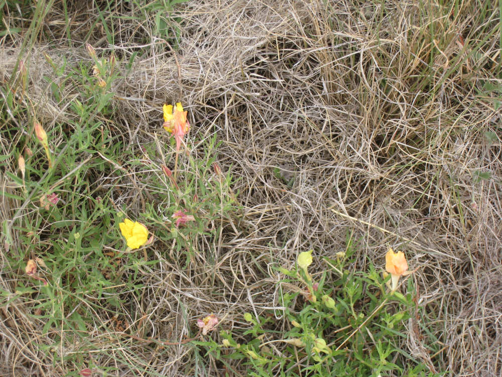
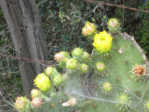
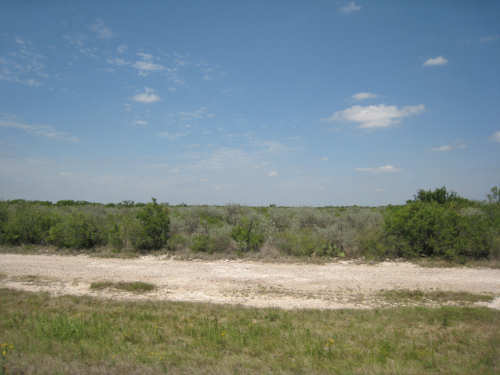
We turned west onto SR 334 after about 18 miles. The terrain was changing fairly significantly, getting flatter with more shrubs and different plants than we'd seen before. We stopped for a snack and took some pictures of the plants there. This road went on for about 30 miles with very little traffic (we saw roughly 2-4 vehicles an hour), but we did happen upon 2 other touring bicyclists - Jan and Franz from Eindhoven, Holland! They were on the Adventure Cycling route going east. We chatted for a while about the routes and all.
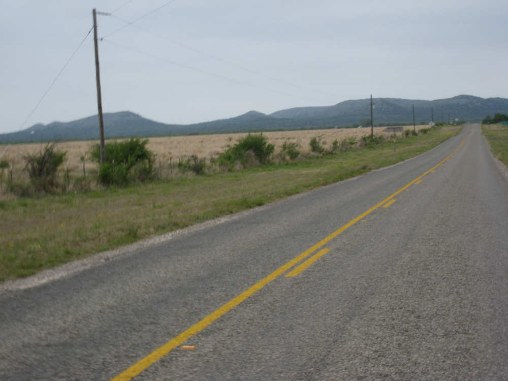
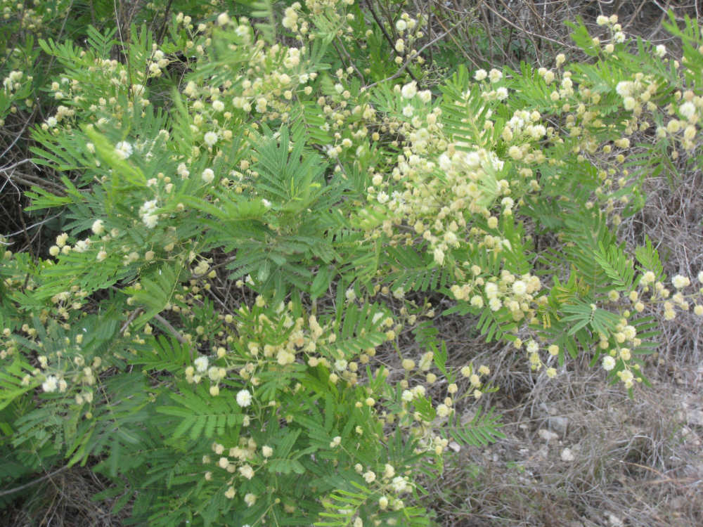
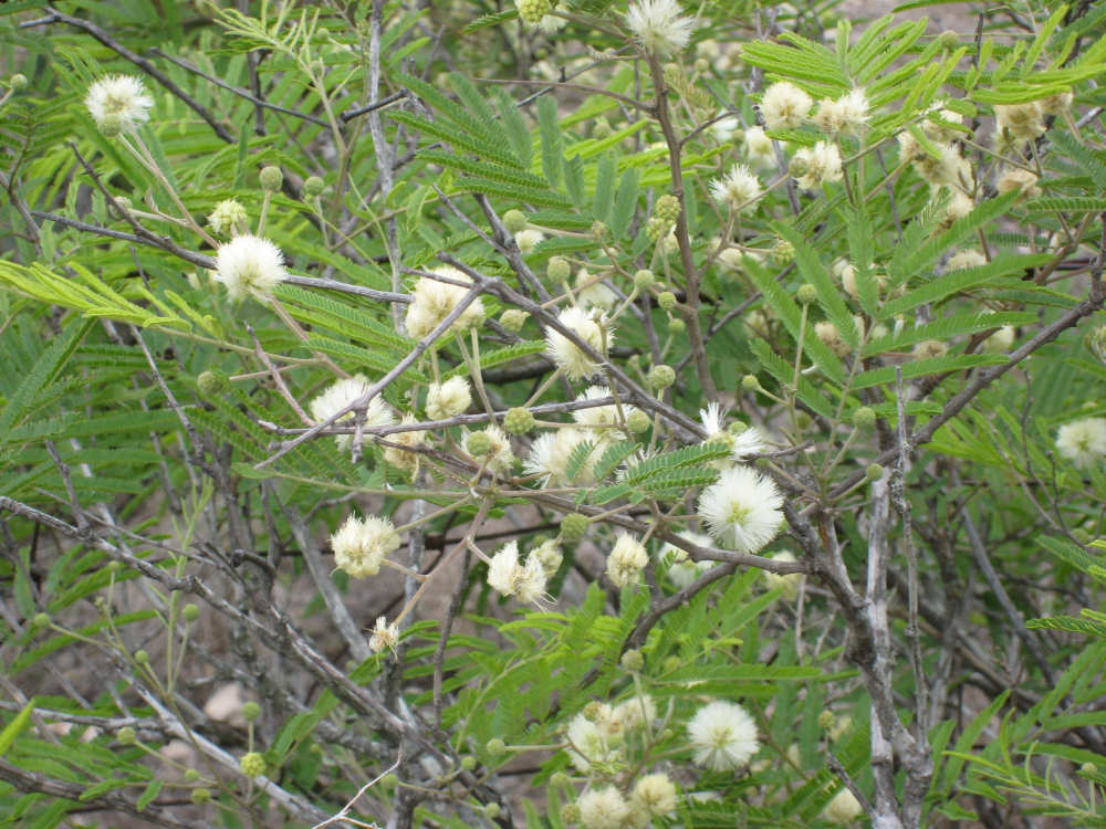
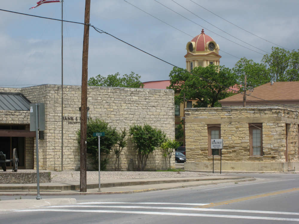
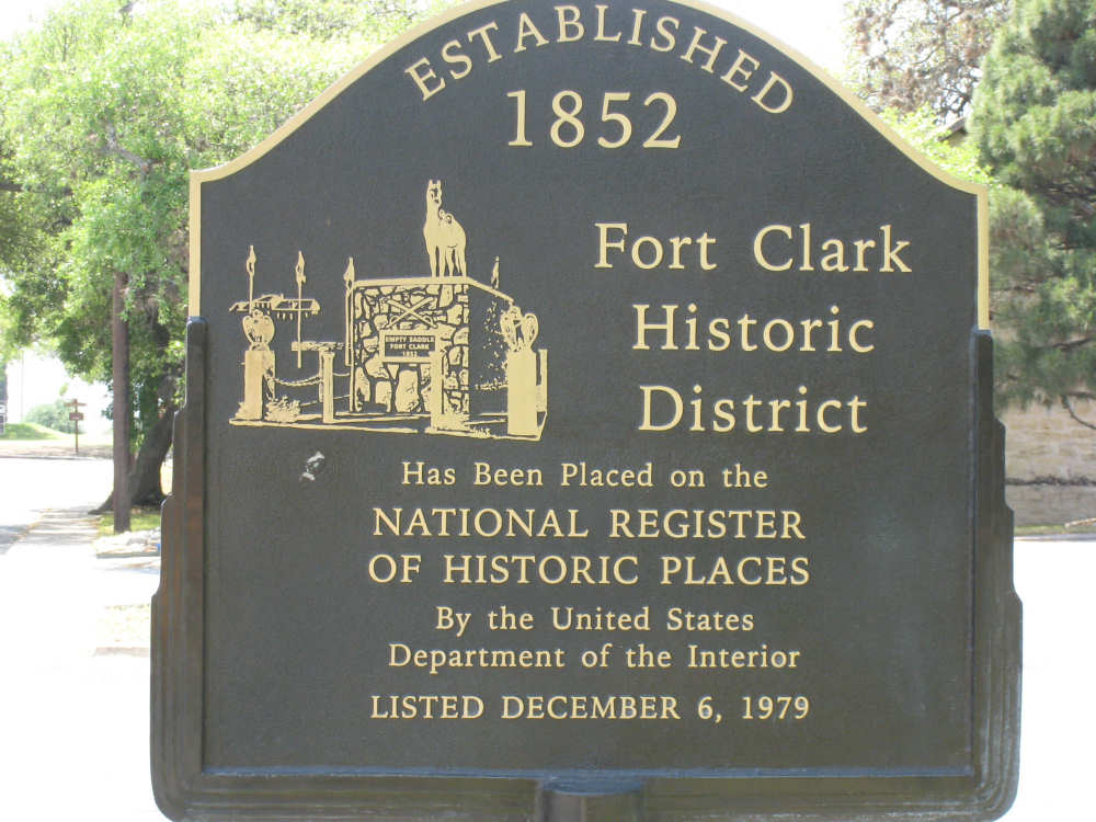
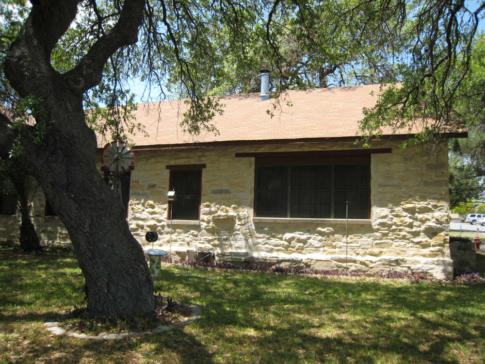
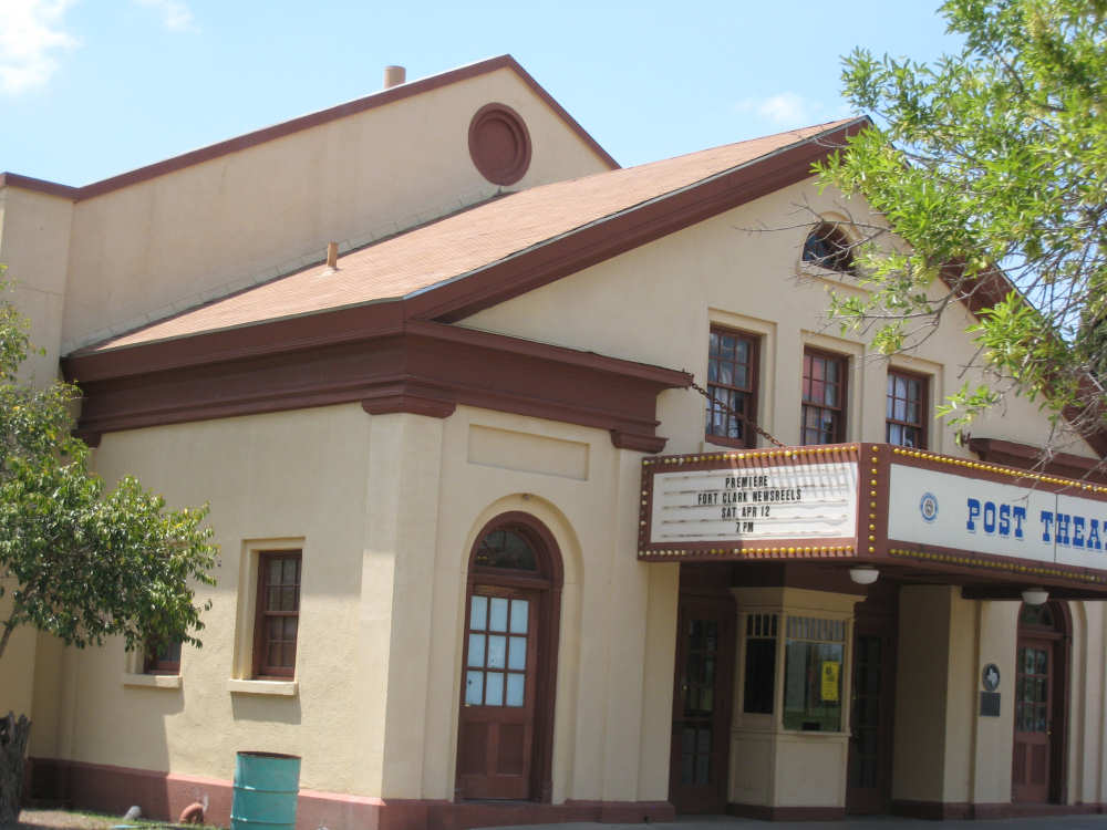
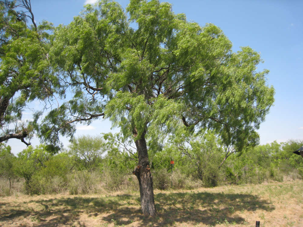
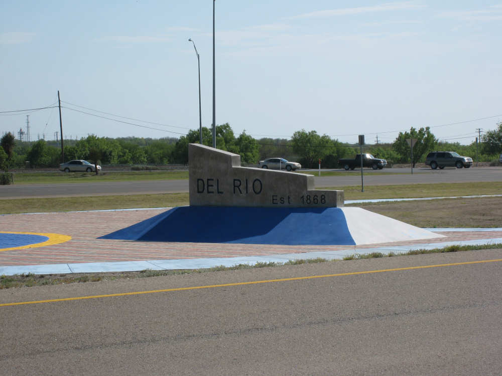
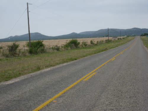
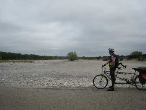
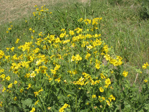
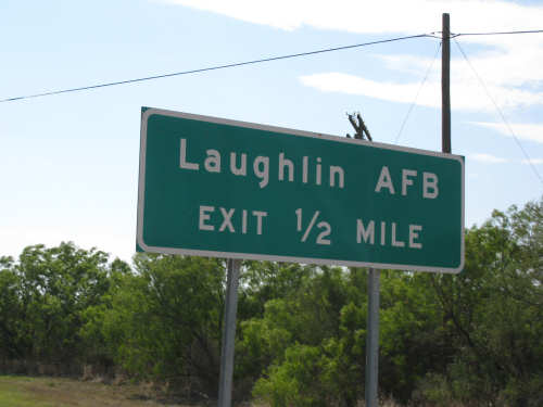
SR 334 ended in Brackettville, the first town in the 48 miles since we left Camp Wood. We found a cafe where we ate lunch and chatted with a fellow at the next table. He recommended we stop at the Fort Clark Springs Park which we were right next to, before heading out Hwy. 90, so we did. Fort Clark was established in 1852 during the war with Mexico and used again in World War 2. The barracks had been converted to hotel rooms but kept in the same style as they had been. There were several large pecan trees and flowering mesquite trees there, as well. We did a very quick tour and then turned onto Hwy. 90 for the last 30-mile leg of the day. We were encouraged to find we had a fairly strong tail wind at least and that the road had a lot more downhill and flat areas than uphill. The clouds had completely disappeared while we ate lunch, though, and the sun was very hot for the rest of the day. There was more traffic on 90, but it had a wide shoulder so it was not troublesome. There were many lovely trees along the road, some flowers, mostly daisies but other varieties as well. We passed a creek that had a little water in it but a very wide bed that was mostly dry. We started hearing jet planes overhead and then started seeing them low over the road ahead. Shortly thereafter, we saw signs to the Laughlin Air Force Base. And shortly after that, we entered the Del Rio city limits. There were plenty of motels and restaurants to choose from and our cell phones finally worked again! It was a long day - we arrived around 5:30 - but all in all, a good one.
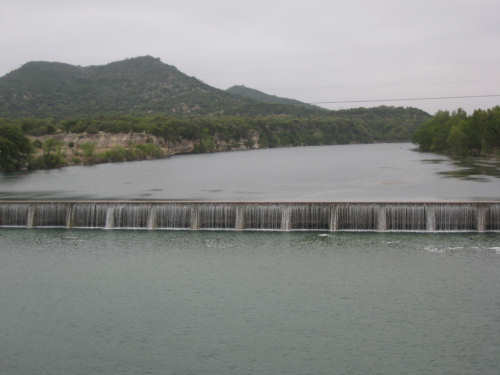
The Nueces River
|

The river on the other side of the bridge
|
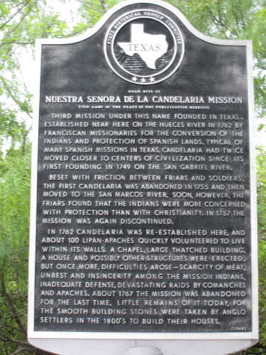
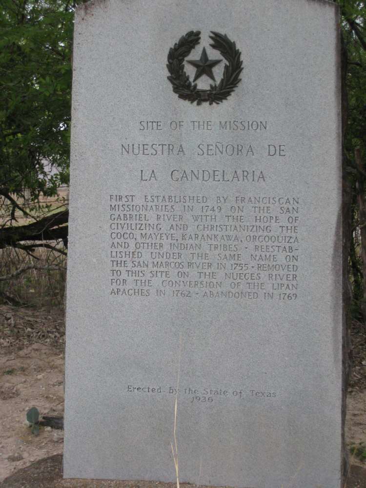
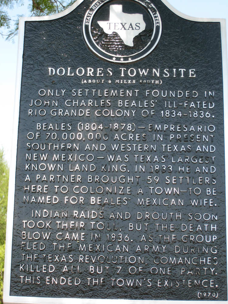
3 historical markers at one spot along the road
|
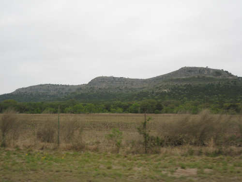
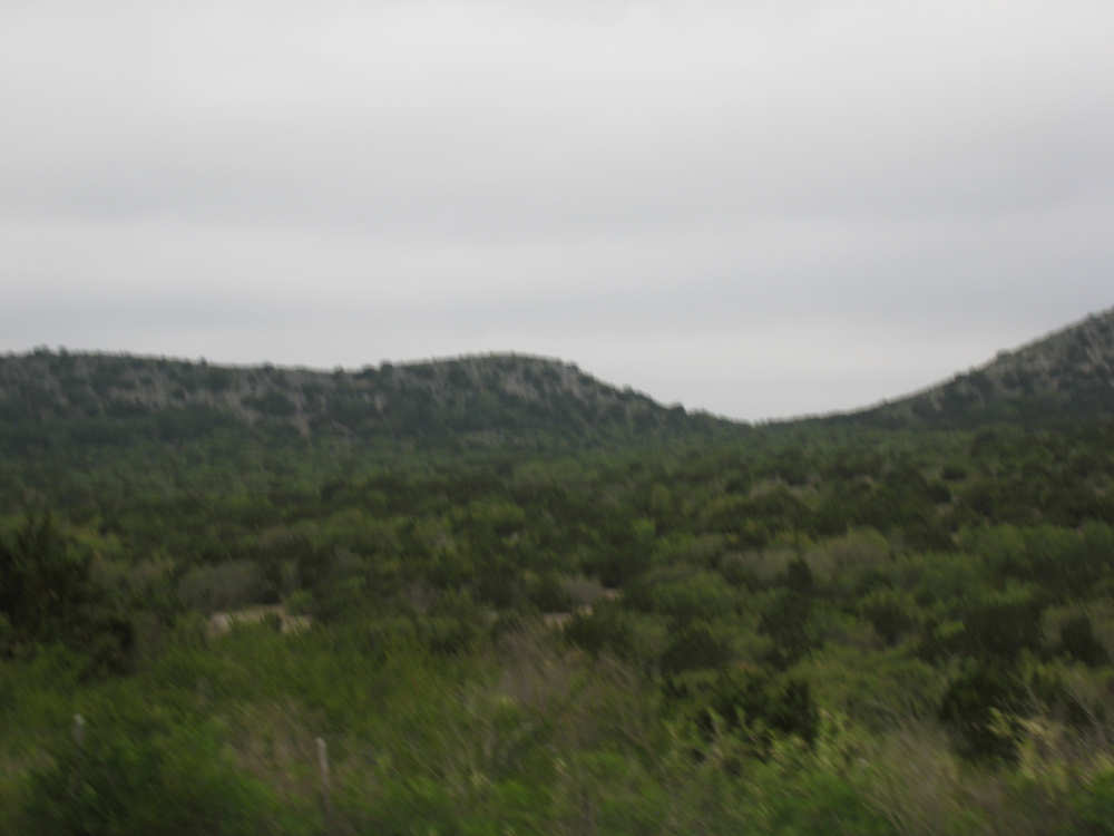
One of the last of the hills
|
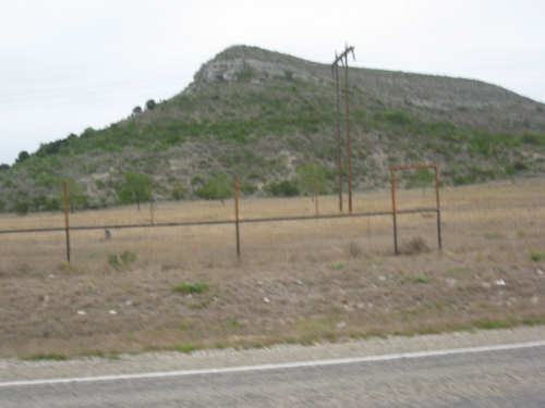
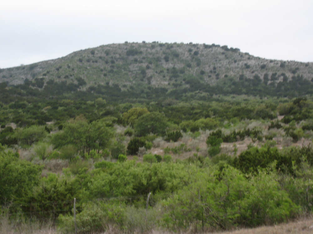
Elephant Mountain
|
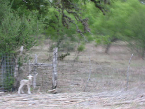
A lost sheep by the side of the road
|
Some views along Hwy. 55
|

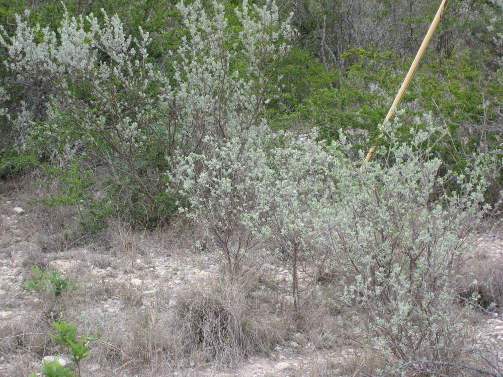
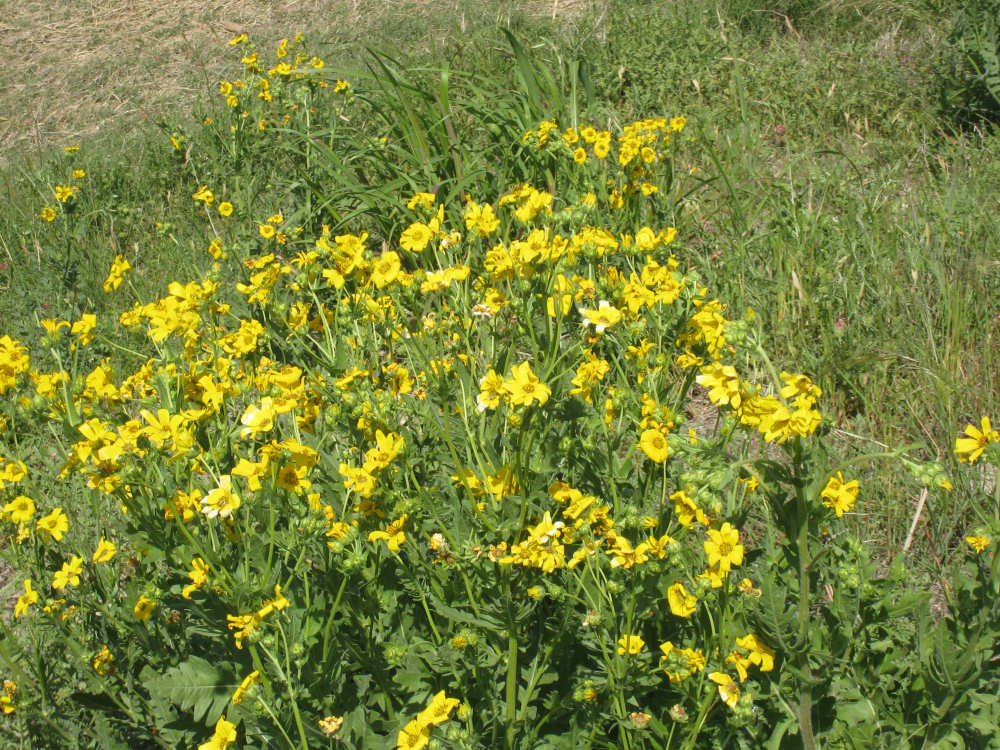
The terrain and plants along SR 334
|

Jan and Franz from Eindhoven, Holland
|
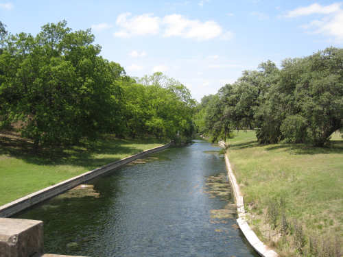
The West Prong of the Nueces River
|
A flowering cactus
|

Another small flower
|

Interesting buildings in Brackettville, TX
|

At the entrance to Fort Clark
|

An interesting legend
|
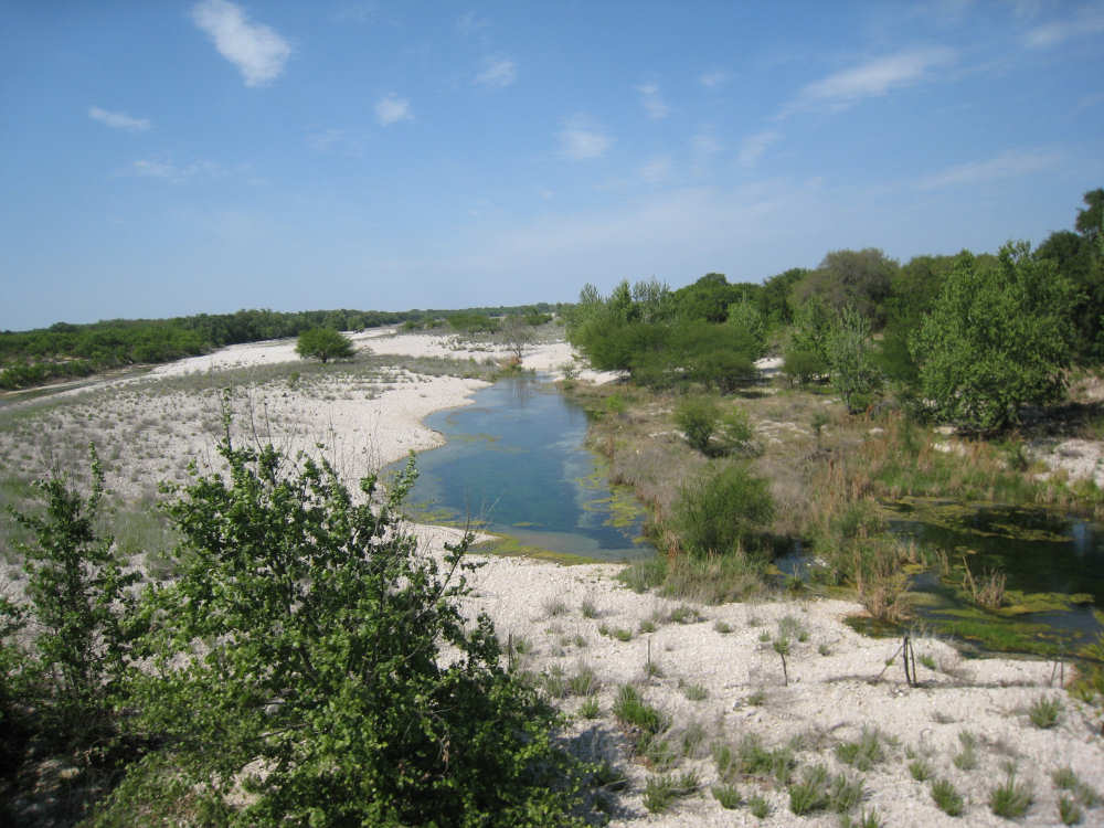
Las Moras Creek
|
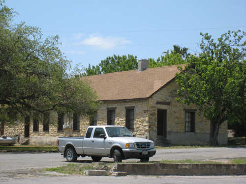
Renovated barracks at Fort Clark
|
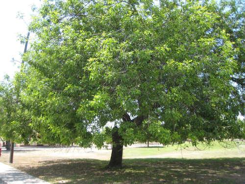
A pecan tree
|
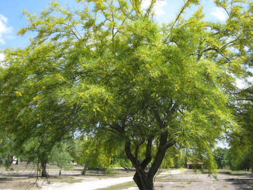
Flowering mesquite tree
|

A theater in Fort Clark
|

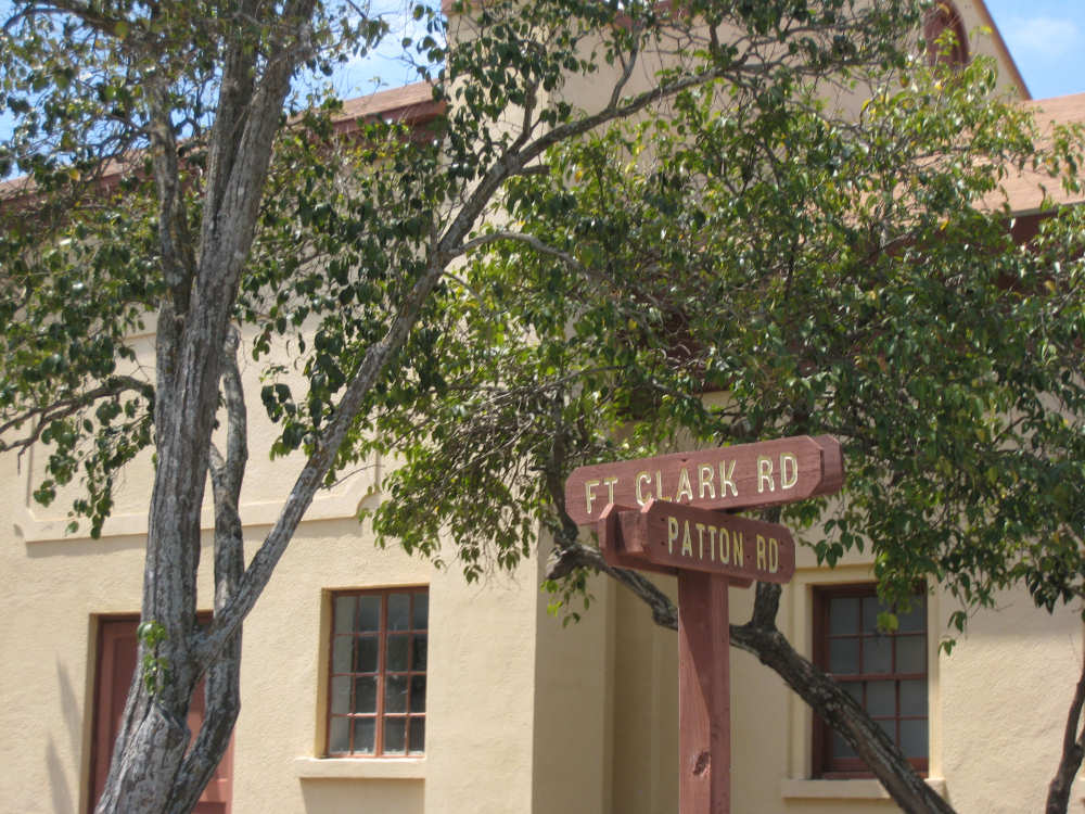
Patton found this street sign interesting
|
Hwy. 90 - long, wide, and cloudless
|
Terrain along Hwy. 90
|

A few trees offered shade along the road
|
Lots of these daisies were along the road
|

Another historical marker
|

A partially dry creek bed
|
Exit for the Air Force Base
|
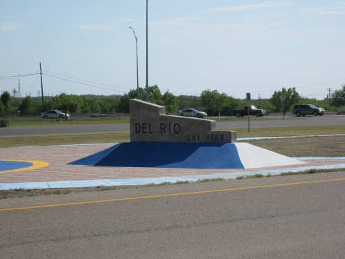
Entering Del Rio, TX
|