Saturday, July 12, 2008
Lincoln, MT to Augusta, MT
56 miles (5949 total miles)
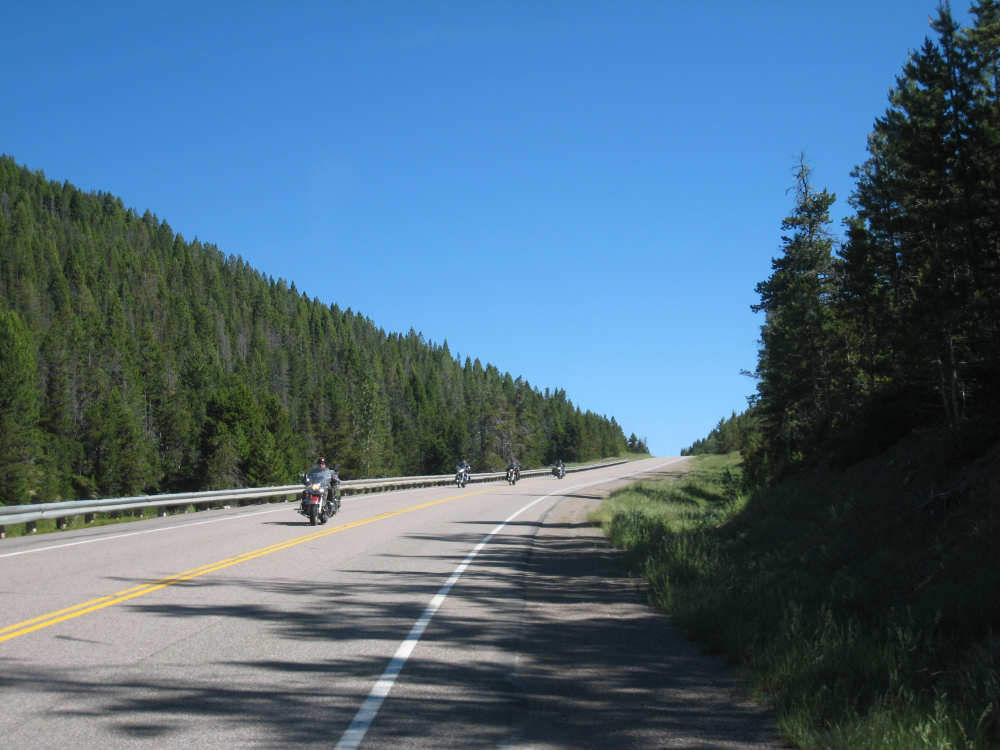
We left Lincoln this morning at 7:30 after breakfast in town. There were a dozen other people also eating there who were planning a tour of the area by plane, ending in Buffalo, Wyoming. It sounded like they would be flying in 2-seater planes and the tour was organized by 2 people in the group who were going over the details of the flight as well as their dinner and accommodations in Buffalo. Sounded like a fun trip. Our big achievement today was going over the Rockies and the Continental Divide on Route 200 at Rogers Pass, elevation 5610 feet. The climb up to the pass was very gradual and we thought we had gotten the worst of the day's climb over with early and without much difficulty. We were to be proved wrong, but more about that later. There were some interesting tidbits about Rogers Pass that we learned. One was that it was the location of the coldest temperature ever recorded in the continental United States. On January 20, 1954, a temperature of -70 degrees F (-57 Celsius) was recorded at a spot just below the pass. Between this pass and the Marias Pass 100 miles to the north, there are no other roads going across the Divide; the area between the passes is the consolidated Bob Marshall, Scapegoat and Great Bear wilderness area. The Lewis and Clark Pass, which Lewis used on his return trip, is about 5 miles north of Rogers Pass and has a road going up to the pass from the west but not crossing it.
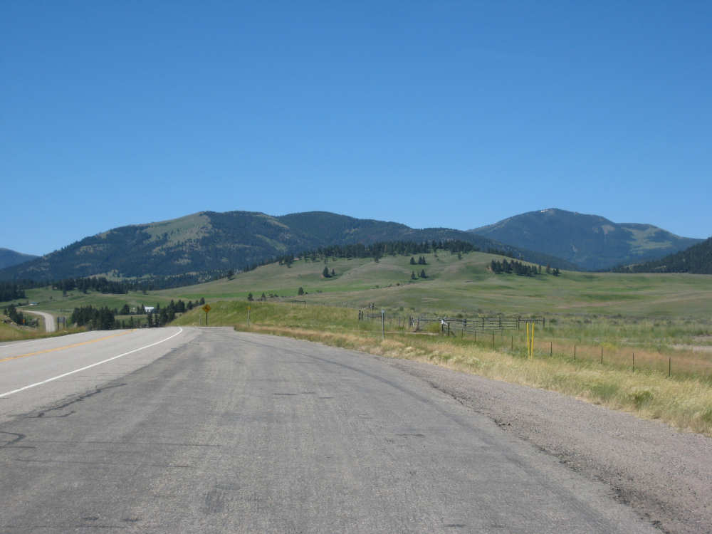
We stopped to eat some of the sandwiches we had packed while we were at the pass. We expected to come across only one restaurant today before our destination at Augusta, 56 miles away (and that one restaurant was closed when we got there, as it happened), so we had gotten some sandwiches and muffins for the trip when we were in Lincoln yesterday. After we crossed the pass, we flew down the other side at a much steeper grade than we had climbed. The views were terrific, so much so that we had to stop to take pictures - something we rarely do when we're moving quickly. The terrain was still evergreen-covered hills and mountains as we came down the steep part, but then changed pretty quickly into rolling hills with few trees. We had been in the Helena National Forest on the mountain side, but now we started coming into ranching area (one sign stated we were entering 'Prime Beef Country'!). The hills had grasses (many of them close-cropped), scrub bushes, and a few wildflowers. The rolling terrain with occasional ranch houses tucked down in the little valleys was beautiful to behold. We stopped at a 'wildlife viewing area', which was somewhat spoiled by also being a highway gravel storage area, but had a plaque about the eagle migration over the Rockies at the pass. Apparently, every spring hundreds of eagles can be seen taking advantage of the westerly winds over the mountains to migrate over to the Plains area for the summer, and then return during the fall. There was another plaque about the Nez Perce Road to the Buffalo trail, adjacent to Route 200 from Missoula to Lincoln, but then verring off northward to the Lewis and Clark Pass.
Our path through the rolling hills went over some surprisingly steep ones, much steeper than our climb to the pass, ironically. At least they were fairly short climbs. The real surprise of the day came when we got to the intersection of 200 and 287 (where the closed restaurant was). There was a group of motorcyclists parked in front of the restaurant and we stopped to ask them about the restaurant (apparently it's open when the owners feel like it). When we mentioned we were turning onto 287, they warned us that there was a lot of loose gravel on the road, or at least there had been a week ago. We saw a road construction sign soon after we turned onto the road that said it would be for 11 miles. We figured this is where the gravel would be and thought 11 miles of gravel would be horrendous. But the road was nice and smooth, so we thought maybe they were done? The road didn't look that new, but we went for the whole 11 miles without any sign of gravel. Then we saw another sign about road construction for the next 7 miles (we were only going to be on this road for a total of 18 miles to Augusta). Sure enough, we soon saw a stretch of rough road ahead. The surface was very gravelly at first and very tough to maneuver in but then had more hard-packed dirt/gravel and less loose gravel. It was rough and bumpy but at least we weren't as worried about losing our footing. Luckily there wasn't much traffic, and the cars that did pass us seemed very friendly and concerned for us. This went on for about 3 miles, with occasional rough areas when they detoured around bridge crossings for a few little creeks.
We finally reached Augusta, where 287 became a quiet little Main Street for the small town. We were encouraged to see several bar/cafes as we rode through town (we were pretty hungry and thirsty by then, having finished our stock of goodies and gone through the cold water in our camelbaks). Our motel, aptly named the Bunkhouse Inn, was like a little rooming house. The rooms were upstairs and tiny, with a bathroom at each end of the hall. The place was surprisingly full with groups of people who were there hiking or horse-back riding the trails into the wilderness areas. The owners are a lively couple who obviously enjoy meeting people and hearing their stories - the gent is a retired rodeo cowboy with a lot of interesting stories of his own. There is no cell phone coverage again but the motel does have wifi so we were able to put up our page for the day. We ended with almost 56-1/2 miles in almost 6 bike hours, arriving at our motel at 3:45.
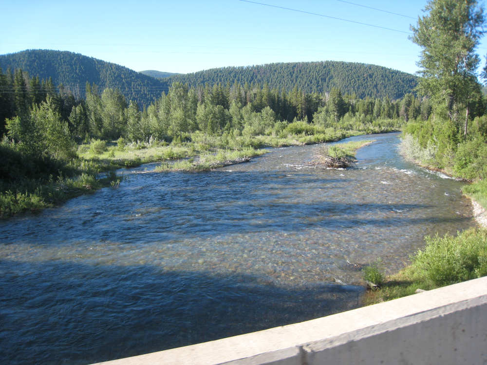
The Blackfoot River follows us for the first part of the day |
Looking back on our road as we gently climbed to the Divide |
Looking forward as the Rockies unfold before us |
Evergreens cover the mountains and the river area below |
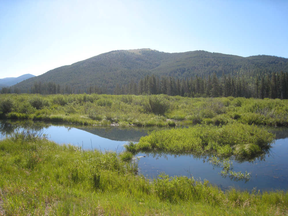
The river in a slow-moving, marshy area |
Another view of Rockies... |
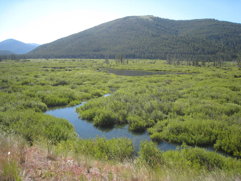
and the wetlands below |

An indication that it might be getting steeper - trucks have to put their snow chains on |
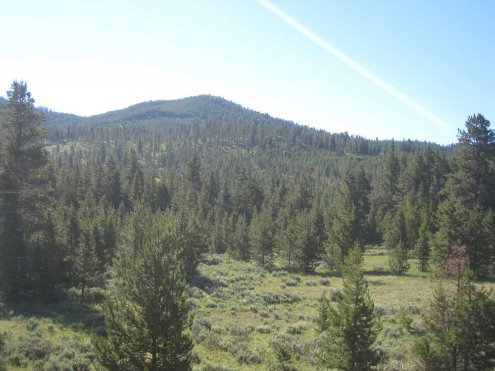
The Helena National Forest area |
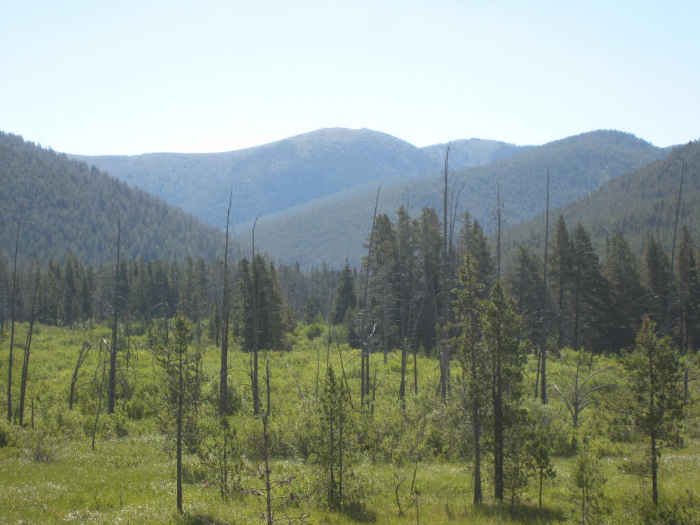
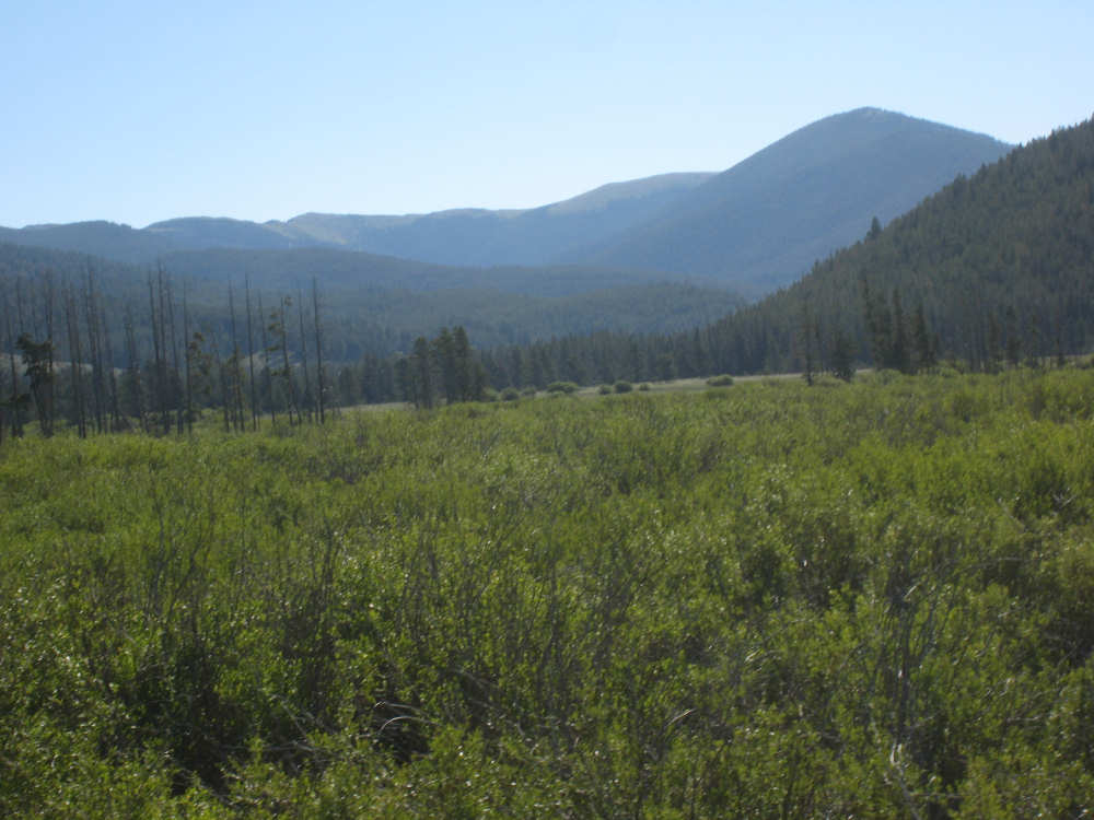
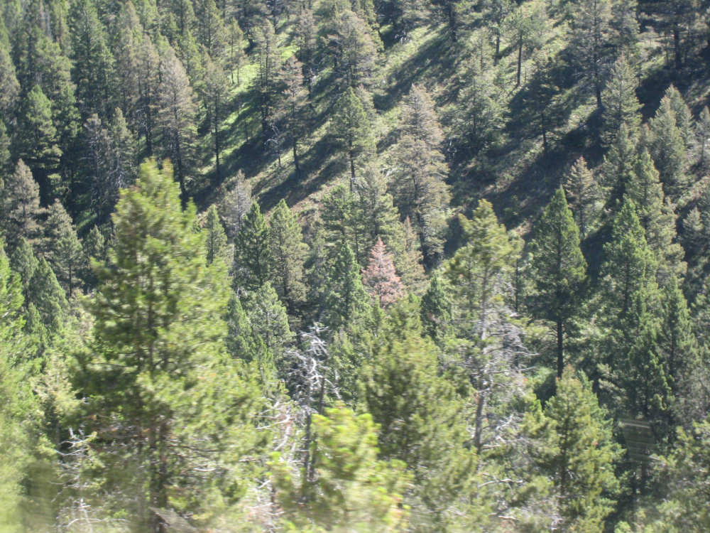
Foothills of the Rockies and a burned-out area of trees |
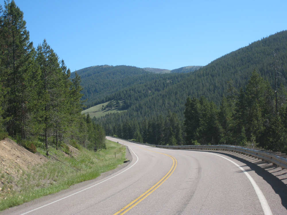
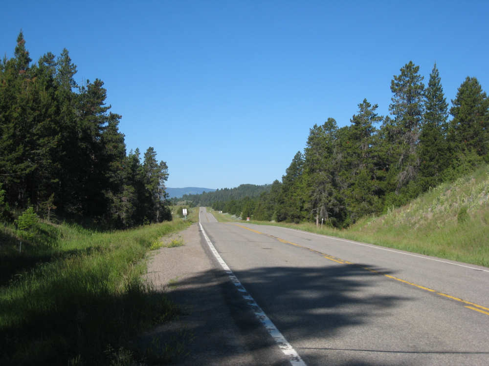
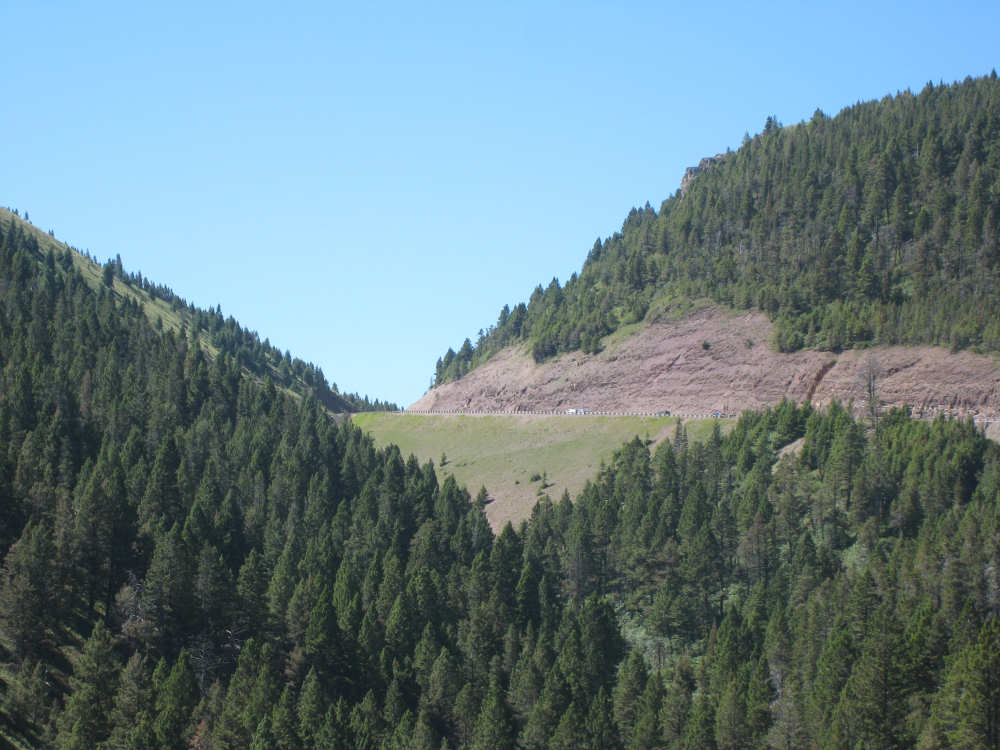
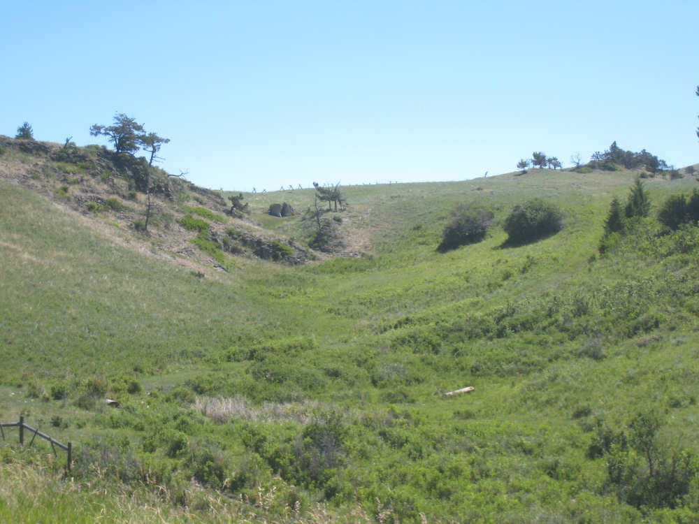
The road takes a dip through the hills |
Looking back on the road we climbed, one mile from the pass |
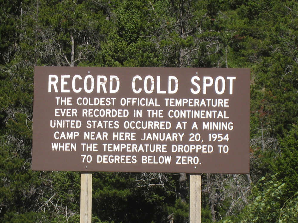
Here was the record cold spot just below the pass |
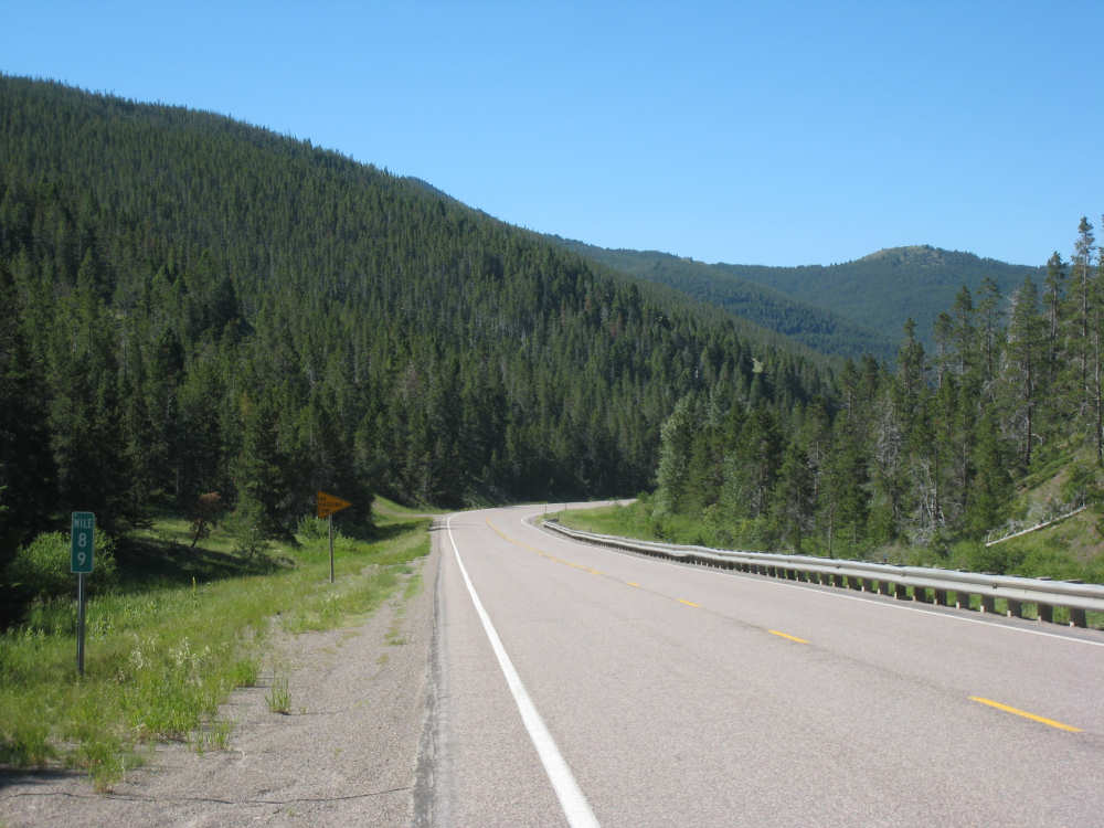
Almost to the top |
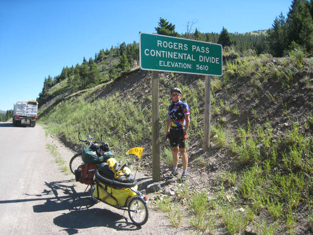
We made it! Pat and the bike pose at the sign |

Pat made me get my picture taken here too |
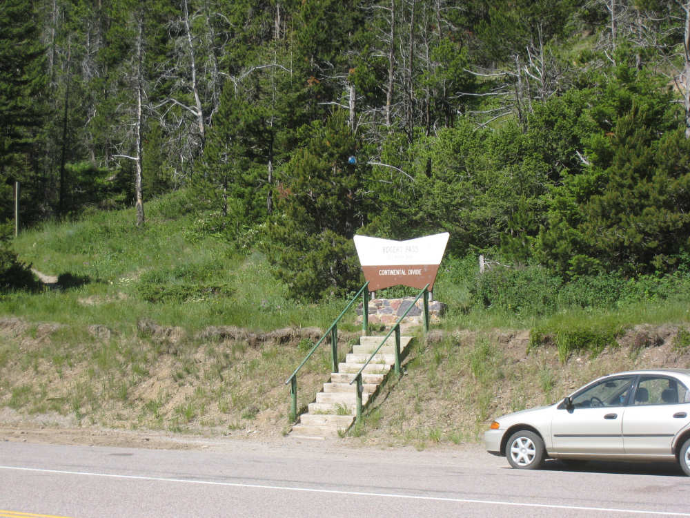
The Rogers Pass sign with steps going up to the Continental Divide trail |
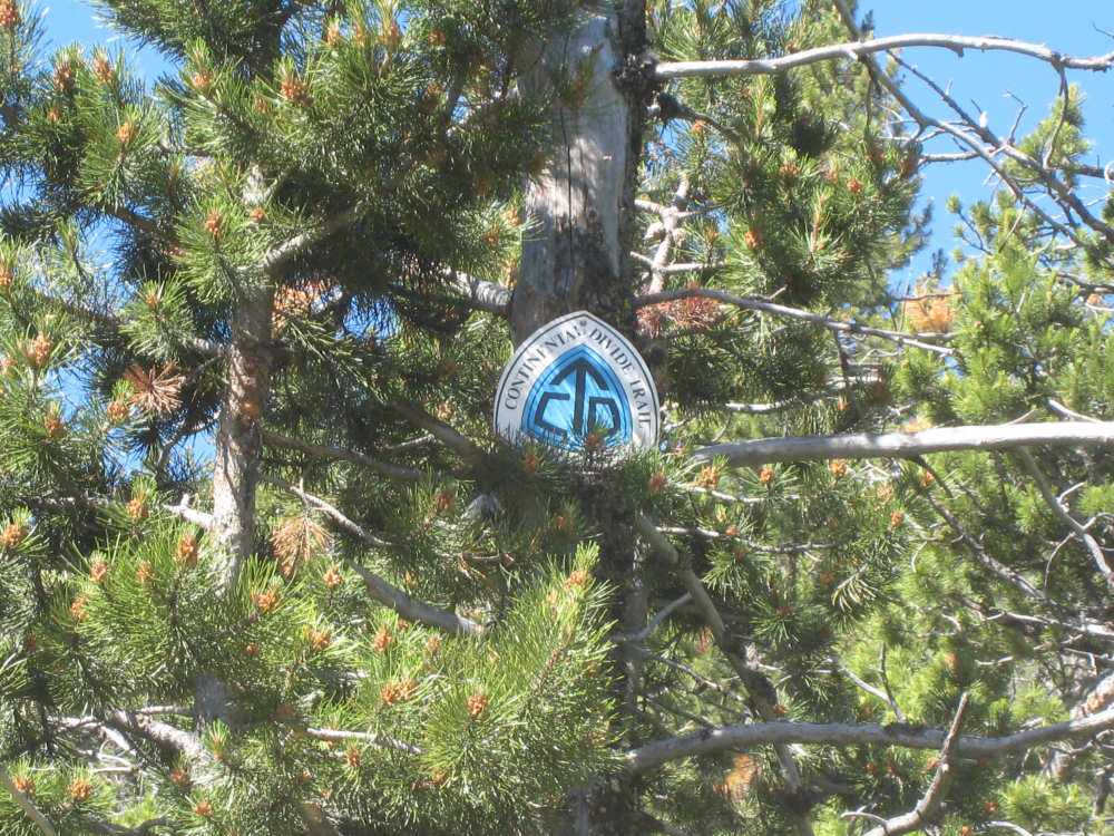
The Continental Divide Trail sign... |
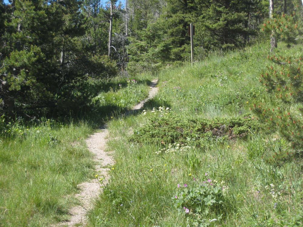
and the trail itself |
Looking back the way we came |

Looking ahead to the downhill |
On the way down, with a steep drop to the side |
Trees looking very small below us |
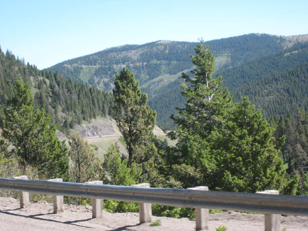
Looking up to the road we were just on |
A mountain sweeps down to just below us |
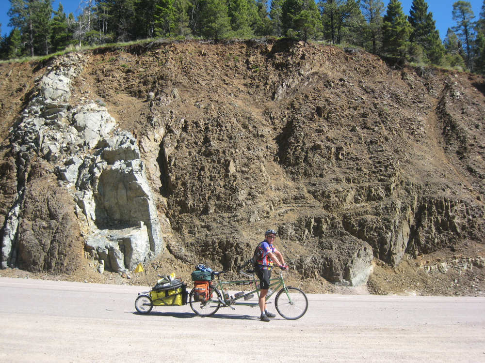
Pat waits in front of a cliff - part hard rock, part softer dirt |

Mountains in layers in front of us |
Getting near the edge of the forest |
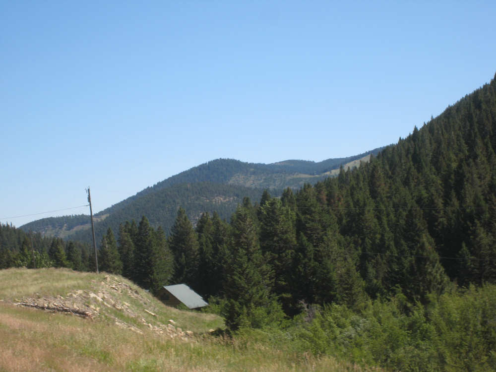
In a less steep area, a log cabin nestles in the foot of a hill |
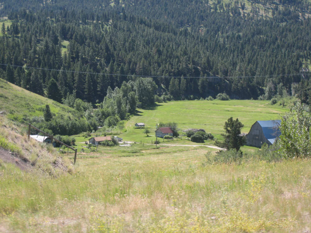
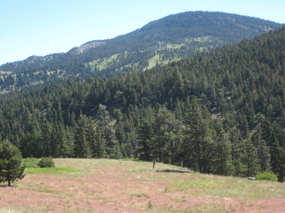
Ranches start to appear in clearings |
Trees are much rarer now and ranches take over the hills |
|
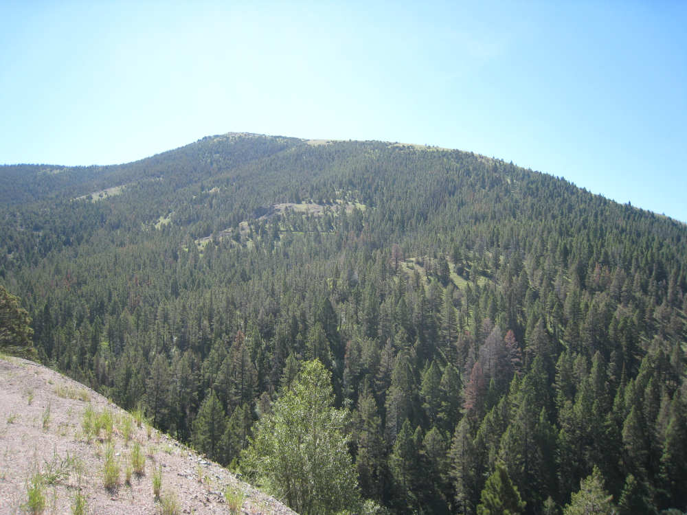
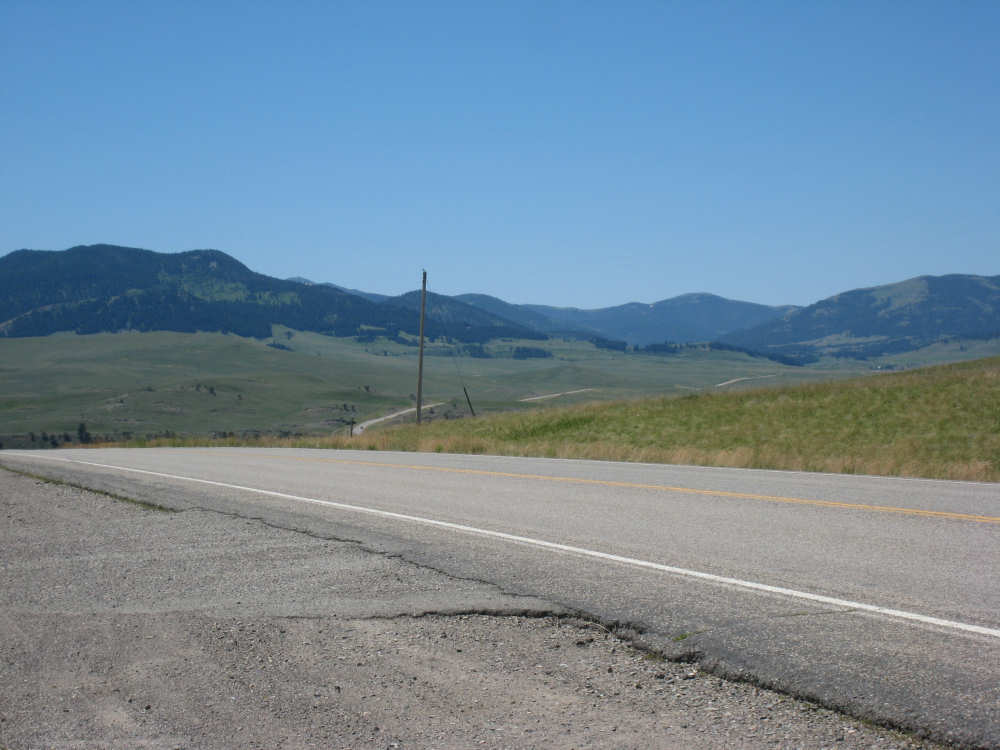
The Rockies behind us |
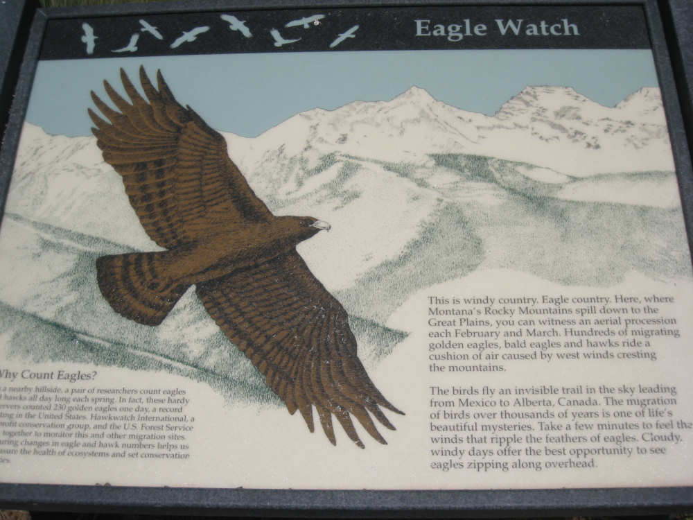
The eagle plaque in the viewing area |
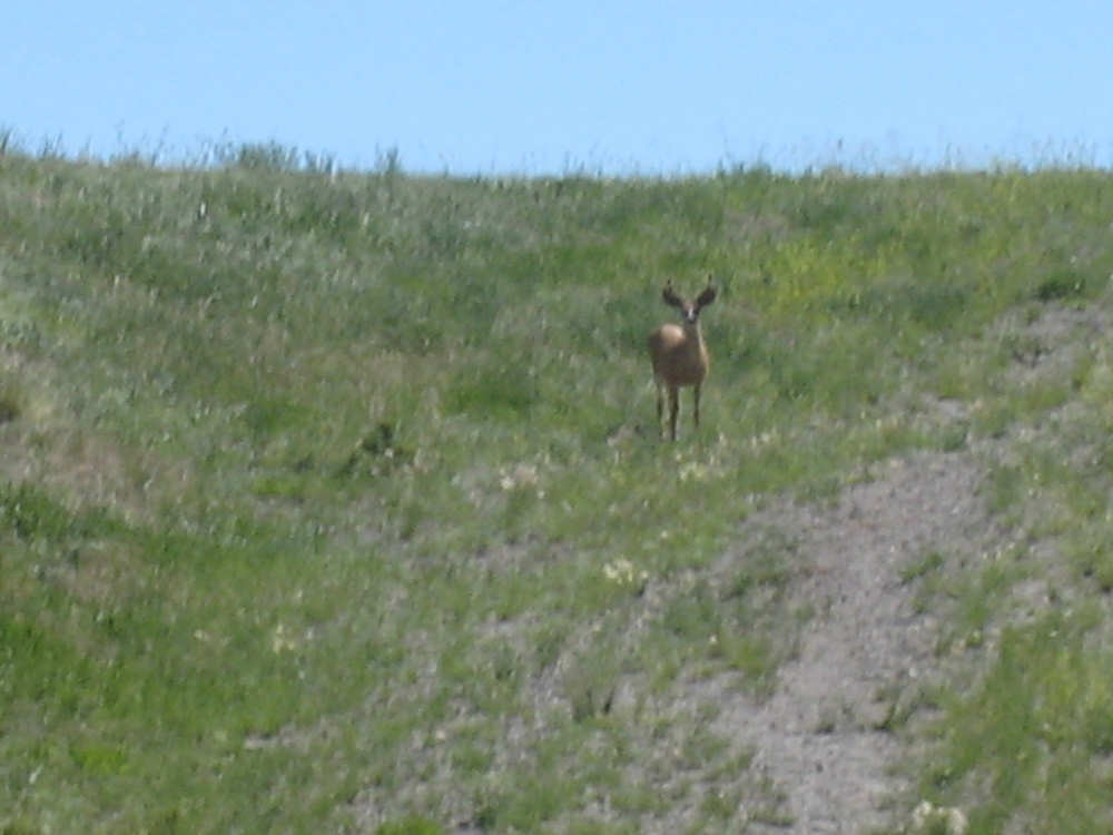
A deer watches us from a hillside |
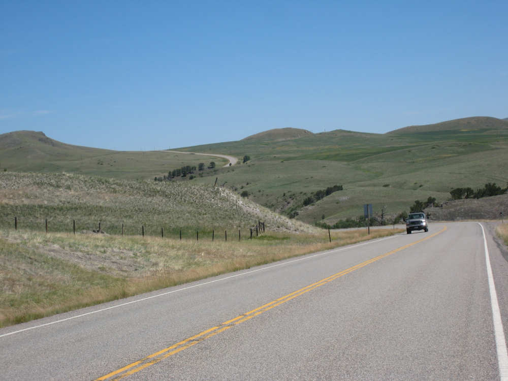
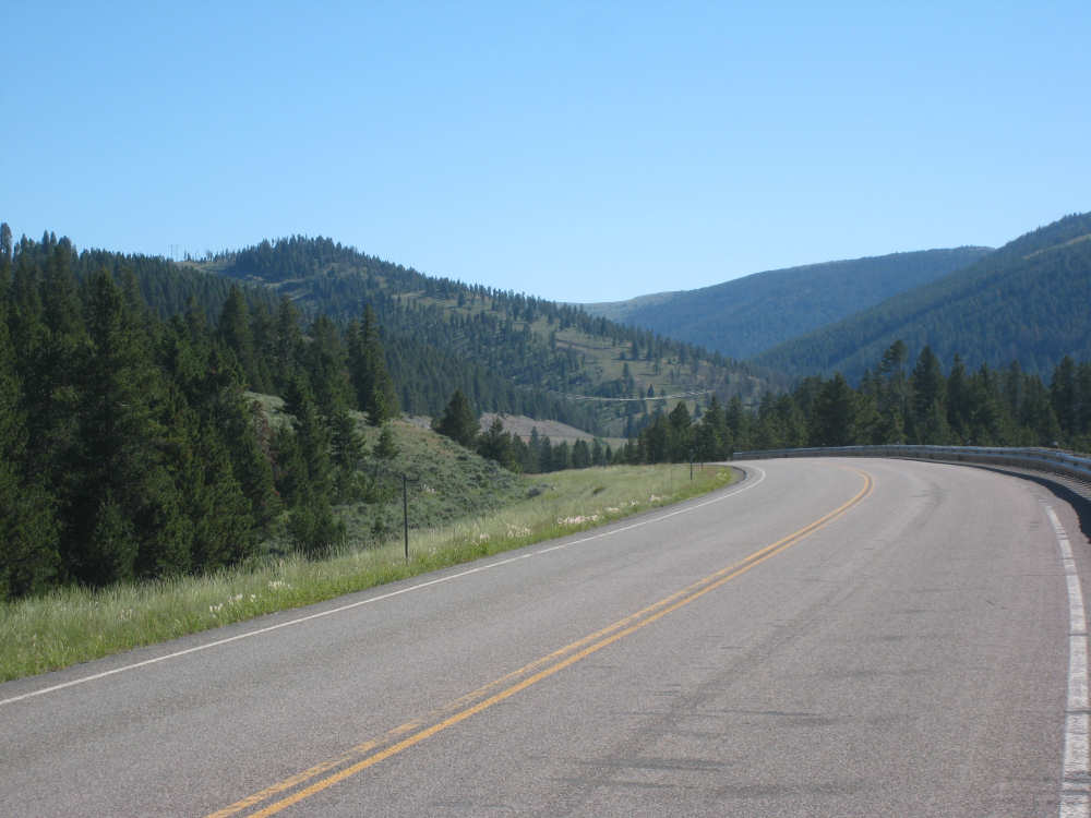
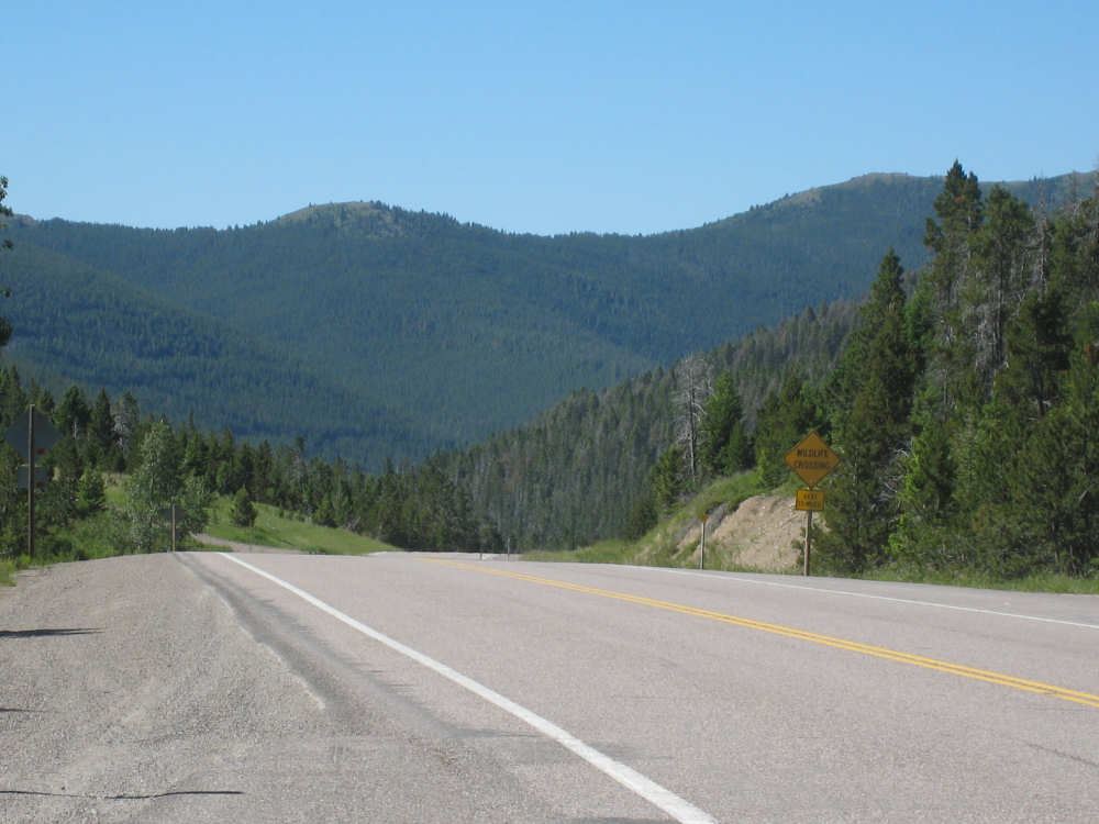
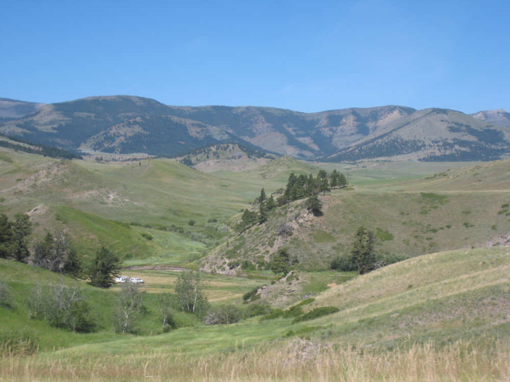
The road takes some unexpected turns and rises |
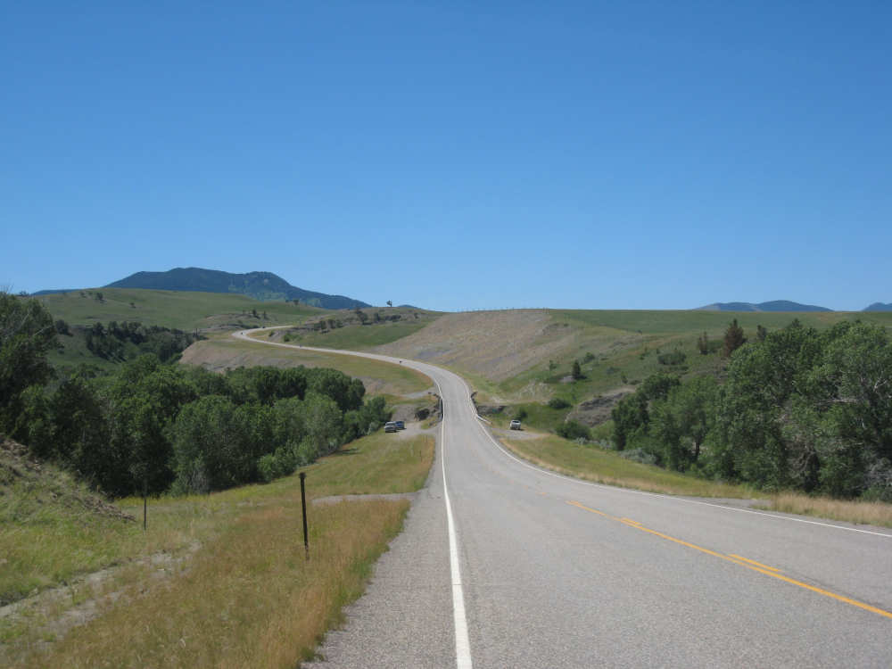
Looking back, partway up that climb |
At the top of the hill, looking back on the ribbons of road we just covered |

And looking ahead - what? another one?! |

Cows scattered over the plain |

A little lake |

Ranch builings behind fields of hay |

The rough surface on 287 just before Augusta |

A long stretch of rough road ahead |