Saturday, June 21, 2008
Lincoln City, OR to Tillamook, OR
47 miles (5046 total miles)
OK, today we hit 5,000 miles. We left our motel around 7 and had breakfast at a restaurant up the street. Then, shortly after we left, we saw two guys with bikes who had stopped by the side of the road. We swung over to ask them to take our picture and they graciously agreed. They were biking from Vancouver down to San Diego - one of them was from Boston and the other from St. Louis. We got a nice picture of them as well. Then we went on our separate ways. Today was cloudy but not foggy and a little warmer than yesterday, a nice temperature for biking. We had 2 big hills to get over, one just 5 miles into the day and the other near the end. The first one was supposed to have been the harder one, at least it was a taller hill, but for some reason (we were more tired? the road was rougher? the maps lied?), the second seemed harder. They were both over 2 miles long and moderately steep. We deviated slightly from the Adventure Cycling maps again today; we were on 101 for the first 20 miles and then were on back roads for the remainder except for a short stretch on 131 which was a nicely paved road. Our route took us through some pretty countryside, some forests, some pastures, across a few rivers and creeks, and past a large bay. We left Lincoln City in a mile or two and crossed the Salmon River just before we started up our first hill. The road up the hill was lined with trees, mostly evergreens of some sort or another, but some lovely birches at one point. A lot of the trees were moss-covered; everything was quite lush and verdant. We came down from the hill and quickly passed through the little town of Neskowin and then the even littler town of Oretown (pop. 25!) and crossed the Little Nestucca River. Soon after that, we stuck to the AC maps and turned off 101 onto a (ouch!) scenic road. We had some misgivings about the choice, especially when we saw how rough the road was, but this road went by the ocean and 101 went a good bit inland, so we opted for ocean views. The traffic was undoubtedly better on the scenic road, too - no trucks, and only very considerate vacationers who mostly drove very slowly.
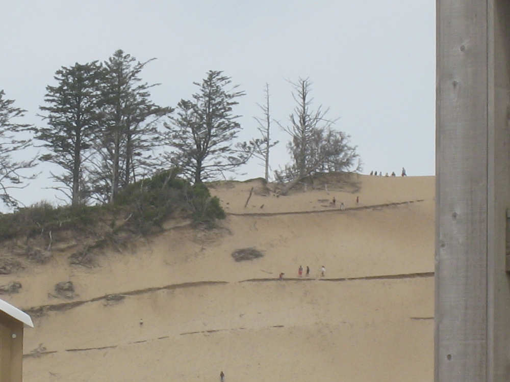
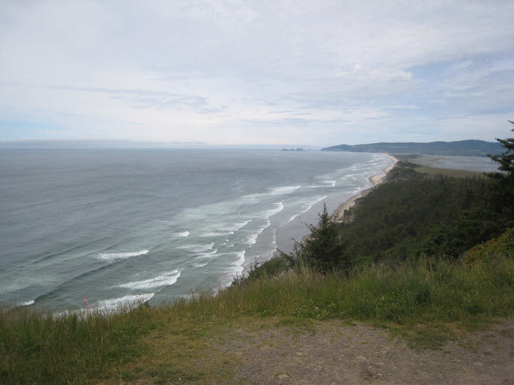
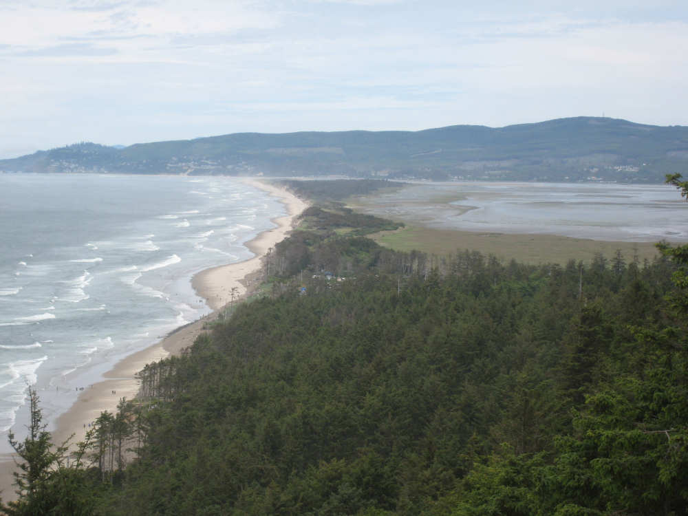
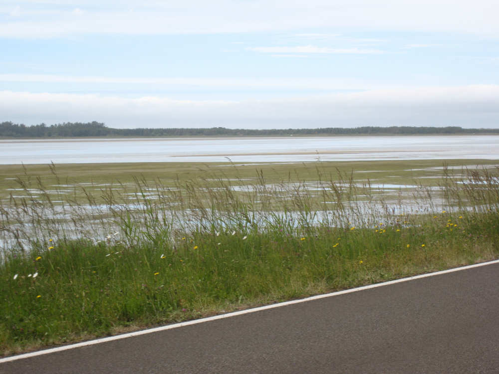
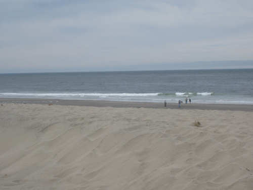
We soon went through the small town of Pacific City, where we thought we'd stop for a snack but didn't see a suitable place open. We did see a very large rock ahead in the ocean, but then turned a corner and didn't see it anymore. A little while further, though, we came to the Cape Kiwanda State Park and a little community called Dory Point (not even on our map) and there was a cafe and the rock! We stopped for some Tillamook ice cream which has quite a following in this area - and it was very good - and took some pictures of the rock, apparently called the Hay Stack, and the sandy beach it was on. There were surfers in the water and lots of people walking on the beach; there was also a very tall sandy hill near the beach with several people way near the top of it. After this, we meandered along the ocean, going up and down a few minor hills, past the town of Sand Lake (also pop. 25?!) and then turned onto Cape Lookout Road, where we started climbing hill #2. This hill started out as wooded as the first one but there was a long stretch where the hills were large sand dunes. There was one big area where ATVs were allowed and we heard them buzzing for miles later. As we started to come down the hill finally, we were passed by a big group of motorcycles who had their left blinkers on, which I thought was strange given there was quite a big drop on that side. But they knew what they were doing and soon pulled off onto a little viewing area with a terrific view of the ocean and Netarts Bay below. We decided to stop there, too, and take some pictures. We could see lots of people down on the beach, many of them wading in the water, which we haven't seen much of along the Pacific coast. We came down to sea level, with the bay between us and the ocean and took a little cut-off which had us miss the town of Netarts and get to Hwy. 131 sooner. It was nice to get to a better paved road finally.
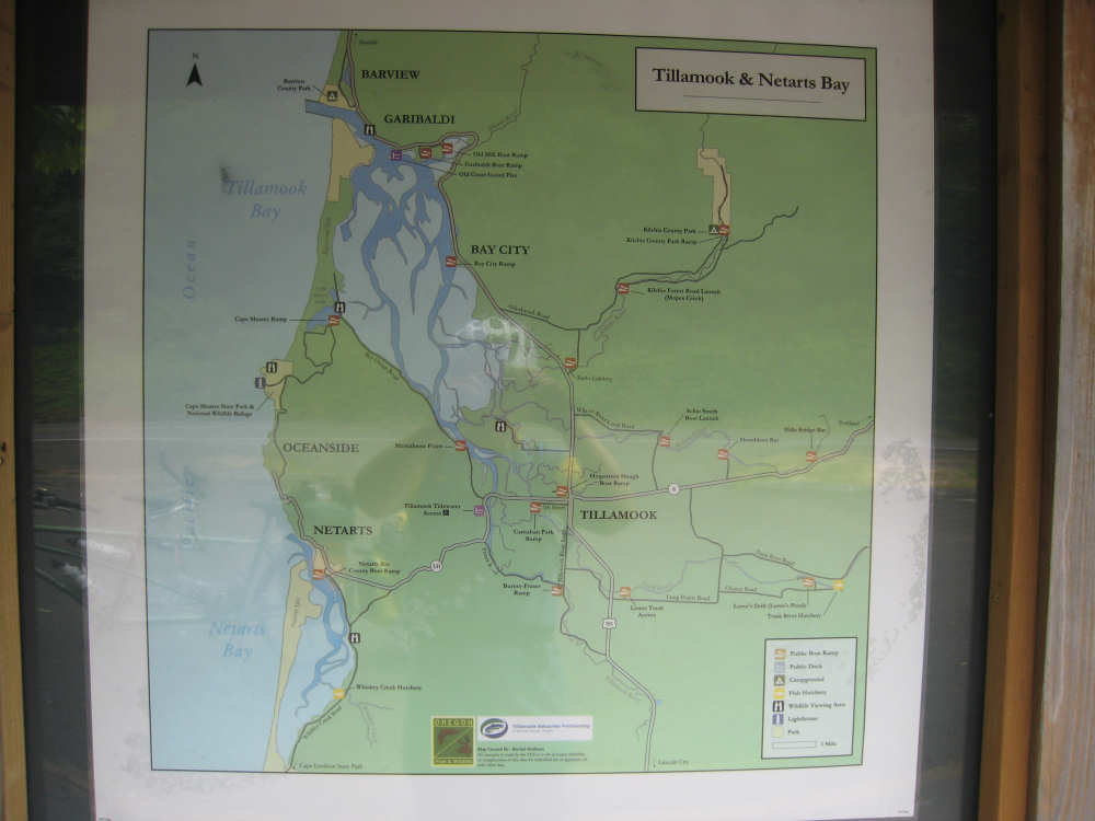
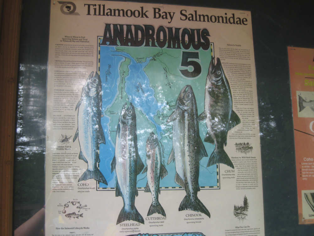
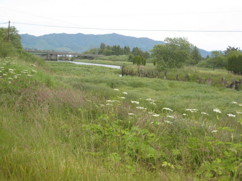
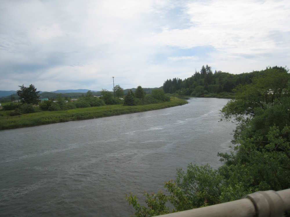
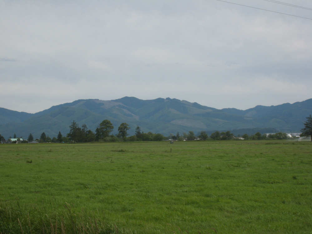
From the turn-off, it was only a few more miles to the town of Tillamook, our evening's destination. We passed by a kiosk near the Tillamook River and stopped to use the bathrooms there. We got pictures of the Tillamook/Netarts Bay area map and of the 5 types of salmon found in the area (Coho, Steelhead, Cutthroat, Chinook, and Chum). The pictures aren't that great because of the glare but we included them for what they're worth. We passed the Tillamook River and some pastures framed by some very high mountains in the background (looking kind of Swiss-Alpsy, I thought), and then came into Tillamook and found our motel. Another big group of bicyclists traveling south (naturally) and supported by a van (of course, doesn't everybody?) came at almost the same time (3 pm, again!), but luckily we slipped in first and got to our room pretty quickly. We ended at 47 miles in just under 5 hours of bike time, not as good as yesterday, as expected.
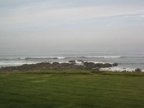
Our motel ocean view, at low tide this morning
|
Flocks of birds flying low over the ocean
|
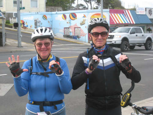
Our 5,000 mark (Pat did better, didn't he?)
|
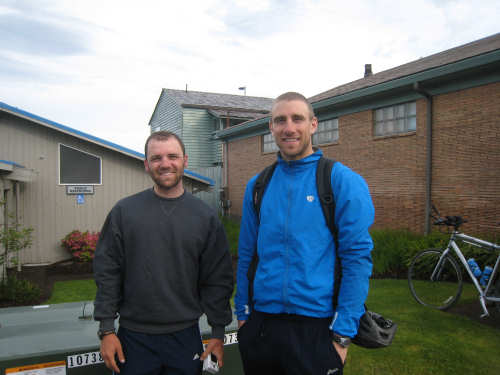
The friendly bikers who took our picture
|
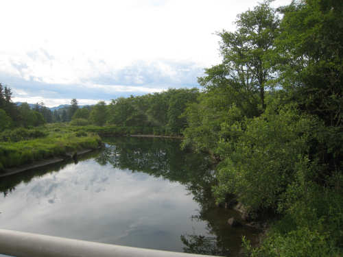
The Salmon River
|
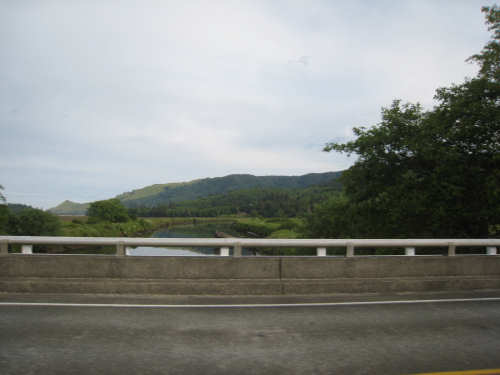
The Salmon on the other side of the bridge
|
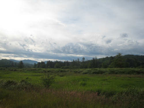
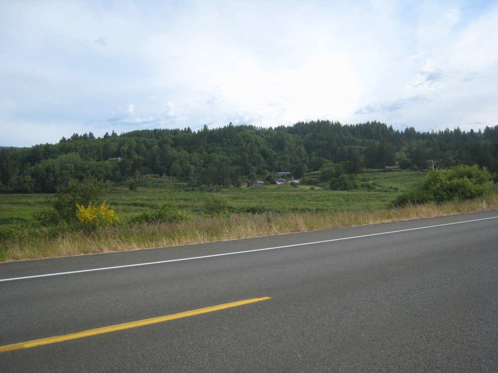
The countryside along 101 before the first hill
|
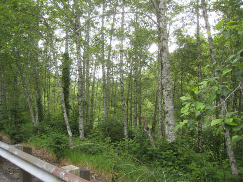
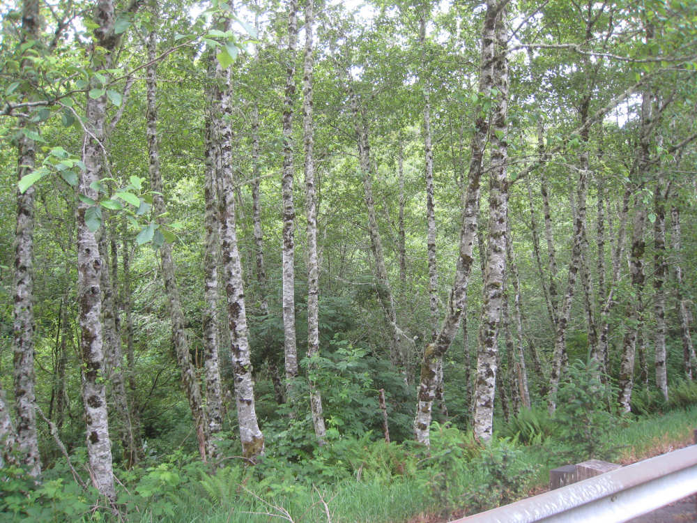
Birch trees up on the hill
|
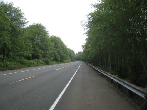
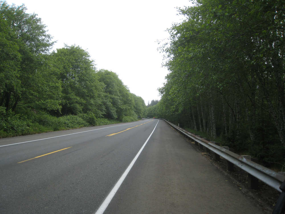
A road shot on the 101 hill
|
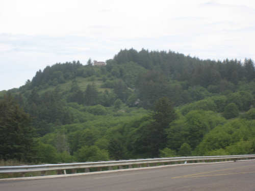
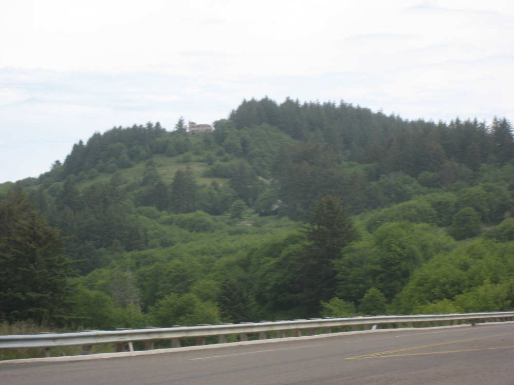
Big house way up on a hill
|
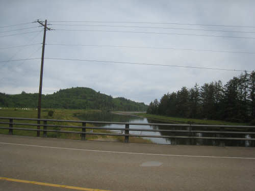
The Little Nestucca River, down from the hill
|
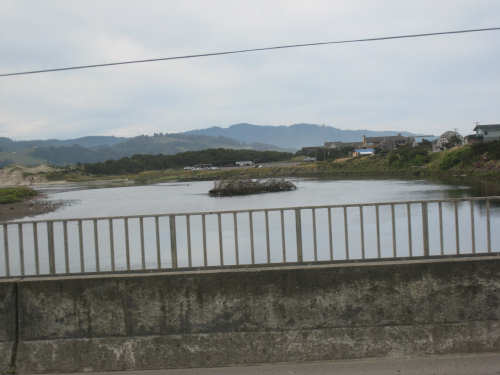
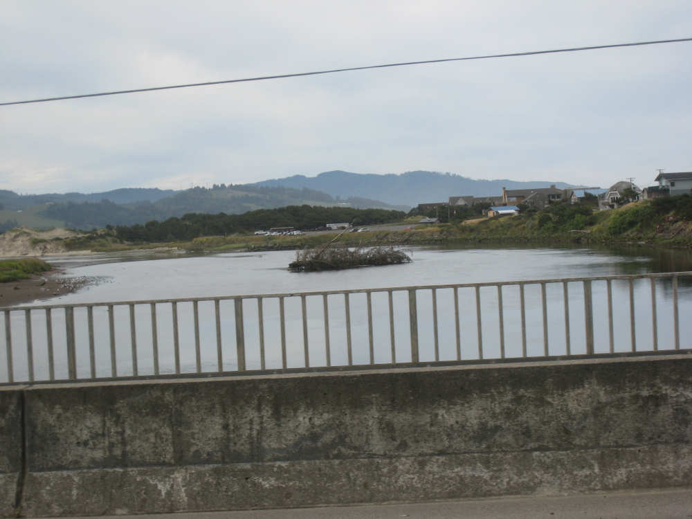
Nestucca Bay
|
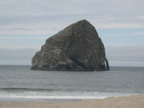
The Hay Stack at Dory Point
|
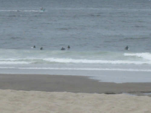
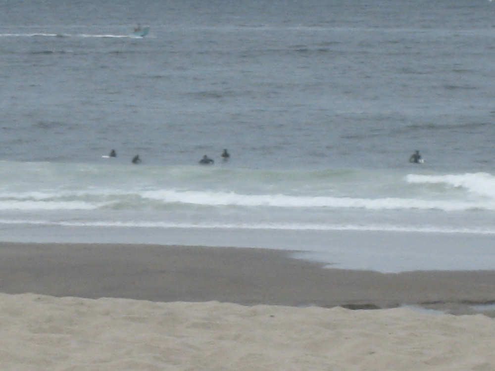
Surfers at Dory Point
|
The Dory Point beach
|

The Dory Point sand dune
|
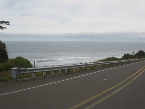
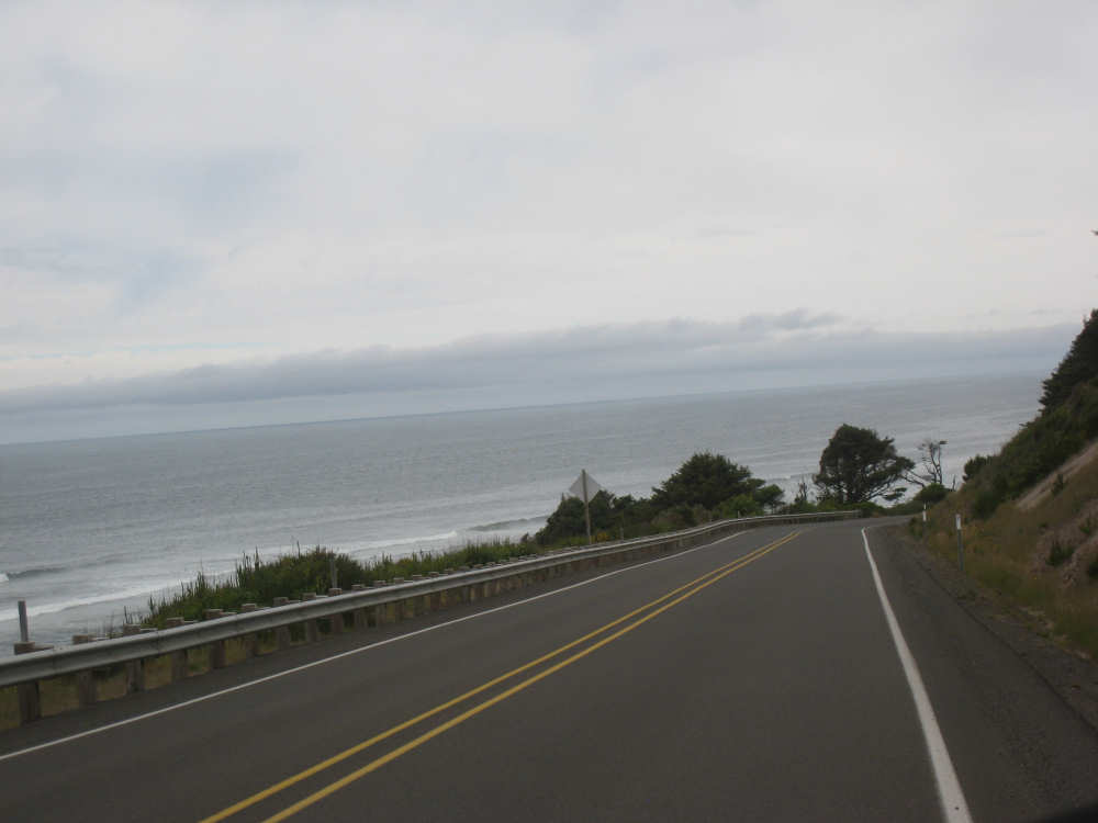
Ocean from our scenic road, past Cape Kiwanda
|
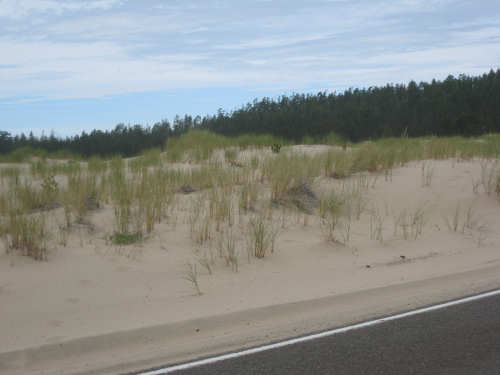
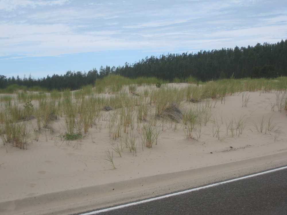
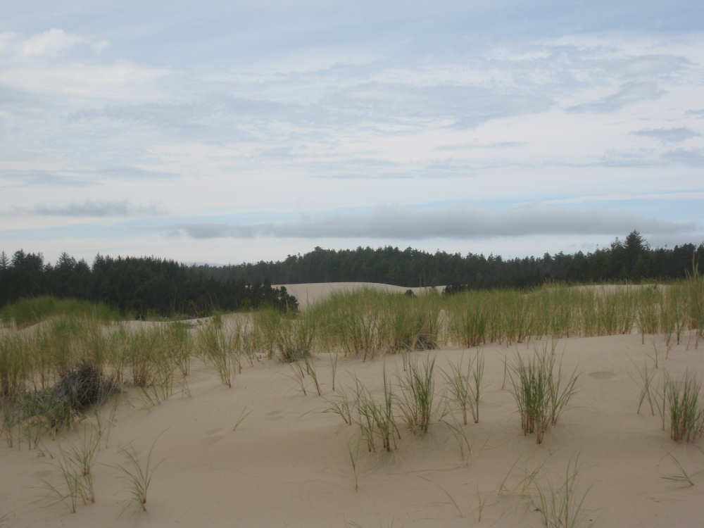
Sand dunes on our second hill, past Sand Lake
|
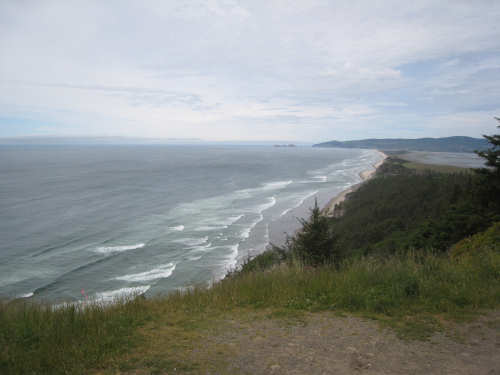
The ocean from Cape Lookout, coming down from the hill
|
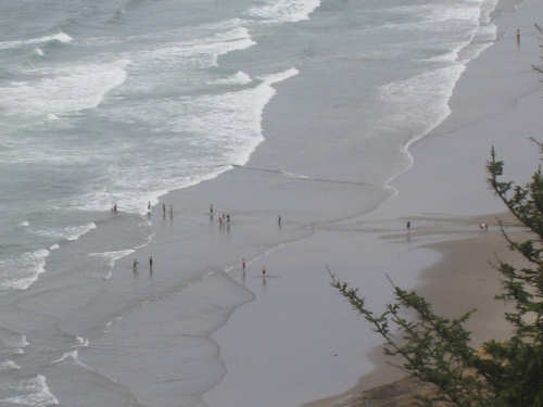
People in the ocean below
|

The ocean with a better view of Netarts Bay (to the right)
|
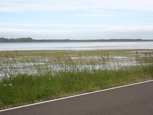
Netarts Bay at sea level
|
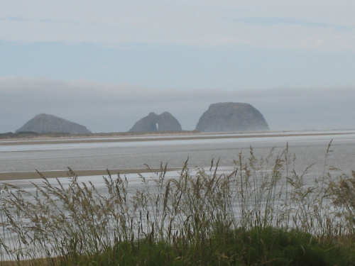
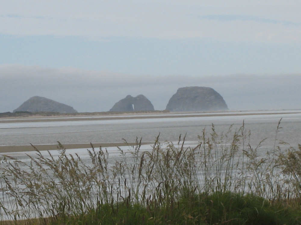
Three rocks in the bay, one with a channel through it
|
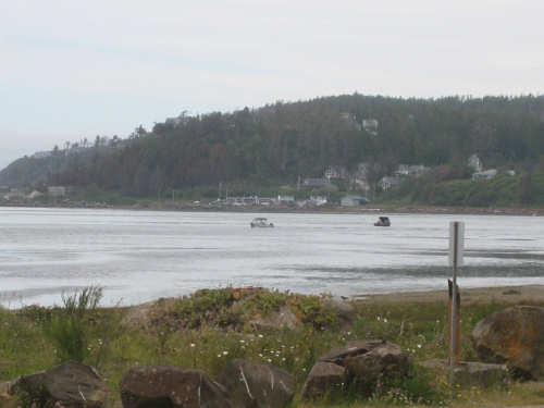
Fishing boats in the bay, with the town of Netarts behind
|
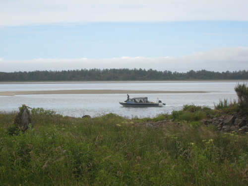
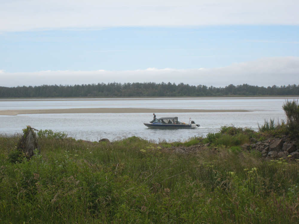
Someone walking around on his boat in the bay
|
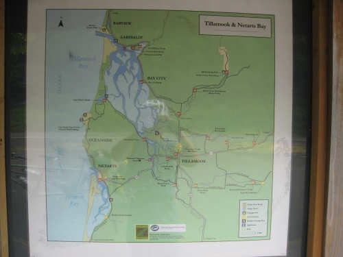
Pictures of the Tillamook/Netarts area...
|

and the local salmon
|

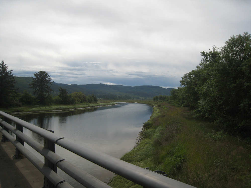
Tillamook River, before the bend
|

Crossing the Tillamook River
|
The Trask River, an off-shoot of the Tillamook
|

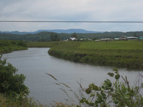
The view coming into Tillamook
|

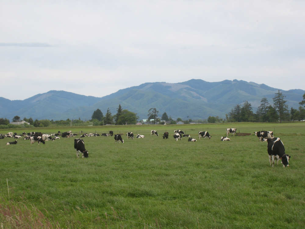
Contented cows at a local dairy
|