Monday, March 17, 2008
Saluda, SC to Washington, GA
63 miles (803 total miles)
Day 13 - a high-energy day. We started by having our favorite pancakes & sausage breakfast at the restaurant next to our motel, instead of having it 15 miles out or so, since it didn't look like we'd have any places to eat before McCormick, SC, 30 miles away. So, we were charged up from the start. It felt chilly but was bright and sunny, and we even had - woo-hoo! - a TAIL wind! The luck of the Irish must have been with us; I don't think we've had a tail wind since Delaware. The hills weren't bad most of the way either so we were really cruising. We ended up doing 63 miles in less than 5 hours and 40 minutes, our best average yet.
Coming out of Saluda, we saw lots of fields full of curious cows (most of them stared at us as we went by). Some farms had long-horn steers, which surprised us; I thought they were only in the western states. Then it got woodsy again, some wild, some farmed. Alan, our friend in Columbia, explained the logging operation: 10 years after trees are planted, they get thinned and the logs are used primarily for paper pulp. After 20 years, they're thinned again, this time used for wood. After 30 years, the trees are clear-cut, the area is bull-dozed and tilled, and seedlings are planted in neat rows for the next rotation. We saw some storm damage along the road - a few trees were uprooted, some were broken in half, and one house had some damage either from the storm itself or the trees that fell around it. There had been tornadoes and bad storms in the area as recently as yesterday.
There were also lots of boats for sale and some marinas along the route. There was a large development called Savannah Lakes, which must have been related to the Savannah River a little further down. Lincoln County, right over the Georgia border, had a welcome sign priding itself for its "freshwater coast". We were passed by several pickups with boats in tow. We came upon the Savannah River itself after about 40 miles. It looked to be a lake at first, it was so wide where we crossed it. The Georgia border was just on the other side - our eighth state!
The scenery didn't change much in GA, except that there were more stately houses and fewer run-down buildings, but there were still some of both. We saw several little streams in both states, but they had the unfortunate habit of always being at the bottom of a hill we were about to climb, so we never felt like stopping to get a picture of one. Tomorrow, we have a short hop (40-some miles) to Athens, GA; it's supposed to be cloudy but no rain. Wednesday, we hope to get to Atlanta in another 50-some miles, before another bad storm hits. Atlanta was hit hard by a tornado a few days ago and more bad weather is supposed to come this week.
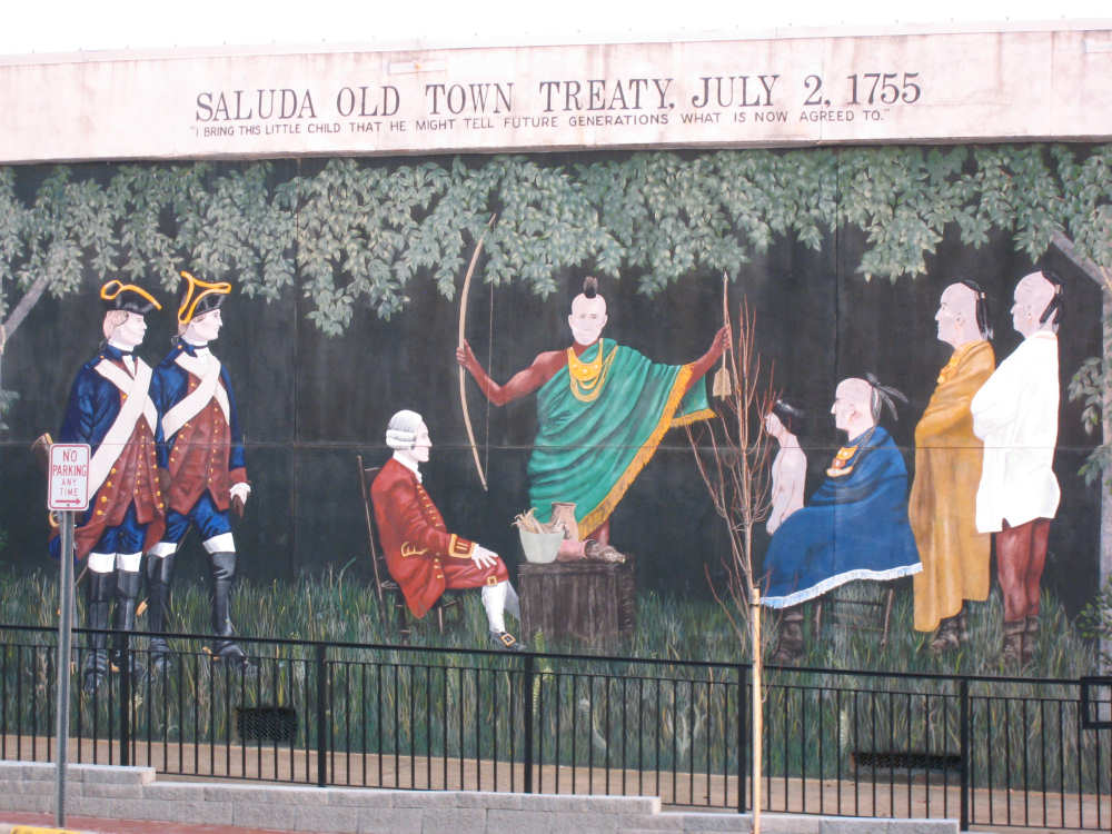
A mural in downtown Saluda, SC |
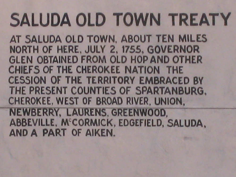
Description of the treaty depicted in the mural |
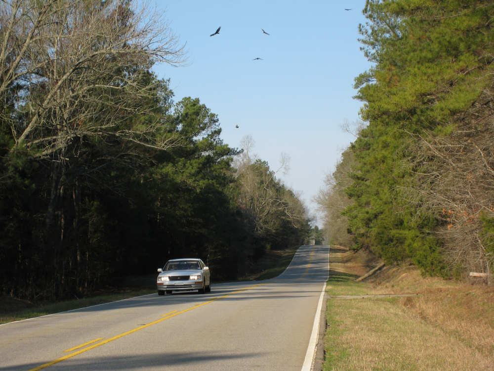
A bumper crop of hawks circling above |
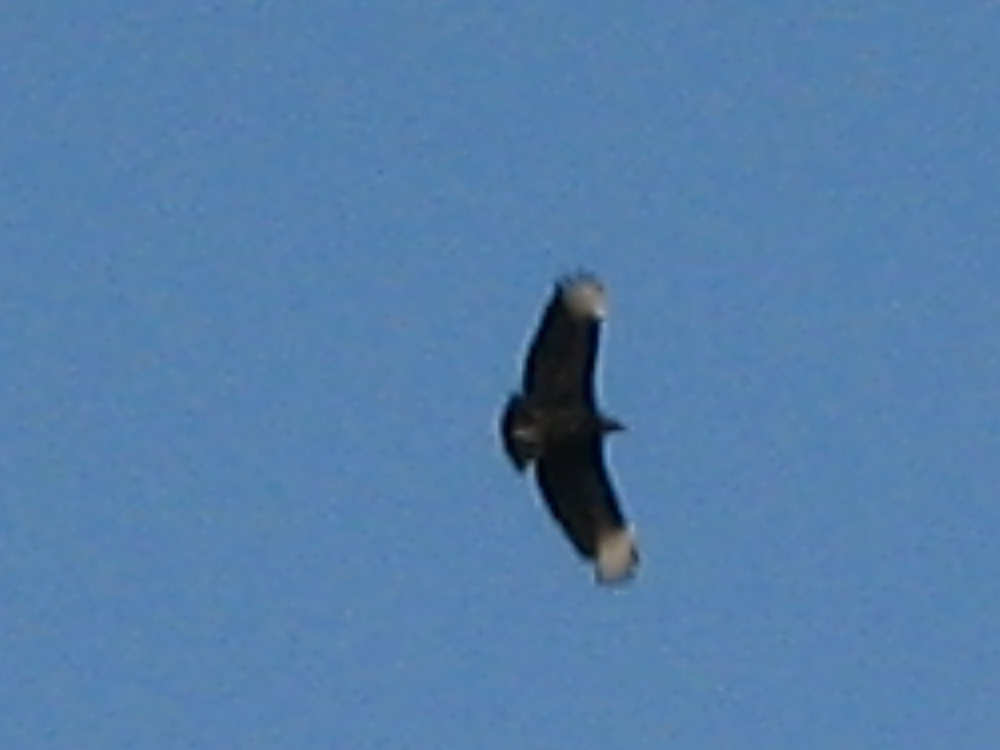
Close-up of one of the hawks |
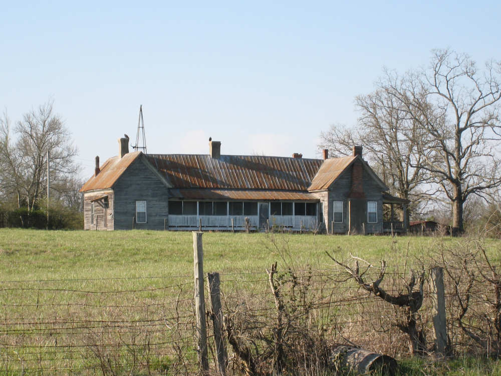
A farmhouse west of Saluda |
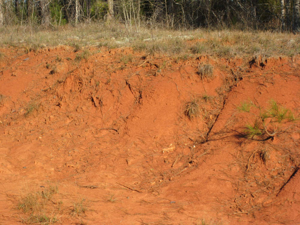
Red dirt along the road |
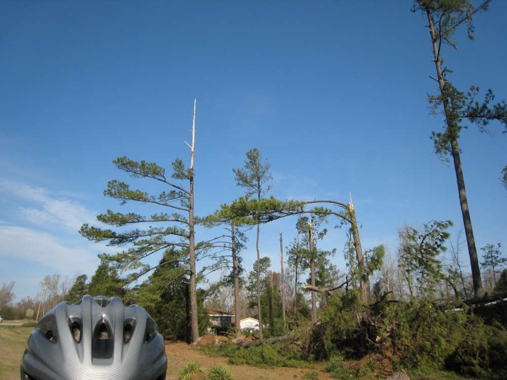
Recent storm damage - trees snapped in half |
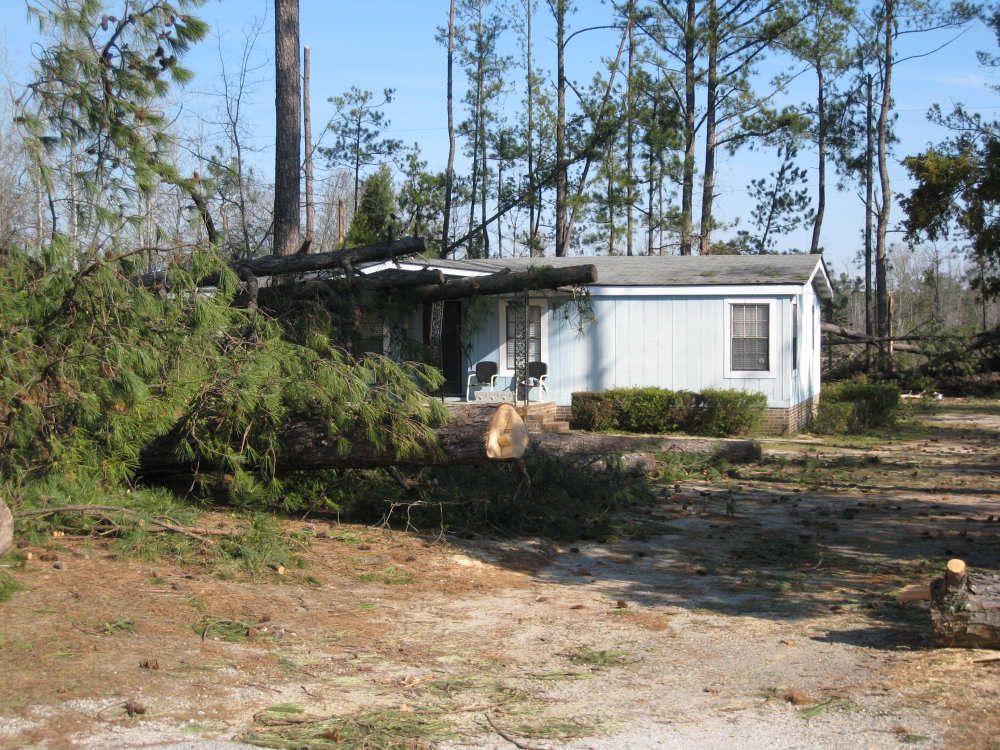
A house with trees down all around it - damage to the roof and front porch |
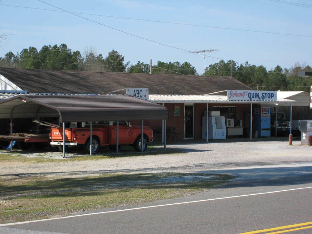
A rare stopping place along the route |
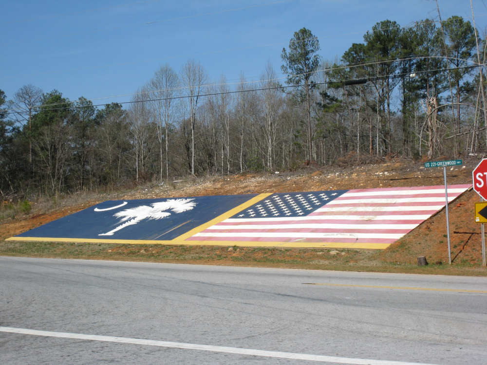
The South Carolina and American flags painted next to the road in McCormick, SC |
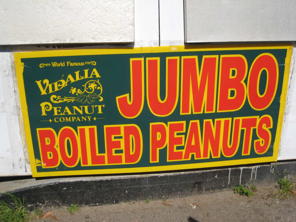
Getting close to peanut country (Georgia) |
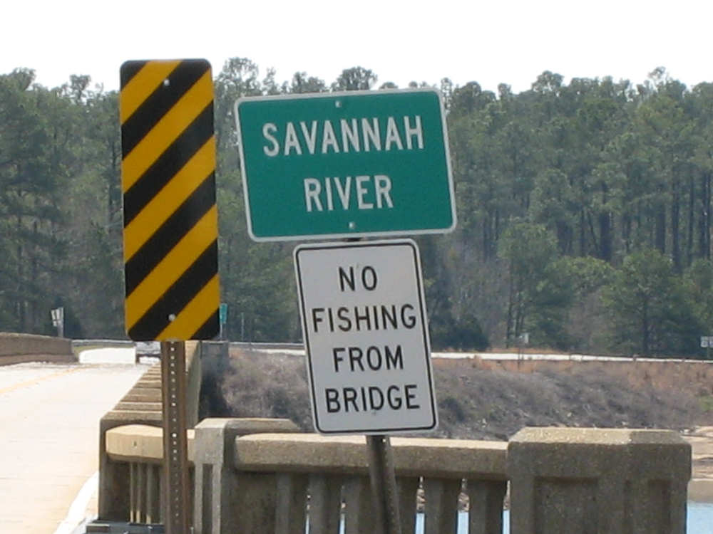
Coming to the vast Savannah River, border between SC and GA |
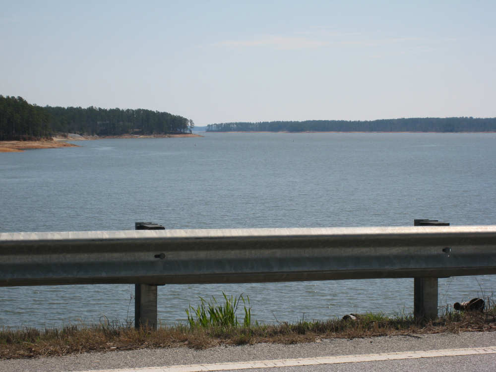
Downstream Savannah |
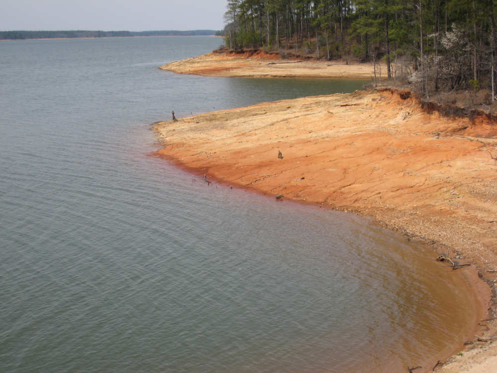
A cove on the upstream side |
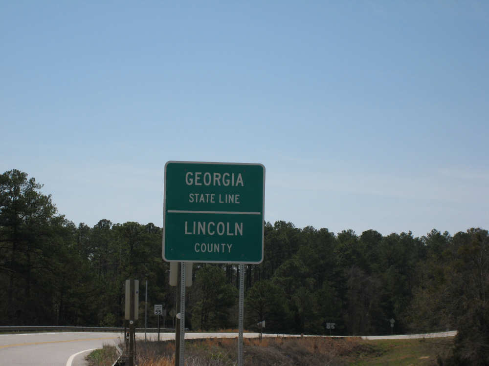
The Georgia state line on the far side of the bridge |
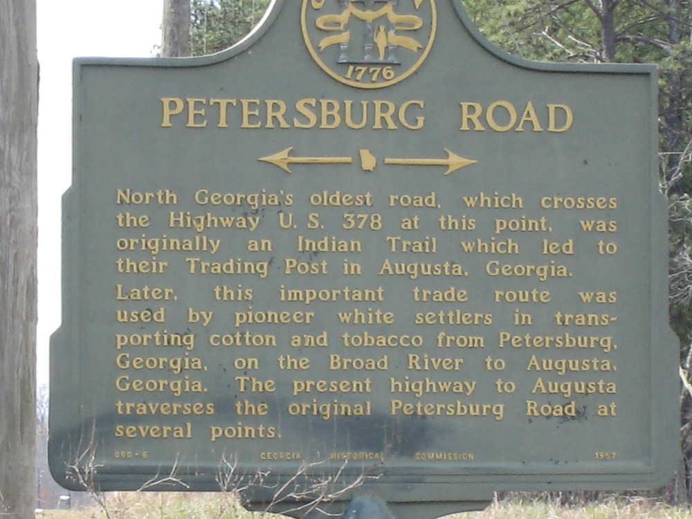
An historic marker for a road we crossed |
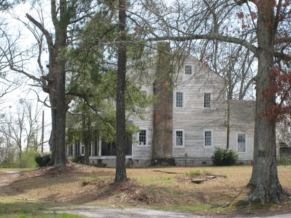
An old Georgia farm house |
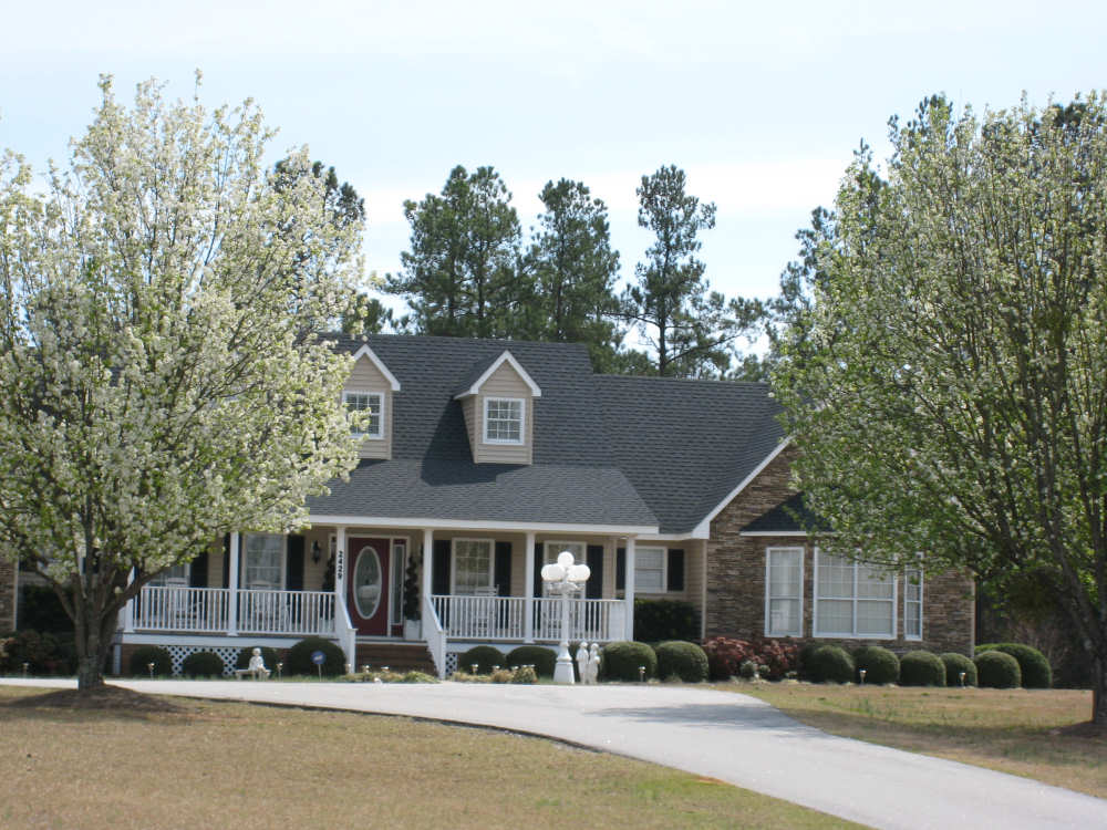
A stately Georgia home |
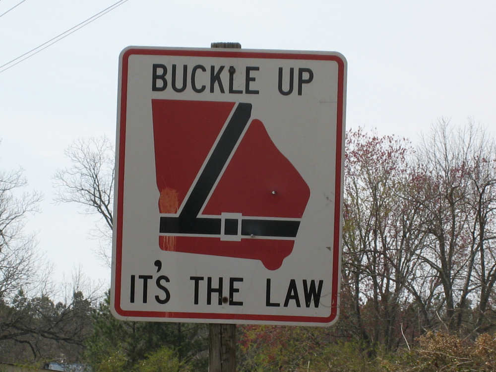
A cute Georgia highway sign |
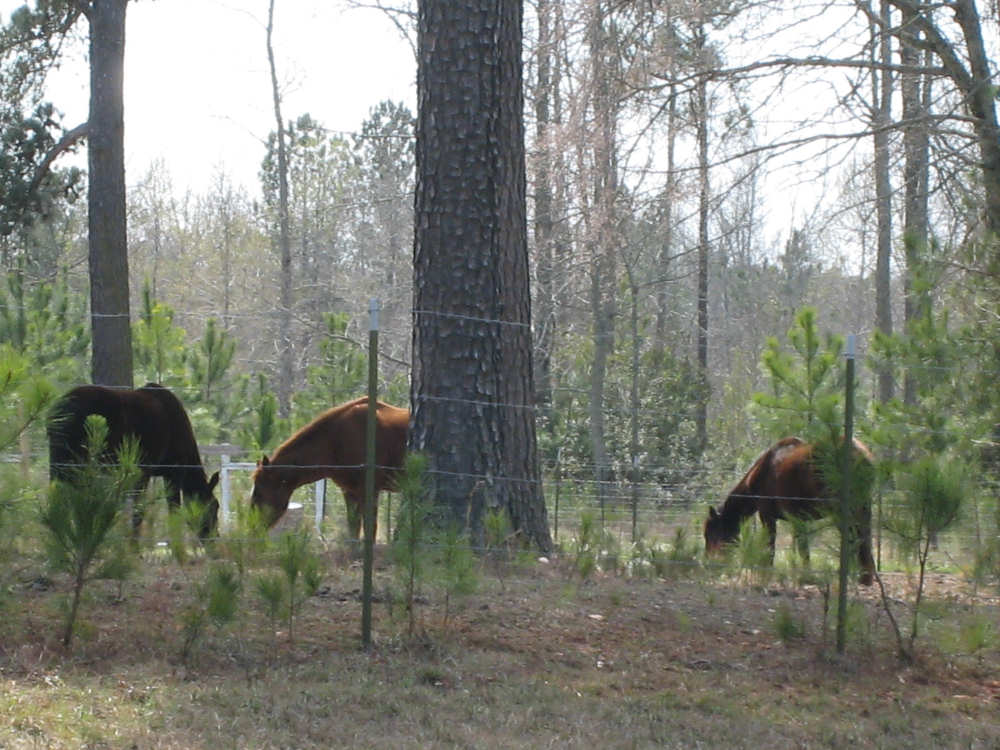
Horses grazing in a field |