Saturday, May 03, 2008
Globe, AZ to Apache Junction, AZ
57 miles (3258 total miles)
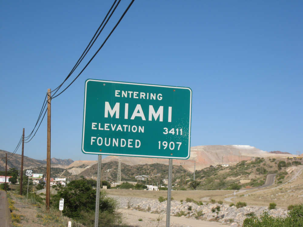
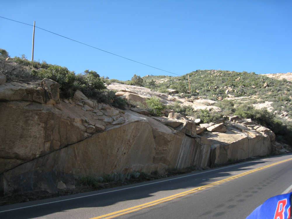
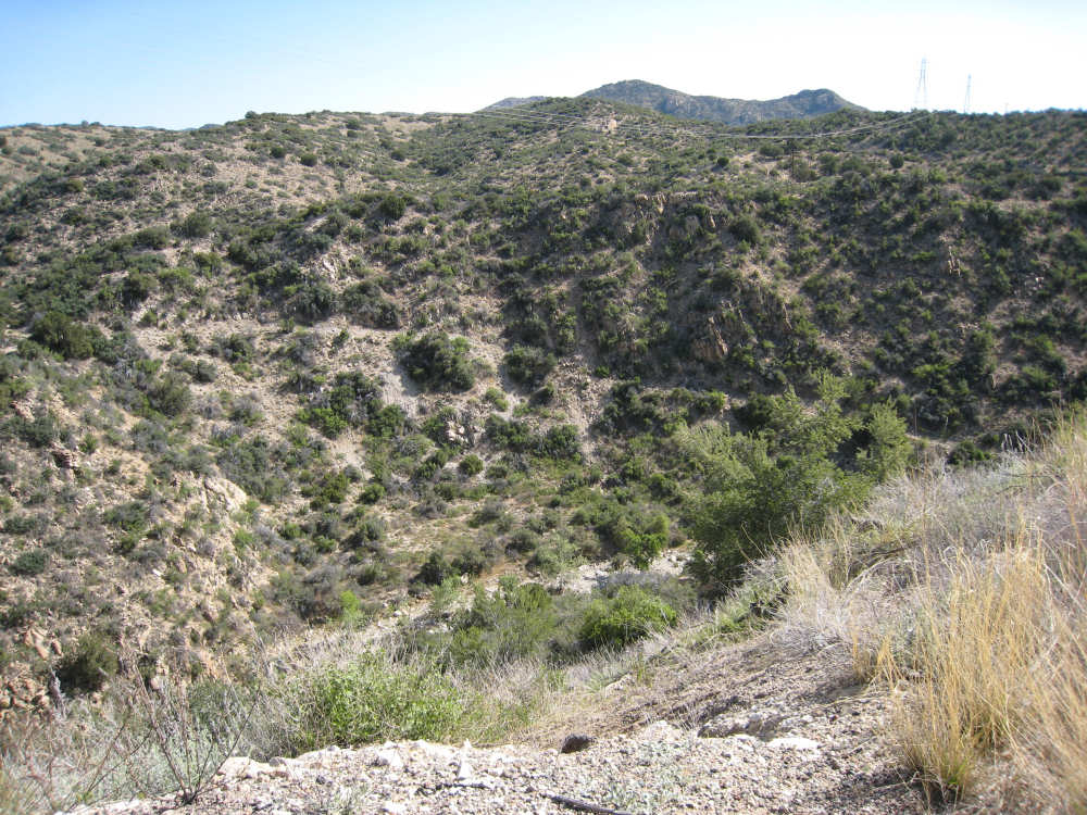
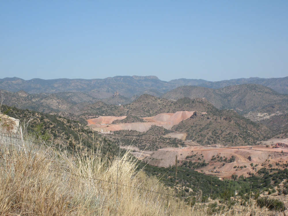
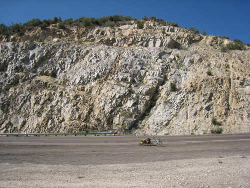
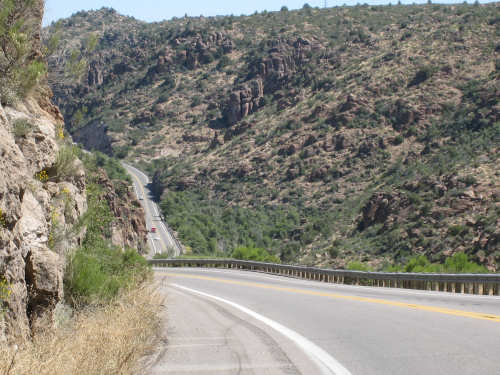
We had a shorter day today with only one major hill. The winds were merciful to us again and were very calm all day. The day started out quite cool - 48 degrees - but went up to 90 by mid-day when we had gotten to the other side of the mountain. We had breakfast near the motel and found another biker about our age who was also trying to get an early start. He was going to be riding to Cholla (someplace we'll be passing through tomorrow) on an 85-mile ride with members of the local bike club. Sounded like a tough day's ride. We got underway at 6:45 and had an easy 6 miles or so before the big climb. We passed through the town of Globe, which had several houses built up on the hillsides and a copper and gold mining operation on some other hills. Mining seems to be the major focus around here. We went through 2 other towns in rapid succession, Claypool and Miami, both of which had mining operations. They were all operated by the same company that runs the Santa Rita Copper Mine that we saw in New Mexico (see April 28th). Soon after we left Miami, we began to climb slowly but surely. The grade was quite gentle at first, so we got a chance to warm up to it. It gradually increased to the 4-6% range. The scenery was quite stunning, particularly as we got up to the higher elevations. The mountains were made up of enormous rocks, some quite jagged and craggy, others round and smooth like stream pebbles. They must have been worn smooth by the wind; it would be very hard to believe these rocks had ever been under water. There was a fair bit of traffic, though, which detracted some from what was otherwise a pleasant ride.
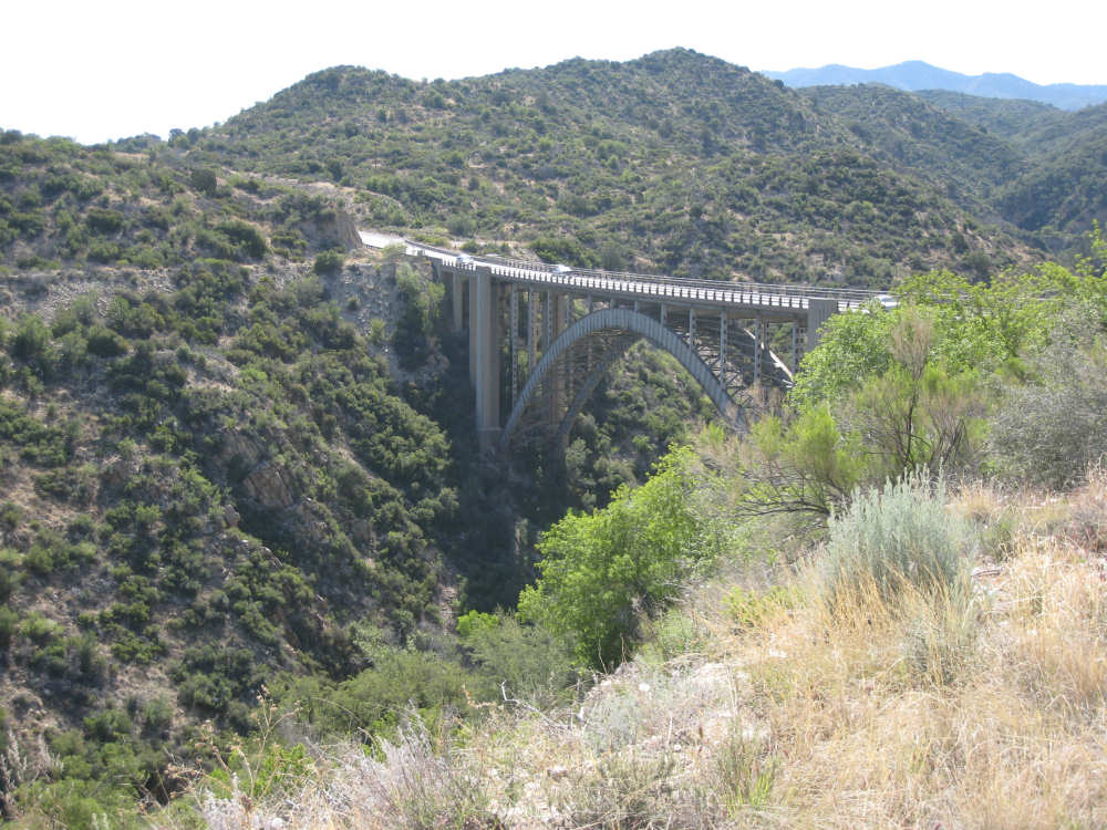
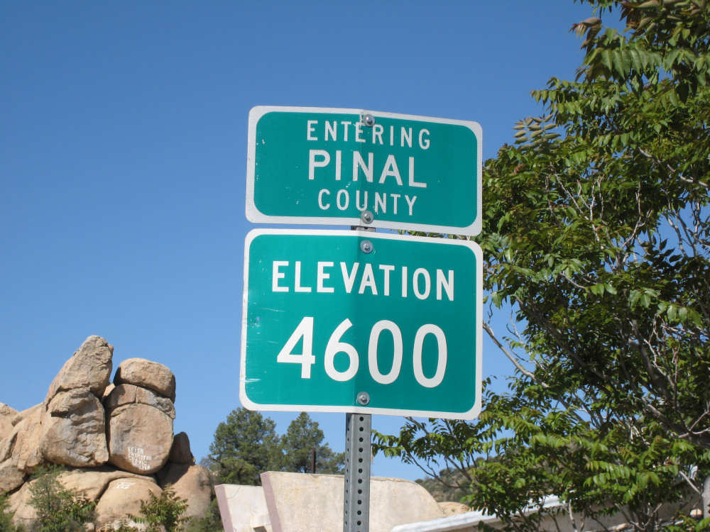
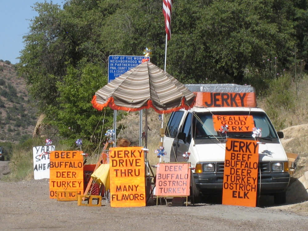
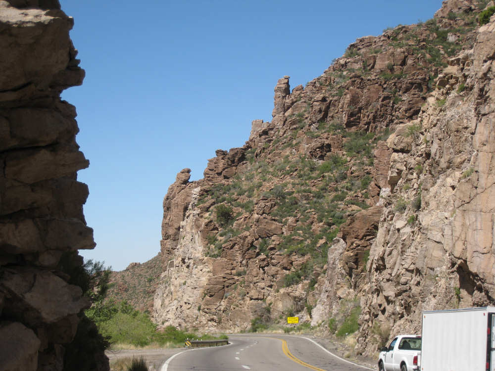
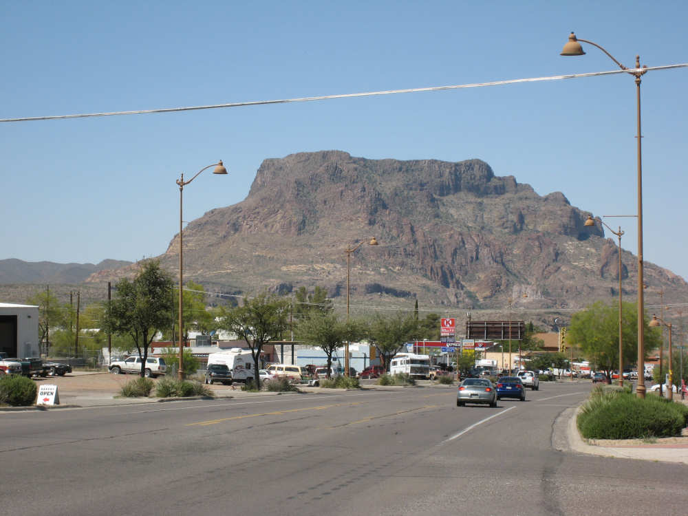
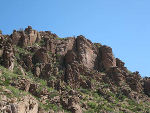
Just before the high point, we crossed the Pinto Creek on one of the highest bridges I had ever seen. We couldn't see any water in the creek but the gorge it formed was incredibly deep and had some great views. When we reached the high point (about 4600 feet), we found there was a little community up there. We were amused to see a sign that said Business District. There were 2 buildings that looked like they had been stores, long closed though. But there was one thriving business still going, and we got a picture of it. There were also some houses, mostly trailers, some of which seemed to be wedged into the huge boulders that were up there. It was quite a strange sight. We then began another nerve-wracking constantly-braking descent. Luckily, we had replaced the pads on the disk brake yesterday; they were already quite worn and I don't think they would have lasted through today. Part way down, the boulders became even more impressive in the area called Devil's Canyon. We stopped to take a number of pictures there. Shortly after that canyon, we went through a short tunnel, the Queen Creek Tunnel, through another mountain, and a mile or so later, we arrived in the town of Superior. Since it was nearly half-way to our destination, and the only other town before our destination, we decided to have lunch there even though it was fairly early. We ate at a small Mexican restaurant, of which there were at least 3 fairly close together. There were a couple of nice shops, selling antiques and Native American jewelry and crafts. Superior claimed to be at 2,888 feet, but it seemed much lower because we later climbed a bunch more to reach the Gonzales Pass, elevation 2,895.
Just outside of Superior, we passed the Boyce Thompson Arboretum State Park, which looked beautiful with many varieties of yucca, cactus, and other flowering desert plants. Shortly after that, we came up to a jeep that was parked by the side of the road whose driver leaned out and called to us as we rode by. He had just passed us and pulled over to ask us about our journey. His name was Terry, he lived in Tempe, and he was an avid bicyclist himself, having done the Adventure Cycling Northern Tier a few years back, as well as several other major excursions. We chatted for quite a while about biking in the area. He invited us to stay at his place in Tempe for the night, but it was too far for today's stop and too short for tomorrow's. It turned out that the father and son bikers, Ian and Taran, that we met at the Kingston Lodge had stayed with Terry when they went through Tempe! He said he had heard that Ian & Taran had stayed at the lodge for several days to learn more about strawbale house construction from Catherine and Pete. Finally, Terry suggested that he ride with us a while tomorrow and show us a better way through Phoenix than the A.C. maps suggested. So we're looking forward to doing that.
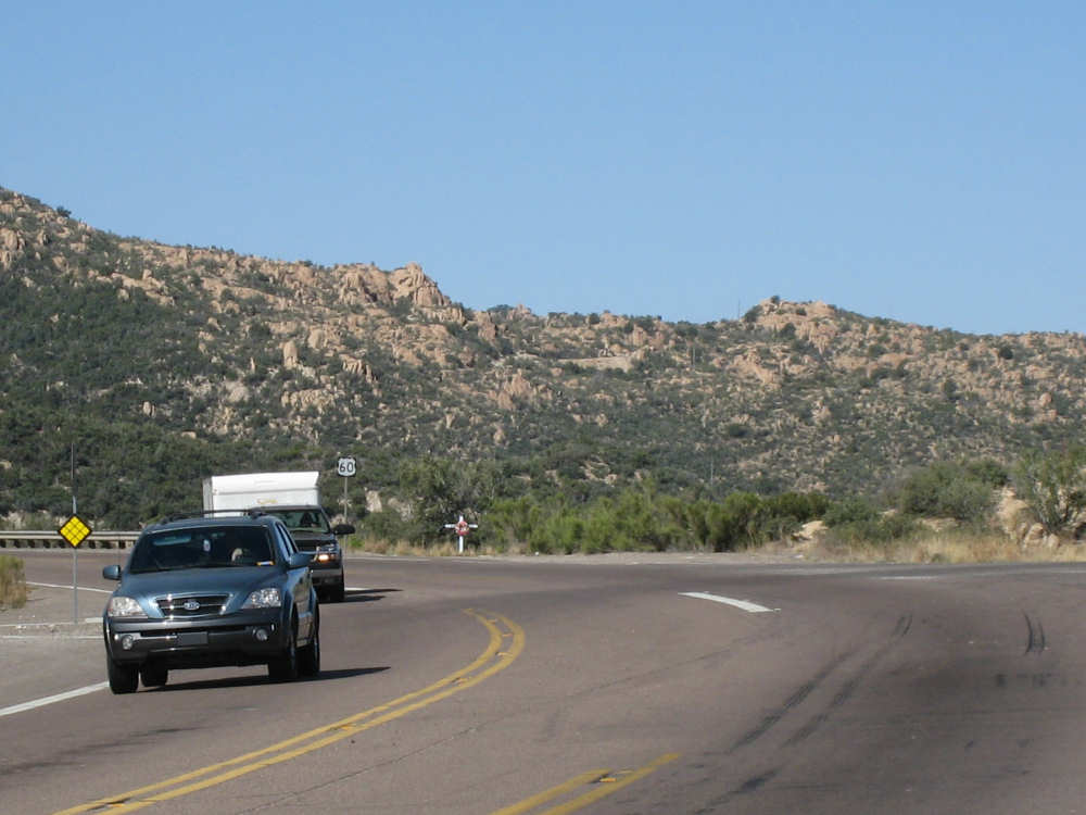
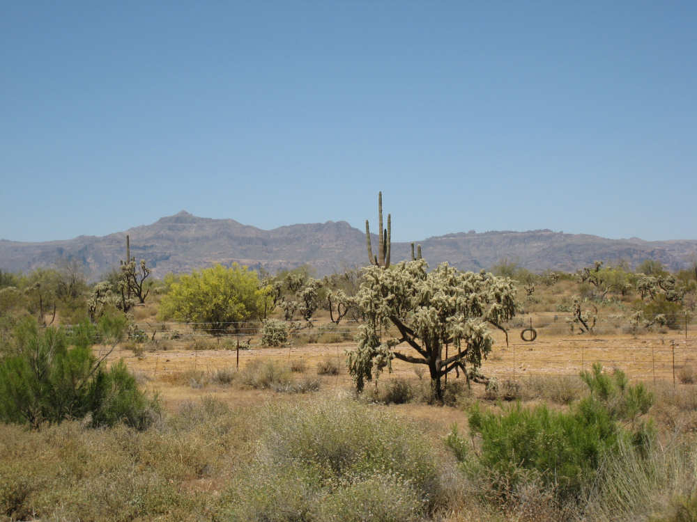
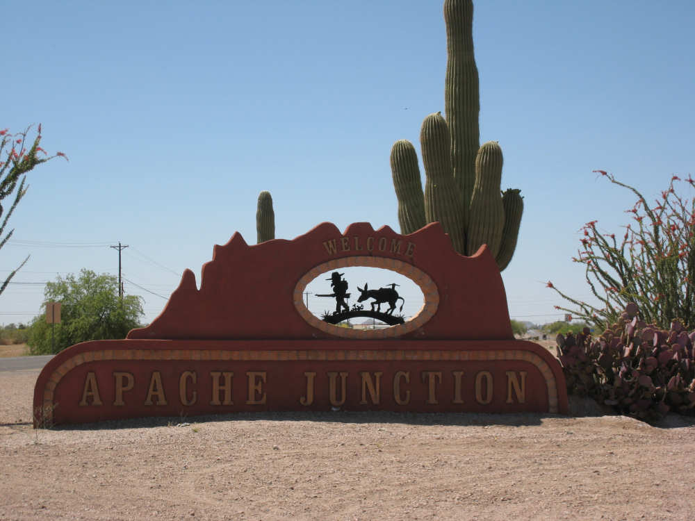
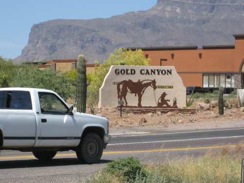
The rest of the ride was fairly uneventful. We went up the Gonzales Pass and down again (another steep descent, but not as long). Then, things leveled out and the road was either slightly downhill or level the rest of the way to Apache Junction, about 22.5 miles short of Tempe. The scenery along this stretch was beautiful too, with lots of desert plants and mountains in the background. The traffic was still fairly heavy and the shoulder here was very rough, so we tried riding in the road as much as possible - it made for a less than relaxing end to a not very relaxing day. As we approached Apache Junction, we went by several housing developments and small shopping plazas, all of them in a bright Southwestern style and all looking extremely new. Apache Junction itself had a very new look to it. We found our motel and got settled in at 2:30 (3 hours earlier than yesterday), having come 57.4 miles (20 short of yesterday) in 5 hours and 20 minutes of bike time. We realized that there was a bike shop in town and found out they closed at 5 pm on Saturdays, so we rushed over and got new chains put on the bike and picked up some replacement pads for the disk brake. It was a great bike shop and we had a pleasant chat with the owner and his helper while they worked on our bike. Then we went off to dinner and came back to work on the website.
Outside our motel room in Globe
|

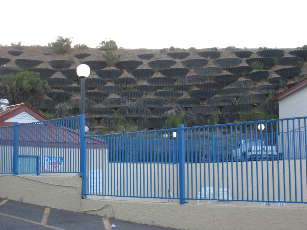
An ingenious way to terrace a hillside - bury huge tractor tires in it
|
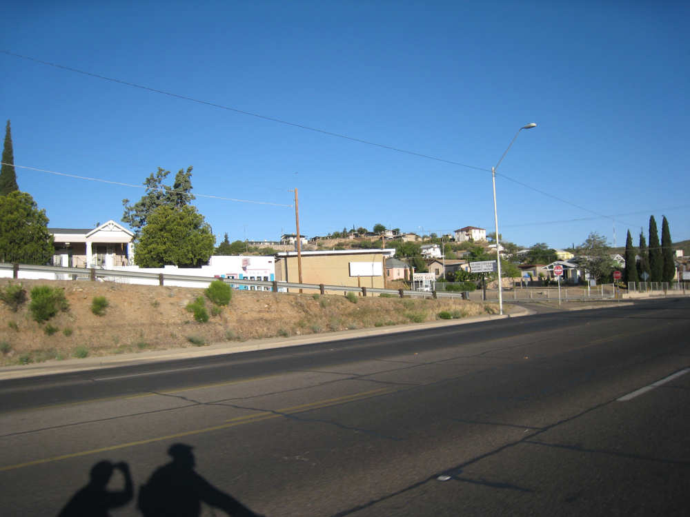
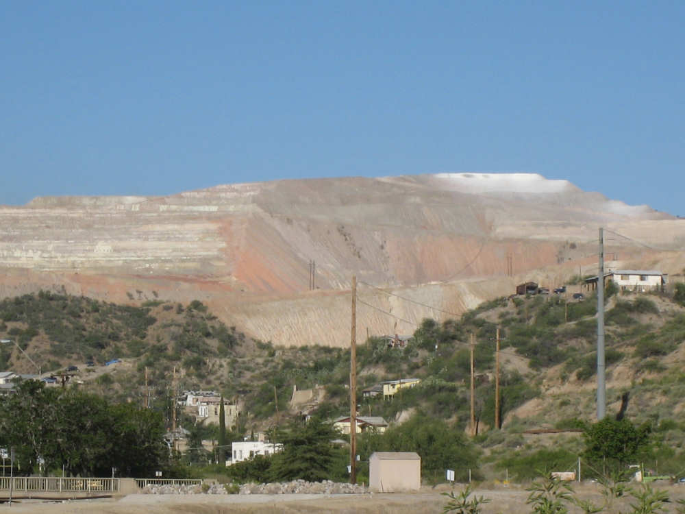
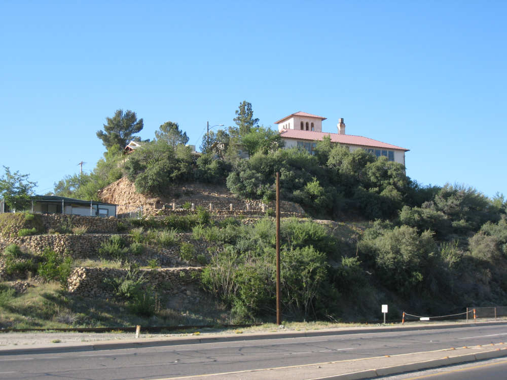
Houses on the hillsides in Globe
|
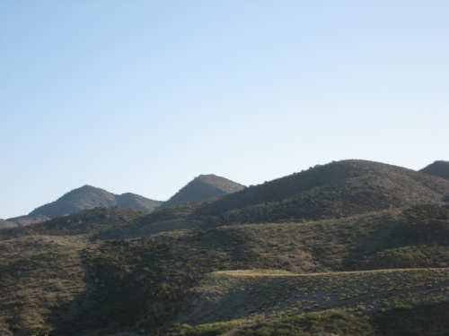
The mountains around Globe
|

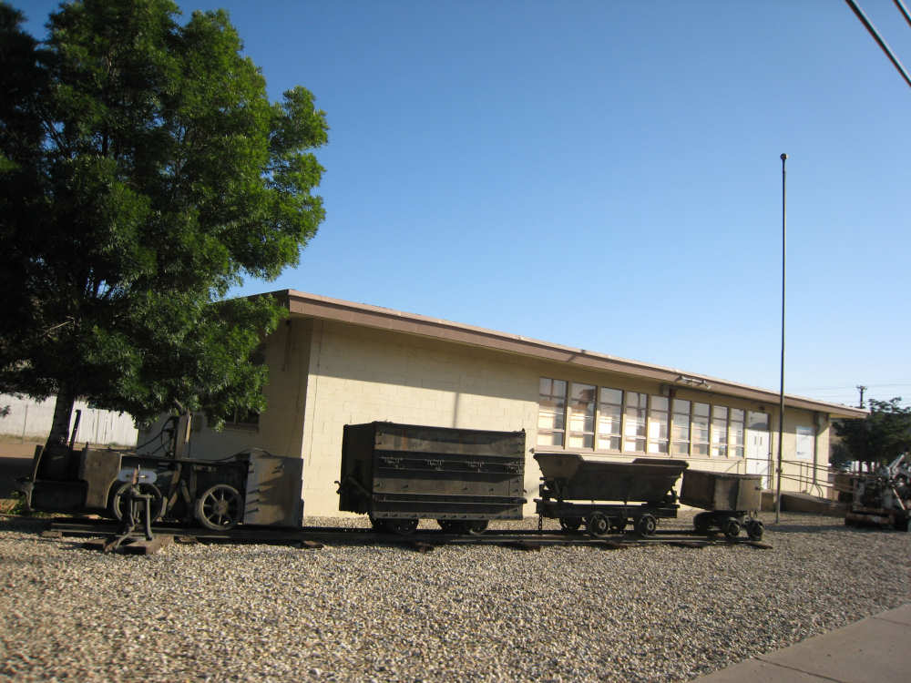
Old mine cars outside a mining company office
|

Miami, slightly lower than Globe
|
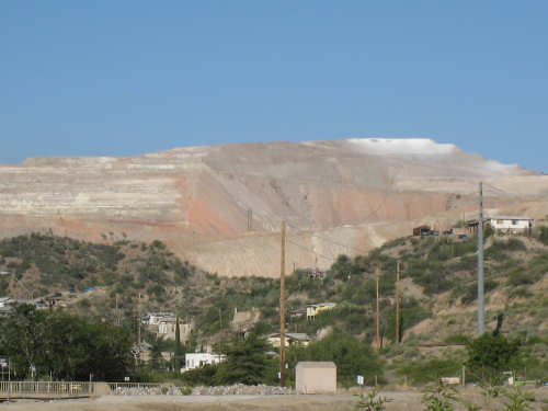
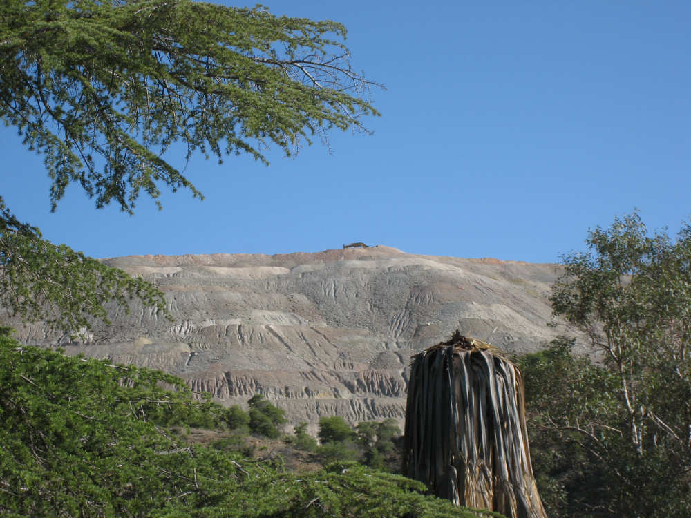
A large mined mountain in Miami
|
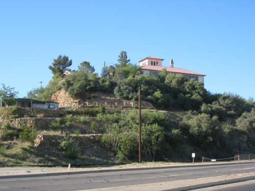
Miami builds houses on hills too
|
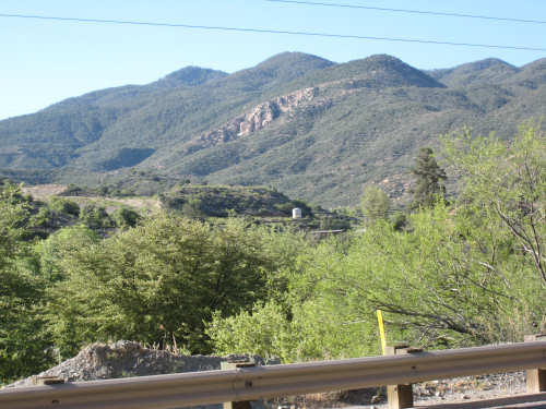
The mountains get steeper as we start to ascend
|
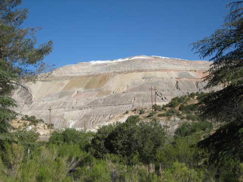
More mining operations
|
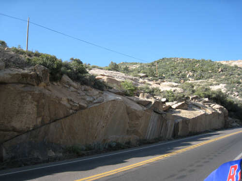
The rocks start to get really interesting now
|
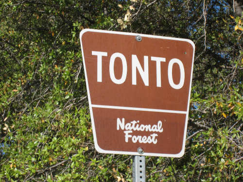
We didn't know there was a National Forest named after Tonto!
|
The road levels off part way up
|
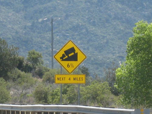
Did we mention it was steep?
|

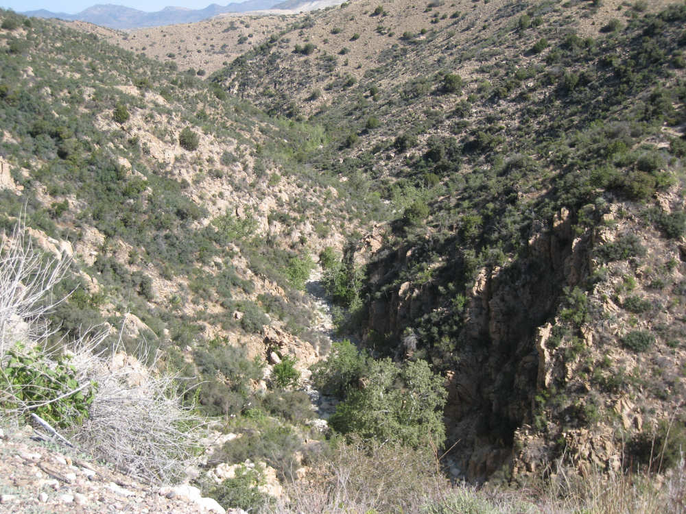
Looking down the Pinto Creek gorge
|

Same gorge - this shows the creek bed below and a walking trail part-way up
|
The bike is here again to show the scale of the mountain side
|
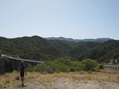
A view on the other side of the bridge over the gorge
|

A better view of the bridge
|
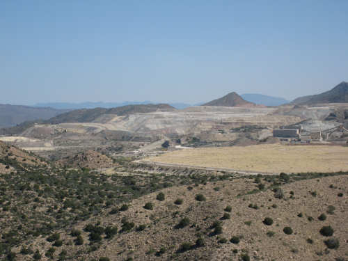
More mining operations here too
|
Some of the worn-smooth rocks
|

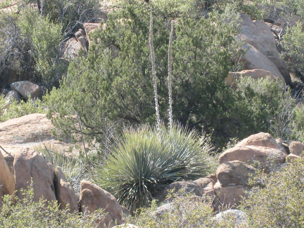
Yucca plants among the boulders
|
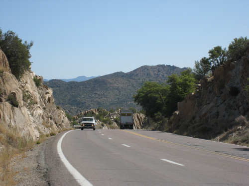
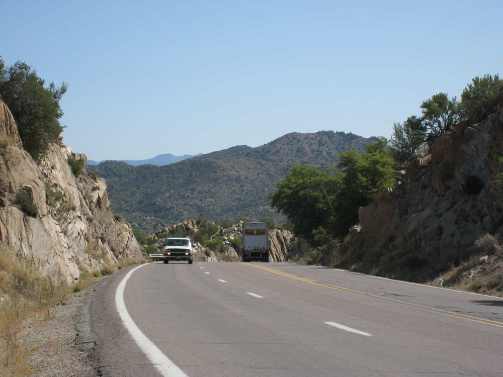
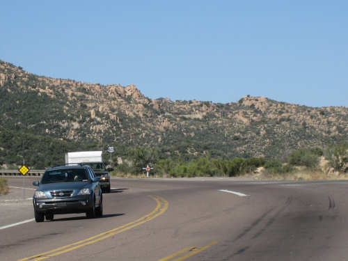
A view of the road we just came up and the mountains behind
|

We hit the top!
|

The booming business district at the Top of the World
|
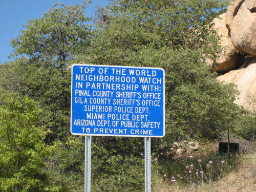
Sounds like a very safe community
|

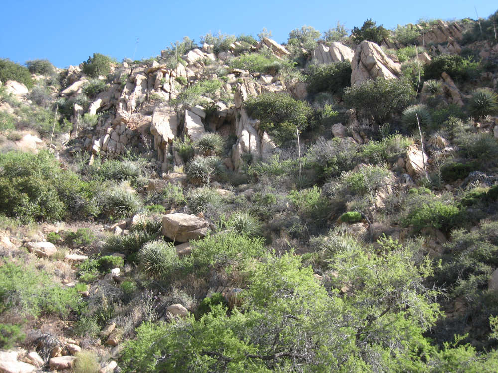
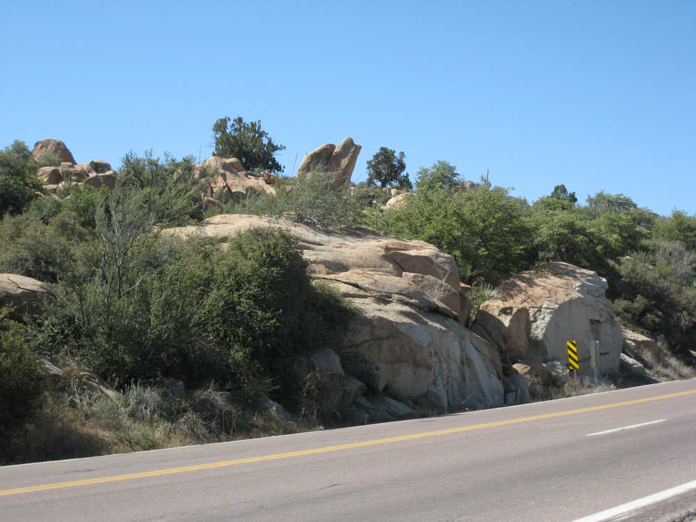
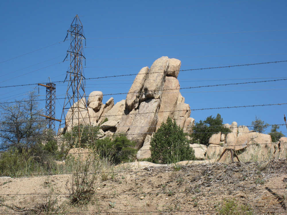
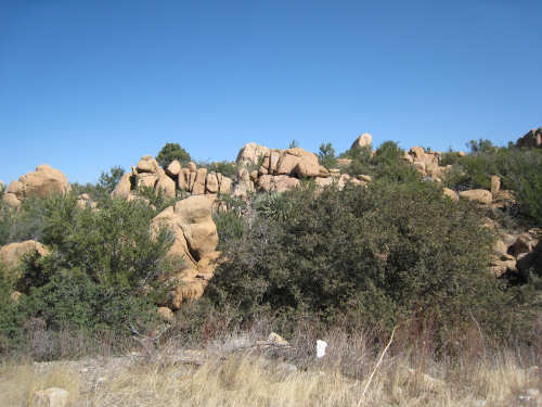
Some of the fantastic boulders up here
|
We're finally heading downhill
|

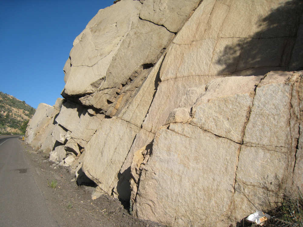
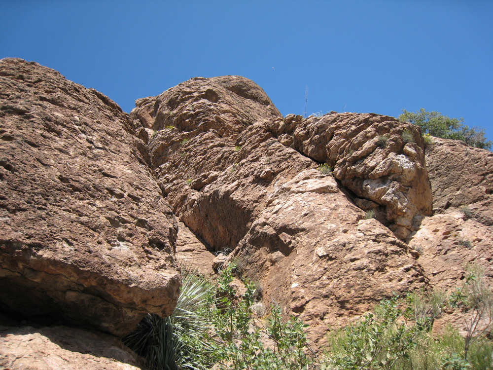
And now the rocks really get interesting
|
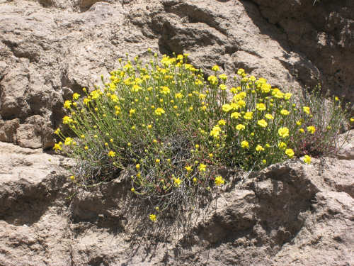
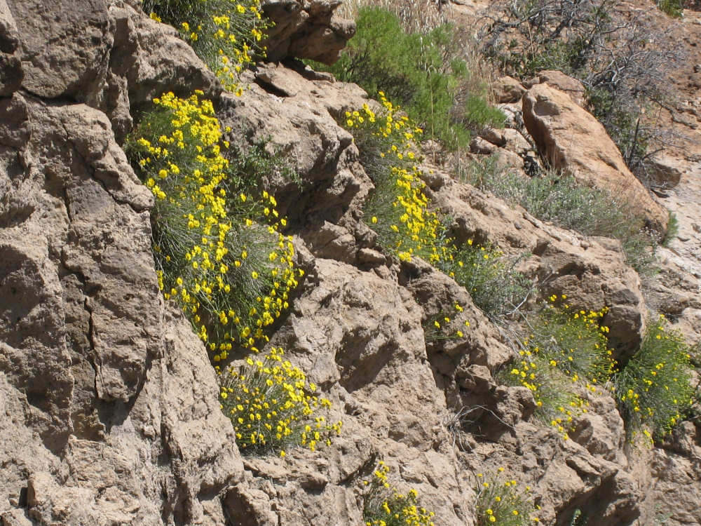
Pretty flowers growing...
|
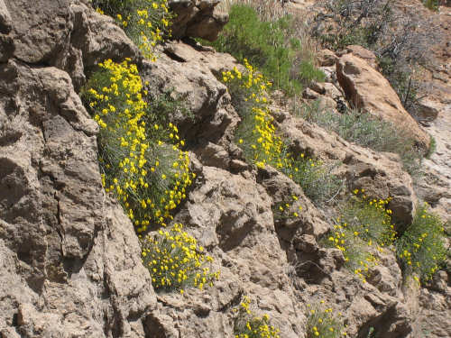
right out of the rocks
|
Did we mention it was steep?
|
Devil's Canyon
|
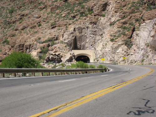
The entrance to the Queen Creek tunnel
|

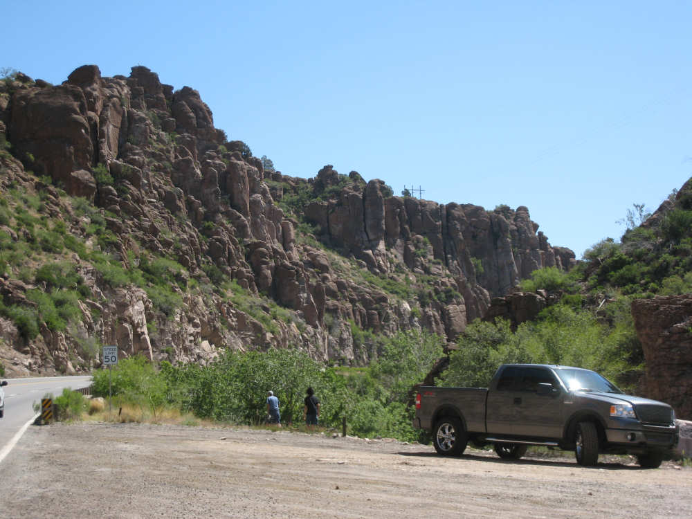
The town of Superior and the mountain behind it
|
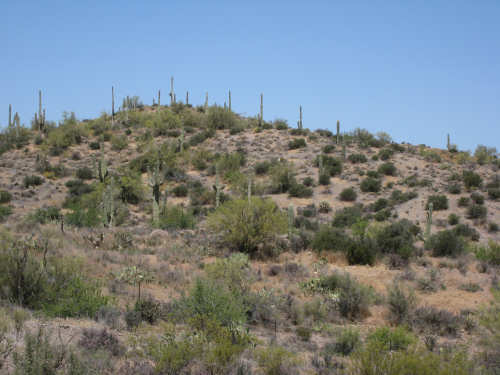
Another hillside of saguaros
|
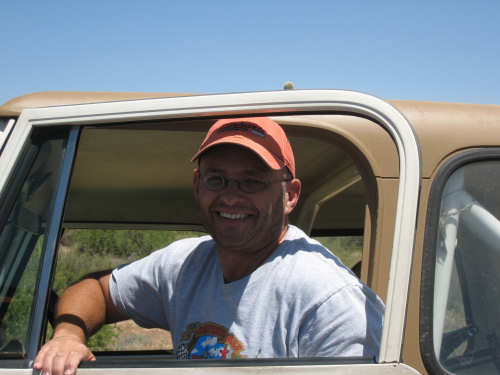
Our new friend, Terry from Tempe, AZ
|
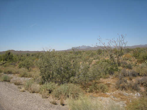
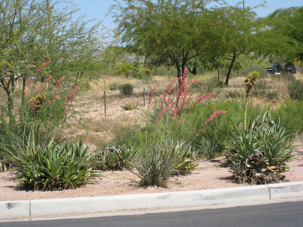
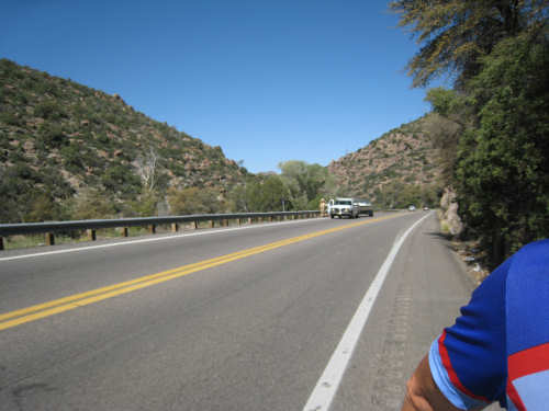
The landscape and plants on the level stretch between Superior and Apache Junction
|
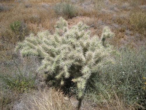
An interesting cactus
|
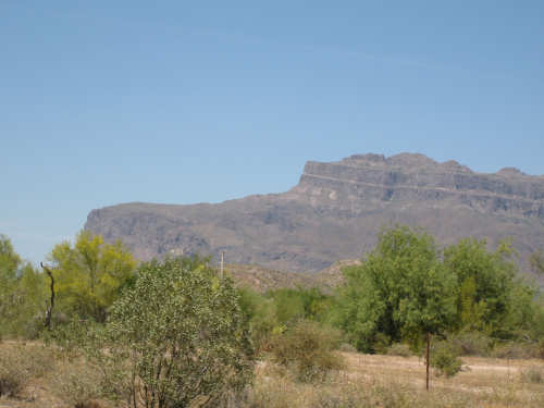
The mountain just outside of Apache Junction
|
Entrance to one of the new developments outside of town
|
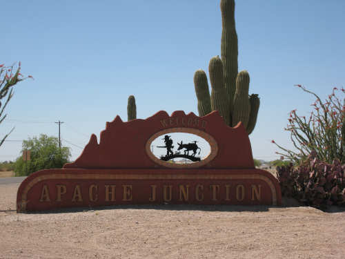
Our welcome to Apache Junction
|

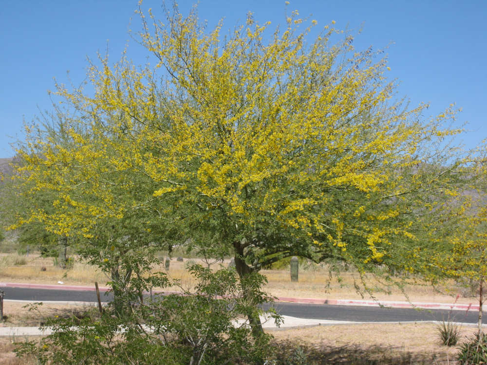
Pretty flowering trees and plants in town
|