Tuesday, May 20, 2008
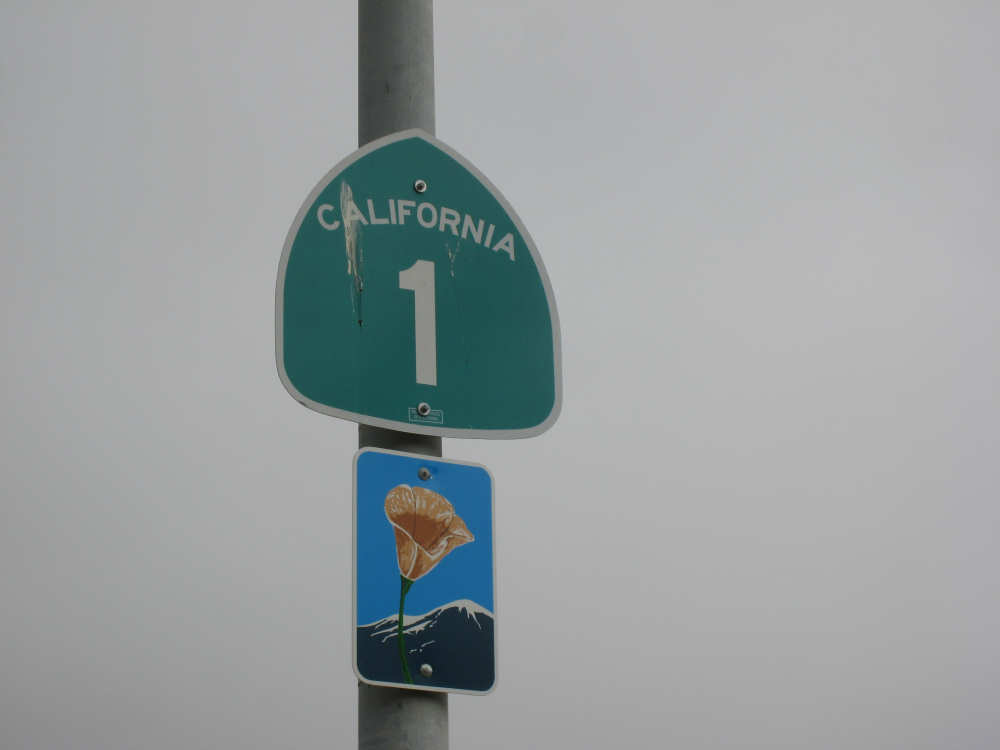
Gaviota, CA to Santa Maria, CA
48 miles (4010 total miles)
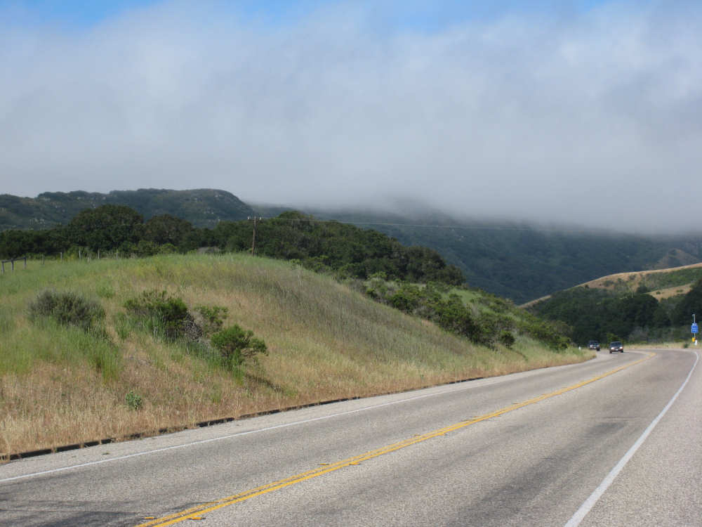
A very interesting day today - no ocean views, because we went a little more inland, but stunning mountainscapes instead. It got very windy last night, which we were well aware of, given we were out in the tent. I was hoping it would be over by morning, but no, it was still kicking when we got up today. It was also quite foggy over the mountains and cloudy over the ocean. Did not look like a good start to what we expected to be a difficult day. It was also pretty chilly - seemed like it might have been 50 degrees or a little less. So we bundled up, had the breakfast we packed the day before, packed up the bike, and left the campsite at about 8 am. We started going uphill right away but fairly gradually. The mountains ahead of us soon came into view and were absolutely awe-inspiring. There was a short tunnel up ahead and a rest area right before it. We stopped at the rest area to take some layers off, having already gotten warm, and found a lot of information about the mountains and plants of the area. The placards were not in good shape and were hard to read, so I thought I would transmit some of what was written on them instead of putting up pictures of them.
"This province is unique among all the other California provinces. In the Transverse Ranges, all of the mountains and valleys run in an east-west direction, while most other mountains in the state trend in a north-south direction... The Santa Ynez Mountains were once the floor of an ancient sea, which was uplifted...millions of years ago. The steep and rugged outcrops of the pass are sandstone beds which have been tilted almost straight up. The sandstone gives way abruptly to clay shales as one moves south toward the coast. The transition from sandstone to clay, marked by a change in vegetation as well, is easily seen in aerial photos. The sandstone outcrops are covered by dense brush, or chaparral. This contrasts dramatically with the grasses and annual herbs growing on the gentle slopes of the softer clay shales."
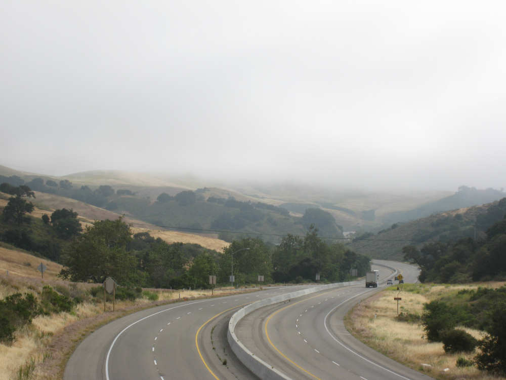
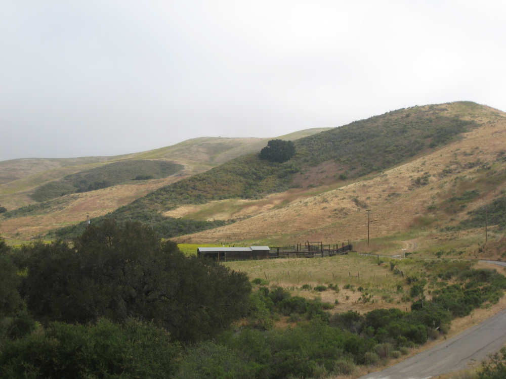
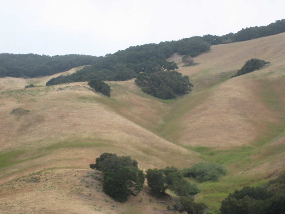
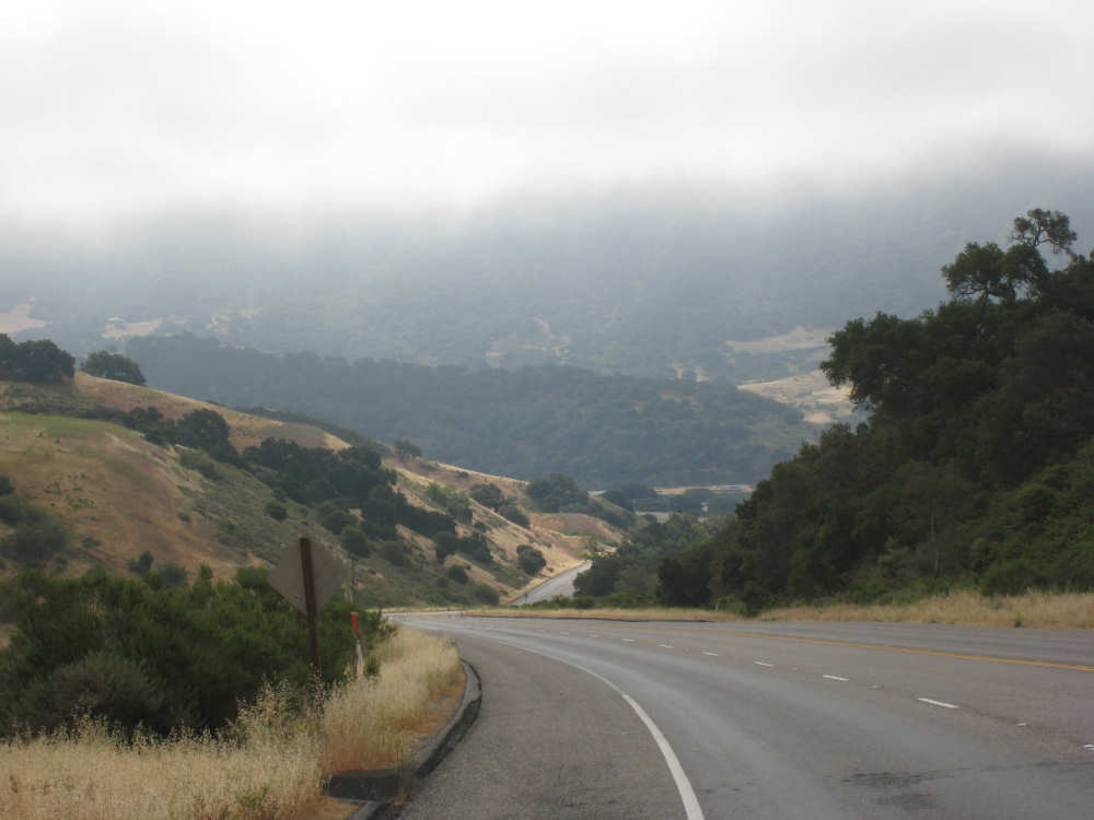
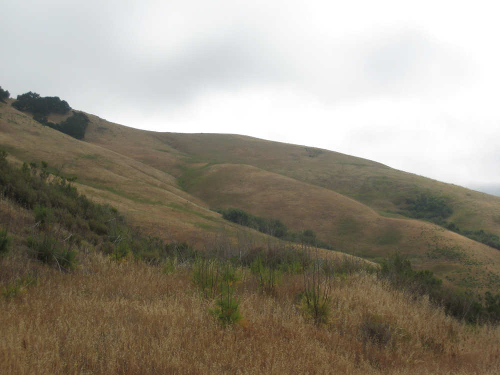
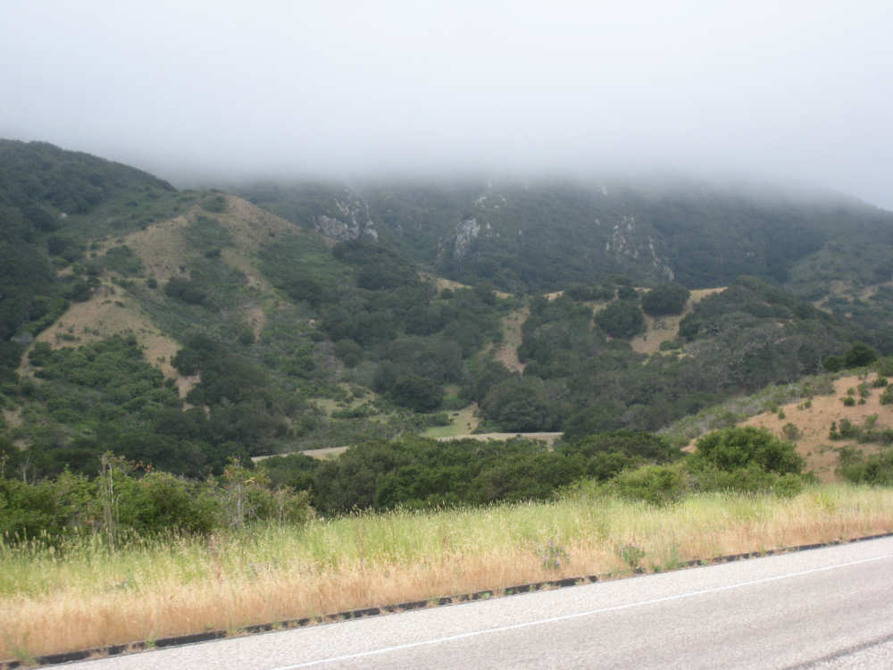
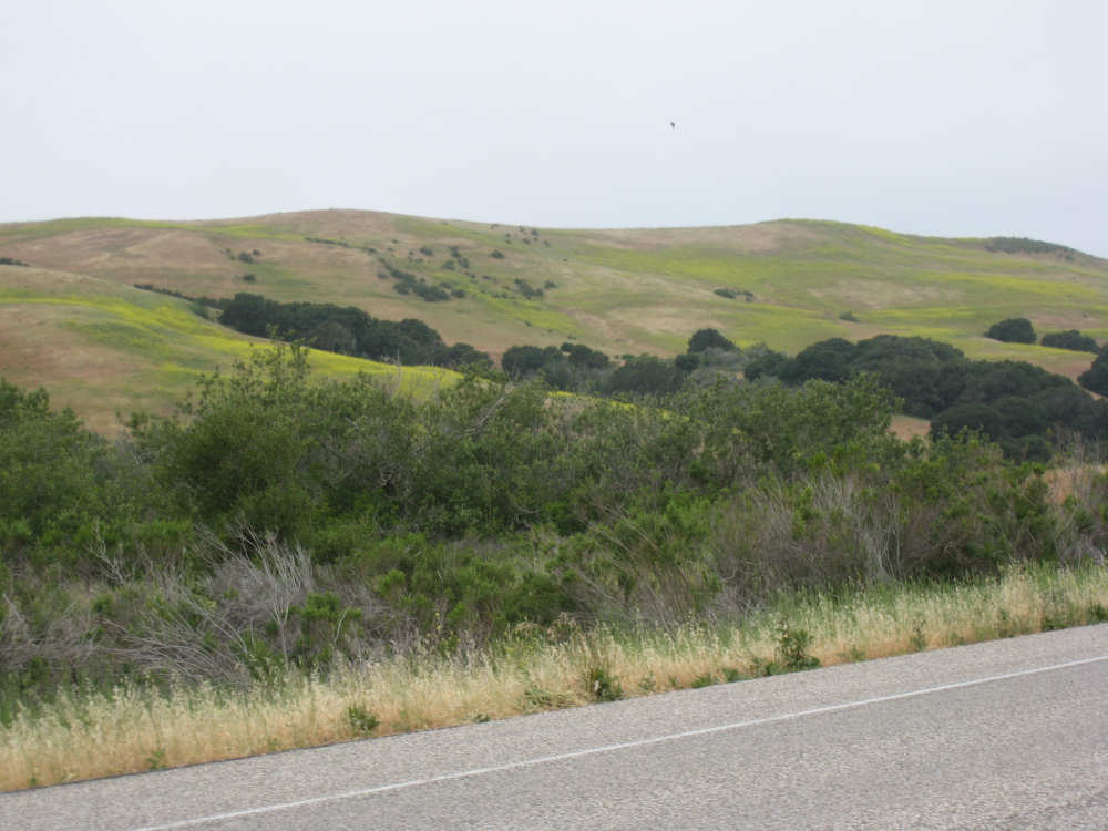
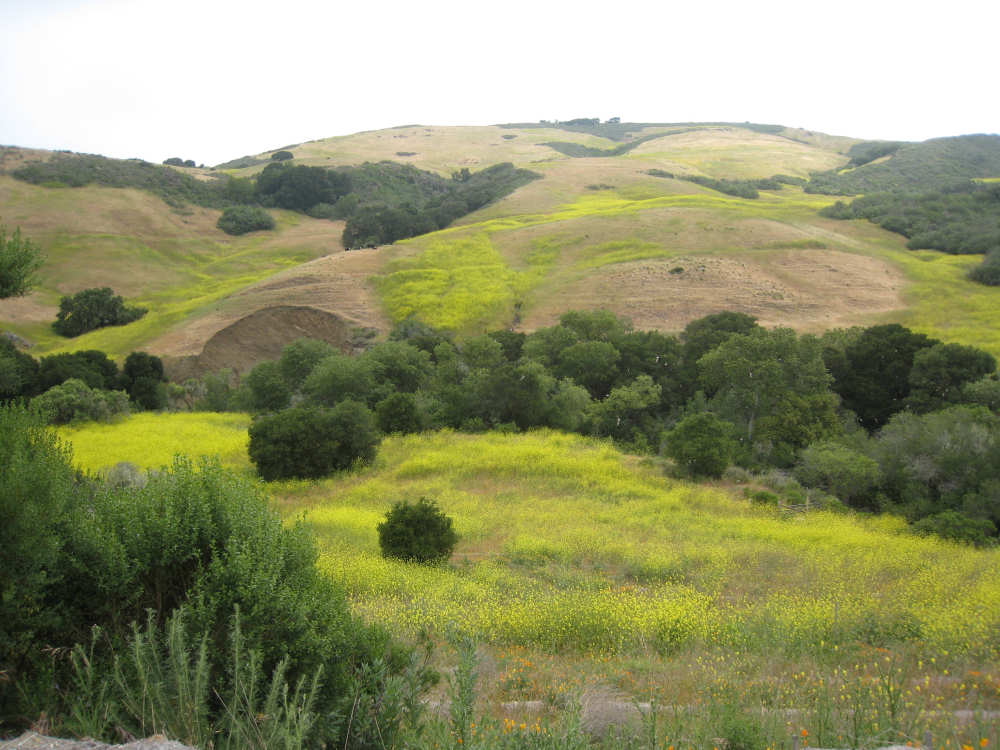
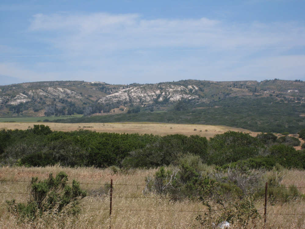
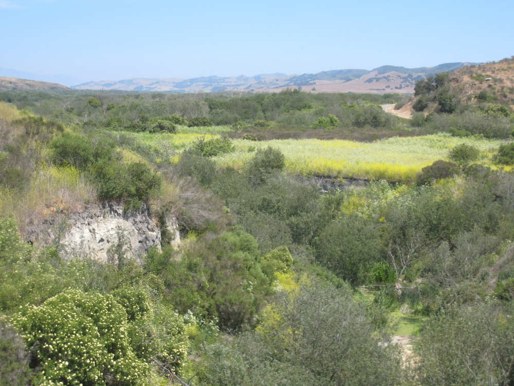
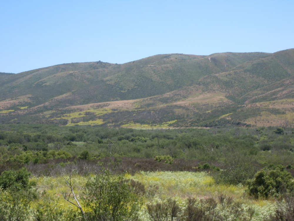
We went through the tunnel which was thankfully short - it was narrow and had a lot of traffic so it was a little scary and very noisy. After the tunnel, the climb got a lot steeper and went on for about 3 miles. The mountains continued to be gorgeous however and we thoroughly enjoyed the trip up. As the placards at the rest area indicated, this side of the Santa Ynez Mountains was much greener and softer than the sandstone/chaparral slopes. The colors ran from the dark green of the dense trees to the light green of new grasses, with large patches of yellow flowers and light brown grasses thrown in here and there. The rolling hills and deep canyons made a highly varied terrain that was constantly enchanting. We saw crops and cattle in a few places (how the cattle managed the steep slopes, I can't imagine), but mostly it was just wild and beautiful.
Just as we got near the top of that first steep hill, we saw another couple on a tandem coming down on the other side of the road. We stopped to chat - they were Paul and Robin from Boulder, CO, and they were taking a 10-day trip along the coast, ending in Santa Barbara. They were amazed to hear that they were only the second tandem we had seen touring. We had a nice descent on the other side, not having to brake much, and eventually came to the town of Lompoc. We had lunch there, since it was about half-way and was the only town we'd see that day before our final destination. One of the original Spanish missions, La Purisima, was nearby but as usual we didn't stop to sight-see. The route out of Lompoc took us through Vandenberg Air Force Base although if we hadn't seen the signs for it, we would never have known. All we saw were more rolling hills (none as high as the first one) and greenery. We did pass a large middle school on the base, where a lot of kids were just coming out for recess or some sort of outdoor exercise. This half of the day was not quite as scenic and had a lot more short climbs, so we were getting pretty tired by the end. It had gotten less windy and warmer in the afternoon but was still surprisingly cool. We turned off of Rt. 1, on which we had been most of the day, onto Rt. 135 which took us into Santa Maria, a large town of about 77,000. We ended the day around 4 pm, having gone almost 48 miles in almost 5-1/2 hours - pretty slow going.
Oh, and we hit another milestone - 4,000 miles today. Pat still has trouble making zeroes with his hands.
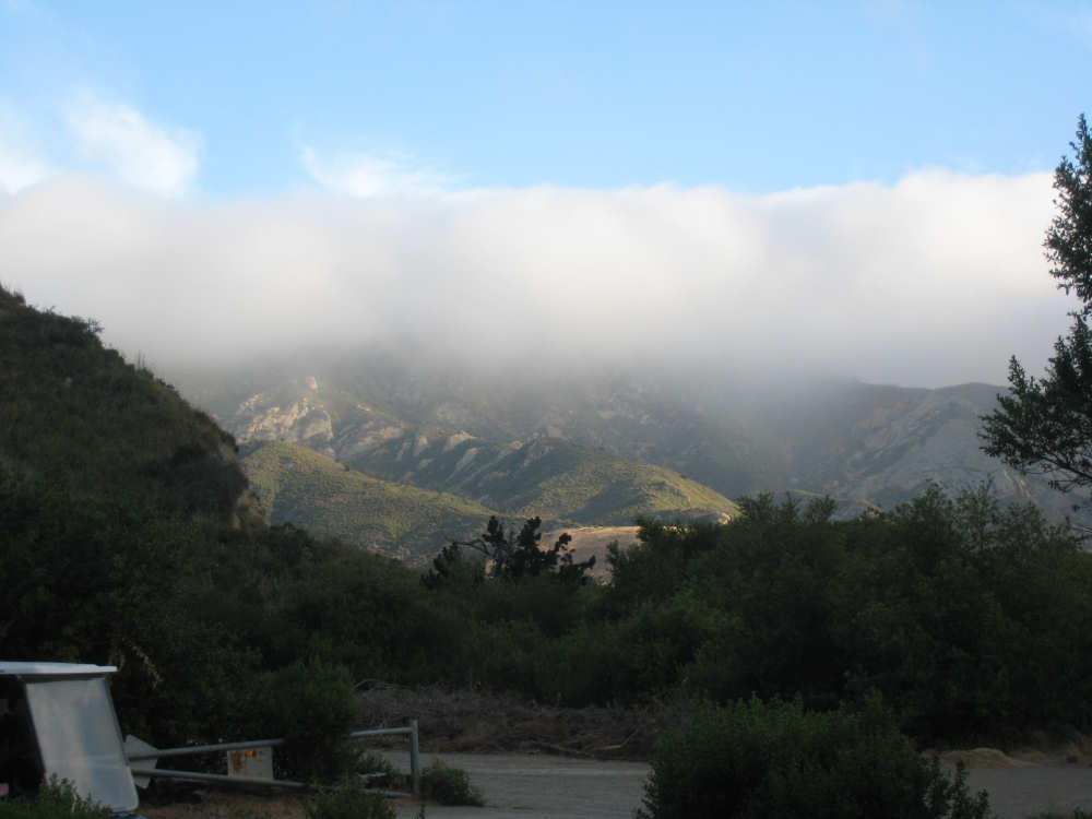
Early morning fog over the mountains around our campsite |
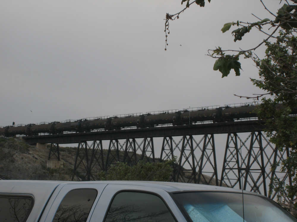
A freight train goes by next to the cloud-covered ocean |
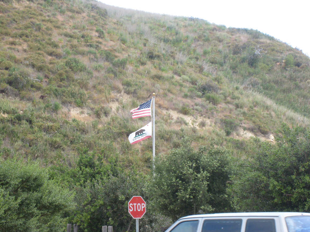
The campsite flags whipping in the breeze |

One of the many swallow nests under the eaves of the camp's restrooms |
The Santa Ynez Mountains ahead as we start out |
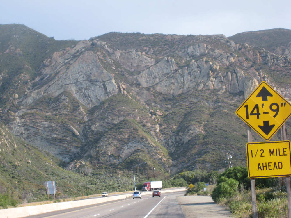
A close-up of the mountains - the low clearance is the tunnel |
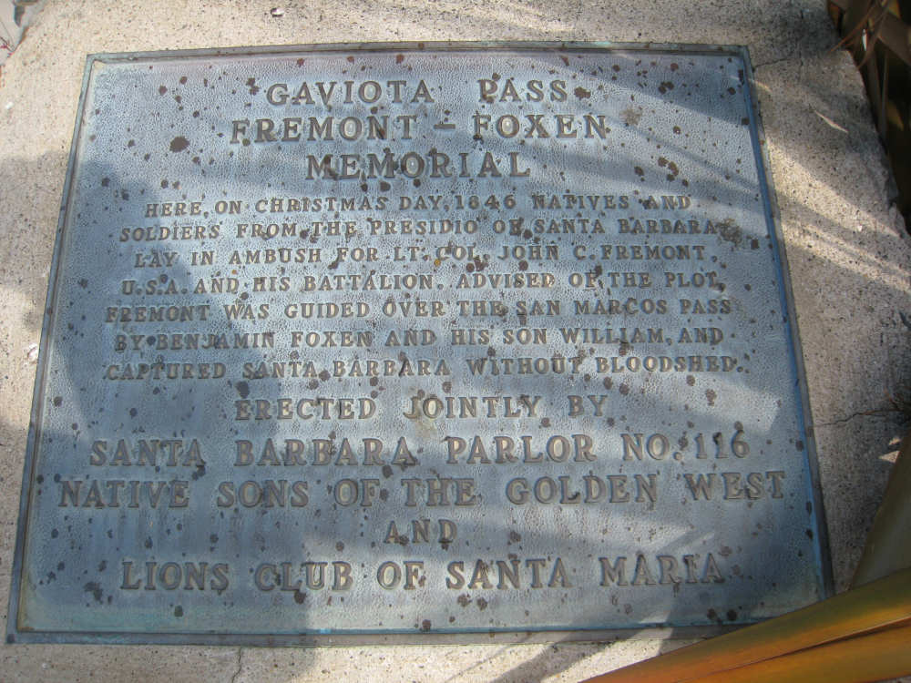
A historical marker at the rest area before the tunnel |
More sandstone mountains |
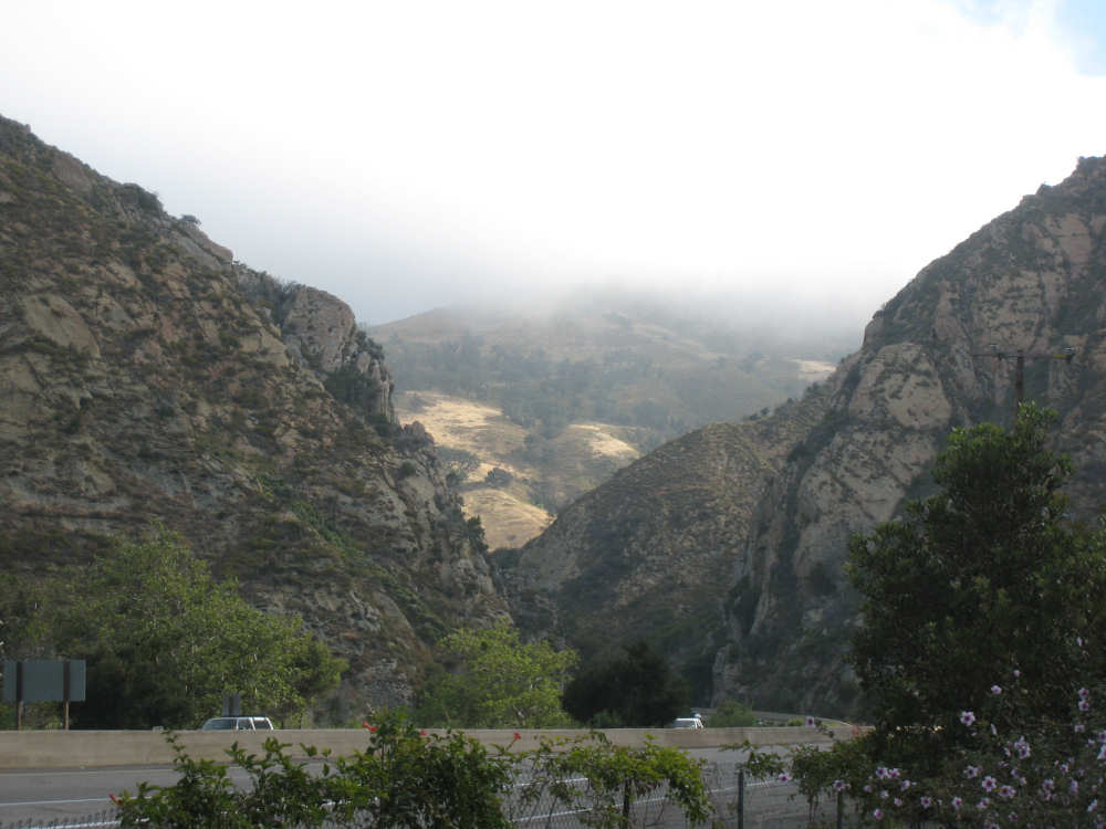
The pass between mountains and a greener, fog-bound mountain ahead |

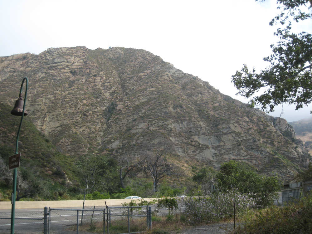
Looking back on the tunnel we just went through |

View of the green, rolling mountains on Rt. 1 |
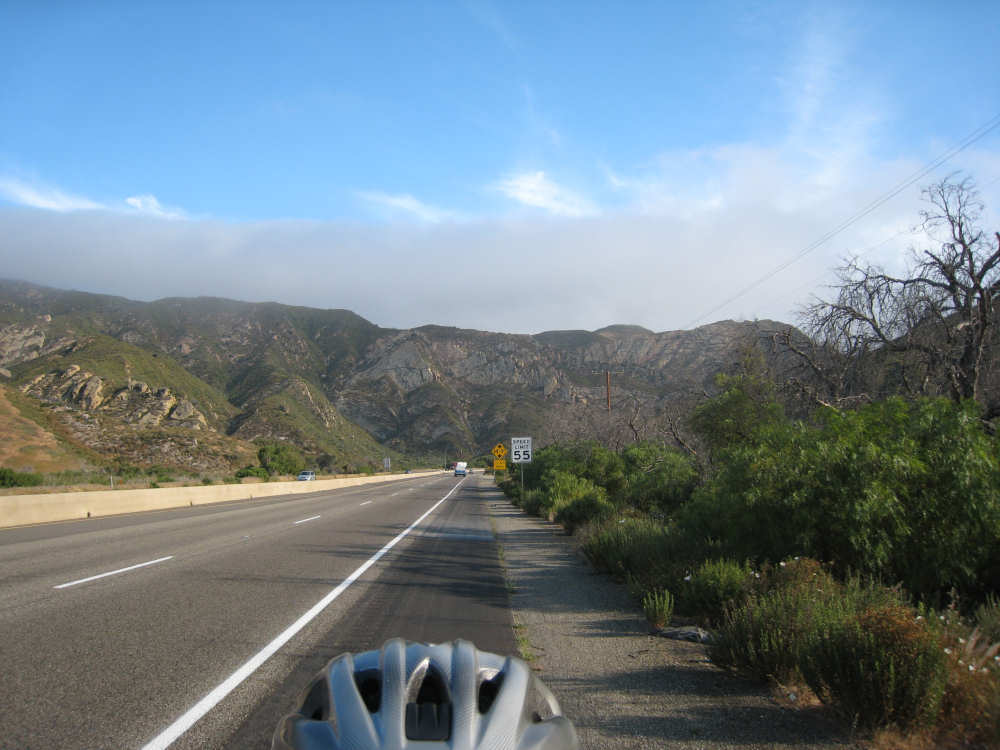
This part of Rt. 1 is the scenic mountain route |
Part-way up the first hill, looking back down |
Concave scoops out of these 2 hills, and a ranch below |
Rolling hills |
Farther up the mountain |
More rolling countryside |

We're level with the trees near the top |
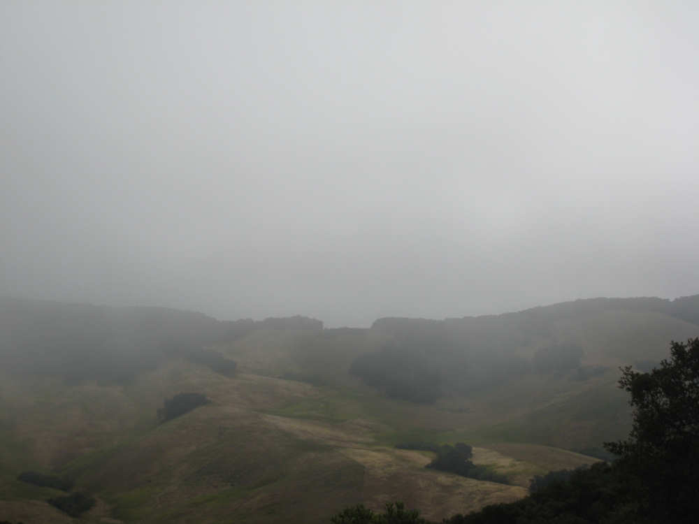
Still foggy up here |
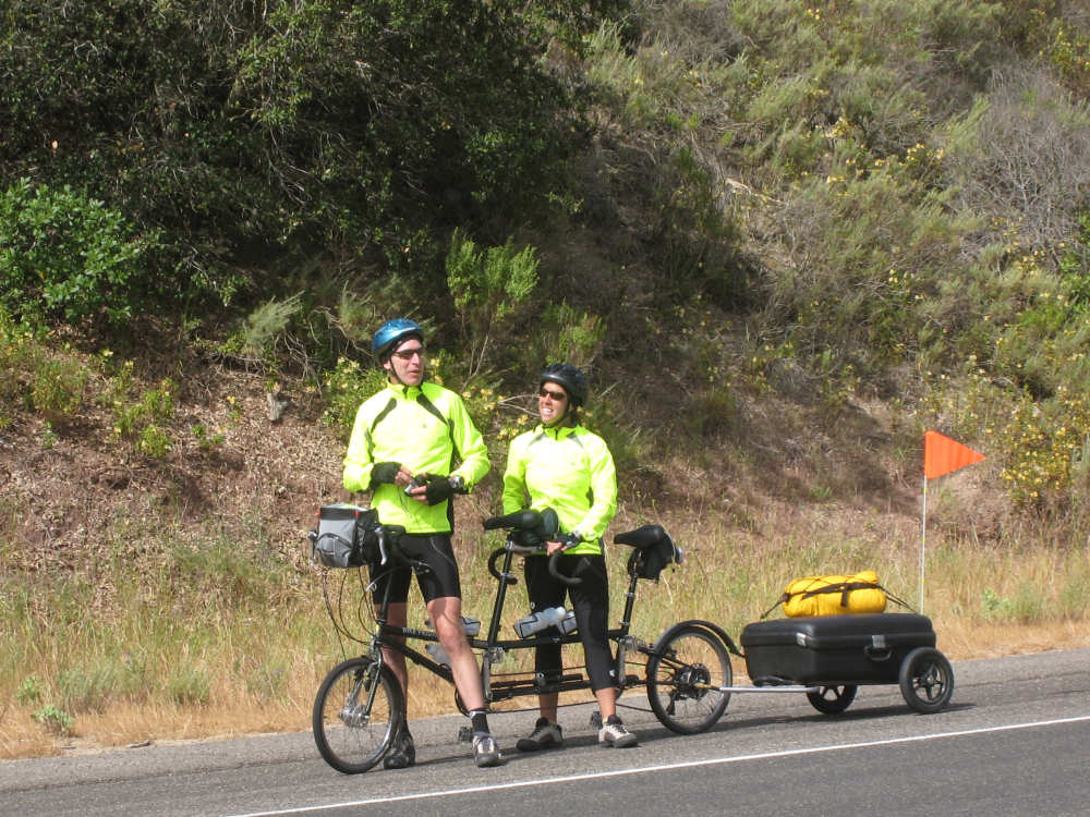
Paul and Robin from Boulder |
On our way down now |
Views of the changing colors of the landscape |
|

|
|

One of the few creeks with water |

The Salispuedes was dry |
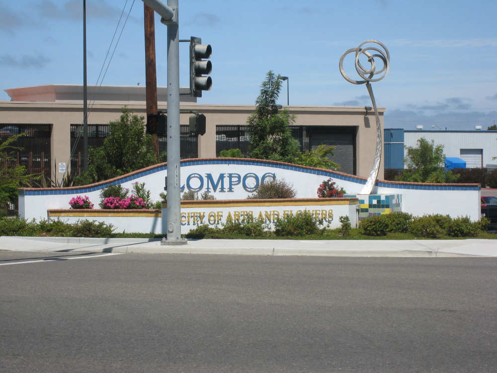
The entrance to Lompoc |
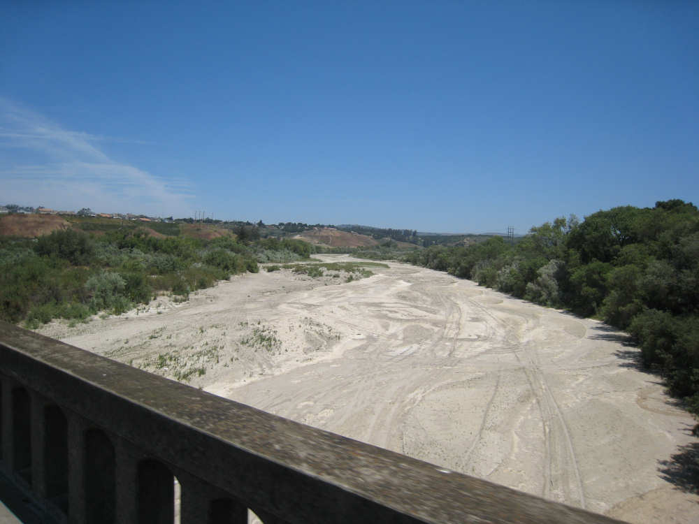
The very dry Santa Ynez River |
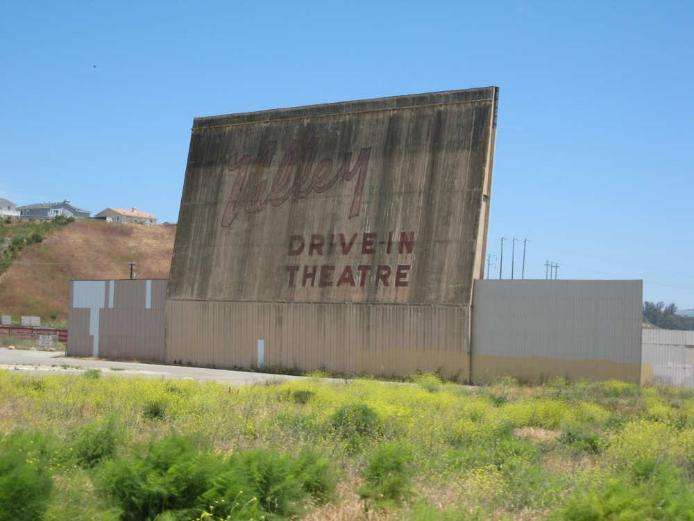
Lompoc's 'historic' drive-in theater |

We seem to be following this route, but don't know who Juan Bautista de Anza is |

The sign for the historic La Purisima mission |
We come into the Vandenberg Air Force Base |

The entrance to the visitor center at the base |
More views of the base area |
|
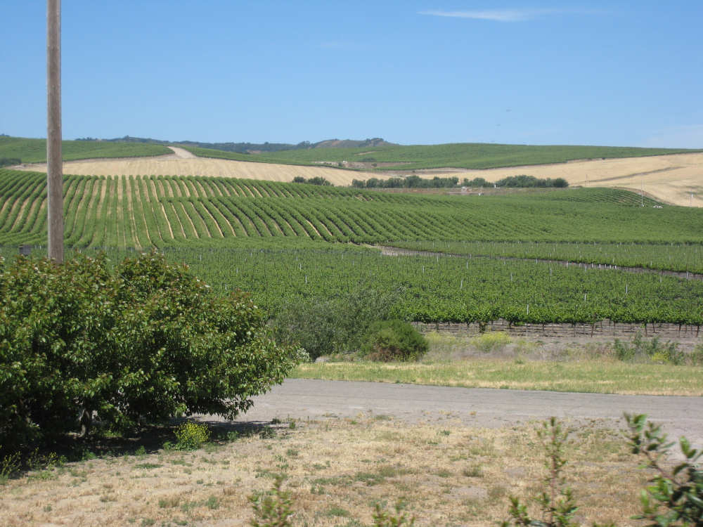
Crops along Rt. 135 |

Our 4,000 mile marker |