Sunday, May 25, 2008
Big Sur, CA to Marina, CA
41 miles (4200 total miles)
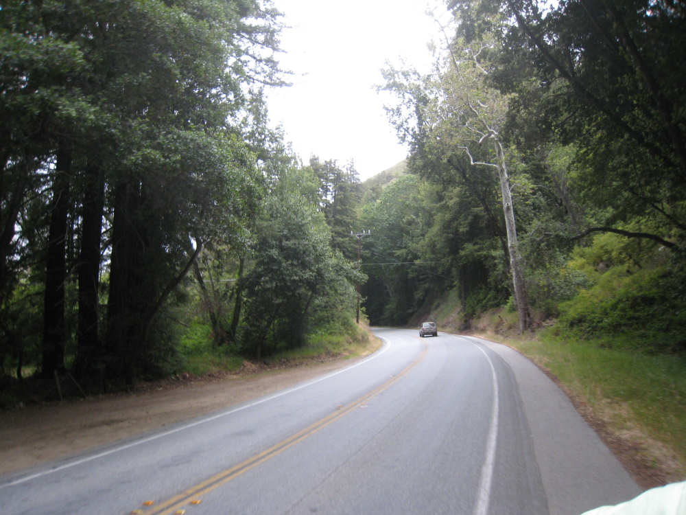
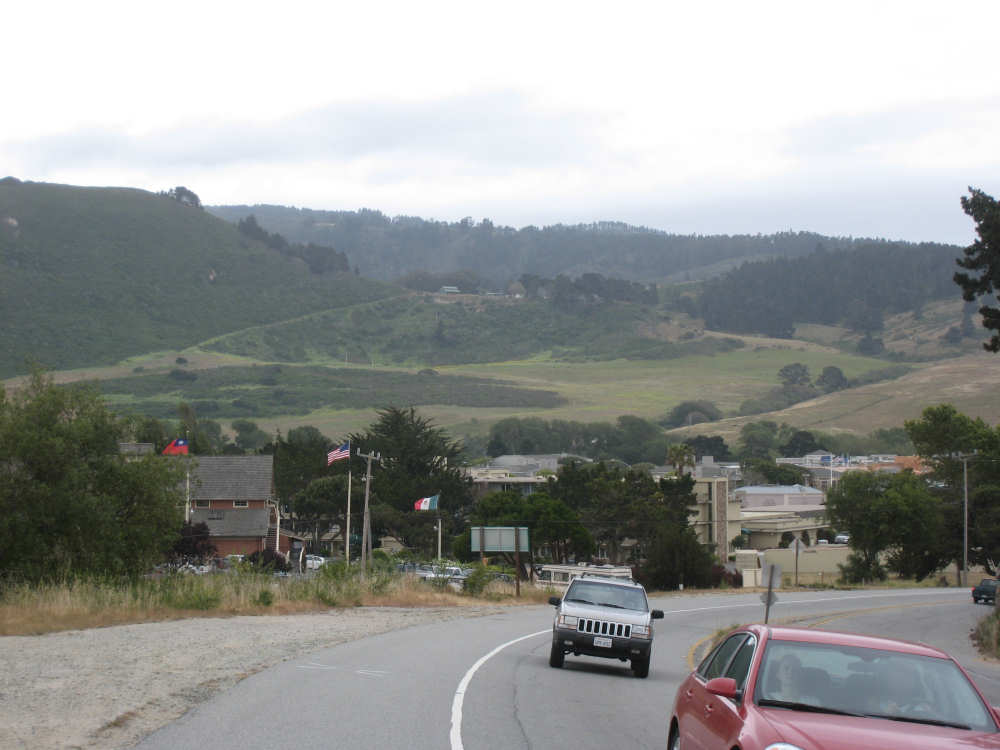
Cloudy again today, and rather cool. We packed up the tent and everything this morning and headed out by 8:10, having decided to find breakfast on the road instead of eating in the Big Sur Lodge again (they didn't open until 8 anyway). The road was lined with redwoods so the scenery was very dark and woodsy for a bit. We followed the Big Sur River for a good while and passed several other state parks with camping facilities. We saw a small restaurant that was open for breakfast and stopped there. Another couple arrived just after us and was seated at the table next to us. We got to talking - they were Anthony and Jenny from Worchestershire, England. Anthony was here for business, and they decided to stay on for 10 more days, traveling along the west coast. We had a pleasant chat and a delicious breakfast and then headed off. The road opened up after a few miles, and we were back to the rolling hills with grasses and short shrubs. We finally got a glimpse of the ocean again around Point Sur. As we approached the ocean, we saw a hill poking up in the distance, with what looked like a big house and water cistern on top of it and a long winding road going up to it. As we got closer, we saw that the hill was right along the ocean, almost an island. There was a sign down the road leading to it that seemed to indicate it was a naval facility of some kind, but that might have been the buildings closer to the road and not the one on top of the hill. We got several more views of this hill as we got closer to the coast, and as we traveled farther up the coast as well.
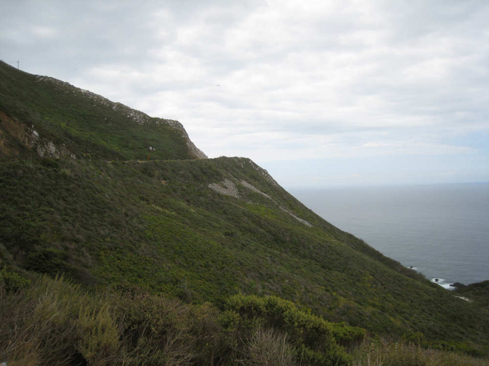
We continued up the coast, with one long (2-mile) climb, for another 15 or 20 miles without going through another town until Carmel Highlands. We did see some beautiful coastline, though, as well as some tall, green-covered mountains, and several creeks that emptied into the ocean. Across some of these creeks there were a series of historic bridges, built between 1931 and 1935. They were impressive monumental structures and had obviously stood the test of time. We also saw lots of wildflowers, including some yellow lupine which one of the camp hostesses told us was just beginning to come out (she did wildflower photography and so was very familiar with what was coming out when). It was a delightful stretch of the road. We then came into Carmel Highlands and, shortly after that, Carmel. These were both lovely towns, with well-to-do neighborhoods and lots of green space. Coming into Carmel, we passed a large body of water which had a sign saying Carmel River, but it looked more like a lake. We passed the Carmel River again soon afterwards when it looked much more like a river. We stopped for lunch at a quaint place called the Black Bear Diner which was very good and then headed up our second long hill of the day. It had started to drizzle a little and felt even cooler than it had in the morning. The road had changed from the narrow 2-lane road to which we had become accustomed, to a 4-lane busy highway. By the time we got to the top of the hill, we were quite glad to be pulling off onto a bike path and getting away from the busy, nosiy highway. The bike path went steeply downhill for a good stretch - again, we were glad to be on a bike path away from traffic; we could go a lot faster without worrying about cars turning or coming in from cross streets.
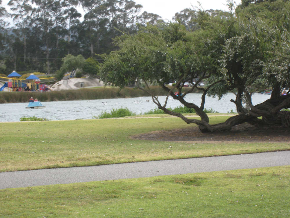
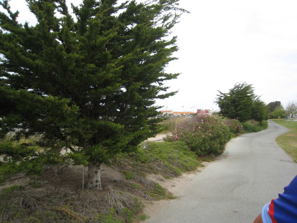
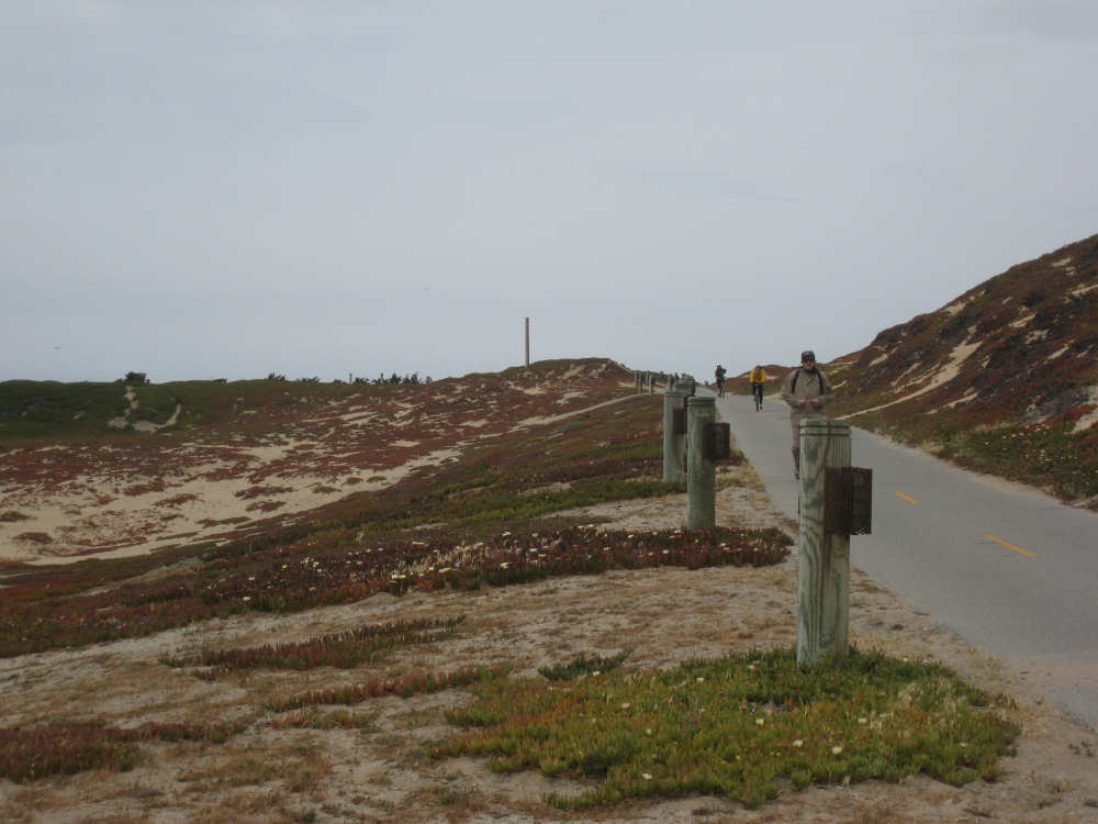
The bike path took us into Monterey and we came to the Monterey State Beach, which had a lovely park with a water channel through it. There were several people out in paddleboats on the water and walking, biking, and roller blading in the park. Our route took us away from Fisherman's Wharf and the Aquarium, which would have been nice to see, but the traffic in that area was pretty dense. So we went off on the bike path, which I expected to be very scenic, but after one spot with a good view of the Monterey Peninsula and the Bay, the water was hidden behind a wall of sand dunes. The dunes themselves were not very picturesque, and it was still very cloudy and chilly - it was a rather disappointing way to finish an otherwise wonderful day.
We arrived at Marina and found our motel very easily, for which we were thankful, checking in at 4 pm. We ended up at 41 miles in 4-1/2 hours of bike time, very glad to be in a motel and not camping again. Tomorrow, we'll be taking a short excursion inland to visit our friend Seth in Aromas.
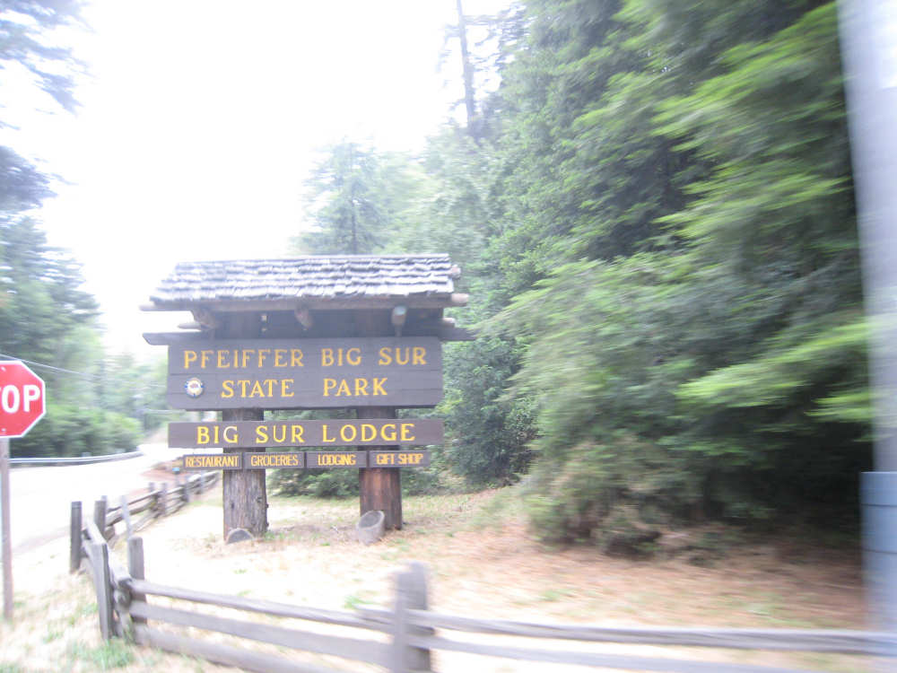
Coming out of the campground where we spent the night |

The road was dark and woodsy |
|

|
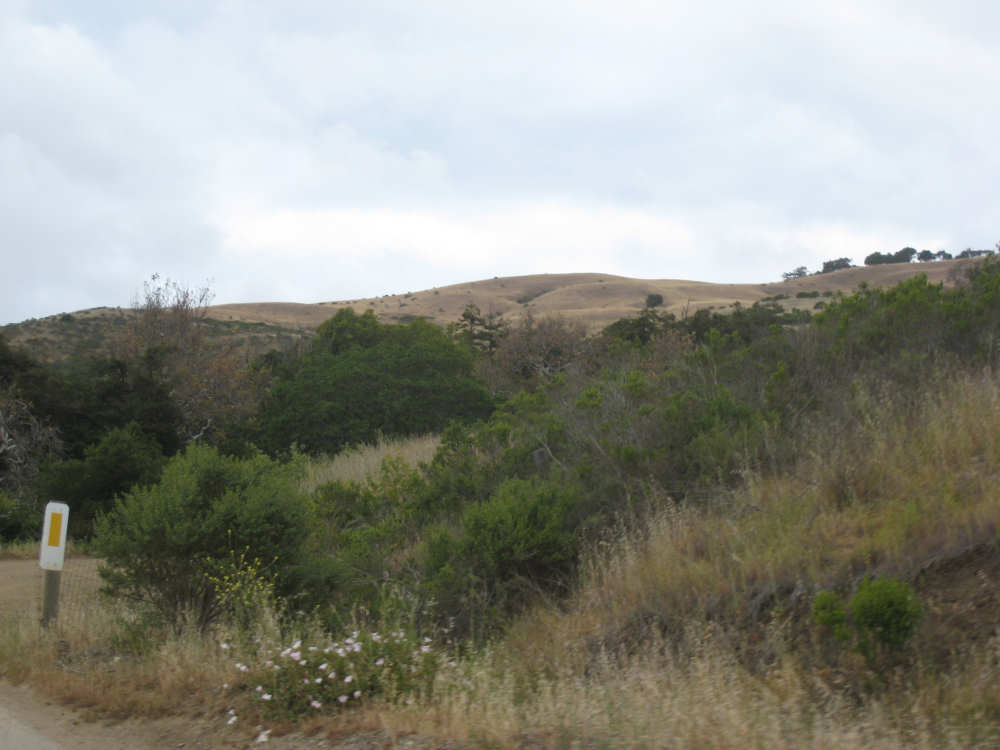
It starts to open up, and we see mountain peaks on one side... |
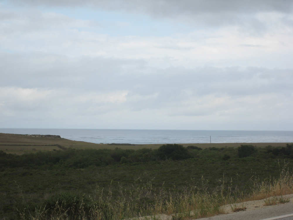
and ocean on the other |
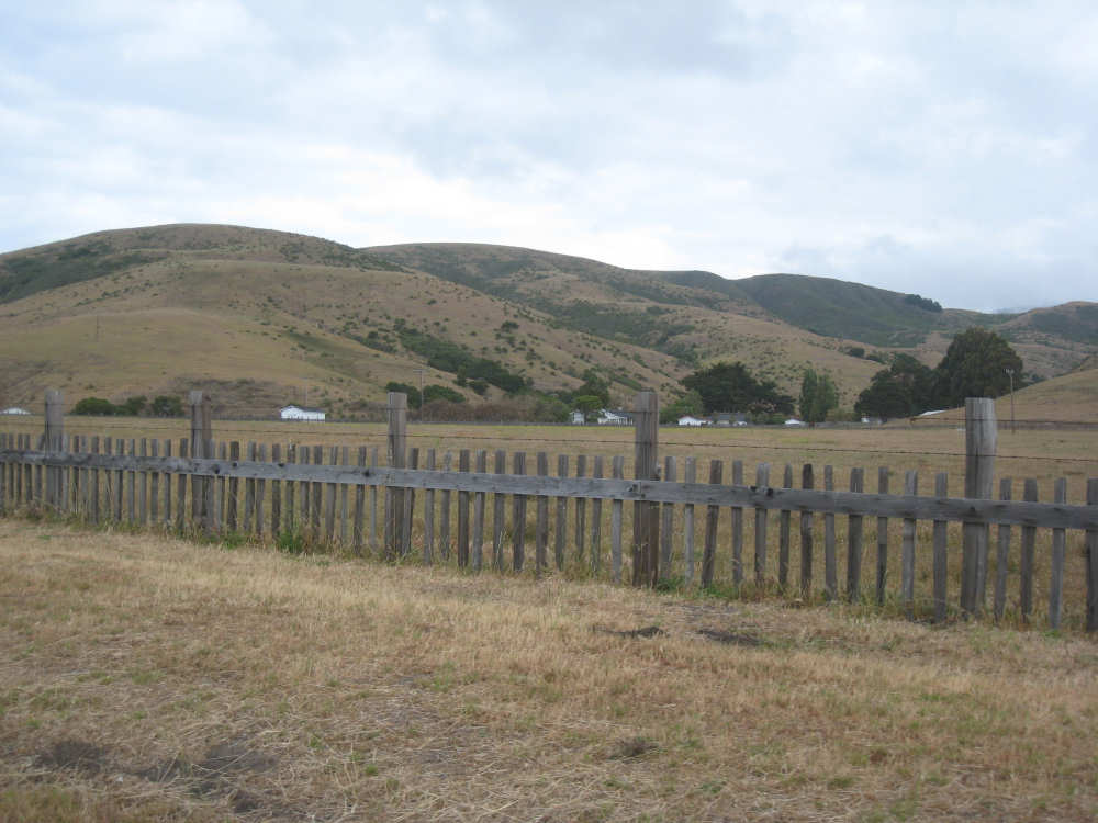
There were some ranch lands along this area |
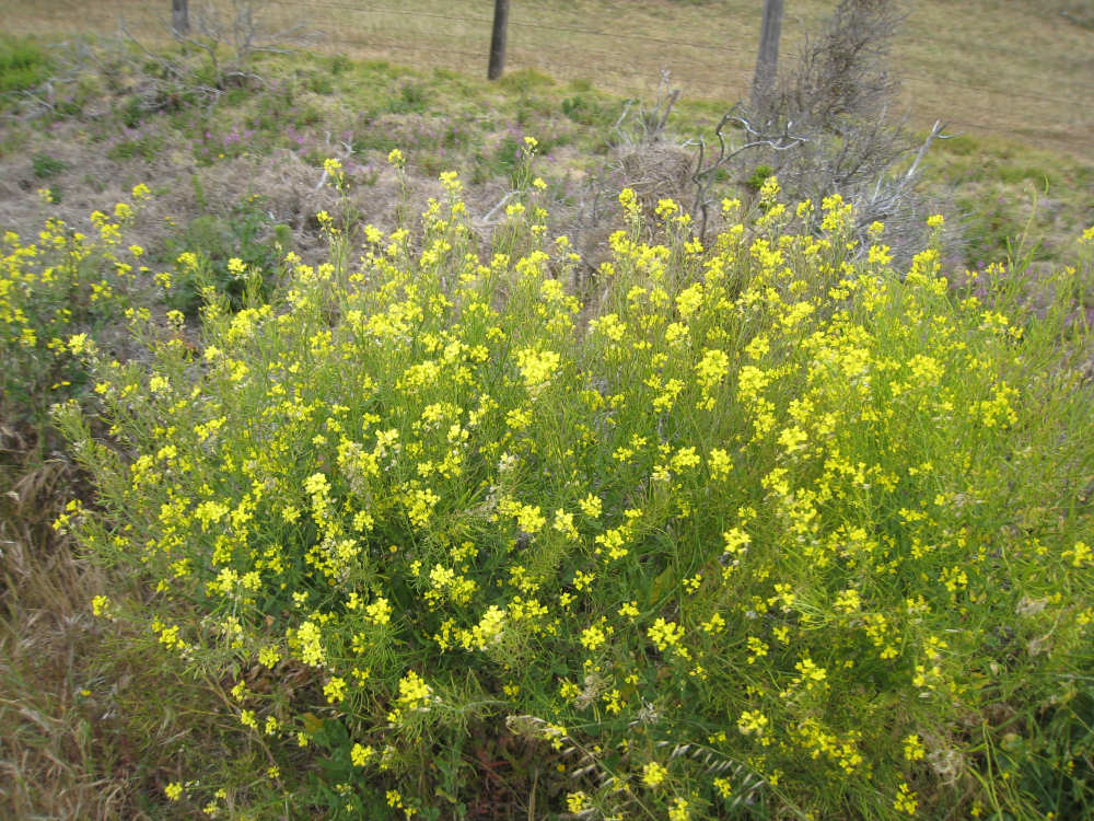
And lots of these yellow flowers along the road |
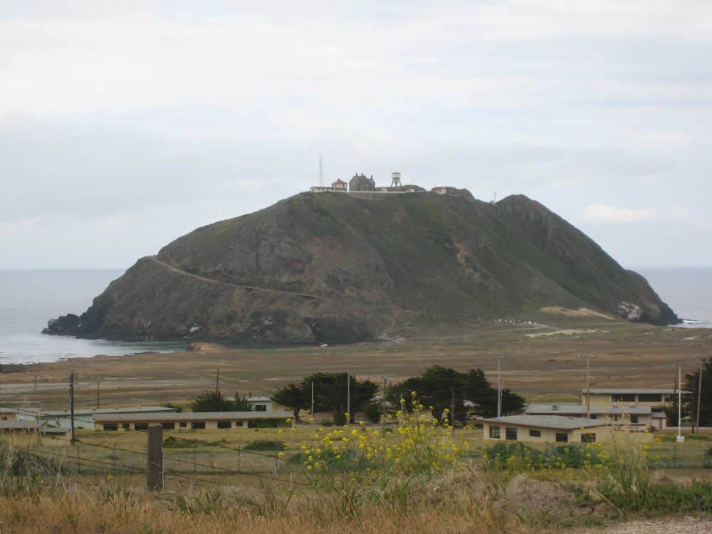
The mysterious hill with house and water tower on top, naval buildings below |

The ocean, looking gray under gray skies |
The hills near the coast looked sandier here |
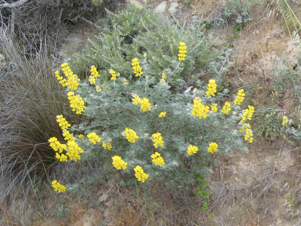
Yellow lupine |
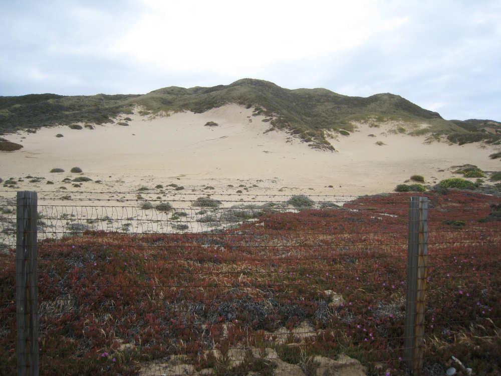
A very sandy area, ice plants (the reddish-brown plants in the foreground) |
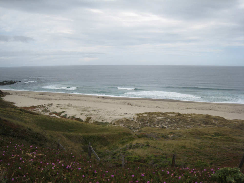
A sandy coast line... |
with cliffs going down to the ocean |
Tall mountains ahead |
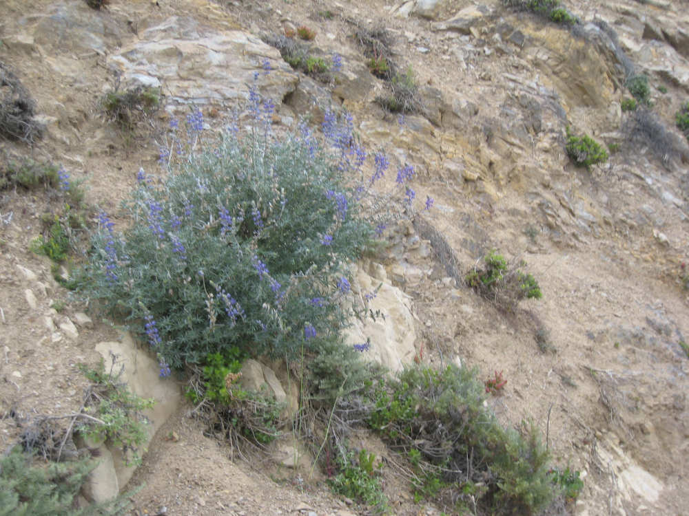
Purple lupine |
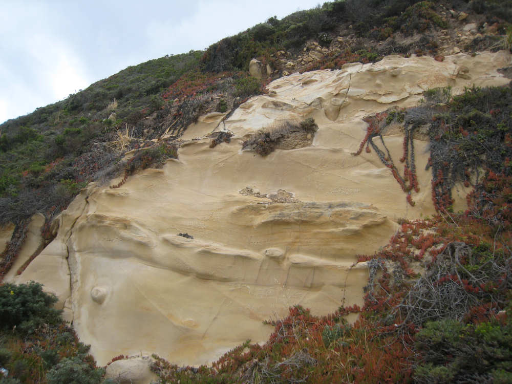
An incredibly beautiful sculpted rock |
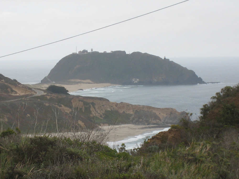
The same hill with a house on top, from more of a distance |
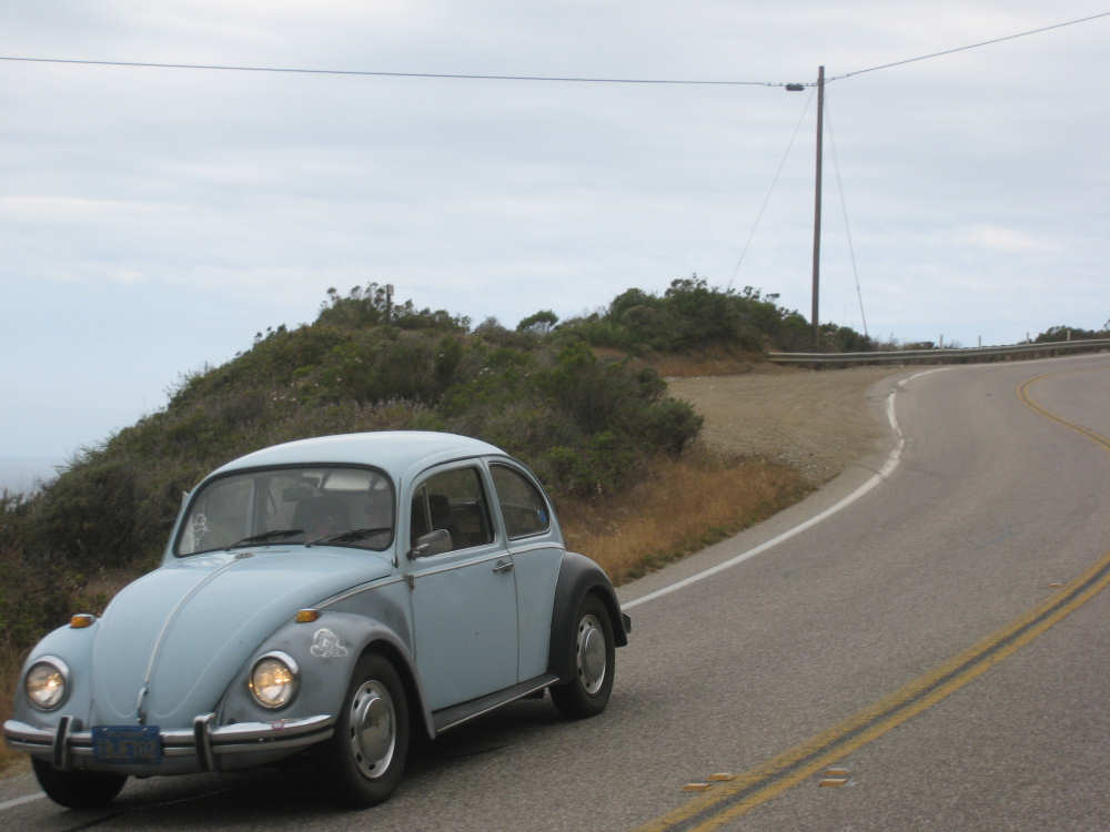
We've seen a large number of old-style Beetles and I finally got a picture of one |
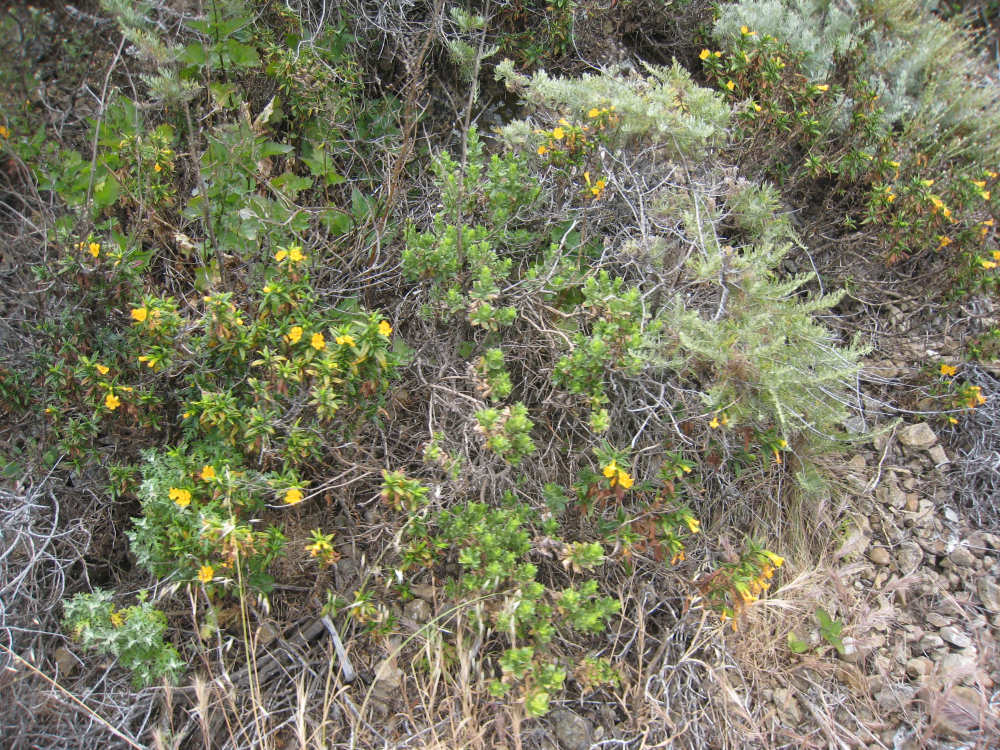
Other pretty yellow-orange flowers - manzanita, possibly? |
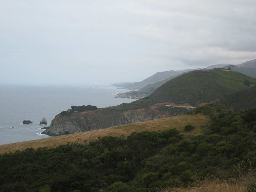
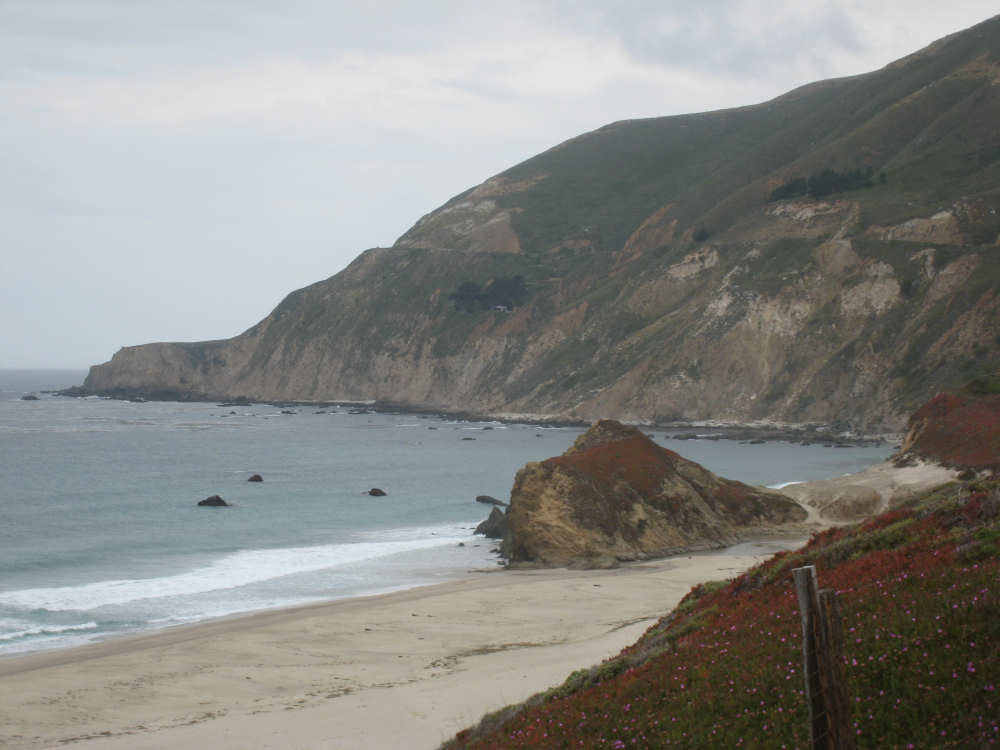
Another beautiful view of the coast |
A splash of water at the bottom of a canyon |
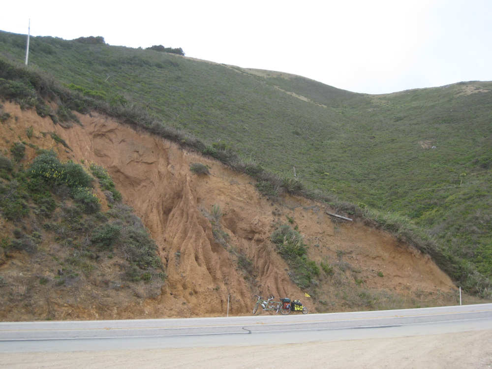
Our bike showing the scale of the mountains beside us |
Another stunning descent to the water |
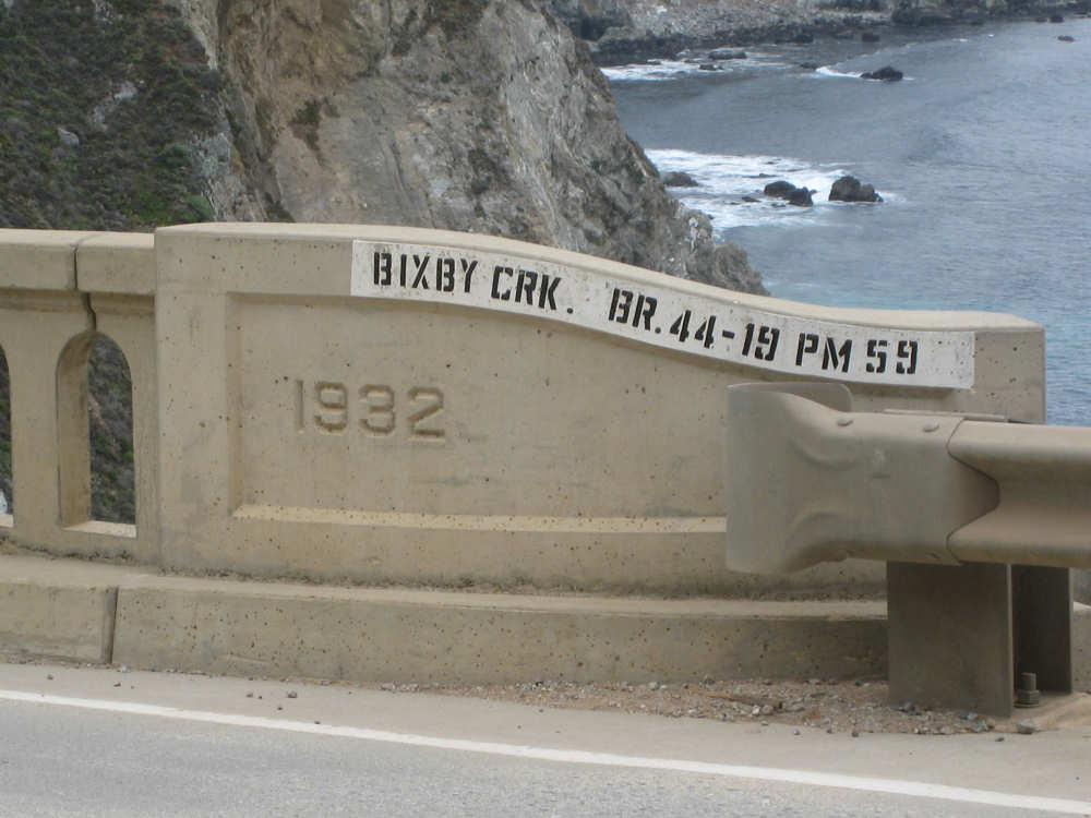
One of the historic bridges, over Bixby Creek |
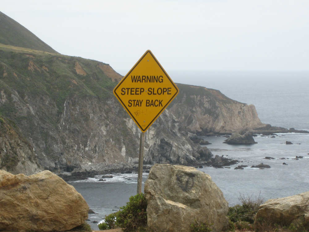
No guard rail next to the bridge, just this sign |

Looking back on the road we just came down (above the brown patch in the middle, |
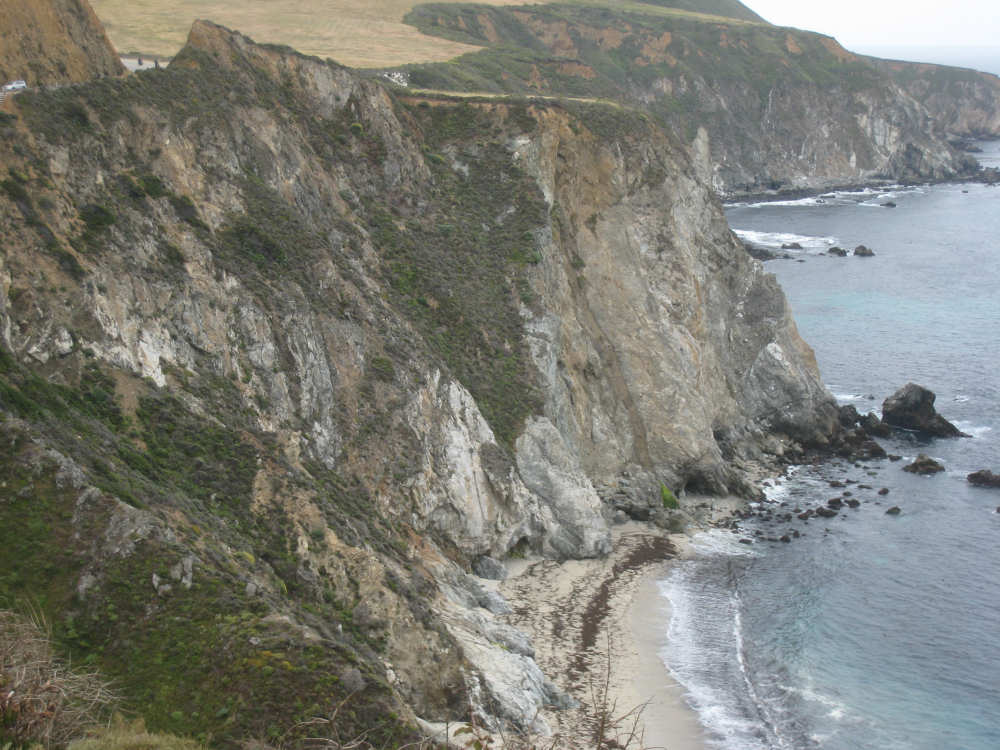
The steep cliff underneath the road... |
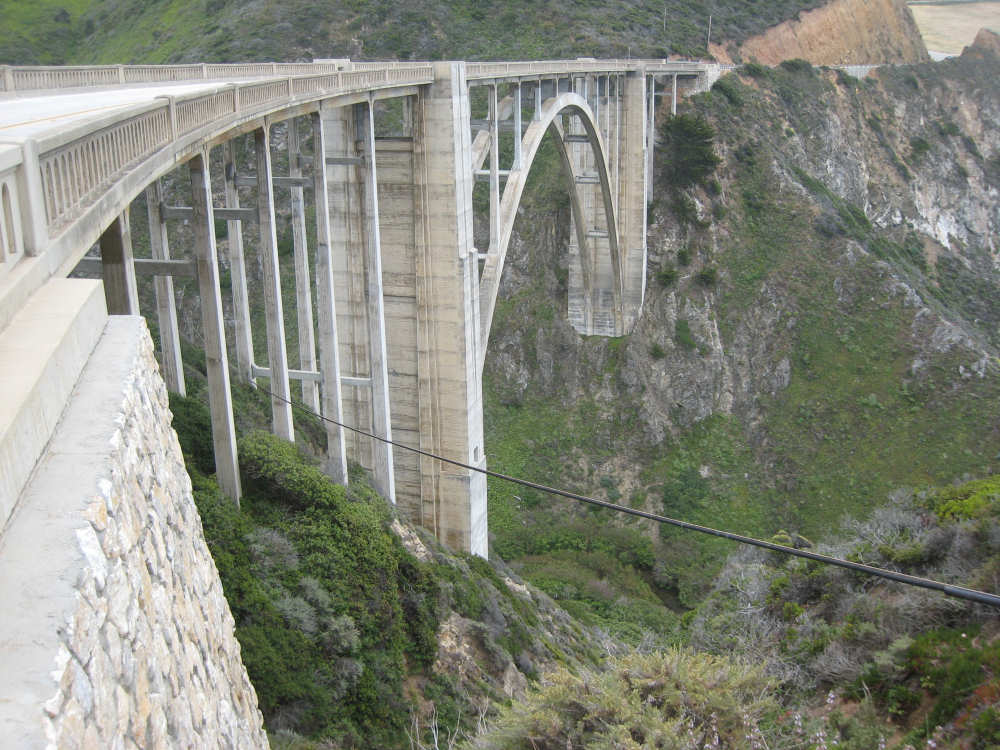
and the Bixby Creek Bridge itself |

Another steep cliff, covered with ice plants |

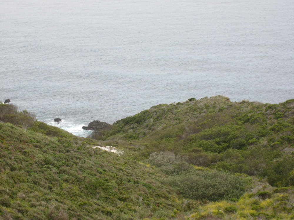
A relatively calm ocean at a flatter spot |
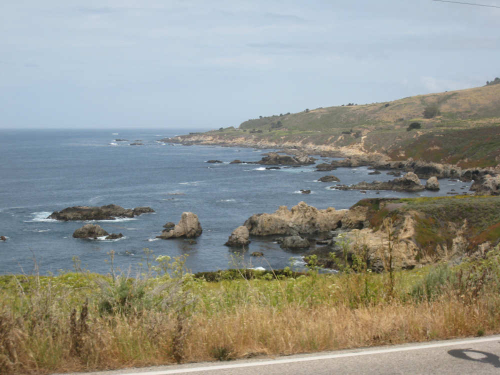
A rocky area |
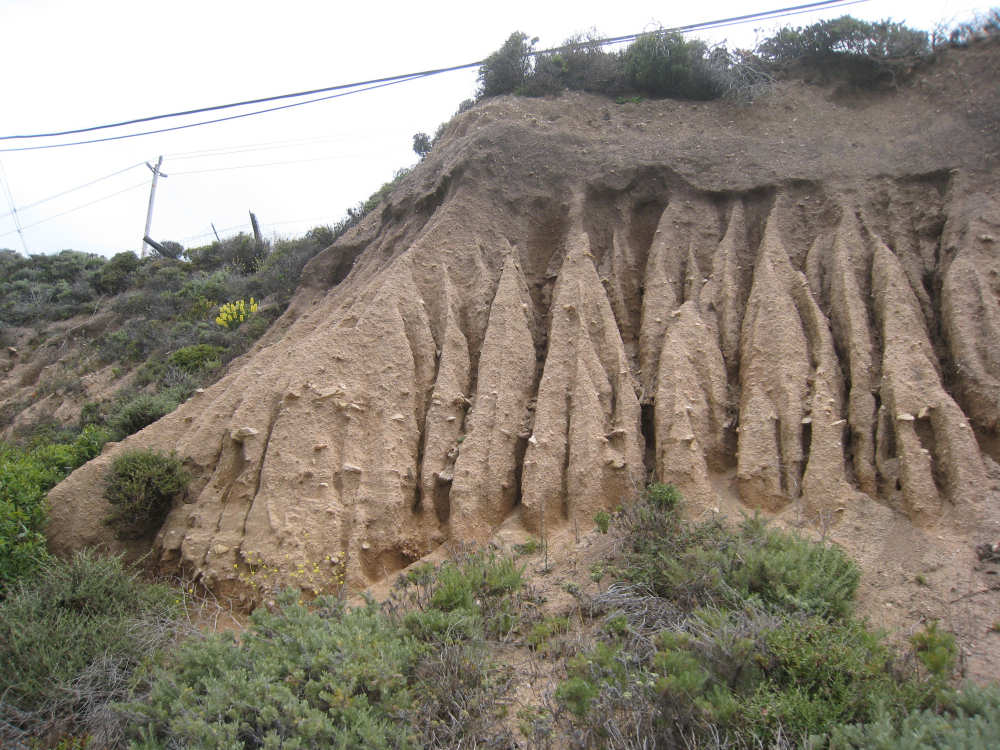
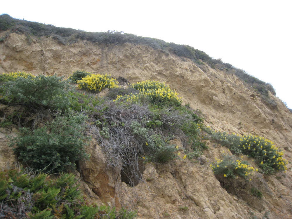
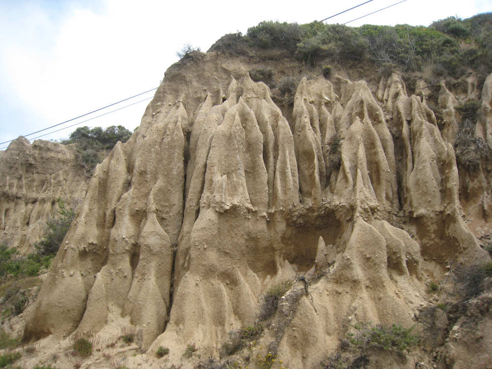
Interesting erosion patterns in the softer earth |
|

Coming into Carmel Highlands, back to the woods... |
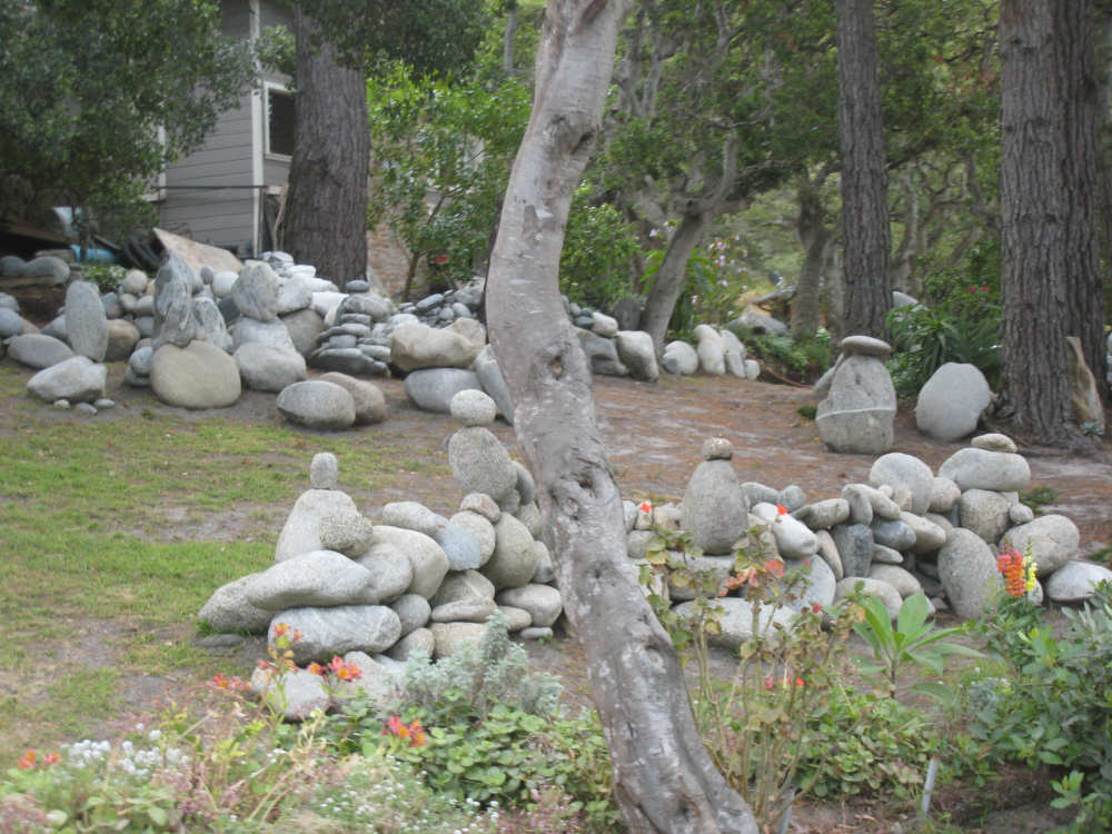
and an interesting sculpture garden... |

with a sense of humor (sign says Gravity at Work) |
The Carmel River (Lake?) - the city is on the hills behind it |
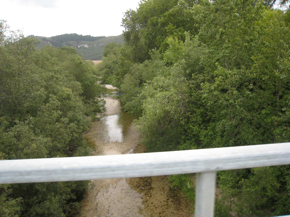
The real Carmel River |
Looking back on the valley Carmel is nestled in, as we start up the hill beyond it |

Entering the Monterey Park |
Little blue paddleboats in the water |
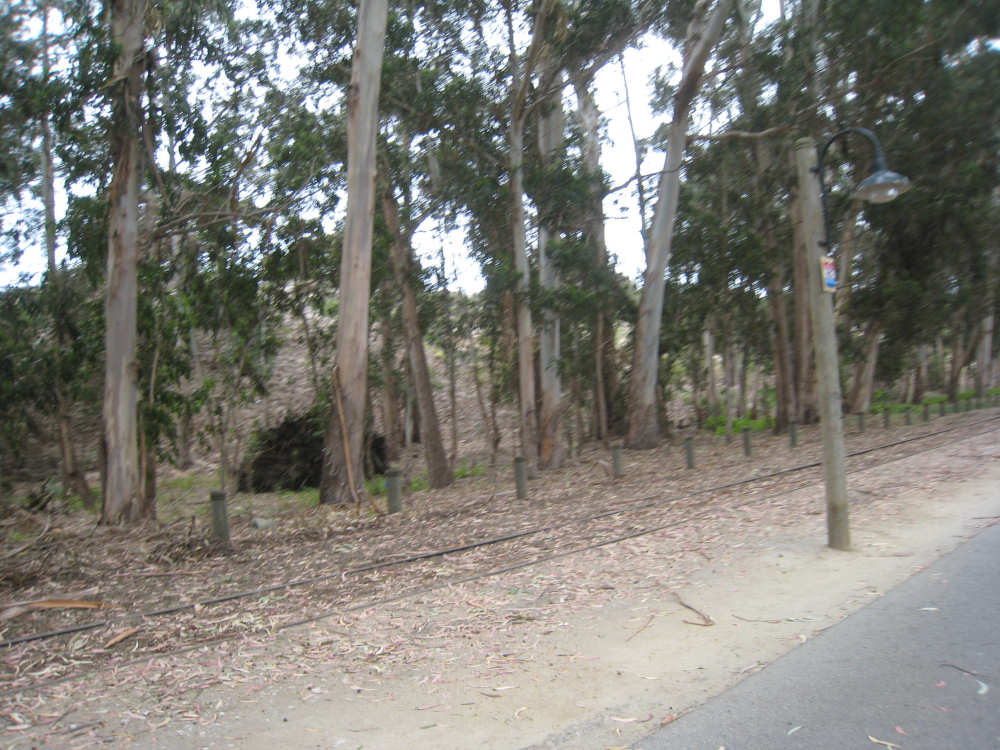
The bike path in Monterey, lined with eucalyptus trees and a railroad track |
Farther along the path |
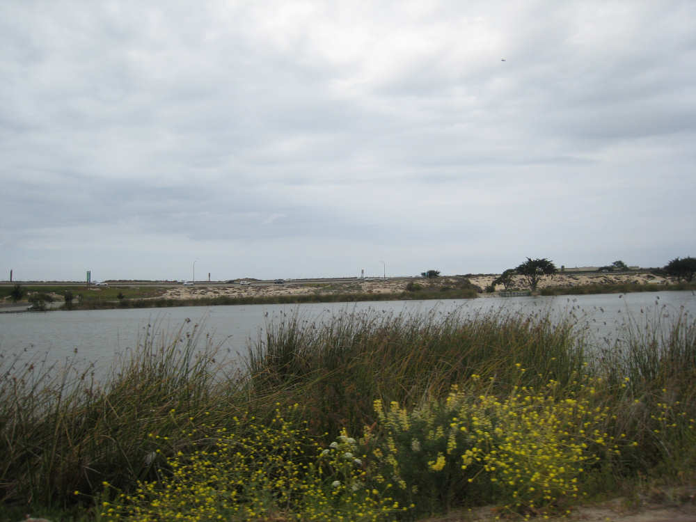
A channel of water with sand dunes on the other side |
Nice plantings along this stretch of the path |
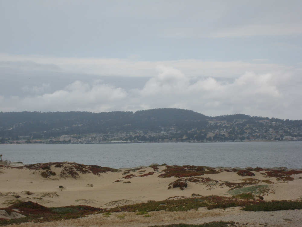
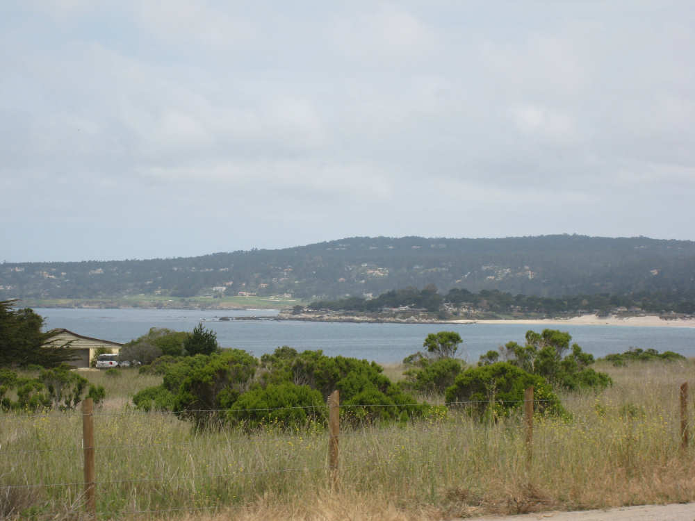
The Monterey Bay with the peninsula in the background |
Ice plants blanket the sand |

The still gray ocean under the grayer skies |
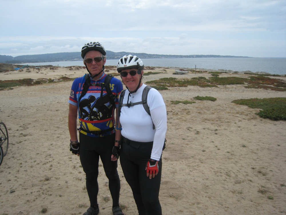
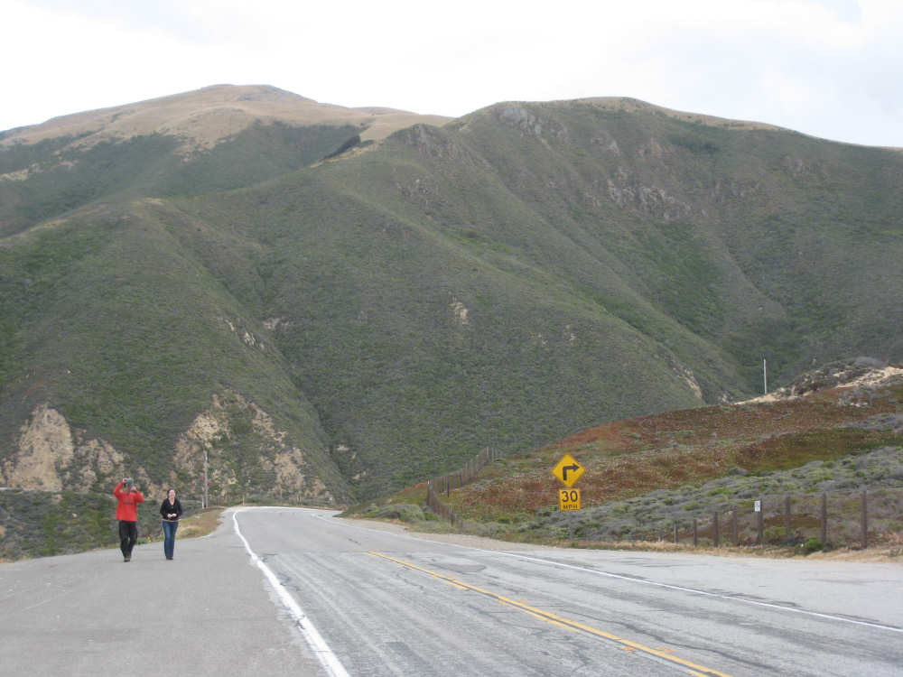
A couple of bikers offered to take our picture in exchange for our taking theirs |

We come to the city of Seaside... |
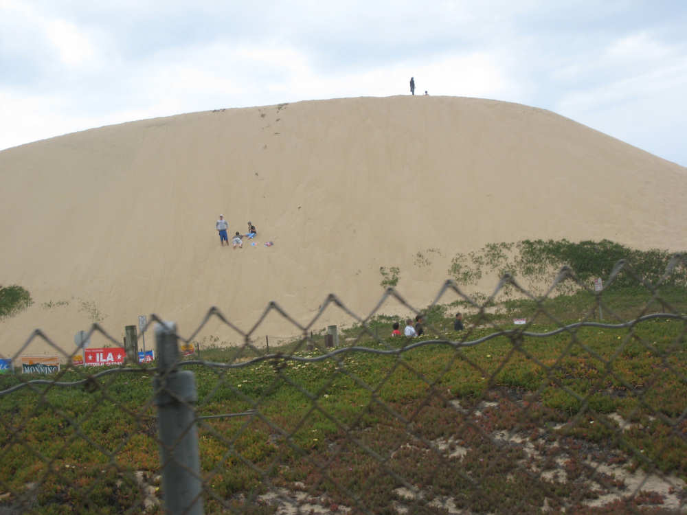
where some kids were playing on an enormous sand dune |

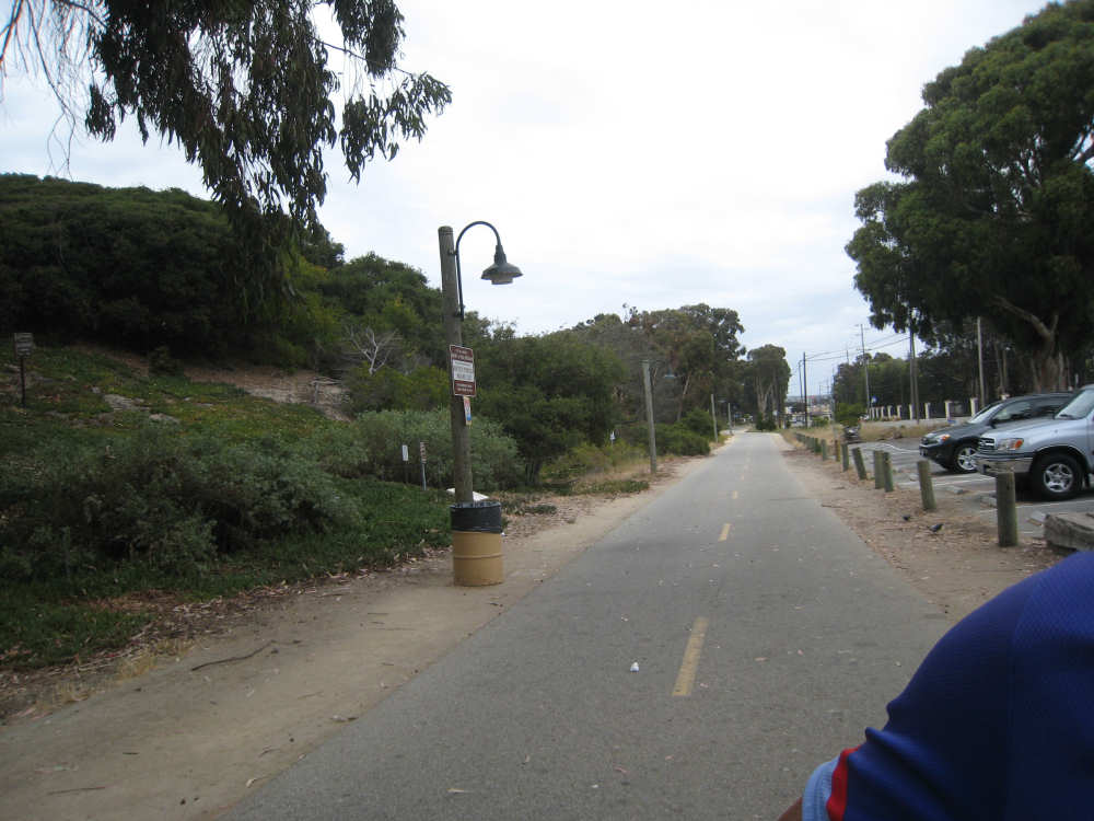
The last stretch of the bike path before Marina |