Tuesday, September 09, 2008
Pittsburgh, PA to Ligonier, PA
41 miles (8793 total miles)
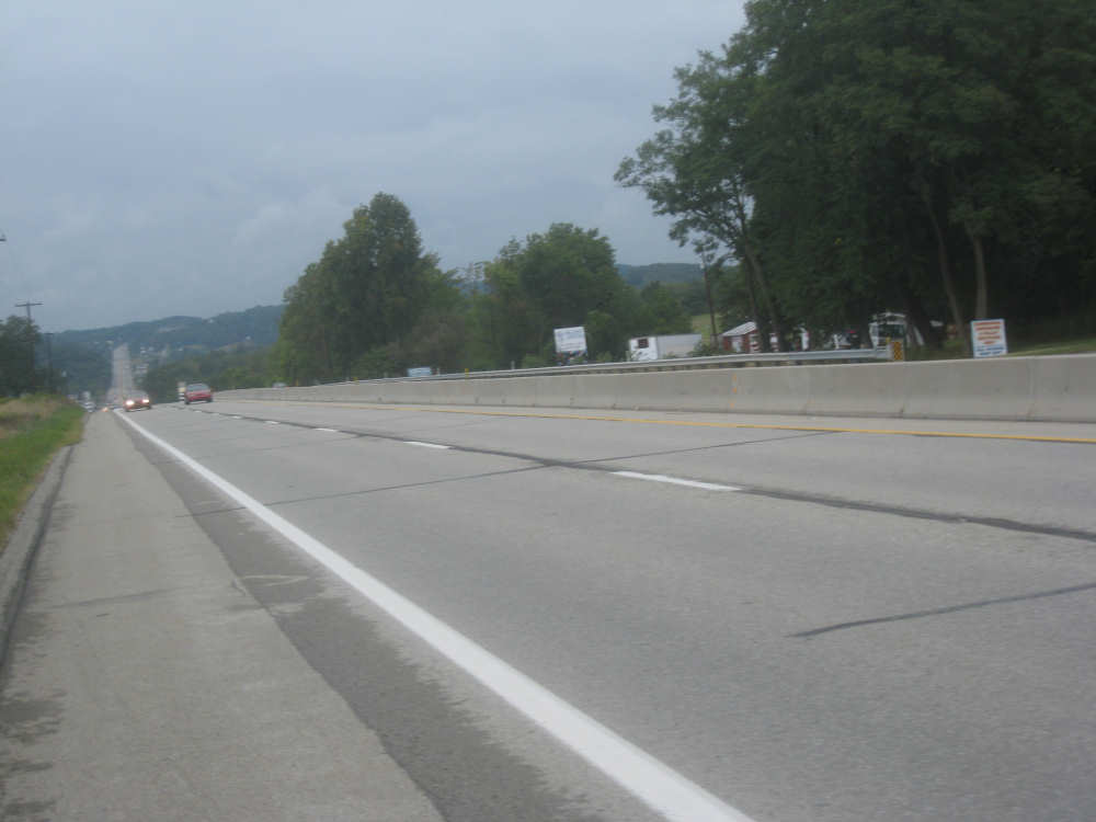
Today was rainy, dreary, and chilly - the complete opposite of yesterday. We started out from our motel at 7:50 with a slight drizzle, and got onto Rt. 30 where we would be all day. The road was narrow with very little shoulder but not a lot of traffic. The rain became heavier and the road became hillier very soon. It seemed like we were going uphill for about an hour and a half, getting steadily more soaked. It was at least a gradual uphill. We were passing through one town after another, it seemed like a solid line of buildings for at least the first 20 miles. Most of the time, we didn't even know what the town names were. I did see some references to Forest Hills, McKeesport, North Versailles, and Irwin, but the towns all looked pretty much the same. We did cross an impressive bridge early on, the George Westinghouse Bridge which had been built in 1931-32. It was quite spectacular and I wished I could have taken a picture, but it was raining too much. Westinghouse was honored for his invention of the railroad air brake and other inventions and for being a pioneer in the electrical industry. The bridge was over Turtle Creek and a wide valley with several railroad tracks, near a plant he owned and ran. Around 10 or 10:30, the rain finally started to let up, although it stayed damp and chilly (luckily, all the hill-climbing was keeping us warm). By 11, we were getting near Greensburg, the largest city we went through today, and we were feeling pretty hungry so we stopped for lunch.
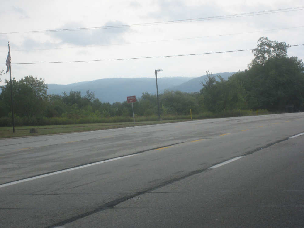
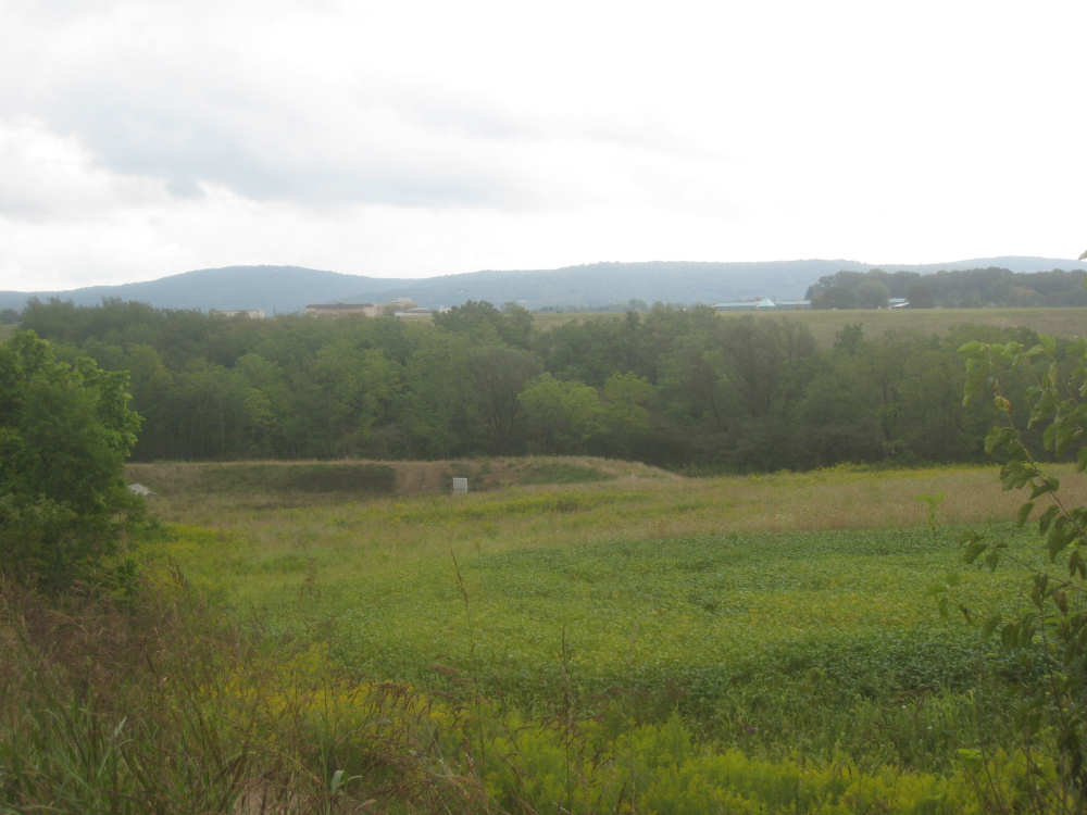
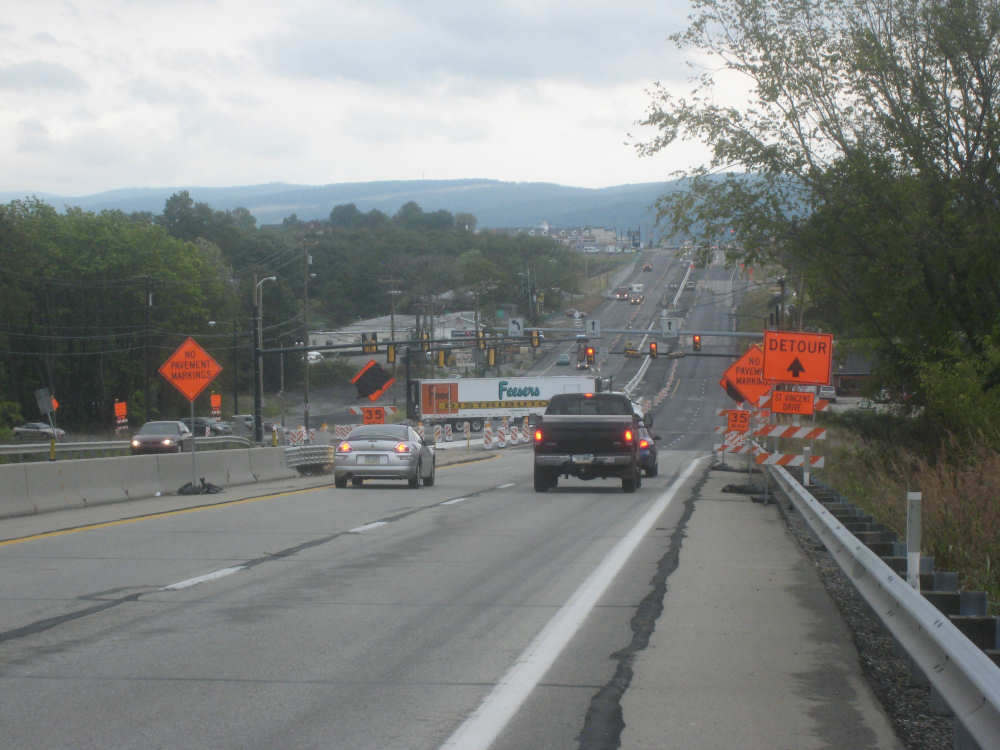
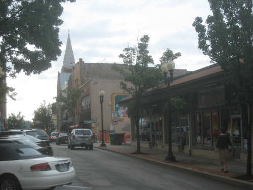
After lunch, we went through downtown Greensburg, since 30 bypassed the town in a big loop to the south. It seemed to be one steep hill after another - it was almost like riding in San Francisco! We went by a city or county building with an impressive dome. The streets near that spot had a nice, artsy ambiance, as well. We also rode by a hospital complex, which I thought was handy in case we keeled over. A number of people stopped and asked about our trip whenever we stopped at a light or to catch our breath. One of them was a writer for a local newspaper, and I was worried that we'd find a news crew following us at some point, but I think we gave them the slip. After Greensburg, things opened up a bit more - less town and more trees (still hilly, though). The road was wider and newer for a stretch, with a good shoulder, so it was a little calmer, but there were also sections of road construction which were awkward. We went past the town of Latrobe (is that where the beer comes from?) and saw signs for the Arnold Palmer Regional Airport, which seemed pretty funny. We were in the Laurel Highlands apparently and we were suddenly able to see the Alleghenies in the not-too-distant distance.
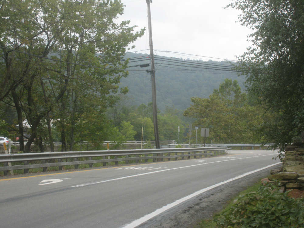
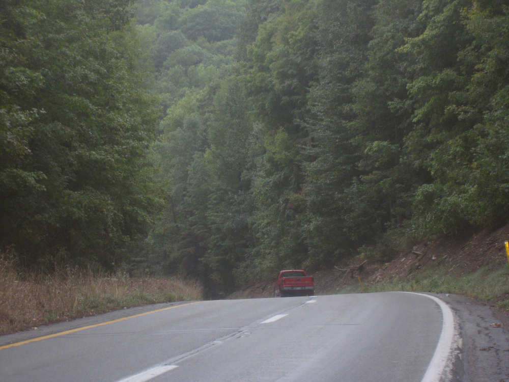
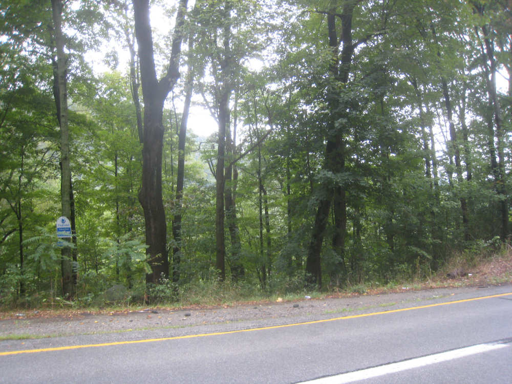
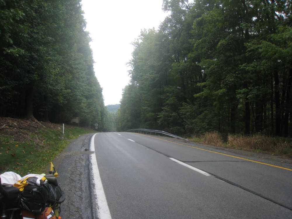
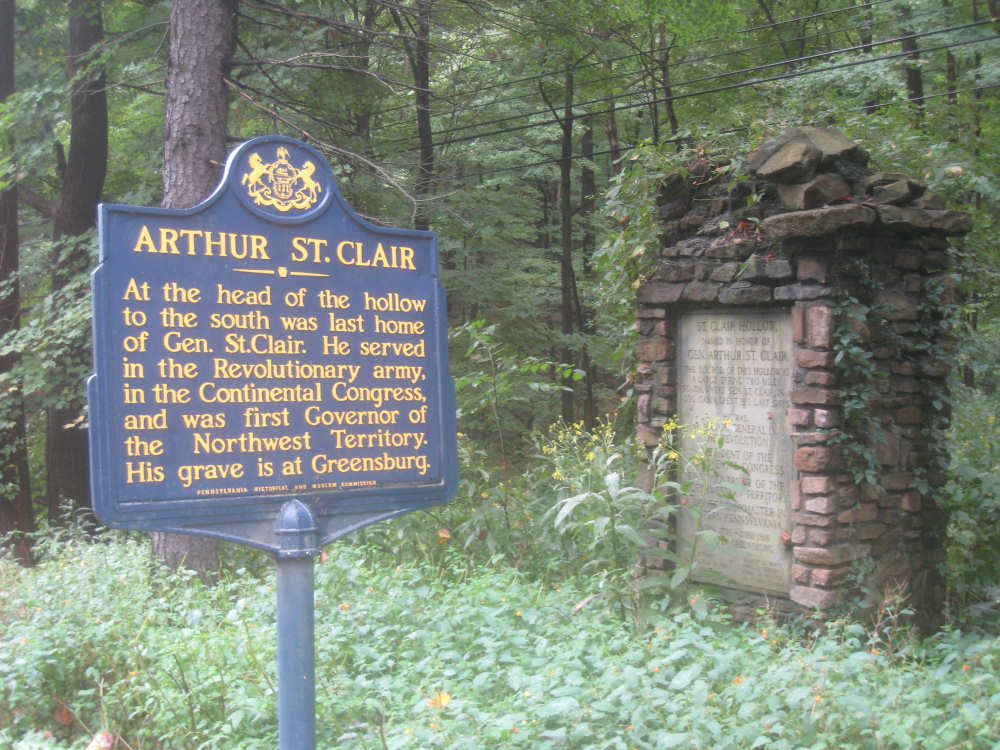
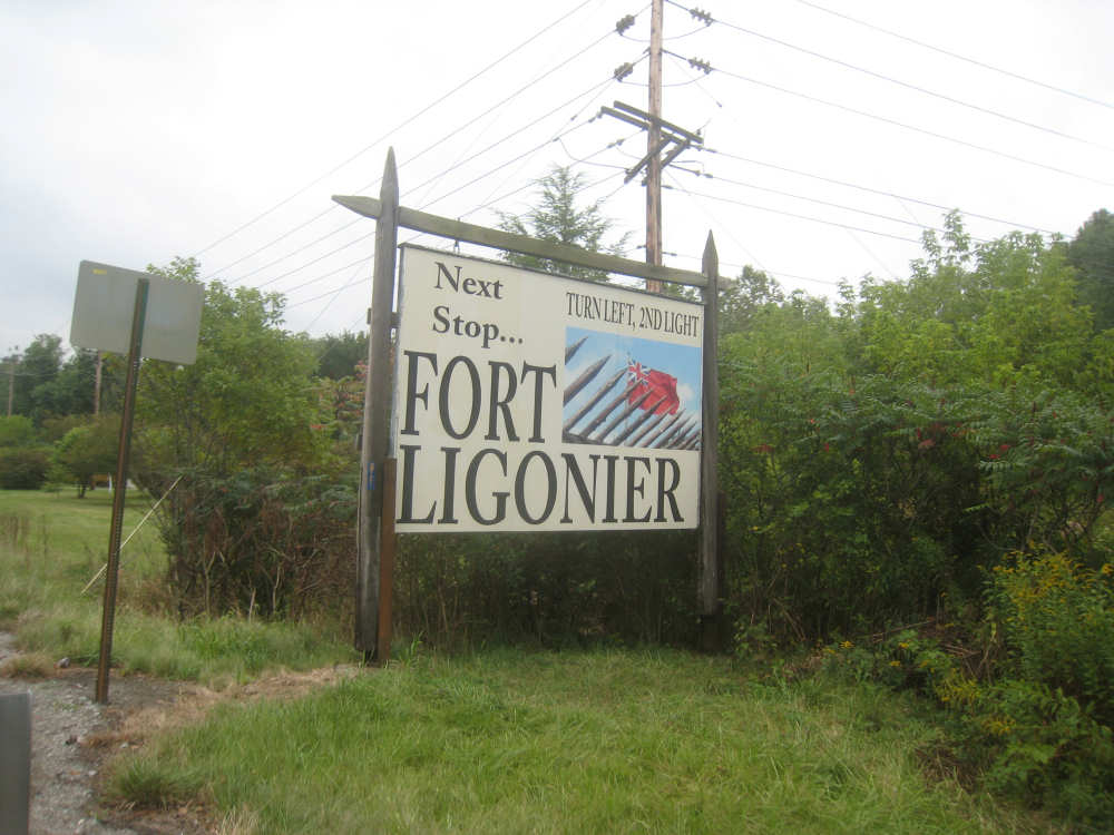
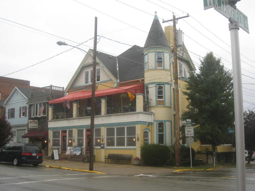
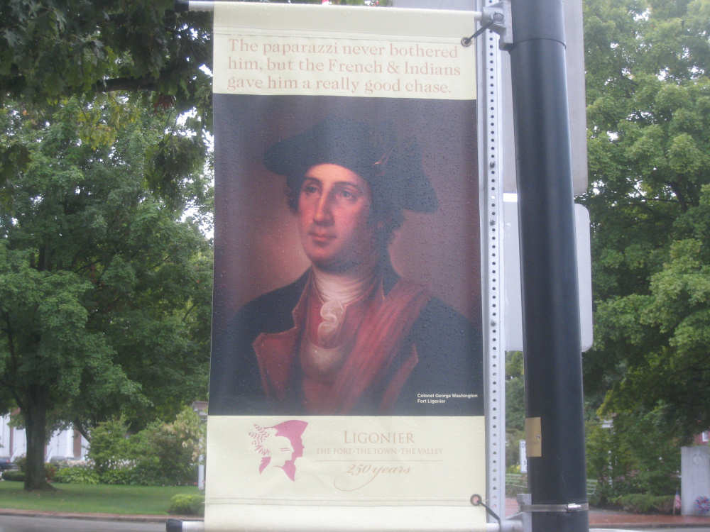
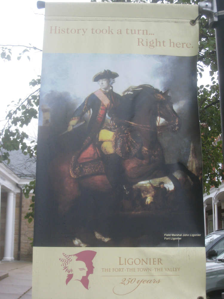
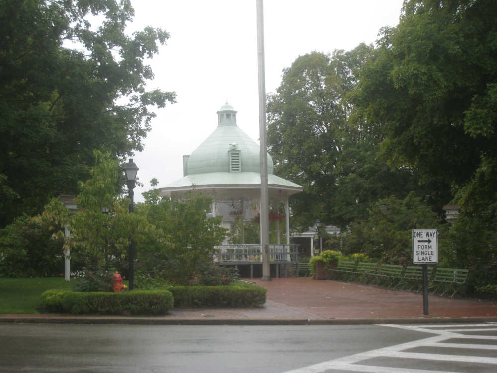
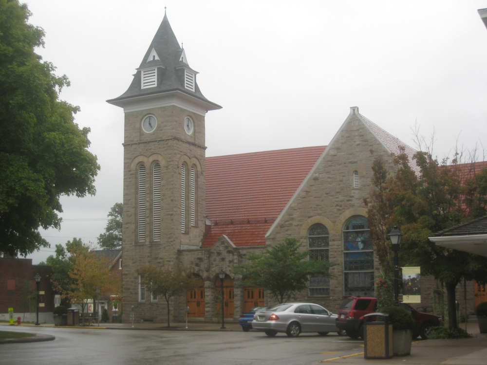
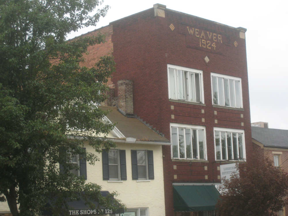
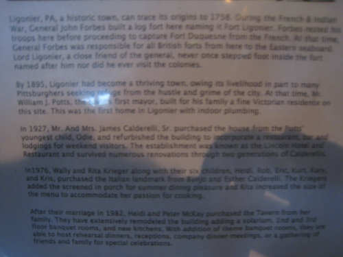
The highway divided after a while and we went through beautifully lush forests, skirting the hills in a relatively flat stretch for a change. We rode along the Loyalhanna River from that point to the end of the day in Ligonier. The road was still narrow and the shoulder was a mess, while the traffic was intermittently heavy. I was beginning to believe that Pennsylvania drivers might just be the worst drivers we'd seen on the whole trip. They drove dangerously fast on this winding, narrow road. We passed a couple of historic markers which we were able to get pictures of. We made it to Ligonier and found our motel without any trouble, got settled and showered, then walked into town for dinner. The town is a pretty, historic, touristy town with a historic tavern and lots of crafts and antique shops. The town square had a lovely park in it with some posters of Washington and, of course, John Ligonier who was a Field Marshal in the British Army in 1758 when the British were trying to oust the French from this region. Fort Ligonier, located here, is a popular tourist site. Idlewild Park is also located nearby, one of the oldest amusement parks in the country.
We arrived at our motel at 2:50, having done 40.6 miles in just under 5 hours of bike time - nearly the same bike time and elapsed time as yesterday, for almost 3 fewer miles (but a lot more climb). Tomorrow we confront the Alleghenies, starting off with a steep, 4-mile climb early in the day. At least it shouldn't be raining, according to NOAA, although it may be foggy in places.

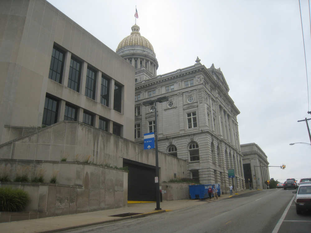
A county building (we think) in Greensburg
|
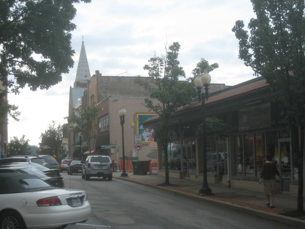
Some shops, a mural, and a church on a downtown street
|
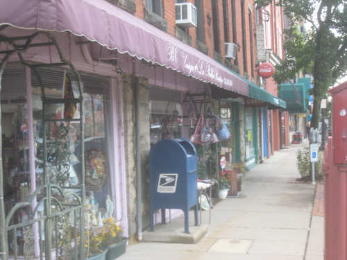
More shops
|
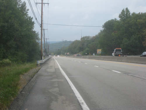
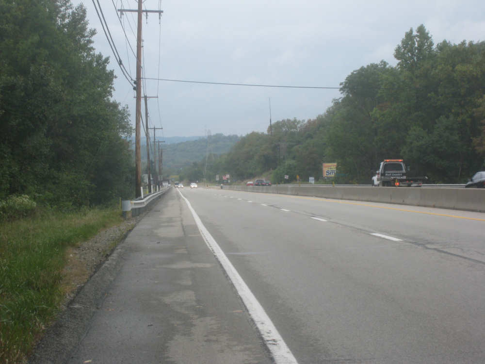
One the hills we just climbed outside of Greensburg
|
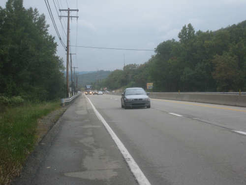
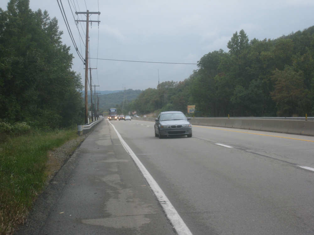
The same hill with a batch of traffic coming up
|
Looking forward, still more climb to go
|

Same hill, more traffic
|

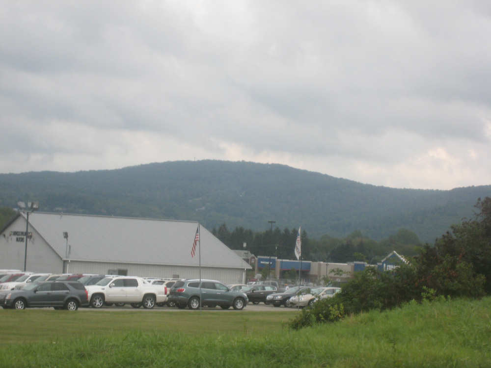
At the top of the hill, a lovely view, with Alleghenies on the horizon
|
No, this is a different hill, but they all looked a lot alike
|
Closer views of the Alleghenies...
|
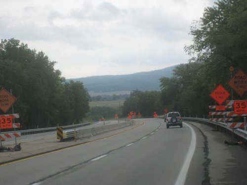
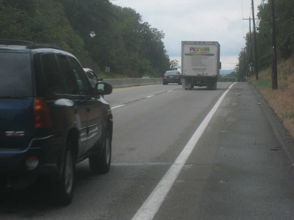
and a bit of construction on the road
|

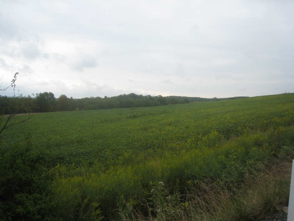
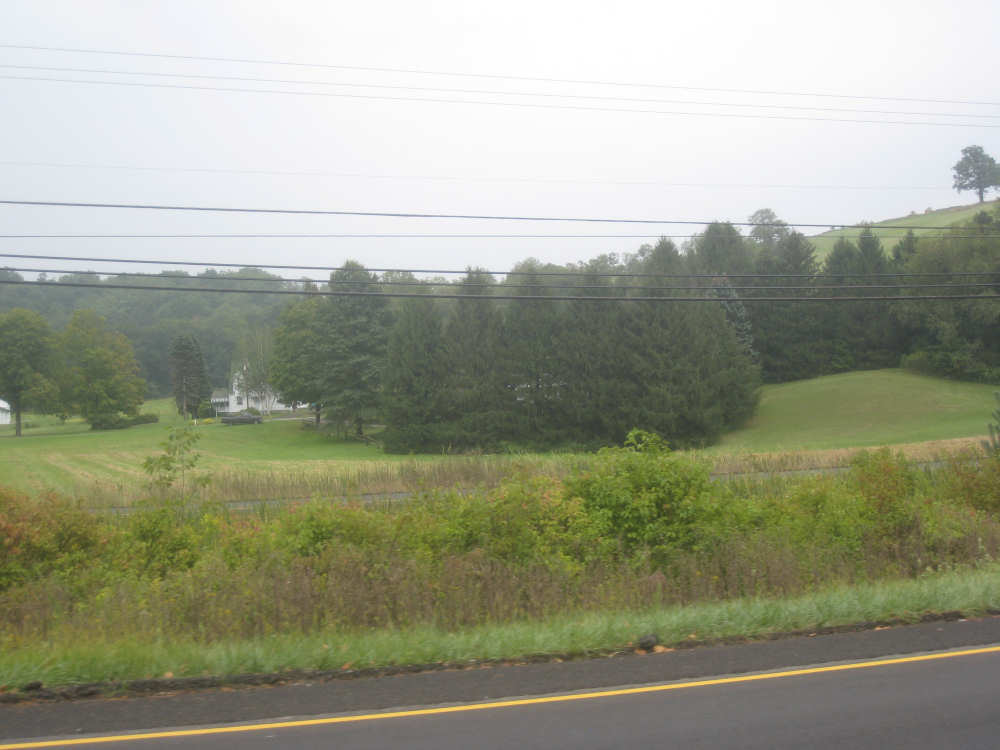
Another lovely field at the top of a hill
|

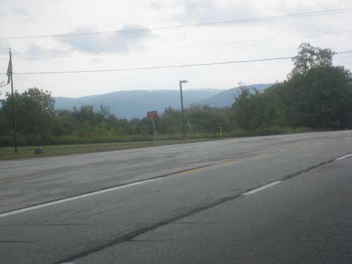
Looking up to the mountains from a low point
|

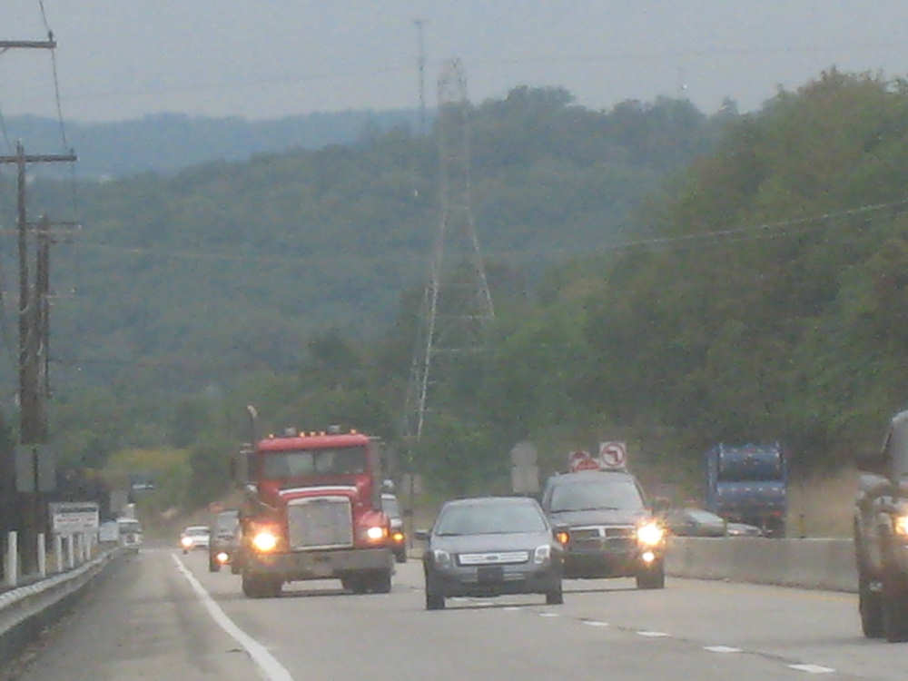
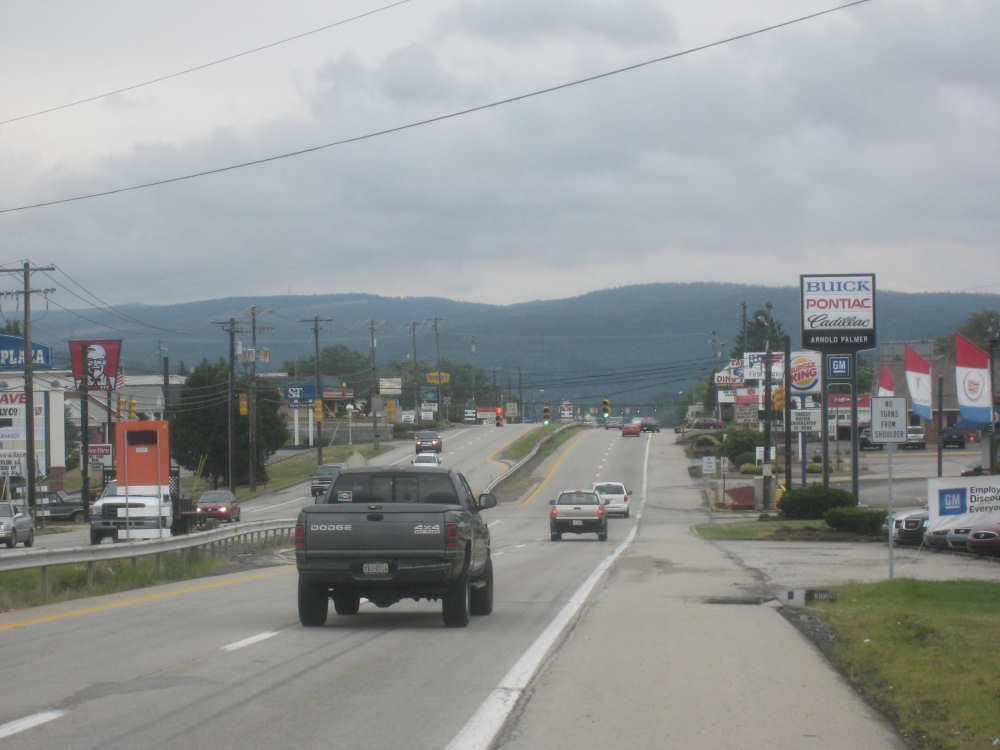
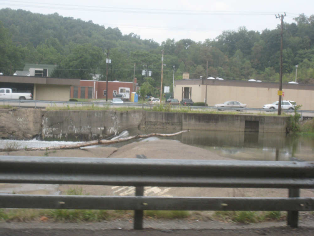
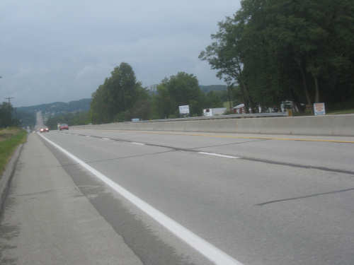
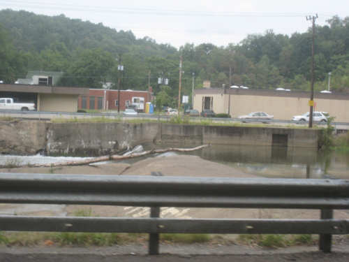
The road was crammed with stores and fast food places
|
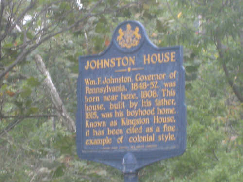
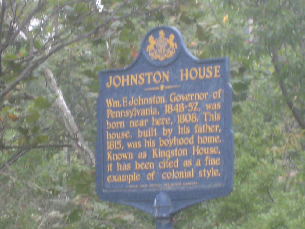
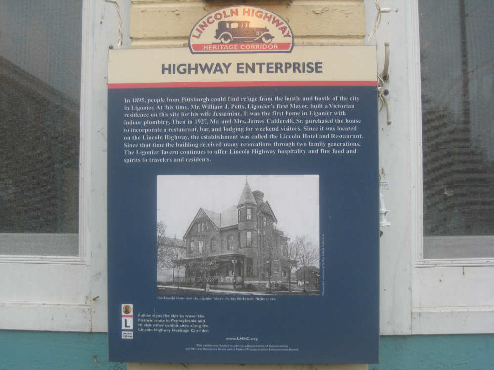
One of the historic markers...
|
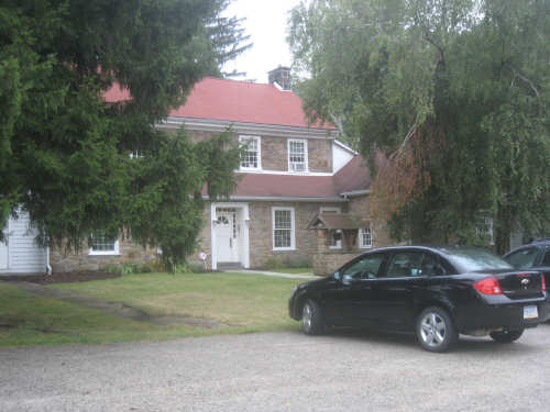
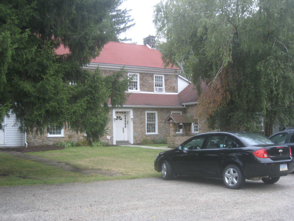
and the house it was speaking about
|
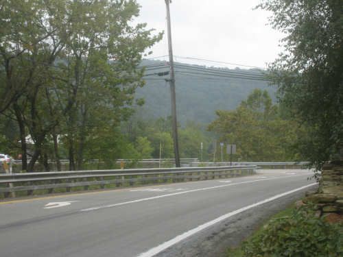
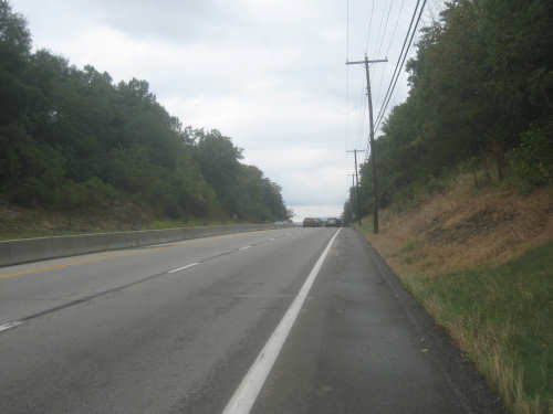
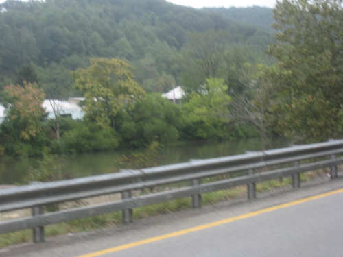
Rt. 30 becomes divided with Loyalhanna Creek between the two lanes
|
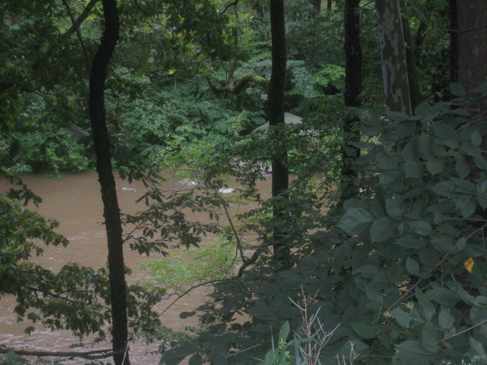
A blurry view of the creek
|
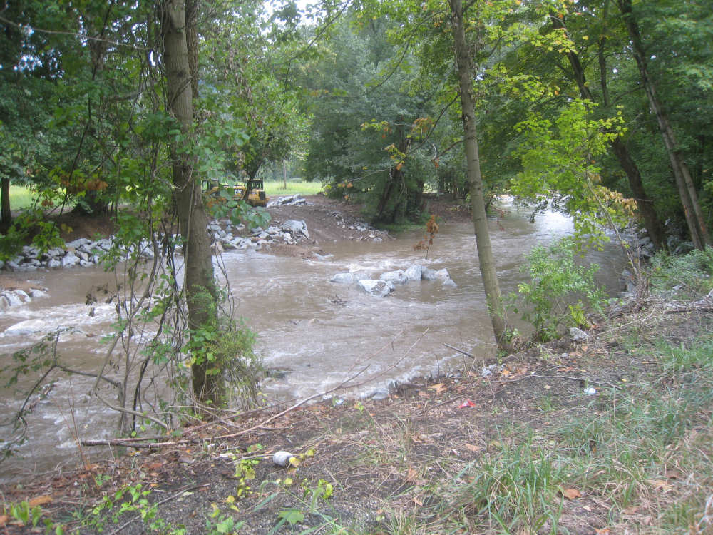
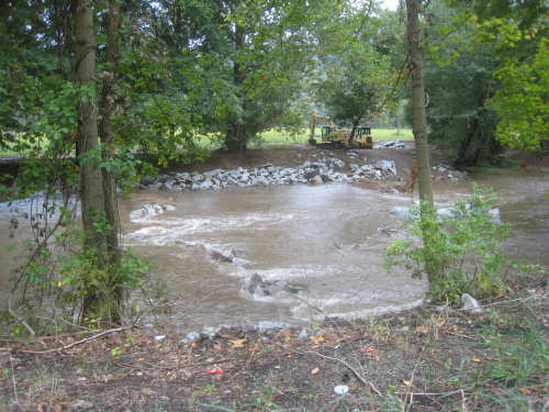
Another view of the creek
|

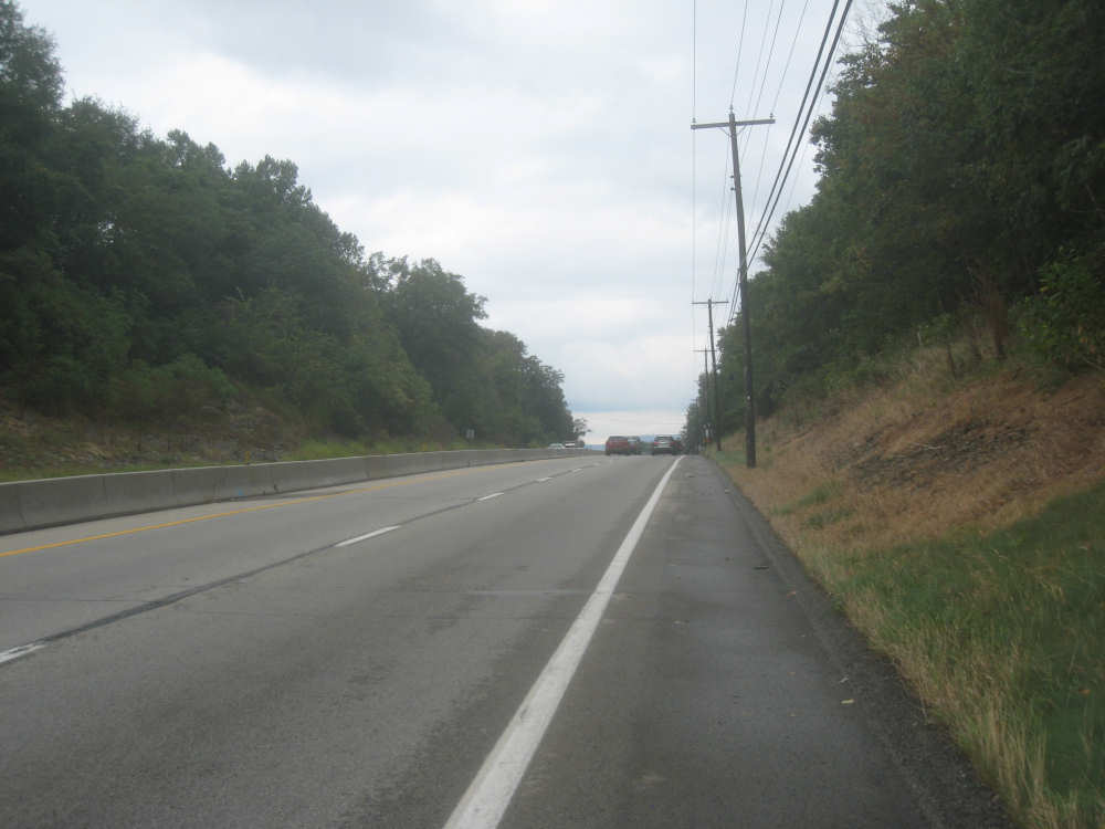
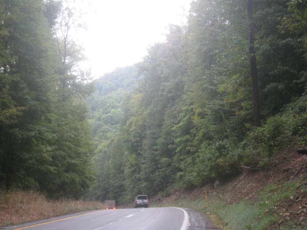
Going through a wooded area with incredibly tall trees
|

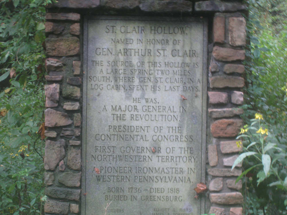
A pair of historic markers
|
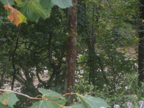
A peek at the Loyalhanna Creek, now to our right
|
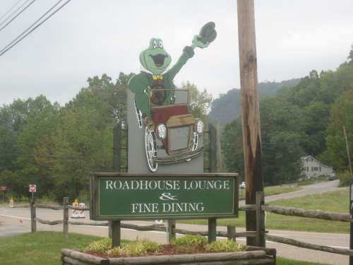
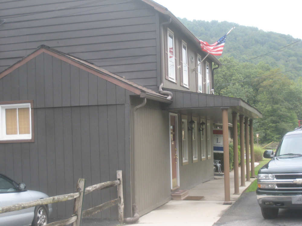
Sign for the Road Toad, a roadhouse-style restaurant
|

The roadhouse itself
|
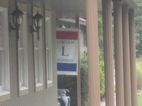
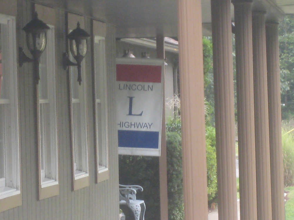
A sign for the Lincoln Highway, as Rt. 30 used to be known
|

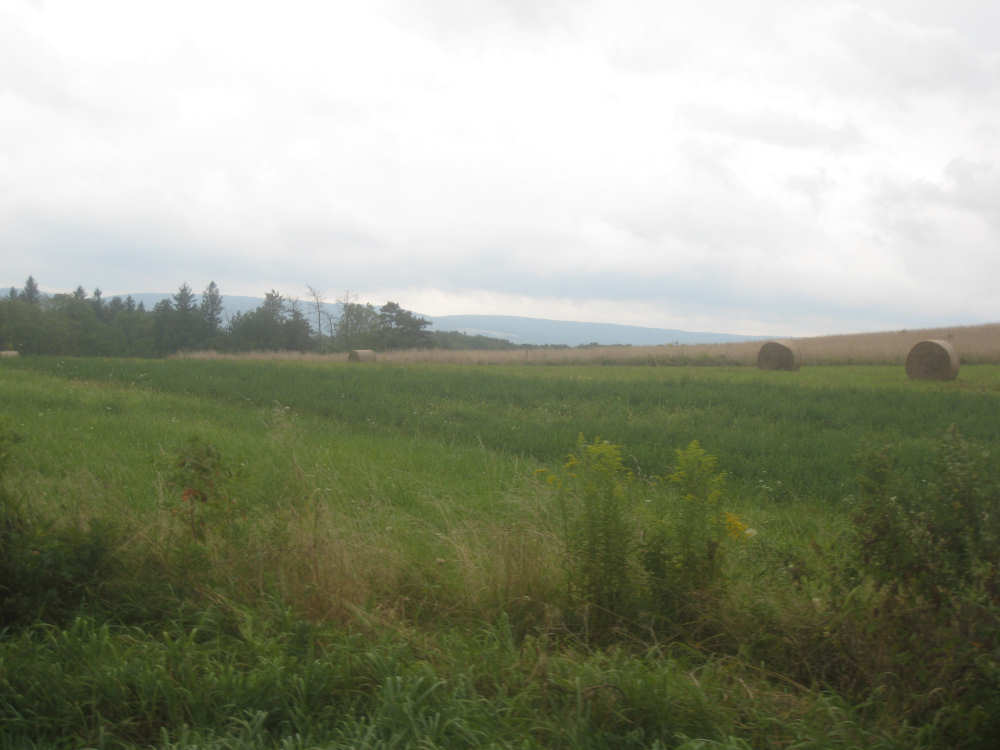
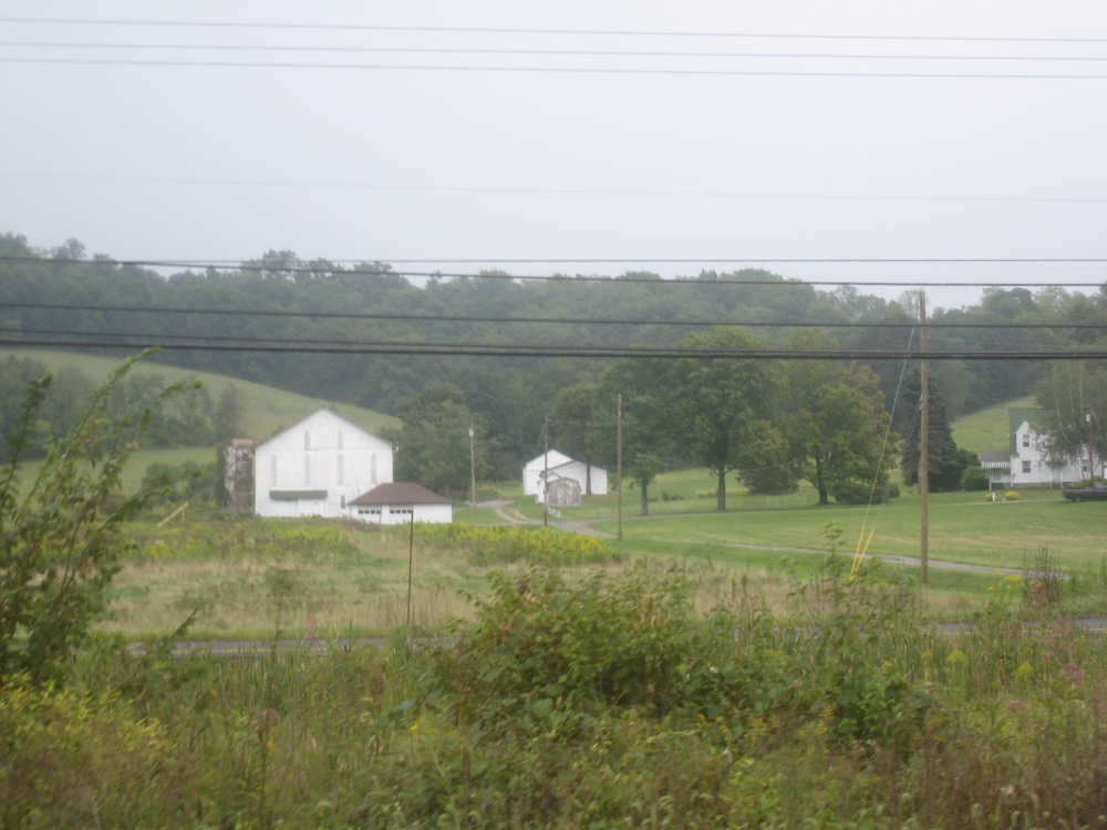
A farm in the lowlands
|
A closer view of the Loyalhanna Creek
|

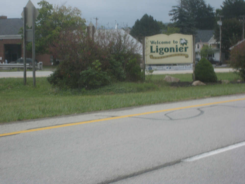
We arrive in Ligonier
|

The tavern downtown
|

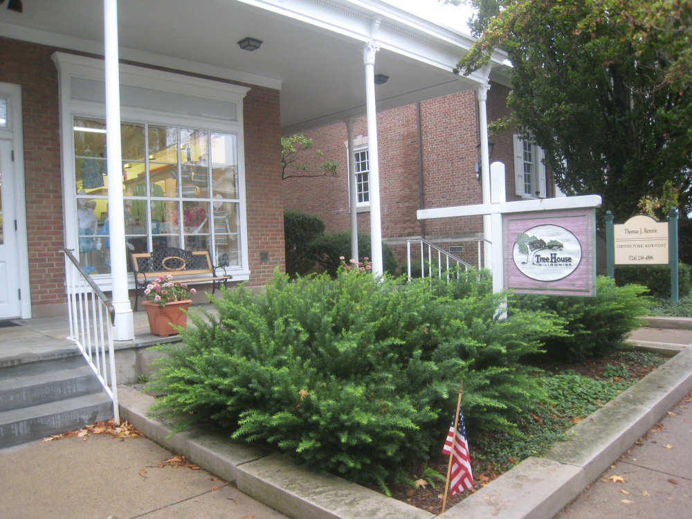
An artsy tourist shop
|
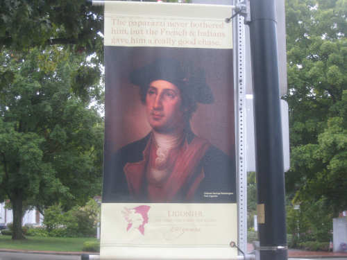
A poster of George Washington during the French and Indian Wars
|

A poster of John Ligonier
|

The gazebo in the middle of the town square
|

An old church on the square
|

More buildings on the main street
|
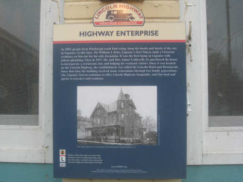
Back to the tavern, a historic plaque...
|
and a history of the tavern, from their menu
|