Sunday, April 20, 2008
Marathon, TX to Fort Davis, TX
56 miles (2611 total miles)
We overslept this morning at the Marathon RV Park. Probably a good thing - we needed the rest and we can't really pack up the tent in the dark. We packed up and had breakfast at the RV Park Cafe with a very friendly group of campers, locals, and restaurant staff. We headed off, expecting a day like yesterday - about 56 miles, about 1000 feet of elevation gain, nothing unusual. The wind was calm when we left camp and the day was already getting warm, bright and sunny like yesterday. Shortly after we left, though, a strong head wind started up and stayed with us most of the day. There were times we had to pedal hard to keep moving going downhill! It made for a very tiring day. We left Marathon at 9:30 (terribly late) and made it to Fort Davis at 5:30. At least tonight we're in a motel which makes a lot of things easier. Tomorrow, we have a very long day, 88 miles, but luckily it will be followed by a rest day. And the wind is supposed to be a lot calmer tomorrow (we hope!).
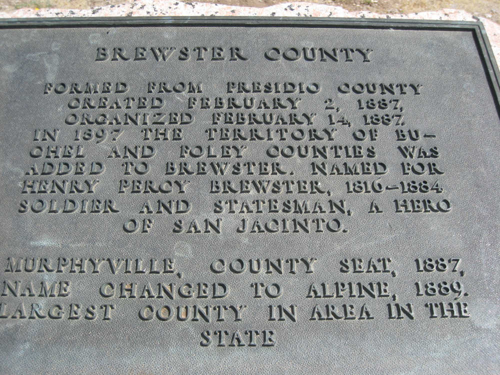
As difficult as the day was, it rewarded us with spectacular views of mountains and grasslands. I hope none of you are getting tired of all the mountain pictures, because today there are a lot more of them. We passed through one town today - Alpine, almost exactly half-way to Fort Davis. It's a fairly large town, about 5,800 people, and is the county seat of Brewster County. It had a university, a regional airport, and a federal courthouse. We had planned to eat at the Edelweiss restaurant, because 2 different people at the RV park recommended it, but it was a little off-route and we were already hungry and tired, so we stopped at the first place we saw that looked good, Penny's Diner. It actually was very good and played oldies music.
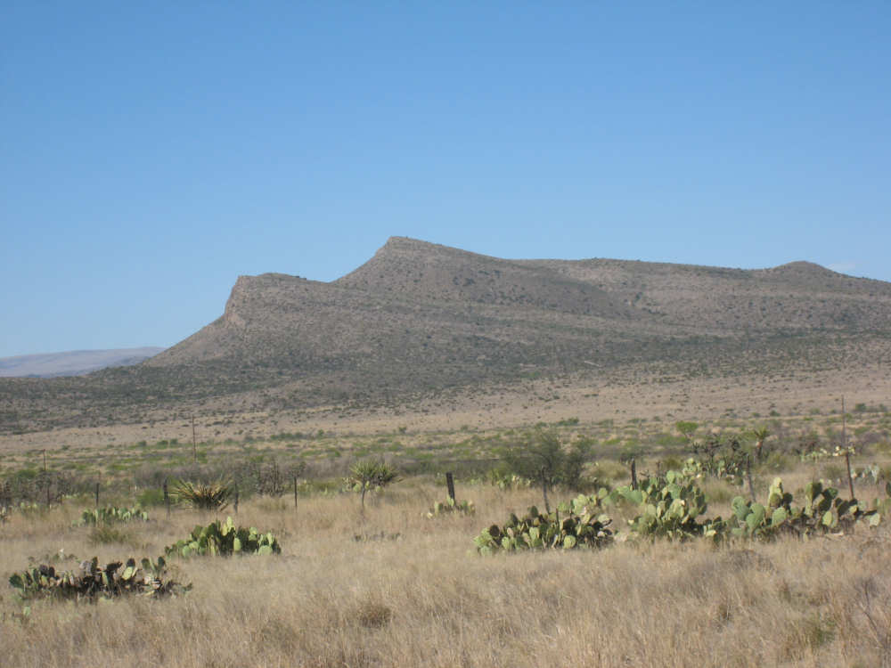
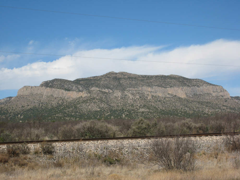
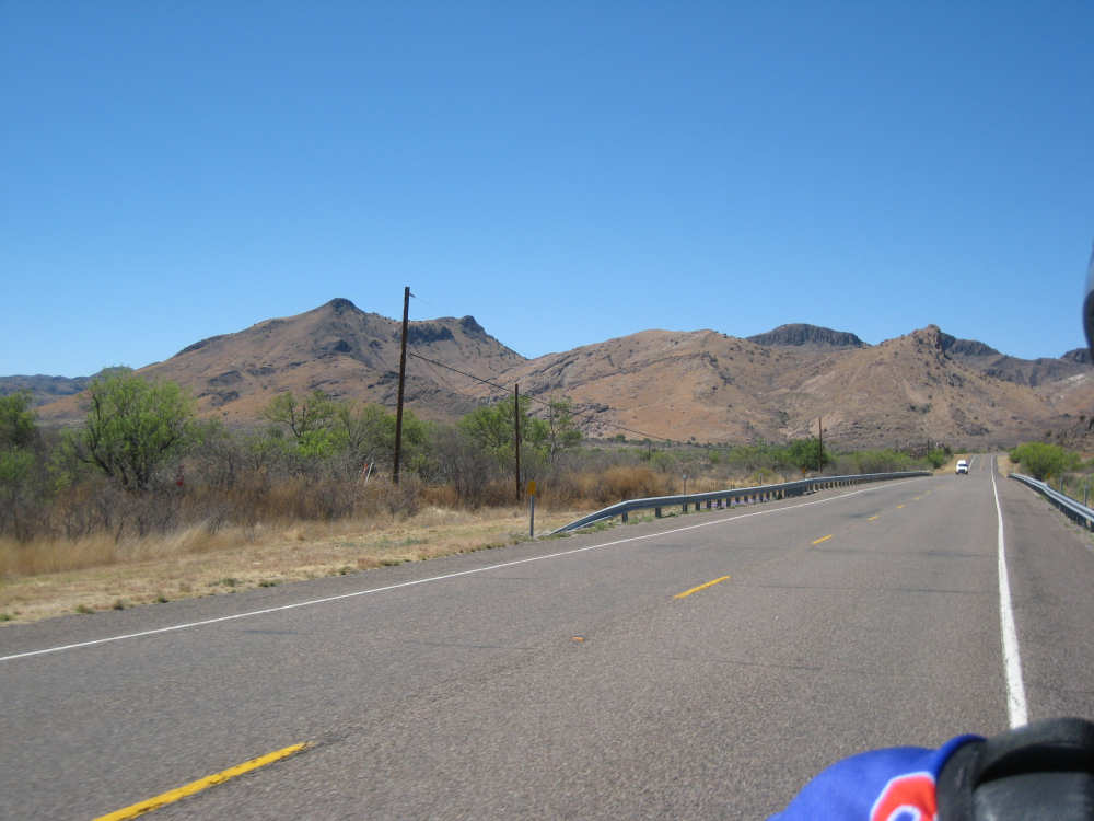
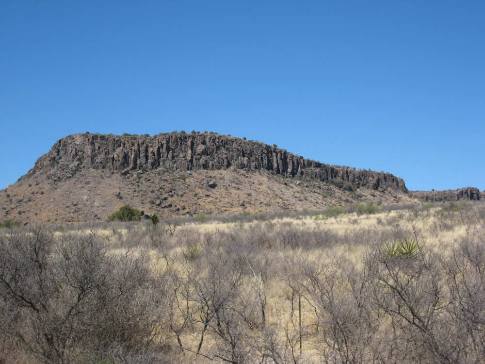
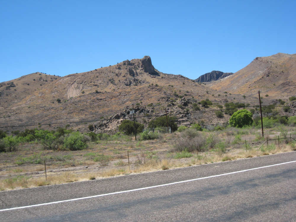
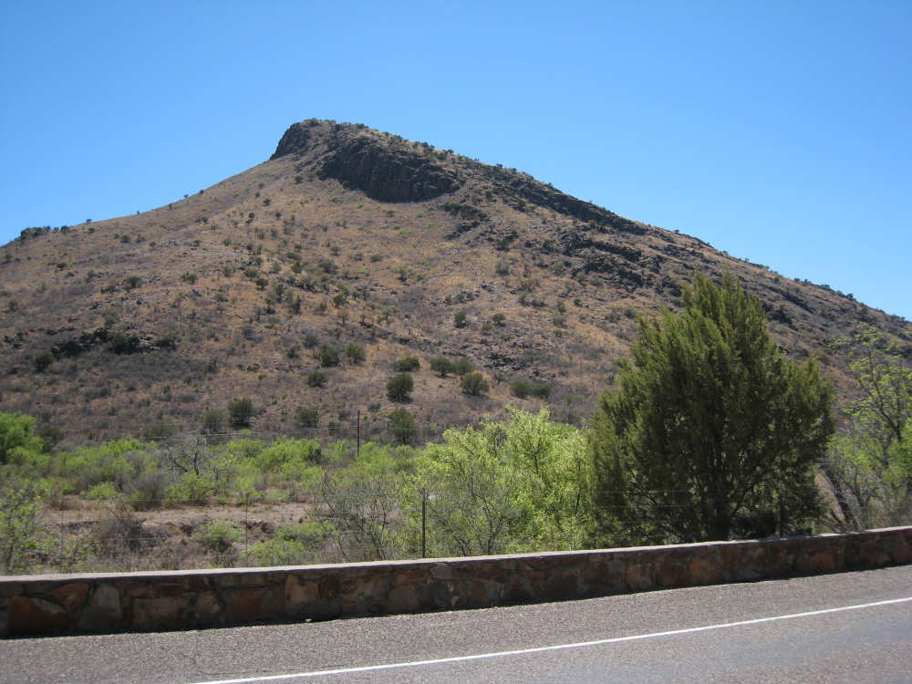
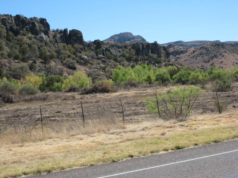
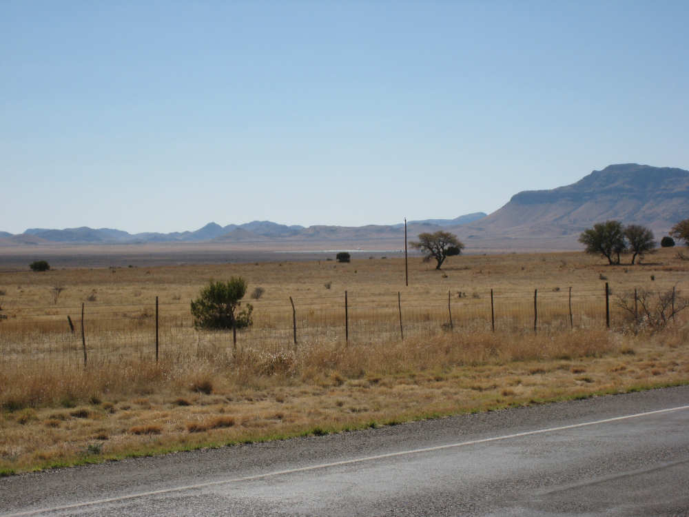
Between Marathon and Alpine, the mountains were similar to those we'd seen yesterday, many of them with cliff faces part-way up the sides. One remarkable thing about the cliffs was that they occurred at the same level across several peaks in a chain, like a fence that had been strung between them with gaps where there were gaps in the mountain peaks. The various shapes and different vegetation on the mountains were continuously interesting. After Alpine, the mountains changed significantly and they were different on one side of the road than the other. On our left, there were less rugged-looking mountains, covered with brownish grass, similar to the grass we saw in the fields below, and a few shrubs. On the right, the mountains were much harsher looking, with huge, dark, vertical boulders at the tops. As we got closer, we could see that many boulders had toppled down from the top and were littered over many of the hillsides, coming quite close to the road. It was an awesome sight. As we got closer to Fort Davis, the mountains receded and we saw more dry grasslands, stretching almost to the horizon. We saw more cattle and some horses. We also saw a rabbit today. It occurred to me that the terrain was probably teeming with wildlife that we couldn't see, either because they hid so well or blended in so perfectly.
We saw our first 'tumbling tumbleweed' today - a sure sign we're in a desert area. But we were also stunned to see a creek with water in it - quite a bit of water at that! The Musquiz Creek flowed along the road for a few miles, giving us more lovely trees to look at than we've seen in a while. We haven't been mentioning that we continue to see scads of motorcycles, ever since we hit the Texas Hill Country after we left Austin. We finally took a pictures of one pack of them today. They have been consistently friendly to us.
Since tomorrow is such a long day, we may not get the website updated that night, but we should have plenty of time to do it and update the 17th's & 18th's sites that are still incomplete. We'll let you know when they're up.
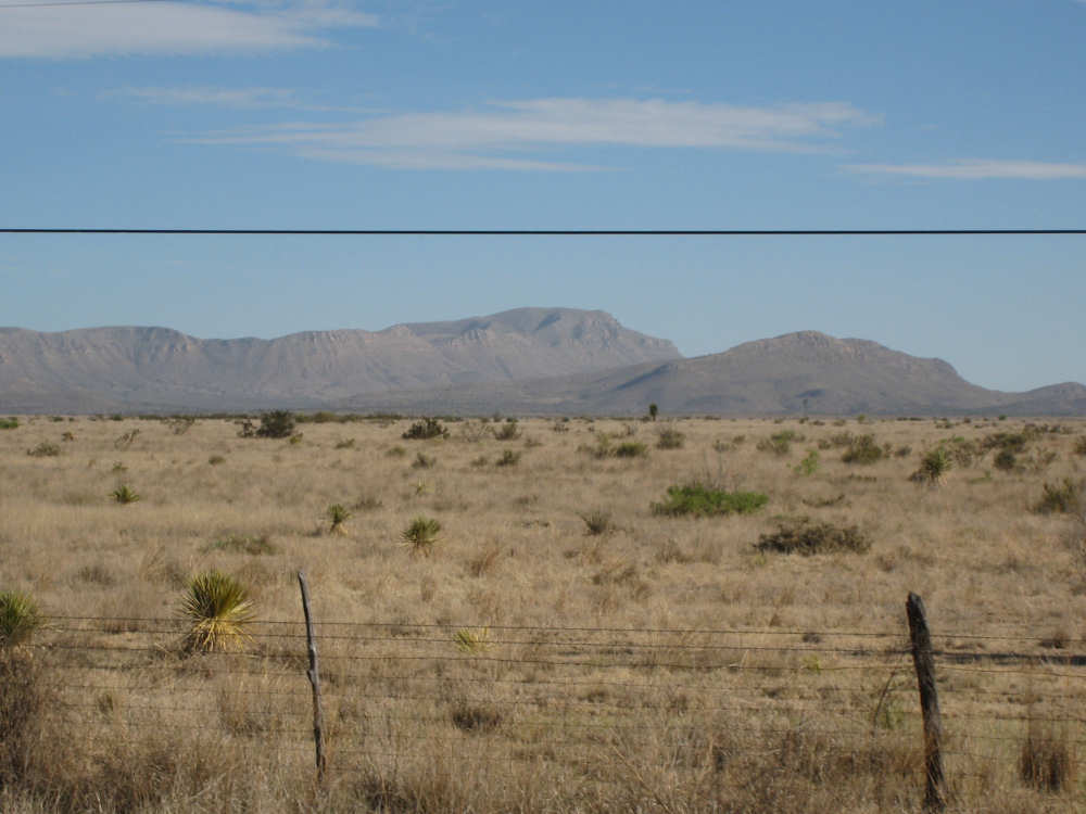
The road out of Marathon - mountains and brush below |
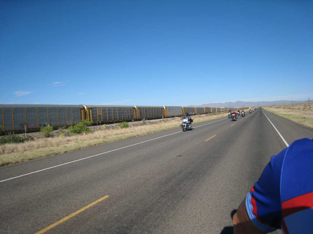
A train and a pack of friendly motorcyclists go by us |
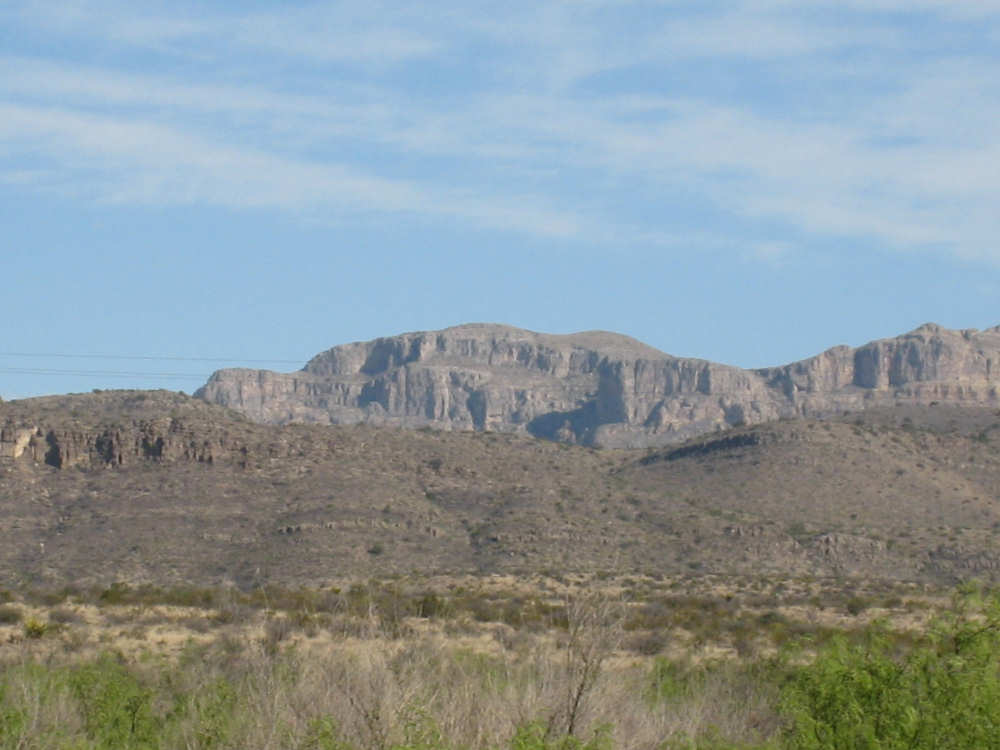
The mountains had interesting cliff faces near the tops |
A windswept pair of mountains and cactus below |
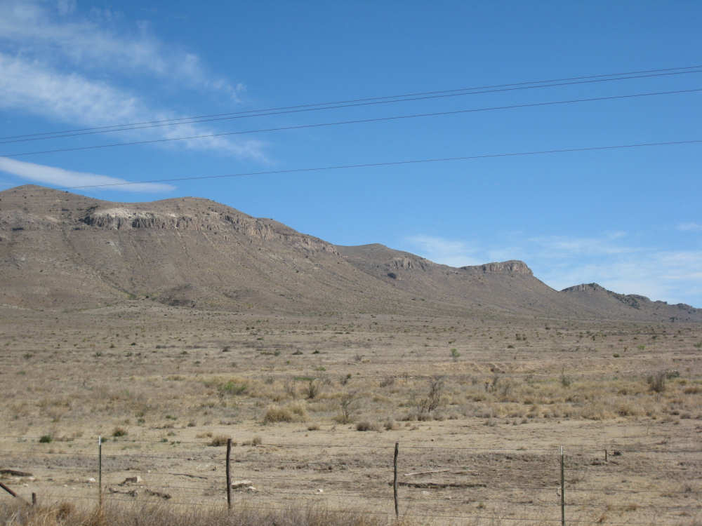
The cliff edges are at the same height across the row of mountains |
We saw this odd-shaped hill about 10 miles before we passed it |

A small canyon appeared near the road |
Two historic markers at a picnic area |

|
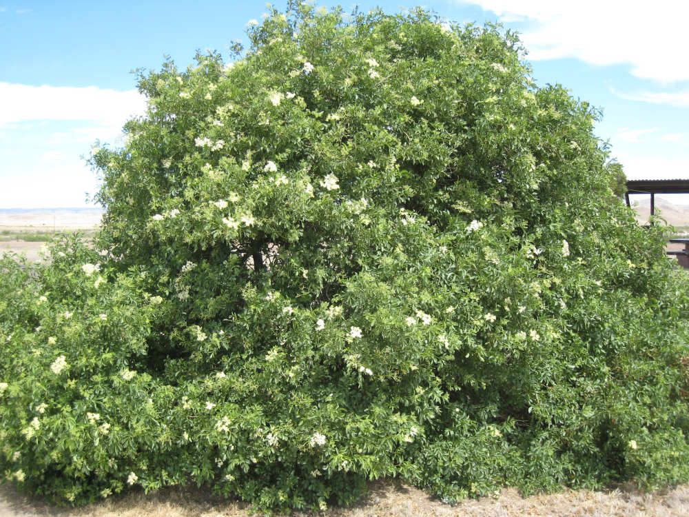
A flowering tree at the picnic area |
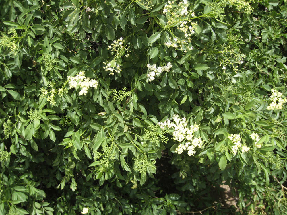
A close-up of the tree's flowers |
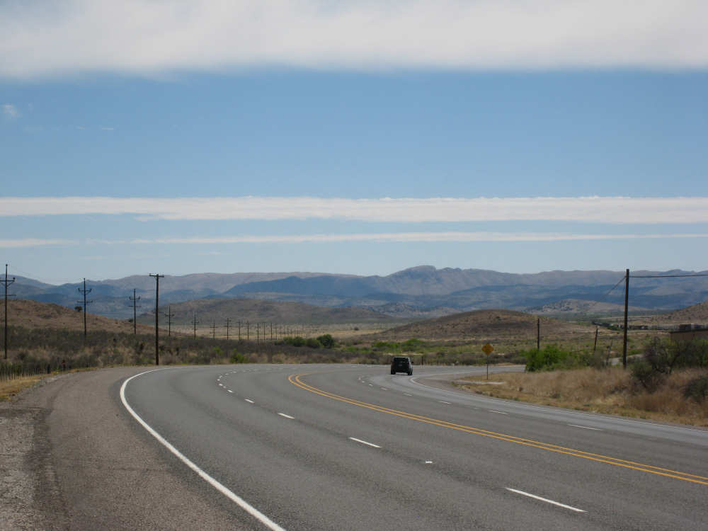
More mountains ahead as we head down into Alpine |
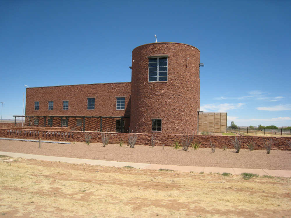
A US Federal courthouse in Alpine, the county seat |
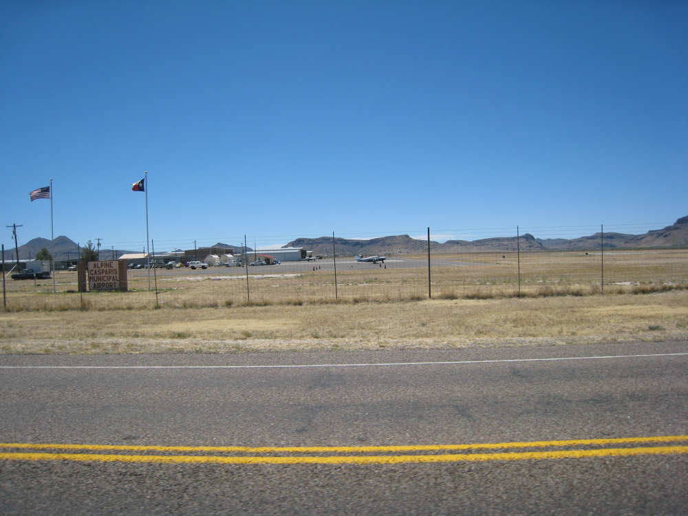
A plane at the regional airport in Alpine |
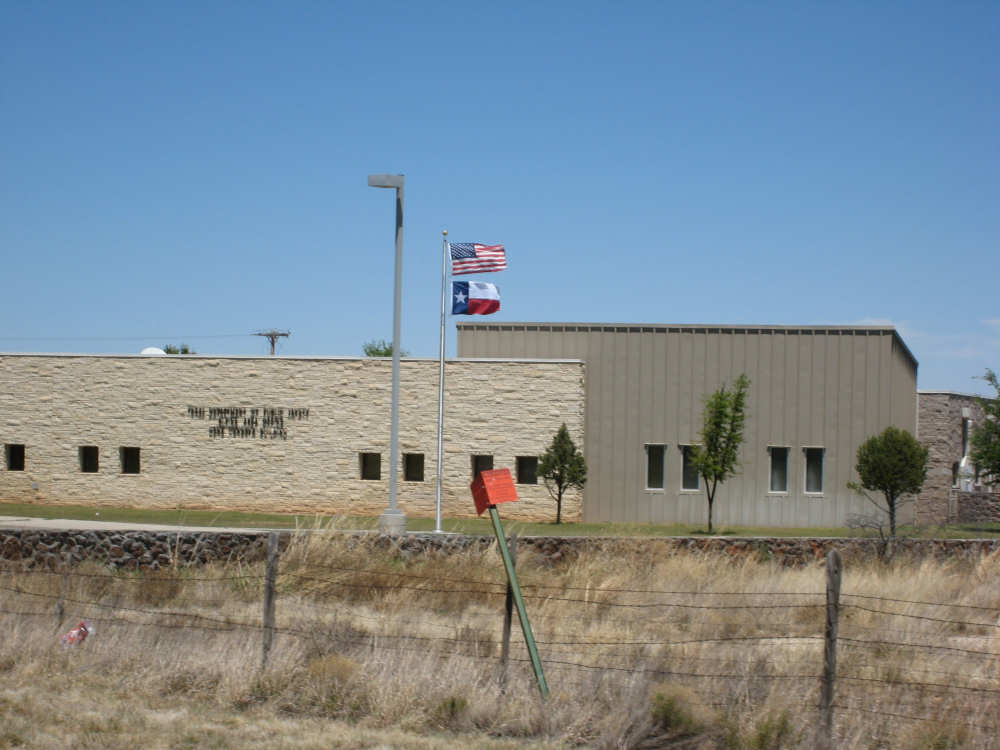
A county building - note the flags flapping vigorously |
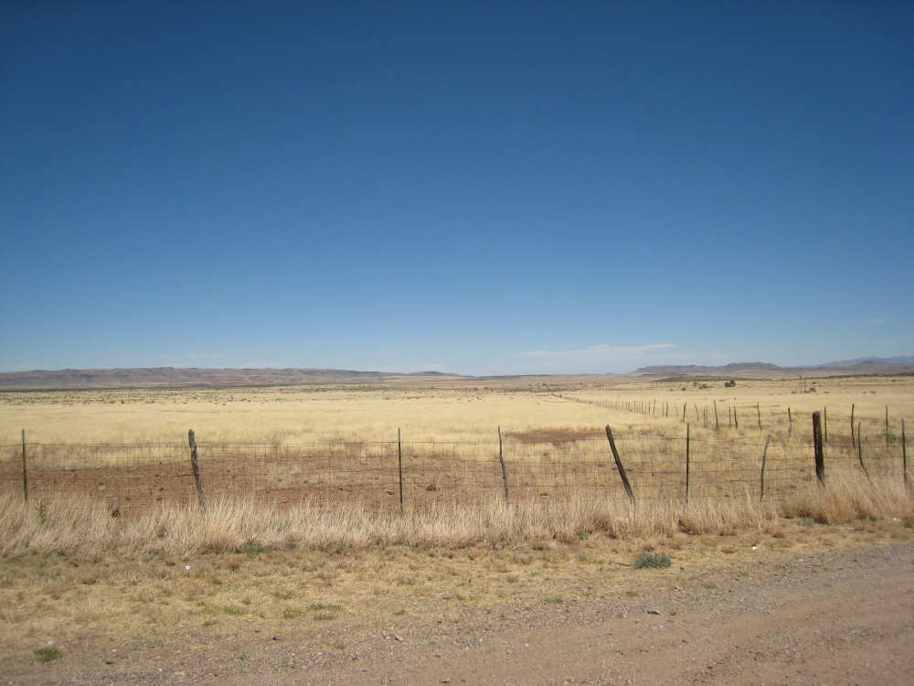
We saw a 'tumbling tumbleweed' like the ones trapped on this fence |
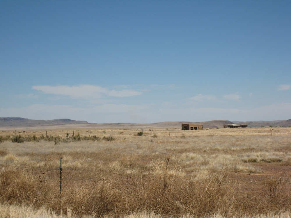
Large, flat, grassy fields outside of Alpine |
Some interesting brownish mountains on the left of the road |
And very different mountains to the right - with huge fortress-like boulders on top |
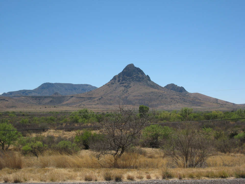
Mytre Mountain, 6,190 feet high - we also watched this approaching for miles |
Another interesting mountain to our left |

As we got closer, we saw these mountains were covered with a hay-like grass |
Another of the mountains on our left, covered with grass and a few shrubs |
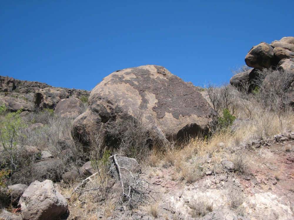
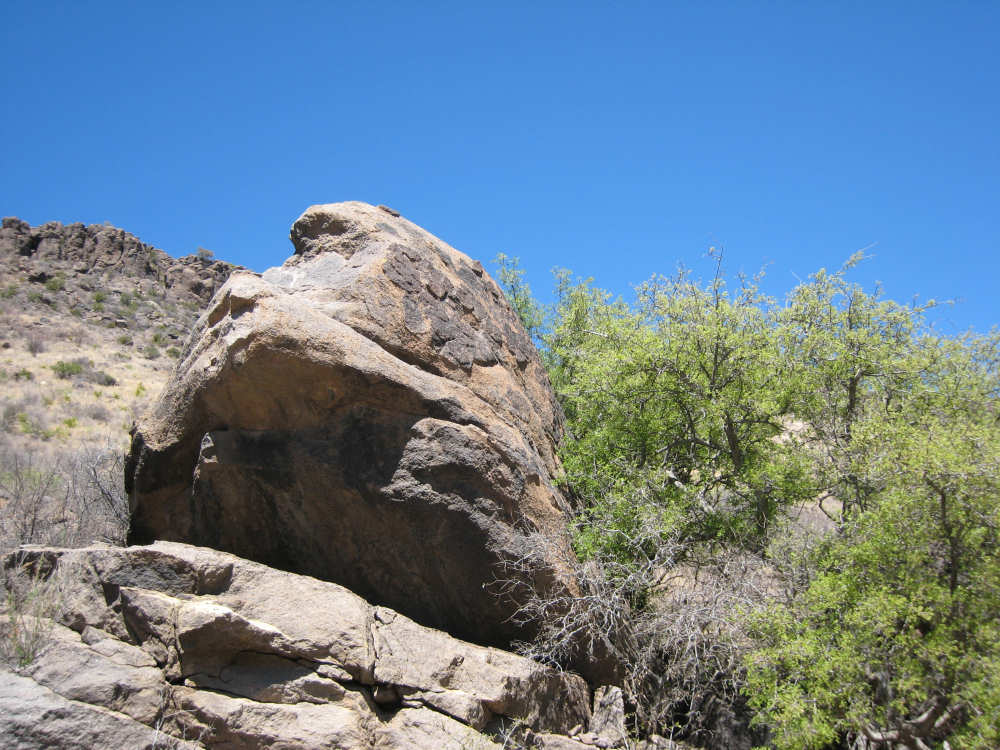
On our right - boulders that have rolled down the hill from the top ridges |
|
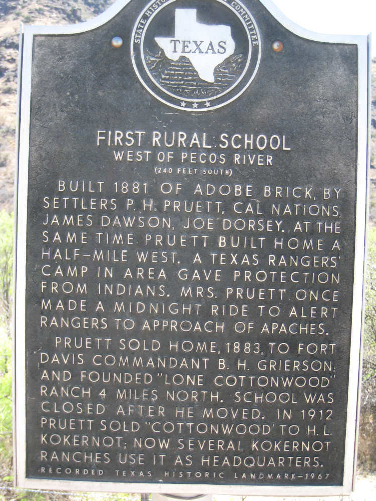
A historical marker in the area |
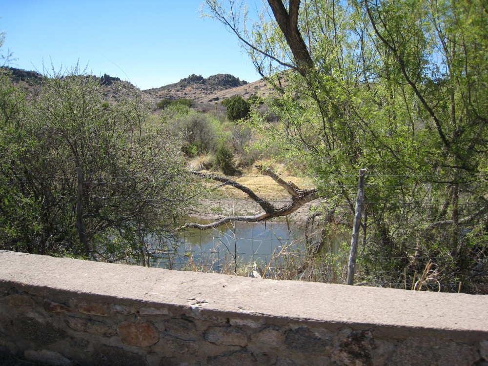
Musquiz Creek - the first creek with water in it that we've seen in days |
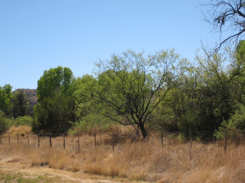
Trees growing along the creek |
A canyon with trees and more of the boulders |
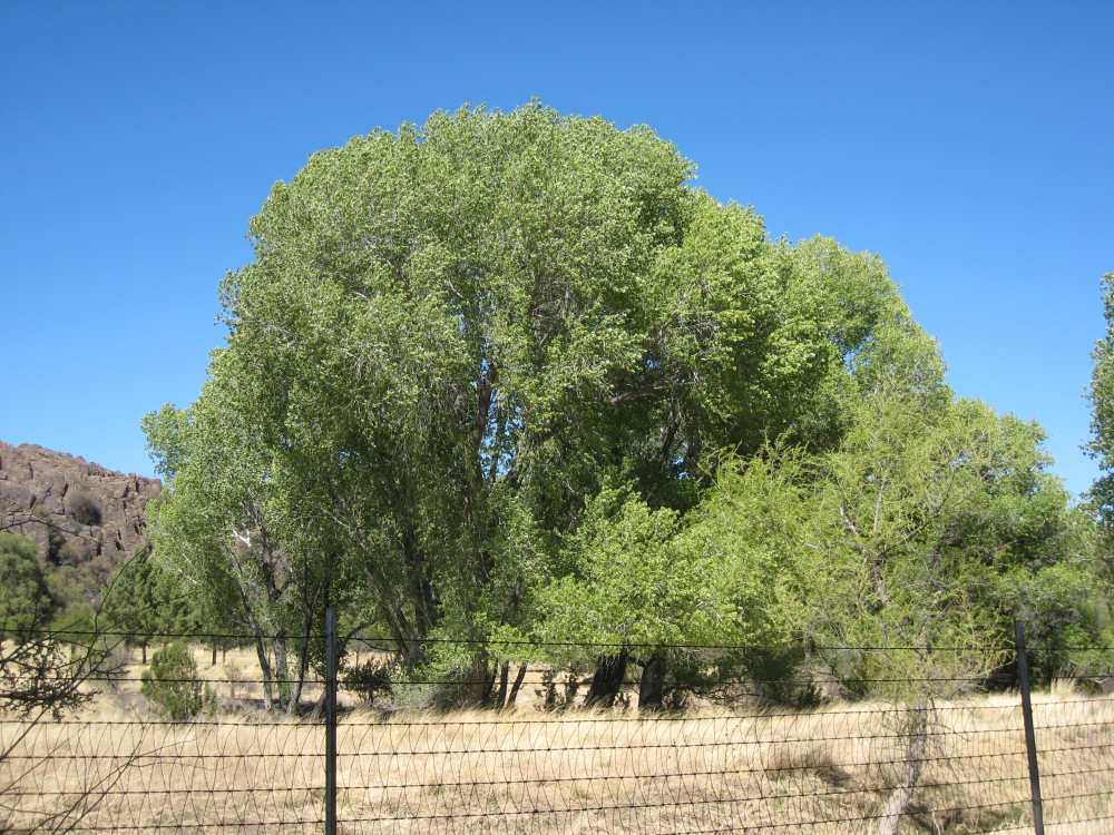
Impressive tree, still along the Musquiz Creek |

A marker about the ranch home of Manuel Musquiz |

The actual ruins - Just a few pieces of adobe-brick walls enclosed in fencing |
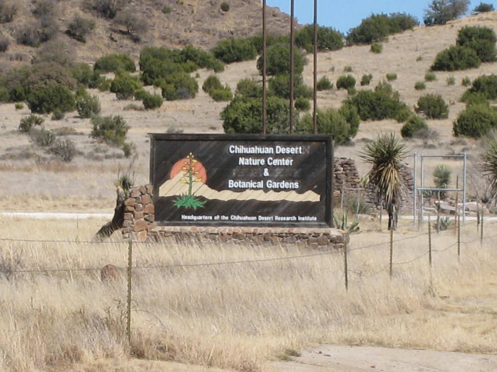
On the approach to Fort Davis, the Chihuahuan Desert Nature Center |

Flat grasslands across from the Nature Center |
Another view of the grasslands |