Monday, April 21, 2008
Fort Davis, TX to Van Horn, TX
90 miles (2701 total miles)
Very long and pretty grueling day, a total of 90 miles and the first 25 of them were very hilly. We left our comfy motel room at about 6:40 and rode a mile to breakfast and to pick up some sandwiches for lunch (our one and only supply stop today was in Kent, 52 miles away). We got on the road by 8:00, looking forward to a scenic ride through more stunning mountains. We had a nice ride for the first 5 miles or so, the winds seemed much calmer and it seemed like they would give us a break today. Then we hit the steep part. We had a 1,250-foot rise in about 10 miles, long stretches of around 10% grades. We had to stop several times to catch our breath in the first few miles. After we got a little more warmed up, we did better but it was still exhausting. We even began to groan when we saw a downhill stretch because we knew we'd just have to go up that much more. Another cute feature of this area - we saw a sign that said 'Loose Livestock'. We didn't see any wandering on the road, but apparently ranches span both sides of the road here, so they'd have a fence going up to the road on both sides and cattle grating across the road. Like going across 6 or 8 railroad tracks with no fill in between them. And of course, they usually occurred in a dip in the road. The worst one came at the bottom of a steep downhill, so that we had to brake hard to get across them and then start up the next steep part having lost all that momentum. There were a couple of steep downhills - about 500 feet down each. Going up that third incline - blessedly a little less steep, but still as long - I was just about ready to pack it in. The hills were pretty but not THAT pretty. The wind had picked up and always seemed to get gustiest at the steep parts. It was very discouraging to note that it was noon, 4 hours after we started, and we had only gone 20 miles, with 70 more ahead of us! Oh, but a half-hour of those first 4 was spent fixing a flat tire. We got that at mile 14. We passed the McDonald Observatory at mile 15 - the peak of our first incline. It would have been nice to visit, but it was up even more steep slope and we were already running very late.
Once we got past about 25 miles, it was pretty much downhill from there (in the good sense!). We came back down to about 5,000 feet in a long, gradual downhill. The wind slowed us down enough that we didn't have to brake at all, just an easy coast that went on for about 10 miles, and then level all the way to Kent. At that point, we were in a valley between the mountains. I've decided mountains looked their best when viewed from below; it was beautiful and very peaceful along that stretch. Very few cars came by. We finally reached Kent at about 3:30, having nearly gone through all our water supply. The grocery store there (the only building we could see except for a few ranches nearby) was at an exit of Interstate 10 and was well-stocked; we ate some sandwiches and refreshed our ice and water. We also saw another couple, Stacy and Conrad Kessler from Seattle, WA, who were doing the route east-bound, and had a nice chat with them. They both had BOB trailers like ours and were camping mostly. It occurred to me that another reason going east on this route was easier, besides having more tail winds, was that the slopes are gentler in that direction. We have another mountain coming up this next week that I have no idea how we're going to manage - from the east side it looks fairly gradual but from our side it seems to go straight up. Anyway, we left Kent at about 4:30 with about 40 miles to go, all on I-10. I was a little worried about the traffic, but it wasn't very heavy and wasn't at all troublesome. It was also mostly flat and the road surface on the shoulder was nice and smooth after the first 10 miles or so. But the wind was still very strong so we didn't get much of a break there. The scenery wasn't very interesting either for quite a while; towards the end, we did see some neat hills to our left and saw the looming shapes of mountains in the distance. We even had some pretty wildflowers along the road at that point, too. We got off the interstate at mile 88 and groaned to see our motel was still another 2 miles off. We sloughed through town, which had some interesting little antique and art/crafts shops, and turned into our motel at 8:40, just as the sun was starting to go down. We walked down the street for a quick dinner, did just a little work on the website, and went to bed.
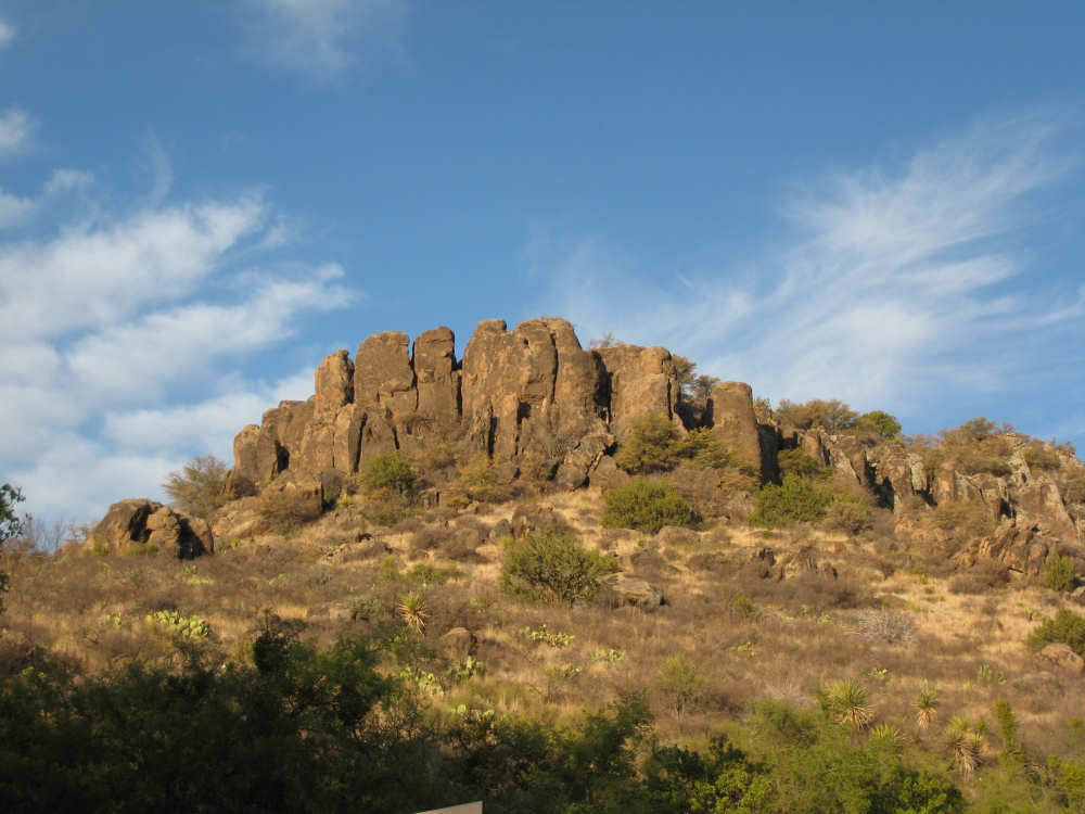
We got some more information about the area from a high school teacher/basketball coach we were chatting with at breakfast in Fort Davis. The mountains we've been in are called the Davis Mountains and the ones with all the craggy boulders on top are called, appropriately enough, Sawtooth Mountains. I also asked him about the Chihuahuan Desert Nature Center we had passed. He confirmed that we were in the desert area, even though it didn't look much like it (everything was covered with dry grasses). The main part of the Chihuahuan Desert was in Mexico, but 4 fingers of it came up into the States, one of which we were in. He said this part of the desert was unique because of the elevation (about 5,000 feet); the mountains trapped the moisture and dumped it on the plains. It had been particularly dry this year - no rainfall since November - but their rainiest season started in May and he said the flowers were at their peak in July and August, when it was especially beautiful in that area. He also told us that the Chihuahuan Desert had the most varieties of cacti in the world and the Nature Center had beautiful examples of a lot of them. Almost forgot to mention, we met two other bikers today at our midpoint, 44 miles - Gary George and his son, Gary George, Jr. were riding the Southern Tier to raise money for a Youth for Christ center back in Nashville, TN. They were traveling with a support van, driven by Gary's wife. A couple of days ago, we met another biker raising money for cancer research, also with a support car. We admire their altruism.
We finished the day at 90 miles in just under 9 hours of bike time (our average improved a lot on that long downhill and level area). Tuesday is a rest day with our usual long list of things to catch up on. One reader has pointed out that we haven't said anything about the weather lately. It's been sunny and hot but very dry for days. When we're standing still in the full sun, it can feel quite scorching, but usually when we're riding, the wind cools us off and it feels quite pleasant. Our sweat dries almost instantly; in fact, at the end of the day, my face usually feels like a margarita glass, completely lined with salt!
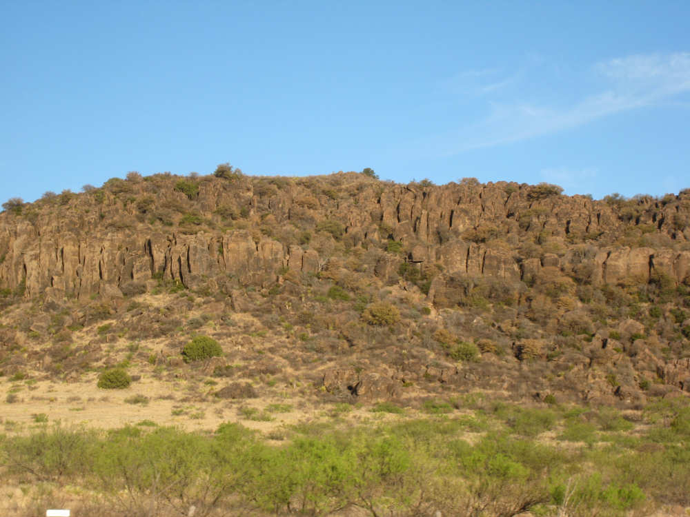
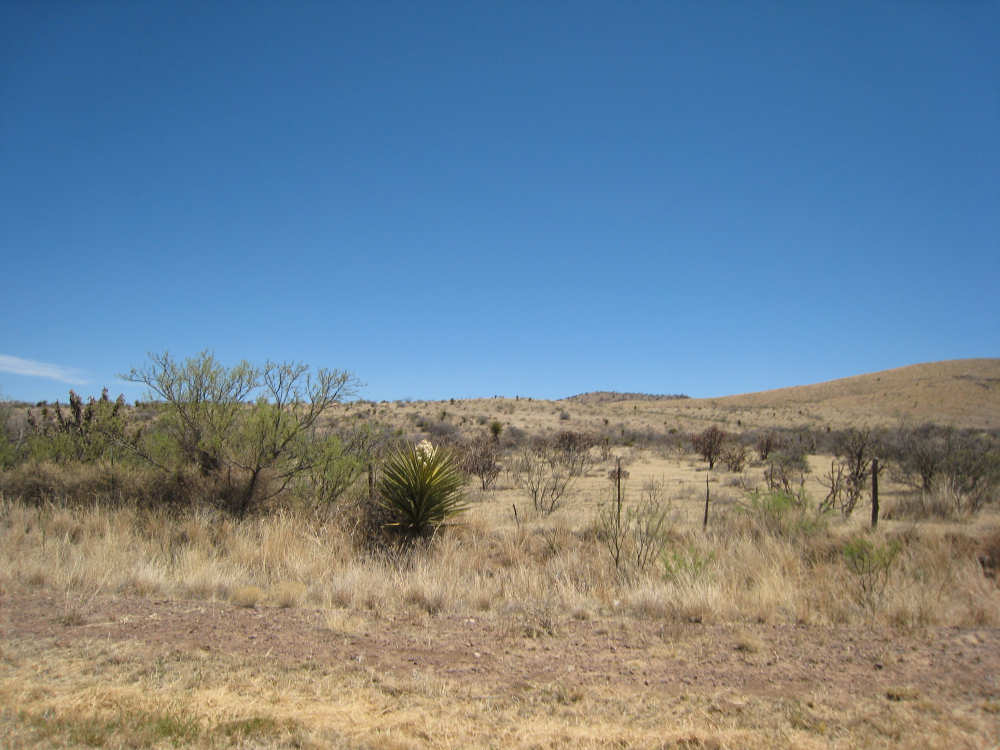
Early morning views of the Sawtooth mountains |
|

|
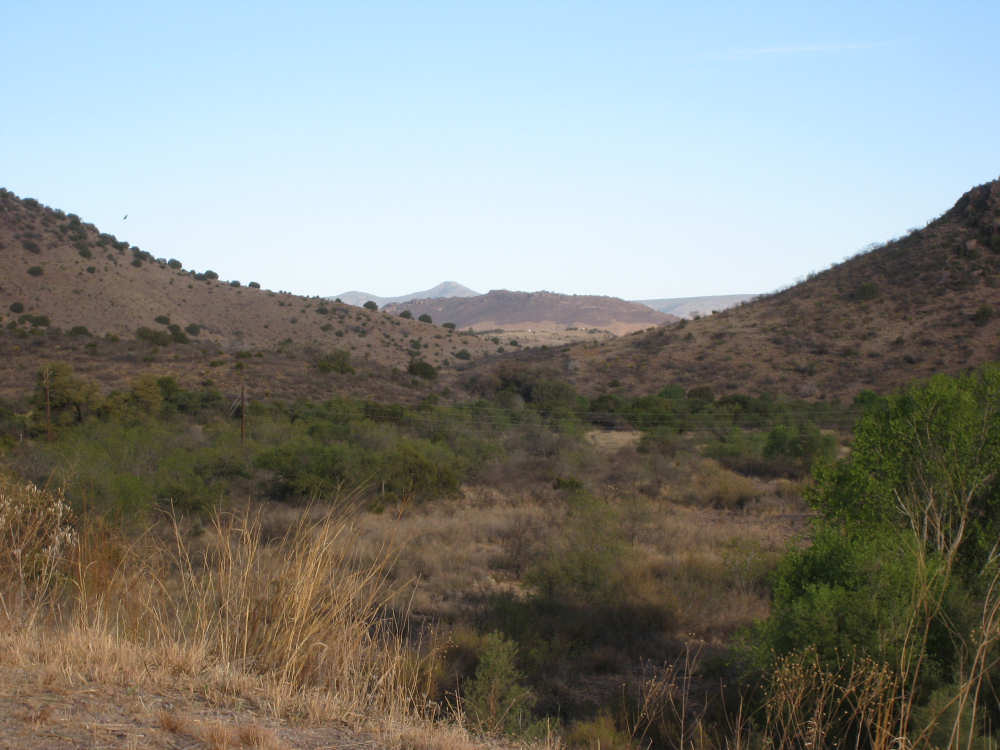
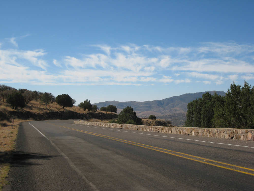
A long view between hills as we start to ascend |

A historic guest ranch just outside of Fort Davis |
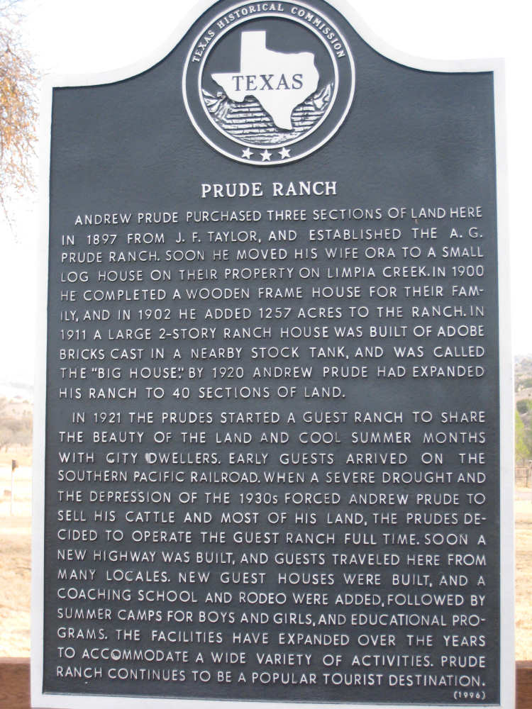
And the marker describing it |
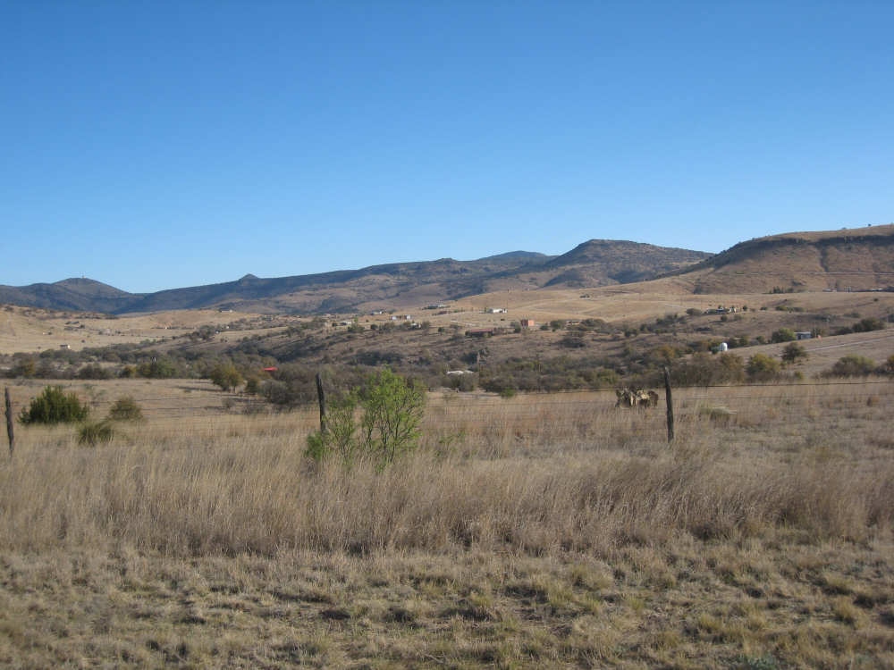
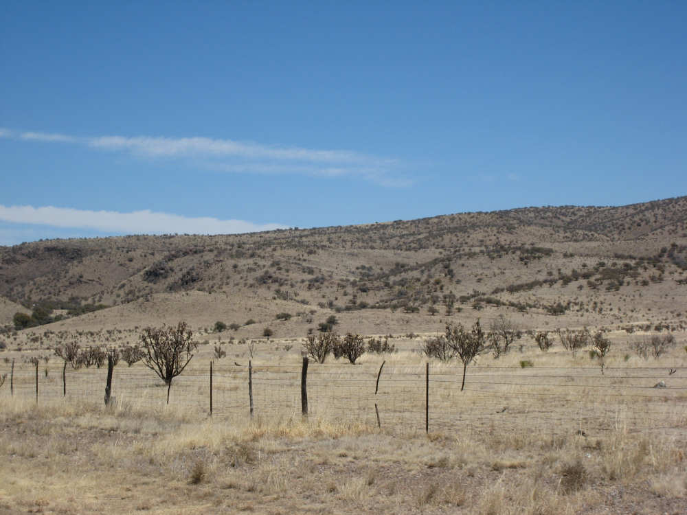
A sprinkling of houses in the low-lying fields |
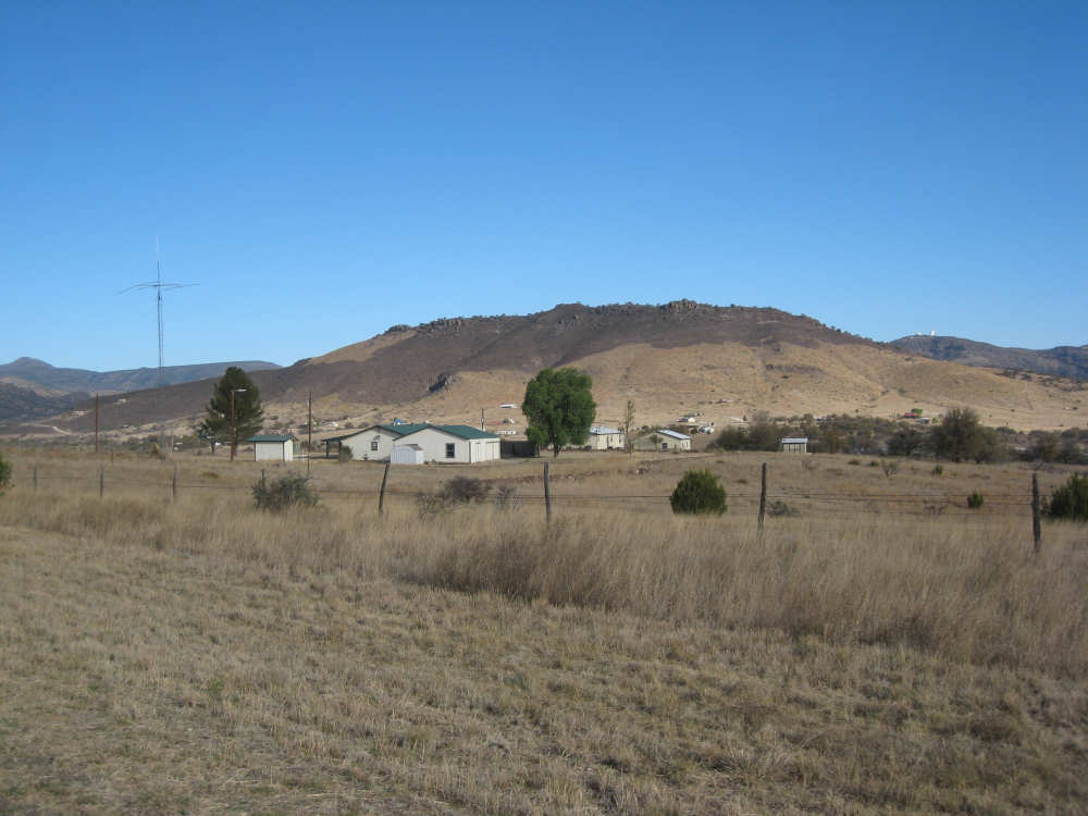
Close-up of the houses |
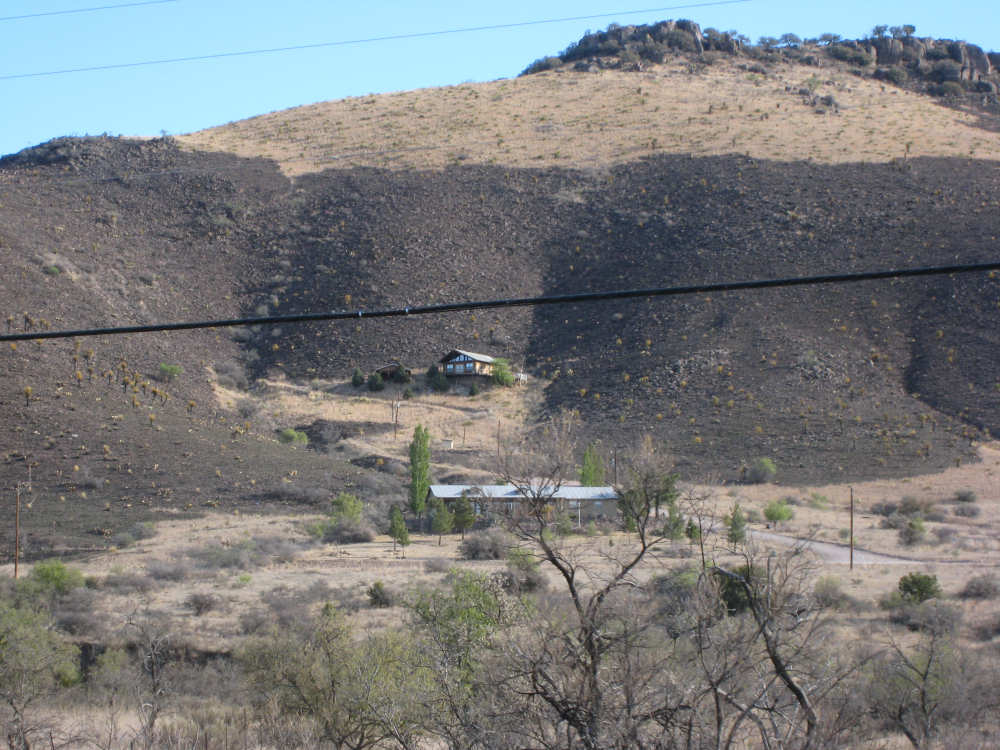
And one house nestled right on the hill, in a strange dark band across the middle |
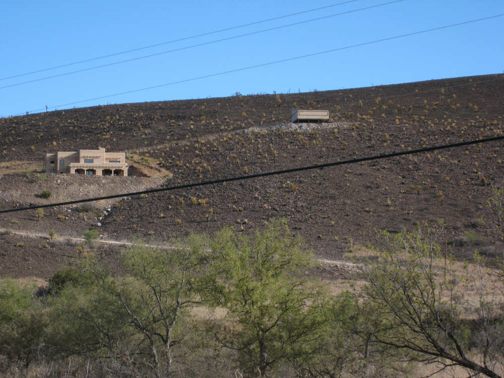
An adobe-style house with some kind of shed much farther up the hill |
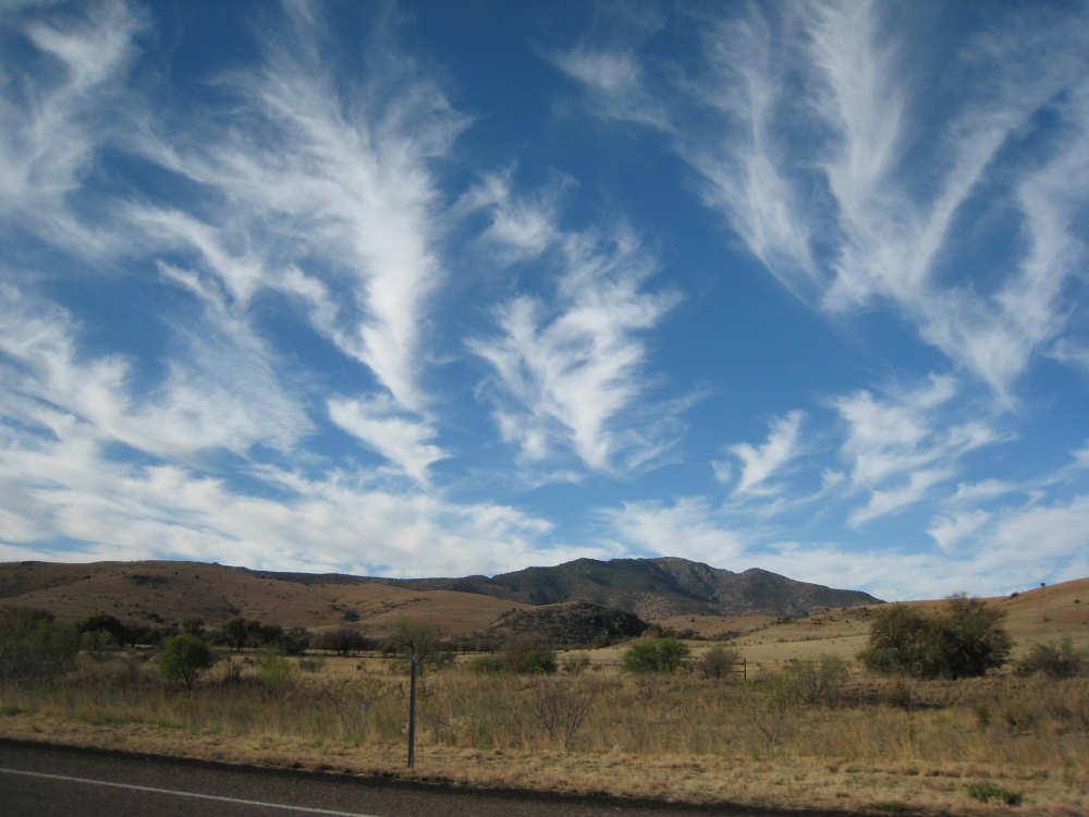
Wispy clouds over the hills |
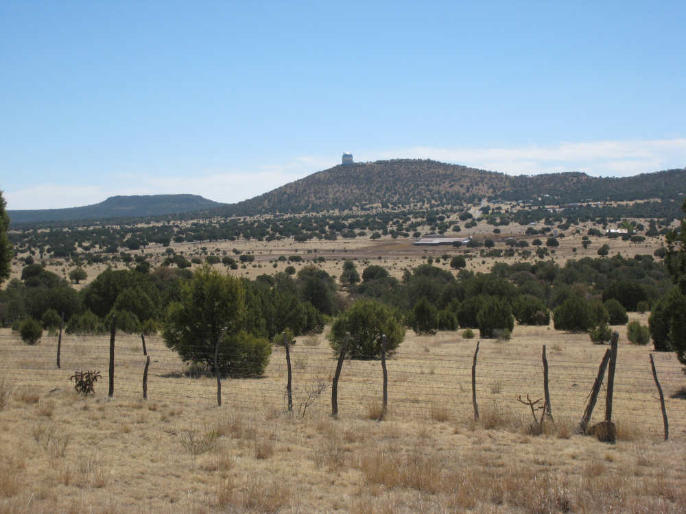
Our first sighting of the McDonald Observatory towers |

Rocky hills, unlike the other grass & shrub covered ones |
The climb steepens |
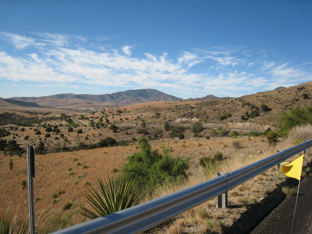
The view part-way up |
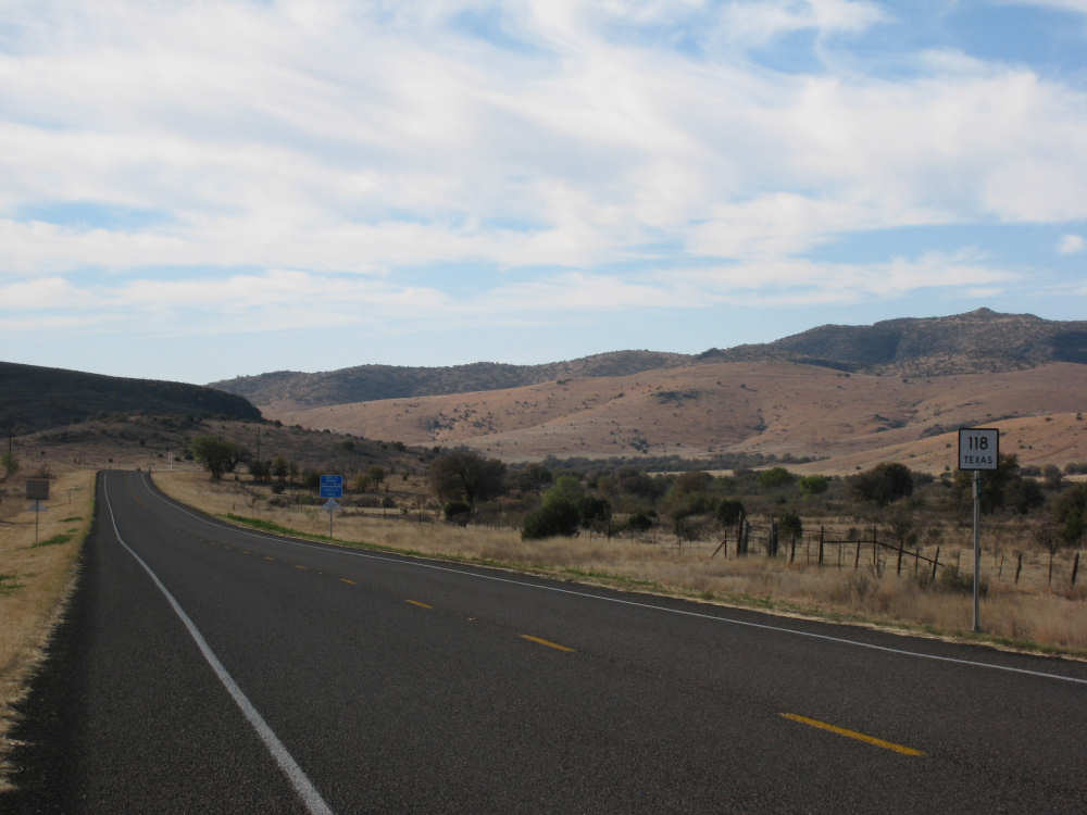
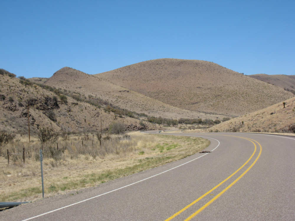
The road behind us |
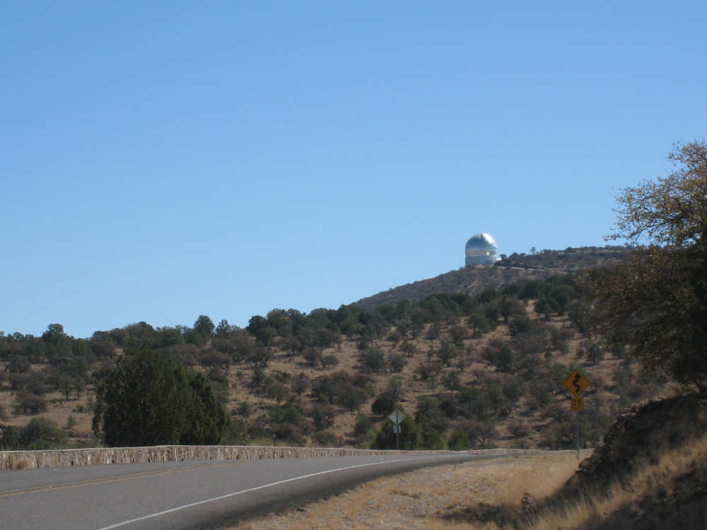
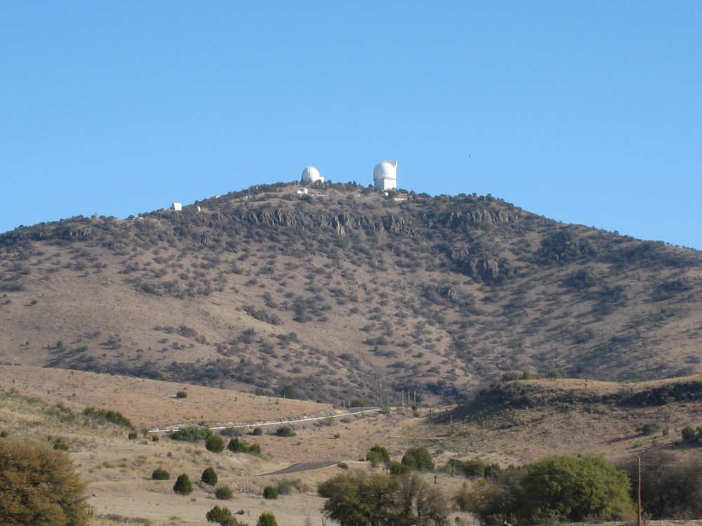
Another peek at the observatory |

Pat fixing the flat |
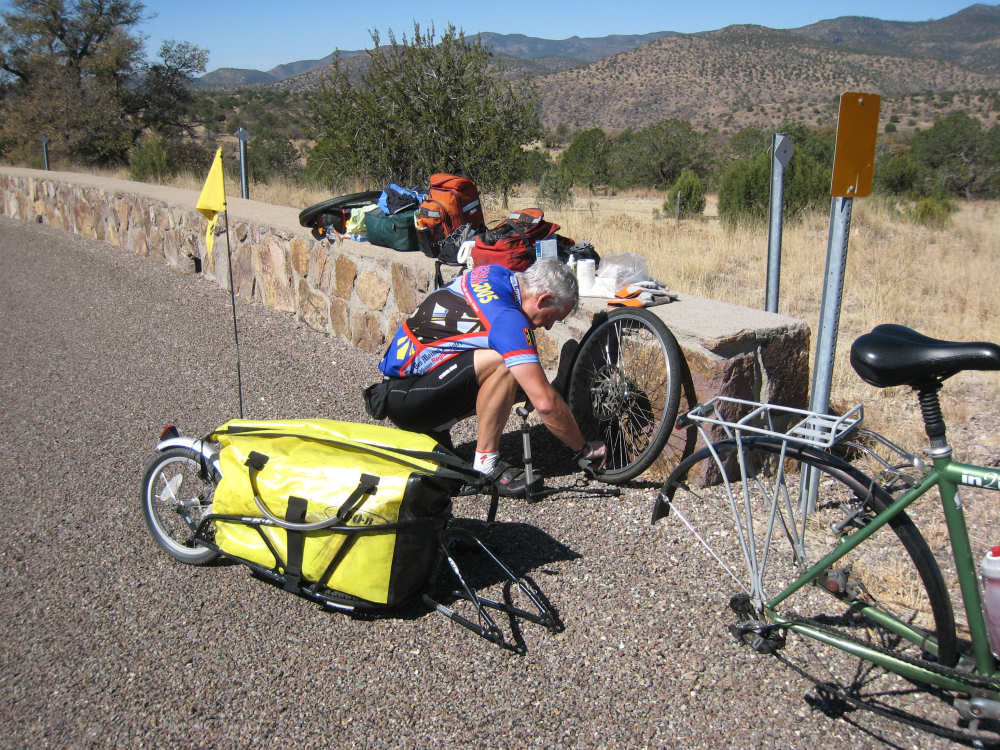
Ready to pump it back up |

The view from where we had the flat tire |
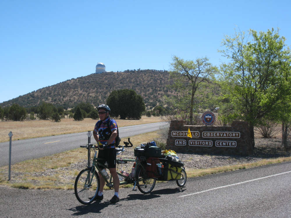
Moments later we were at the base of the observatory |
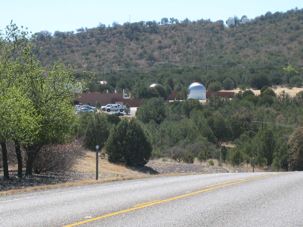
The Visitors Center and parking lot |

Close-ups of two of the observatory domes |
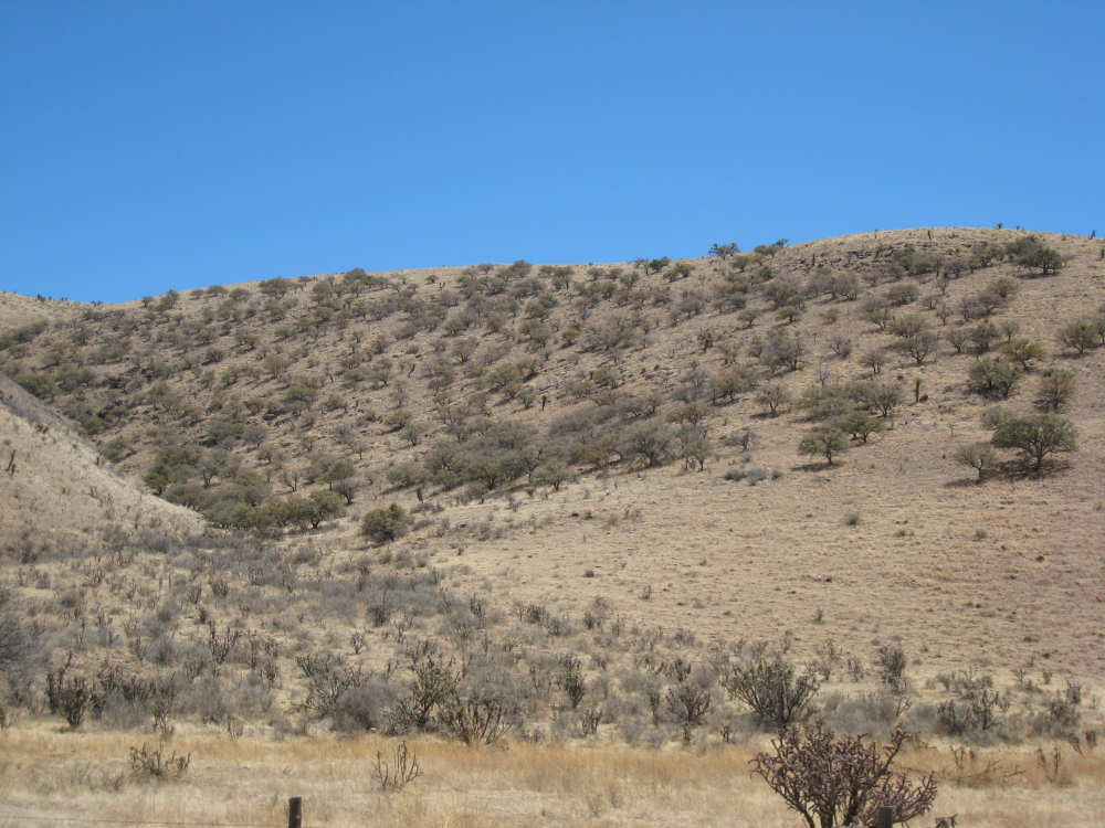
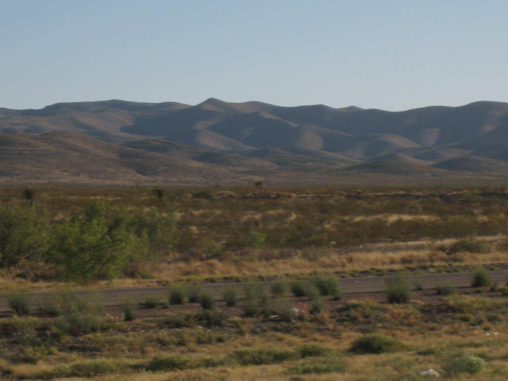
Views of the shrubs dotting the hillsides |
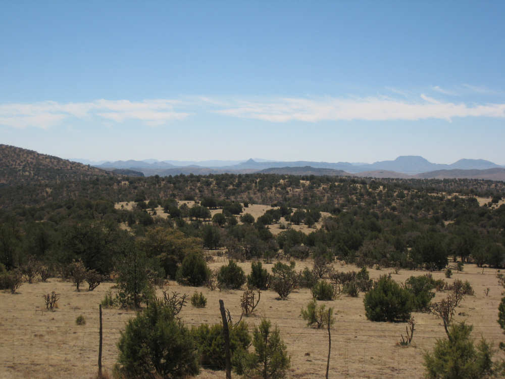
And the view of the hills beyond |
We're finally on the downhill slope! |
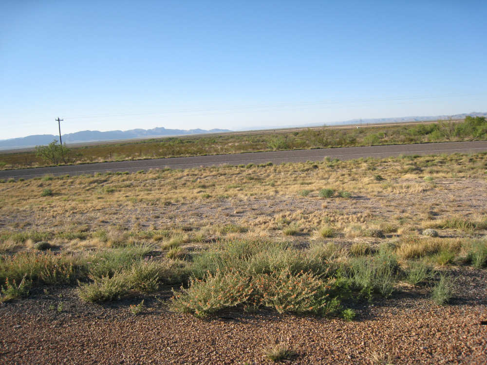
Level, grassy fields below |
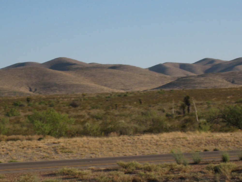
The hills are lower and less shrubby now |
One slope covered with shrubs |

More barren slopes |
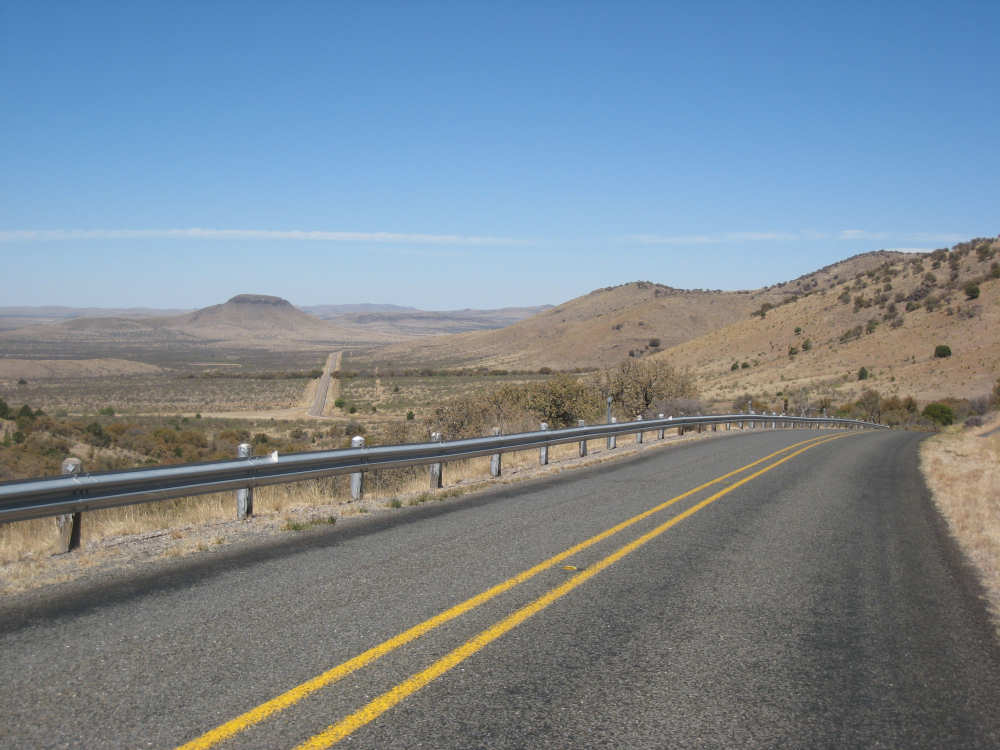
Interestingly shaped hills as we continue to wind down |

We hit the flat lands again - still at 5000 feet though |
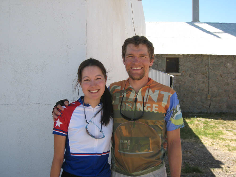
We meet Stacy and Conrad at the store in Kent |
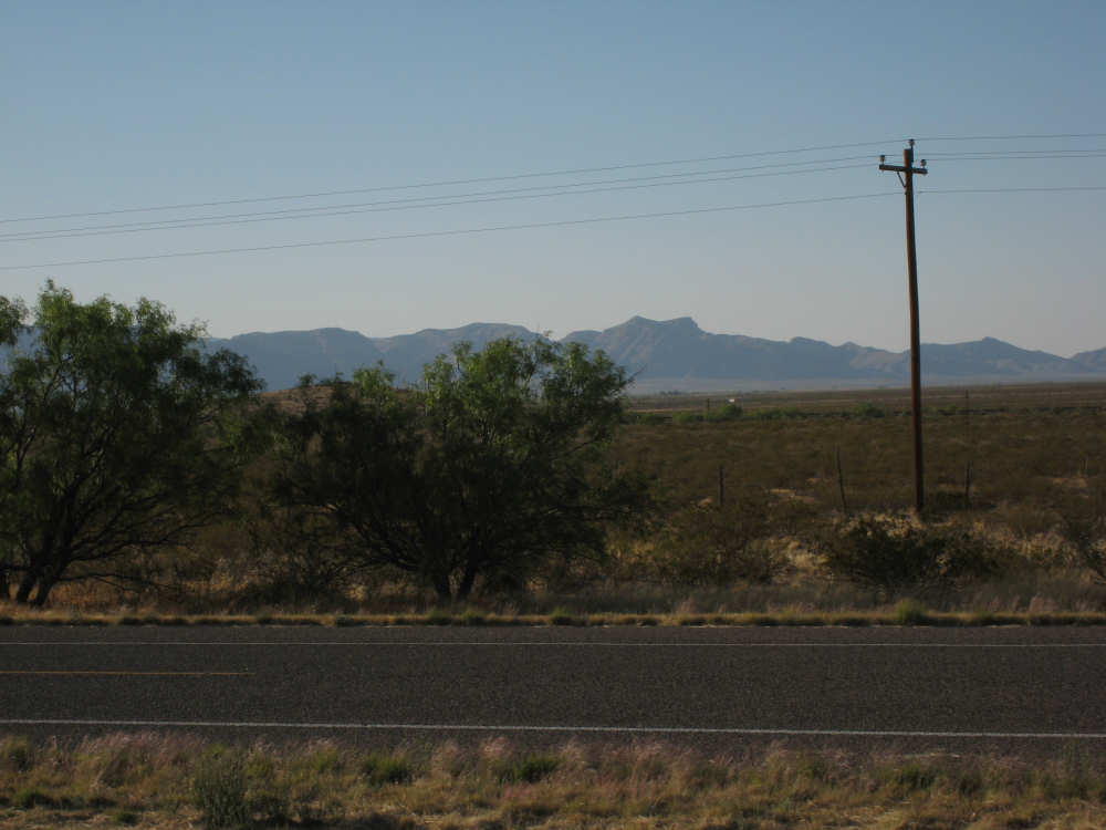
Now on I-10 (that's the frontage road next to us) - distant mountains on our right |
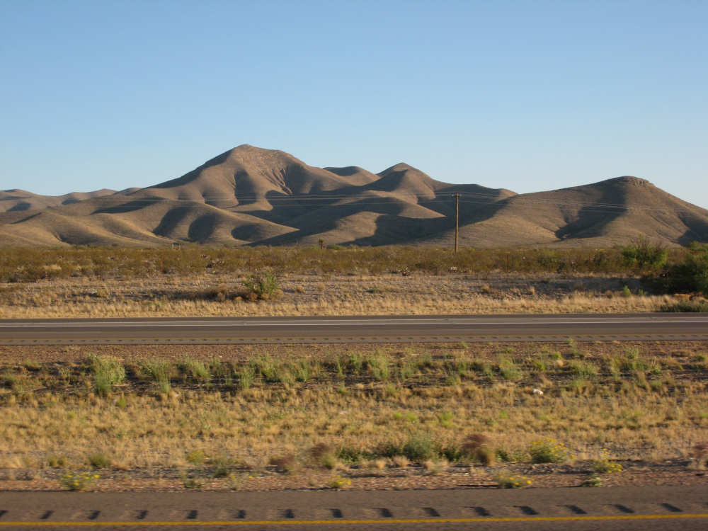
And rocky, rolling hills on our left |
Another view of the hills |
Getting closer to Van Horn, there are flowering plants by the road... |
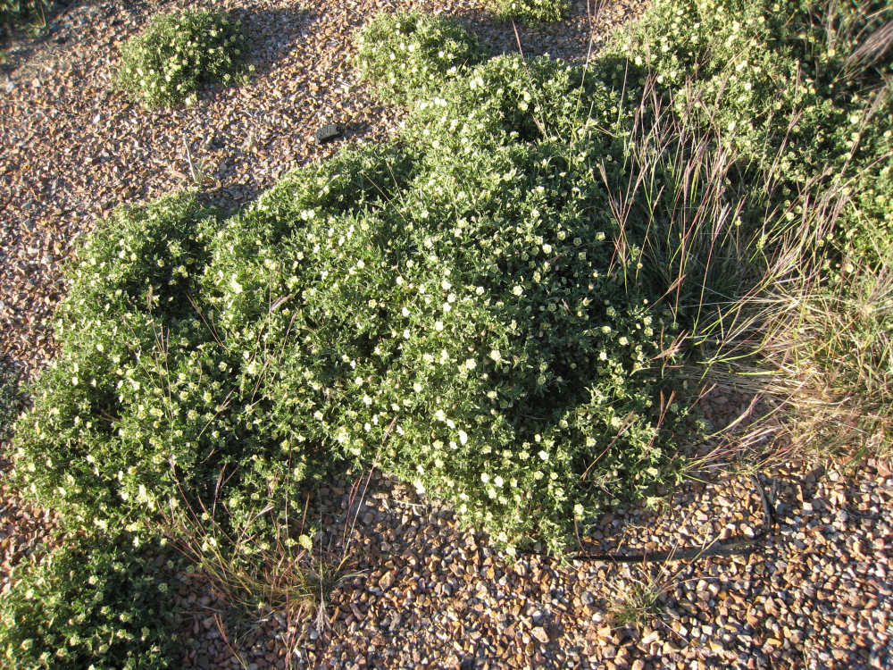
Pale green... |
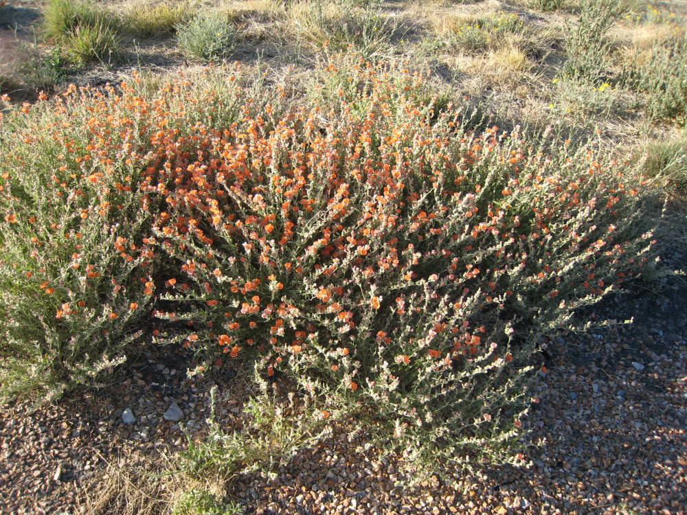
Orange... |

And yellow |
More interesting shapes |