Monday, April 28, 2008
Kingston, NM to Silver City, NM
48 miles (3007 total miles)
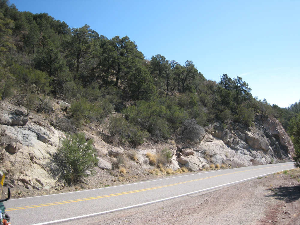
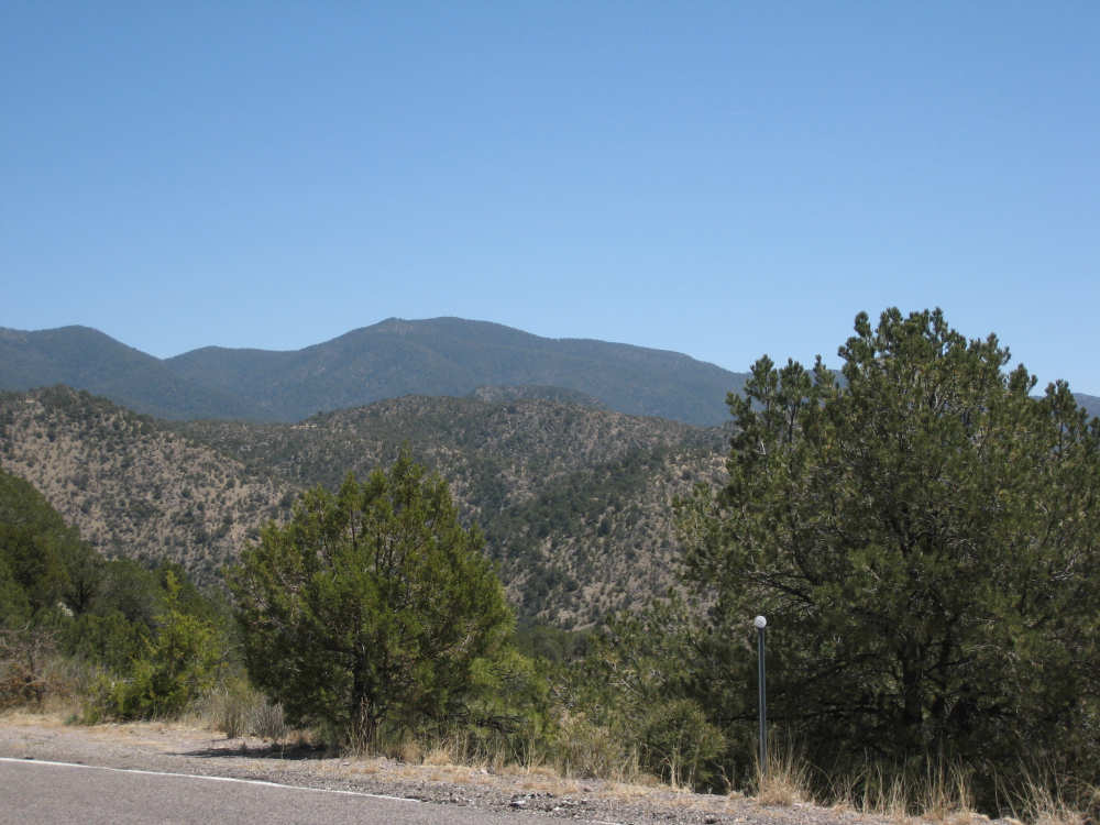
We started the day later than usual by having breakfast at the Black Range Lodge with Pete Fust, one of the owners, Tom, the resident housekeeper and cook, Debbie and Chris, the couple who sang at the concert in Hillsboro the day before and stayed overnight at the Lodge, and Ian and Taran, the father and son who were biking from Vancouver, Canada to Houston, TX. Unfortunately, Pete's wife, Catherine Wanek, did not join us for breakfast so we don't have a picture of her. They were a very enjoyable couple who made our stay very, very pleasant and comfortable. We highly recommend the lodge to anyone traveling in the area (www.blackrangelodge.com). Pete and Catherine are also experts on strawbale house construction, and Debbie, Chris, Ian, and Taran were all staying over that day for a hands-on workshop. There were a number of strawbale buildings on the premises, as well as an earthen bread oven shaped like a phoenix. After a scrumptious breakfast, we headed for the hills again, leaving at 8:40. The climb up to the Emory Pass (6280 feet elevation) was an 8-mile long climb of about 5-6% grade nearly the whole way. We had a couple of little 'rest areas' where the grade dropped to about 2-3%. It was a long climb, but again the scenery was gorgeous and it was well worth the effort. The pictures don't do it justice, unfortunately. The view from the Pass was amazing. We could see the little stretch of road that was Kingston (where we stayed last night) very clearly, then further back and to the right was the town of Hillsboro that we had been through yesterday (it's just barely discernible in the photo). And way in the back were the Caballo Mountains - we could even see a bit of the Caballo Lake beneath them. So nearly all of yesterday's journey lay there at our feet!
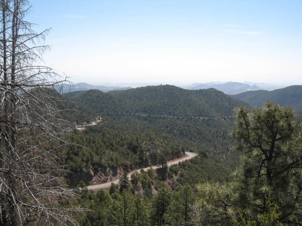
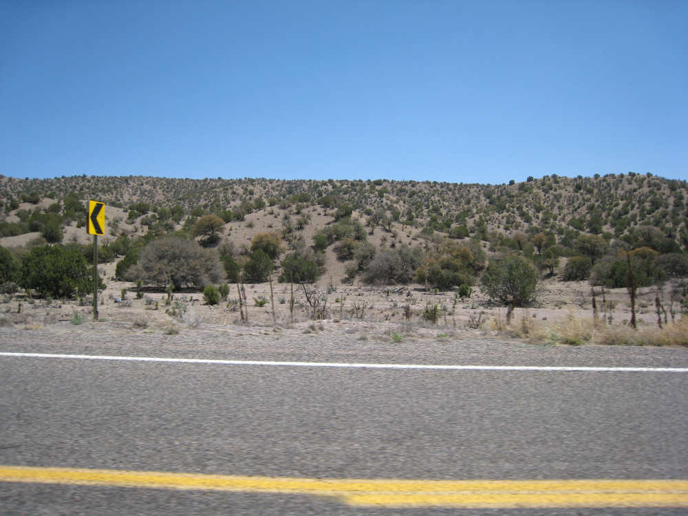
Coming down from the pass was a little harrowing. We had to brake almost continuously and stopped every few miles to let the disk brake cool down. It was as pretty as the other side of the mountain, with one valley that contained enormous boulders. The drop was longer than the climb, with one stretch of a couple of miles where we were actually going up again. We reached the bottom near the town of San Lorenzo, where the Adventure Cycling route split into two options. One went further north and covered an area called the Gila Cliff Dwellings, where there were preserved pueblos built centuries ago in the natural caves overlooking the Gila River. This route was much more challenging and we opted for the easier one going straight west to Silver City. After 25 miles going up and down the Emory Pass, the remaining 25 miles of 'rolling' 2-5% grades to Silver City were plenty challenging for us. We got to our destination about 5:20, having done almost 48 miles in a little over 6 hours of bike time, an even worse average than yesterday's low. We were lucky in that the winds were very calm today and the day was warm and sunny but not too hot.
There was one special attraction on the stretch between San Lorenzo and Silver City. We passed by the Santa Rita Copper Mine, a mine that Pat's parents went by on a trip out west many years ago. Walter was fascinated by the mine, whereas Eileen couldn't see what was so interesting about a big hole in the ground. The same scenario played out today - we saw three couples there, with the 3 men hanging on the fence animatedly talking about the mine, and the 3 wives hanging by the cars chatting about other things. It turned out they used to live in Santa Rita and had come back to see all the changes since they had lived there. As you can read in the history below, the entire town of Santa Rita was relocated over 50 years ago when the copper mine went into full operation. The other point of interest today was that we hit our 3,000 mile mark - one third of our total trip. We had our 3,000 mile picture taken at the motel in Silver City, since there wasn't anyone around when we actually reached it.
We will be camping out tomorrow night - there's not much civilization between here and Safford, AZ, about 120 miles west. We will very likely not have cell phone or internet access, so the web page won't be posted until evening of the next day.
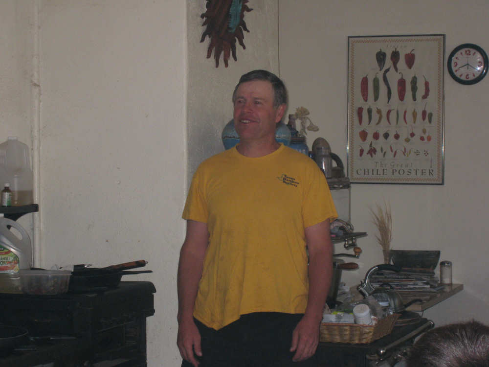
Pete Fust, wearing his bamboo-cloth shirt, discussing strawbale houses in his kitchen |
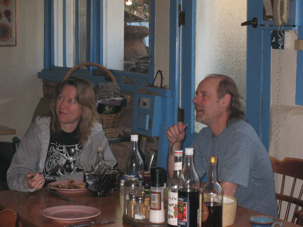
The Mitguards, Debbie and Chris, the singer/songwriters at breakfast |
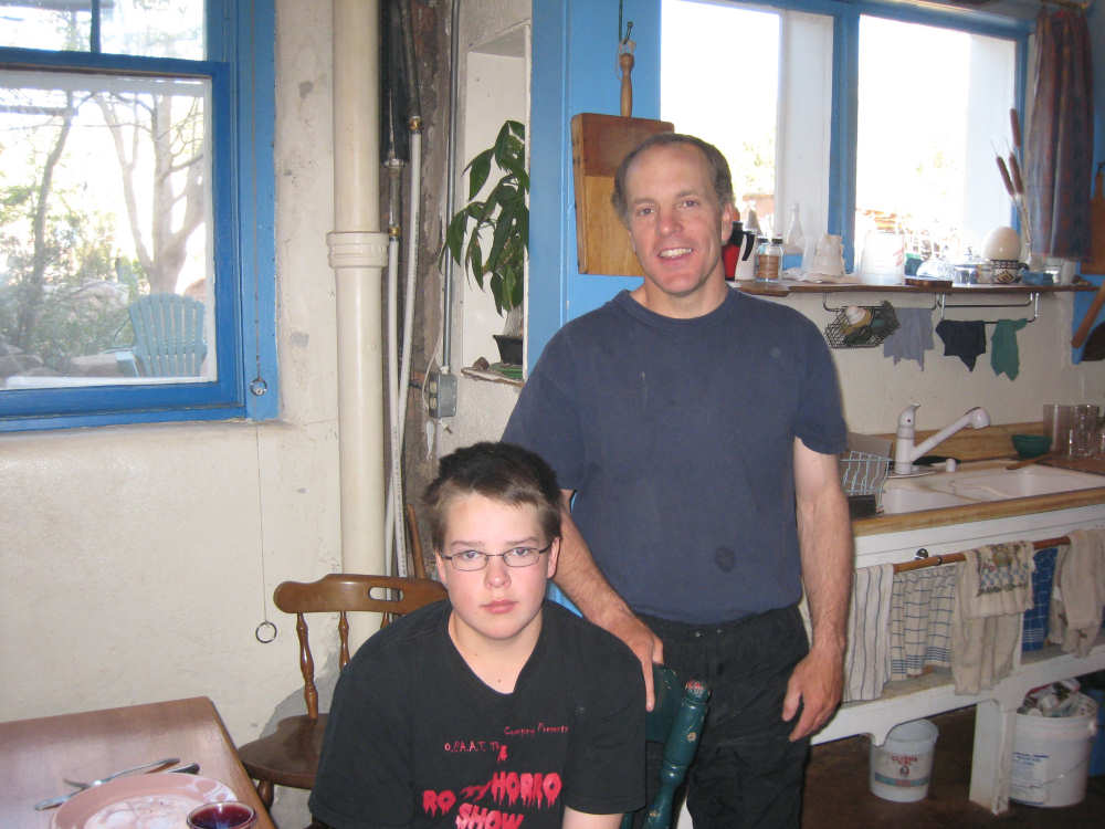
Ian and his son, Taran, from Vancouver, BC, Canada |
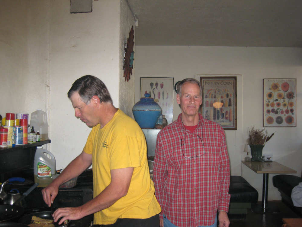
Tom, the resident housekeeper, smiles for the camera while Pete cooks up some eggs |
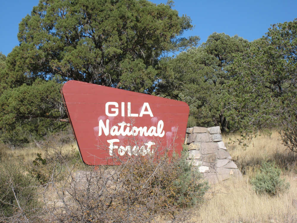
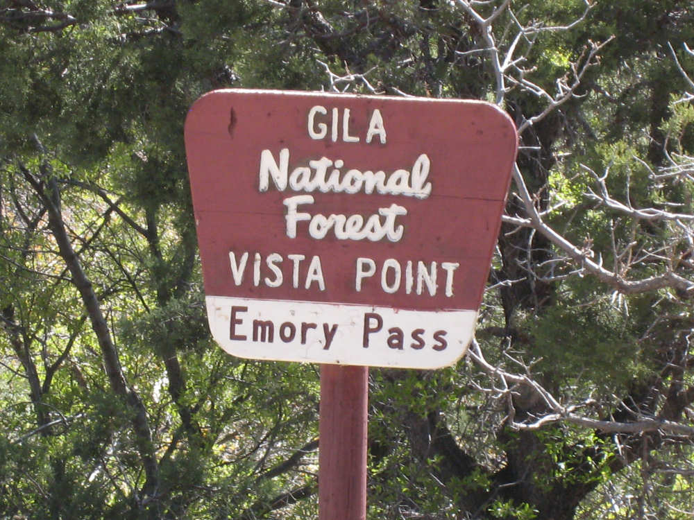
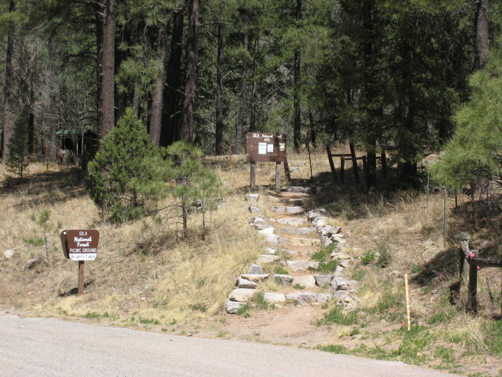
As we head up to Emory Pass, we enter the Gila National Forest |
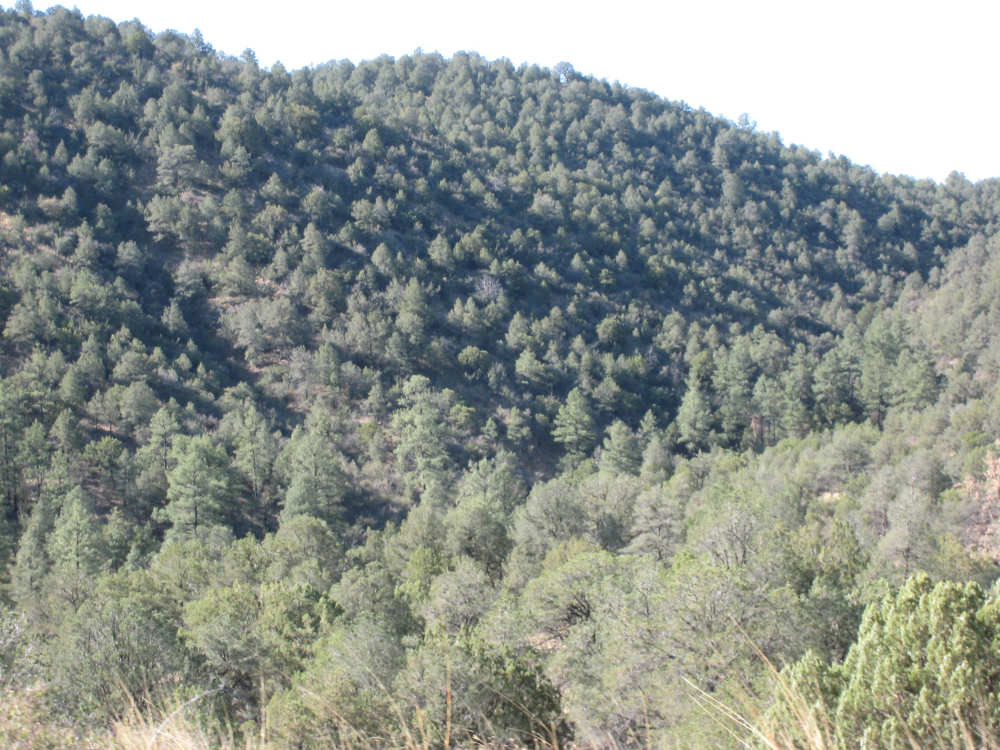
Trees cover the hillsides |
Another view of the trees on the hills |
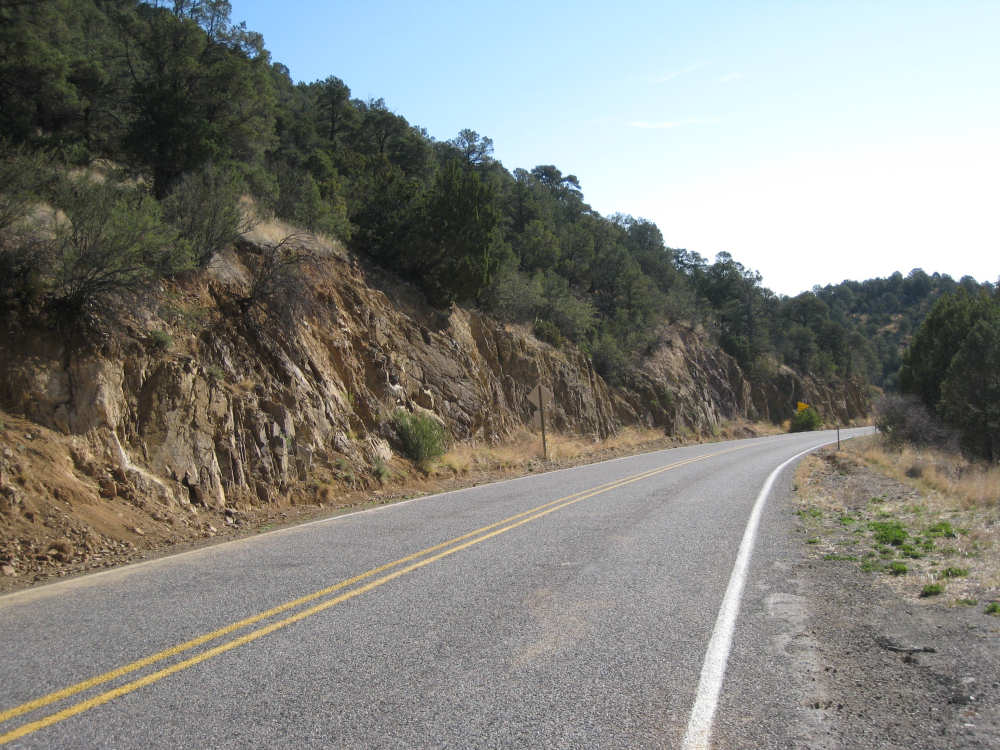
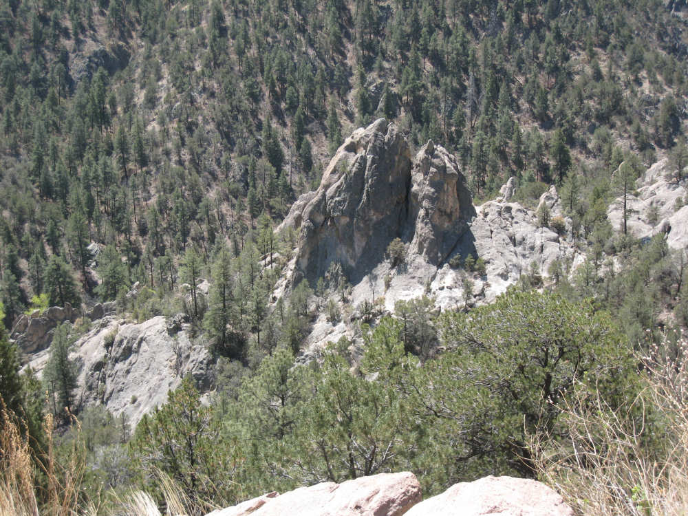
Rock edges along the road |
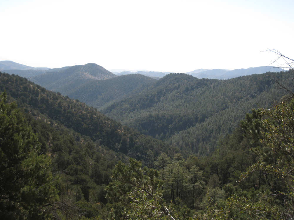
A view of the valley and surrounding hills part-way up |
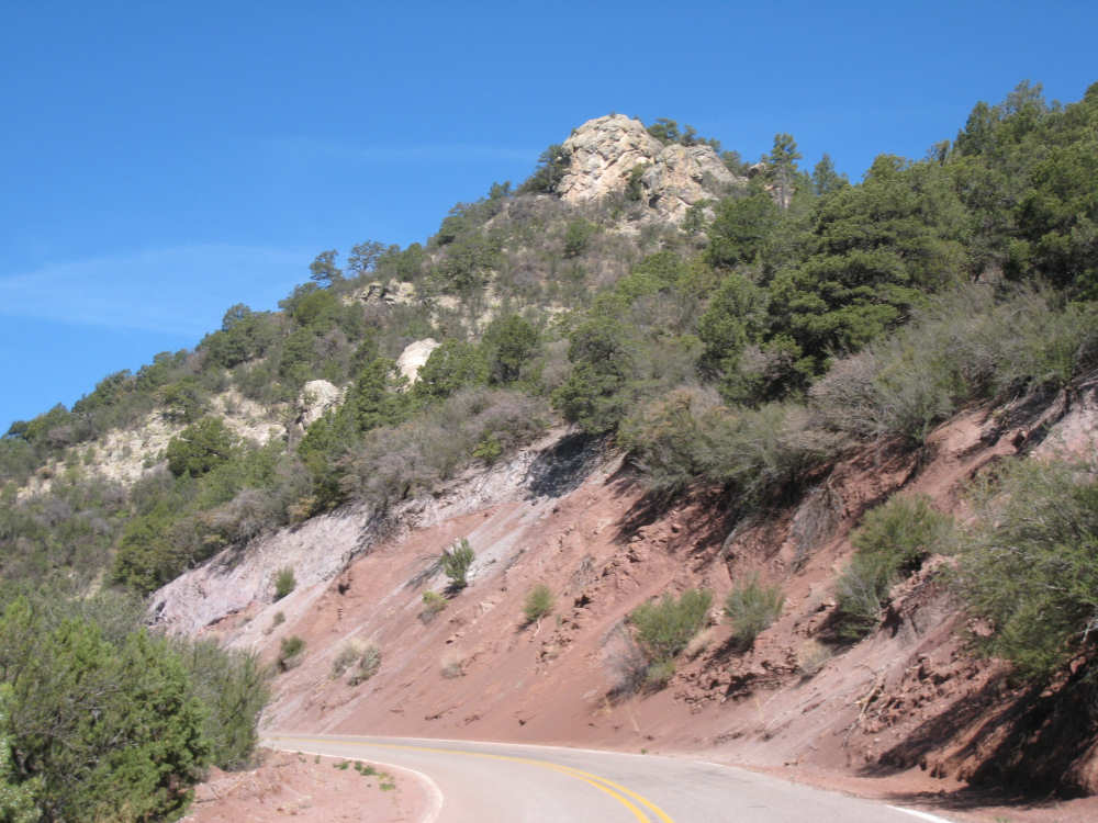
Reddish dirt on one stretch of the road up, and a high peak above |

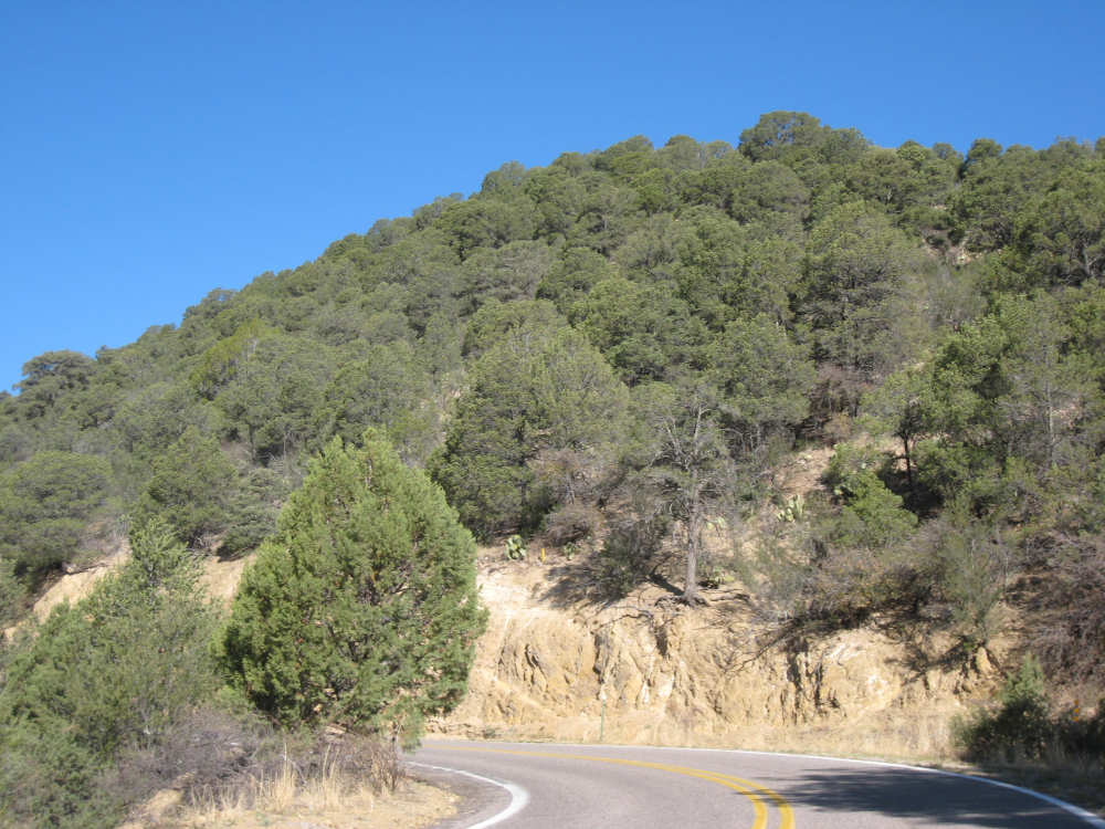
Another view, a little higher up |
Trees growing out of rock |
Nearly all the way up, looking down on layers of road that we traversed |
Entrance to Emory Pass |
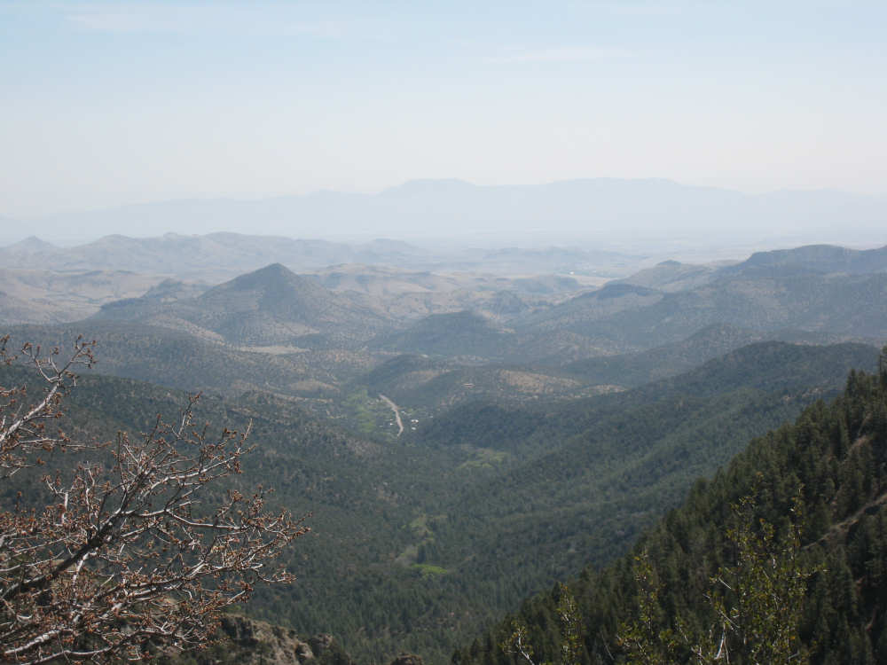
The view from the Pass - The white strip in the middle is Kingston, |
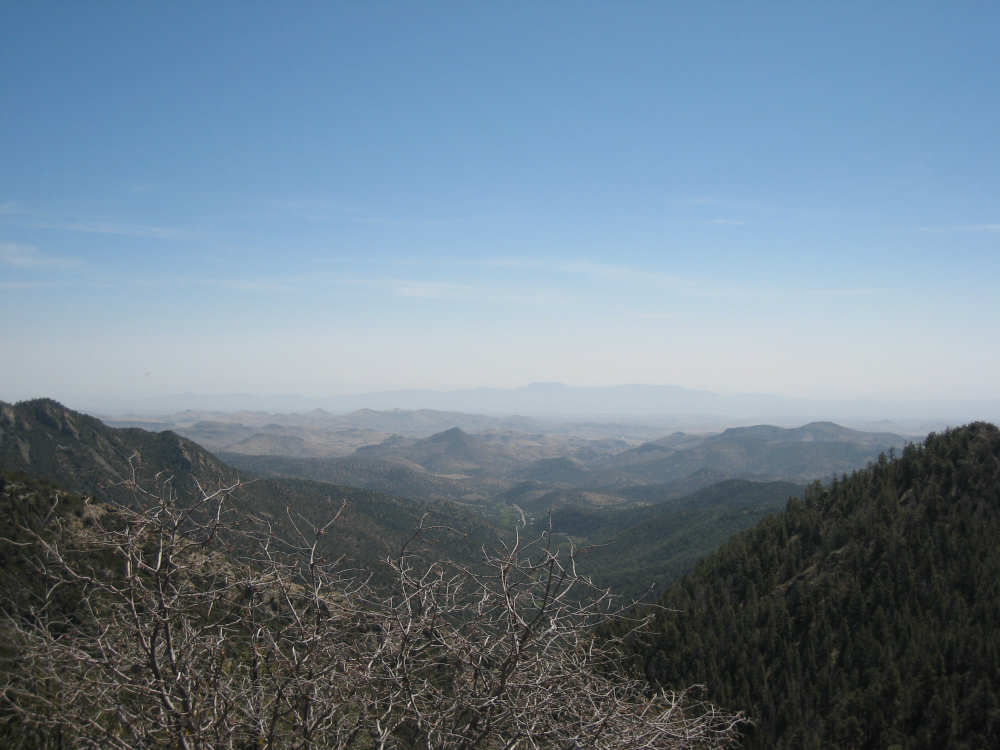
Another view from the top |
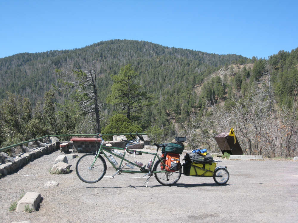
Our bike rests after its long climb to the Pass |
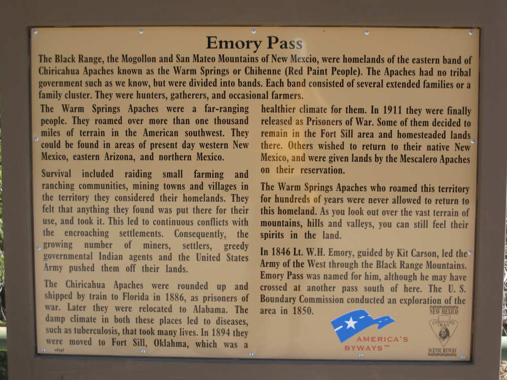
Some history of the area |
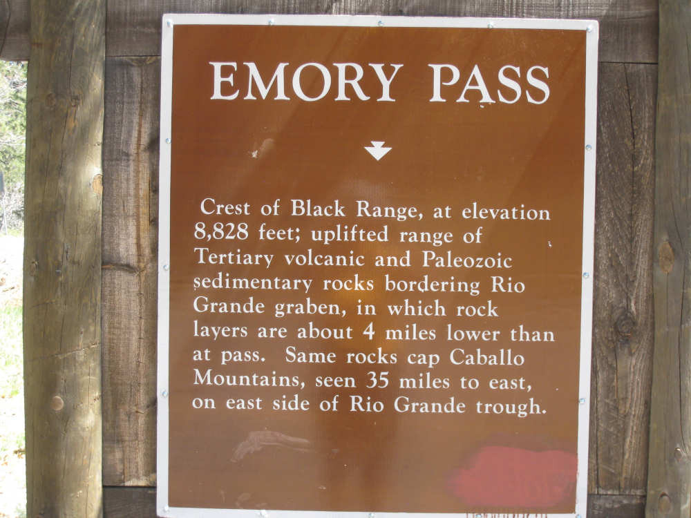
Some geology as well |
On the way back down, there were some campsites along the road |

And a stream with running water |

There was also this fantastic section with huge boulders |

|

|
Looking down on some boulders from a rise |
Midway down, looking back on the higher elevations |
And we're down at the bottom again |
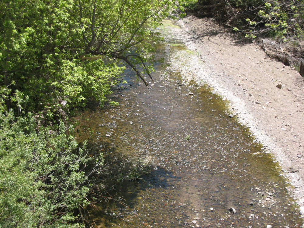
We pass the Mimbres River near San Lorenzo |
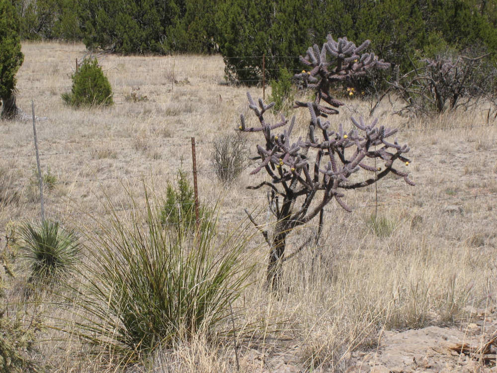
A cactus that we saw a lot on the mountains, this one beginning to flower |
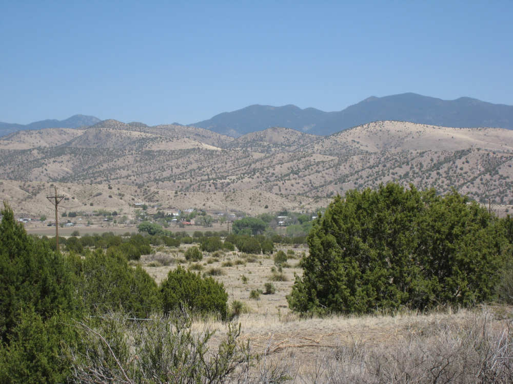
Looking back on the mountains on our way to Silver City |

One of the mountains of scrap dirt from the Saint Rita Copper Mine |
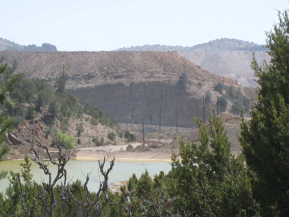
A strangely green body of water at the mine |

The mine pit, with a large bulldozer at the right edge and a car on a ledge below it |

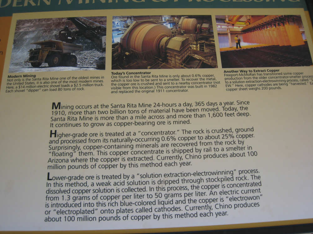
Some history of the mine |
|
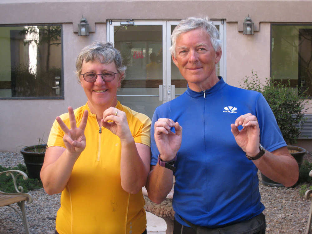
We hit 3,000 miles, a third of our route! |

Pat's mom, Eileen, toasts our reaching 3,000 miles in front of her route map |