Tuesday, April 29, 2008
Silver City, NM to Three Way, AZ
64 miles (3071 total miles)
We had a slow start again this morning, still worn out from yesterday's long haul, even after a good night's sleep. We had breakfast at the motel and then headed to a nearby grocery store for lunch, dinner, and breakfast supplies since we would be camping tonight with no food available. We finally headed out at 8:10 and had a short climb out of Silver City. It's a shame we didn't see more of the town than the commercial strip we came in on. I'm sure it's a lovely town with a lot to offer. Apparently it's quite a biking mecca; in fact, the town was gearing up for a 'Tour of the Gila' bike race the following week - we were glad we would be out of town when that hit. In any case, we got a couple of pictures of the town as we left.
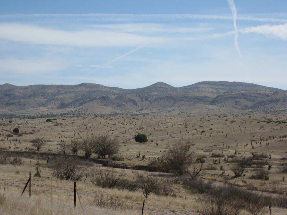
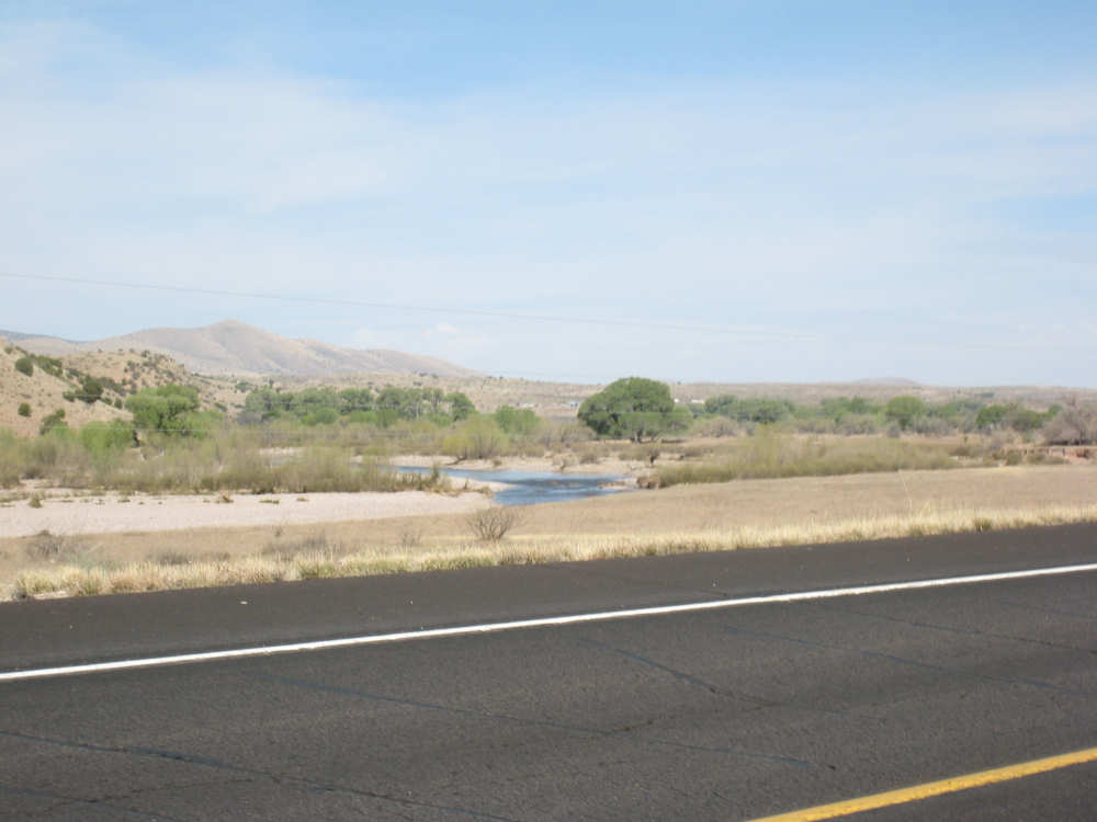
We started out with a short, steep climb up to the Continental Divide, which turned out not to look like much, but luckily there was a sign so we knew we were there. After that, it was a nice, long descent for the next 25 miles or so. It was delightful biking - cool temperature, little breeze, a gentle enough grade that we didn't have to worry about braking, and beautiful scenery. We were glad to be able to enjoy our last day in New Mexico with such a relaxed morning ride. We went past rolling hills dotted as usual by short vegetation. In one large area, the plants were all yuccas, which seemed strange but looked very pretty. The whole area looked a lot greener than we've seen lately and had a very warm, peaceful feel to it. There were ranches spaced out over the landscape as usual and we passed cattle and horses every now and then. We saw another rabbit (not a jack rabbit) and 3 deer who, for once, did not immediately run off. I just barely managed to get a picture of one of them as we rode by. We passed by a couple of small towns, Mangus and Riverside, marked only by a few houses. Riverside is so named because it was by the Gila River, which actually had quite a bit of water coursing through it, although its banks looked like it could hold a lot more. We also went by Black Smith Canyon which went on for miles. The creek that flowed through the canyon was just a trickle of water, but the gorge it formed snaked through a lot of countryside and was quite wide in places, sculpting some interesting shapes out of the earth in its path.
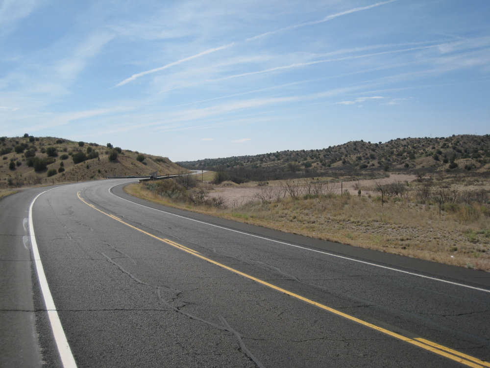
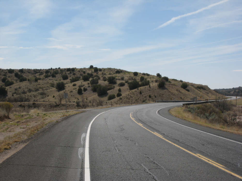
We got to the town of Cliff at mile 30. Cliff was the one town we knew to have a little store that sold food. We got a couple of microwave cheese burgers, a soda and coffee and some brownies for the road there. We heated and ate our burgers there, and refilled our Camel-baks with water. It was a friendly little store with a steady stream of locals who chatted with each other. We went on again and had more lovely scenery, now with a gentle climb. Our next town was Buckhorn, which had a post office, a trading post which had closed, an RV park, and a saddlery store which also seemed to sell soda, ice, and pizza. We were pretty well stocked by now, though, so we passed it up. About 10 miles after Buckhorn, we turned left onto Rt. 78 where we knew we would find the hardest climb of the day. The sign that greeted us at our turn was still a little discouraging, though (see below). The road also got a little rougher and the wind started to pick up. Our early morning tiredness started to deepen. However, the scenery was still gorgeous and helped keep our spirits up. We ran into some bike difficulty - our chain slipped and got stuck between the gears and the wheel. Not a serious problem except that we had to take everything off the bike to fix it. It only took about half-an-hour but 3 different people stopped to ask if we were all right or if we needed anything. That was very reassuring, especially since there wasn't much traffic in general. We were soon on our way again, chugging up and down hills. The steepest grades, of course, were at the end when we were really looking forward to our destination, primitive though it might be. We saw one other touring biker, going the opposite way, but he did not seem inclined to stop and talk.
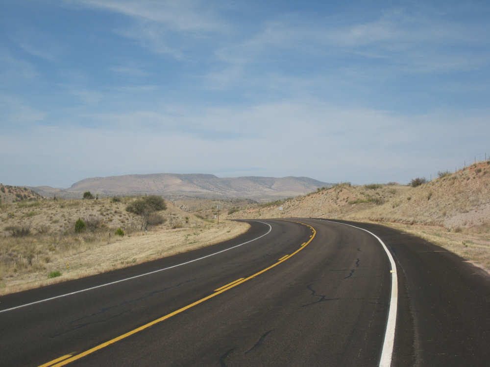
Towards the end of the route, we went through the little town of Mule Creek. It was mostly houses and ranches and very scenic. The road had clearly been patched repeatedly in at least 3 places where it seems that creeks wash over the road regularly. We entered the Gila National Forest at some point on Rt. 78 and later entered the Apache National Forest. When we reached a peak which we expected would be the Arizona border, we looked back to see a beautiful Welcome to New Mexico sign (if you remember, we missed seeing one when we entered New Mexico). We thought Arizona was going to disappoint us, but around another bend, we finally saw it ahead. So we said a sad goodbye to New Mexico and entered our 14th state. After another mile and a bit, we saw the sign for our night's lodging, Cold Creek Campground; we arrrived at 5:30, after 63.5 miles in almost 6-1/2 hours of bike time. Cold Creek is a US Forestry Service-maintained campground with 5 campsites, each with a picnic table and campfire grill and room for tenting. There was one set of pit toilets and nothing else. No water, no electricity, no cell phone service. So today's posting will have to wait until we reach some semblance of civilization tomorrow night in Safford, AZ. We expect to take a rest day in Safford to catch up on some rest and firm up plans for the next week or two.
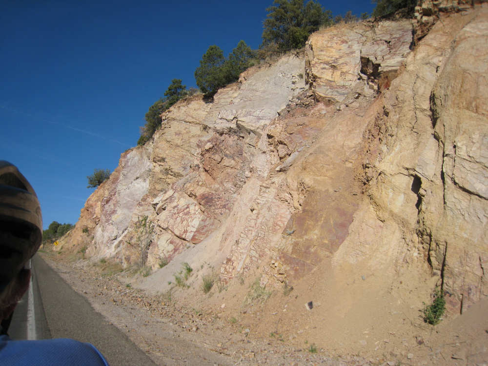
Some interesting rock edges as we leave Silver City |
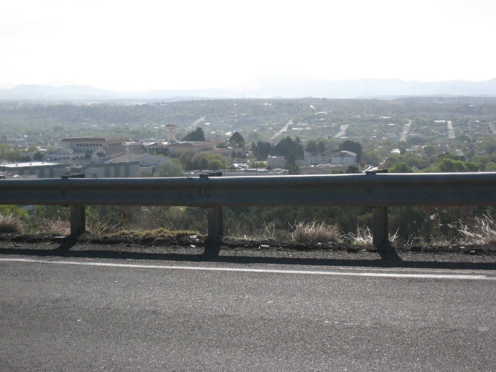
Silver City lies below as we climb out of town |
Houses below and hillsides beyond |
Some interesting rock formations on the outskirts of town |
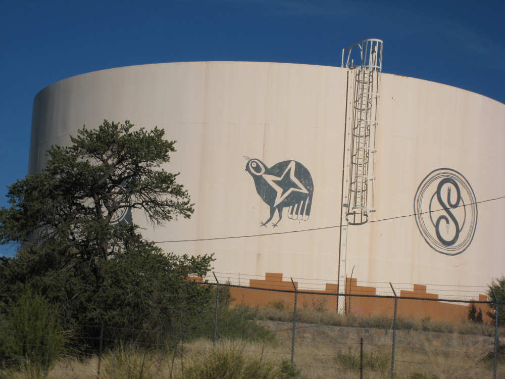
Large water cisterns at the edge of town decorated by old Native American symbols |
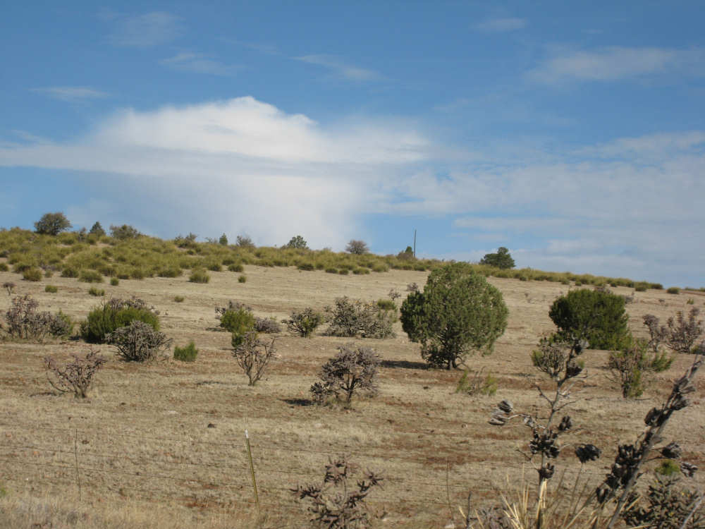
The early morning landscape |
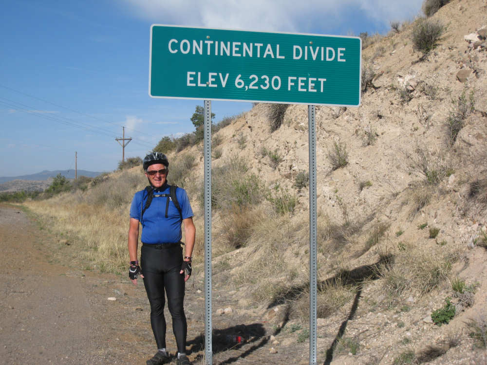
We reach the Continental Divide - ready to flow down to the Pacific! |
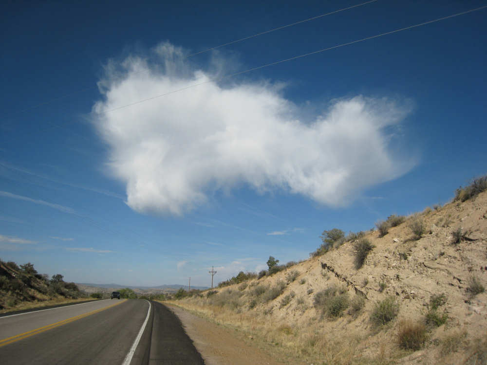
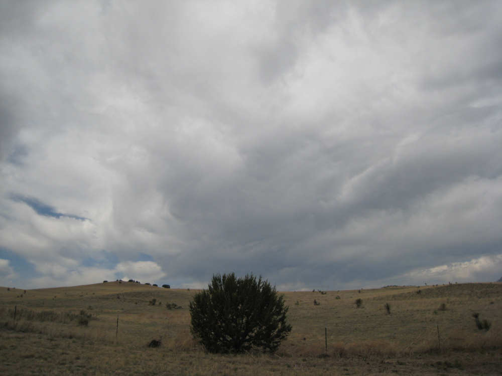
A lonely cloud in the big New Mexico sky |
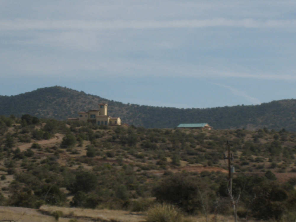
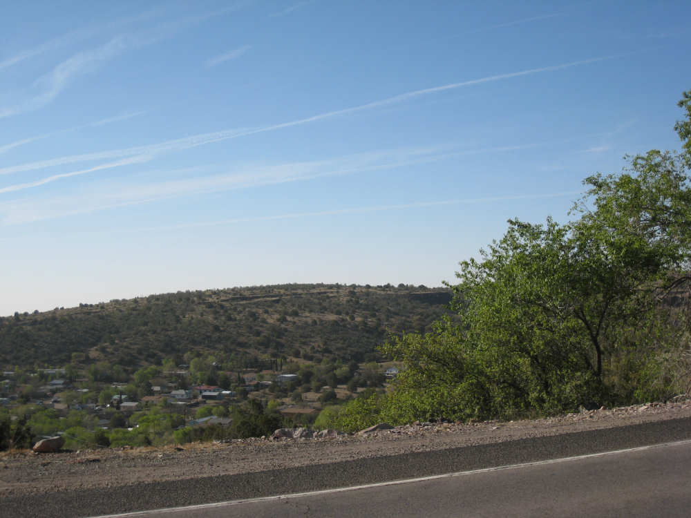
Houses tucked up on the hill |
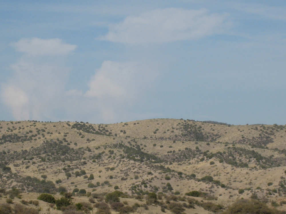
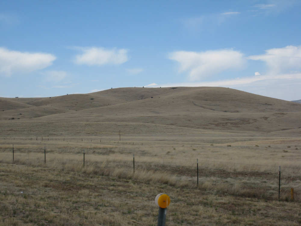
The landscape becomes more rolling |
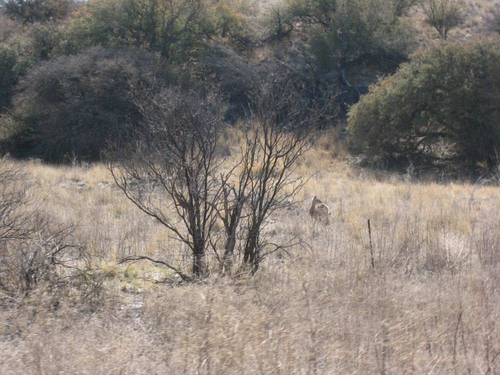
A deer in the grasses by the road |

Black Smith Canyon and another friendly sign |
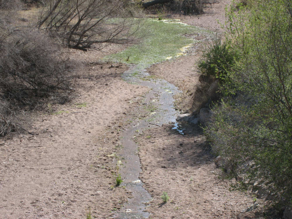
The trickle of water at the base of Black Smith Canyon |
The canyon-side is dotted with yuccas |
The river path reaches a wide point |
Beautiful hills sprinkled with shrubs |
A row of buttes ahead |

Don't know who Bill Evans is... |
but he has a beautiful lake named after him |
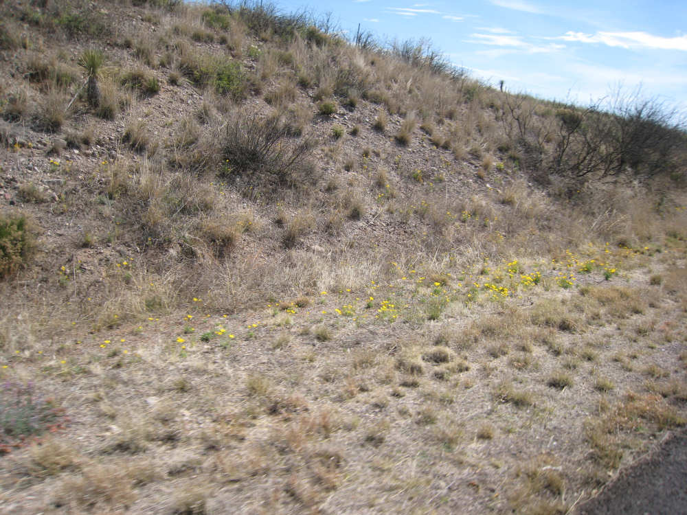
There were several spots with flowers lining the road |
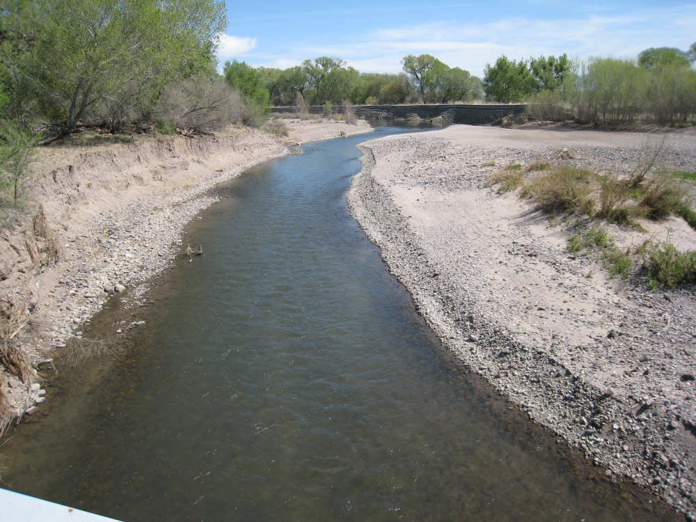
The vibrant Gila River |
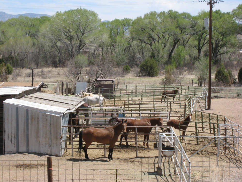
One of many horse ranches |
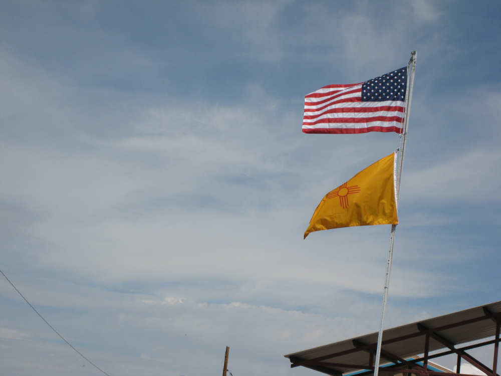
A highway maintenance building flying the US and New Mexico flags |
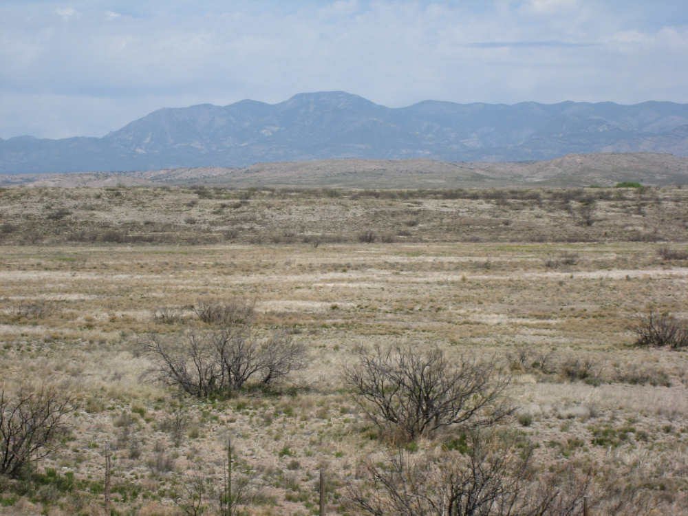
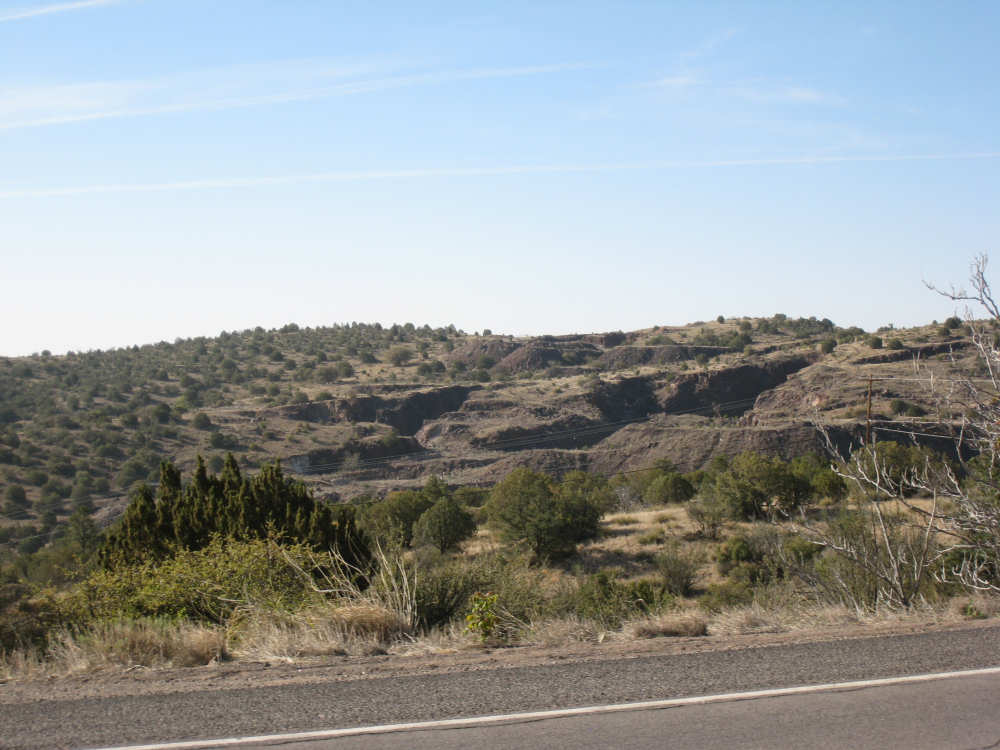
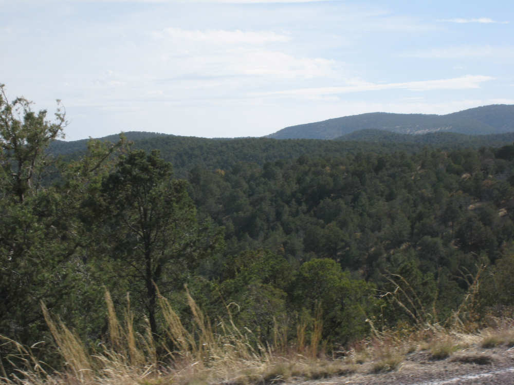
The landscape changes again, with rockier areas, mountains in the distance |
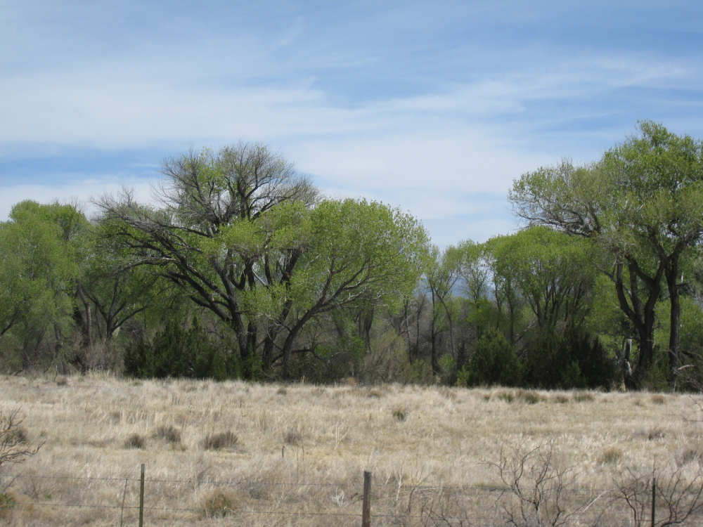
Trees line the creek running through here |

Buckhorn's 2-building Main Street (and one of them is closed) |
This rock face had a limestone look with plants growing in all the crevices |

Another point where the canyon gorge gets very wide |
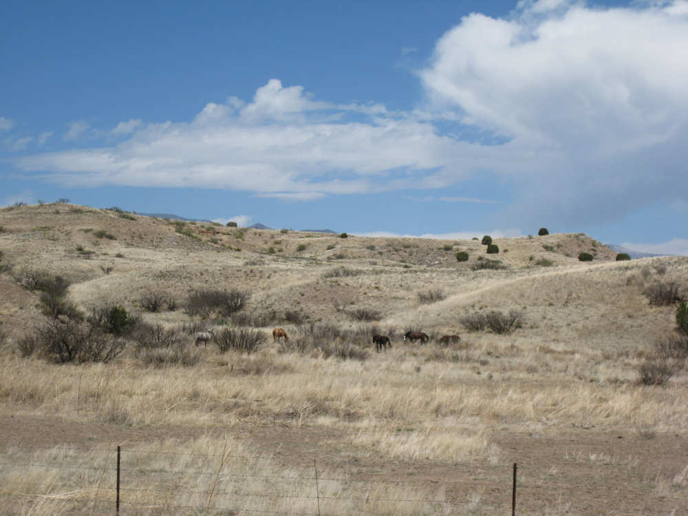
A pack of horses eating the long, pale grasses in this area |
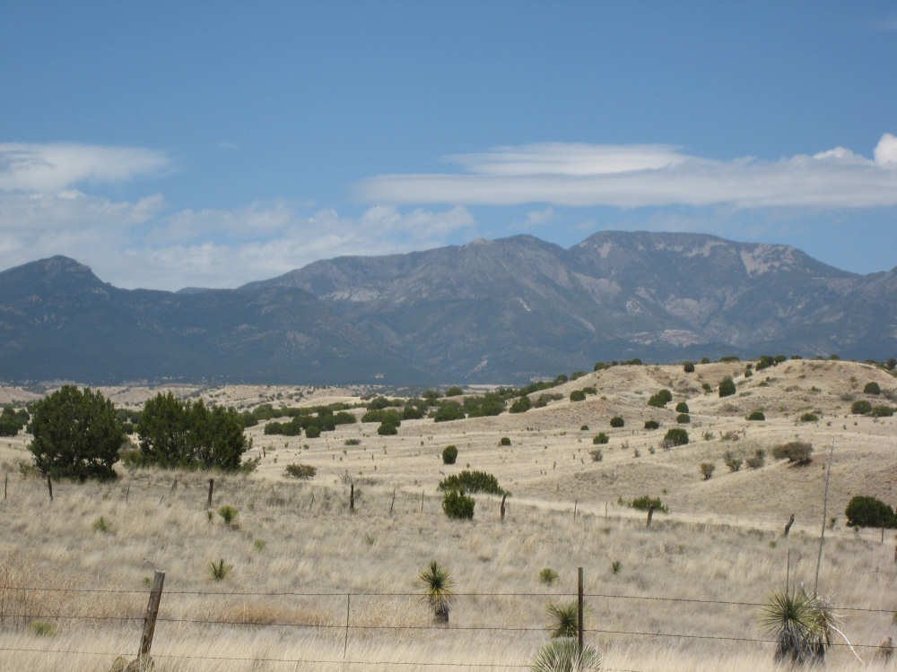
The distant mountains get nearer as we approach Rt. 78 |
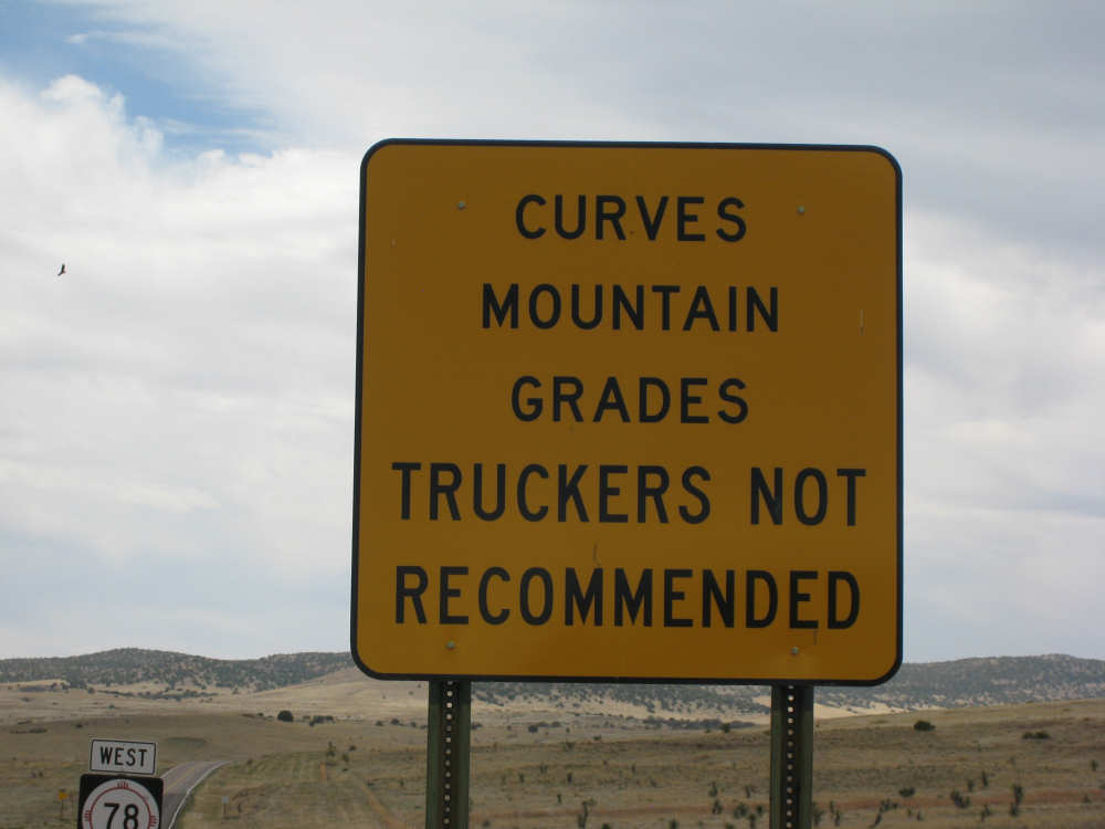
Now there's an encouraging sign |
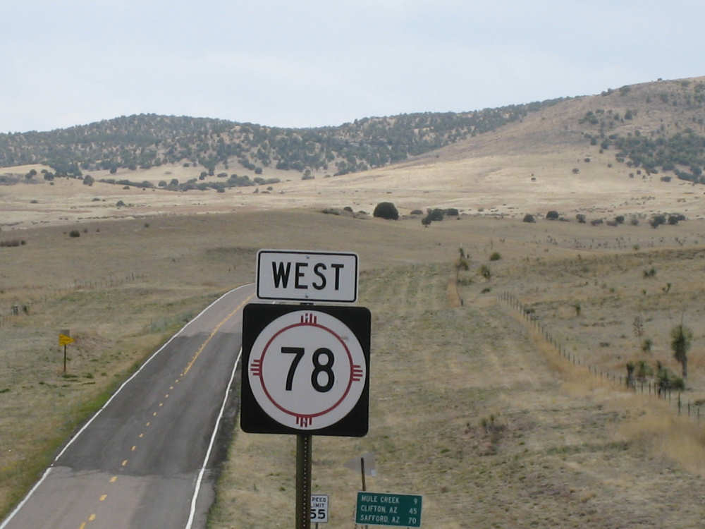
Pat thought it awfully strange how the more distant signs looked so small |
Looming clouds (while we were fixing the bike) over stark landscape |
The hills get softer and paler |

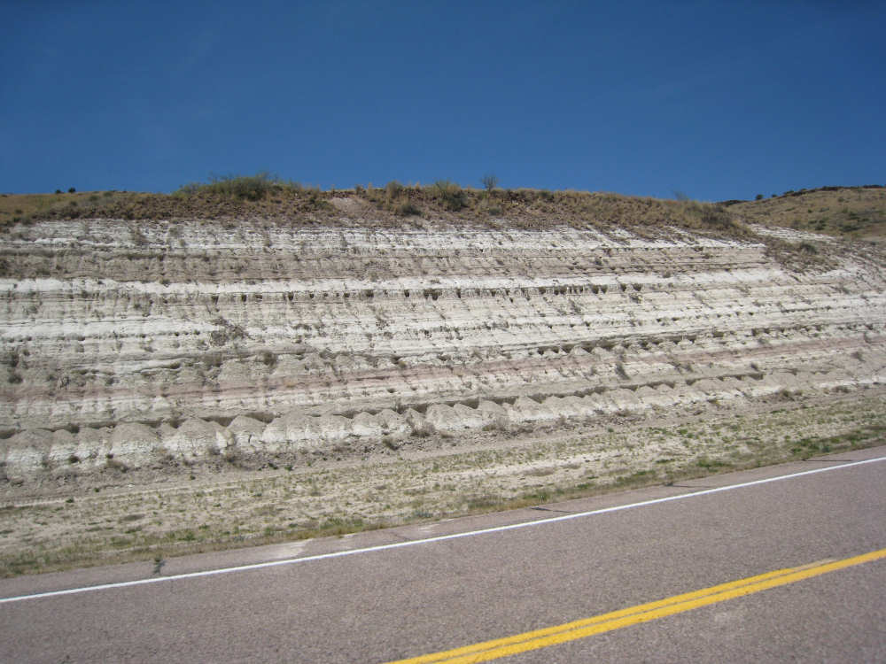
As we reach the peak, we see strange rock forms that looked like sandblasted concrete |

A gorge with other strange looking rocks |
The view from the peak |
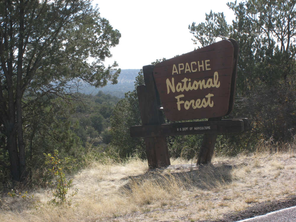
Entering the Apache National Forest |
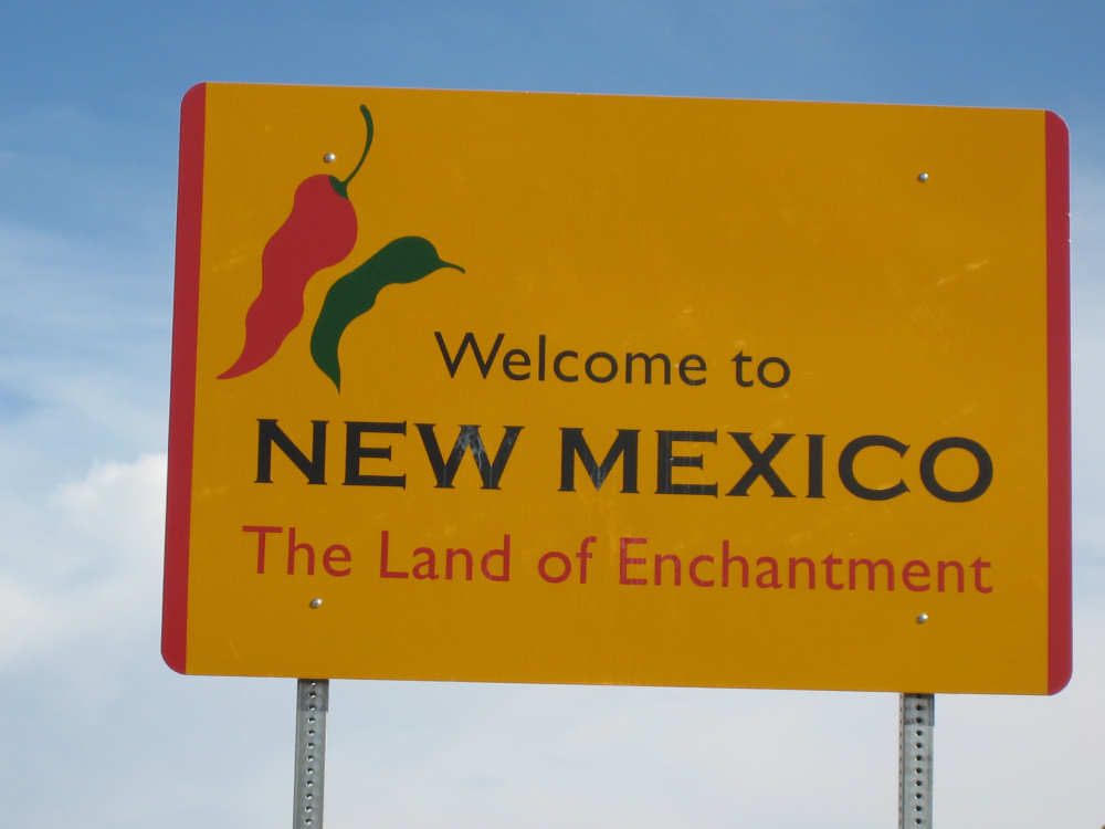
And leaving New Mexico |
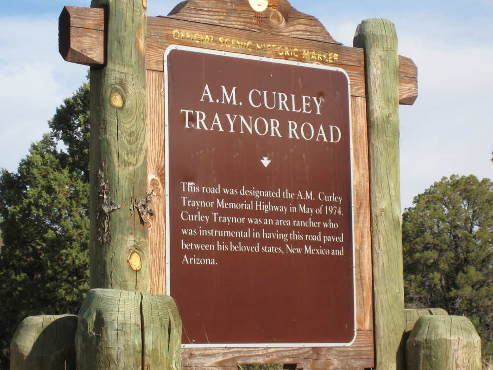
A historical marker between the 2 welcome signs |
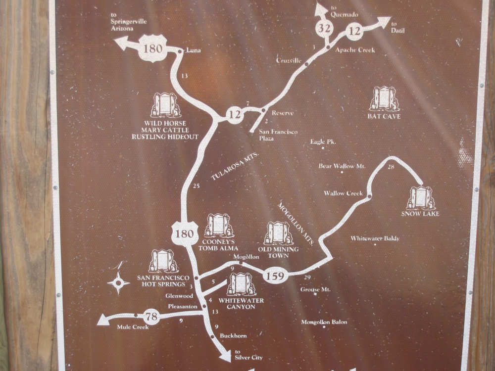
And local points of interest on the other side |
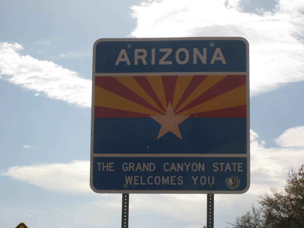
Our welcome to Arizona |
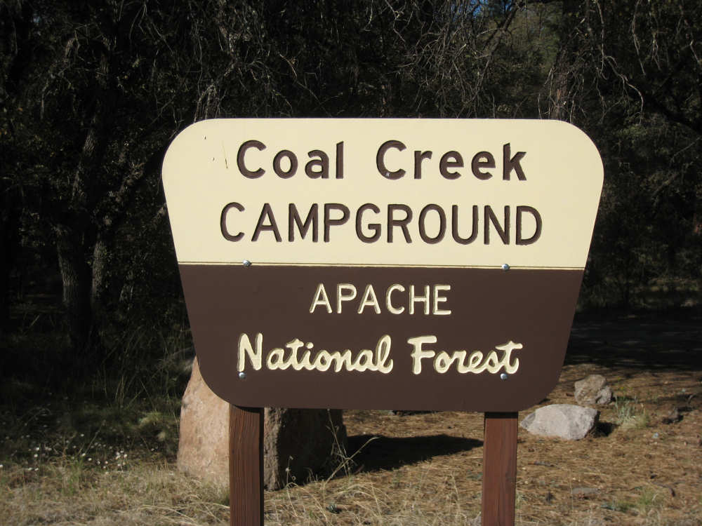
And to the campground |
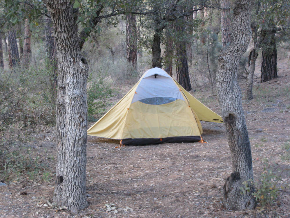
Our tent set up among the trees |

Pat - the happy camper |