Monday, August 04, 2008
Gettysburg, SD to Pierre, SD
57 miles (7032 total miles)
I didn't think we'd have any pictures for you today - it rained most of the day (luckily, no hail this time, though). However, we do have a few pictures from the beginning and the end of the day's ride. Besides the rain, it was an easy day - very few hills with a tailwind most of the day. We left at 7:30 this morning and arrived at our motel in Pierre at 1:30, 56-1/2 miles with just under 5 hours of bike time and only another hour of elapsed time (and that included stopping for pictures in Pierre). Being rained on definitely increases our incentive to keep moving!
Most of the day was on fairly level ground, with just 3 hills of any significance, all near the end of the day. We went through the usual farmlands and saw cows, horses, and sheep as usual. One thing we noticed is that corn fields amplify the sound of rain & wind more than other crops do. When we first passed a corn field, I thought it was raining harder over the corn than on the road, where it was only drizzling, but then we realized all the corn fields sounded that way, while the other crops didn't. One of those interesting things you notice on a bike that you wouldn't necessarily in a car! We also passed more wetlands, with crops planted around them usually. There were always a number of birds enjoying the water.
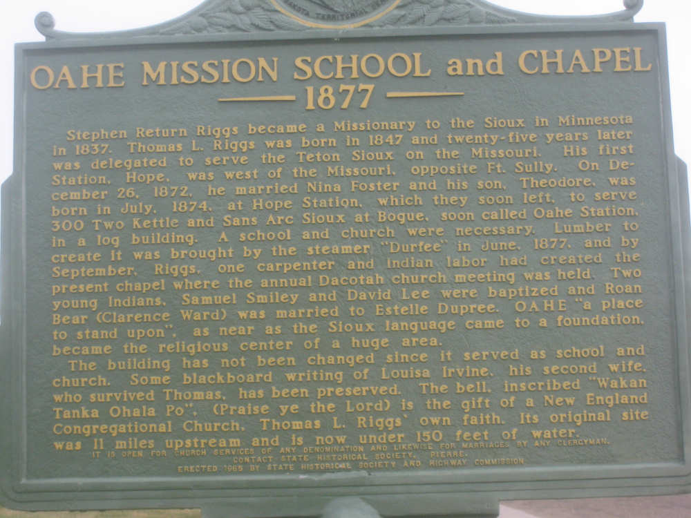
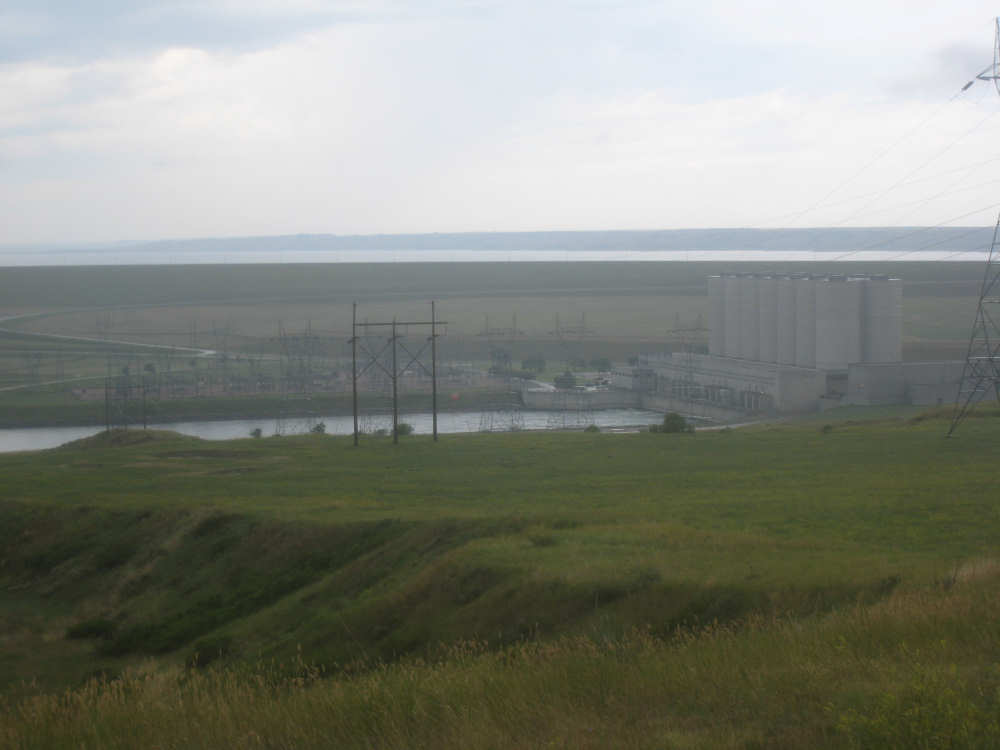
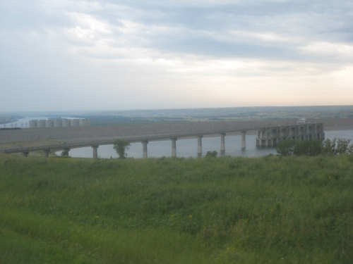
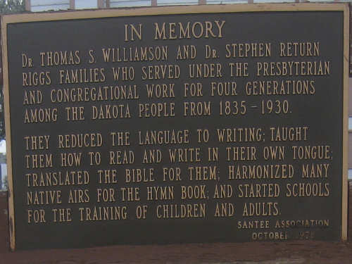
We approached Pierre, the state capitol, and saw the Oahe dam which I promised you yesterday. There was a pause in the rain so we got the camera out and got some shots of the dam, the hydroelectric plant there, and the Missouri River downstream of the dam. There were also a number of historic markers in the area so we snapped a bunch of them. One of the interesting things pointed out in the markers is that many of the historic sites are now under water due to the dam. Some buildings or other artifacts from these places have been moved (e.g., Medicine Rock, described in a marker a couple of days ago). A chapel built in 1877 was among these buildings and was moved to a spot near the dam.
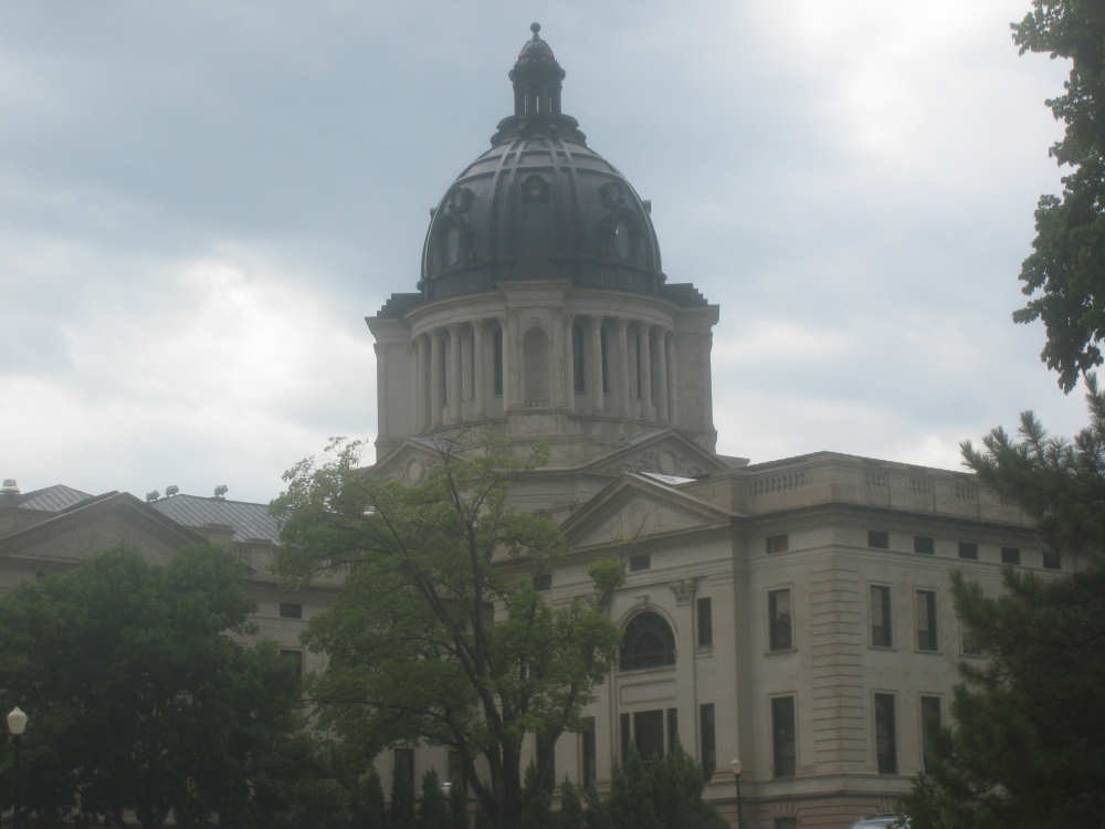
Our motel is near the capitol building so we got a picture of that, as well as the small lake with a lovely armed services memorial near it. By the way, the locals call this town "Pier", just so you don't sound like tourists if you ever visit. We have one more picture to add - we hit 7,000 miles today!

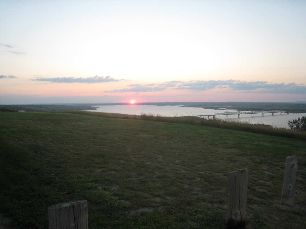
Last night's sunset at Bob's Resort
|
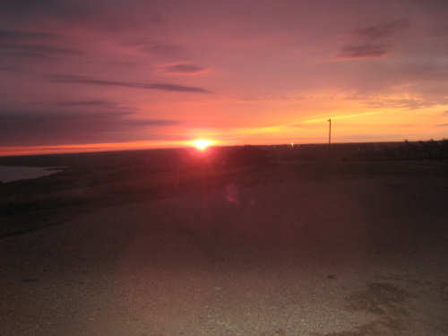
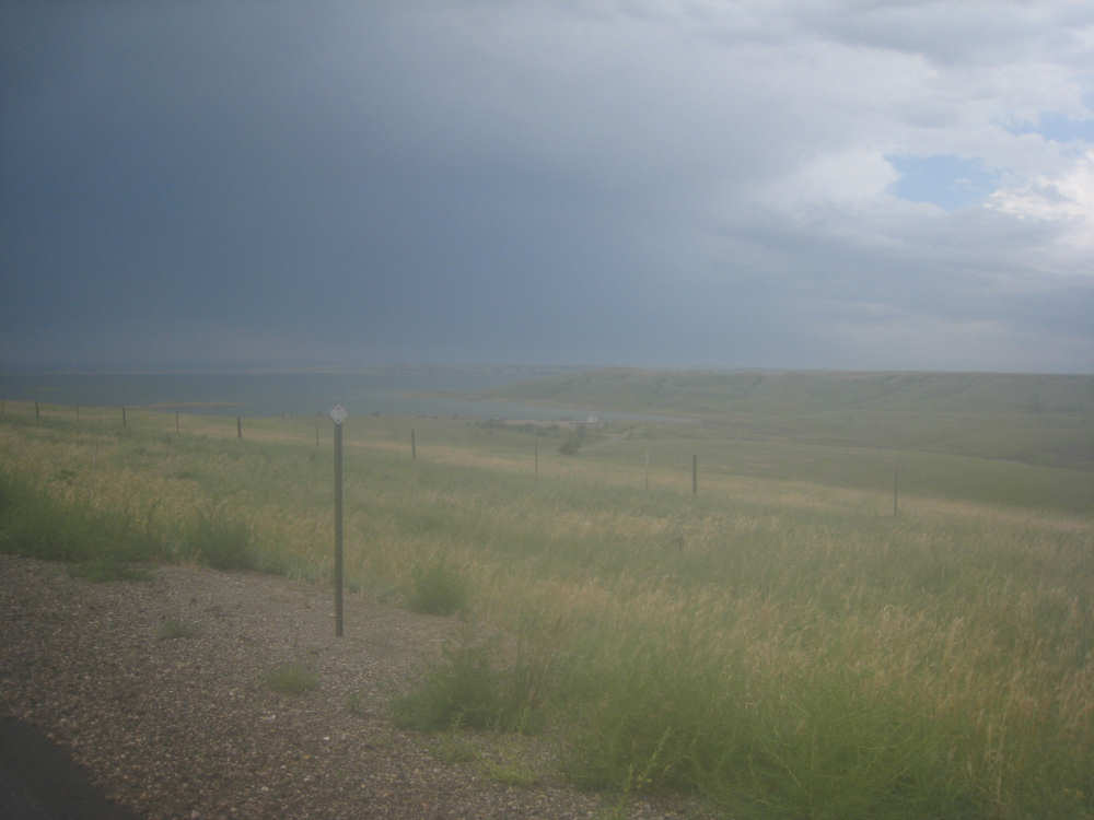
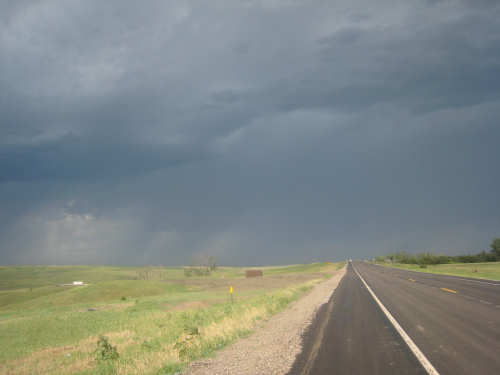
This morning's sunrise - shortly followed by rain and strong winds
|
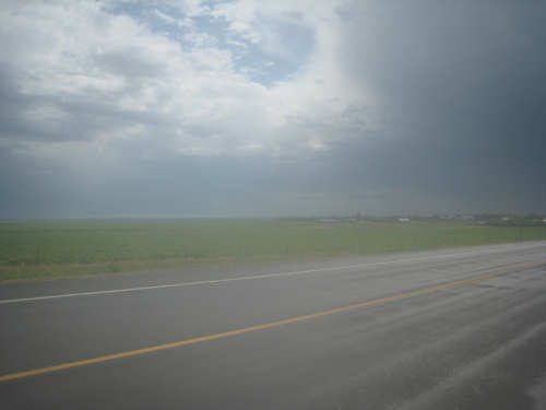
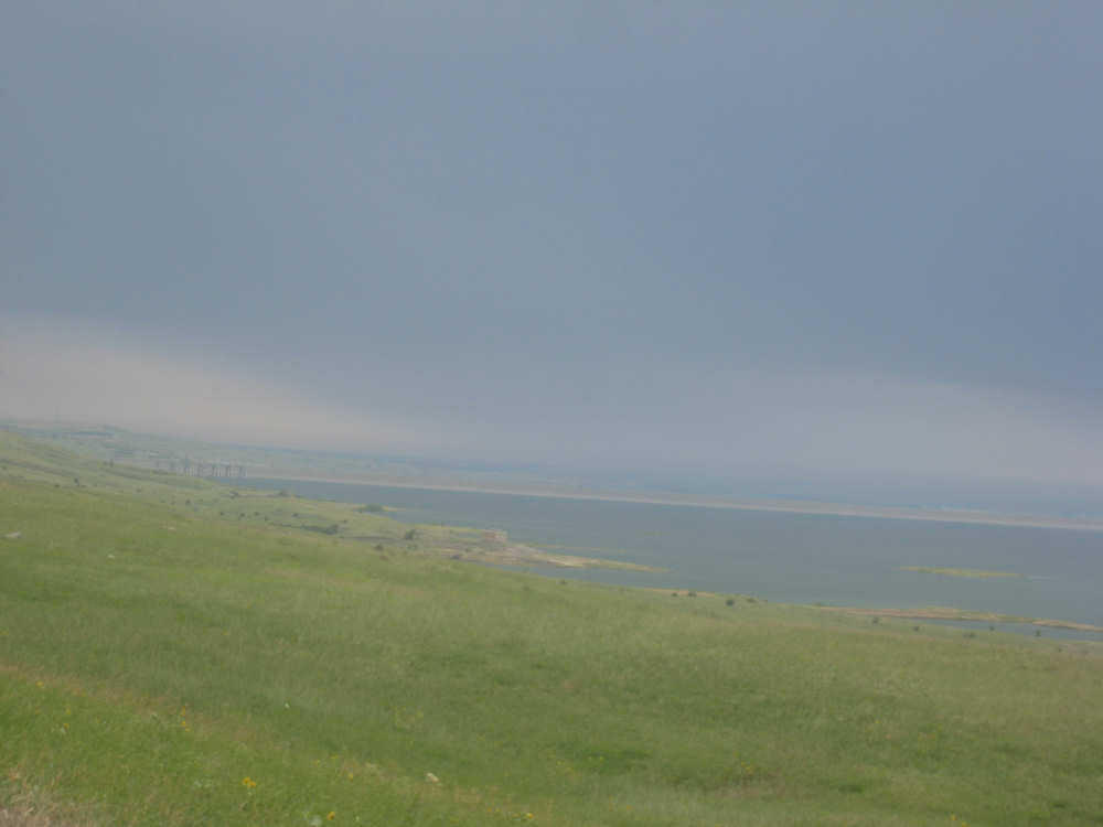
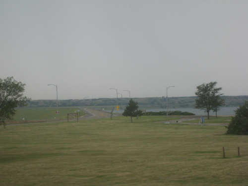
Approaching Pierre, a small break in the clouds
|
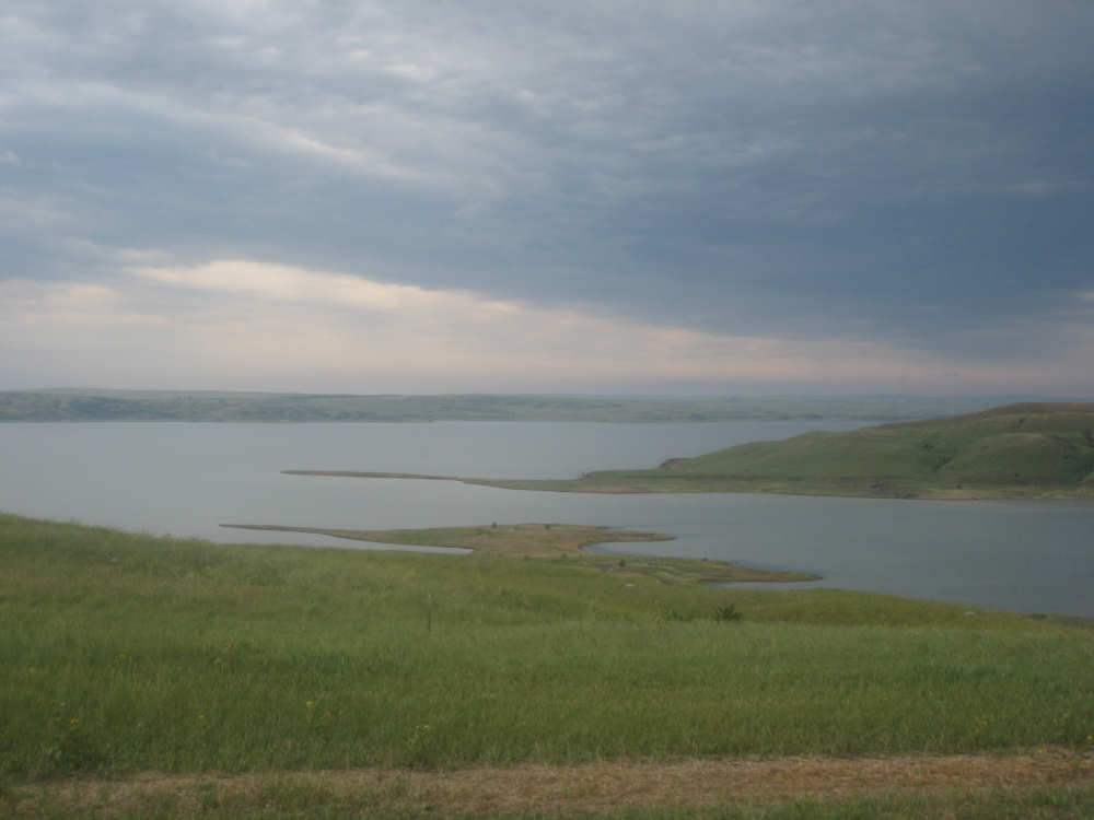
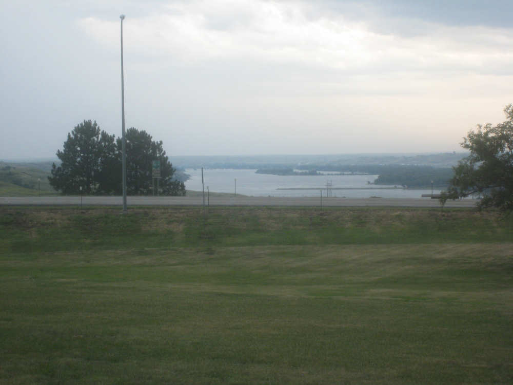
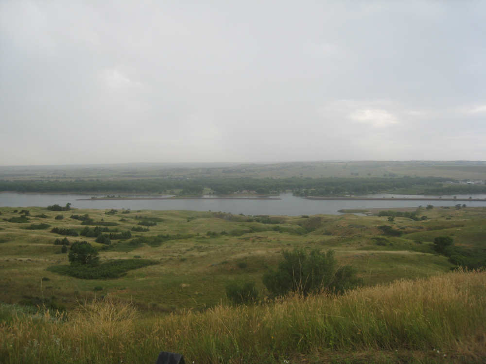
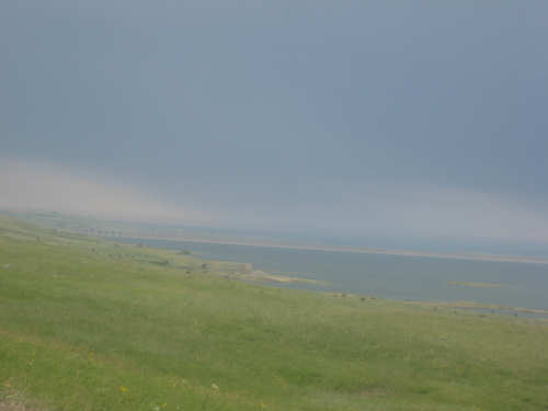
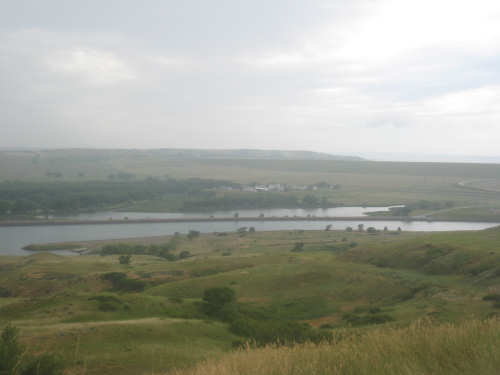
Lake Oahe comes into view, just upstream of the dam
|
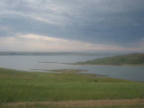
You can just see the dam here - it's the long pale strip going all the way across the lake
|
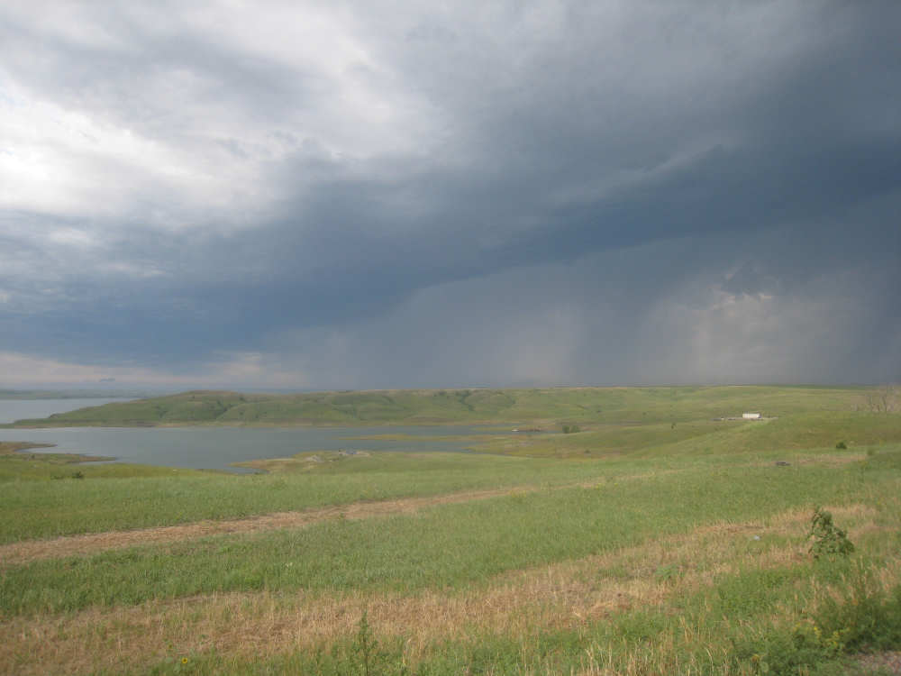
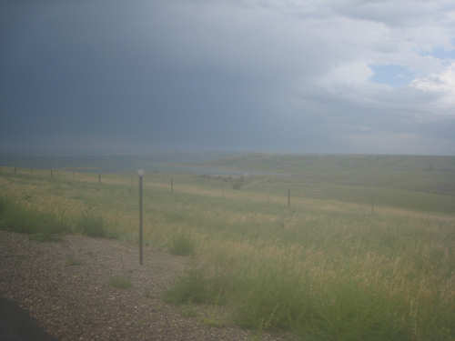
Storm clouds just behind us...
|
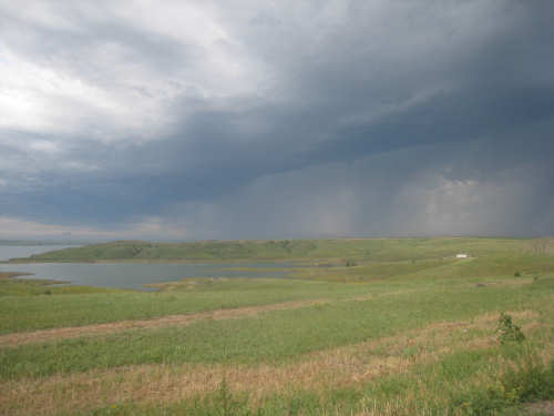
and closing in to our right, over the lake
|
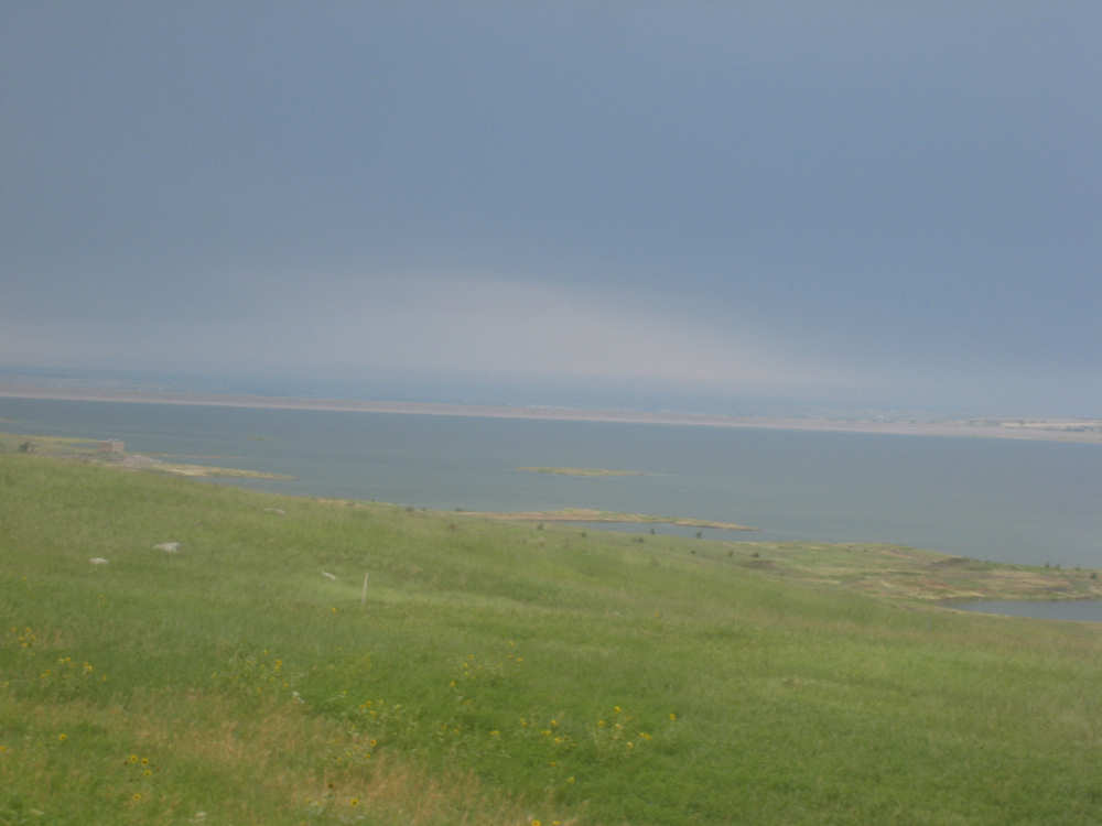
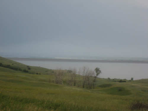
Two spits cut into the lake
|
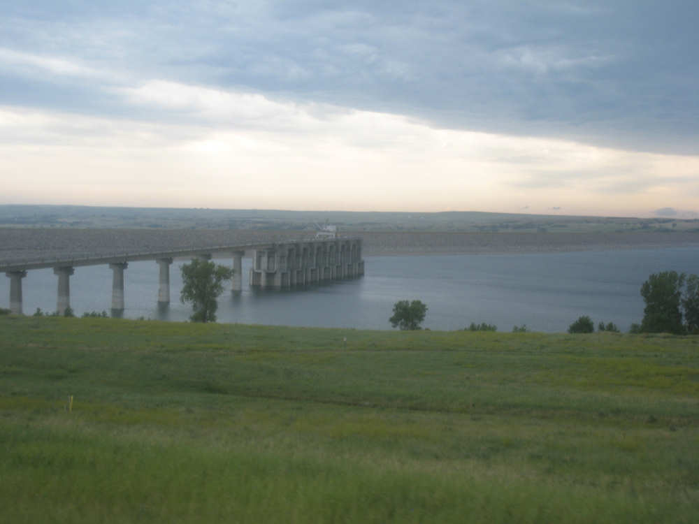
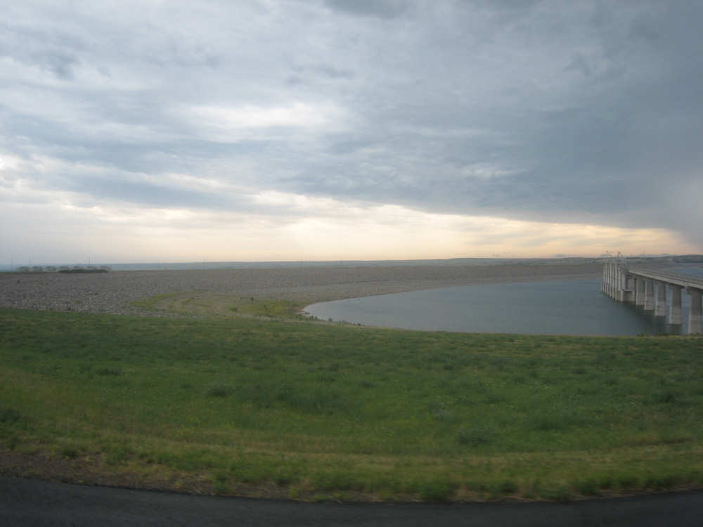
Another closer view of the dam
|
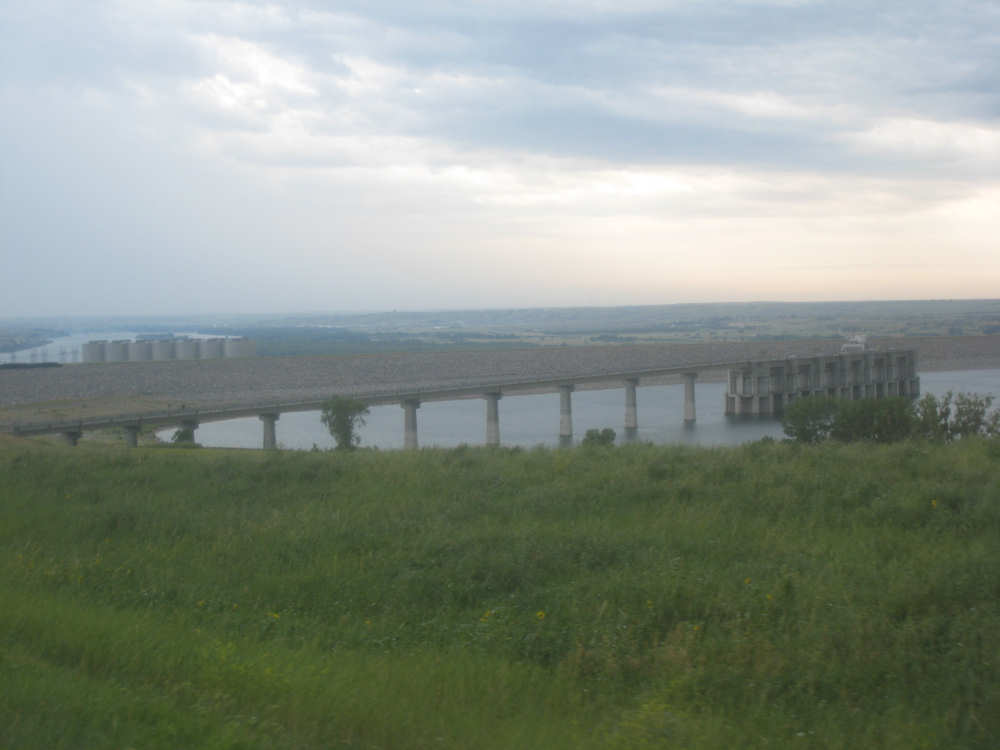
At the edge of the dam, a partial bridge (under construction?);
the cylinders at the back left are part of the electric plant
|

These show more of the dam going across the lake
|

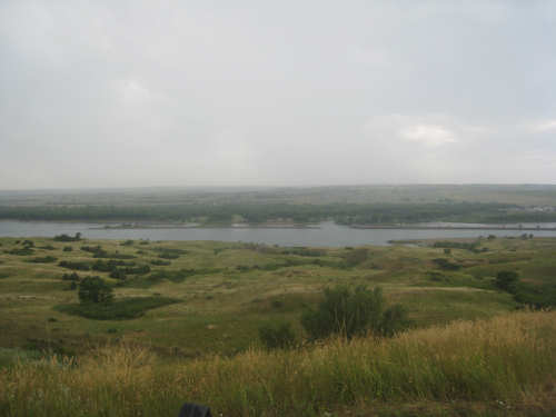
The river downstream of the dam
|
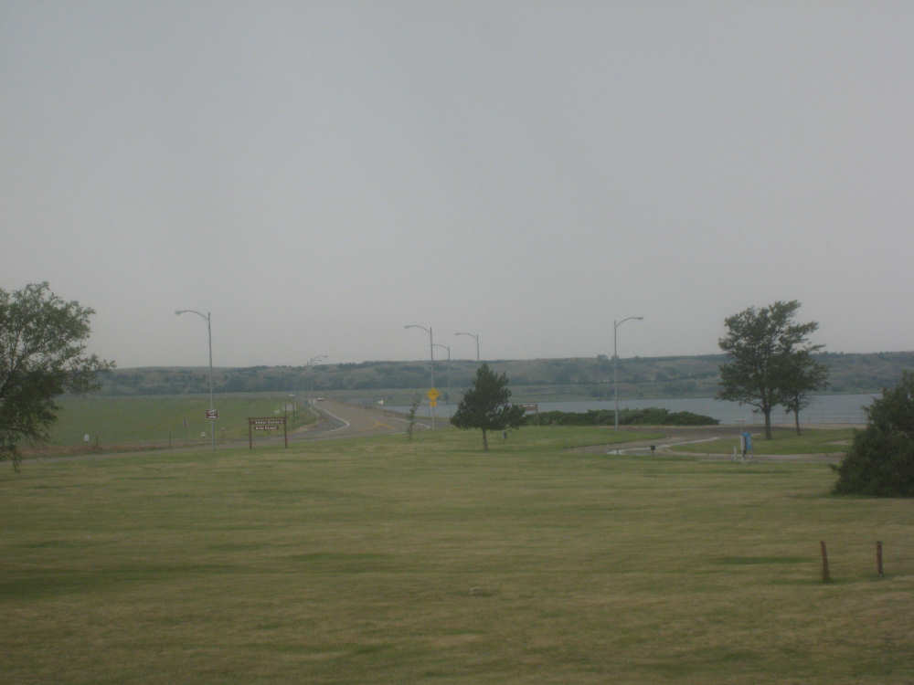
The road across the dam
|
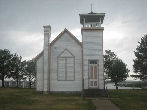
The chapel that had been moved to a site near the dam
|
The markers near the chapel
|
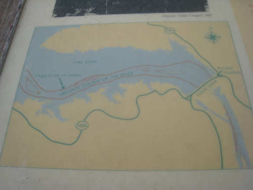
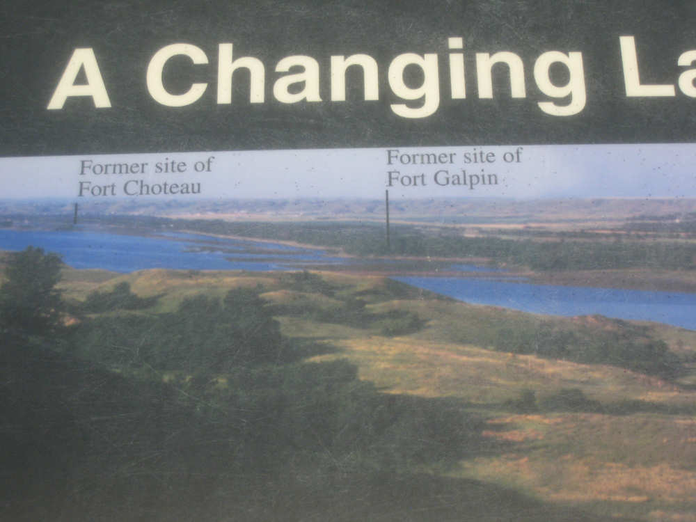
Also at the chapel, this marker shows the original site of the chapel
|
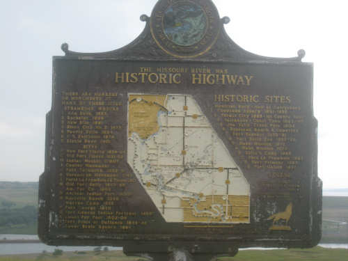
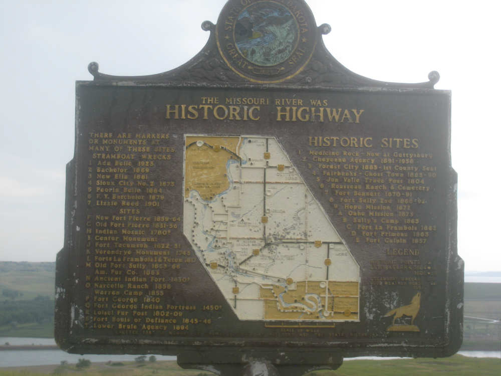
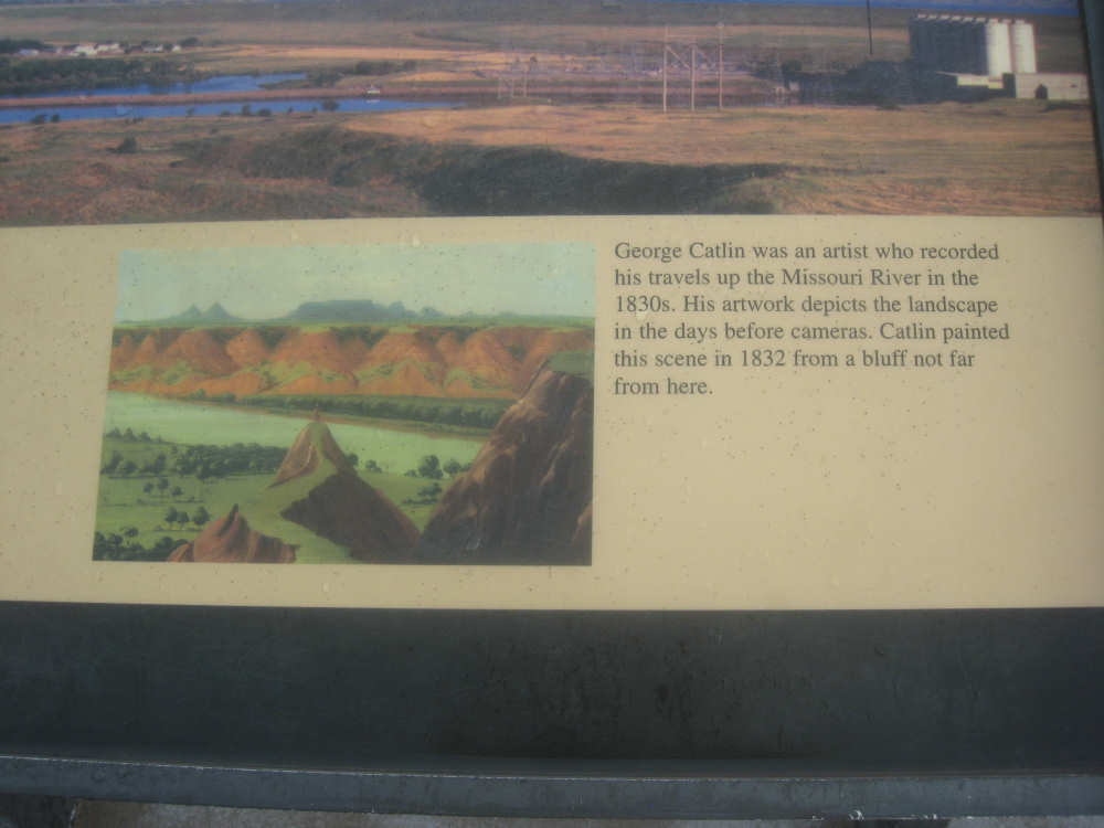
Too hard to read, but this marker shows all the historic sites along the river nearby
|

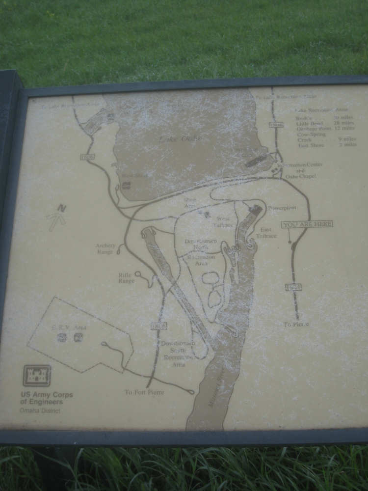
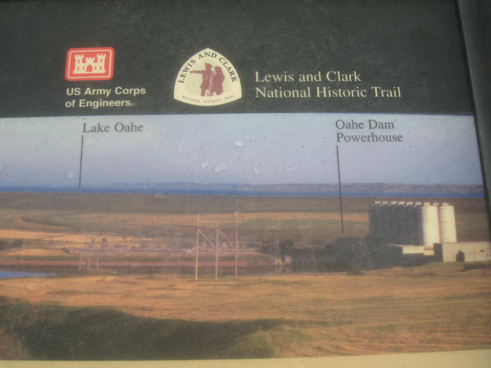
This shows the basic layout of the lake, the dam, the downstream river and the plant
|
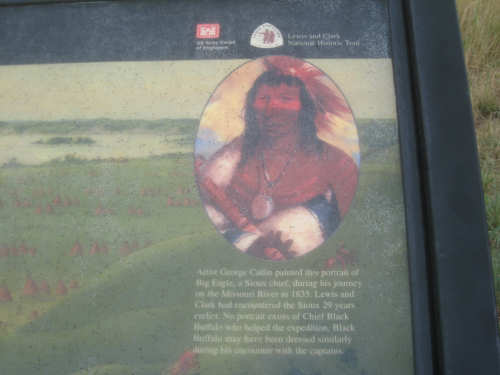
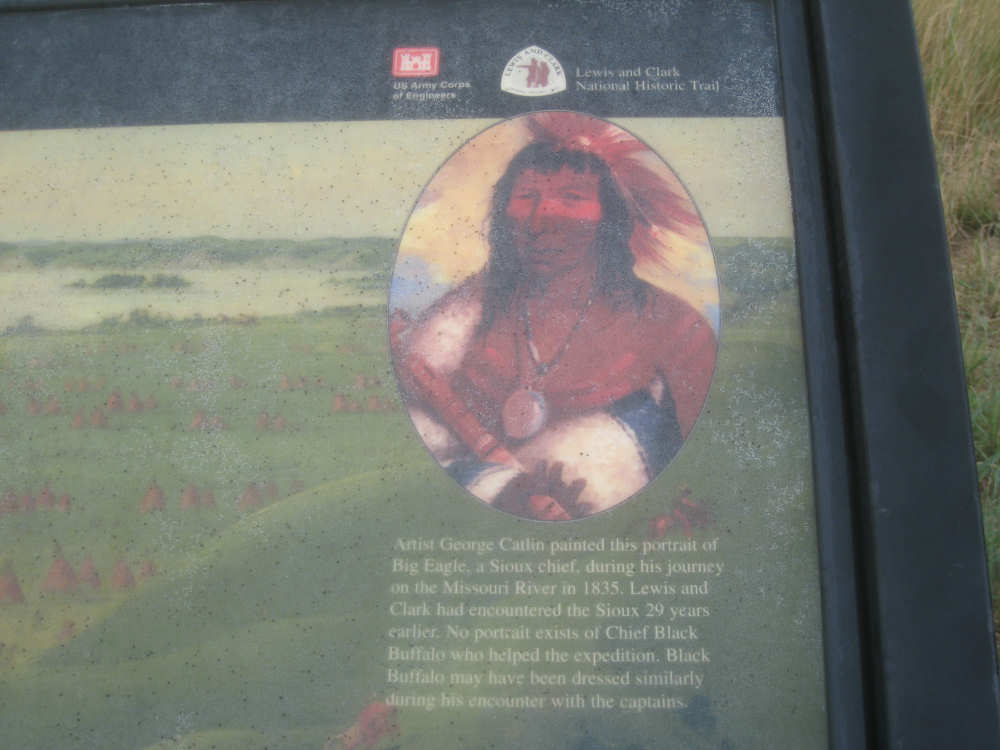
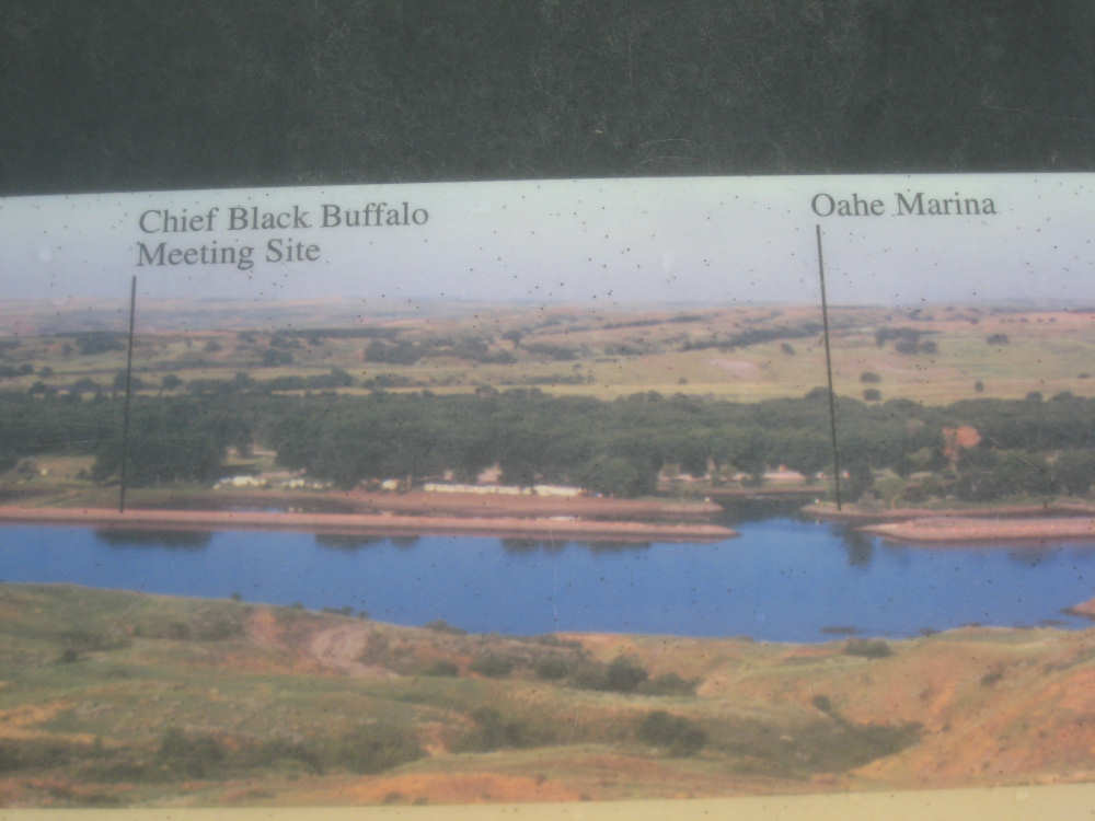
There was an important meeting here between Lewis & Clark and Black Buffalo,
a chief of the Teton Sioux
|
This marker, with close-ups below, shows important sites on the river here
|
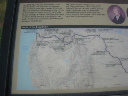
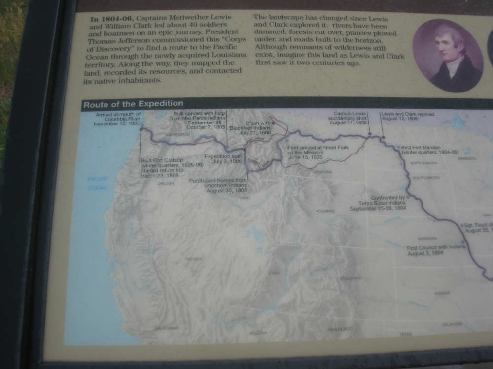
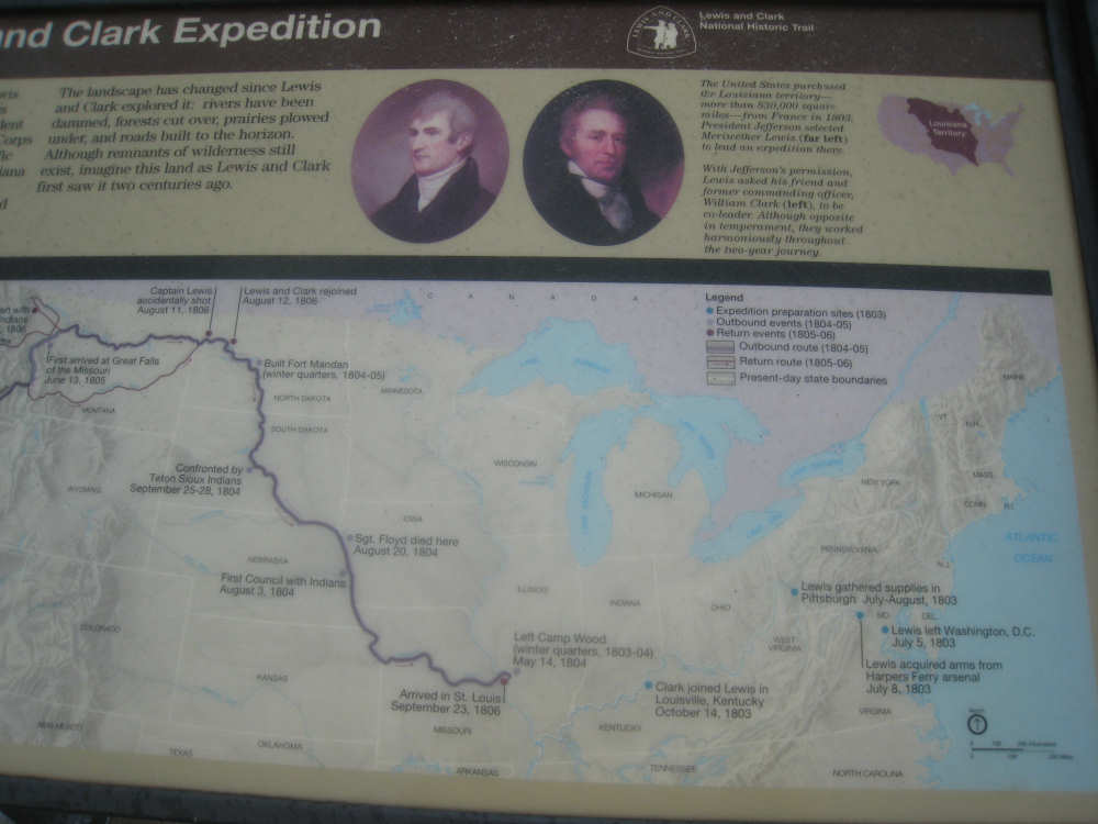
These two pictures show the L&C expedition routes with important events along the way
|
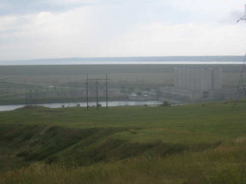
The hydroelectric plant at the dam
|
Part of the Oahe Marina
|
More of the marina
|
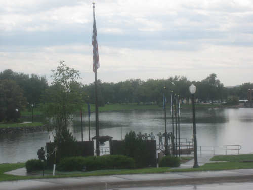
The armed services memorial at the small lake next to the capitol
|
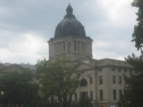
The Capitol Building
|