Tuesday, August 05, 2008
Pierre, SD to Fort Thompson, SD
62 miles (7094 total miles)
A very different day today than yesterday - bright & sunny with almost no wind. We were dry but we were also pretty hot. Luckily, there weren't that many hills - one steep hill and a long, fairly gradual climb, both around midday, and just the usual minor ups & downs the rest of the time. We left at 8, a little later than usual because we had to wait around for someone to show to take our 7K picture. We got it right in front of the State Capitol in Pierre, expecting there to be a lot of people around at that time, going to work and all, but it was pretty sparse. Finally, someone drove up and parked just across the street from us and graciously consented to take our picture. Then we went to breakfast and headed off.
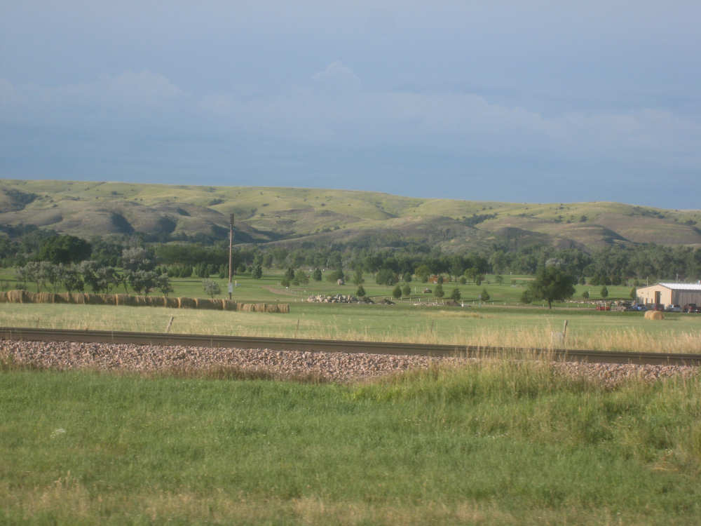
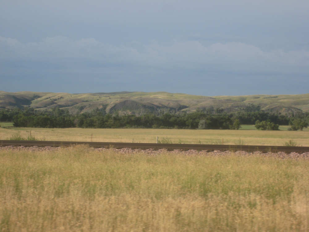
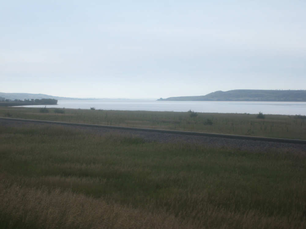
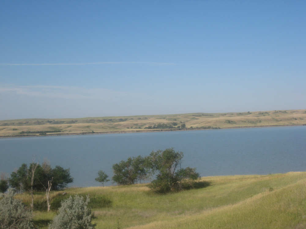
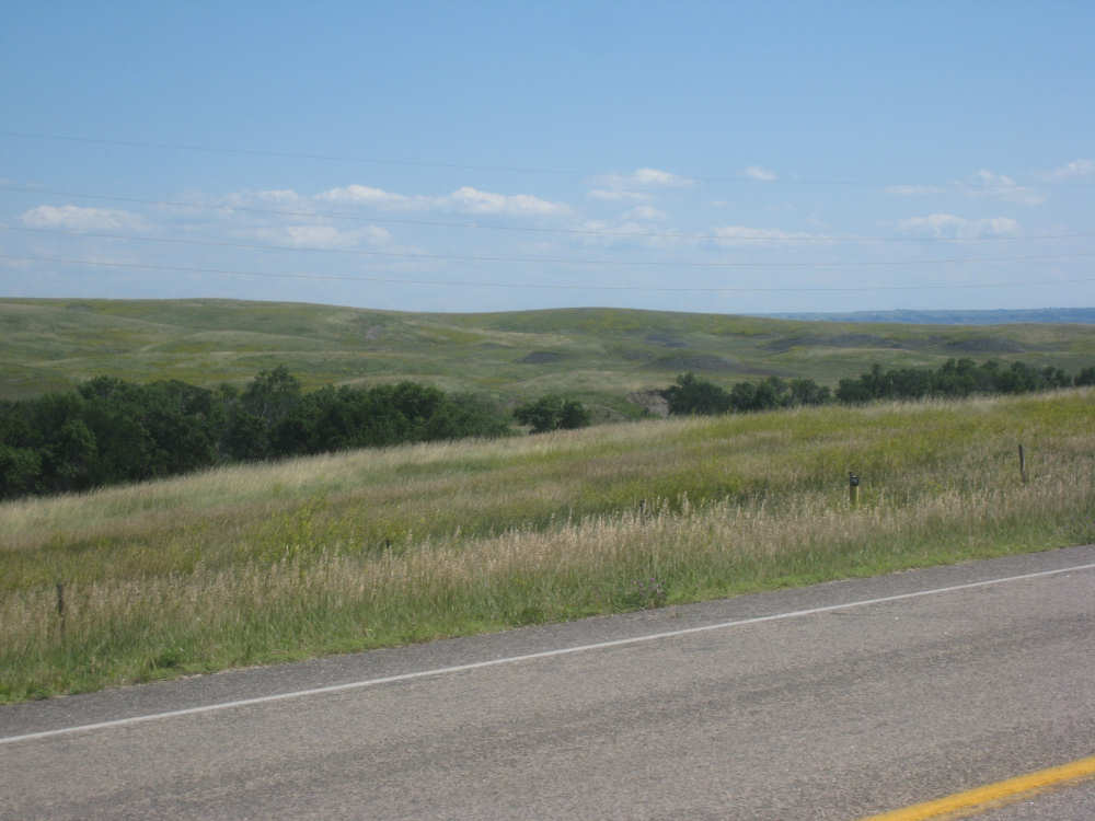
We were right along the river for the first 15 miles or so, which was a real treat. The hills along the river are very pretty and it was pleasant riding along the water. We saw a couple of historic markers along the river, both a little hard to read. One was about the Civiian Conservation Corps which provided work for over 31,000 men in South Dakota during the Depression. They worked on the Arikara Dam northeast of Pierre, a park on Farm Island in the Missouri River near Pierre, and various other projects in the area. The other plaque was about the old Fort Sully which was located near that point during 1863-1866 and then moved 36 miles upstream. The plaque looks like it's been through some wars itself. We only had one other marker today, about a fur trading post at a bend in the river just before our road veered away from it. This plaque was at the top of our steep hill where we had a lovely view of the river.
We had a few interesting sights today. There were several silhouette-style statues in one area - some Indians and cowboys on horses arranged along the brow of a hill with some buffalo grazing below and an eagle landing near a rock below as well. There was also one of an Indian standing in front of his horse, looking like he was praying to the heavens. We saw a number of horses as usual, including one little family of four on a hill. We also saw lots of cattle, some very large herds spread out over a lot of land, but also one small herd that watched us intently as we approached and then started to run along with us as we went by! We'd never seen that before (some have run away from us as we approached) - maybe they thought we had come to feed them and they didn't want to miss us. We also saw one little calf all by himself on the wrong side of a fence! He was right up next to the fence, away from the road, but he started to run after us a little, too, as we went by. Maybe our trailer looks like a feed wagon to them, I don't know. As we moved away from the river, the croplands came back and we saw the usual immense fields of corn, hay, sunflowers, and other crops.
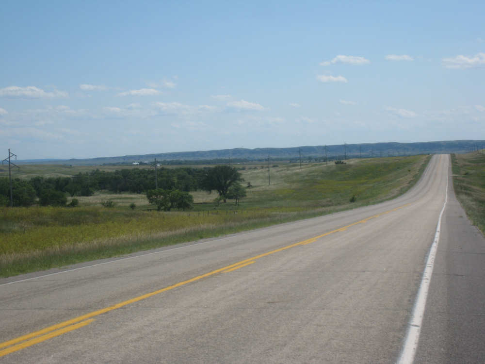
We entered the Crow Creek Indian Reservation after about 40 miles and after another 5 miles or so, we came to the only store we saw today. It was a gas station/convenience store next to the Stephan Indian Mission school. We bought a bag of ice to replenish our camelbaks which were just about dry then, and a couple of sodas, and chatted with the store owners as we drank them. The remaining 15 miles of the day were mostly downhill and we finally had a little bit of breeze as well, almost a tailwind. We finally saw the Missouri again at the bottom of our descent as we approached Fort Thompson. We stayed at the Lode Star Motel, which is associated with the casino and restaurant of the same name. They are all run by Native Americans from the reservation. We were very impressed with our room, which was as nice and well-equipped as many higher-priced rooms we've been in. The food in the restaurant was good, too, although eating in a casino was not so pleasant, with all the racket from the slot machines dinging in the background! We arrived at our motel at 3:30, having done almost 62 miles in a little over 5-1/2 hours of bike time, almost as good an average as yesterday, but an extra 1-1/2 hour of elapsed time as we stopped more frequently today.
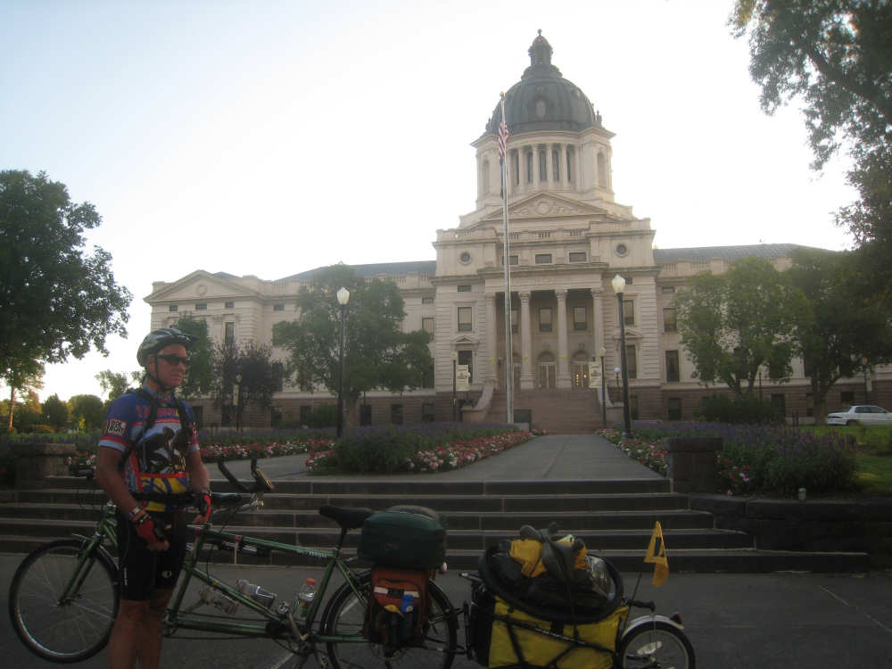
We take a trial picture in front of the Capitol Building |
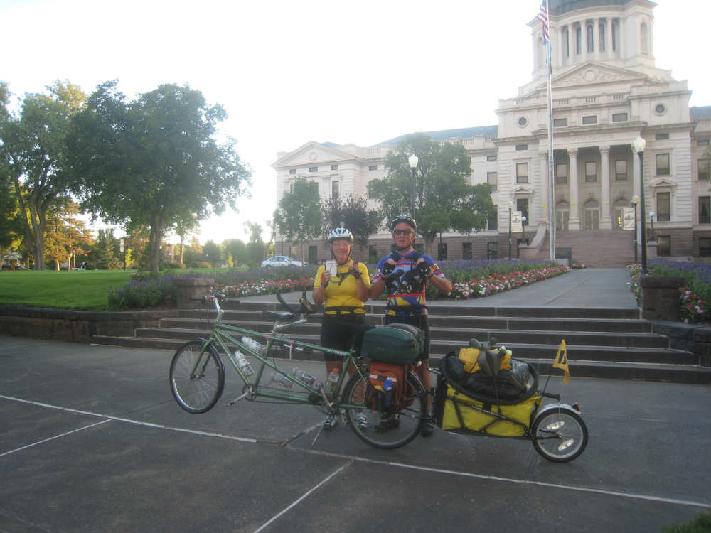
Here's our official 7,000 mile photo! |
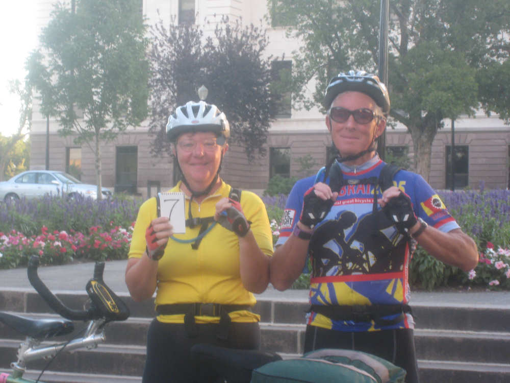
Our gracious photographer thought we ought to have a close-up, too |

Less than 2 inches of snow apparently does not constitute a snow emergency here! |
The pretty dimpled hills along the Missouri River |
|
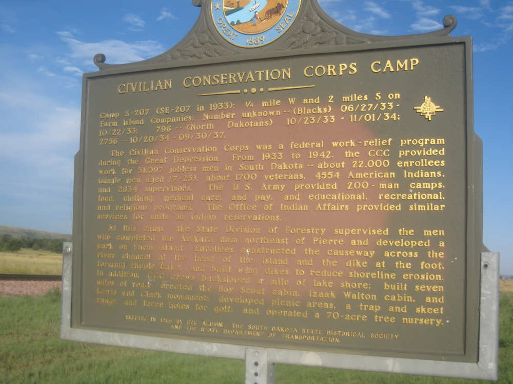
The CCC historic marker |
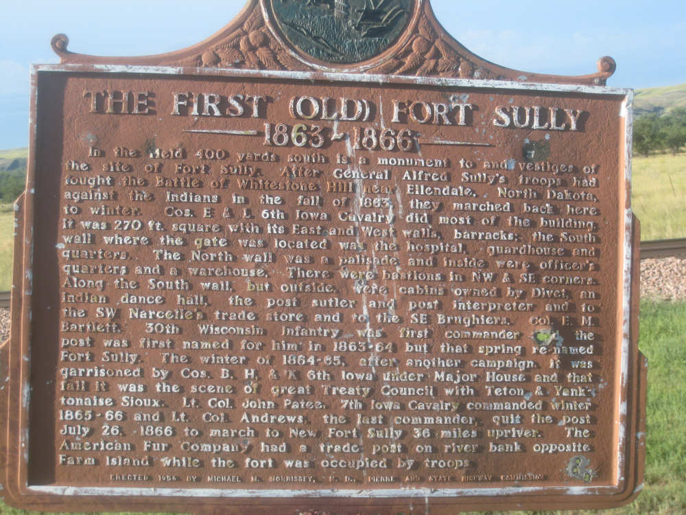
The Fort Sully marker |
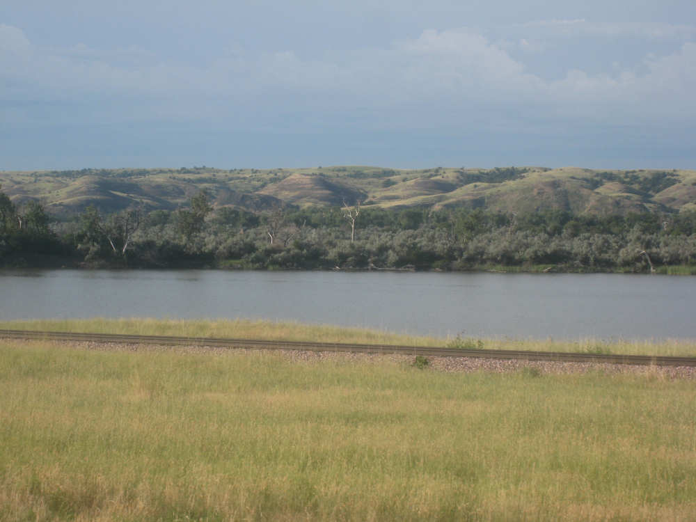
Finally in view of the river |

Rolling hills on the other side of the road, away from the river |
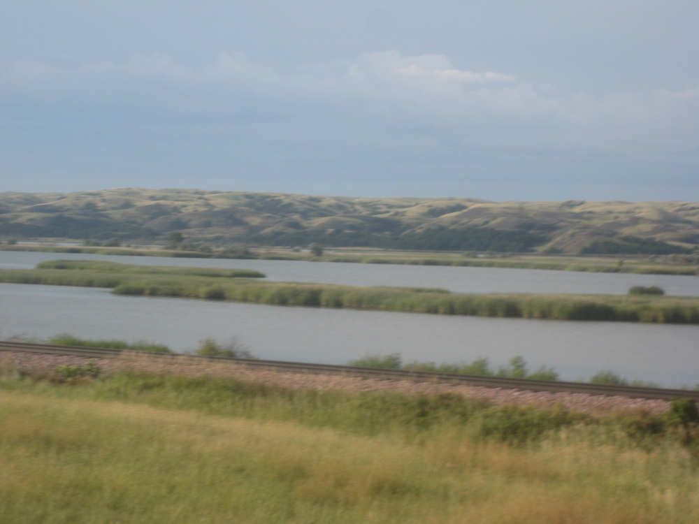
Islands or wetlands in the river... |
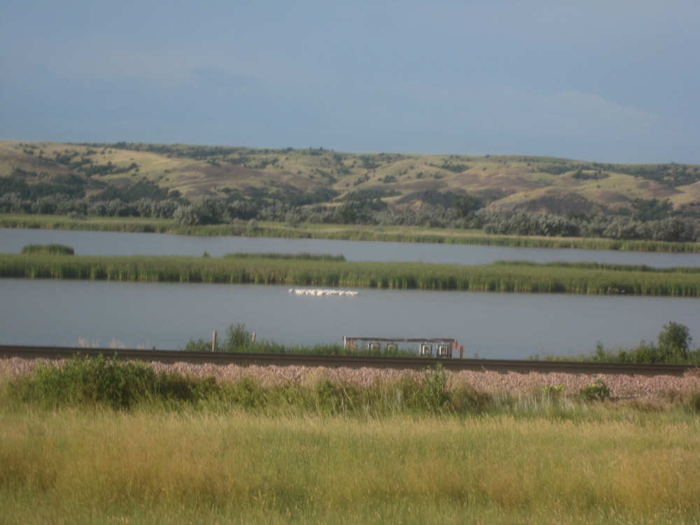
with a flock of birds resting quietly |
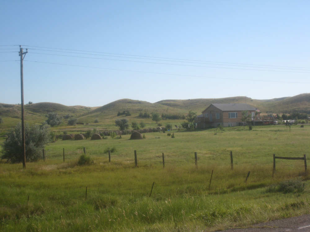
More rolling hills and a farmhouse |
The hills were pretty but the road was cracked and bumpy here |
View at a bend in the river |

The iron silhouettes... |

including this eagle |
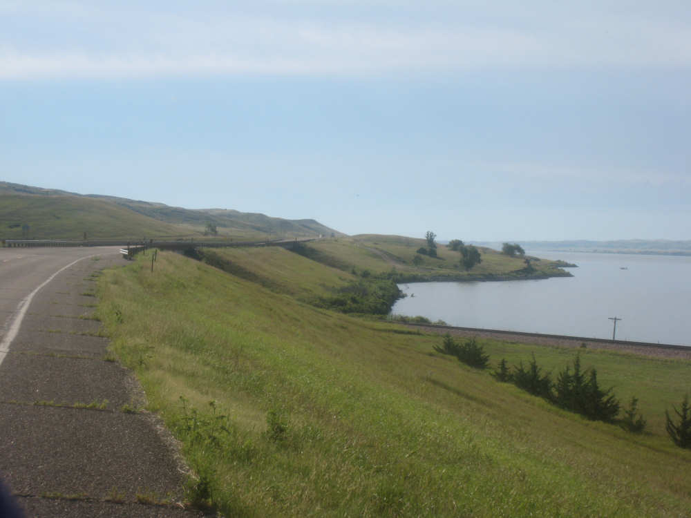
The road goes over 2 cut-outs at the bend here; one was for the railroad and the other... |
was for this inlet |
The river was wide here but had some debris or grasses growing in it |

More rolling hills, with a cow or two |
And more river |
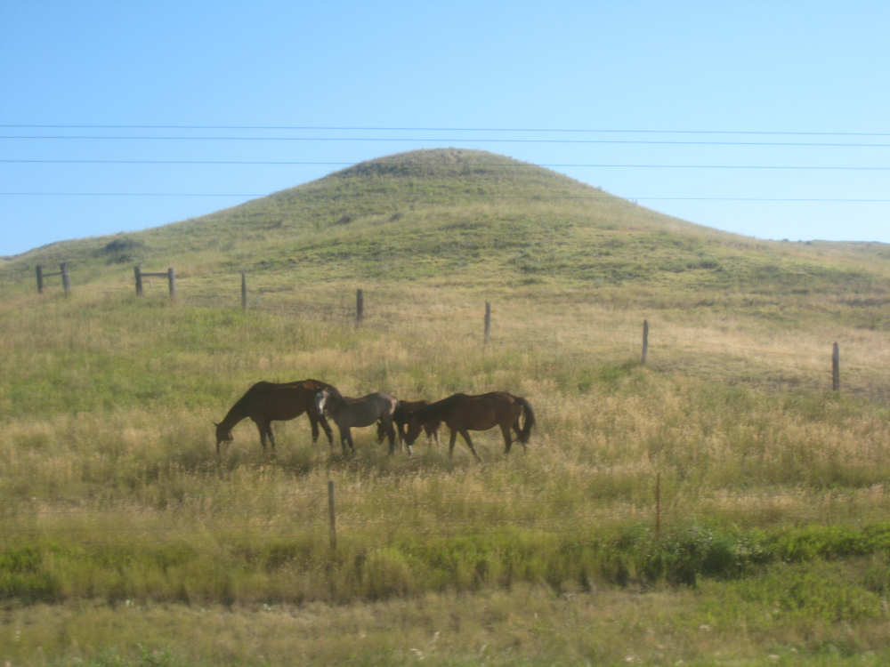
Our little horse family |
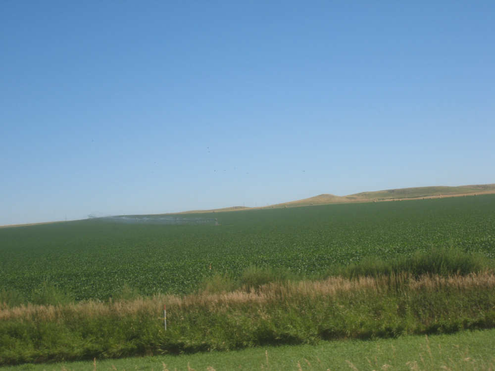
Moving away from the river, we find large croplands again |
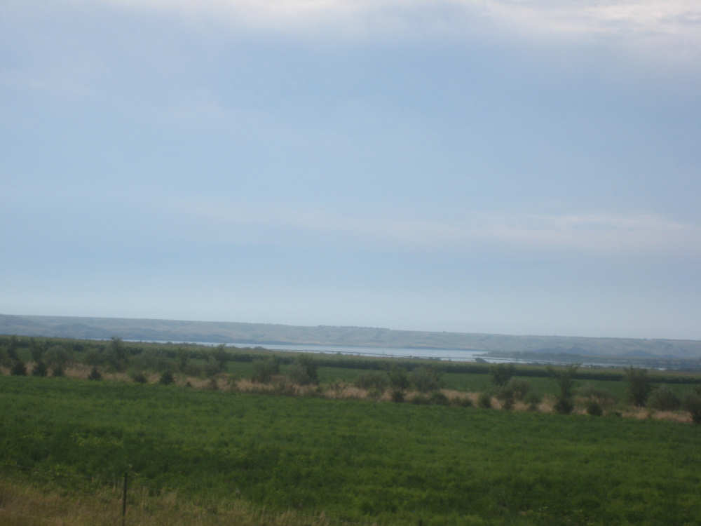
Another glimpse of the river as we near the top of our steep hill |
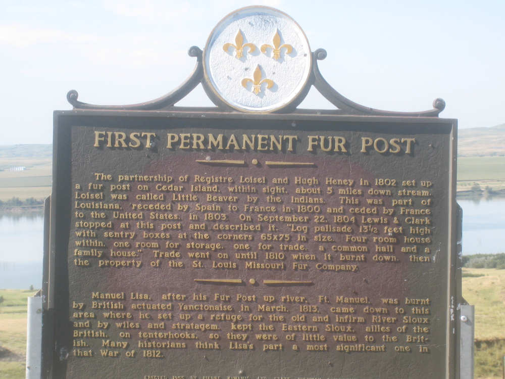
The fur trading post marker |
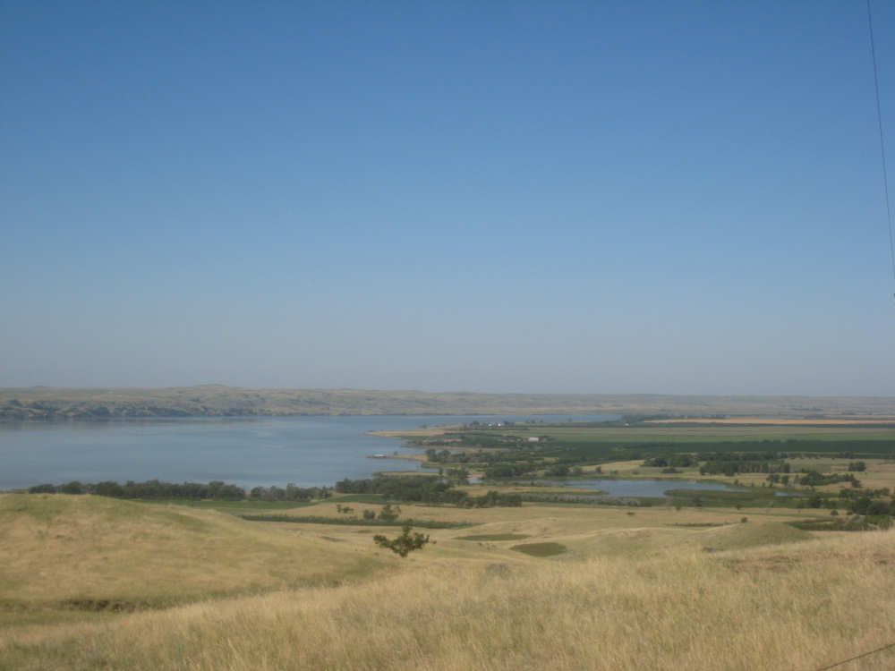
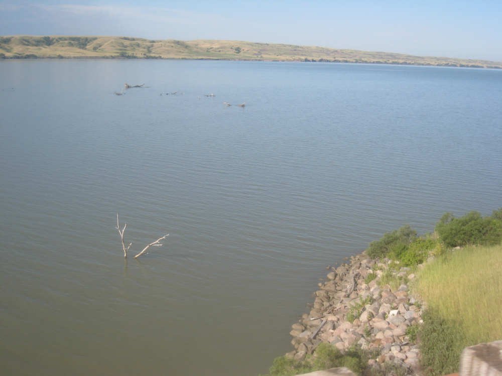
The view upriver from the hill... |
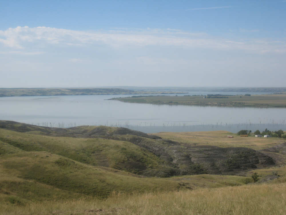
and downriver |
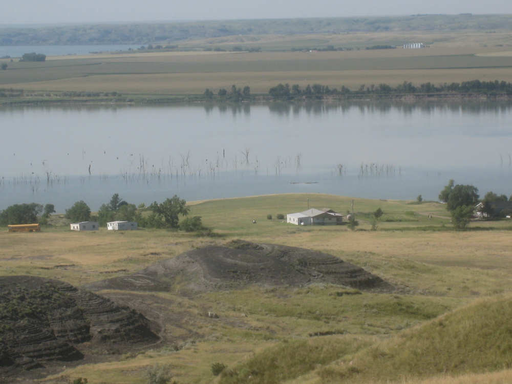
A farmhouse right next to the river and some strange black mounds |
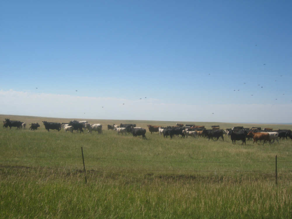
The cows who were running alongside us and the birds flitting around them |

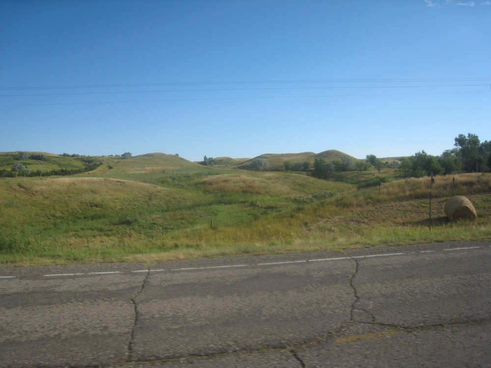
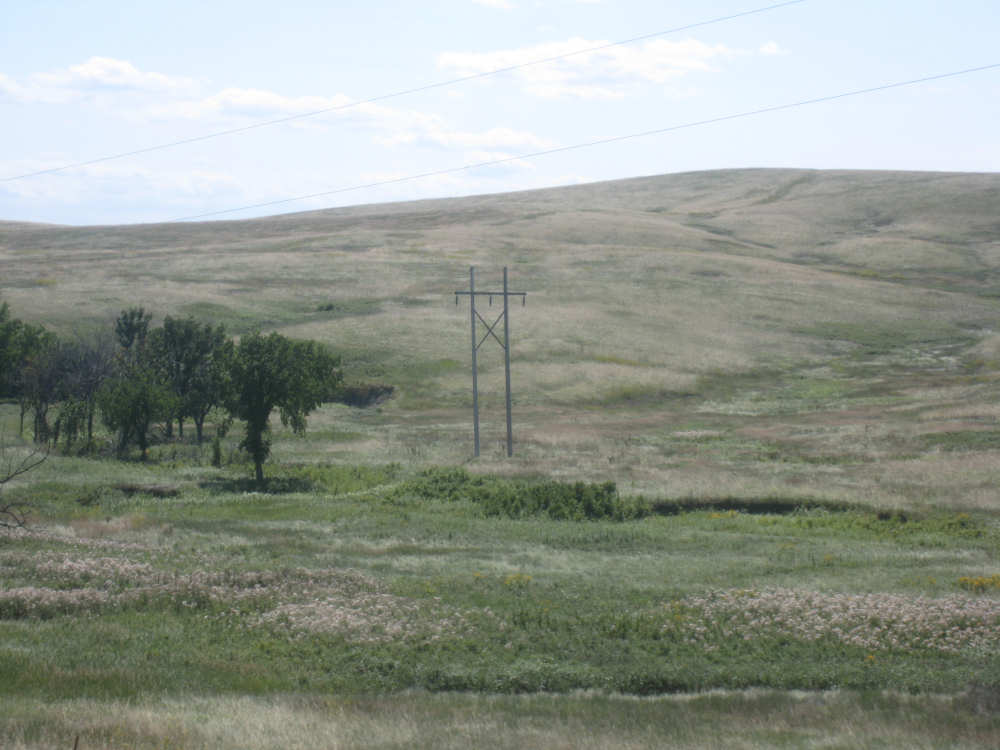
The hills are getting hillier |
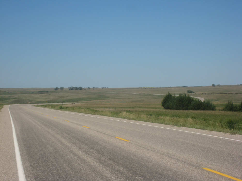
The winding road we just came up (at least a lot smoother here) |
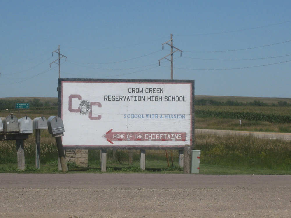
Sign for the Indian school next to the gas station at which we stopped |
The hills going into Fort Thompson |
|
We can see the hills on the other side of the river ahead |