Wednesday, August 06, 2008
Fort Thompson, SD to Platte, SD
70 miles (7164 total miles)
It stormed again last night and this morning was cloudy, so we left Fort Thompson expecting to get rained on again. However, it quickly cleared up and became hot and sunny. We started out at 7:45 and followed Indian Road 4 right along the Missouri River for about 8 miles. The hills along the river were very pretty; the terrain was mostly gentle hills with grasses for pasture and some small farms. The Indian Road was in bad repair most of the way, but it was flat. We then turned onto State Road 50, which we followed for most of the rest of the day. We soon had 2 long, steep hills to climb, but it was still early in the day so it wasn't too hot and the hills around us were spectacular. We came into Chamberlain, the only town of the day, after a steep descent from the second hill. Chamberlain is the county seat of Brule County and is located right on the river. There were 2 interesting bridges across the river in town, and we saw two kids playing on a beach on the river as we went through town. There was also a historic marker, nearly unintelligible, but with some interesting information. We stopped at a convenience store to have a snack and top up our camelbaks, since this would be our only chance to do so all day. We had only come 22 miles out of our 70 mile day, so we had to resort to the warm water in our bottles before the day was over. While we were at the store, a guy came over and said he had seen us on the road yesterday, chugging up a hill, and again today, going up the hill into Chamberlain. He said he really sympathized with us because he sometimes biked between Chamberlain & Fort Thompson himself.
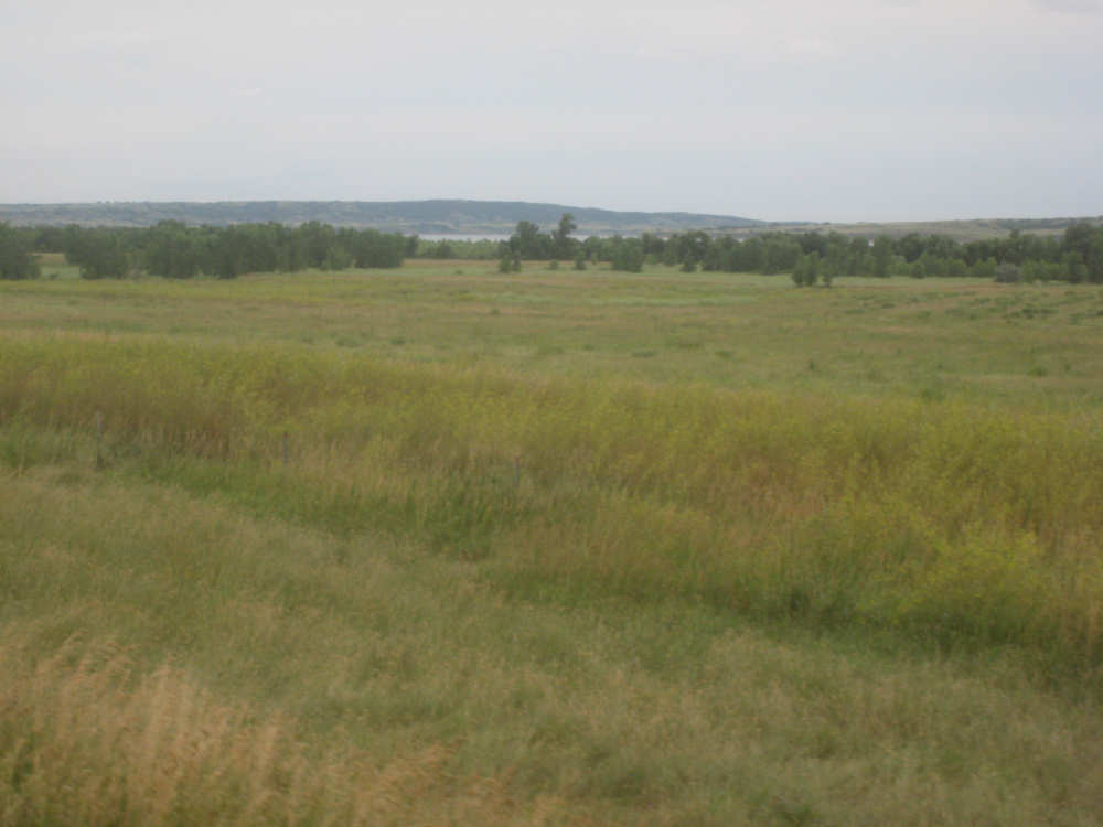
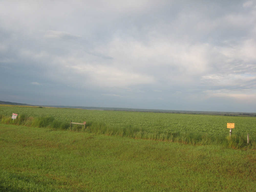
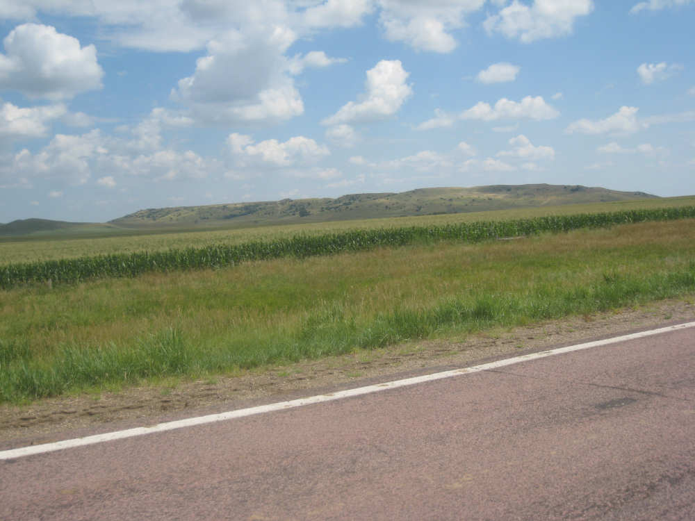
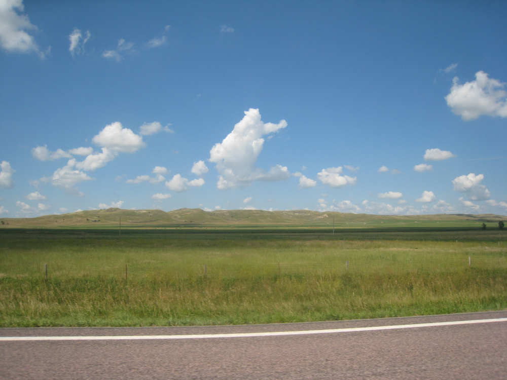
After Chamberlain, we veered away from the river until the end of the day. We were back in the immense croplands now and we were still climbing, only more gradually now and over a longer distance. A few clouds had developed so we had occasional cloud cover and the wind was a little stronger at times, so it cooled us off some, but it was basically pretty hot most of the afternoon. The road was pretty smooth except for long cracks that went all the way across the road and shoulder at frequent intervals. They were sometimes deep enough to be quite jarring on us and the bike, which was unpleasant. Other than that, the road surface was pretty smooth. South Dakota uses the same surface technique that Texas does - chip seal, I think they call it, where they put down a layer of tar and then spread gravel over it. This made the Texas roads awfully rough, but South Dakota must use smaller gravel because they are generally much smoother, even when freshly done.
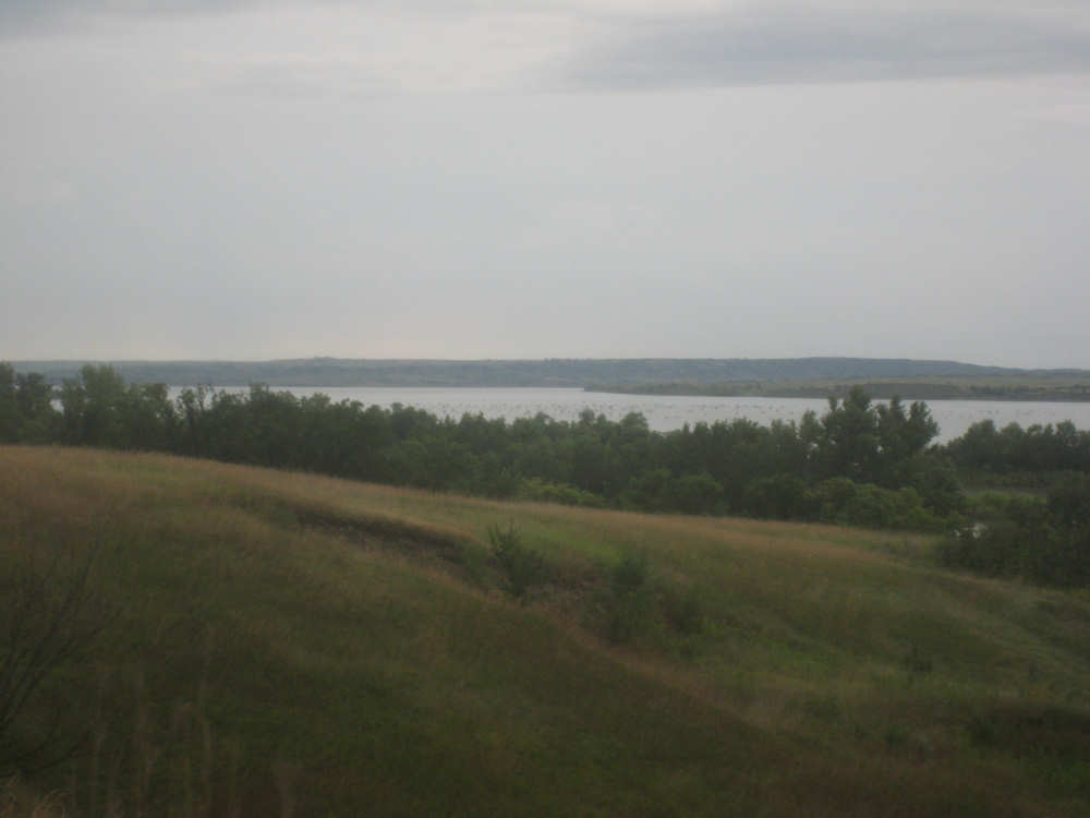
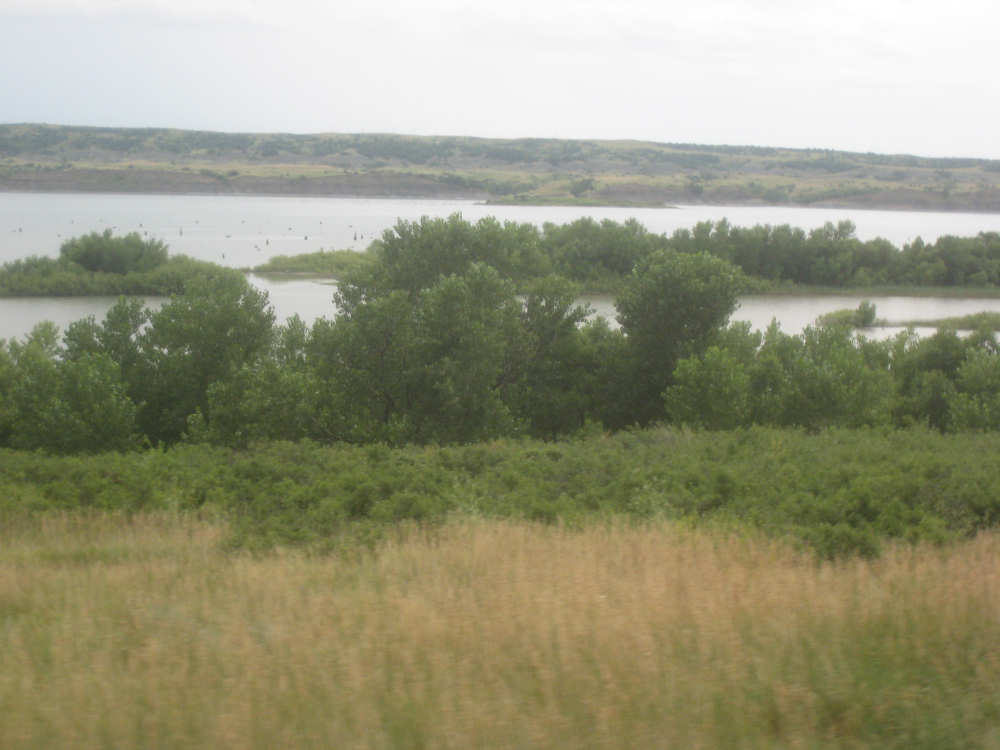
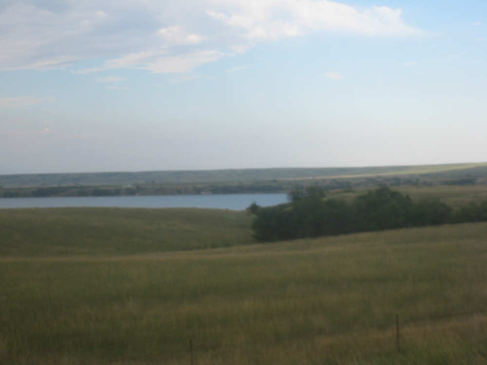
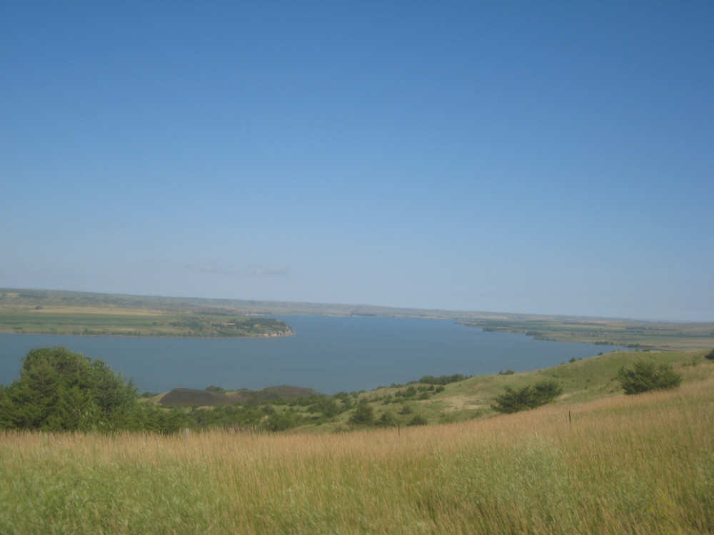
Highlights from today, besides the beautiful hills before Chamberlain, were: a huge lake, called Red Lake that we passed shortly after Chamberlain; a short range of hills, called Bijoux Hills, that we went through and then behind; and another large piece of farm equipment that passed us on the road. The farm equipment seemed to be some sort of harvester and when we first saw it coming toward us, it was taking up the entire road. We stopped to let it pass and to take pictures of it, but we didn't really need to. As he approached, the driver moved over to the side of the road and it seemed that he moved the blades over as well. They originally stuck out evenly on both sides of the vehicle (they were what was taking up the whole width of the road), but as he passed us, we saw that the blades were farther over to the opposite side of the road. After he passed, they had moved back to the center.
We had reached the peak of our long climb after we passed the Bijoux Hills, so our pace picked up a little. It was still a lot of up and down, though, and we were getting tired and hot, but the end was now less than 20 miles away so we pushed ourselves to get there as soon as we could. There wasn't much of interest until we made our final turn toward the river, onto SR 44. The last downhill to the river was really pretty, although we were a little daunted to see the road we would start off on tomorrow morning, right across the river - it looked pretty long and steep, but we'll worry about that tomorrow. We found the marina where we would stay in a little cabin overlooking the river. We checked in at 5:30 and quickly decided we would have dinner before doing anything else. There were 2 women running the place, a server and a cook who was the sister of the owner. The owner was away at Sturgis, South Dakota, catering an affair at the huge motorcycle rally that was going on there. We took some pictures of the place after dinner and the owner's sister was kind enough to offer to take a picture of us in front of the marina. Then we went up to our cabin to unload, shower and work on the website. Since our cellphone connection doesn't work here, we had to use the marina's internet access which only works in the restaurant so we are limited by the restaurant's hours. We ended the day at a little over 70 miles in under 7-1/2 bike hours, a better average than we expected. Tomorrow, at least, will be a short day, but the day after will be even longer than today. Still, the next day will be a rest day again.

Horses grazing near the river along Indian Road 4 |

Grasslands by the river |
|
Little islands in the river, and grasses showing through the shallow parts |
Grasslands widen as the road gets farther from the water |

A bend in the river |
Crops on the other side of the road, away from the river |
Hills on the opposite side of the river |
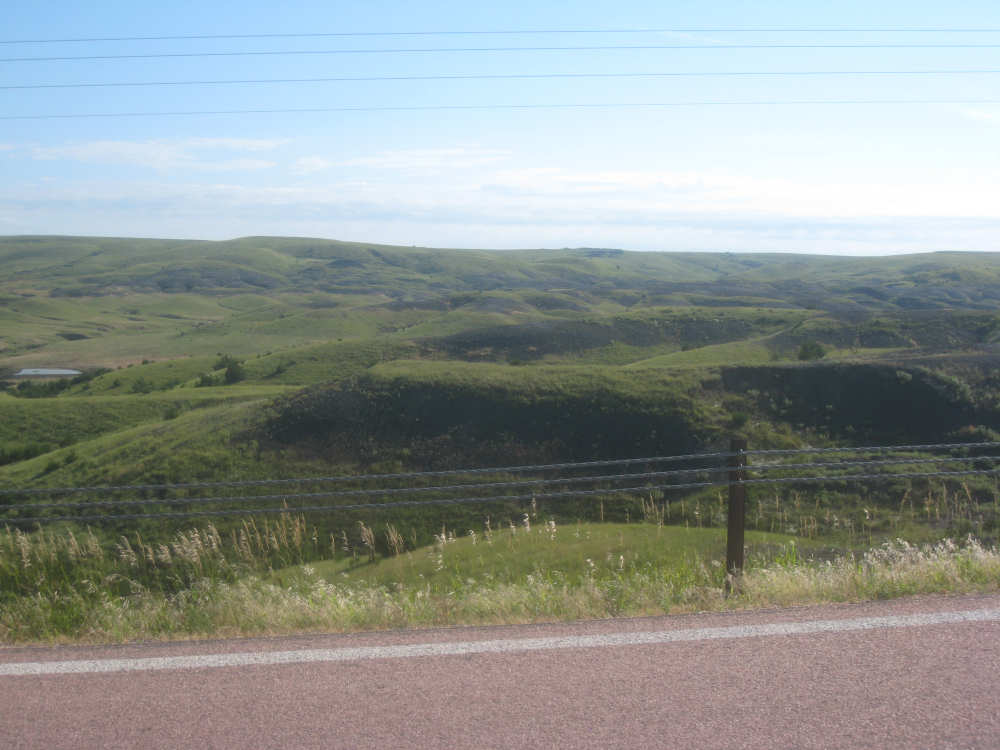
Interesting terrain near the river |
A creek running to the river |

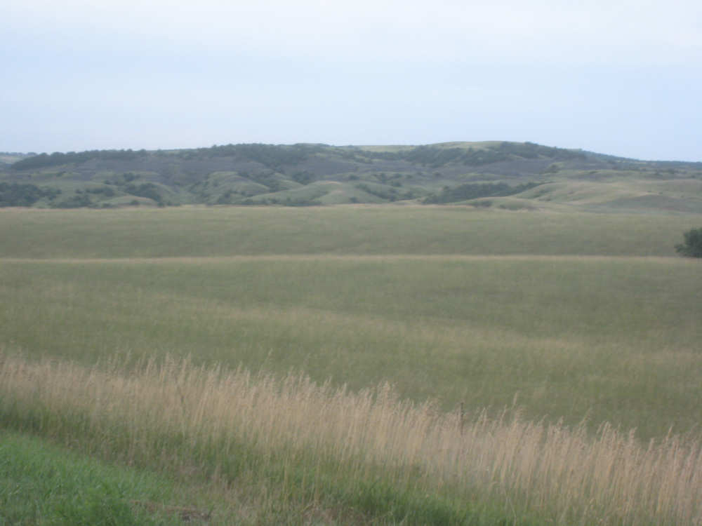
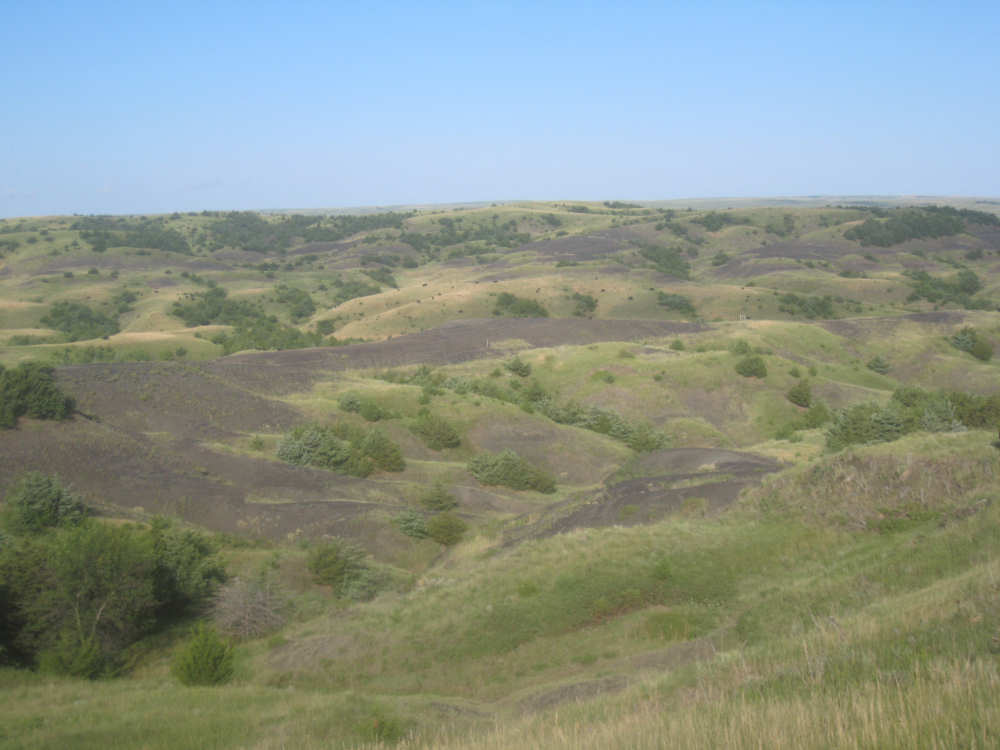
Our first big hill and the lovely terrain around it |
|

|
|
We catch a glimpse of the river again from the top of the hill |
Another bend in the river |
Some wide flatlands on this side of the river |
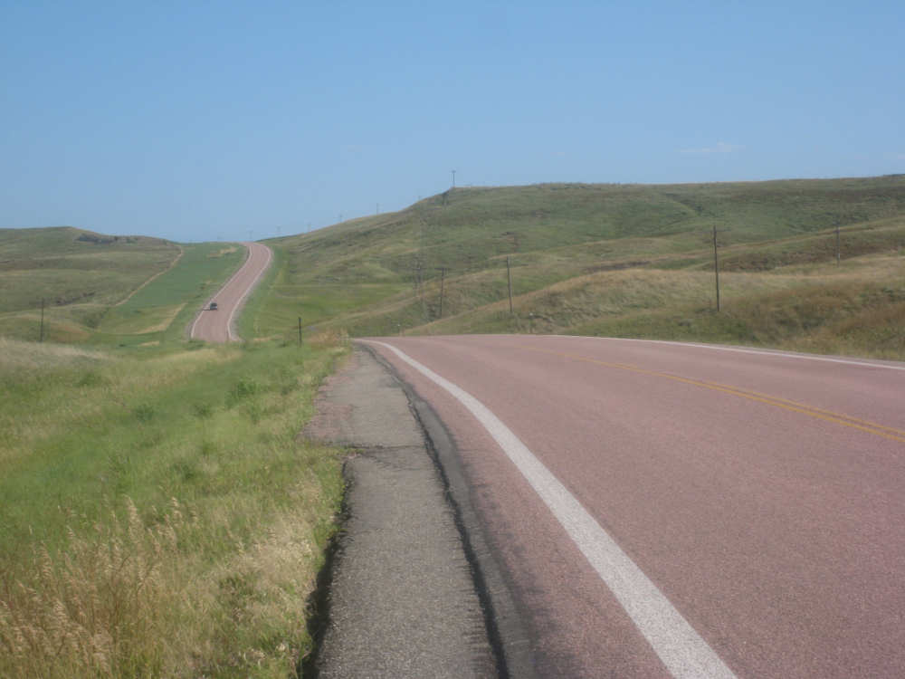
Looking back, part way up our second hill |
The view is beautiful up here, too |
|
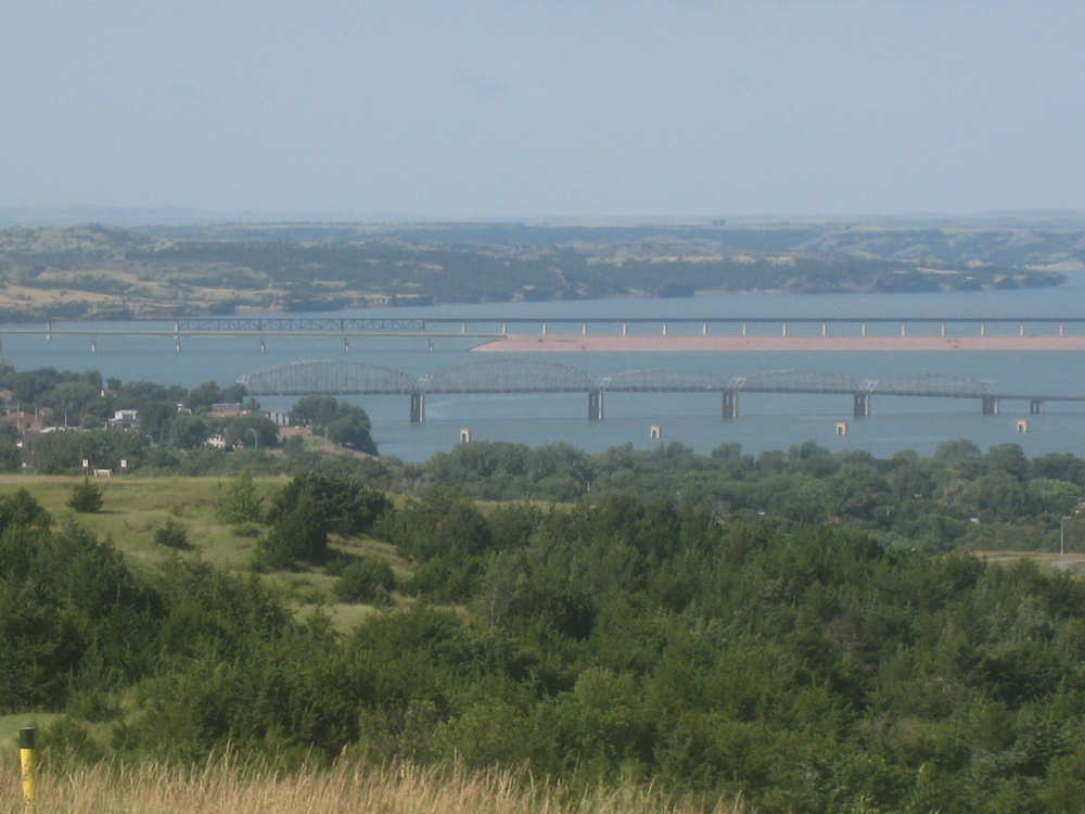
Our first view of the bridges in Chamberlain |
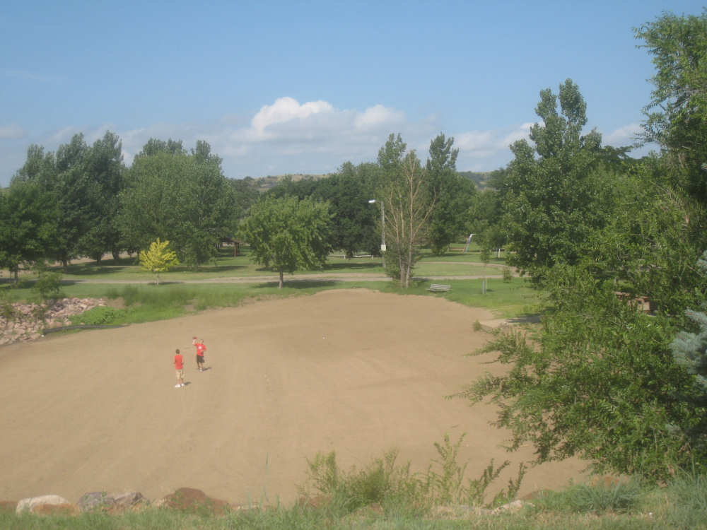
Kids playing on the beach at the edge of the river |

A close-up of one of the bridges |
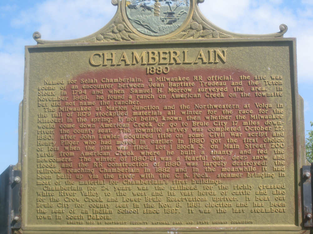
The historic marker in Chamberlain... |
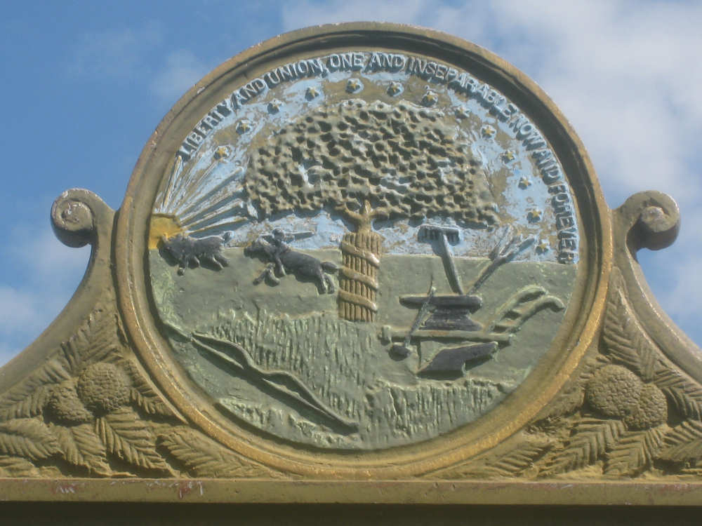
and the decoration on top of the marker |
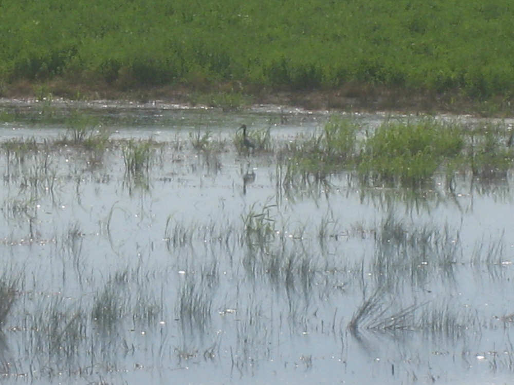
Some wetlands, a heron... |
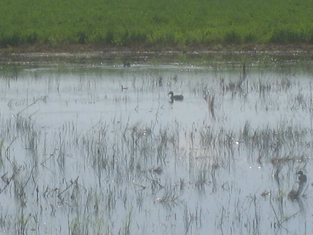
and ducks - there were also some other shore birds there |
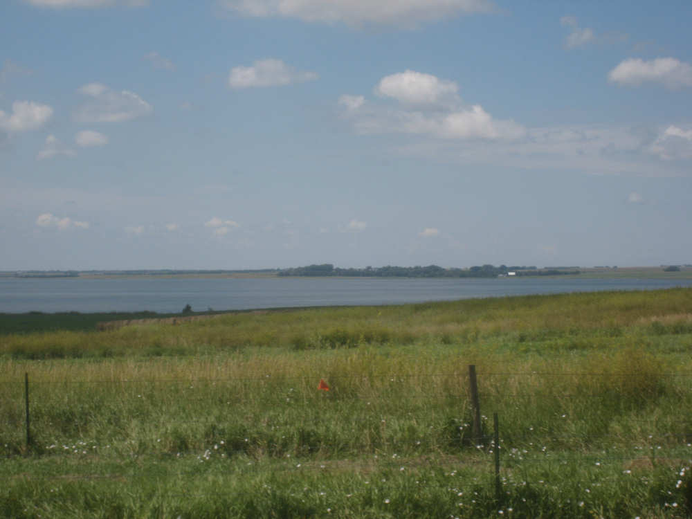
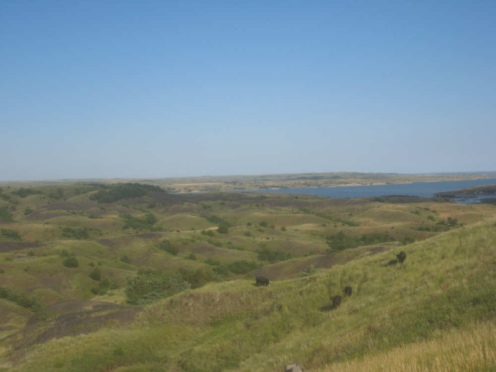
Red Lake... |
and cropland next to it |
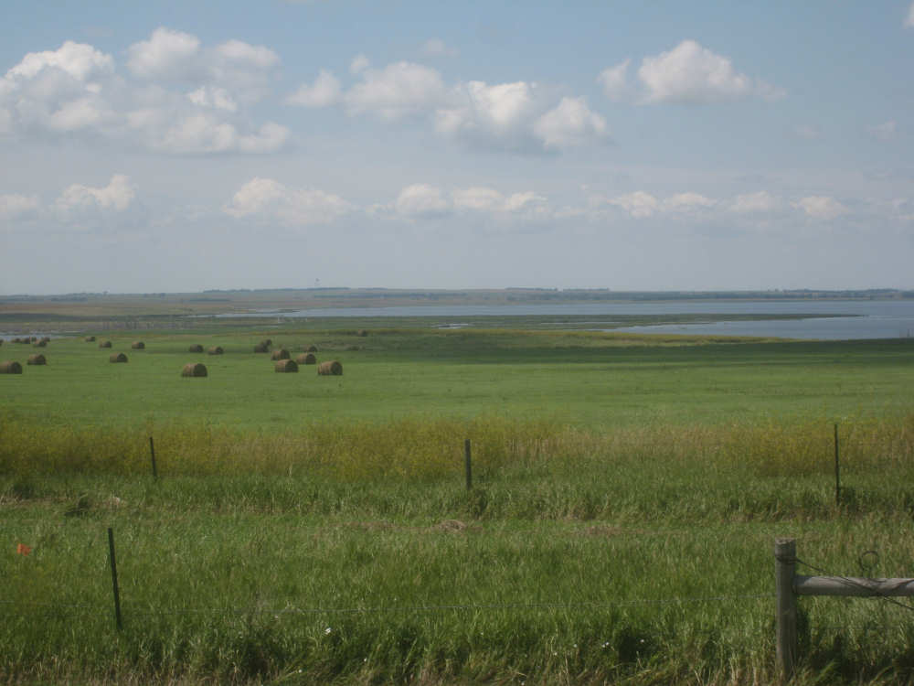
Crops and hay bales |
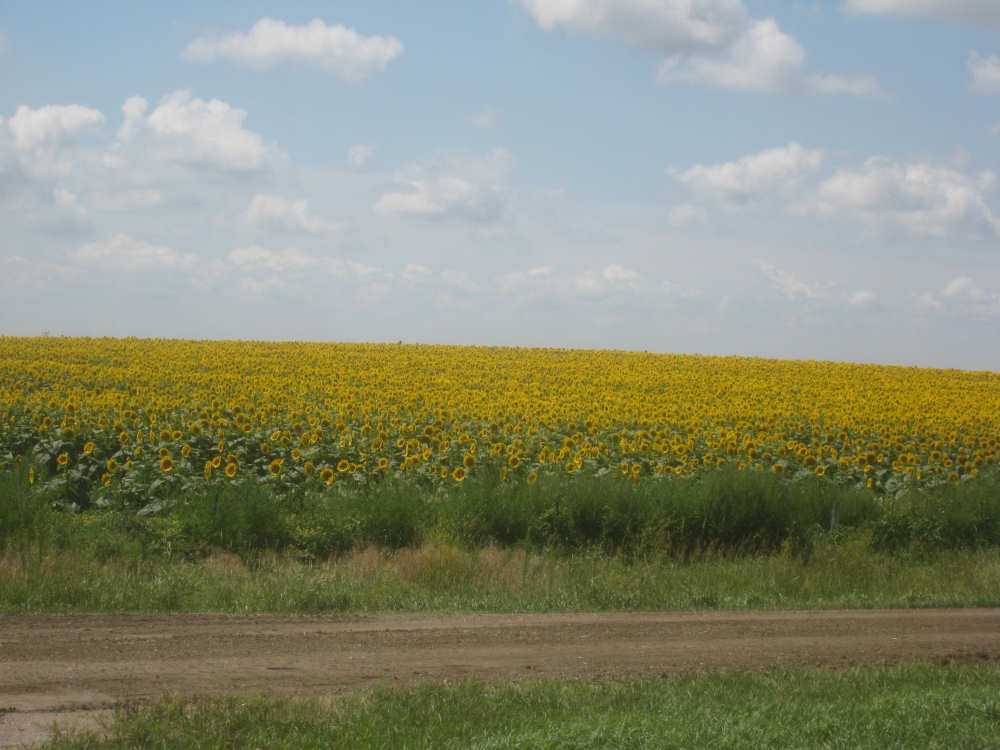
A field of sunflowers |
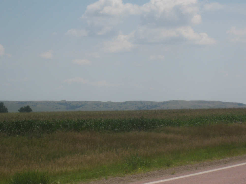
The Bijoux Hills appear in the distance |
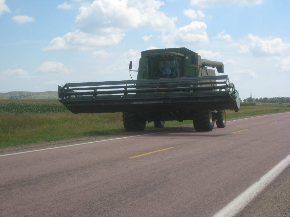
The harvester with its blades moved over |
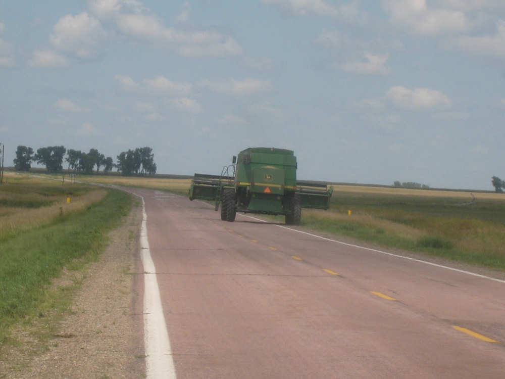
The view from behind, with the blades centerd again |
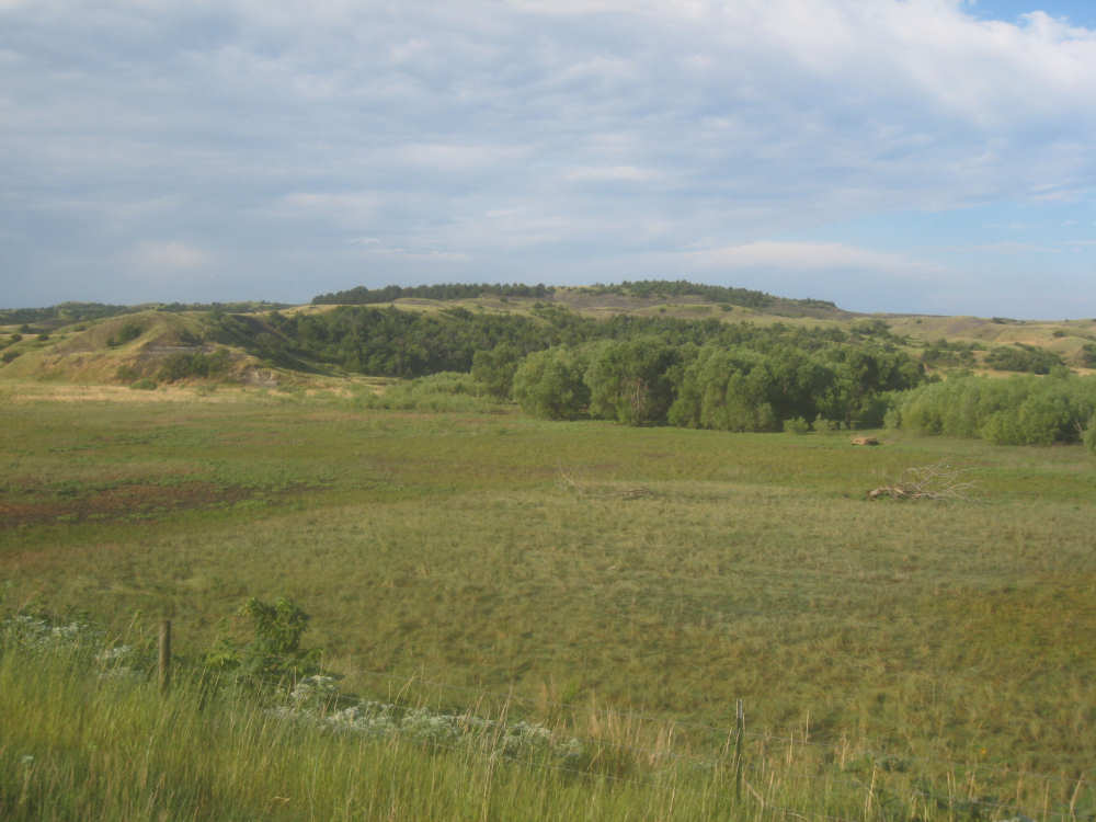
The Bijoux Hills, closer up... |
and from behind, after we'd passed them |
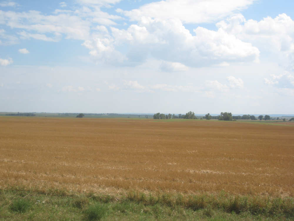
A recently harvested wheat field |
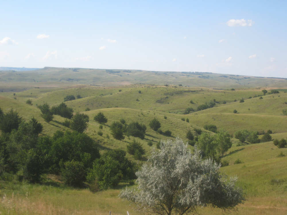
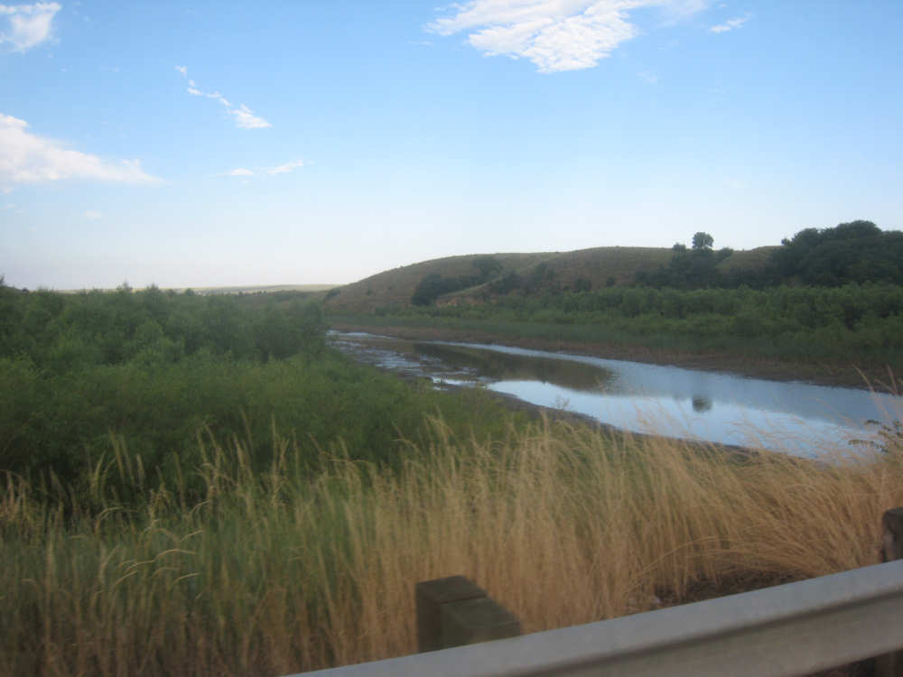
The hills get interesting again as we approach the river once more |

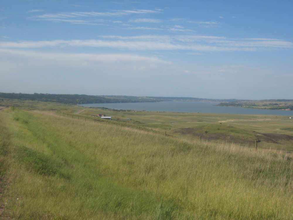
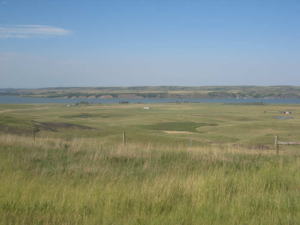
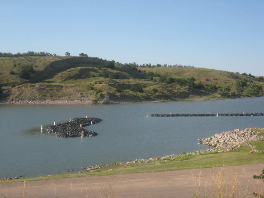
The Missouri, the bridge across it, and the squiggle of road we'll climb tomorrow |

Our cabin is the one on the right |

Fed but not showered, in front of the marina |

The marina with us out of the way |
Tires made into little docking stations in the marina |