Friday, August 08, 2008
Bonesteel, SD to Springfield, SD
74 miles (7284 total miles)
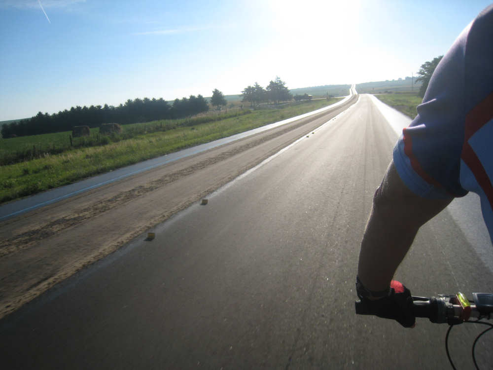
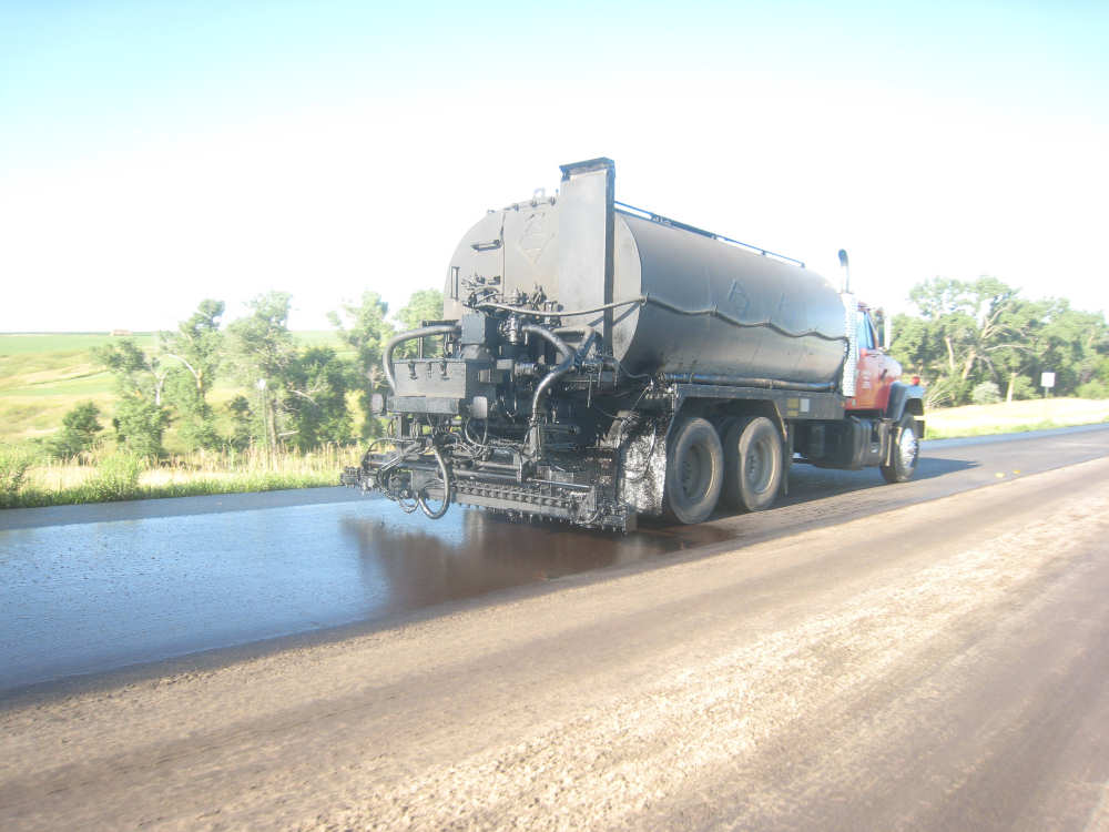
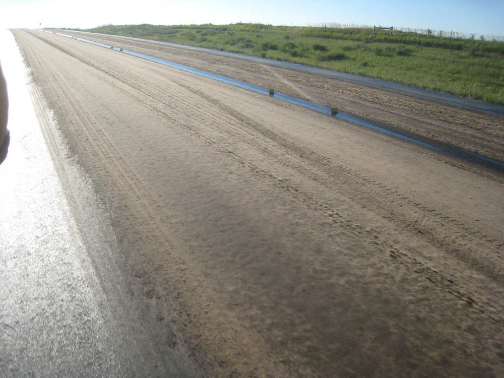
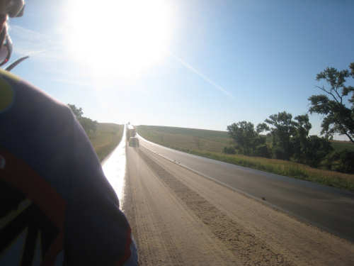
A long, hot day, but not as bad as we thought it would be. It felt refreshingly cool when we started out at 7:55 and we thought our first 25 miles would be fairly easy, mostly downhill or flat. But, as usual, there was a lot more uphills than we expected and the temperature warmed up quickly. On top of that, we saw road work signs after the first 9 miles or so of very smooth road. This time they weren't just filling cracks, they were laying down new road surface. They had stopped the traffic on our side as we approached but let us go through. The shoulder on our side was freshly oiled, so we moved over to the left side of the road, which had apparently been done a day or more earlier and was a bit drier. Still, our legs and bike got peppered with bits of sand and grit as we rode. We didn't see any activity for a long while, but saw dump trucks full of sand parked every so often on the side roads and driveways. Finally, we saw a line of cars coming toward us, led by a pilot car, and shortly after they passed, a truck came by spraying oil on the right lane. It was soon followed by a truck dripping sand on top of the oil. We were curious about the next step of the process, because the resulting surface was very rough, even after being driven over a bit. There is probably at least another step where pink gravel is added to the top and somehow that's made into a nice, smooth surface. This phase of road surfacing went on for 9 miles, but even after that, the surface was still rough and sandy and the shoulder very gritty for several more miles. It was quite a relief when that was over.
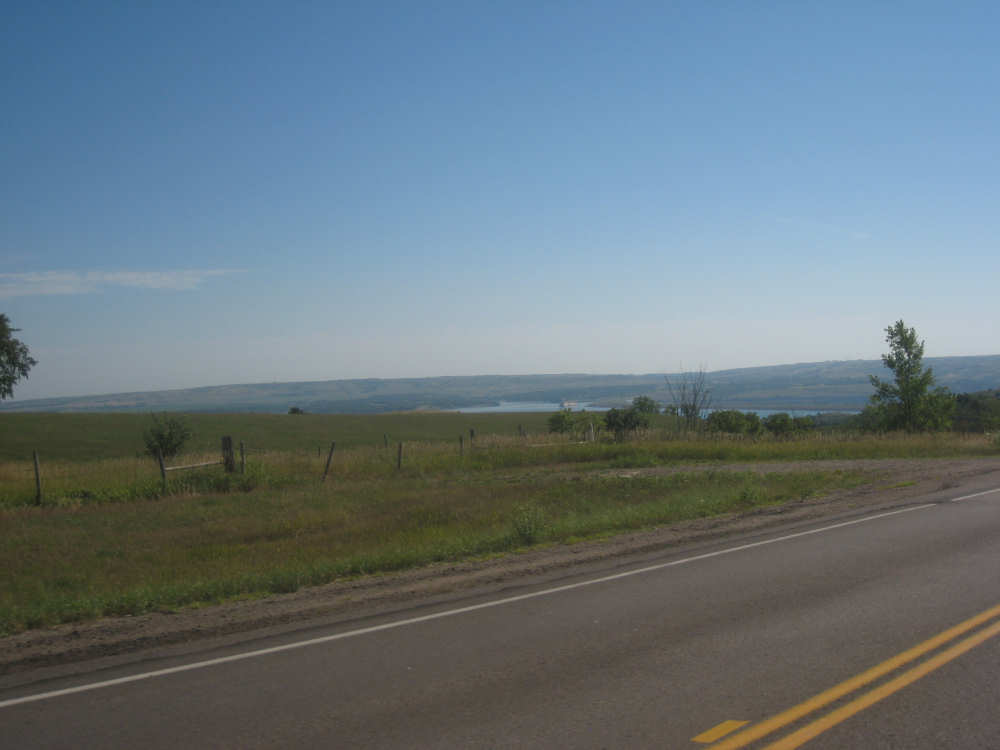
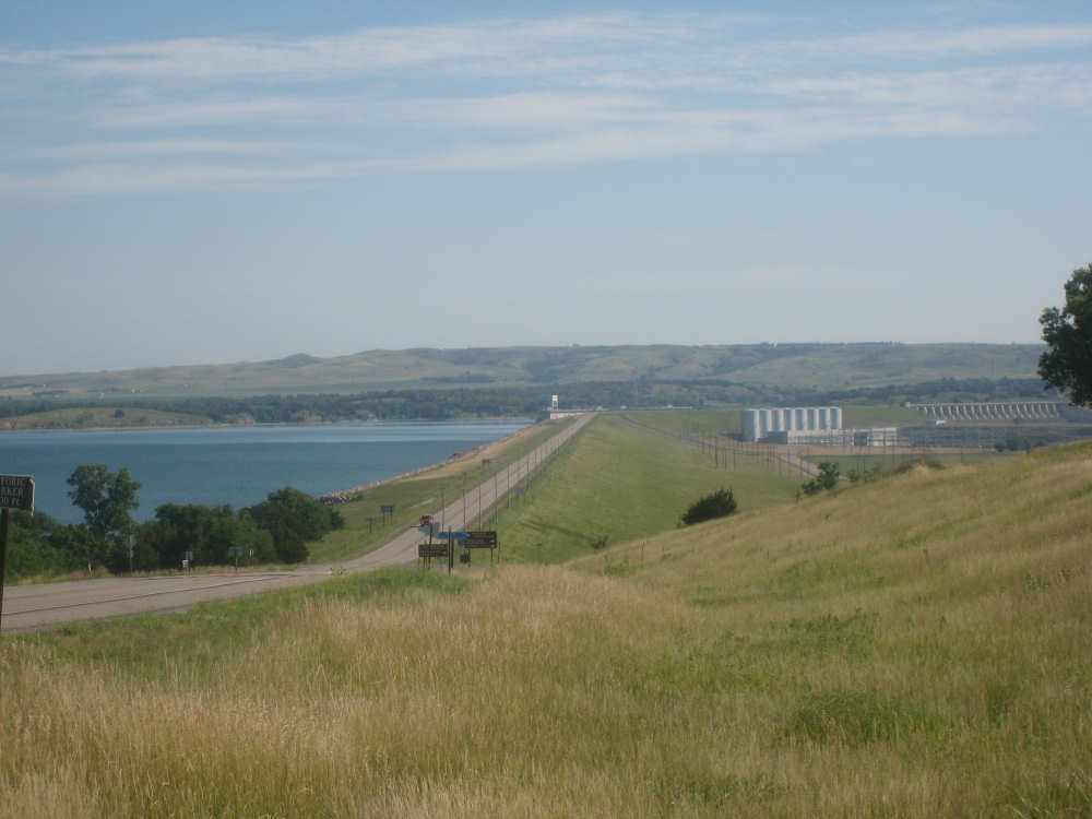
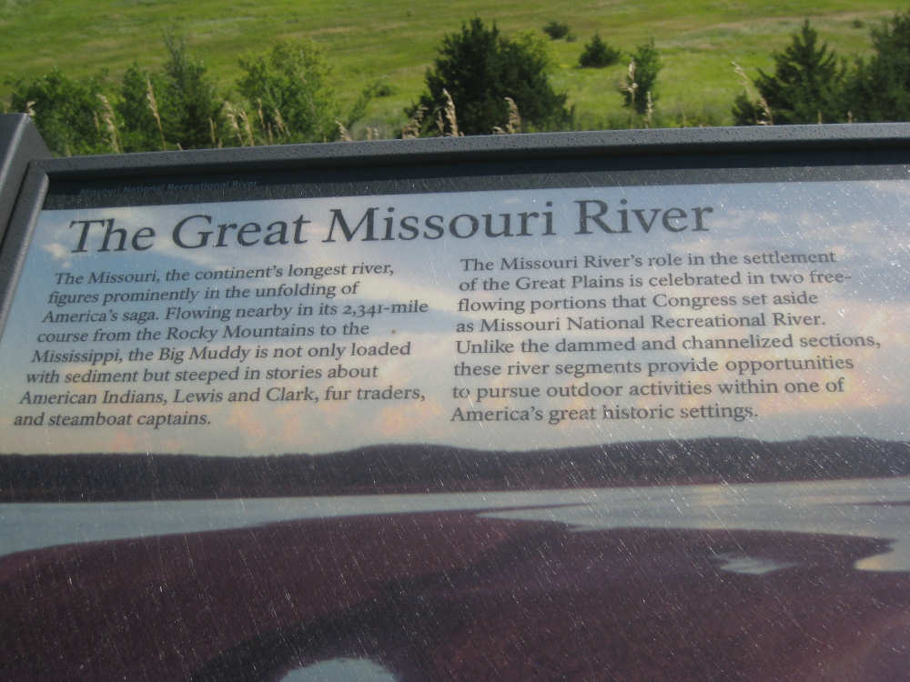
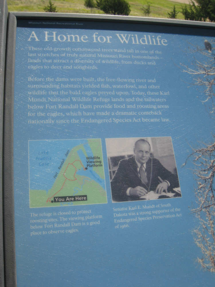
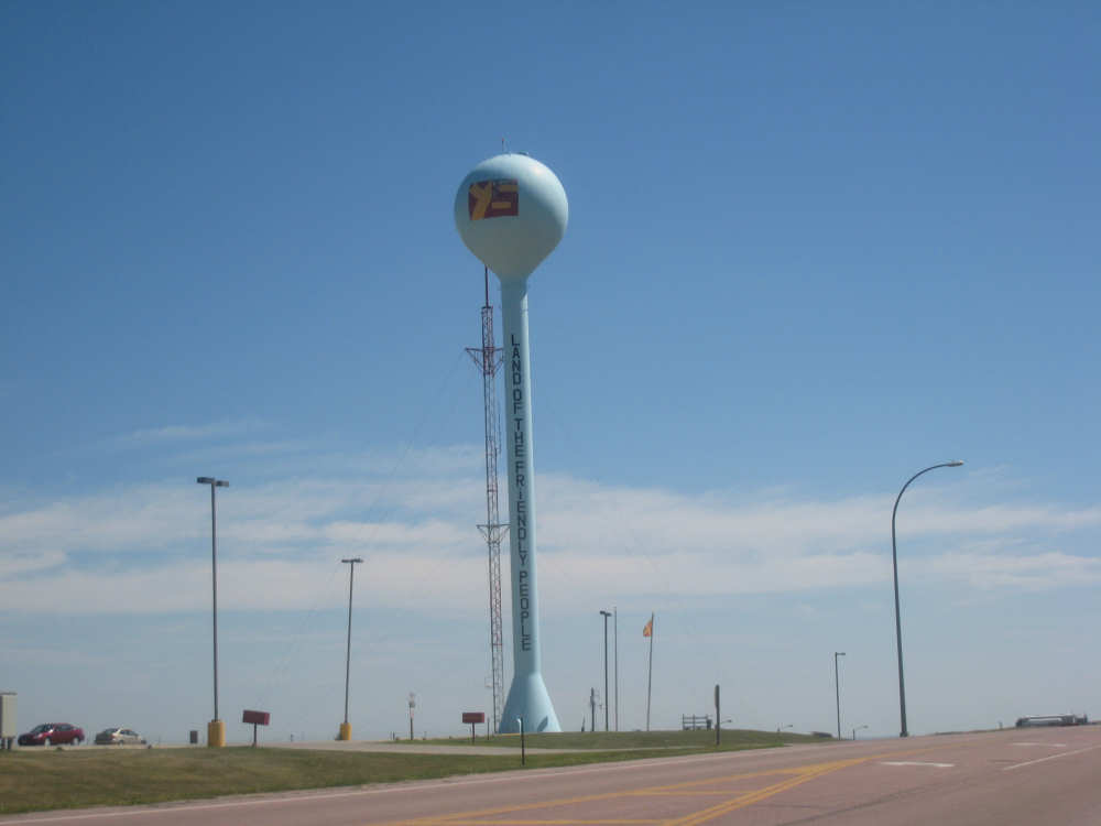
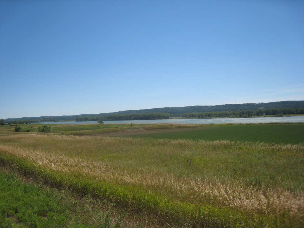
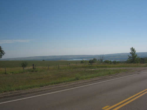
Soon after all that excitement, we began to approach the Missouri River again. We would be crossing the river on a bridge over the Fort Randall Dam and the pretty Lake Francis Case that it created. There was a viewing area just before we got to the dam, with a few plaques about the old fort, the river, and the nearby wildlife area which shelters a large number of roosting bald eagles every year. The view of the dam and the downstream river was lovely from that vantage point as well. Then we continued down the hill and across the bridge, taking pictures as we went. Of course, once we crossed the river, there was a hill to climb on the other side, as always. This one wasn't as bad as the one yesterday morning, though. A little way up the hill we stopped at a cafe in Pickstown, the only town we would stop in today. We had lunch and topped up our camelbaks, knowing we still had about 47 miles to go. At the top of the hill, there was a casino and other stores run by the Yankton Sioux tribe, next to a big water tower with the tribe's logo (a colorful YS) and motto (land of the friendly people) inscribed on it. It seemed like we had entered their reservation, but there was no sign indicating that. Shortly after the top of the hill, our route turned down a BIA (Bureau of Indian Affairs) road, a narrow road with a rough surface. Plus, we were now heading south, into the wind, and the wind was beginning to get stronger. So it was pretty slow going. We went through the small town of Marty, with a tribal community college, a church, and several houses. Other than that, we saw the usual wide croplands and pastures.
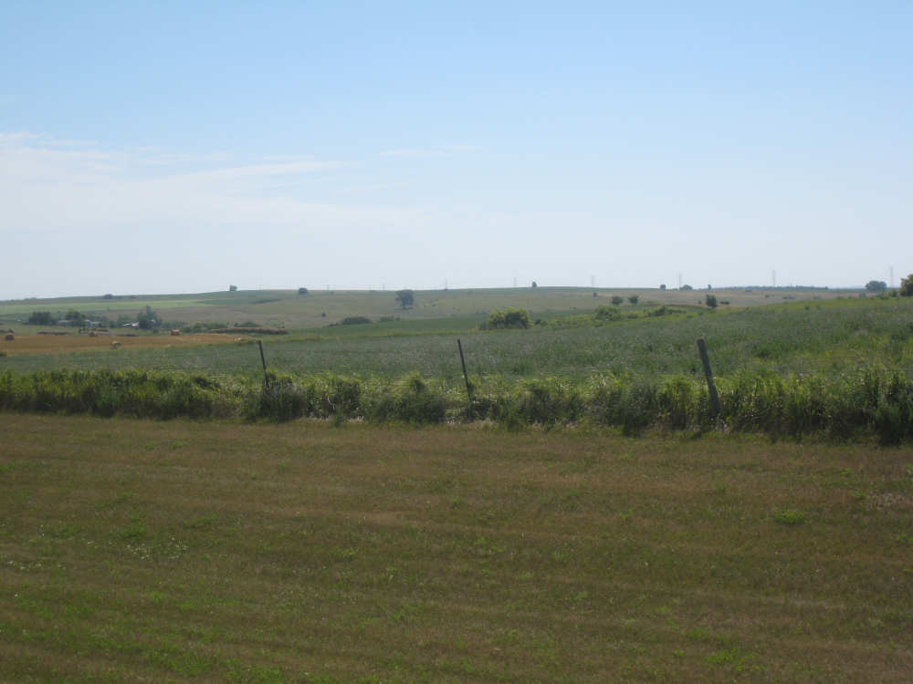
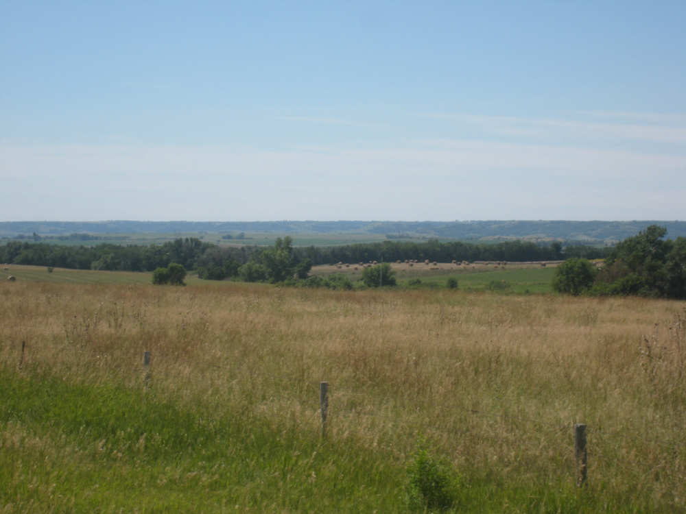
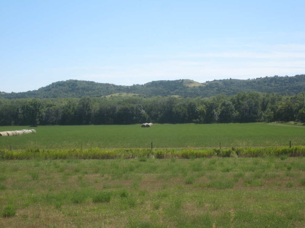
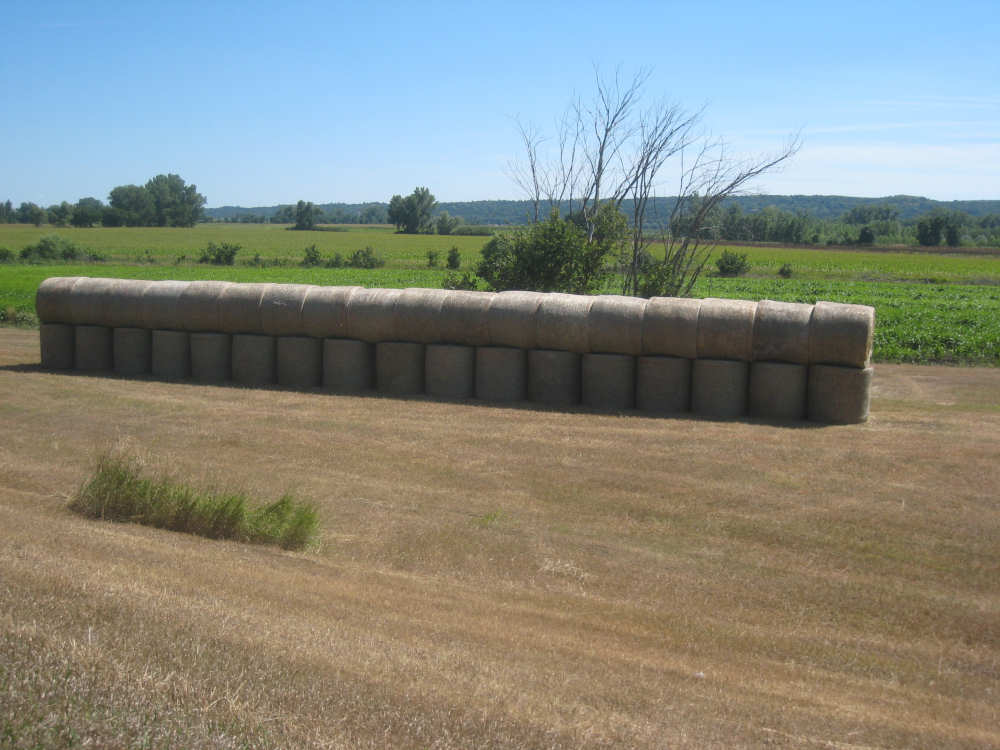
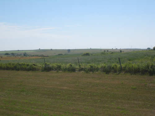
We were heading toward the river again, though, and when we reached it, we were right across from Nebraska. We rode east along the river for about 10 miles, relatively flat and with more of a side wind instead of a head wind. The riding was more pleasant here even though we were pretty tired by now. We crossed the Choteau Creek into Bon Homme County (another zoned county, they quickly told us) and started climbing hills again, swinging away from the river a bit. We noticed that Bon Homme's hay bales seemed to all be in a particular configuration, with a row of vertical bales topped by a row of horizontal ones, looking like a line of mushrooms. A farmer we had talked to a few days back had told us that this was the best method of stacking them because they shed water better that way. It must be a more difficult way of stacking them, though, because it was pretty rare. Here, though, they were nearly all stacked that way (maybe it's in the zoning rules). After one more pretty steep hill, we finally came into the town of Springfield where we'll spend a rest day tomorrow as well. It's a pretty small town and we were relieved to find that our cellphones work here. We're apparently within walking distance of the river, so if all goes well, we may make a trip down there tomorrow. We finished the day at 5:50, having come a little over 74 miles in a little under 7-1/2 bike hours.

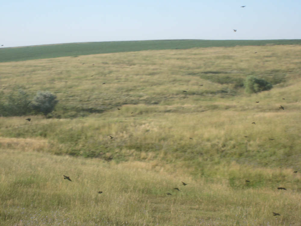
An early morning treat - a flock of birds filling the sky to our side
|

Road work in progress!
|
Cars start to come toward us
|
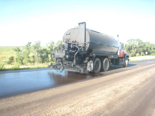
Oil gets sprayed down
|
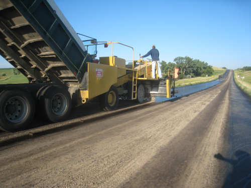
Then sand
|
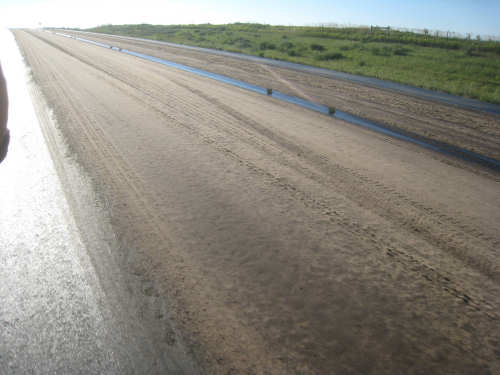
And this is how it looks (the right side was just done, the left was done previously)
|
Back to the pretty scenery
|

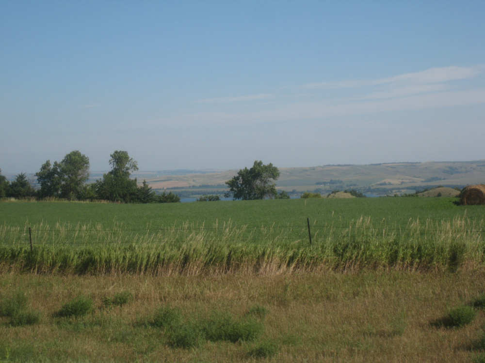
Getting close to the river again
|
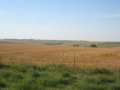
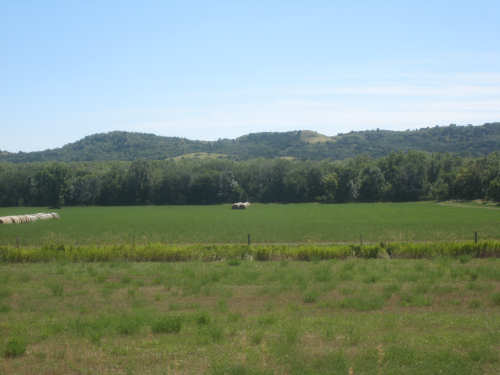
The Missouri River hills jut up behind the crops
|
The terrain around us gets hillier as we approach
|
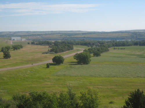
We're about to descend down to the Fort Randall Dam/Lake Francis Case area
|
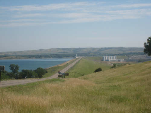
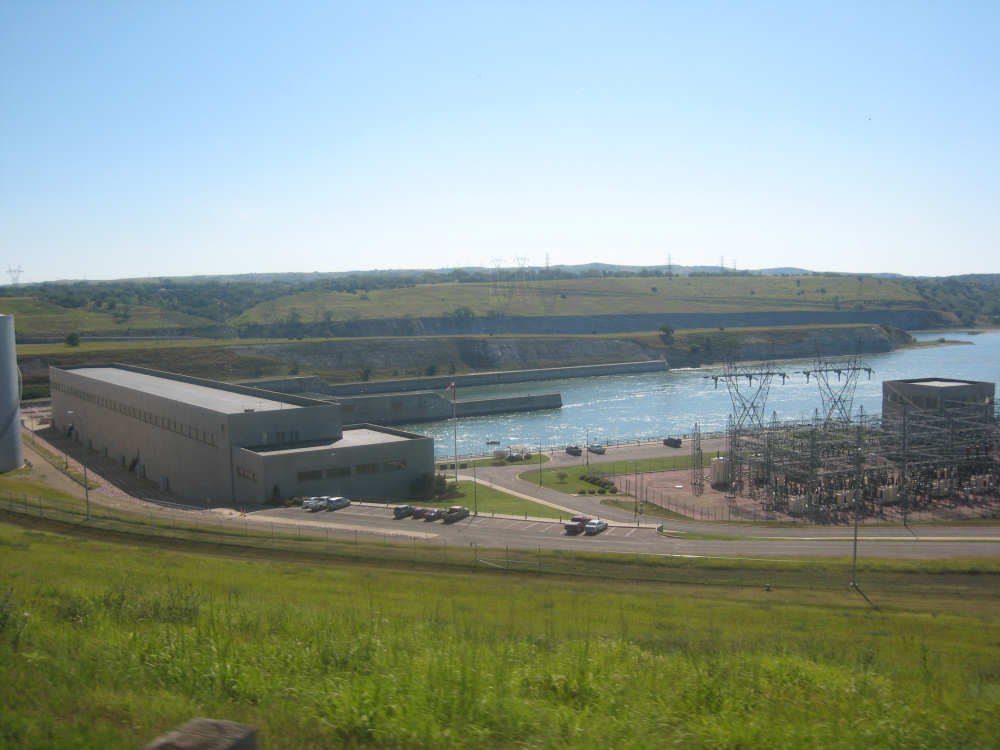
The dam and the lake are in view
|
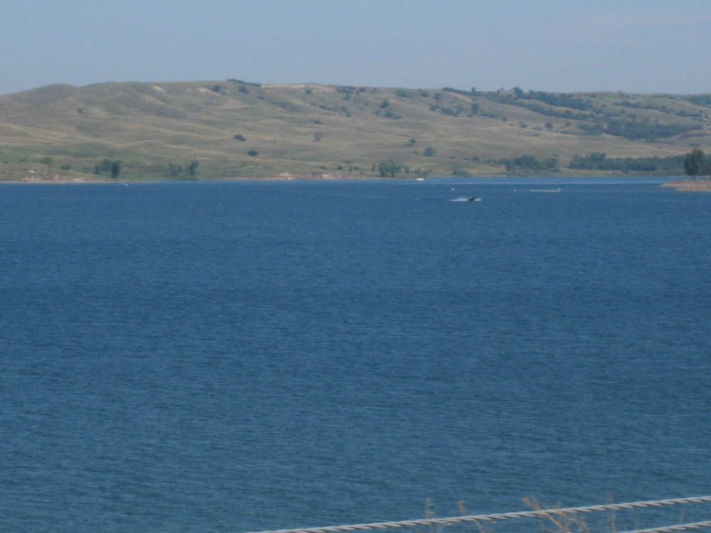
Lake Francis Case, as we approach the bridge across the dam
|
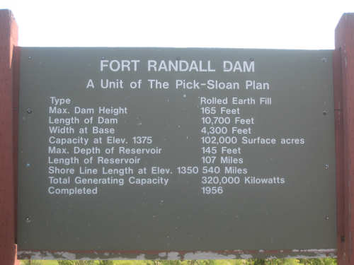
Some specs on the dam
|
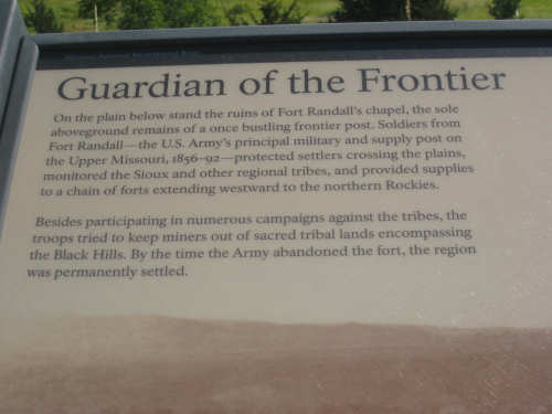
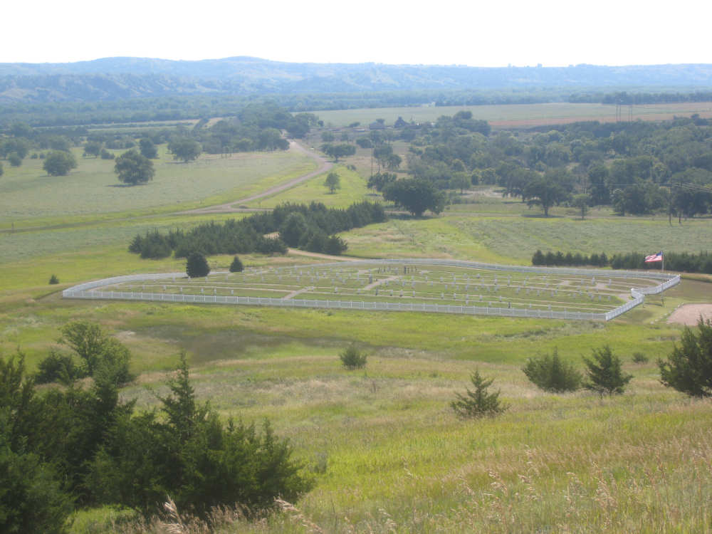
A viewing area had information about the fort
|

This is the outline of the old chapel
|

Other plaques in the viewing area
|
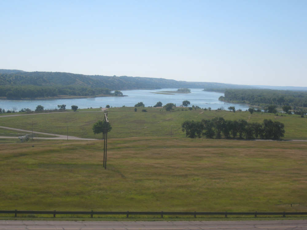
Views of the Missouri downstream from the dam
|
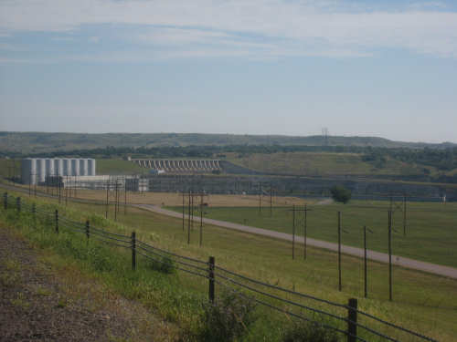
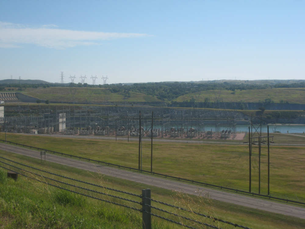
A close-up of the dam and the hydroelectric plant
|
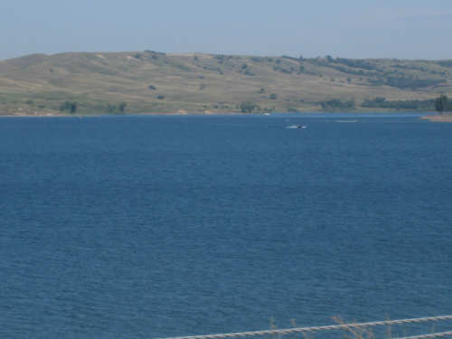
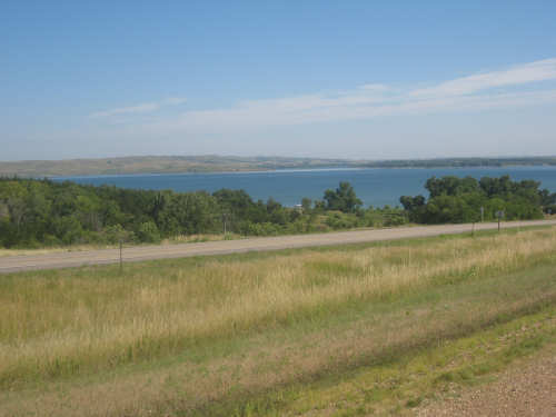
The lake as we go across the bridge
|

Downstream Missouri River
|

A view of the plant as we go past it on the bridge
|
The view on top of the hill on the other side of the river
|

The Yankton Sioux tribe's logo and motto, in front of a casino
|
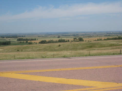
A wide plain on either side at the top of the hills
|

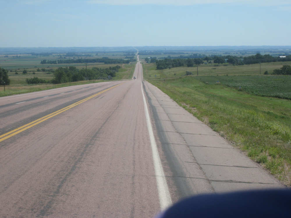
Our road stretches out ahead of us
|
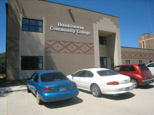
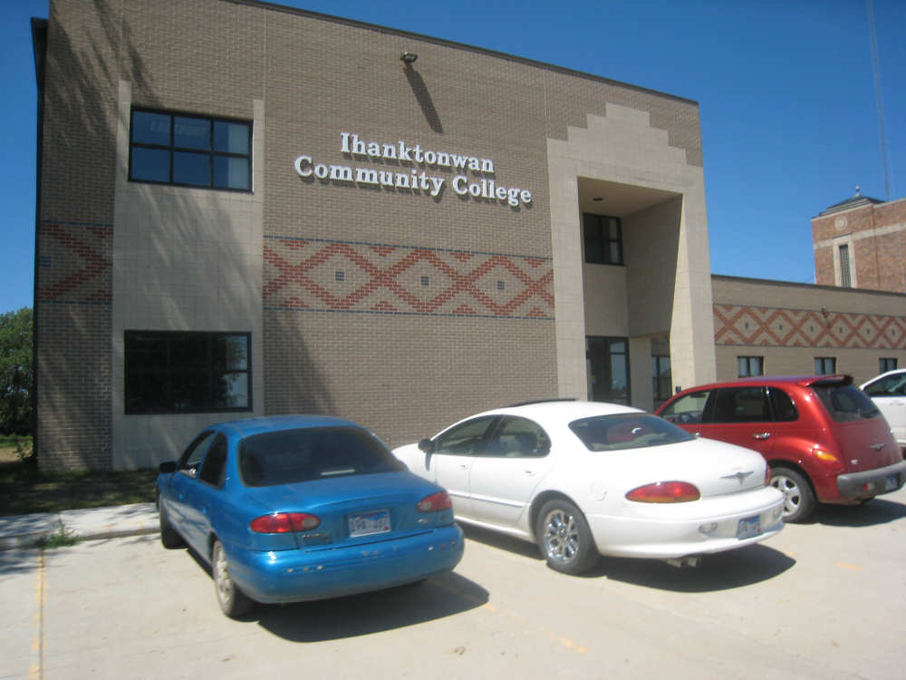
A Community College down B.I.A. Road 29
|

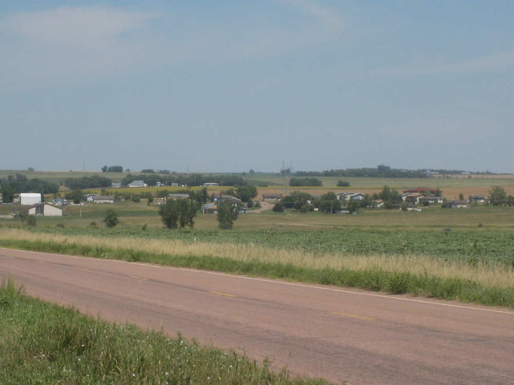
The town of Marty...
|
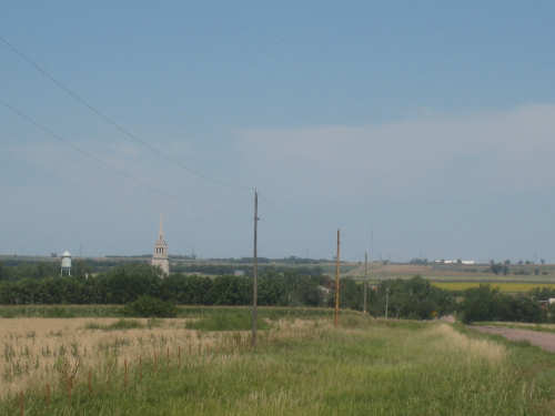
and its church steeple and water tower
|
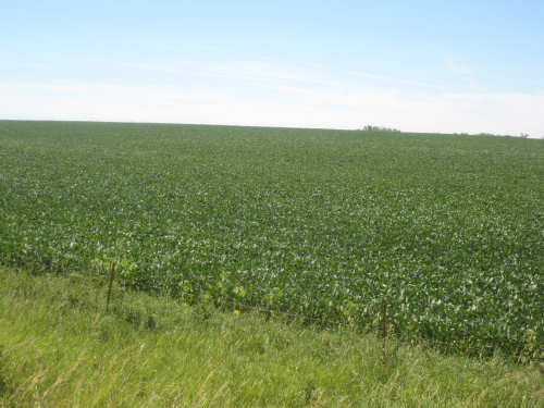
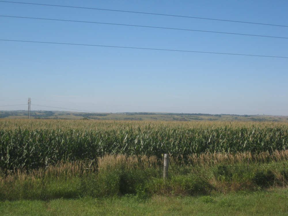
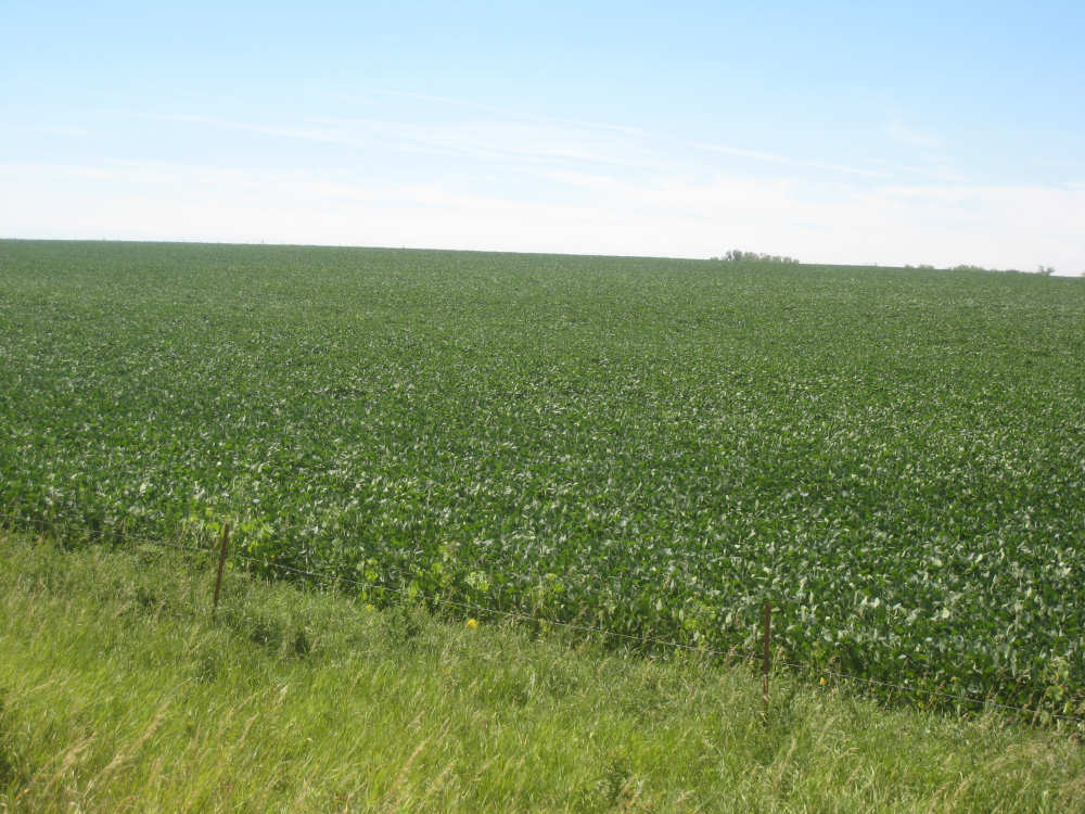
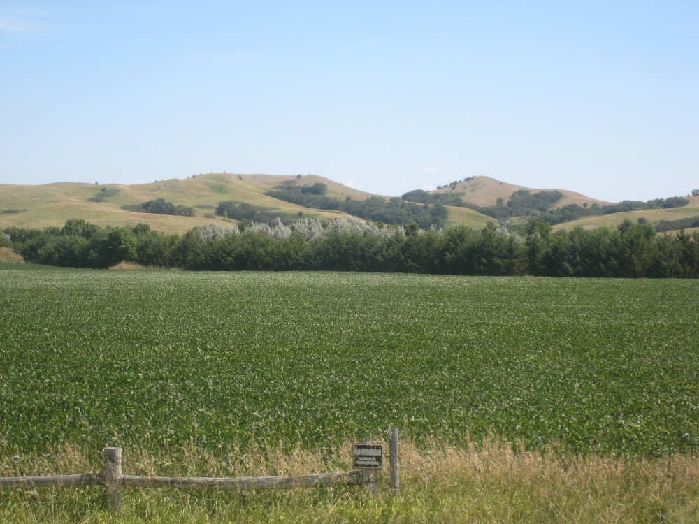
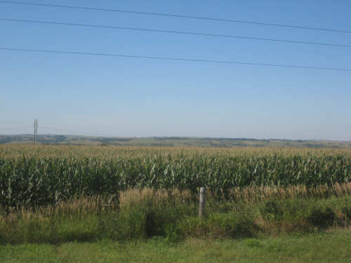
We must be near Iowa - there are huge fields of soybeans
|

Getting near the river again
|

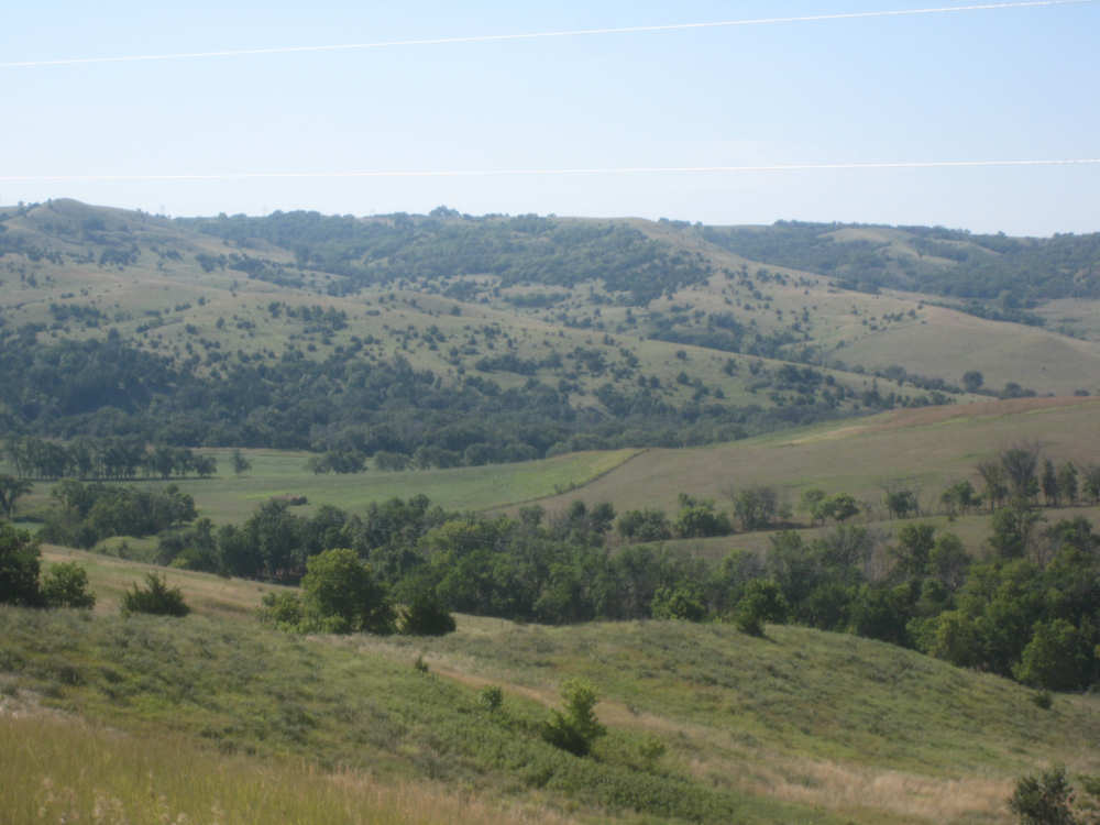
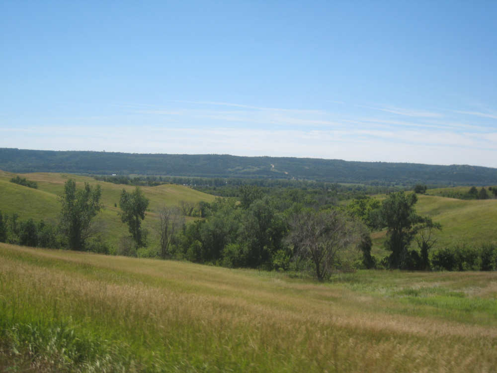
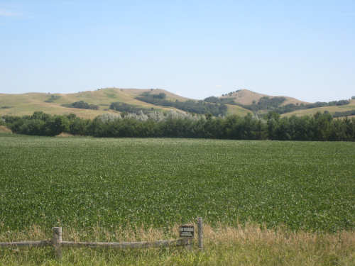
Riding along the Missouri, the hills we see now are in Nebraska
|
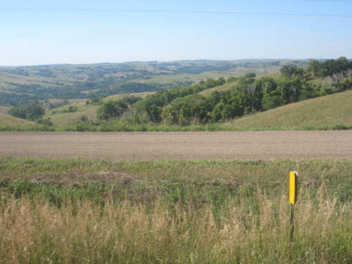
And quite stunning hills they are, too
|
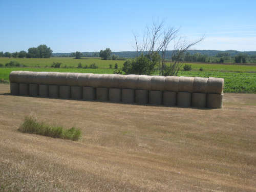
Very neatly stacked hay bales in Bon Homme County
|
Some South Dakota hills ahead as we approach Springfield
|