Tuesday, August 12, 2008
Sloan, IA to Missouri Valley, IA
63 miles (7468 total miles)
MUCH better today - it was still very flat and the wind was calmer as well as changing into a tailwind early in the morning. We left the motel at 7:30, noting that it must have rained more overnight, given the number of puddles around. It was still cloudy when we left but cleared up quickly and turned out to be a gorgeous day. It was a little cooler too so it was a thoroughly pleasant day. The riding was pleasant, too, and our average reflected it - over 2 mph faster today with less effort. We went a mile farther (a little under 63 miles) in an hour less bike time (a little under 5-1/2 hours) and got to our motel an hour and a half earlier (2:45), much less worn out.
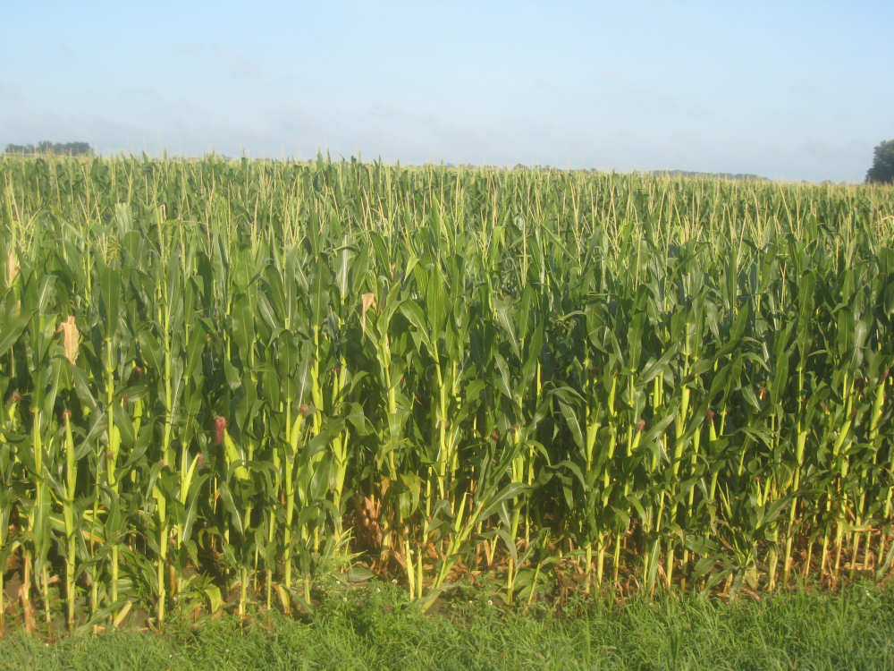
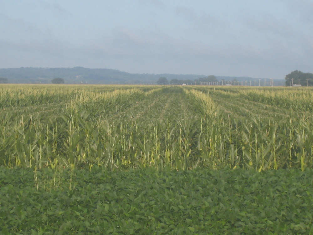
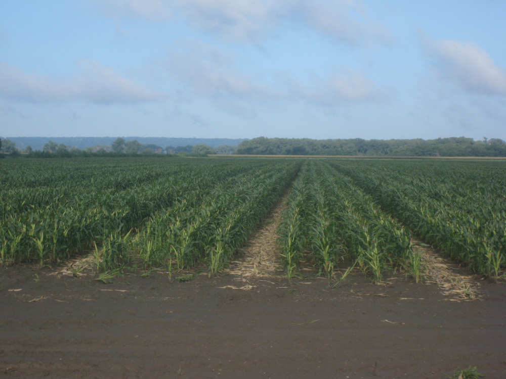
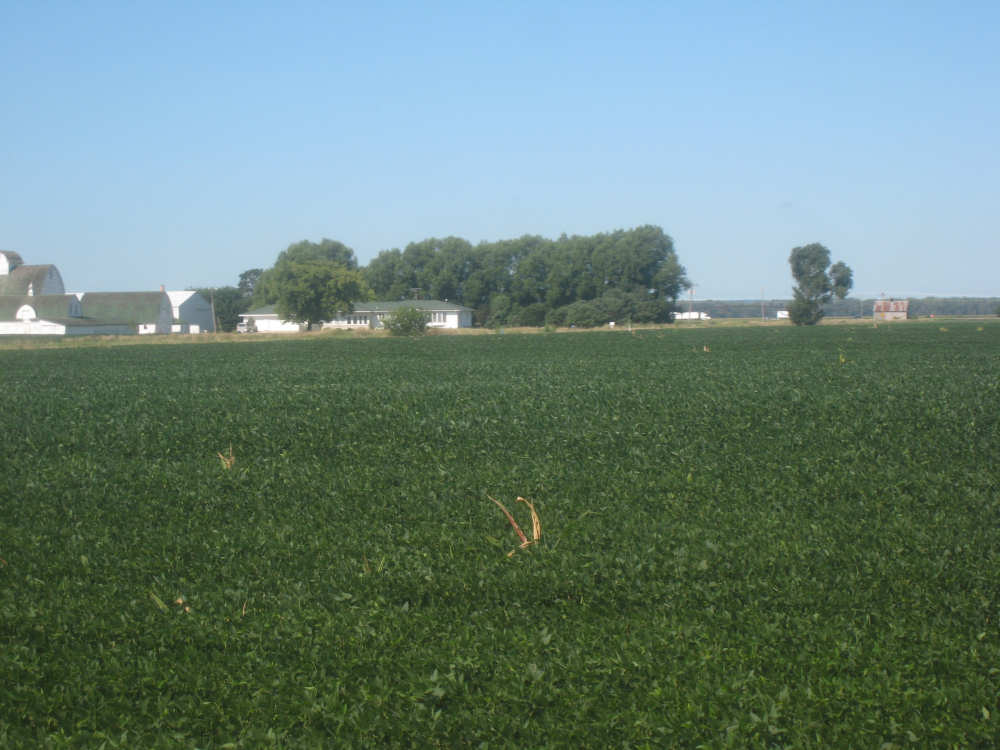
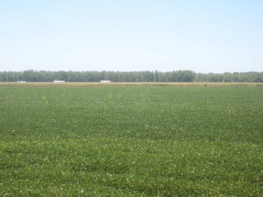
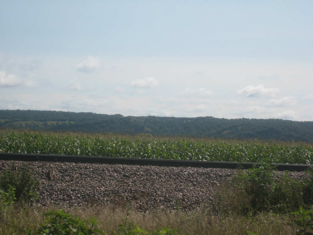
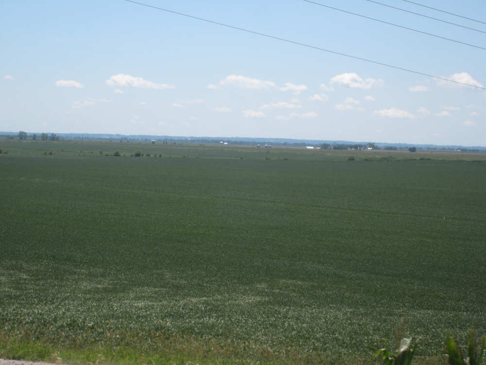
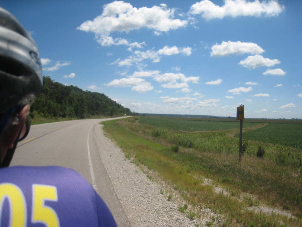
The scenery was beautiful today, too. We started out on a quiet county road, heading mostly south, a little east. We were going parallel to the Missouri River, just west of us, with I-29 slipped in between. Most of what we saw this morning were crops, mostly corn and soybeans as expected, filling nearly all the flat land around us. We noticed something about the corn that puzzled us. Many fields had one taller row of corn for every 4 shorter ones. Other fields had an empty row for every 4, and the 4 looked like their tops had been cut off. When we stopped at Onawa, our first town of the day, we asked a guy about it. He explained that the tall rows were male seed corn and the short rows female. After pollination, the male rows were cut down and dried out for use as seed. The tassels at the top of the female corn stalks were cut off since they weren't needed for pollination any more and more nutrition could go into making the corn ears if they were gone. Nice to have people explain all these tricky parts to us.
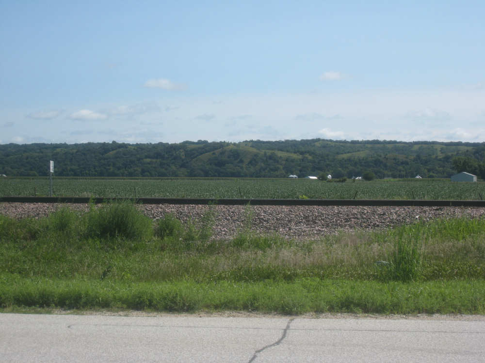
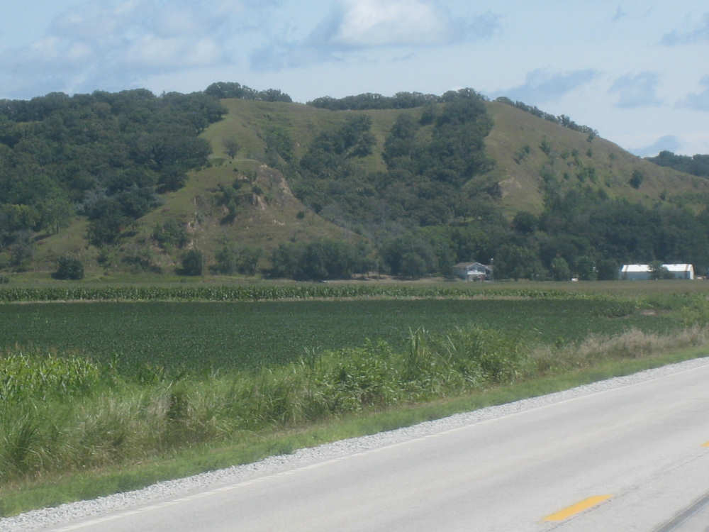
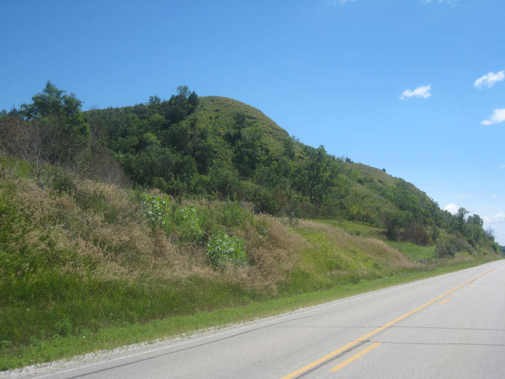
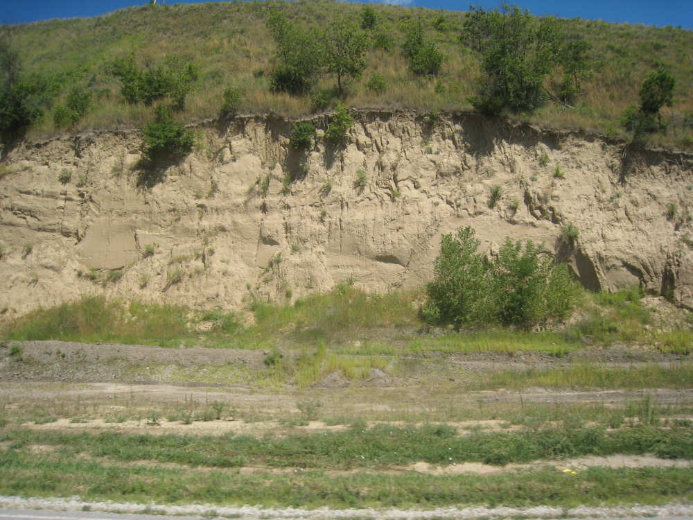
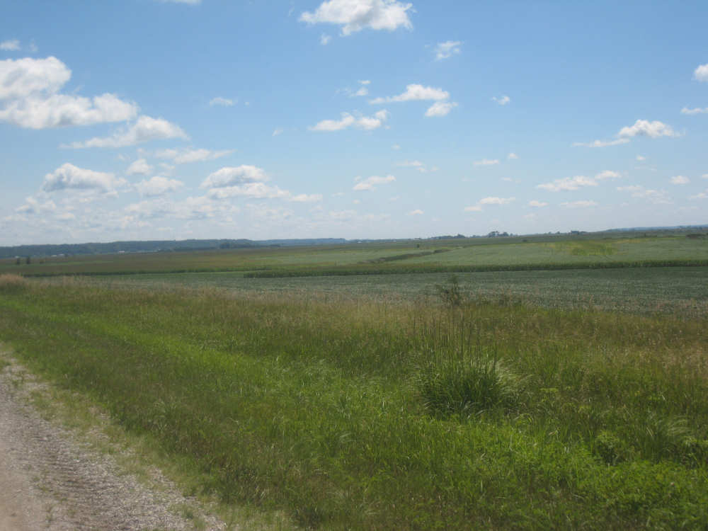
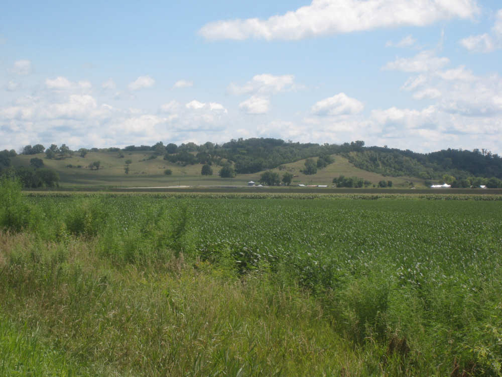
After Onawa, we had a similarly easy and pretty ride to Mondamin, the gateway to the Loess Hills. We could see the hills in the distance. getting ever closer as we approached Mondamin. We stopped in town for lunch - our two towns today were spaced just the way we like them, one a third of the way for a mid-morning break, the other two-thirds of the way, in time for lunch. Pat was wearing his Ragbrai shirt as usual and we started chatting with the waitress about Ragbrai. She mentioned that this year's Ragbrai, which went on just a couple of weeks ago, had started in Missouri Valley, the town we were headed for tonight. Most of the last 17 miles from Mondamin to Missouri Valley we passed along the feet of the Loess Hills. They are really lovely hills, green and undulating. In a couple of spots, the underlying earth was exposed - it looked very much like sand. This was the only section we had any climb at all and it was pretty mild. To our right, the valley stretched out to the river, vast and green. We cruised between the hills and the valley, enjoying the views until we turned off toward I-29 to find our motel.
Tomorrow we'll have a tougher time of it, about 73 miles with fewer towns and more climbs. We will also enter Nebraska, though, our 23rd state. By the way, one of our favorite readers, Dwight from Cherry Hill, NJ, solved a mystery we had in Elk Point, Iowa yesterday. The 100F sign we saw on the historic building there was actually IOOF - the Independent Order of Odd Fellows, an international organization (www.ioof.org). Thanks, Dwight! Another by the way - the Iowans are very proud of their Olympian gymnast, Shawn Johnson.
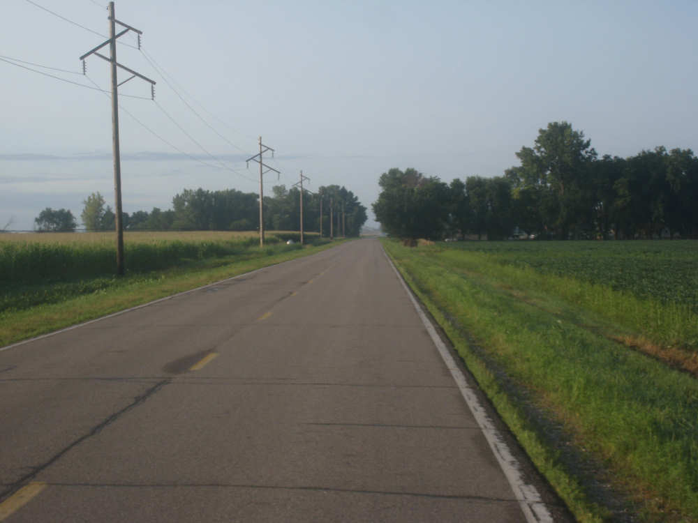
Our quiet county road early this morning |
The ears of this corn had bright red tassels! |
An example of our male/female corn rows |
In this field, the male rows have already been cut down |
An Iowan farmhouse |
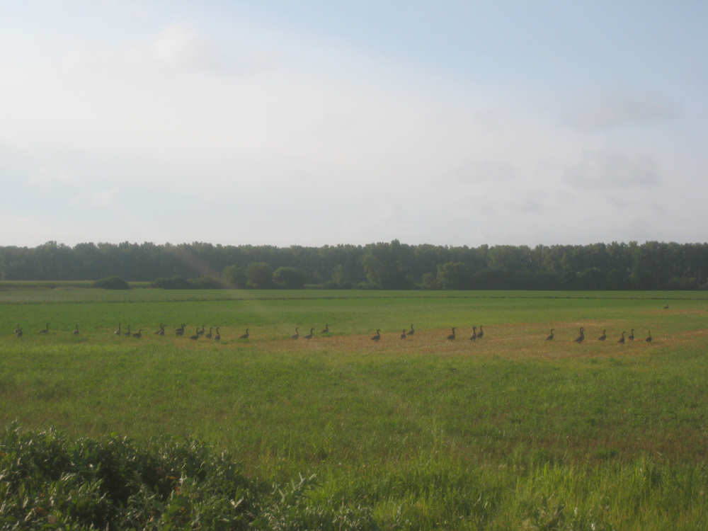
Canada Geese lined up in a field; the Missouri River is behind the trees |
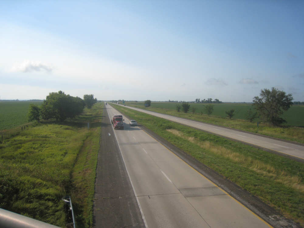
Crossing over I-29 at an unusually quiet moment |

Several road signs were multi-layered like this, making it very clear which way to go |
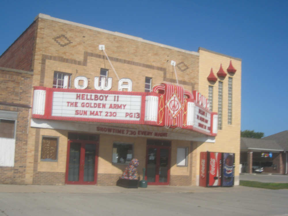
An old-time movie theater in Onawa, note the decorated dog statue in front |
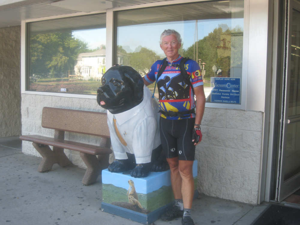
Pat poses with another dog statue (a Lewis & Clark Newfoundland?) at the grocery store |

Neat, tidy houses in Onawa |
Another farmhouse |

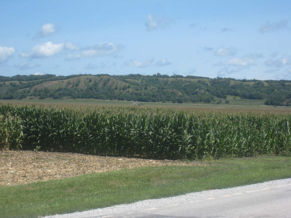
An early view of the Loess Hills |

One of several creeks or irrigation ditches off the Missouri |
Trees along the Missouri with the I-29 trucks and a big soybean field |
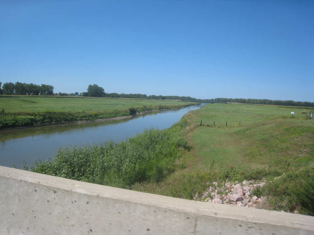
Another creek |

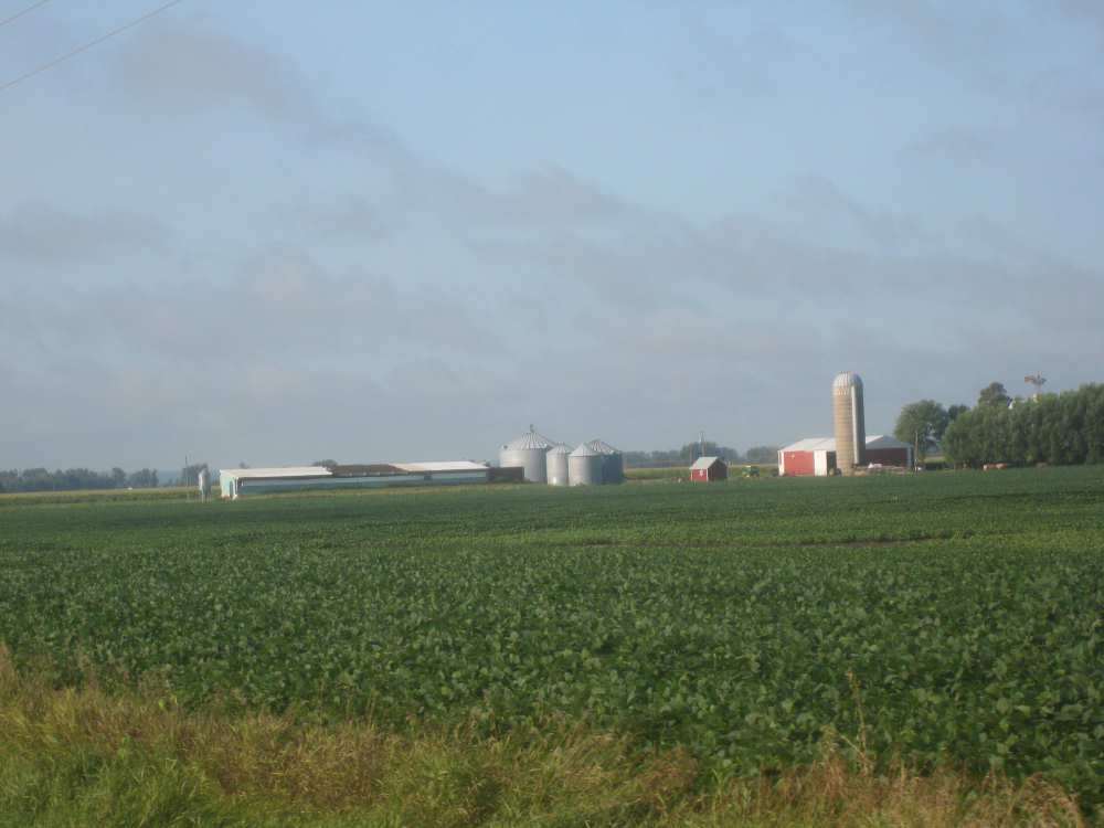
The grain silo at the little town, River Sioux |

Pat investigates a soybean plant, with tiny soybean pods |
The hills are getting closer |
|
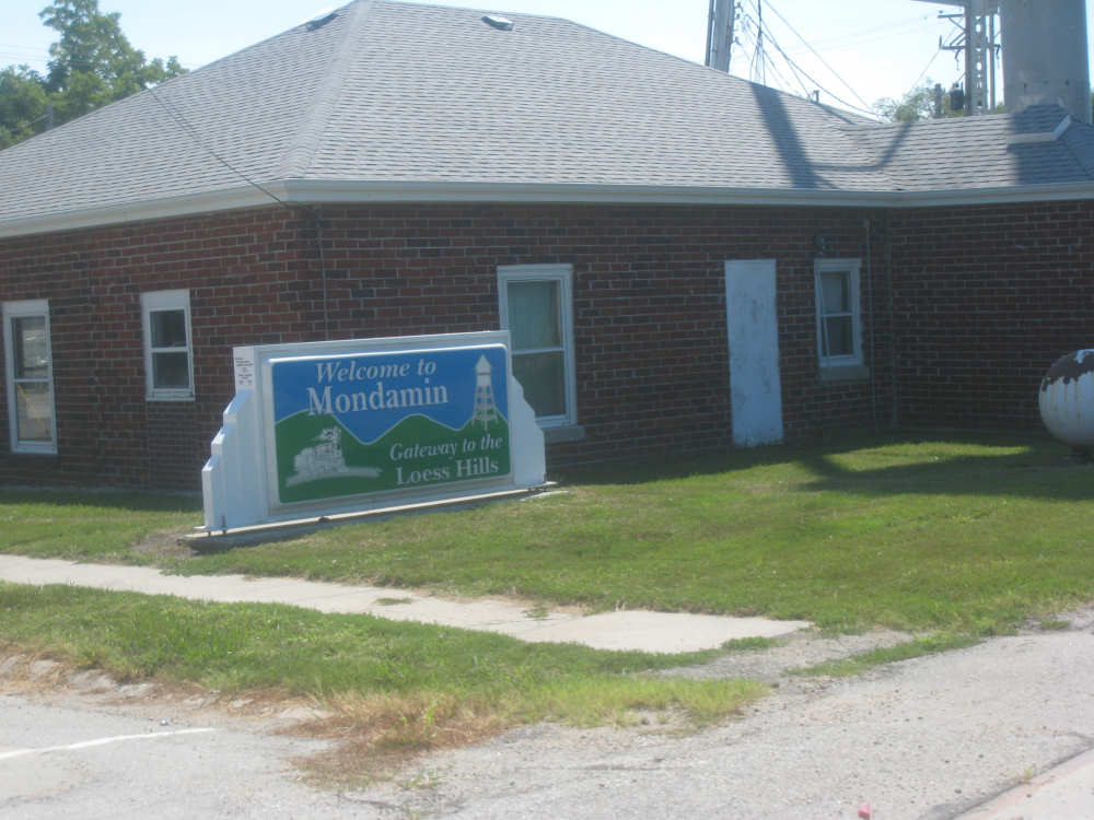
The Mondamin welcome sign |
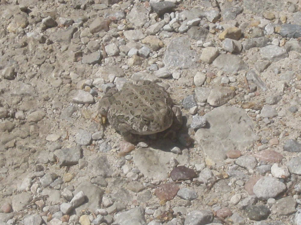
A tiny toad we met in the parking lot of our lunch stop |
We finally reach the hills |
|
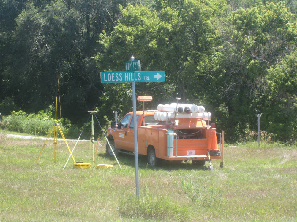
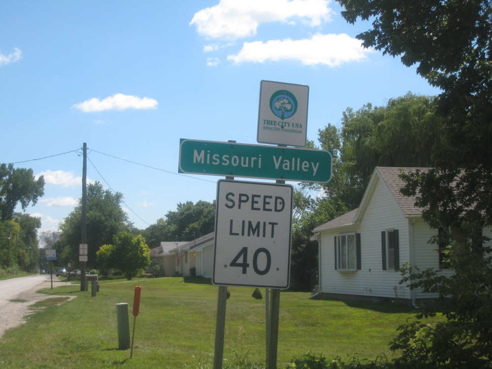
The road signs... |
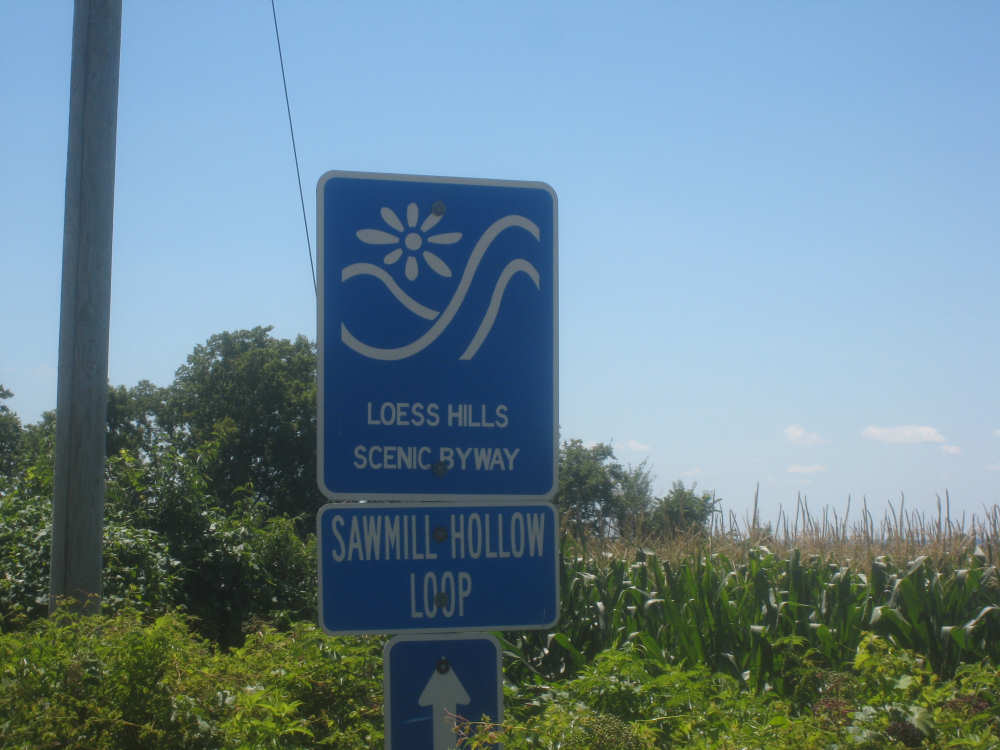
make it clear where we are |
The valley below |
|
A sample of what the hills are made of |

More views of the valley... |
|
our road... |
and the hills |
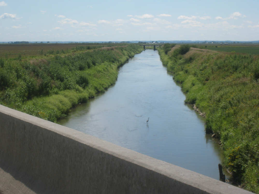
Another creek, with a heron standing in the middle of it |
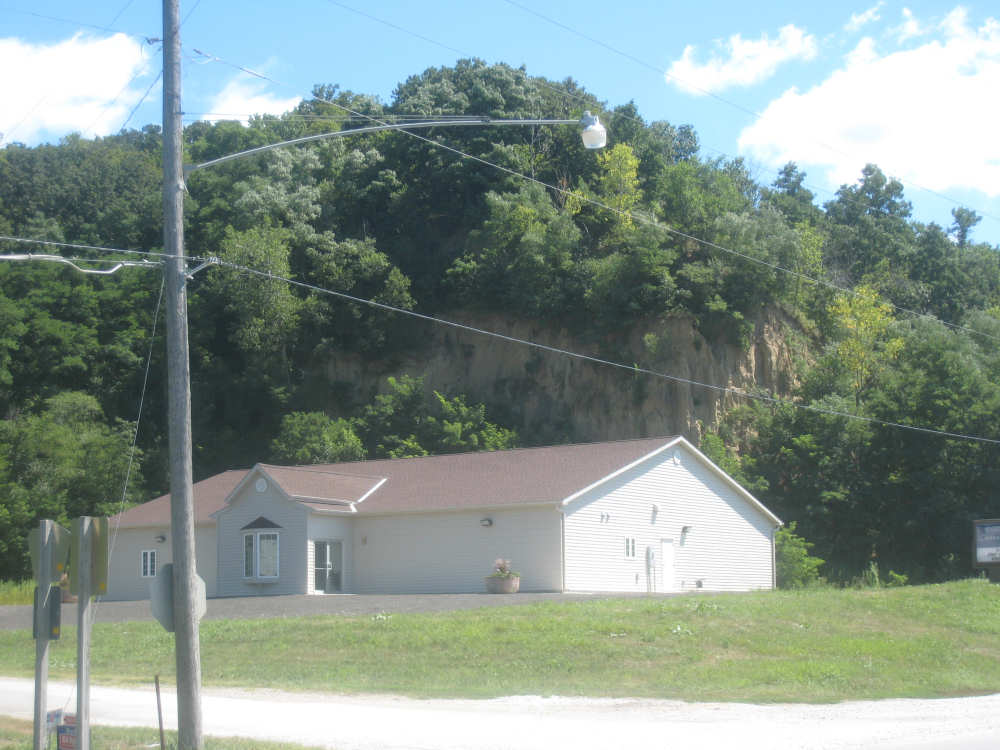
Coming into Missouri Valley, a cliff seems to loom over a church |
Residences at the edge of town |
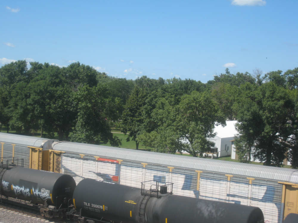
Two trains went by in either direction as we crossed the bridge over the tracks |