Wednesday, August 13, 2008
Missouri Valley, IA to Nebraska City, NE
77 miles (7545 total miles)
Long day, and with a detour thrown in besides! Today was the longest day of this week, and the hottest and muggiest. At least there weren't many hills and the wind wasn't bad (although it wasn't the tail wind NOAA had promised us - they better straighten up tomorrow, our hilliest day of the week!). We spent most of the day rolling along the Loess Hills again, and ended the day by crossing the Missouri River into Nebraska, our 23rd state. Just before we did that, though, we ran into a little adventure, which I'll save for later.
It was quite a varied day. We started on County Road L20, the Loess Hills Trail, which we were on for a good part of yesterday. The hills were as pretty and interesting as ever. We went through a few small towns which reminded us of the towns we saw during our Ragbrai tour 3 years ago - small, but with a lot of character. We followed L20 to Council Bluffs, a large town (58,000) right across the Missouri from Omaha, NE. It was a very pretty town, and we meandered through a residential section (saw a deer hiding in some trees there) until we got onto a bike trail that took us through a southeastern part of town, past the Iowa School of the Deaf (in a lovely wooded setting), and onto the Washburn Trace Nature Trail. A very enjoyable way to get through the city. Once we came up the bike trail, we got onto another county road, L31, which we were on for most of the rest of the day. This road still ran parallel to I-29, between the Loess Hills to the east and the Missouri River to the west. It was a lot more desolate than L20, however, with only a few, very small towns along its path. We didn't come to a gas station, convenience store, or grocery until the town of Percival, about 35 miles after Countil Bluffs and over 55 miles into today's trip. We stocked up on our ice and water there and had a very refreshing cold soda. Once when we stopped for a rest along L35, a car came by and stopped to see if we were ok and, as usual in Iowa, stayed for a few minutes to chat. He said he was originally from New Jersey (Point Pleasant Beach) and had come here ("where the people are civil!") when he retired. He had just been fishing with his grandson at a lake we passed later on.
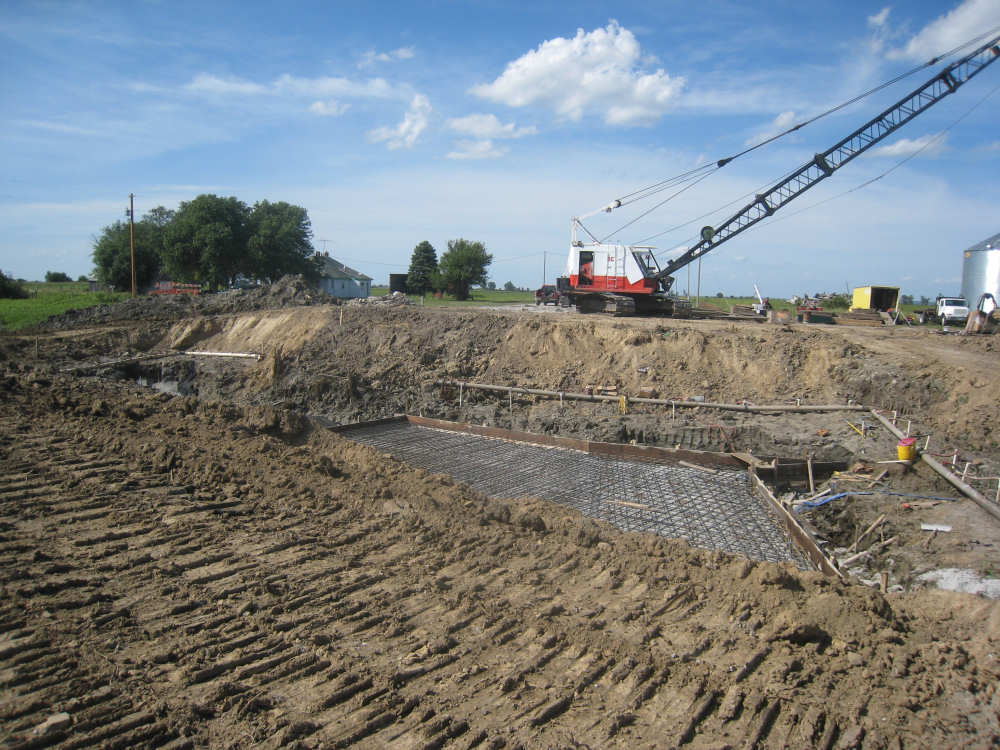
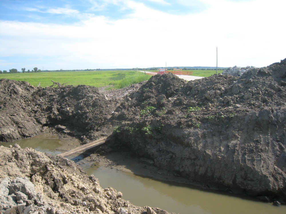
We left Percival newly refreshed and looking forward to having just 16 miles or so left to go. We were 4 miles away from our turn off of L31 onto Rt. 2 which would take us over the river into Nebraska when we saw a sign saying Road Closed 3 miles ahead. We wondered just how closed the road would be - would we still be able to get by? Lately the closed roads we've seen had been completely torn up, so we were a little worried about it. We came to a detour sign 2 miles later and had to make a choice - go down a road we didn't know anything about that might take us miles out of our way or take a chance on the closed road and maybe have to do a lot of backtracking. We decided to press on and take our chances on the road not being completely closed. Well, we finally came to the road closure and found a big hole in the ground where they were just starting to put in the foundation for a bridge. The workers told us we could try getting through - there was a plank over the stream we could walk over. We went to investigate on foot and found a rickety couple of 2X10s over the water and a steep, muddy bank down to the planks and then back up the other side. No way we could get our bike across that. We went back to the workers, who were conveniently on a break, and asked them about a way around to Rt. 2. They pointed us to a gravel road that would take us around, so off we went. For the most part, it wasn't bad - there were some hard-packed dirt strips we could ride along in the midst of the gravel. It was pretty jarring but at least we didn't slip around on the gravel that much. We were on the road for 3 miles or so, and about 5 or 6 cars and one tractor passed us during that time, each of them raising a big cloud of dust. We were very relieved when we finally made it to Route 2 and got onto a smooth road again. We had one last climb, up to the bridge over the Missouri, crossed the river and entered Nebraska. We almost got lost as we got into Nebraska City, our destination for the night, but managed to work out where we had to go. We ended at almost exactly 77 miles in 7-1/2 bike hours, arriving at our motel by 6 pm (having left at 7:40). Besides being in a new state, we hit another milestone today - we started the last section of Adventure Cycling maps. We're within 500 miles of the end of the Lewis & Clark trail.
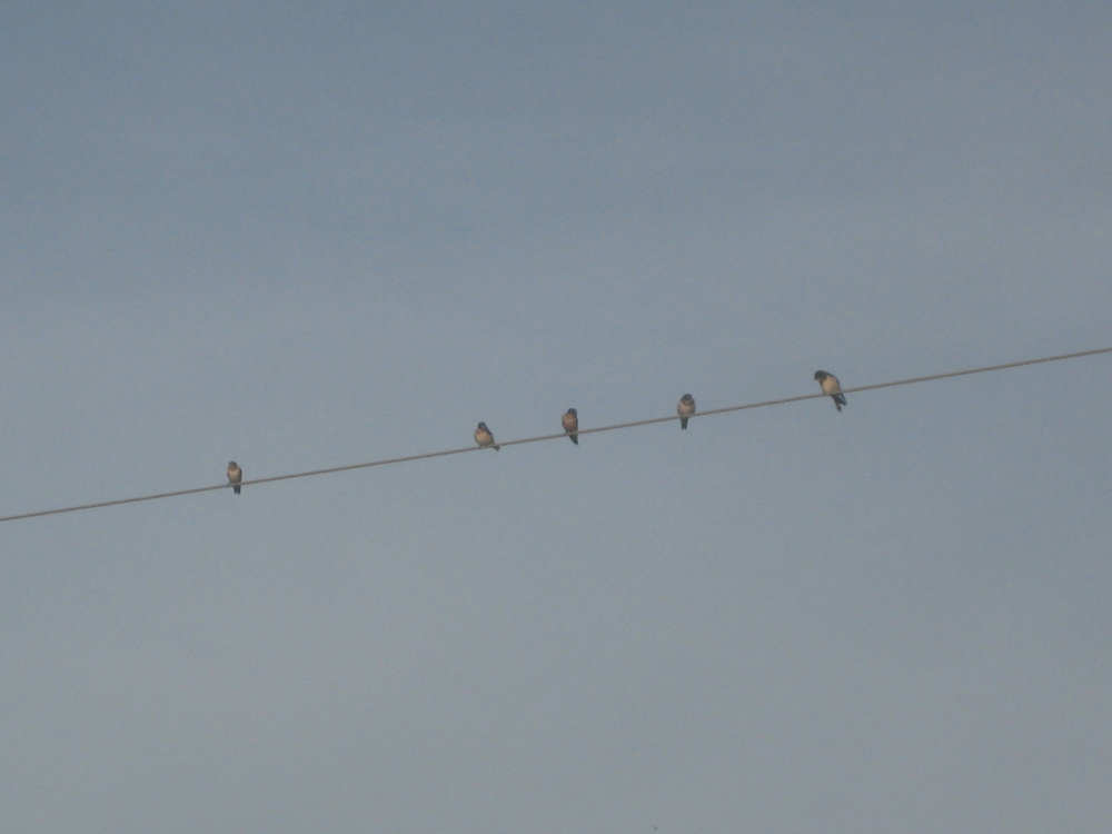
A flock of little birds on the wire outside our motel this morning |
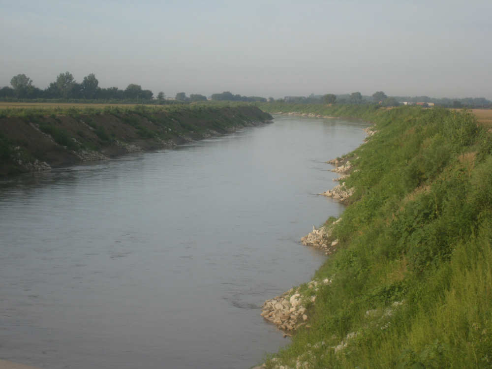
Boyer River with steep, rocky banks |
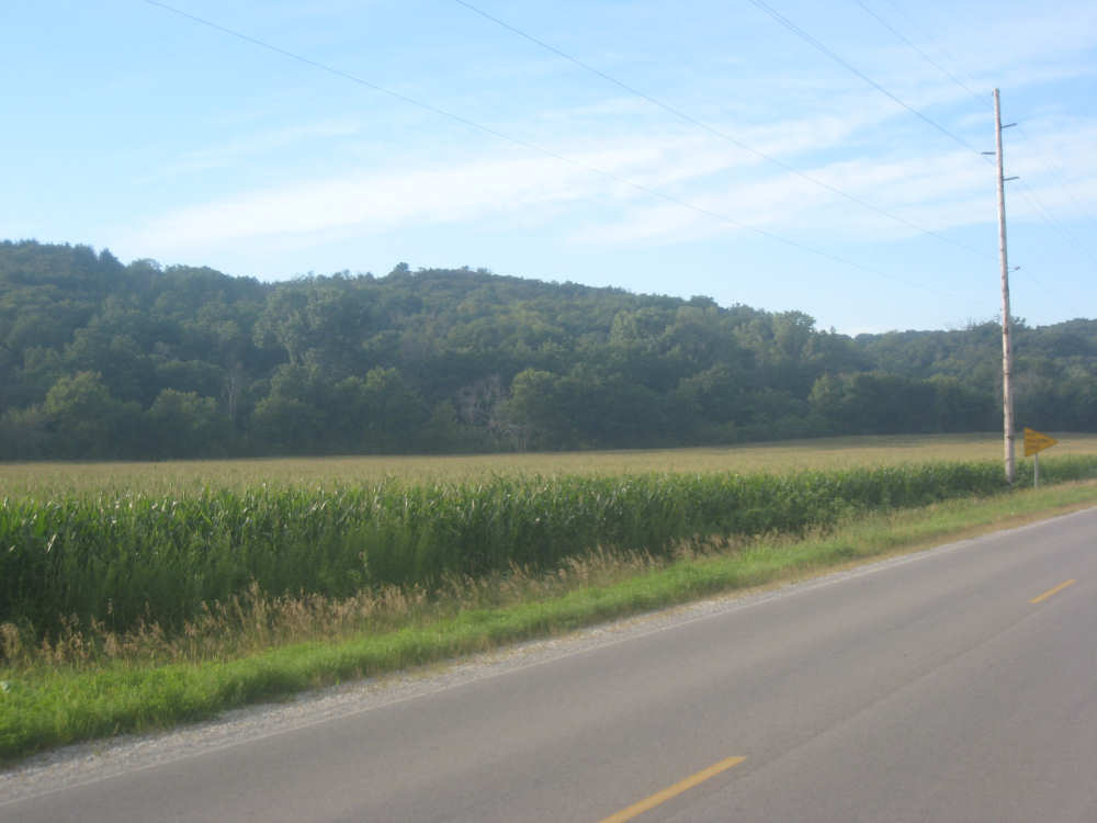
Wooded Loess Hills are still close to our road today |
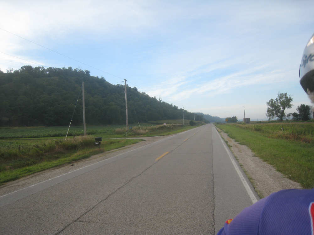
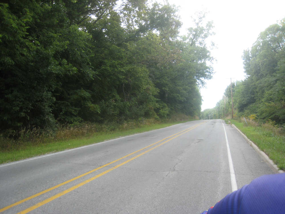
L20 with a long, straight stretch ahead |

A fancy home along the Loess Hills Trail |
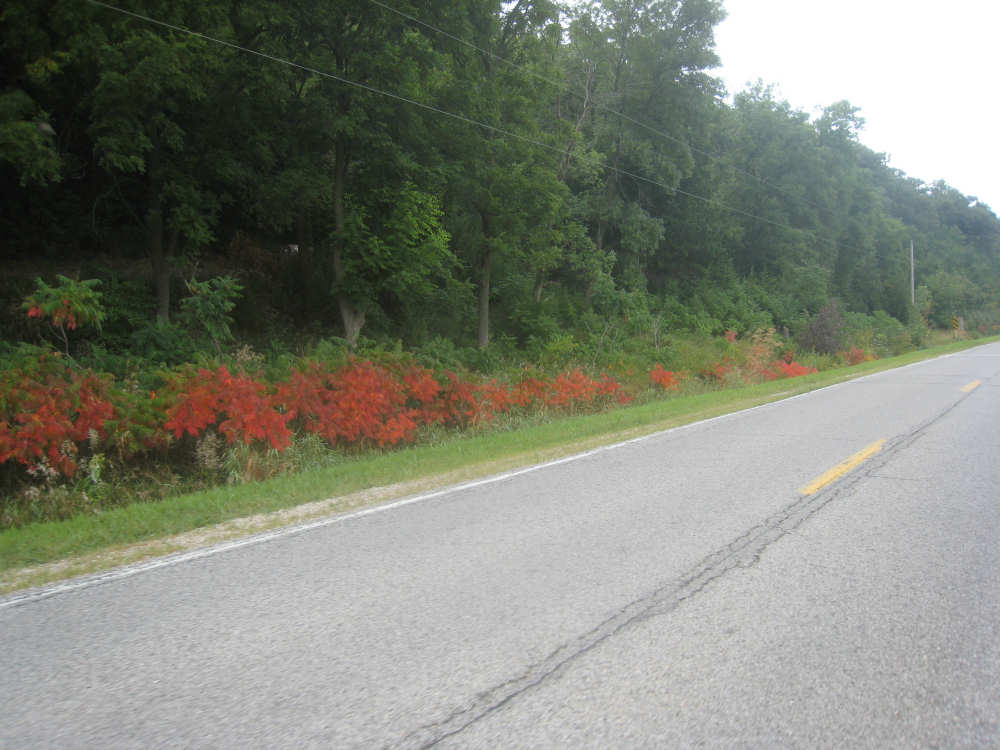
Bright red sumac - are we having an early fall? |
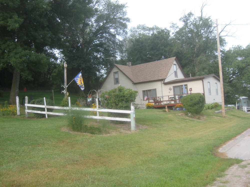
A home in the little town of Honey Creek |
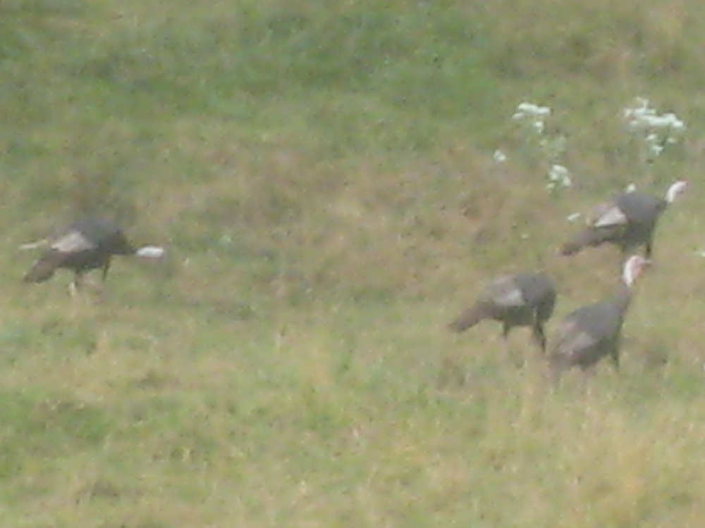
4 wild turkeys forage along the road |
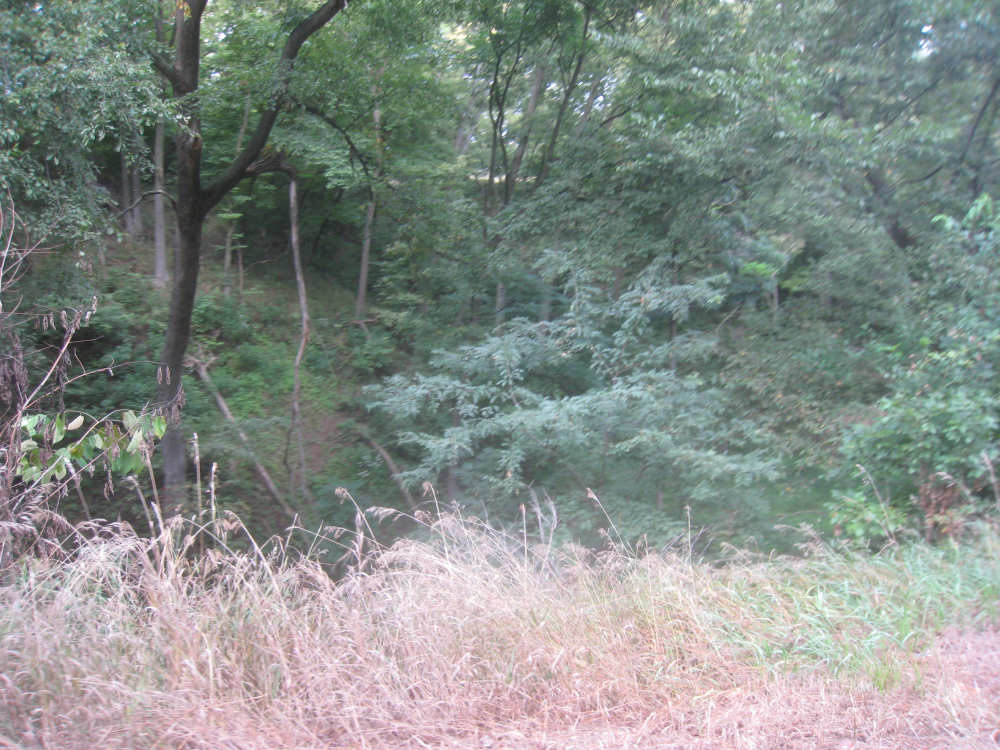
Climbing a steep hill next to a chasm - Honey Creek at the bottom, perhaps |
Almost at the top of our hill |
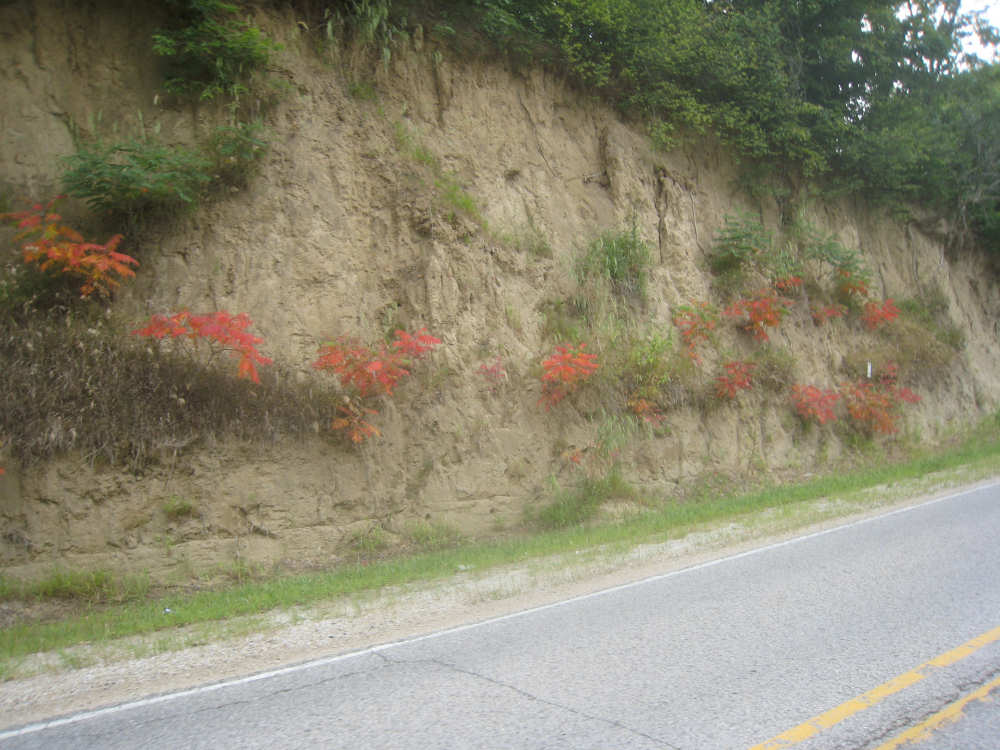
More sumac growing out of the sandstone cliffs |
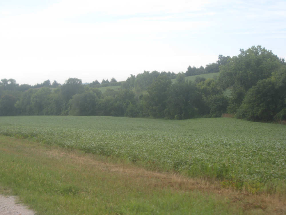
Loess Hills, with crops planted at their feet |
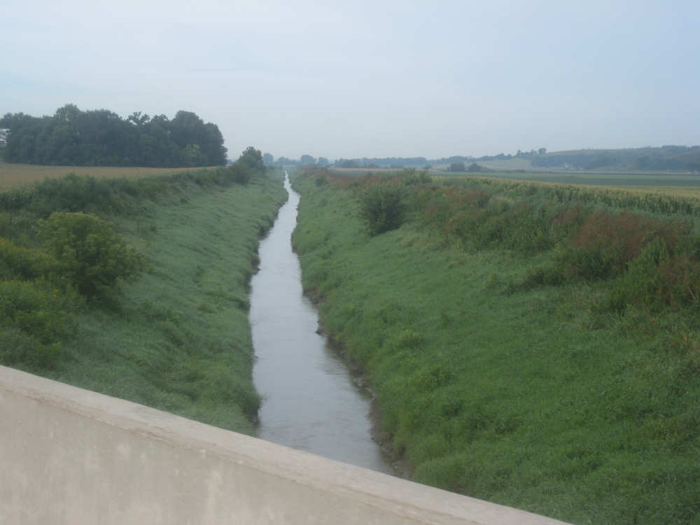
An irrigation ditch or levee |
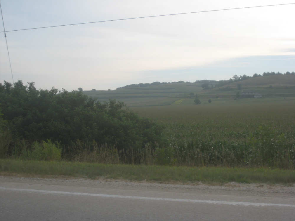
The hills, terraced with crops... |

and some farm buildings nestled in the valleys |
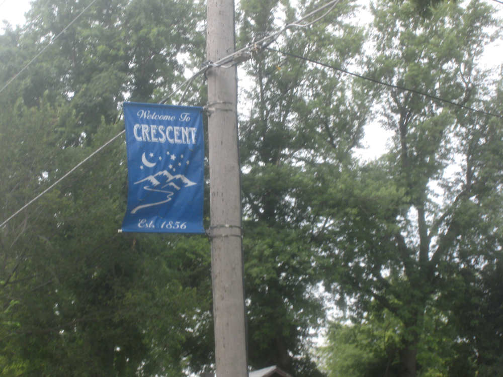
We enter the town of Crescent |

In the market for a used tractor? |

Suburban sprawl in Crescent, IA? |
Crops cover the hills |

A bayou in Council Bluffs, with a road across it |
Near the top of another steep hill in a residential section of Council Bluffs |
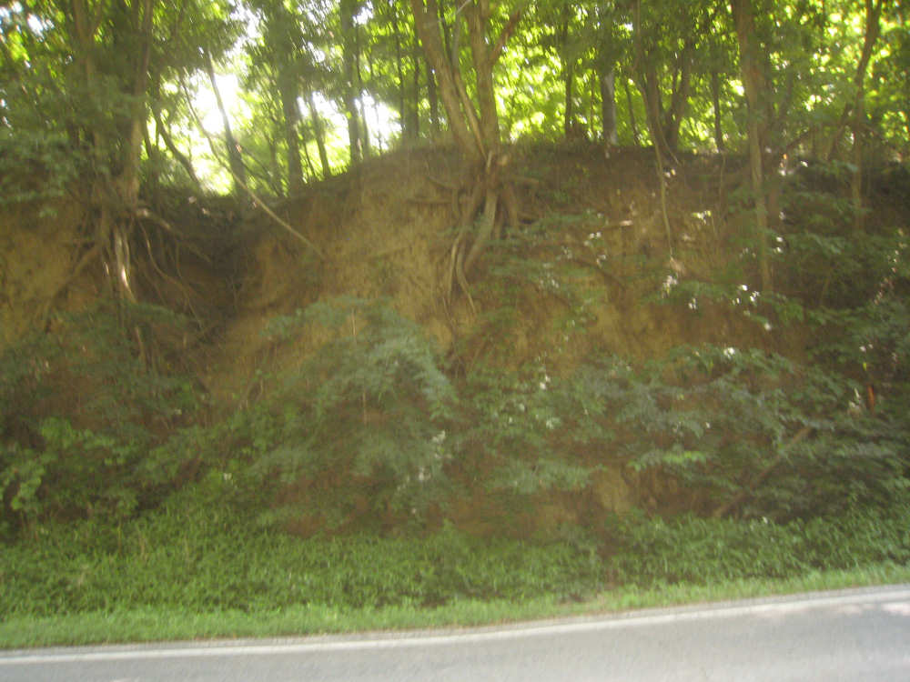
Exposed tree roots in the sandy cliffs |
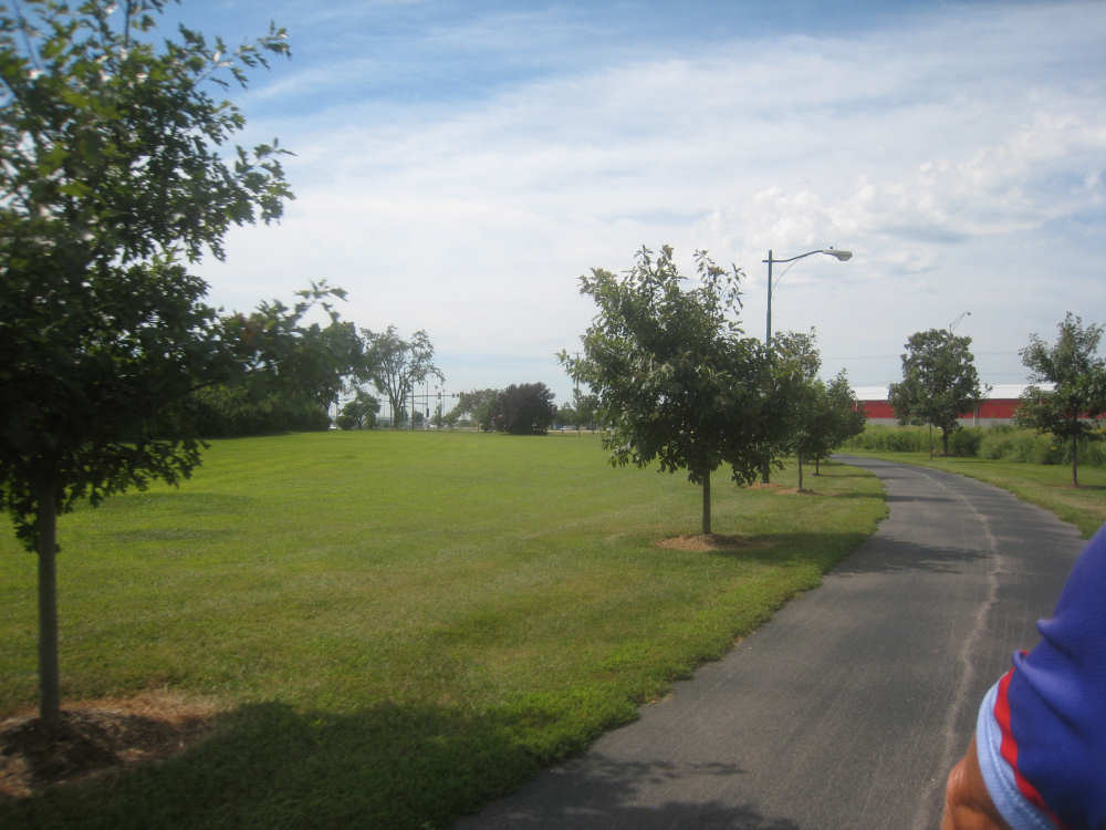
On the bike path skirting the edge of Council Bluffs |

The bike path runs through the Iowa School of the Deaf campus |
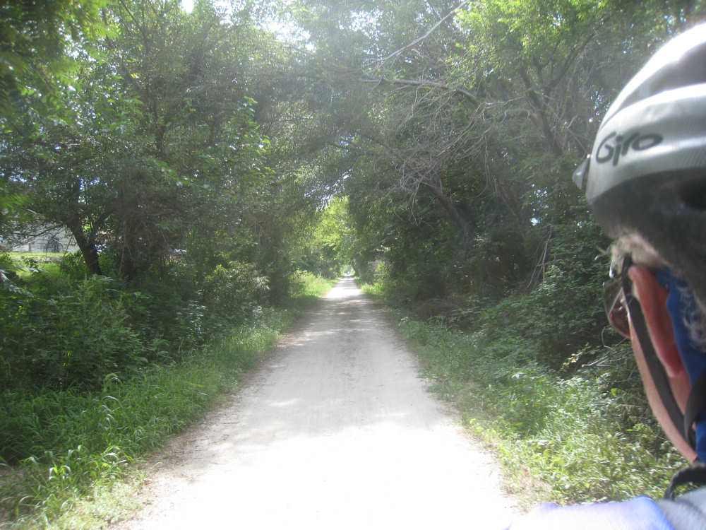
The path continues down the gravel Washburn Trace Nature Trail |

The Loess Hills still in sight as we get back on the county road |
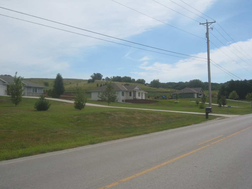
Houses at the foot of the hills near Council Bluffs |
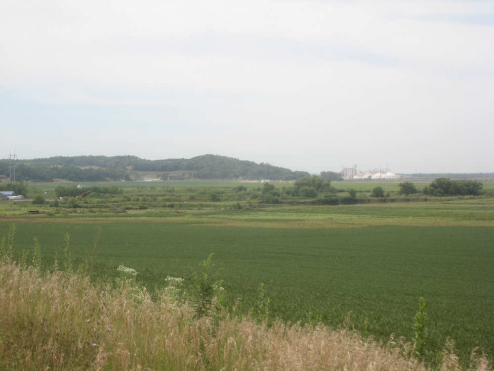
Looking back at Council Bluffs and a huge grain silo at the edge of town |
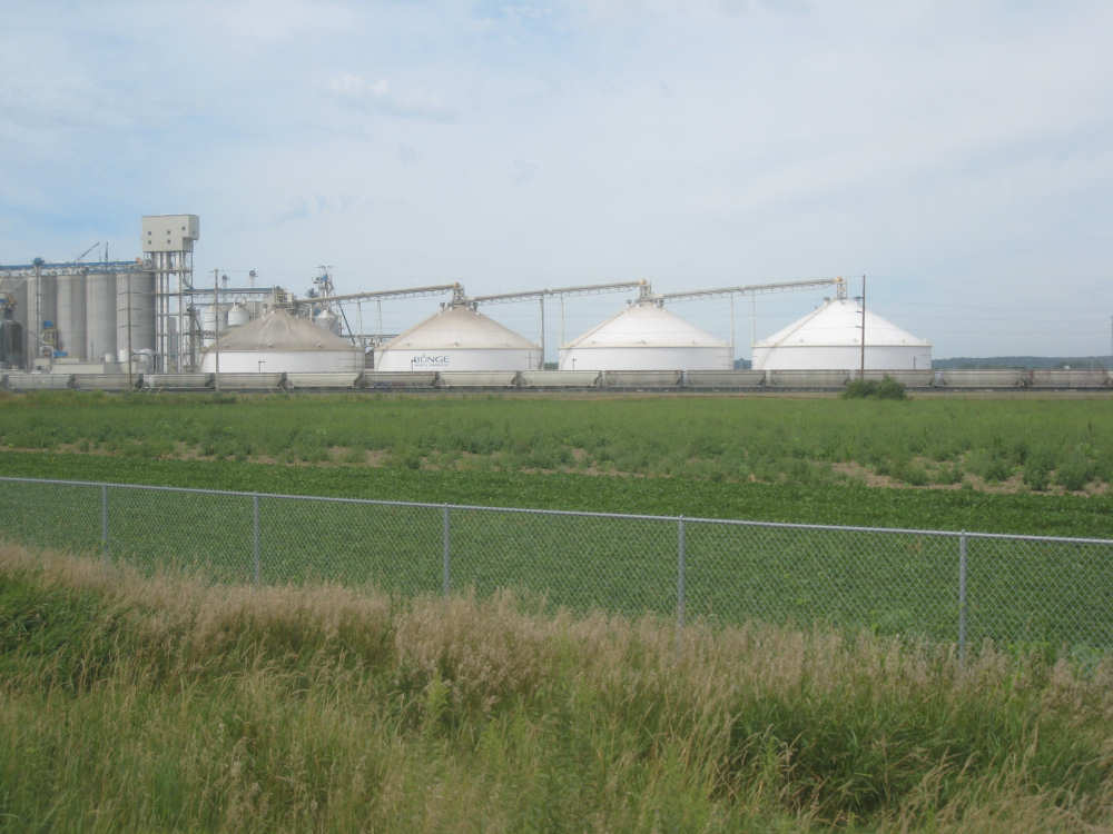
We go past the grain processing plant |
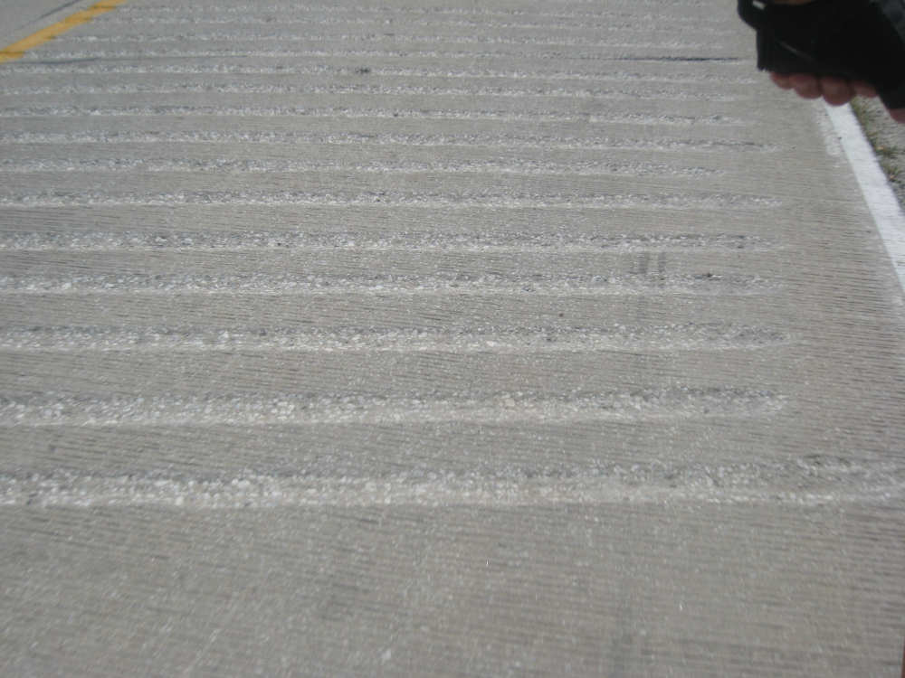
Iowa likes to put rumble strips across the road at major intersections |
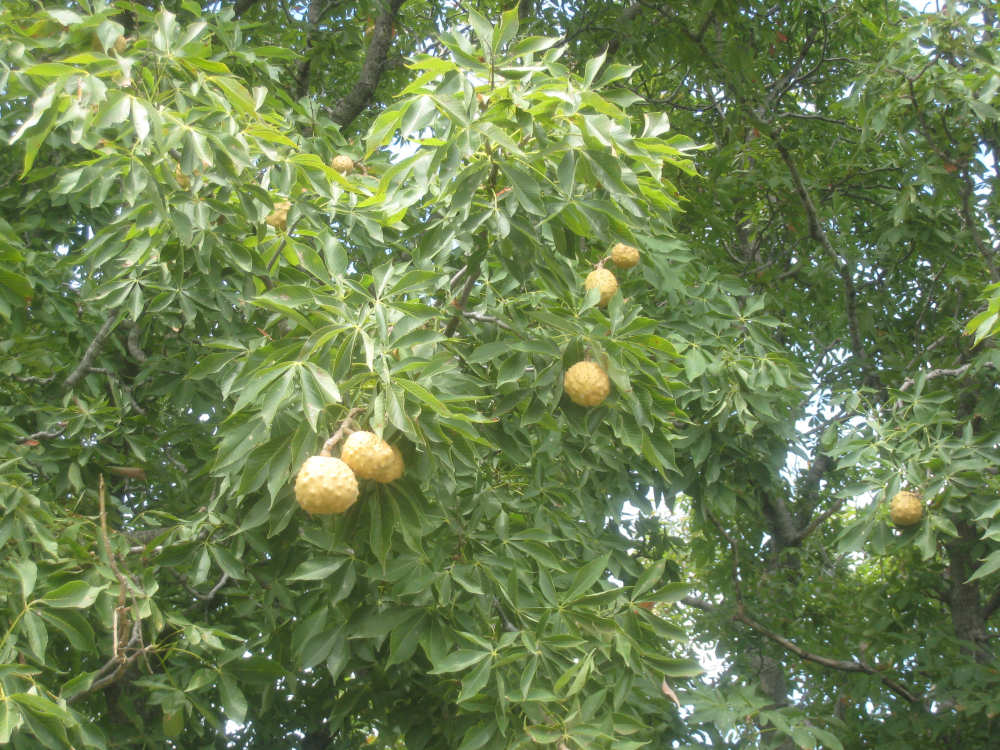
We couldn't tell what kind of fruit tree this was - anyone know? |
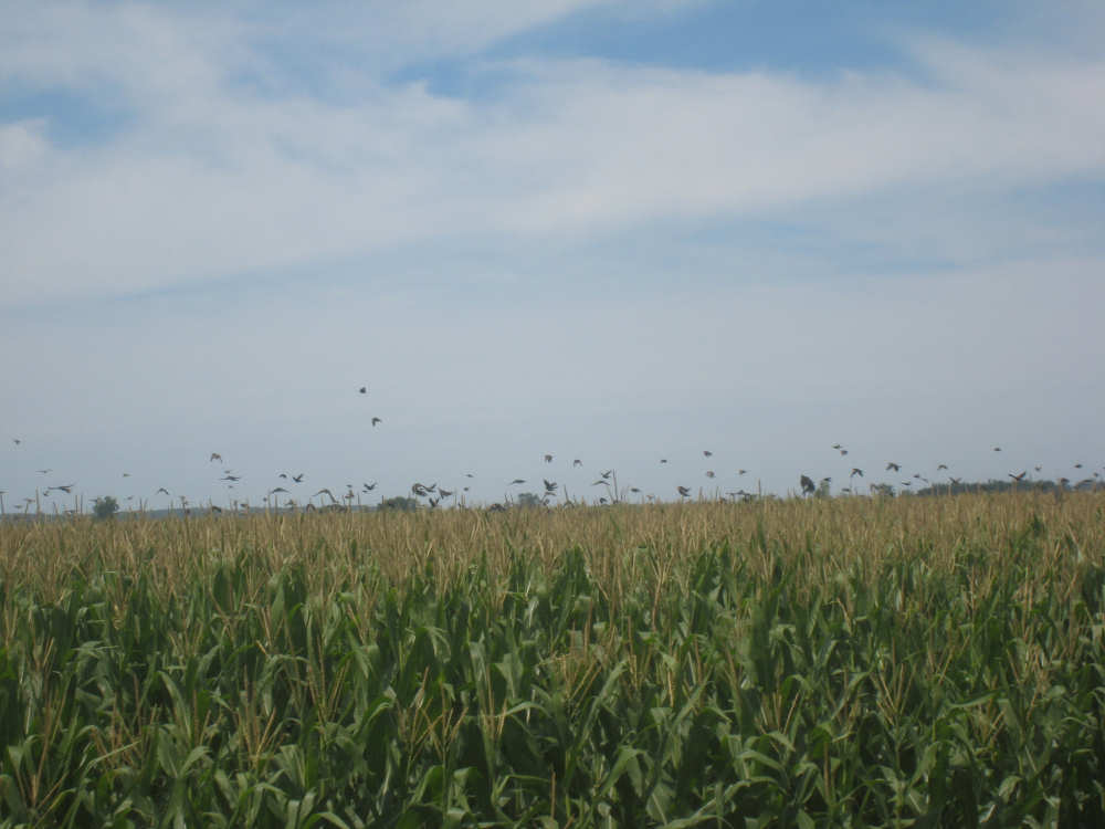
A gaggle of birds roosting in the corn takes flight as we pass by |
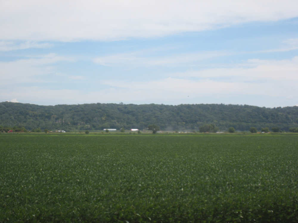
The Nebraska hills look close by, just past I-29 and the river |
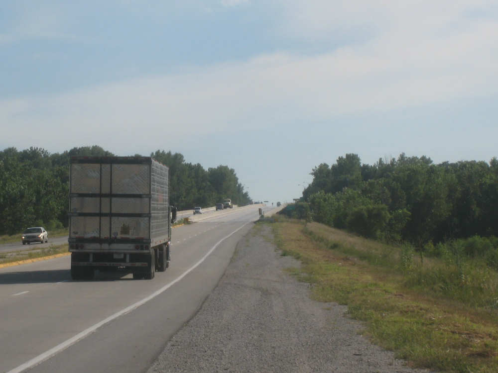
On L35 now, a little narrower and straight as an arrow |
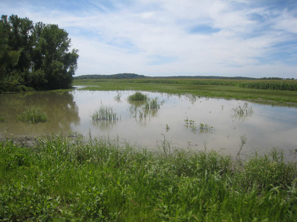
We're seeing more wetland areas now that we're closer to the Missouri |
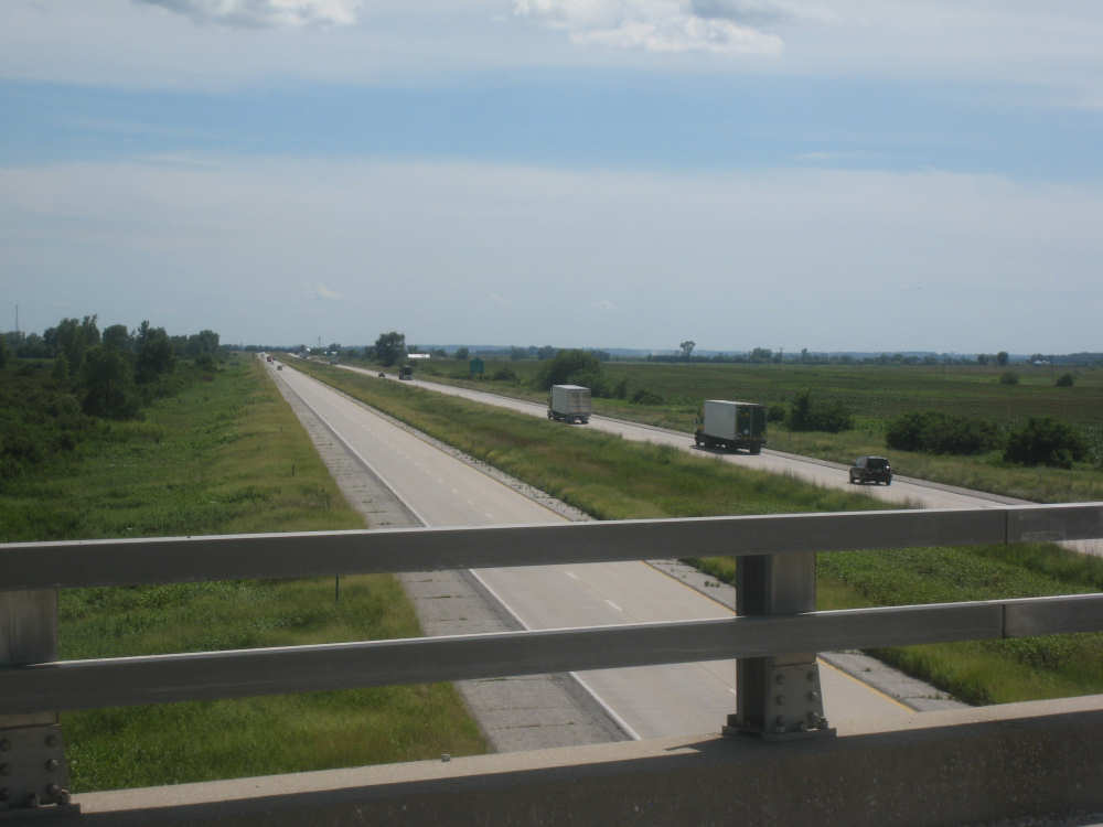
We crossed I-29 several times today |
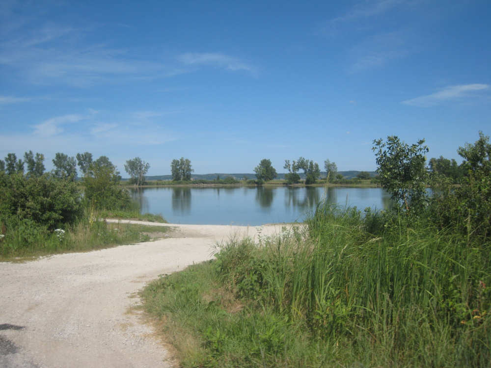
We think this is the lake the NJ transplant was fishing at today |

Another closed road - just what we need near the end of a long day |
Yep, it looks pretty closed all right |
They thought we could take the bike across this? |
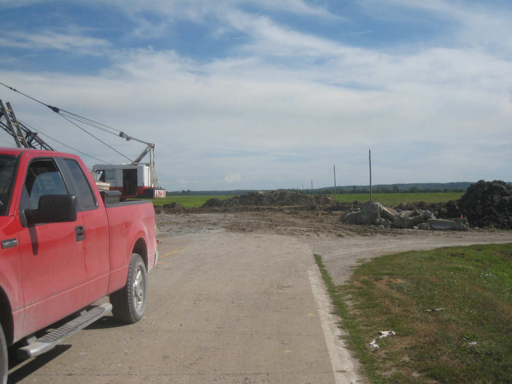
We detoured on the road to the right |
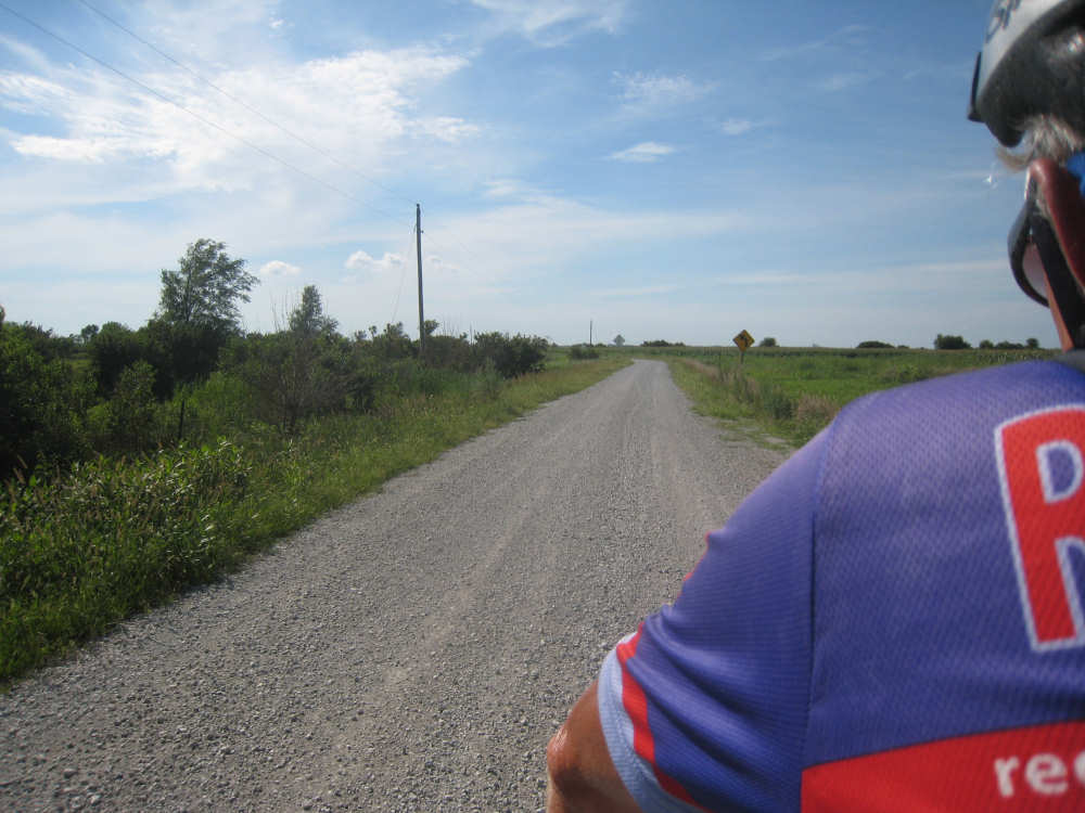
Gravel, but not too bad |
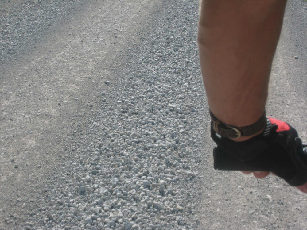
But Pat had to stay off the deeper parts |

The gravel was deeper farther along |
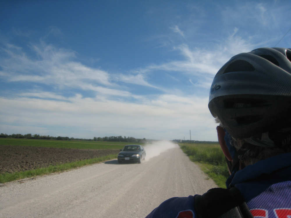
Passing cars kicked up a lot of dust |
Finally, we made it to Route 2 and the bridge over the Missouri |
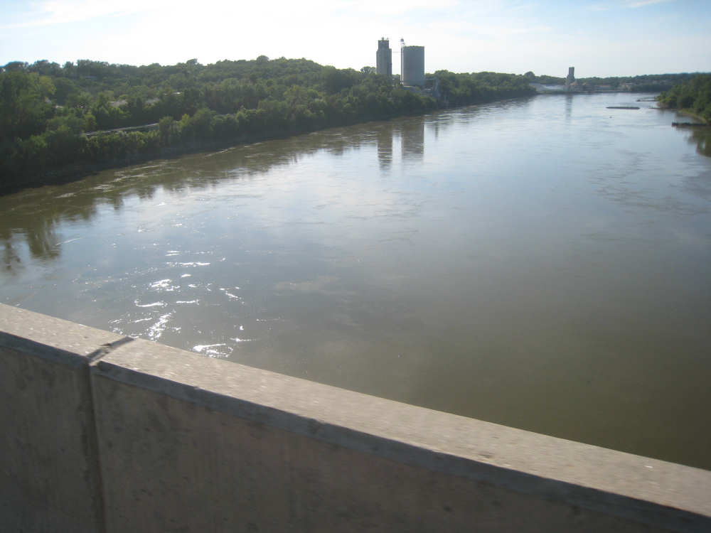
We could see why they call it the Big Muddy |
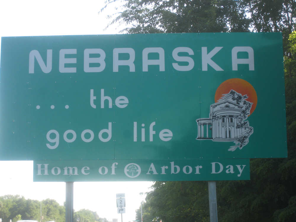
Our welcome to Nebraska |
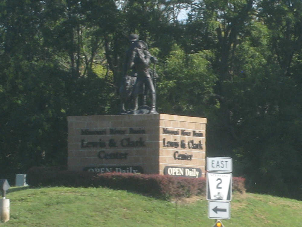
The entrance to the Missouri River Basin Lewis & Clark Center |