Wednesday, August 20, 2008
Boonville, MO to Jefferson City, MO
57 miles (7907 total miles)
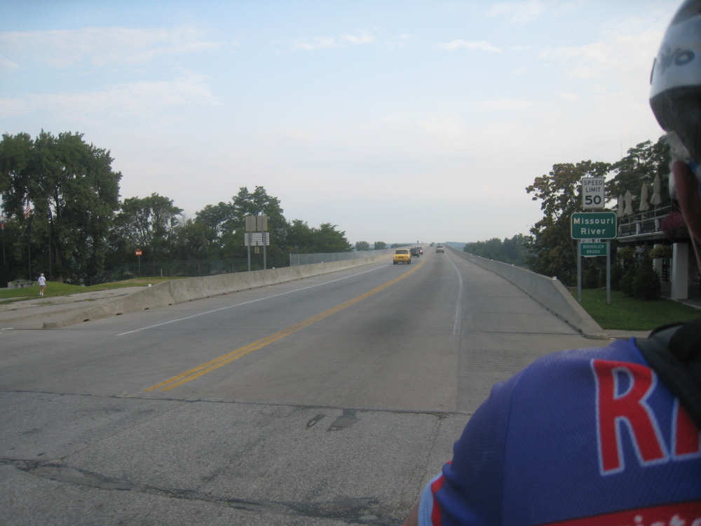
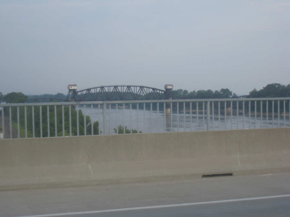
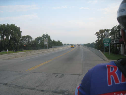
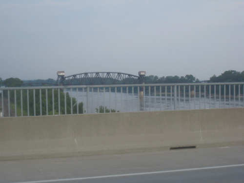
Well, today was hardly boring and we have a bumper crop of pictures for you. Most of them are Lewis & Clark historic markers - there were lots of them along the trail. But there were also plenty of interesting things about the Katy Trail itself. We left Boonville this morning at 7:30, having had the continental breakfast at the motel since they told us, correctly, that nothing in town opened until 10 or so. We went through rush hour traffic on narrow, no-shoulder roads for a few miles before reaching the bridge across the Missouri. Everyone was very considerate though, and we did our best to get off the road when large trucks or school buses wanted to get by (school is already in session out here!). The bridge itself, thankfully, had a wide shoulder and we turned off for the Katy Trail soon after that. The Katy Trail was easy to spot - there were tons of welcome signs and historic markers at the trailhead. The trail doesn't start there; it is about 265 miles all together and starts in Clinton, MO, more than 75 miles to the southwest. It's a rail-to-trail converted from the Missouri-Kansas-Texas (MKT, or Katy for short) railroad line that ceased operating in the mid-1980's. We picked up the trail at about mile 190 at the Franklin Trailhead, as instructed by Adventure Cycling, but noticed that we could have picked it up in Boonville 4 or 5 miles sooner. As we went across the bridge, we saw an old railroad bridge a little to our left and wondered if the trail went over that bridge. At any rate, we got on the trail and found it to be both flat and relatively smooth (for an unpaved trail); it was lots smoother than the C&O Potomac River trail we were on almost 2 years ago, and even a little smoother than the Steamboat Trace Trail we were on in Iowa. We were very impressed at how well maintained it was, especially given how long and how prone to flooding it is. There were some rough spots and it was slower-going than a paved road, but overall was not as difficult as we thought it might be.
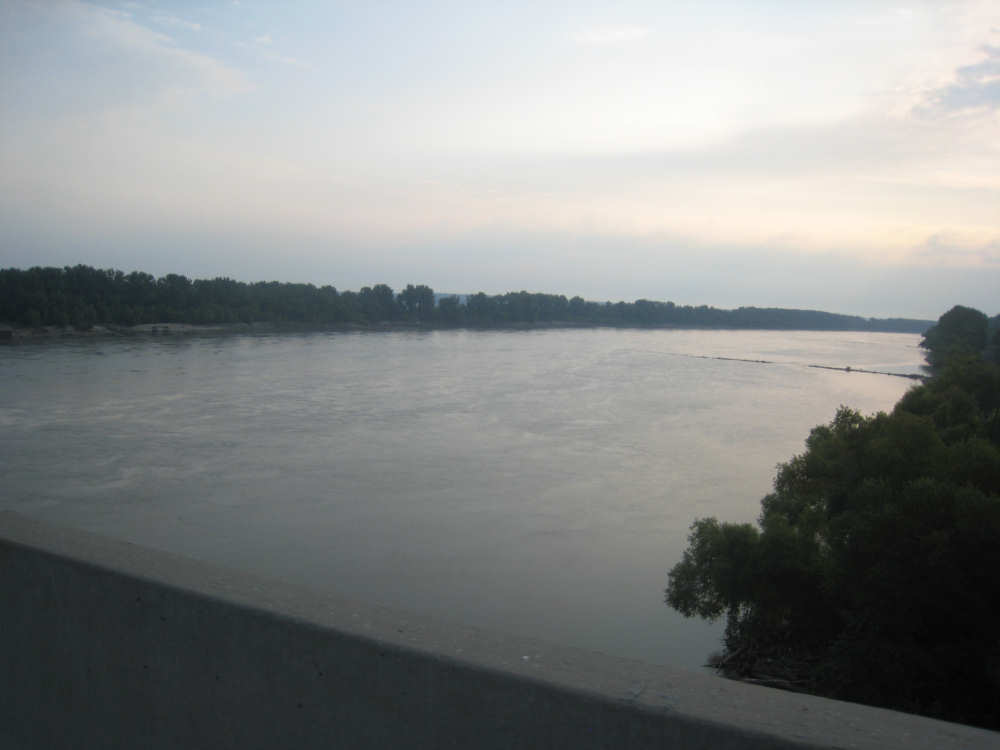
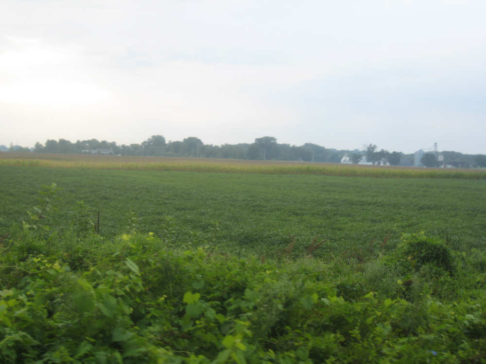
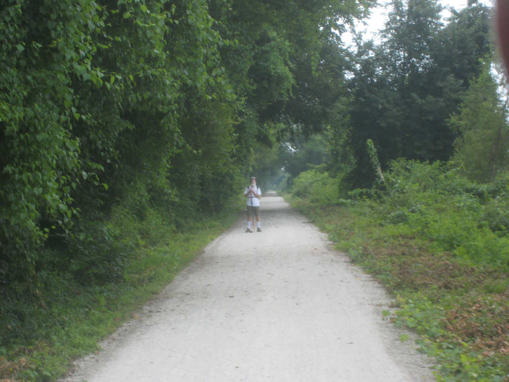
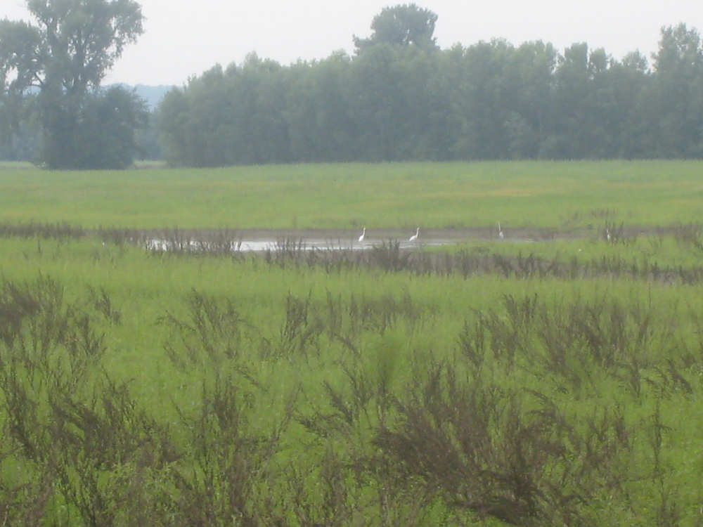
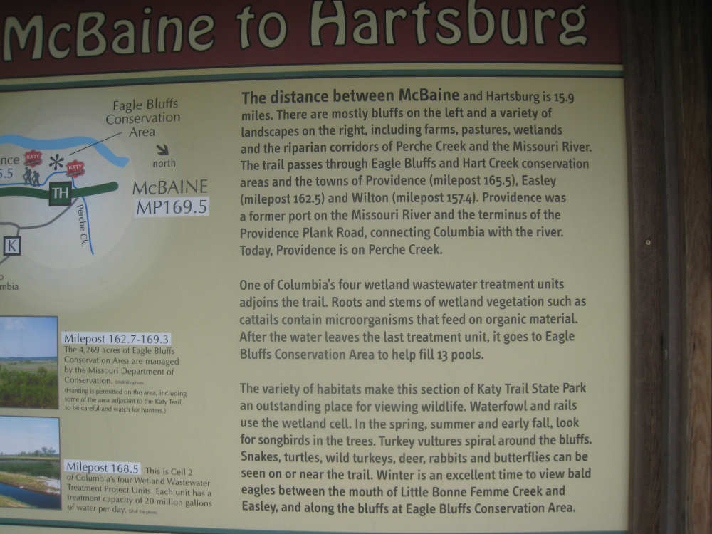
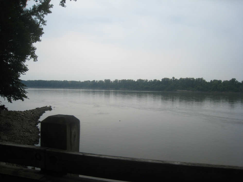
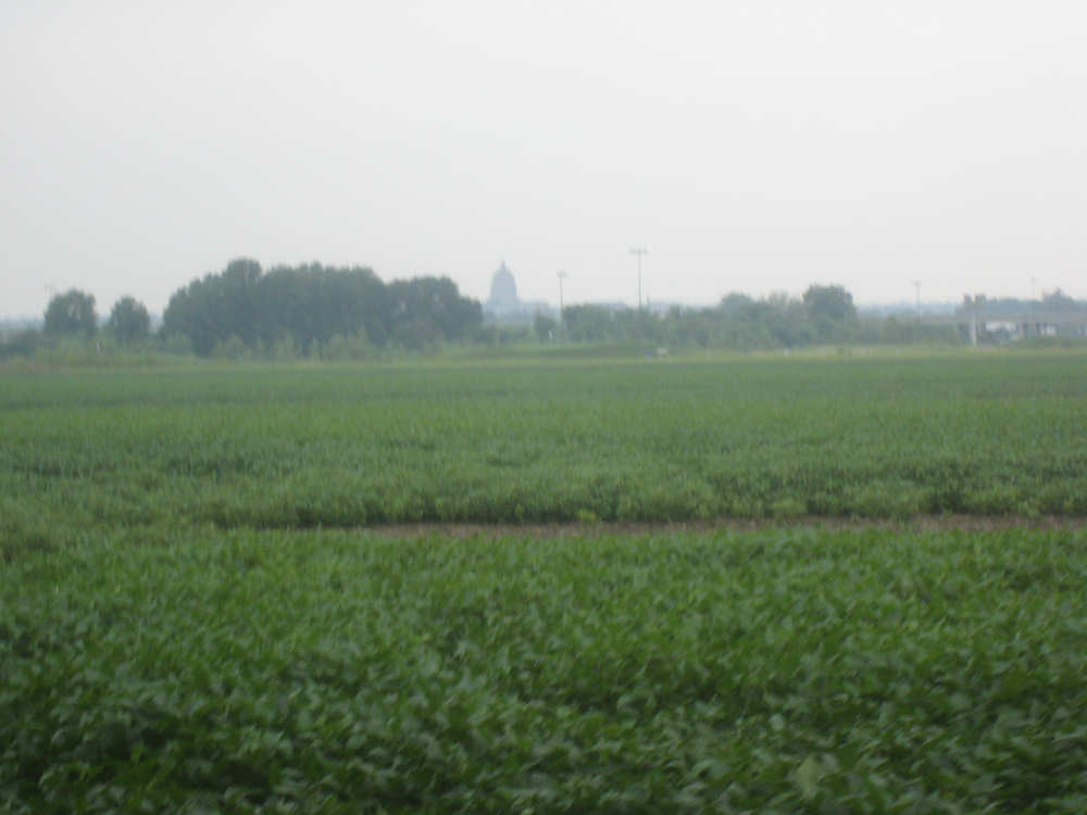
We started off with crop fields on either side of us and continued to see them intermittently through the day. The Missouri River was close by to our right, but it meandered in and out of sight. We were right next to it in a number of spots, and in others, we were next to marshy or bottomland areas that clearly got flooded by the river often. The mosquitoes were bad in those areas; they didn't bother us while we were riding, but as soon as we stopped for a rest or to take pictures, they were all over us, so we didn't stay in one place for long. To our left, there were the Missouri hills we're so fond of. Like the river, they were sometimes very close and sometimes in the distance with farms or towns between the hills and the trail. Much of the time that they were up close, they had impressive cliffs, with interesting caves and other formations. There was one short tunnel on the trail, which we went through. There were also several towns along the trail, some of them with train stops converted to information booths. Unfortunately, most of the restaurants or cafes in the towns we went through today were closed for one reason or another. We did find a good diner in McBaine where we had lunch but weren't able to stop anywhere else for a soda or snack - most disappointing. The trail has mile markers and has an Adopt-a-Trail system where donors can support the trail by "adopting" a mile of it. There were also several benches along the trail, each of them donated in memory of someone.
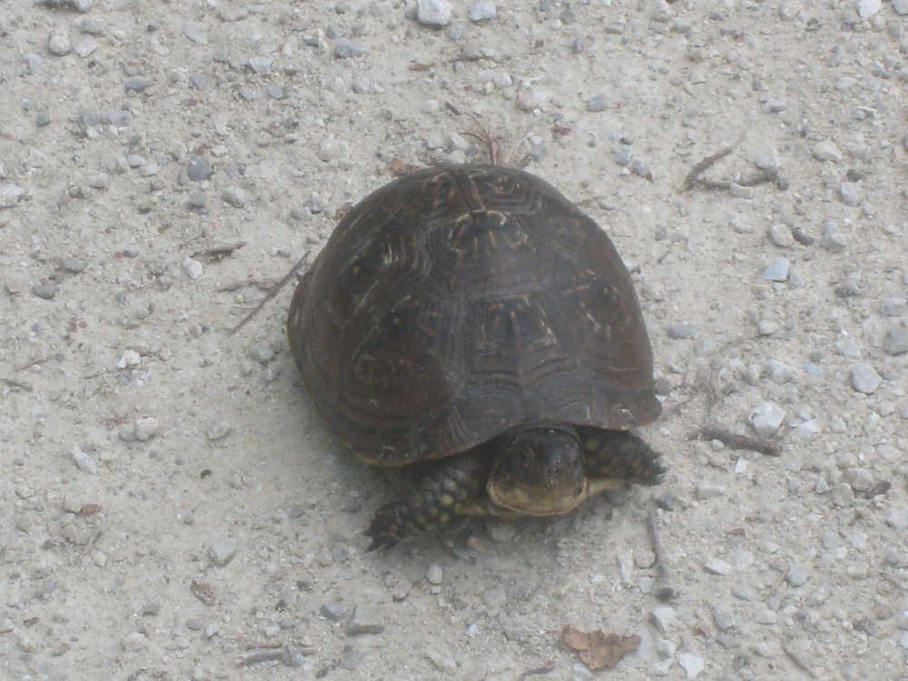
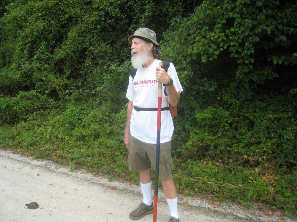
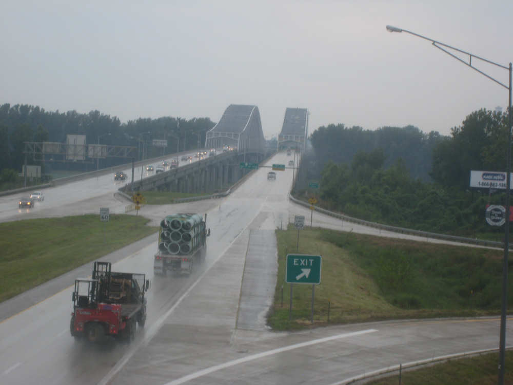
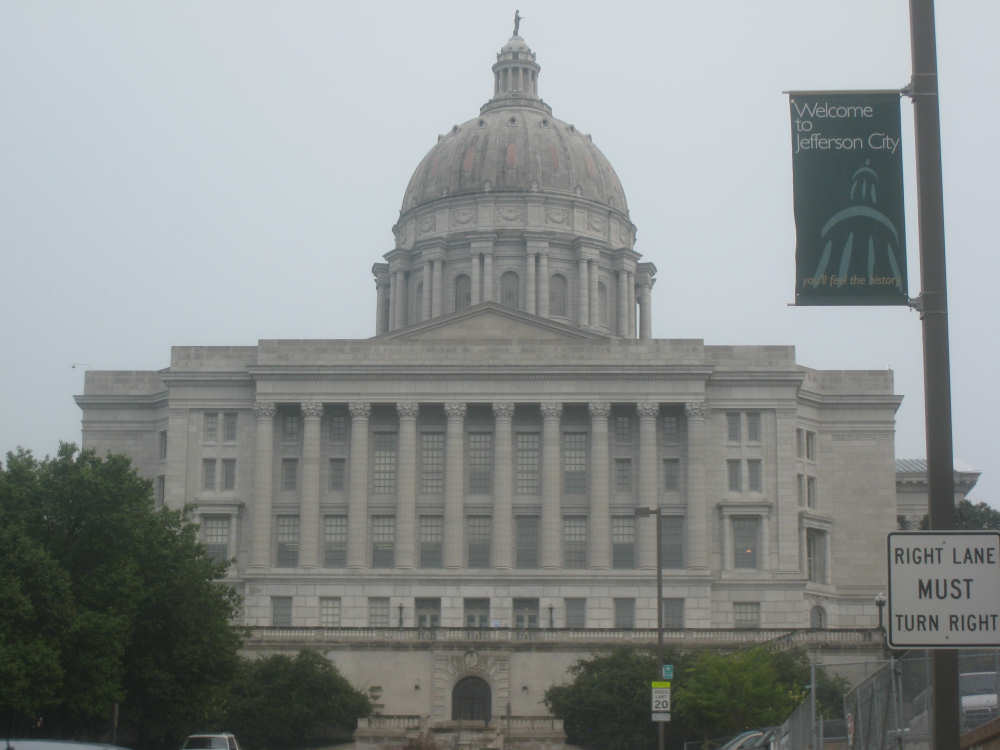
The trail is well-used by Missourians. We saw several other bikes, some solo, some couples, and some families. There were also a few walkers; the first fellow we saw on the trail was John Hutch from Kansas City. He was standing by a small box turtle as we approached, to make sure we didn't run into it. We stopped to chat with him for a while. Most of the people we spoke to were from various towns in Missouri and were doing day trips on a part of the trail. We didn't see any other long-distance cyclists on the trail. NOAA had predicted rain this afternoon and, sure enough, it started to sprinkle when we still had about 10 miles to go on the trail. We got off the trail at the North Jefferson trailhead and had to wend our way over to Interstate 54 to get on the bridge into Jefferson City. The interstate is a divided highway with separate bridges in and out of the city. We had to get on the east-bound bridge going the wrong way; it was the only side with a shoulder that bikes were allowed on. Jefferson City is the capital of Missouri and we could see the capital dome well before we got on the interstate. As we came into the city, though, we went right by it, so we got an even better look.
We really splurged tonight and stayed at the Doubletree near the Capital Building. It was very elegant and very welcoming, even to two bedraggled-looking bicyclists. They gave us 2 delicious chocolate chip cookies (Ghiardelli chocolate!), fresh from the oven, as a check-in treat. We got some laundry done and had a wonderful meal in their restaurant. Then we had to get to work sorting through all our pictures and getting the web page up. We're a little concerned about the effect the rain will have on the trail. It didn't rain much today, but it's expected to continue for the next 2-3 days, so we could have a pretty muddy path. Today, we went just under 57 miles (about 47 on the trail) in 5-3/4 bike hours, arriving at our hotel at 3:50. Tomorrow should be a little bit shorter but may be tougher because of the rain.
The bridge over the Missouri from Boonville
|
The old railroad bridge to our left
|

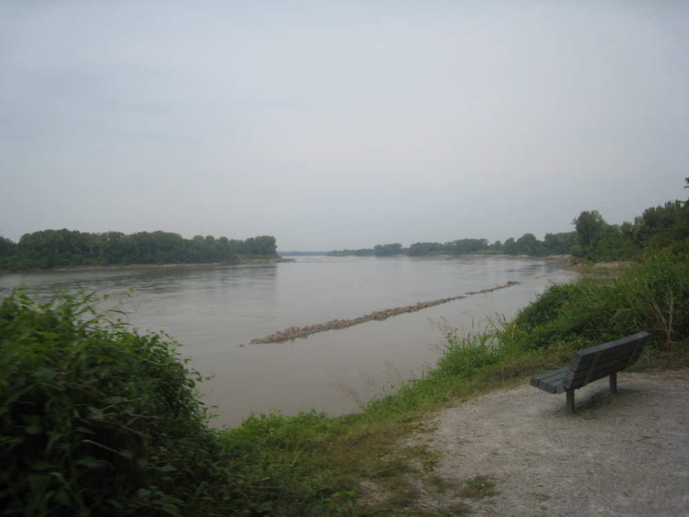
The Missouri, looking pretty wide here
|
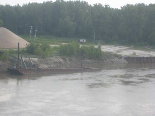
An old barge at the bank of the river
|

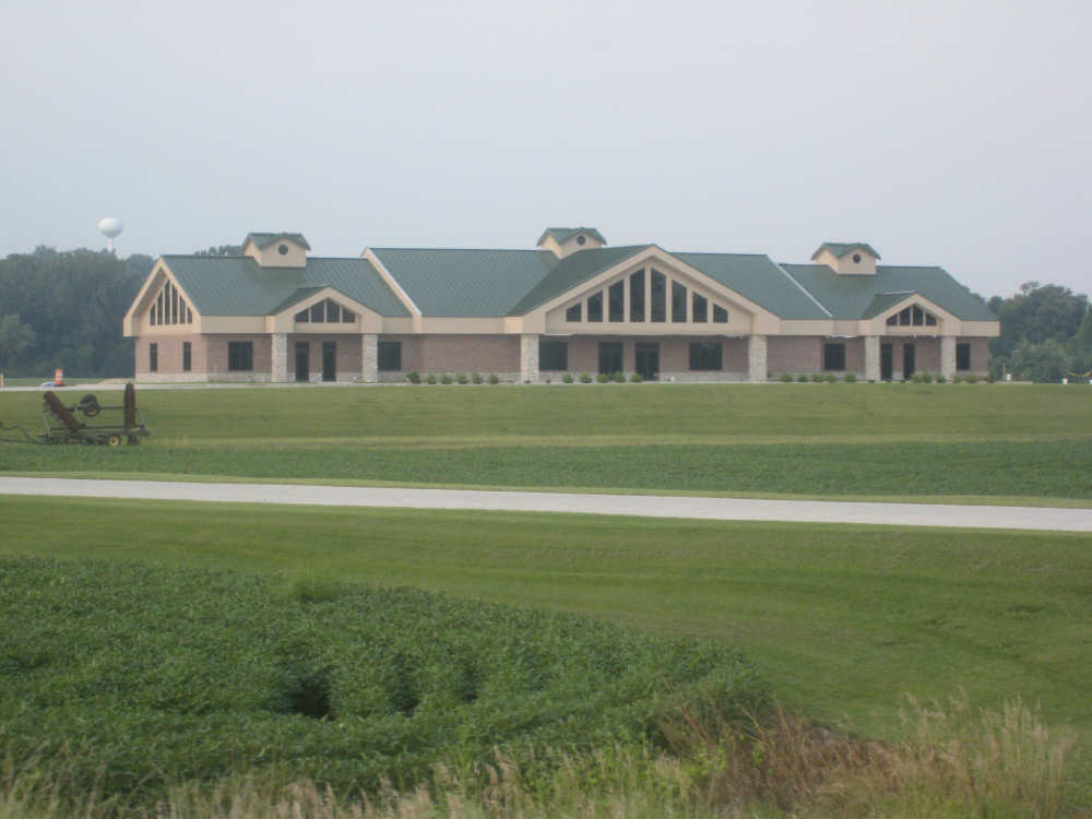
A not-quite-finished park building across from the trailhead
|
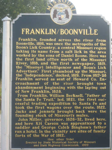
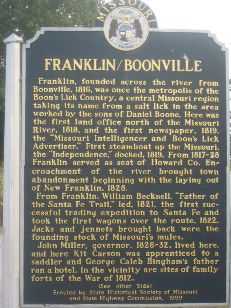
A double-sided historic marker at the trailhead
|
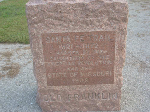
A Santa Fe Trail marker, like the one we saw in Arrow Rock
|

A plaque from the old Boonville railroad bridge
|
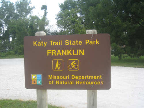
And, of course, the Katy trailhead marker itself
|

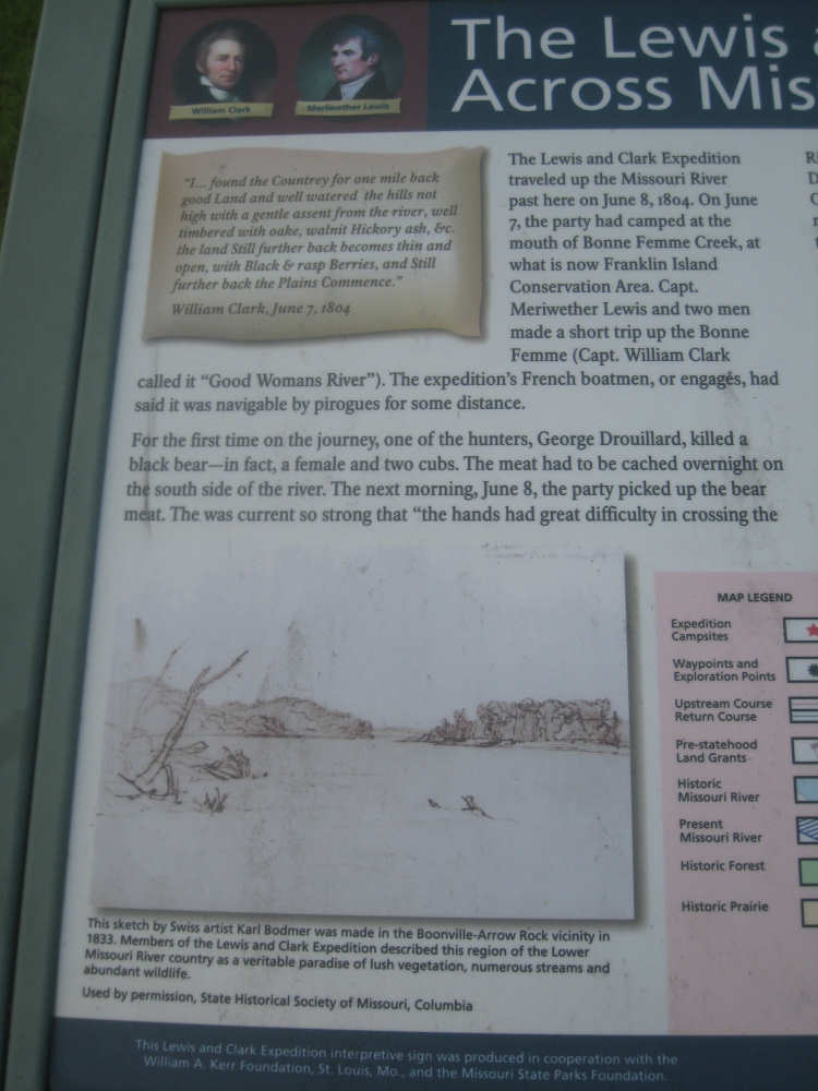
Besides all that, there was a Lewis & Clark marker at the trailhead...
|
talking about their travels here in early June, 1804
|

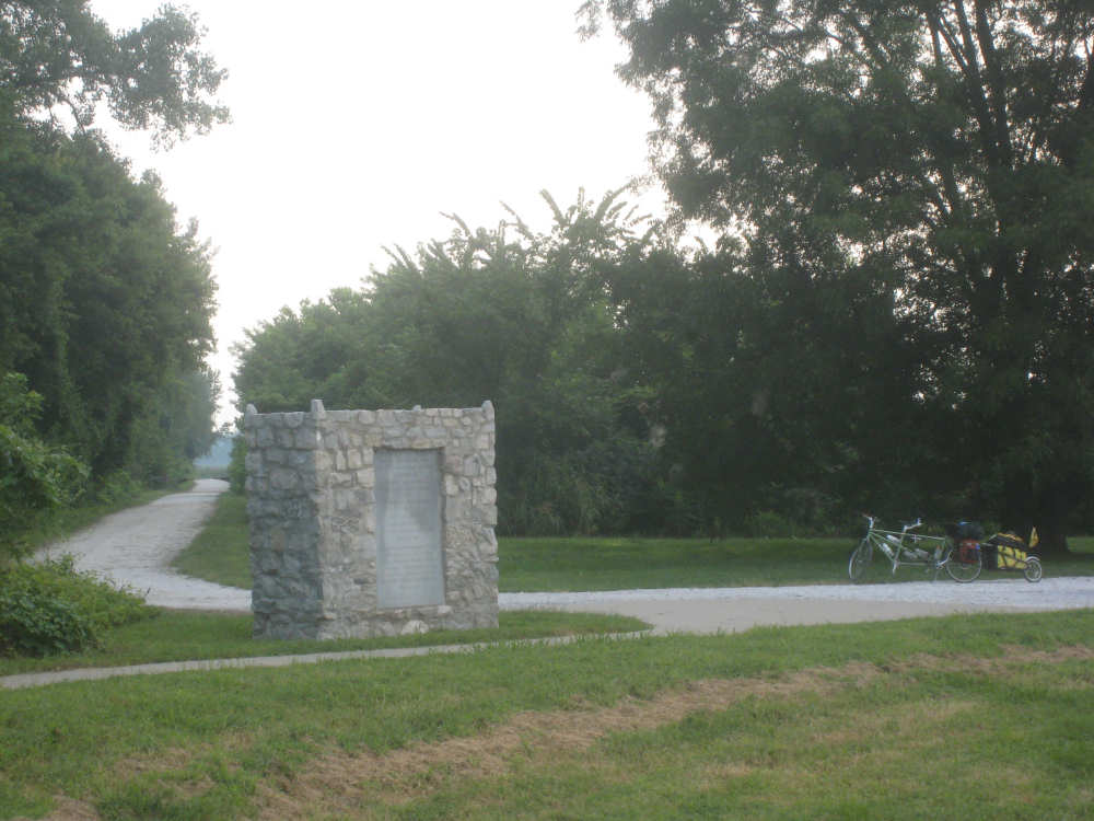
Behind a monument to the local newspaper building from 1819, our trail begins
|

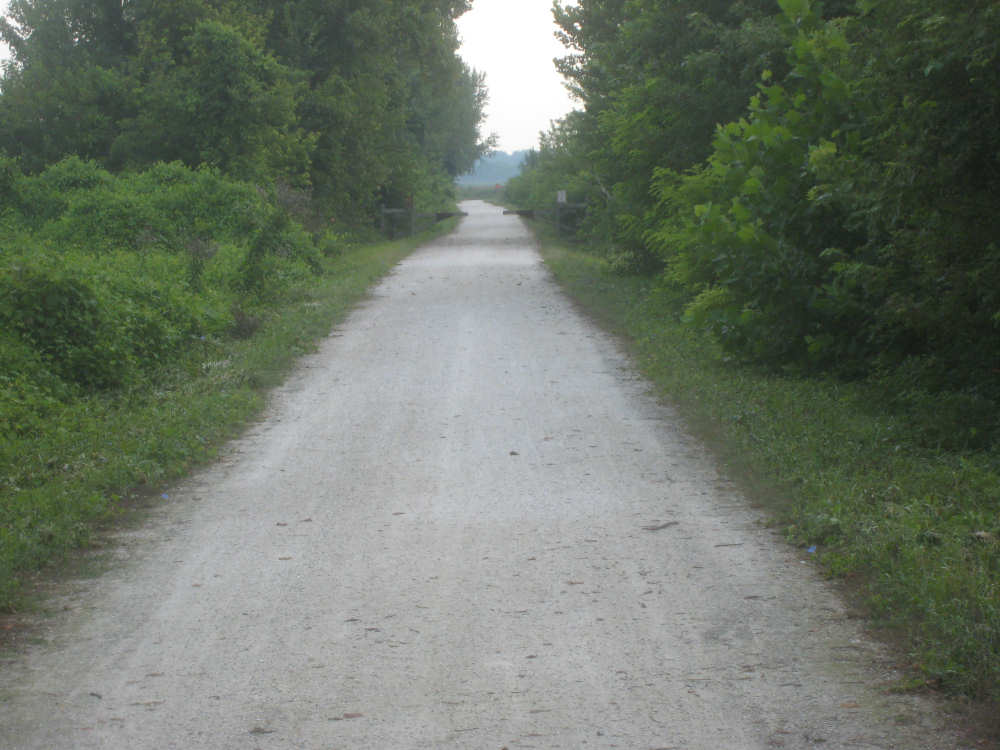
Our first view of the trail
|

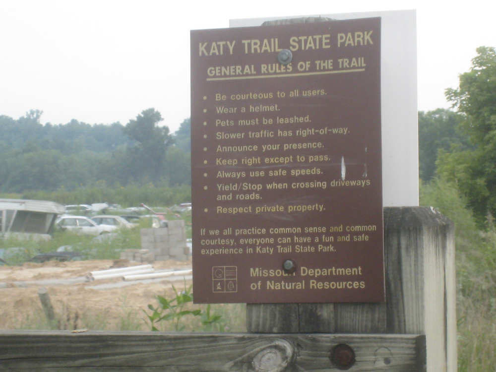
The rules and regulations...
|

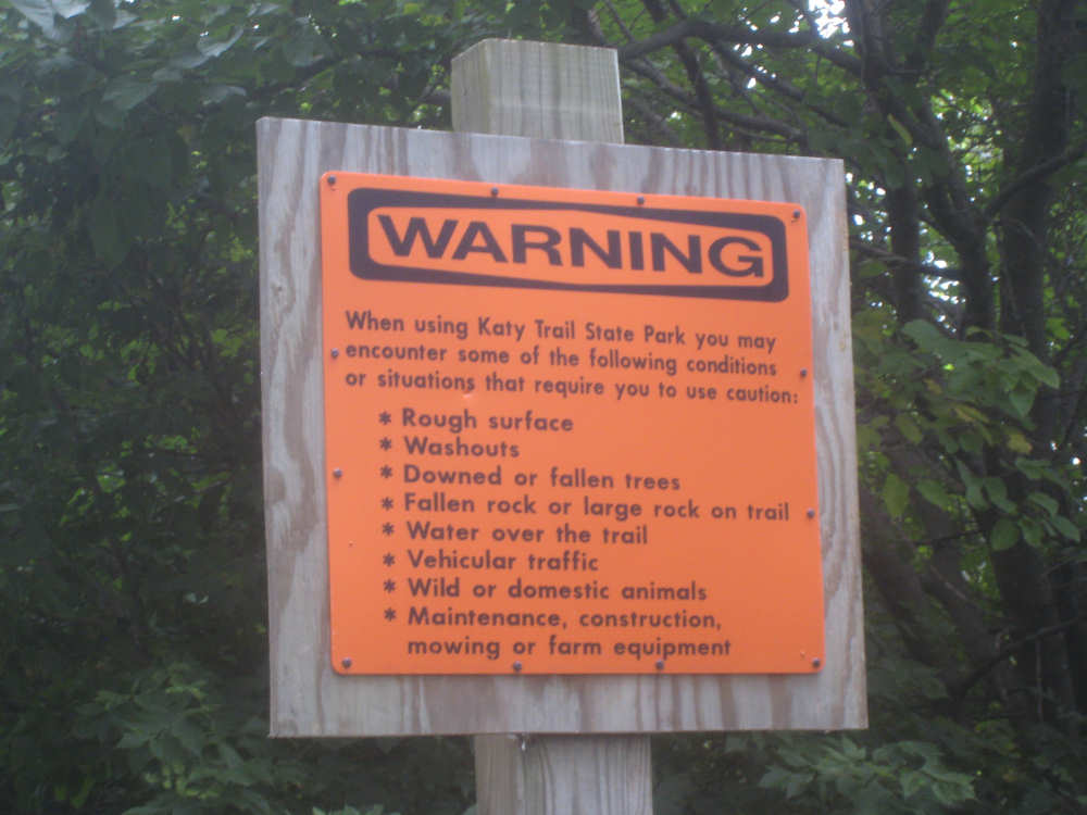
and a warning about the problems we might run into
|
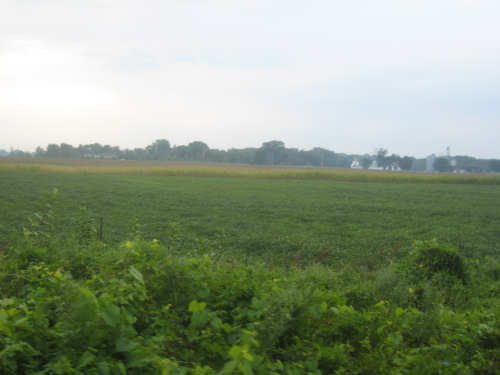
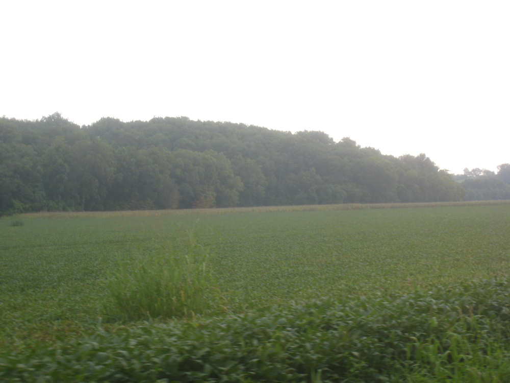
Crop fields to our right
|

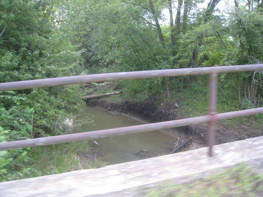
One of many creeks we'll go over
|

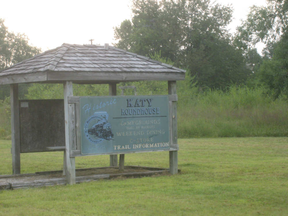
A sign for a historic railroad roundhouse and campgrounds
|

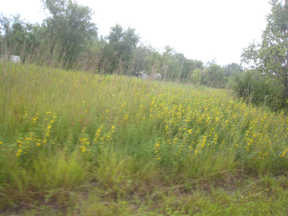
We saw several wildflowers along the trail
|

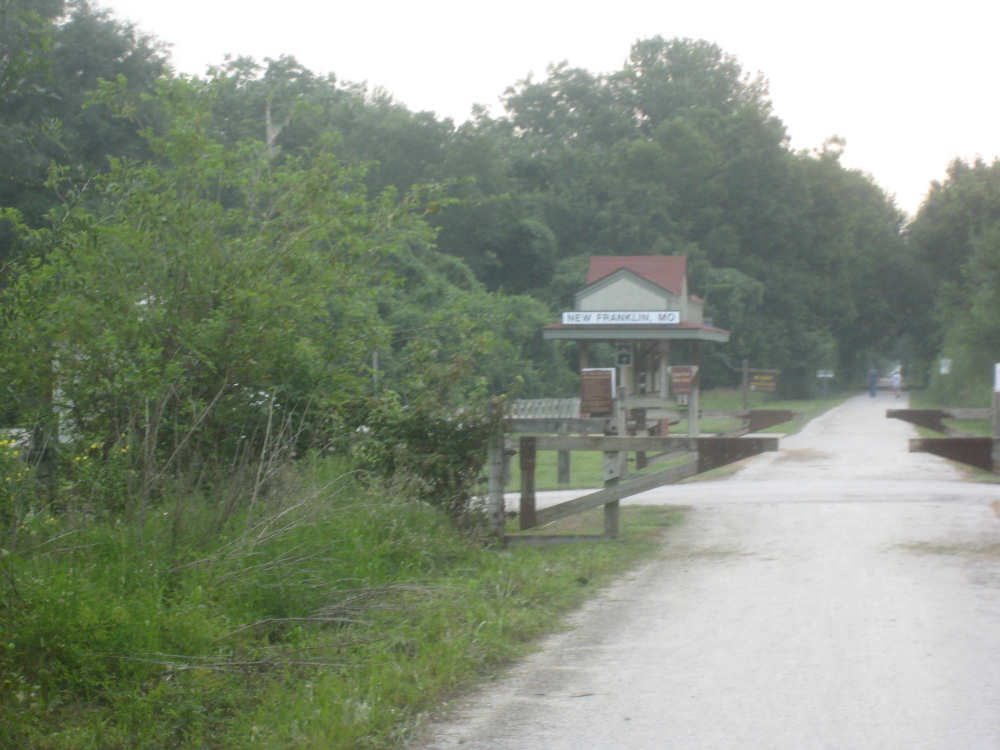
Our first 'train station' - New Franklin
|
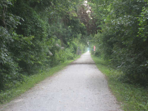
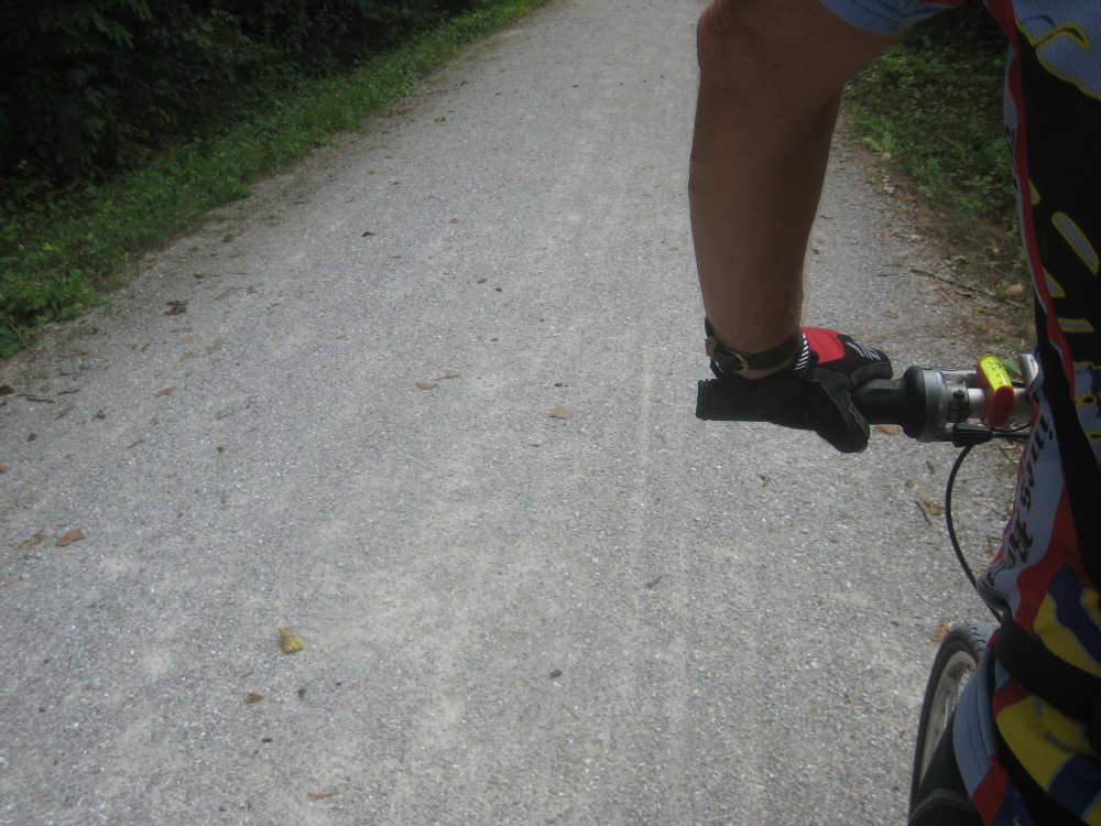
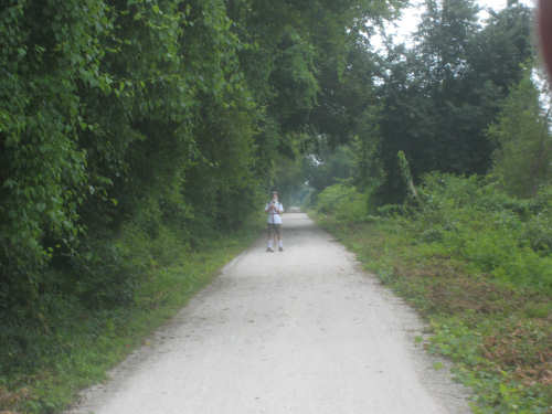
Another road shot...
|
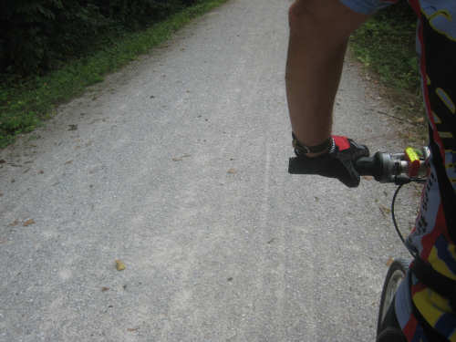
and a close-up of the surface
|

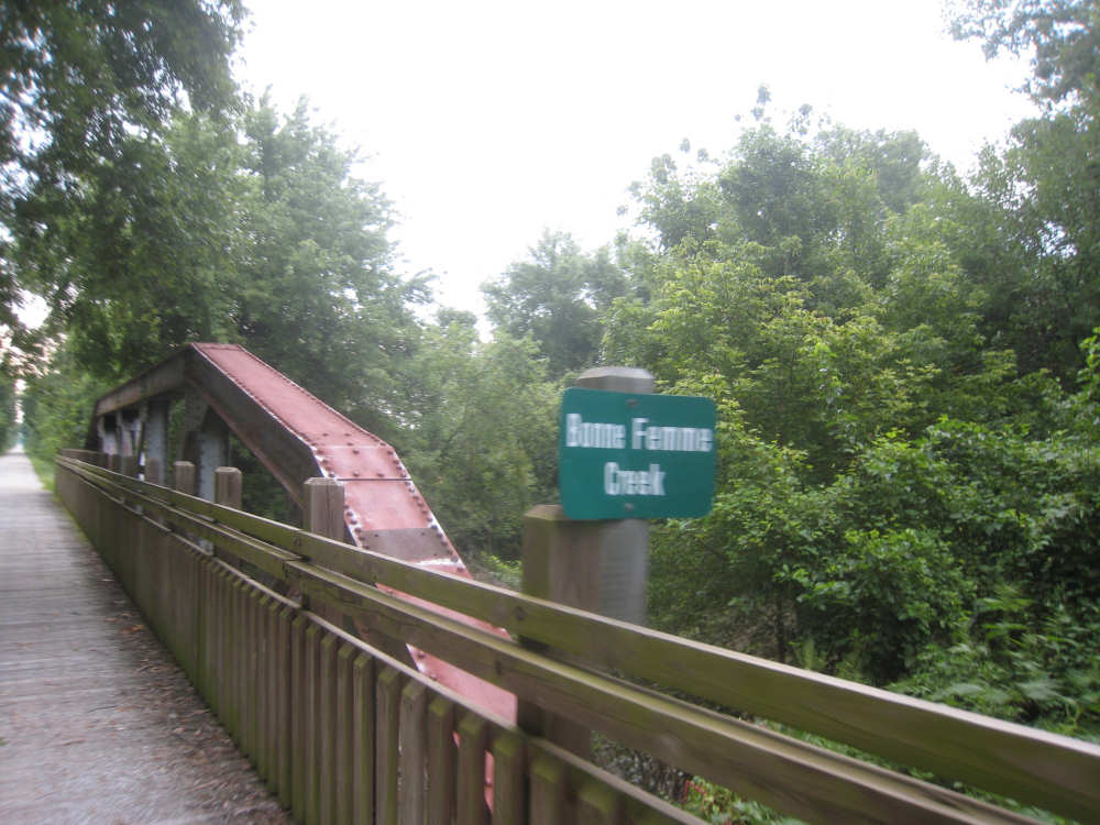
The bridge over the Bonne Femme Creek, with part of the old railroad bridge
|
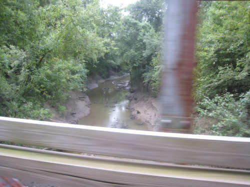
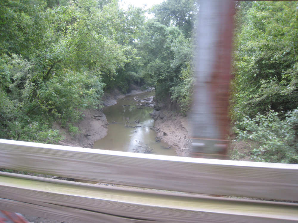
The Bonne Femme Creek
|

More crops to our right
|
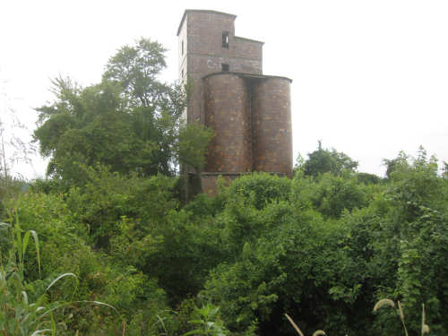
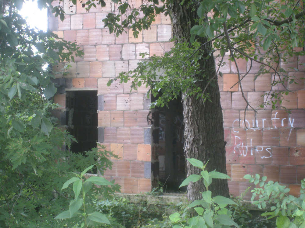
An old grain silo...
|

made from ceramic tiles fashioned like concrete blocks
|
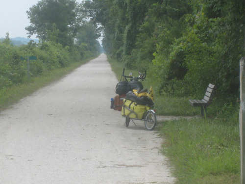
Our bike waits patiently in front of a bench
|
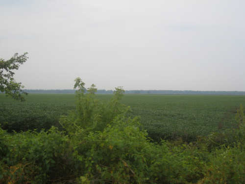
More crop fields between us and the Missouri
|
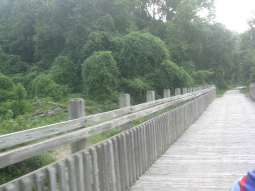
Another wooden bridge across a creek
|
We see John Hutch standing on the trail
|

The little turtle he was protecting
|

John chats with us a while
|
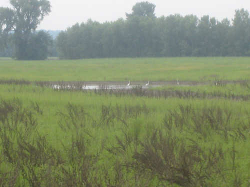
Egrets at a nearby pond
|
Another wetland area
|

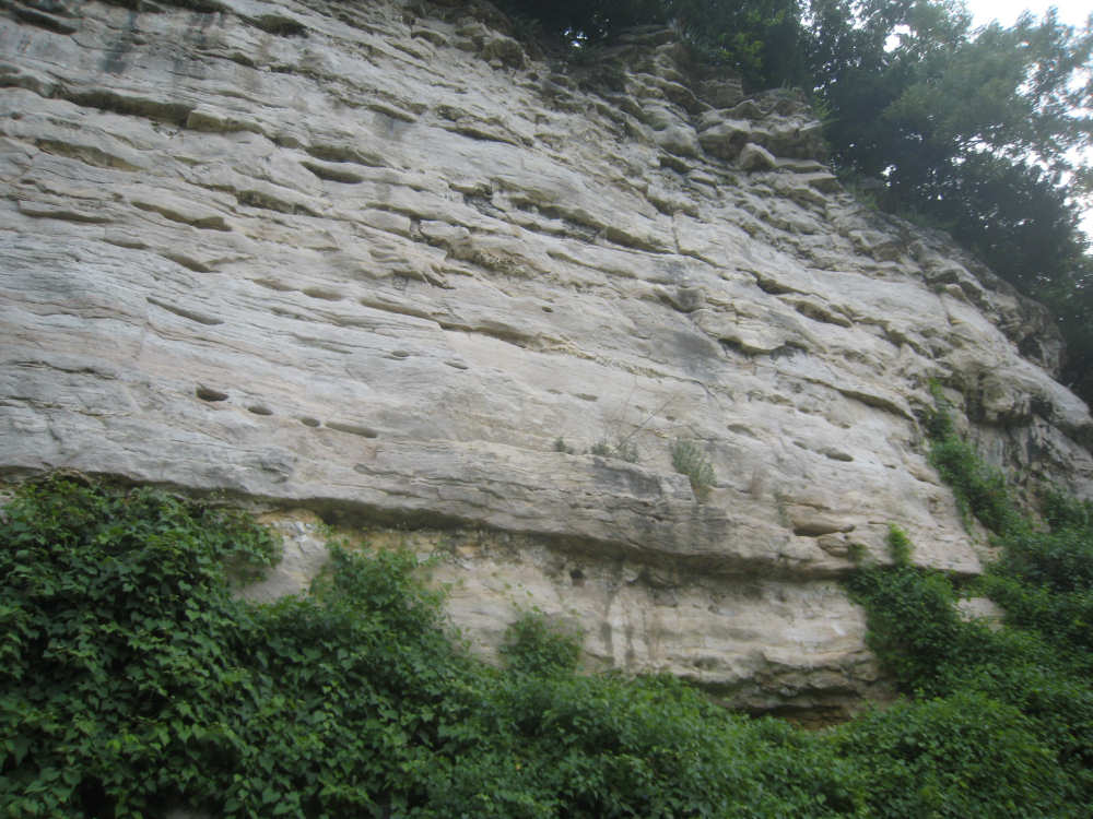
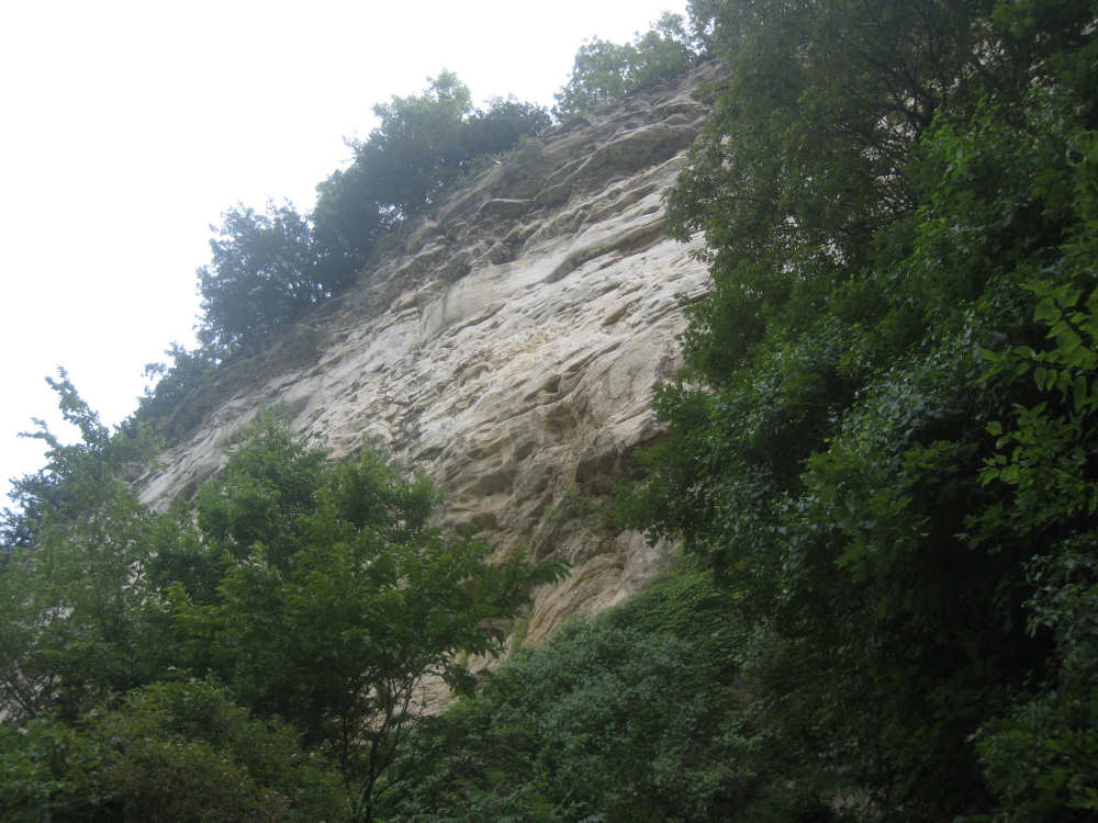
Some of the amazing cliffs to our left
|
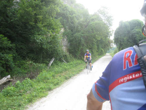
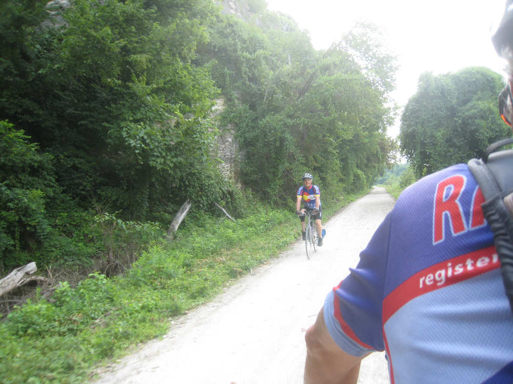
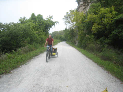
One of the bikers we passed
|
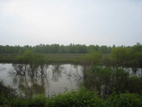
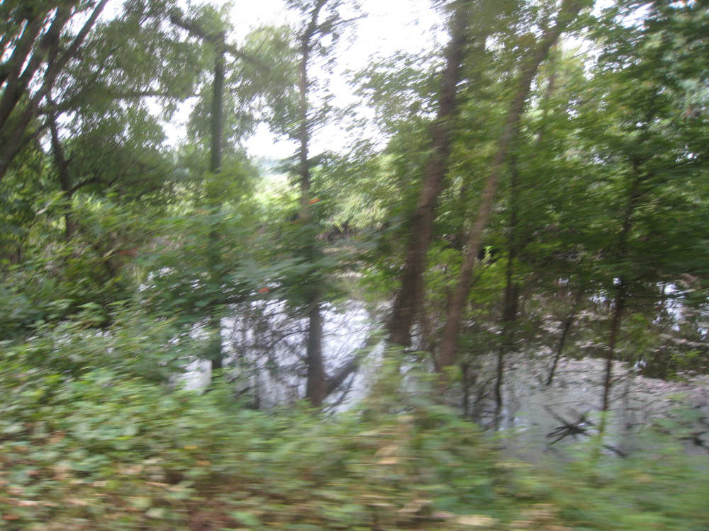
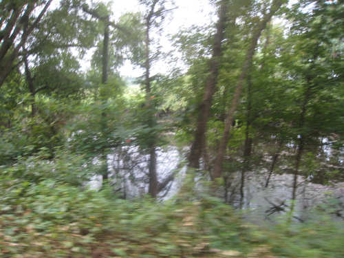
Another area under water between us and the river
|
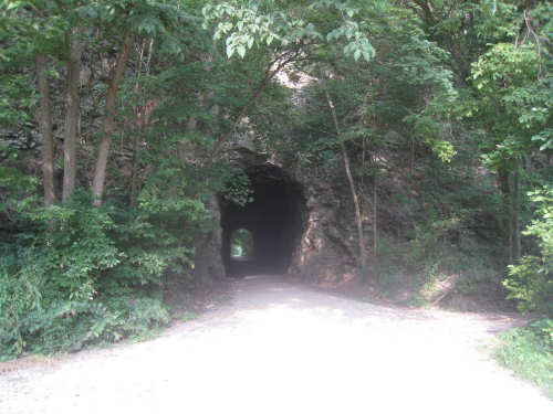
The MKT tunnel
|
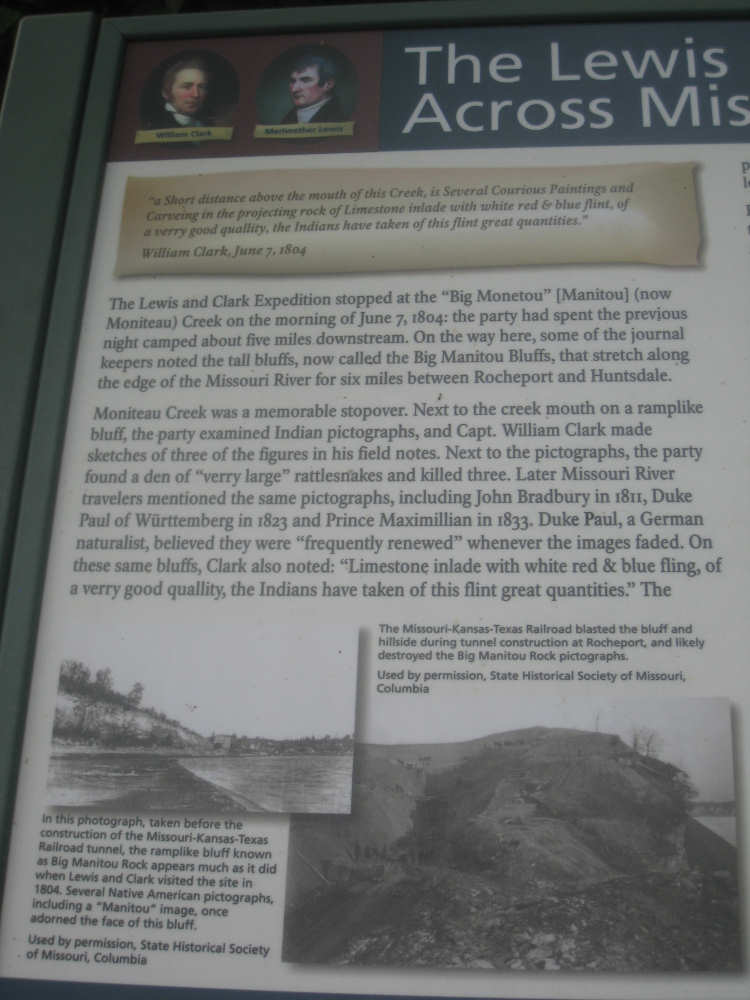
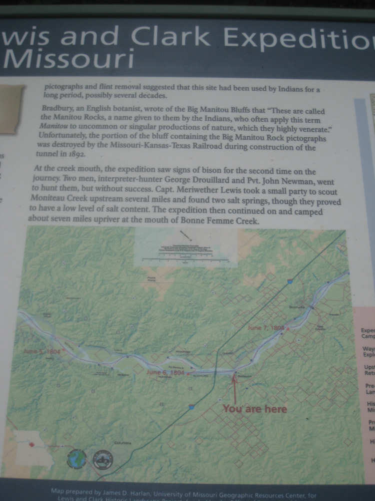
Lewis & Clark marker about the Moniteau Creek and the large bluffs here...
|
including some Indian pictographs
|
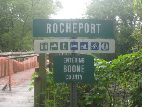
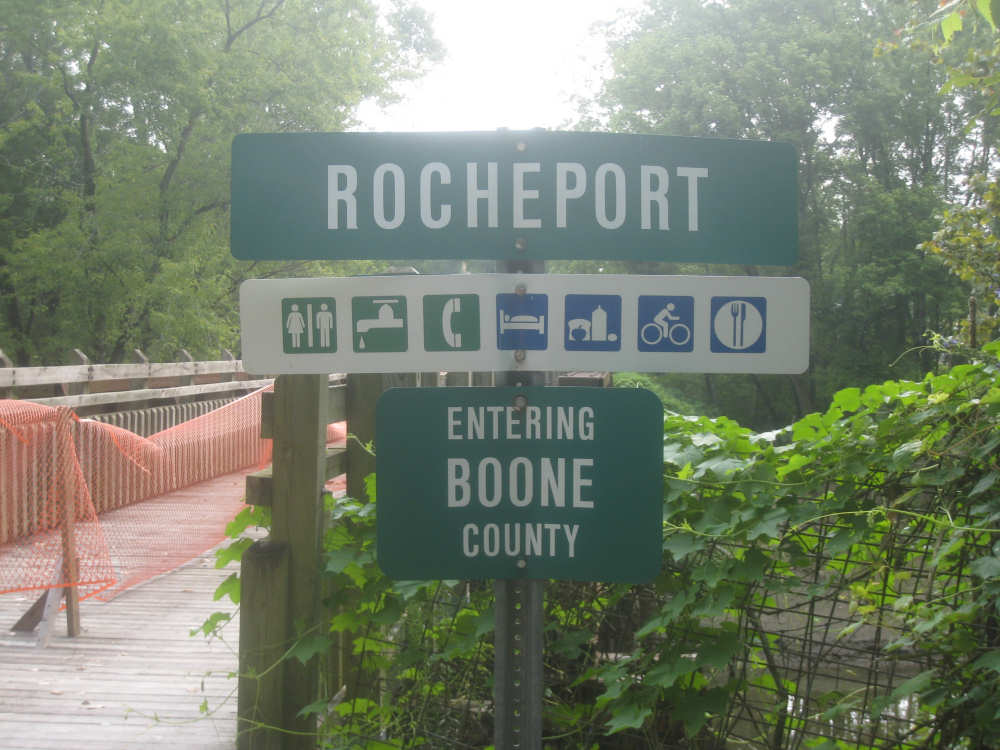
Sign for the next town coming up and a list of its services
|

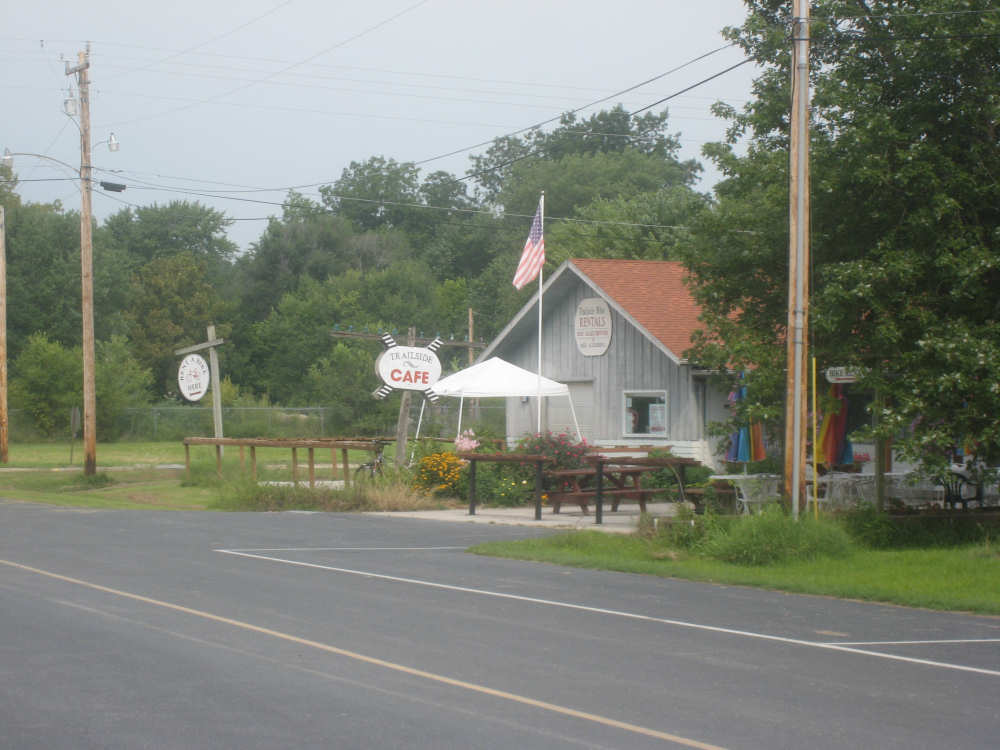
The cafe in Rocheport was closed on Wednesdays
|
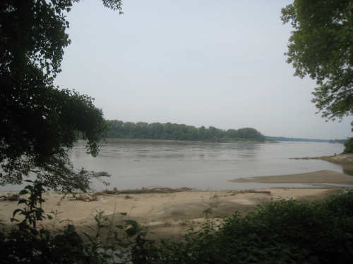
The Missouri River is right next to the trail here
|
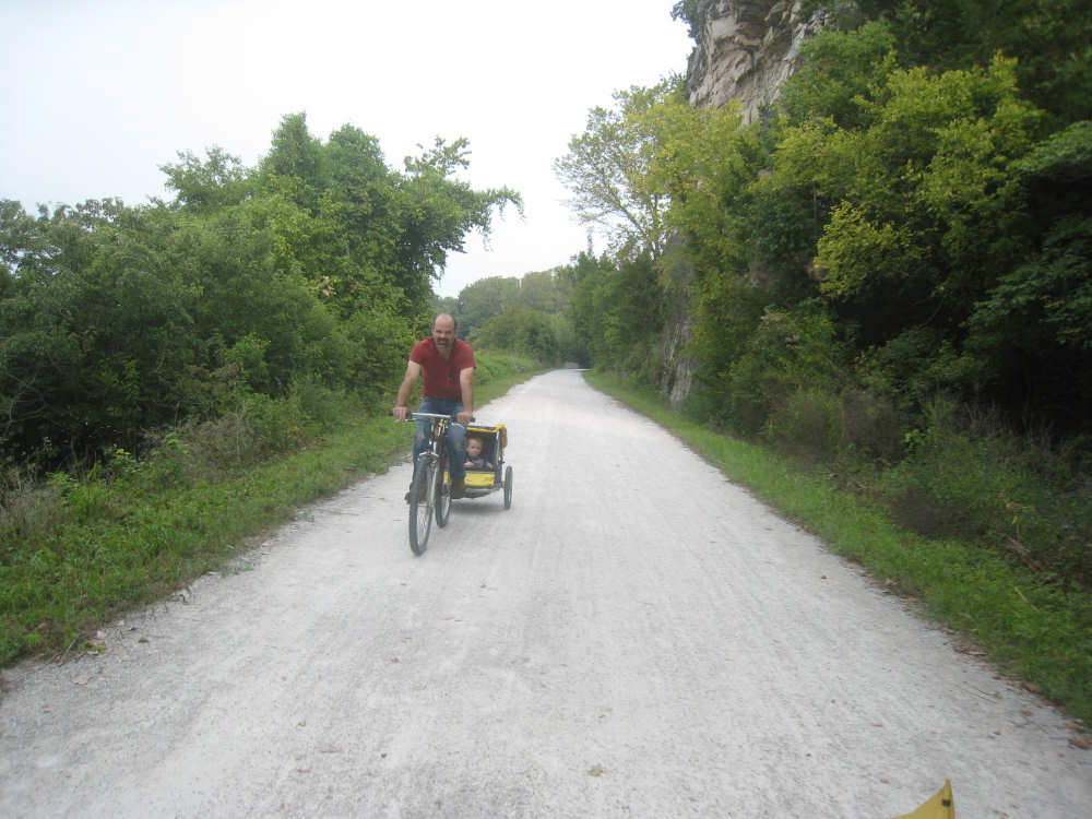
We pass a dad with 2 kids in tow (one of them was urging him to 'go faster'!)
|
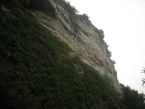
More of the cliffs/bluffs to our left
|
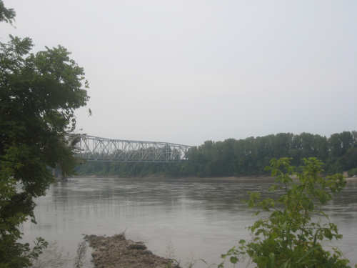
A bridge over the river
|
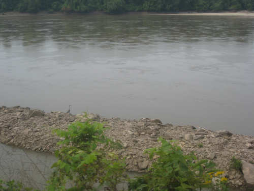
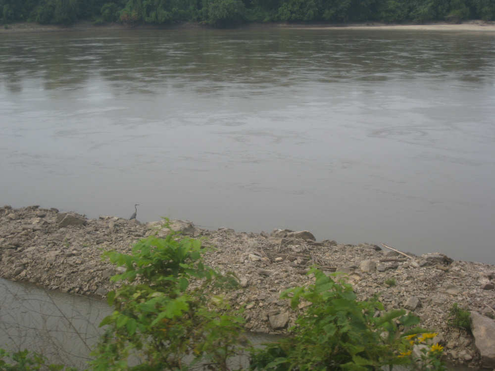
A heron by the gravel spit in the river
|
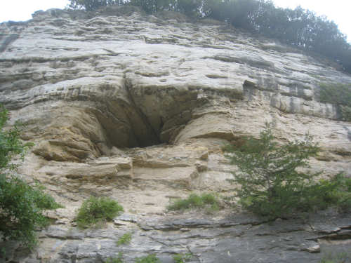
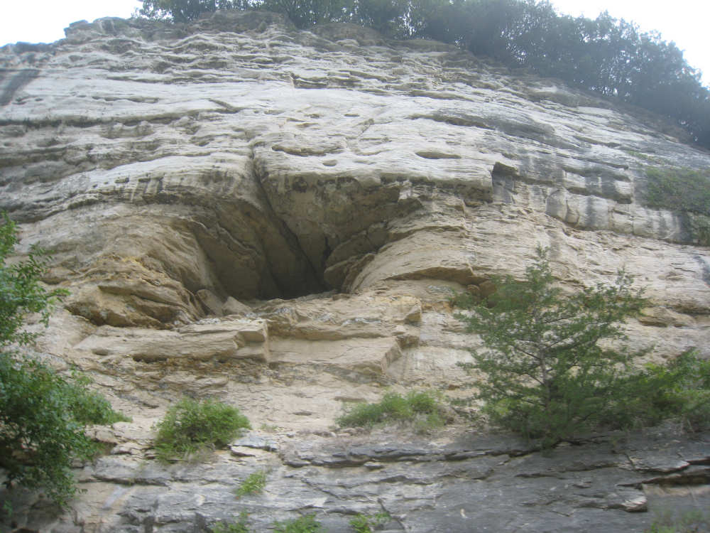
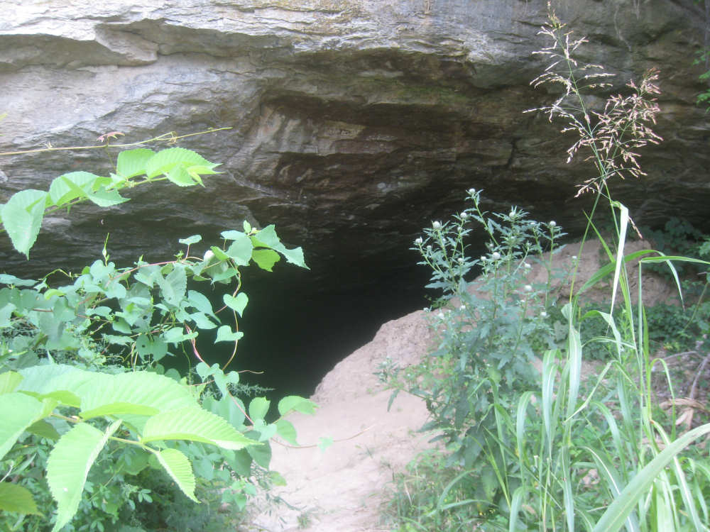
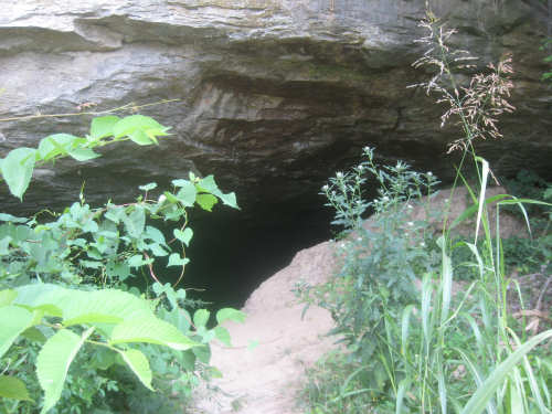
A natural cave formation in the cliff
|
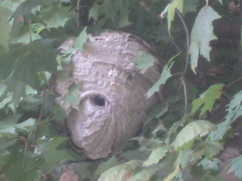
A close-up of a paper wasp nest in a tree by the trail
|
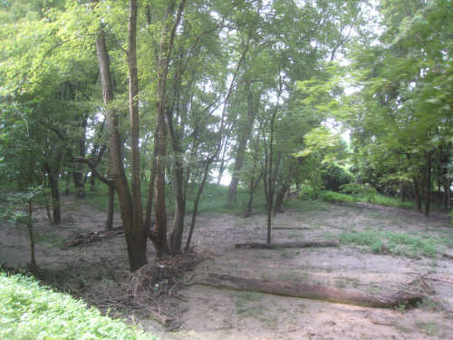
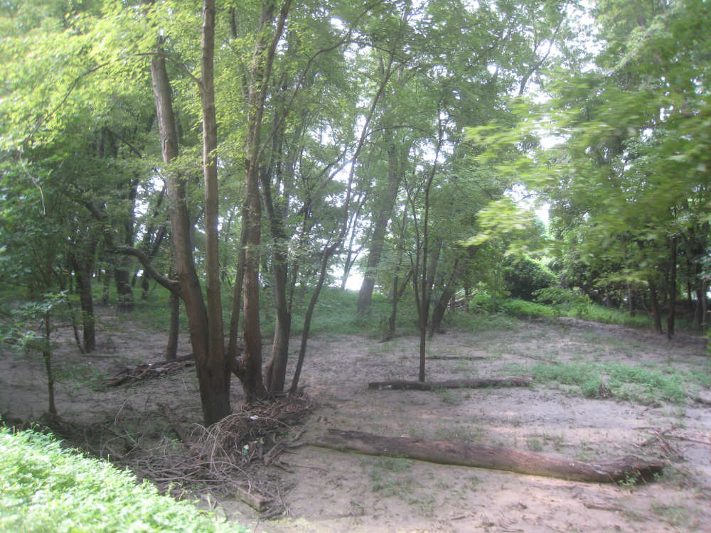
Bottomlands, often under water apparently
|

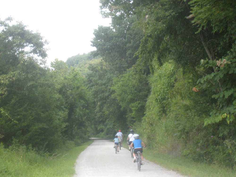
A family of bikers
|
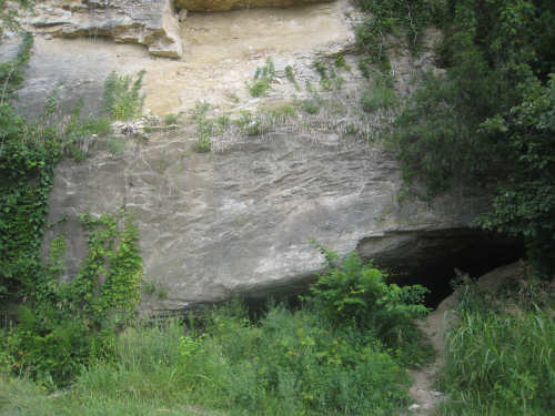
Another cave in the cliff...
|
apparently housing bats...
|
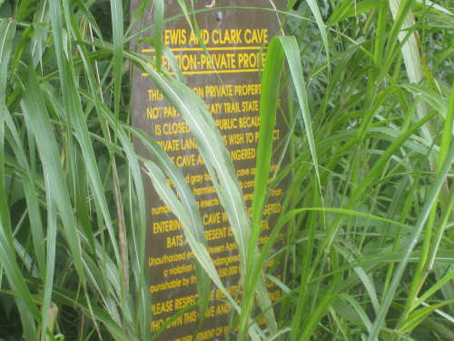
off-limit to the public so the bats are not disturbed
|
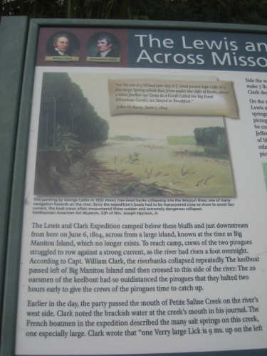
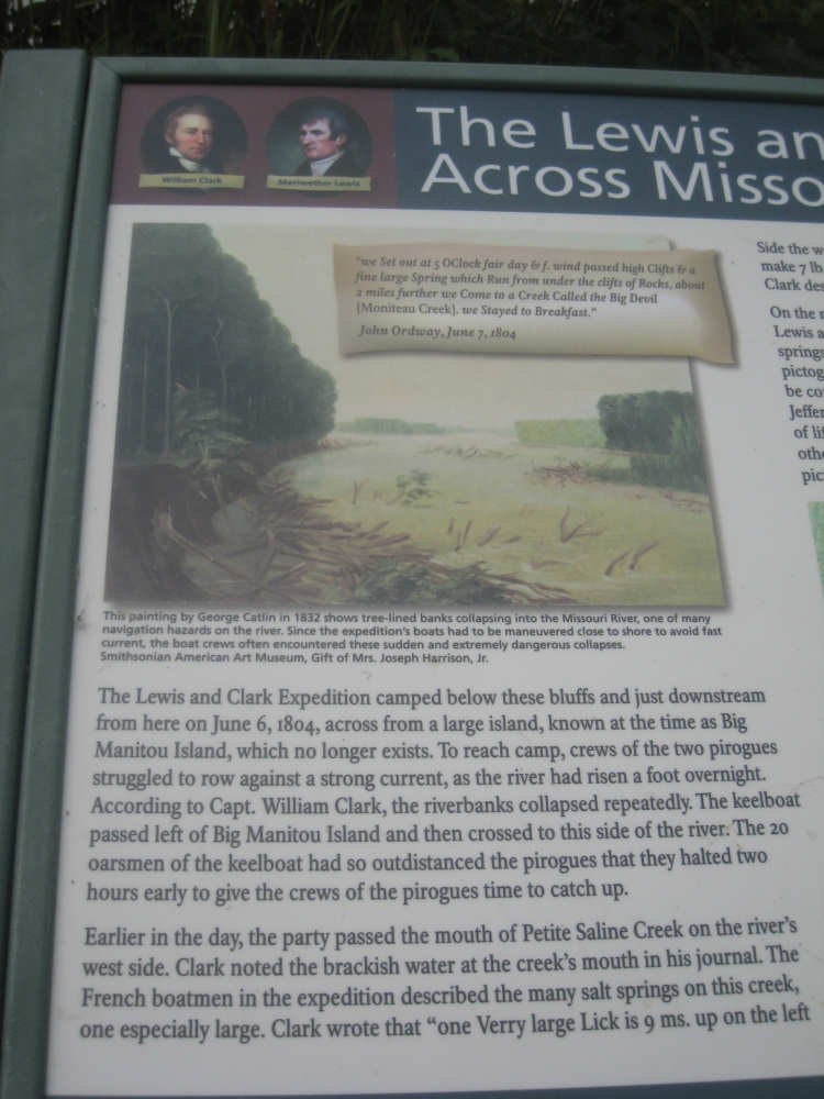
A marker about the salty Saline Creek and the swift current of the Missouri
|
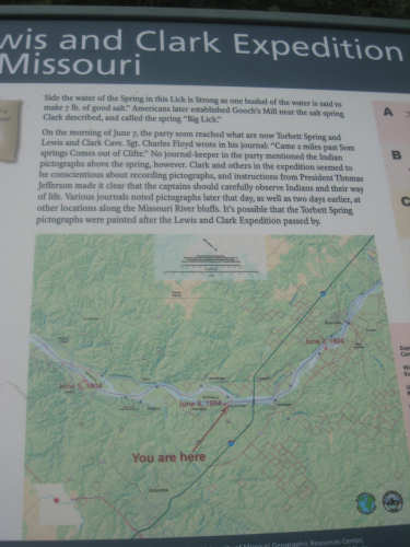
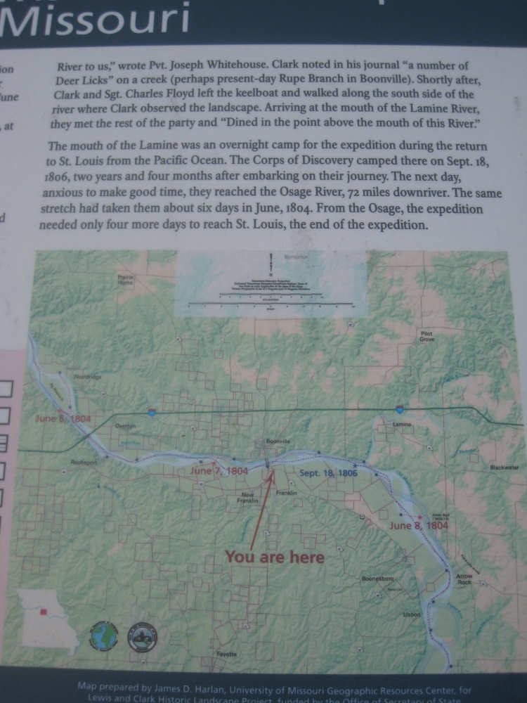
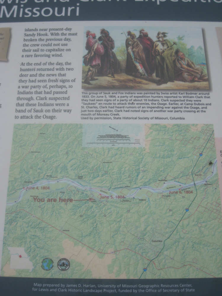
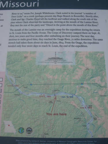
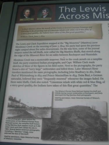
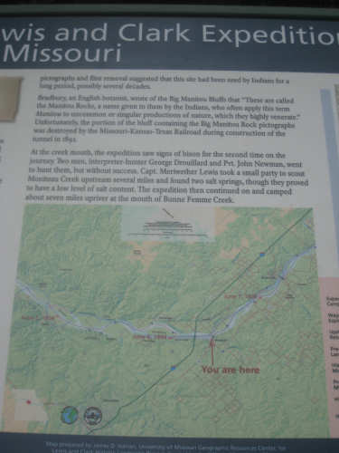
It was interesting to watch our progress versus L&C's on these maps
|

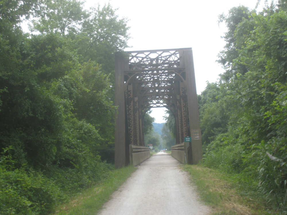
An old railroad bridge
|
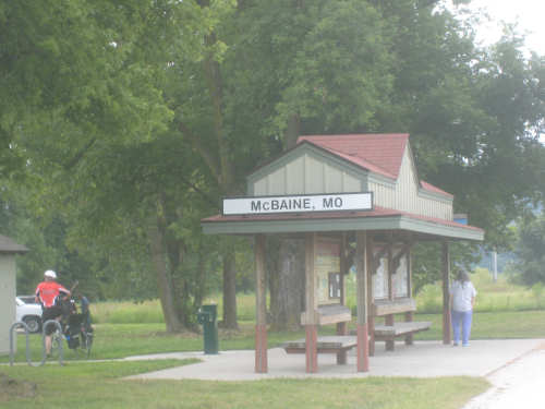
We come into McBaine...
|
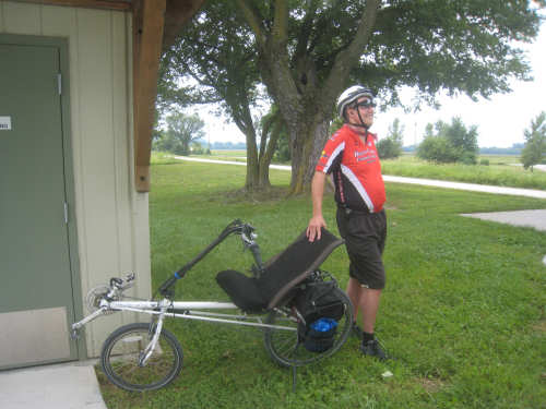
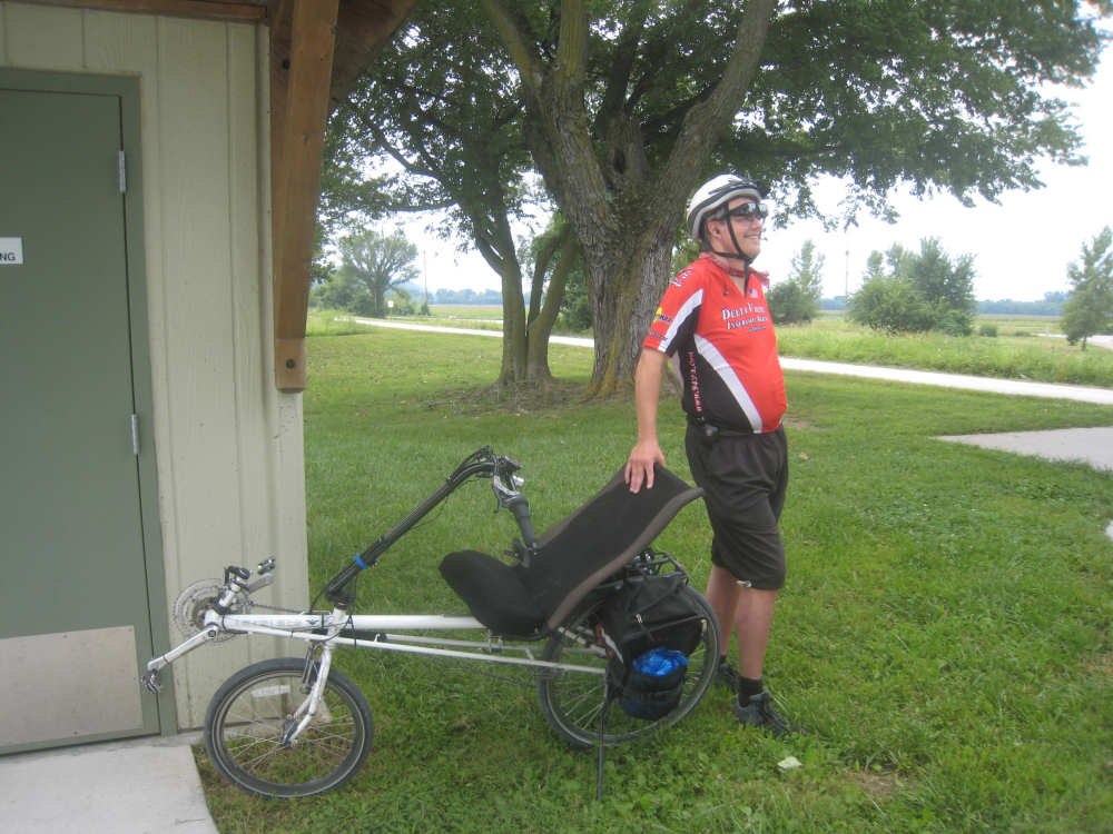
and chat with a guy on a recumbent bike (also from Kansas City)
|
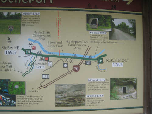
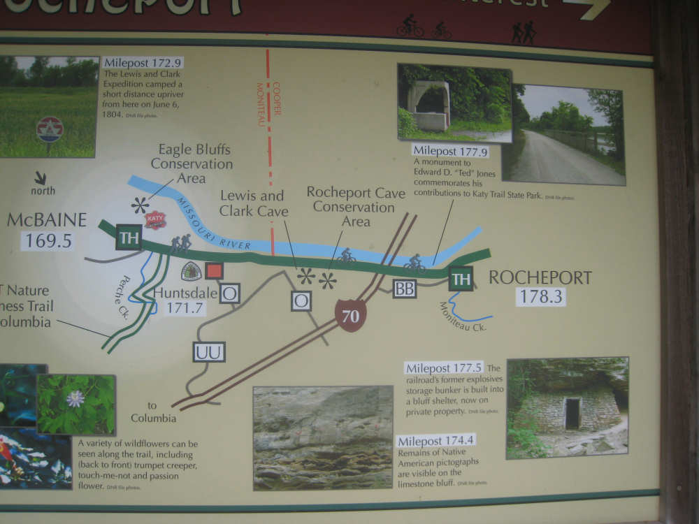
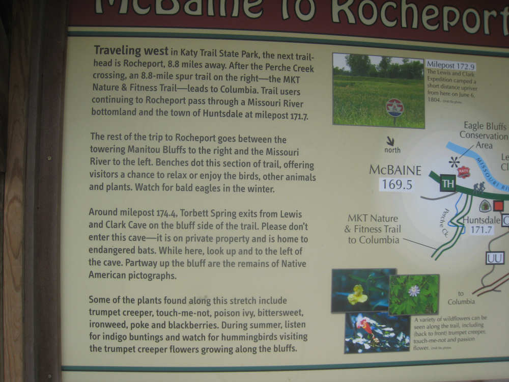
The bulletin board in McBaine lists several local sights
|
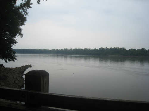
Another view of the river
|
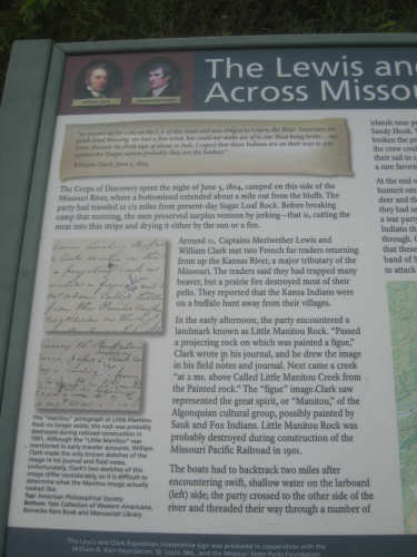
A marker about Lewis & Clark's encounters with fur traders and Indians in the area
|
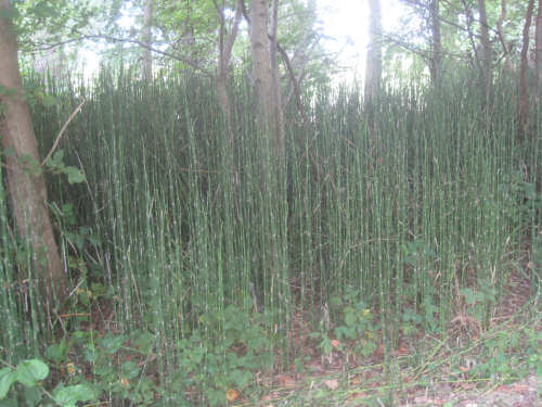
Some interesting grasses along the trail
|
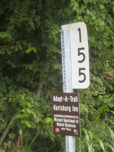
One of the mile markers and an Adopt-a-Trail sign
|
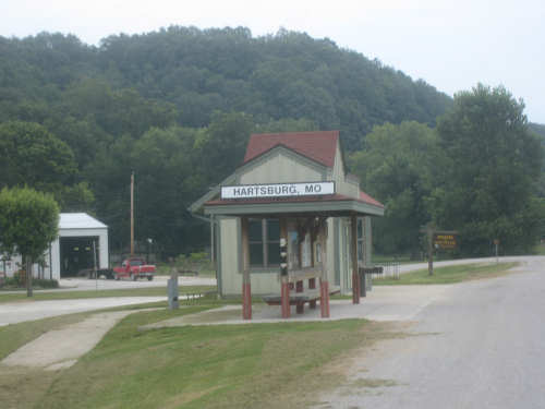
We come into Hartsburg, our last trail stop of the day
|
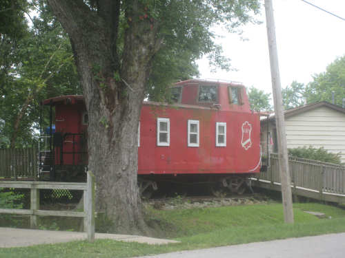
An old Katy railroad car across from a Hartsburg cafe that closed moments before we got there
|
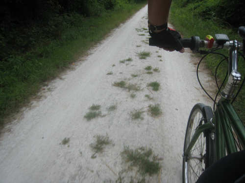
Grass growing in the trail
|
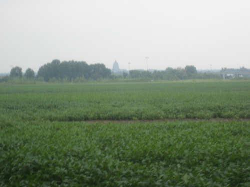
Our first sight of the Capital Building in Jefferson City
|

A view of the twin bridges from the I-54 overpass
|

The Jefferson City Capital Building, up close
|