Thursday, August 21, 2008
Jefferson City, MO to Hermann, MO
50 miles (7957 total miles)
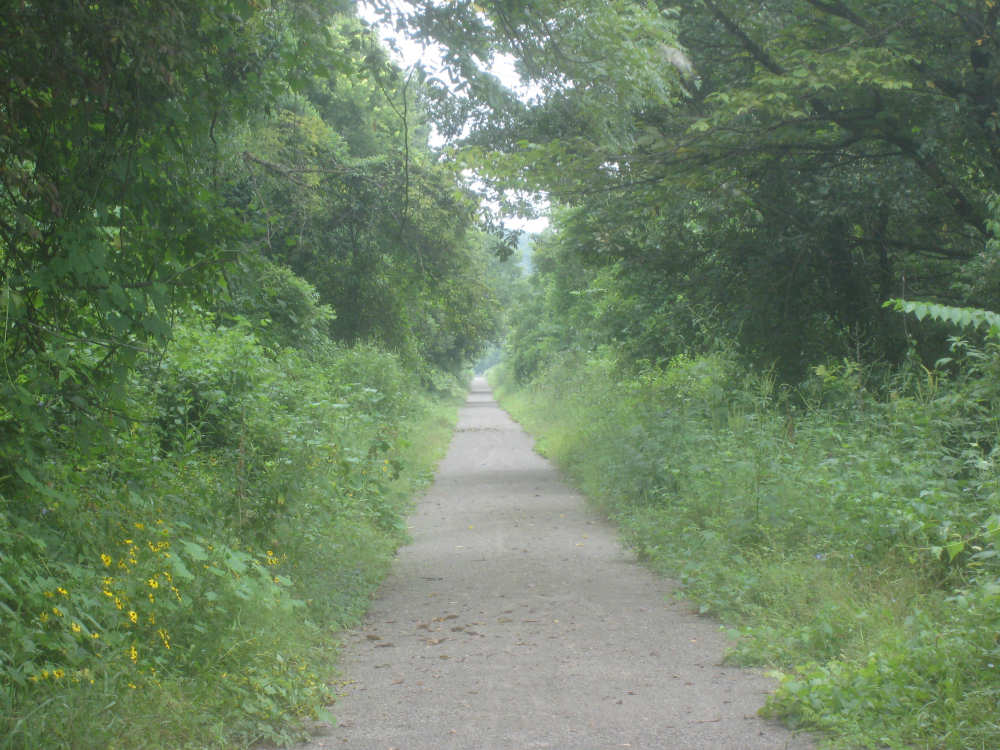
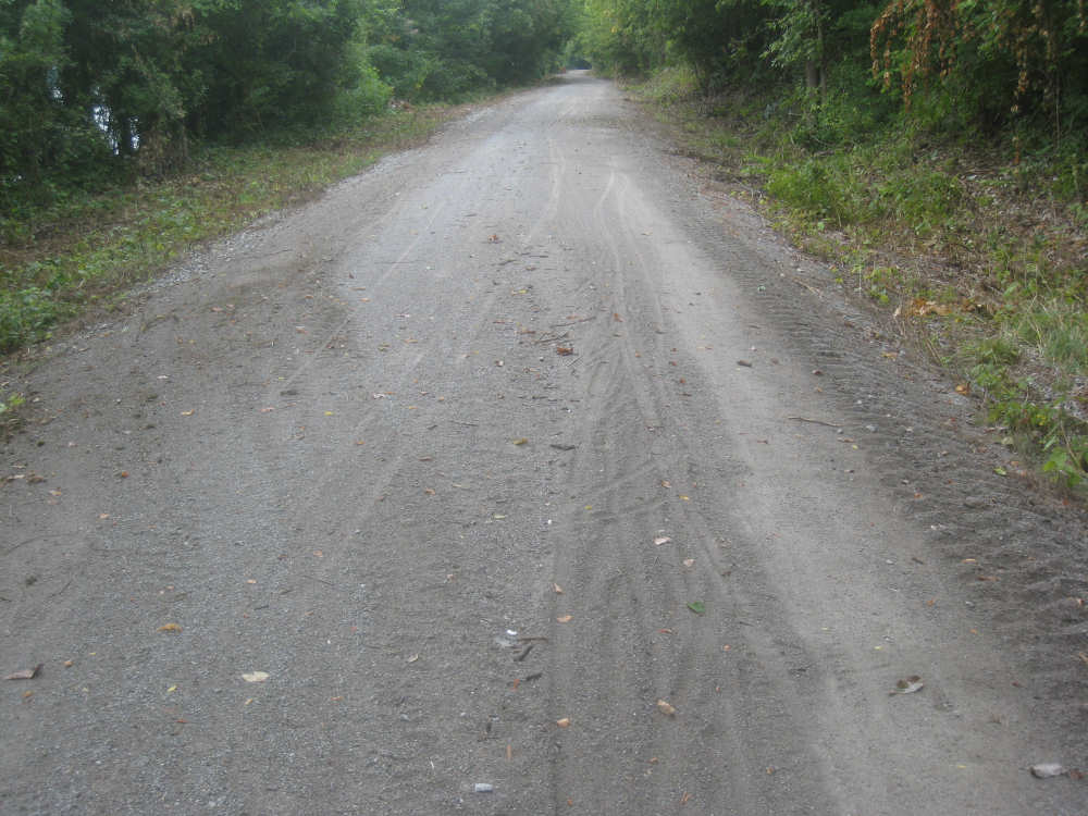
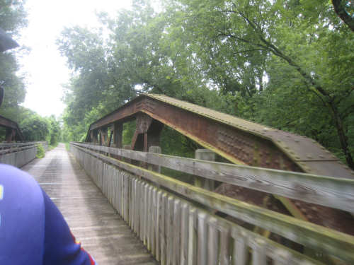
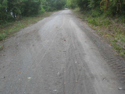
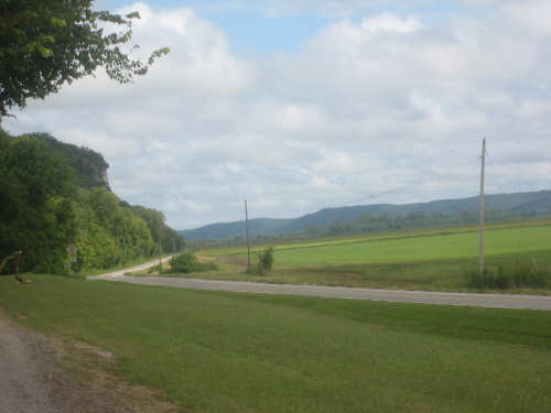
It was definitely rougher on the Katy Trail today. If you remember, it started to rain at the end of our day yesterday. Well, it kept raining off and on during the night and was sprinkling when we left in the morning. We worried that the rain would have made the trail muddy, but it wasn't, thankfully. Still, it was rougher in spots and the gravel was slippier in others. Hard to know whether this stretch of the trail is normally in worse condition than what we had yesterday, but the rain certainly didn't help. Also, we couldn't use the camera with it raining off and on, so I thought we wouldn't even have any pictures for you today, but it did finally clear up enough to get the camera out and we managed to come up with quite a few. We left the hotel around 8 after a big, scrumptious breakfast, got back on the bridge across the Missouri (going with the traffic this time), getting more wet from the spray off the cars than from the rain, and then back on the trail. We actually had a choice today - Rt. 94, a paved road, ran parallel to the Katy Trail for most of the day, so we knew that we could ride there if the trail was too bad. But it wasn't awful and there was no shoulder on 94 (not much traffic, either, but some) so we figured the trail would be safer and more relaxing even though a little slower-going than we like. We certainly didn't have much traffic on the trail - we saw only 2 bicyclists today, one of whom was traveling from St. Louis. I guess most people didn't think it was such a great day for biking the trail. We did go past more homes and farms today, maybe due to having 94 so close by; crossing the roads and driveways added to the rough ride, since they were often rutted and more gravelly than the rest of the trail surface.
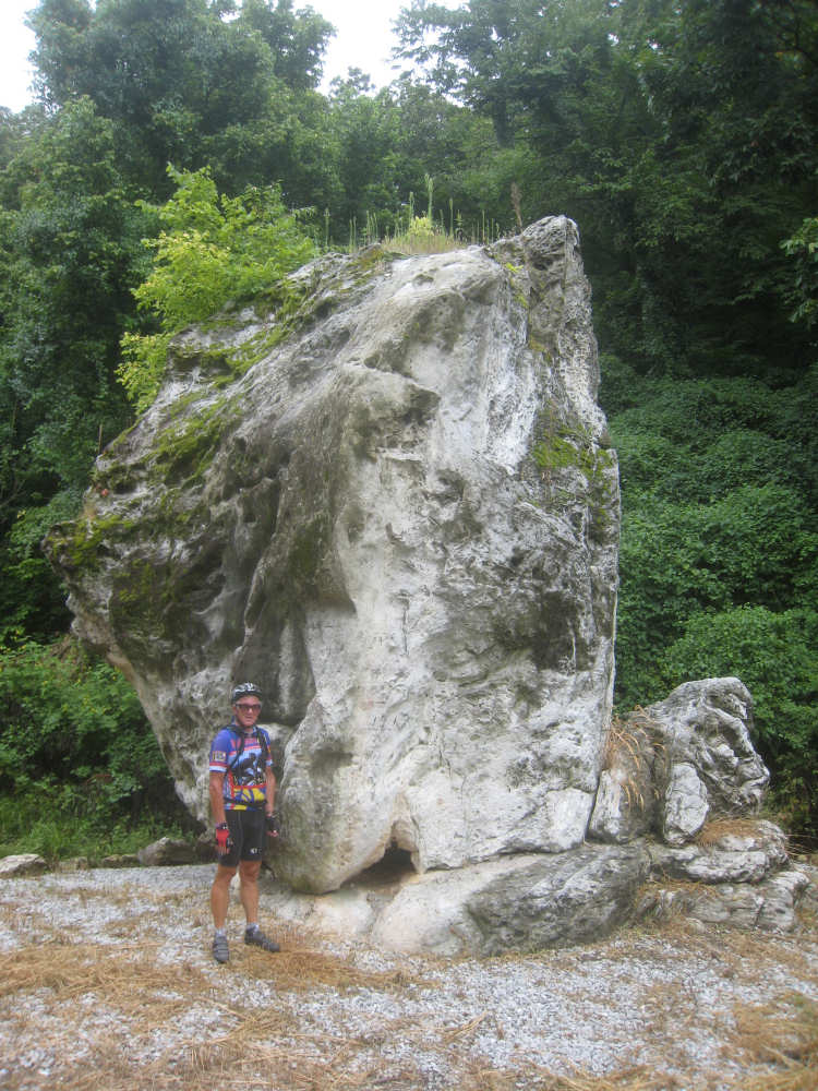
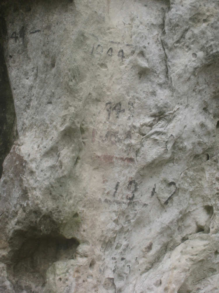
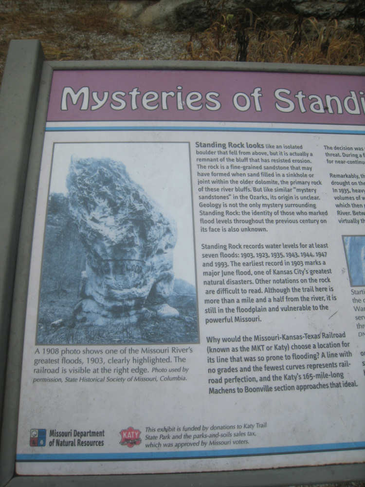
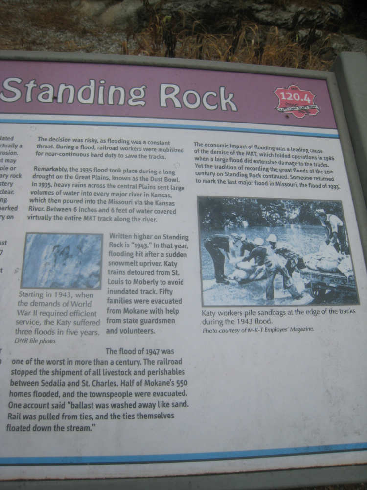
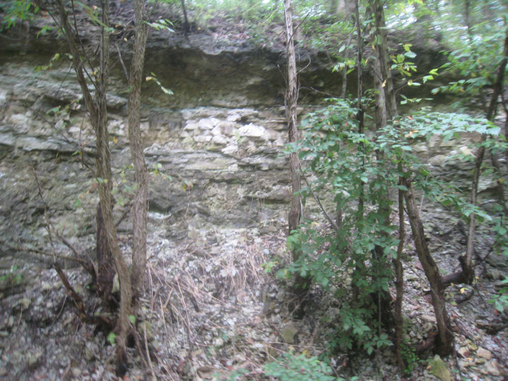
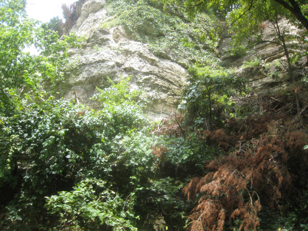
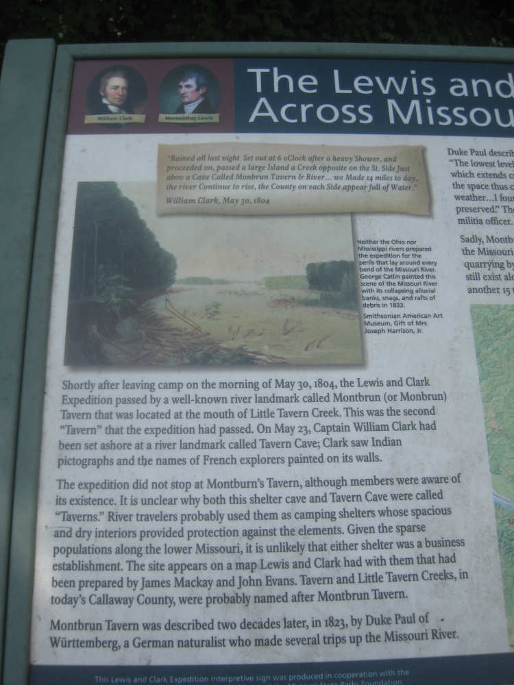
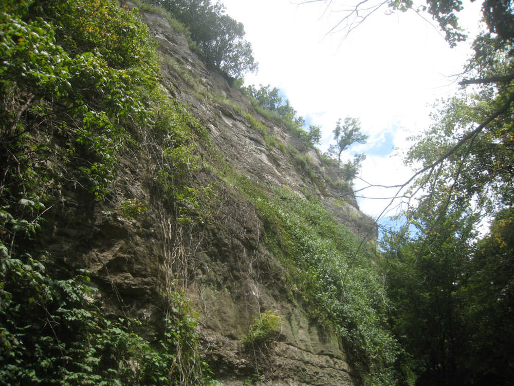
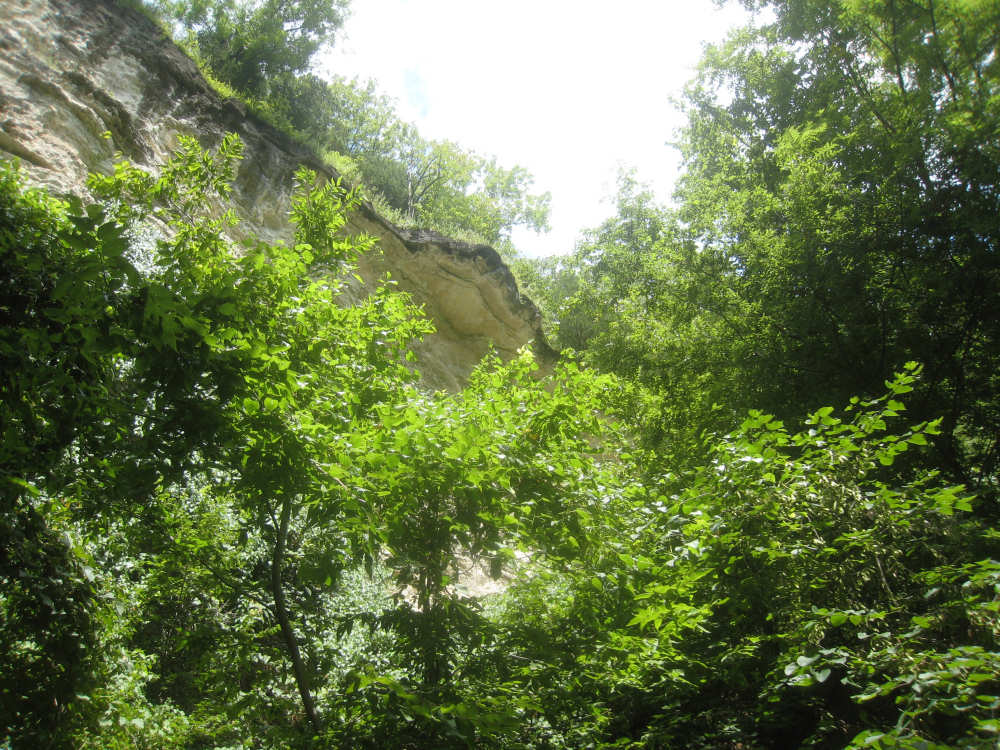
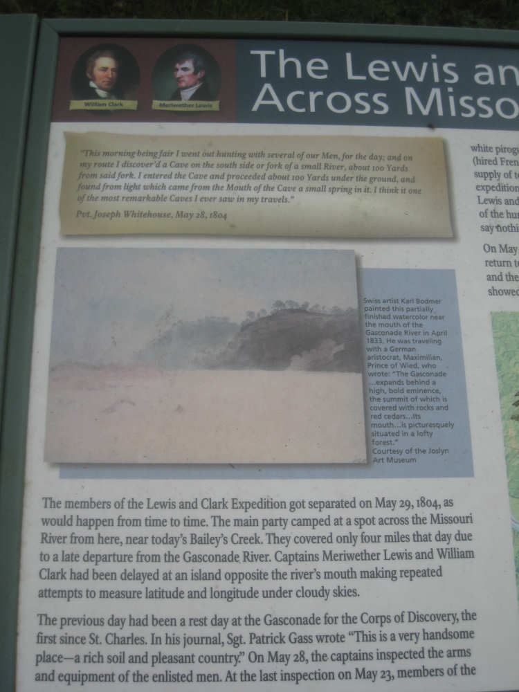
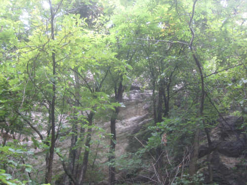
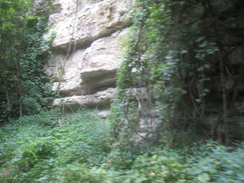
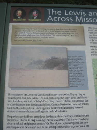
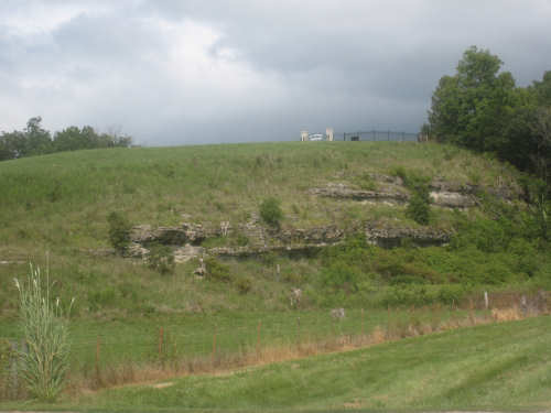
Most of the sights today were a lot like yesterday. There were fewer historic markers, but a few interesting ones. There were the usual bridges and creeks, small towns every 5-10 miles, lush vegetation, bottomlands, bluffs, sightings of the Missouri River. The sandstone bluffs were the stand-out for the day. The rock formations are amazing, the way erosion has scooped and carved out layers of rock, leaving ledges and caves and shelves in the cliffsides. Apparently, the Lewis & Clark team were impressed by them, too; there were references to them in some of the roadside plaques. There was one unusual stone that had "resisted erosion", originally being part of a bluff that had eroded away, leaving this one tall stone. There were lines marked on it for the flood levels of the various major floods in the area, the first one being in 1903 and the most recent in 1993. The dates were very hard to read and we couldn't find the 1993 level. From what we've read, it was a devastating one.
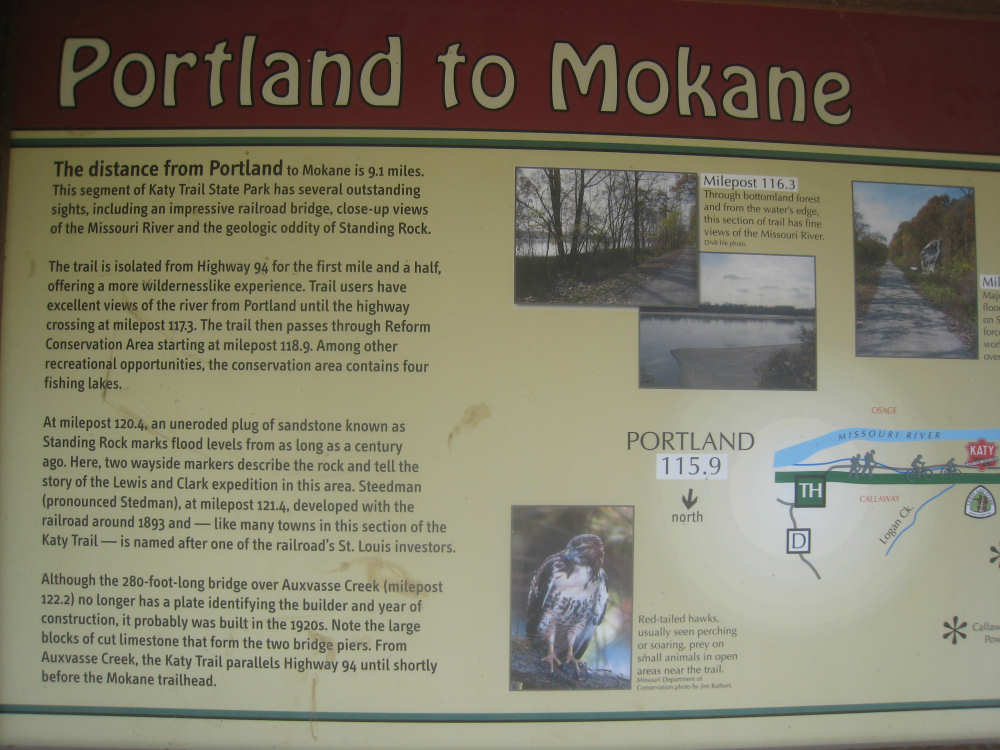
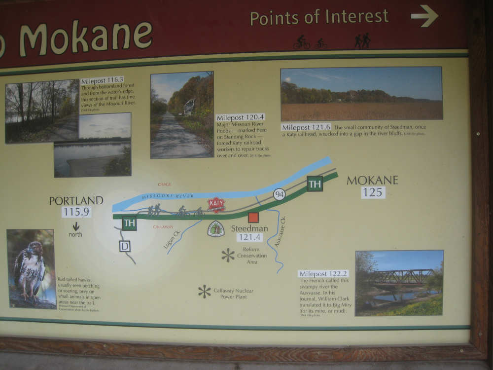
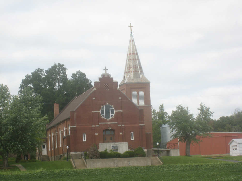
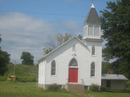
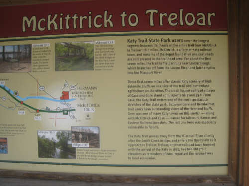
The ride was fairly uneventful for the first 22 miles or so when we came to the town of Mokane. We decided it would be a good place for lunch so we turned into town and found a bar & grill. I went in to check it out and found it to be chilly, smoky, and very noisy - they were ripping out the old flooring and installing new plywood in half of the restaurant while the other half was still open for business. I went out to report this news to Pat and stopped to ask a guy who was passing by whether there was any other place to eat in town. He said no, the nearest one was about 5 miles away, but that this place served "bodacious burgers". Well, we figured for bodacious burgers, we could put up with some noise and smoke. They really were good, too. After Mokane, the weather lightened up a bit and we started taking pictures again. We went past a number of bluffs and I tried to get some representative pictures of them. They were very hard to take because of all the trees in front of them. We didn't make any other stops except to take pictures and rest. Some of the trail stops had bulletin boards with highlights of the trail for a few miles in either direction, and we took pictures of some of them. They mentioned a strong German influence in the area, with many German immigrants settling in towns like Rhineland and Hermann.
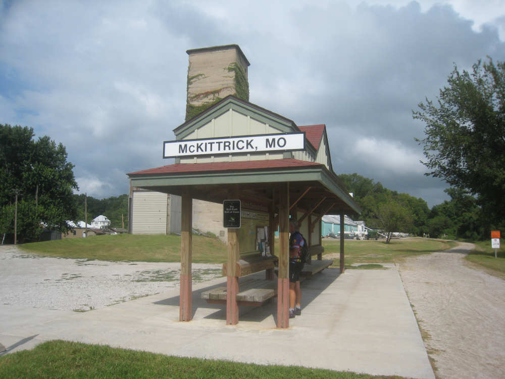
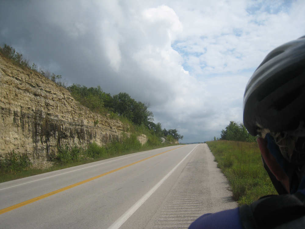
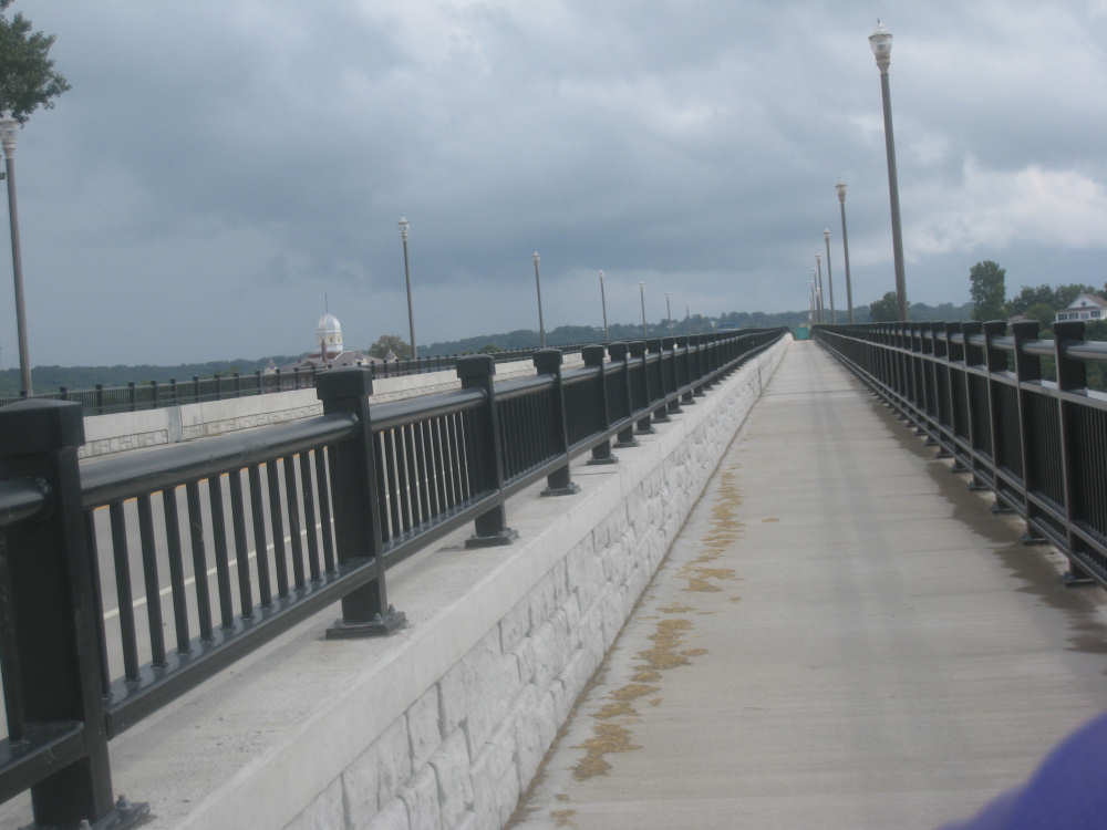
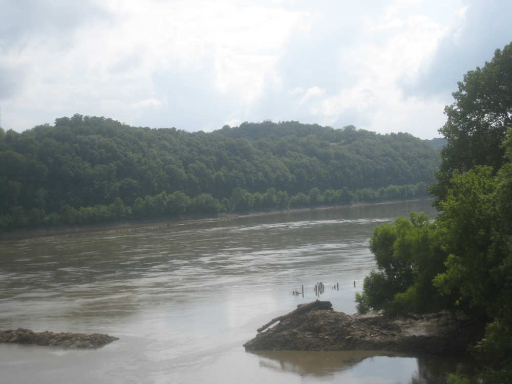
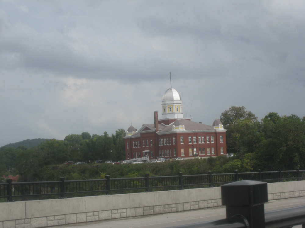
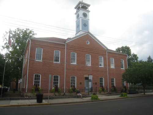
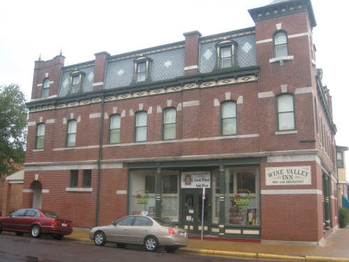
We came to McKittrick, our last trail stop of the day and turned onto Rt. 19 to cross the Missouri River into Hermann. The bridge was new and had a dedicated bike lane, although it also had a perfectly good shoulder as well. As we crossed the river, a county building with a lovely dome top came into view (Hermann is the county seat of Gasconade County). Hermann itself was a charming town with several interesting buildings, museums, shops, and lots of bed-&-breakfast places. We arrived at our motel just after 4 and the motel owner directed us to the Trapper's Grill for a delicious dinner. And then we set to work and finally to bed. We went 49-2/3 miles today in 5-3/4 bike hours, a lot slower than yesterday, as expected. Tomorrow we're expecting more rain for day 3 on the Katy Trail.
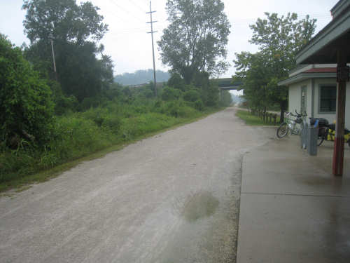
Back at the North Jefferson trailhead - note the rain puddle on the trail
|

Dense vegetation along the trail...
|
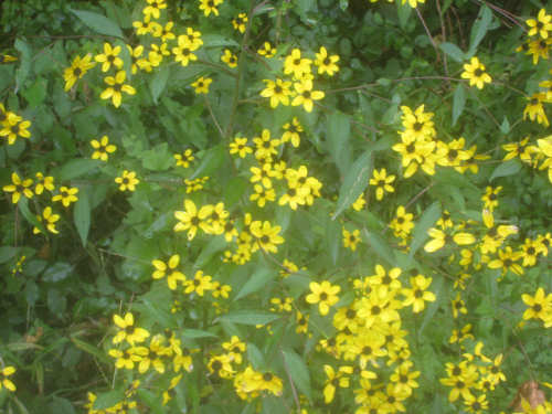
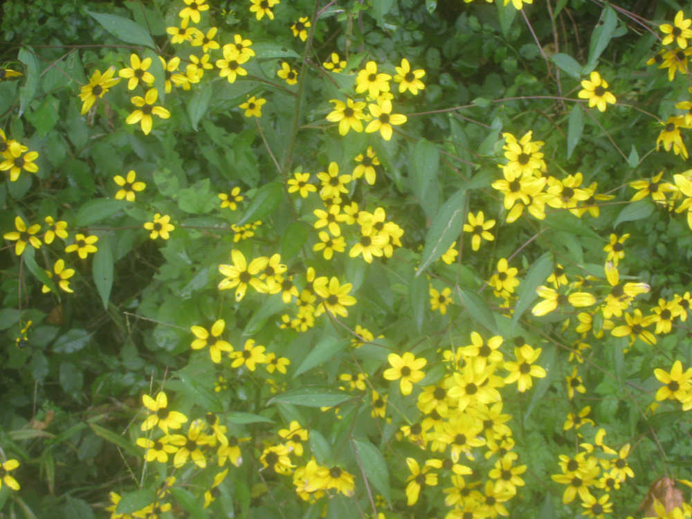
as well as some bright, cheery flowers
|
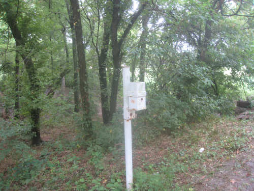
These traffic counters were located at several spots along the trail
|

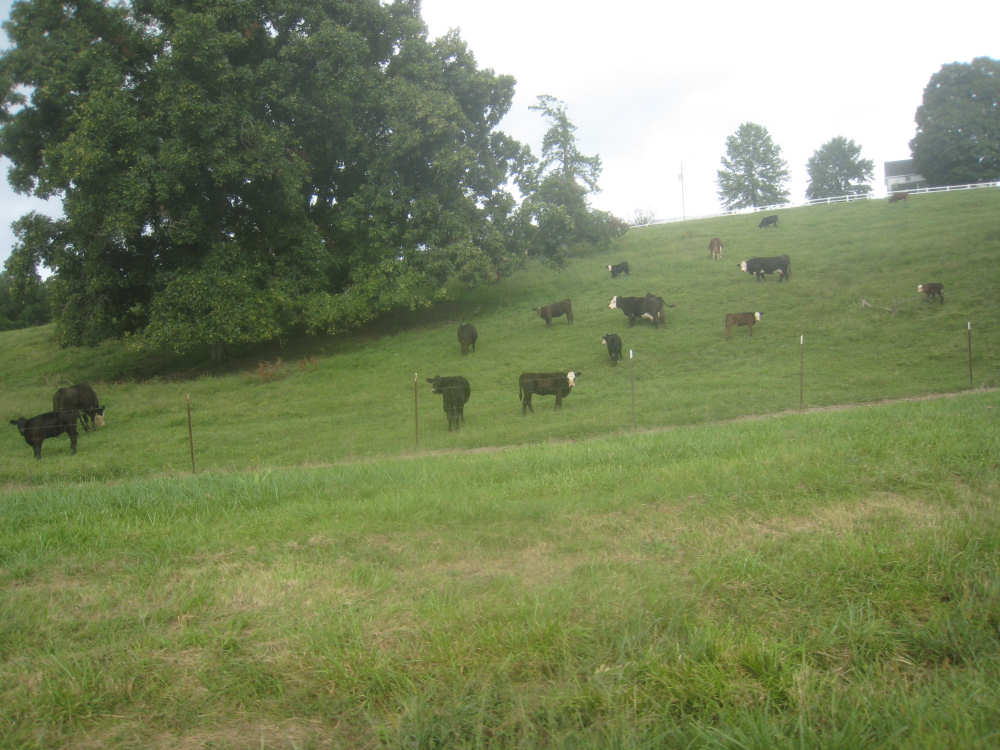
Cows - an unusual sight on the trail
|
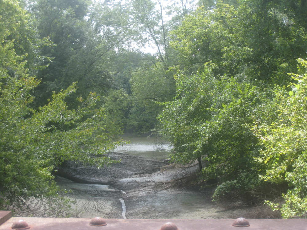
Lewis & Clark called this creek the Big Miry (i.e., muddy) River
|

Standing Rock, the stone remaining after
the rest of the bluff was worn away
|
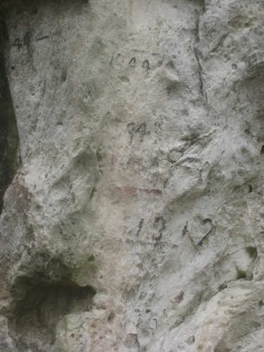
The flood level markers on the rock
|
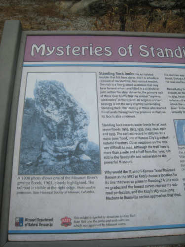
The write-up describing the rock and the floods in the area
|
Bluff with strangely curved rock layers and a small cave near the top
|
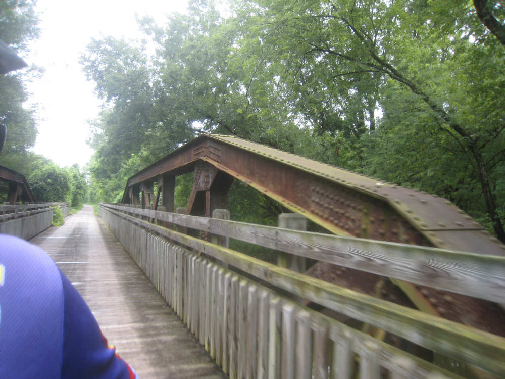
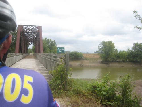
Another wooden bridge inside the old railroad bridge
|
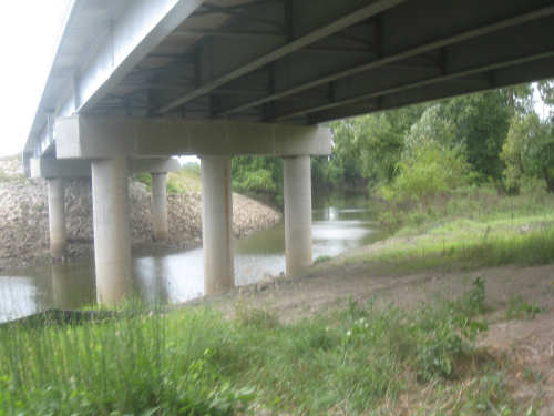
A creek runs underneath a road overpass
|
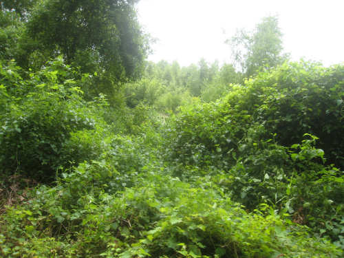
More lush vegetation along the trail
|
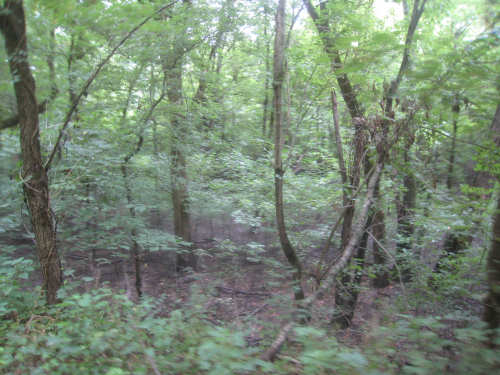
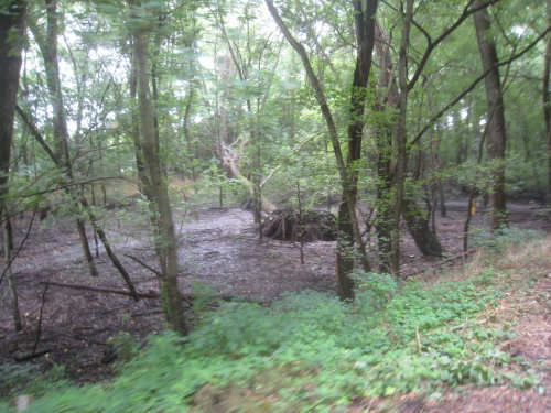
Woodsy bottomland area
|

Flaky-looking rock with a ledge carved into it
|
Massive carved-out shapes in the cliff
|
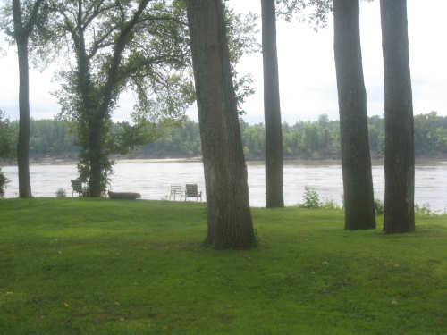
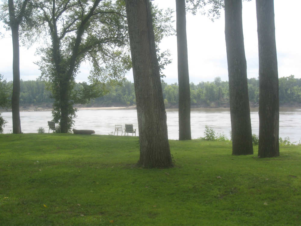
Along the river again - someone set out chairs for watching the river flow
|
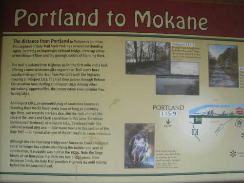
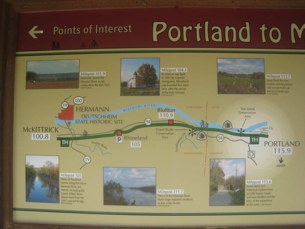
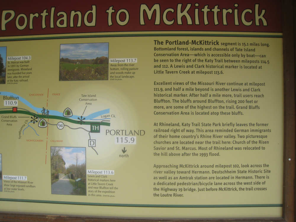
The trail stop at Portland mentioned some interesting features along the trail
|
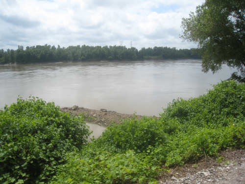
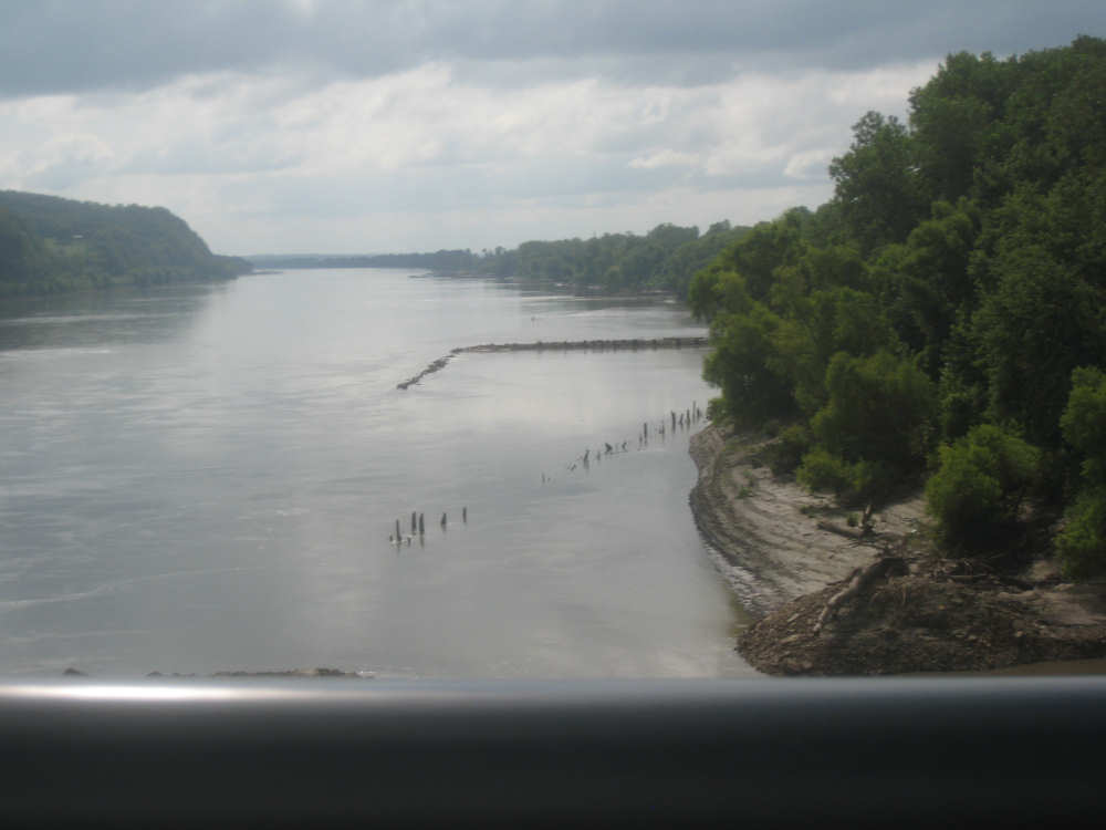
Another view of the river
|

Another fascinating bluff
|
An uprooted tree in a bottomland area
|

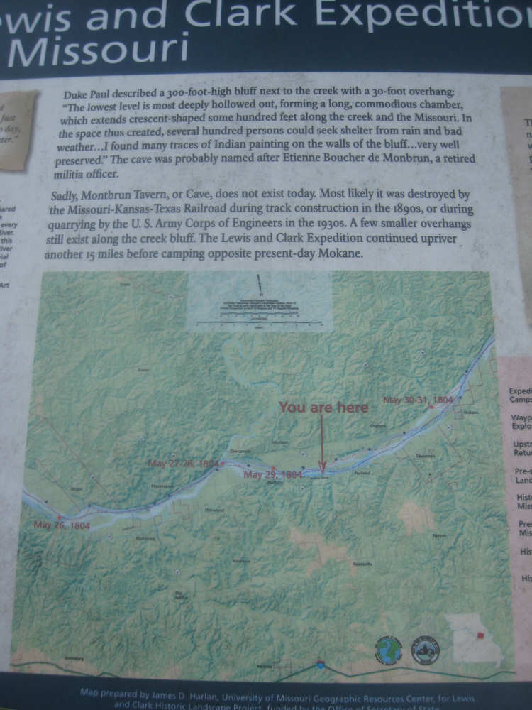
A Lewis & Clark marker about the bluffs and caves in the area
|

Little Tavern Creek flowing into the Missouri amid very muddy banks
|
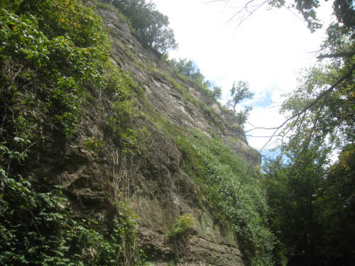
Another impressive bluff
|
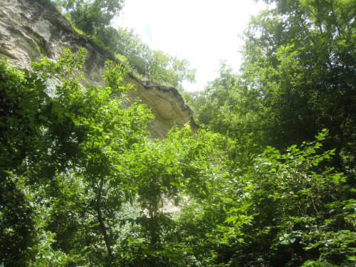
Many bluffs had overhanging ledges at the top, with the lower area eroded away
|
A particularly slippery part of the trail
|
Another historic marker about the caves
|
A view of a bluff near Bluffton (!) and the hills on the other side of the river
|

One of the Rhineland churches mentioned in the Portland bulletin board
|
The other Rhineland church, St. Marcus...
|
and the St. Marcus Cemetery, up on a cliff
|

Our last trail stop of the day
|
Some of tomorrow's highlights
|

Rt. 19 from McKittrick, with an impressive sandstone cliff and rumble strips
|
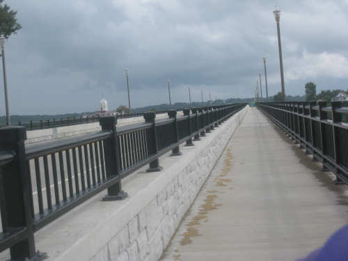
The bike lane over the bridge to Hermann (note the dome on the left)
|

Crossing the Missouri River
|

Here's the county building with that lovely dome
|
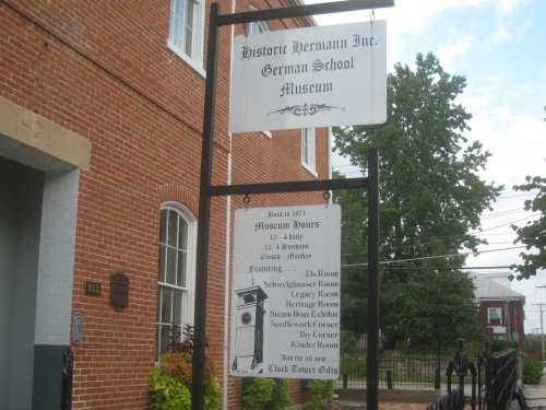
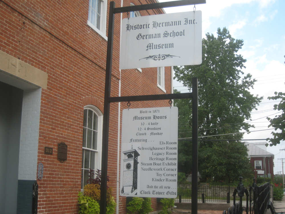
A German School Museum in Hermann and some of its exhibits
|
The School Museum building
|
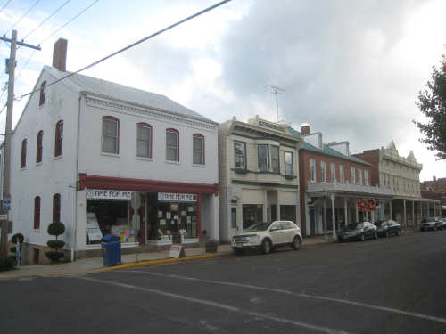
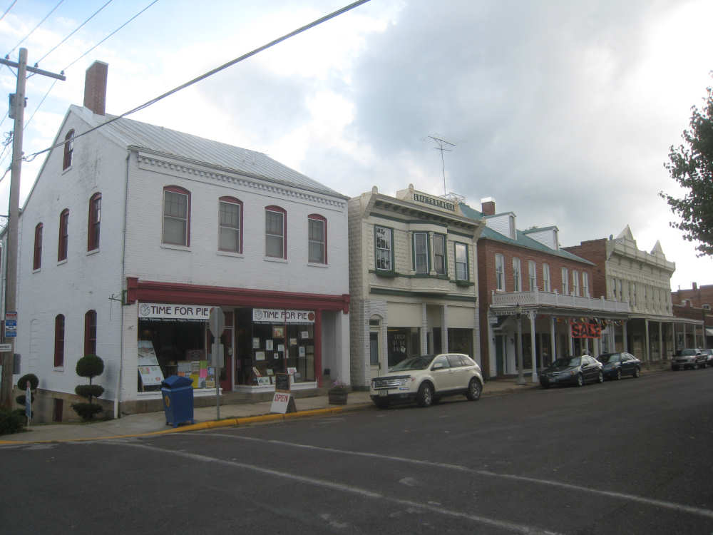
Charming shops along a main street
|
Another interesting building in town with a German style
|
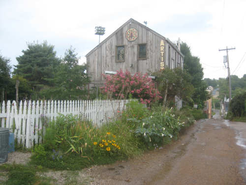
A rustic artist's shop across the alleyway from our hotel
|