Saturday, August 23, 2008
Defiance, MO to Saint Louis, MO
42 miles (8044 total miles)
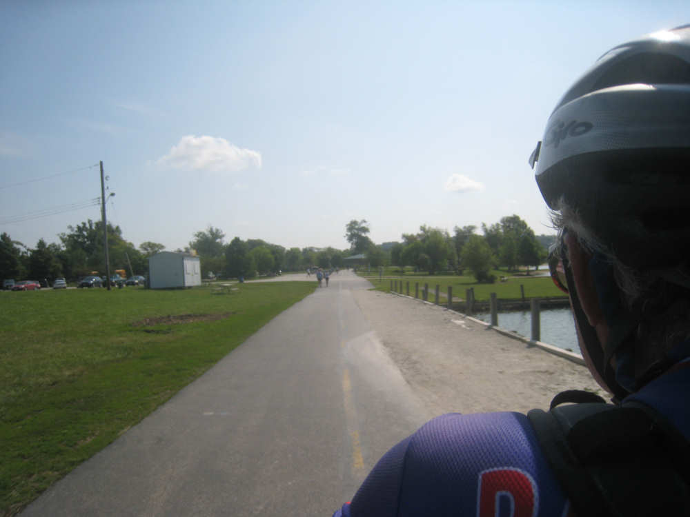
Our last day on the Katy Trail. It was sunny, hot and muggy today - not bad while we were on the trail but a bit much when we were off it on the hot city streets. We left this morning about 8 after a delicious breakfast at the Das Gast Haus in Defiance. Jacquie, our hostess, graciously offered to go down to the trailhead with us and take our 8,000-mile picture. Then we were off down the trail again. This being Saturday morning, the trail was full of people, biking, walking, and running. In our first hour on the trail, we'd already counted as many bikes as we'd seen all day yesterday, and 10 more walkers/joggers. There were a number of families out biking, some with kids in trailers, some with kids on bikes, as well as solos and pairs. We stopped to chat with a couple of guys who stopped when we were stopped to take a picture, and with a married couple when we were stopped at a trailhead restroom. Very friendly folks. We rode past the usual bluffs, none as spectacular today, and wetlands and bottomlands. There seemed to be a lot more water around than usual - wetlands, creeks or ditches full of water along the side of the road - maybe because of the recent rains. We did go by the Missouri again and finally crossed it going into the St. Louis area.
We got off the trail at mile marker 43 and, toward the end, it was already looking more citified. We ran right next to a paved road with crop fields on the other side, woods and hills on our side. At one stretch, cars from the road were parked on the grassy area between the road and the trail, with their noses edging into the trail. It looked like a very popular place to get on the trail. When we turned off the trail, we got onto a loopy, paved trail that wound up to the bridge over the Missouri on Hwy. 364. The trail put us on a bike lane on the north side of the bridge and continued as a paved trail on the other side of the bridge. Here, the trail was heavily used as well, with bikers, walkers, joggers, and even roller bladers (we didn't see any of them on the Katy Trail!). We continued to loop around, going through the Creve Coeur County Park and past the huge Creve Coeur Lake. There were lots of people out enjoying the park and lake - there was a large athletic facilities building there, with ball fields and open park areas. We saw some people out in scull boats on the lake.
We eventually got onto a real road and went through several little northern St. Louis suburbs. To avoid going on the many large roads (I-70 and other major highways), we got routed through the Lambert St. Louis International Airport. It seemed very strange to go through an airport as a shortcut through the city, but it worked. We saw several planes taking off and landing very close by. The airport seemed like a very nice one - they had a light rail system that seems to be connected with downtown, and they had a cellphone lot for people waiting to pick up arrivals. The cellphone lot even had an arrivals board listing the status of planes that were due in, right in the lot! The city streets of St. Louis were just as hilly as the country roads in the rest of Missouri - we missed our quiet, flat Katy Trail very quickly.
We had a short day today so we decided to delay lunch to get to the motel sooner. We arrived there about 1:50, having done a llittle under 42 miles in just under 4-1/2 bike hours. Our average was a little higher on the 16 miles of the Katy Trail than it was on the hot & hilly city streets. We'll be here for a rest day tomorrow (and boy, do we need it!) and then cross the MISSISSIPPI River into Illinois.
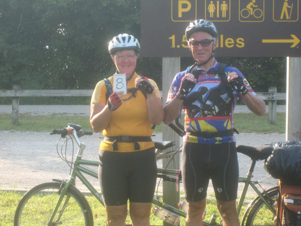
Our 8,000 miles photo in front of a Katy Trail sign in Defiance |
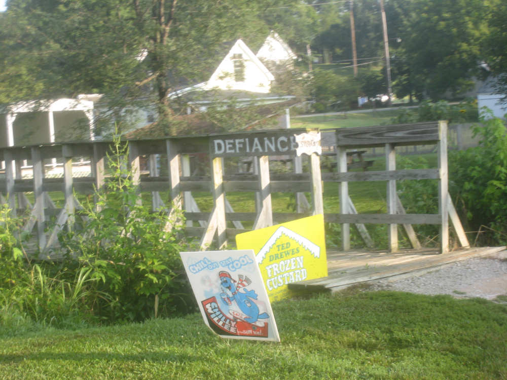
A sign for Defiance over a little bridge into a restaurant in town |
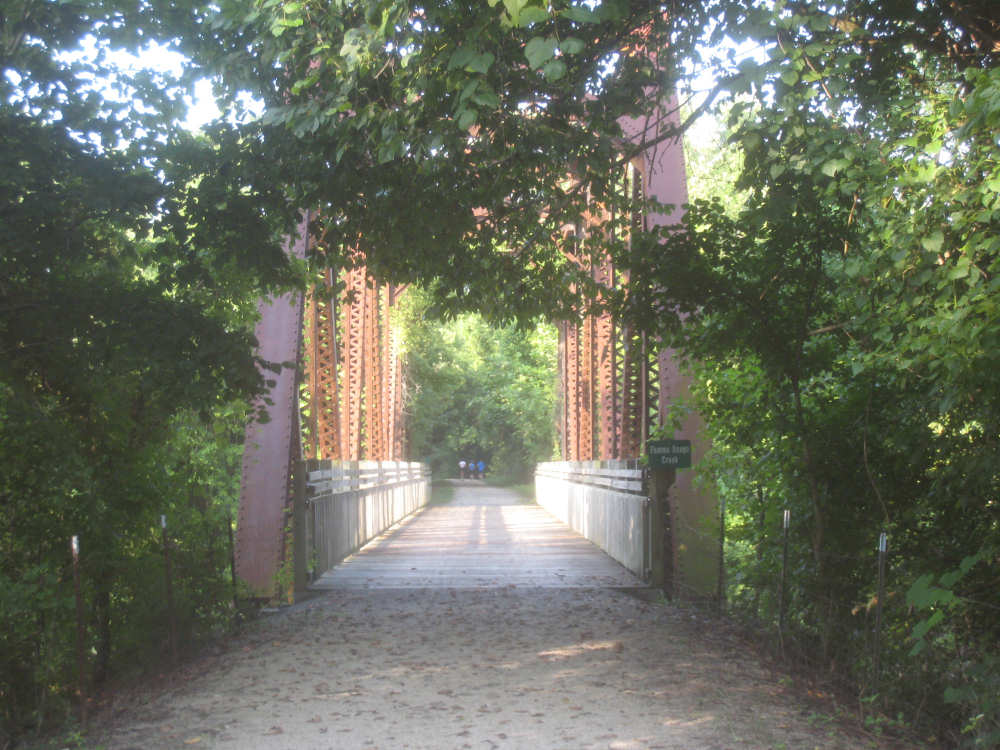
The bridge over the Femme Osage Creek, and 3 bikes going off in the distance |

Femme Osage Creek, upstream |
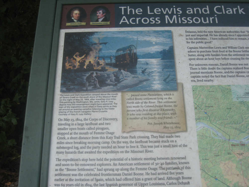
Adventures of Lewis & Clark at the Femme Osage Creek... |
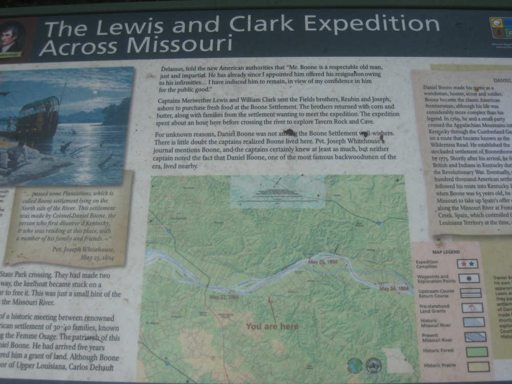
and their almost-meeting with Daniel Boone |
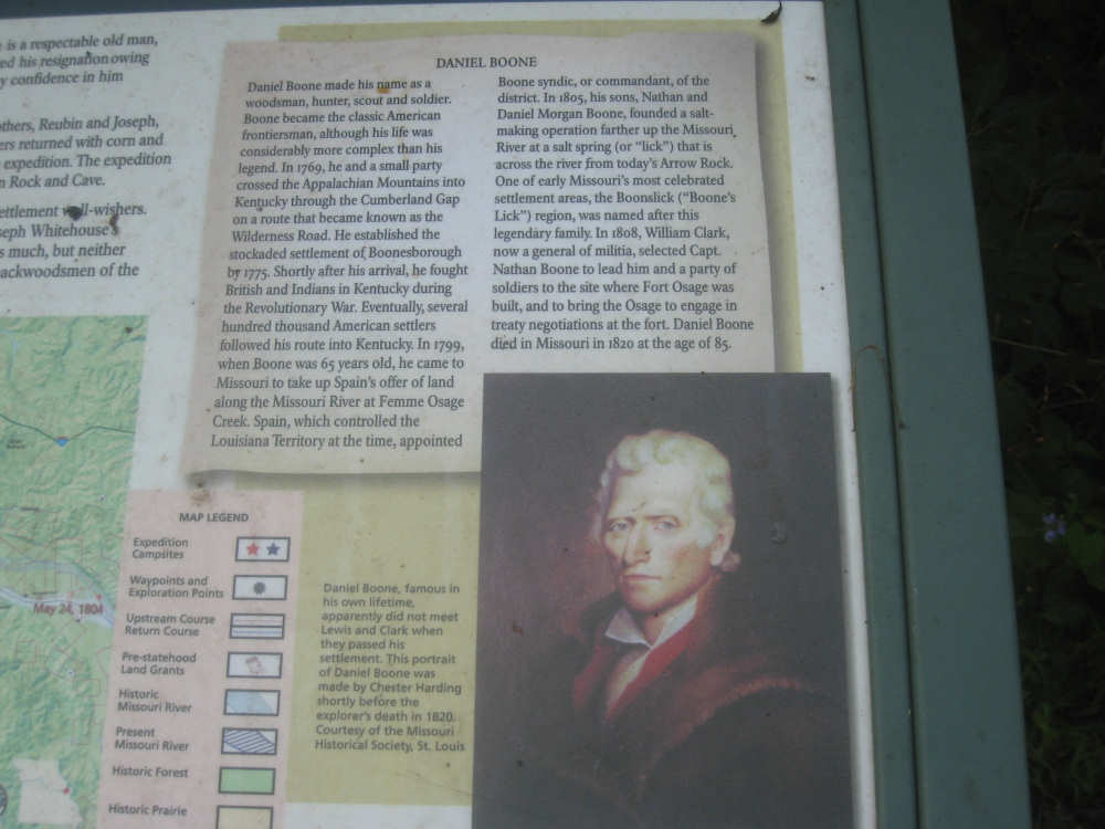
A write-up on Daniel Boone |
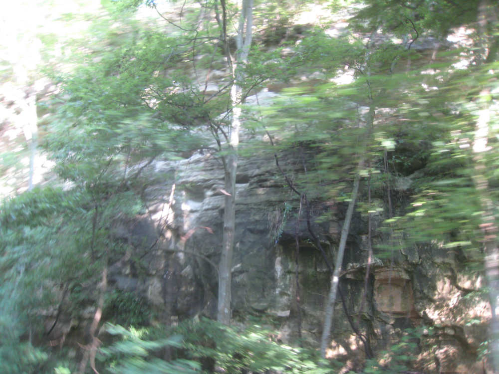
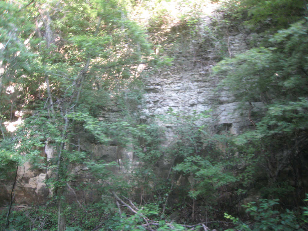
Bluffs |
|
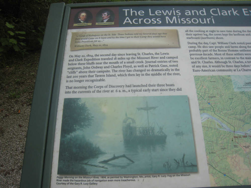
More on the Lewis & Clark travels in the area... |

and their dealings with the Kickapoo Indians |

|
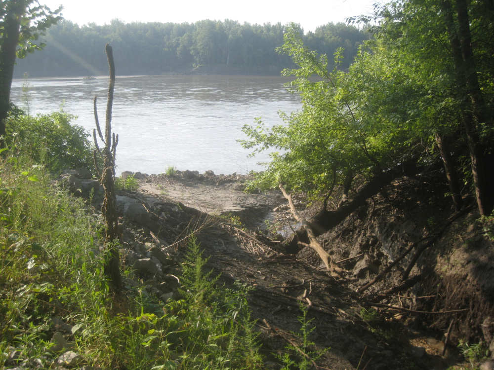
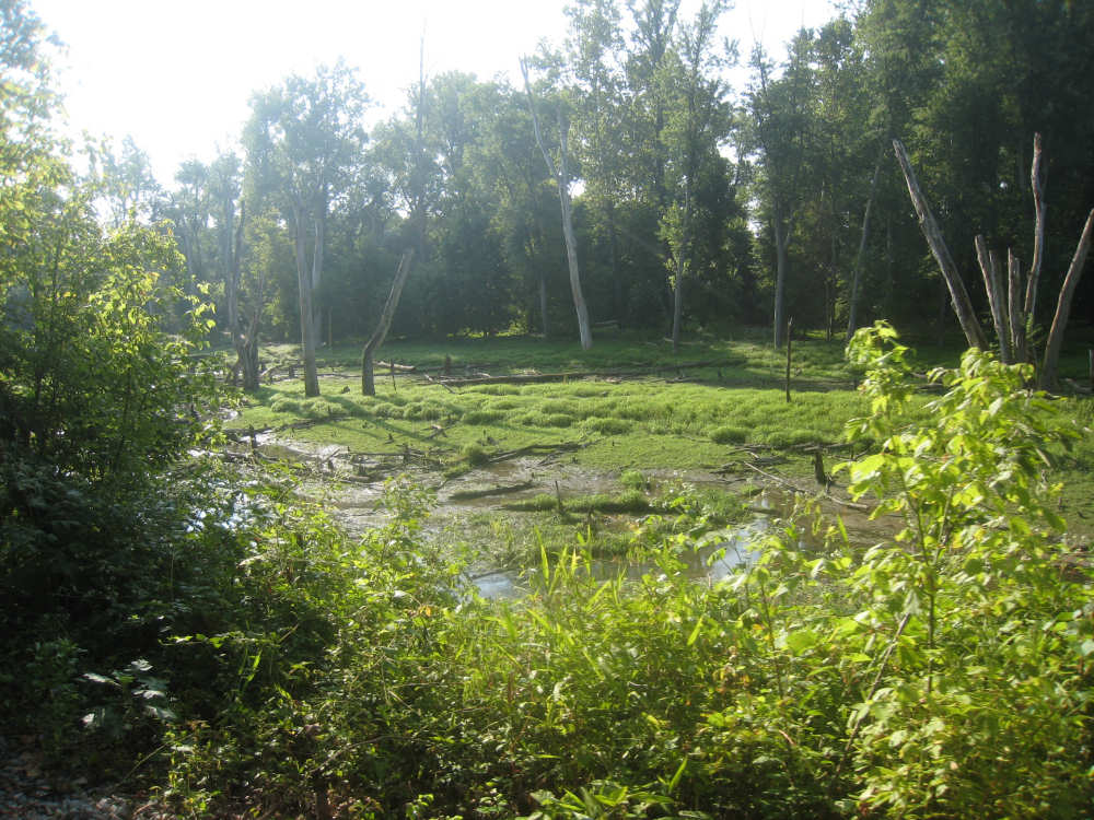
Another creek going into the river, strewn with dead trees and branches |
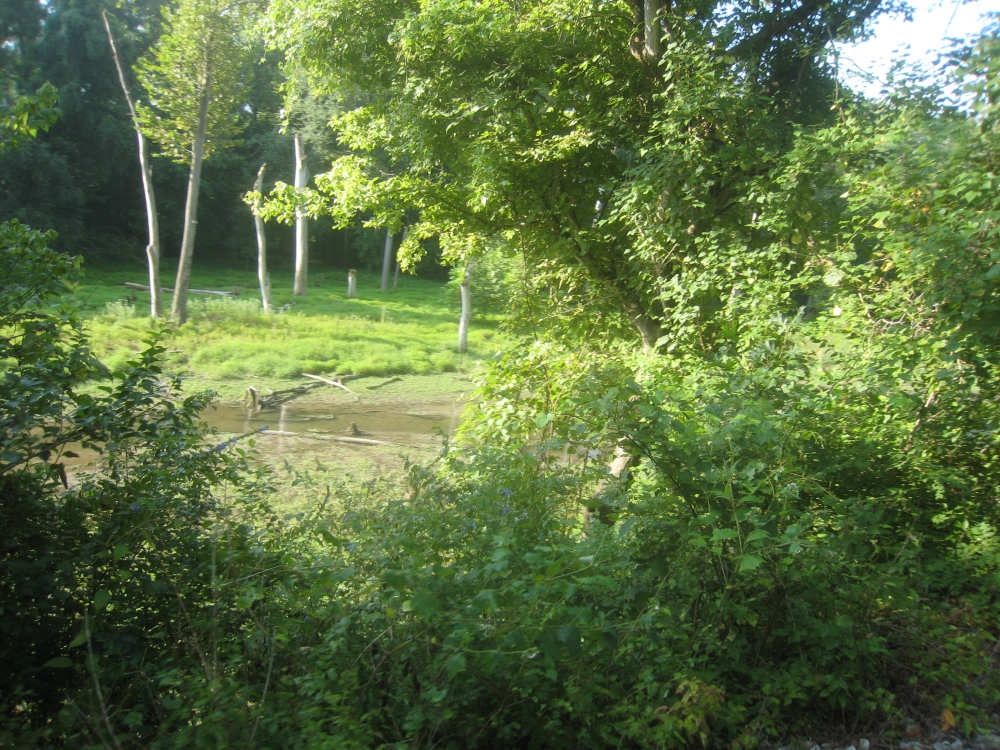
A wetland area through the trees, covered with green muck |
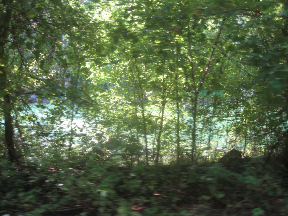
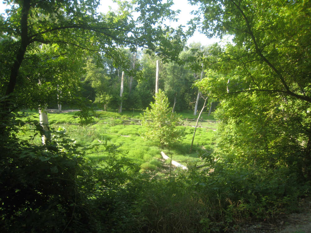
The same stream, cleaner and flowing here, in a wooded area... |
also strewn with dead trees and branches |
|
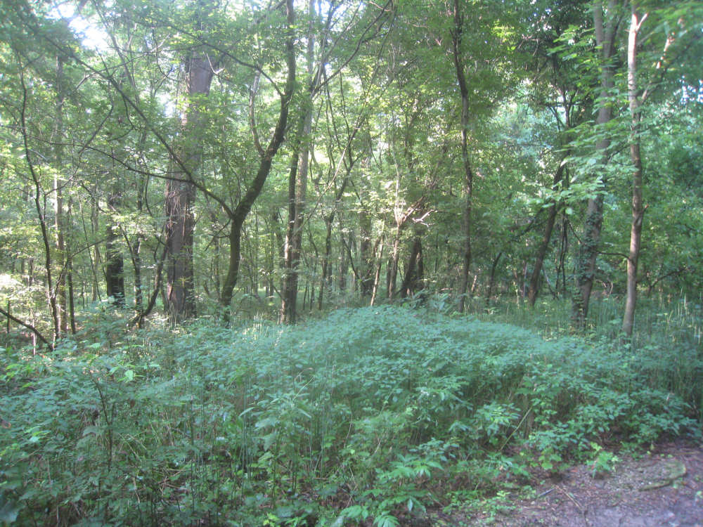
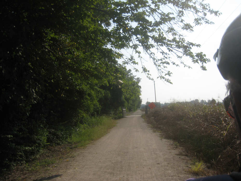
The bottomlands are more wooded here |

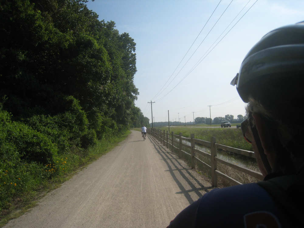
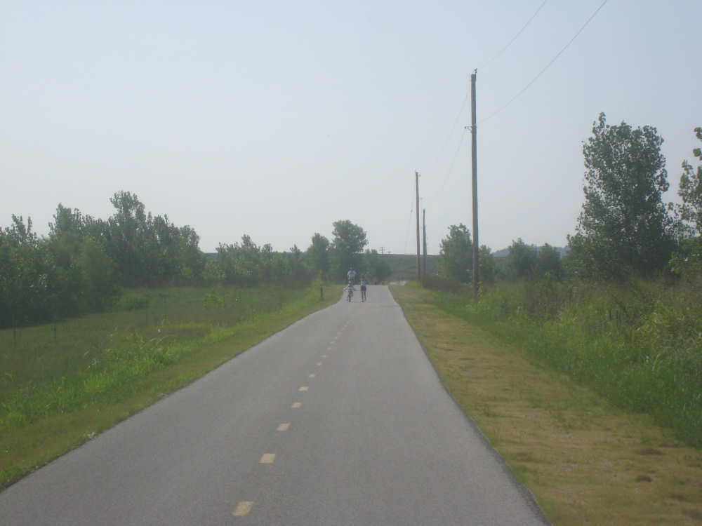
Cars nosed onto the trail near the Greens Bottom trailhead |
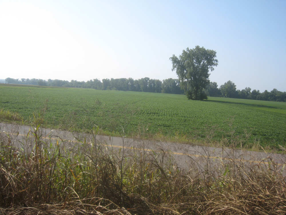
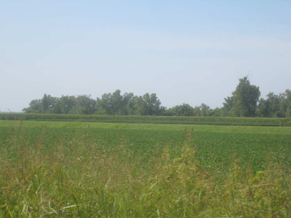
Crops on the far side of the paved road next to us |
A little bridge up ahead on the trail as we're getting close to the end |
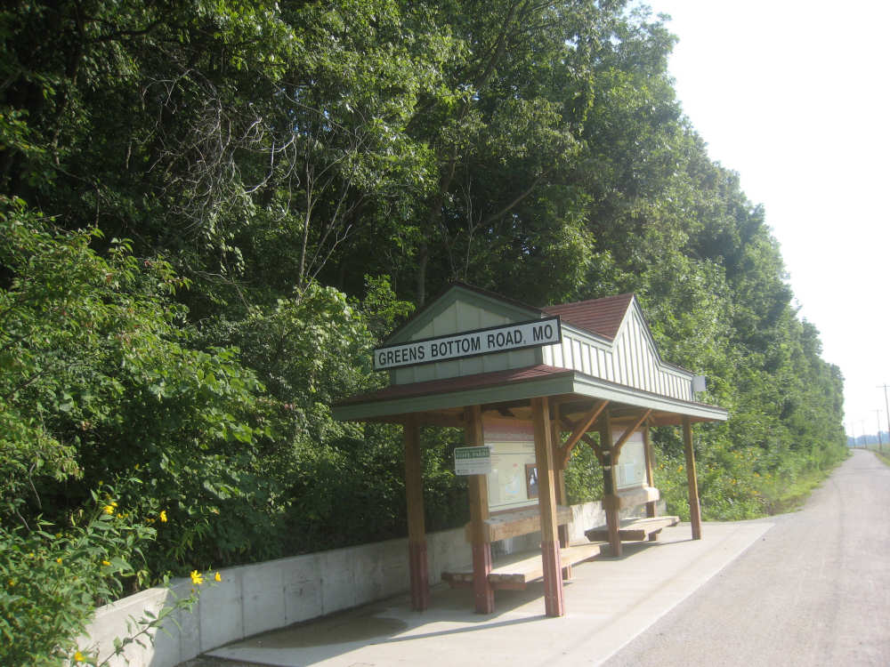
Our last trailhead |
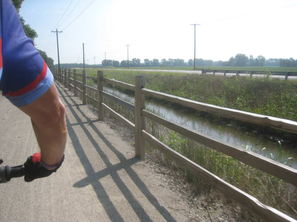
A nice fence separates us from the water-filled ditch and the road |
|
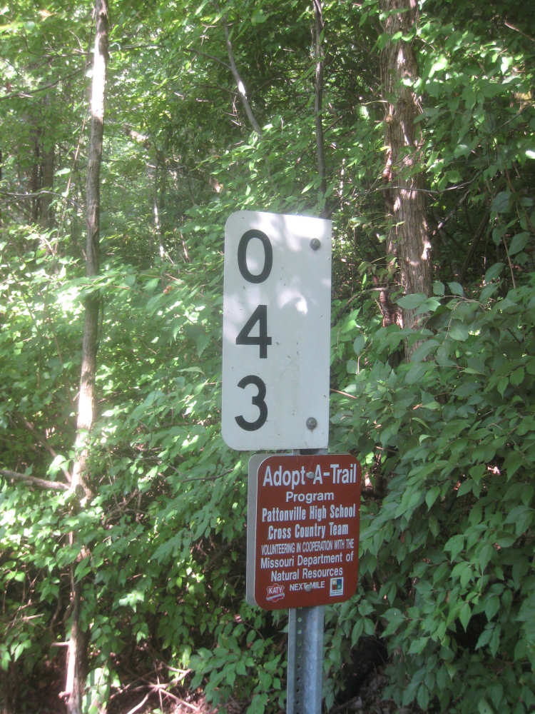
Our last mile marker on the trail... |
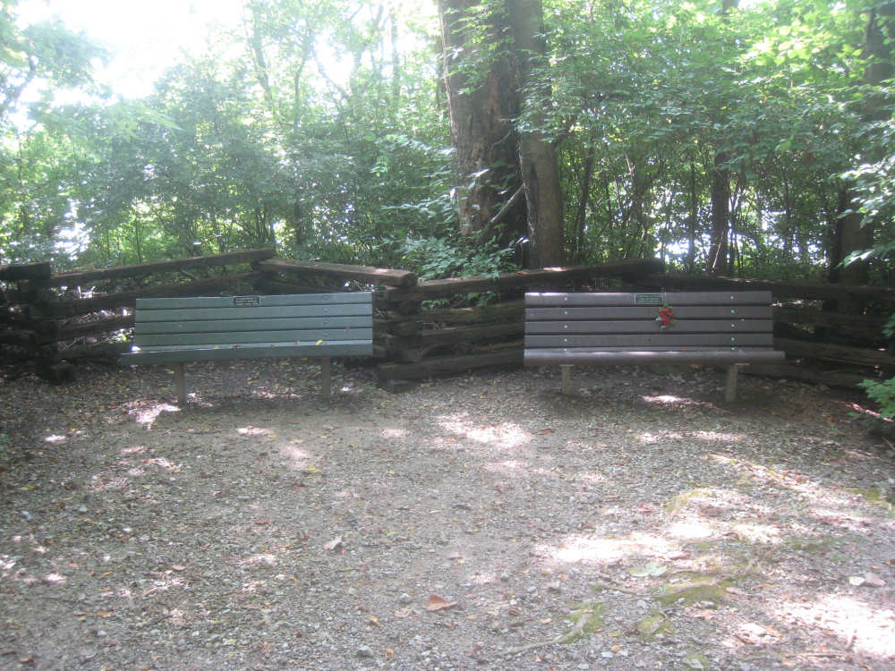
and the last benches we'll see on the trail |
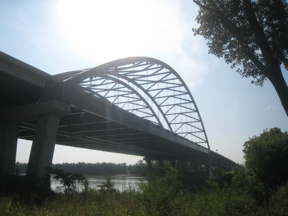
The bridge we'll cross is in sight |
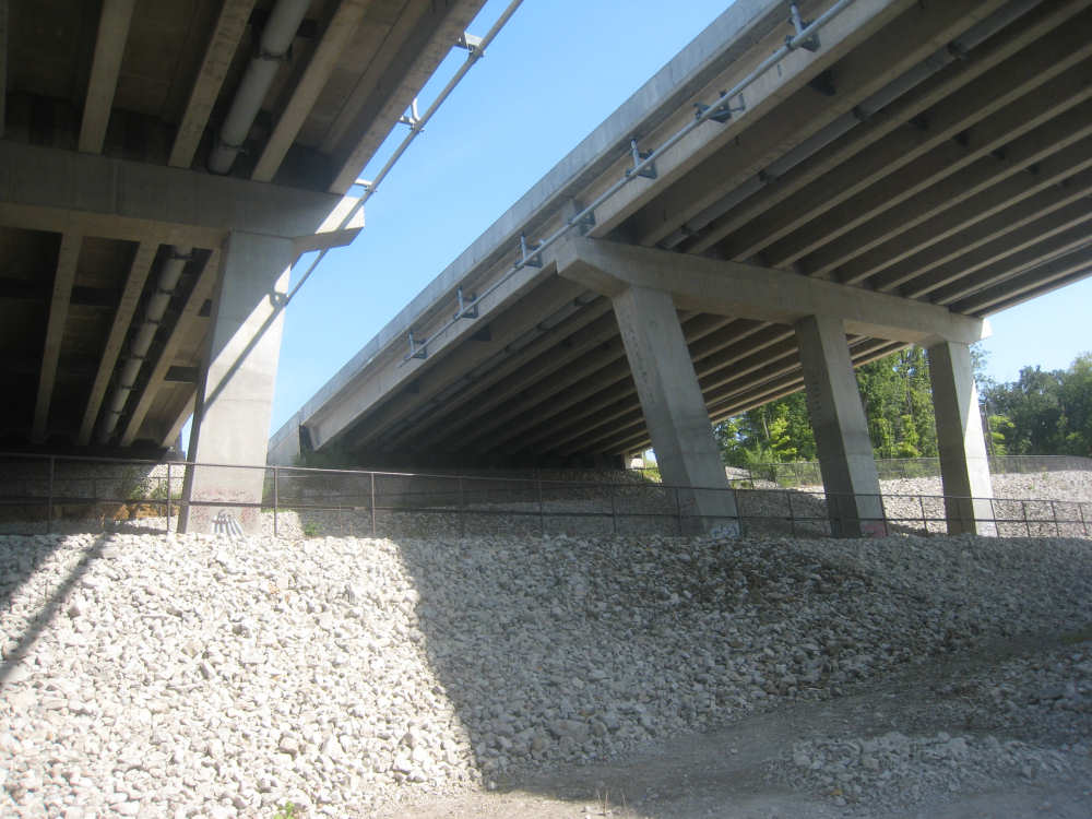
We pass underneath and will loop back above where the fence is |

Looking down from the third level up on the winding path up to the bridge |
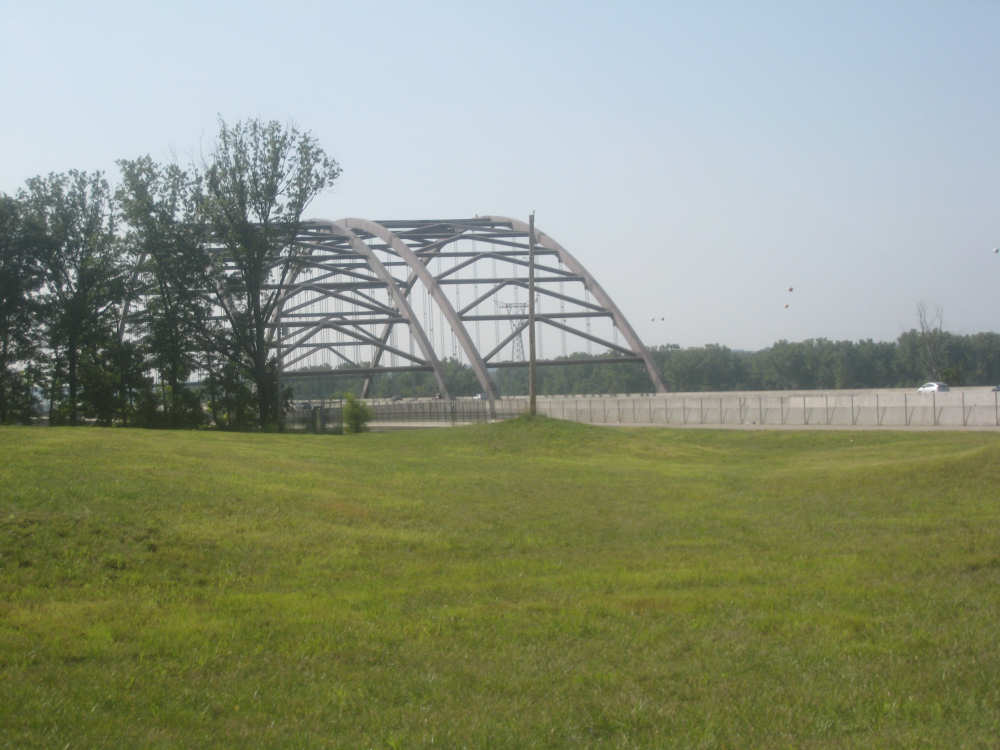
Finally at the bridge level... |
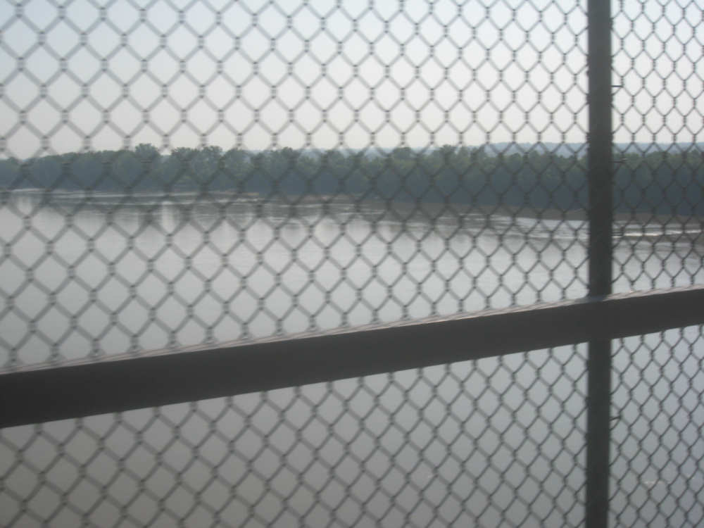
and over the Missouri River on the bridge |

|
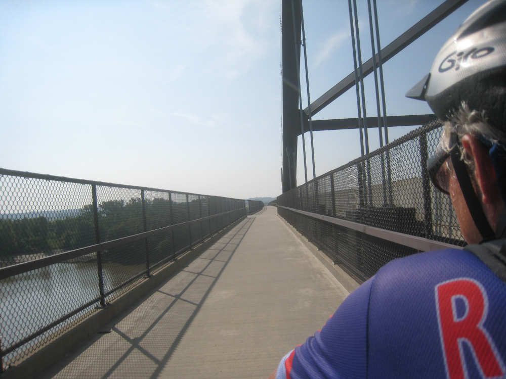
The bike path on the bridge |

The trail after the bridge... |
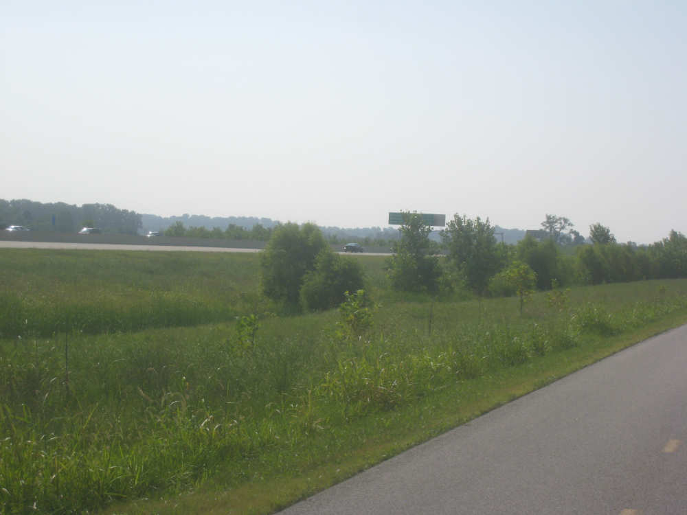
and the highway next to it |
Crops to our right |
A little girl on a bike with her mom jogging next to her, another bike behind |
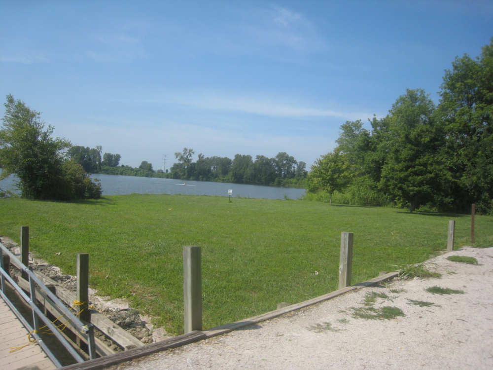
Someone sculling on the Creve Coeur Lake |
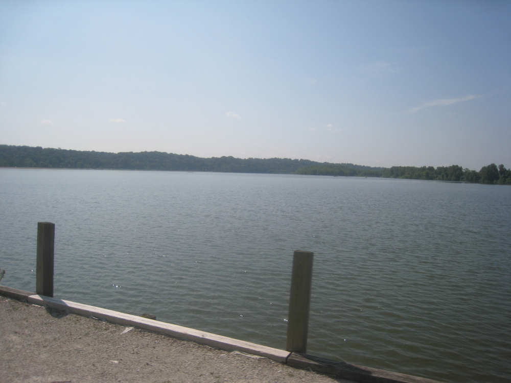
A view of the huge lake |
Parks and buildings in the Creve Coeur County Park |
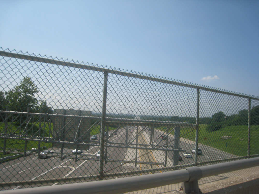
We cross over I-70 |

Control tower and runways at the International Airport |
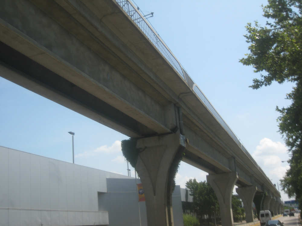
A rail system runs overhead |
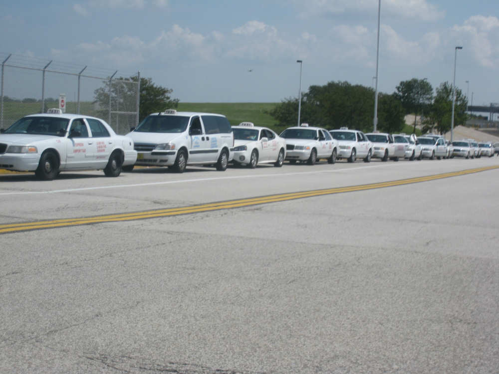
Taxis lined up as far as you could see... |
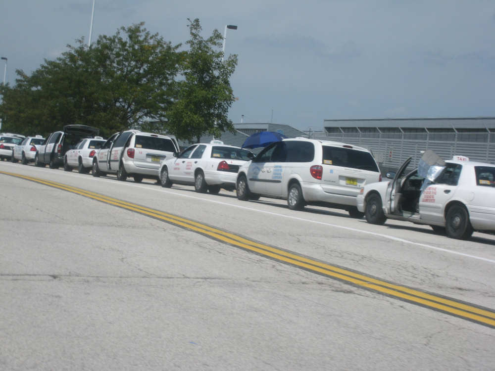
in both directions (note the smart guy with the parasol) |
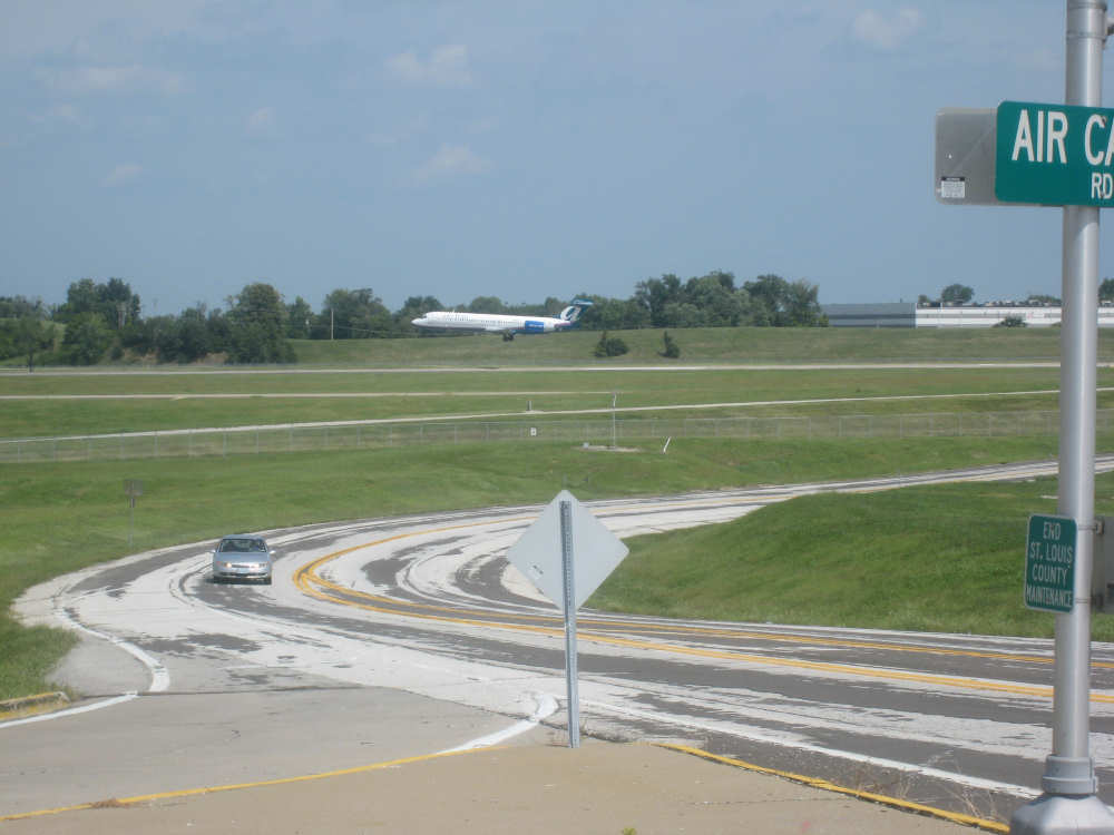
A plane lands at the airport |