Monday, August 25, 2008
Saint Louis, MO to Vandalia, IL
73 miles (8117 total miles)
Beautiful day today - the humidity was much lower and it was a little cooler than it's been. The wind was stronger than we expected, and was a headwind, naturally, so it slowed us down some, but at least it was much less hilly than Missouri had been. We started out with a short ride to the Chain of Rocks Bridge, a pedestrian/bike bridge over the Mississippi River. We were very lucky to run into another bicyclist going there as well. This was Mike, who makes this trip every day on his way to work. He asked us about our trip as we were biking over to the bridge and then led us to its entrance. When we got to the bridge, we found out it was closed. The sign by the bridge clearly stated it was open 1/2 hour before sunrise, and it was definitely well after sunrise at that point. Mike wasn't worried, though, and convinced us that it would not be a long wait. He also said that the alternative, going on the nearby 270 bridge, was "suicidal" - lots of traffic, especially trucks, and no shoulder. There was another bridge farther north, as well, but it didn't have the charm of this bridge. The Chain of Rocks Bridge is a restored Route 66 bridge and had several relics from that era, as well as a 1929 restored fire truck. The Chain of Rocks refers to a string of rocks across the Mississippi, referred to in the Lewis & Clark journals, that blocks navigation on the river. There is a canal alongside the river that boats and barges can use to get by this natural obstruction. While we waited for someone to come unlock the gate across the bridge, Mike whiled away the time telling us about the bridge and the Route 66 mementoes, and explaining how to get on the trail at the other end of the bridge. If he hadn't been there, we wouldn't have known that we should wait and might have taken our chances on 270.
Someone did finally come and open the gate and the bridge was delightful. It was especially nice that we could stop and take pictures without worrying about traffic. In the middle of the bridge, we crossed into Illinois, our 26th state! We didn't have a welcome sign, but the boundary was marked by old Route 66 signs, one from Missouri, and one from Illinois. At the end of the bridge, we were on Choteau Island and crossed the canal on another bridge, then went on a bike trail alongside the canal to get to the Lewis & Clark Park. Mike had zipped ahead by now so as not to be late for work so we were on our own now. We got to the end of the canal, where it rejoined the Mississippi, and we thought the park was just a little ways ahead so we continued along the trail. We saw what we thought was the Lewis & Clark monument, a beautiful structure that looked like one solid building when we first saw it, but turned out to be 2 towers joined together by little bridges when we saw it from the side. It was out in the middle of a field, though, apparently not complete yet, or at least not open. We soon saw from our GPS that we had gone past the access to the river where we had hoped to see the confluence of the Missouri and the Mississippi, but we hadn't seen anyway to get to the river since we left the canal. We retraced our steps until we were almost back to the canal when we saw another guy on a bike who confirmed that the only river access he knew of was at the Chain of Rocks bridge and then about 4-5 miles north of there. That was very disappointing and we went on our way, having already taken much more time than we expected there. It occurred to us later that we actually had seen the confluence right where the canal joined the Mississippi, and checking our maps tonight confirmed that. It certainly wasn't as impressive as we had imagined, but that point was the last time we saw the two mighty rivers.
We passed through a few towns on the rest of today's journey, as well as several crop fields, mostly corn and soybeans, as usual. Our first town was Edwardsville, the county seat of Madison County and home of a huge Southern Illinois University campus. We passed the campus four miles before we came to the town. The town was very elegant and quaint, clearly a university town in its abundance of eating places and quirky shops. We had lunch at a nice place across from the county courthouse and administration building, both very impressive structures. Our next town was Hamel, a much smaller town, but with the distinction of being on the legendary Route 66, something they touted at every turn. We went through another small town, Alhambra, and then skirted the edge of a larger town, Greenville. Tree farms and nurseries seemed to be a thriving business along the route. We spent most of the day on two-lane roads, mostly without shoulders but in good repair. Some of the roads had a fair bit of traffic, but the Illinois drivers have been just as courteous as we've experienced in each other state, giving us a wide berth as they passed and slowing down behind us when it wasn't safe to pass. We ended the day on Rt. 40, parallel and close to I-70, which was a noisy road with a lot of trucks on it. This meant that most of the traffic was on I-70, which was a very good thing for us.
It was a long day - we started at 8 this morning and arrived at our motel in Vandalia at 6. We did a little over 73 miles in 7 hours and 20 minutes, not bad considering the headwind. Our motel had a restaurant right next door, which makes life so much easier for us - and they open at 6 for breakfast! Tomorrow's another long day and we'll have another east wind, but it will also be fairly flat.
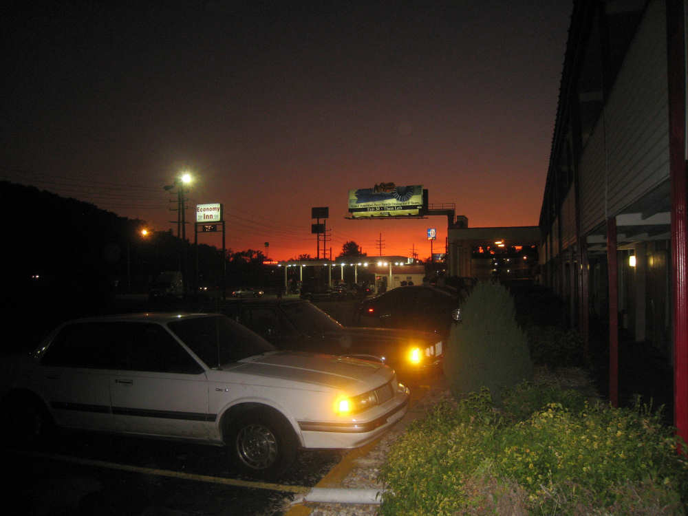
Last night's sunset in front of our motel in St. Louis |
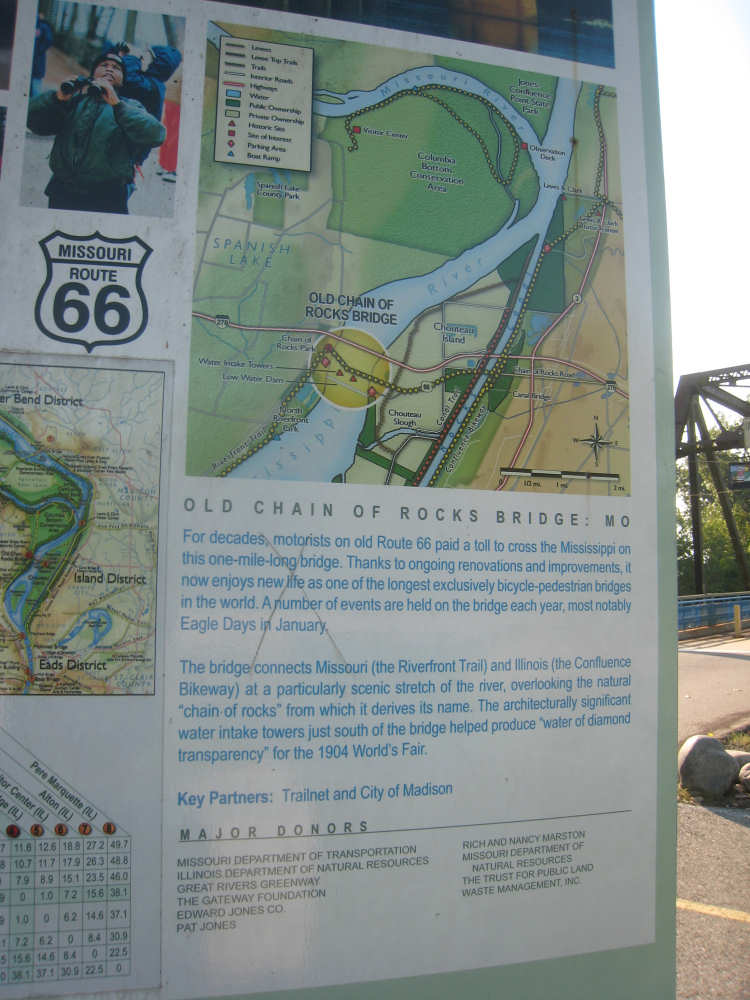
A sign at the Chain of Rocks bridge entrance |
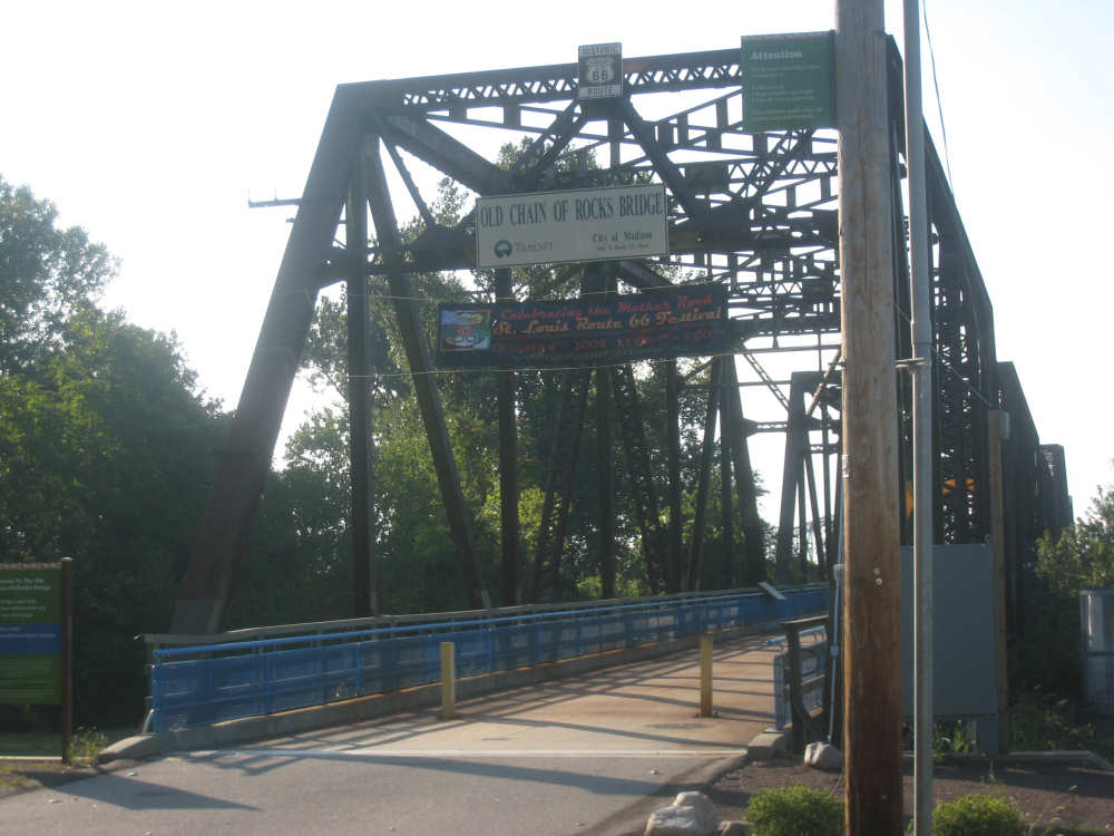
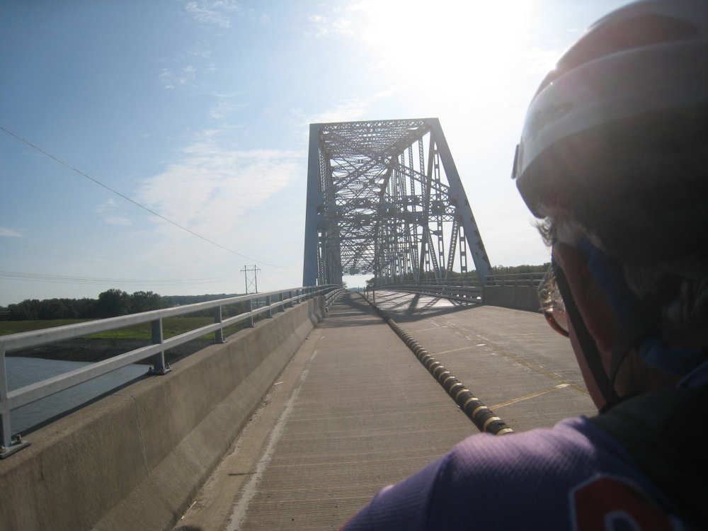
The entrance to the bridge |
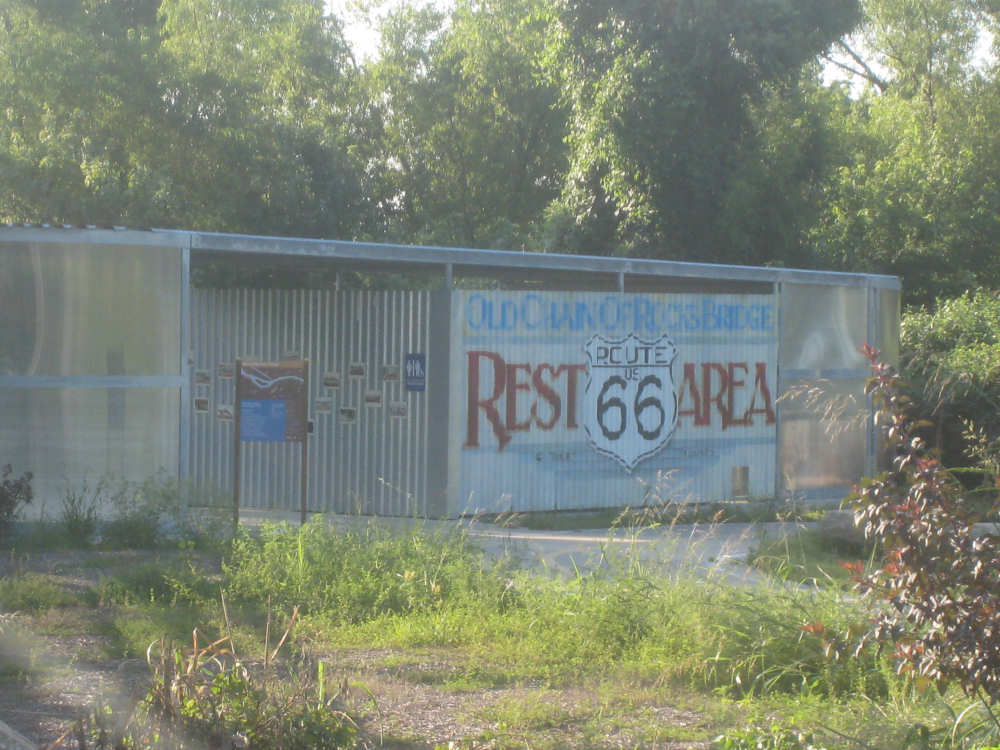
A restored Chain of Rocks rest area next to the bridge |
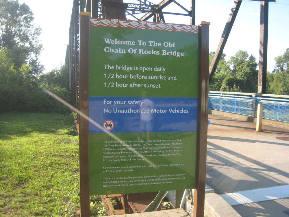
The sign explaining the hours the bridge is open |
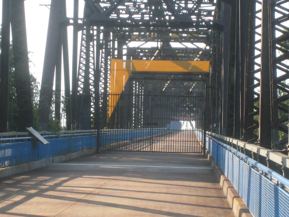
The clearly-closed bridge entrance |

Pat and Mike, our Chain of Rocks expert |

We could dimly see downtown St. Louis from the bridge - the famous arch is on the left |
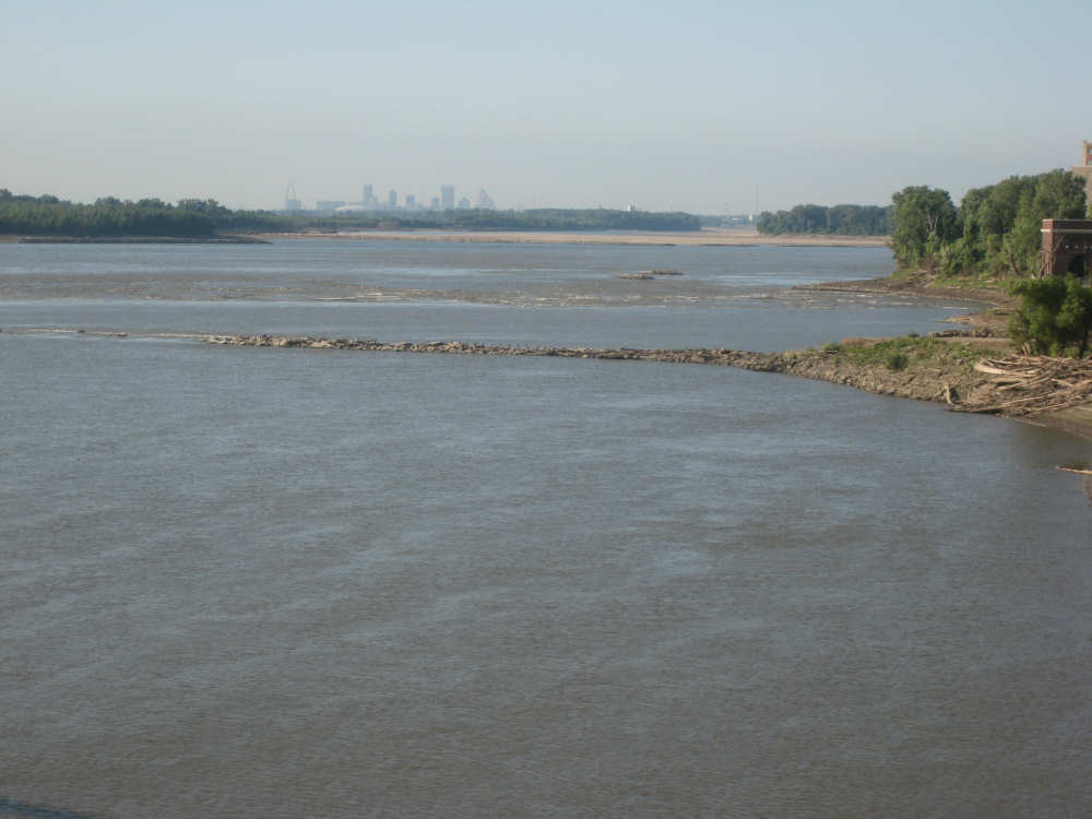
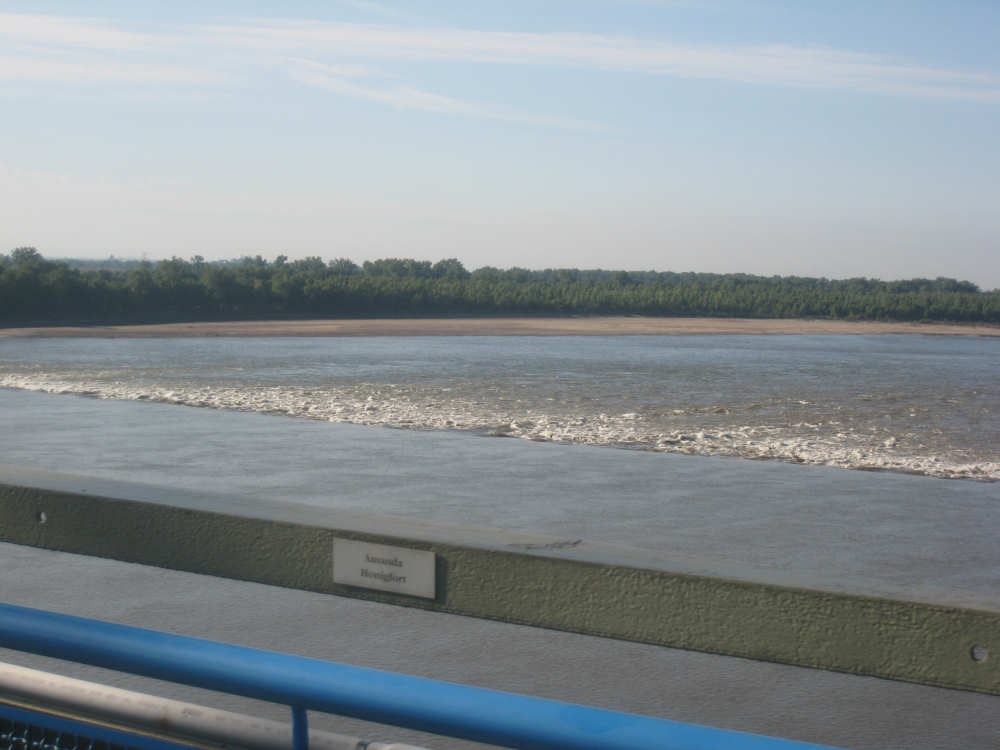
The Mississippi River, with one end of the chain of rocks |
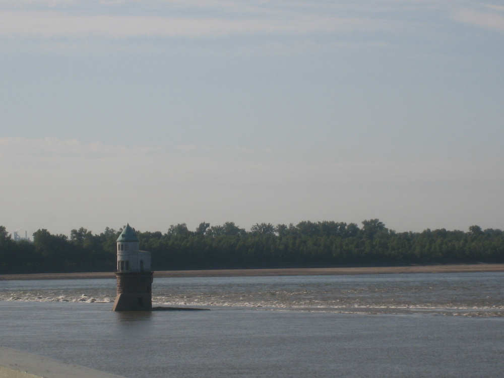
A quaint water intake pump station and more of the chain of rocks behind it |
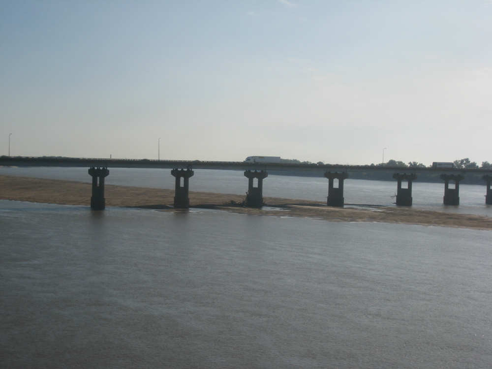
The 270 bridge upstream from us; the river's water level is clearly very low |
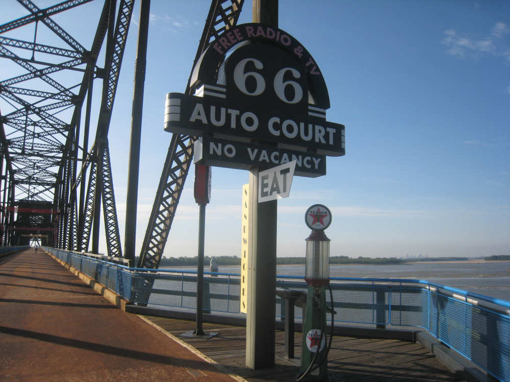
A restored Route 66 gas/food/lodging stop on the bridge |
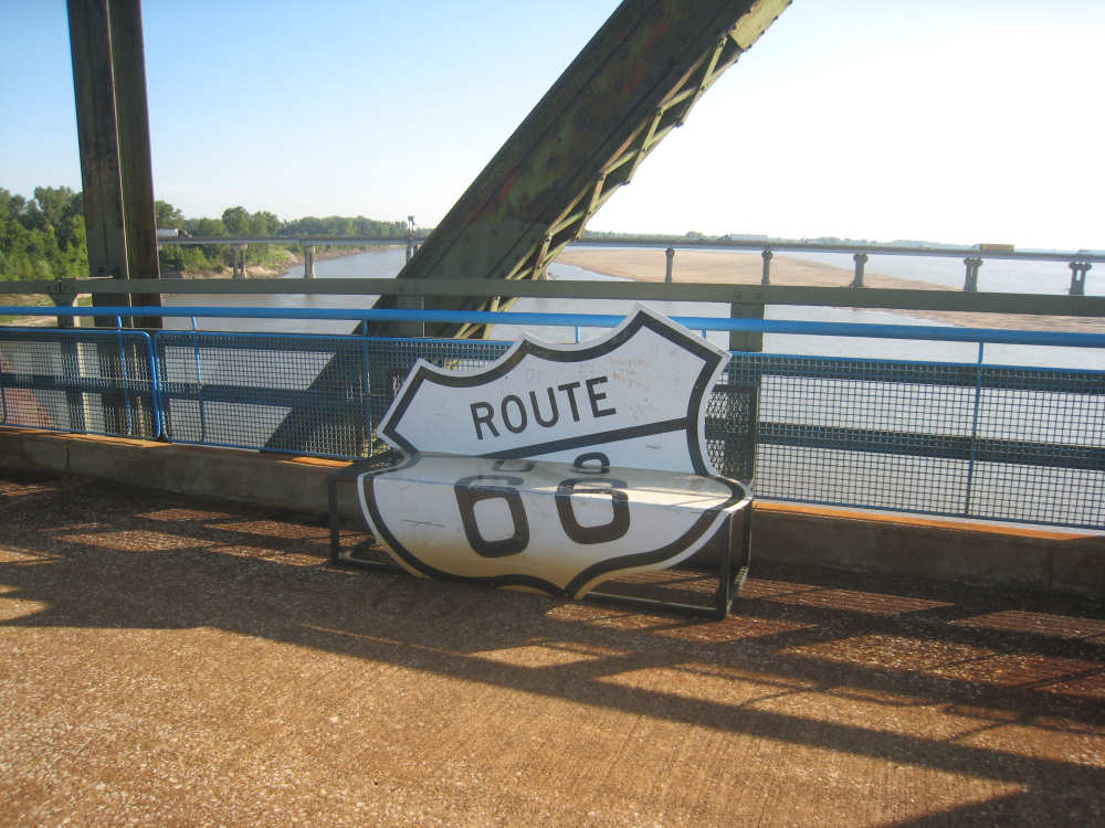
An old highway sign fashioned into a bench |
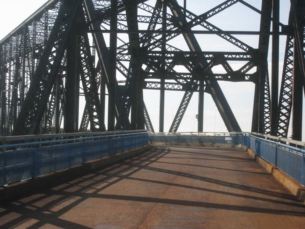
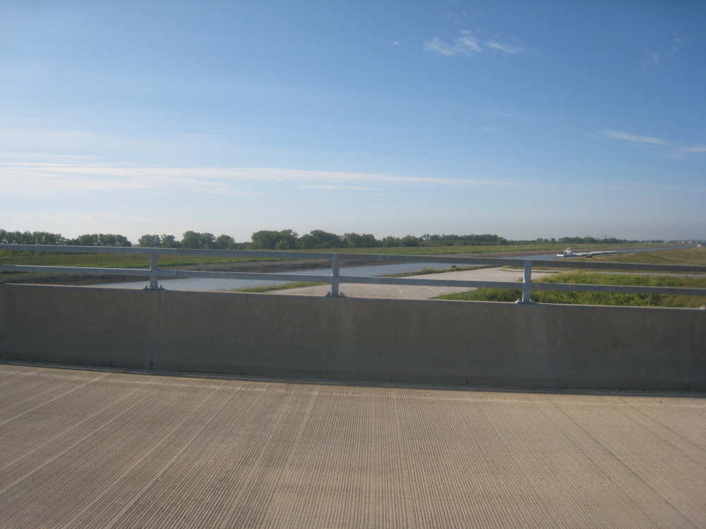
A bend in the bridge |
More of the chain of rocks |

Trucks going over the 270 bridge |

Another water pump station (Pat wondered how one got out to them) |
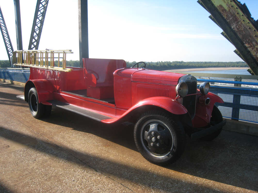
The restored 1929 fire truck |
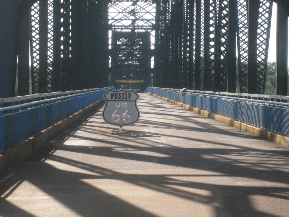
The Missouri state line... |
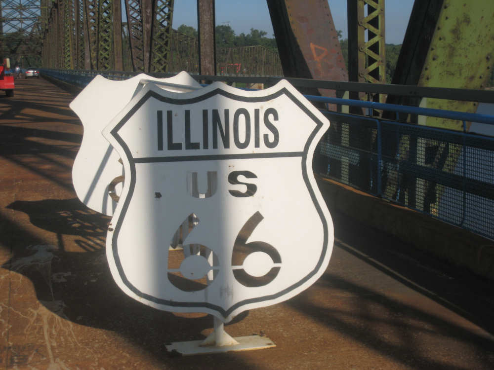
and the Illinois state line; there was a bike rack between the 2 signs |

The trail after the bridge... |

on Choteau Island |
The canal, downstream - the long white thing in the canal is a barge |
The bridge over the canal - the bike lane was on the left |
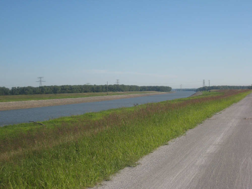
The canal and the gravel bike path next to it |

The end of the canal and the confluence of the Missouri and Mississippi rivers |
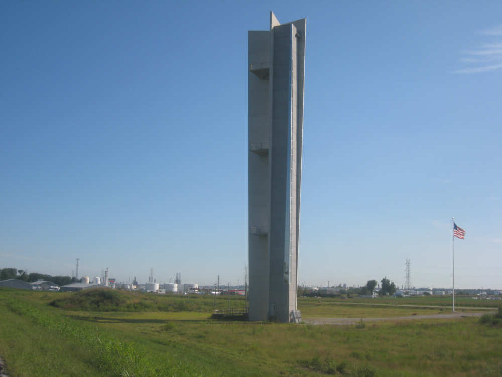
The Lewis & Clark monument, from one side... |
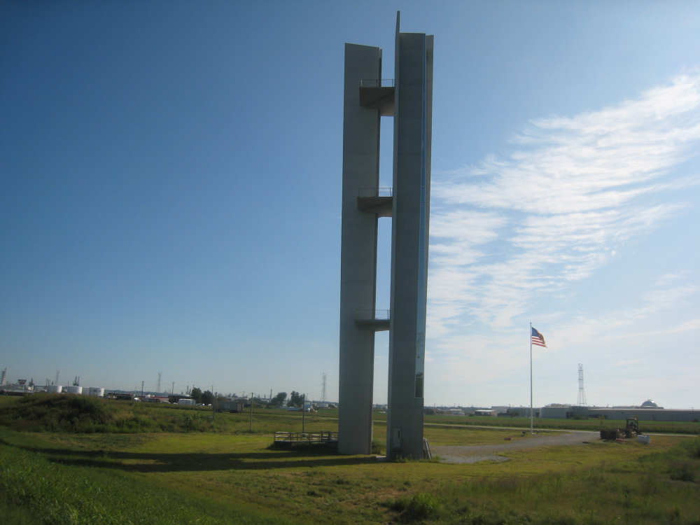
and from another side - a very different looking building |
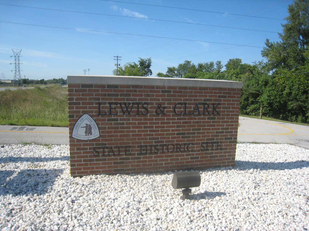
The sign into the park - our last goodbye to the Lewis & Clark trail |
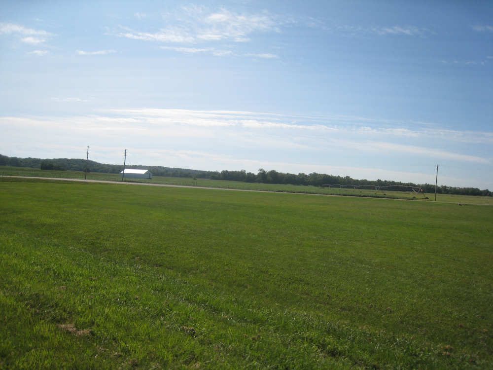
Illinois farm fields |
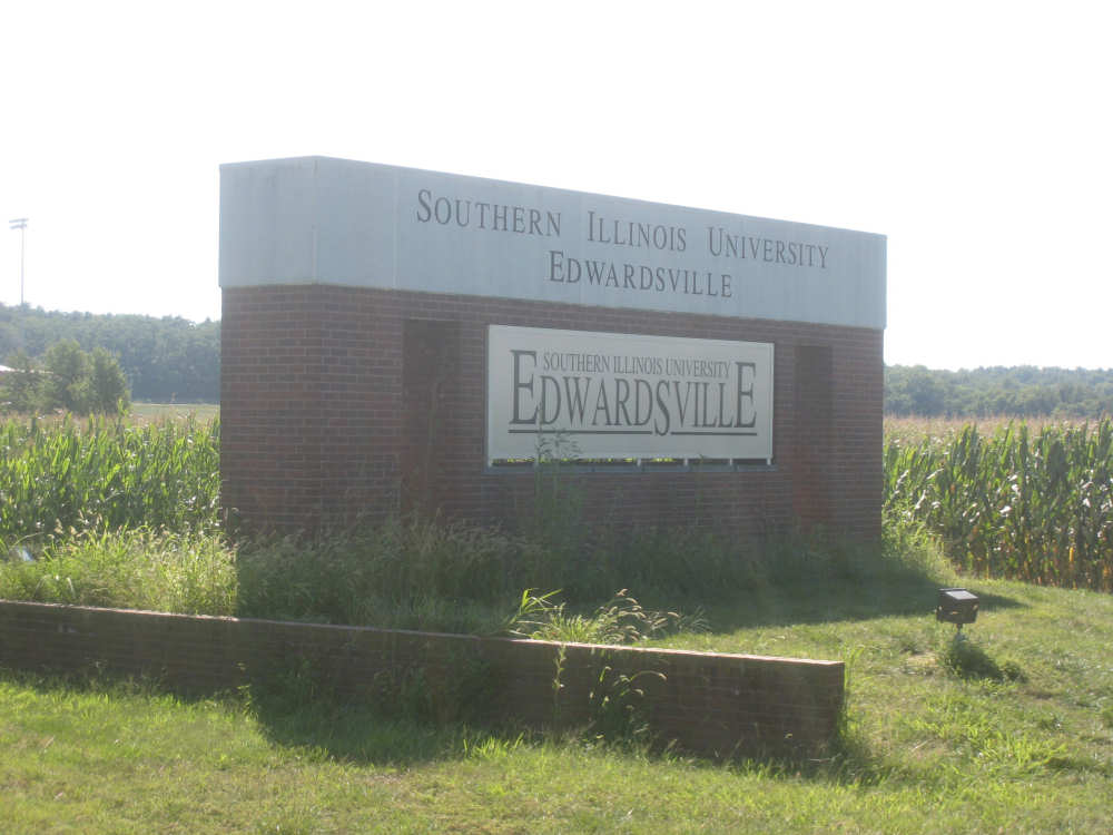
The first of many SIU Edwardsville signs |
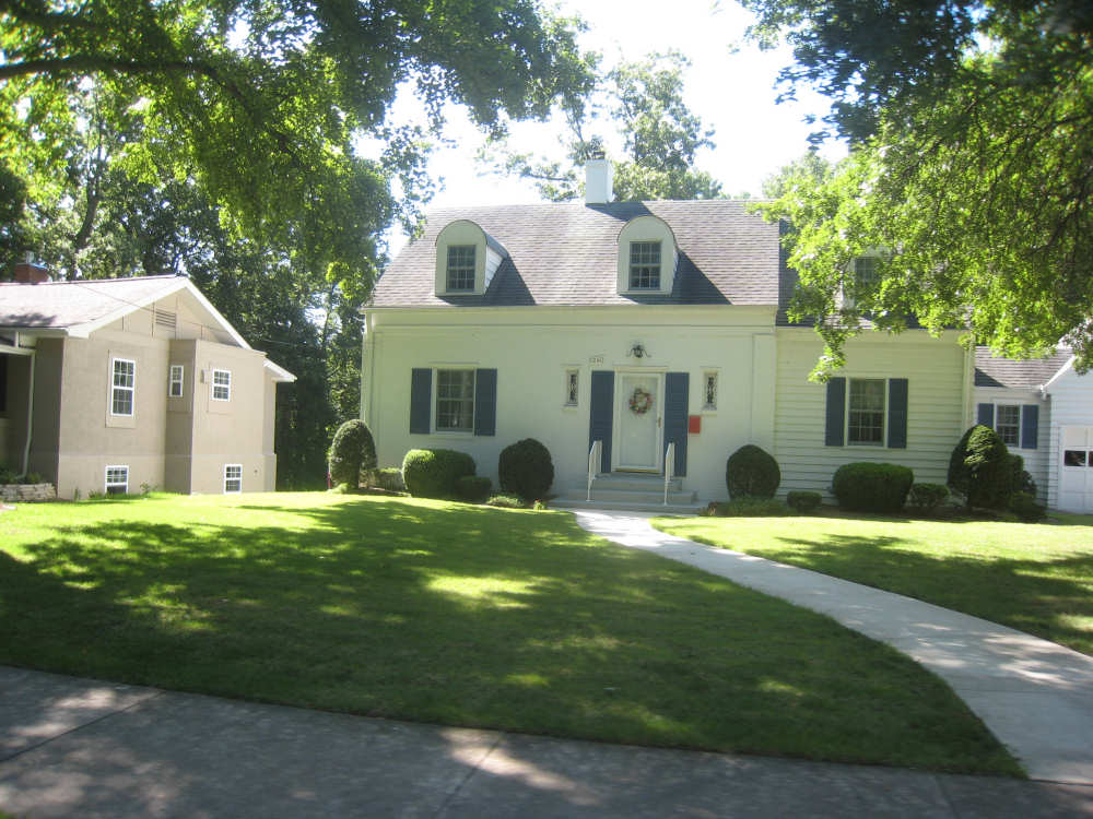
Elegant houses in Edwardsville |
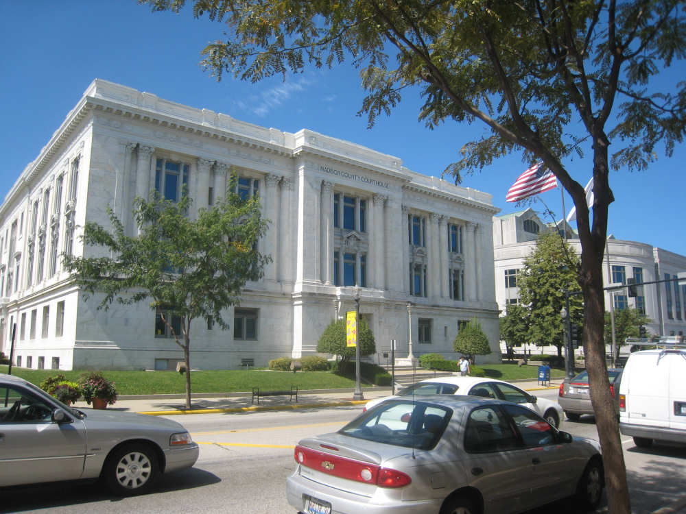
The Madison County Court House, and the Administration Building next to it |
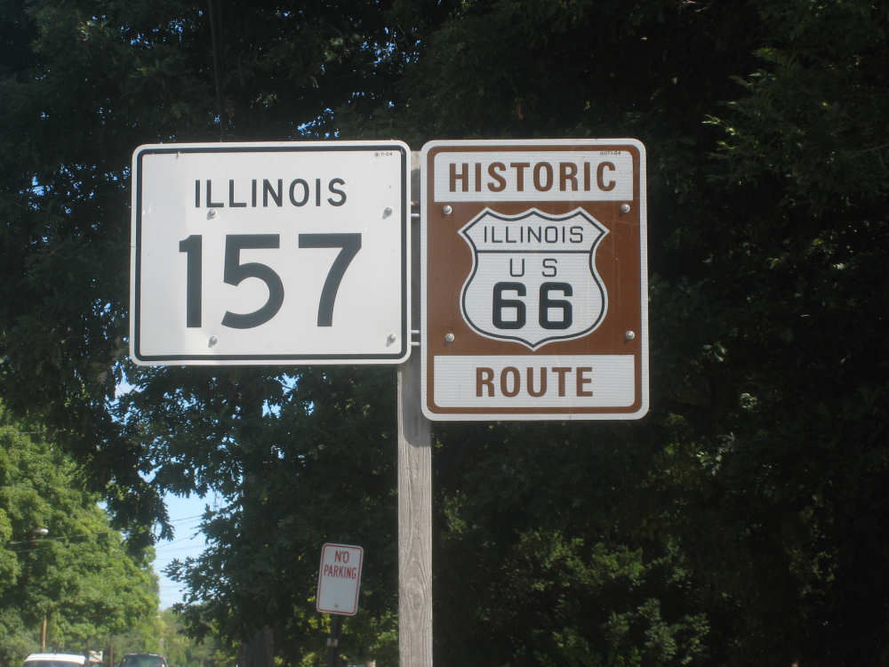
We get onto Rt. 157 - the historic Rt. 66 |

Scenes from Route 66 - traffic... |

farms... |
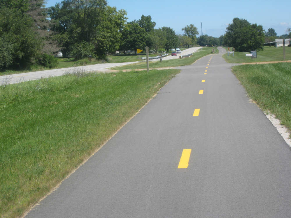
a nice bike path along the road... |

and a welcome sign for the town of Hamel |

Another sign with words from the old Route 66 song |
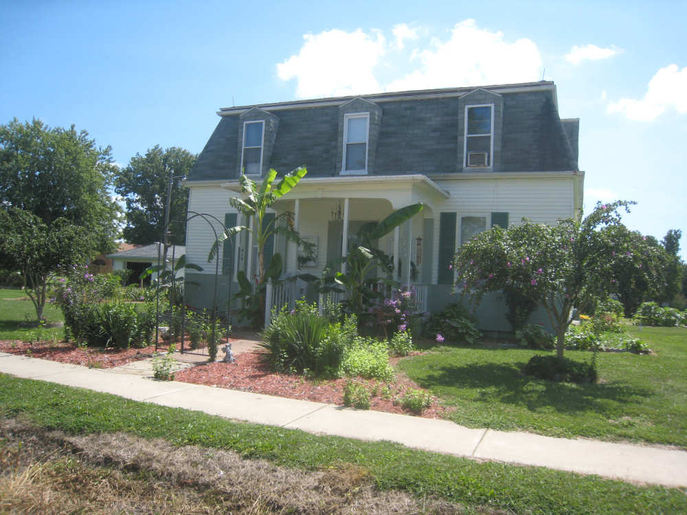
House with a garden in Hamel |
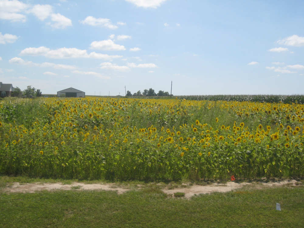
Sunflowers! |
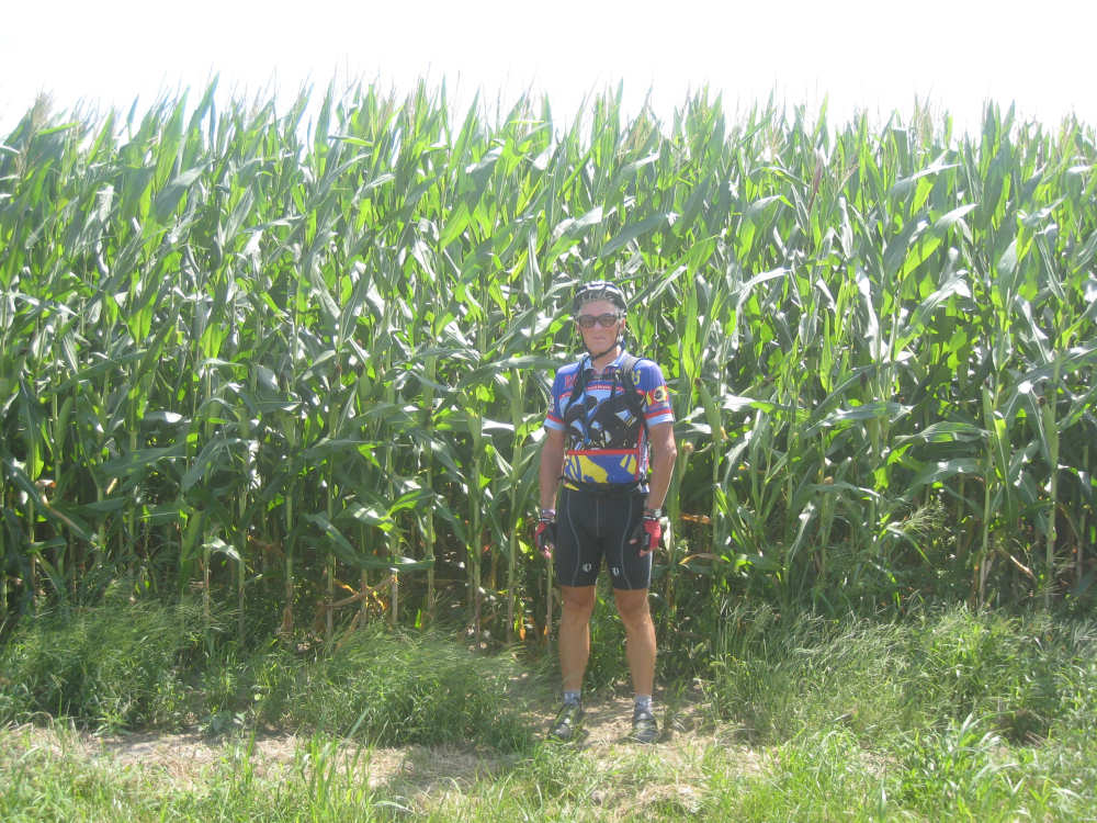
Pat stands by a field of very tall corn |

An unexpected wooded area |
There were some hills coming into Greenville |
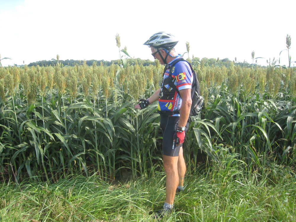
A field of very short corn (?) with no ears and huge tassels... |
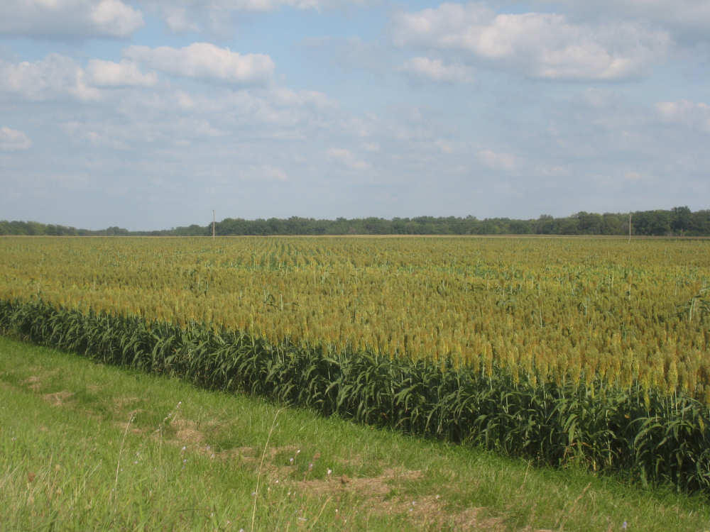
a very BIG field of them |
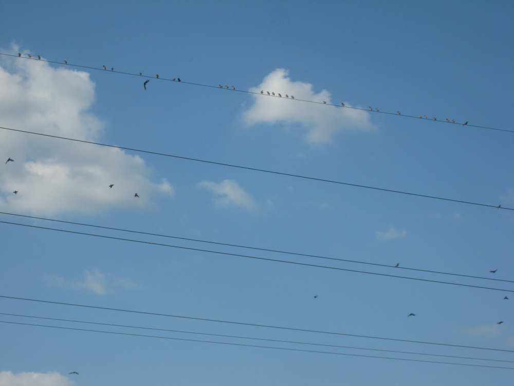
Wires were lined with hundreds of little birds that all took off in a big swarm |

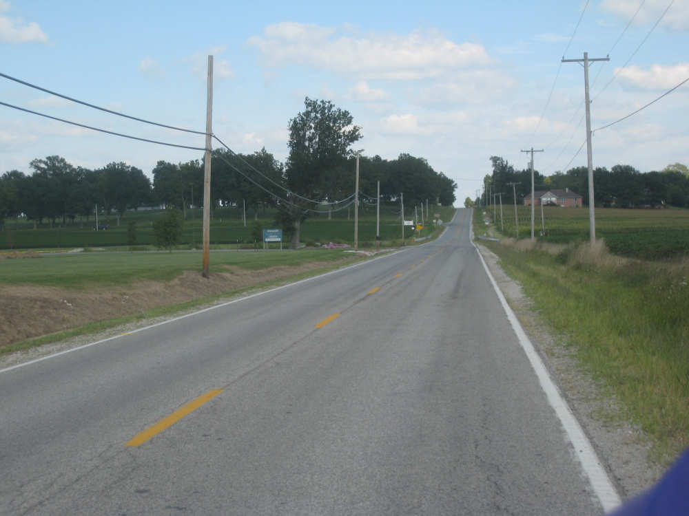
Route 40 |

The Vandalia water tower |
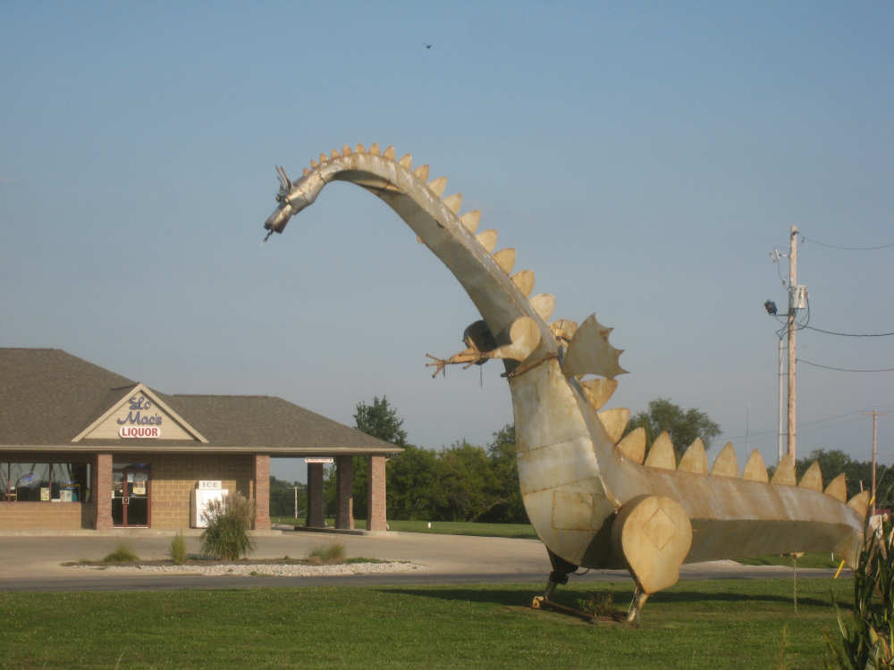
A cute dragon greets us in Vandalia |
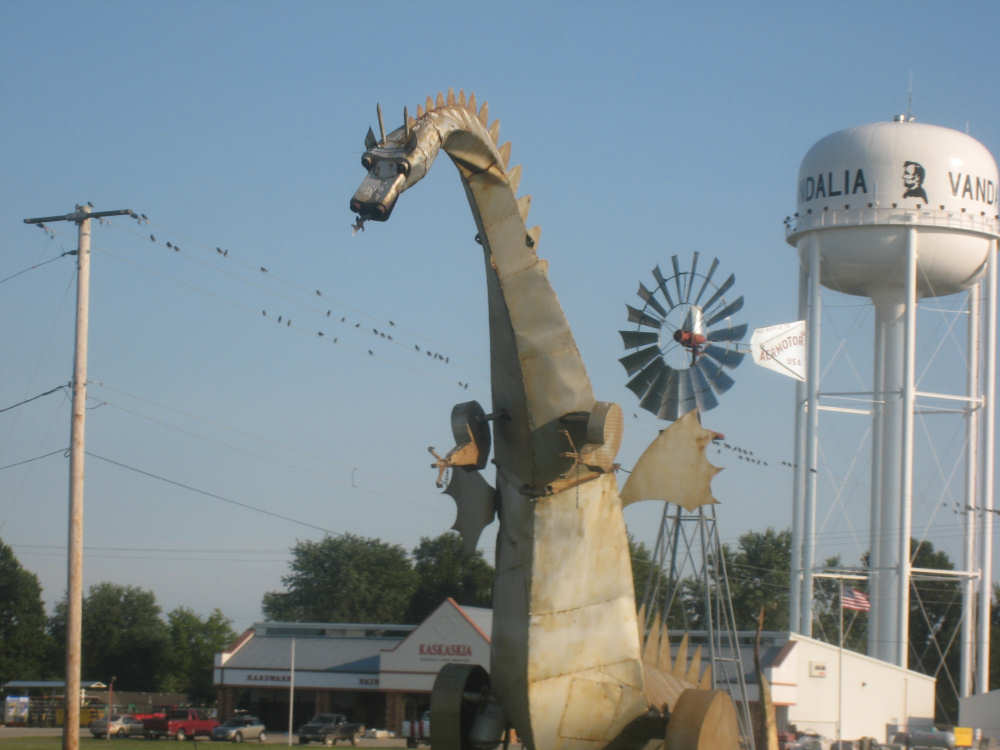
Such a cute face! |