Friday, July 04, 2008
Clarkston, WA to Craigmont, ID
47 miles (5621 total miles)
We're having some trouble with our internet access. We thought we wouldn't have any access, because Verizon doesn't seem to work around here, and cell phone coverage of any kind is spotty in these parts, but our B&B has a wi-fi connection and we're using that. Let it be duly noted that our coverage this week could be somewhat sparse, so our daily pages could be slow in coming.
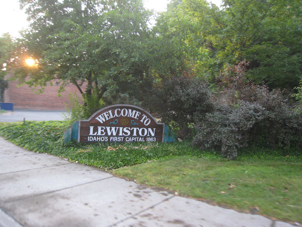
Idaho! Our 18th state! We came across the Snake River into Lewiston, ID, one mile away from Clarkston. It was another long day of climbing - we went from an elevation of about 700 feet to 4100, all in a fairly gradual, smooth climb that started early and got increasingly steeper. We left our motel at 5:50, wanting to get an early start and beat the bad weather that was predicted for the day. We knew there would be few places to eat today, particularly in the morning, and especially because it was the 4th of July, but we'd heard there was a great waffle house in Lewiston so we headed for it. The place was a mile off our route (which meant adding 2 miles), but a good breakfast on a tough day seemed worth it. It turned out the place didn't open until 6:30 - we got there at 6:10 - so we wandered around Lewiston a bit without finding anything else appealing (i.e., nothing but McDonald's and Jack-in-the-Box was open), so we went back and waited, thinking the day was not getting off to a good start. However, as we were sitting at breakfast, it occurred to us that we could take advantage of our being off route and change the route accordingly, getting onto US 95 directly instead of heading south and then east to get to it much later. This change of route had two attractive features - it would be shorter and less hilly. Didn't take much time to get that vote passed.
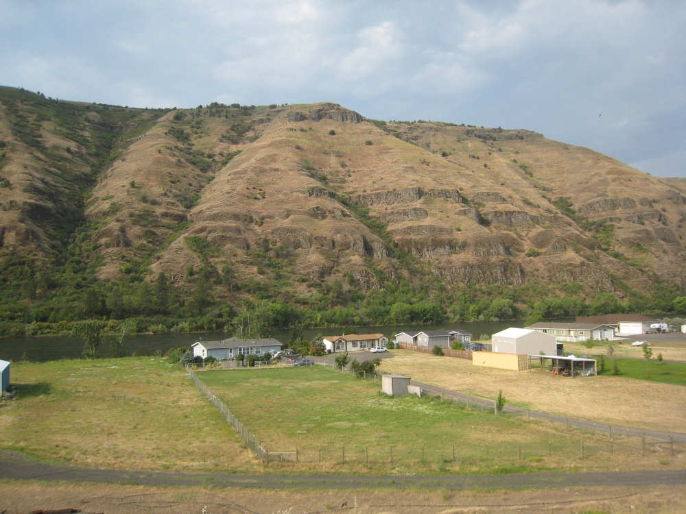
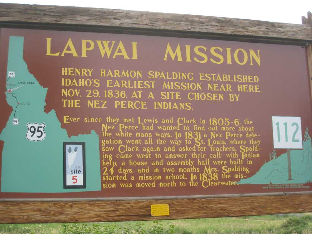
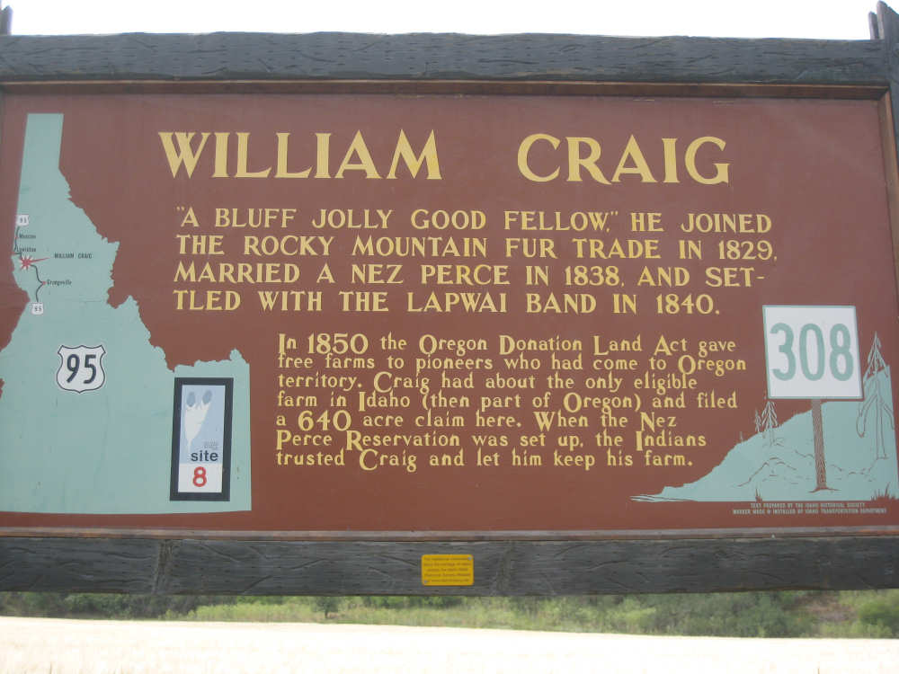
Instead of going down the Snake River for about 6 miles, 95 took us along the lovely Clearwater River for about 15. The Clearwater was a fairly wide and fast-moving river. It had one large indurstial plant along it, near Lewiston, but after that, it was bordered by the beautiful hills we've been seeing of late. We entered the Nez Perce Indian Reservation early on and stayed in it all day (as we will tomorrow as well). The Nez Perce tribe was very helpful to the Lewis & Clark corps and apparently developed a very good relationship with them. There were several historic plaques along the road (right where we like them), so we have many pictures of them to share with you. While we were stopped at one of them, we saw another touring couple coming toward us. They were Sandra and Sebastian from Holland and had done several others bike tours in the States, including the Adventure Cycling Trans-America route. This time they were just doing a 4-week tour of part of the Pacific Coast and part of the Lewis & Clark.
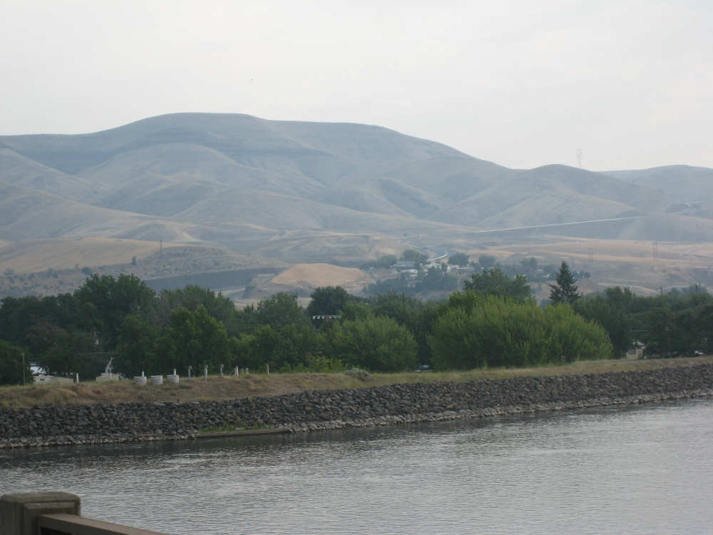
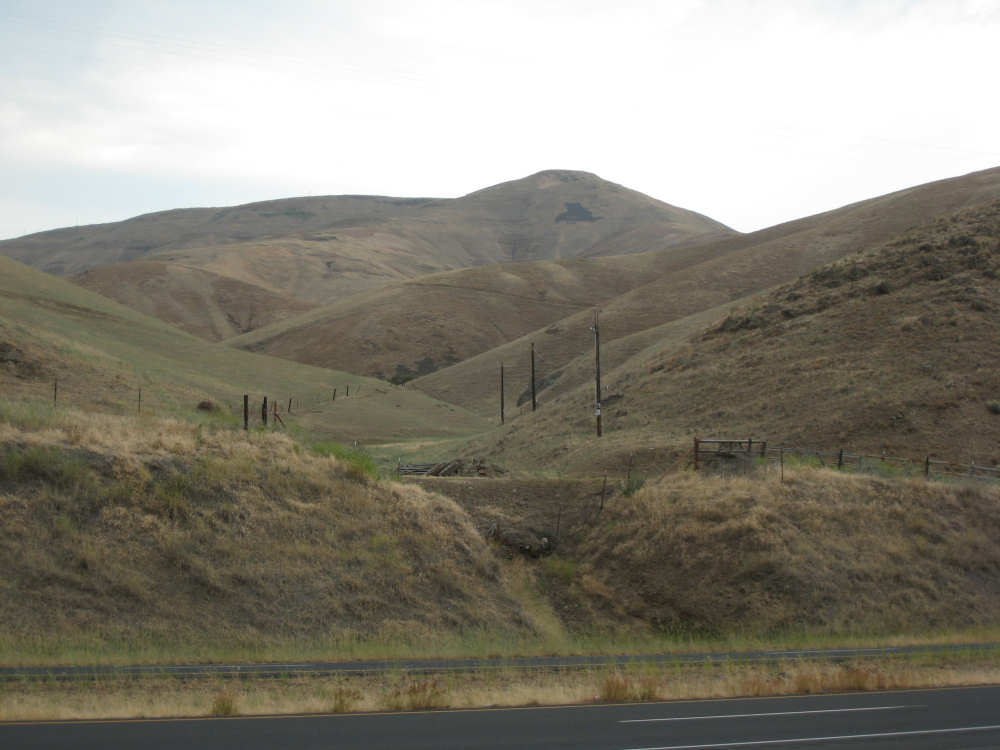
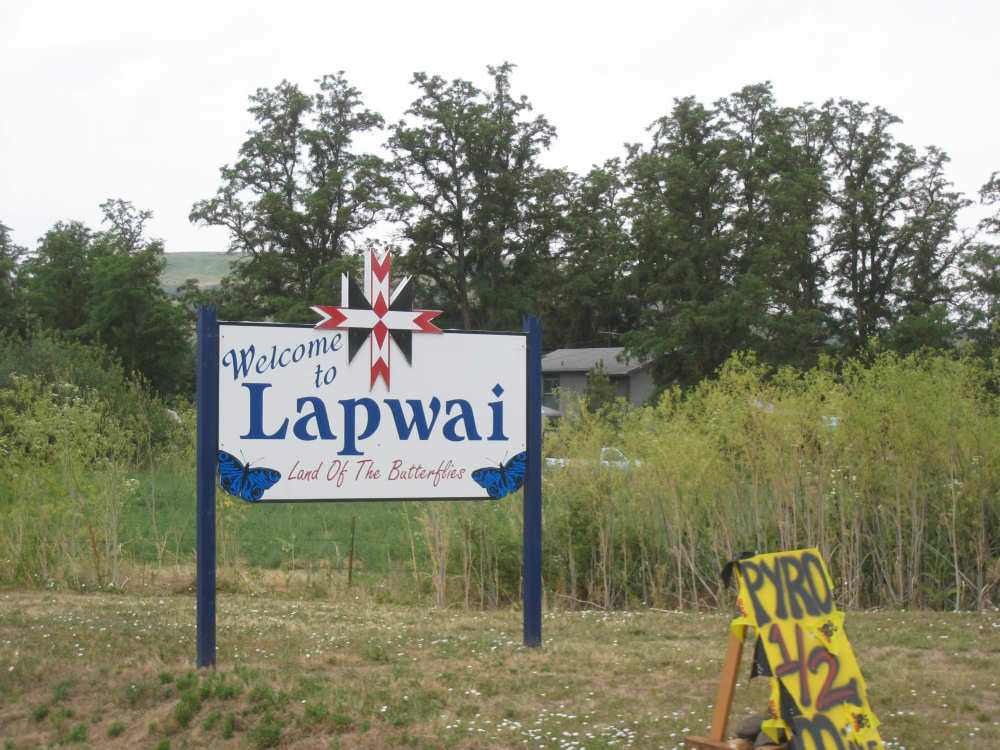
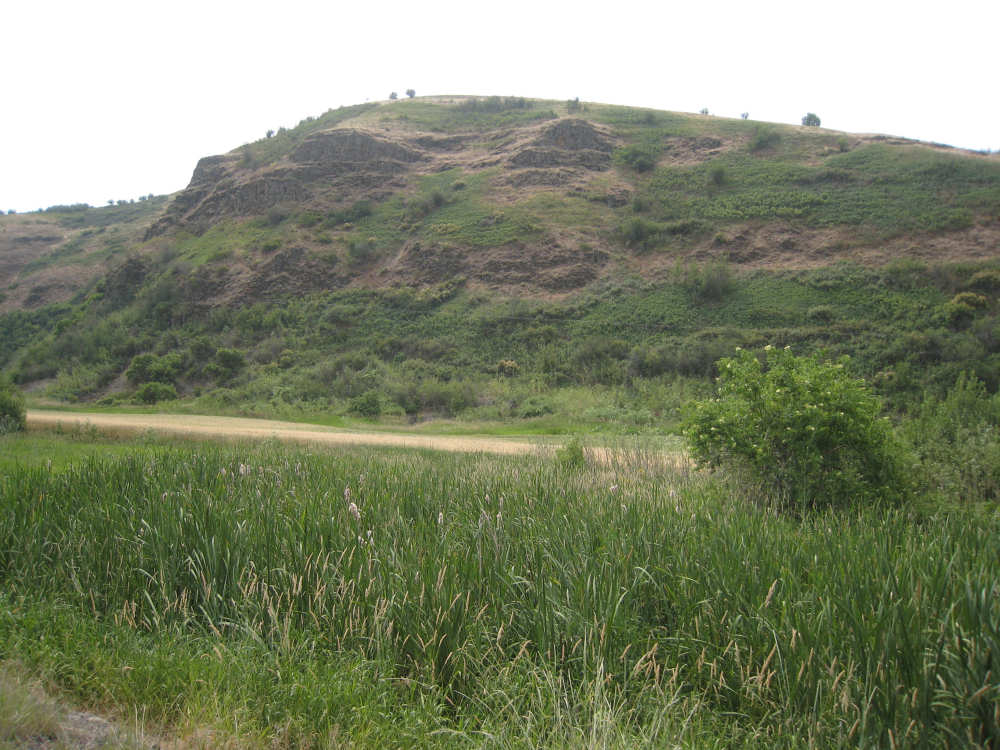
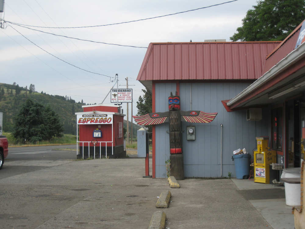
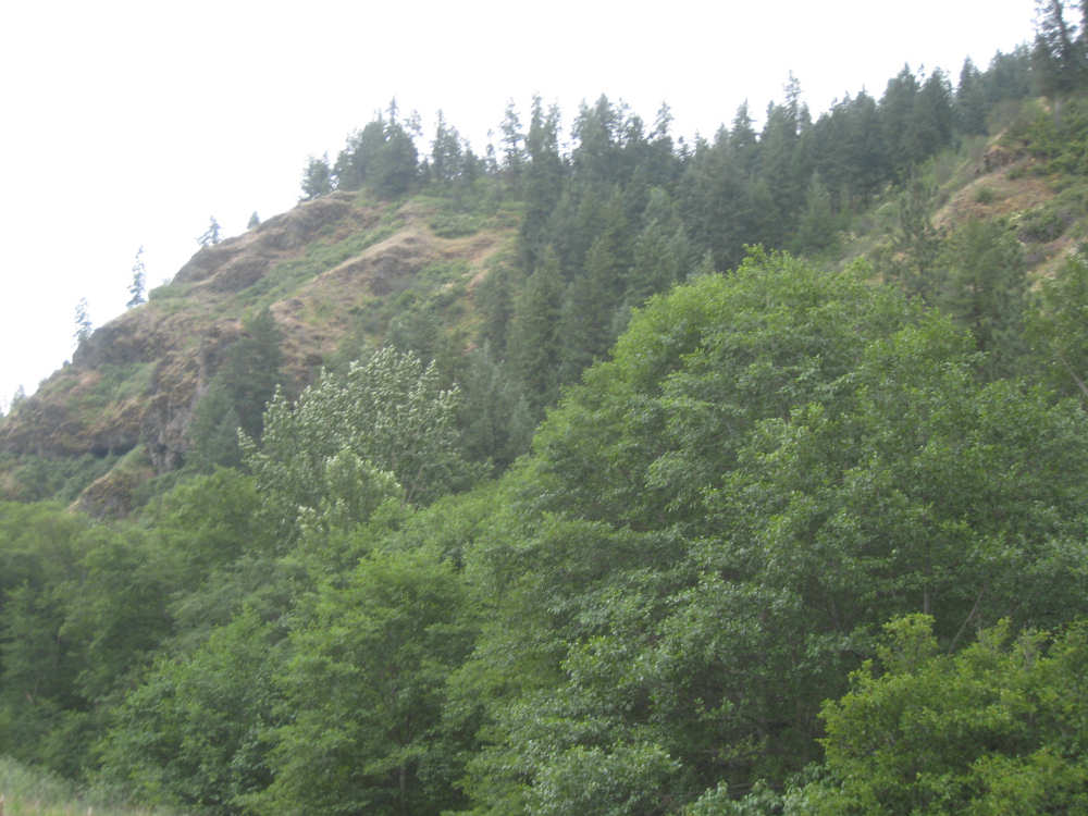
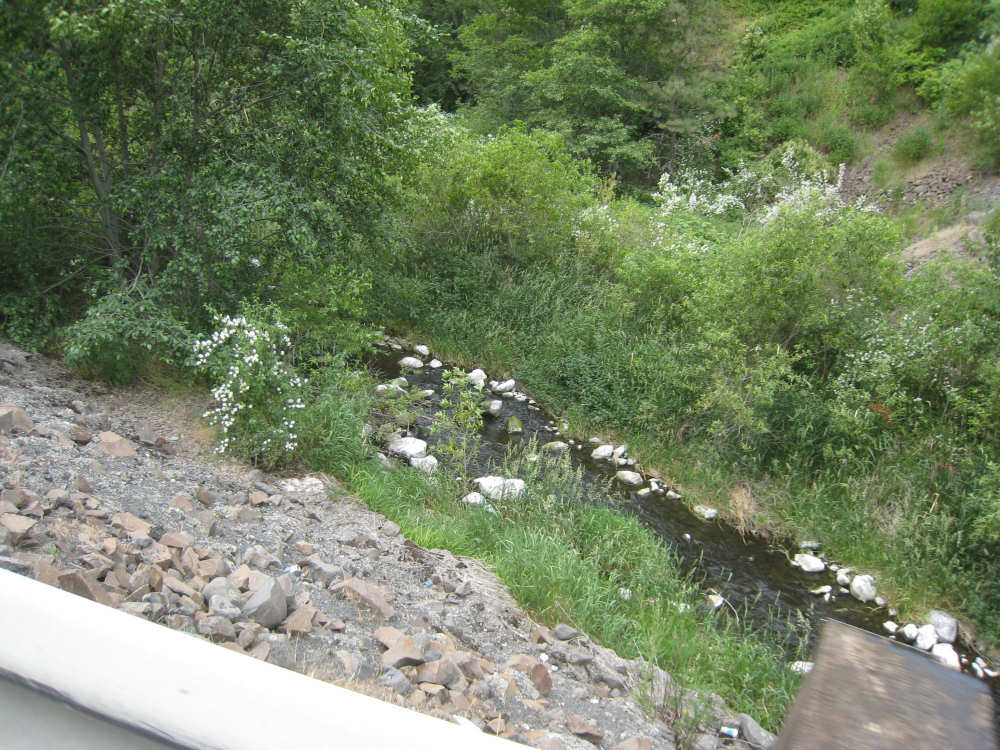
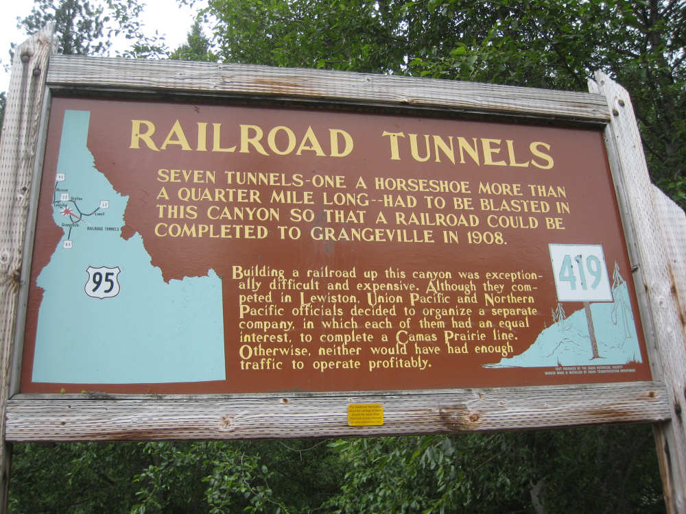
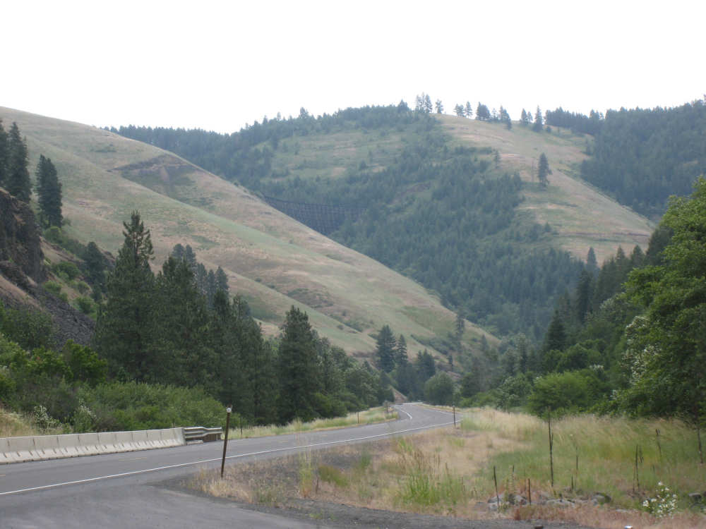
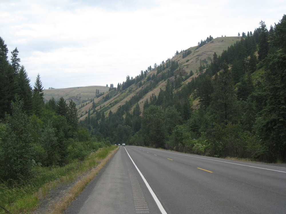
The change in route also took us through an extra town, Lapwai, at which we stopped mid-morning for a piece of pie. We also stopped at a town called Culdesac which was a little off-road but had a grocery store along the road where we stopped for a soda. From there, the road started to rise more steeply and we didn't pass another town until Winchester, near our final destination. We had an option at Culdesac to go up an old road that was steep and winding or to continue on 95 which was steep but at least was a smoother road and had an easier grade. On the advice of our evening's hostess, we stayed on 95. We were still able to enjoy the beautiful scenery of the area which had changed to mostly farmland and pastures to increasingly forested. We were winding through a canyon of sorts, and the hills around us were quite high and impressive. We had the company of many gurgling streams, especially the Lapwai Creek which ran beside for several miles - sometimes we could hear it but not see it, as it was hidden by the trees or tall grasses that grew along it. There continued to be plaques along the road, including one that talked about the railroad track we'd been seeing, explaining that it had been very expensive to lay track through that canyon. Part of the effort entailed creating 7 tunnels through the hills. We saw the high wooden trestles that held up the tracks across the gaps between hills, and noticed that the track seemed to disappear at times, but we never saw one of the tunnel openings because they were high up and always covered by trees.
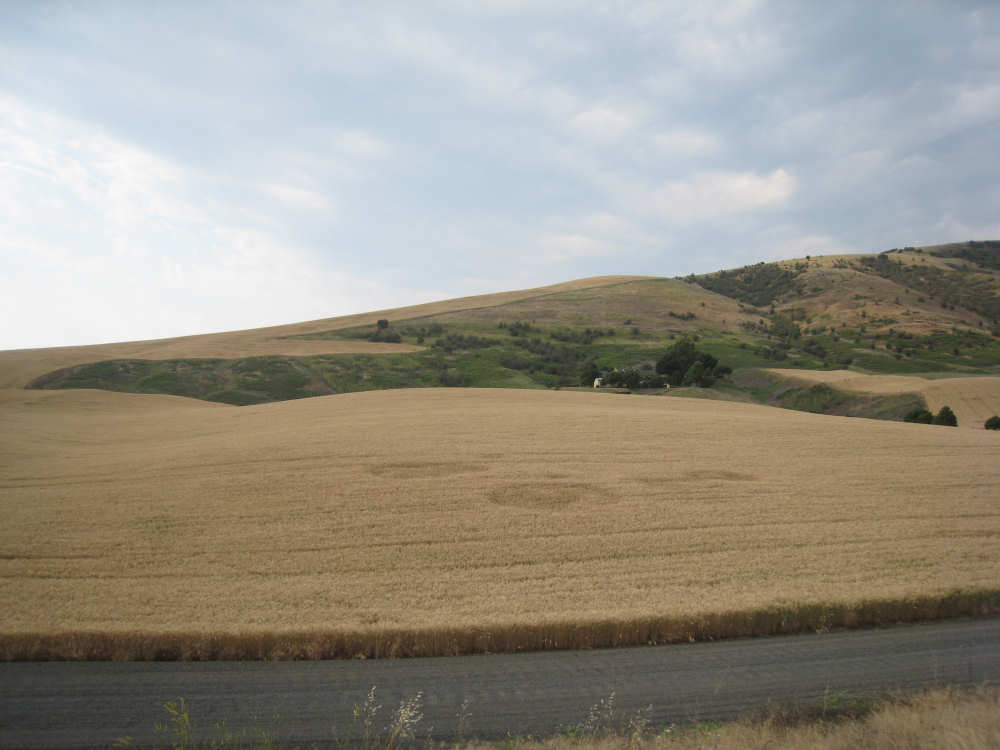
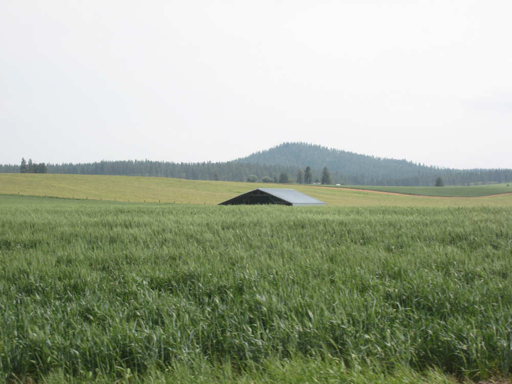
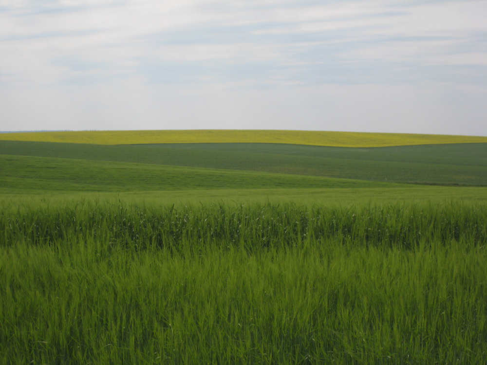
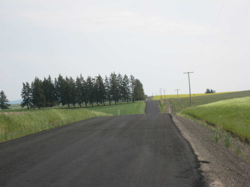
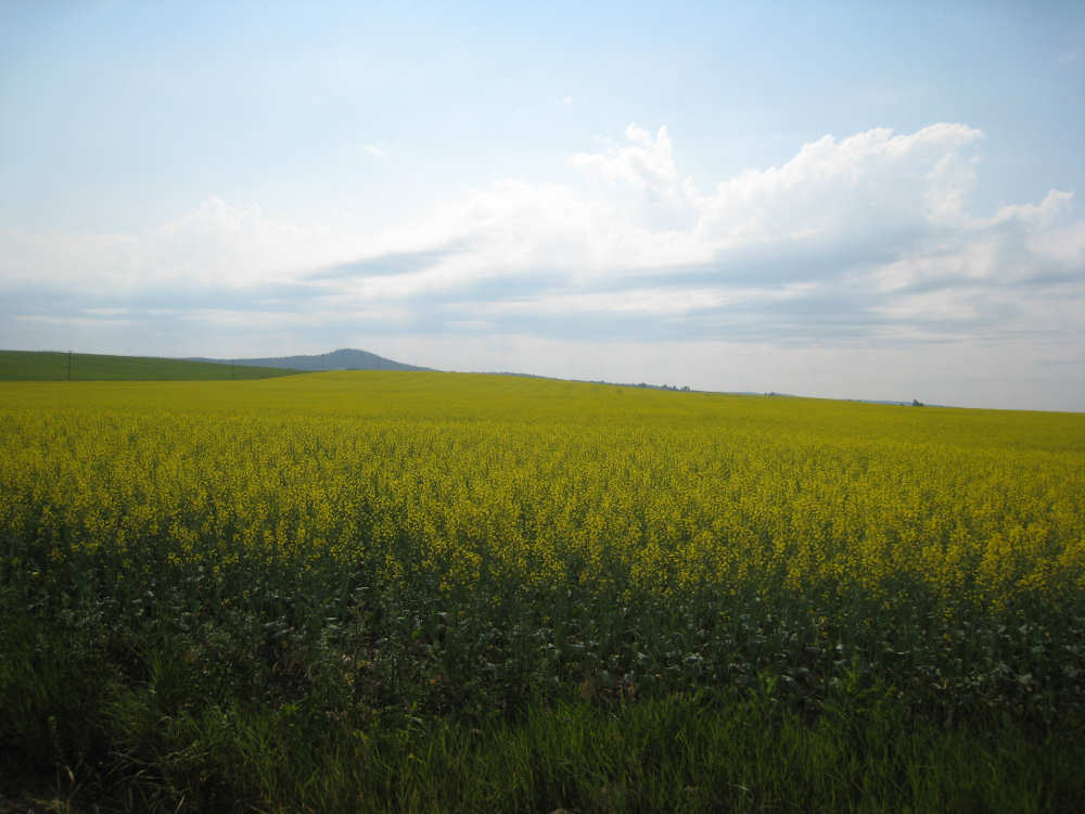
We hit the peak just before Winchester and were suddenly on a plateau covered with green fields of barley and wheat, as far as we could see. We turned off 95 into more fields, including canola which had lovely yellow flowers. Following our hostess, LaVina's instructions, we soon came to her place, tucked away in the middle of these vast fields. We were lucky to hear of her B&B from one of the motels we had called that didn't have any openings on the 4th. LaVina is a motherly sort who loves to cater to hungry, tired bikers, and entertained us with many stories of the guests she's had. We have a lovely and comfortable space to ourselves to relax and work in. We finished the day at 47 miles in a little under 6-1/4 bike hours, a low average but typical of a day with a lot of climb. The weather turned out much better than predicted (thunderstorms, hail, damaging winds); it was cloudy and it drizzled on us a few times but it was a lot cooler than it's been. It was still a little steamy at times but we had a nice cool breeze most of the time, and it was a tail wind, too!
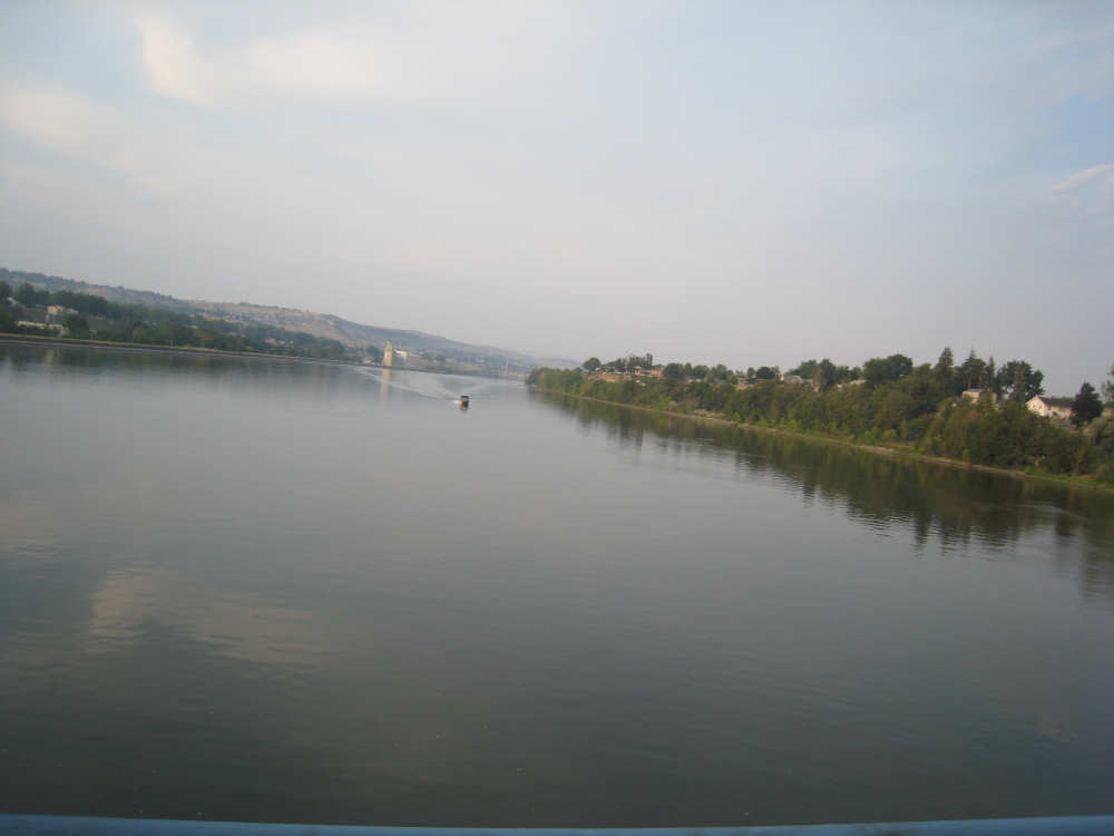
Crossing the Snake River into Lewiston |

Entering our 18th state |
|
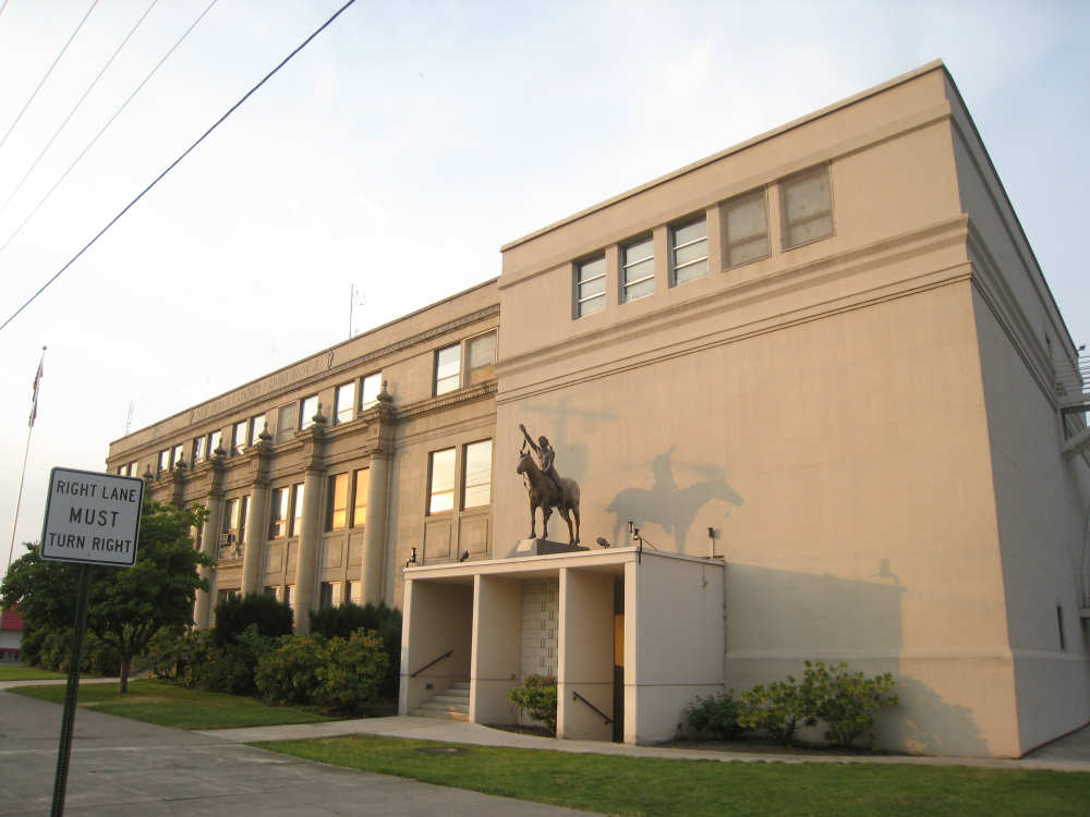
Lewiston's Court House |

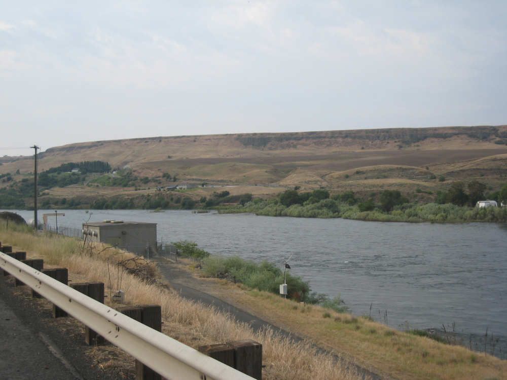
Crossing the Clearwater River to get on 95 |
Idaho has magnificent hills as well |
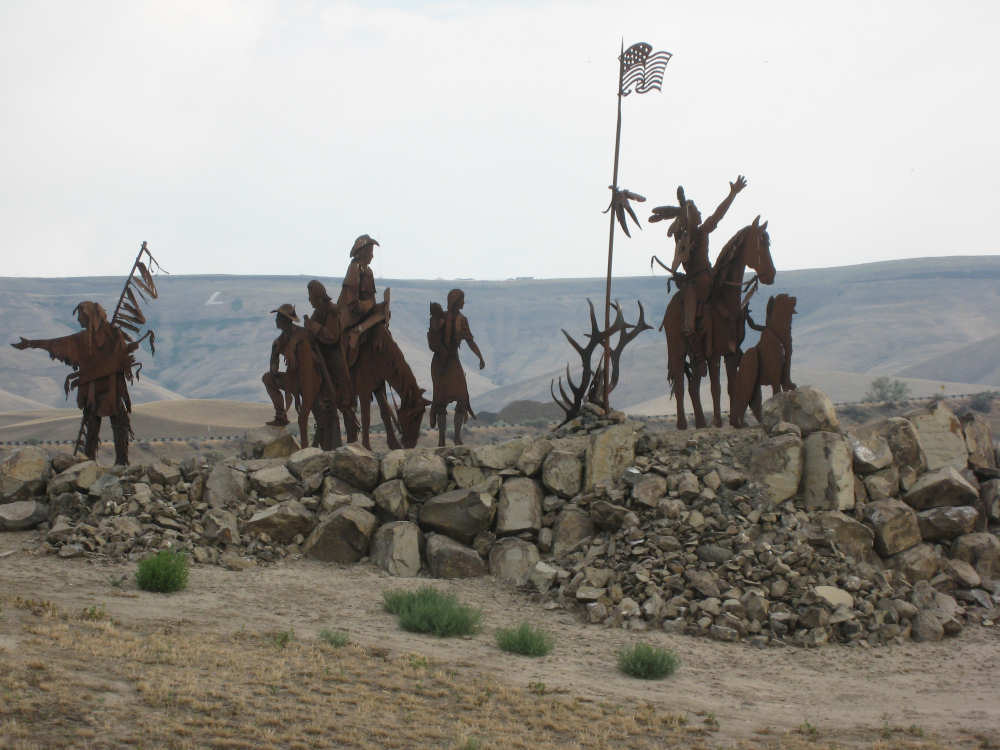
Metal silhouettes of Native Americans and white settlers of the area |
Swiftly flowing Clearwater River and hills behind |
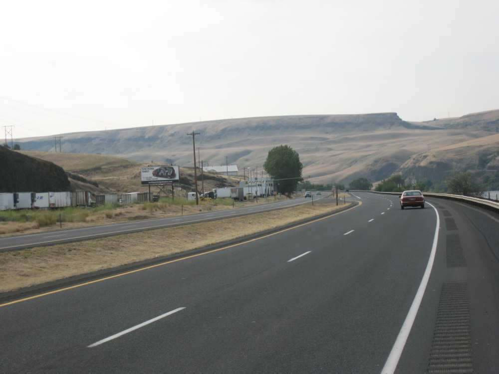
A view of 95 and an impressive hill |
Brown hills with green patches |
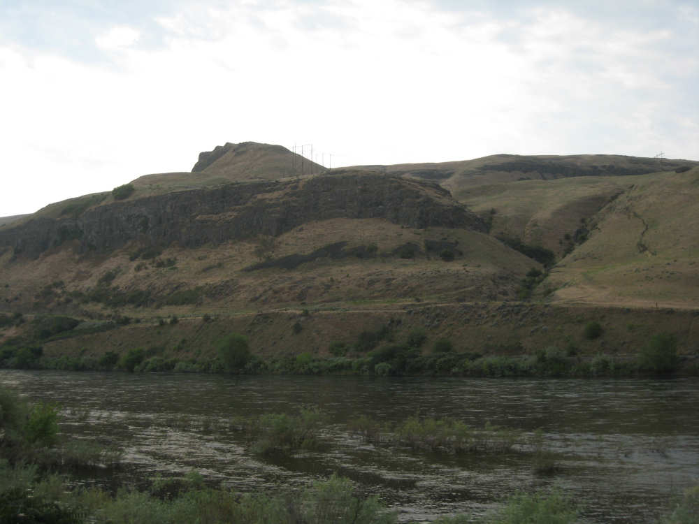
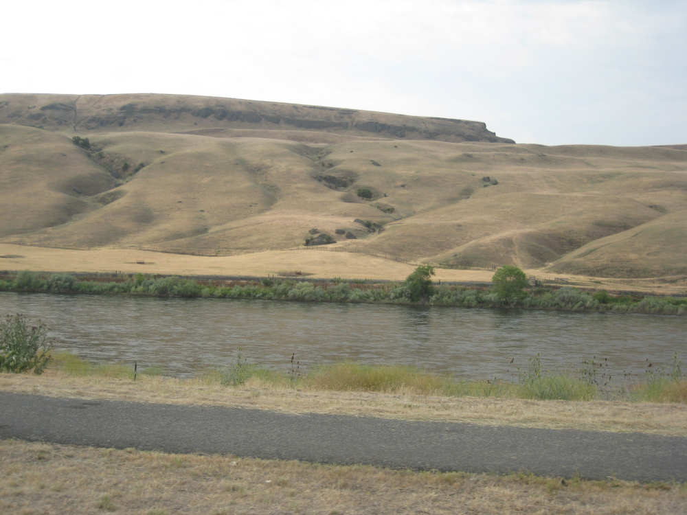
Greener hills and the Clearwater rushing below |
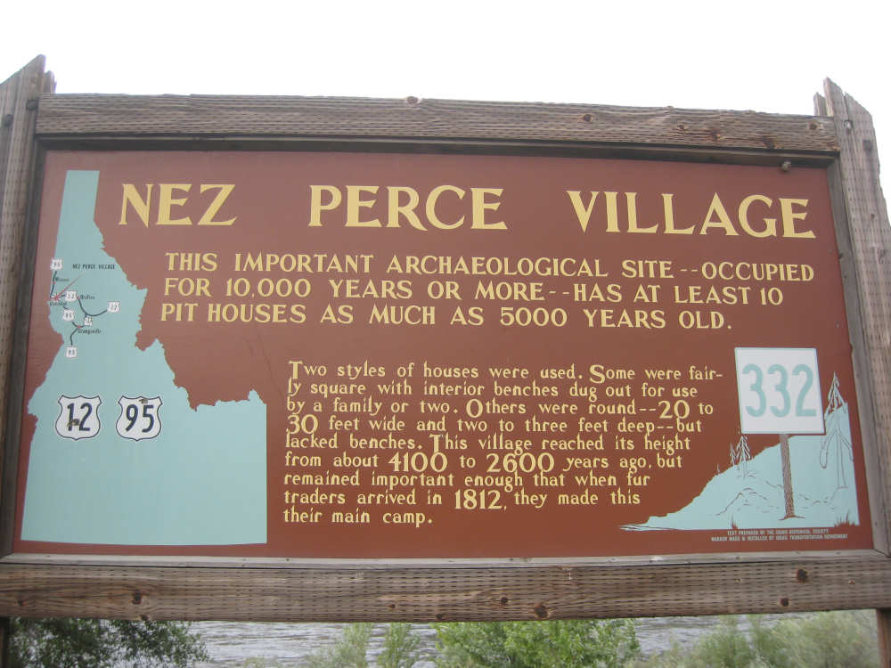
The first historic marker we come to |
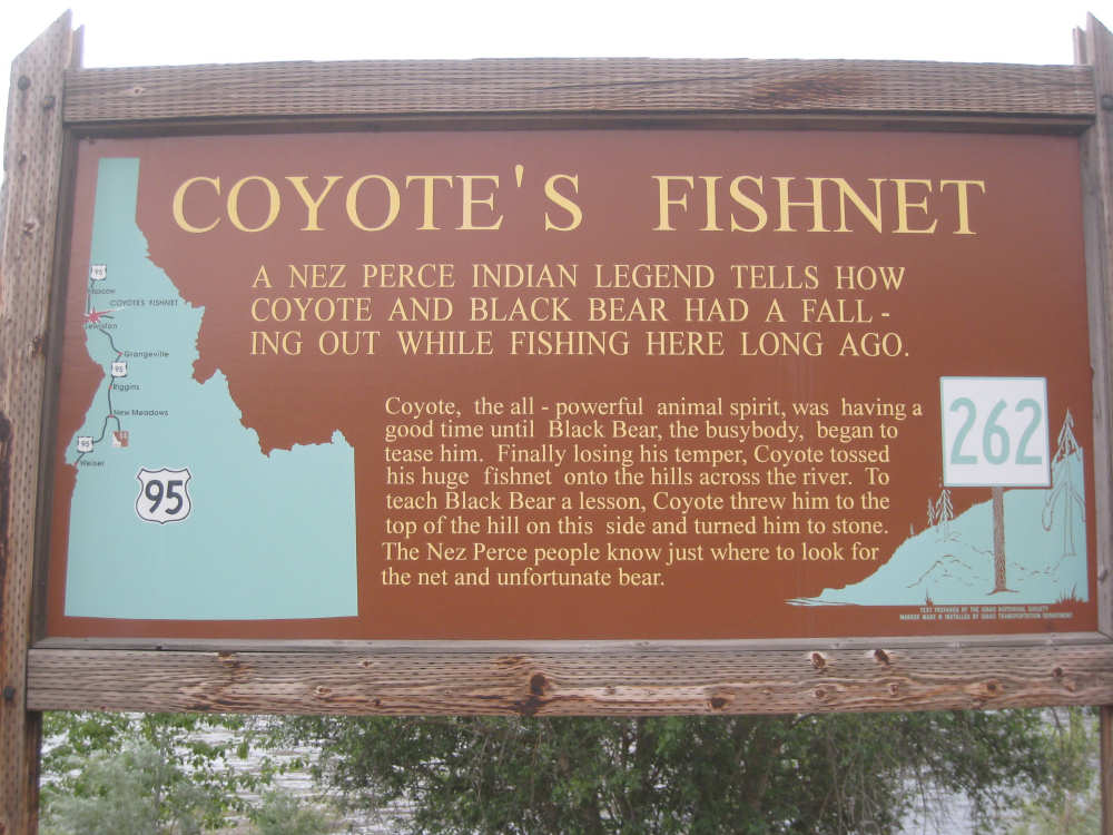
This little legend was funny |
We thought the dark stone patch high up this hill might be the black bear |
The hills continue to fascinate us |
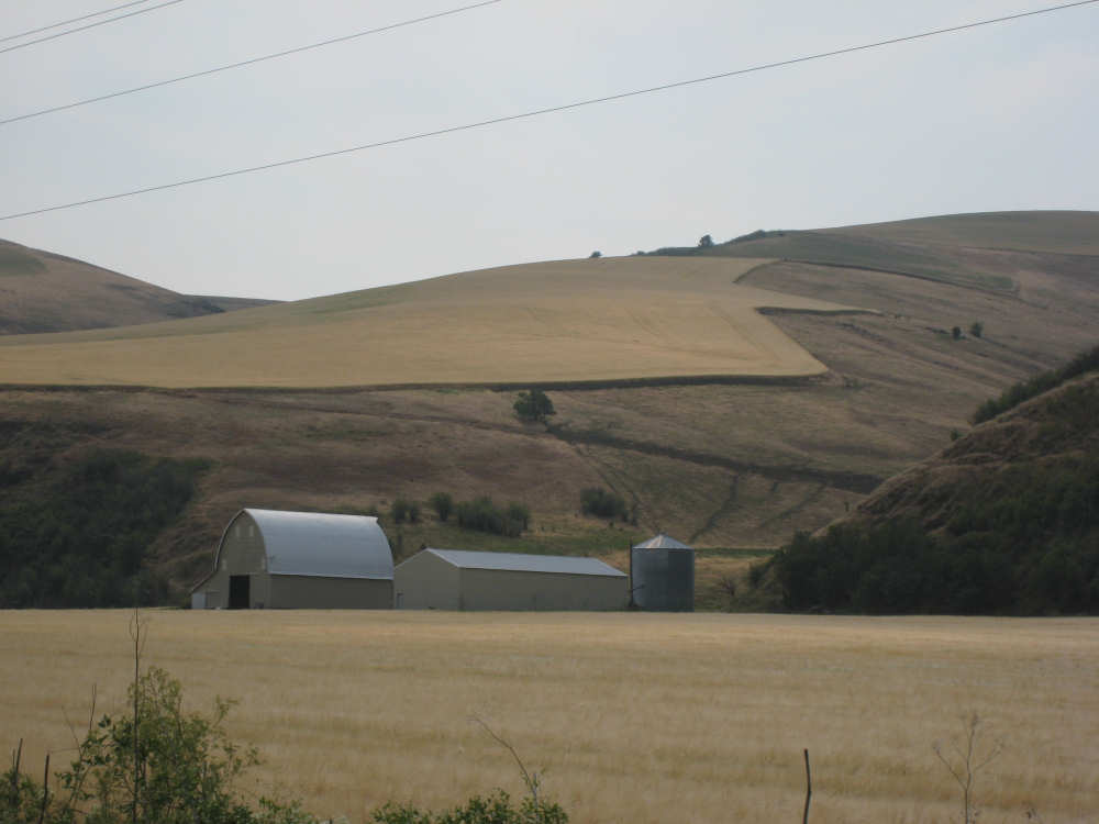
Large farm with a patch of green around the farmhouse |
More history |
Entering the town of Lapwai |
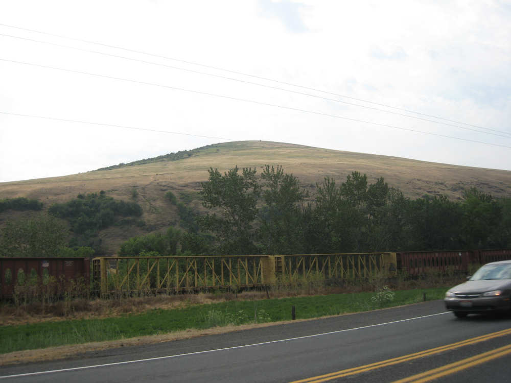
We saw miles of idle railroad cars along this stretch |
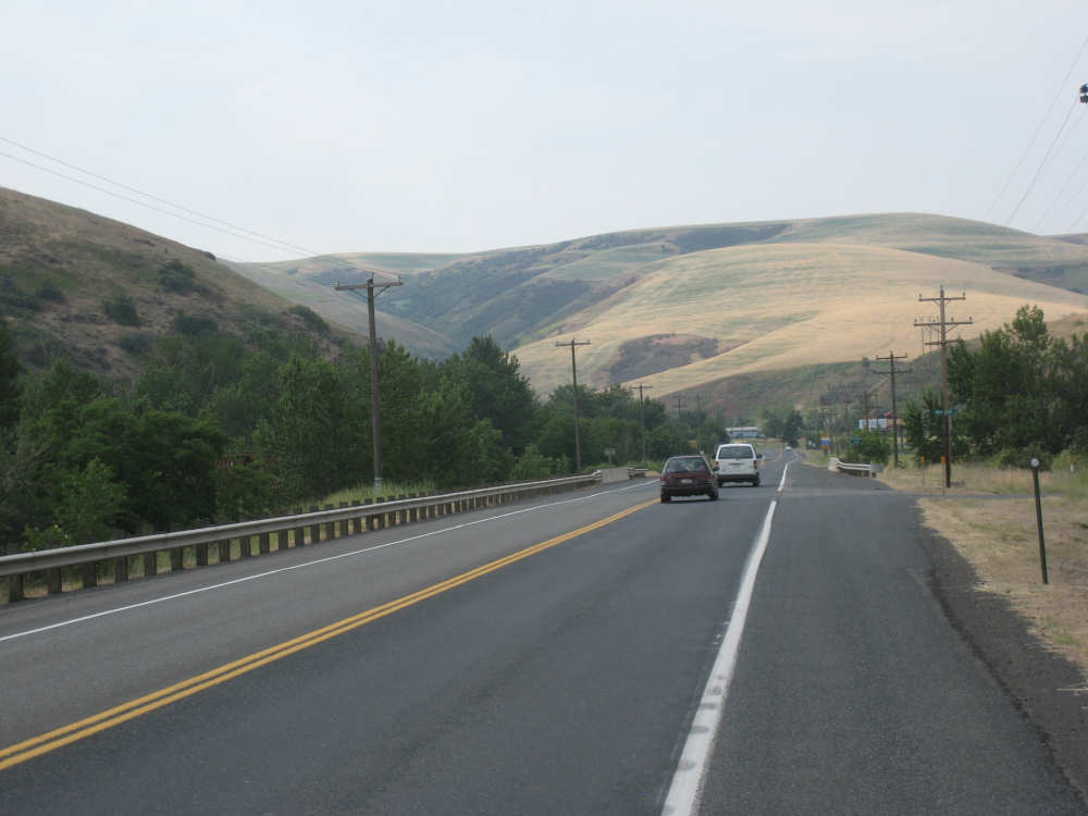
95 is narrower here, but the hills are still beautiful |
Fields of wheat on the most amazing slopes |
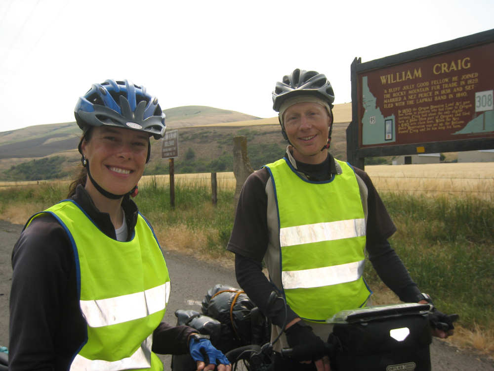
Sandra and Sebastian from Holland |
The marker where we met them |
The hills are starting to get wilder and greener |
We saw many lovely horses, including these three |
|
The grocery store at Culdesac |

The town of Culdesac nestled on the hills |
Forested hills have now taken over |
The pretty Lapwai Creek |
The marker about the railroad tunnels |

One of the railroad trestles that 'dissappeared' into the mountain |
Another railroad trestle high up on the hill |
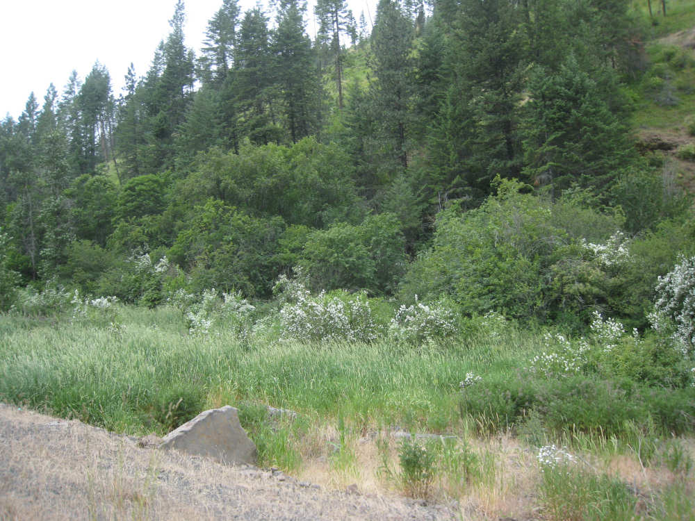
Tall grasses and flowering plants along the creek |
A road view looking back on the steep part of 95 |

Pat waits patiently as I take a picture of the track across the road |
Almost at the top of the climb, forests thin and bushes appear |
On the plateau, a house hides behind a field of barley |
Beautiful fields of canola, barley and wheat |
We turned off 85 onto this rural road |
A huge field of canola |