Thursday, July 10, 2008
Missoula, MT to Ovando, MT
53 miles (5865 total miles)
We left Missoula this morning around 8 after a yummy breakfast at a spot a local recommended. On leaving town, we saw the aftermath of a fire that had been burning last night on Mount Sentinel, the mountain near our motel room. We had seen it burning last night and wondered how/why it had been started; our friendly local, Peter, ascribed it to 'kids with matches' and noted that all the Missoula fire fighters were in California fighting those fires. The fire made the front page of the Missoula newspaper so the kids must have been pleased. A woman we overheard at breakfast said the fire was right above her house - she was not a bit pleased. Peter also mentioned it was a good thing the fire hadn't been started today when the wind was supposed to gust to 40 mph (hmm, I hadn't heard that). It did turn out to be quite windy today, although calm in the morning, but we finally had the gusts coming from behind us instead of right in our face! That was a real treat although it didn't give us as much of a boost as I had hoped, still, at least it didn't slow us down. We didn't have a lot of climb today but we had many fewer downhills; our general trend was uphill at a gentle grade. We are, after all, heading towards the Rockies and the Continental Divide. Like the Lolo Pass, we'll spend a couple of days of gradual climb (today and tomorrow) and then have a steeper climb just before the pass.
Today was our first full day in Montana and it was characterized by some rivers and creeks, ranches and wide pastures, and lots of mountains and hills. We started by following Clark Fork out of town and soon picked up the Blackfoot River. After we veered off from the Blackfoot, we were joined by a number of creeks, then finally crossed the Clearwater River (don't think it's the same one we saw in Lewiston, ID, but it may have been), joined back up with the Blackfoot soon afterwards, and finally saw the Monture Creek before coming into Ovando for the night. Along the way, we passed several 4,000-7,000 foot peaks as well as some rolling hills. After three little towns right outside of Missoula, we only passed one other town, Potomac, where we stopped for lunch. Potomac was situated in a wide valley and there were several large ranches approaching town. After another 15 miles or so, we came to an intersection with Hwy. 83, which goes to Glacier National Park. There was a gas station/food store there that was obviously very popular. It may have been the location or it may have been the giant steer out in the parking lot that pulled people in. We went on for the last 13 miles to Ovando, watching the Rockies come closer and closer. We arrived in Ovando, noticing a sign saying its elevation was 4,100 and its population was about 50. It was a tiny little town, but it had a lovely inn, a cafe where we can have breakfast tomorrow, a bar where we had dinner, and lots of historical points of interest. In fact, there were 3 women also staying at the inn who were spending a week there researching their family history. One of the women noted that her ancestors had come to Ovando from Pennsylvania and that there were many Pennsylvania Dutch who had settled in the area. There is also a museum right across from our inn and Pat had originally thought we would be camping on the museum lawn (this was before I looked into the situation). It turns out it probably would have been fine - there was even a port-a-potty on the lawn! But the wind is still blowing quite strongly so it wouldn't have been a very restful night. We ended the day at 53 miles in a little over 5-1/2 bike hours.
Tomorrow will be a short day - we're going less than 30 miles to Lincoln, MT. We hope to finish up what we didn't get to on our rest day in Missoula and rest up for our climb over the Continental Divide the day after. We will also hopefully have a better connection in Lincoln - it's very slow here, so we may not get all our full-size pictures loaded tonight. But they will get there eventually.
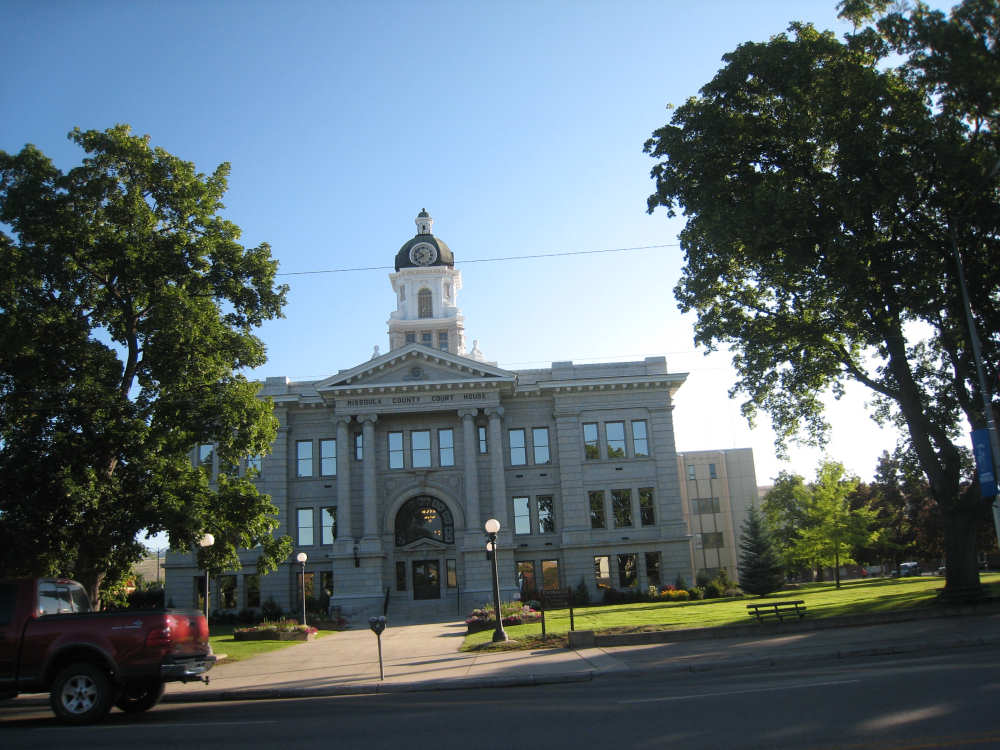
The Missoula Court House |
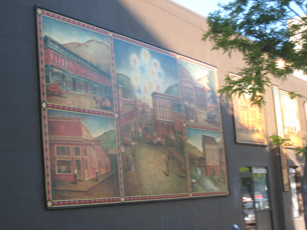
A mural outside a graphics business in Missoula |
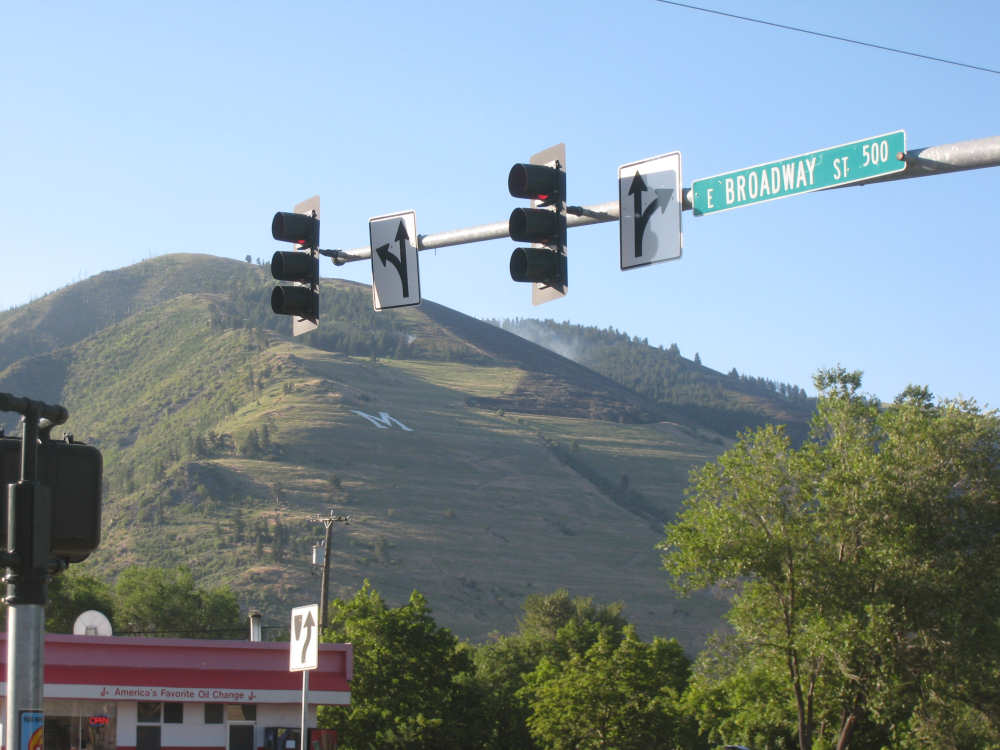
Smoke and a partially-hidden blackened area on Mount Sentinel |
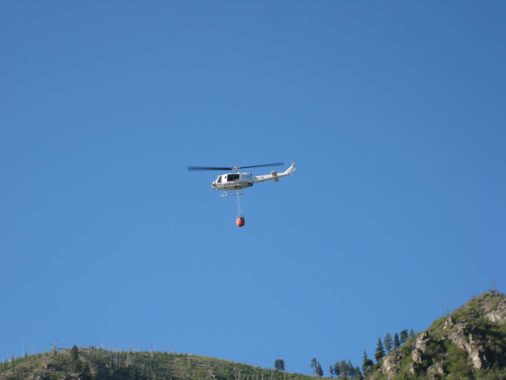
A helicopter with a bucket of water checks the area for any remaining hot spots |

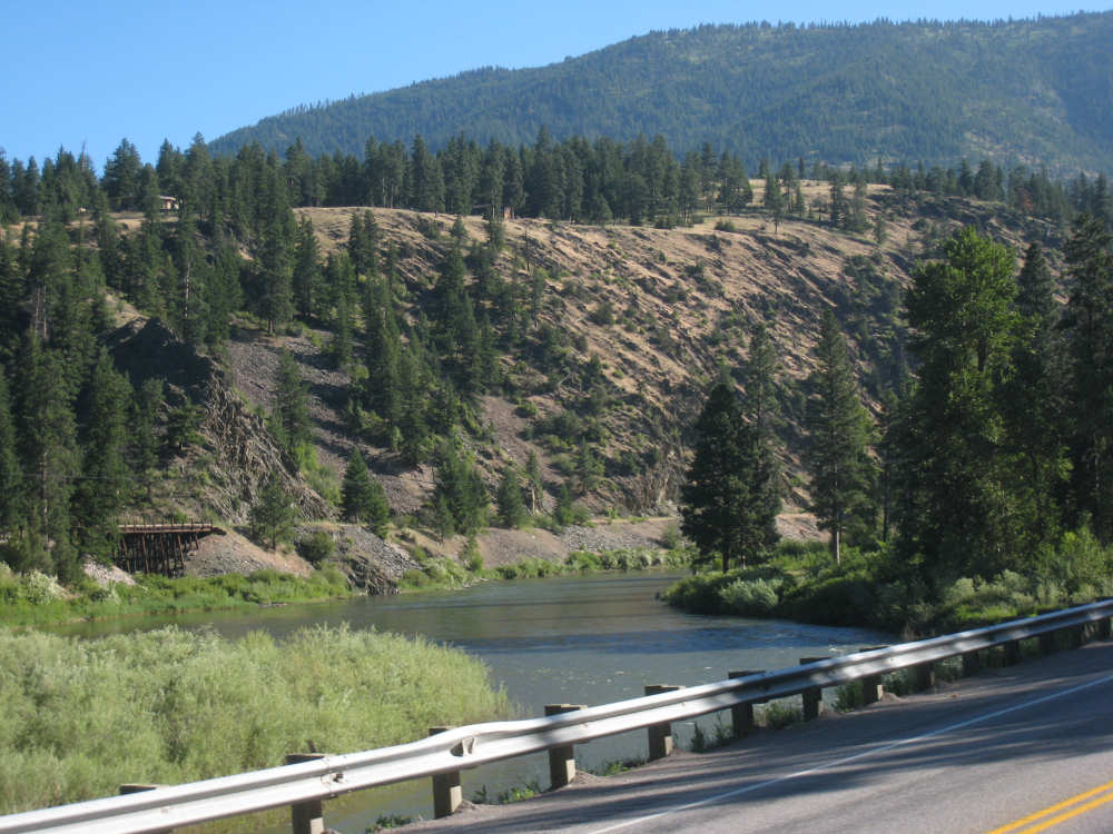
The Clark Fork flows quietly by the mountains |
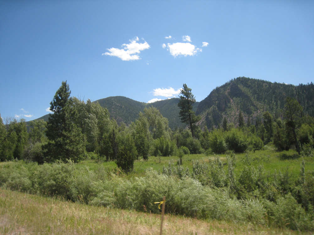
Interesting hills with mountains behind them |
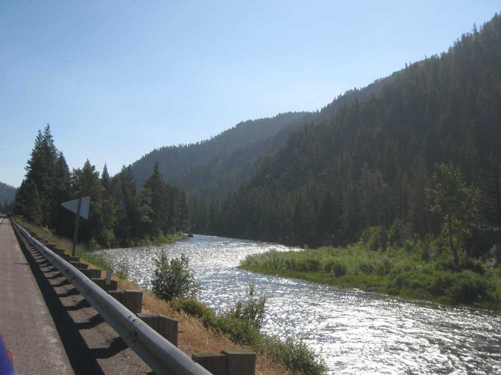
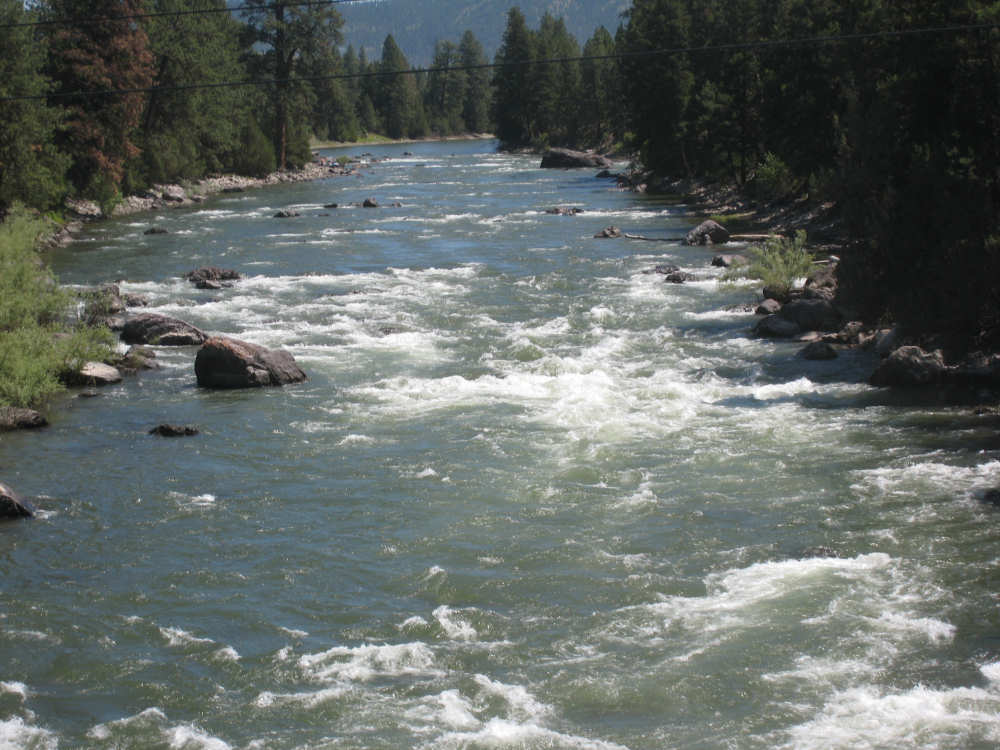
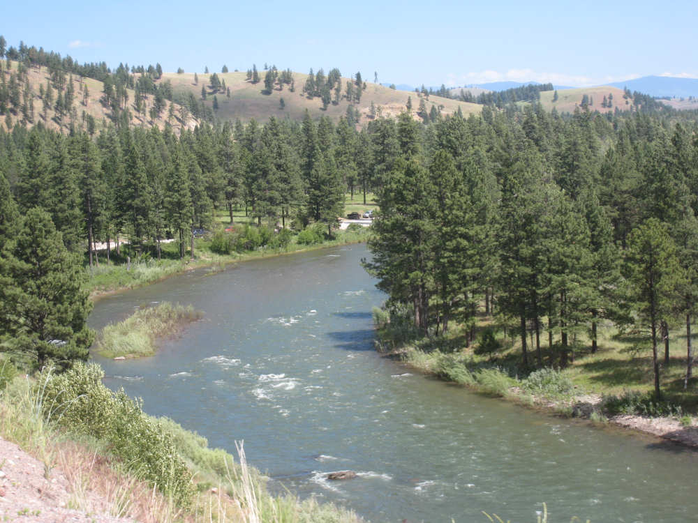
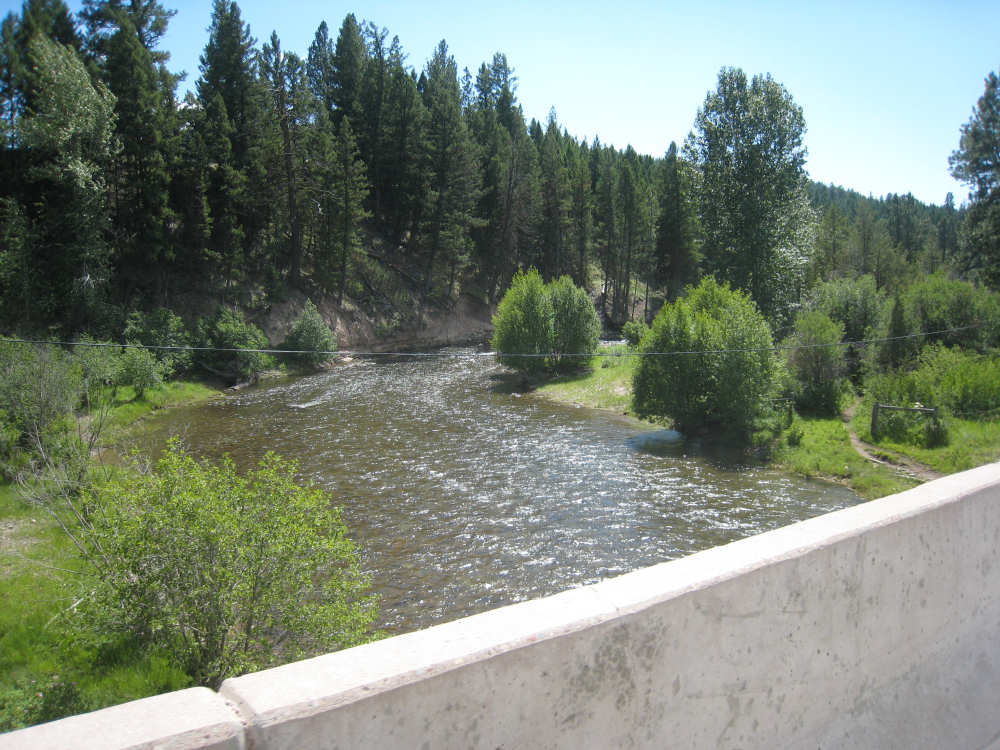
The Blackfoot River bubbles beside us |
Looking back at Bonner Mountain - 6,800 feet |
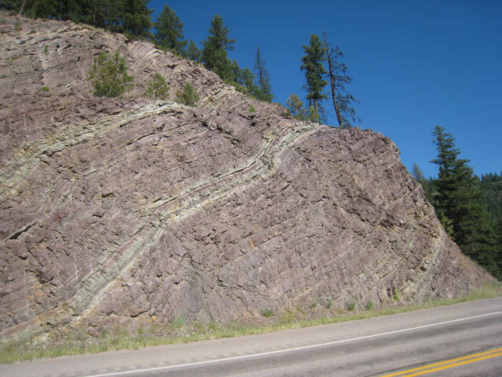
Pink stone in a swirly pattern |
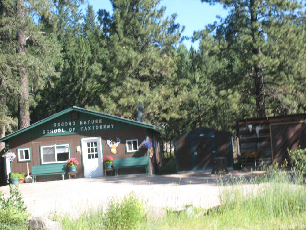
Taxidermy is a big business out here in big game country |
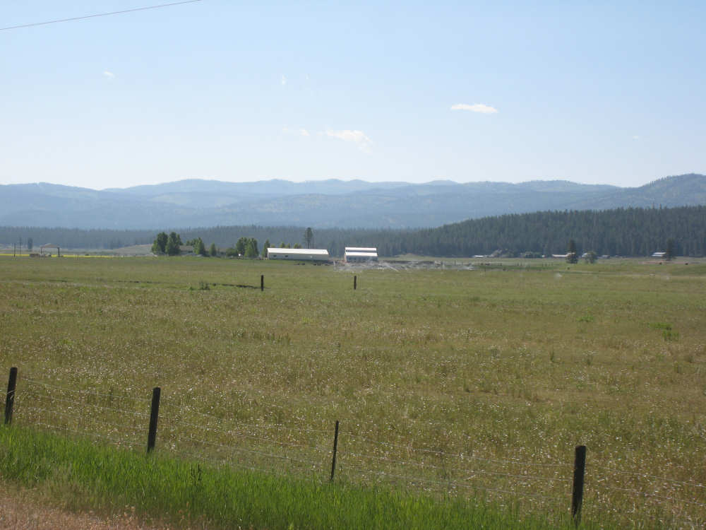
The valley that Potomac is nestled in, and some ranch houses... |

and cattle there |
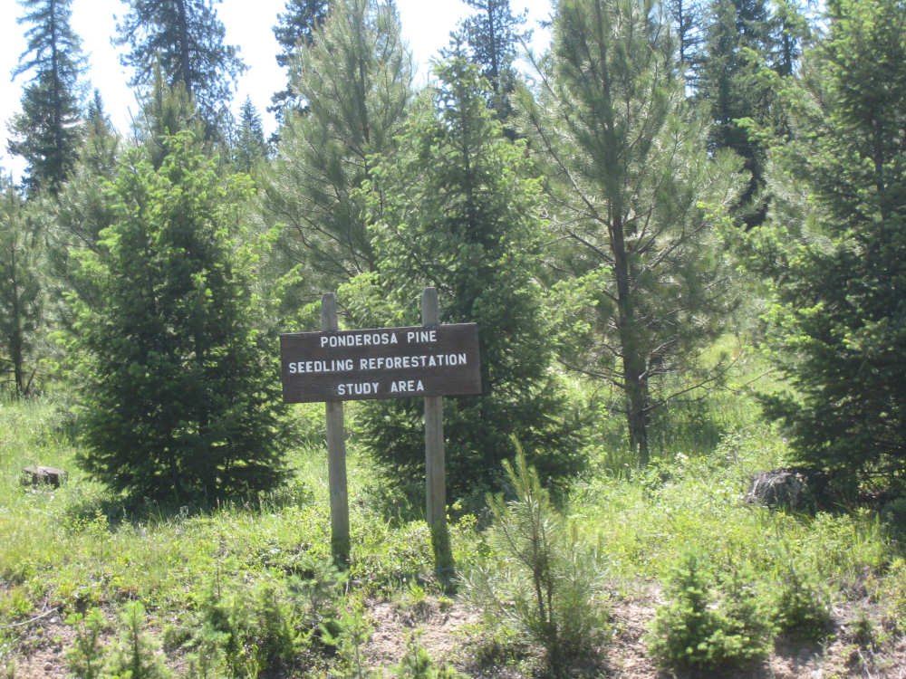
The University runs an experimental forestry area here |
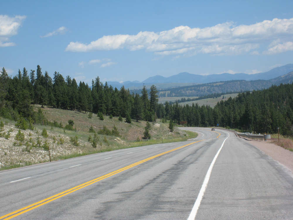
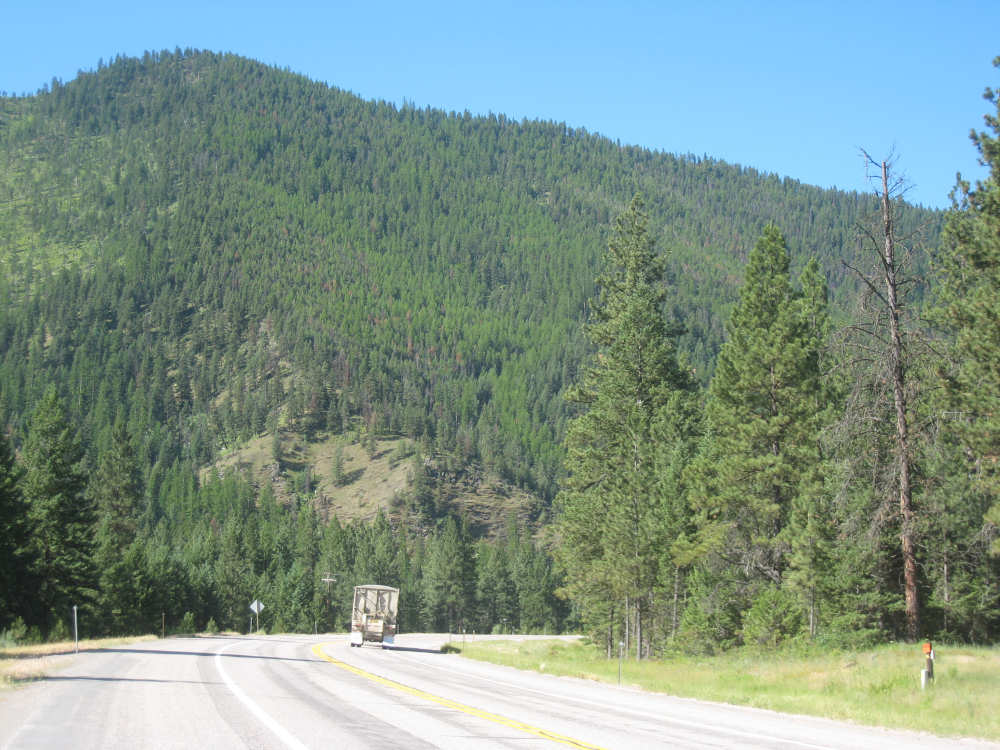
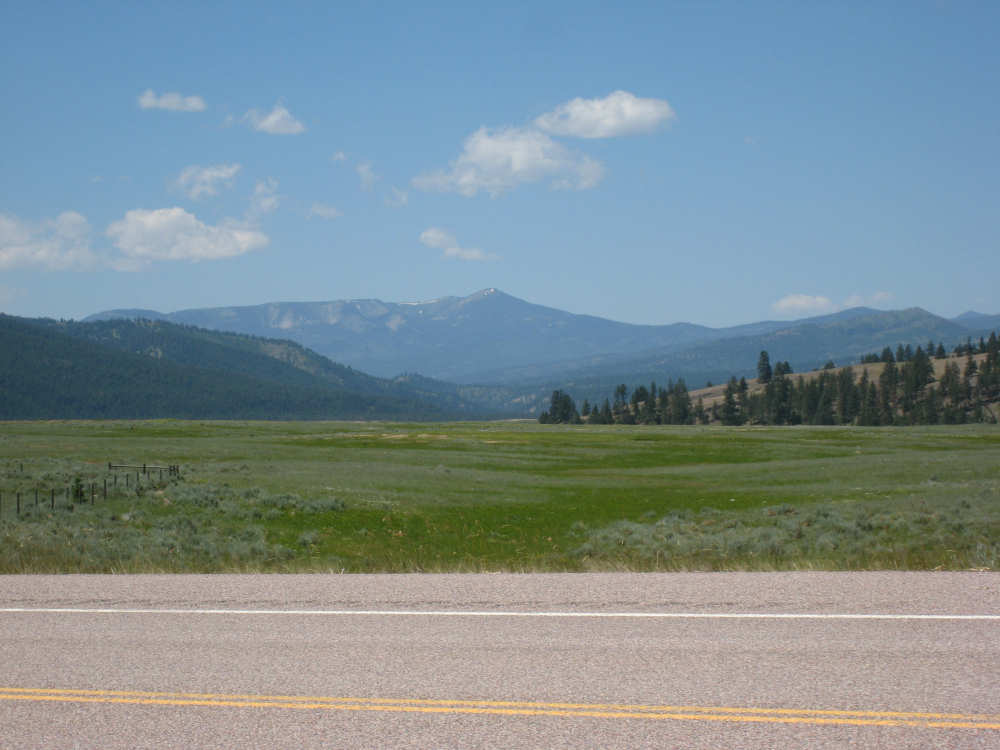
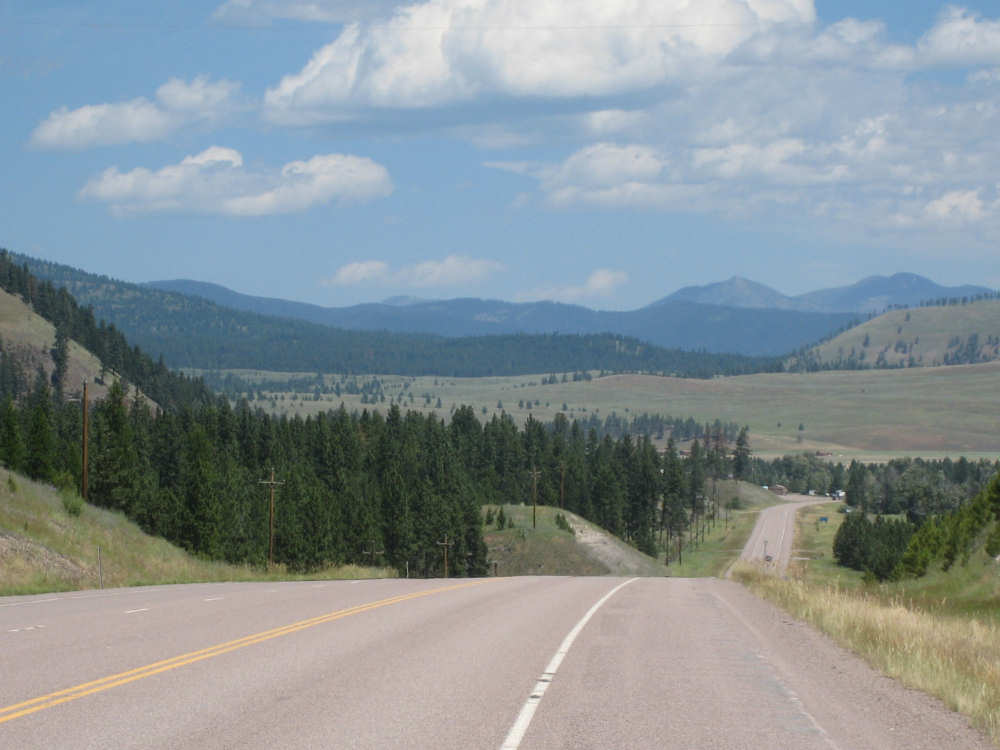
A view of the road and the Rockies ahead |
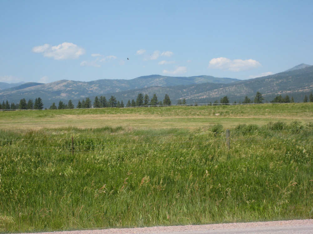
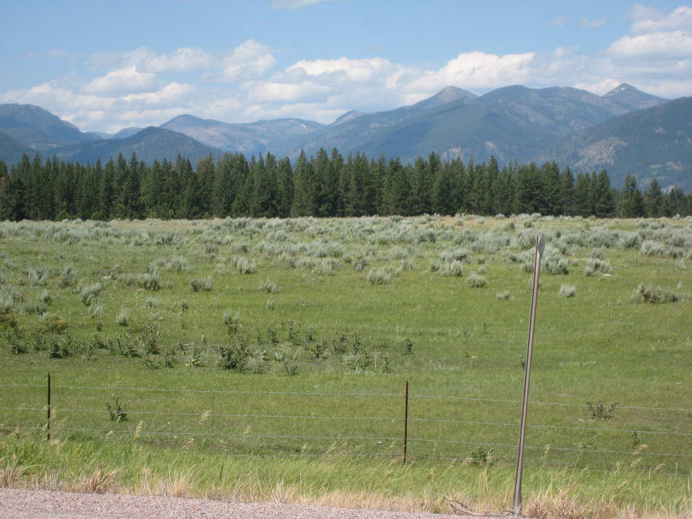
Fields and mountains (you can see the grasses blowing in the foreground) |
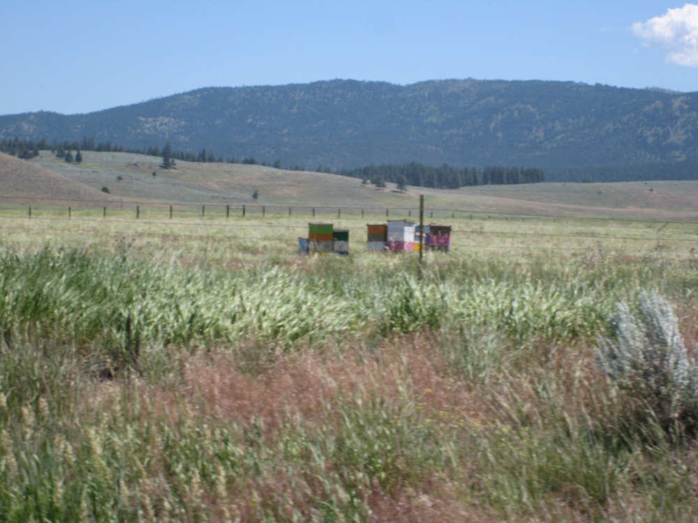
Boxes that we finally decided must be bee hives |
The Blackfoot River joins us again |
Some snow on the tips of the Rockies |
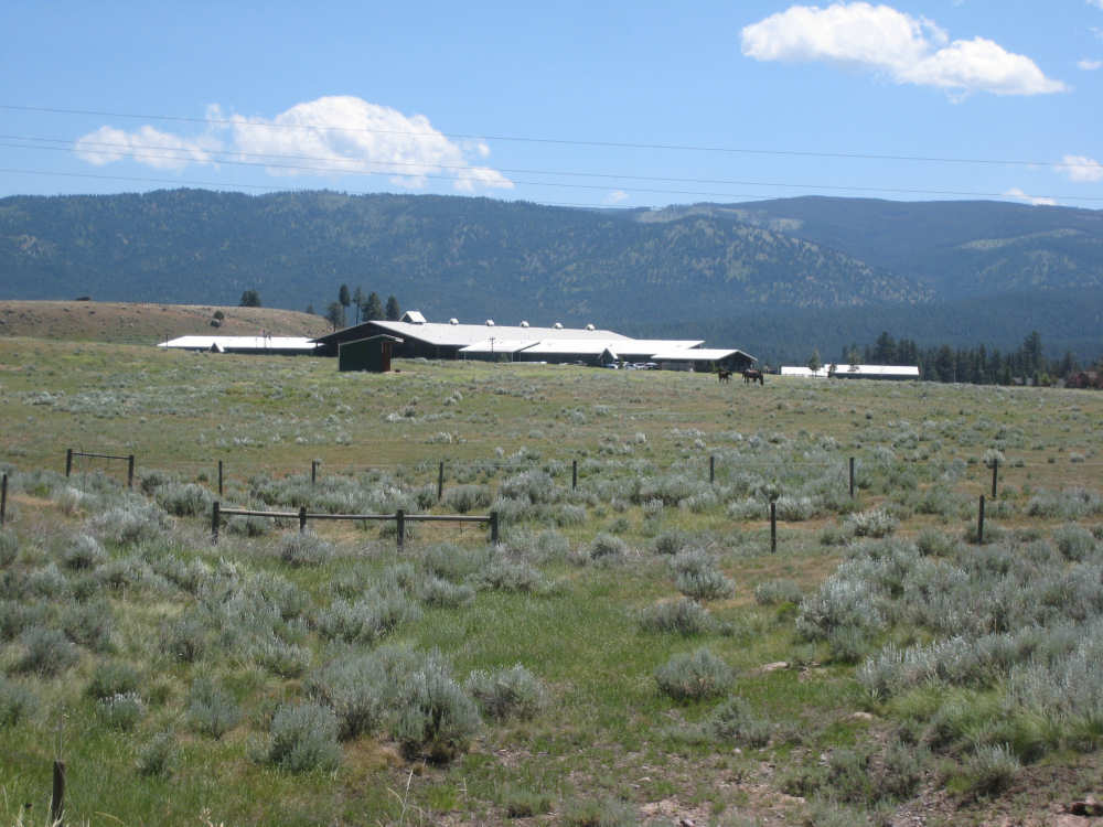
A ranch called 'Paws Up' that went on for miles |
One of the few dips in the road and the view beyond |

We cross the Clearwater River |

Pat poses with the giant steer at the Hwy. 83 & 200 junction store |
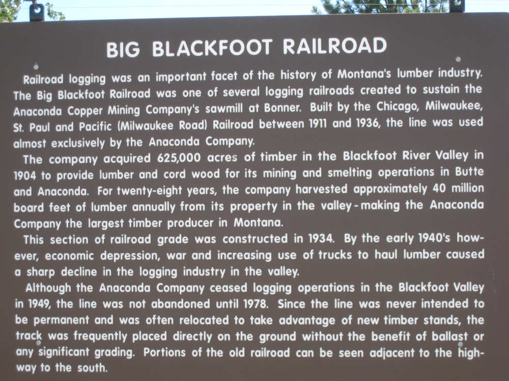
Some history for you railroad buffs |
Rolling hills and trees along the Blackfoot |
Small hills beside us |
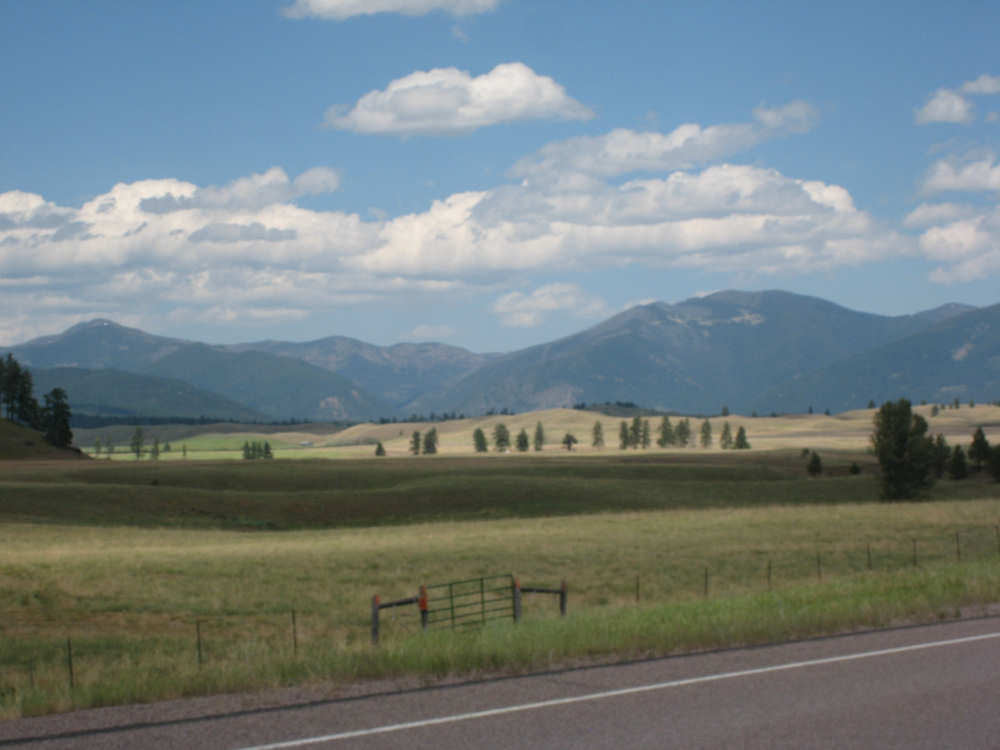
The Rockies are getting closer |
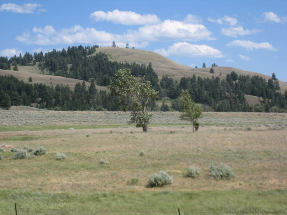
More rolling hills |
We cross the Monture Creek |
Another view of the Rockies |
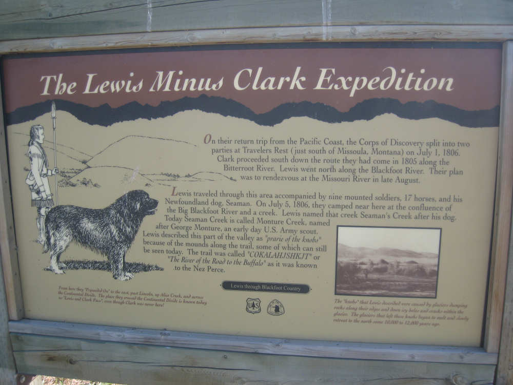
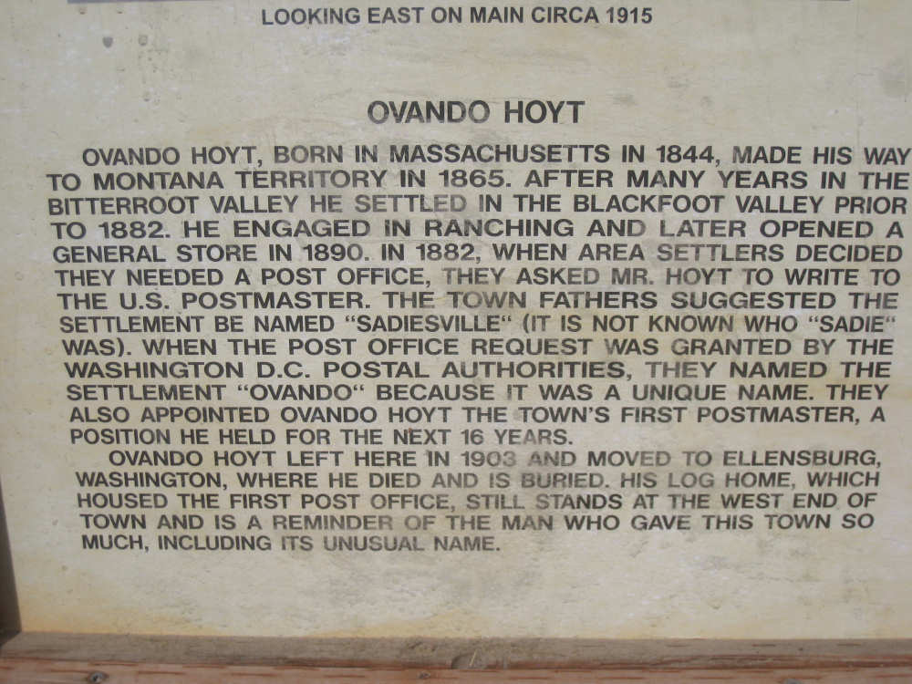
One of the historic posters in Ovando |

A detail from that poster |

Pat poses with a bison in town |

Our picturesque inn |
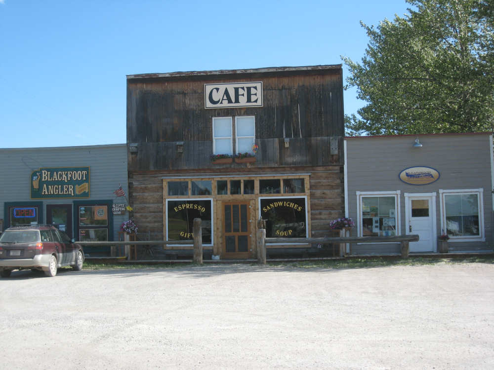
The breakfast spot |
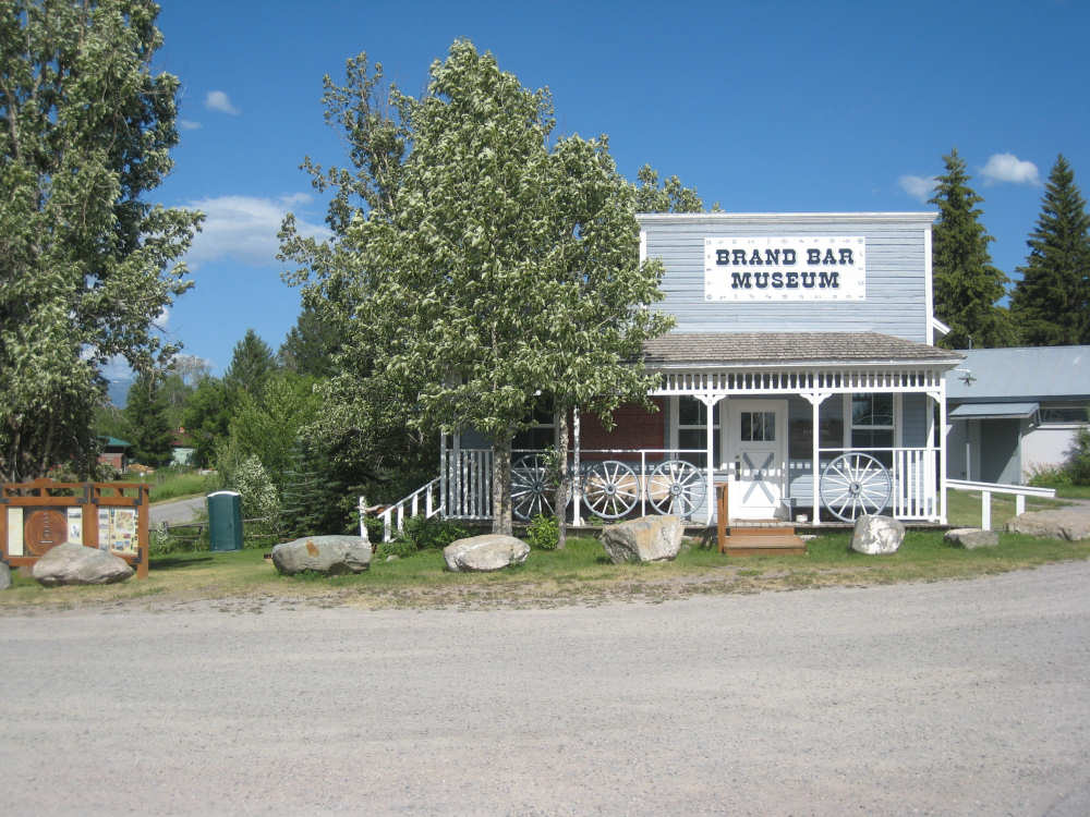
The museum where we could have camped - note the port-a-potty toward the back |
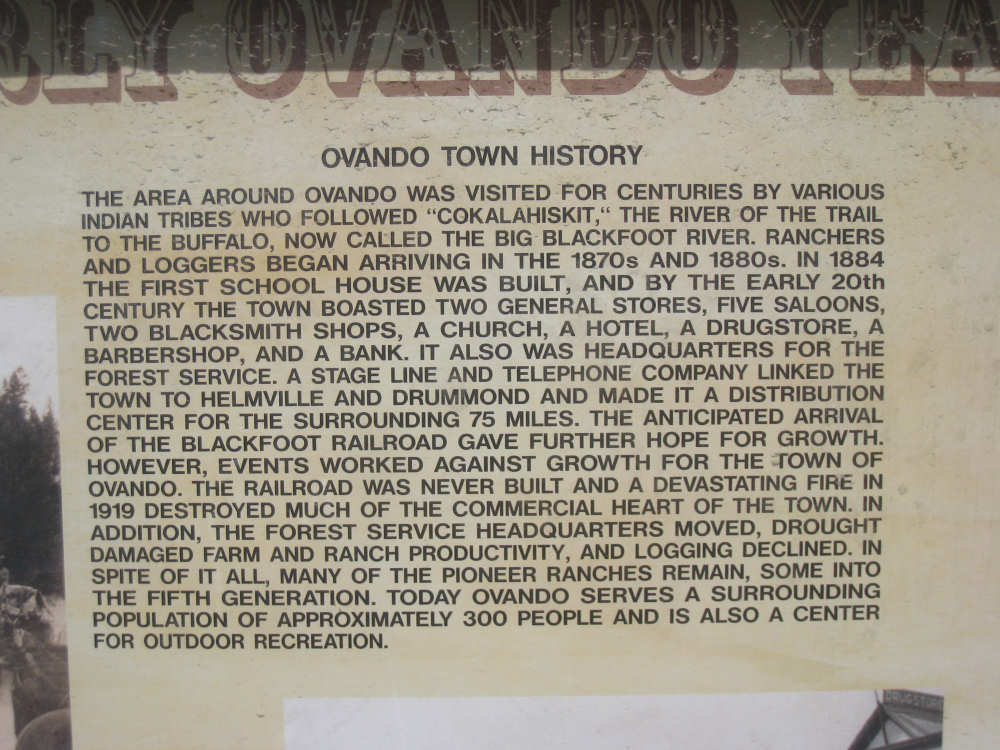
Some town history |
|
|
The part that's obscured by the banister reads: Though wilderness must be balanced |
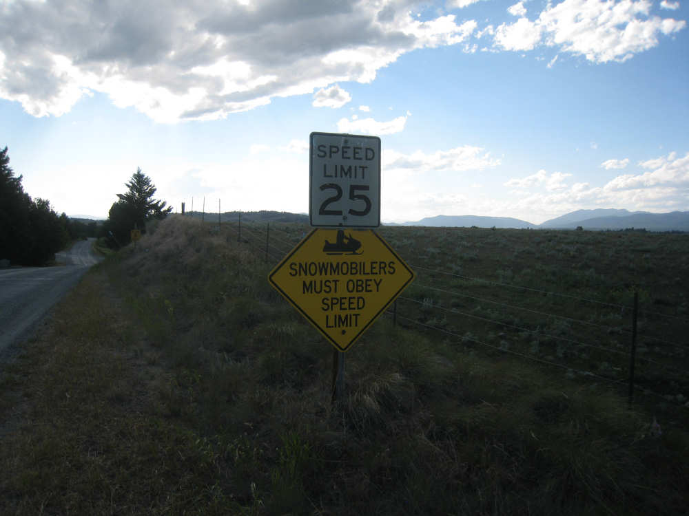
Nice to know even snowmobilers have rules to follow |