Monday, July 14, 2008
Great Falls, MT to Fort Benton, MT
42 miles (6057 total miles)
Another pretty easy day, mostly downhill except for a couple of hills - one of which was the climb out of Great Falls, shades of the L&C Portage! The temperature was pleasantly cool again this morning, in the 50's I think, and we had a great tail wind again as well. We set out across the Missouri River after breakfast at a nearby restaurant (they fixed us some sandwiches to take along as well, since we didn't have any pass-through towns today. Just as we got to the bridge over the river, we passed a lady walking over the bridge and we asked her if she would take our picture, which she kindly did. So we got our 6000 mile photo with the Missouri behind us. After we climbed the hill out of Great Falls, we were on a plateau for most of the day, descending very, very gradually - from about 3500 to 3000 by the end of the day. We were on Hwy. 87 nearly all day, and it was straight as an arrow for a good part of the day, so we could see it stretching out ahead of us. There were some rolling hills at the beginning which slowed us down a bit. One downside of our early morning ride was that we found a lot of hungry mosquitoes. They didn't bother us when we were zipping along donwhill, but when we slowed on the uphills, they came in for a bite. We tried to stop for a rest at about 20 miles and they were so annoying we had to go on. Luckily, their numbers diminished after that and we didn't have any further trouble from them a little while later. The terrain during most of the day was mostly farm fields as far as we could see on either side, growing either hay or some other kind of grain. We saw a few clusters of houses like little subdivisions out in the middle of nowhere, and a few single farm houses, but most of them were way off on the horizon or completely out of sight.
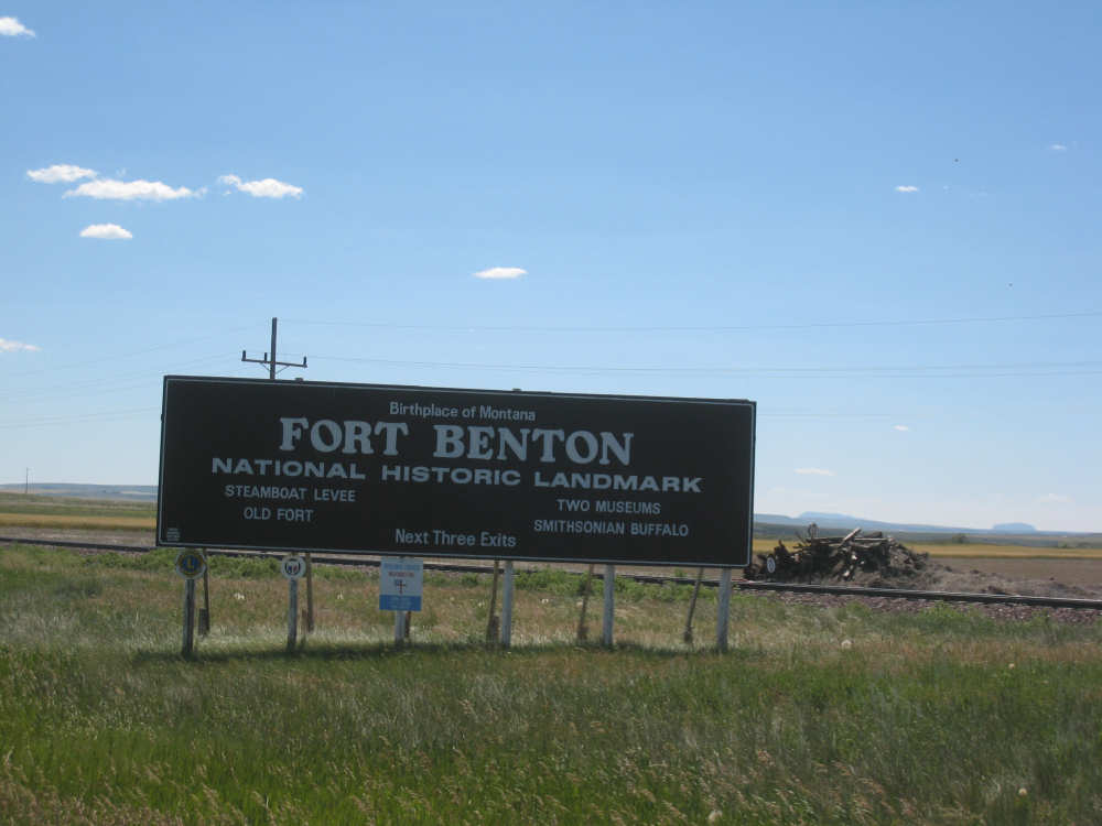
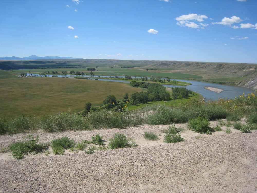
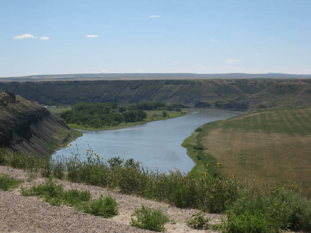
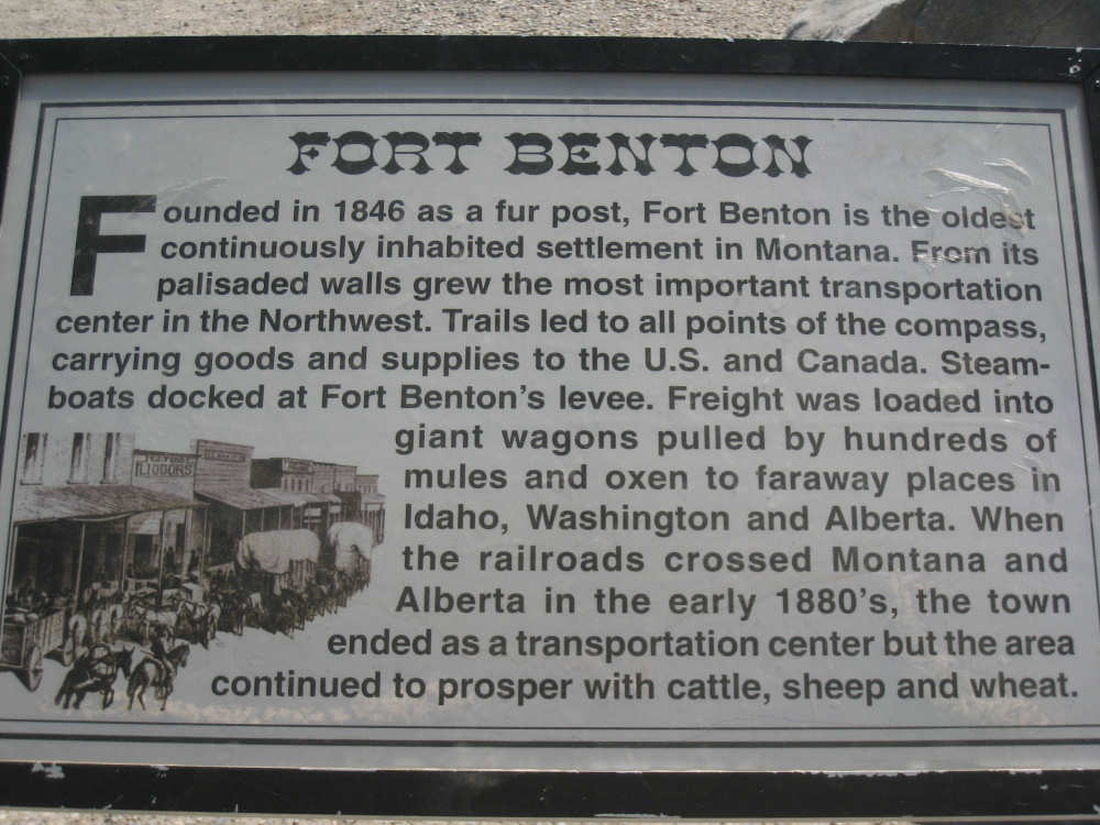
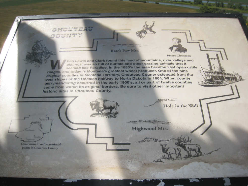
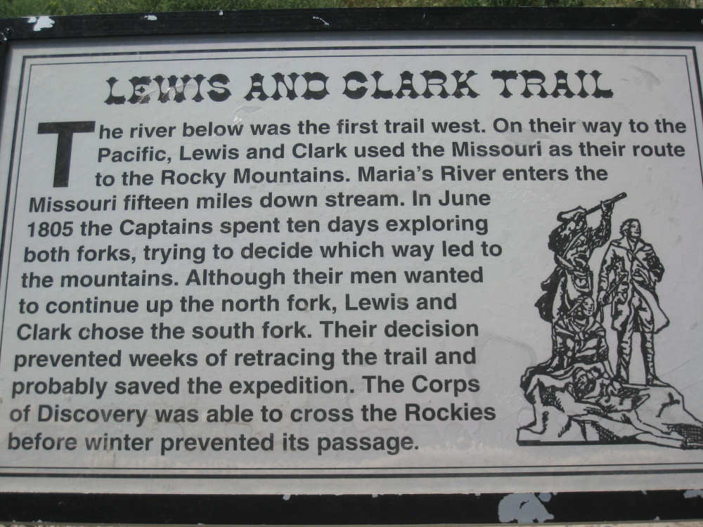
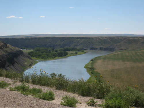
Today was a big historical marker day. When we stopped at the little town of Carter to eat our sandwiches, we found two Lewis & Clark plaques in a field next to a bar/restaurant that had been closed for a year or so. We didn't see anything else in Carter except for grain silos, some houses, and a sign for a quiliting shop. Then as we approached the town of Fort Benton, a very historic town itself, we found a viewing area where we could see the Missouri River and a bit of the town below us. It made our position, being up on a plateau, very clear; we dropped another 200-300 feet very quickly going into the town. There were also a half-dozen historic markers up there in the viewing area, most of which were about the town and the area nearby, and only one or two about Lewis & Clark, the main point being that it was near here that Lewis correctly chose to go up the Great Falls fork rather than the Marias River. We took pictures of all the plaques there and marvelled at the beautiful view before going the last 3 miles into town.
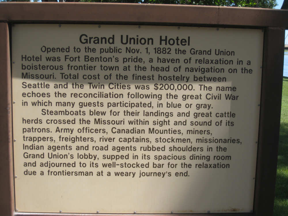
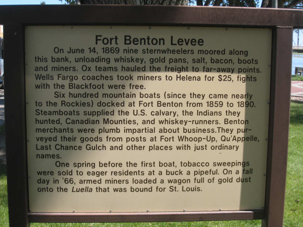
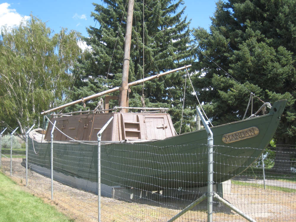
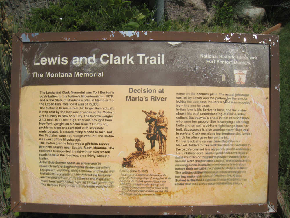
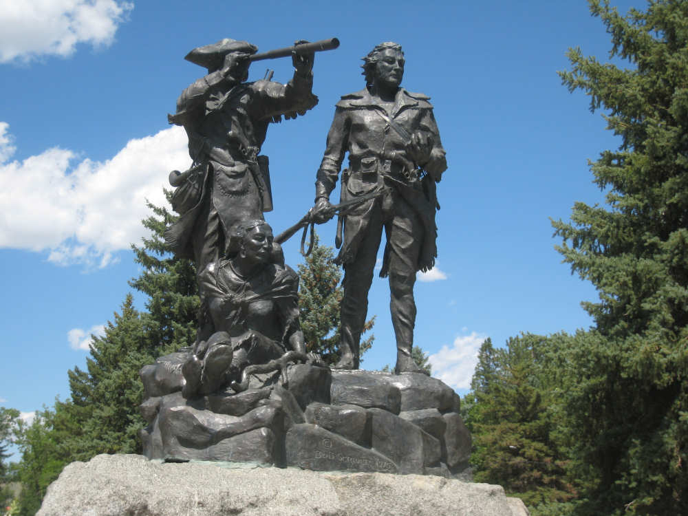
We arrived in town around noon, having left Great Falls about 7:40. We had reservations at a fancy hotel - the Grand Union, one of several places in town that is a National Historic Landmark; we knew we were awfully early to check into our hotel, but were aghast when the woman at the desk told us the room wouldn't be ready until 4. She also told us we couldn't bring our bike inside until after 10 pm when the restaurant was closed. We were thoroughly annoyed at this point and stalked off to have some food while we considered what to do. We found a very friendly restaurant a block or so away and ended up bringing our laptop over there and working on the website for an hour or two. The rest of the time we wandered along the riverfront taking in the sites. There were a number of historic markers in the park along the river, as well as a lovely walking bridge over the Missouri, a statue to a faithful dog named Shep who waited at the train station there for his dead owner to return, a replica of a keelboat used extensively in the 1800's, and finally a statue of Lewis, Clark, and Sacajawea commemorating their choosing the right fork. Some of the markers here were essentially the same as the markers at the viewing area, but they were enough different that we thought they might still be of interest; sorry for the duplication.
When we headed back to the hotel to check in around 4, there was another woman at the desk who was much more helpful and accommodating. She found a cubbyhole to tuck our bike in for the night and answered all our usual questions about the timing of breakfast and where to get ice, etc. So we went up to our room for a shower, feeling a great deal more mollified. We will be going down to dinner soon which should cure any lingering ill will we might still have. We ended the day at 42 miles in 3-1/4 bike hours, even better time than yesterday.
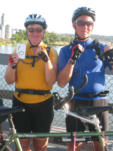
Our official 6,000 miles celebration photo -
note the ingenious way we handled the 6
(Pat did better, didn't he? At least one zero worked,
the other drifted off a bit)
|
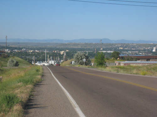
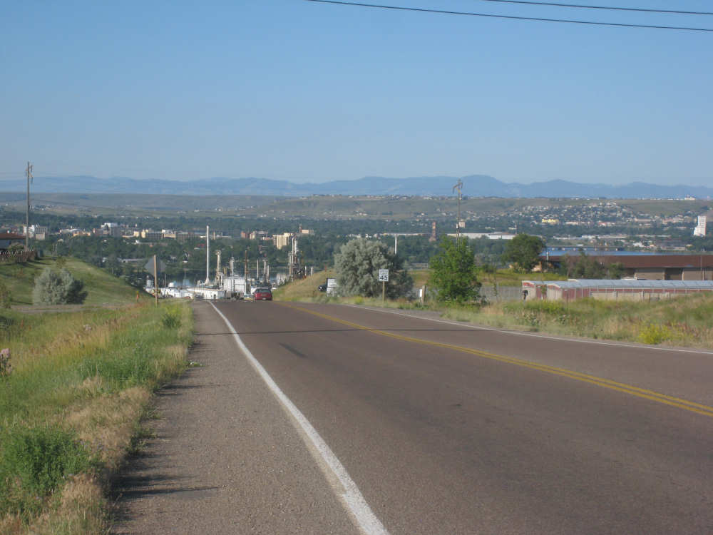
Looking back on Great Falls from the top of the hill
|
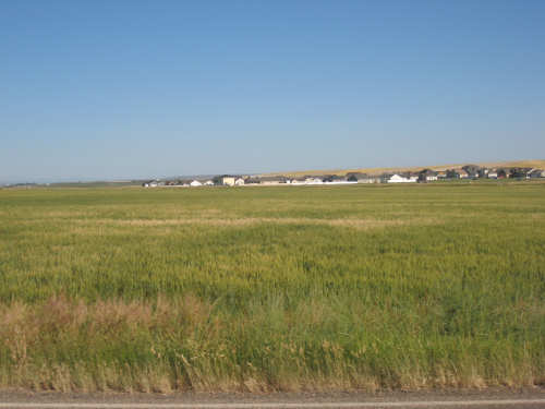
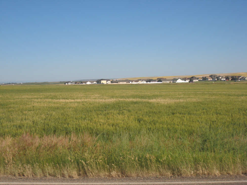
A cluster of houses out in a field - Great Falls' suburbs?
|
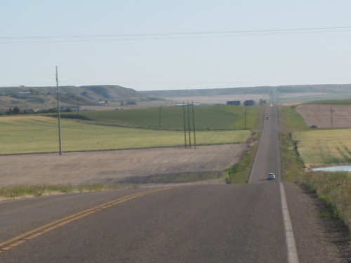
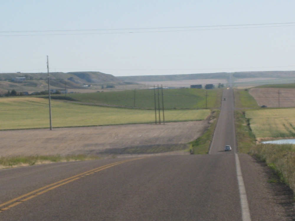
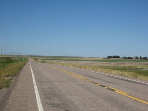
Long, straight, rolling Hwy. 87
|
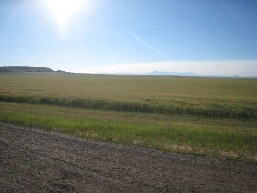
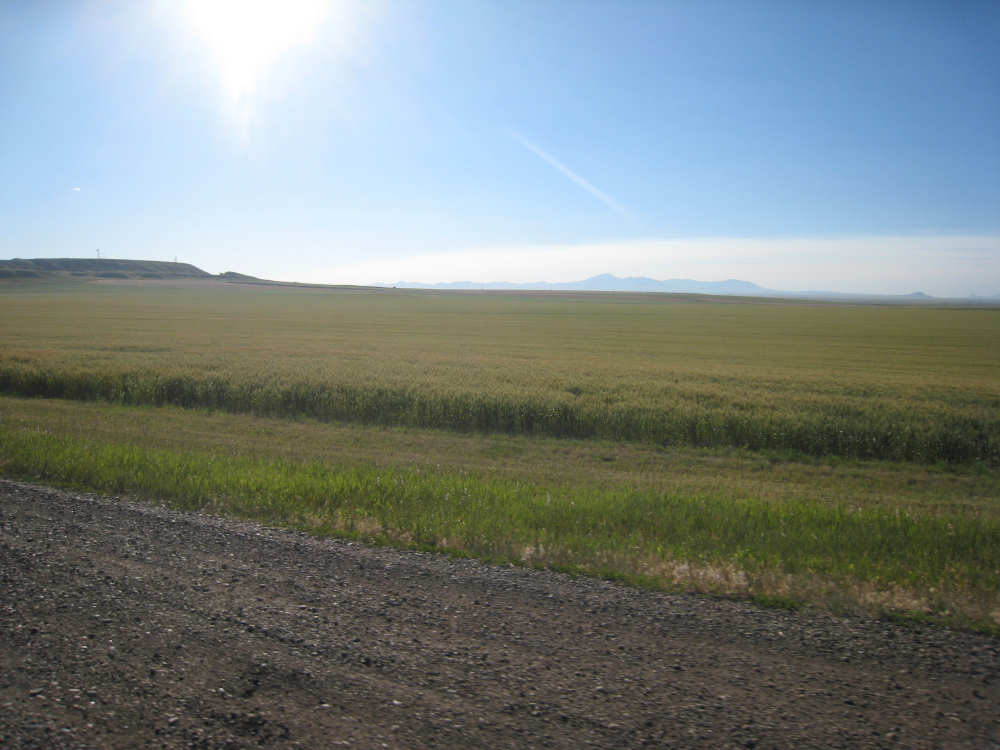
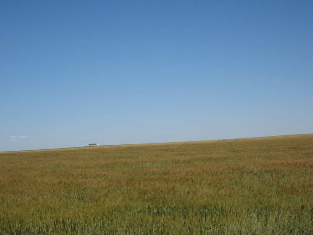
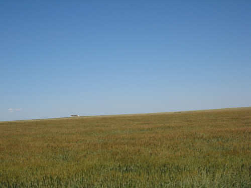
Fields of grain go on and on
|
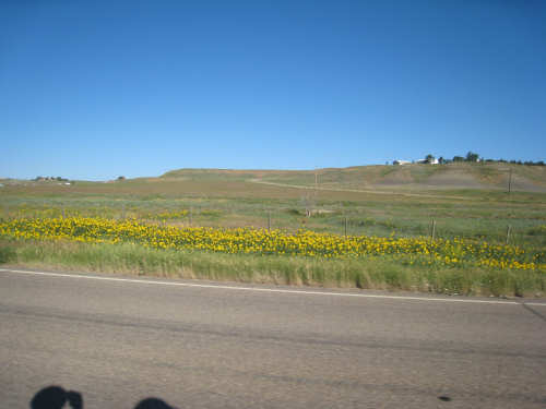
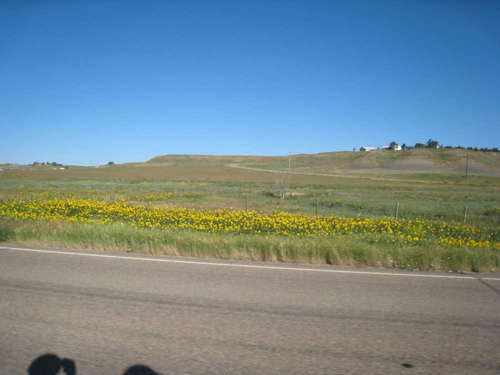
Yellow flowers spice up the scenery
|
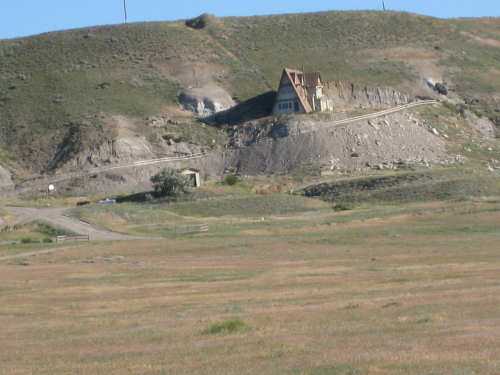
Big house on the prairie
|
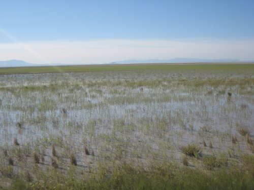
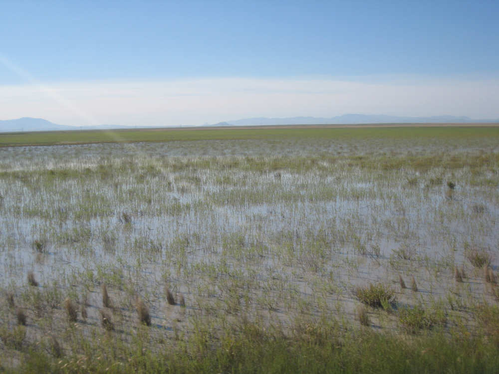
Some fields were under water - rice, perhaps?
|
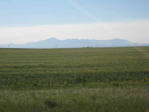
Off in the distance, the Highwood Mountains
|
Big sky country indeed
|
Looking back on our long, straight road
|
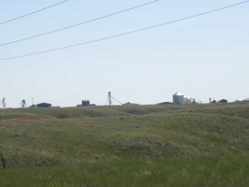
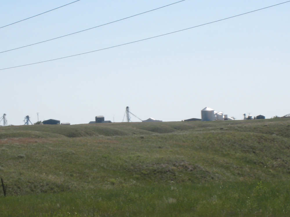
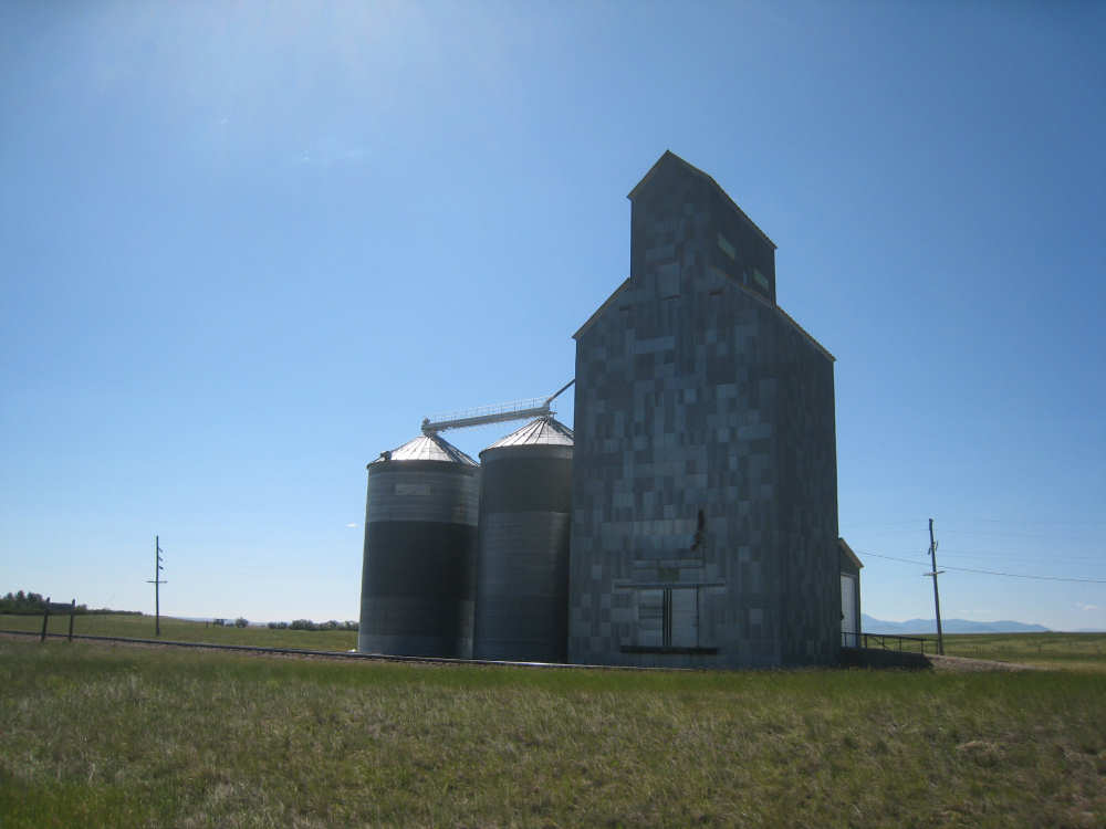
Grain silos in Carter
|
The 2 historic markers in Carter regarding Lewis & Clark's exploration in the area
|
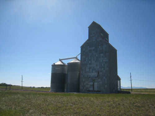
A large grain silo next to the railroad tracks
|
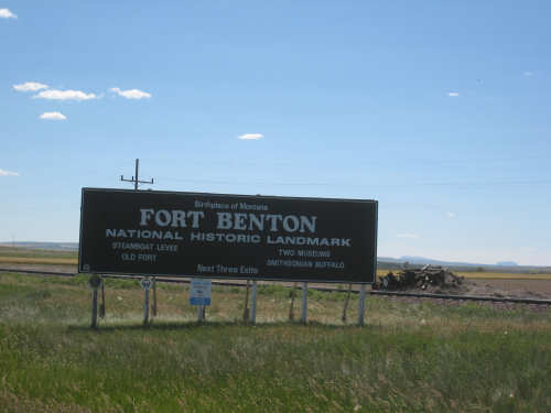
Our welcome to Fort Benton
|
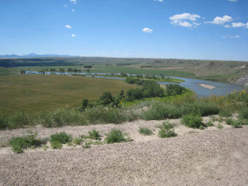
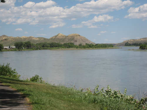
The view from the viewing area outside of Fort Benton
|
The town peeks out slightly below the large plateau on the left
|
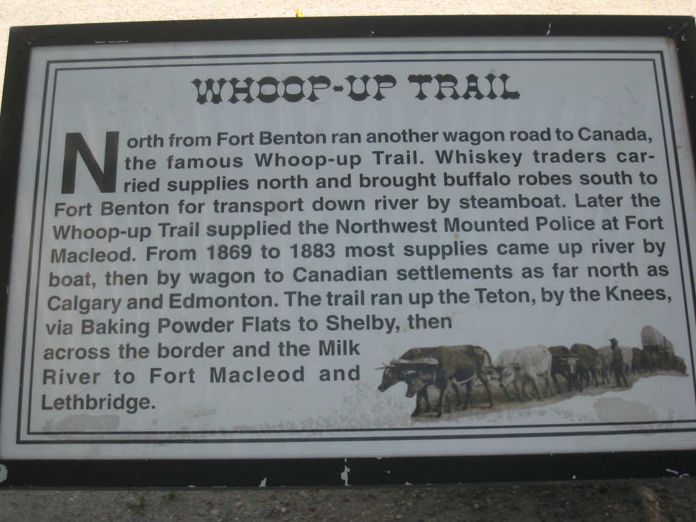
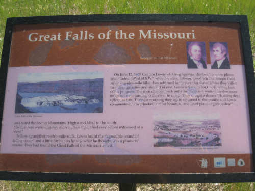
The series of markers from the viewing area with tidbits about the area's history
|
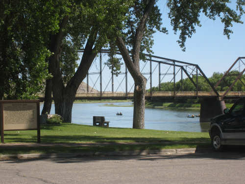
On the riverfront in town - a walking bridge over the Missouri and canoes in the river
|
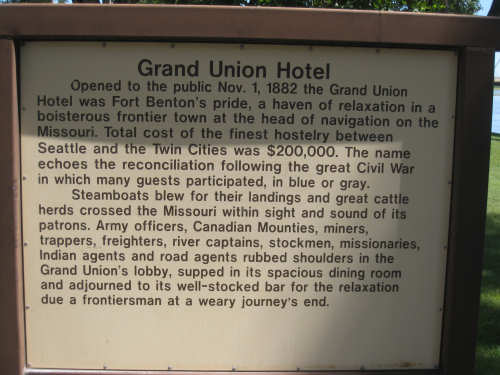
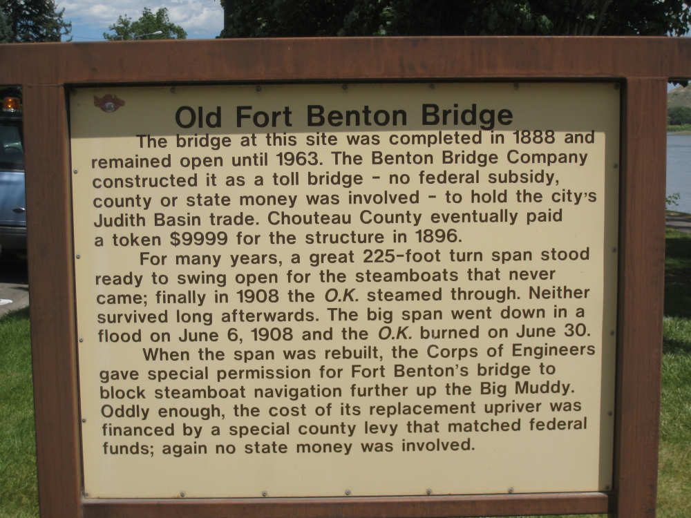
A marker about the historic hotel we stayed in...
|
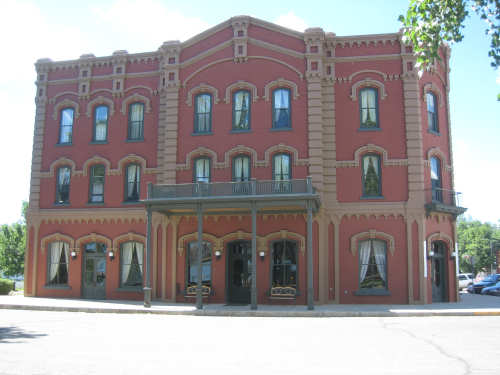
and the hotel itself
|

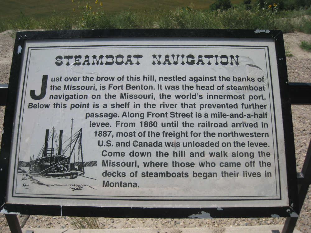
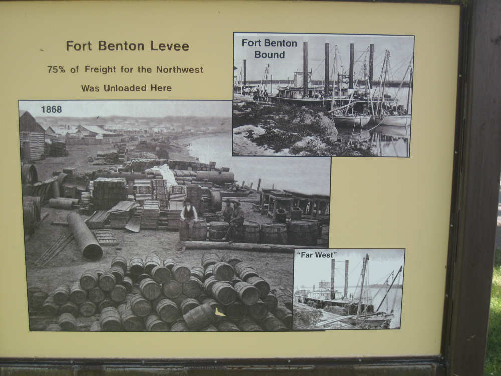
Marker about the Fort Benton levee...
|
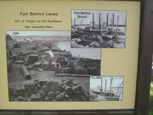
and pictures of ship loading there
|
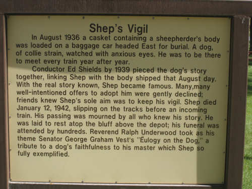
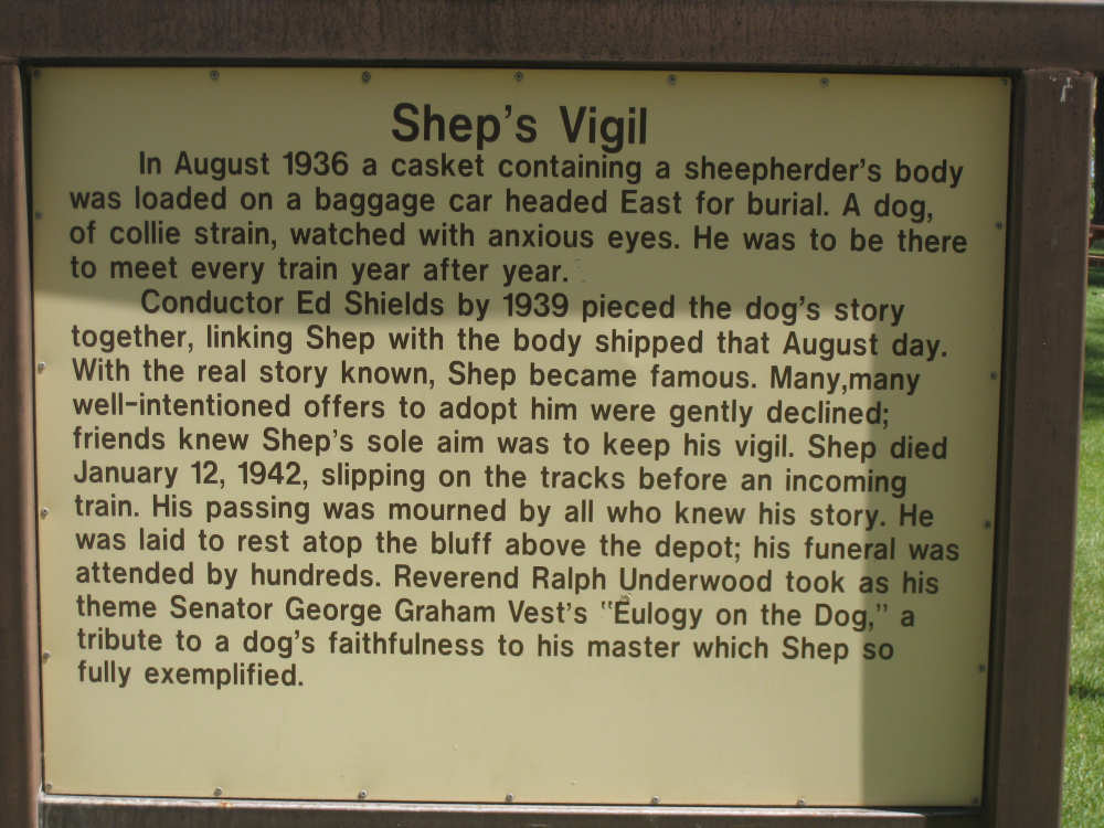
The story of Shep...
|
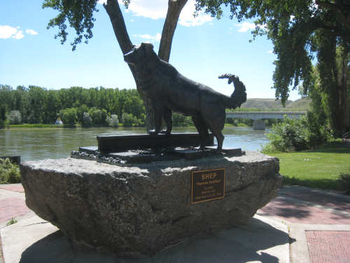
and a statue of the faithful dog
|

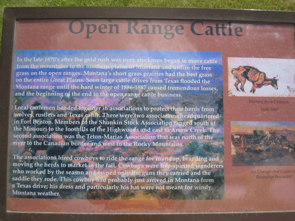
A marker about the cattle business
|
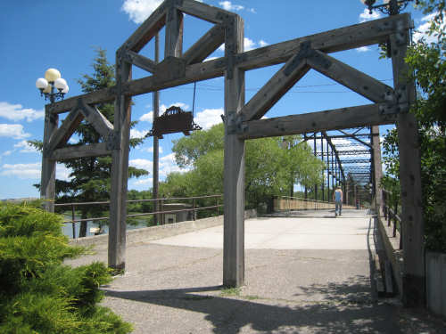
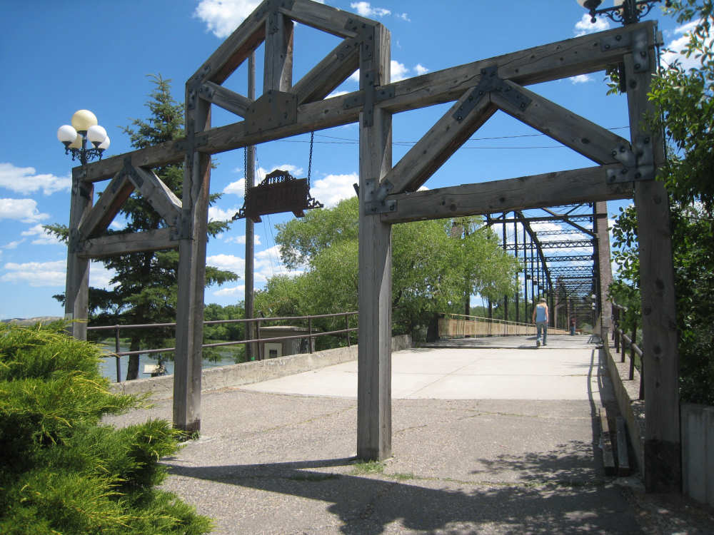
Gateway to the walking bridge
|

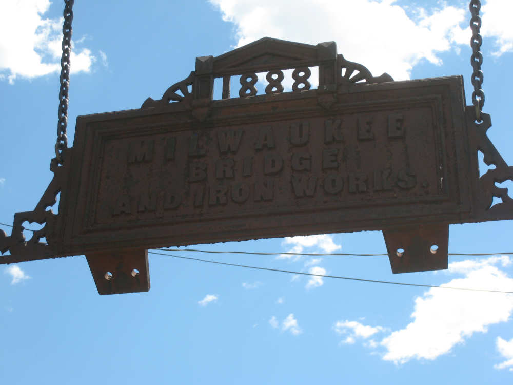
A close-up of the sign in the gateway
|
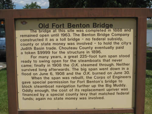
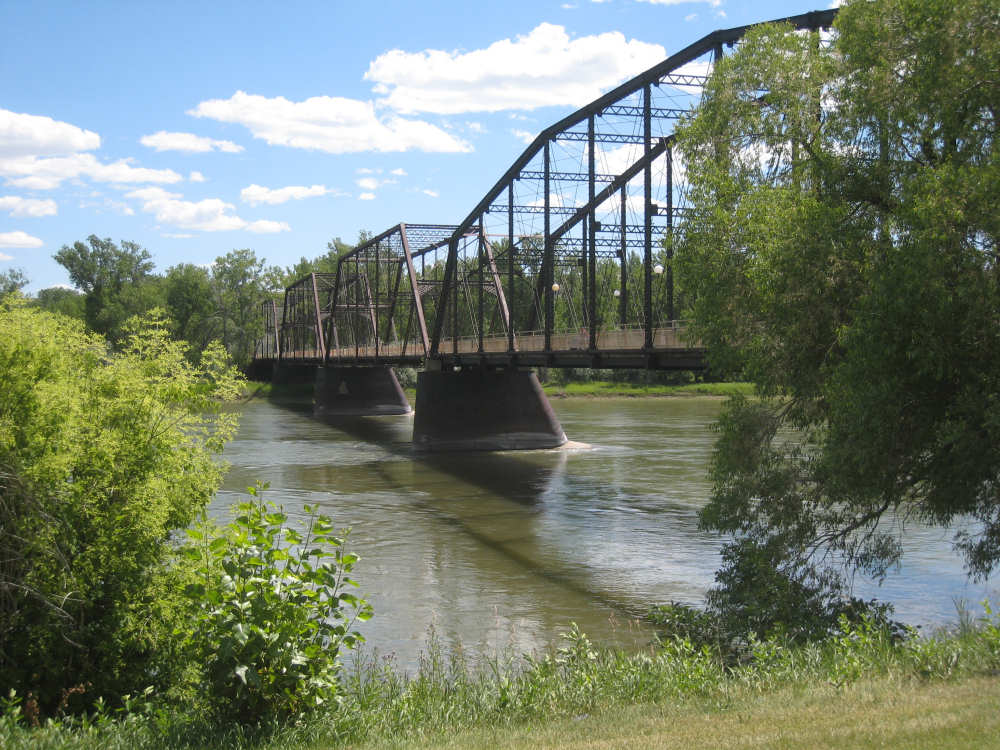
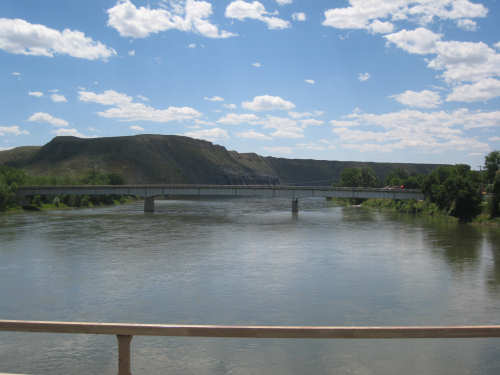
A marker about the bridge
|
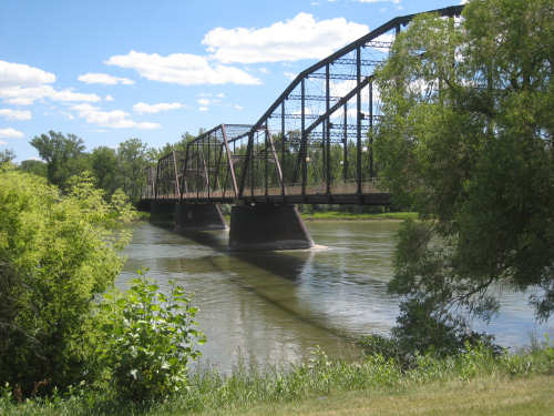
Another view of the bridge
|
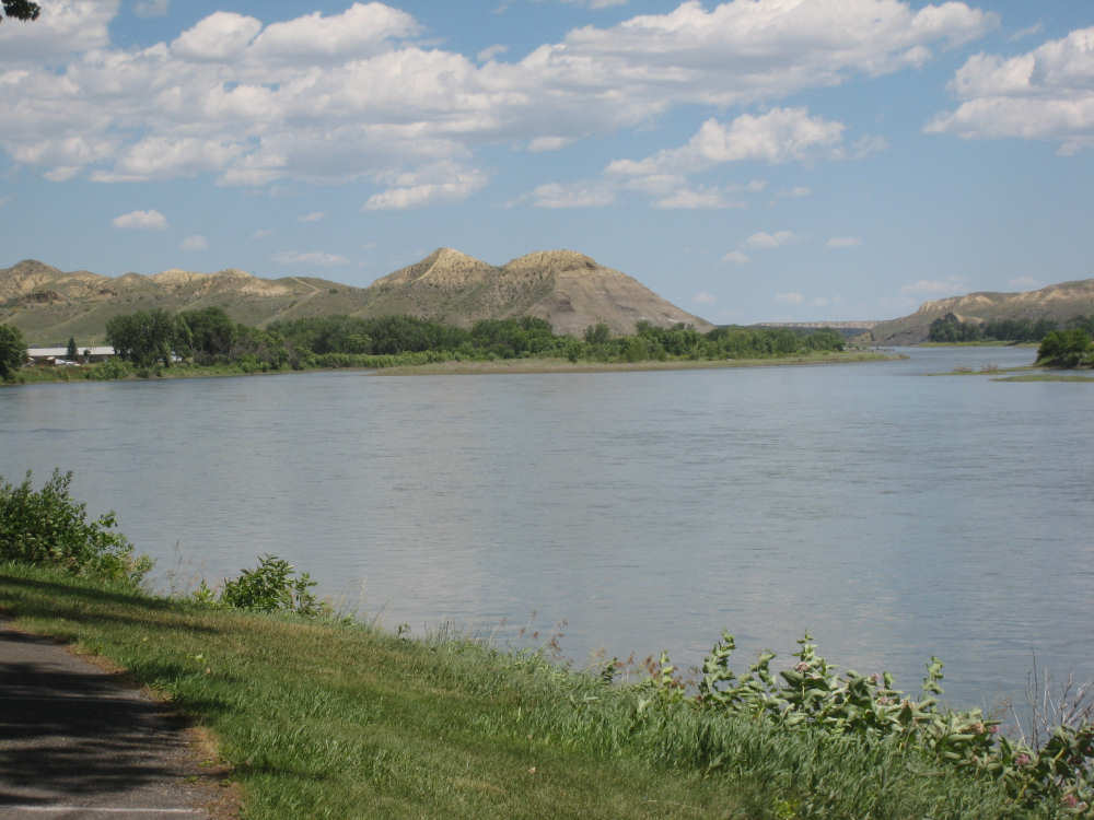
The view from the bridge - downriver...
|
and upriver
|

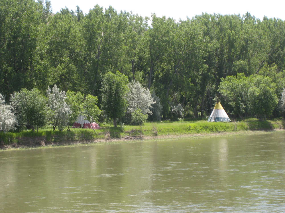
Tipis across the river
|
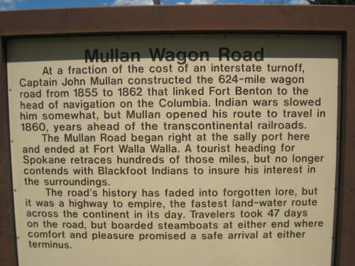
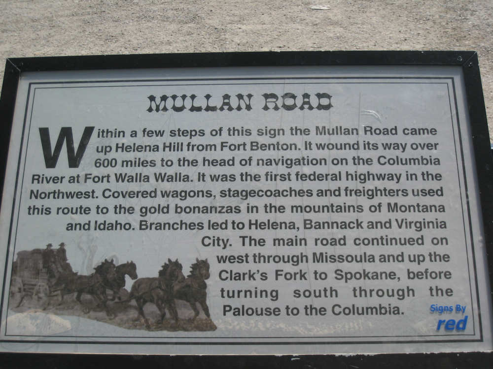
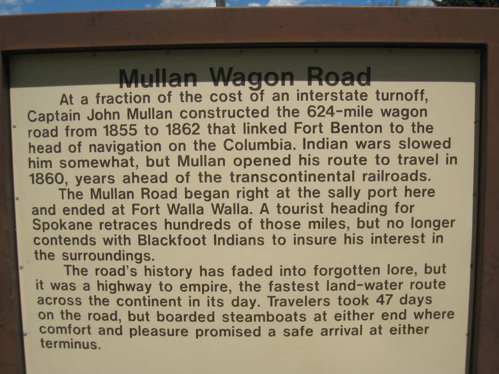
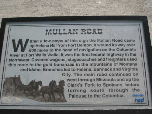
Marker about the Mullan Road...
|
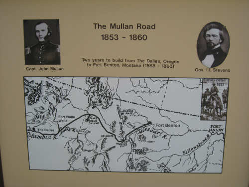
and a map of the road
|
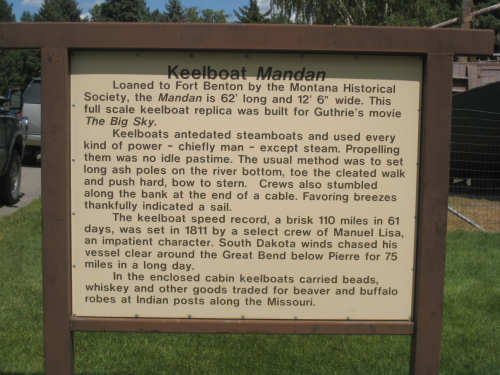
A marker about keelboats...
|

and a replica of one
|

A marker about the Lewis & Clark memorial statue
|

The Lewis & Clark memorial statue
|