Wednesday, July 16, 2008
Denton, MT to Lewistown, MT
39 miles (6158 total miles)
Small state, Montana. Not geographically of course, but population-wise. We were talking to the owner of the Back Roads Cafe in Denton where we had breakfast this morning and told him about Bob, the owner of the Riverfront Restaurant in Fort Benton, helping us find the motel in Denton and he of course knew Bob and told us Bob used to own the Back Roads Cafe! And, just as a side comment, one of the things that's struck me about Montanans is how proud they are of their state - they are proud of their pioneer heritage, their wilderness and wildlife, their trees and flowers and mountains and rivers, their grain production and cowboy spirit. They seem to be honest, simple folk who work hard and enjoy a good time. Very inspiring.
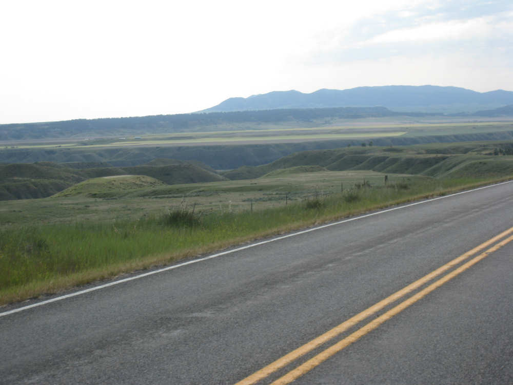
We left Denton around 7:45, still feeling a little tired out from yesterday and, I guess, the week in general. We were very much looking forward to our rest day tomorrow. Less than 40 miles today, but they weren't very easy. Lots of climb although in shorter, less steep spurts than yesterday's hills. The wind was calm today; it rained a little last night and today started out sunny and warm. It clouded over a little later and didn't get above 77 degrees as far as I know, but it felt warm going up some of the hills. The terrain was pretty flat to start with, too, with farm fields and pastures stretching out to the horizons to our right and left. Things started to look more interesting about 12 miles out when we started downhill into a valley where the Judith River flowed. The hills and ravines to either side of us were quite spectacular. I was trying to take pictures while Pat was barrelling down the hill (I can't use my brake while I'm taking pictures, so we were going faster than I would have allowed) - I'm surprised the pictures weren't all blurred. It was interesting that we could still see Square Butte behind us when we were up high enough. We had some new views of mountains today - the South Moccasin Mountains to our right, which we actually went around during the course of the day, and the Judith Mountains to our left. The Judith River, and I assume the Mountains as well, were named by William Clark after the woman he later married. We also crossed the Warm Springs Creek several times and saw a sign for a Gigantic Warm Springs a little before we turned onto 191 for Lewistown. Apparently, there is a warm spring here (68 degrees year-round) where people can swim.
It was a long, slow climb up from the Judith River canyon, almost 20 miles of generally uphill, mostly gradual with a lot of ups and downs. After our turn onto 191, we finally started to head downhill into Lewistown. Lewistown is the geographical center of Montana, and as it happens, the hotel we're staying in is the exact geographic center of the state. Hopefully, we'll have a little time to do some sight-seeing tomorrow and will be able to give you more interesting facts about the town and the hotel. We ended the day at 39-1/4 miles in under 4-1/4 hours of bike time, arriving at our hotel at 1:15. We have a great connection and we finished yesterday's page and should have today's finished soon. Friday and much of next week will be another story - we expect to have very limited internet and phone connections, but we'll do our best. Oh, one last thing - our friend Terry from Tempe, AZ sent us pictures of Lewistown from their recent vacation here, on June 12th, just a month ago! We've included one of them below.
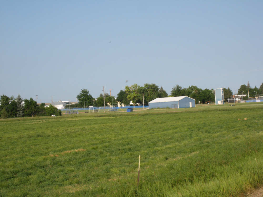
Looking back at the town of Denton |
Farm fields in interesting patterns |
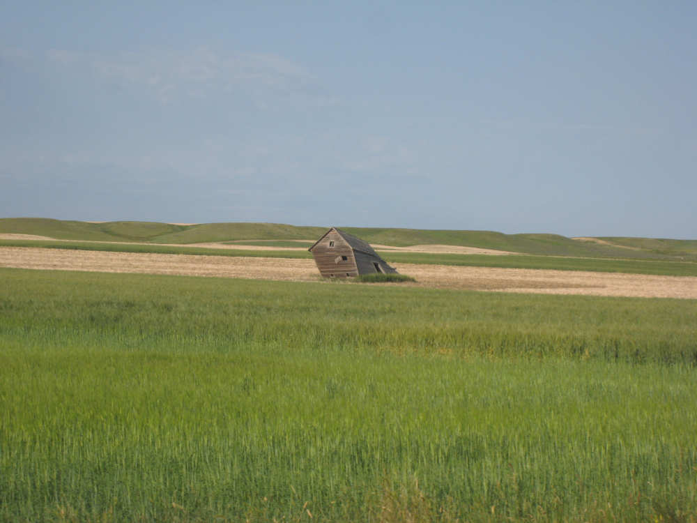
A lean-to that lives up to its name |
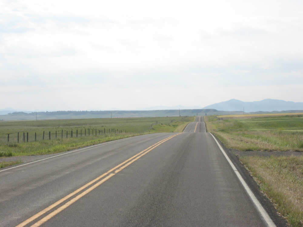
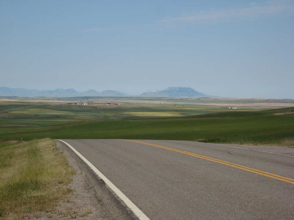
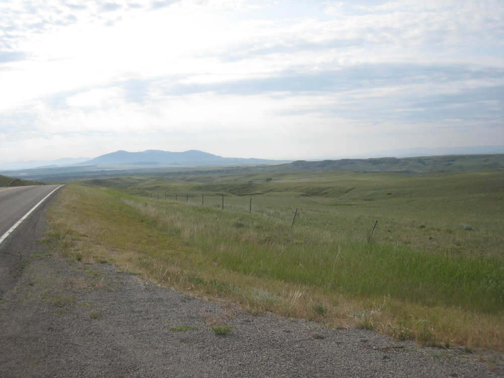
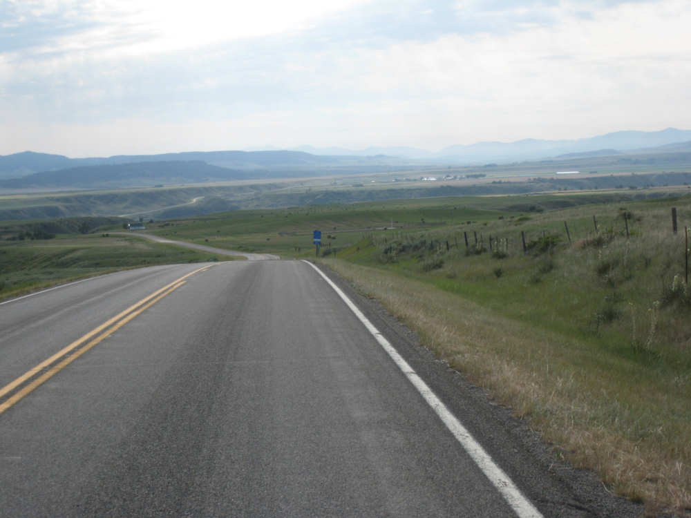
The rolling road ahead and the South Moccasin Mountains in the distance |
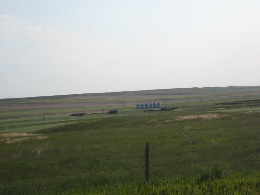
Huge grain fields and silos in their midst |
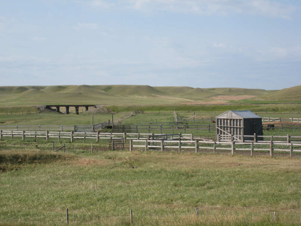
A ranch with a livestock pen and a railroad trestle in the backyard |
The terrain starts to get more textured |

|
Looking back from the top of a climb, we can see Square Butte on the right |
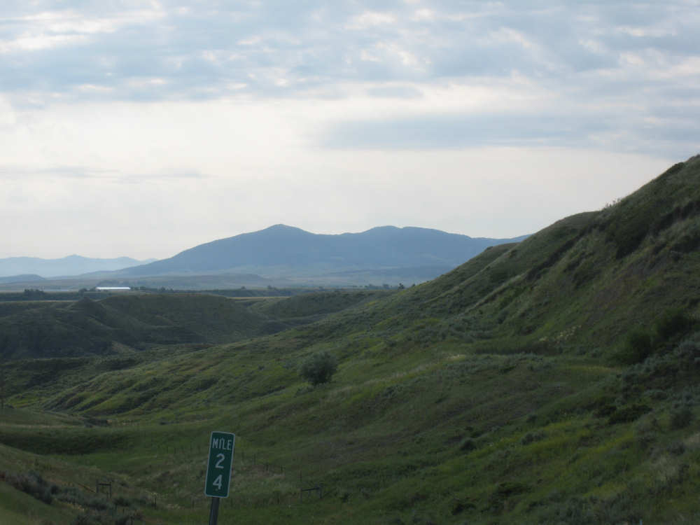
The South Moccasin Mountains still a ways off; the sky gets cloudier |
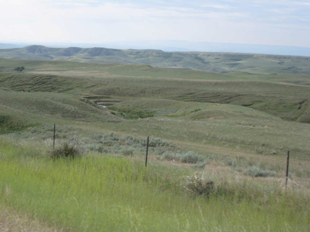
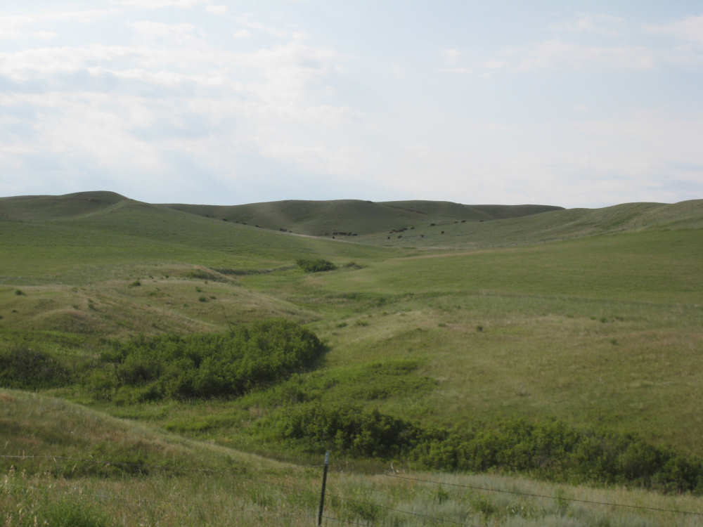
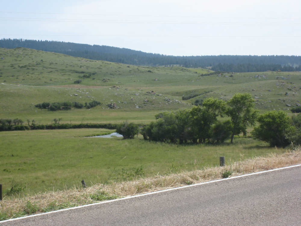
Another interesting ravine with a stream through it |
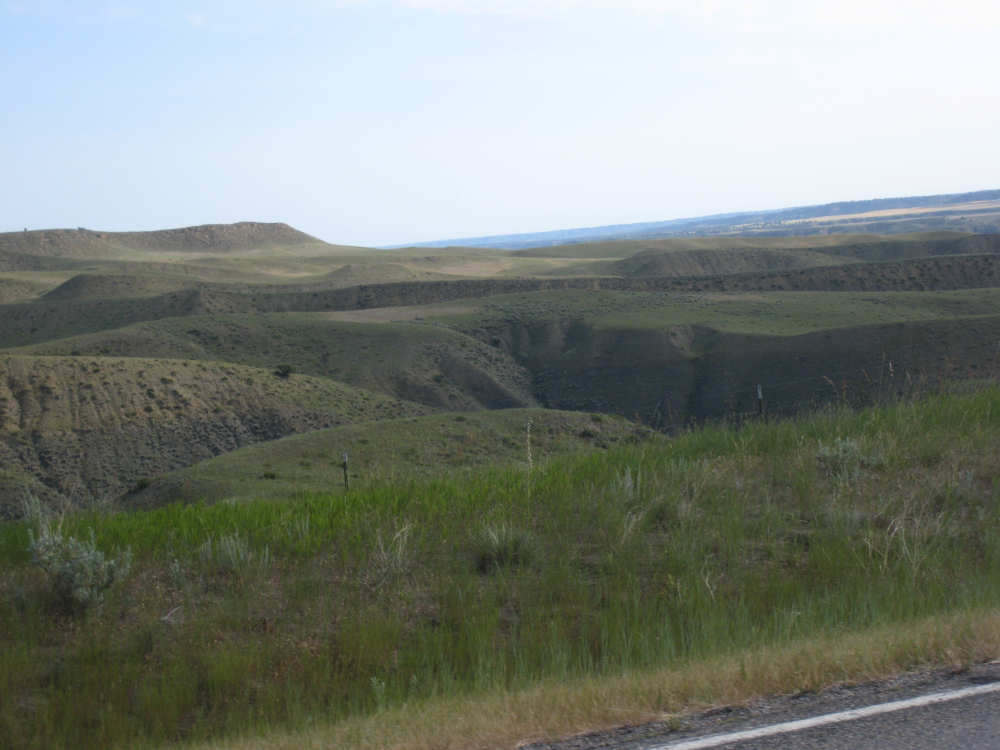
The ravines get deeper |
|
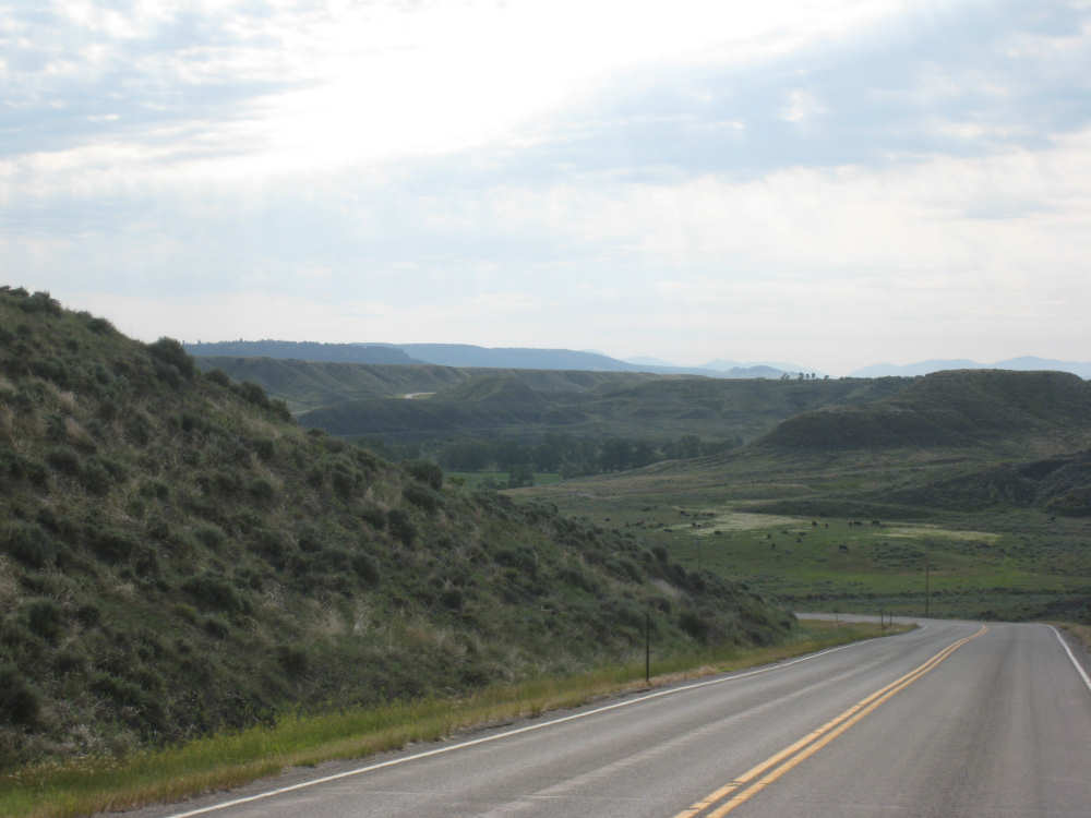
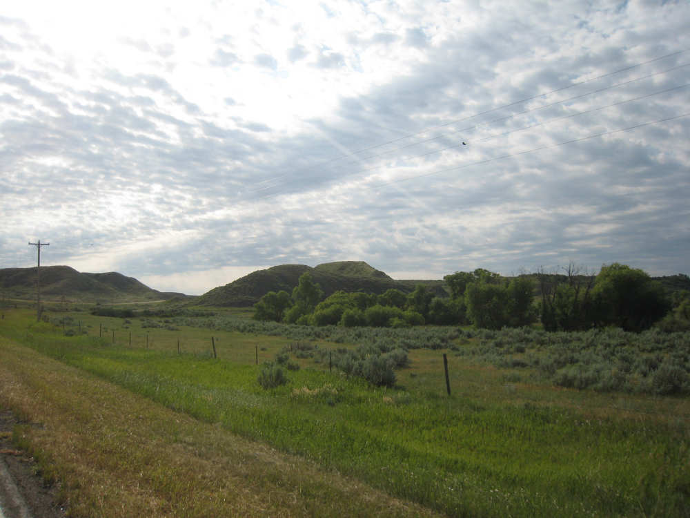
Our road can be seen to wind down into the Judith River canyon |
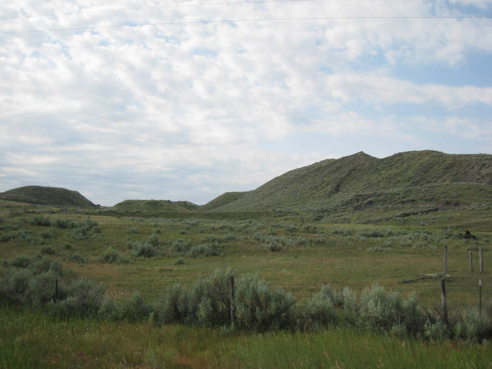
Beautiful green hills |
|
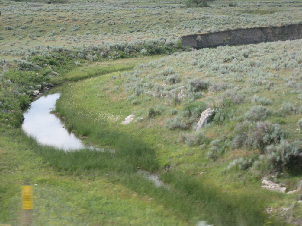
The Sage Creek |

Rounded cliffs appear on the left |
A valley opens up |
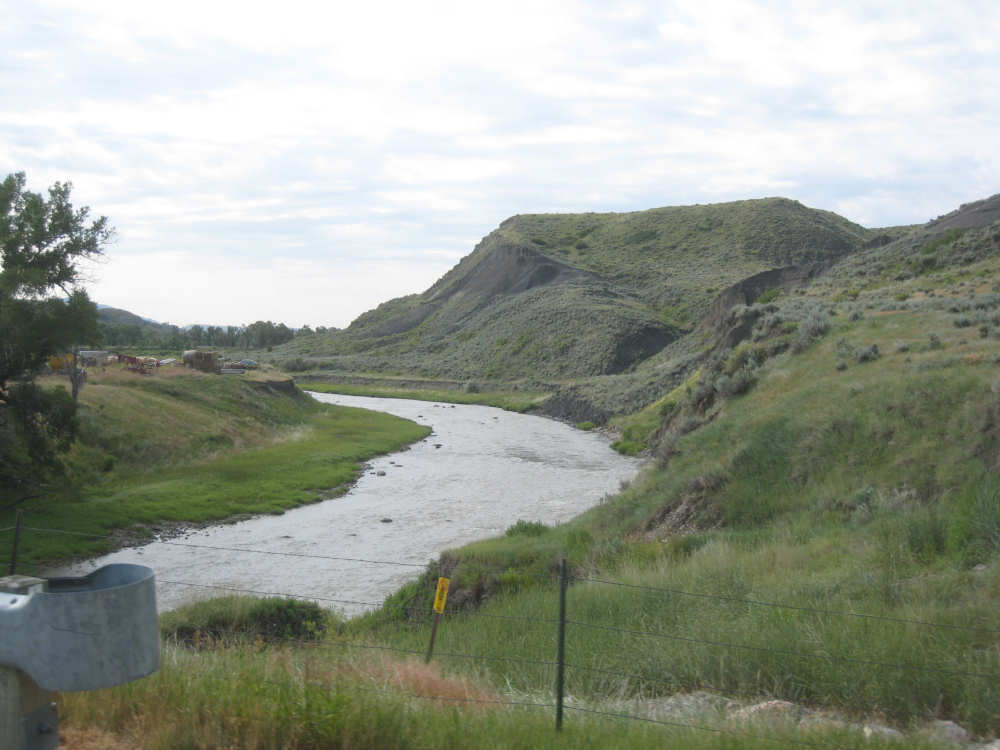
The Judith River |
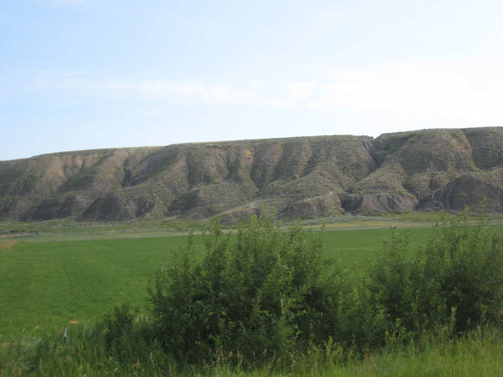
More of the rounded cliffs |

They even farm here |
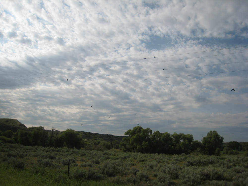
There was a flock of birds on the wires here, but most flew away |
More of the lush green valley |

On the climb up, the land looked drier, with sage brush... |
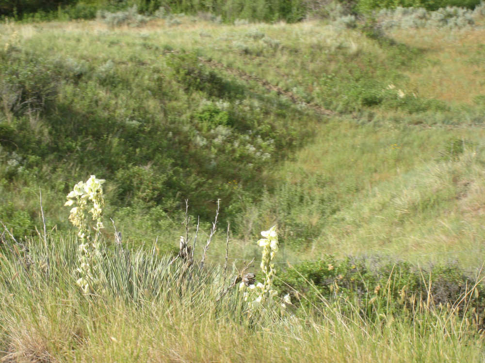
and yucca plants... |
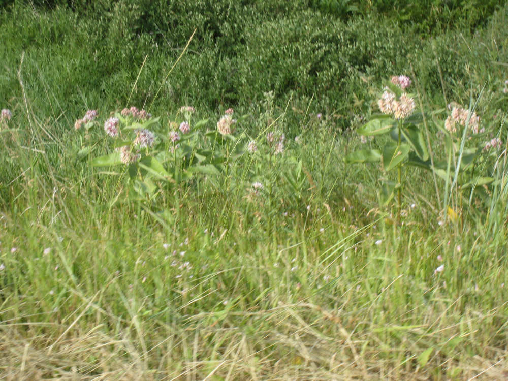
and lots of these pretty pink flowers |
Back to the huge farm fields |
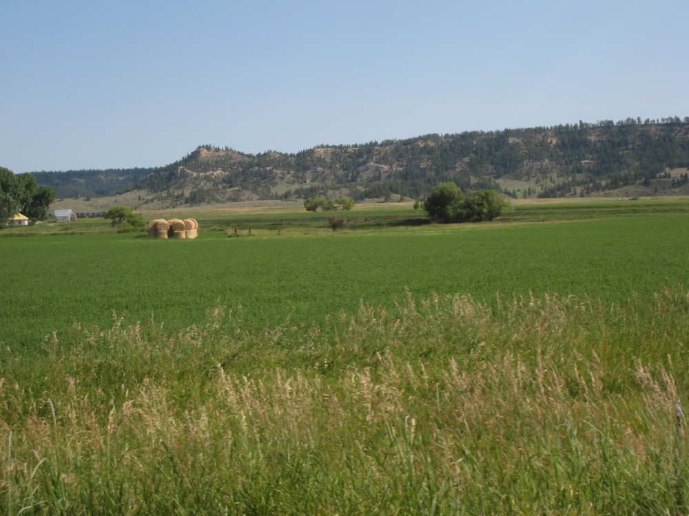
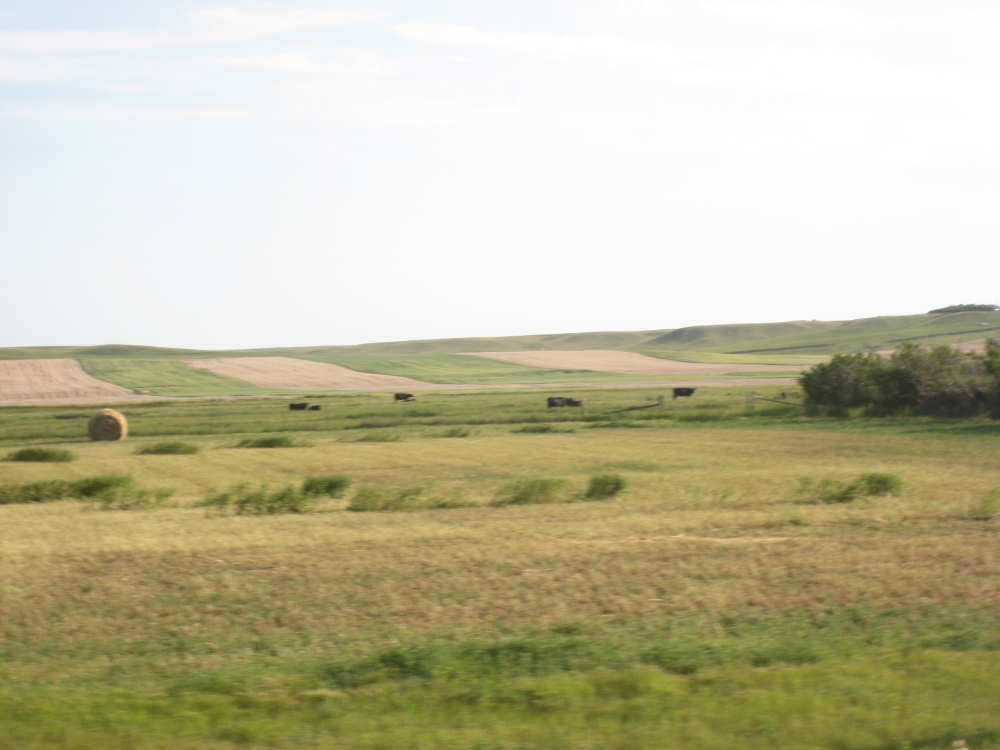
Hay bales stacked in another field |
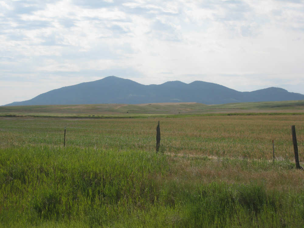
We're now behind the South Moccasin Mountains |
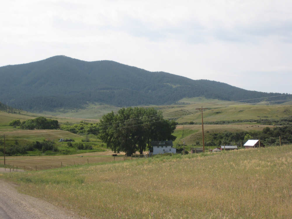
Farm houses look tiny below the mountains |
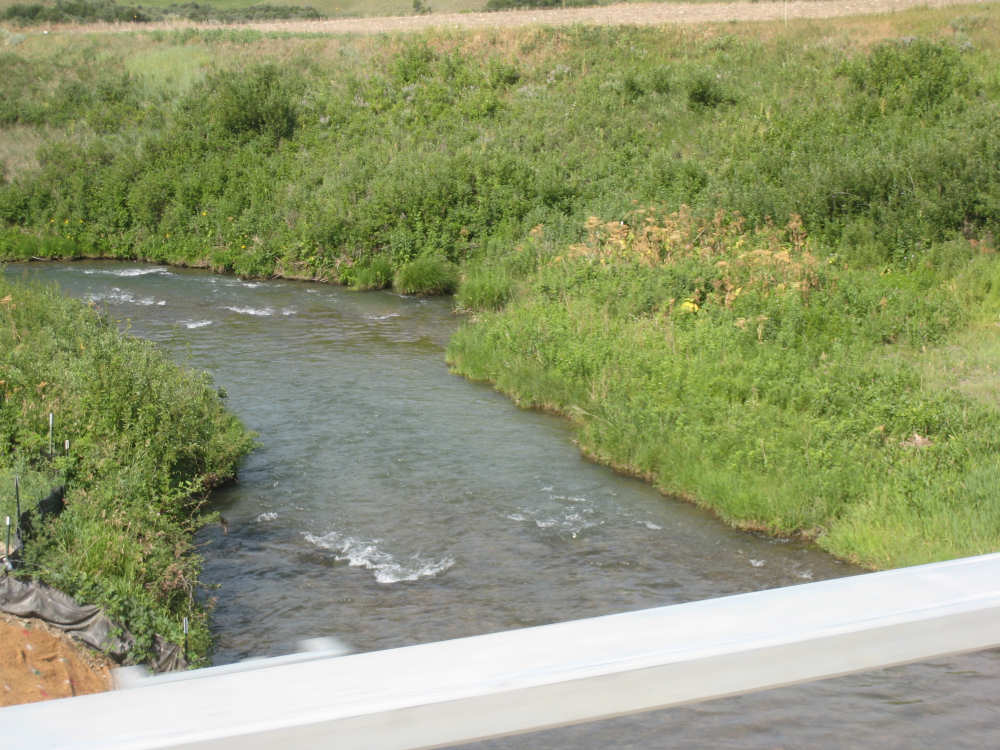
Warm Springs Creek |
The terrain here is a lot rockier, but still used for grazing |

|
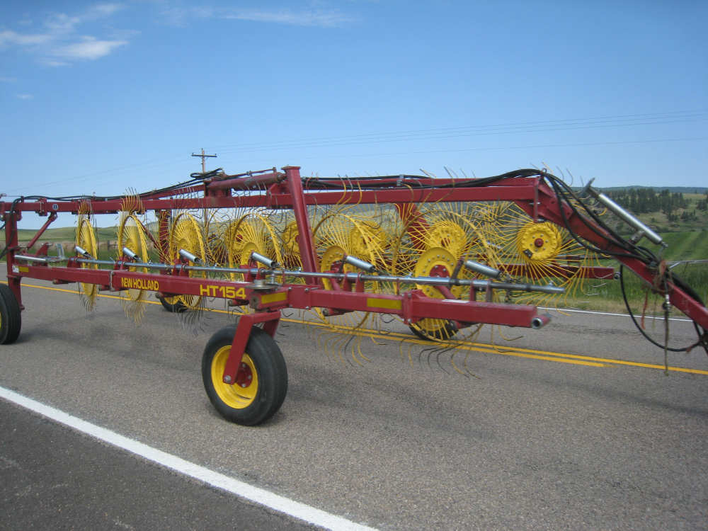
This beautiful piece of farm equipment gathers cut hay into rows for baling |
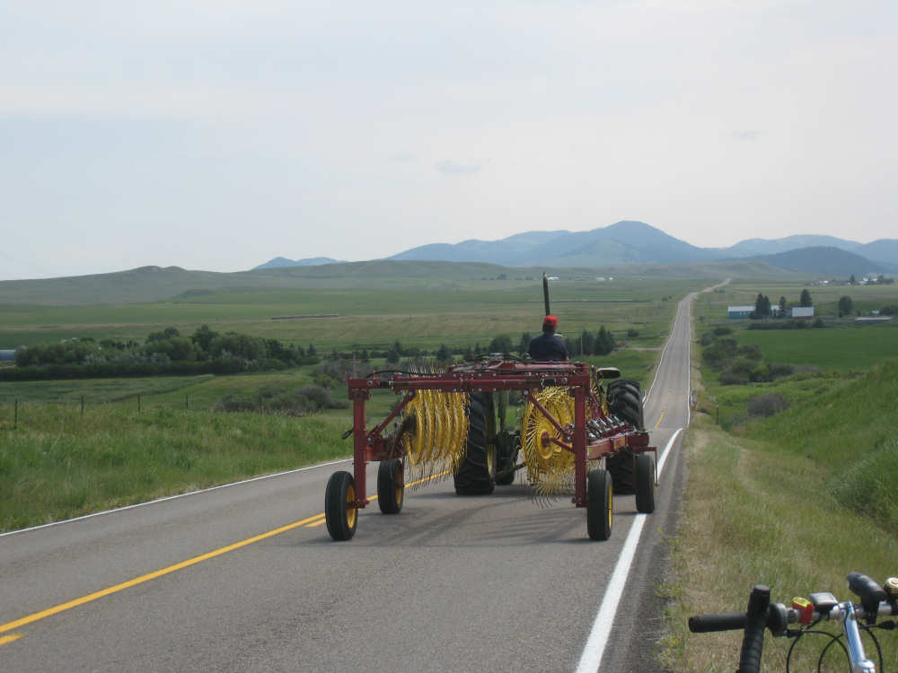
It was being towed down the road as we stopped for a rest |

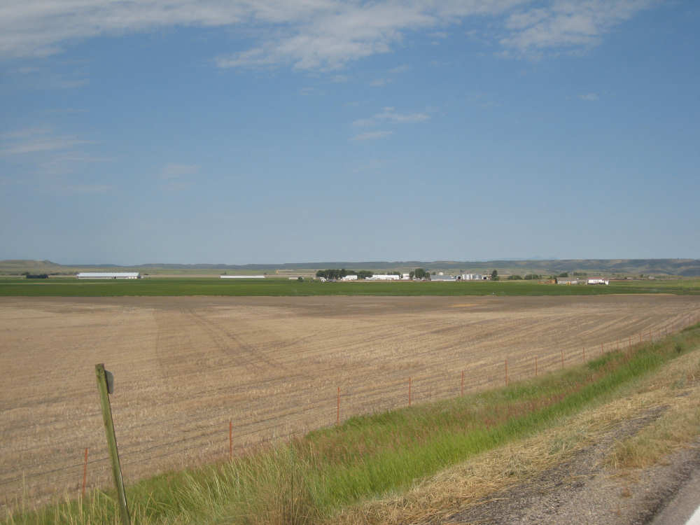
The town of Lewistown, down in the valley |
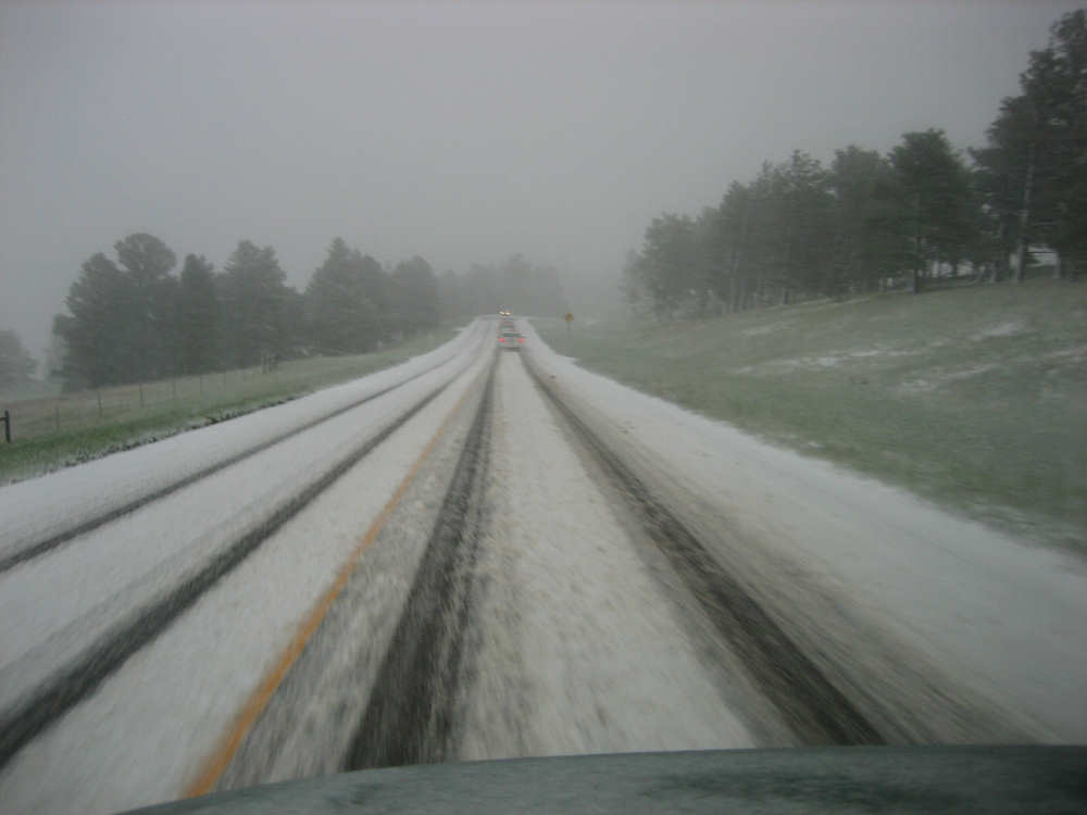
Whoops! A sudden snowstorm? Oh, that was last month |