Tuesday, July 22, 2008
Circle, MT to Wolf Point, MT
55 miles (6413 total miles)
Much easier day today, although it started with a near-disaster. We got up to a strong southerly wind which pleased us since we were heading north today. We put the bike outside our motel room to load it up, but before we could, the wind had knocked it over! It's fallen over a number of times on the trip but always with the panniers to buffer its fall. This time it fell right on the derailleur and bent it in a little bit - enough to make it impossible to shift gears. Pat tried to straighten it out with the pliers we carry in our tool kit, but it wasn't doing the trick. So he walked the bike over to the gas station next door where the owner was kind enough to let Pat use his tools. After quite a bit of fussing, Pat got it working (what a guy!). In the meantime, I had finished packing, gotten the camelbaks ready and walked down to the local grocery store to get some bananas and cookies for today's trip (another day with no services between our starting and ending towns), so when he was done, we put everything on the bike and left. By then it was 9:15. We were a little worried about how the gears would perform on the hills today, but everything went smoothly.
We were also worried about the 60% chance of thunderstorms predicted for today, so we had our plastic bags on the suitcase and tent stuff. It was overcast this morning when we left, which is always a good thing - it kept us from getting scorched by the sun like we were yesterday. Between the clouds and the strong breeze, we felt a lot cooler today which made the riding a lot easier. We kept an eye on the clouds behind us which were obviously dumping rain somewhere back there and, of course, with the wind behind us, we knew they were coming our way. They managed to stay mostly west of us; we got a few sprinkles at one point, but nothing more than that. The hills were a lot easier today, too - still a lot of up and down, but gentler and not as frequent. We arrived at our motel at 3:30, having done 54-3/4 miles in just over 4-3/4 bike hours, which we thought was pretty astounding. Granted, the last 18 miles were mostly downhill or flat. We were surprised to see that the temperature in Wolf Point was 100 degrees - it didn't seem nearly that hot. Yesterday, though, seemed like it must have been 100 at least.
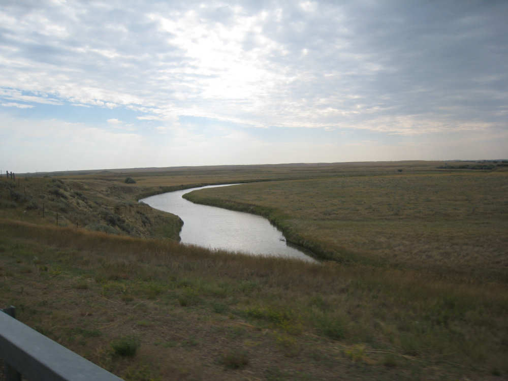
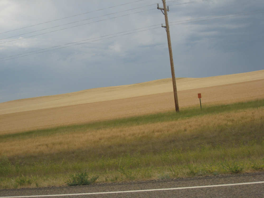
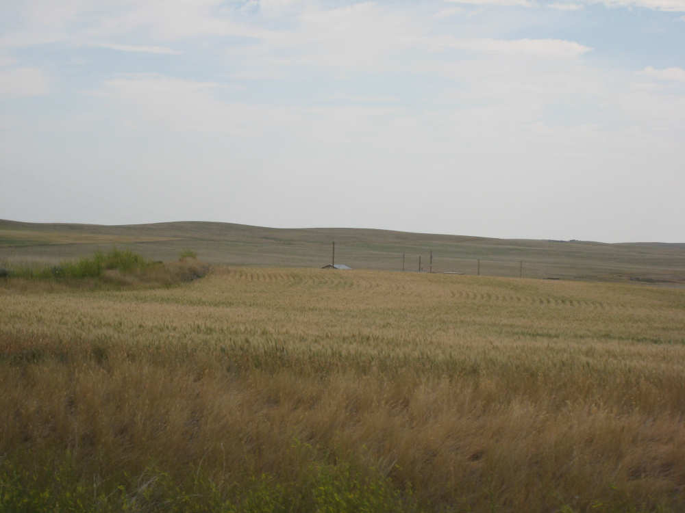
The high point today was reaching the Missouri River again. We had been at least 50 miles south of it since Fort Benton. The dam at Fort Peck flooded a large area around the Missouri so that there aren't any roads where Lewis & Clark followed the river between Fort Peck and Fort Benton. So we're now "back on track" and will be following the Missouri all the way down to St. Louis. We don't have a lot of pictures today, except for the end where we reached the Missouri. That's partly because of the threat of rain and having our camera tucked away more securely, but also because we mostly went past fields and fields of grains, which were beautiful in themselves but all very similar. When we approached the Missouri, we had a nice, gentle downhill toward the river with some interesting canyons to the sides of the road. We could see the town of Wolf Point about 10 miles away, down in the river valley. Pat, who never misses a Pepsi sign, spotted a little bar just before we got to the river and veered in to get some sodas. We had drained our camelbaks by then and topped them up with the warm water from our bottles, so we were ready for a cold soda. It turned out that one of the guys in the bar had seen us leaving Circle this morning, chugging up one of the first hills, and another guy had seen us later on in the day! I guess we have to be careful how we behave, we never go unnoticed.
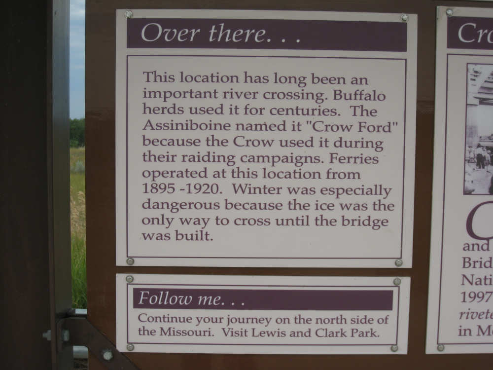
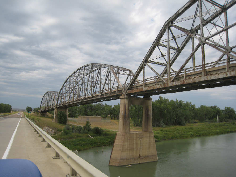
We could see a beautiful metal bridge over the river and assumed we would be crossing it. We soon saw that that bridge was not in use. According to the plaques around it, it was built in 1929-1930 but was decommissioned in 1997 for safety and structural reasons. The Montana Historical Society took ownership of the old bridge in 1998 to preserve it. The new bridge is just a continuation of the road, just slightly over the water. Once we crossed the river, we made our way to Wolf Point for another 5 miles or so on flat ground. We found our motel and settled in, deciding to walk to dinner, a half mile away, instead of riding. NOAA was still predicting a 50% chance of severe thunderstorms for tonight so we brought our umbrella. In fact, as we left the motel, the wind was blowing pretty fiercely and we could see heavy rain pouring out of the skies just south of us. We made it to the restaurant just in time before the storm reached town. It poured cats and dogs for about 15 minutes and then resumed for a few minutes a little while after that. By the time we had finished eating, though, the storm had passed and all we had to worry about was avoiding the big puddles of water that were everywhere.
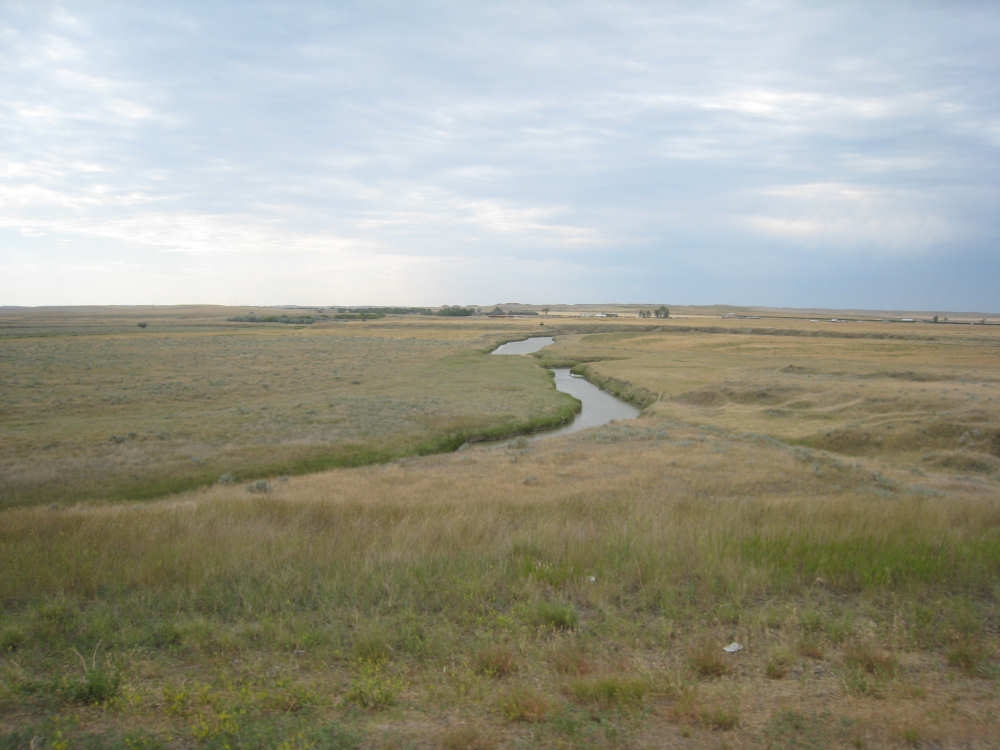
A creek runs through a farm field |
|
Vast fields of wheat - looking almost like sand dunes |
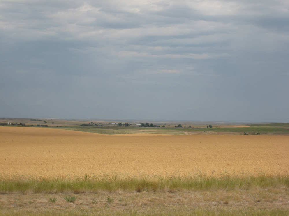
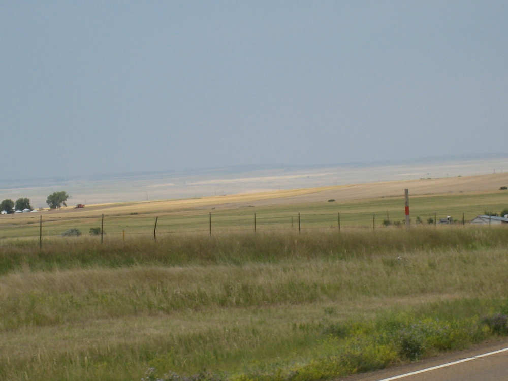
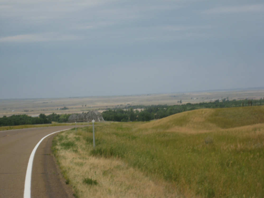
Tops of houses peek up from behind a rise |
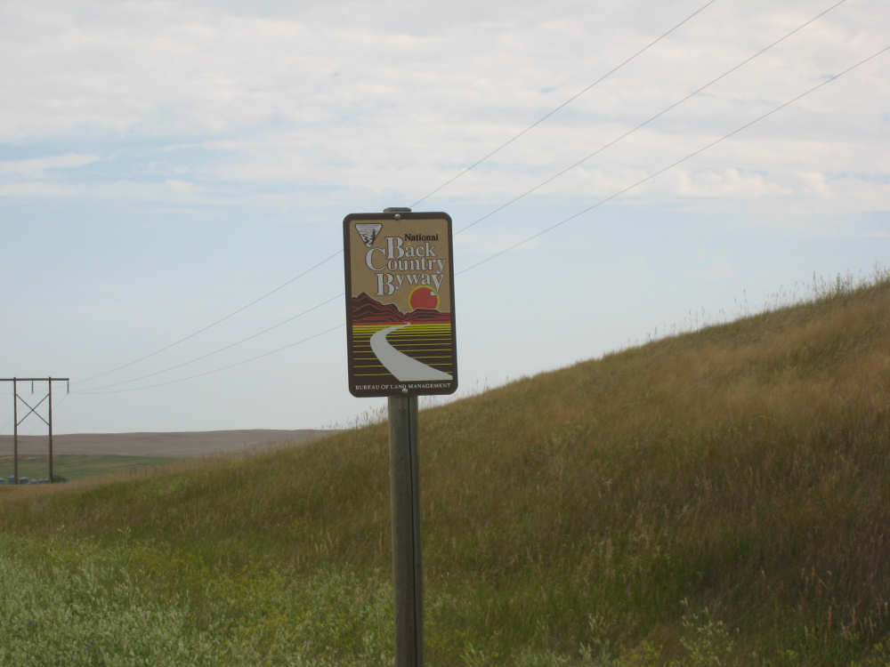
A Bureau of Land Management sign - calling the road a National Back Country Byway |
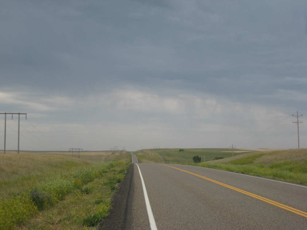
The road behind us, with rain coming out of very dark clouds |
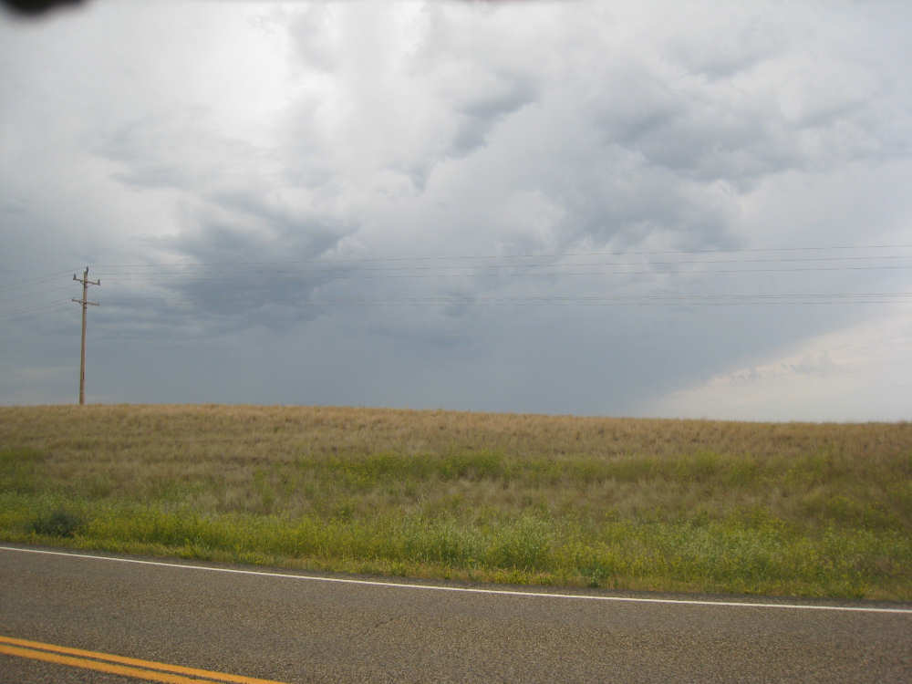
Clouds to our left look threatening too |
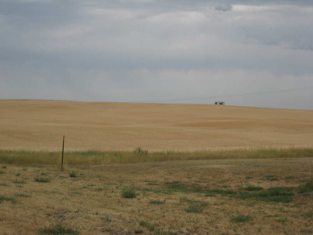
More golden fields |
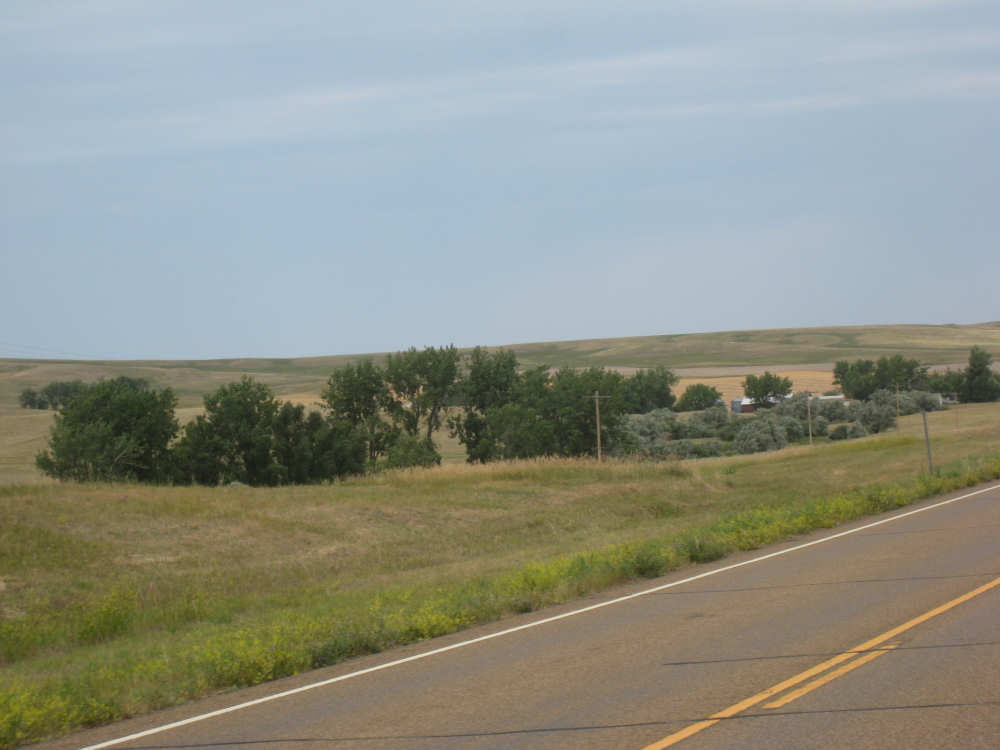
A farm house tucked amongst the trees |
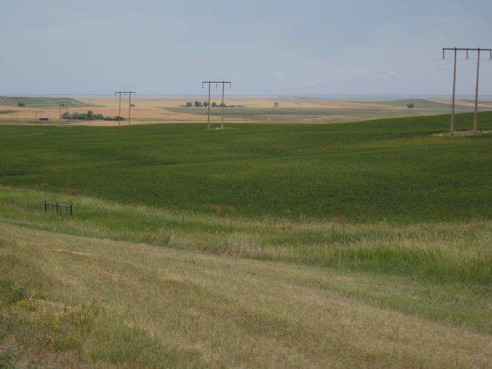
Green and gold fields alternate |
Farm houses well back from the road, and possibly next to a creek |
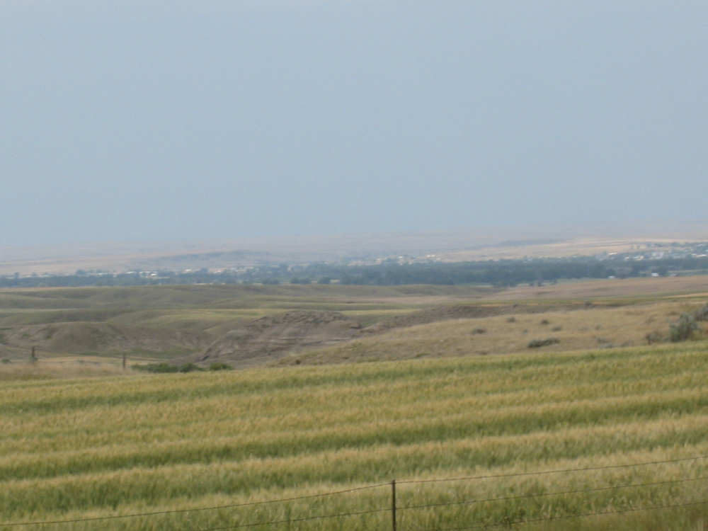
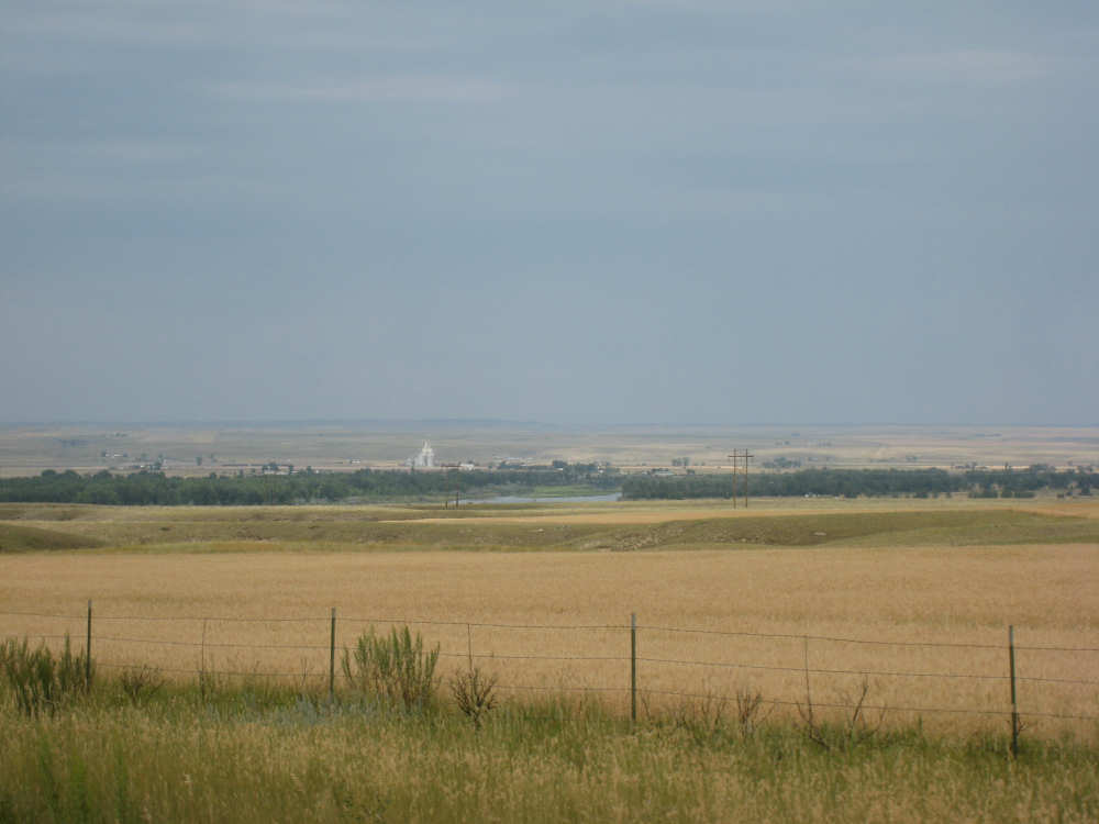
A hazy view of the town of Wolf Point as we near the Missouri River |
Fields off to the east near the river |
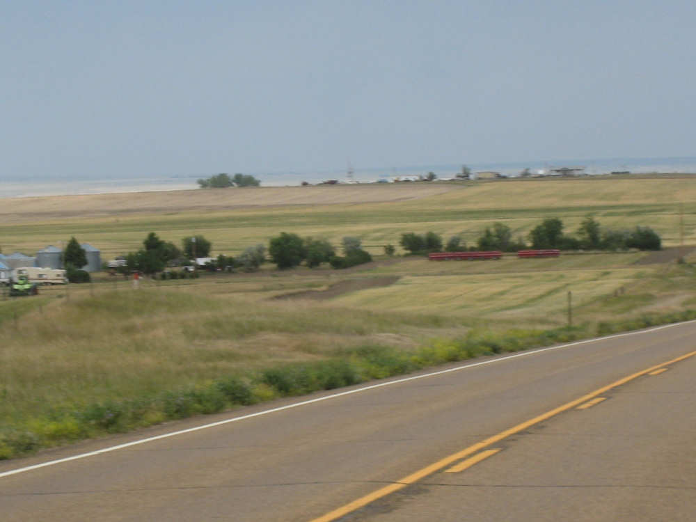
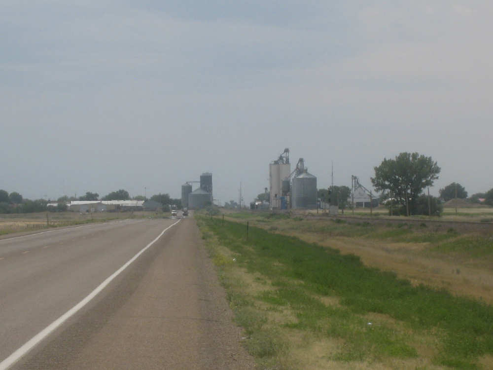
Farmhouses and silos as we approach the river |
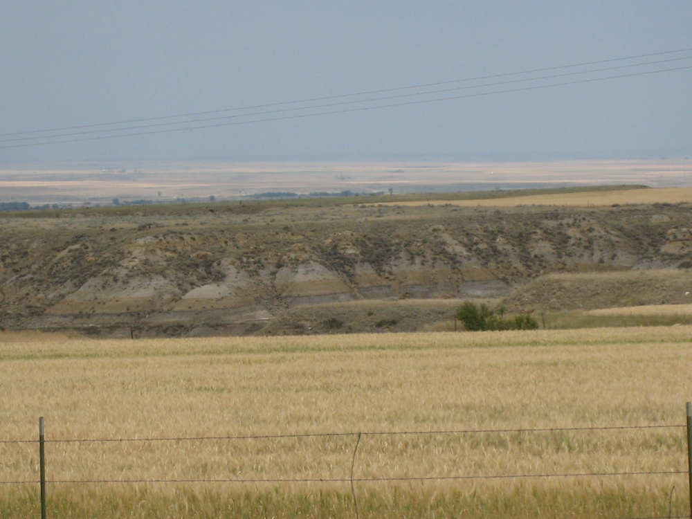
Deep canyons to our right |
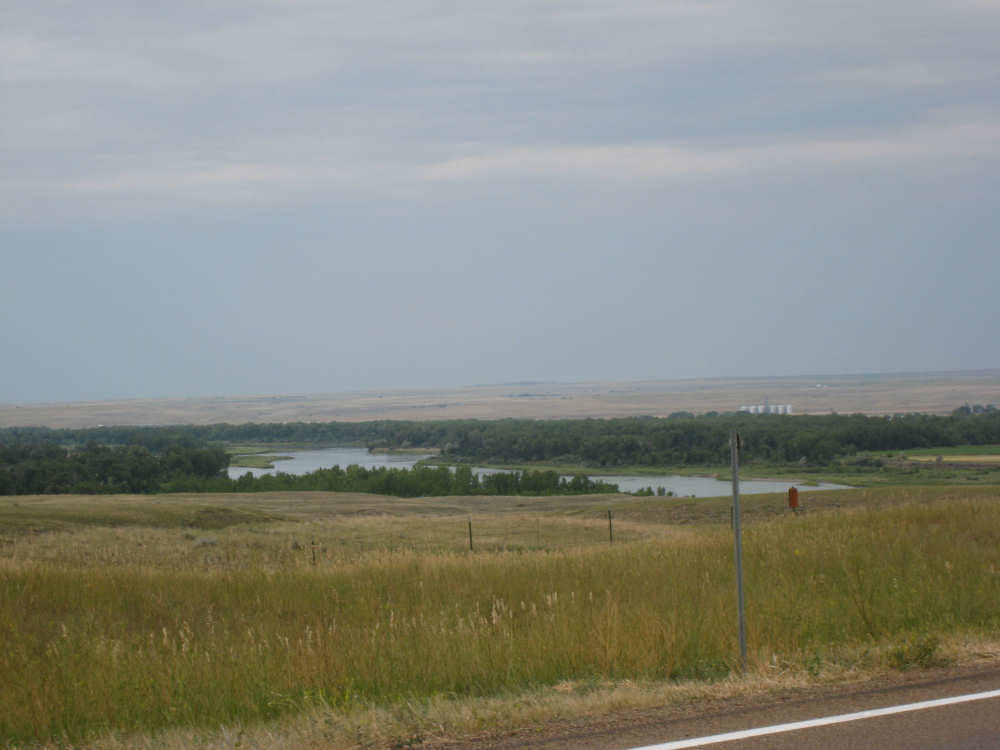
The Missouri, hidden behind a thick row of trees |
A glimpse of the river with the town buildings behind it |
Our first view of the old bridge, when it looked like we would cross it |
A better view of the river... |
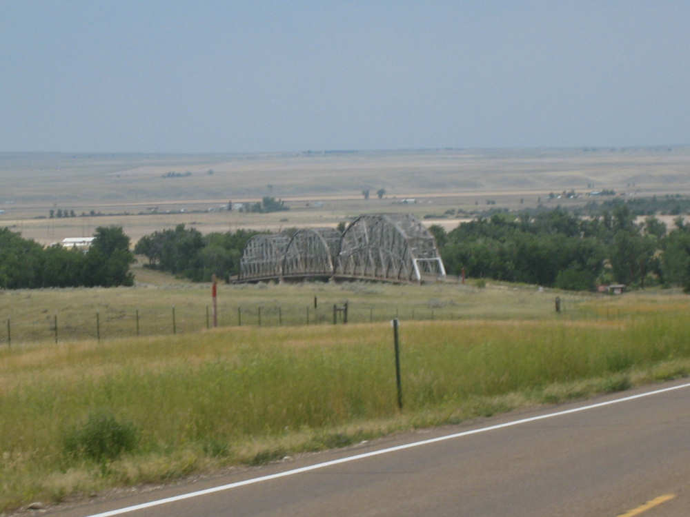
and the bridge |
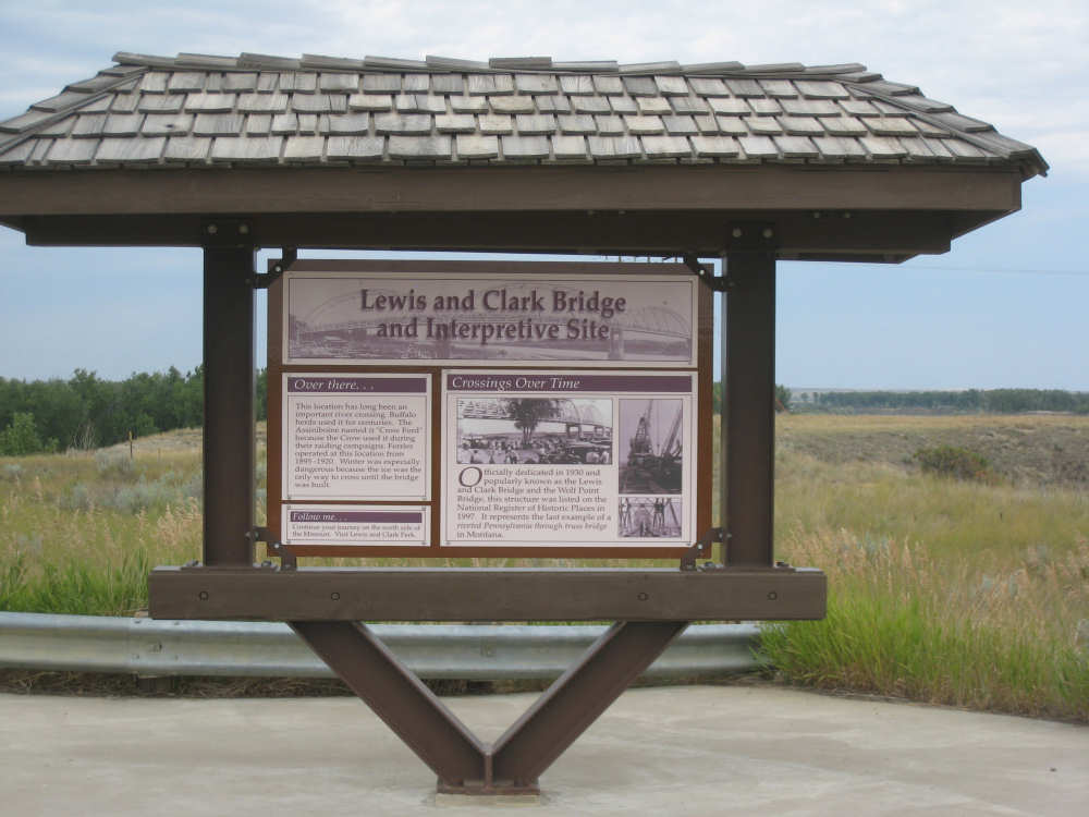
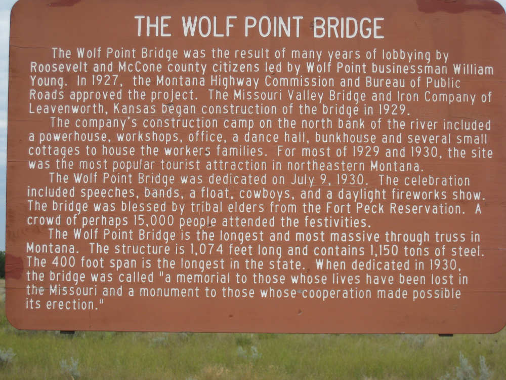
Sign at the bridge (close-ups below) |

Parts of the front of the sign |
|
Parts of the back of the sign |
|
Another historical marker at the bridge |
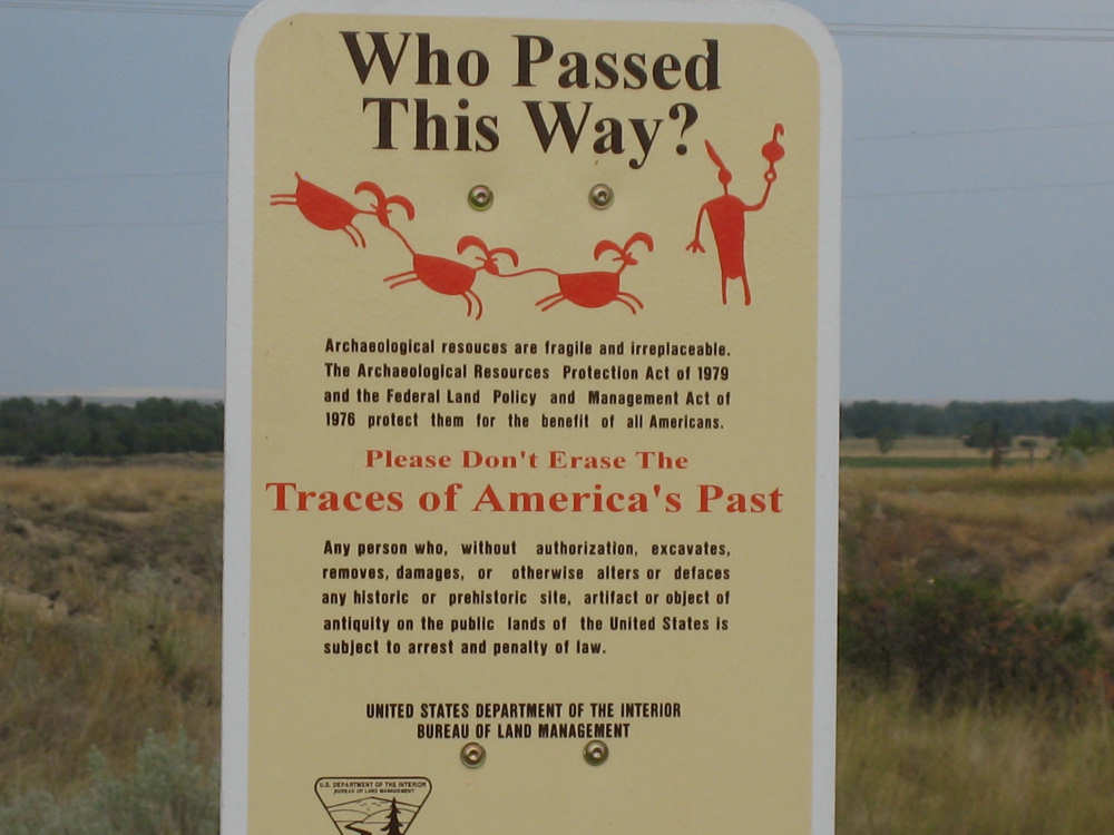
And a sign asking visitors not to mess with the area's relics |
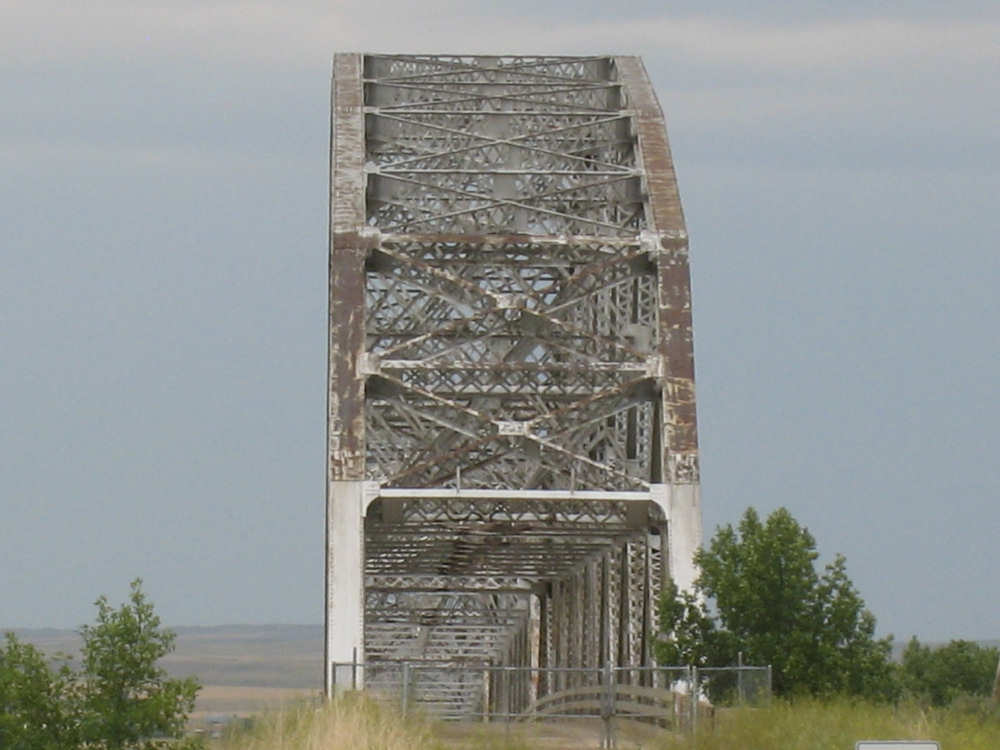
An end view of the bridge, clearly not in service |
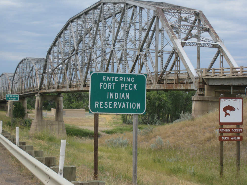
A side view of the bridge and a sign indicating we're entering the Reservation |

In case there was any doubt... |

this is the Missouri River |
The new bridge we crossed on, right next to the old bridge |
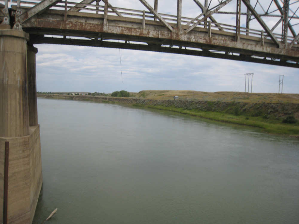
The south bank of the Missouri |
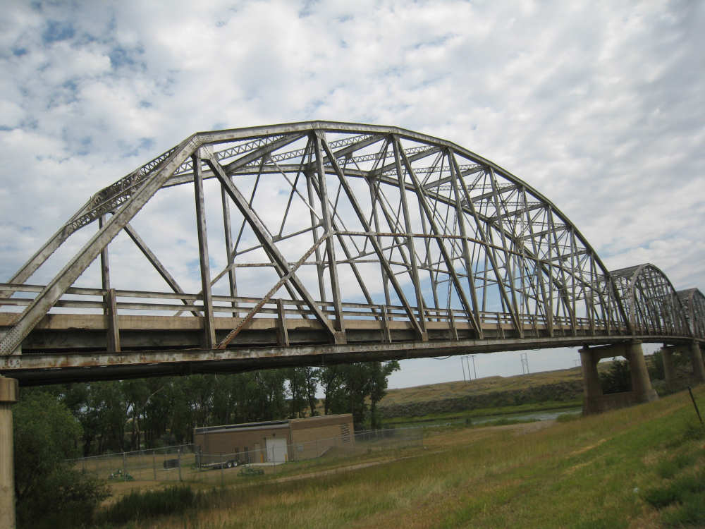
One last look at the bridge |

The Lewis & Clark State Park, right across the river |
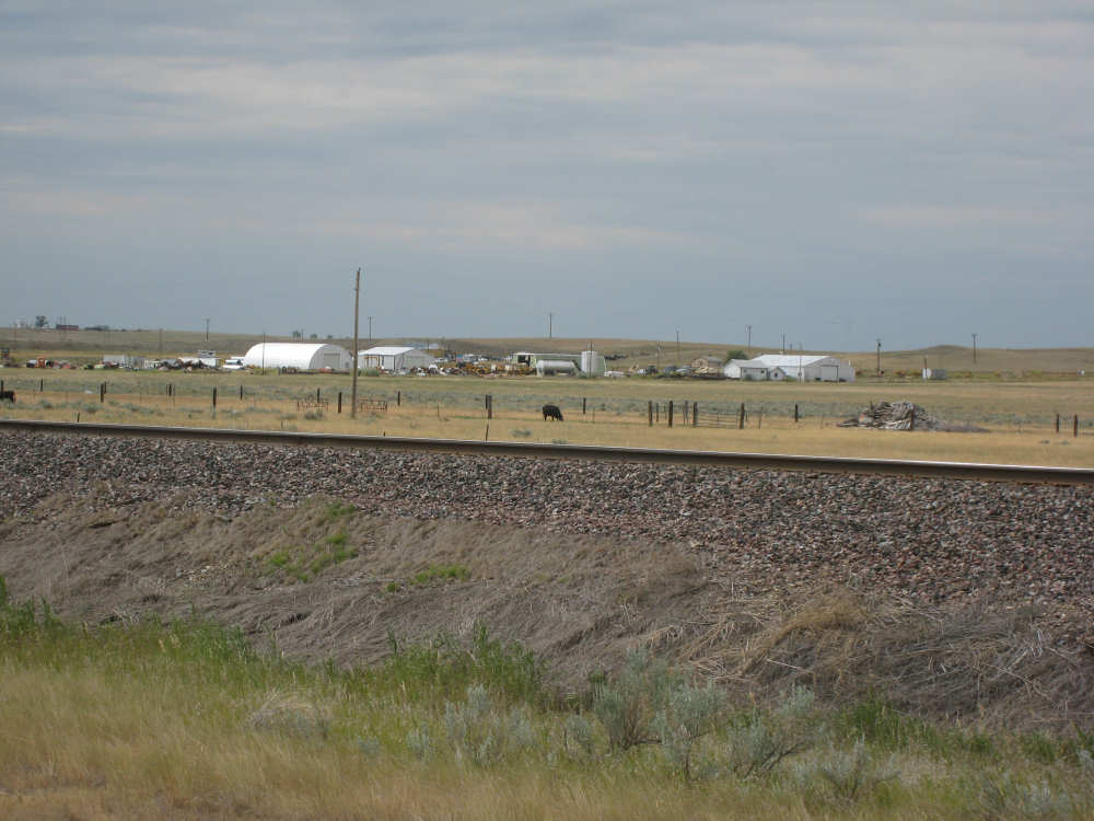
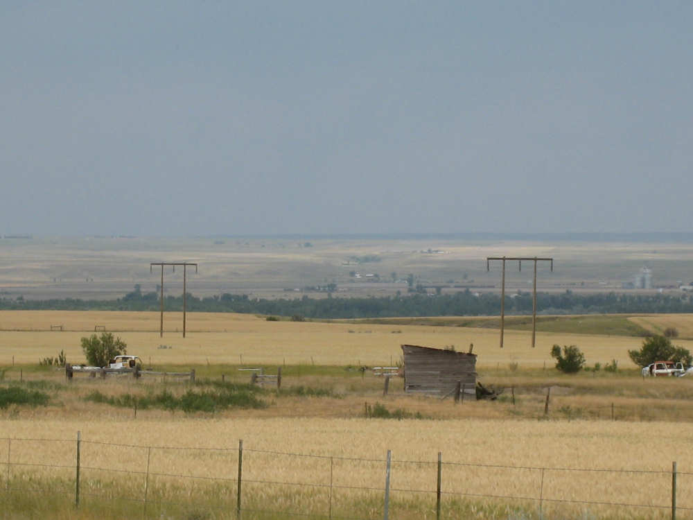
Farm buildings... |
and grain silos as we come into Wolf Point |