Wednesday, July 23, 2008
Wolf Point, MT to Culbertson, MT
57 miles (6470 total miles)
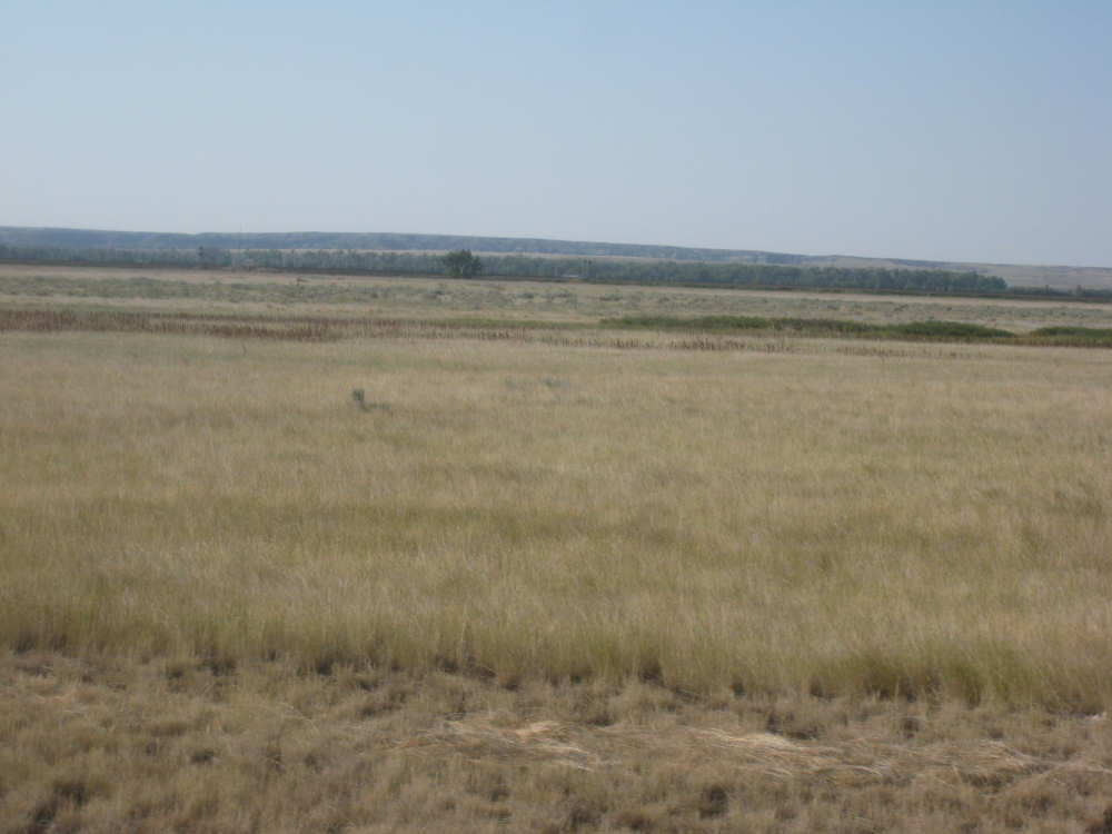
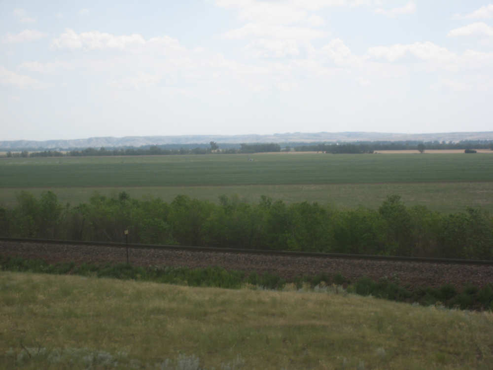
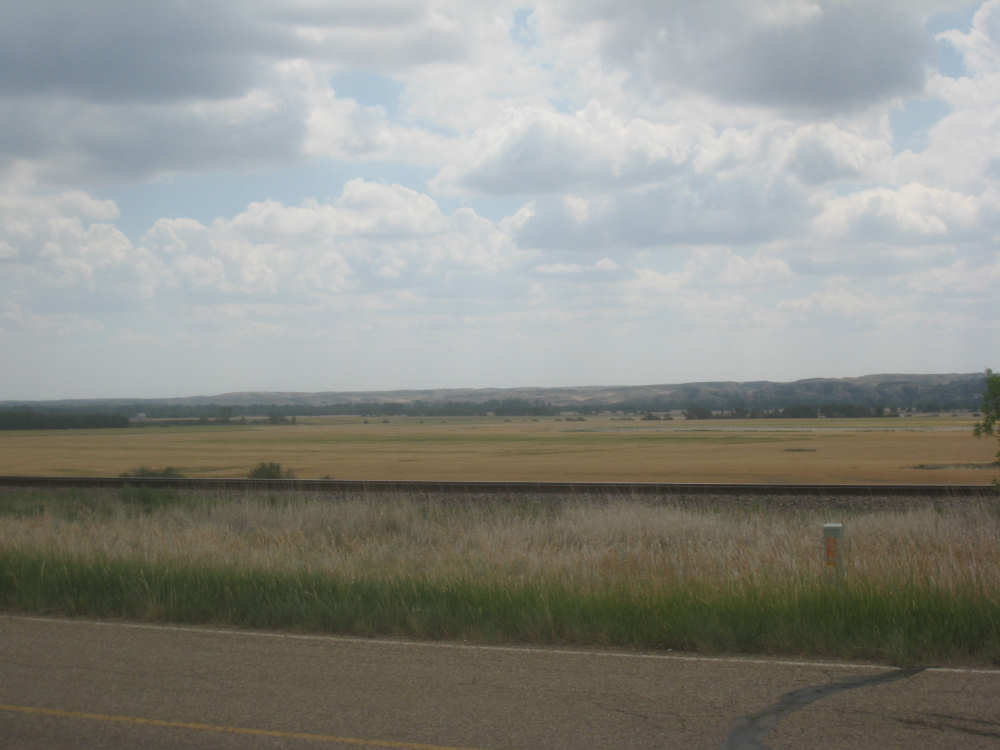
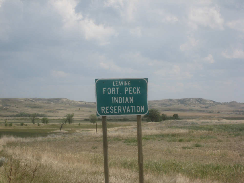
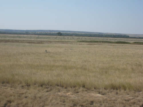
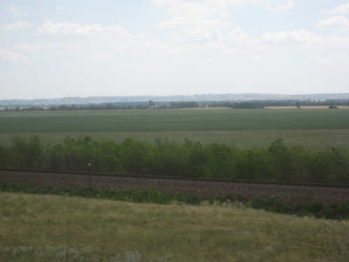
Another easy day. The sky was perfectly clear except for a couple of wispy clouds around the edges and the wind was pretty calm but in the right direction as we set off. It looked like the 30% chance of showers was not going to materialize. We rode all day through the Fort Peck Indian Reservation, having just entered it yesterday, we came to the end of it towards the end of our ride today. The scenery didn't look much different than the last 2 days. The road (Rt. 2) was very flat for the first 45 miles or so and there were farm fields on either side of the road, some a bit drier than we've seen. Montana seems to be getting drier as we head east. We didn't see much of the Missouri River which was south of us and mostly hidden behind trees. We did catch a glimpse of it towards the end of the day. We went through 2 towns, Poplar and Brockton, conveniently spaced along the way. We stopped for a snack and soda on Poplar and took some pictures of the Fort Peck Community College and a Museum/Indian Arts & Crafts store in town. When we were stopped at the crafts store, a friendly local on a bicycle stopped to chat and encouraged us to get off Rt. 2 onto Indian Hwy. 1 just after Brockton. We had heard the same advice from the owner of the motel where we'd be staying that night when she heard we were coming on a bicycle. Hwy. 1 apparently bypasses several small hills and one large one.
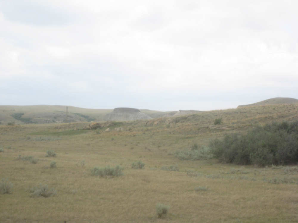
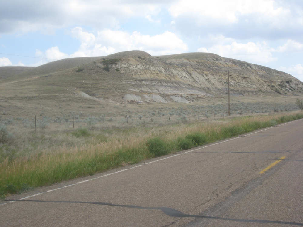
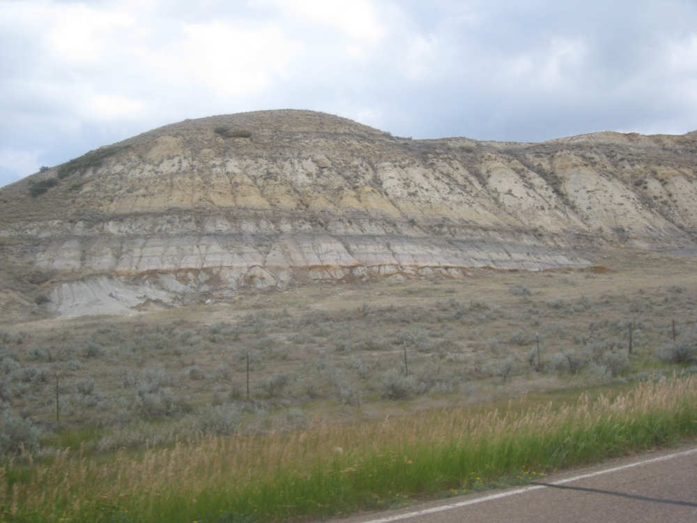
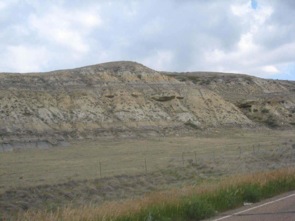
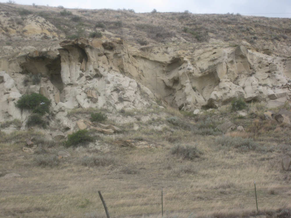
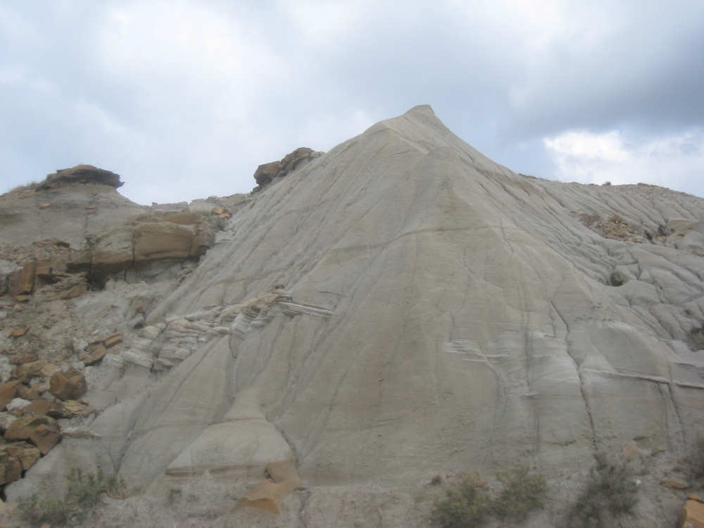
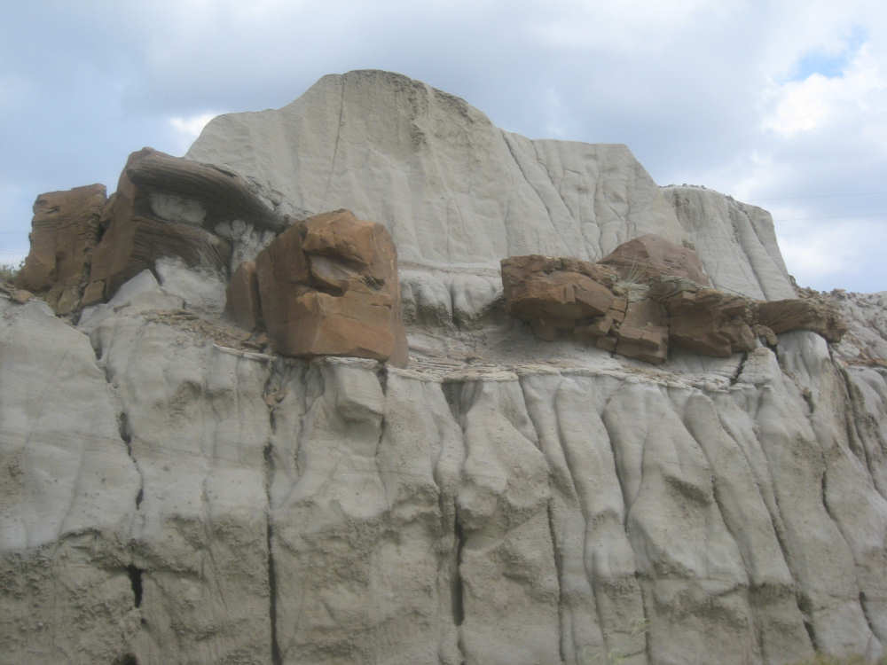
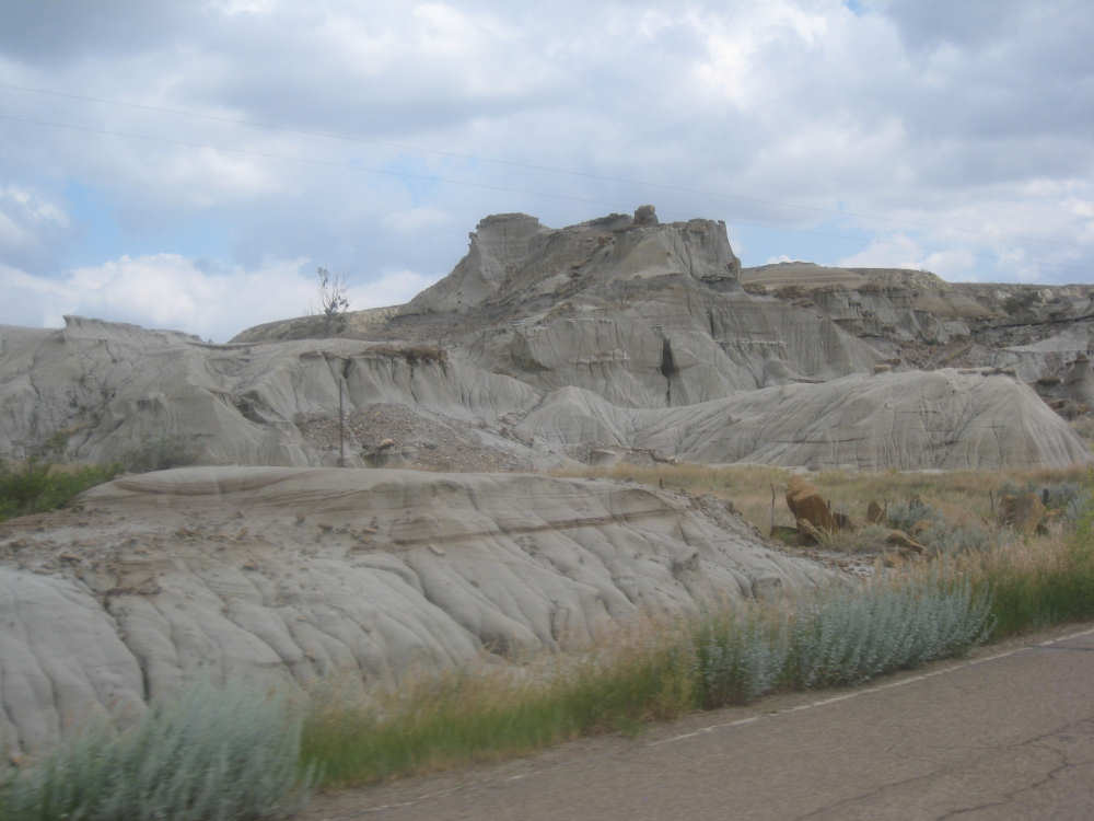
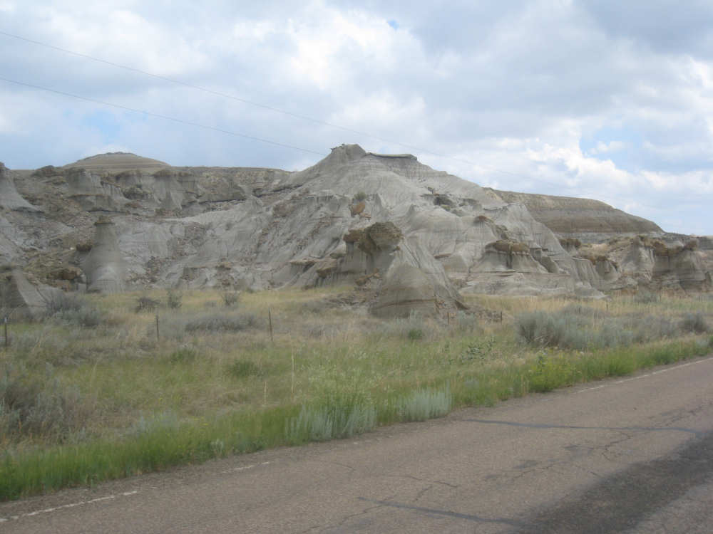
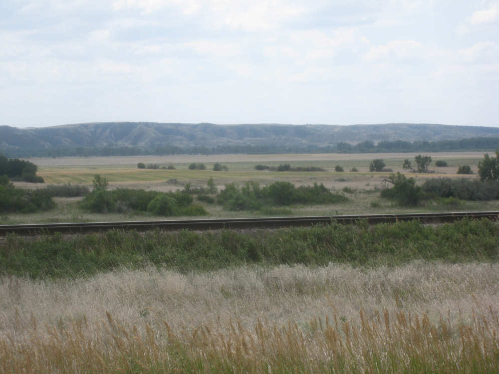
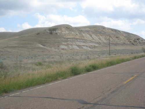
We stopped in Brockton for lunch in an ingenious place that combined a laundromat, video rental store and small restaurant. It also had a bank of video poker machines, 2 of which were being used avidly as we ate lunch. They served very good, inexpensive hamburgers. Soon after lunch we found our turn-off onto Hwy. 1. It turned out to be a decent road, a little rougher in places than Rt. 2 with no shoulder but also a lot less traffic (Rt. 2 itself didn't have a lot of traffic, but it was more than we had been used to in a while). It also had the prettiest scenery of the day - we rode by the hills that we would have been riding over on Rt. 2 and they had very interesting shapes and rock edges. We have several pictures of them below. Every time I thought, well, that's enough pictures of that, another more beautiful scene would appear and I'd have to take another shot. As we went up the short, steep hill that it didn't bypass, we were passed by another cyclist who apologized for not stopping to chat, saying he had to keep moving. We wondered how far he was going today, obviously farther than we were.
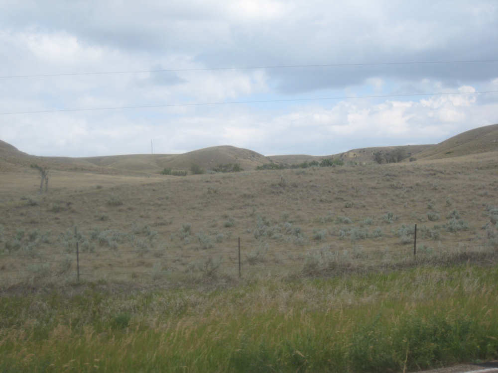
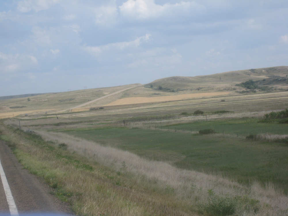
As we rode on, we noticed from time to time that big, puffy clouds were accumulating above us. The wind was also getting stronger which we noticed especially as Hwy. 1 ended and we turned north to rejoin Rt. 2 (it was a strong side wind then). As we turned toward Rt. 2, we could see the long hill we'd be climbing next and were very glad we'd have the wind behind us when we went up it. Just before we went up the hill, we crossed the Big Muddy Creek, a very winding river that was the Reservation's boundary. The wind made a noticeable difference on the climb up the hill, and we only had 3 or 4 miles to go so we hoped we'd beat the storm, but we started to feel some raindrops when we were nearly at the top. We quickly got off to cover up the suitcase on the back of the bike - it was hard to get the plastic bag on with the wind blowing so hard! Then we continued up the hill. It didn't rain very hard, but we could see some heavier rain on the road just ahead of us on the way down the hill and, sure enough, rode right through it, but then it slackened off a bit. It was still sprinkling lightly when we got to the motel, but the motel owner hustled us and our bike in out of the rain. It stopped soon afterward. We left Wolf Point this morning at 8 and arrived at Culbertson at 2, having gone 57 miles in only 4-1/4 bike hours, a phenomenal (for us) 13.5 mph average. We're looking forward to more of these great tailwinds!

Pastures and hills to the north as we leave Wolf Point
|
And the Missouri River way off to the south (behind the row of trees)
|
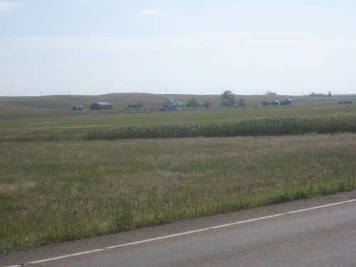
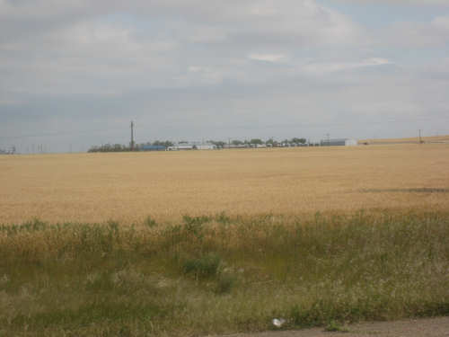
A cluster of farm houses as we approach Poplar
|

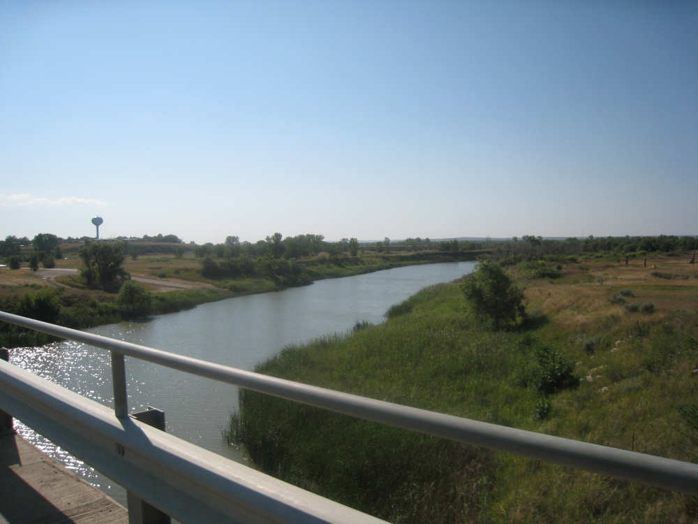
The Poplar River, at the edge of town
|

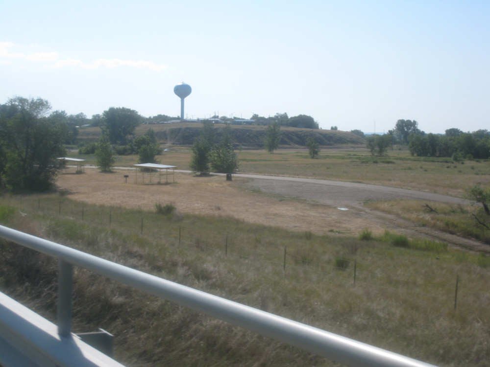
The Poplar water tower and a little park next to the river
|
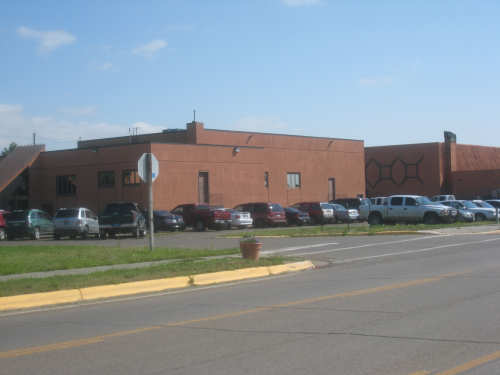
The Fort Peck Community College in the town of Poplar
|

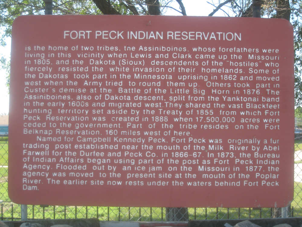
Historic marker about the fort in front of the craft store/museum
|
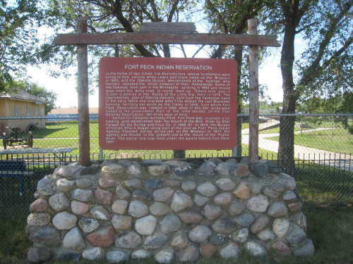
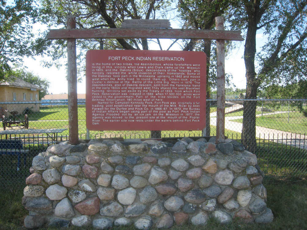
The marker was on a pretty impressive base, so I took a picture of that too
|
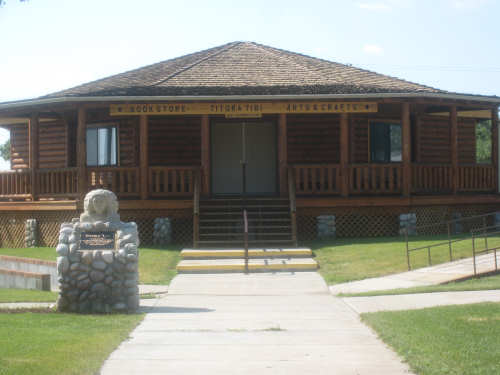
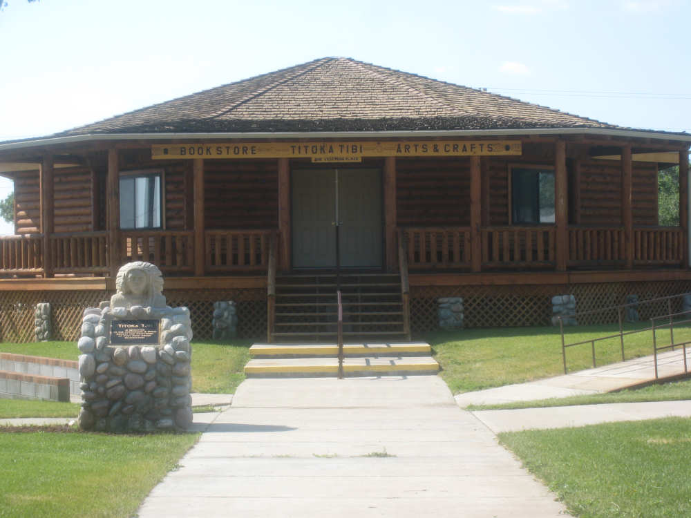
The Indian arts & crafts store, book store and museum
|
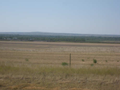
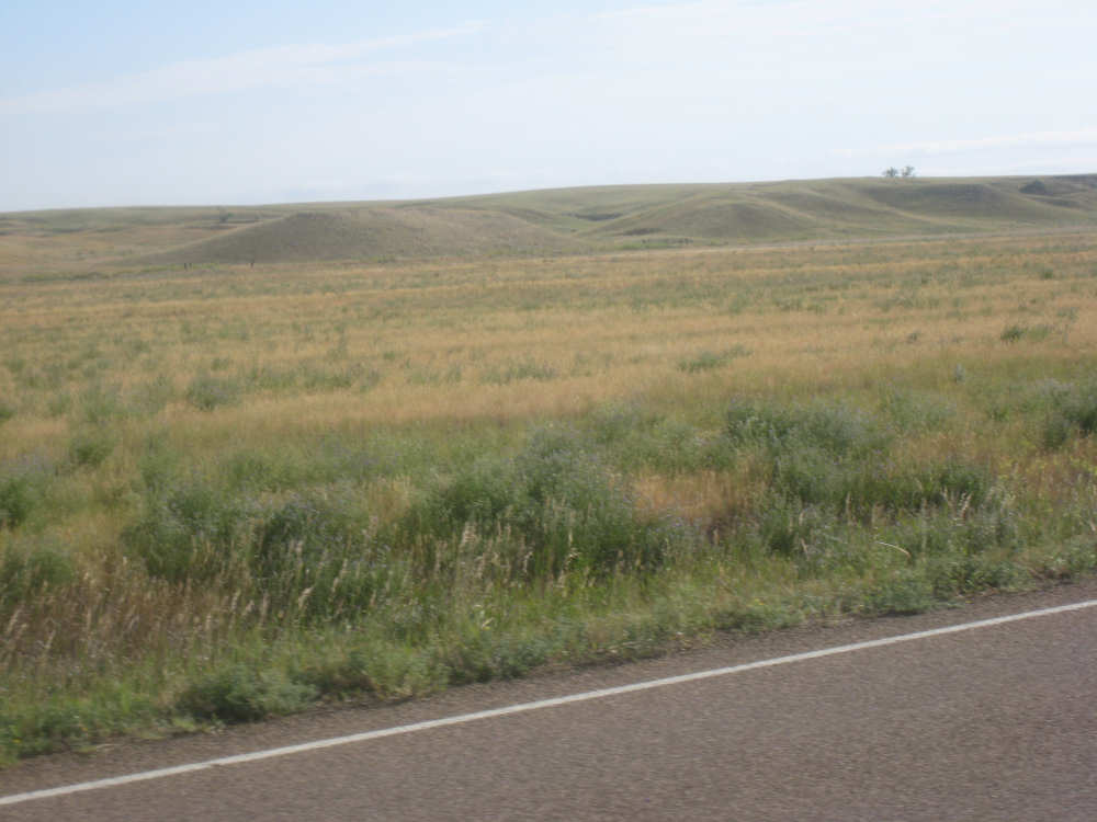
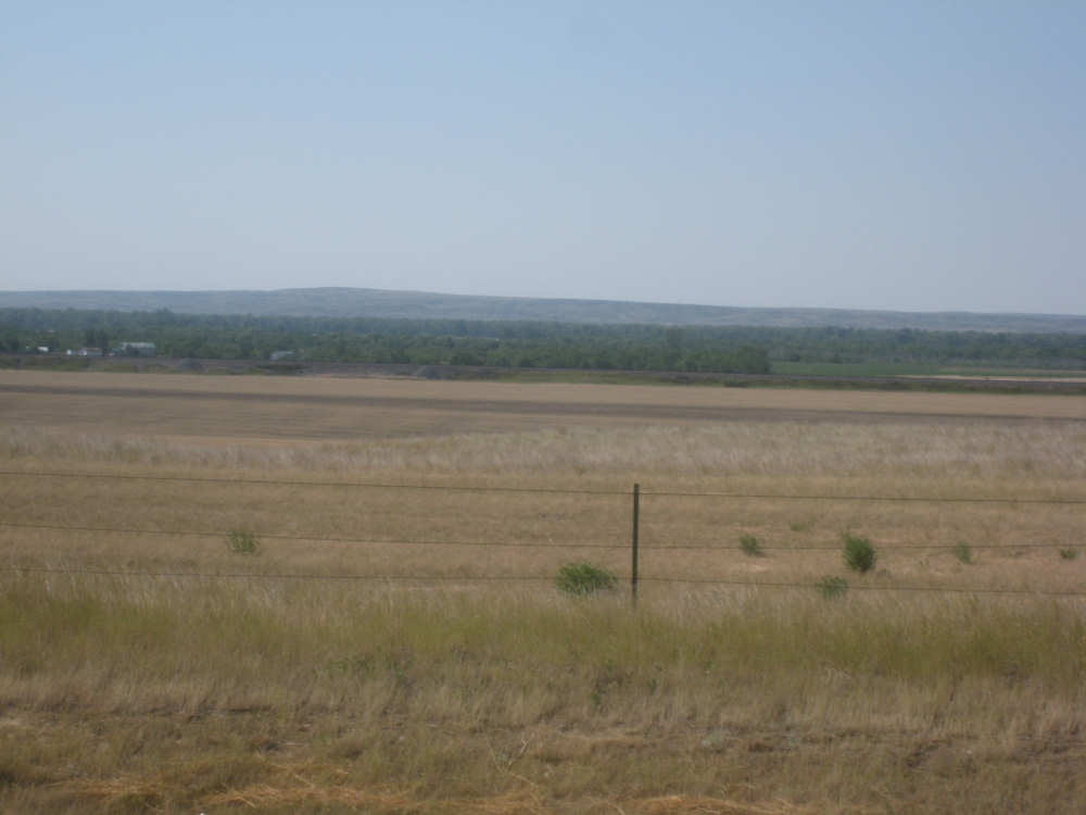
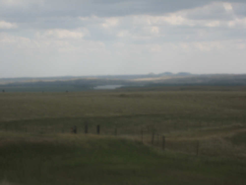
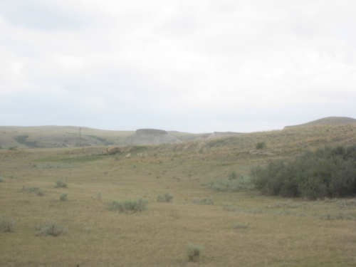
A view of the hills that are coming up and the Missouri, a little closer
|
More farm fields to the north and some storm clouds brewing
|
Some greener fields as we approach Brockton
|
At the start of Hwy. 1, the hills are just beginning
|
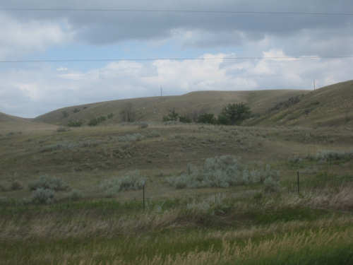
They're getting more interesting, and the clouds are getting darker
|
These are all shots of the hills along Hwy. 1 - they just got better and better
|

The Missouri is getting closer, but so are the hills
|
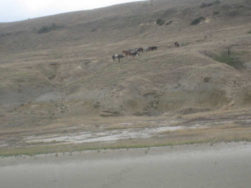
A small herd of horses clustered on a hill
|
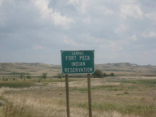
We come to the edge of the Reservation
|
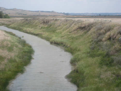
The Big Muddy Creek
|

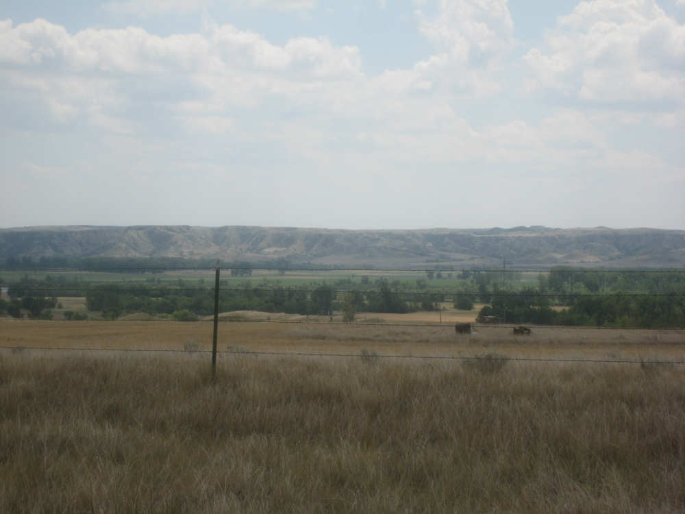
A view of the big hill back on Rt. 2
|
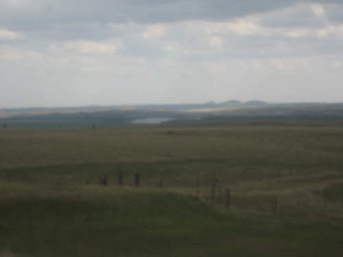
A peek at the Missouri as we head up the hill
|