Sunday, July 27, 2008
Watford City, ND to Killdeer, ND
57 miles (6618 total miles)
Our day started cool and cloudy, cloudy enough that we decided to start out with everything wrapped up in the plastic bags. Like carrying an umbrella, it worked to keep it from raining all day. Still, it looked like we were heading right into rain for the first few hours. We left the motel at 7:45 again, enjoying the cool temperature and breeze (even though it was working against us). The wind wasn't very strong most of the time. We had rolling hills all day again, too, none very steep or long, but lots of them.
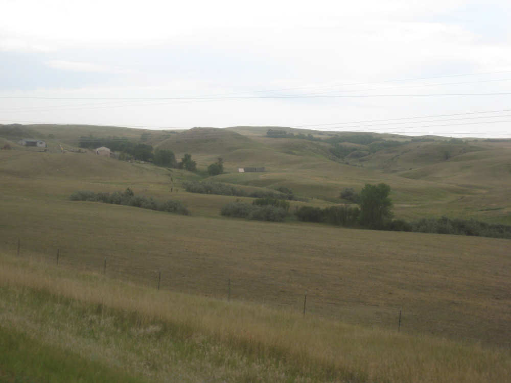
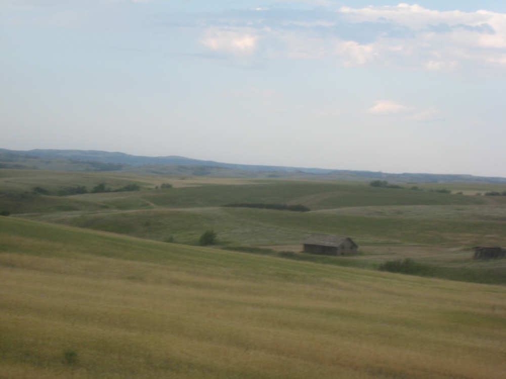
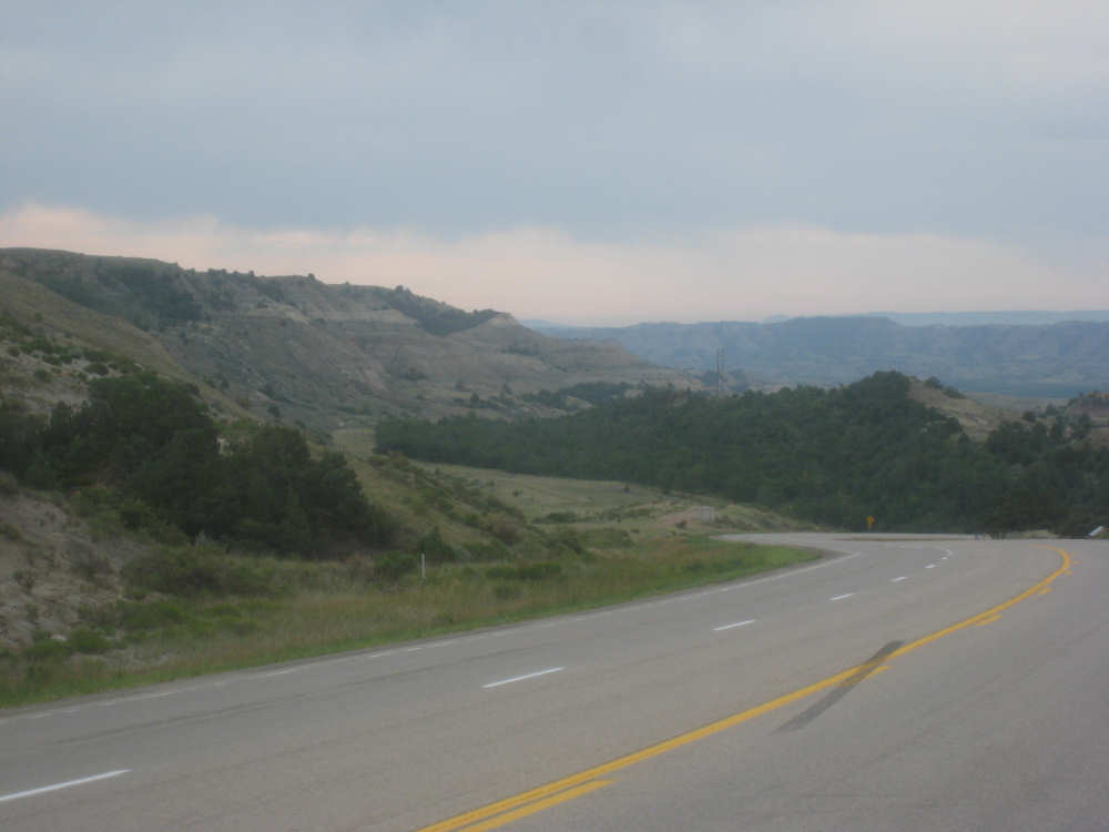
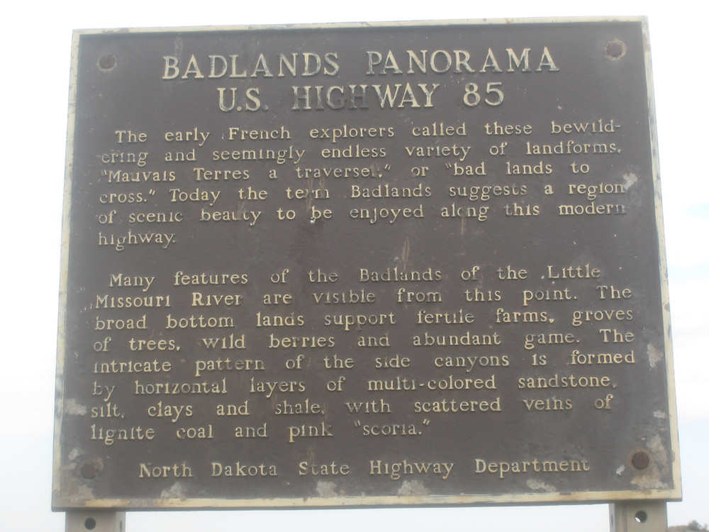
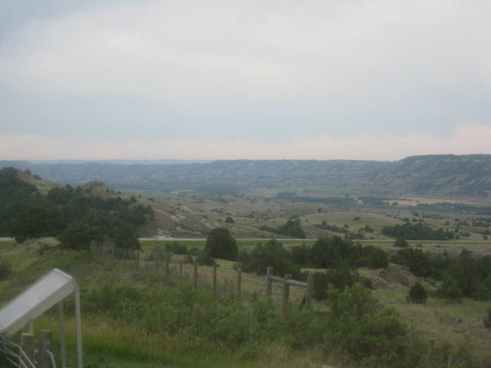
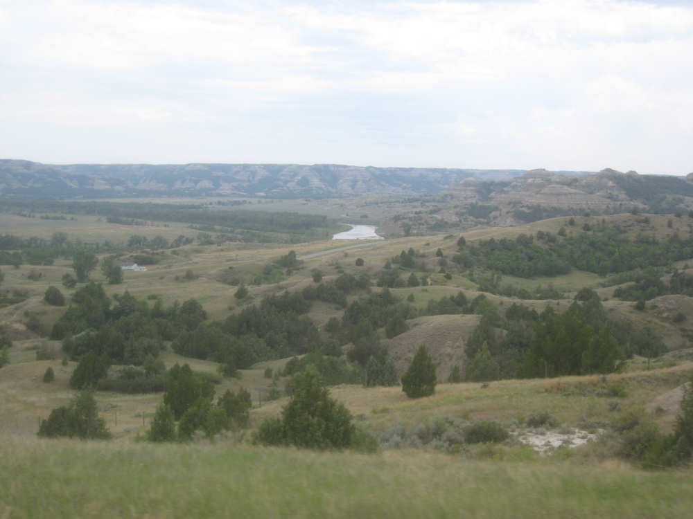
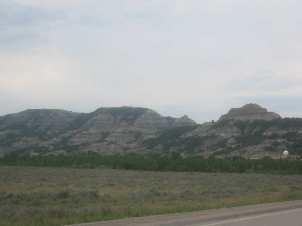
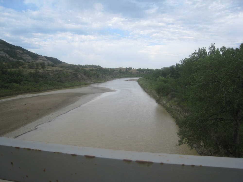
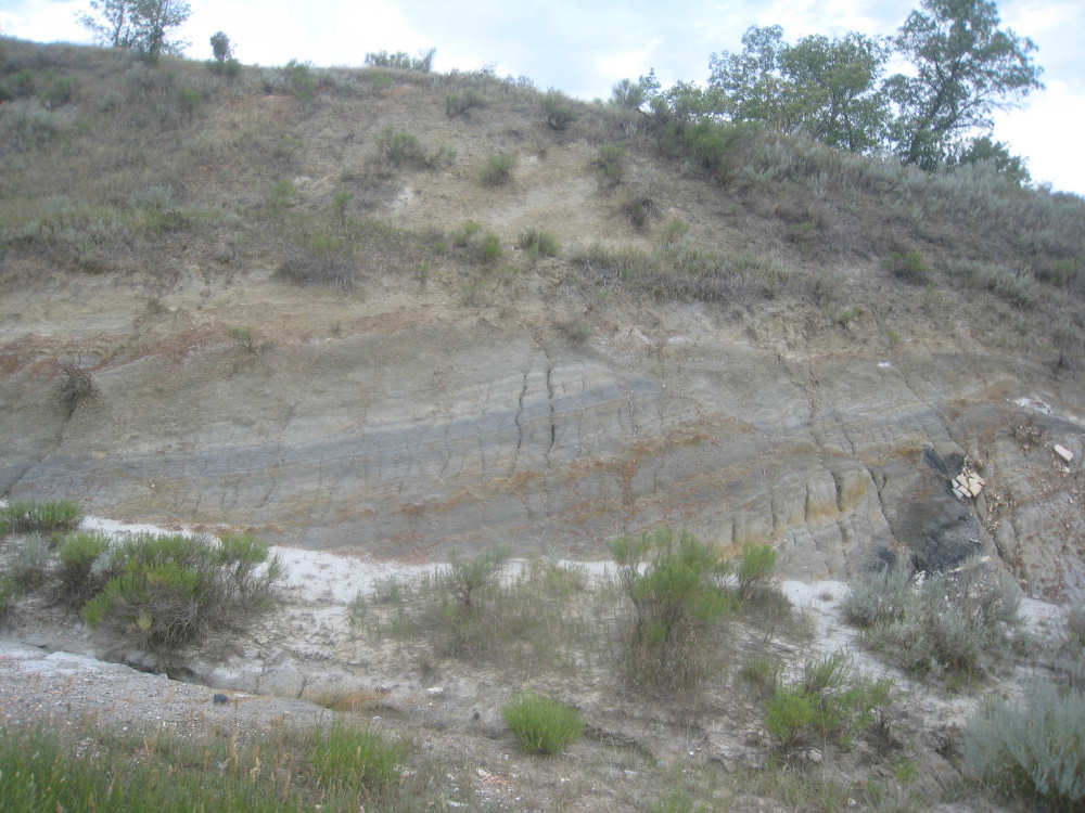
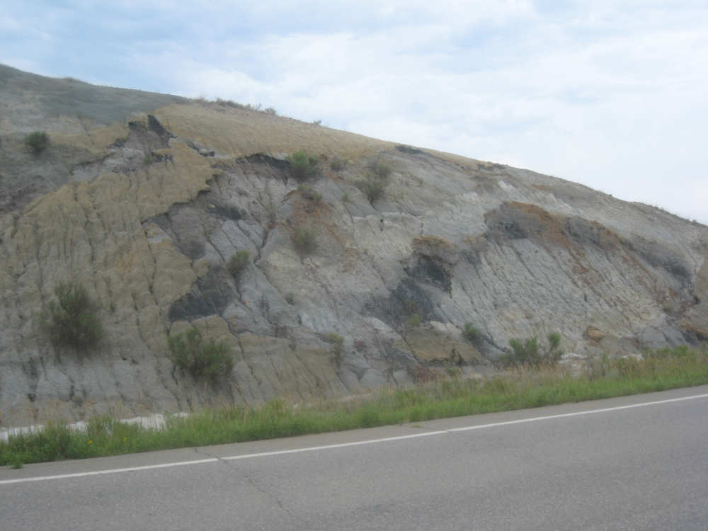
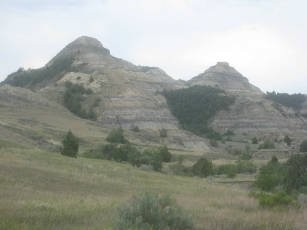
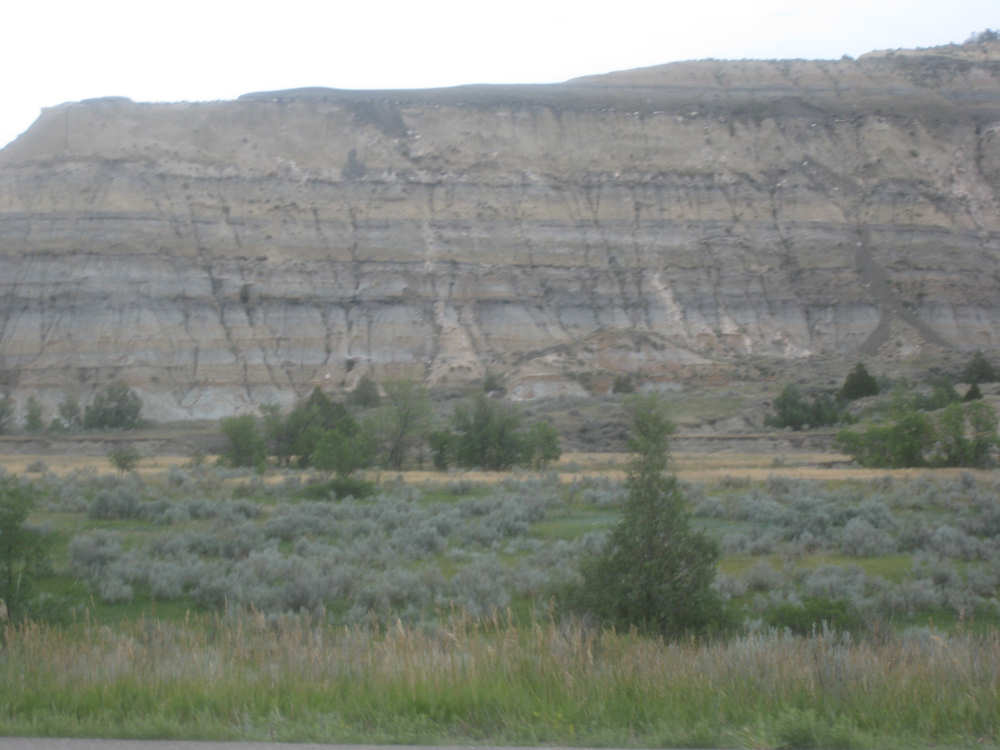
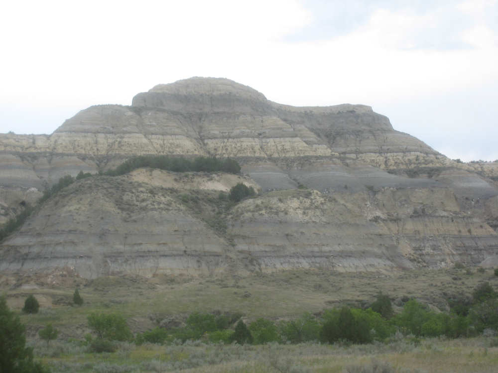
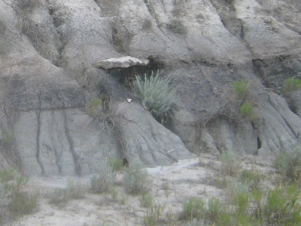
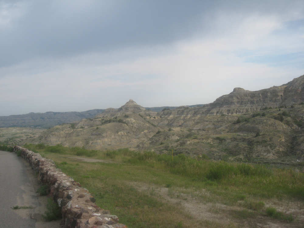
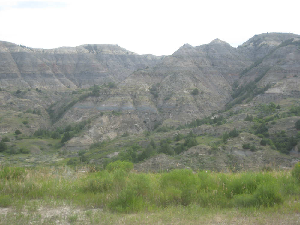
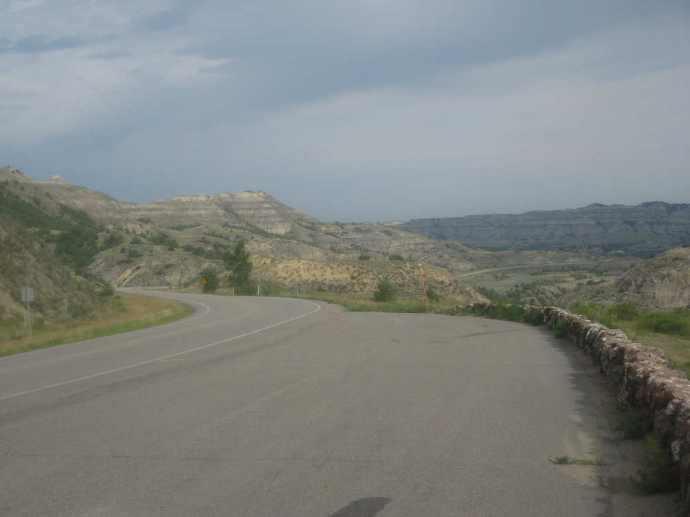
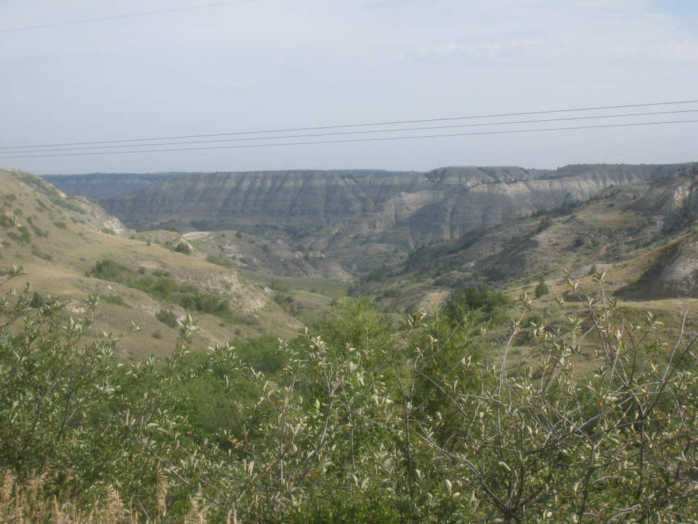
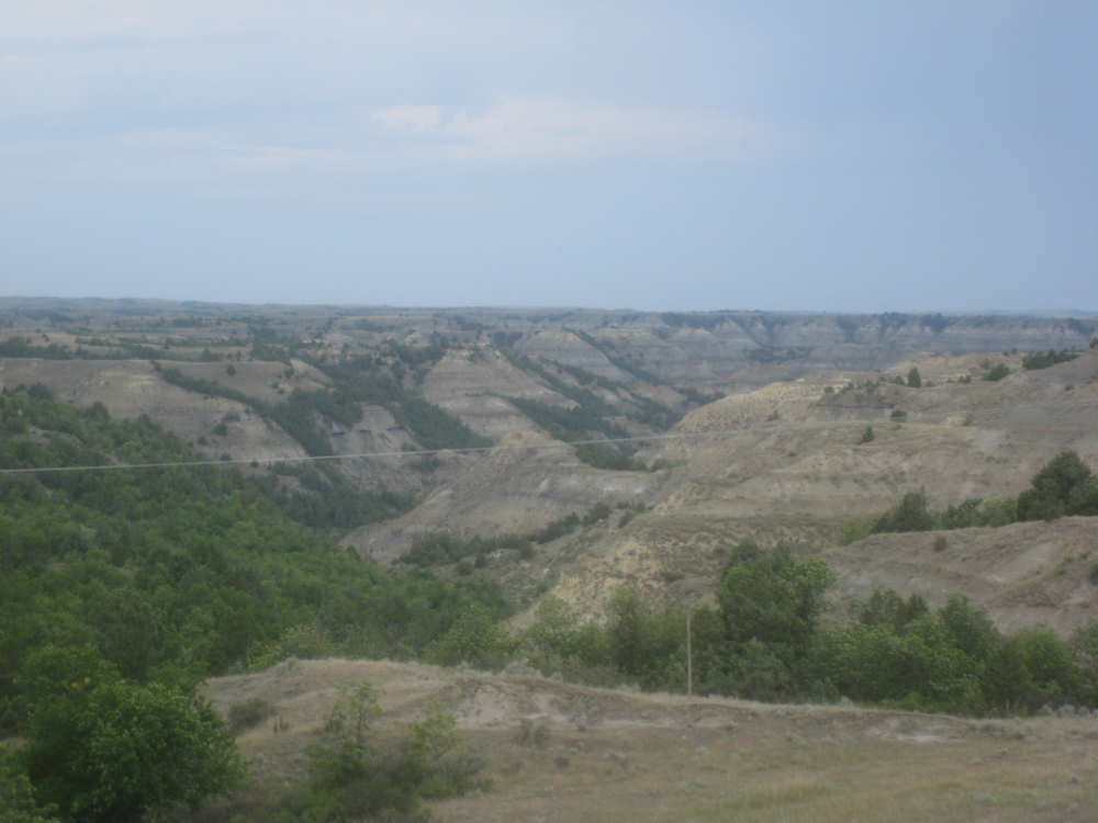
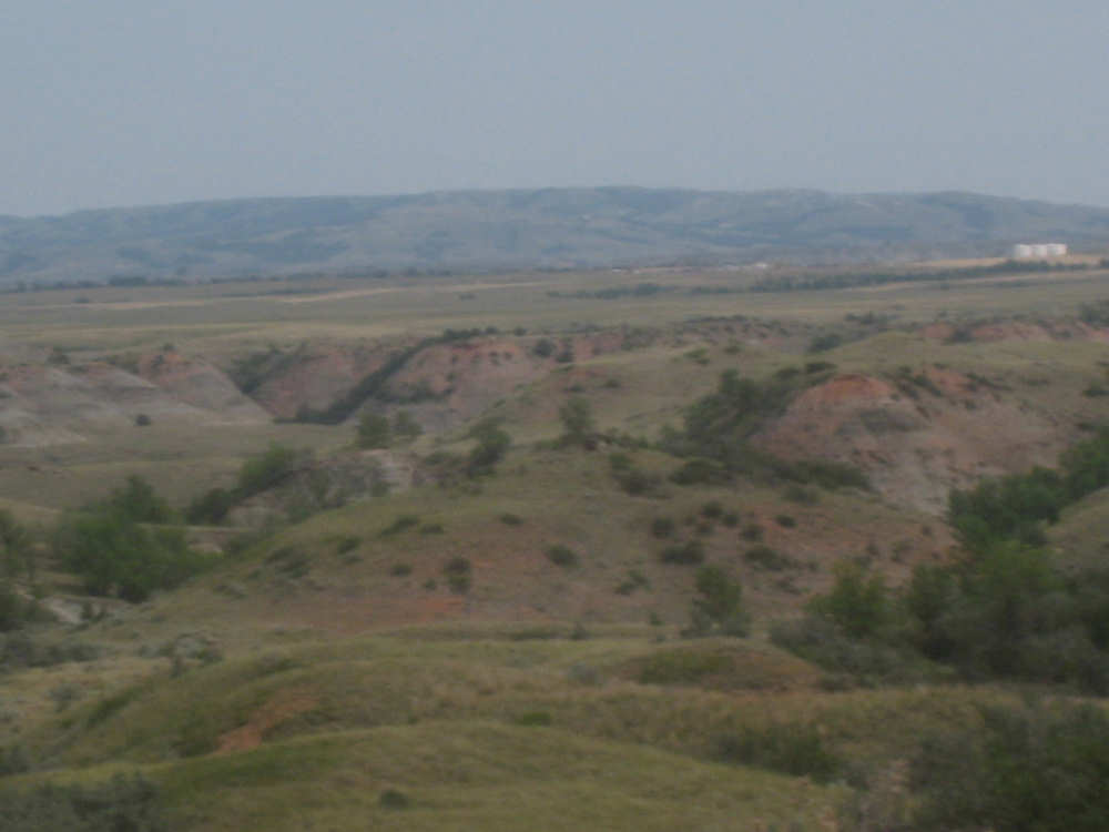
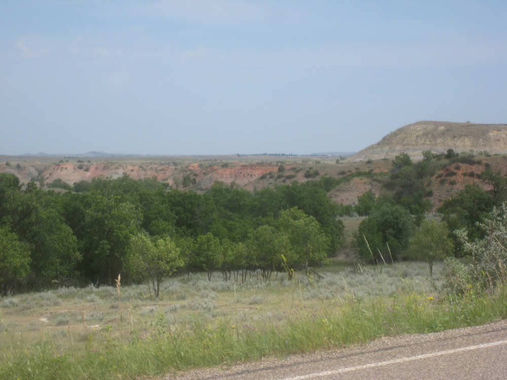
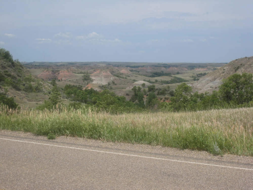
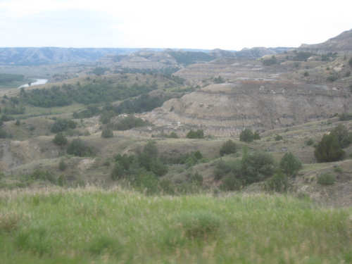
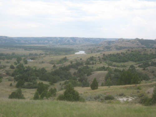
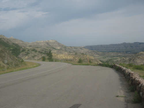
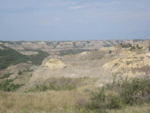
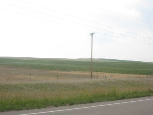
We set out on 85, which we were on all day yesterday, passing farmlands and pastures, wondering when we would start seeing the badlands. Not much sign of anything similar, occasionally some ravines or a small butte or two, all very beautiful, but not badlands. We kept seeing signs for the Theodore Roosevelt National Park, which was only 15 miles from Watford City, and then finally, we went over a hill and started down again and there they were! A big canyon had opened up in front of us with a wide valley below and lots of beautiful hills with interesting, different-colored strata to them. We got to a scenic overlook and pulled off to take pictures. Down below in the valley, we could see the Little Missouri River and a bridge going across it. There was a nice, long downhill into the valley, but we groaned to see the corresponding uphill road on the other side (it actually wasn't so bad). On the way down, we passed signs for several things - the entrance to the Theodore Roosevelt park, a campground, and the trailhead for a hiking trail that goes through the badlands. We crossed the river, taking pictures wildly as we went, and headed up the other side. The uphill went past many more interesting hills so we got some nice close-ups of the hills and the varied strata. One sign said that there were layers with petrified logs and stumps of redwood, cypress, and cedar trees, besides the sandstone, clay, shale and coal layers, as well as the scoria, the layers that were baked into reddish colors when the underlying coal burned.
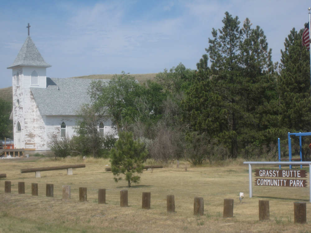
As we reached the top of the road through the badlands, the hills got smaller and more tree-covered, and then at the top, we were back on the grasslands, just as suddenly as we had left them on the other side. We continued riding through the farms and pastures until we reached the only pass-through town we'd see today, Grassy Butte. Being Sunday, we didn't expect to find anything open, and sure enough that was the case. We were just about to go into the old sod post office that had been preserved as a museum, when we heard someone calling from the convenience store. The owner of the store had just pulled up and saw our bike and was asking whether we needed anything. We hurried back and asked for ice to refill our camelbaks, and she gave us a partly-used bag for free. It still was at least 2/3 full and we stuffed the ice in, and it lasted us the rest of the day. Pretty nice people in this state!
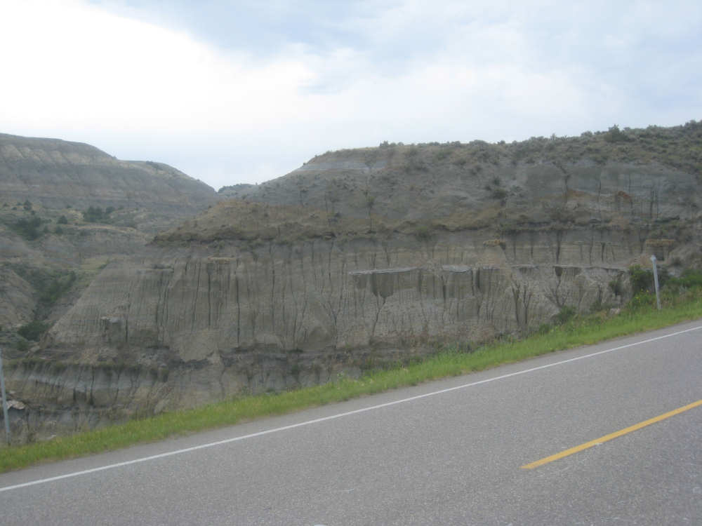
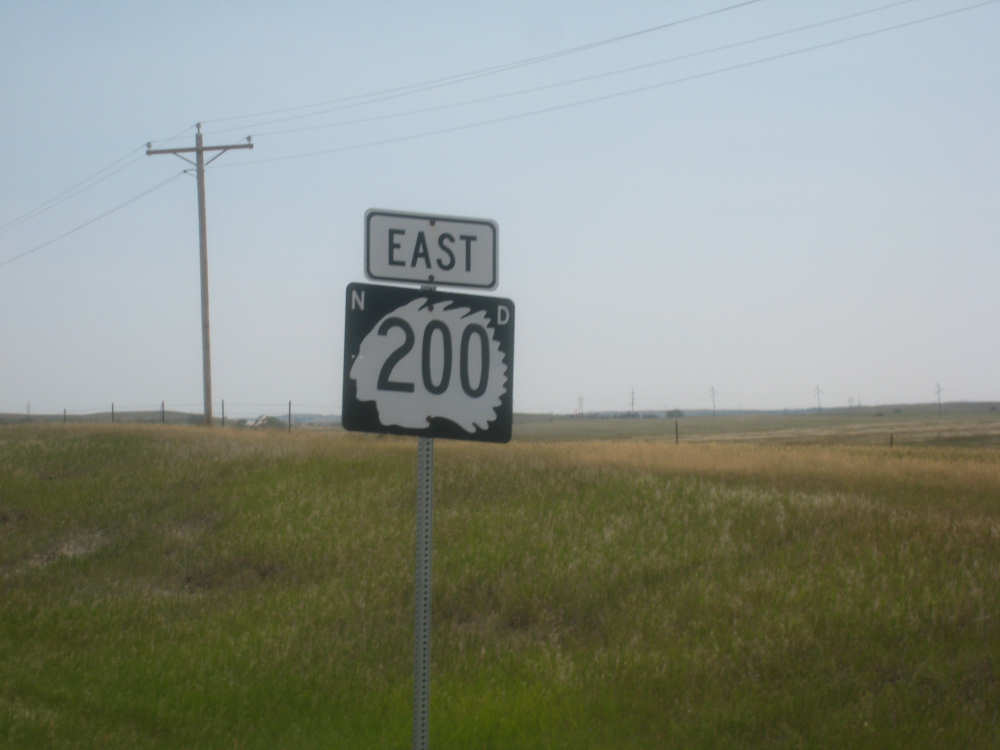
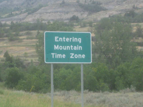
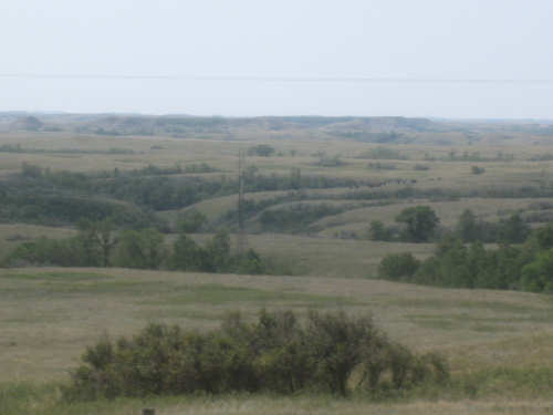
Soon after Grassy Butte, we turned off onto State Road 200, a little rougher, and a bunch hillier. Also, we had just turned east (we had been heading south), so the wind that had been mostly a side wind would now be a head wind. But it actually had become variable at that point and didn't give us too much trouble. Also, the clouds had cleared up a lot by then and the wind helped keep us cool. It had gotten quite warm, high 80's I expect, so the combination of the clouds and wind were much appreciated. There was another striking difference about SR 200. It had very little traffic, and at one point when we stopped for a rest, we had only two cars pass us in the 10 minutes or so that we were there. BOTH of them stopped and asked if we were ok/needed anything! And the drivers both had big grins, like they were delighted to see us. Pretty nice people here, huh? Along the road, we also passed some mini-badlands, with pretty pink striations. But mostly it was grassland with some ravines and buttes now and then. Despite having one hill after another, we made pretty good time and ended up in Killdeer around 4 (which was actually 3 because they changed time zones on us again). We stopped in a gas station to get a cold soda and ended up at our motel about 4:30. We showered, changed, and set up the website for today and then went out to dinner at a place Terry had told us about - Buckskin's. Great food. We did just shy of 57 miles today, in under 6-1/2 hours.
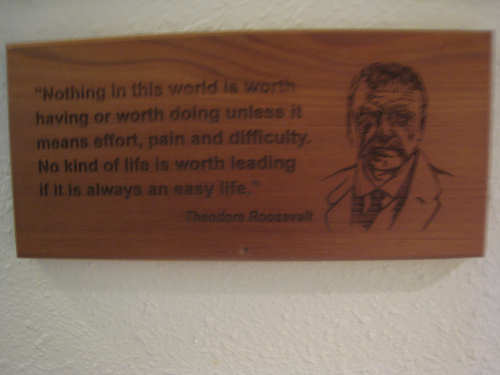
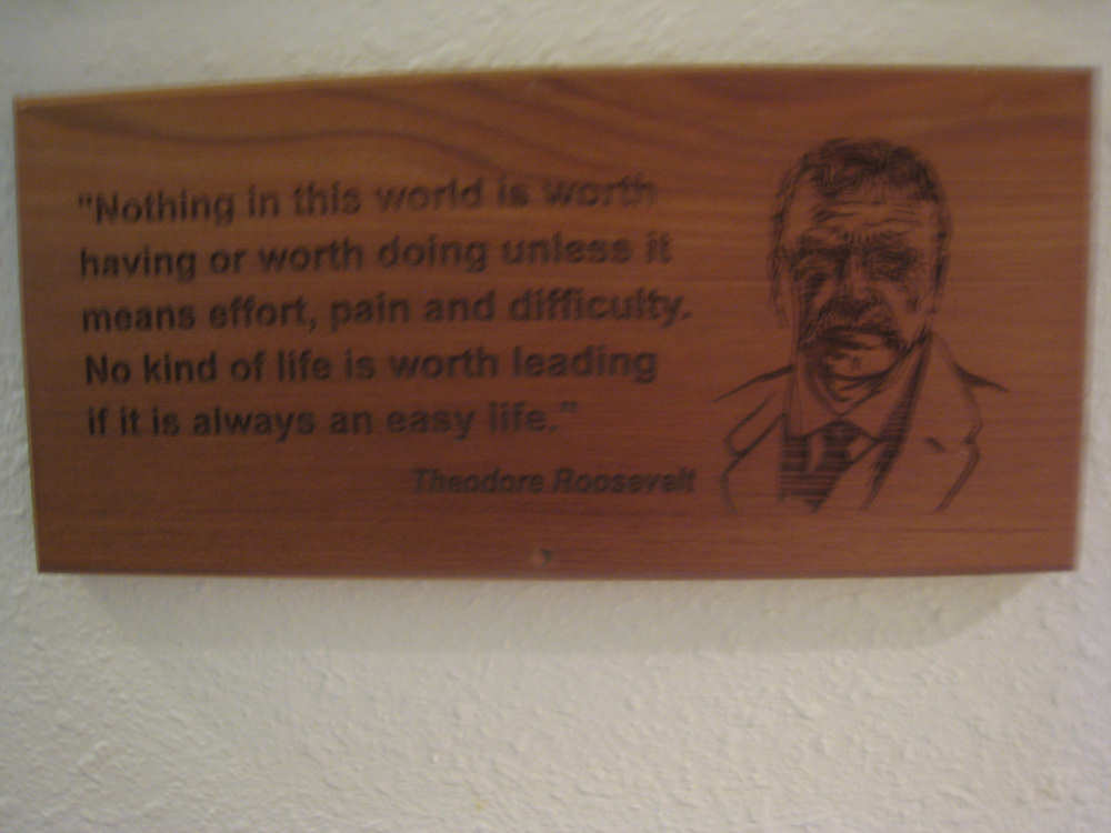
One of the TR quotes in our motel
|
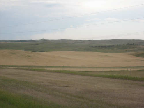
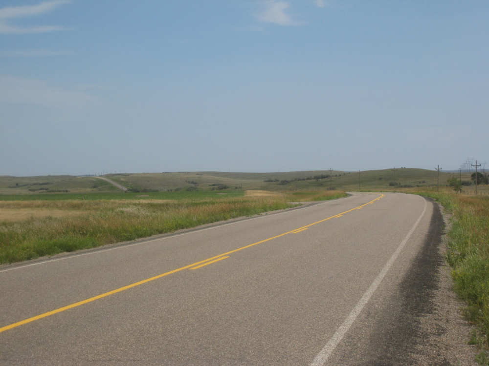
Farmlands and grasslands outside of Watford City
|
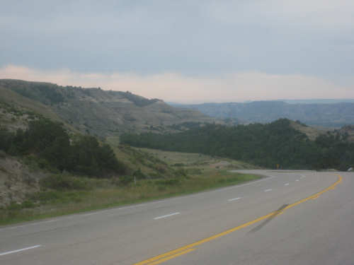
Our first glimpse of the badlands
|
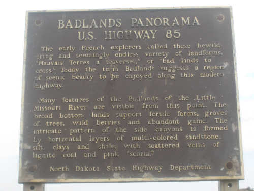
A marker describing the scene below
|
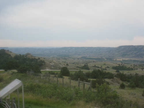
Views from the top of the hill looking down into the badlands
|
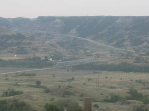
Note the ribbon of road snaking up the other side
|
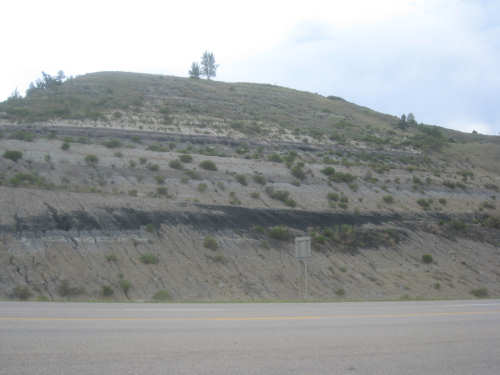
Detail of one of the hills' strata, including a black layer of coal
|
Interesting shapes and a glimpse of the Little Missouri at the left
|
Another glimpse of the river as we near the bottom of the valley
|

Interesting hills at the other edge of the valley
|
We were afraid this was going to happen
|

The Little Missouri River
|

Going up the other side - more details of the hills
|
Almost at the top, looking back from another overlook
|
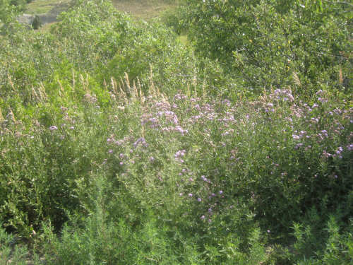
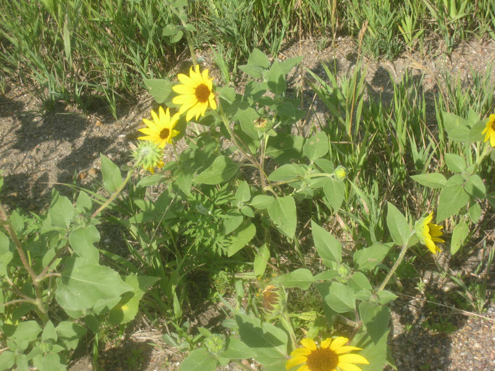
Some pretty flowers by the road
|
The hills get smaller now, but just as interesting
|
Back to the grasslands
|
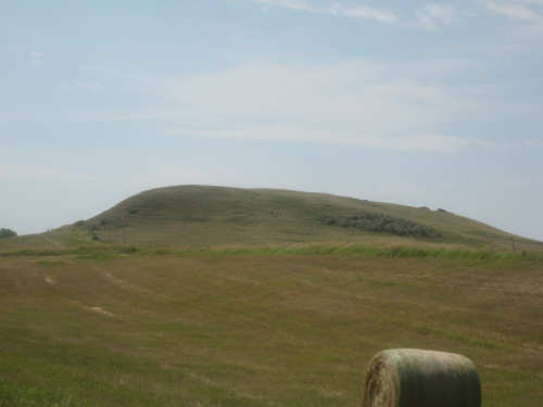
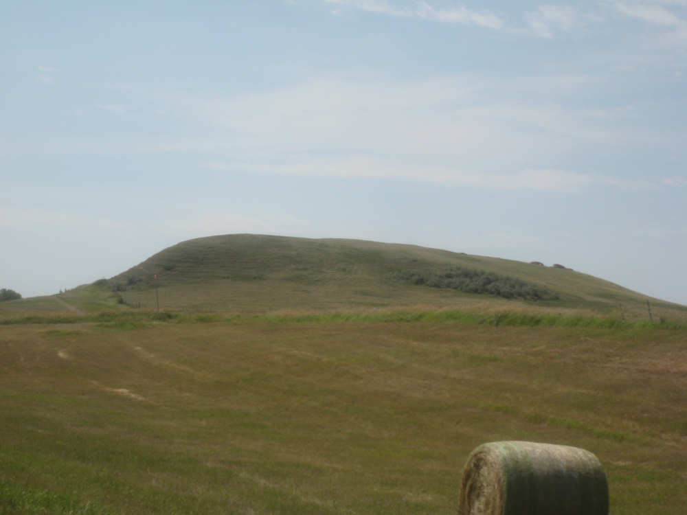
The Grassy Butte
|
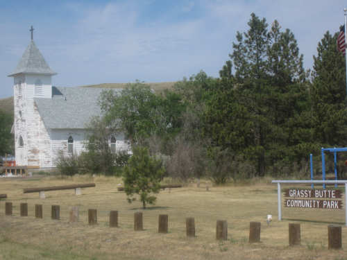
And the town of Grassy Butte
|
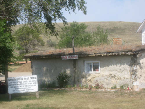
The old post office, an adobe-covered log building with a sod roof
|
A few ravines and hills in the background
|

We turn on SR 200 - the state roads have an Indian Chief's head as a backdrop
|
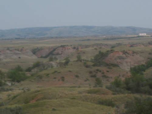
Our mini-badlands area, with pink-colored rock strata
|
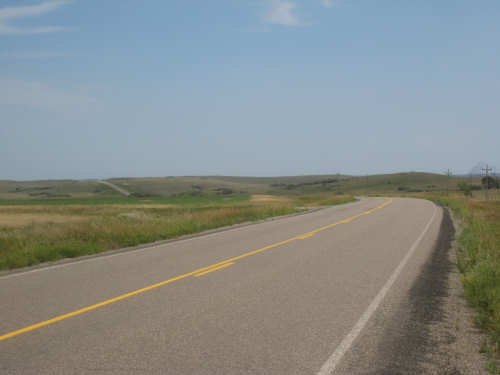
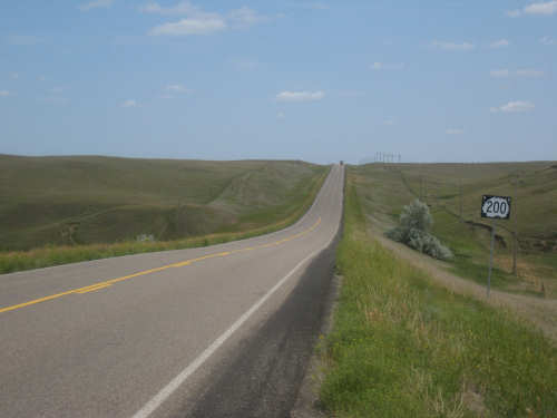
Our road was mostly straight, but always hilly
|
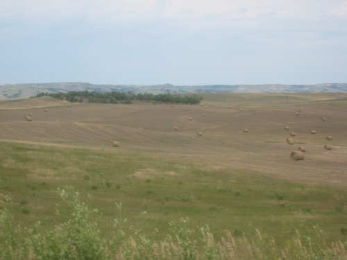
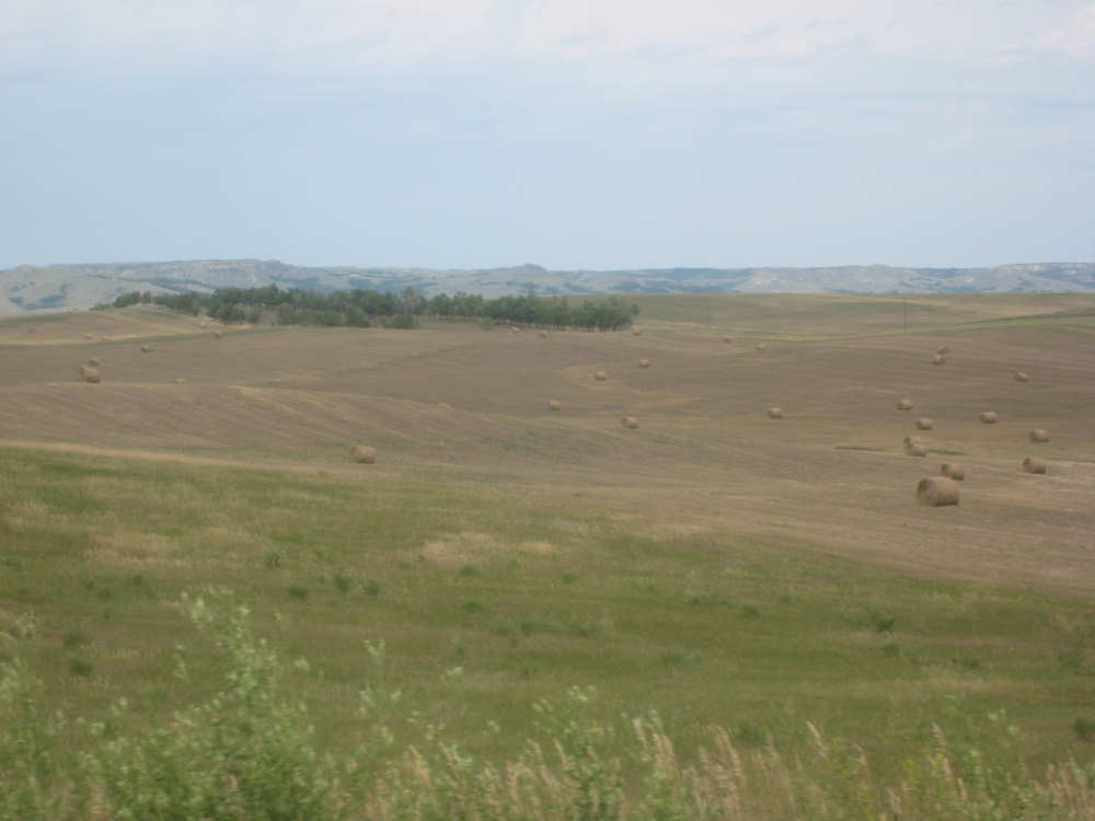
Hay bales in fields with hills behind
|
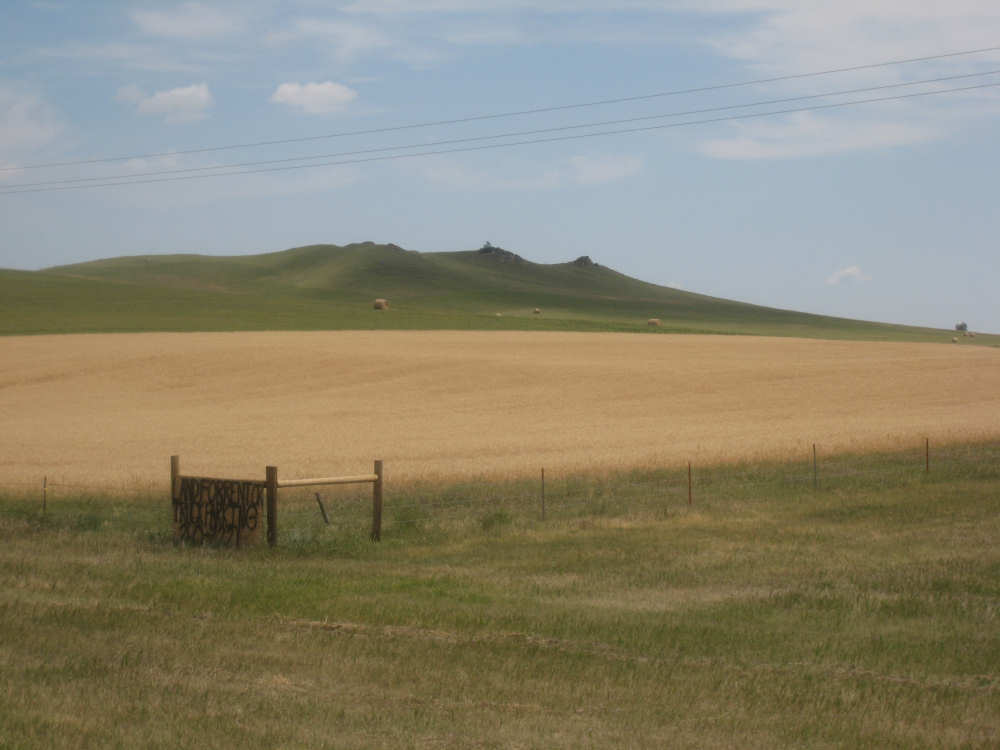
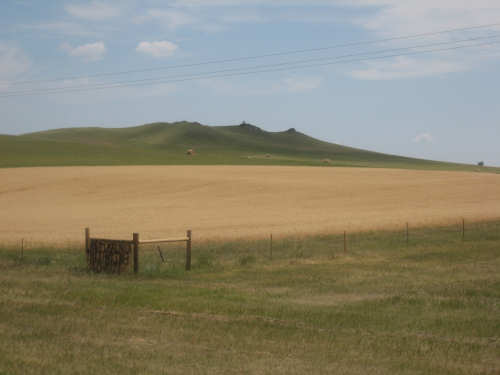
Interesting buttes and gullies
|

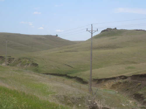
This area dotted with little rolling hills
|
Did we mention how hilly 200 was?
|
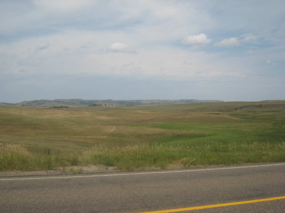
Another pretty scene just before Killdeer
|