Saturday, July 26, 2008
Williston, ND to Watford City, ND
48 miles (6561 total miles)
Our first full day in North Dakota went well. We saw the sun rise this morning, thanks to being on the western edge of a new time zone; the sky was pretty clear and the wind was blowing fairly strong already - in the wrong direction, unfortunately. At least, it was strong enough to keep the bugs off us most of the time; we had quite a number of them, mostly mosquitoes, checking us out today. We headed out at 7:45, hoping it would change midday like it often does - it didn't. We had a lot of rolling hills today, none of them very long or steep, and a short distance (a little over 47-1/2 miles). Tomorrow will be longer and hillier, so we hope the wind will have straightened itself out by then.
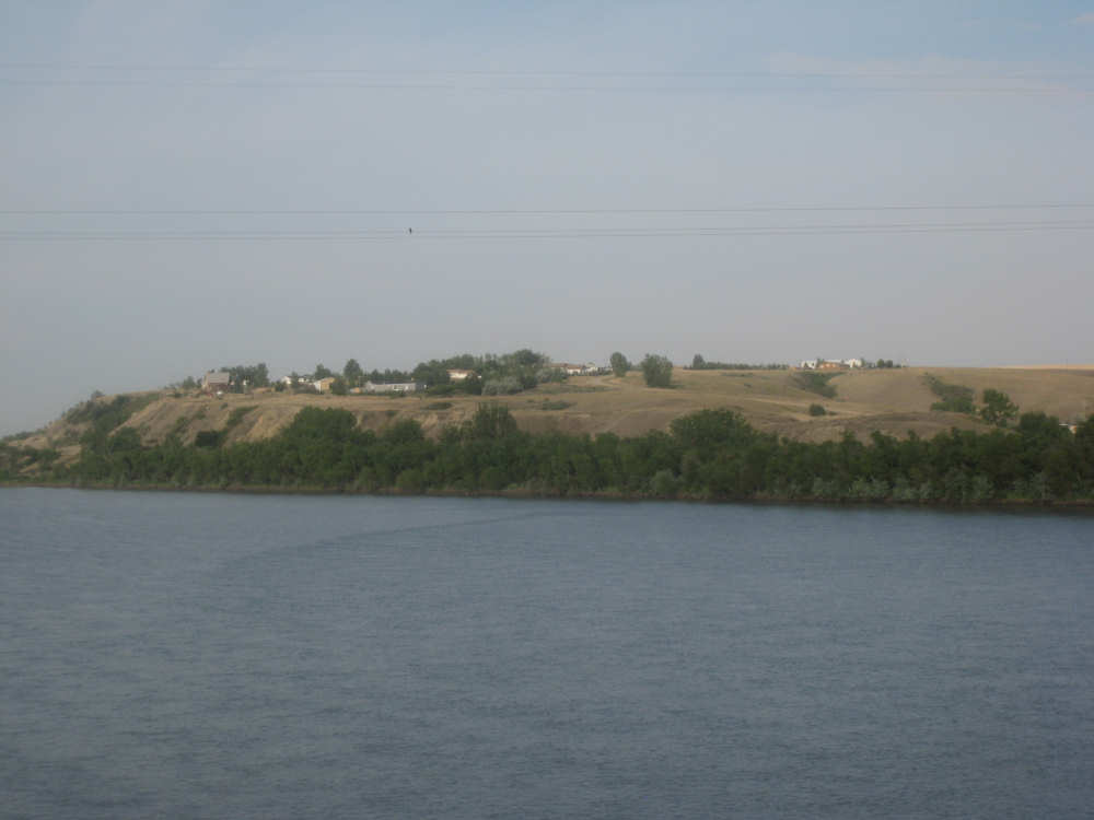
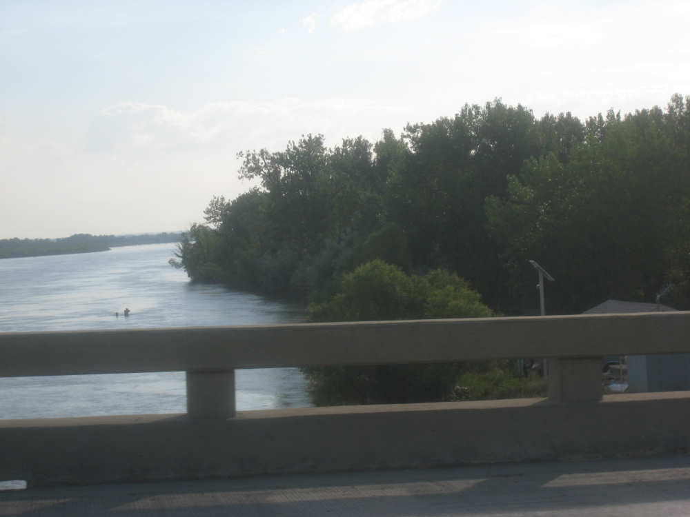
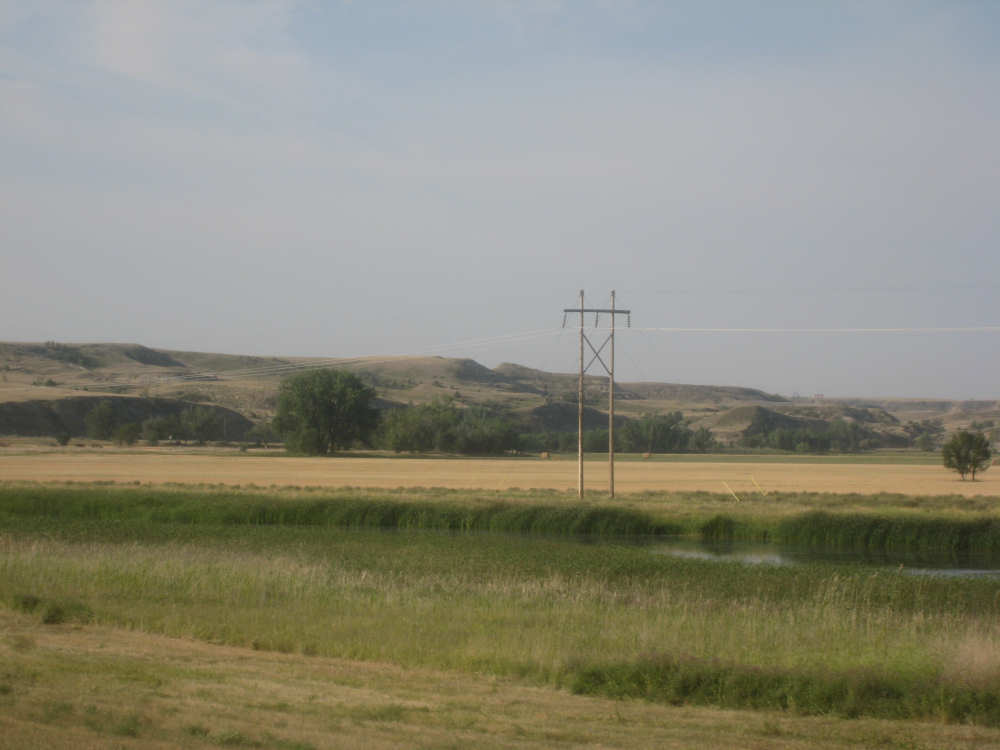
We had to backtrack a little to get on Rt. 85, heading down to Watford City. Once on 85, one of our first treats was crossing the Missouri River. Then we had the Lewis & Clark Wildlife Management Area briefly, during which we saw a rabbit, a deer, various birds, and crossed Lake Sakakawea. Then our first hill got our attention. The hills on the south side of the lake were quite interesting and provided some distraction as we headed up what was probably our steepest hill of the day, or one of the steepest. At the top, there were farmlands in all directions, mostly flat or slightly rolling fields of grain - very beautiful. We noticed that many fields had a small oil pump or two running and some had several tanks, presumably to hold oil. At one point, we saw two oil tankers pulled up to some of these tanks, which we guessed meant that they were tapping them. We wondered whether farmers set up these pumps on their own and sold the oil to distributors, or whether they sold the mineral rights to an oil company which set up and managed the pumps directly. That was one of the main differences we saw between the North Dakota and the Montana farms. The other difference we noticed later on in the day - some of the Dakota farms seem to use trees as wind breaks between fields, In Montana, the only trees we saw on the farms were generally clustered around farmhouses, protecting them from the wind and the heat.
We were lucky on two counts today. About 15 miles into the trip, we saw a sign for a rest area and came across the Panger Rest Stop, with working bathrooms and a few picnic tables. This turned out to be an interesting spot with a plaque explaining that it was a replica of the old Panger Homestead that used to stand there (from 1906). The Pangers operated an overnight inn for some time, which had started as just their being generous to passersby who needed a place to rest. The Highway Department took over the property eventually and restored it as a rest area as it had once been. The plaque is hard to read but it's worth the effort, it was a neat story. Our second bit of luck was that we found a pass-through town a little more than half-way on our route, and it turned out to have a very nice cafe that was open. This was the town of Alexander and it had some historic merits of its own. It was established in 1905, so its centennial coincided nicely with the Lewis & Clark bicentennial. They had a museum on the north end of town that had several antique pieces of farm equipment and the like on its front lawn. There was also a marker for a Ragged Butte Spring in town, a pure spring whose water was used to fill trenches that cows and steer could walk through to rid themselves of ticks, back in the day. We saw a butte as we left town which looked like it probably was Ragged Butte. There was also a big sign at the town's edge, listing the ten commandments - another bit of local color.
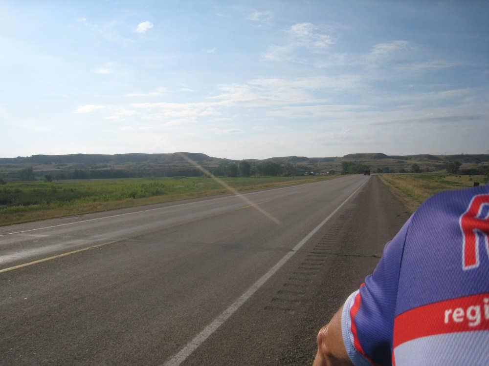
After Alexander, there were only 20 miles to go to our evening's destination, Watford City. It was a fairly easy stretch - the hills were less steep, the wind was less strong, and the scenery was pretty. We were still firmly in farmland with wheat and grain fields all around, now with more trees than previously and some interesting buttes and ravines. Watford City also had a museum at the edge of town which they called Heritage Park. It was fronted by a row of flags from several countries, perhaps showing the diversity of national backgrounds of the pioneers who settled here. There were also a few buildings which looked like replicas of buildings from the early 1900's. Our motel is called the Roosevelt inn and is awash in pictures and sayings of Theodore Roosevelt. Teddy is very big in these parts and tomorrow we'll be going through a little part of the Theodore Roosevelt National Park, which covers a large area of the famous North Dakota badlands. We arrived at our motel at 2:40, having done over 47-1/2 miles in less than 5-1/4 hours of bike time.
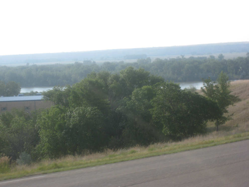
Our first peek at the Missouri River as we start down Rt. 85 |
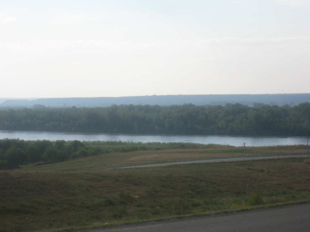
The Missouri River up ahead |
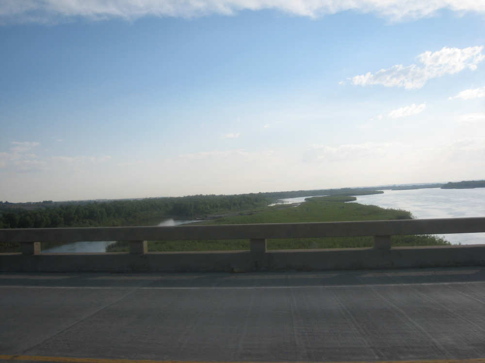
As we cross the bridge, the down-river side... |
and the up-river |
The south bank, looking down-river |
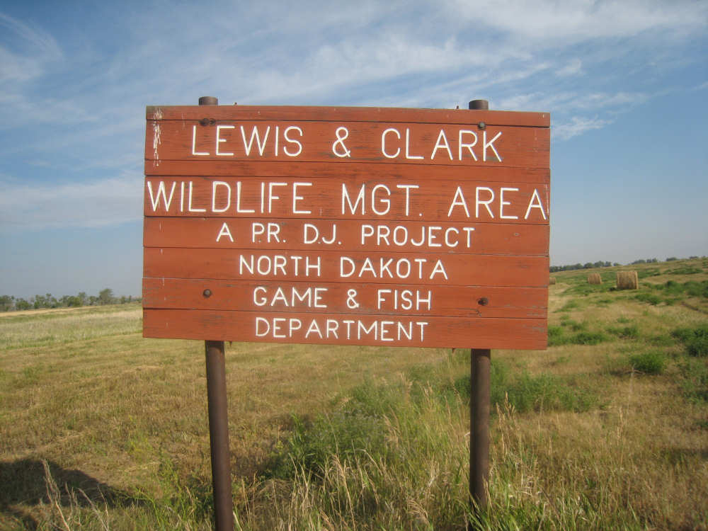
Soon after, we entered the L&C WMA |
Grasses growing along a small tributary of the lake |

Our deer turned and ran before I could get his picture |

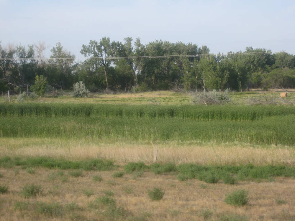
On the east side of the road, there were still farm fields |
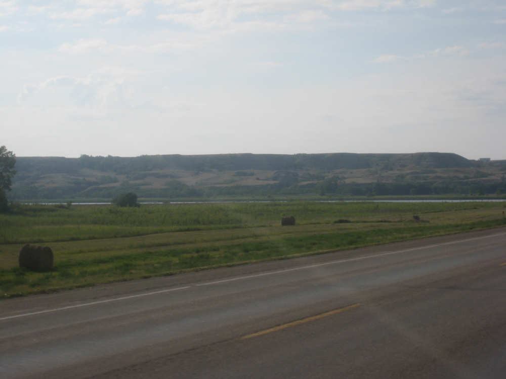
Looking south toward the hills on the other side of the lake |

Then we came to Lake Sakakawea, west of the road... |
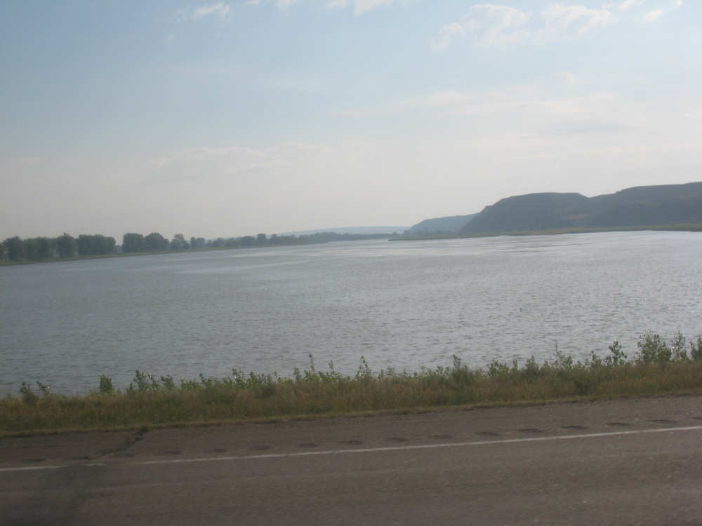
and east |
More grasses line the fingers of water coming off the lake |
Past the lake and its hills, there were more hills up ahead |

These hills looked really interesting, from afar... |
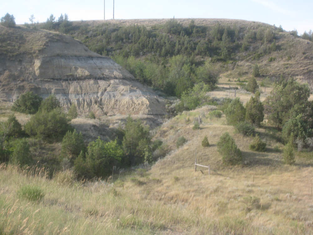
and on the way up |

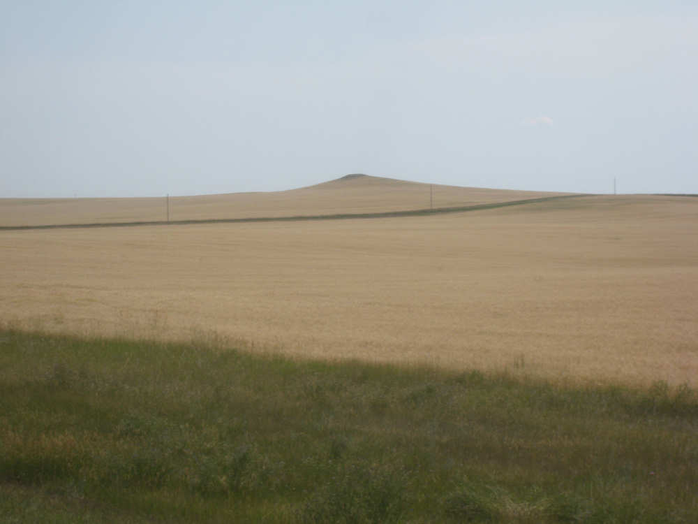
Back on top of the breaks, more fields of grain |

|

The Panger Rest Stop restrooms |

The plaque explaining the Panger history - click for the fullsize version to read it |

One of many oil pumps in the farm fields |
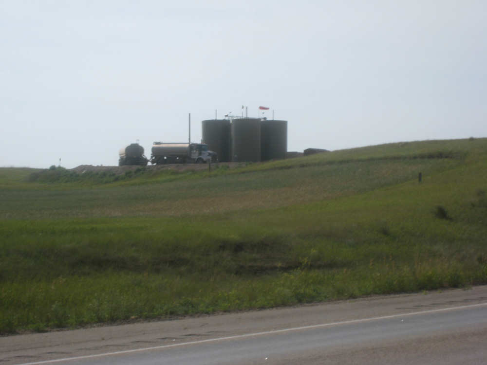
Two oil trucks parked at a farm's oil tanks |
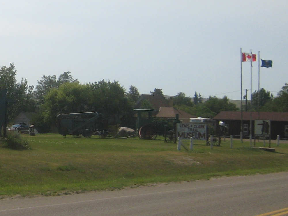
Ancient farm objects in the lawn at the Alexander Lewis & Clark museum |
The museum building |
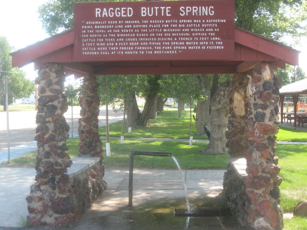
The Ragged Butte Spring... |
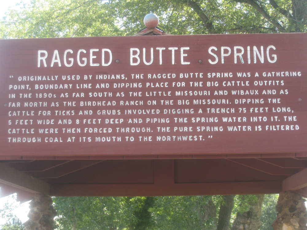
and its sign |
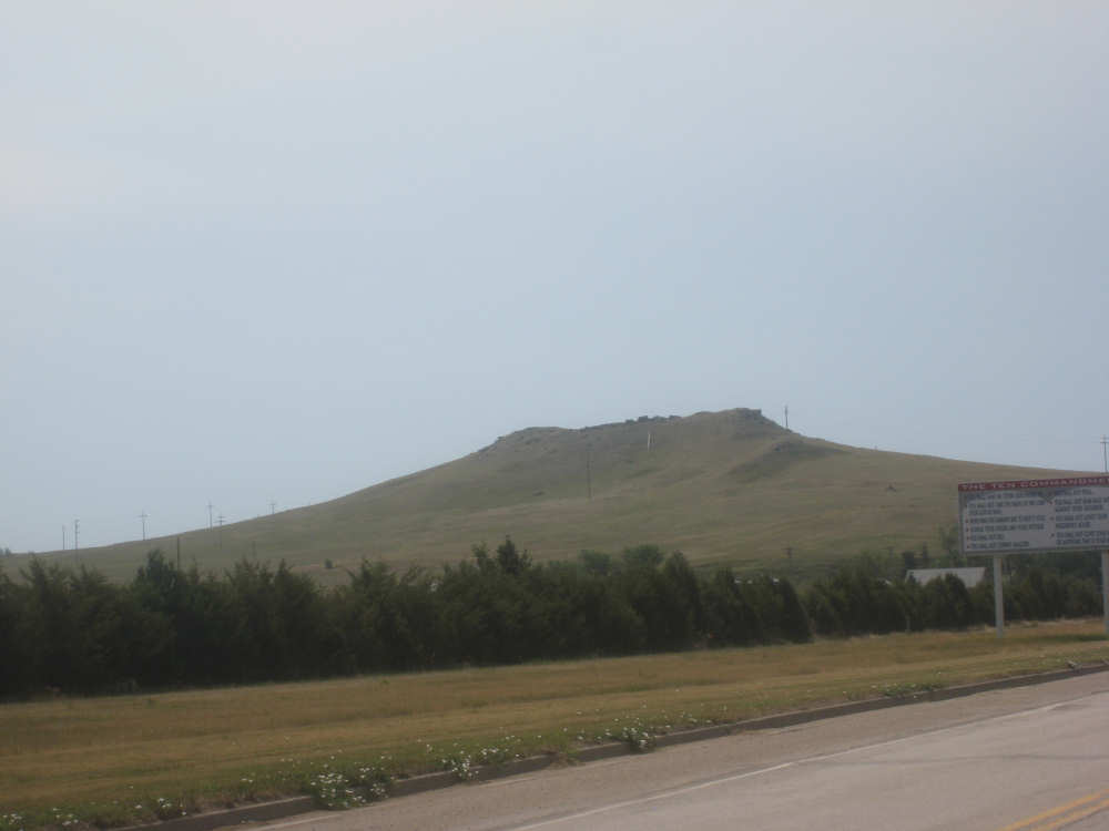
This might be Ragged Butte itself, and the commandments are at the lower right |
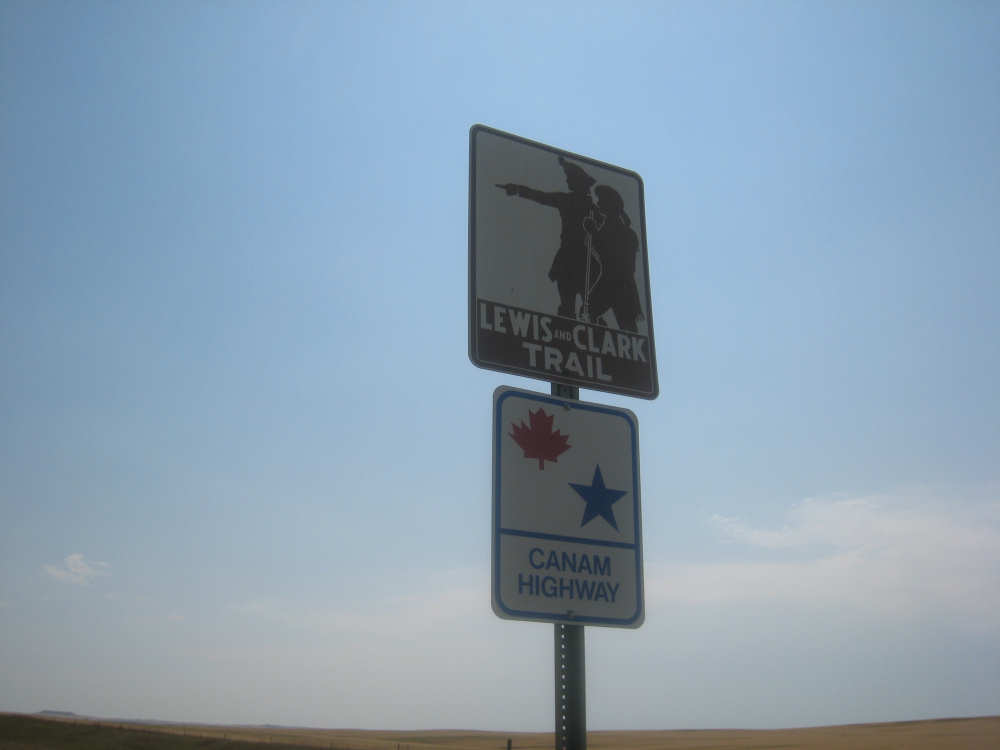
Hwy. 85 is also the Can-Am Highway, an indication of how close we are to Canada |
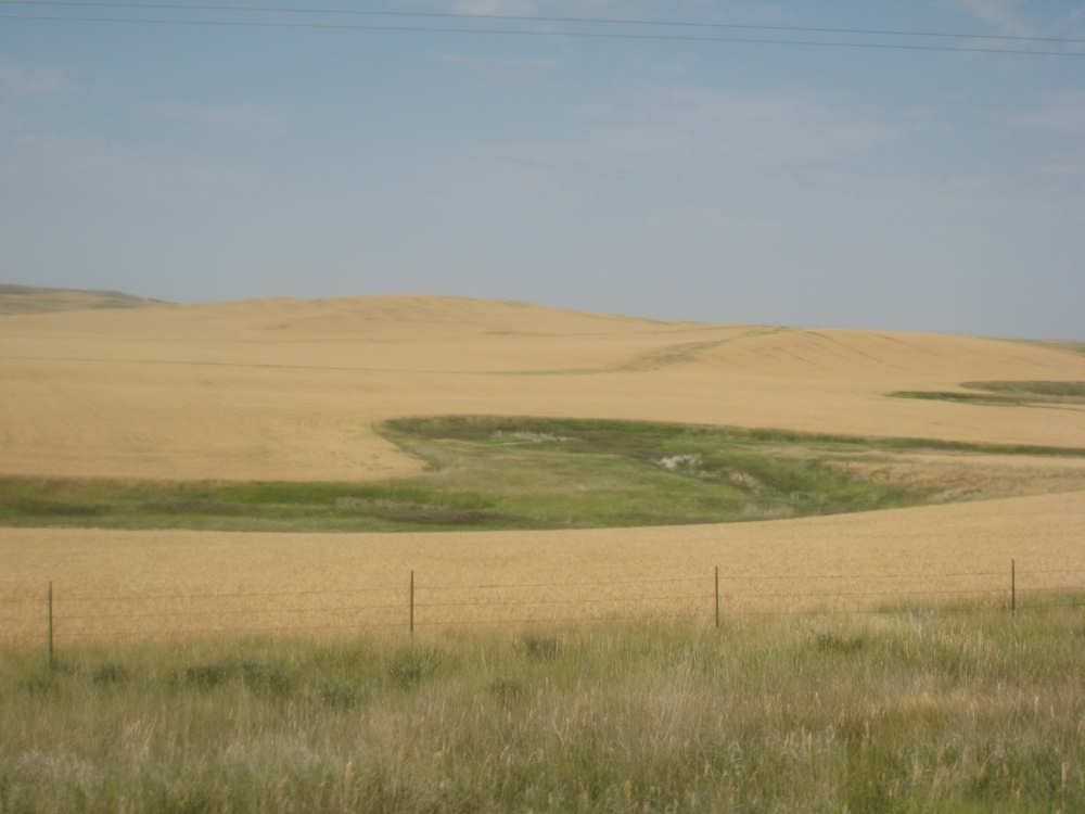
A grain field with, presumably, a creek running through it |
Another butte in the distance with grain fields surrounding it |
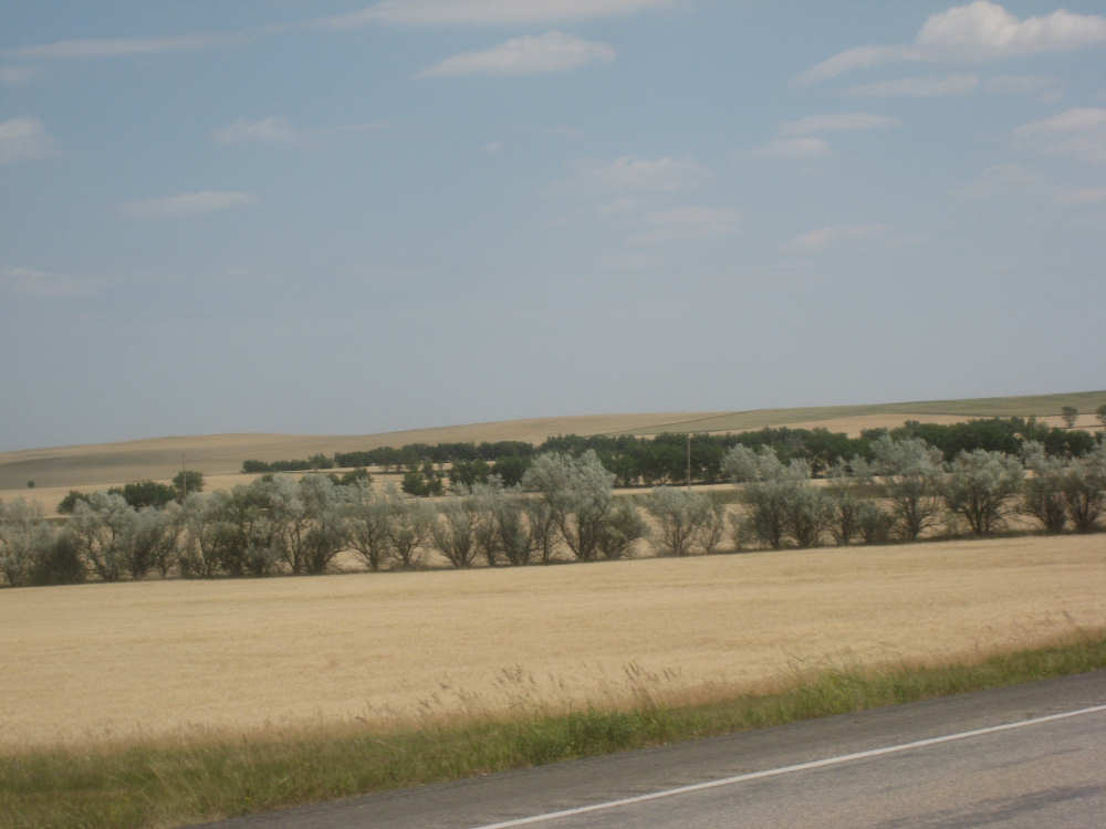
Farm fields outlined with rows of trees |

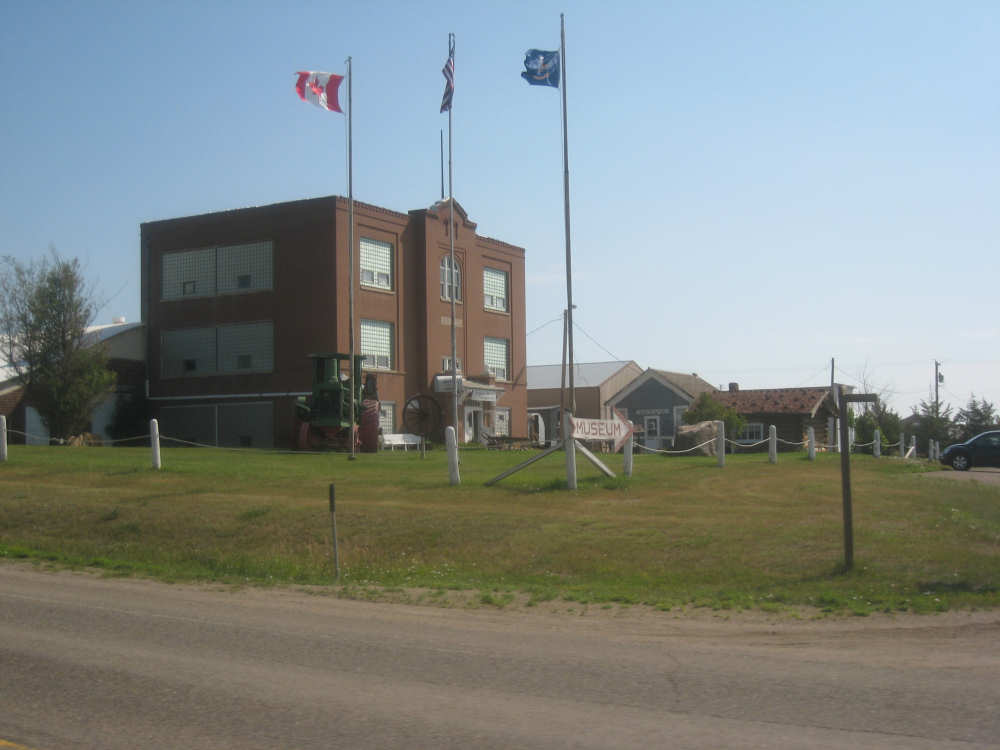
The Watford City museum buildings and flags |
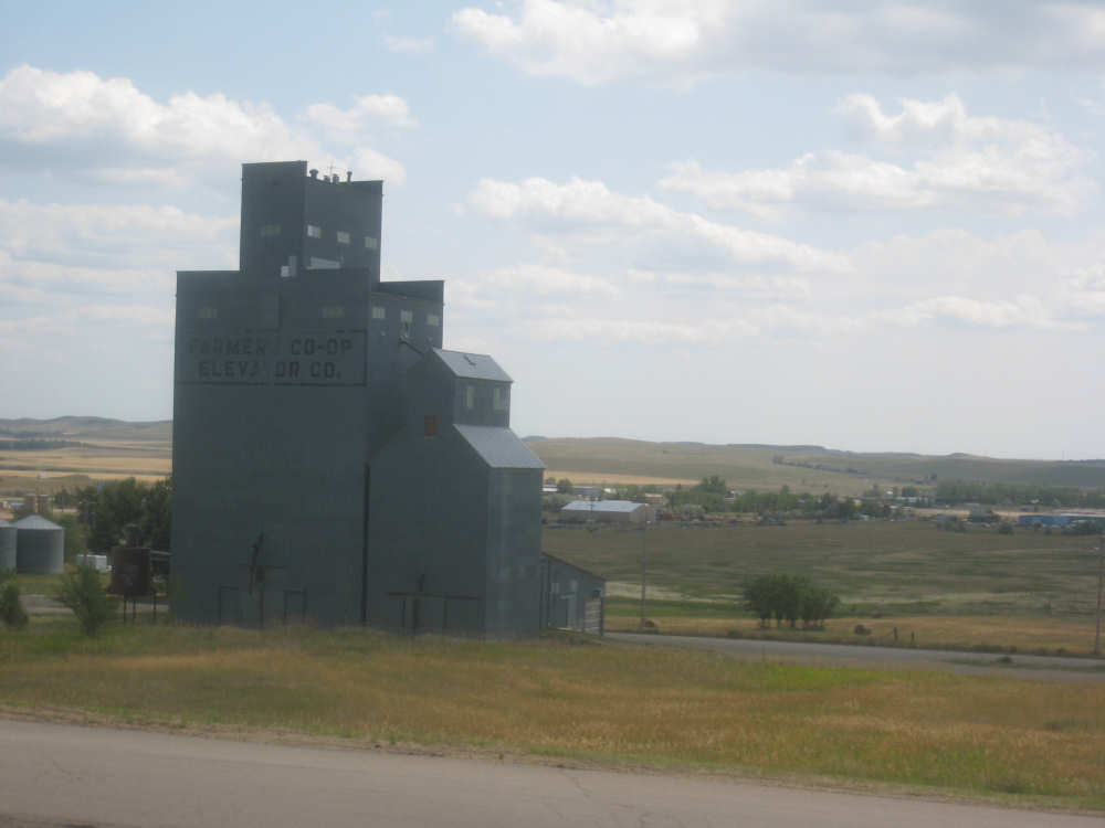
The local farmers' co-op grain elevator and the fields beyond |