Thursday, June 12, 2008
Eureka, CA to Orick, CA
45 miles (4692 total miles)
Back on the road again, and a pretty easy day to start out. We started at 7 am, stopping for breakfast at the first place we found on the way out of Eureka. We had decided to stay on 101 most of the day, with a slight scenic detour at Trinidad. Adventure Cycling had a complicated route leaving Eureka and going through nearby Arcata, which I'm sure would have been lovely, but we spent an hour trying to get our GPS to make sense of the roads and when we couldn't even get Google Earth to find the route they suggested, we gave up on it. So we were on 101 for about 20 miles to start and for over 20 miles at the end, with only a 3 or 4 mile diversion which was, um, interesting. Shall we say, we were glad we took the easy route in the morning. Pat wasn't feeling so great today anyway, so he didn't really feel up for much adventure.
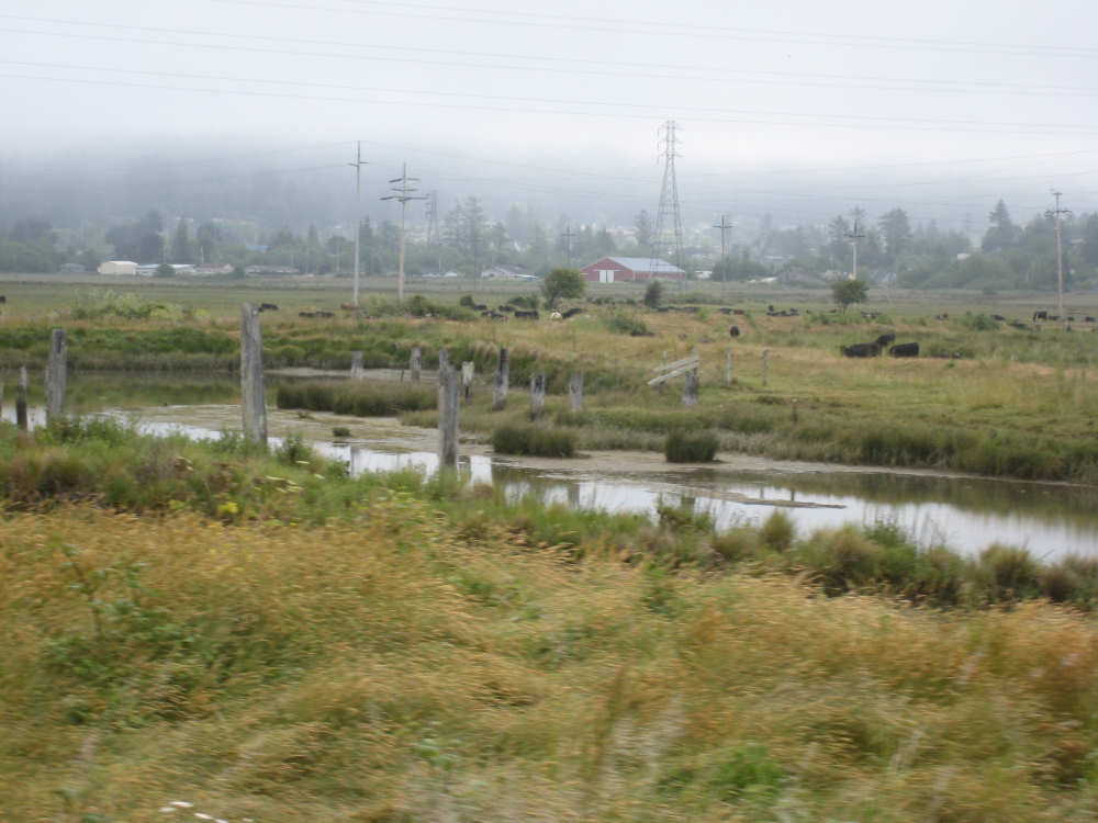
It was cloudy this morning when we started and there was lots of fog over the bay and in the forests. The visibility on the road was fine, though, and the fog cleared by 9:30 or 10. I guess it will be looking like this a lot when we get to Oregon. It was a little chilly, but warmed up when the sun came out. We had a hard time regulating our temperature - we would be warm going up hill when we were in full sun, but where it was shady or when the wind was blowing, it was often quite cold. The wind wasn't too bad today, stronger in the afternoon as usual, but not the knock-you-off-your-seat strong. The hills were pretty gentle today too.
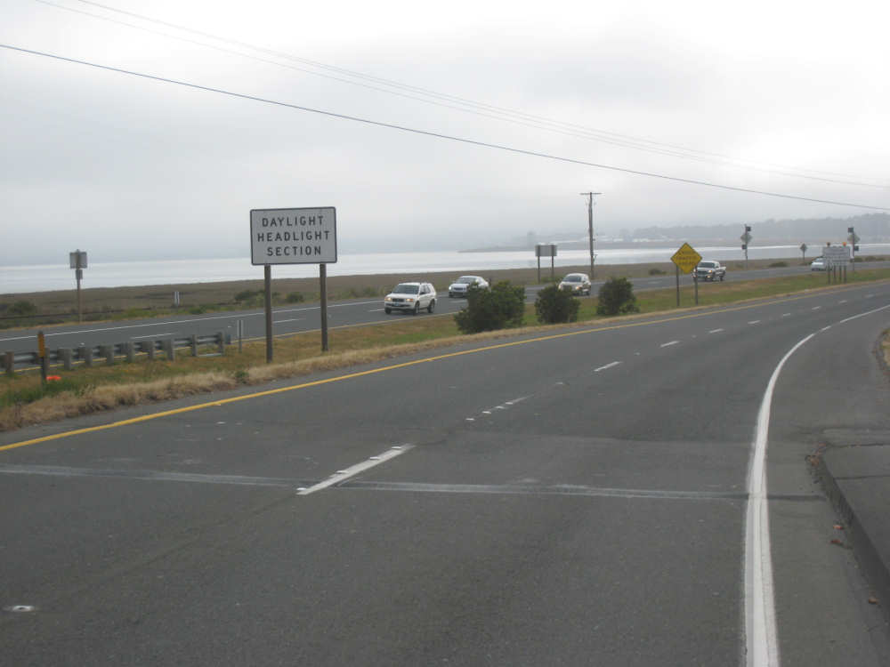
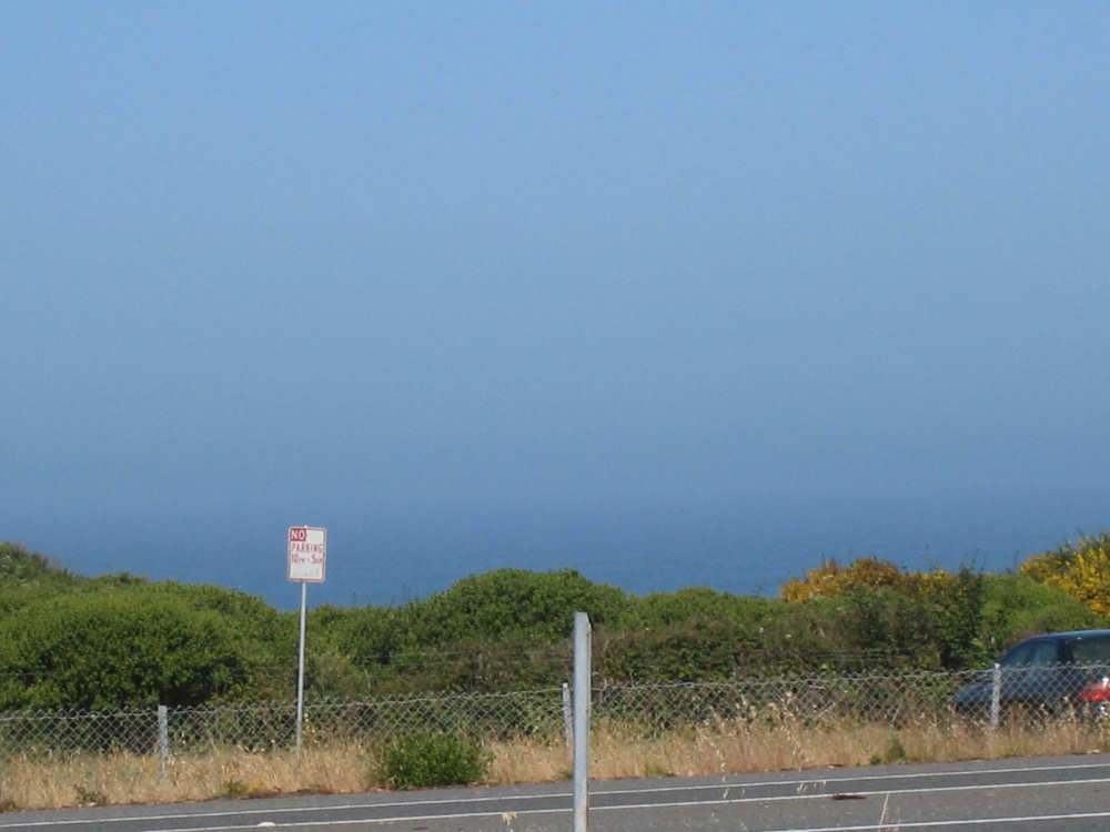
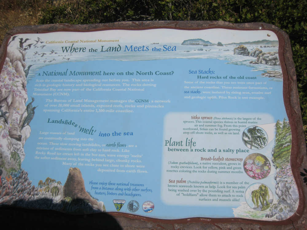
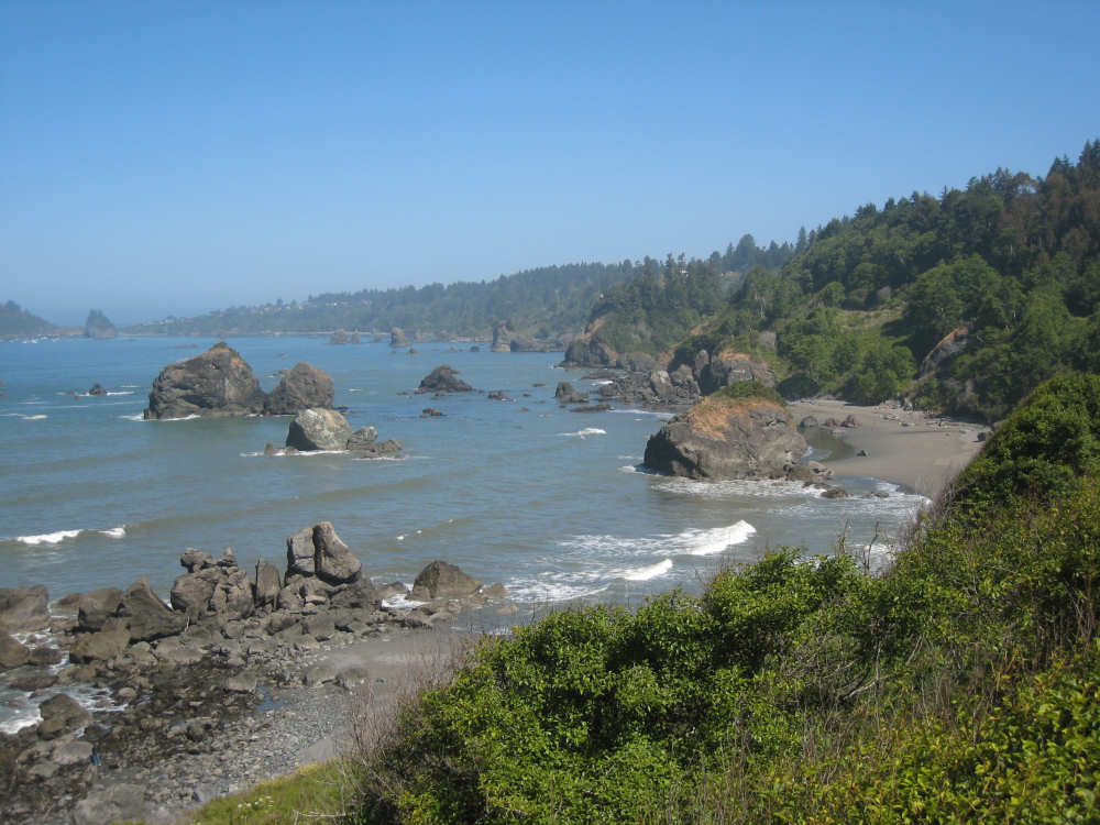
We started out going past the Humboldt Bay which became Arcata Bay. We had some good views of the water early on, but we soon were in the midst of groves of trees, mostly pines it seemed, with some redwoods. Crossing over a narrow bridge over a body of water near Arcata, we found an amazing system we'd never seen on a bridge before. There was a "bicycle detection device" just before the bridge, which detected our bike as it approached the bridge and set off flashing lights to alert the motorists on both sides that there was a bike on the bridge! It was a good thing, because two cars couldn't pass each other and our bike at the same time on this bridge. Soon after Arcata, we crossed the Mad River and came to McKinleyville, another large town that housed the Humboldt State University. Here, we finally caught a view of the ocean again. We passed by Clam Beach and got to the Trinidad exit, where we got onto Scenic Drive, a narrow little road that took us closer to the ocean. We hadn't been on it long when we saw a Road Closed Ahead sign. We decided to forge on and see what it looked like. We stopped at an overlook to take some pictures and asked a woman there whether the road really was closed ahead. She said it was closed to cars, but assured us that we would be able to get through. It turned out she was right, but there was a short stretch of gravel road that we decided to walk over. After that, it was a bit rough but wasn't bad. There was a plaque at the Road Closed barrier that explained the geology of the coast in that area. There are rock formations called sea stacks that "were once part of the ancient coastline. These resistant formations were isolated by rising seas, erosive surf and geologic uplift." It also said that "large masses of land are continuallly slumping into the ocean. These slow moving landslides, or earth flows, are a mixture of sediments from soft clay to hard rock...Wave energy 'melts' the softer sediment away, leaving behind large, chunky rocks. Many of the rocks you see close to shore were deposited from earth flows."
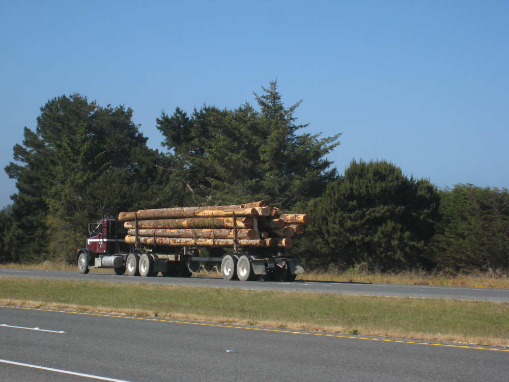
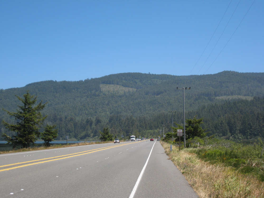
We got to the town of Trinidad, passing a turn-off for a nearby Indian Casino. Trinidad was another small resort town and probably was really pretty down along the coast, but Pat still wasn't feeling up to snuff, so we opted to go back onto 101 and get to Orick as quickly as possible so he could rest up. 101 was a 4-lane divided highway with a good shoulder at that point but it dwindled down to a 2-lane road with not much shoulder over the next 20 miles. There weren't any other towns between Trinidad and Orick, but the road meandered near the coast, around 3 lagoons (Big Lagoon, Stone Lagoon, and Freshwater Lagoon), up a few hills and through lots of forest with several mountain laurel and rhododendron bushes here and there. There were a couple of spots where the road went down to one lane due to road repair work. All in all, though, it was pretty scenic and quite enjoyable.
We reached Orick to find a welcome sign saying it was the home of the world's tallest trees. There were also lots of wood carvings for sale at a number of spots. A large area between Trinidad and Orick is designated the Redwood National Park, with lots of hiking trails and picnic spots. There were horses available for trekking through the forests. Apparently, there are elk in these forests as well. We got to our motel around 2:30, a very comfortable place with a cafe attached, so we have an easy breakfast place in the morning. The motorcycle run in Garberville, that we heard about when we were in that town, is having an impact here in Orick as well - lots of motorcycles are converging in the town, an easy run down to Garberville I guess, although it took us 2-1/2 days. Pat's trying to sleep off whatever's bothering him, so we'll see how he feels in the morning. Hopefully, he'll be well enough to hit the road again. We finished the day at 45.3 miles in 4-3/4 hours of bike time, our best average since before San Francisco.
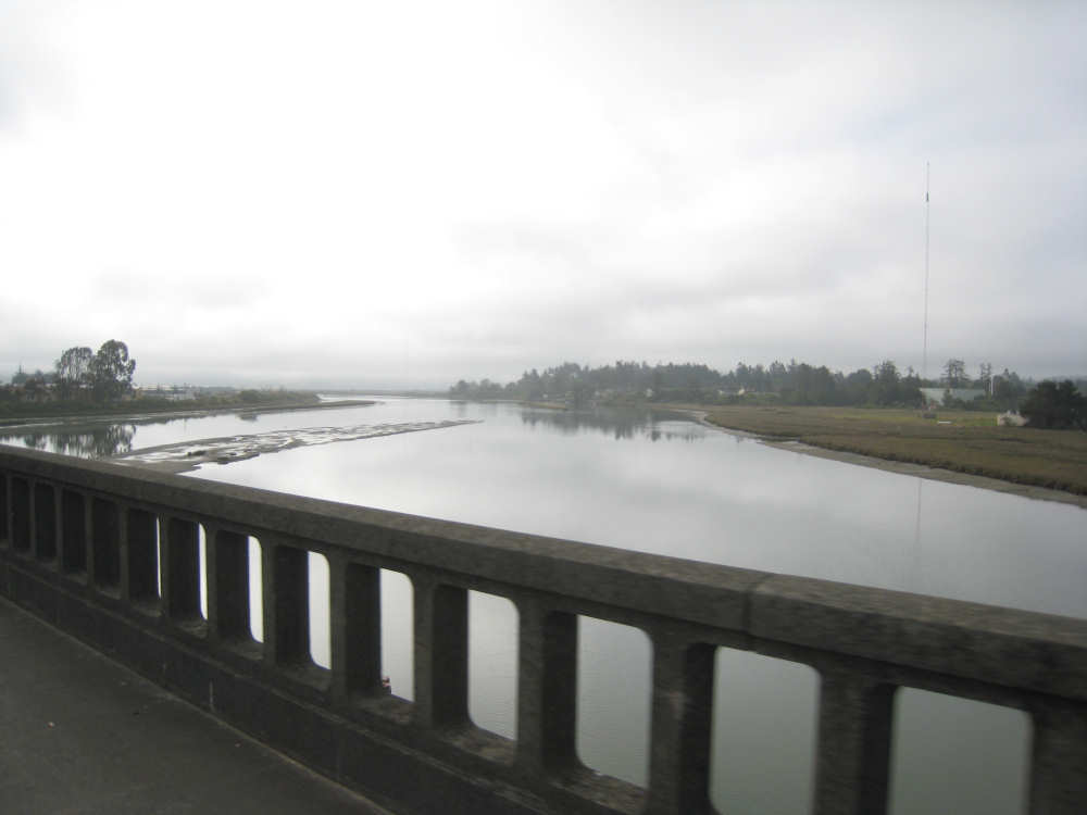
Looking a lot like Oregon, fog over Humboldt Bay |
Going past Arcata Bay |

A small airport, fogged in |

Fog in the nearby forested hills |
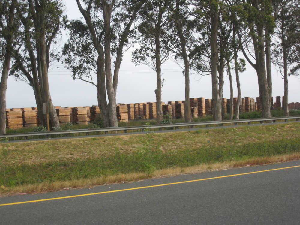
Acres of lumber products by the road |
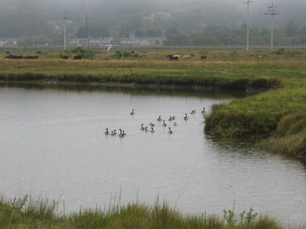
Ducks in the marshy area across the road from the bay |
McKinleyville peers out from the fog |
Logging trucks are beginning to show up again |

Crossing over Mad River |
The ocean peeks up over the edge of the hill |

And there it is in front of us |

A beautiful view of the beach near Trinidad |
A plaque explaining the rugged coast in the area |
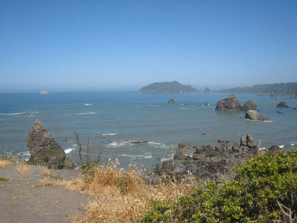
Pilot Rock, the white rock in the upper left, and Trinidad Head, the large rock |
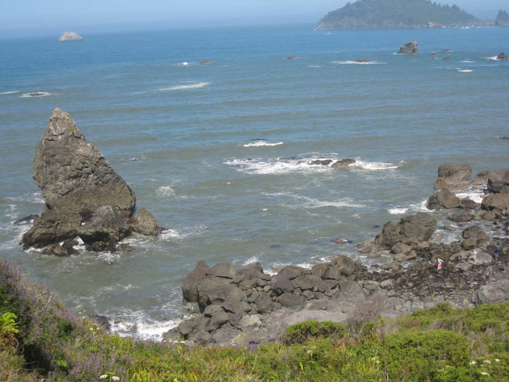
Close-ups of the shore line; note the tiny people climbing on the rocks in the lower right |
|
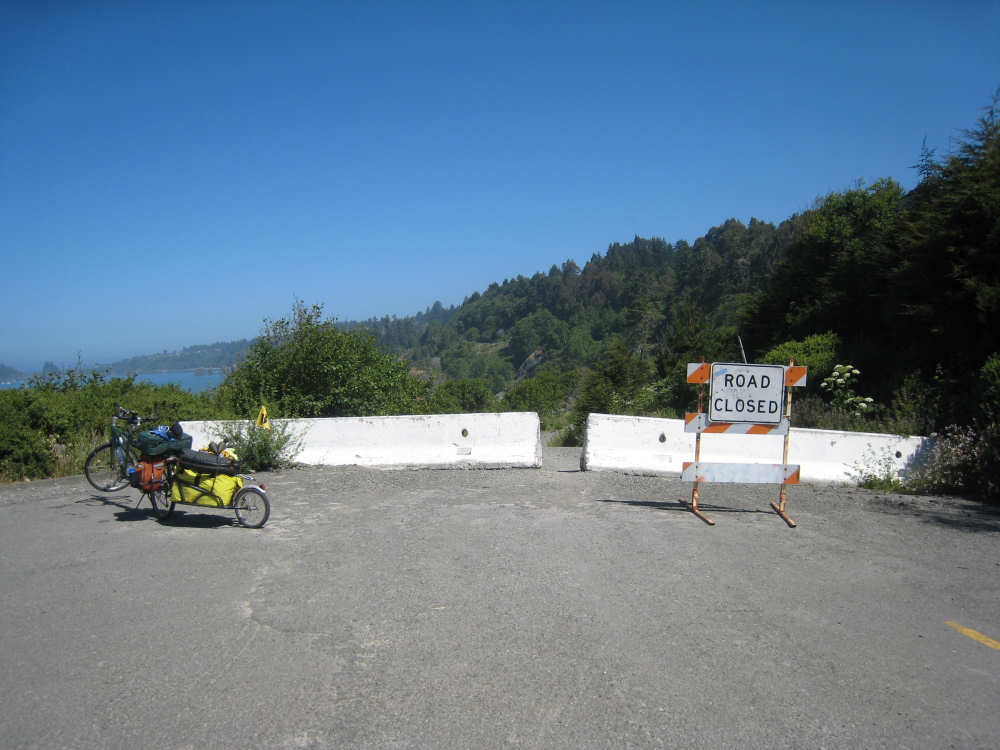
The road barrier... |
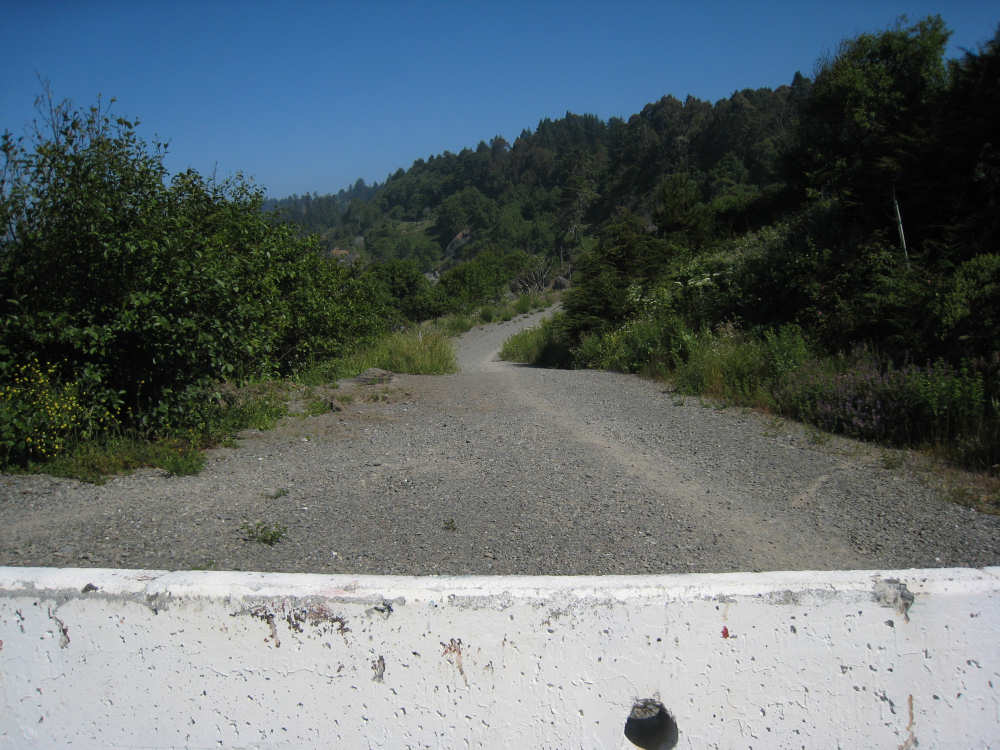
and the path beyond it |

Sign for the Indian casino near Trinidad |

Forests along 101 after Trinidad |
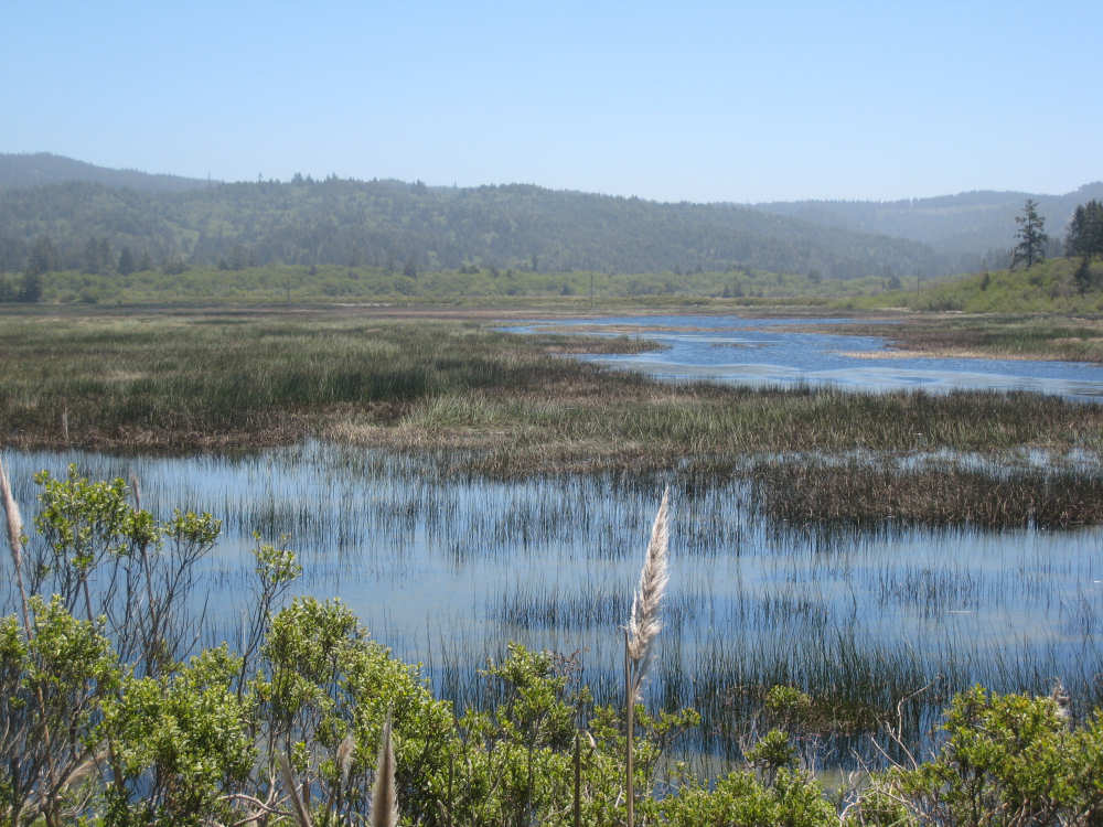
The Big Lagoon |
Forested hills ahead |

Crossing an inlet in the Big Lagoon |
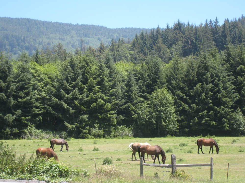
Horses rented for trekking through the park trails |
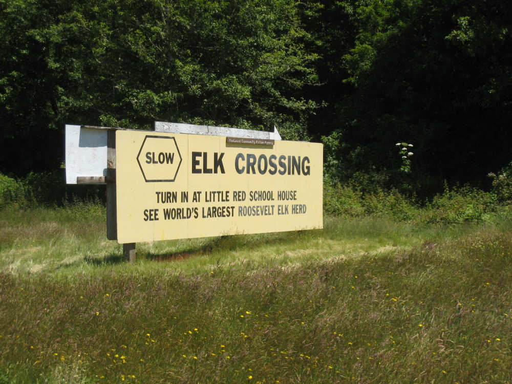
Elk Crossing sign |
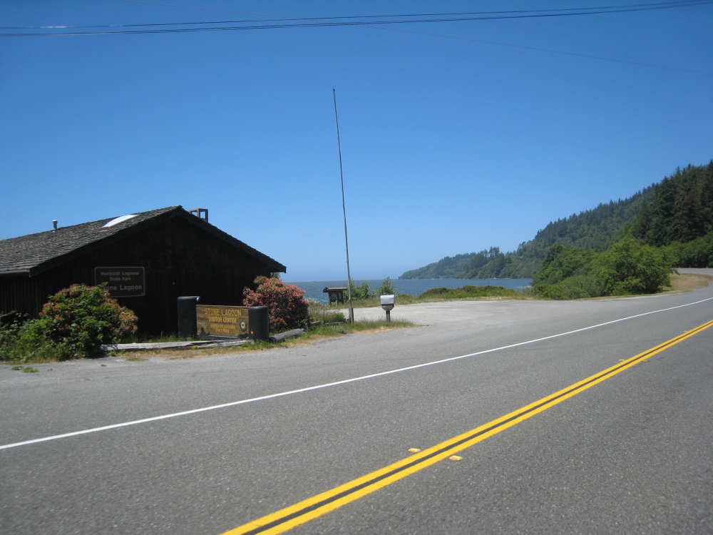
Coming to the Stone Lagoon |
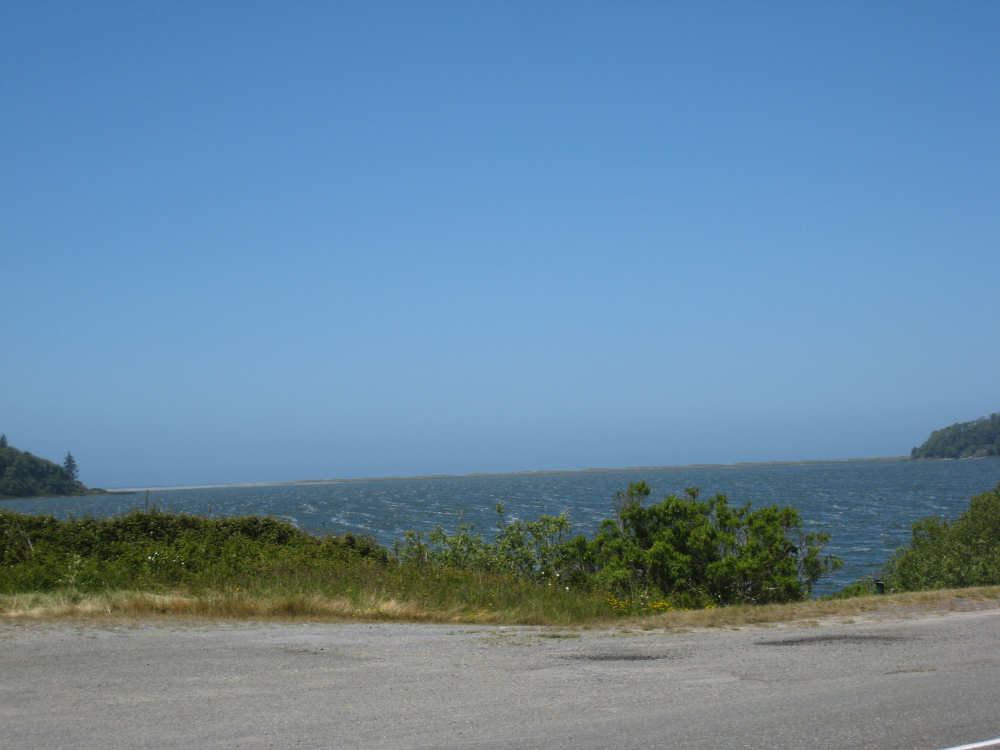
Waves in the Stone Lagoon were moving sideways |

The Freshwater Lagoon near Orick |

We're at sea level back at the ocean |

A hill 'slumping' toward the ocean |

Two people and their dogs enjoying the ocean |
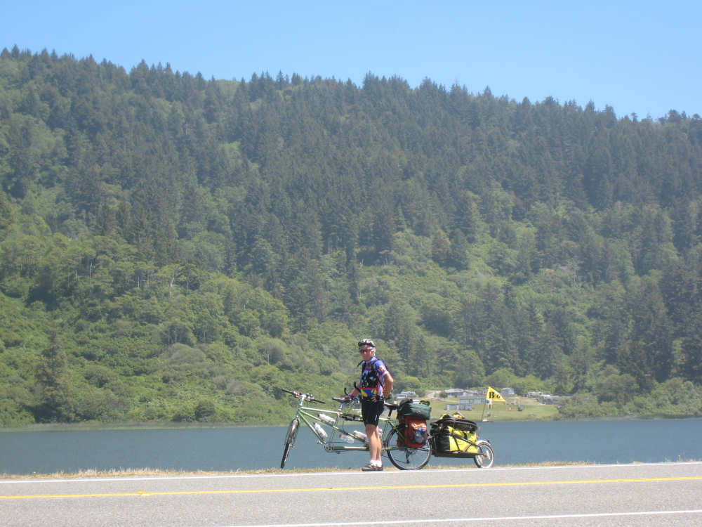
Pat in front of the lagoon with the hills behind |
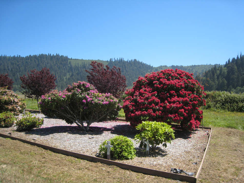
A flowery welcome to Orick |

Orick's claim to having the world's tallest trees |
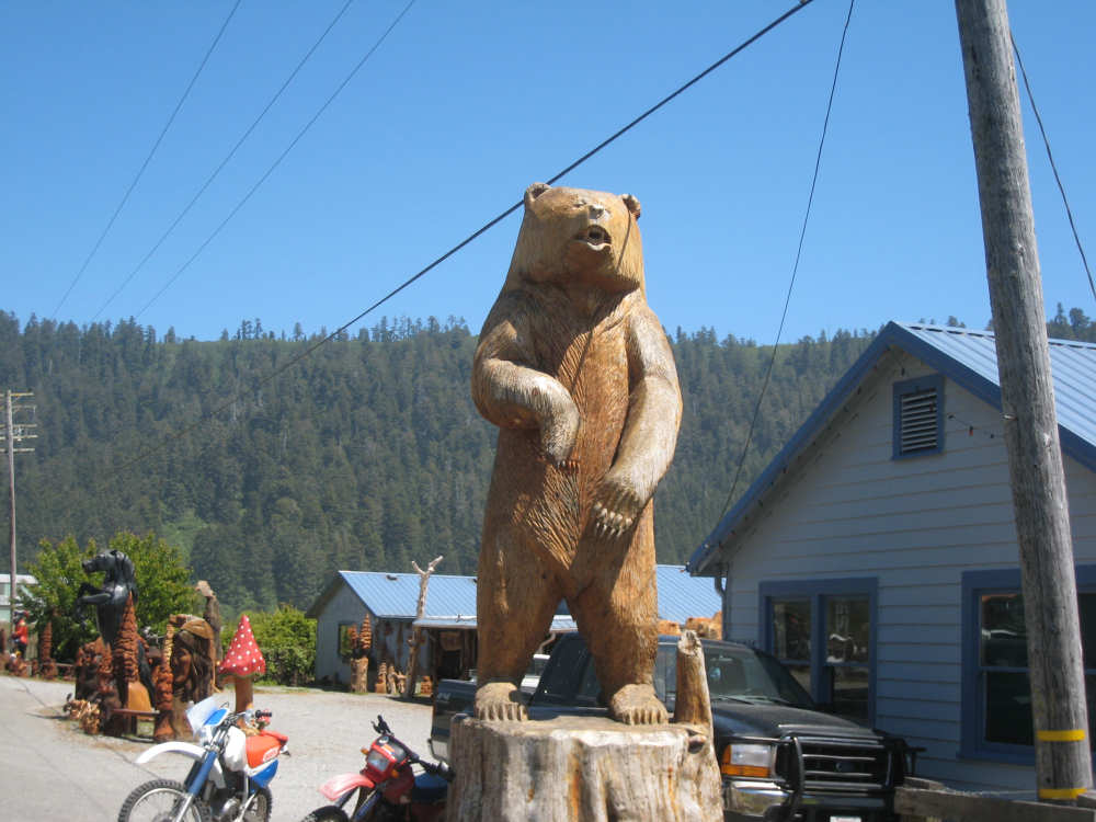
Our favorite wood carving yet |