Friday, June 27, 2008
Vancouver, WA to Cascade Locks, OR
48 miles (5281 total miles)
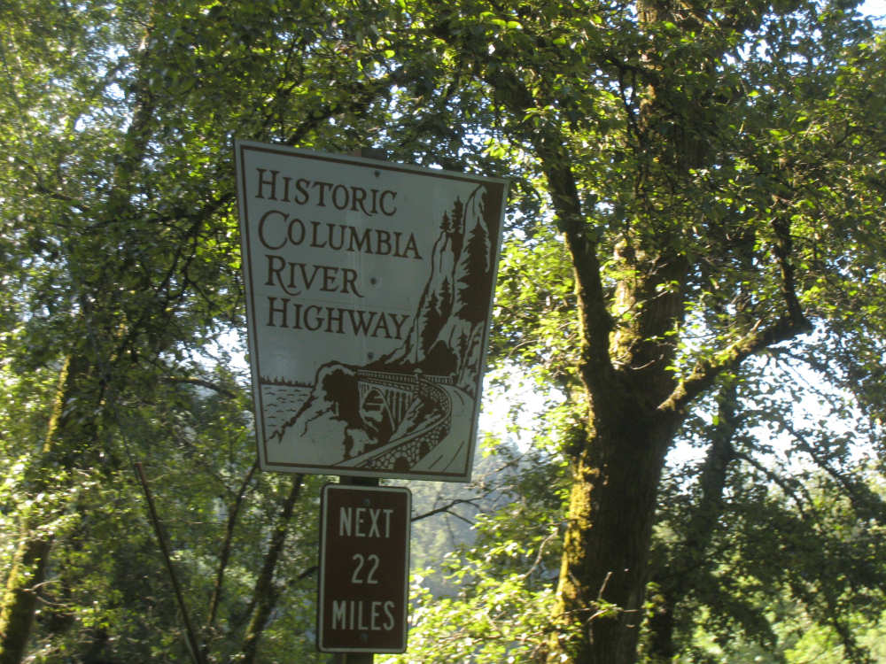
Amazingly enough, it was sunny this morning and just a little cool! Unfotunately, it got quite hot by the end of the day and tomorrow will be more of the same - we seem to have jumped into summer in a flash. We set out this morning after another wonderful meal. Dorothy grew up on a farm and seems to know how to feed farm hands, which applies pretty closely to us, too. We went back across the bridge to Oregon and headed east along the Columbia River. The river looked calm and sparkly in the early morning sun; we were only seeing one channel of it though, with the other side hidden behind Government Island. Later down the river, we saw what looked like houses floating in the river. It was hard to see whether they were actually on pylons or not; they were lying very low on the water. We soon got out of the Portland area and entered the quaint little town of Troutdale and got onto the Historic Columbia River Highway. This was the original highway along the Columbia River Gorge, built with the intent to keep the beauty of the area intact and as accessible as possible to the people driving along the route. Vista points and picnic areas were planned into the road construction. The road was the jointly conceived by attorney Sam Hill and engineer Samuel Lancaster, whose shared vision is honored in many of the informational plaques along the route today.
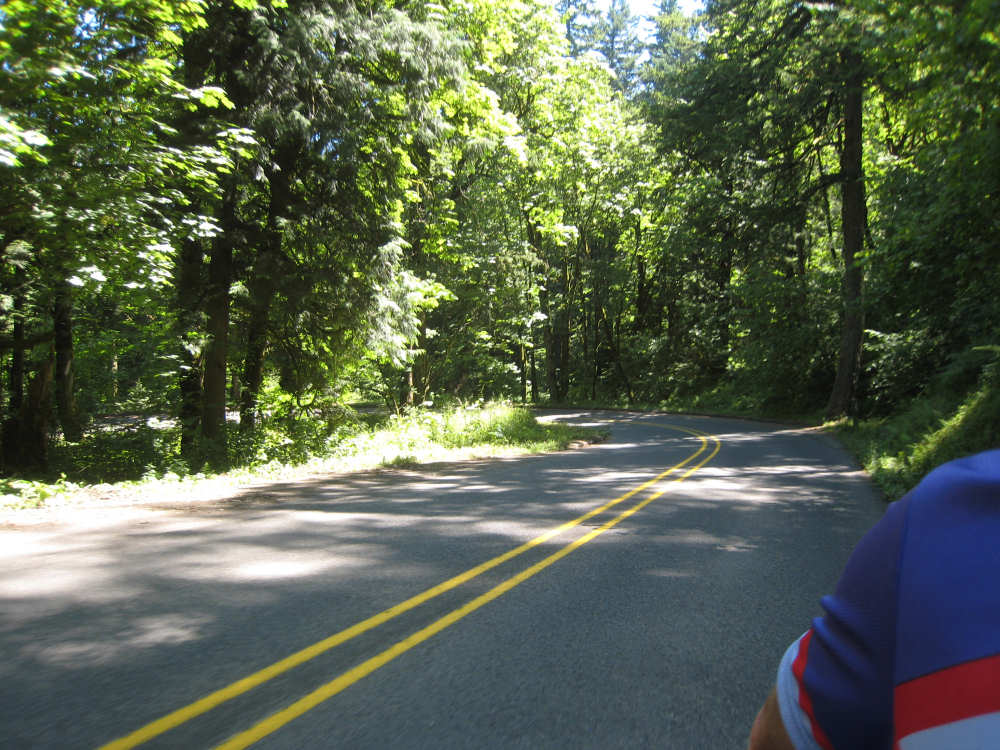
The route had a fair amount of climbing but most of it was fairly gradual and there were lots of beautiful spots to stop and enjoy a view or a spectacular waterfall. Our first stop was at Sandy Creek where we met and chatted with two other bikers. We asked them about some of the trickier parts of the trail later in the day and one of the bikers gave us crystal clear directions on how to get on the route and the various twists it would take. This was immensely useful later when, as we expected, the bike trail was not well marked and we would have had a much harder time finding our way. Next, we saw a sign for a vista point called Portland Women's Forum and pulled off there. By this time, we were pretty high up and the view of the river below was quite awesome. We chatted with a woman from Australia who does a lot of biking and now lives in California; she told us they're having lots of fires there now, which we hadn't heard, and that large areas are thick with smoke. We continued east and found another beautiful scenic point called Vista House, a beautiful octagonal building done in Art Deco style with stained glass windows all around. The view from this outlook was even more spectacular. We also got into conversation with another group of bikers who were doing a 50-mile day ride through the gorge.
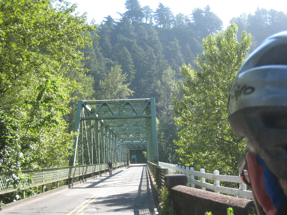
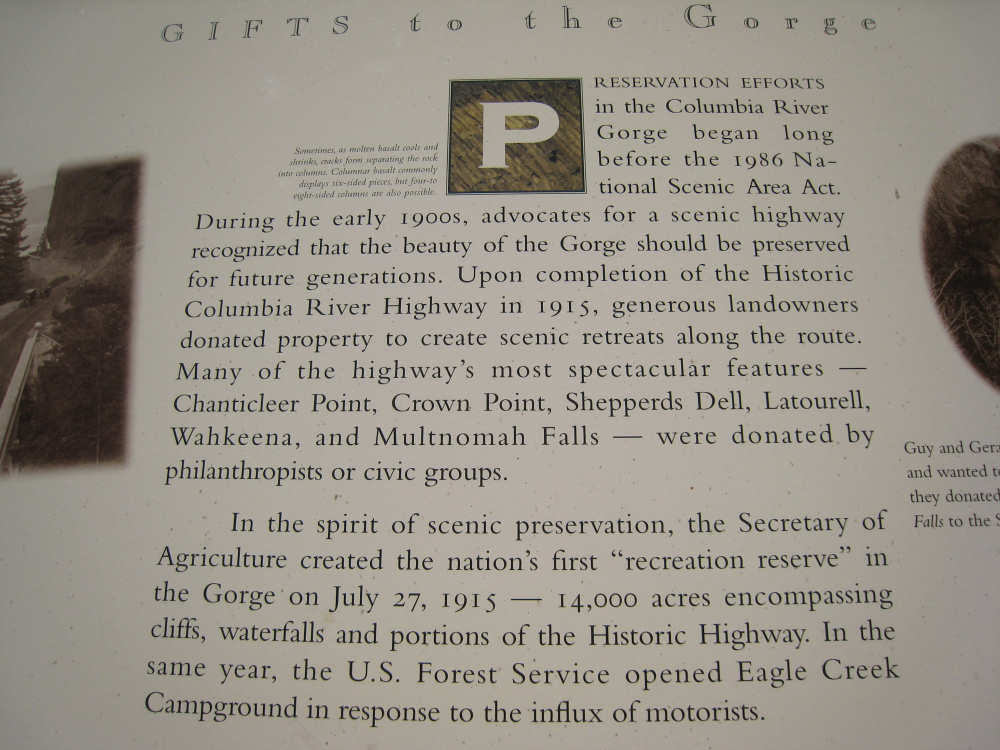
After Vista House, the road began to descend down a narrow road with lots of 180-degree turns. The traffic was moderate but very slow moving as everyone was there to enjoy the road and the scenery, not rush to somewhere else, so it was a very enjoyable ride. Along this part of the route was a series of waterfalls, all quite high. They were ethereal-looking in their descent and it was quite enchanting to watch the water drop in ever-changing patterns. According to a plaque at one of these waterfalls, a lot of the land along the scenic highway was donated to the state as recreational areas and the Department of Agriculture created the first "recreational reserve" in the Gorge in 1915 - a precursor to our national parks. All along the highway, there were remnants of the original guardrails, some wooden, some stone, and there was one old tunnel, no longer used, cut into the rock at Oneonta Gorge. And of course, there were beautiful trees and impressive rocks and hills. At times we could see across to the Washington side of the river, which also had huge, rugged hills.
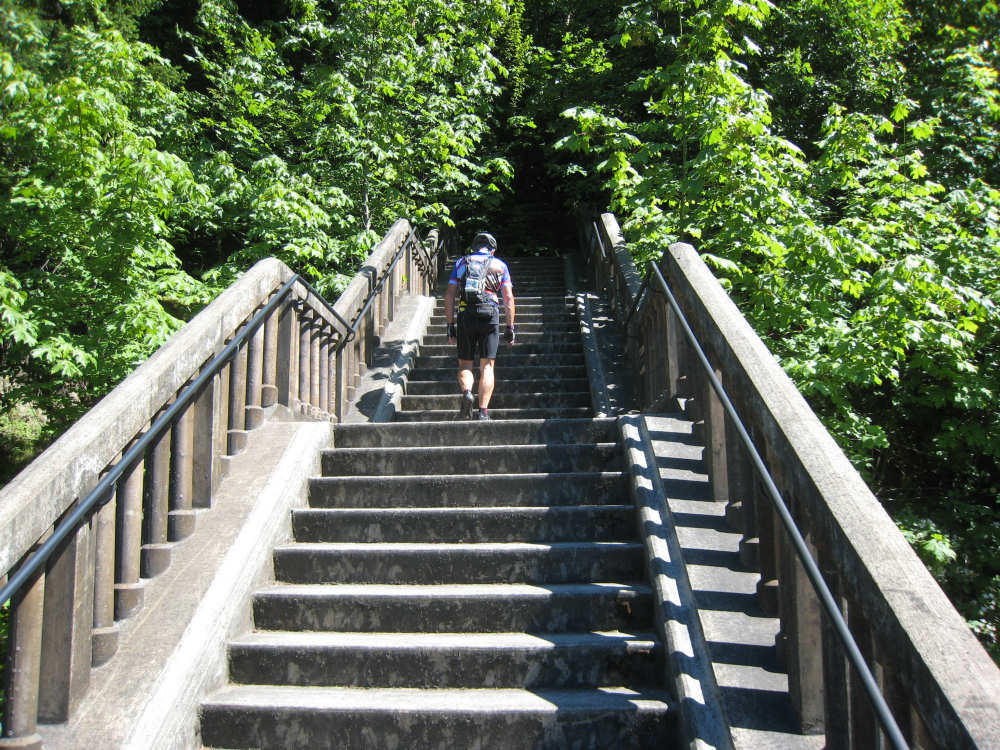
At the end of the old highway, the route continued on the Historic Columbia River State Trail. This is where our bike angel's instructions came in very handy. One charming feature of this trail was a 63-step steep stairwell down. We had been warned about the stairwell by the Adventure Cycling maps but they didn't indicate it would be so steep. Our biker friend told us, at least, that it was downhill, much to our relief, and that it was unwise to avoid it by going along I-84 because there was a dark and narrow tunnel along the highway just before that point. So we took our rig apart and brought it down the stairs in pieces. After that, the trail twisted around a bit, going past a fish hatchery at one point - this one was in full operation, not like the last one we saw. The trail was very scenic but we were getting pretty tired at this point, especially since the heat was getting a bit oppressive. We finally turned down the street to our motel in Cascade Locks and settled in for the evening. We arrived at 4:20, having gone 48 miles in a little under 5-1/4 bike hours.
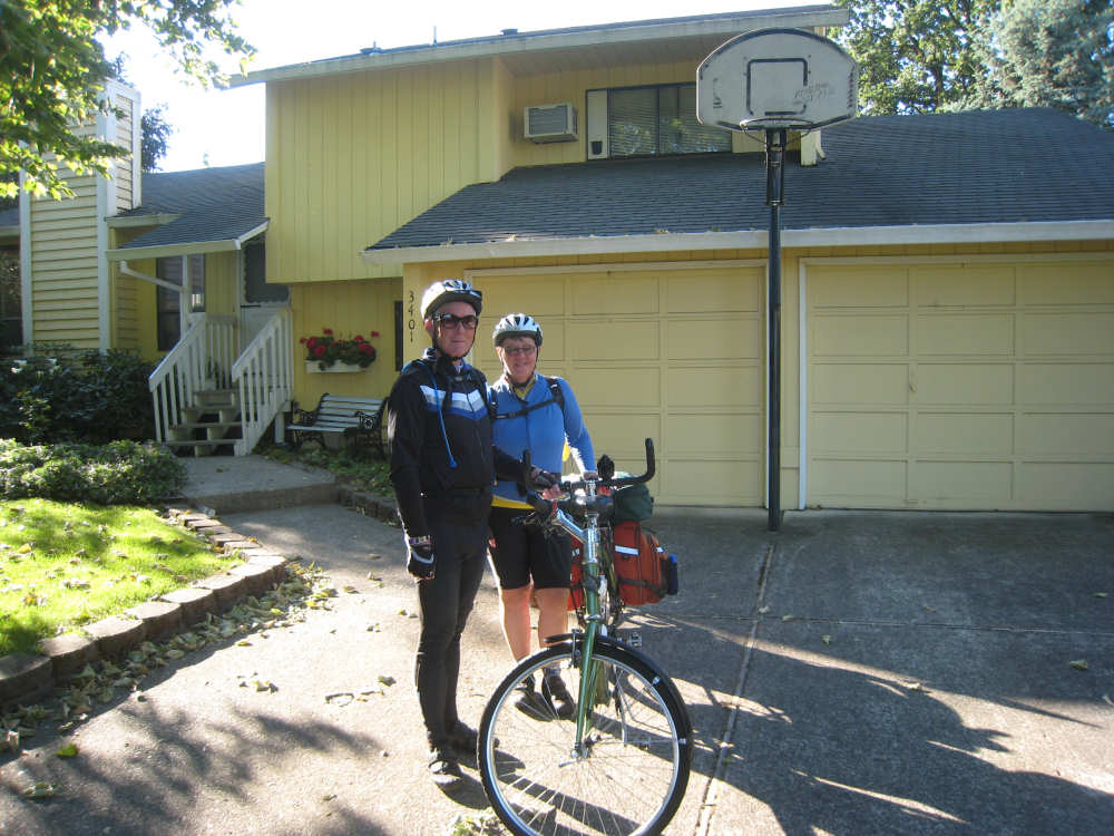
Heading out from Dick and Dorothy's house in Vancouver, WA |
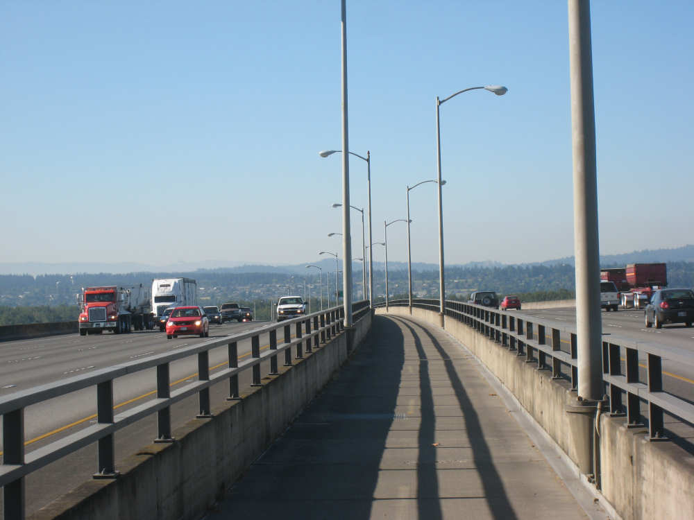
Back on the bike path between the 6-lane Rt. 205 |
Looking back on the 205 bridge from the Oregon side |
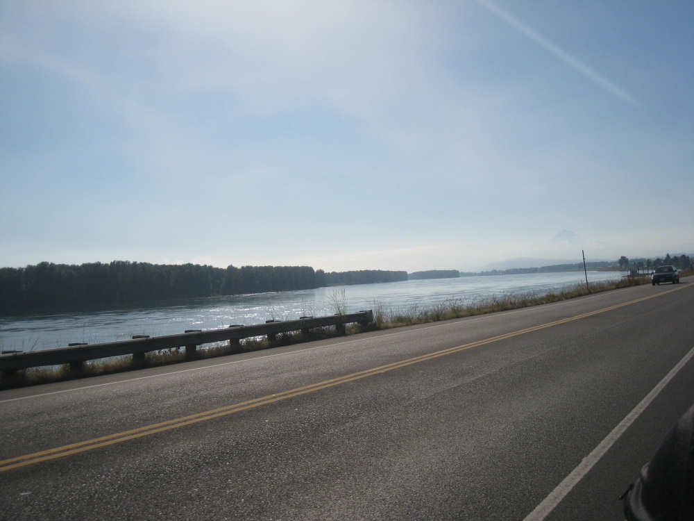
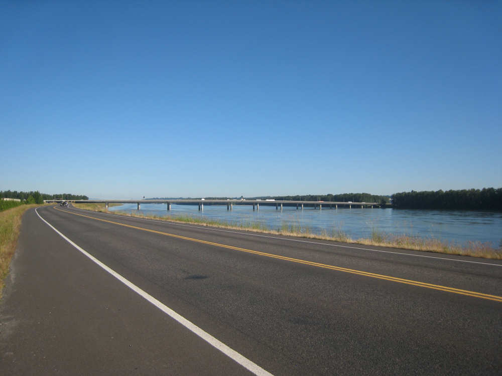
A channel of the Columbia River and Government Island at the edge |
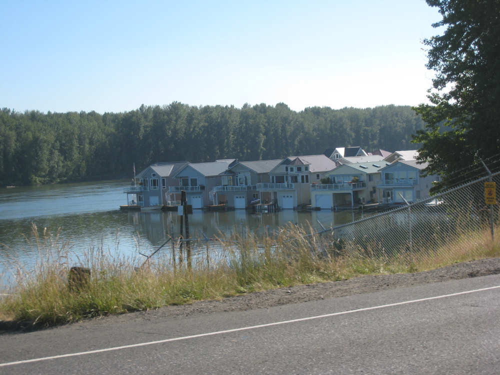
Fishing houses in the river |
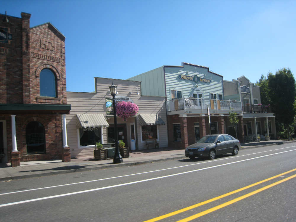
Troutdale, celebrating its historic past |
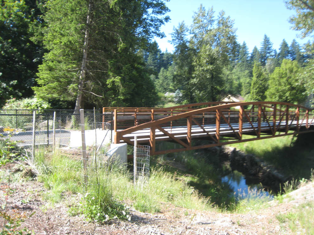
A small bridge over Sandy Creek... |
and the metal one on which we crossed it |
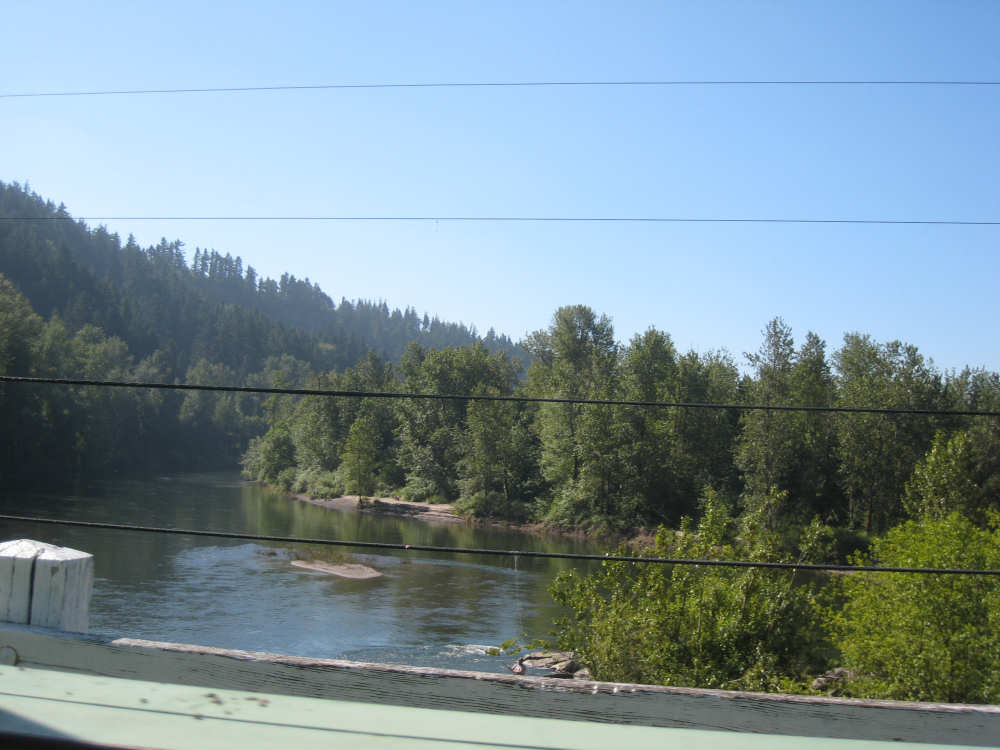
Sandy Creek |
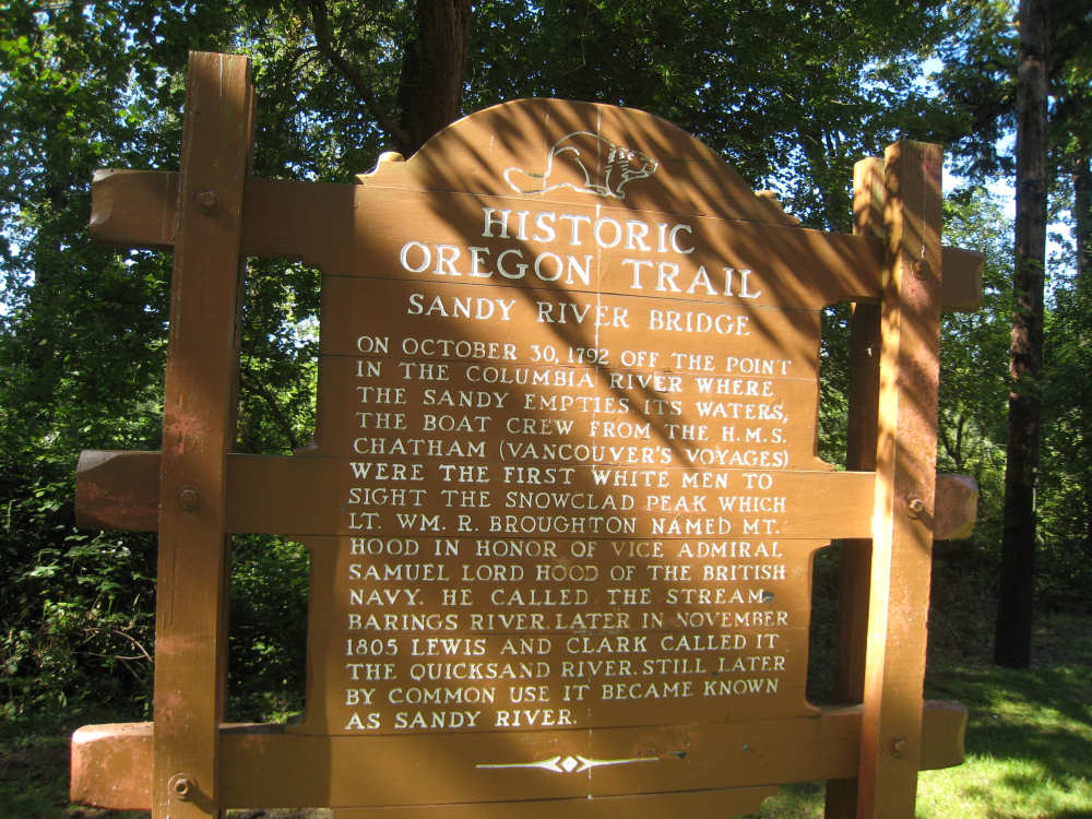
The historical marker about Sandy Creek |
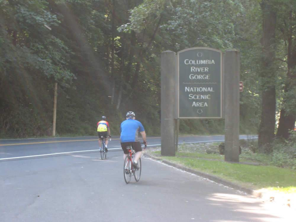
The two helpful bikers at the beginning of the Columbia River Gorge highway |
A pretty highway marker |
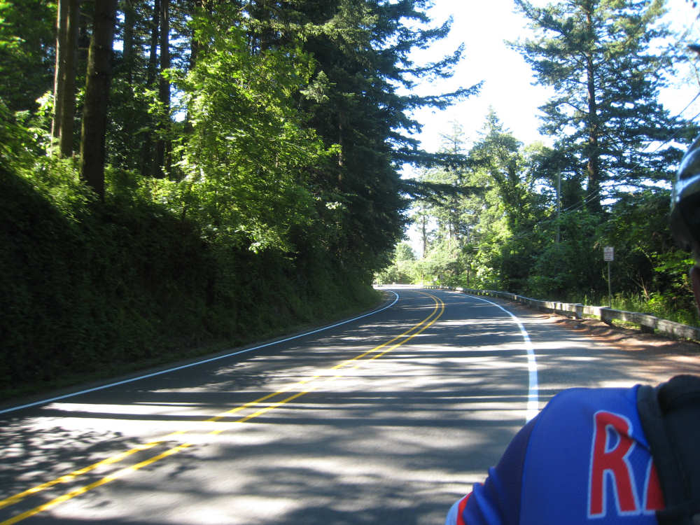
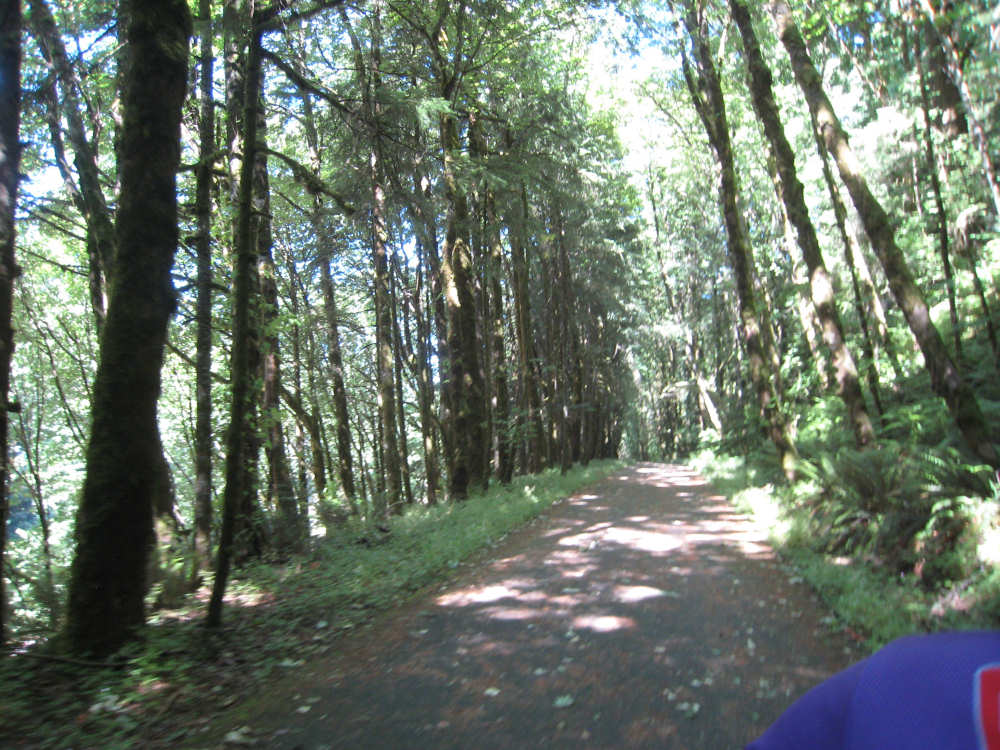
And a pretty road |
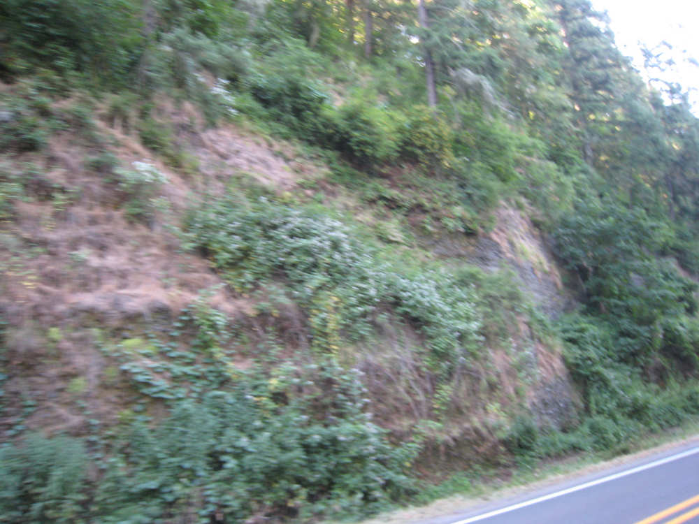
Rugged rocks and plants |
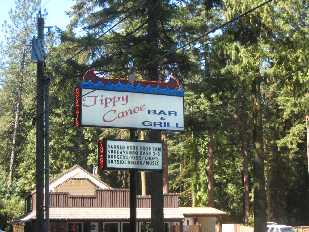
Some local culture - a restaurant along the road |
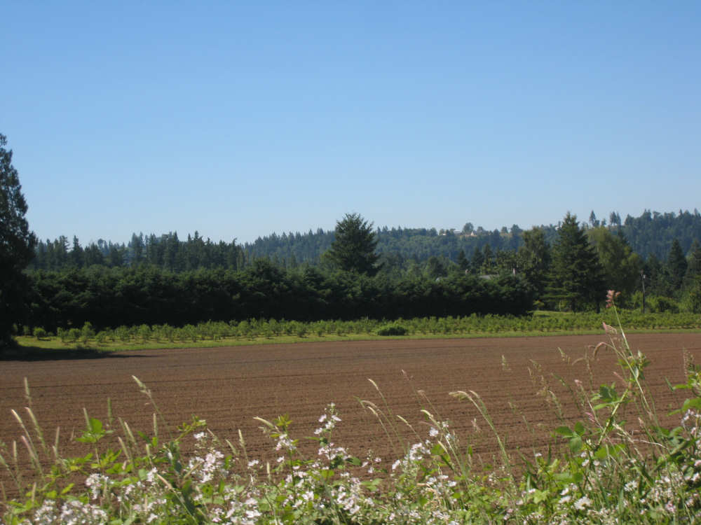
Houses and farm fields were along the road in this part |

Another view of Mount Hood |
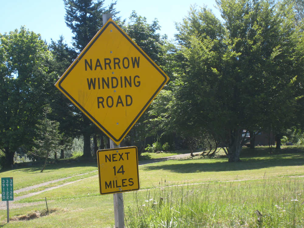
This was quite true |

A plaque designating the highway as a National Historic Landmark |
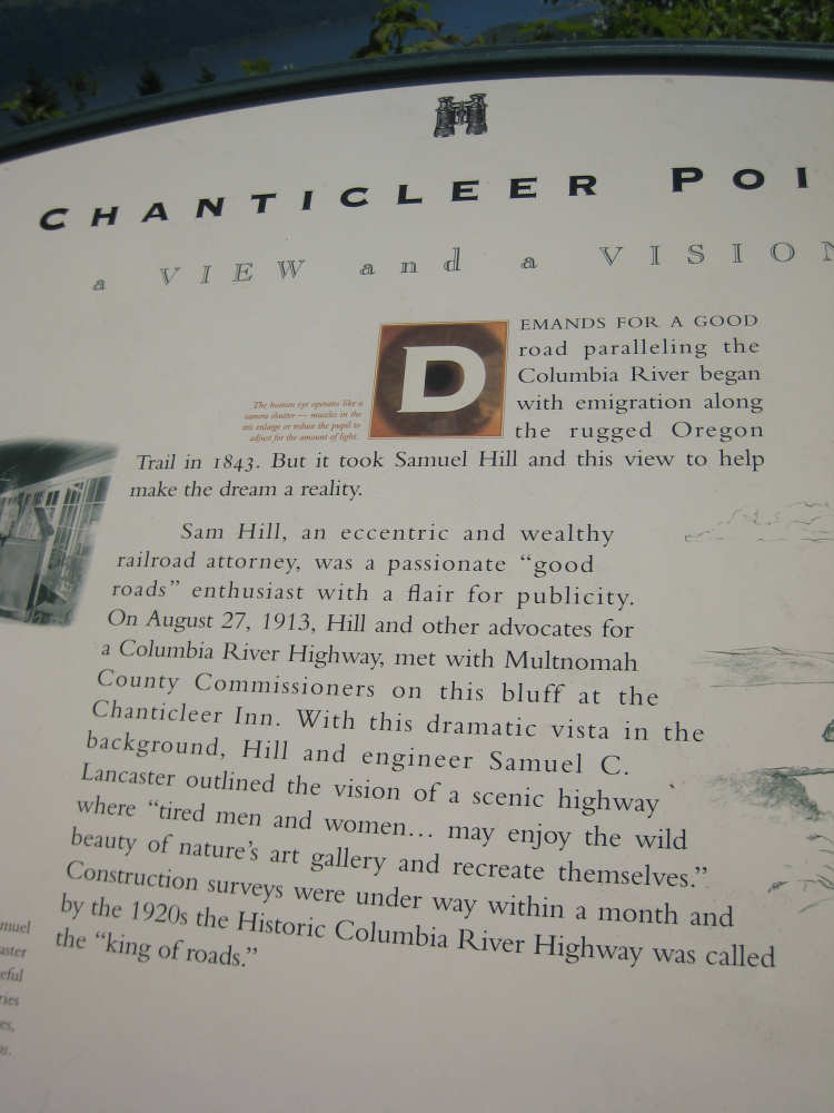
A plaque at a vista called Chanticleer Point |
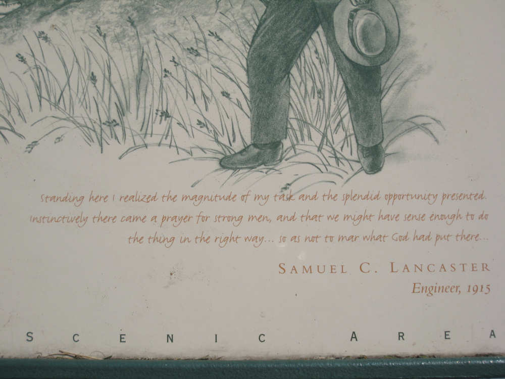
A quote from the chief engineer of the road, stating his vision for it |
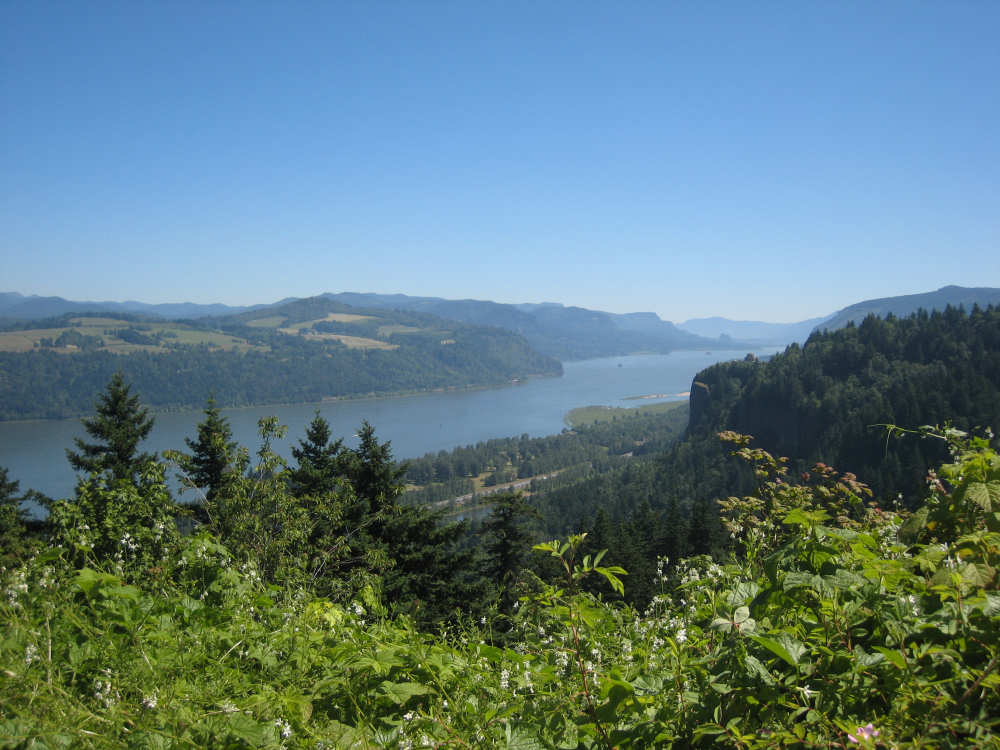
The view of the Columbia from Chanticleer Point |
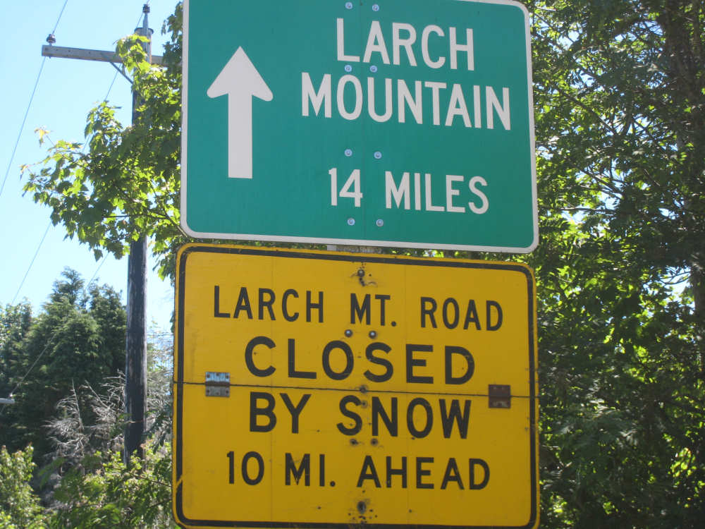
The road off to Larch Mountain was snow-bound |
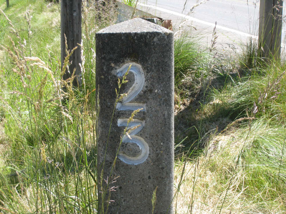
Original mile markers were all along the road |
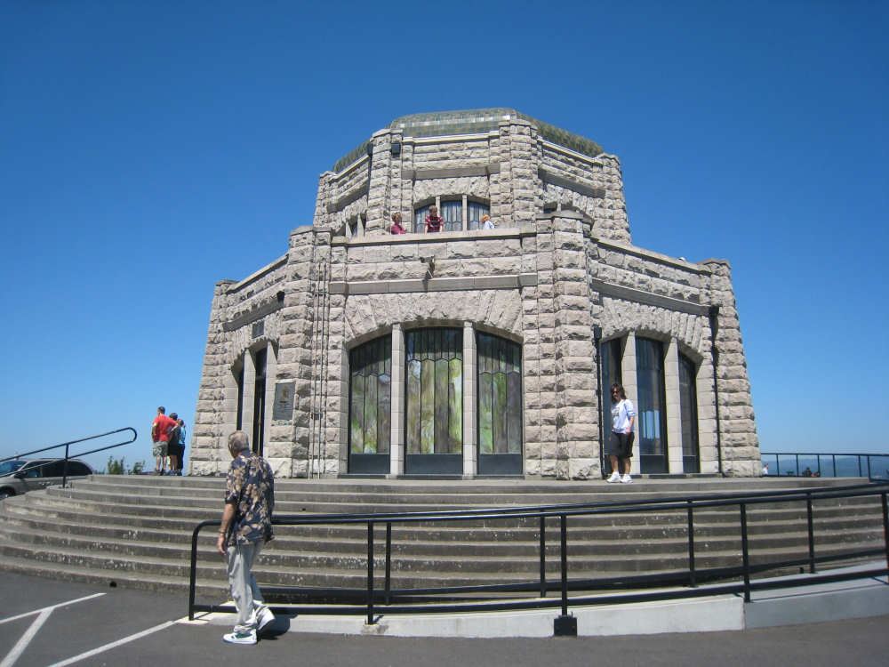
The beautiful Vista House |
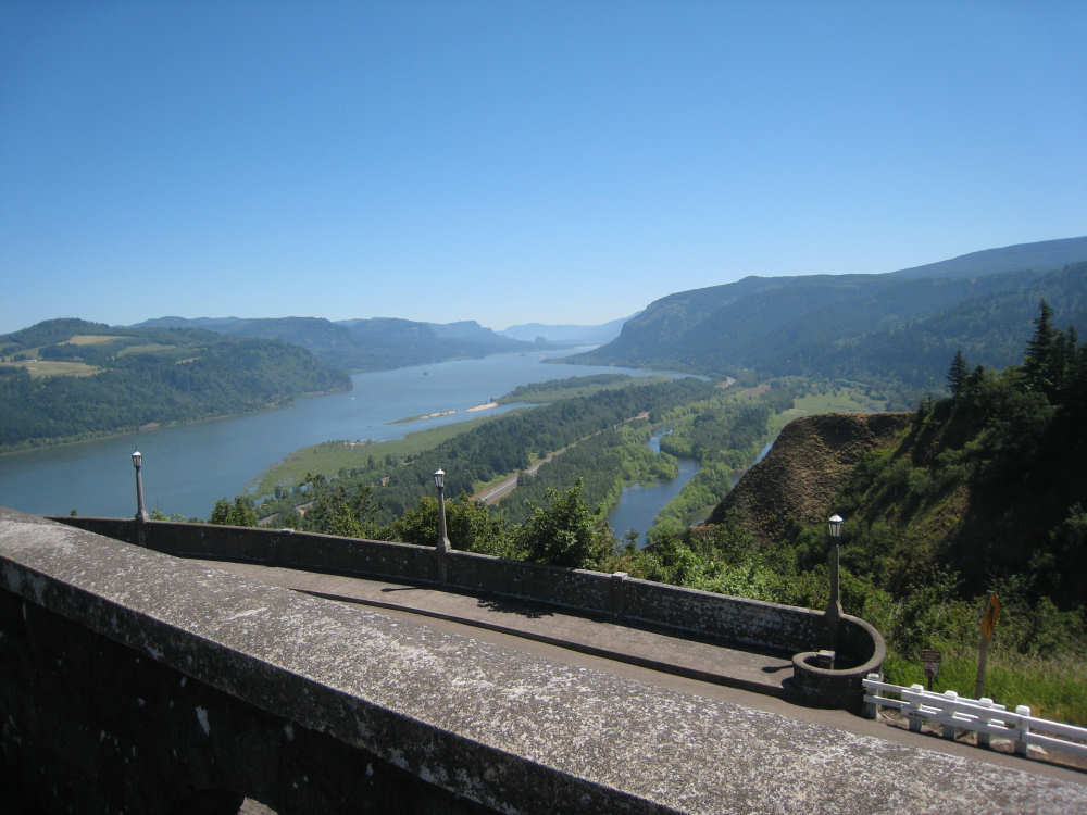
The view from Vista House |
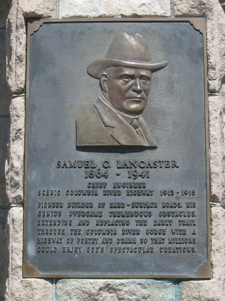
A plaque to Samuel Lancaster, chief engineer of the highway |
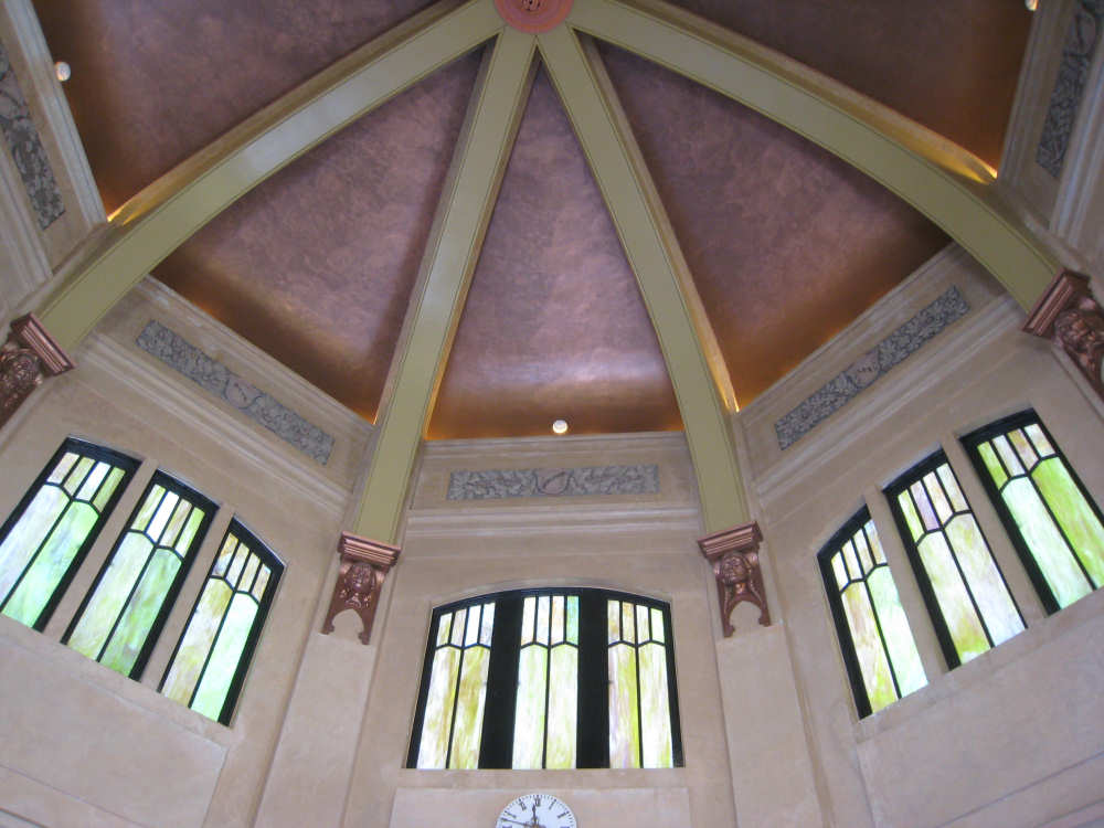
The ceiling inside Vista House |
The descending road is narrow and winding as promised |

One of the old stone bridges across a stream |
A plaque at Latourell Falls |
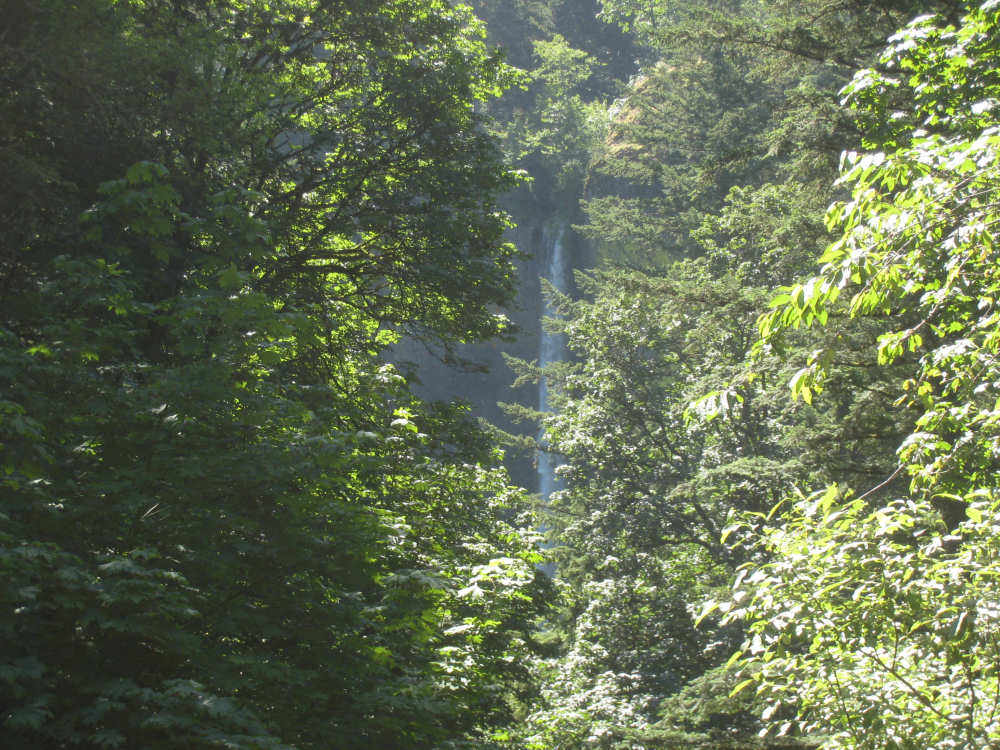
Latourell Falls through the trees |
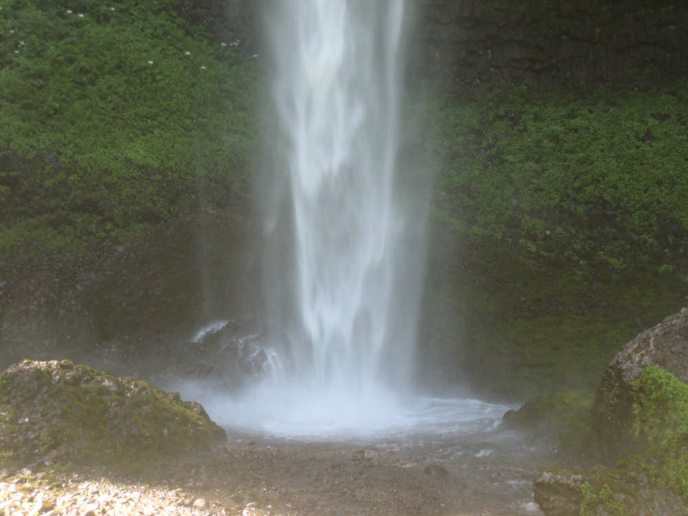
The base of the falls |
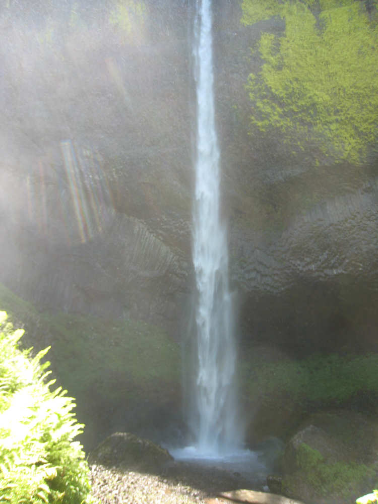
Almost the full length of the falls |
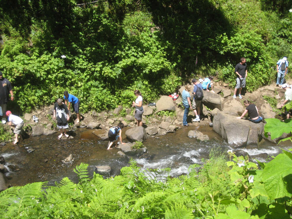
A group of kids enjoying the water at the base of the falls |
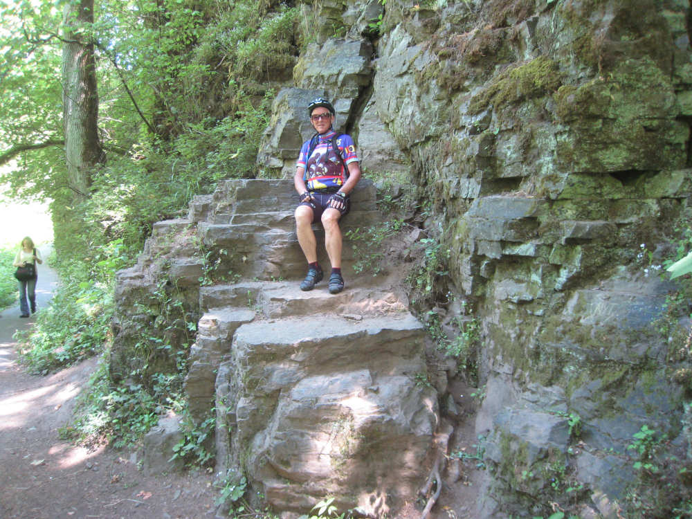
Pat couldn't resist climbing up these rocks |
An old stone guardrail |
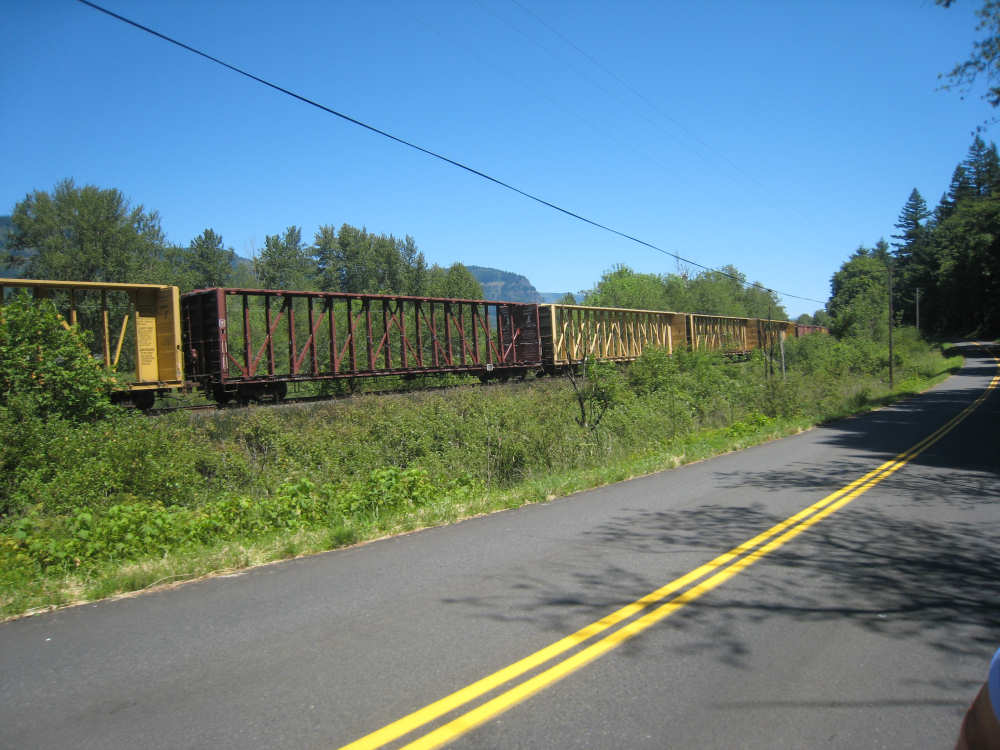
A train clatters by along the road |
One of the lovely Forestry Service signs |

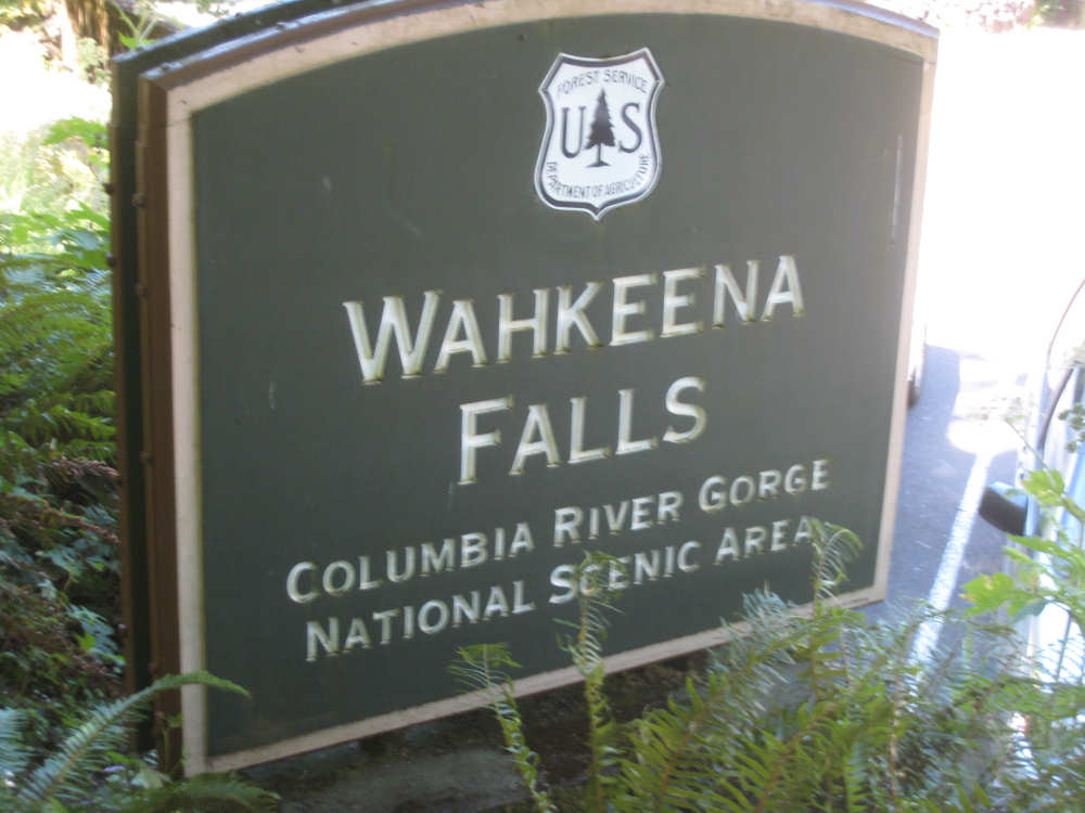
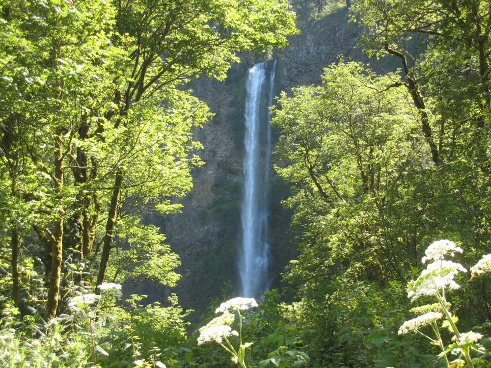
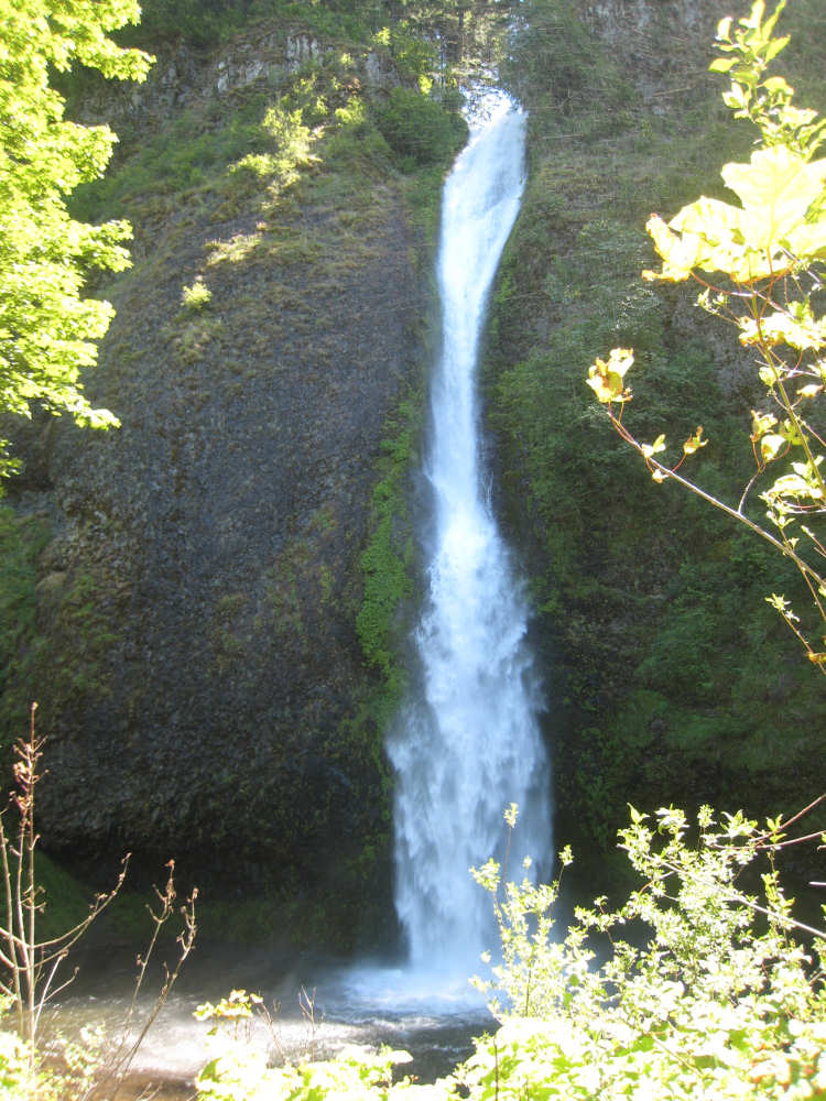
Wahkeena Falls |
Multnomah Falls, as seen from the restaurant there |
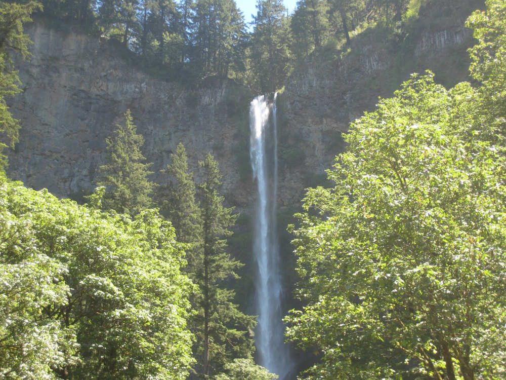
A full view of the top of the falls |
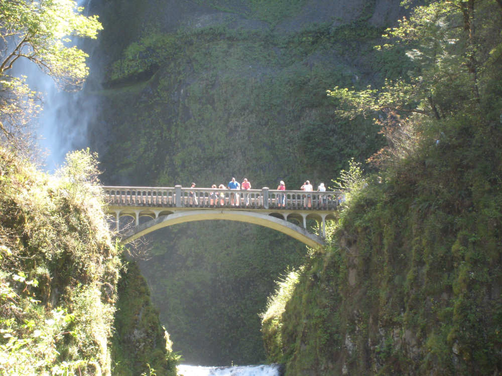
The bridge part way down the face of the falls |

The bottom part of the waterfall |
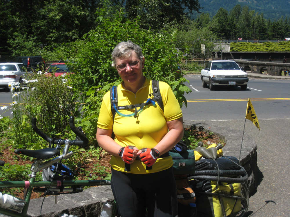
Pat catches Sari putting her gloves back on as we leave the falls |
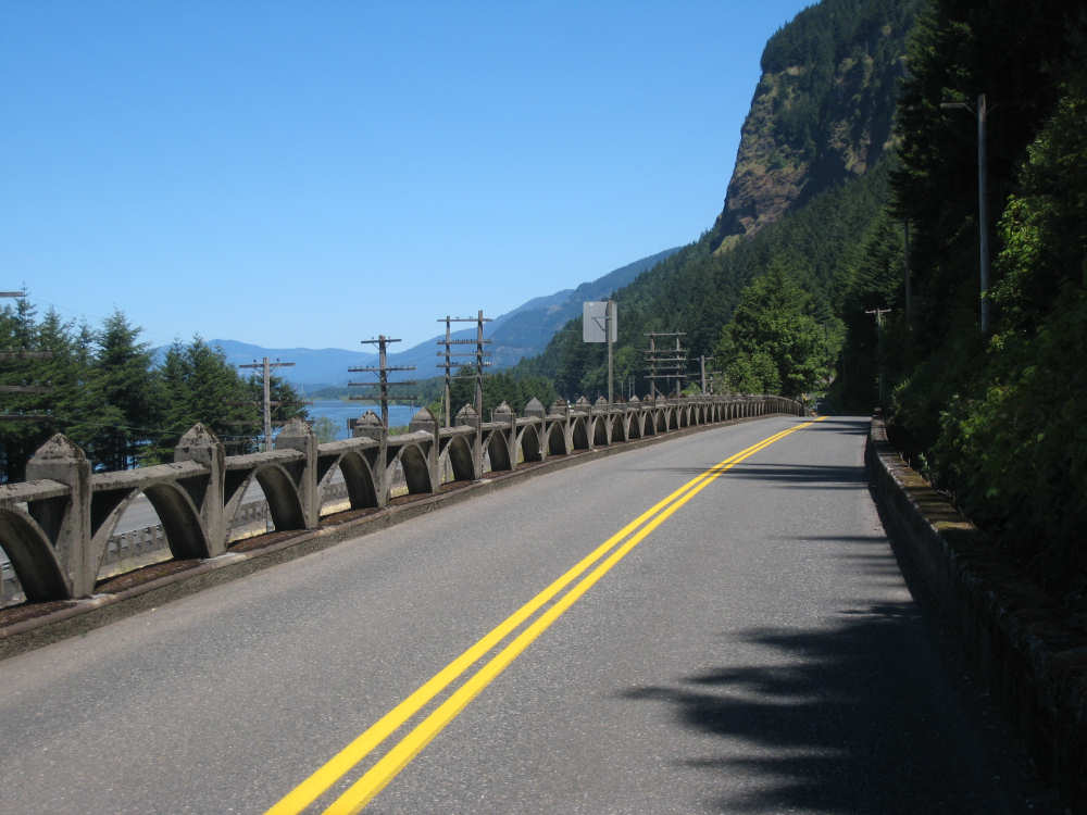
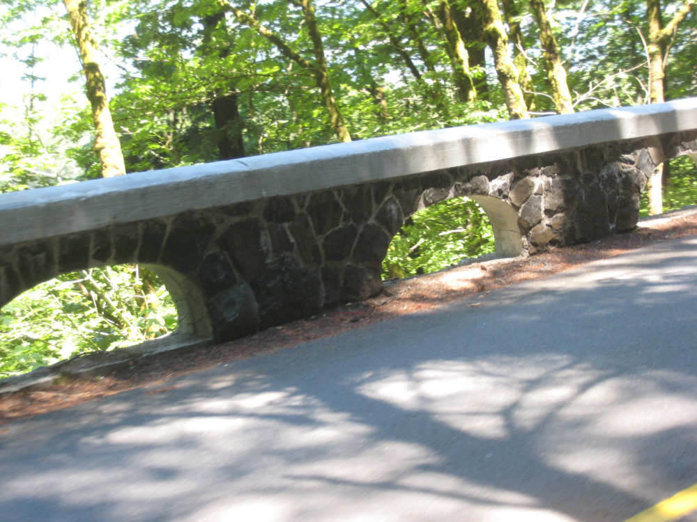
Near the end of the historic highway, a different style of stone guardrail |
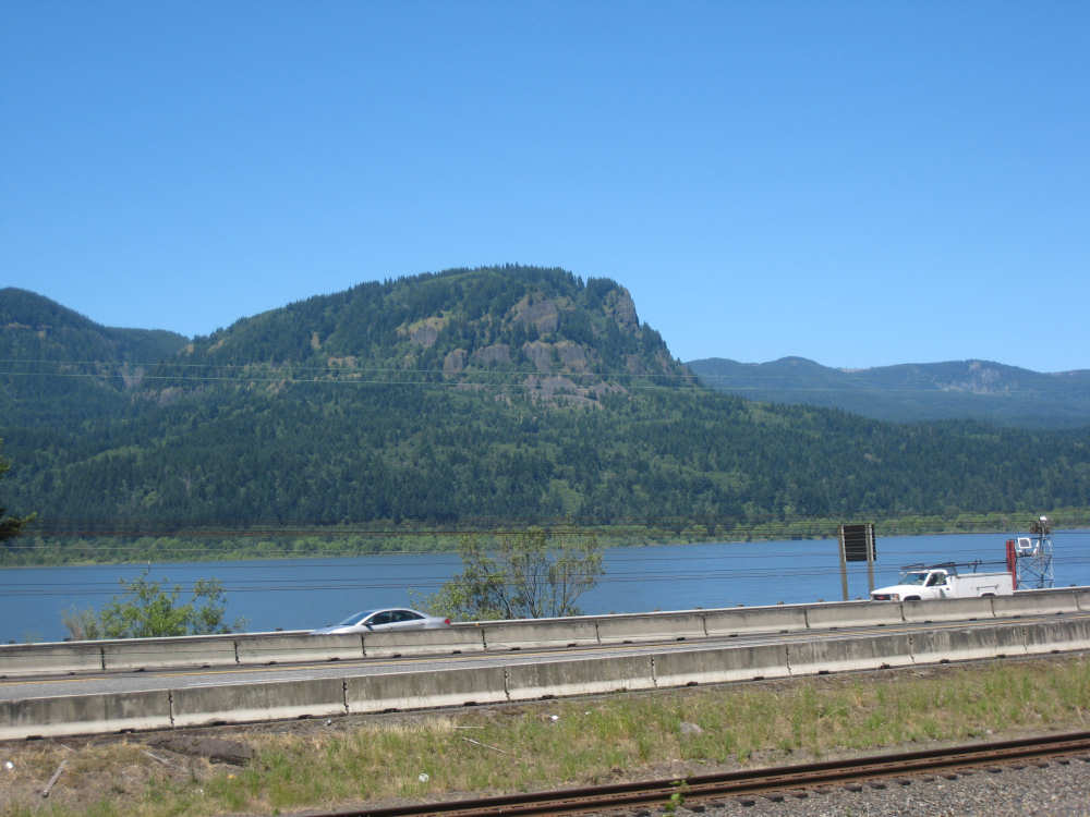
One of the impressive hills on the Washington side of the river |
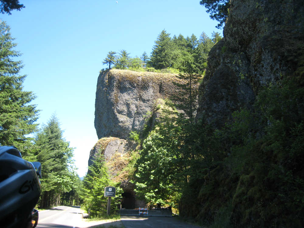
An old unused tunnel... |
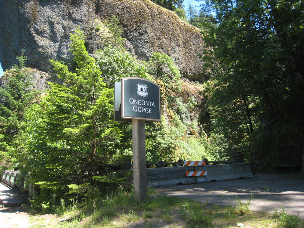
at Oneonta Gorge |
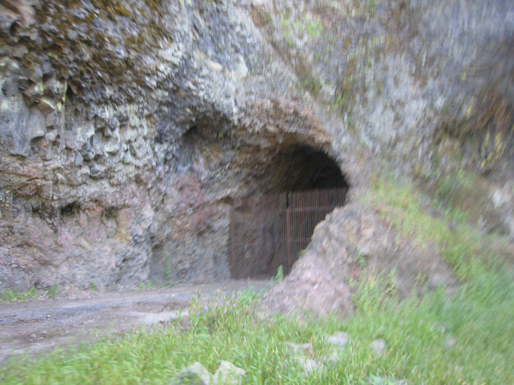
The old side of the tunnel |
Horsetail Falls |
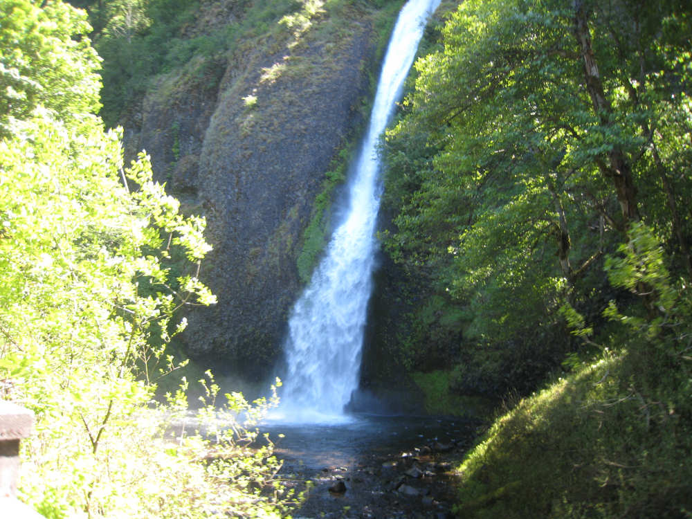
Another view |
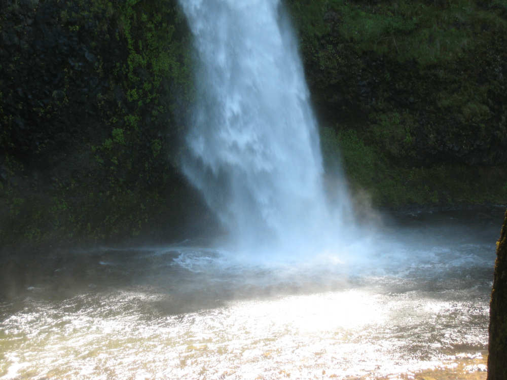
Water splashing at the base of the falls |
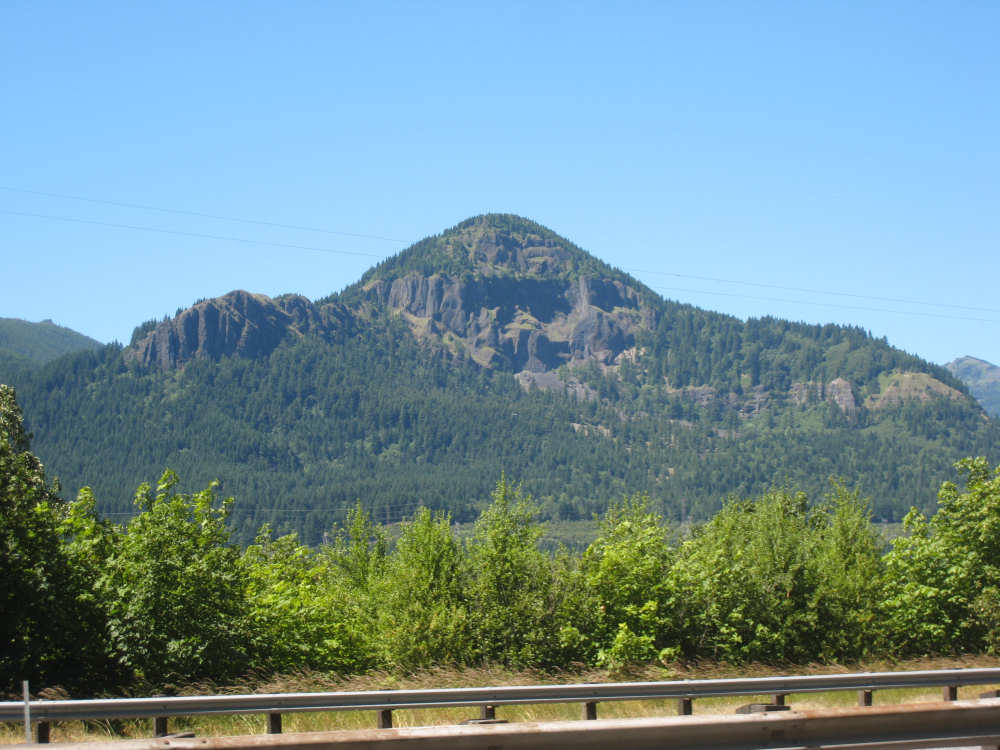
Another Washington mountain (we thought it looked a little like a gorilla) |
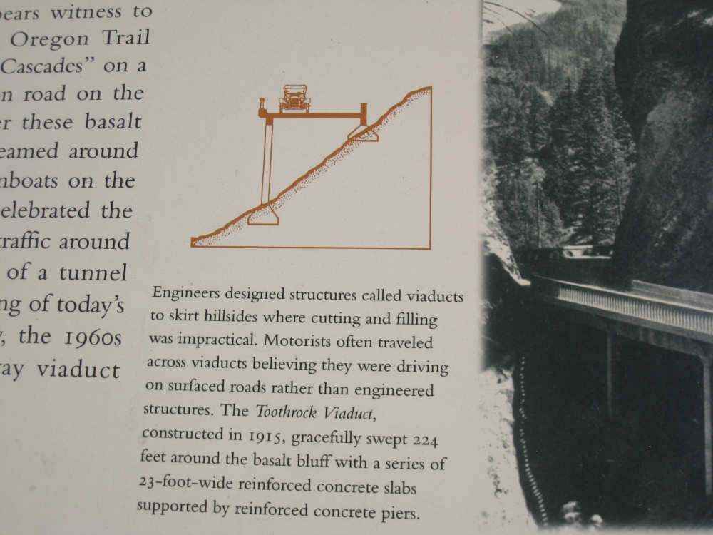
An interesting detail about the highway's construction |
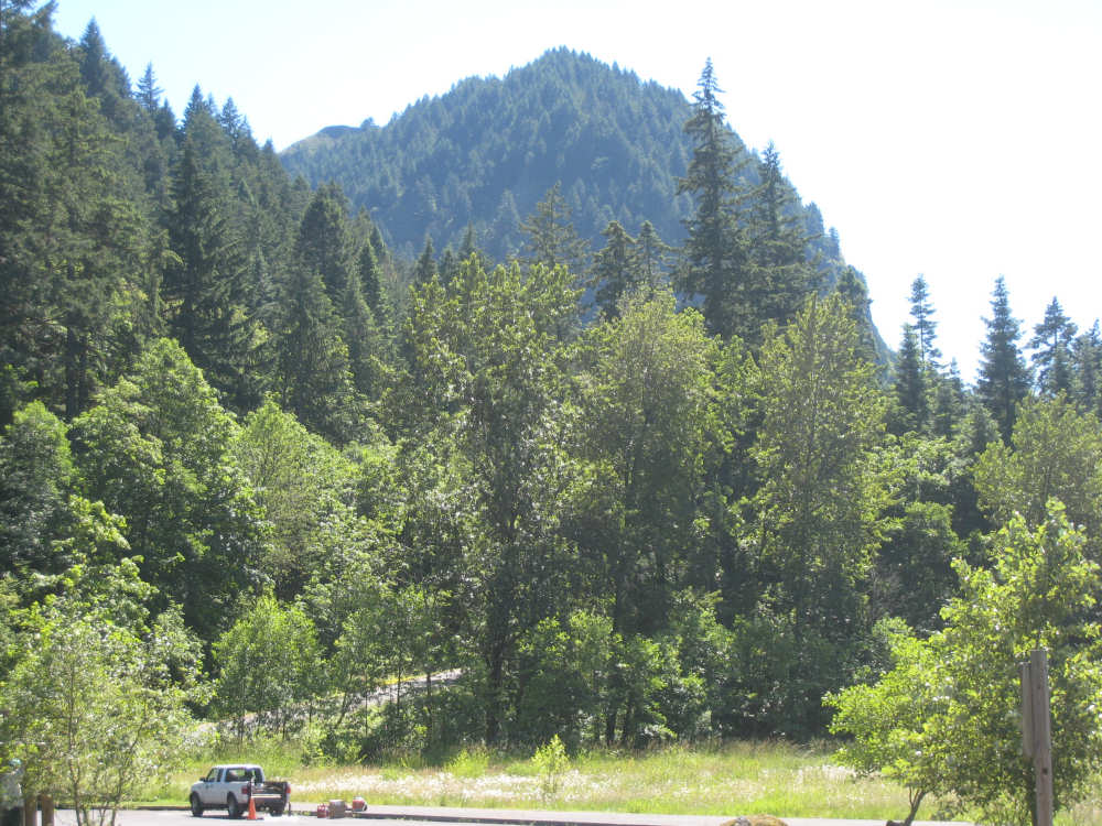
Impressive mountains and trees on the Oregon side |
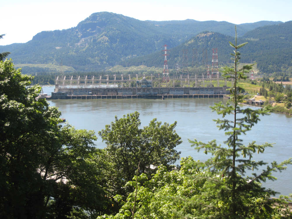
The Bonneville Dam and hydroelectric plant |
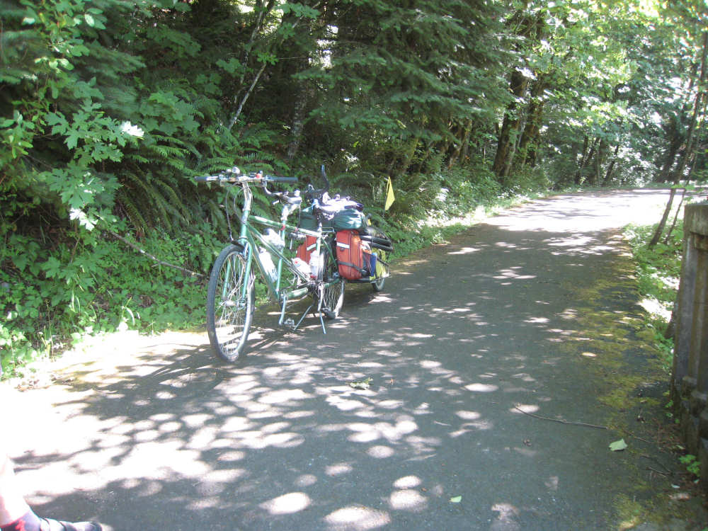
The bike awaits its jouney down... |
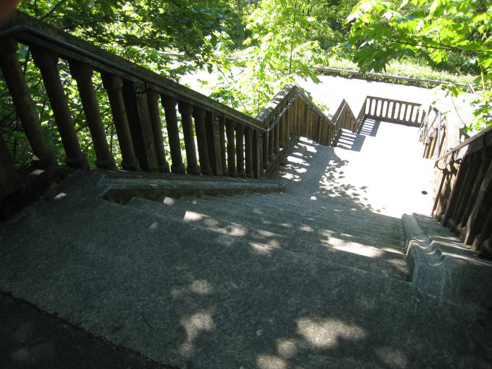
the infamous stairwell |
The second half of the stairwell |
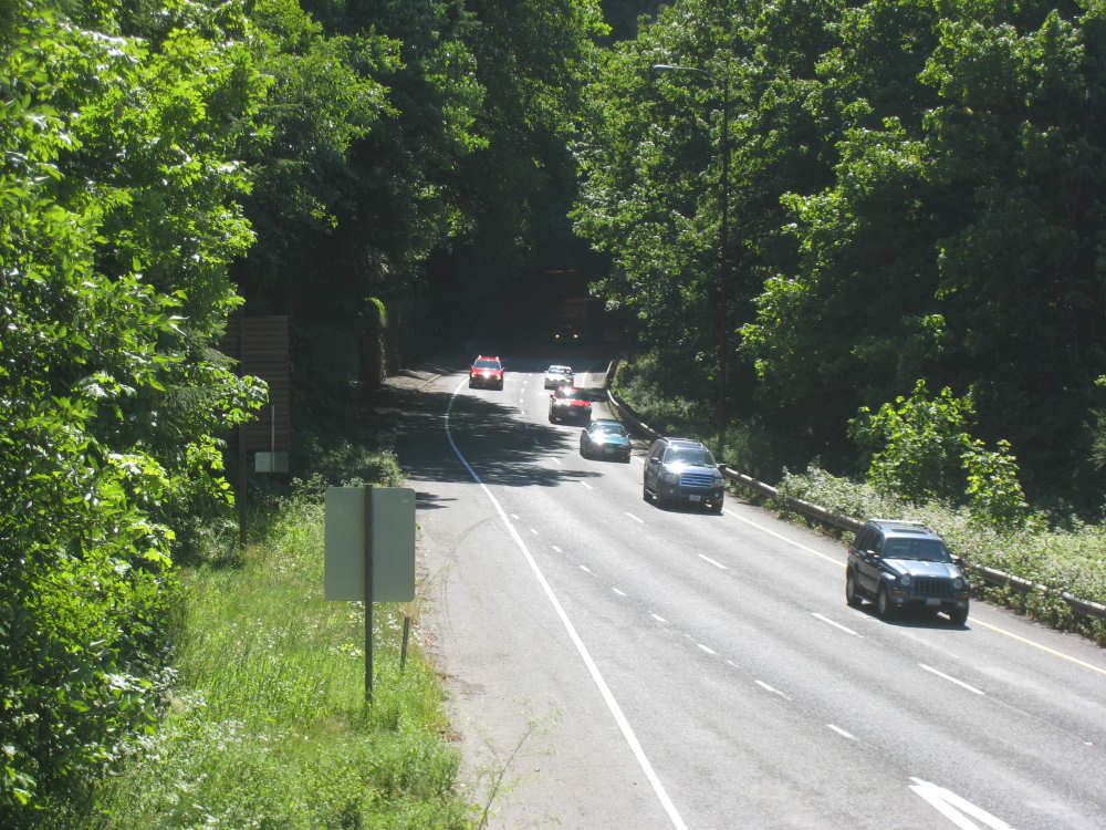
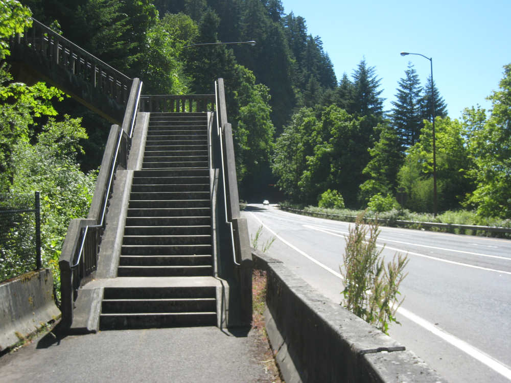
Cars coming out of the tunnel on I-84 that we wanted to avoid |
Pat trudging back up the stairs to get another load |
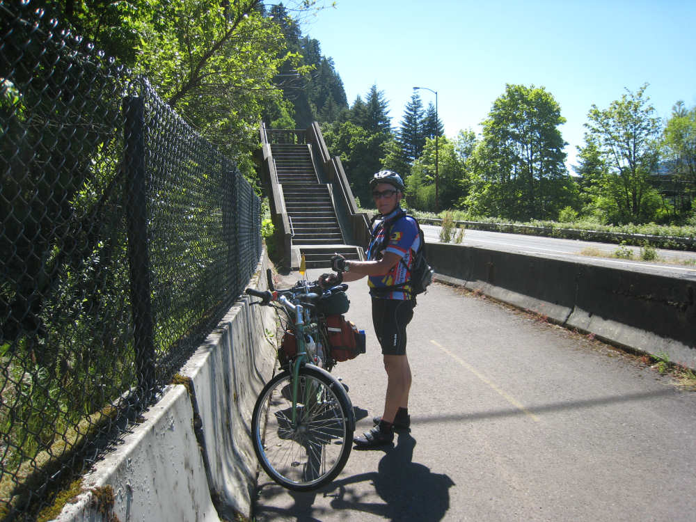
And finally all together again at the bottom |
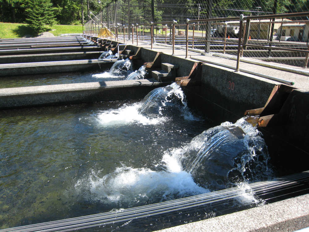
The lively fish hatchery along the trail, with lots of little fishes in the tanks |
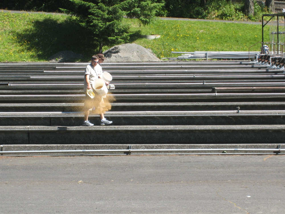
Feeding time for the fishes |
Near the end of the trail |