Saturday, June 28, 2008
Cascade Locks, OR to The Dalles, OR
42 miles (5323 total miles)
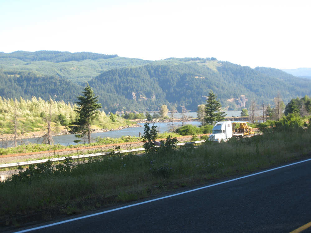
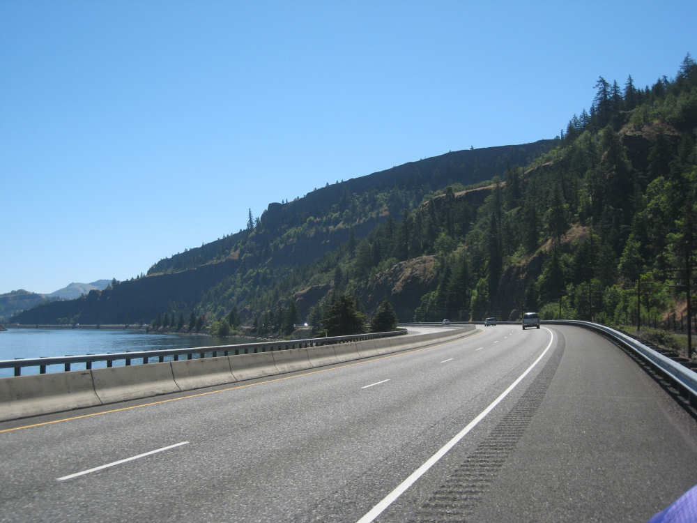
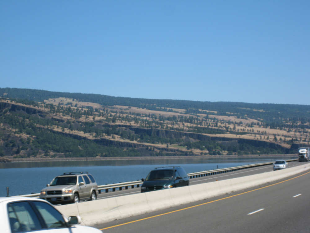
We skimped a bit on the scenicness today. After yesterday's heat and seeing a forecast of even higher temperatures for today (100+), we decided we ought to try to keep things short and simple. So we stayed on I-84 all day, getting off at Hood River for brunch and The Dalles for our motel. We had a short day planned anyway, and keeping it to the main highway saved us fussing around on twisty roads with rough surfaces and steeper climbs. The highway was easy, the climbs were more gradual and the road surface was excellent. We still got to watch the Columbia River all day, riding right next to it, and some great cliffs, changing terrains, and other waterways on both the Oregon and Washington sides of the river. It was still a beautiful day and we managed to get to our motel in The Dalles by 1:30, missing most of the worst heat. That definitely seemed worth it.
The cities are beginning to get fewer and farther between. Today, our first stop was Hood River, about 20 miles from our starting point. We decided to have a snack there and found a neat little place called Egg Harbor. They had a special on Apple Crepes with fresh strawberries and bananas, which sounded like a great way to get our fruit for the day. It was delicious as well and the waitress was really pleasant, bringing Pat a little dish of chocolate syrup after teasing him about practically licking the chocolate off his plate. The real surprise came when she told us the owner was paying for our meal because he was so impressed with our journey! We thought that was awfully nice. They also have a terrific view of Mount Hood right outside their front door, which we saw as we were leaving, and a cute, touristy kind of town. We also crossed the Hood River as we made our way back to I-84. We went by a couple of other small towns, Mosier and Rowena, after that but didn't stop at either one. We did stop at a little rest area along the road, used the bathroom and soaked our heads to keep cool. The Dalles is a large town, about 12,000 population, and there was a lot of industry along the river there. They have a Columbia Gorge Discovery Center and something called Rock Fort, but we didn't go to either one. We were happy just to find a cool room with restaurants within walking distance nearby.
We had been told that the terrain changes pretty drastically after The Dalles, becoming more desert. We could already see signs of it, especially on the Washington side where the mountains were becoming browner as we neared The Dalles. Tomorrow the towns will be even sparser - our first town will be Biggs, again about 20 miles into the day, at which point we cross over into Washington where we'll spend the rest of the day, stopping in the next town, West Roosevelt, about 35 miles after Biggs. West Roosevelt sounds like it's the middle of nowhere, there are no accomodations that we could find, but Adventure Cycling says we can camp in the town park, although there's no water. Sounds like Langtry, TX, and also like Langtry, there's a chance of thunderstorms predicted. So it may be a pretty interesting day. We may not have internet access, so it may be a day or two before we get the web page up. At any rate, we did 42 miles today in a little under 4-1/4 bike hours.
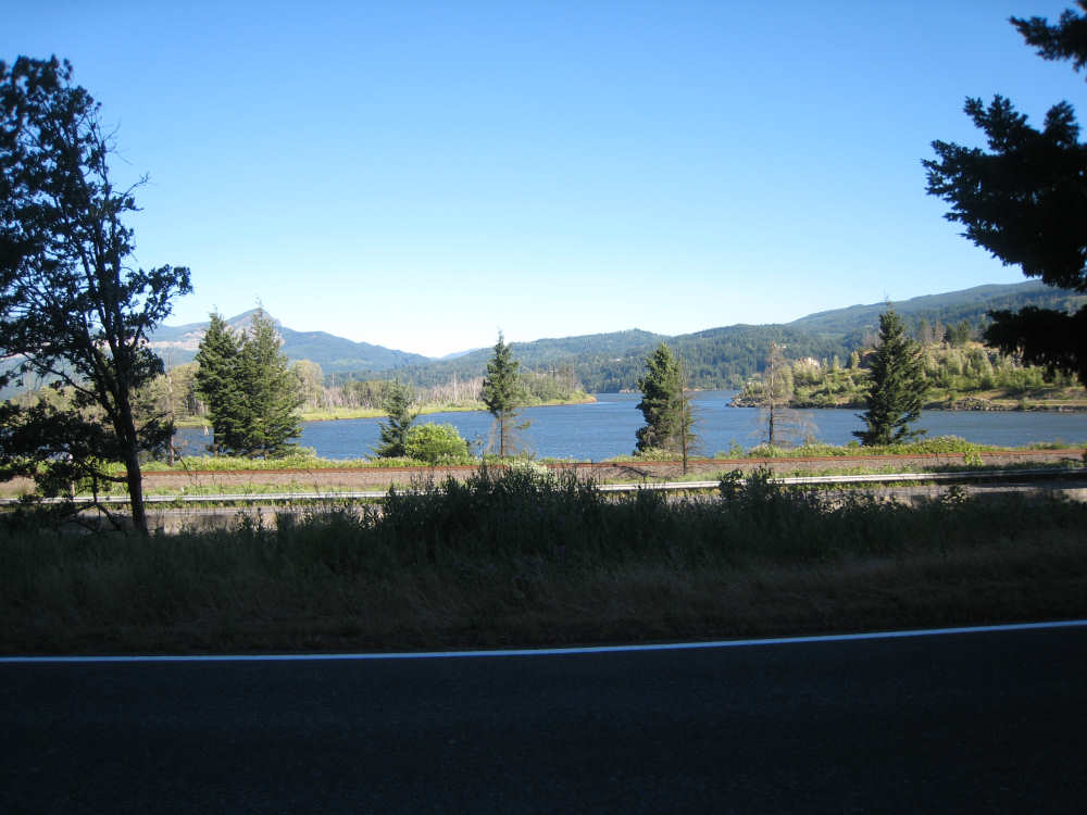
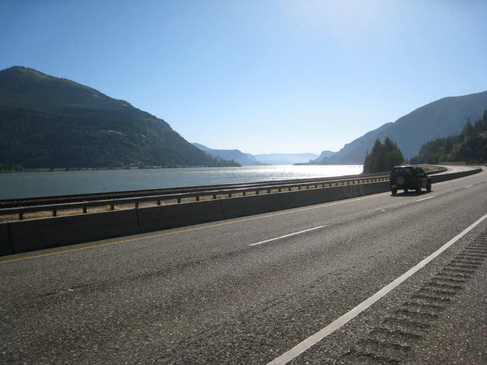
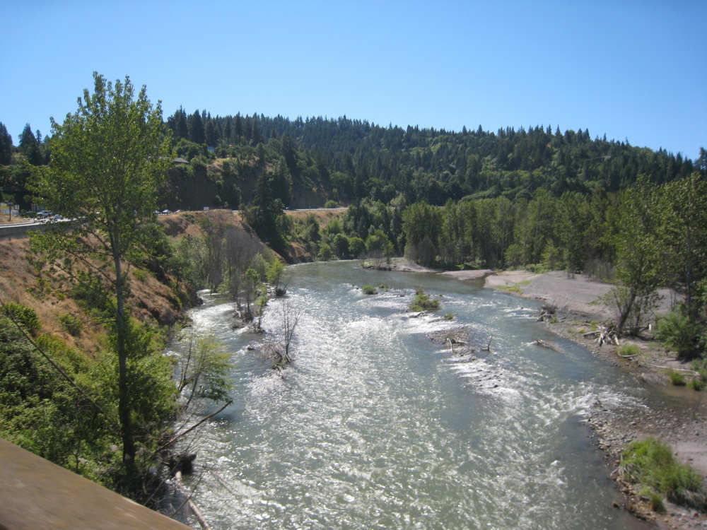
The Columbia River at the start of the day near Cascade Locks |
One channel of the river seems dammed off by a roadway to an island; |
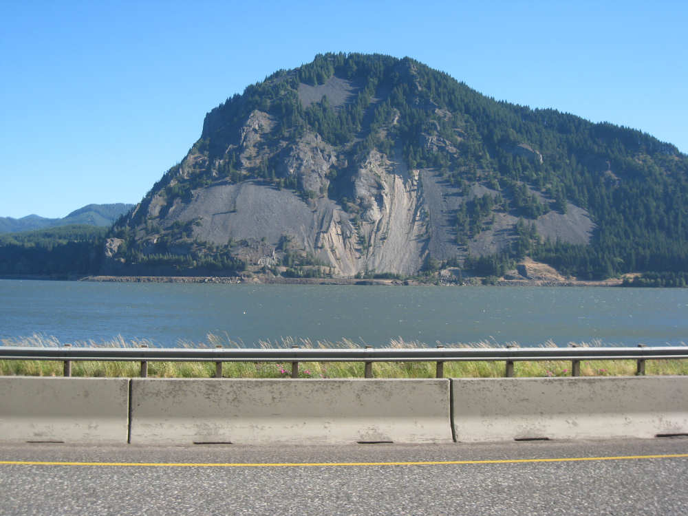
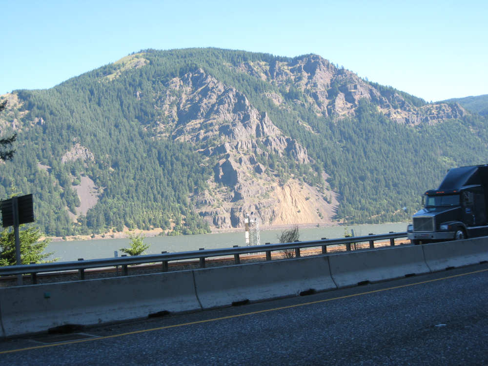
A Washington mountain seems to be sliding into the road along the river there |
The Oregon side is very green |
A view of the river upstream, between the two states |
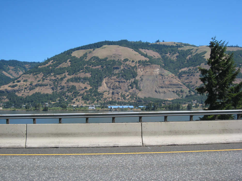
Another massive mountain in Washington |
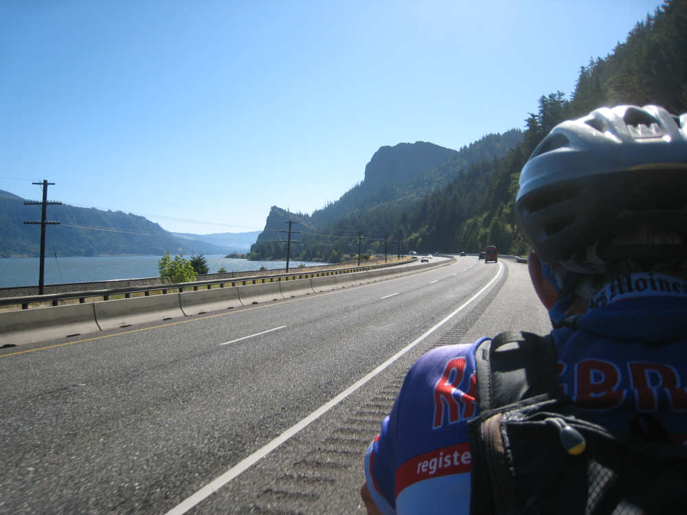
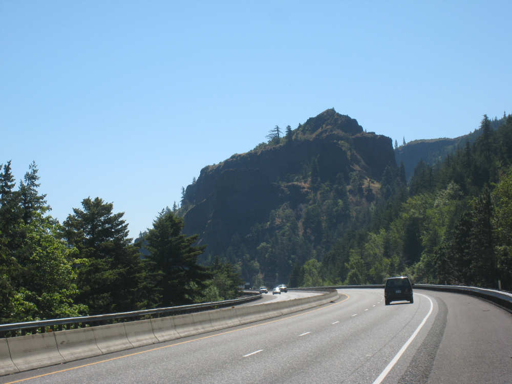
Some prominent peaks ahead of us |

Pat really wanted to climb that peak over the head, but I held him back |
A Washington mountain with boulders looking about to slide into the water |

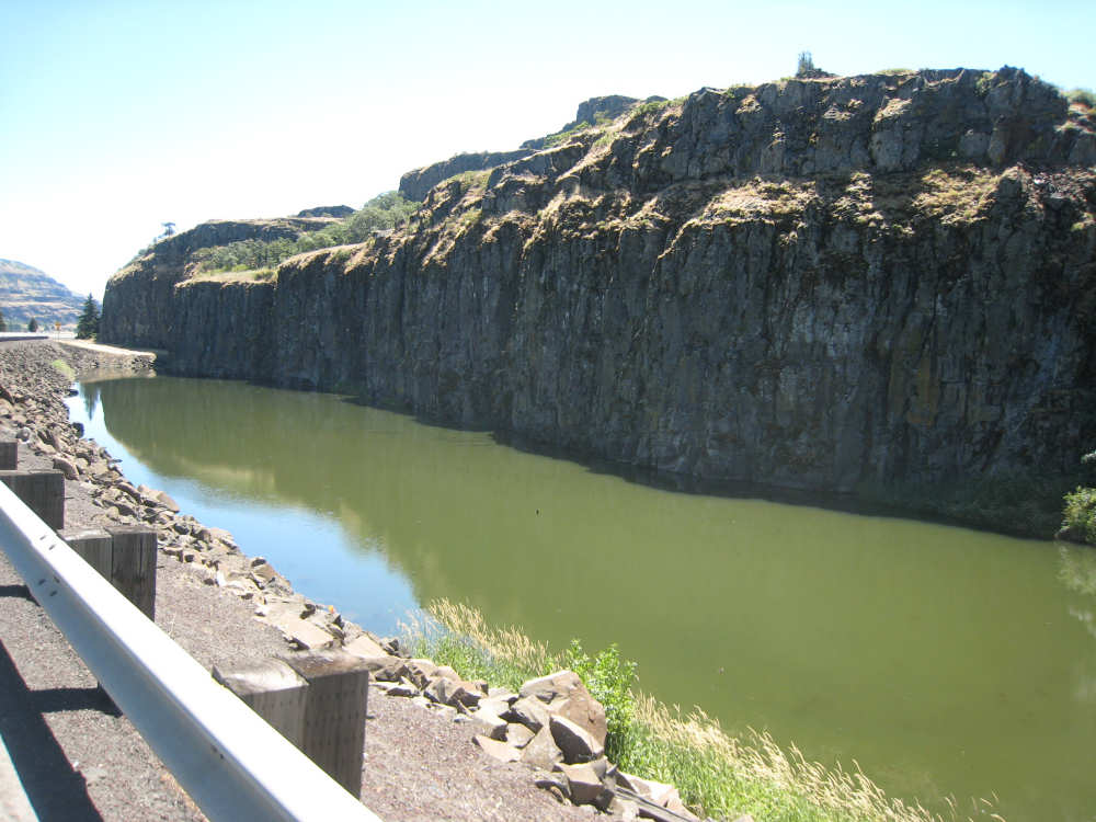
A rugged rock face on the Oregon side |

This area had many water flows down the face of the rocks |
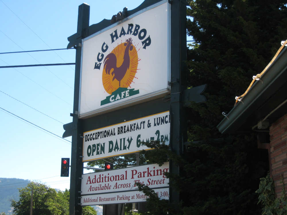
Our friendly brunch place in Hood River (with the terrible pun) |
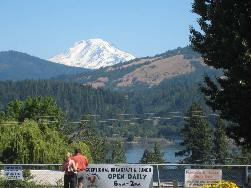
The view of Mount Hood, still snowy, across from the restaurant |
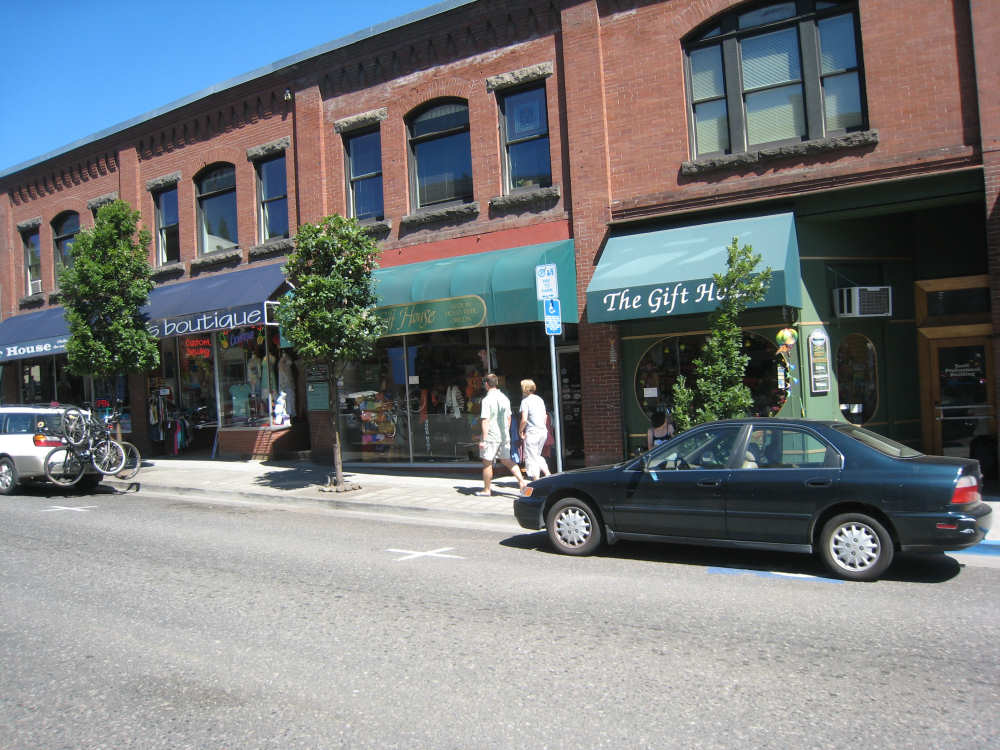
Shops along the street in Hood River |
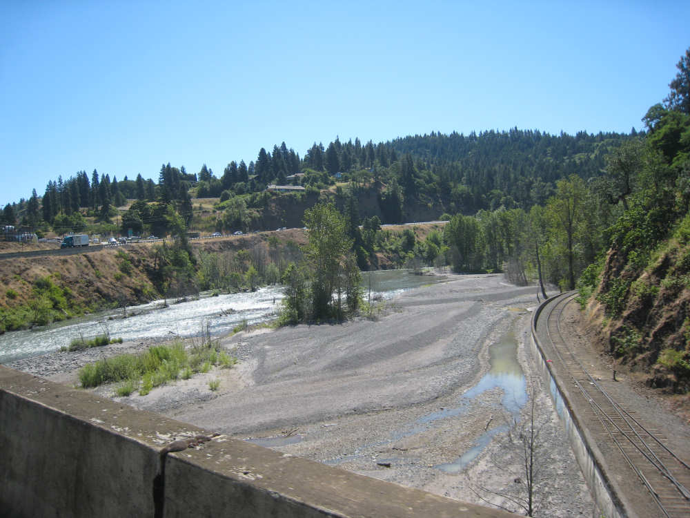
Crossing the partly dry Hood River, train track alongside it |
A view of the fuller part of the Hood River |

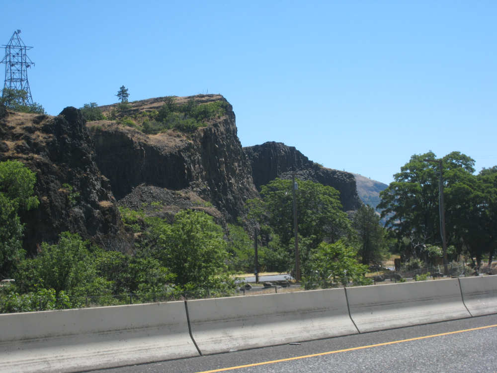
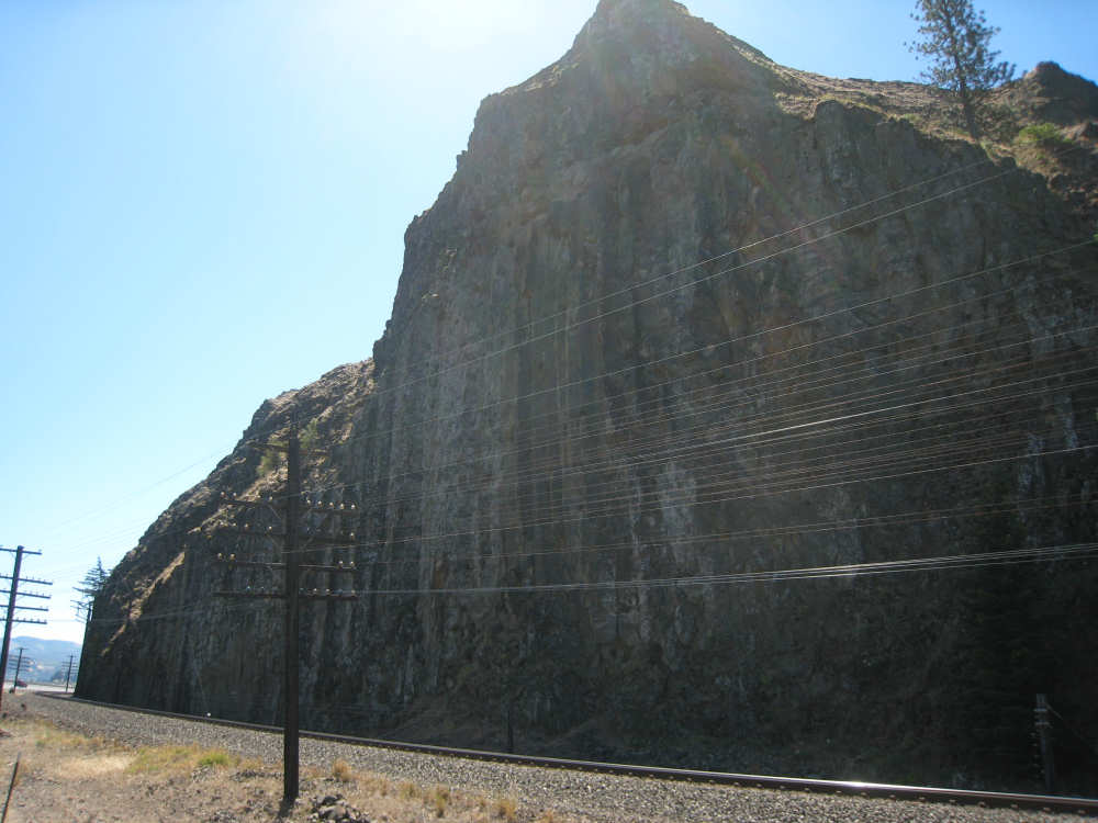
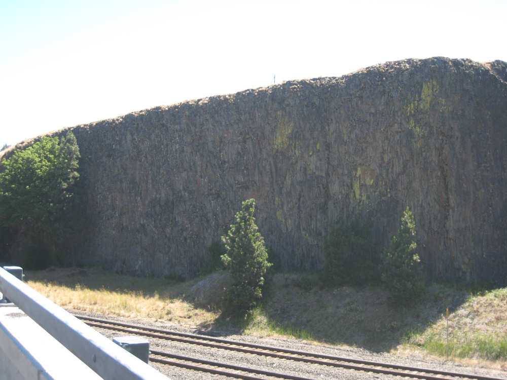
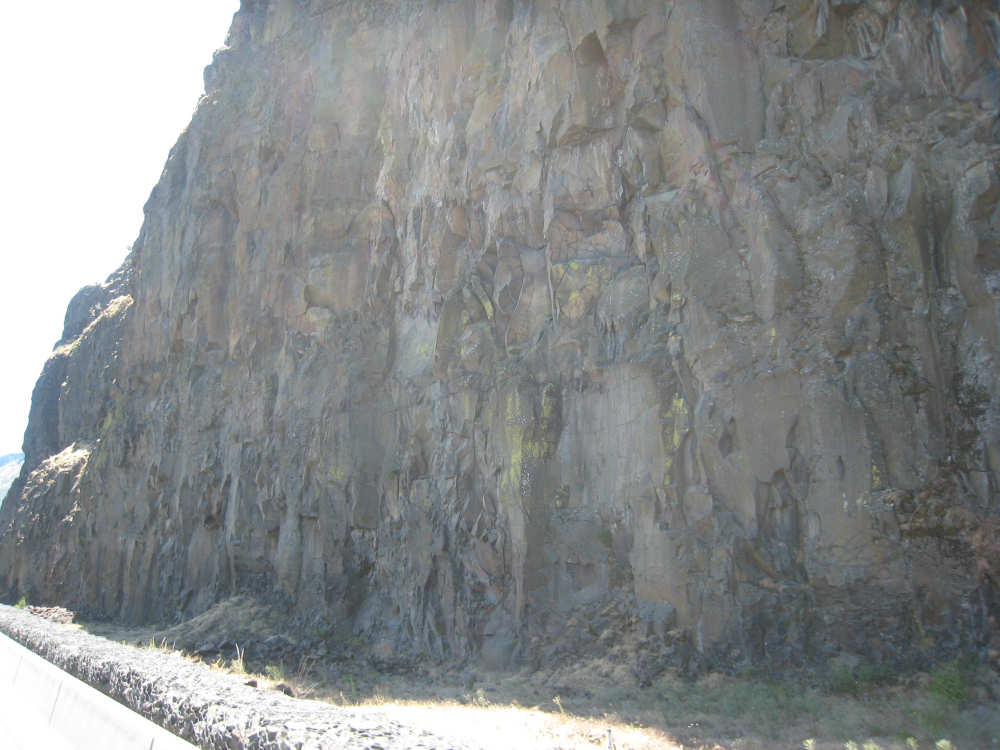
Massive rock faces on the Oregon side |
|
|
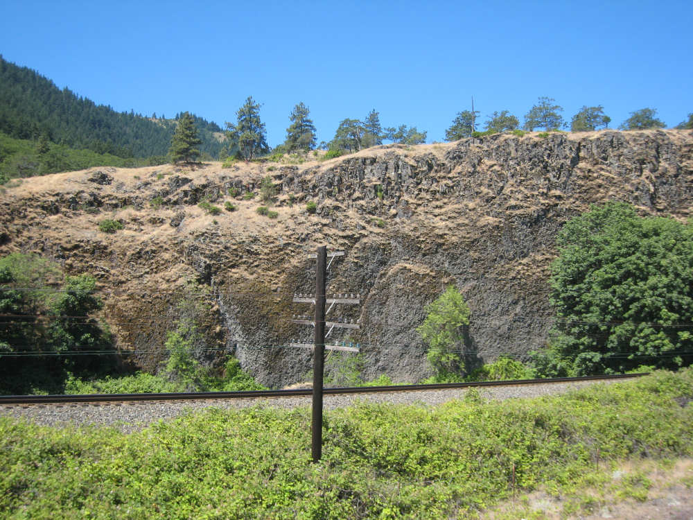
A close-up of the scraped-looking rock face |
Another huge rock, note the size of the cars below; |

Another impressive peak |
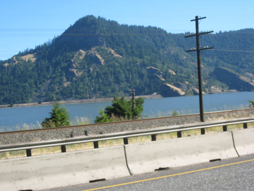
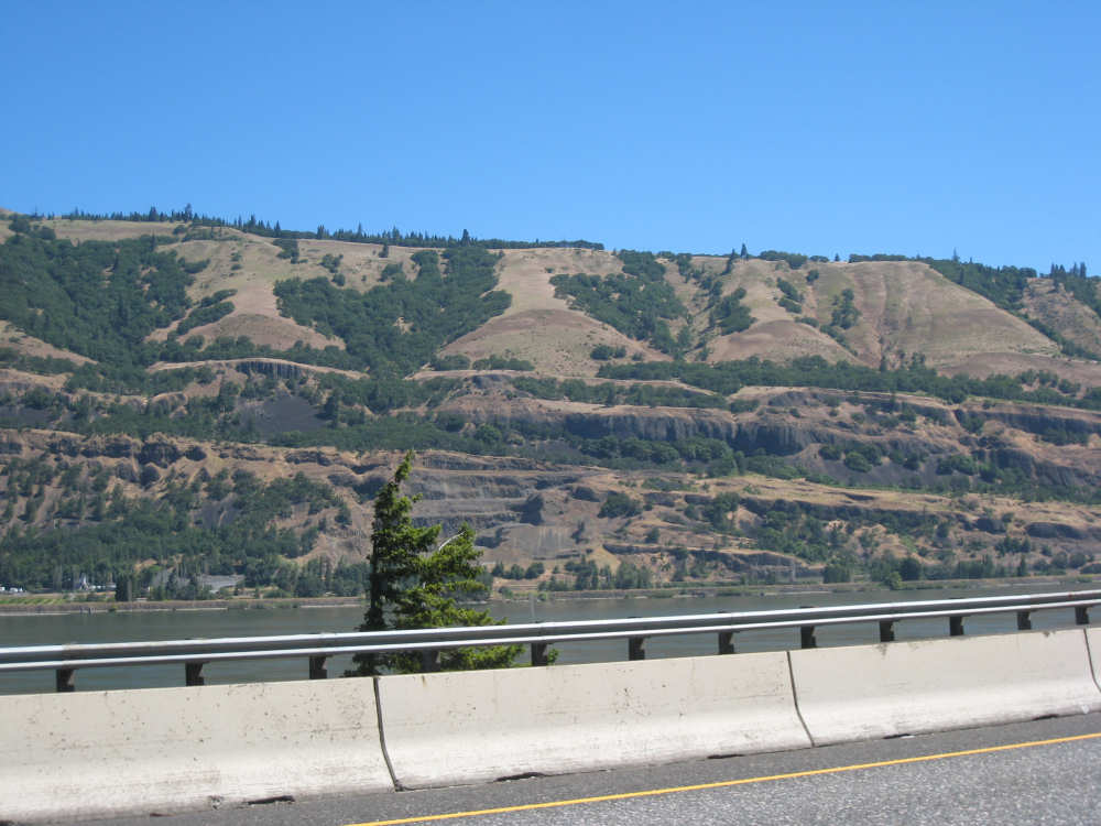
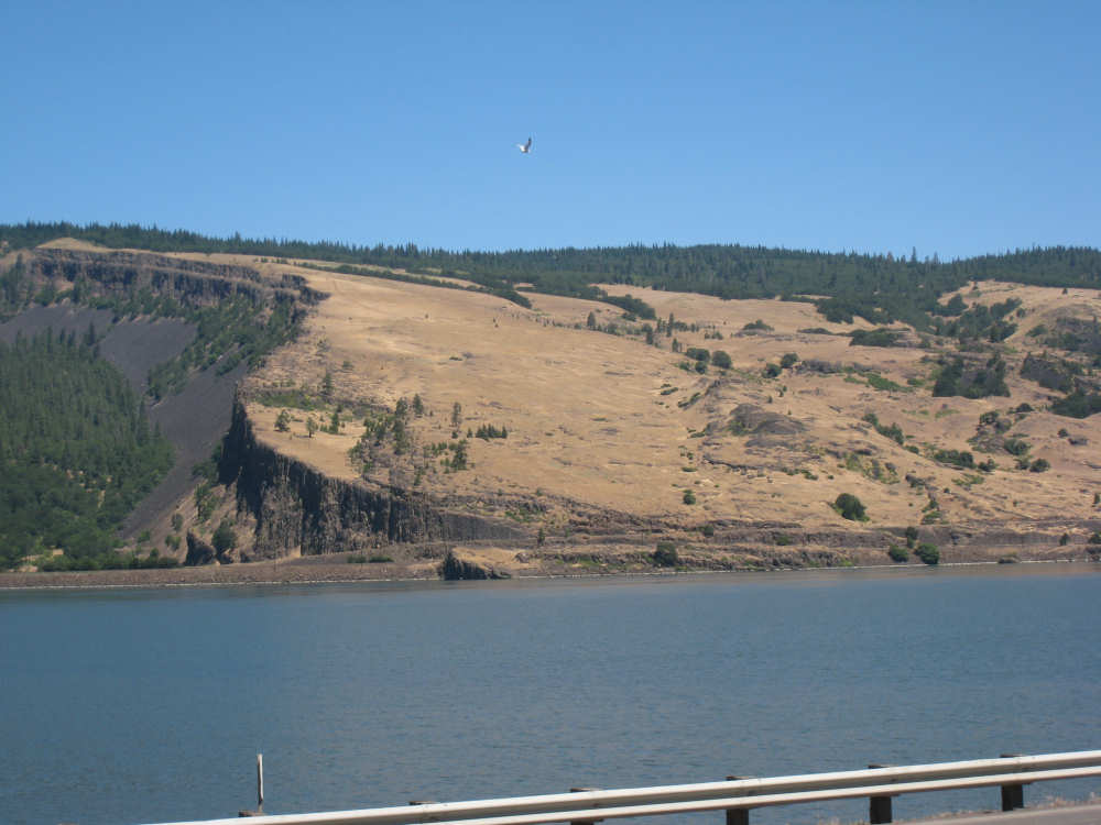
The mountains on the Washington side begin to look a little browner |
|
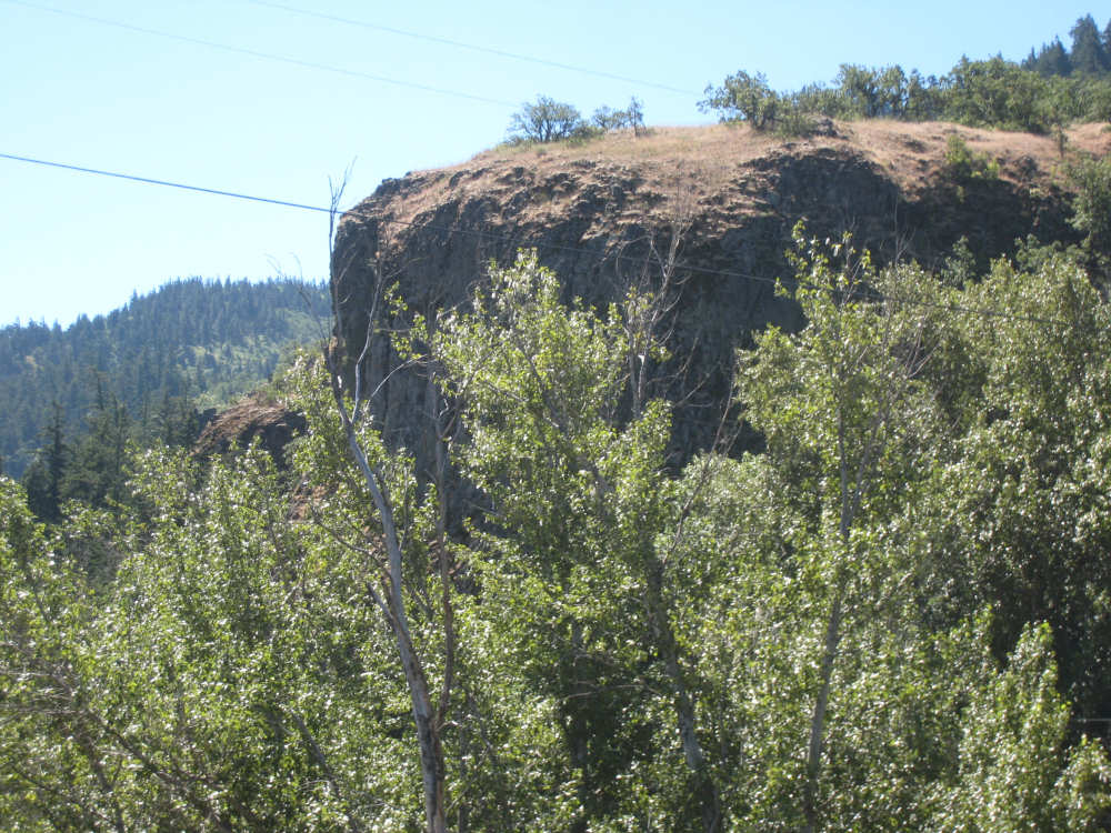
This mountain seemed to be primarily basalt |
A different kind of rock surface |

Trees seem to be thinning out on the Oregon side, too |
Mountains tailing down to the river |
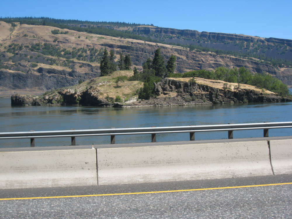
A little rock island in the river |

Houses on the edge of the mountain in Mosier |
A dramatic terrain change on the Washinton side |
The land seemed to be terraced with flat plains of rock layered above each other |
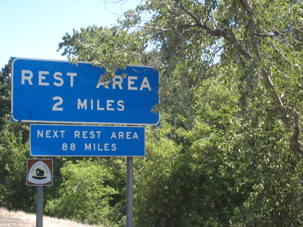
Rest areas are pretty sparse here, too! |
Another 'wall' of basalt |

Fruit trees at varying stages of growth |

The Oregon side begins to get a little browner too |
And another basalt rock face; little swallows made their nests in the crevices |
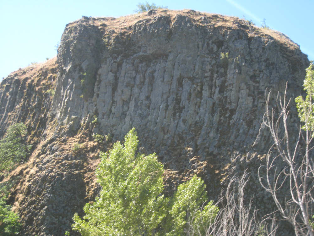
A close-up of the basalt rock |
Another impressive mountain |

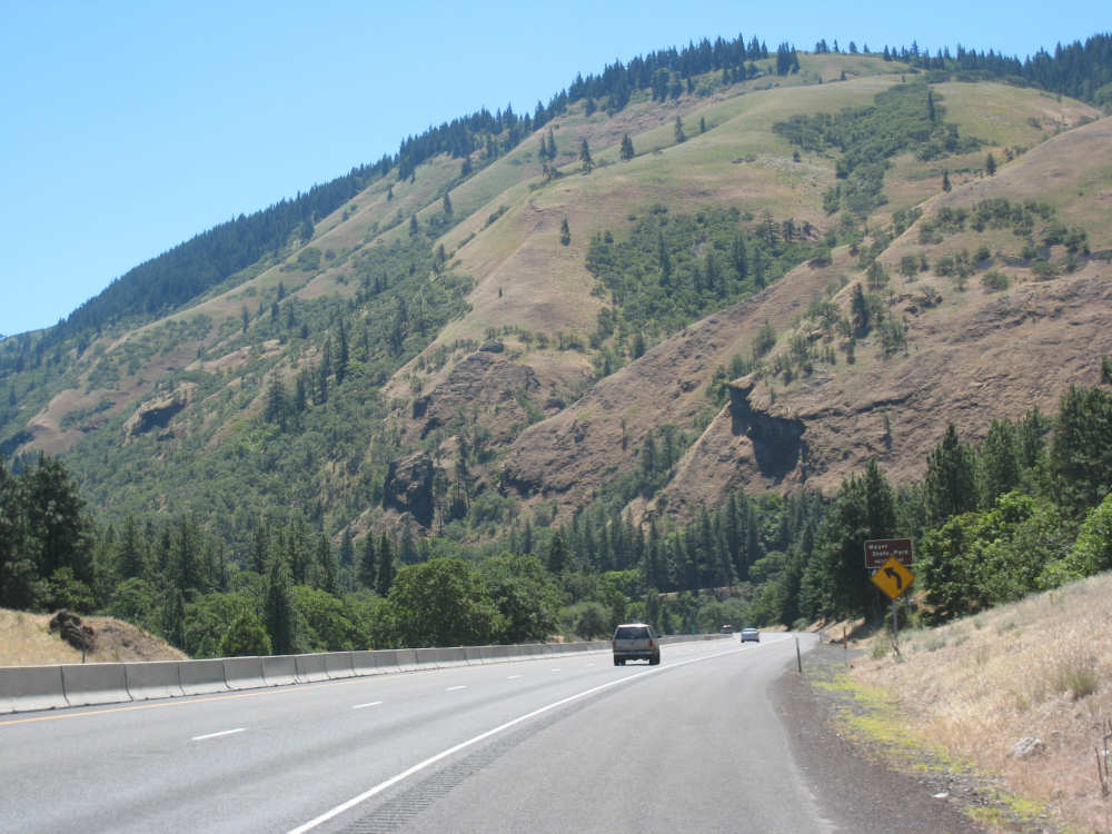
Another dramatic terrain change on the Washington side - from cliffs to rounded hills |

Oregon still looks pretty rugged |
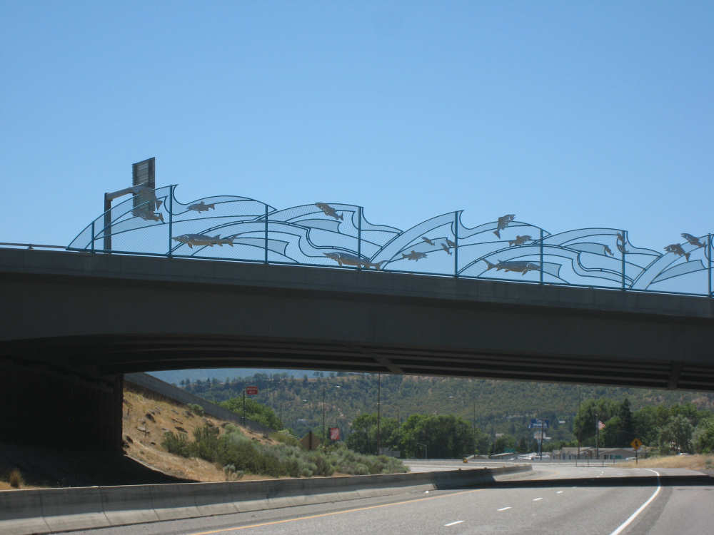
Coming into The Dalles, a lovely design on a bridge fence... |
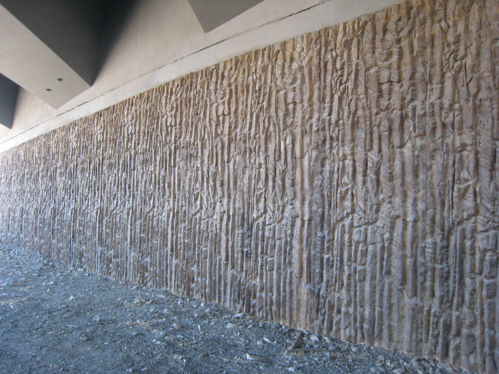
and the underside of the bridge emulates the rock faces |