Friday, May 09, 2008
Palo Verde, CA to El Centro, CA
82 miles (3584 total miles)
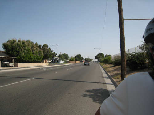
Big day today. We hadn't decided last night whether to stop at Brawley today (67 miles) or go all the way to El Centro; we thought we'd wait and see how the day went and decide when we got to Brawley. We started at 6:20 this morning to get as much of the cooler morning temperature as we could and to make sure we didn't end too late, even if we went to El Centro. Our nearby restaurant didn't open until 8 so we had 2 of the sandwiches we had bought for the day and a couple of little carrot cakes for the energy. We left before most of the town was up, but we passed a group of kids waiting for the school bus to take them to school in Blythe, 20 miles away. A parent waiting with his kids told us this and he looked concerned when we told him we were going down Rt. 78 to Brawley - he told us to be careful, that the road was treacherous. We only knew it was a difficult road, but his warning was a good reminder that we needed to be extra cautious.
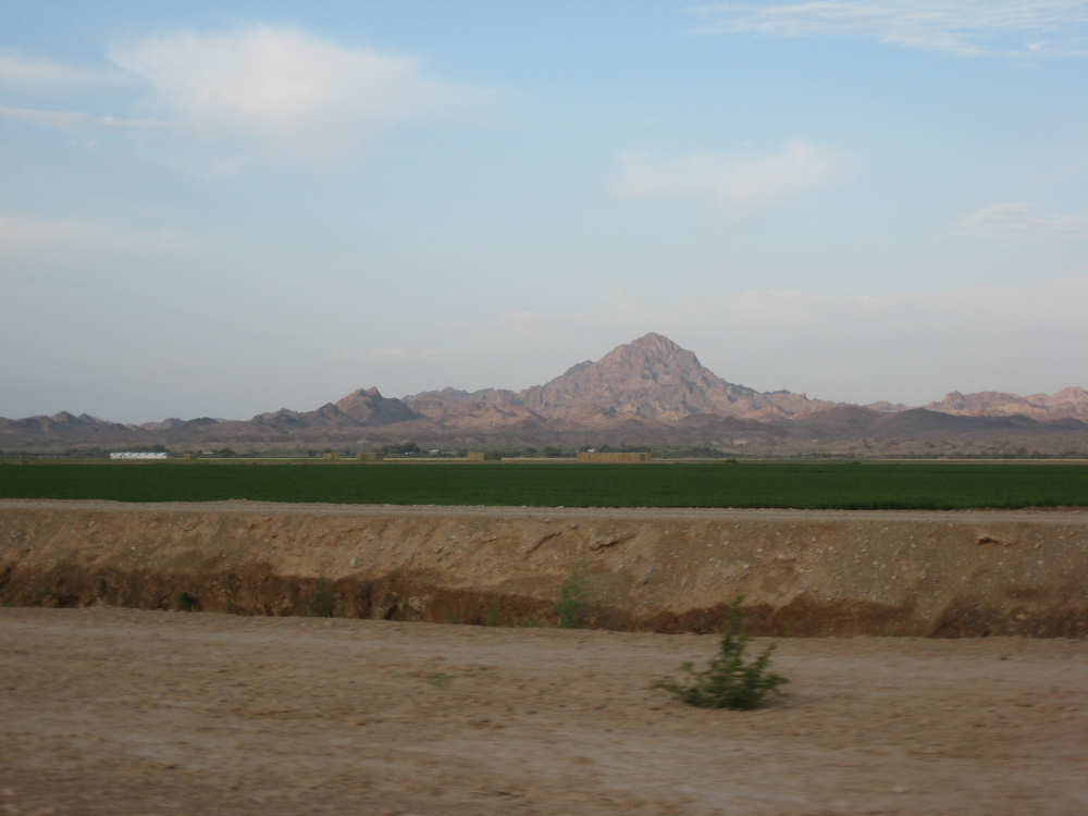
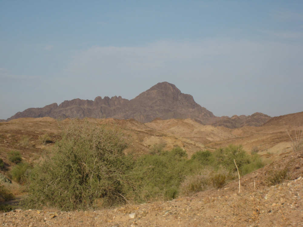
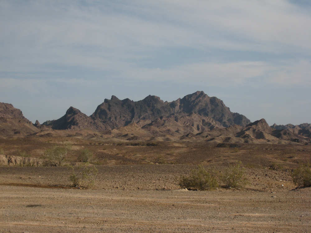
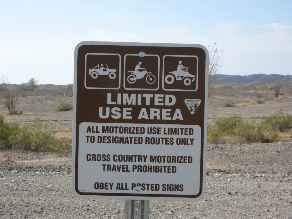
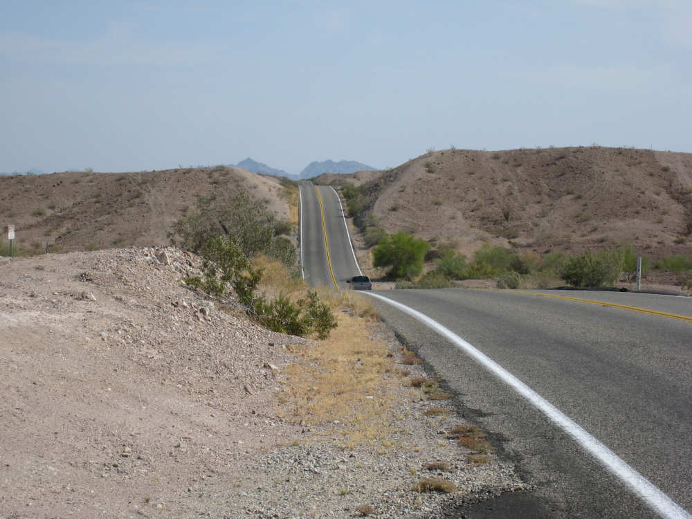
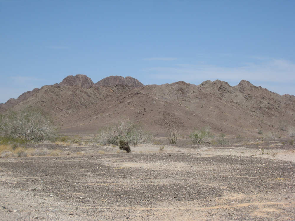
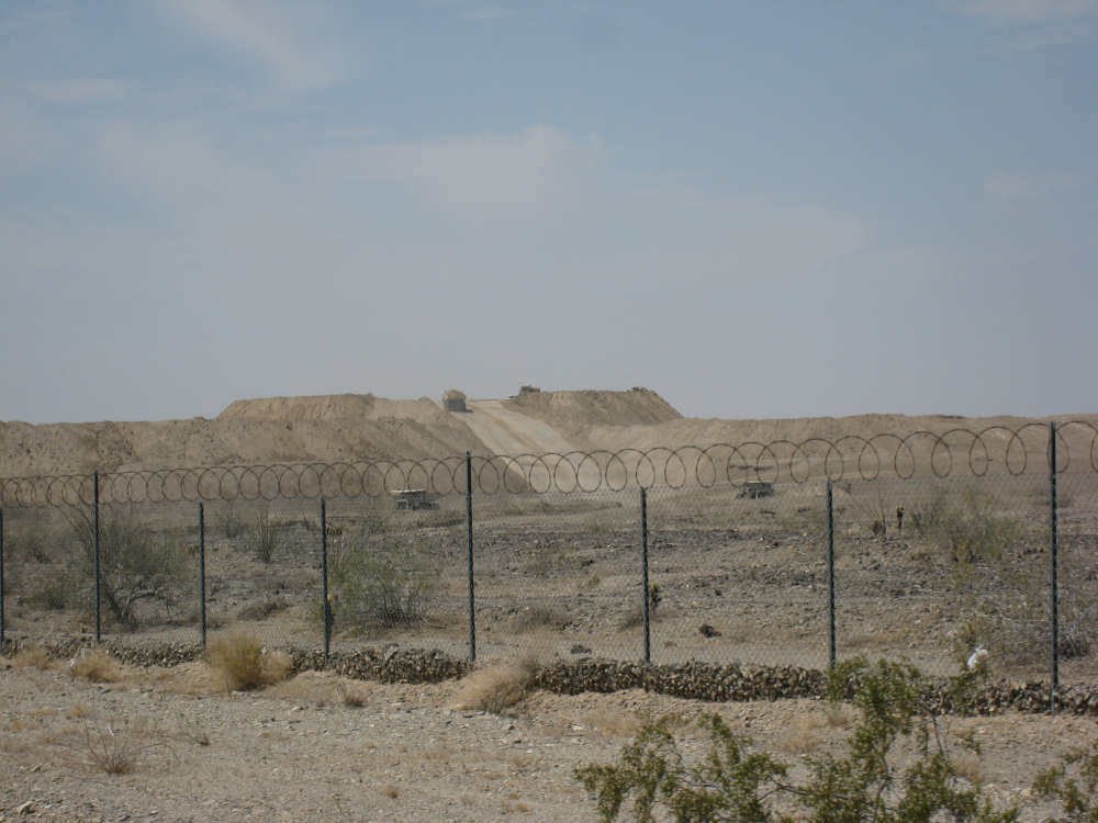
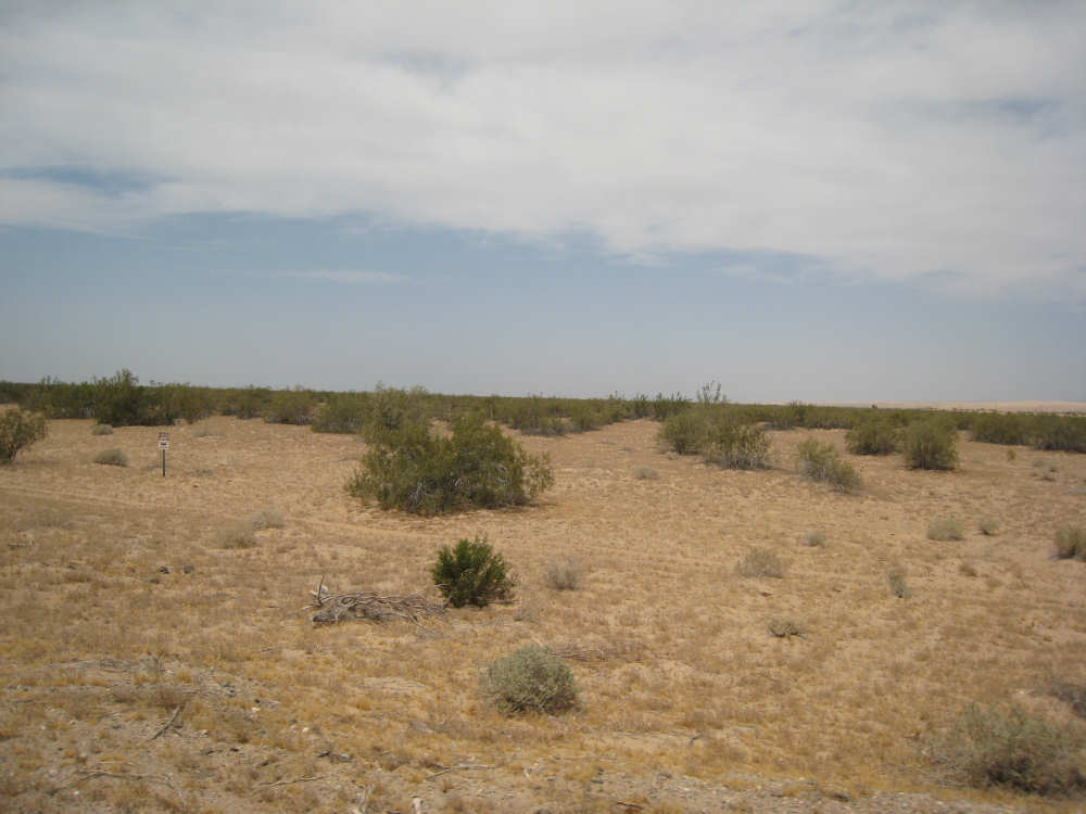
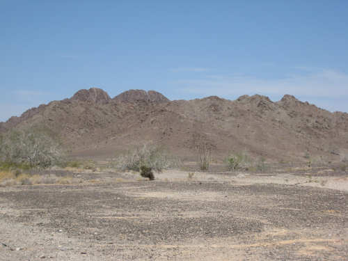
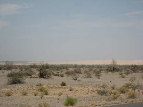
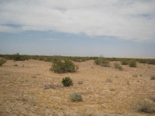
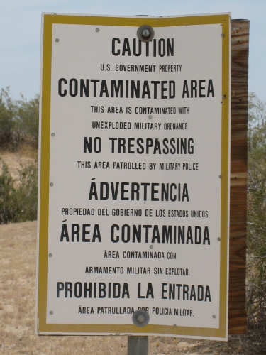
We started out pretty easily. We passed the Colorado River at the Palo Verde County Park. The Cibolla National Wildlife Refuge also extended to our left around that area, but we didn't see much of that. We went along the Colorado River for several miles but didn't see it again after the park area. To our right was the impressive Palo Verde Peak and the Palo Verde Mountains that it was a part of. We passed the Palo Verde Outfall twice; this was a wash from these mountains. There was a wide area called the Milpitas Wash which was covered with dark gravel. It looked like it had been carefully smoothed out - hard to tell if it was natural or not. There were signs in this area, and later ones similar to it, stating that motorized vehicles were restricted to designated areas, presumably to protect the fragile desert ecosystem here. The terrain was rugged, mountainous, and sparsely covered with the usual desert plants. The road was mostly uphill but with a rollercoaster set of dips and rises. The shoulders became quite narrow and the sight-lines were short because of all the dips. It was fairly slow-going and we were glad we were hitting this stretch while we were fresh. After about 30 miles, we finally started to go downhill more than up, so we picked up some speed. When we went by the Chocolate Mountains, so called for their deep brown color, we also entered an area designated the Naval Reservation Aerial Gunnery Range. We saw big piles of dirt and big dump trucks going up and down one of the big piles, dumping more dirt. We were confused as to why a gunnery range would need to have these big piles of dirt, but later realized that there was also a large mine in this area. We weren't sure what the relationship was between the two, though. Shortly after we passed the gunnery range and mine, we entered the town of Glamis, which was nearly deserted (no pun intended). It turns out their sole purpose was to support the dune buggy enthusiasts who flock to that area for the winter season, which had recently ended. We got some drinks at the convenience store in town and ate two more of our sandwich supply. We had come 40 miles at that point in about 5-1/2 hours, which given all the hills, seemed pretty good.
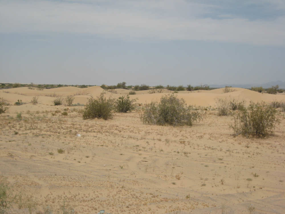
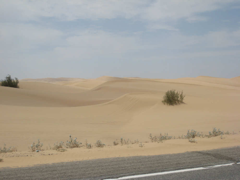
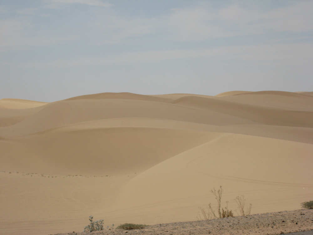
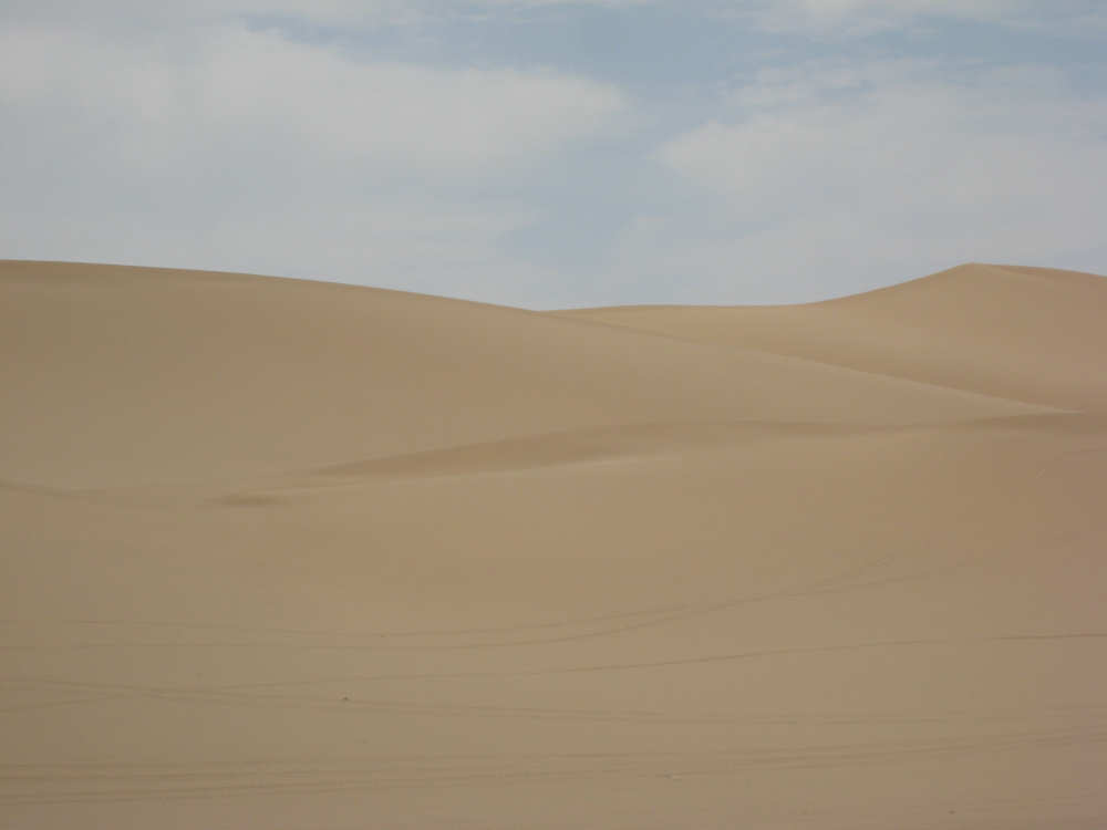
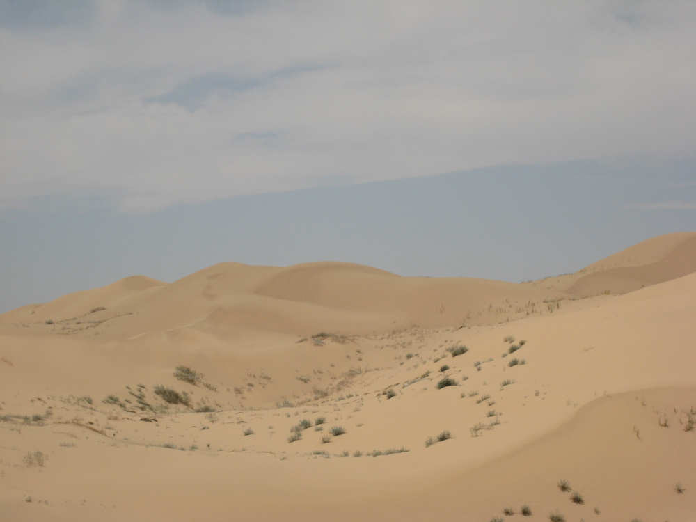
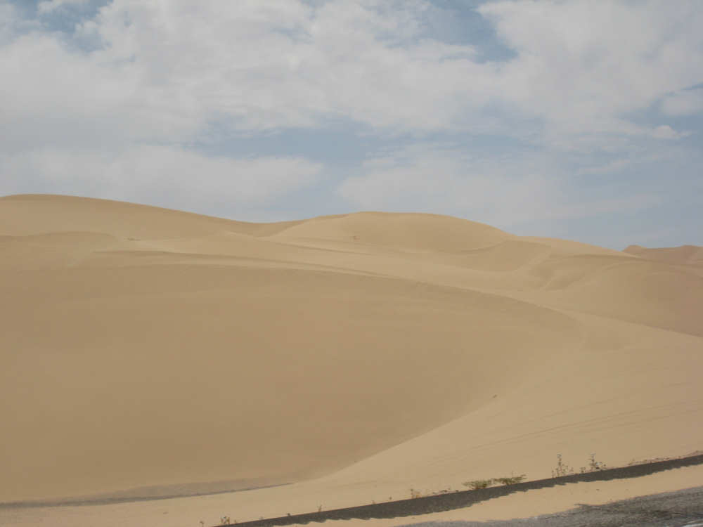
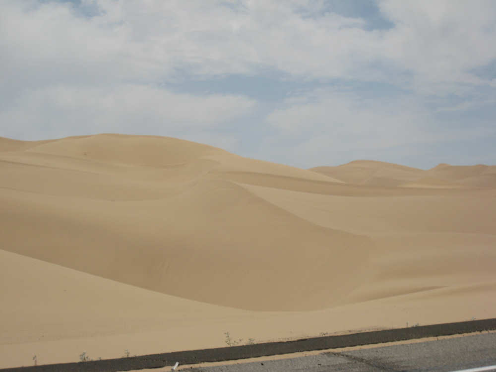
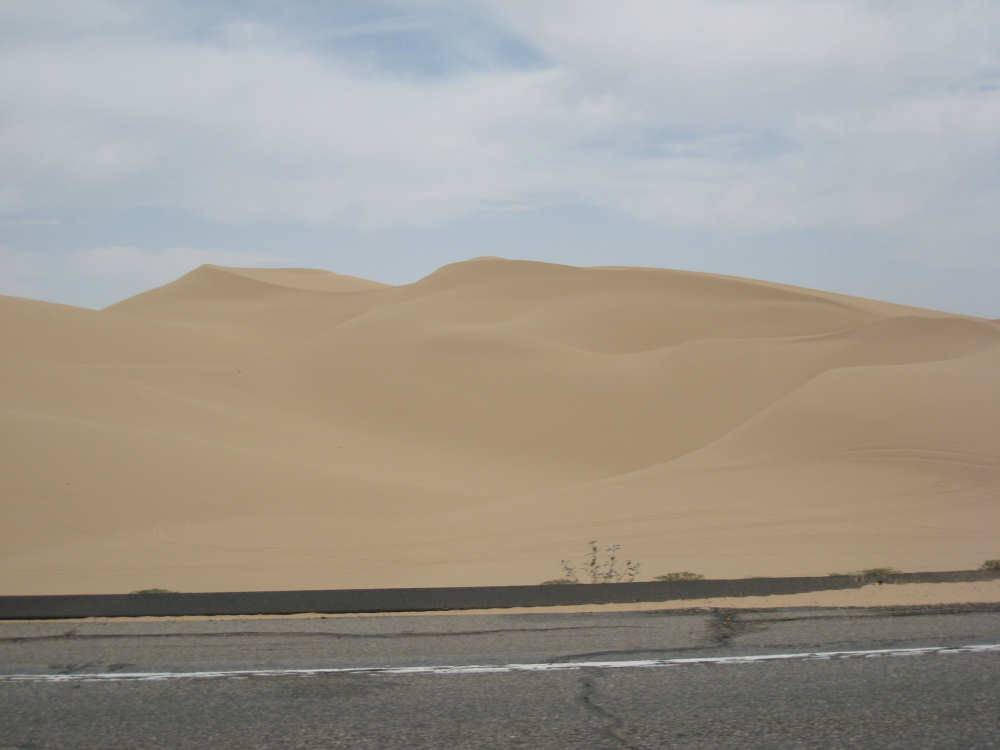
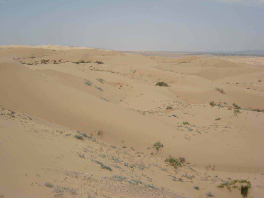
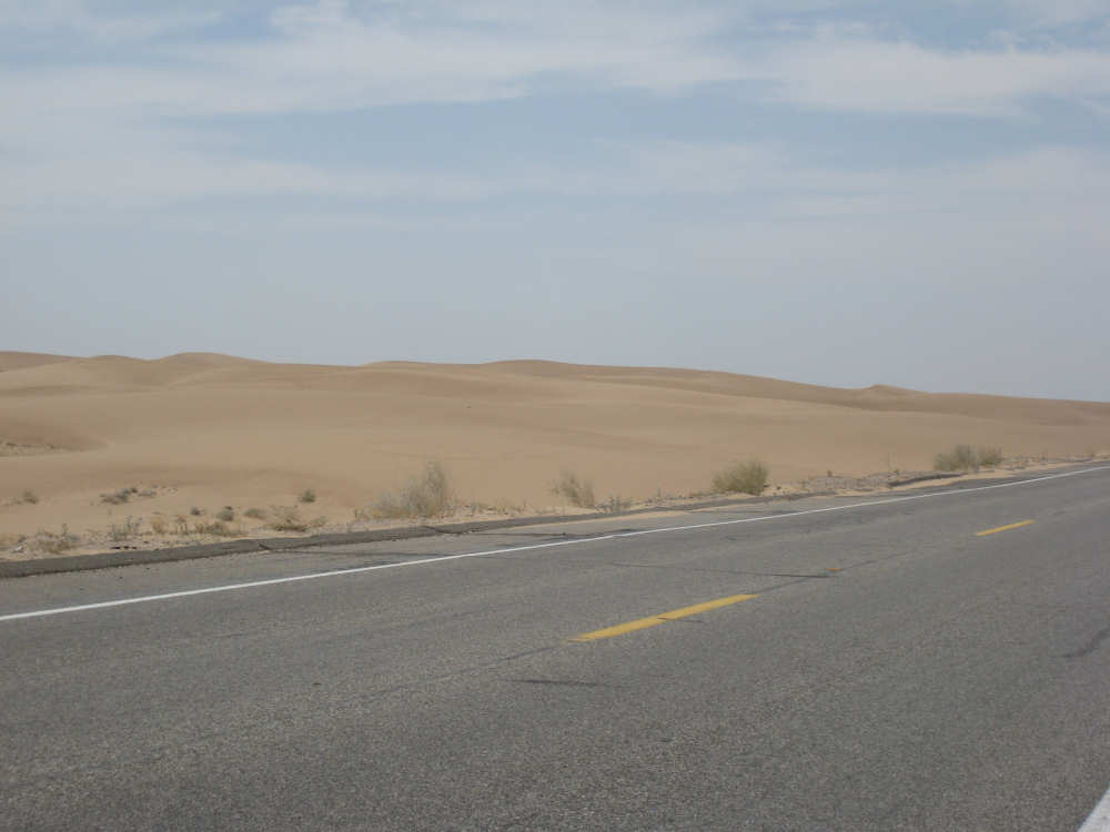
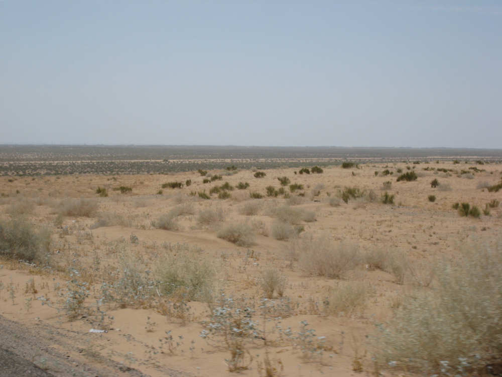
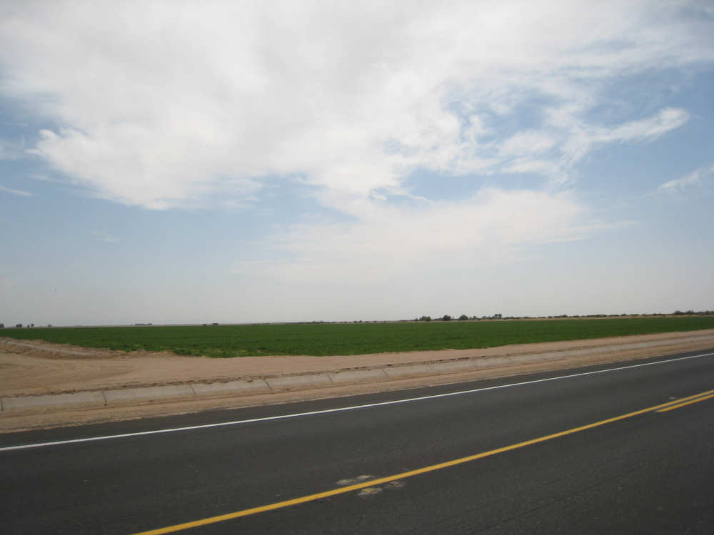
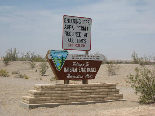
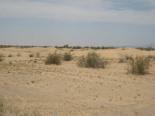
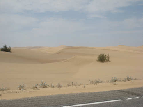
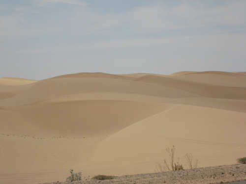
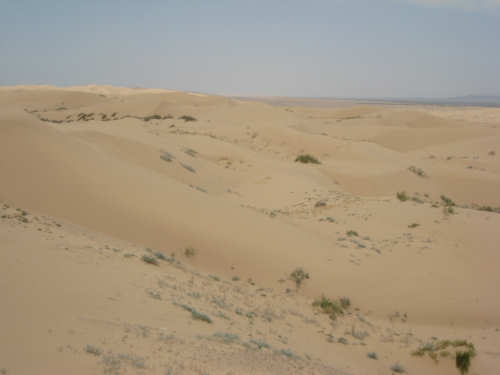
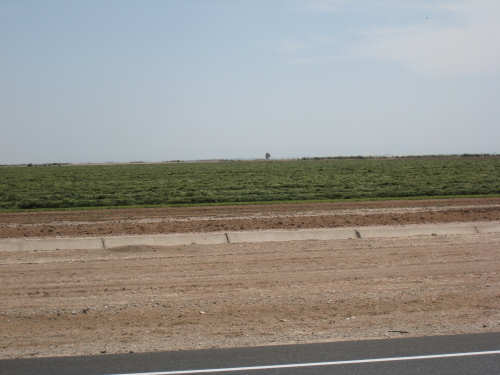
Then the best part started - the sand dunes. We had been a little nervous about this area because the wind was a bit stronger today, so we were concerned that there might be a sandstorm. But we didn't have any trouble. The sand dunes were spectacular. Just like many of the mountains we'd seen, they had varied and interesting shapes, little valleys where a few desert shrubs grew, sharp peaks and rounded hills - we just couldn't stop taking pictures. The most interesting dunes were to the left (south side) of the road, The north side was a protected area where no vehicles were allowed. It was interesting in that there was a lot more vegetation on that side, even though it was just as sandy. The dunes went on for about 7 miles. They slowly flattened out and became less barren, until finally the terrain looked a lot like it had before the dune area. Shortly after that, we entered the Imperial Valley, a lush agricultural area that is below sea level! Here we passed huge crop fields, mostly growing hay it seemed but also other crops, an orange grove, a palm tree nursery, and a large cattle feedlot. We entered the town of Brawley, pretty hot and tired at this point. It was about 3:30 and 93 degrees and we had come about 67 miles. Brawley was packed with cars too, so it was not exactly relaxing. We stopped at a Mexican restaurant to rest, cool off, get something to eat and decide whether to chug on or find the nearest motel. We were greatly refreshed by our meal and large Cokes and decided it was still plenty early to go another 15 miles. We almost regretted the decision pretty quickly, though, because the wind had picked up a lot at this point and we were battling it nearly every inch of the way to El Centro. Luckily, the road was still good and had a decent shoulder; the traffic was still fairly heavy, so it still felt pretty hectic. We were very glad to see the motel we were aiming for, and it turned out to be a very comfortable one. We ended up at 82 miles in 8-1/4 hours of bike time; a perfect 10 mph average. Tomorrow, we go from sea level to 4000 feet in about 20-25 miles. It will be about half the length, but probably take just as long.
The Colorado River at the Palo Verde County Park
|

The Palo Verde Peak
|

The Palo Verde Outfall
|
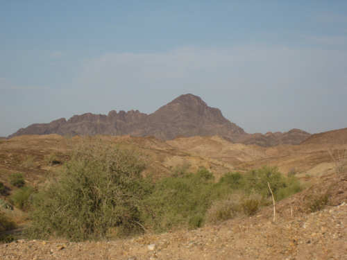
More of the Palo Verde Peak and Mountains
|
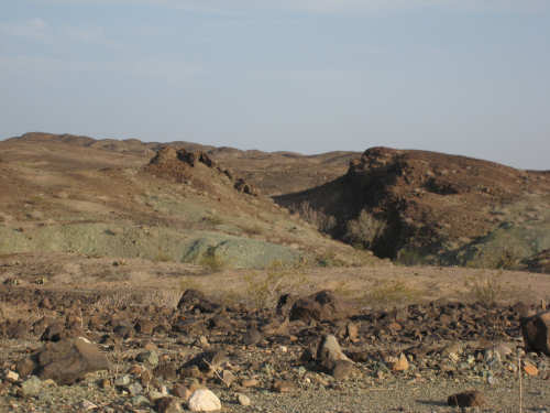
The rugged terrain and a strange green-colored rock
|
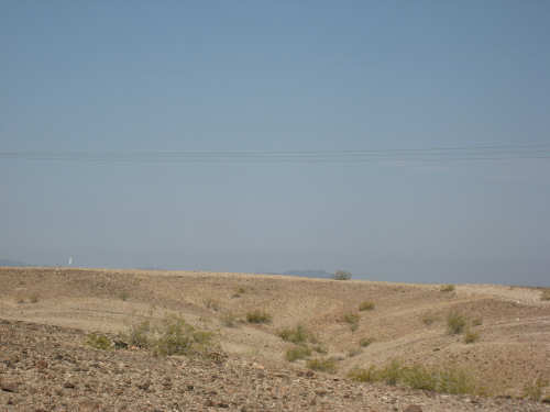
Mountains and the desert terrain in front of them
|

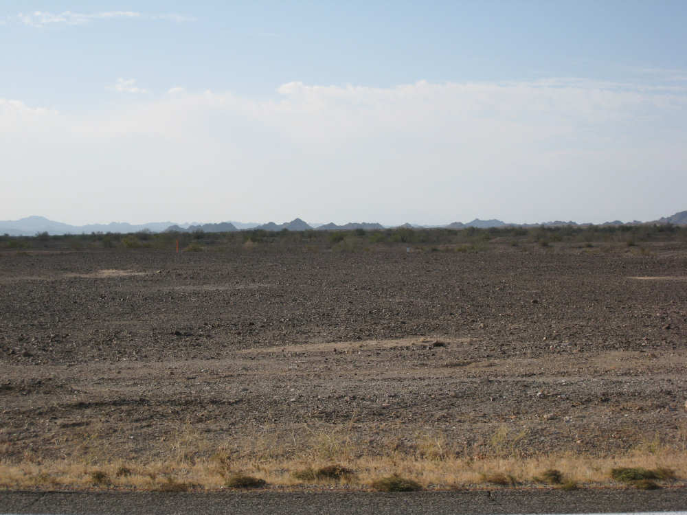
Part of the Milpitas Wash area with its gravelly surface
|
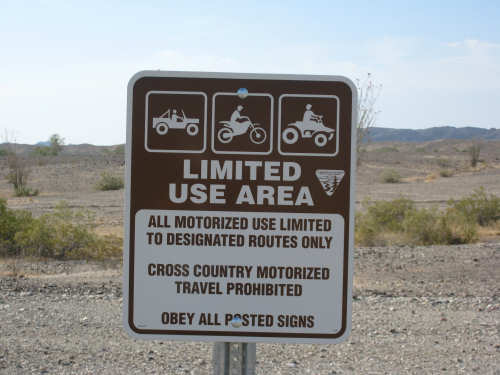
The signs that were all along the wash areas
|
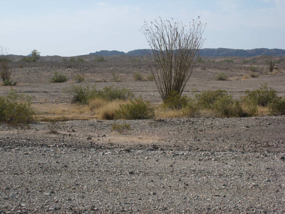
More gravelly terrain with desert plants
|
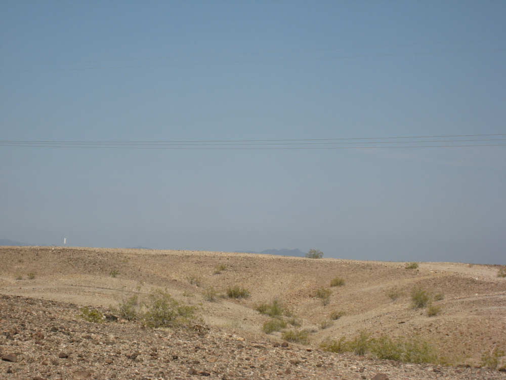
The ground slowly gets sandier and softer
|

Some of today's little dips and rises
|
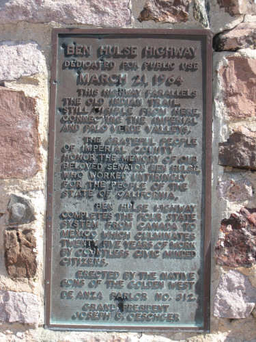
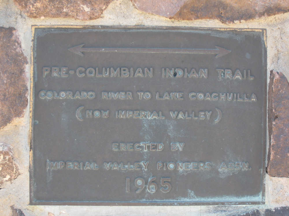
Hwy. 78, named after a CA senator, Ben Hulse
|

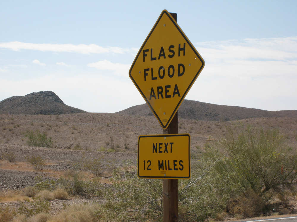
A reminder that this area floods quickly at times
|
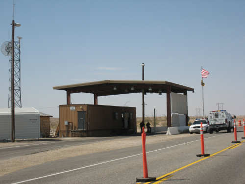
A Border Inspection station set up for east-bound traffic
|

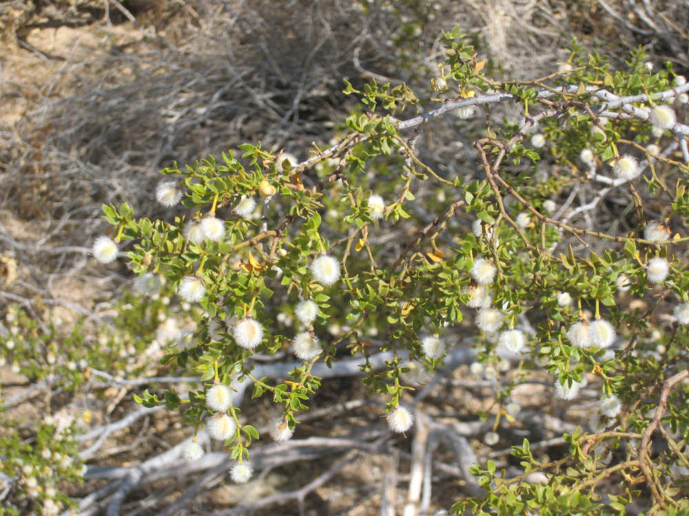
Some fuzzy berries on a bush that we saw a lot of today
(the shot is a little out of focus because the wind kept them moving,
but the berries really were furry-looking)
|
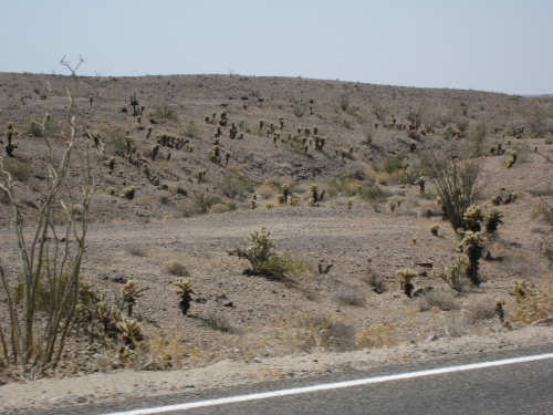
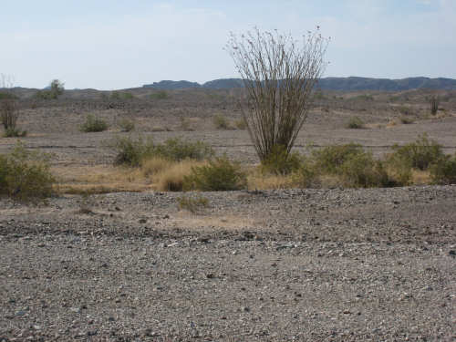
An area that was full of cholla cactus
|
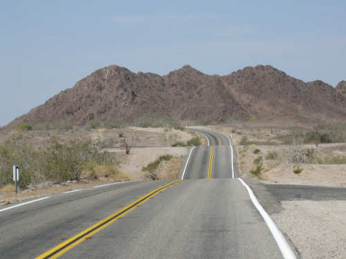
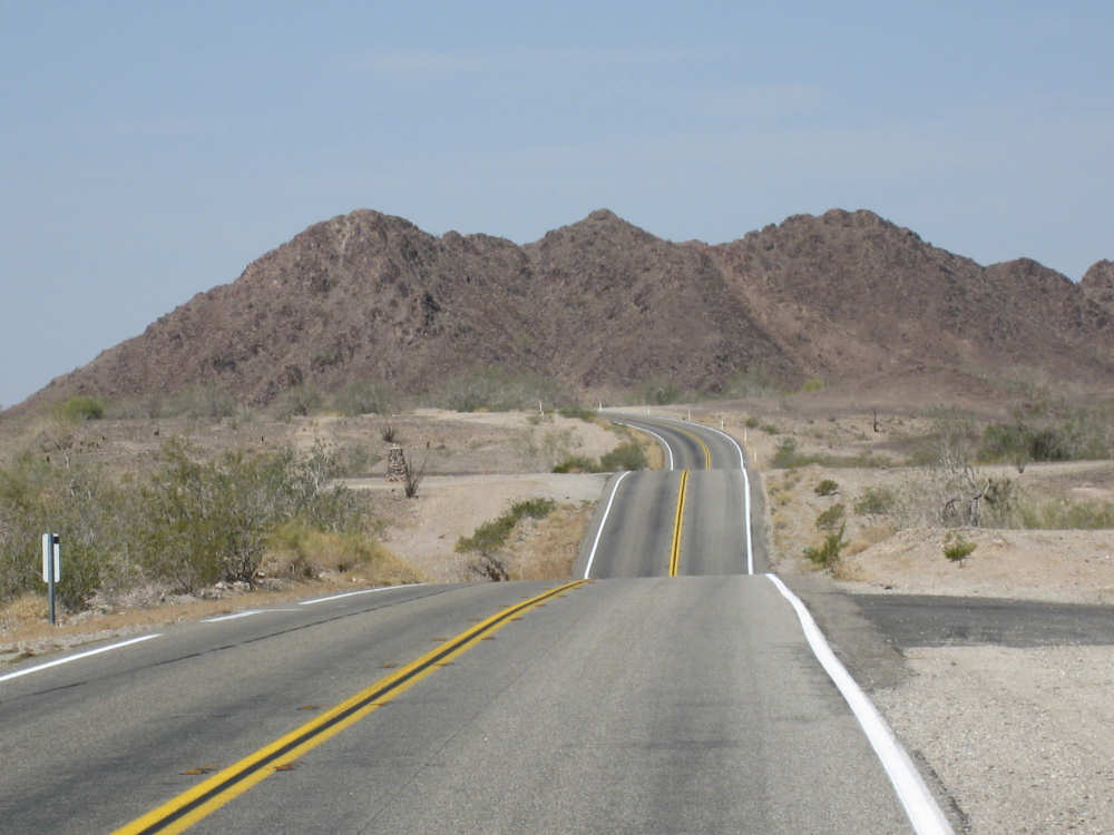
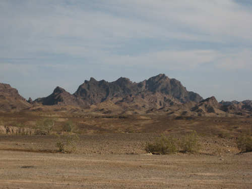
More dips and rises, and the Chocolate Mountains
|
Chocolate Mountains
|
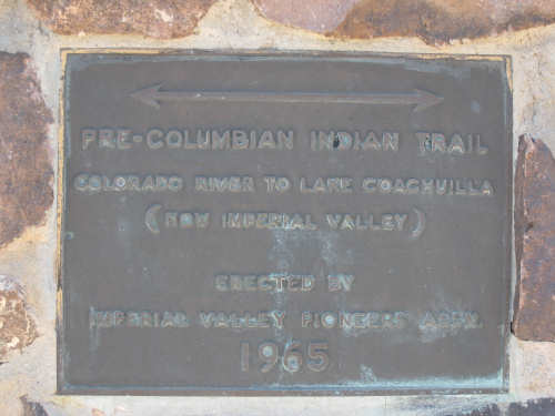
The Indian trail that the Ben Hulse highway marker referred to
|
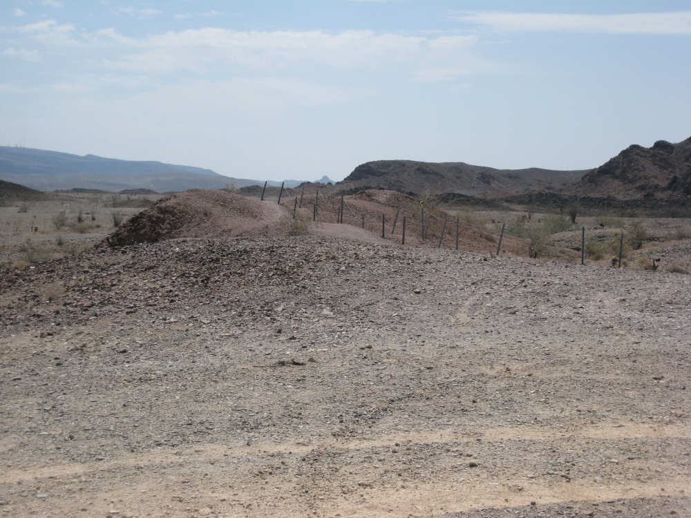
The Indian trail itself
|

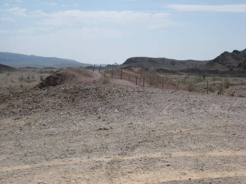
The gunnery range (fenced off) and the dump trucks going up & down a big pile of dirt
|
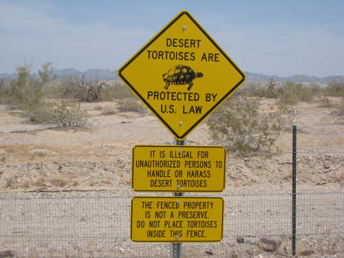
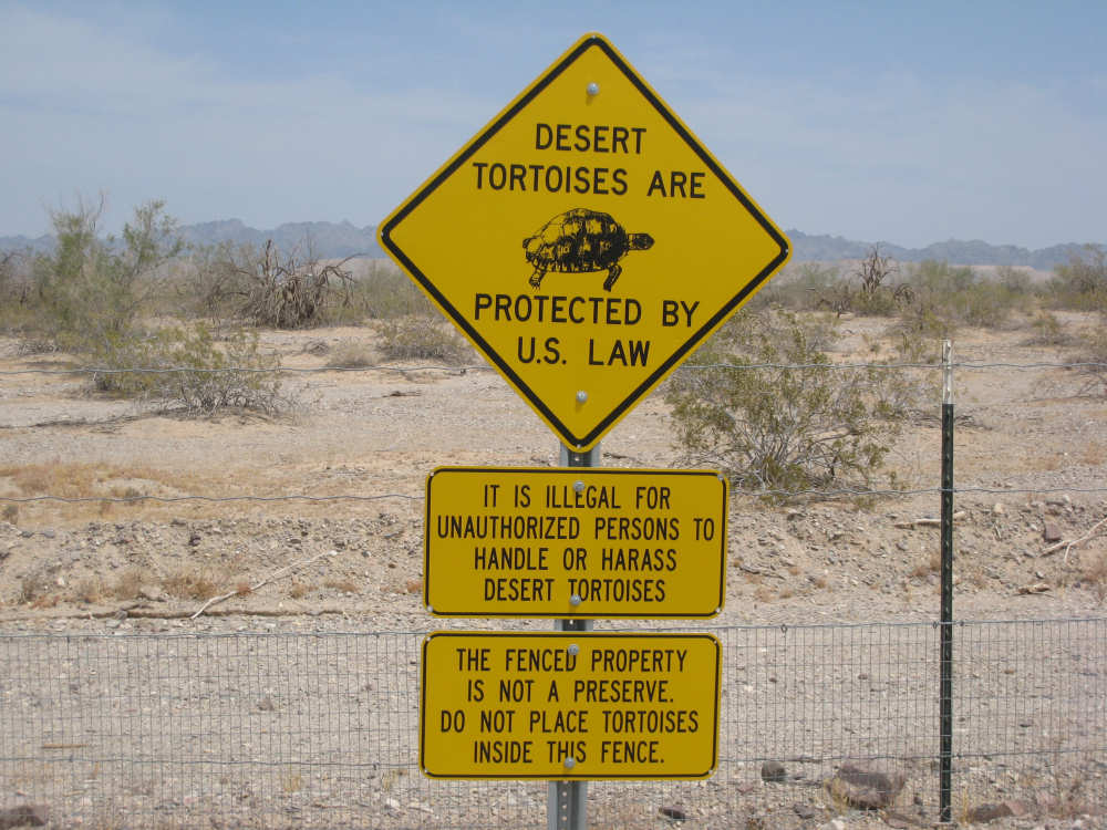
We saw a lot of these signs too far off to read and finally had to go see what they said
|
Our first glimpse of the sand dunes in the distance
|
We enter the Sand Dune area
|
The dunes start out small (this is the north side that was less barren)
|
The south side starts looking interesting
|
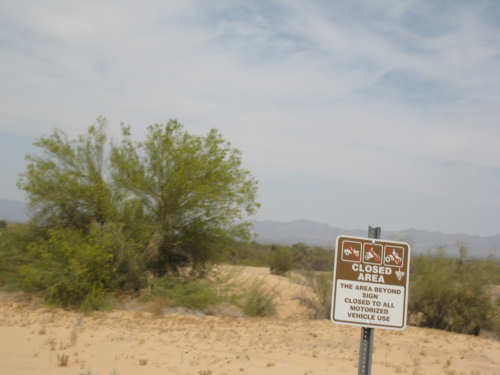
The north side, closed to all vehicles
|
The south side really becomes spectacular
|
The dunes start to level out and have more vegetation
|

We get a glimpse of greener areas beyond
|
Short and scrubby vegetation covers the ground again
|
Another sign we couldn't quite read from the road;
Pat valiantly volunteered me to go get a picture of it
|
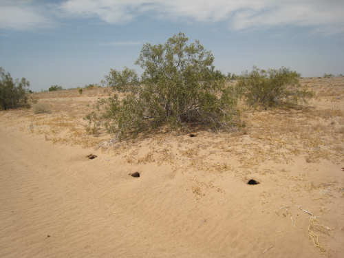
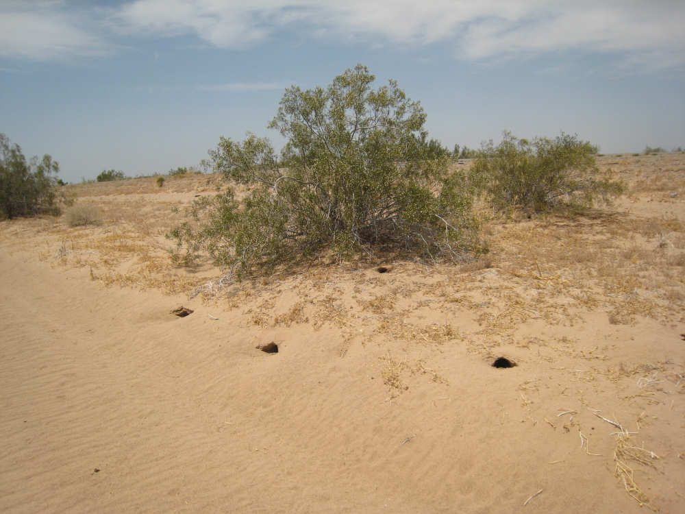
3 Prairie Dog holes?
|

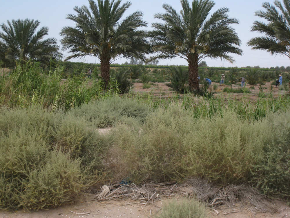
We enter Imperial Valley with its lush crops
|

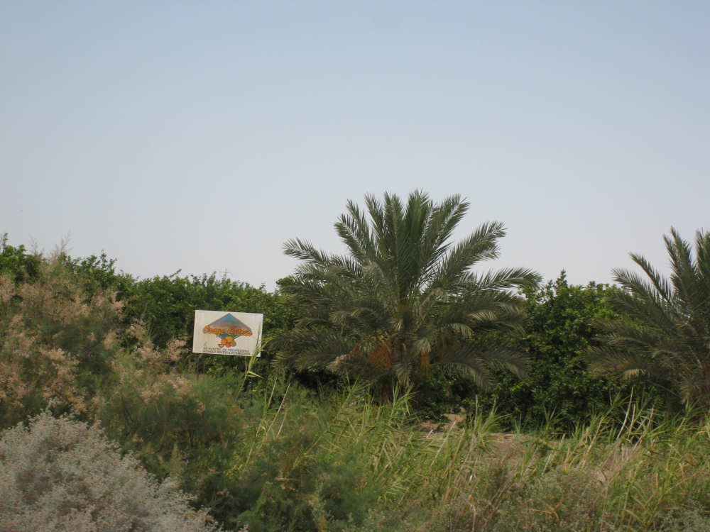
Men working in an orange grove lined with palm trees
|
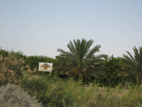
The sign says Osage Citrus
|

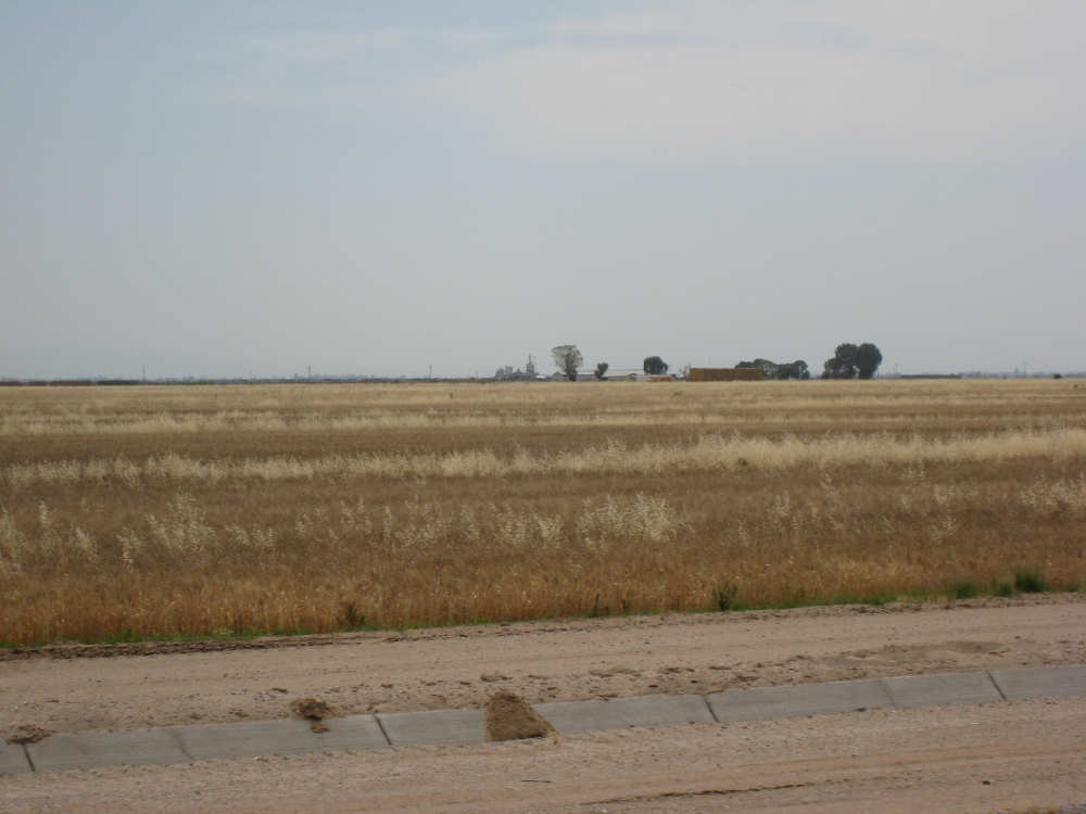
Huge wheat field
|
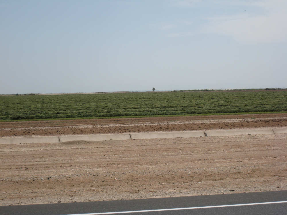
A huge crop of hay waiting to be baled
|
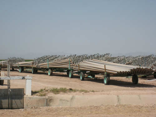
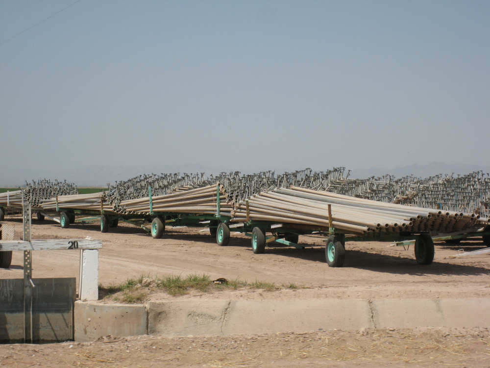
Irrigation pipes wait to be installed
|

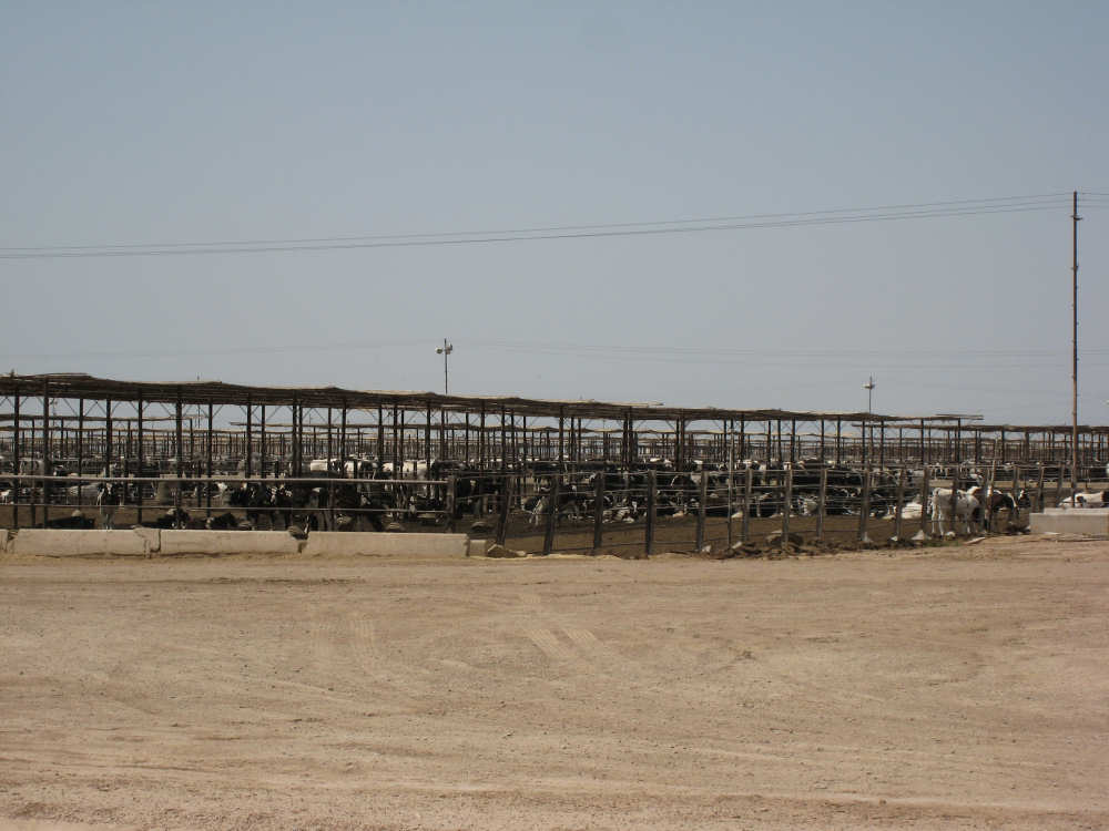
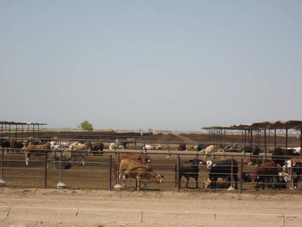
A huge cattle feed lot..
|
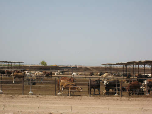
with cows milling about
|
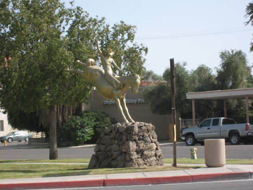
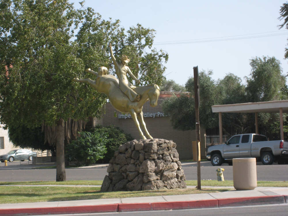
A statue in the plaza in the middle of Brawley
|
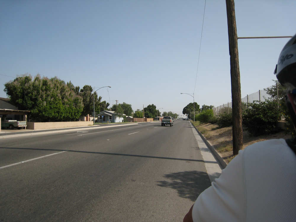
On the road out of Brawley
|
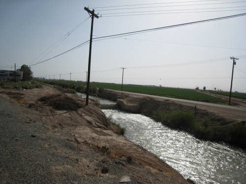
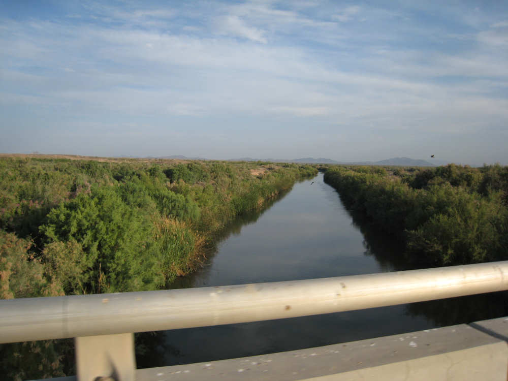
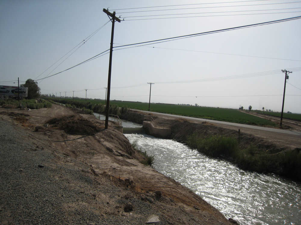
Water rushing in an irrigation ditch
|
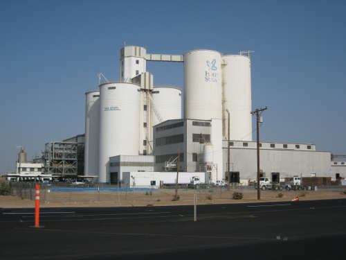
A big sugar processing plant - the line on the left tower indicates where sea level is
|

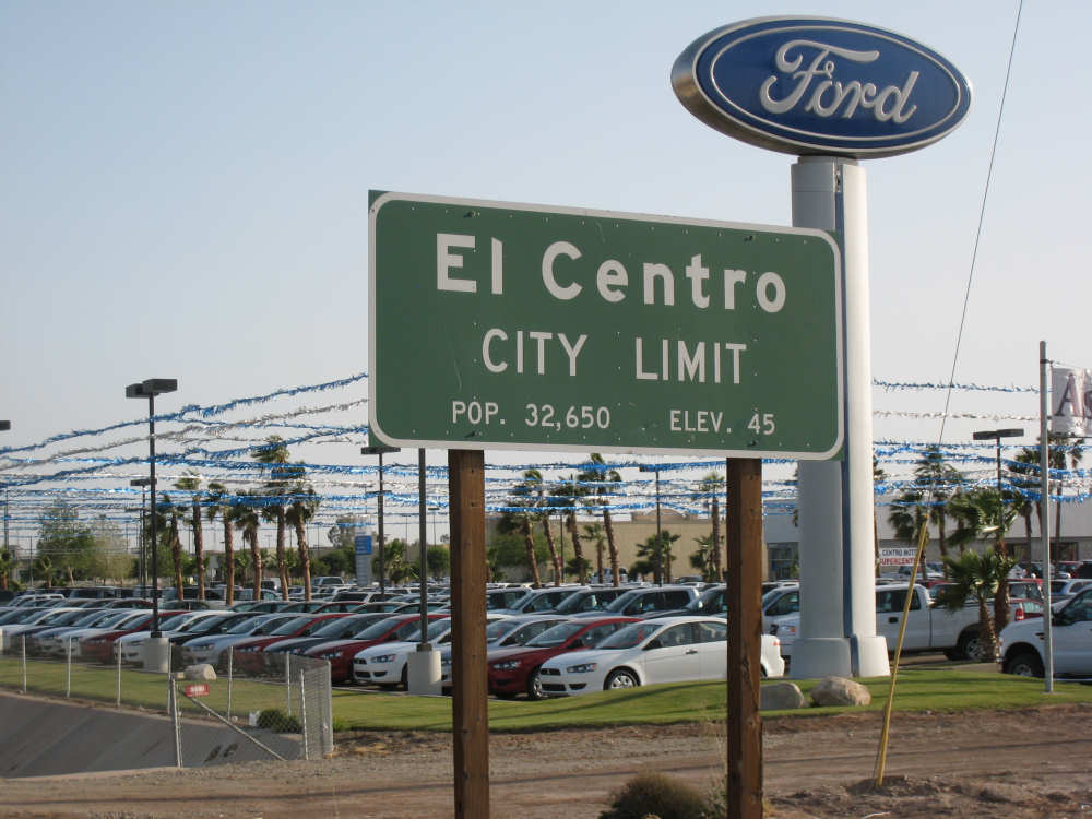
We enter El Centro which claims to be at 45 feet, we think it's below sea level too
|