Saturday, May 10, 2008
El Centro, CA to Jacumba, CA
44 miles (3628 total miles)
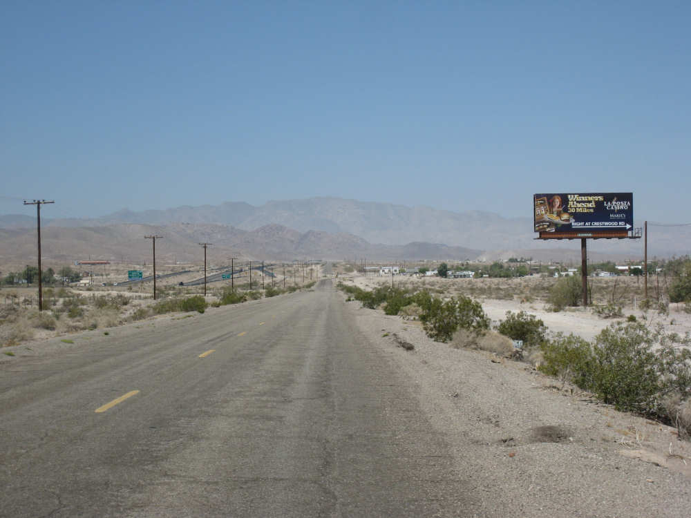
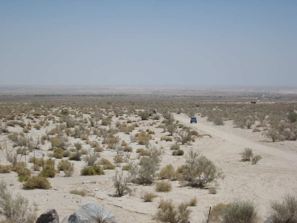
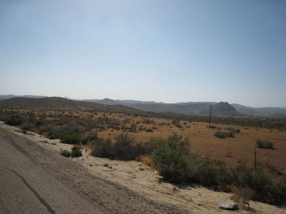
We left El Centro a little before 8 this morning (awfully late, but our breakfast didn't open until 7 and they were very slow). We were expecting a long, slow climb today, and even though it would be fewer miles than usual, 44 as it turned out, we weren't sure how long the trip today would take. We rode out of town on a really awful road, covered with cracks and a rough surface in between them; you can see bits of the road in some of the pictures below. It was already slow going because of the surface, even though we hadn't started the climb yet. We continued through the Imperial Valley, the lush farmland below sea level that we had entered yesterday. We saw egrets hanging around the irrigation ditches, but I couldn't get a picture of them. At the end of the valley, we were back in sandy desert, looking very much like the desert before we entered the valley. Here we saw lots of lizards, as we have for the past several days, a few cottontail rabbits, and a variety of birds. We passed a Naval Air Station at a distance; we couldn't see anything of it but we heard a number of jets overhead for some time. We came upon two cities before we started the main part of today's climb. The first one was Plaster City, which seemed to have only 2 things in it - one was a large US Gypsum plant, and the other was a huge stretch of desert that was open to OHV riders (Off Highway Vehicles). This being Saturday, there were a number of vehicles and riders out on the fields. They apparently have races there at times as well. The second town was Ocotillo, right at the base of the mountains. It was a small town, only about 300 people, but it had a nice cafe where we had an early lunch and refilled our water supply before heading up the slopes.
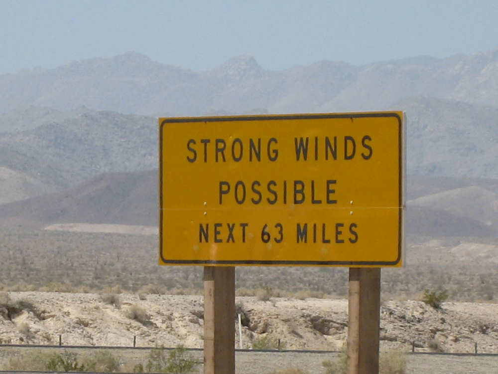
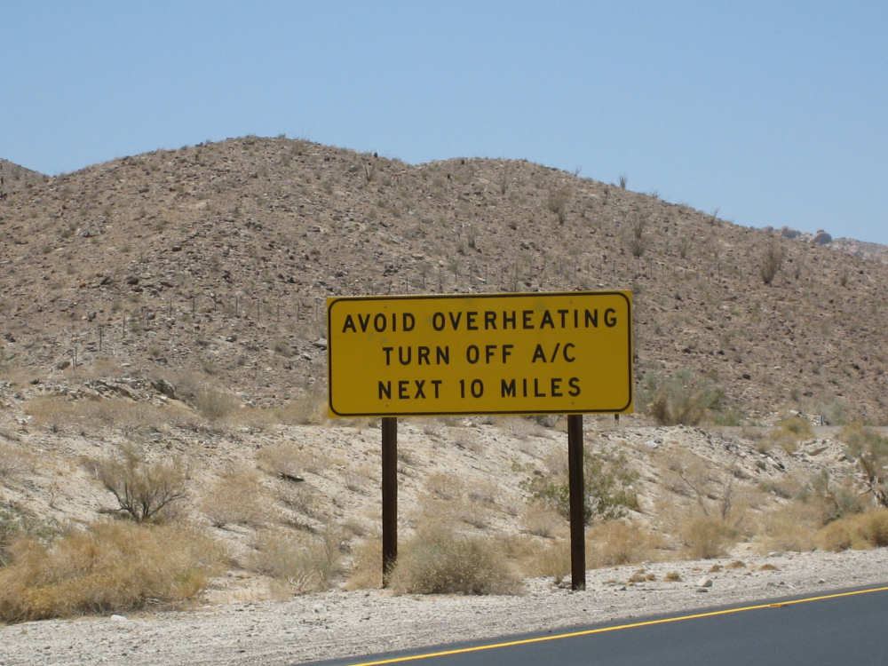
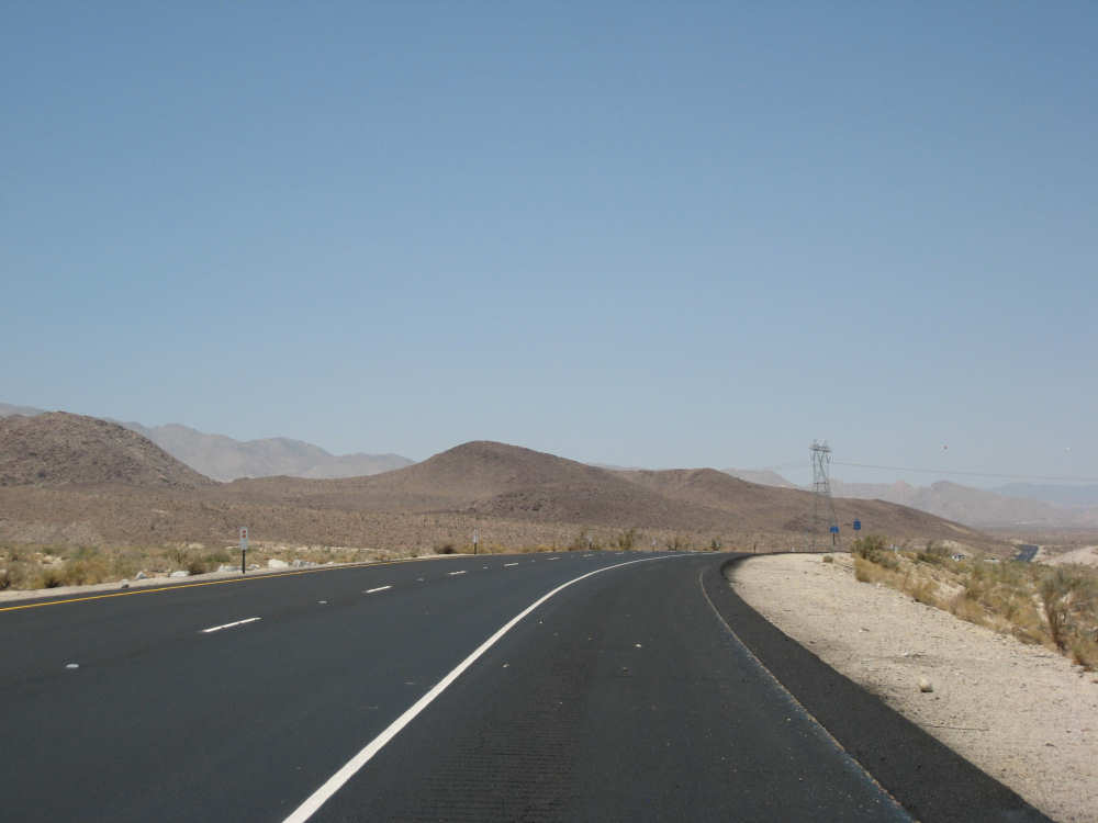
We got onto Interstate 8 from Ocotillo and we pleased to find that it was nice and smooth and had a good shoulder. This is where the climb began in earnest. We had already climbed about 500 feet over the last 28 miles and reached 1000 feet in a few more miles. All the mountains that we were climbing among looked like huge piles of rocks. There was very little vegetation, just rock everywhere. We had seen signs warning about strong winds and overheating cars on I-8 - we had little to no wind but we saw a number of cars and trucks pulled over due to overheating. It was a very hot day, in the 90's with no shade and few breezes, but we drank lots of water and rested often. We saw signs for radiator water every 3/4 mile or so with small cisterns of water near them. They had signs saying not to drink the water, but resourceful Pat came up with another good use for them - he would splash the water over his face and head to cool off (I couldn't bring myself to do it, god knows what's in that water). We also passed an odd structure at the top of one hill, which turned out to be called Desert View Tower, a 70-foot stone tower built by a former owner of the town of Jacumba, back in the 1920's. It now has a more modern museum/gift shop at its base. There was also an area called Boulder Park, where some of the boulders were carved into various animal and human shapes, carved during the 1930's by an out-of-work artist and engineer, W.T. Ratcliffe.
We hit 3000 feet at about mile 38, 10 miles after we got on I-8. Our exit came shortly after, and we were dreading another rough road for the last 6 miles of the day. We were debating whether to stay on I-8, skip our destination of Jacumba, and go another 6 miles or so to the next town, Boulevard. The state highway system decided that for us - we soon saw a sign saying bikes were not allowed on I-8 after that point. So we got off onto Old Highway 80, a historic road which turned out to be in very good shape. Not only that, it went downhill in a nice gentle slope (we were expecting another 500 feet or so of climb before the descent). We coasted most of the way to Jacumba, which was maybe 200-300 feet down from our I-8 exit. It was in a lovely valley and had crops of spinach, red chard, and other plants at the bottom of it. It is also very close to the border of Mexico, and we saw lots of Border Patrol cars, both on I-8 and especially on Hwy. 80.
We had not known whether we'd find a motel there or not, and by this time we were feeling pretty tired. The motel listed in the Adventure Cycling map had a disconnected phone number, but it turned out that it was just an old number and our motel was very much in business. It had a natural hot springs bubbling into a jacuzzi, a very nice pool, a great restaurant, and very comfortable rooms. We settled in happily, after riding 44 miles in just under 6 hours of bike time - a slow but steady 7.6 mph average. Tomorrow will be another short day, with more climbs but it looks like it will be a good deal easier than today was.
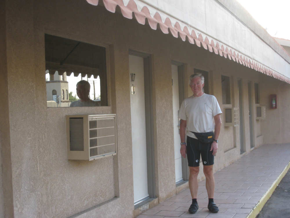
Pat outside our motel room door |
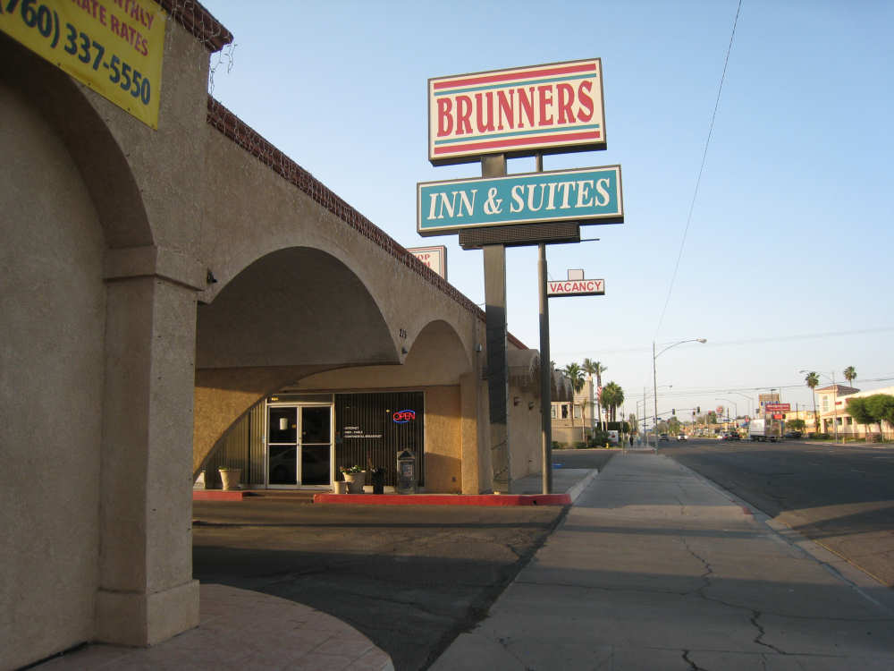
Our home in El Centro |
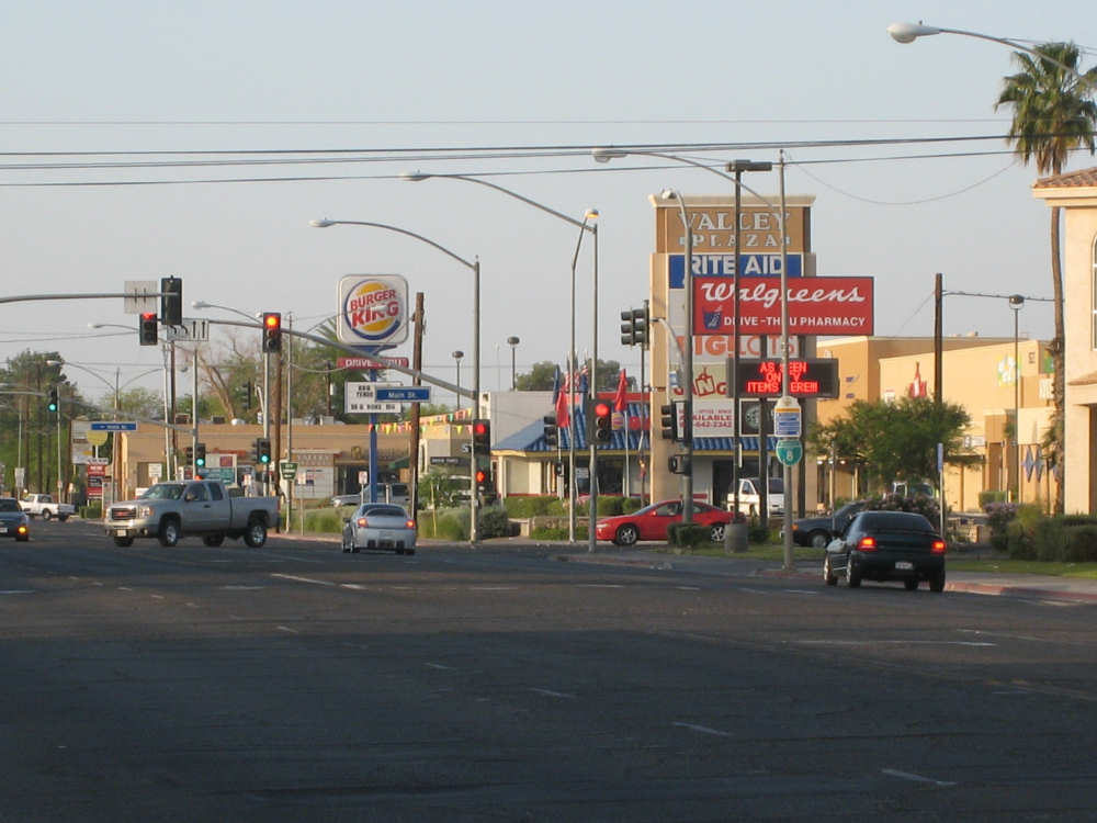
El Centro is a booming metropolis |
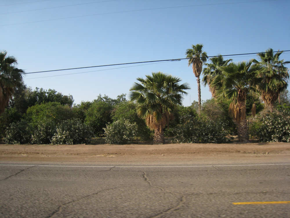
Leaving town, we're back in the lush farmland |
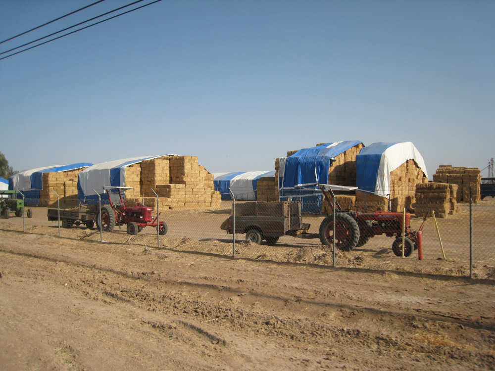
Enormous stacks of hay are everywhere |
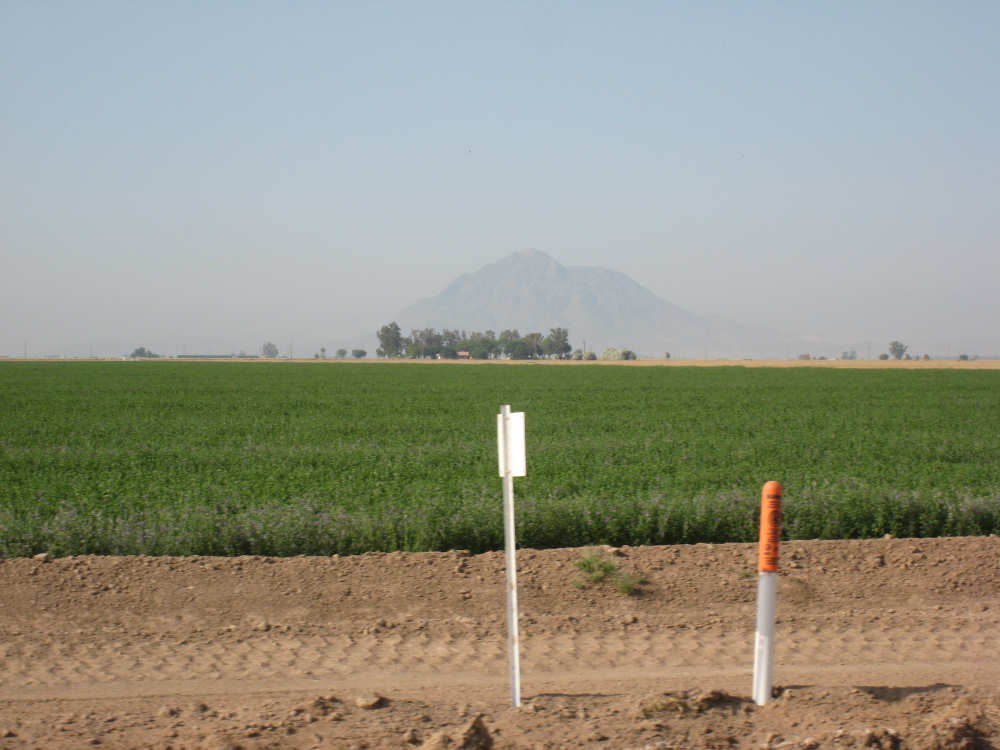
A hay field with a hint of mountains in the background |
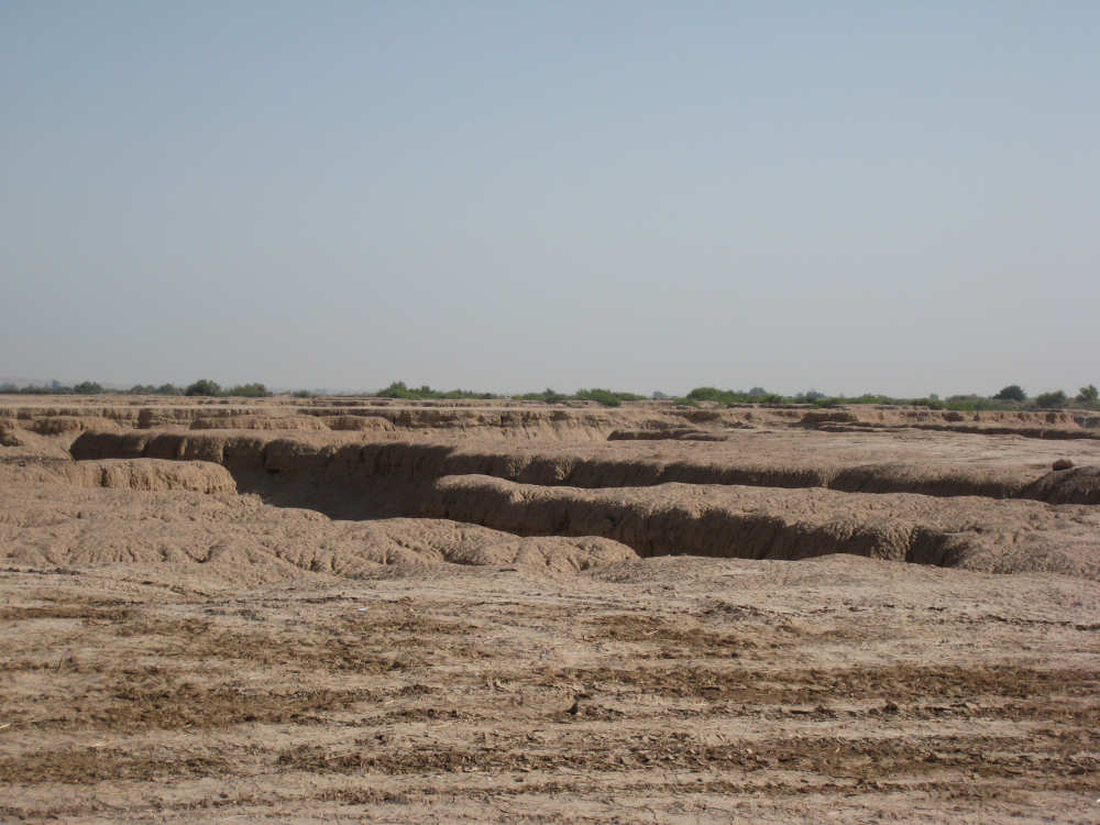
A river made a little canyon in empty farm fields |
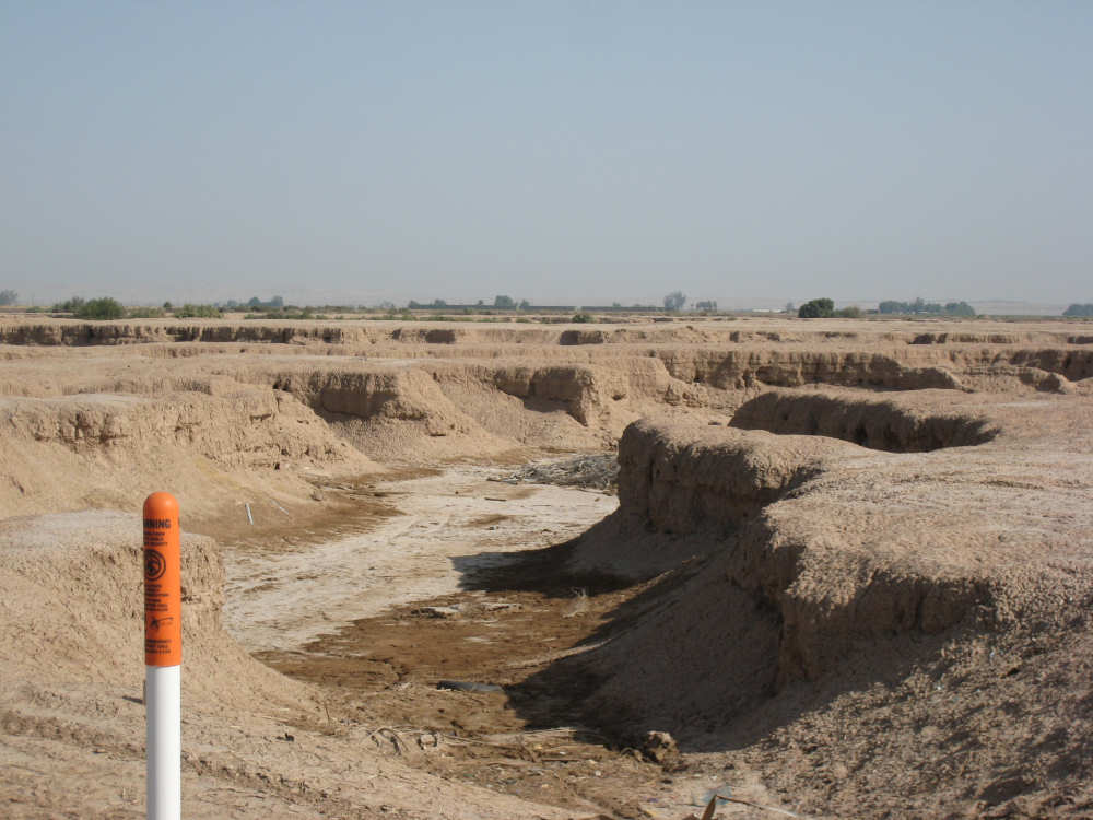
Dry now, but it looked like there was water in it recently |
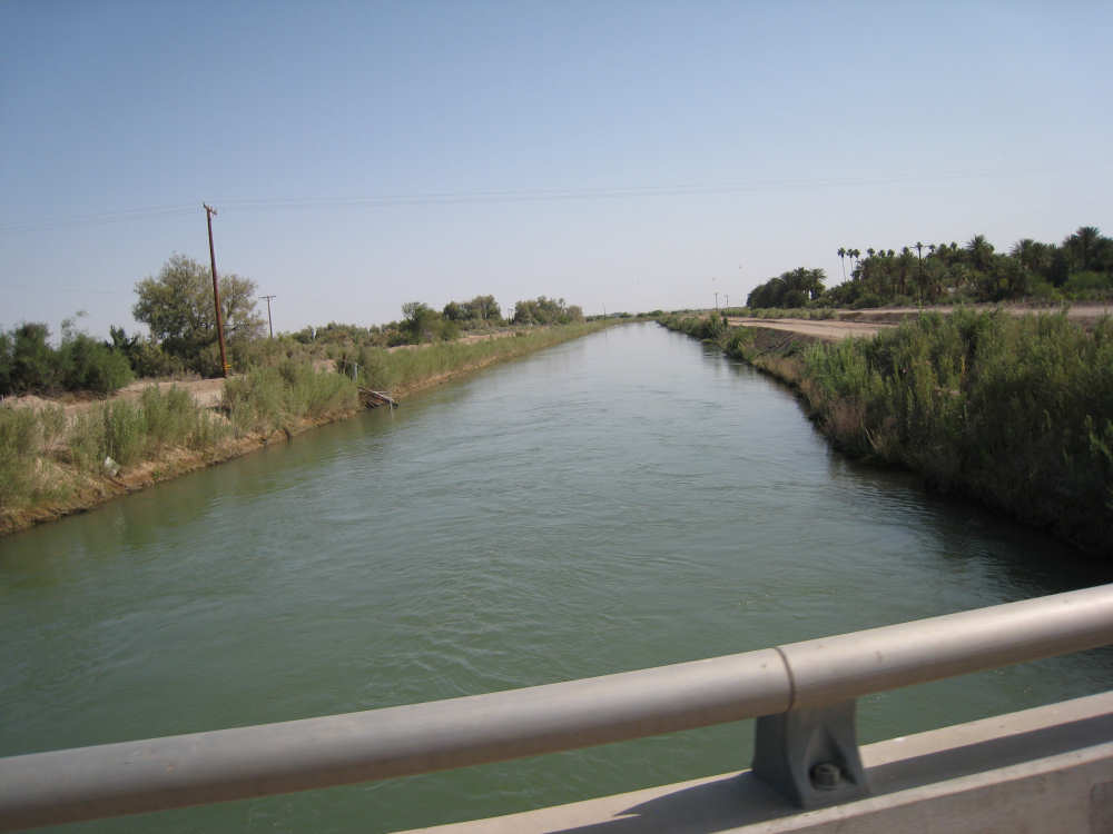
The Westside Canal, like its partner on the east end, marks the edge |
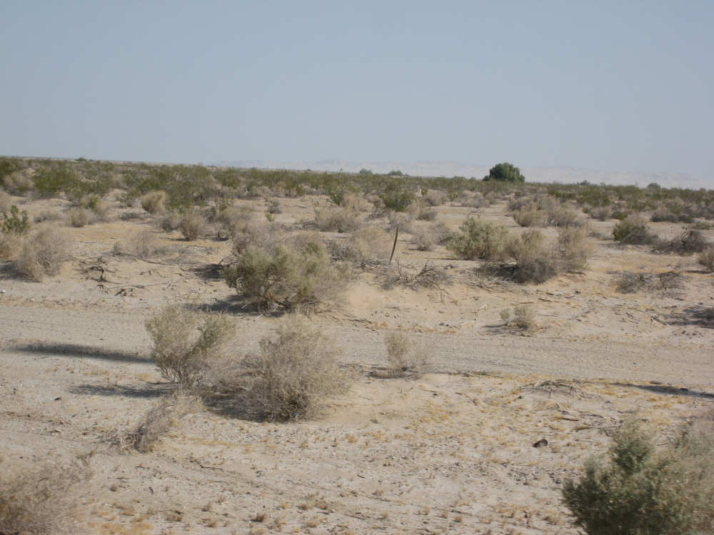
And we're back in the desert |

Plaster City, with its big gypsum plant, looms on the horizon |
An off-highway vehicle waits to be ridden |
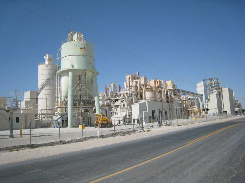
The U.S. Gypsum plant |

A long stairway goes up to a door at the top of this building |
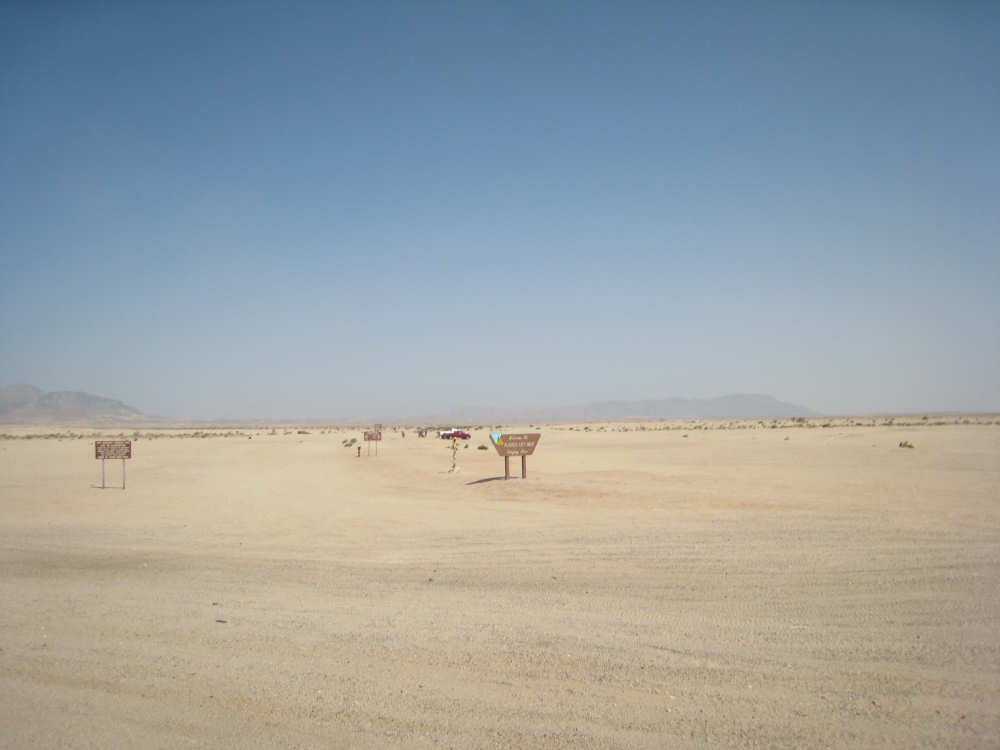
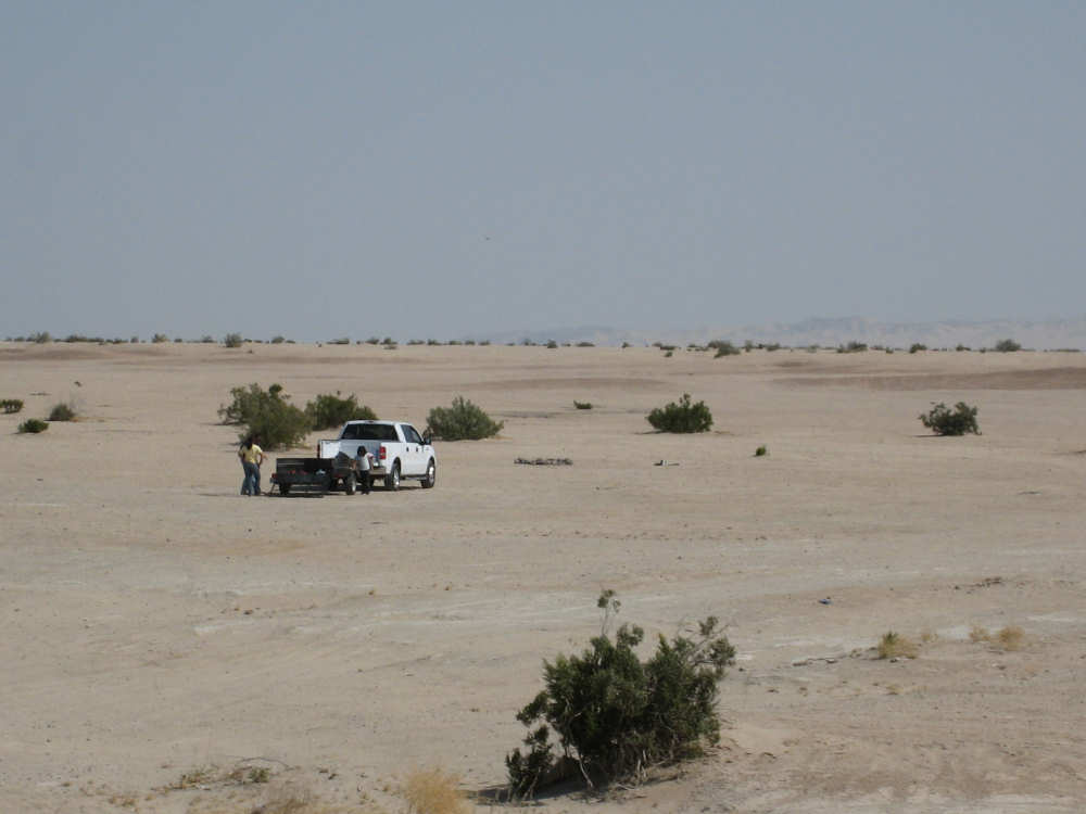
The OHV staging area |
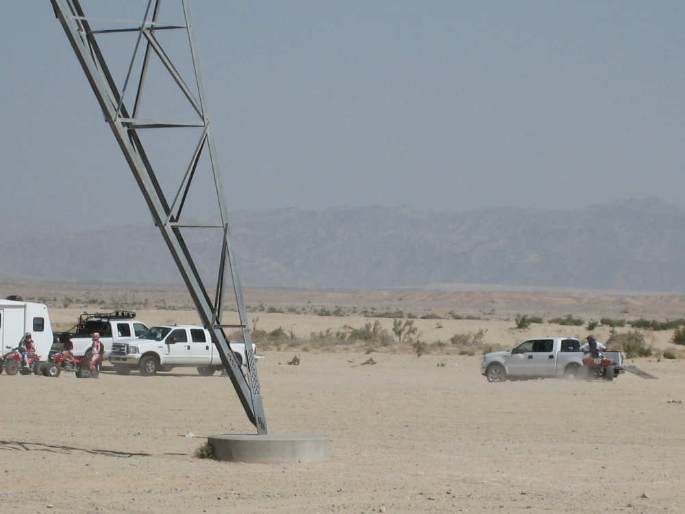
OHVers ready to play |
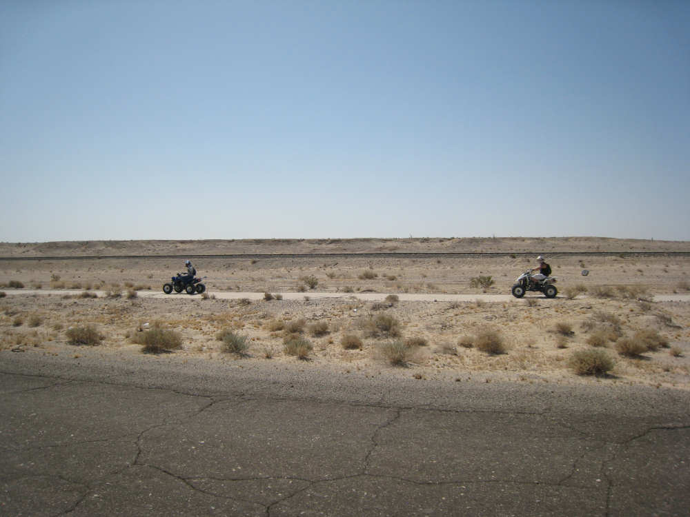
Two OHVs scoot by us on the opposite side of the road |
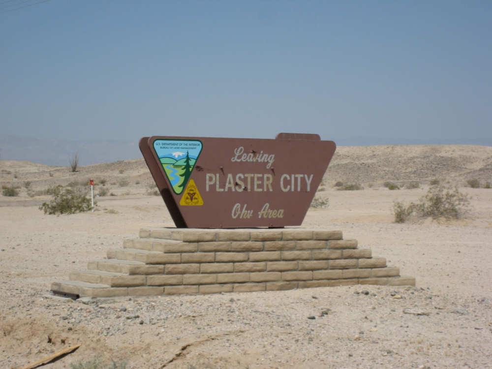
The edge of Plaster City |
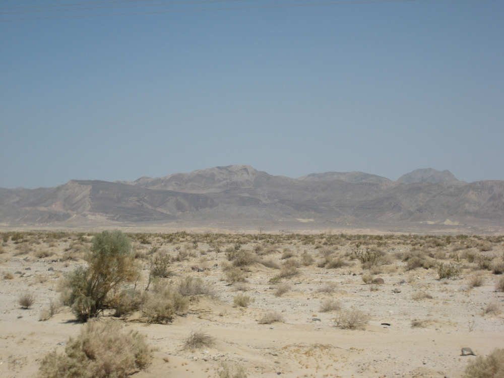
We begin to approach the mountains |
Mountains behind the town of Ocotillo - they really were that hazy, maybe from dust |
A sign along I-8 which we were about to get on |
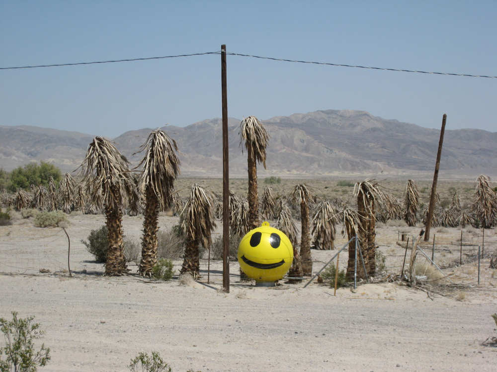
Don't know why this smiling face was out in the desert but we couldn't resist him |
I-8 to the left, the frontage road we were on, and Ocotillo to the right |
We don't think many drivers took this advice |
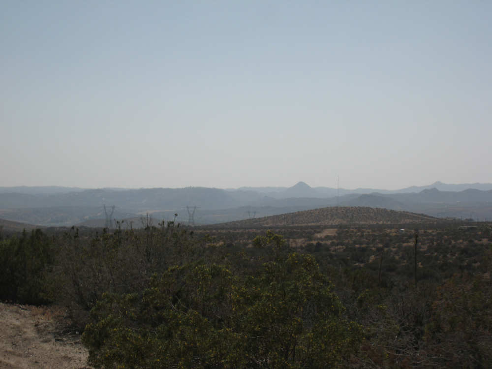
Looking back from I-8 to the flat areas we were leaving behind |
We start climbing - at least the road was nice and smooth |
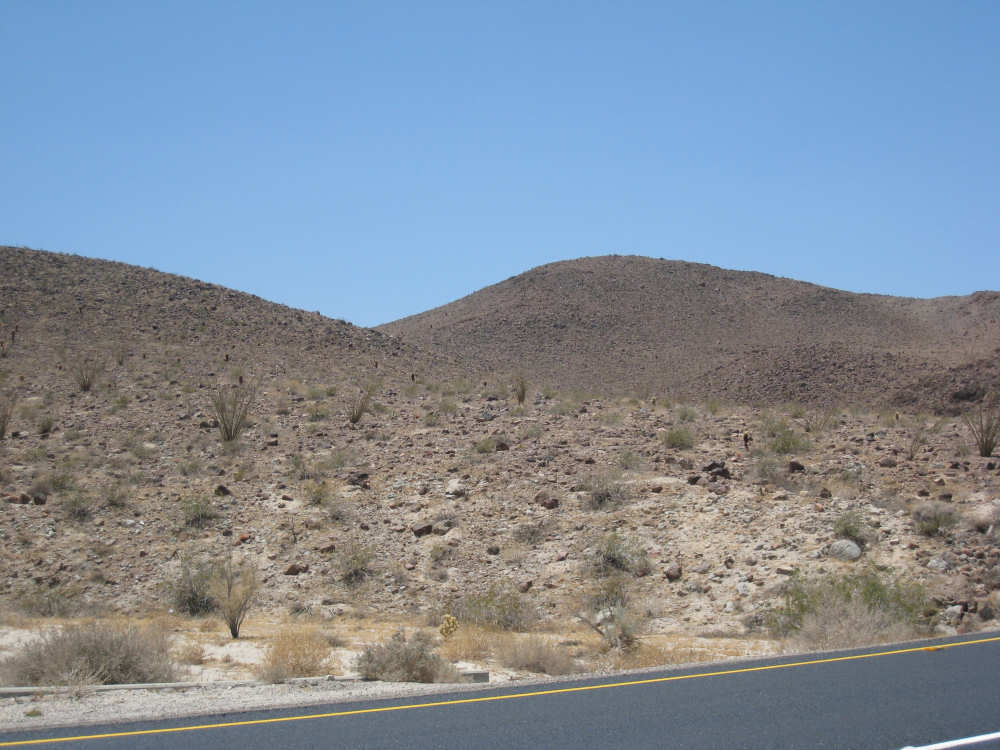
Round hills with some desert plants |
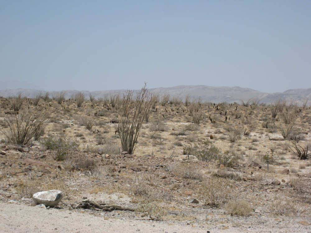
A field of Ocotillo plants, from which the town got its name |
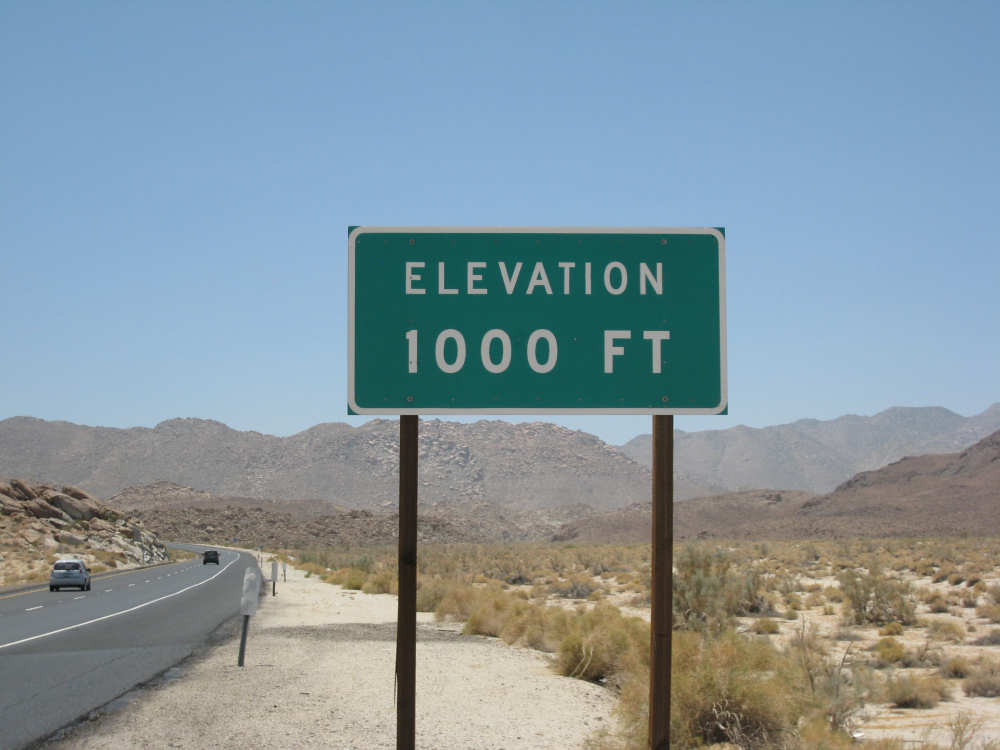
From below sea level to 1000 feet by mile 31 |
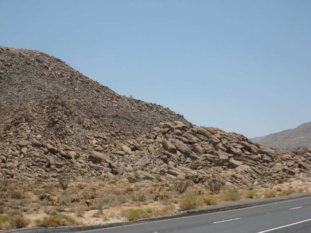
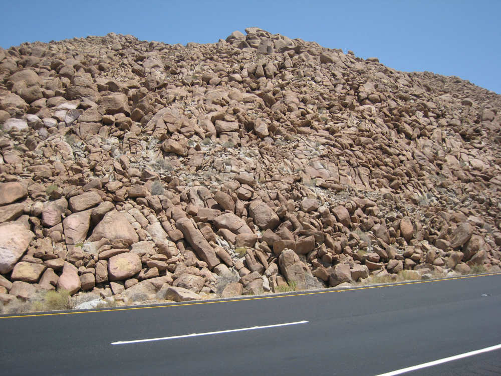
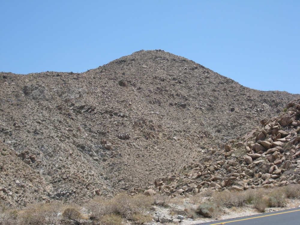
The mountains all seemed like big piles of rocks |
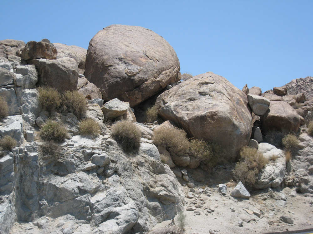
A few of the rocks, close up |
|
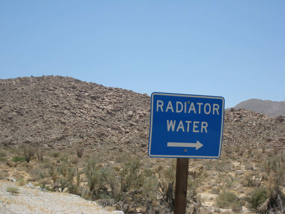
I-8 had cisterns of water for overheated radiators every so often |
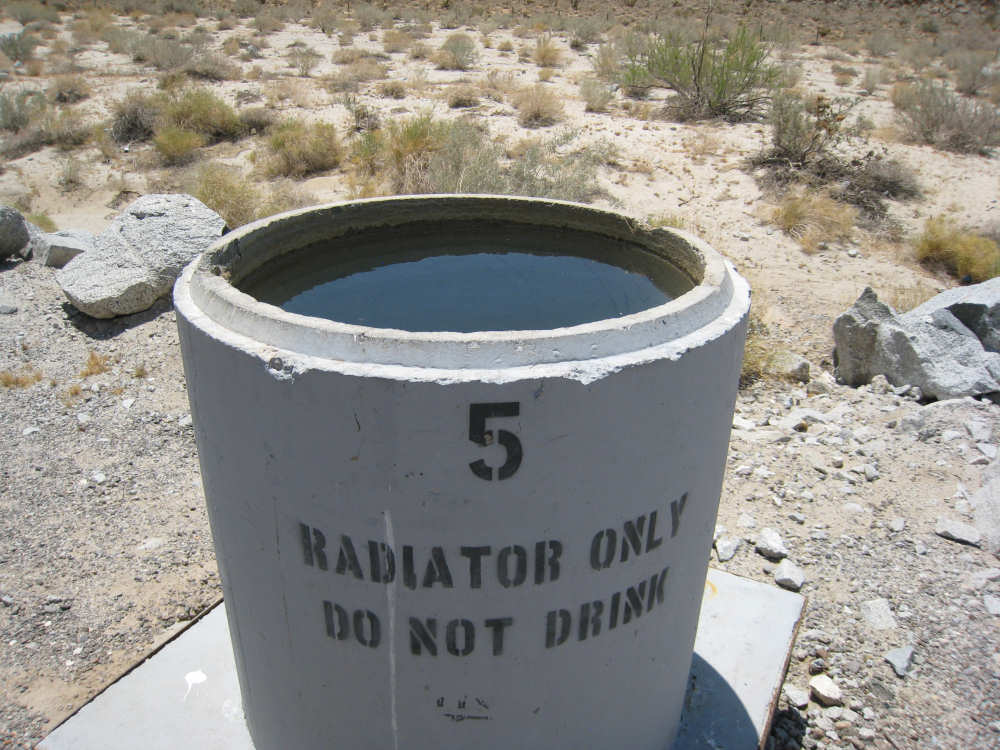
We were surprised to find them full |

Pat resting the bike after a few miles of climb |
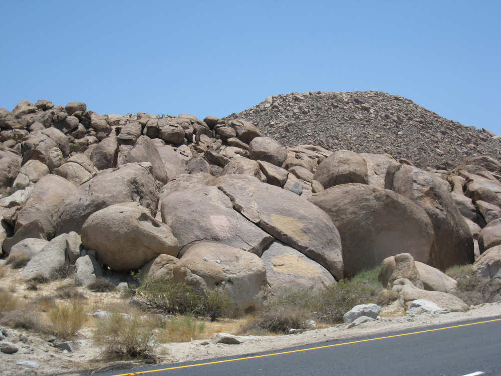
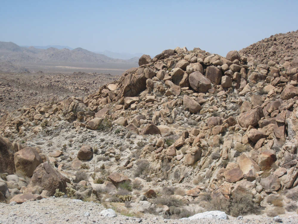
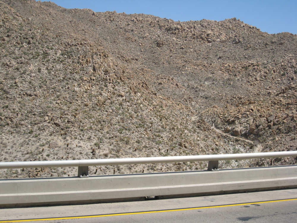
More piles of rocks |
|
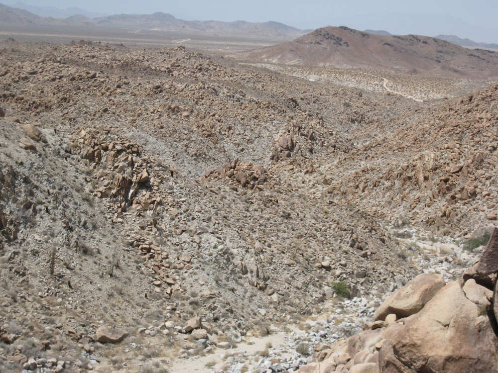
A deep rocky canyon called Devil's Canyon |
|
Some of the mountains were quite tall |
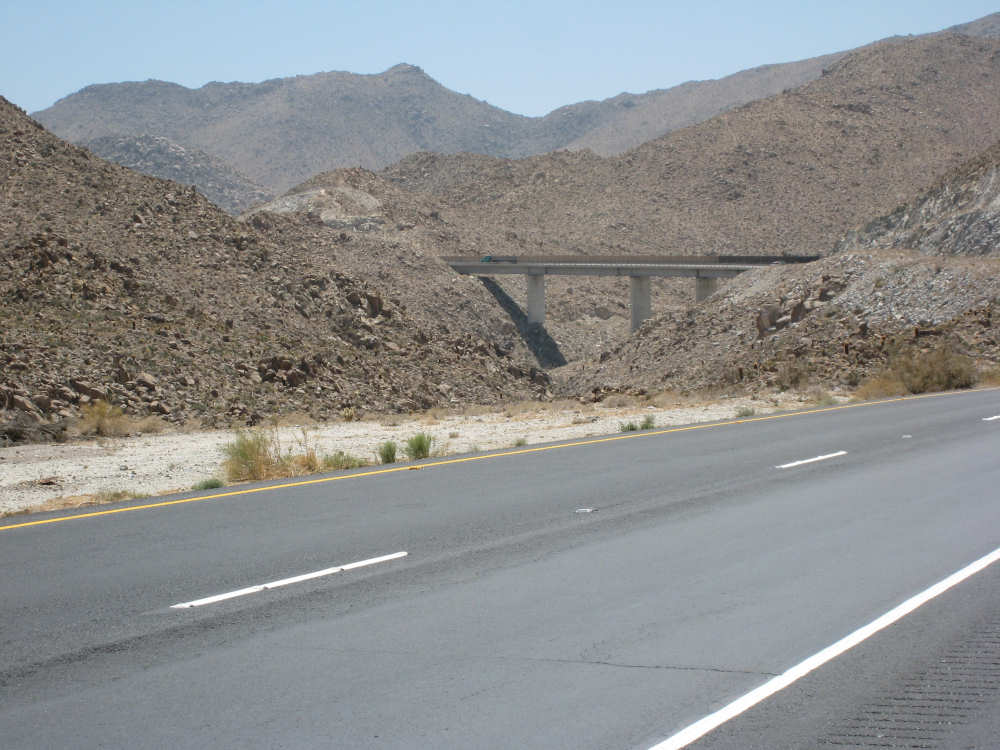
The bridge over another end of Devil's Canyon |
A walking trail near the bottom of the canyon |
We hit another 1000 feet by mile 34.5 |
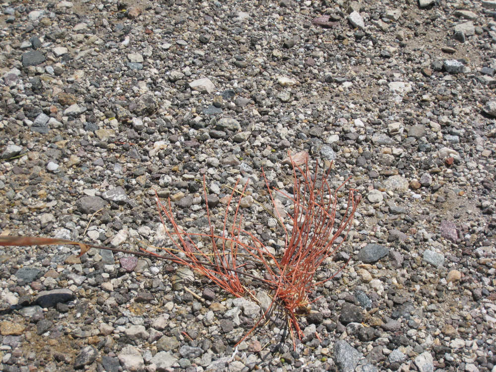
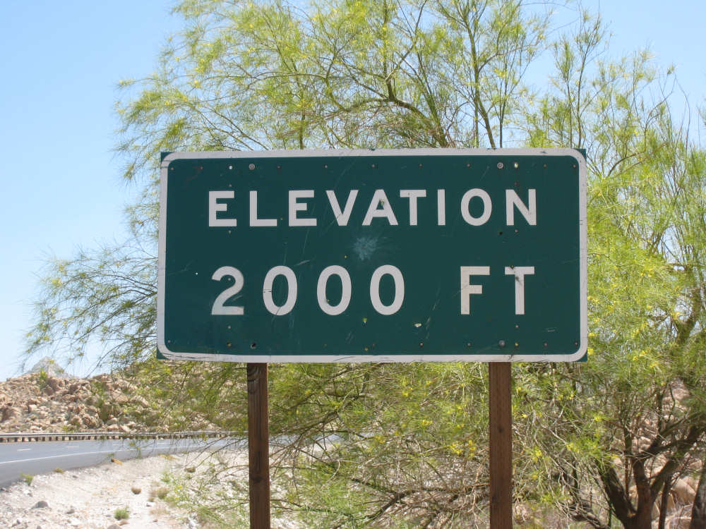
I saw this tiny but colorful plant by the 2000 feet sign |
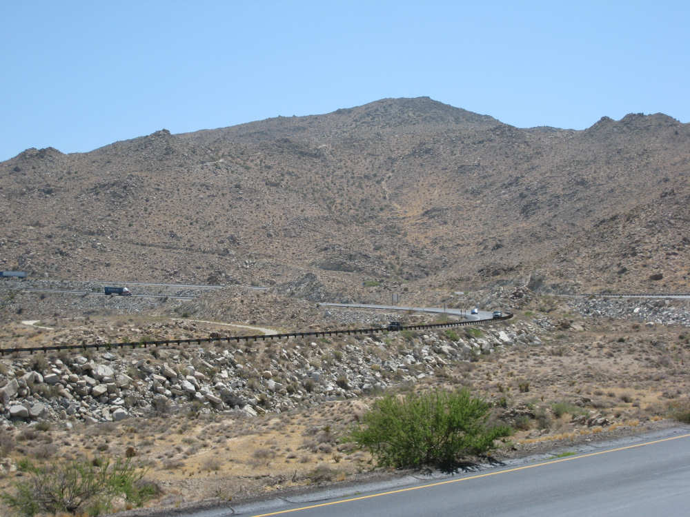
I-8 zigzags up and down the mountain |

A 70-foot stone lookout tower built between 1922-1928 |
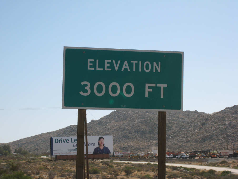
And our last 1000 feet, at mile 37.7 |
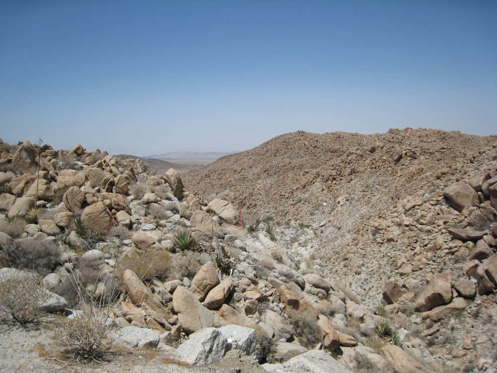
Coming down again on Old Highway 80, we see this lovely view |
The desert here seemed quite different, lusher |

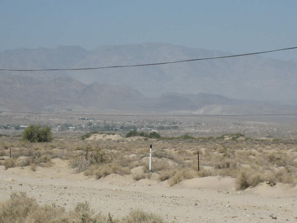
We approach the town of Jacumba and see farm fields again |

Sprinklers were spraying over some of the fields |

We enter Jacumba on historic Rt. 80 |
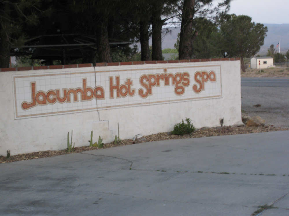
We thought the name was pretentious at first, but it turned out to be true |
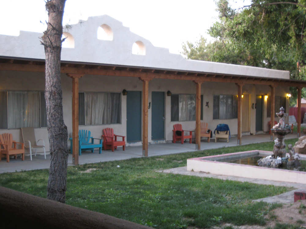
One side of motel rooms |
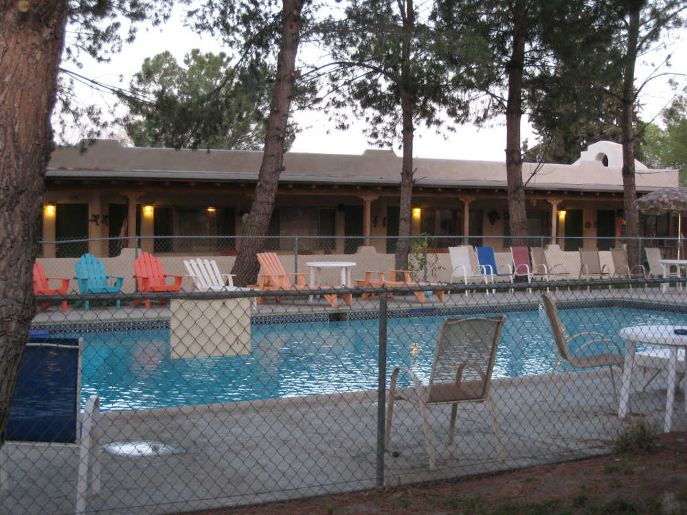
The pool, which was enjoyed by several guests and locals |
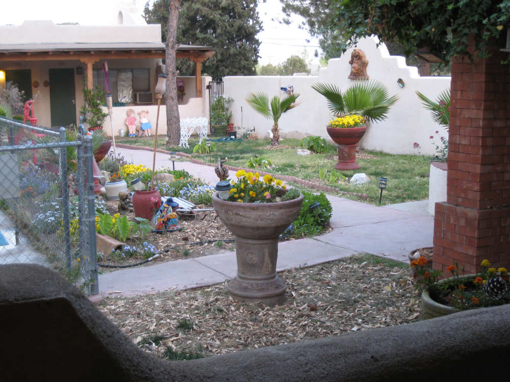
A small garden at the end of the pool |