Sunday, May 11, 2008
Jacumba, CA to Alpine, CA
47 miles (3675 total miles)
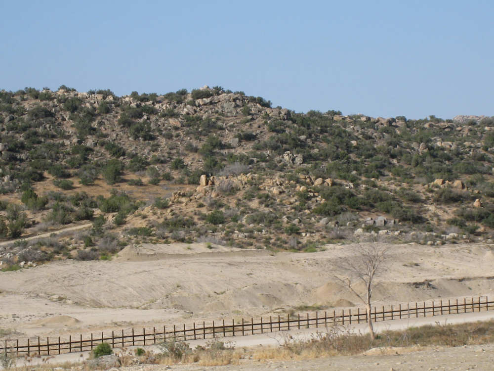
We had another late start today (8 am), but mostly because we hated to leave our comfortable motel in Jacumba. We headed off again on Old Highway 80, enjoying the quaint little town of Jacumba and the beautiful scenery along the road. The hills were still very rocky, like they were yesterday, but the terrain was much greener and lusher. A lot of the rocks we saw early in the day today looked sand-encrusted, giving them an interesting texture. The views were exquisite as we did a lot of climbs and descents today, unlike the one big climb yesterday. We were very close to the border of Mexico, but couldn't really tell where the border was from the road we were on. We saw a lot of Border Patrol cars again today and went through a checkpoint later in the day, but were waved through without any questions asked (they did ask us if the wind was slowing us down any on the hills, though).
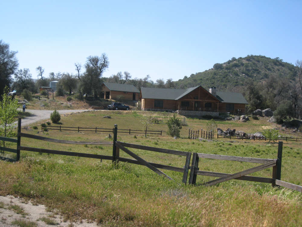
We started off with a 500-foot climb out of Jacumba, passing many houses and ranches nestled in the hills. We passed some of the sites we had heard about at the motel. Mt. Jacumba, an extinct volcano, was nearby, but we weren't sure which mountain it was. We saw the remains of a 'haunted' fireplace from an old inn that had been frequented by old movie stars, whose spirits are said to return on certain moonlit nights. At the top of this climb, we had a nice view of mountains ahead, including one with a row of windmills across the top of it. We later came upon those windmills and got pictures closer up. Then we had a short but sweet descent and went through McCain Valley, where there were lush pastures and a Wildlife Management area. We also came to the little town of Boulevard which had a delightful restaurant, the Salsa Linda, where we stopped to use the bathroom and ended up having delicious peach smoothies. There were a number of cute shops in Boulevard as well. From there, it was back up again, this time a long, 1000-foot climb with a small dip in it. In the dip was another little town, Live Oak Springs, where we saw the windmill farm. The town lived up to its name - there were oak trees everywhere. We went through a bit of the Campo Indian Reservation, and shortly afterwards, the La Posta Indian Reservation which had a casino, the Golden Acorn. We reached a high point of a little over 4000 feet soon after Live Oak Springs and began a nice, long descent. It was a fairly easy drop, for the most part, too, so we didn't have to brake much. Just before the bottom, we came across La Posta Diner and stopped for lunch. It was a nice little restaurant; we were surprised it did such a nice business out here in the middle of the hills. A lot of locals seem to enjoy traveling in the hills, by car, motorcycle and bicycle, it seemed. We saw a lot of motorcyclists, but also saw a number of bicyclists, a few of which we stopped to talk with.
After lunch, we were able to work up to another big ascent with a short gentle rise and drop first. The next 1000-foot rise was a little steeper than the first, and of course we were tireder and it was hotter. We had more of a breeze today than yesterday, so we managed to stay cooler, but it was quite hot when the breeze was still. We were going along parallel to I-8 on this stretch. Just before the top of this hill, we were passed (easily) by a young boy on his bike. We passed him when he stopped at the top, but he was soon joined by his father and older brother and the 3 of them passed us again. It was rather lucky that they did, though, because they made the turn we might have missed had we not seen them do it. Then there was a wonderful 500-foot drop into the town of Pine Valley. We whizzed through the town, the largest and most prosperous town we'd been through in a while (population 1,500). We would have had to brake hard at some intersections had the townsfolk not been understanding and waited for us to go flying by. As it was, we didn't stop until we were all the way through town and started yet another climb on the other side. This was our final climb, less than 500 feet, and took us around the edge of Guatay Mountain (elev. 4885) and through the tiny towns of Guatay and Descanso. We got onto I-8 for a 3.5 mile stretch (between 2 exits) of almost continuous 6% downhill grade - exhilarating but a little nerve-wracking as well (at least for one of us). We turned off of I-8 onto Alpine Road nd continued a long, slower descent into the town of Alpine.
We reached our motel in Alpine at 4:15, starting and ending at almost the same times as yesterday. We did a few more miles today (46.6) than yesterday, in less bike time (5-1/2 hours) for a much better average of almost 8.5 mph. We had a special treat tonight as well. We were taken out to dinner by a woman, Marieke, who had heard of our trip on my college bulletin board. She and her husband, Jim, live in the San Diego area and have a tandem, which they don't ride much these days, but they also put us in touch with the San Diego Tandem Club. If we can find each other somewhere near the Mission Beach area in San Diego, we'll ride with another tandem couple, Carolyn and Hank, for a bit tomorrow. We'll end up in La Jolla (which we've heard is Spanish for The Jewel), at the house of Stu and Colleen Patton, Stu being a cousin of Pat's mom. Tuesday will be a rest day, during which we have to do a little more research before starting out on the Pacific Coast leg of our trip. Since we didn't think to get a picture of Marieke and Jim when we went out to dinner, we asked them to send us one, so we've added a picture of them from their recent trip to Bhutan and India.
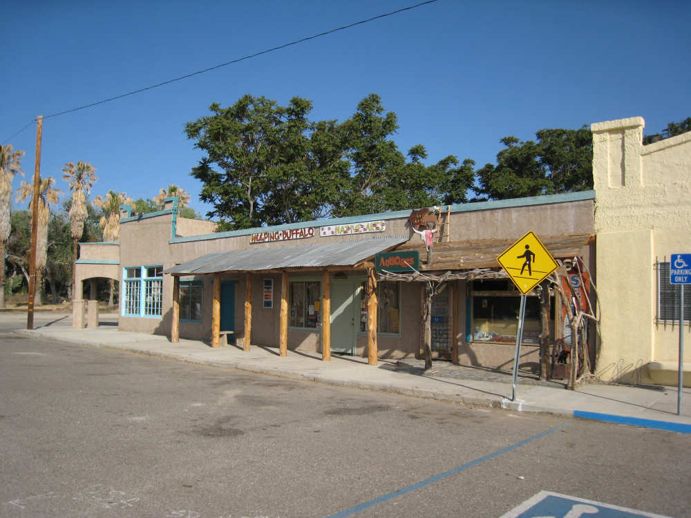
Quaint little shops in Jacumba |
|
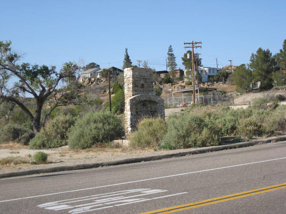
The haunted fireplace where long-dead movie stars still party |
Mount Jacumba? |
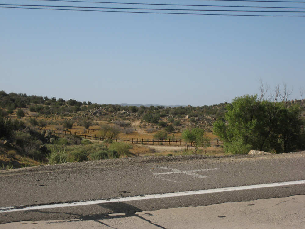
The lush terrain outside of Jacumba, looking towards Mexico |
|
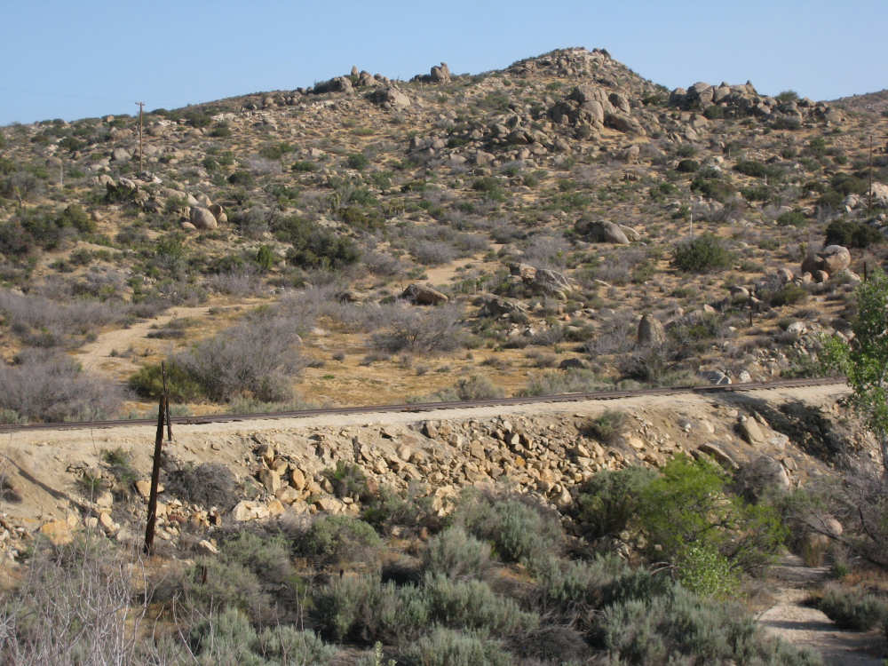
Rocky hills and a railroad, just outside of Jacumba |
|
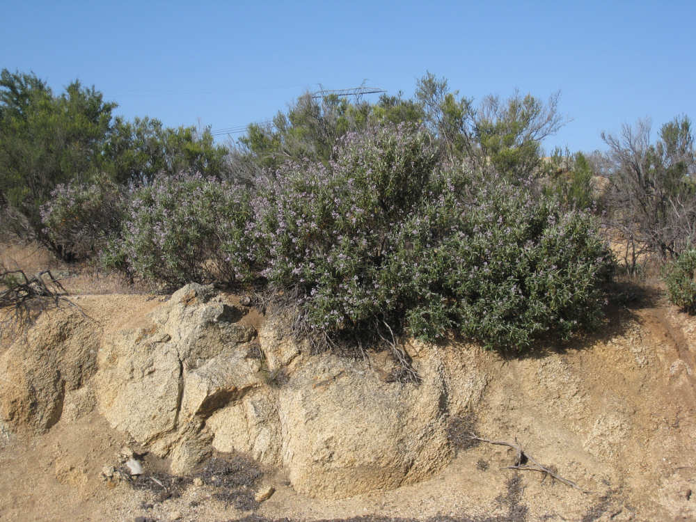
A lovely bush with purple flowers growing out of sand-encrusted rock |
The view from the top of the first hill - windmills barely visible in the distance |
Lush pastures and an odd mountain in the distance, at the bottom of our first descent |

Horses enjoying the pastures |

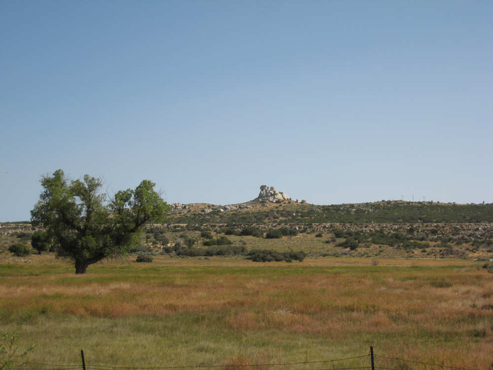
A very oddly sculpted rock coming into Boulevard |
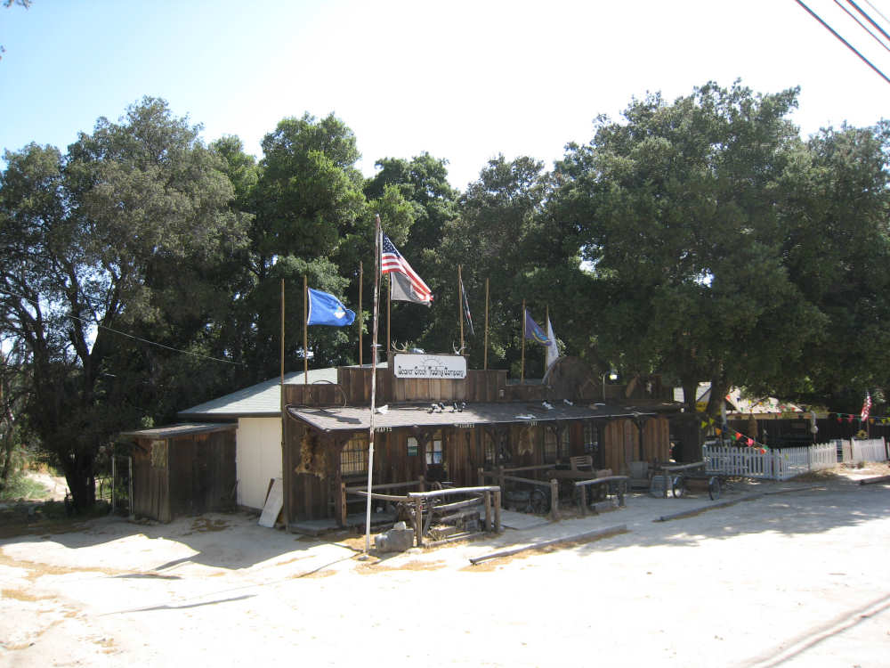
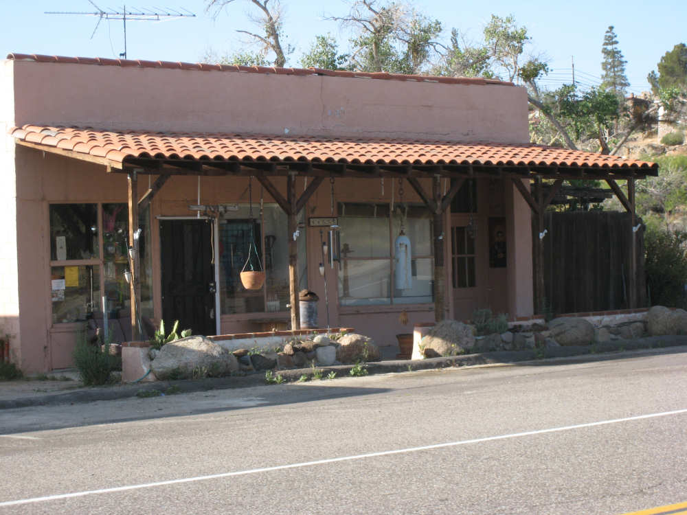
One of the quaint shops in Boulevard |
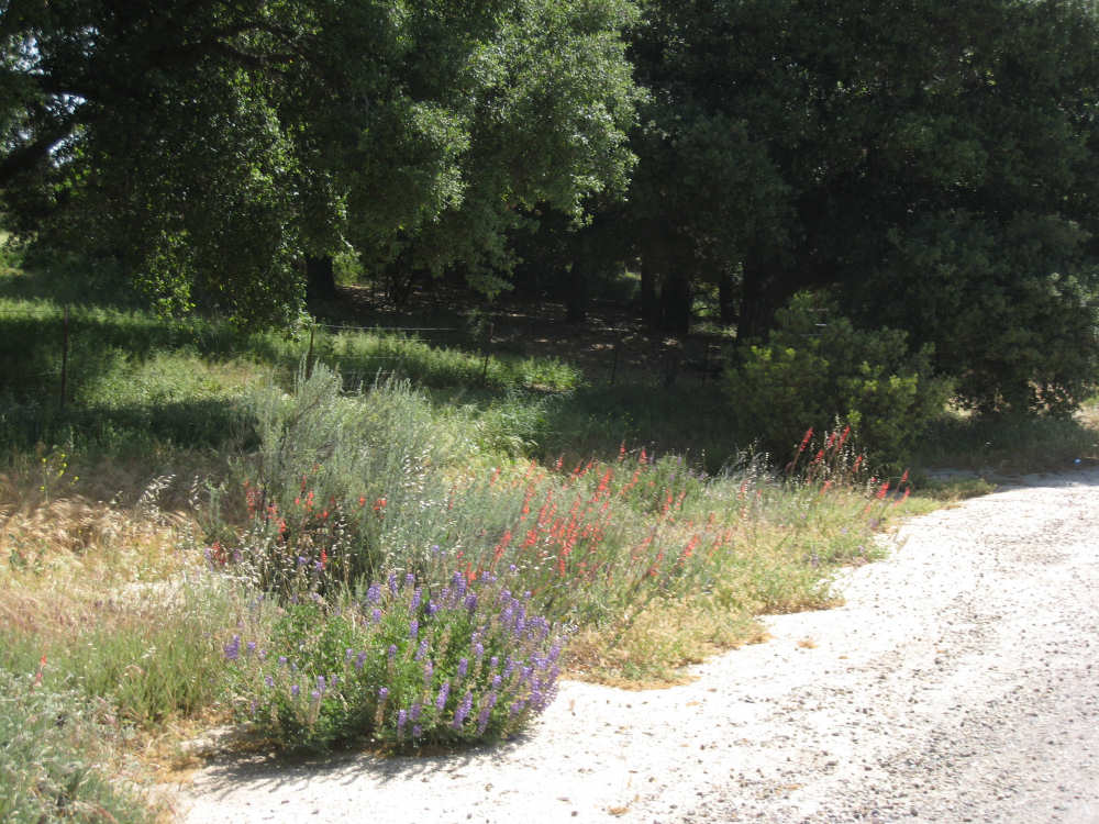
Pretty purple and red flowers along the road |
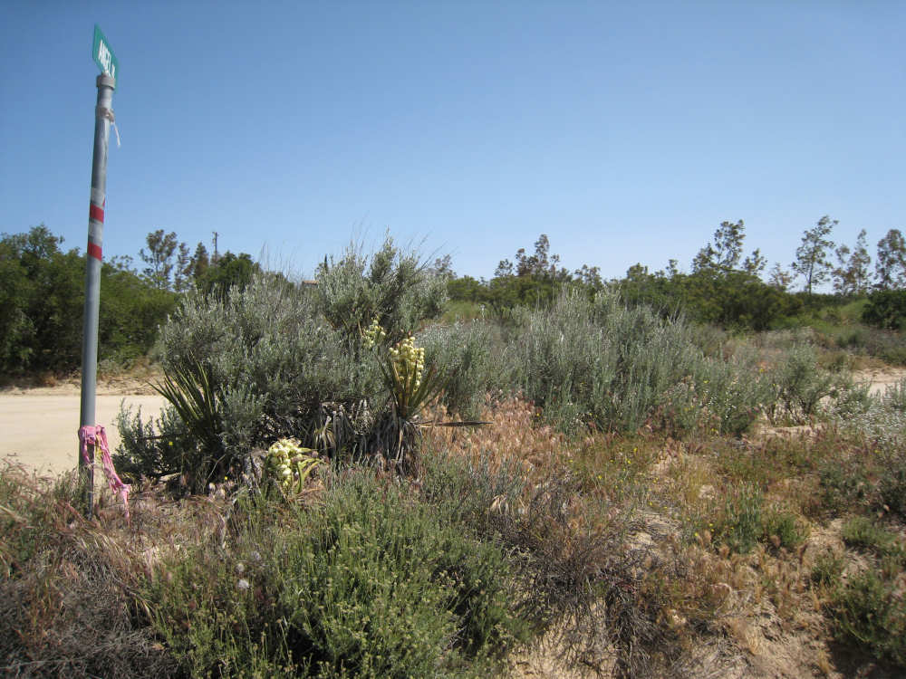
Lovely yucca flowers |

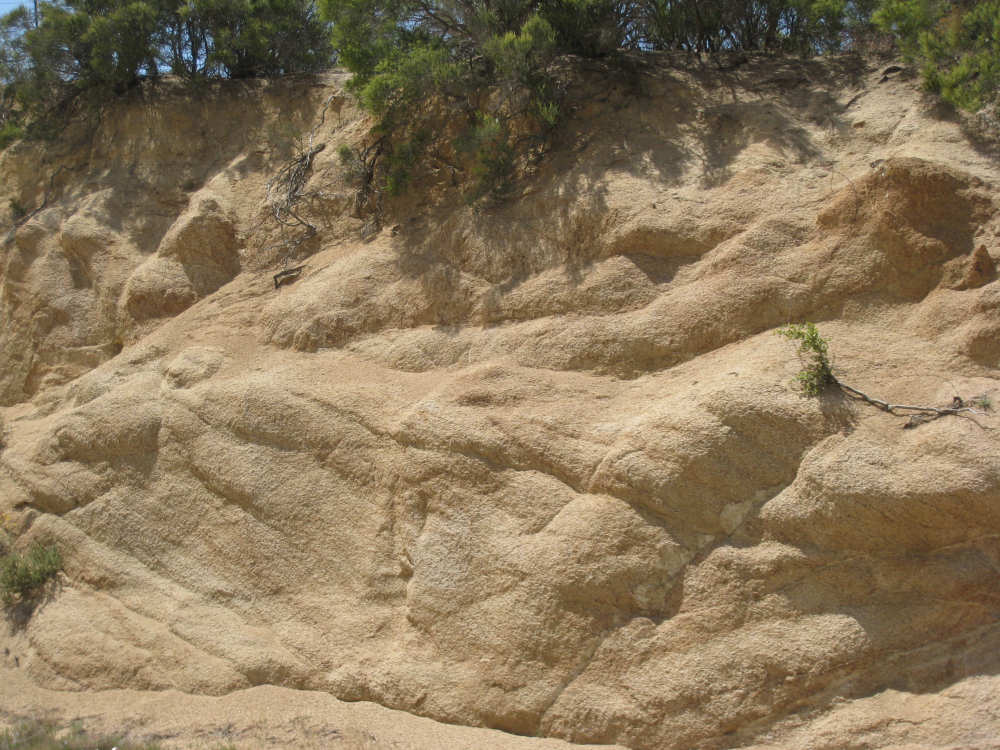
A closeup of the sand-encrusted rock |

Not quite at the top of the first 1000-foot climb, but close |
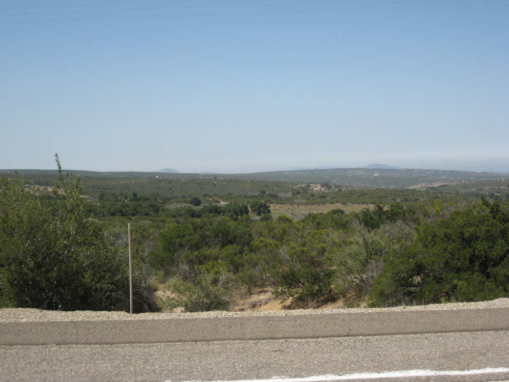
The view from the Tecate Divide, looking towards Mexico |
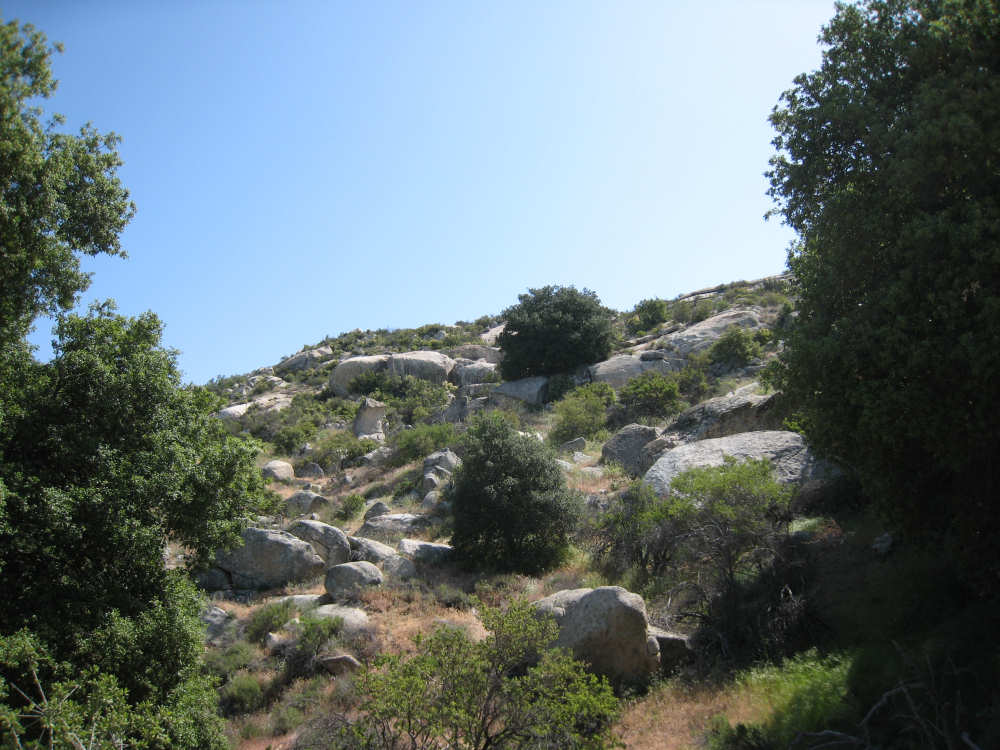
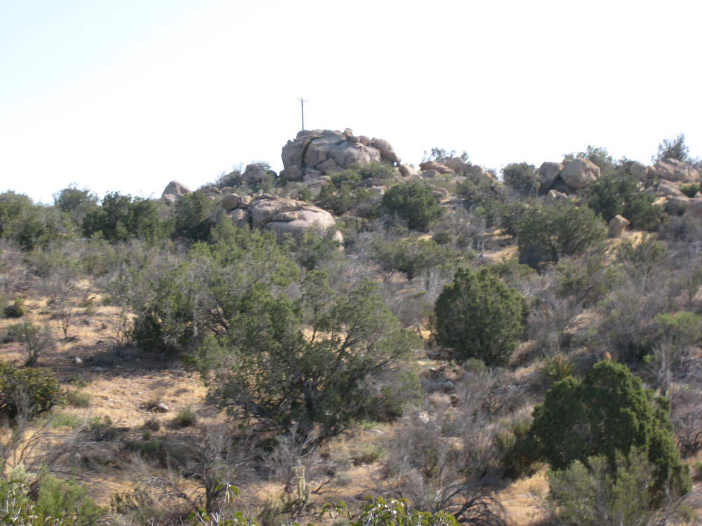
The boulders get quite large at Live Oak Springs |

|
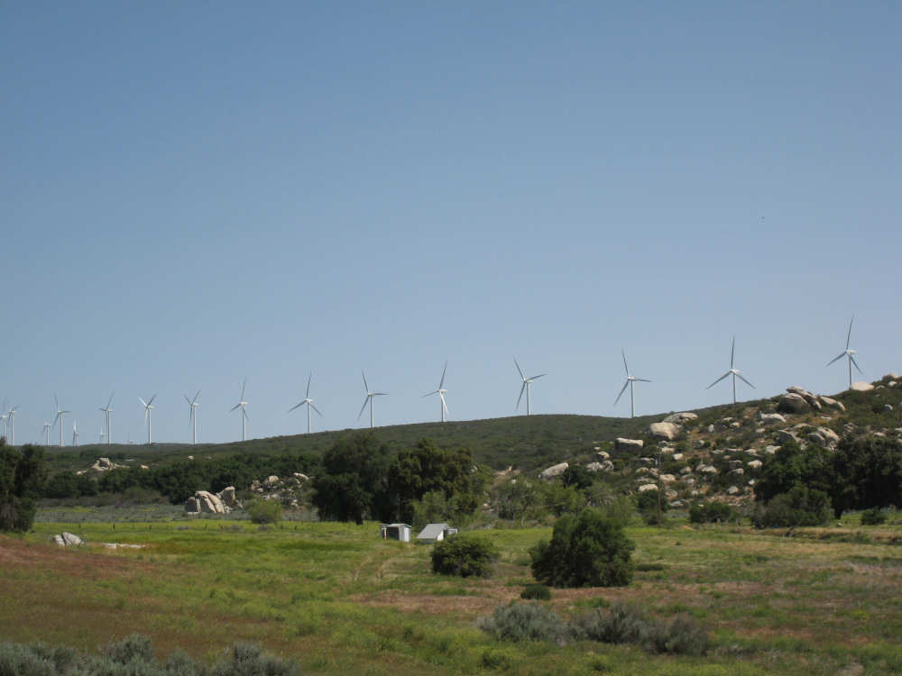
The windmill farm, up closer |
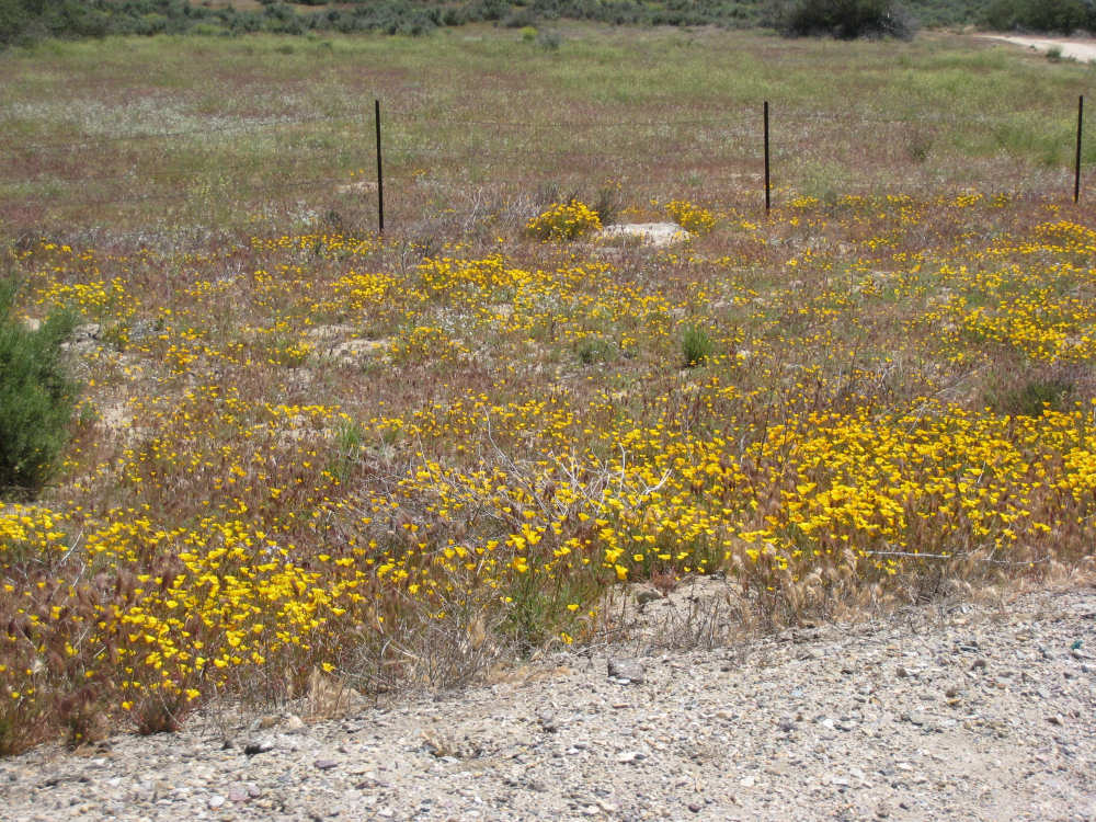
Patches of yellow flowers |
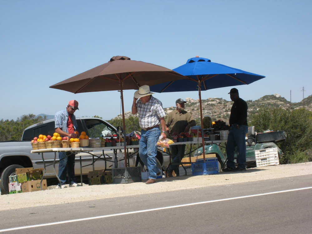
A fruit stand along the road |
More enormous boulders - we saw lizards darting around them |
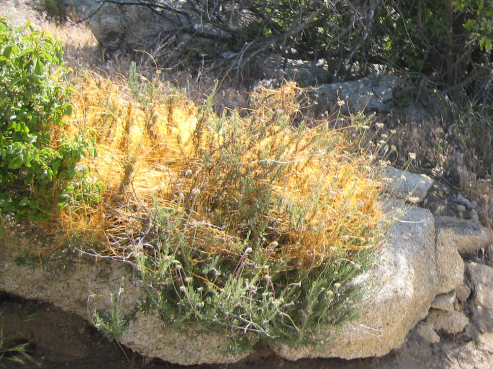
A strange light orange bush, like a mass of tangled hair but colorful |
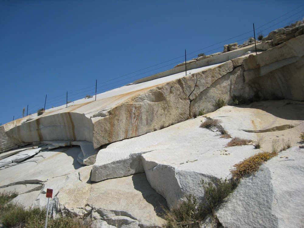
Impressive rock |

|
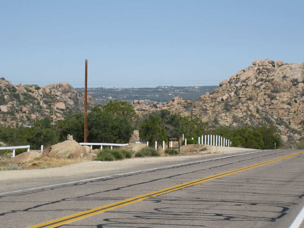
Starting the climb from La Posta, a mountain with a trail going up its side |
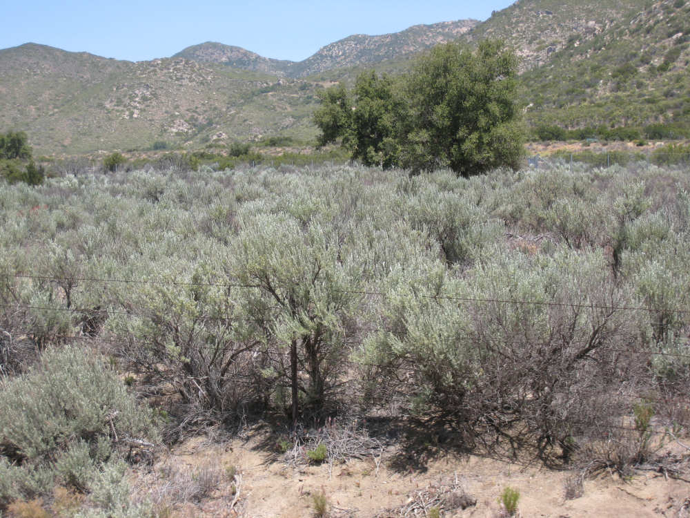
Bluish-green sage bushes |
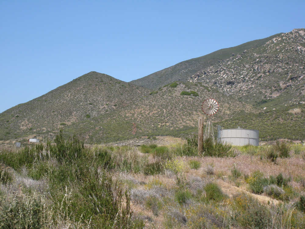
A windmill with a large water cistern, and tall mountains behind |
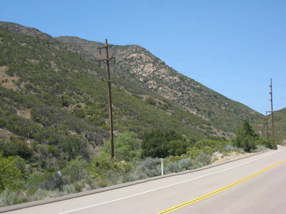
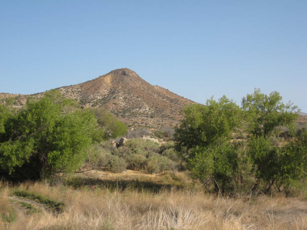
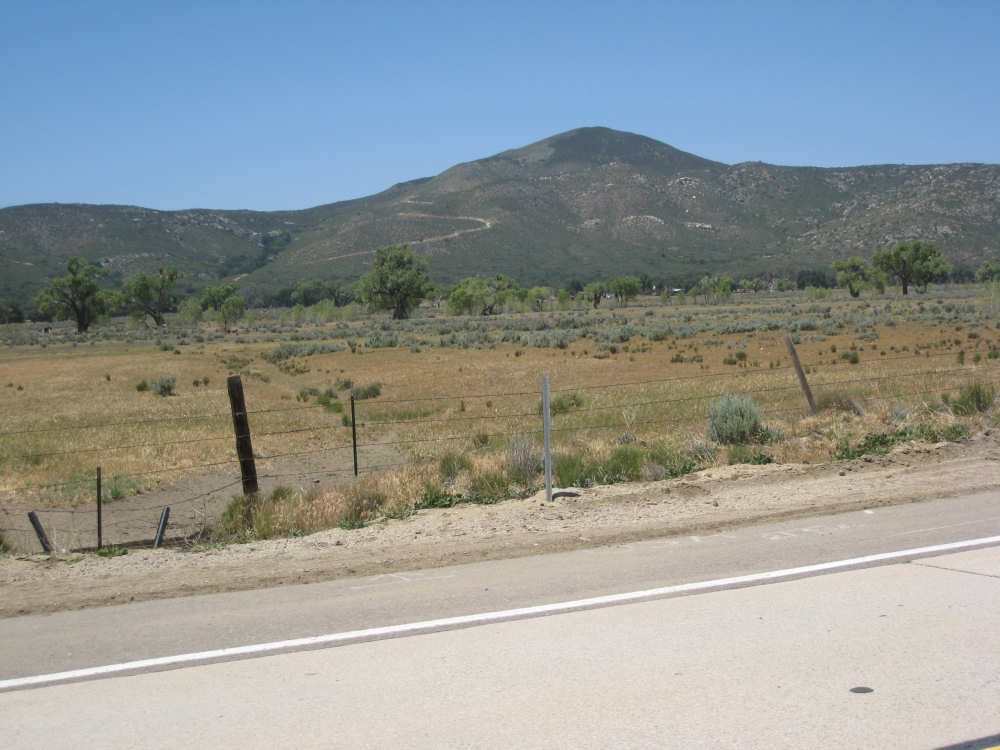
Very tall mountains |

Pat with a very big mountain behind him |
Downhill! but more up to go |
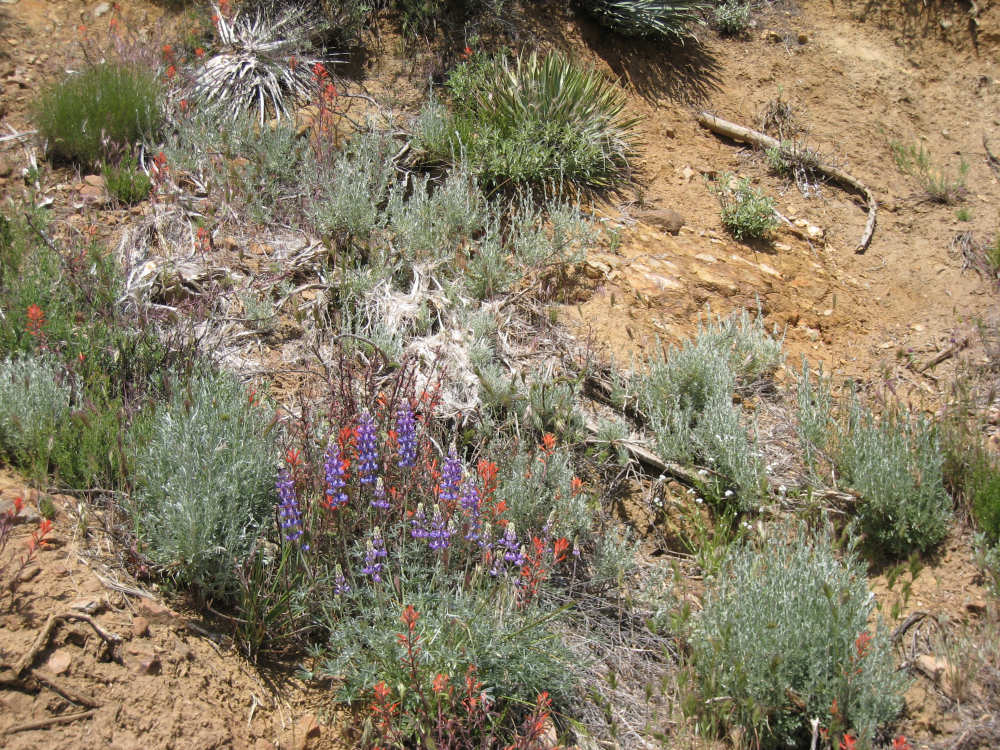
Pretty blue flowers and Indian Paintbrush on the way back up |

Green-covered mountains and blue sage |
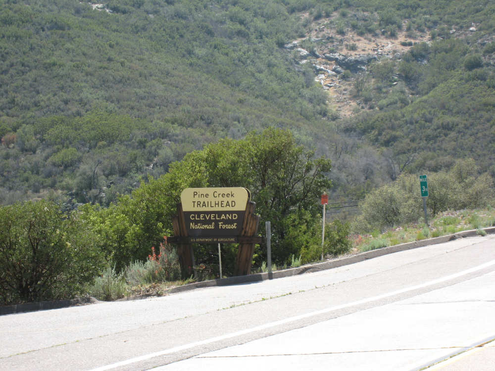
The Pine Creek Trailhead, going up out of Pine Valley |
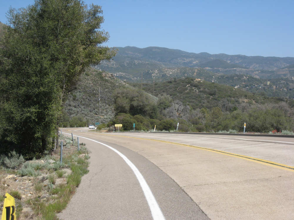
Looking back down the last hill |

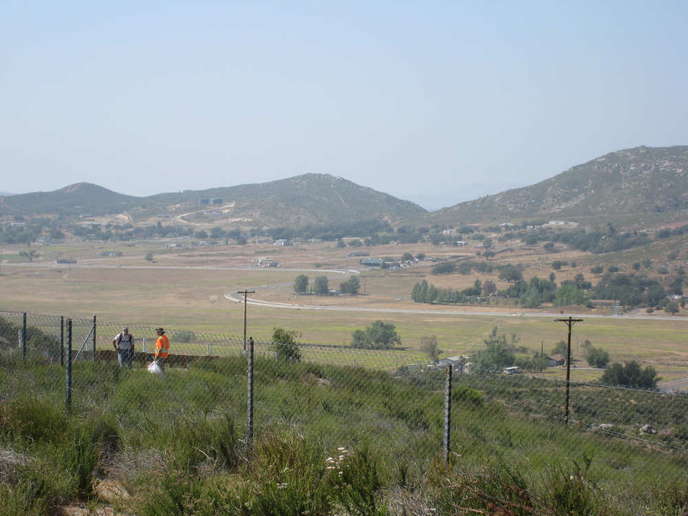
Pine Valley below and some of the road we've been on, carved into the hills |
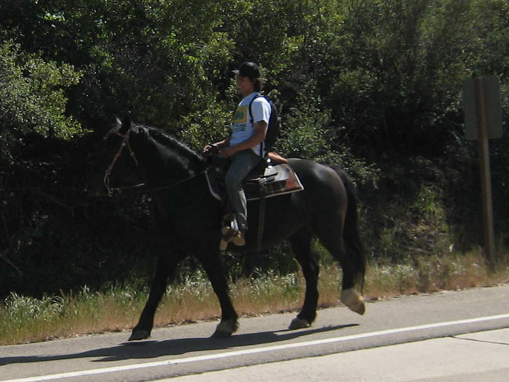
A young man saunters by on a horse |
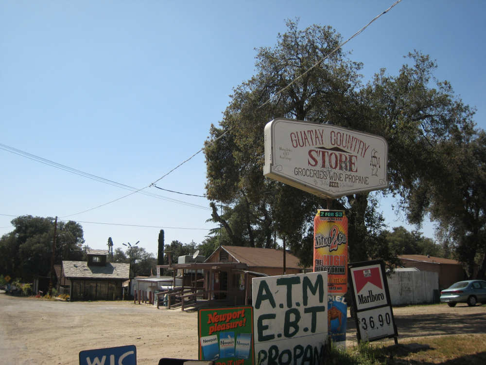
The little town of Guatay |

Guatay Mountain |

Mountains in the distance near the top of the last hill |
A home near the top |
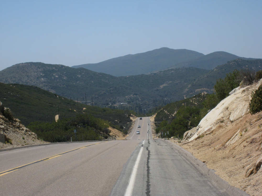
Looking into the valley from the top - it's all downhill from here! |

Marieke and Jim on their recent trip to Bhutan |