Tuesday, July 01, 2008
Umatilla, OR to Waitsburg, WA
73 miles (5498 total miles)
Sorry, fans, our posting is late because we didn't have an internet connection last night. Our 100th day of riding was somewhat eventful - it was cloudy and comfortably warm this morning, becoming increasingly cloudier until finally, about 30 miles into our trip, it started to rain. This was the first major rainfall we've had while riding since Atlanta, GA. There were a couple of days in Northern California when it started out misty or drizzly, but nothing significant. We got pretty wet, both from the rain and the road spray that soaked our feet, still it was better than being scorchingly hot. We didn't even wear our rain jackets for the first several miles, the rain felt so nice and cool. While we were stopped for a bite at our first town, Touchet at mile 37, the rain stopped too, but it started up again a few miles after we did. This time we put our rain jackets on to make sure we didn't get too cold. Later, we stopped in Walla Walla, mile 55, and it started to taper off. It remained cloudy and thundered and lightninged for a good while after that, and then the sun came out and it got quite hot again. This was in the middle of our biggest climb of the day - 30 miles of almost constant uphill, which while mostly at a gentle grade, going up to 4-5% max, got pretty tiring nonetheless. So, after making great time most of the day, the last 15-20 miles went very slowly. For the last 2 miles, though, we were treated to a nice fast downhill into town.
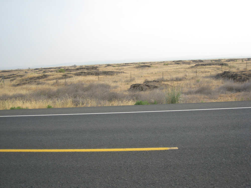
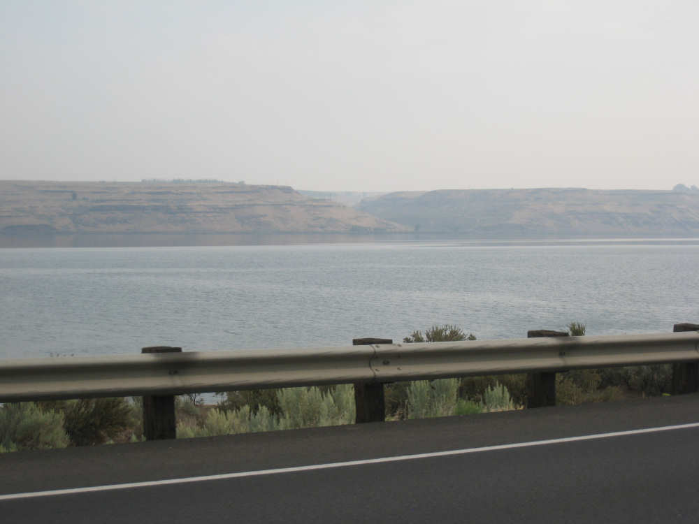
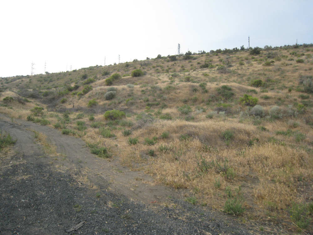
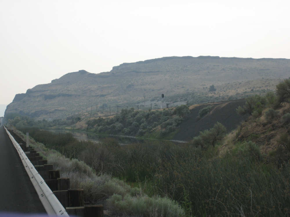
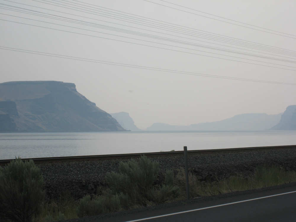
After that long weather report, I'll get to the more interesting highlights of the day. We left Umatilla about 7 am, passing through the same brown, flat, sage-brushy, Texas-style landscape we ended with yesterday. There were a number of wetland areas and some wetlands that were being restored. It was, unfortunately, so hazy that most of my early morning pictures, particularly those on the Washington side of the Columbia, are very faint. Most of the Washington hills were getting shorter and not quite as exciting anyway. The river was still gorgeous, though. We passed a couple of Lewis & Clark trail sites, including Hat Rock Creek, but they were down by the river. Our rule of thumb, especially on a long day like today, is that if it's not right by the road, it's too far to go see it, unless it's really, really special. Within the first 15 miles or so, the Oregon side began to get hillier again, with a lot of the basalt cliffs we'd seen before and also some rounder, brown-grass-covered hills much like the Washington side hills had been. This made for some very exciting scenery. We had been following the river as it curved northward, and at about mile 20, we reached the point where we would leave Oregon for the final time. Oregon gave us a lovely goodbye sign and Washington gave us her official welcome, although we'd already dipped into the state a couple of times. We're already near her eastern edge, too, and will spend only 3 nights here, one tonight in Waitsburg and the other two (including a rest day) in Clarkston, right at the Idaho border.
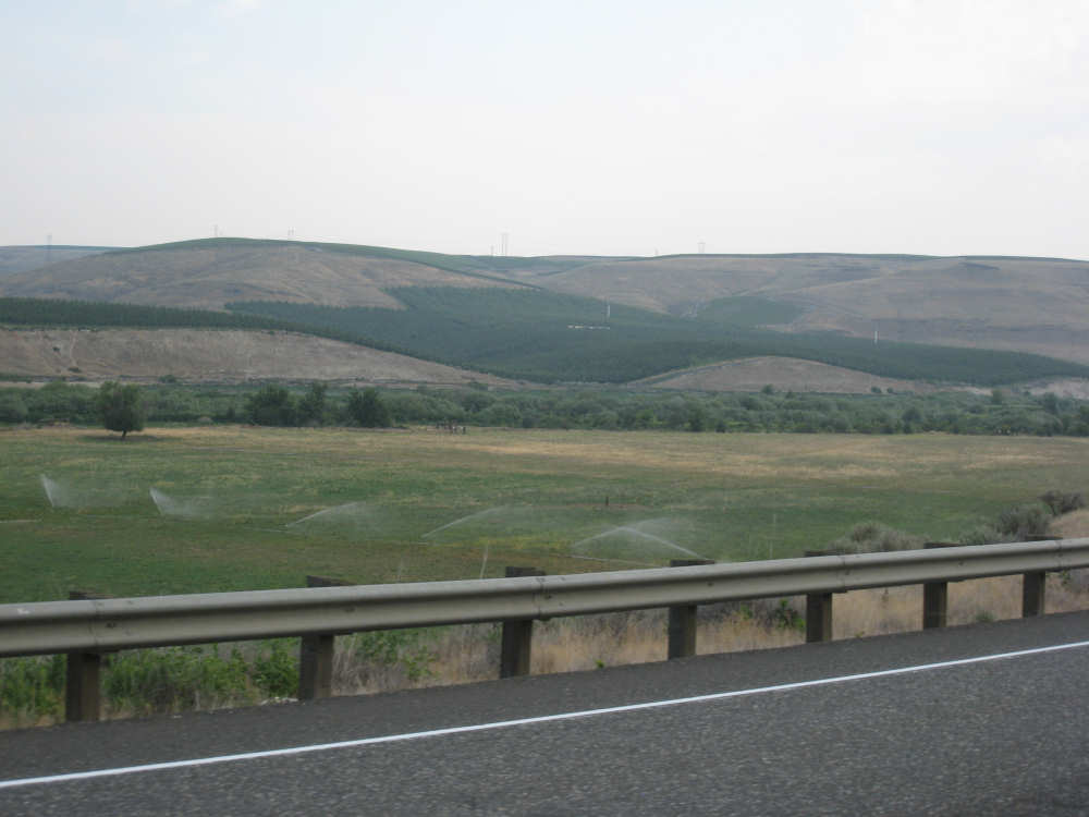
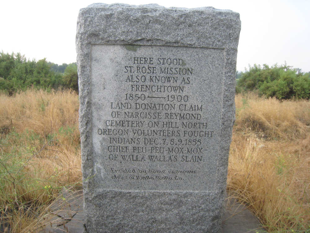
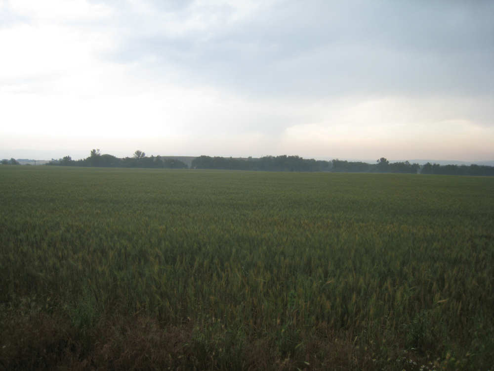
About 6 miles later, we veered to the east to get on US Rt. 12 and said farewell to the Columbia River, too. Here we followed the Walla Walla River for a bit. The terrain was still mostly brown, rolling hills, but we began to see many irrigated crop areas. Sprinklers were going like mad in the valleys and even the hillsides. Most of the crops were hay or grapes - there were a number of vineyards and several signs promoting Washington as Wine Country. Onions were also a big crop and we saw many roadside stands with big bags of Walla Walla onions in the towns we passed through. Then it began to rain. We passed through the small town of Touchet, stopping only for something to eat, and the even smaller town of Lowden, not really able to take any pictures, but not seeing much of interest anyway. We passed a couple of historical markers which we photographed and signs for the Whitman Mission (again, too far off-road). Apparently, the Whitman Mission has a terrific museum, though, with restored wagons and artifacts from the Oregon Trail days when pioneers took the arduous journey out to the Northwest Territories. The mission is named after Marcus and Narcissa Whitman, mentioned in one of the historical plaques pictured below. They spent most of their lives trying to bring religion to the Native Americans in the area and were eventually killed by them.
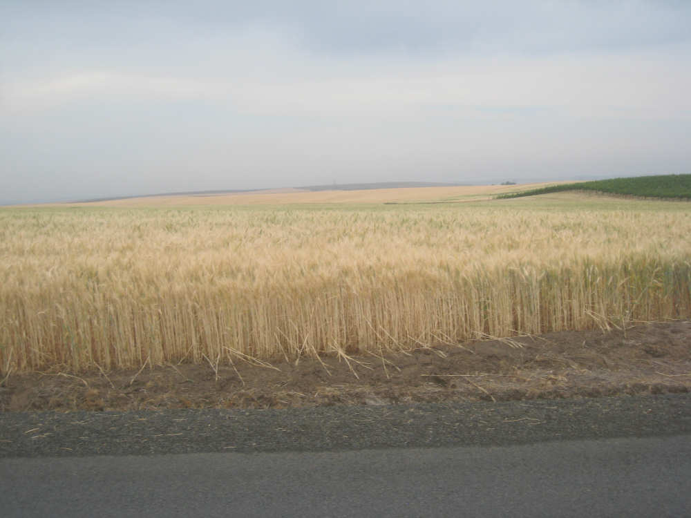
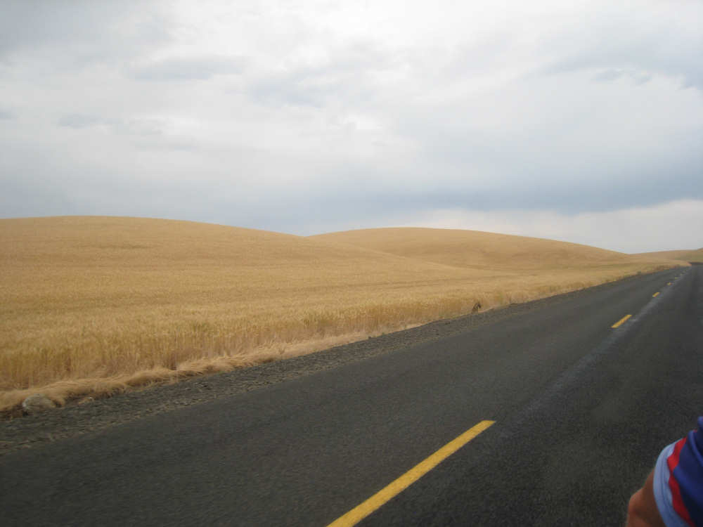
We went off Rt. 12 to pass through Walla Walla for lunch. We found out later that the couple we were renting a room from spotted us at our lunch spot in Walla Walla, where they were having lunch as well! After lunch, we got onto Middle Waitsburg road, which we were on for the next 17 miles. For the whole 17 miles, we saw practically nothing but rolling hills covered with wheat, as far as the eye could see, in varying stages of development - some just harvested, some just sprouting, some still partly green, but most a beautiful light golden color. It was truly remarkable to see. One of the things that amazed me was that the crops completely covered some fairly steep slopes; in a couple of places we saw signs about research being done there by the Washington State University on steep slope agriculture (in fact, we saw a team of students in one such area). This is the area where we had the hot, steamy, big-climb part of our day so it seemed to last forever, but the last mile or two, we zoomed downhill, coming back onto Rt. 12 at the end and then turning into the town of Waitsburg. The place we stayed was an antique store which also rented out rooms. The owners were very affable, told us they had seen us in Walla Walla, and mentioned that they were retired, too - the antique business was a hobby of sorts, and the rooms they rented had been restored by them out of the old building that housed their shop. We ended the day at 72-1/2 miles in 7-1/4 hours of bike time.

Early morning landscape on the Oregon side of the river |
A few rocks show up in some fields |
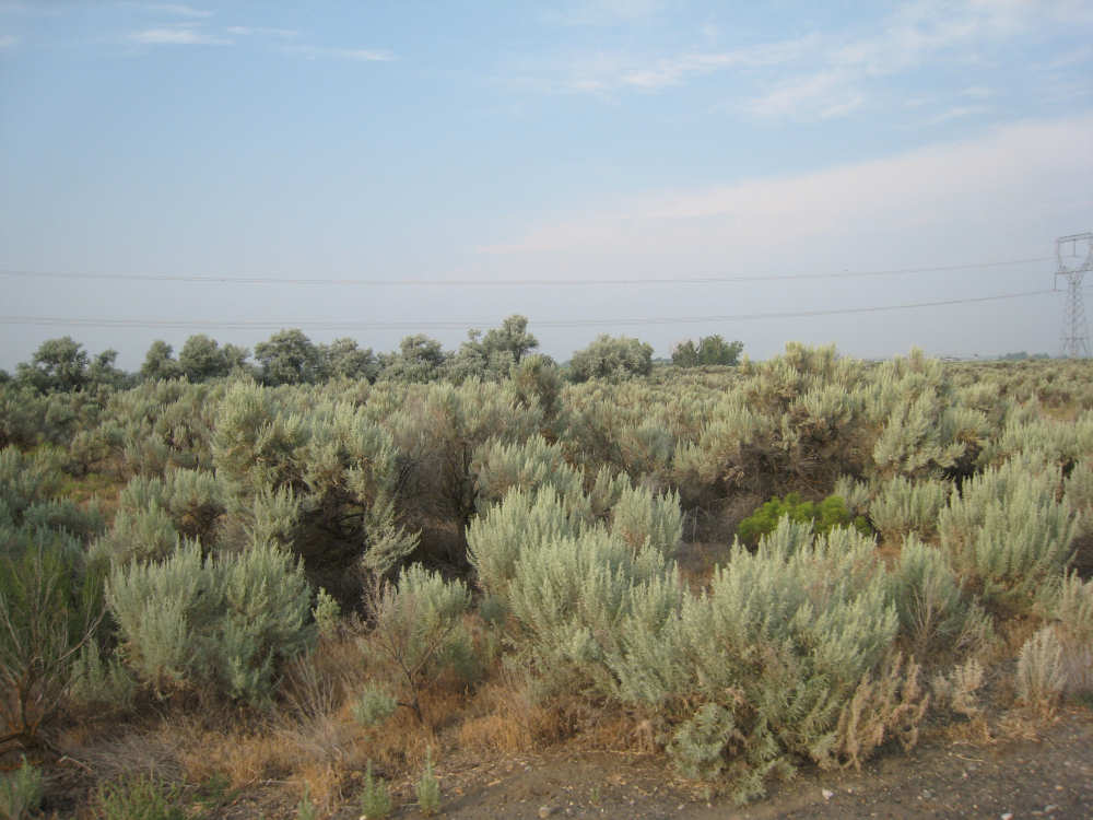
Sage brush and wetlands cover most of the land here |
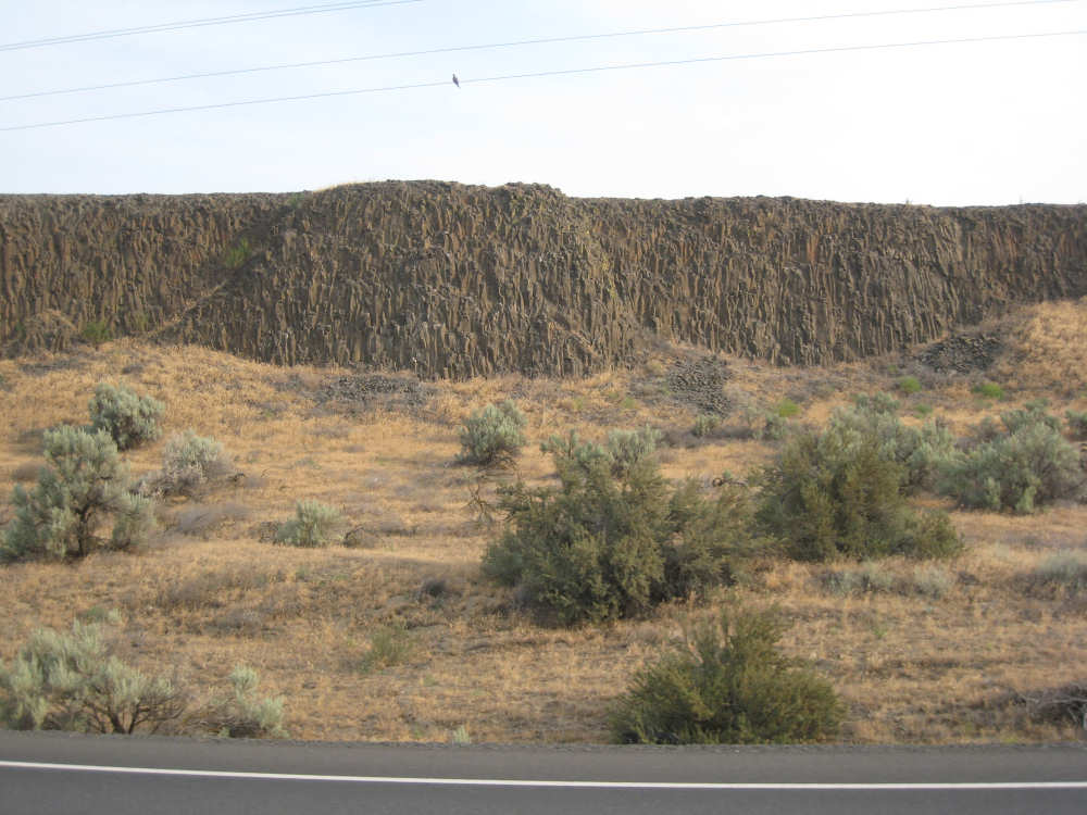
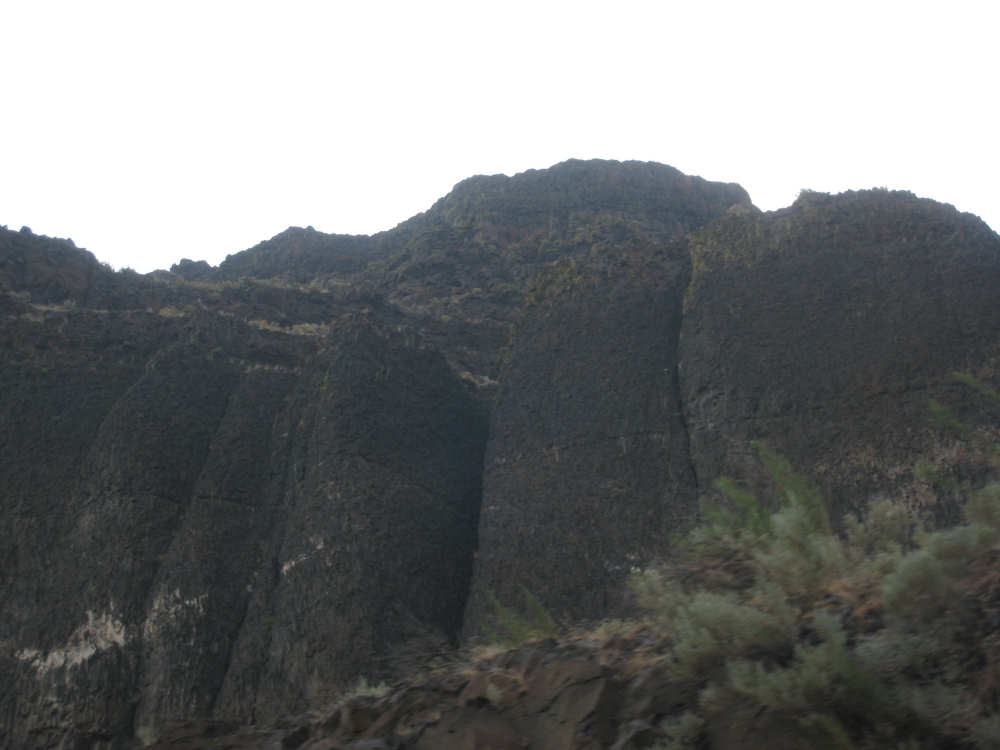
Some basalt cliffs start to show up again |
Hazy Washington hills appear shorter than they've been |
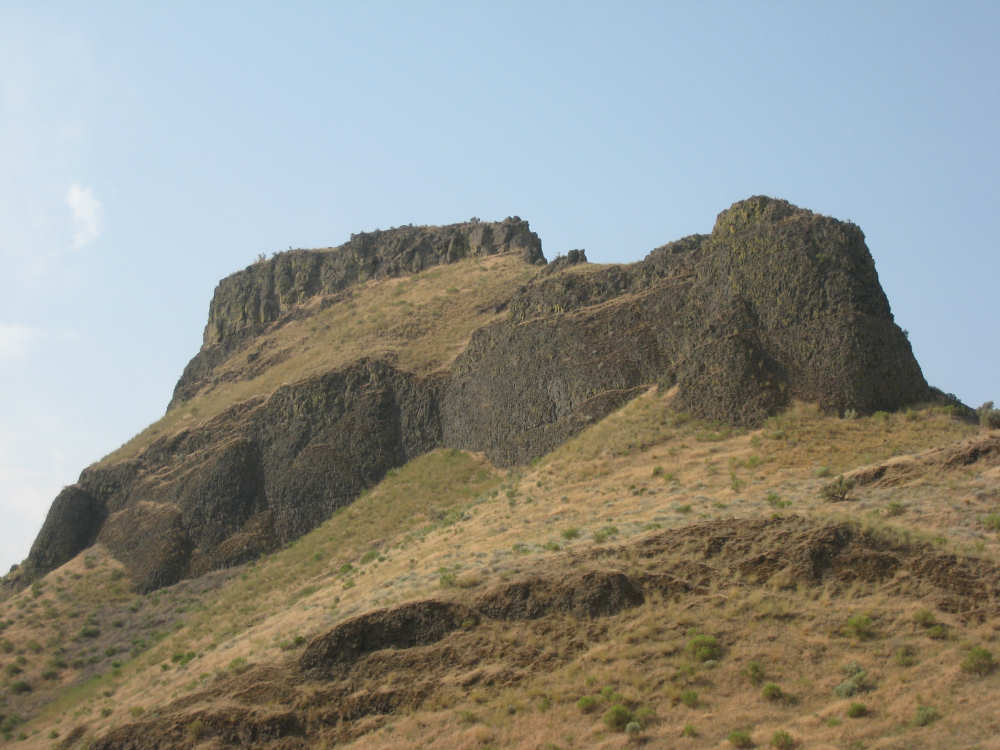
The Oregon side starts to get hillier... |
and hillier |
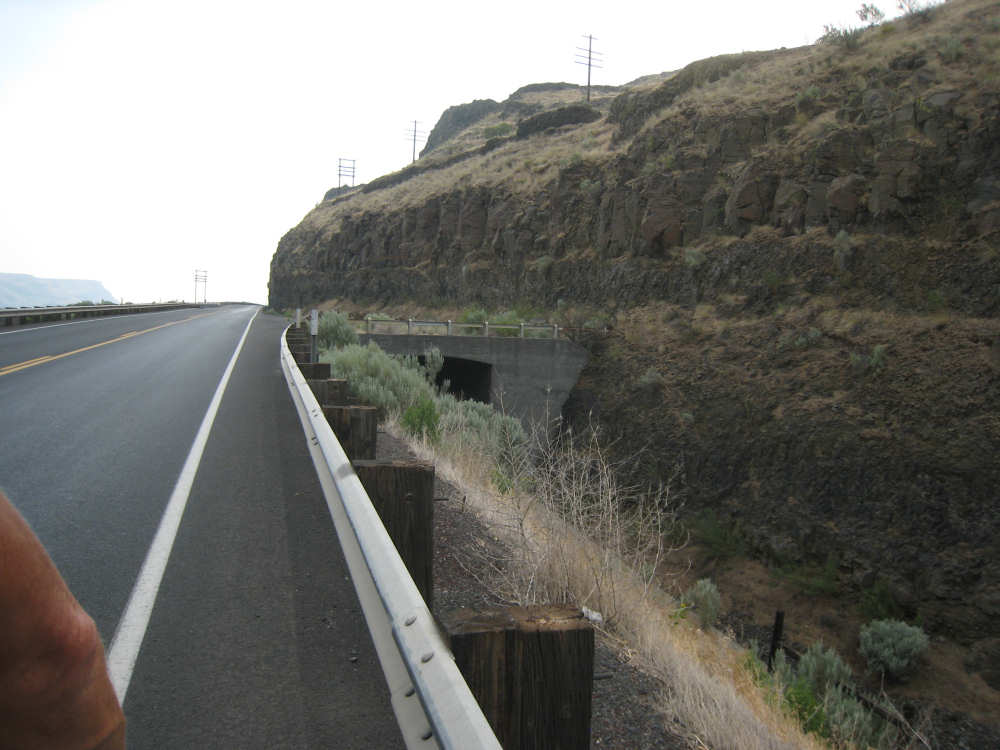
The railroad tracks use this tunnel to cross under the road |

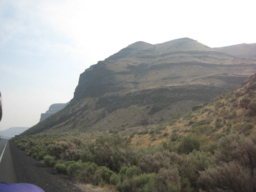
We're getting into some serious cliffs now |
The Washington side still looks imposing |
The river starts to turn to the north |
The Oregon hills start to look like the Washington ones did |
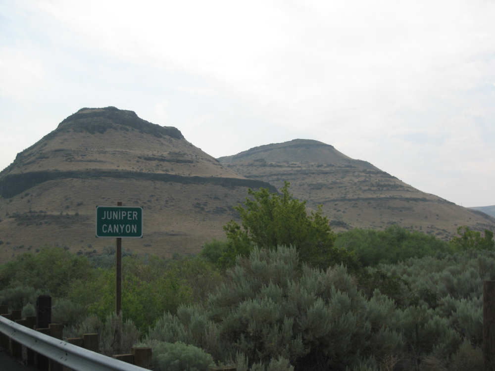
Beautiful Juniper Canyon |
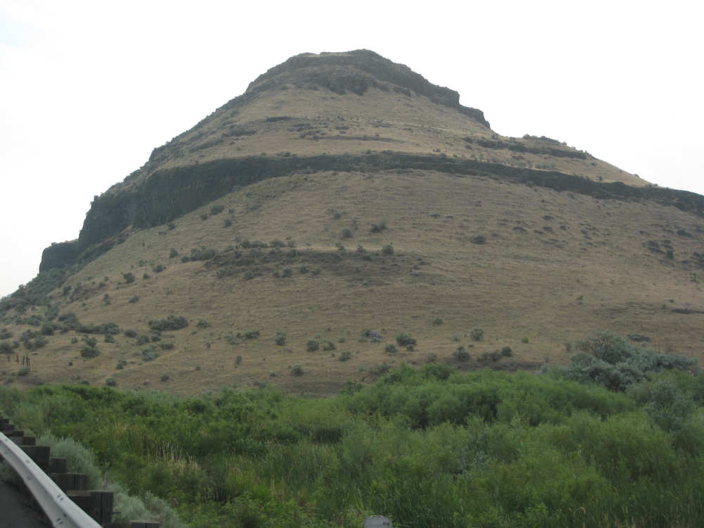
A close-up of one of the hills there... |

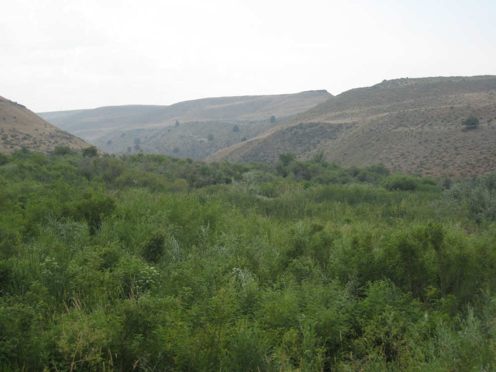
and a marshy area |
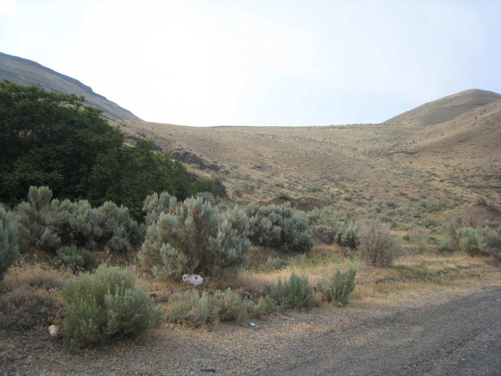
Some sage brush and brown areas still remain |

More hazy hills |
Oregon emulates the Washington hills more and more |
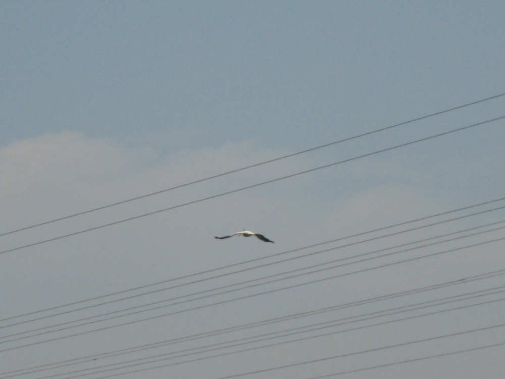
A pelican flying by |
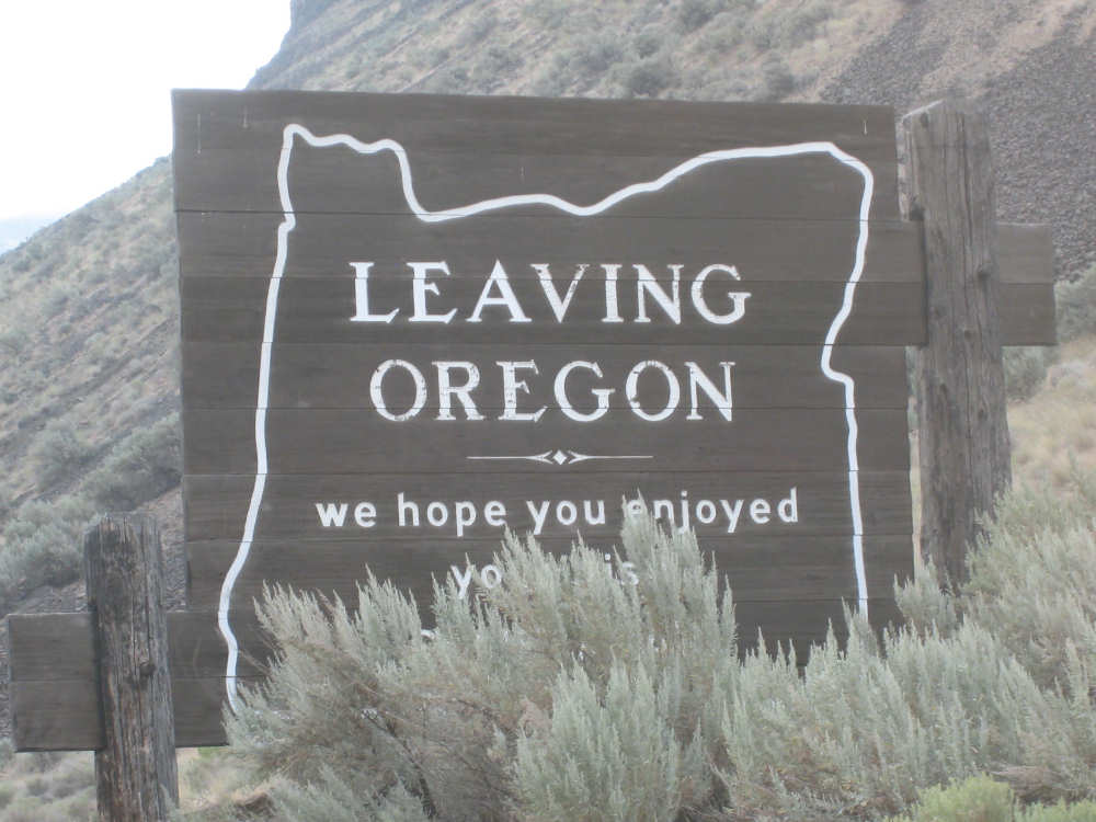
Oregon says goodbye (the back of this sign had a similar welcome) |
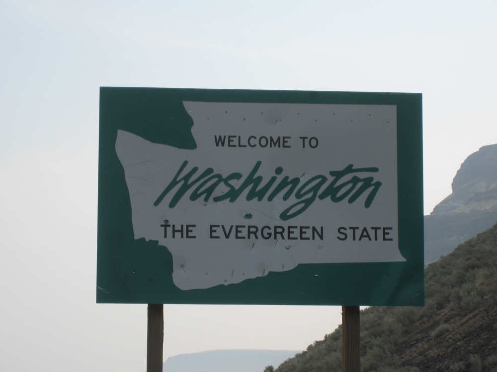
And Washington says hello |
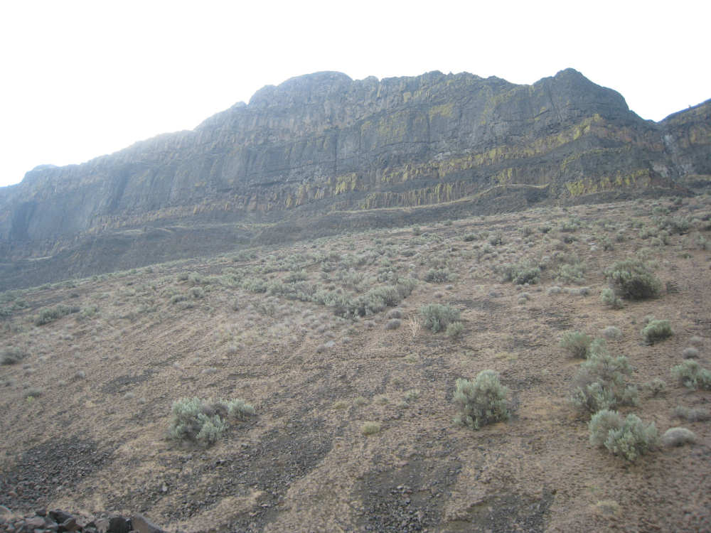
Oregon's cliffs get higher and more imposing.. |
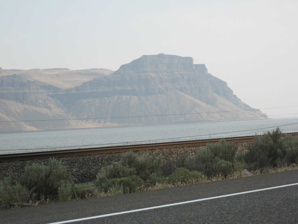
echoed on the Washington side |
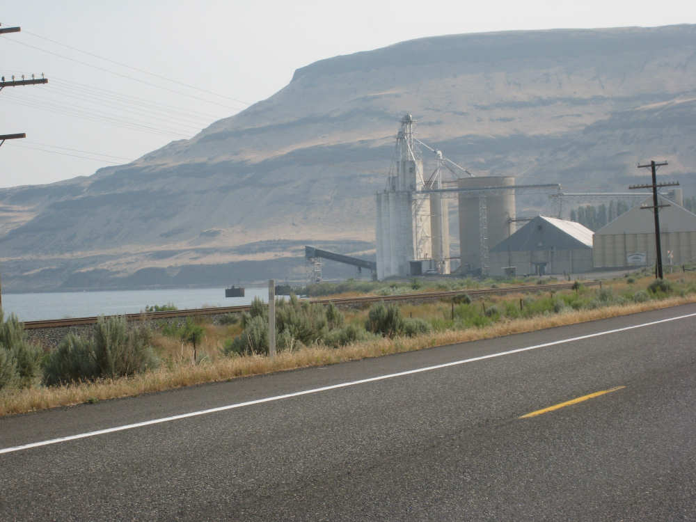
A grain silo ready to fill a barge on a corner of the Columbia |
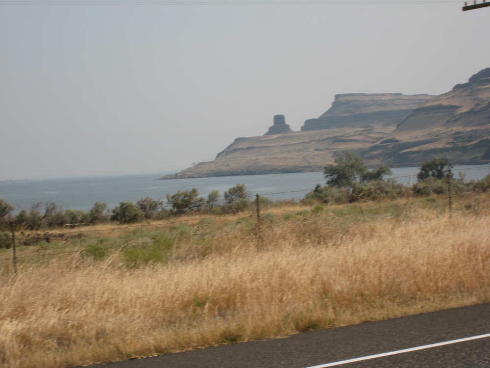
An interesting rock structure looks almost like a lighthouse |
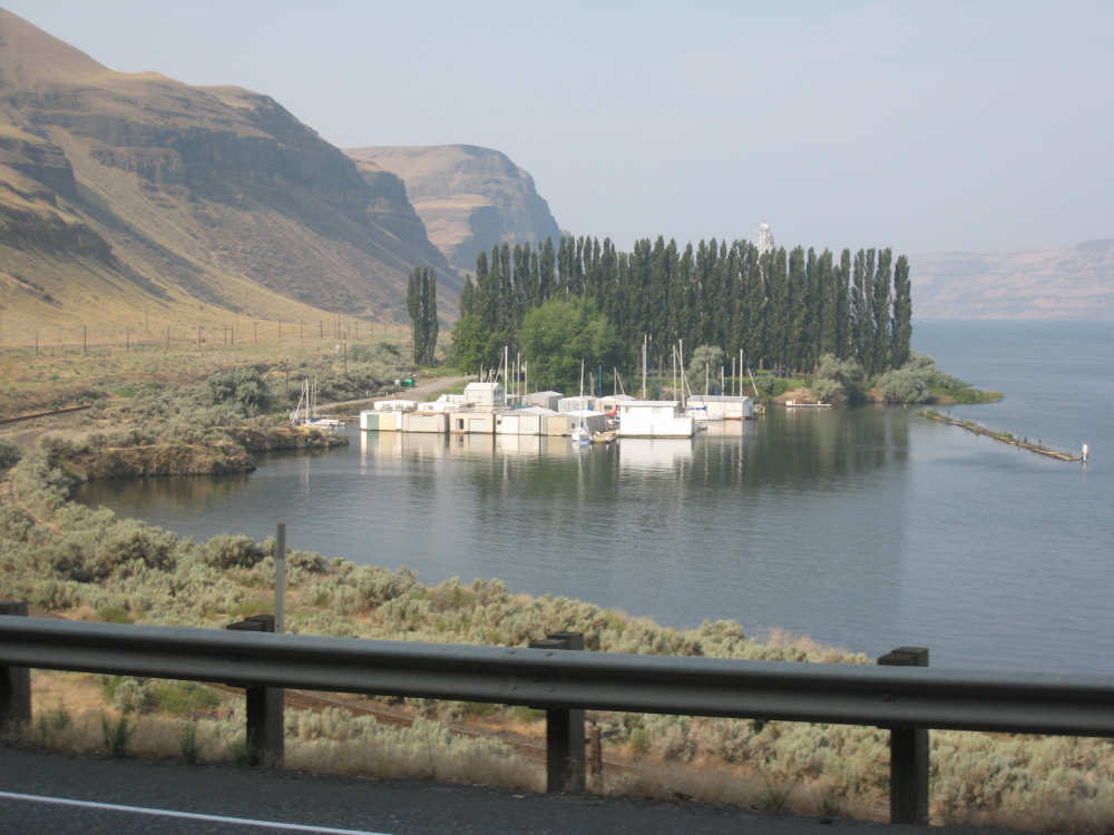
A little marina in a sheltered cove on the Columbia |

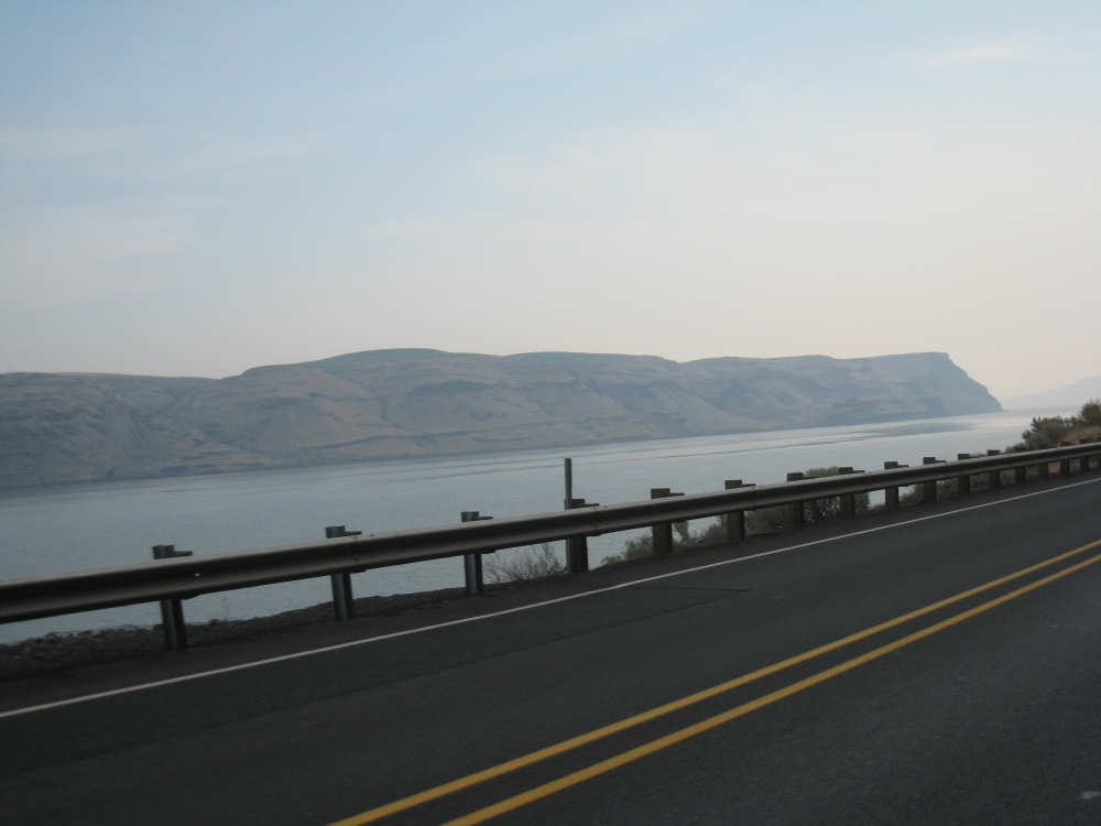
The river gets very wide at the northward bend |
More impressive cliffs |
|

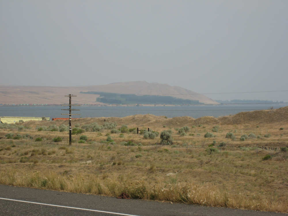
We can dimly see the town of Pasco on the shore before we turn east |
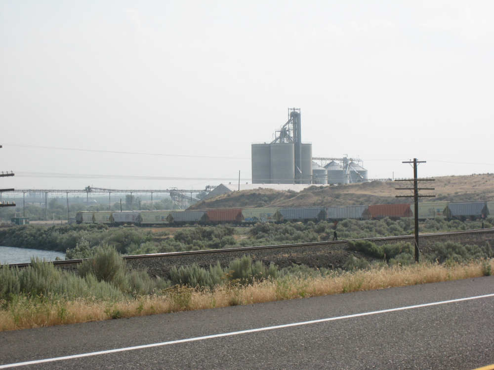
Another grain silo and some railroad cars waiting to be filled |
Our last view of the Columbia as we head east on Rt. 12 |
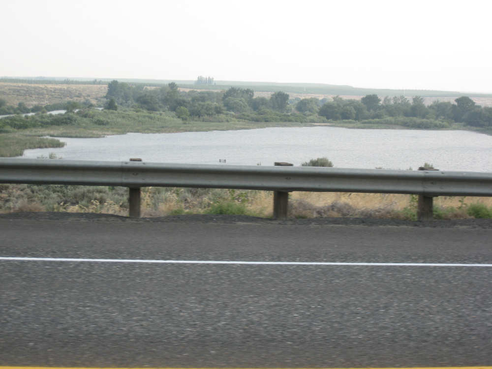
The Walla Walla River |
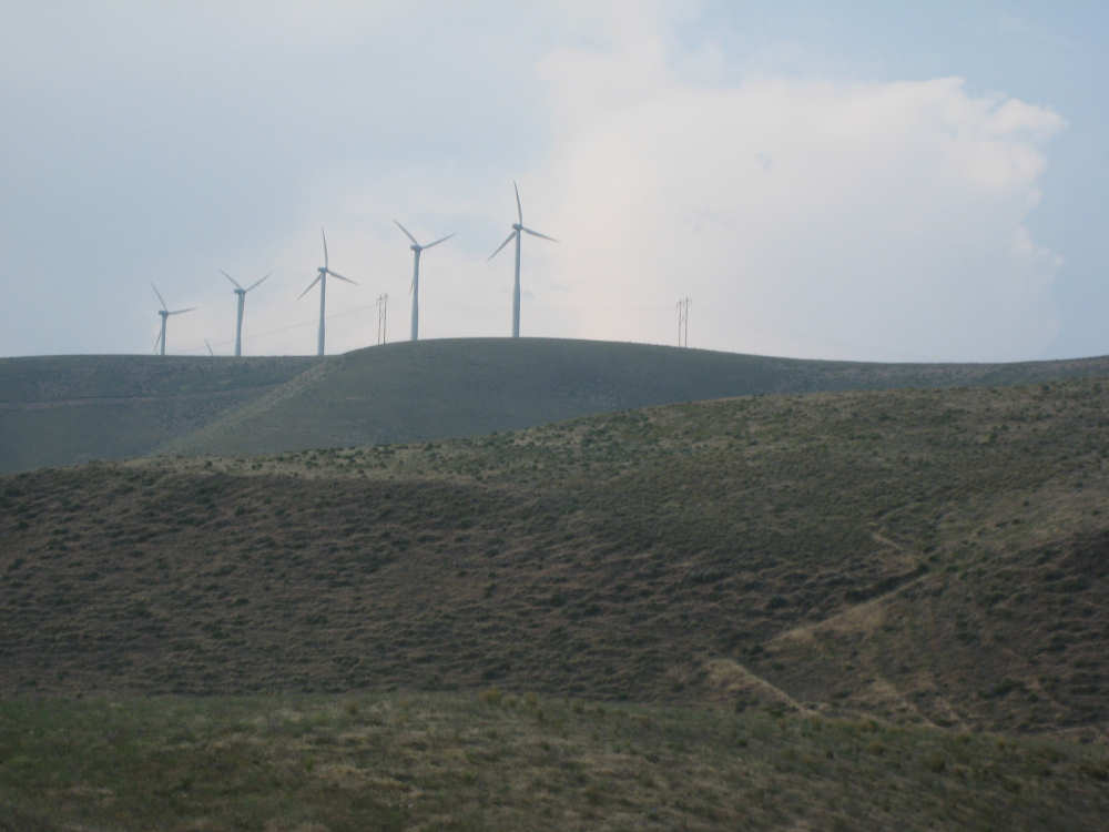
Windmills on the hills near the Columbia River |
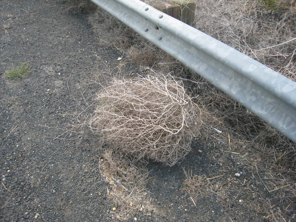
Some tumbleweed by the road |

The Walla Walla River goes through a green valley covered with sprinklers |
Vineyards on the hillside |
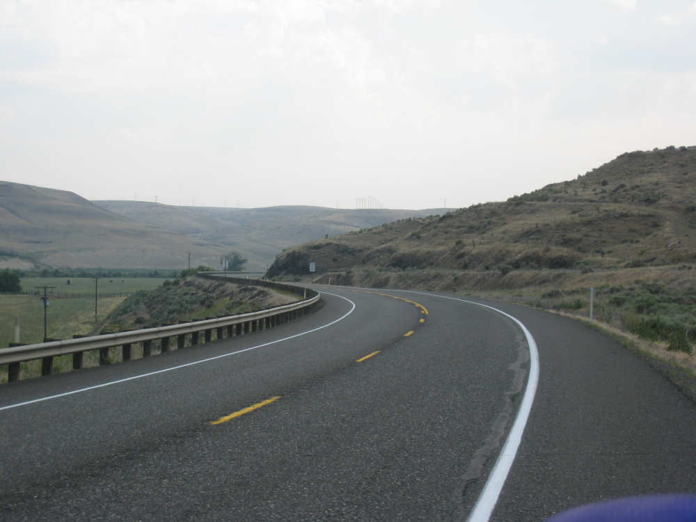
A road shot of Rt. 12 |

We cross the Walla Walla River |
A historical marker by the road |
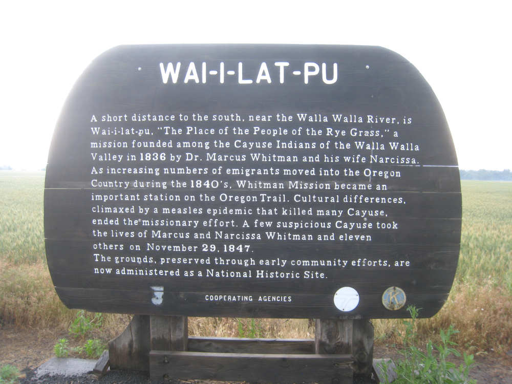
Another marker, this one mentions the Whitmans |
Wheat fields along 12, nothing like what we saw later |
The beginning of the wheat fields along Middle Waitsburg Road |

There was a vineyard here too |
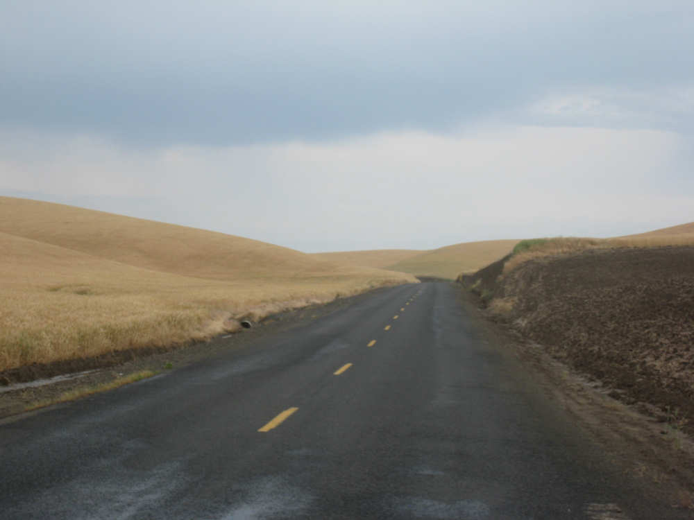
A road shot of Middle Waitsburg Road - wheat all around |
And more wheat... |
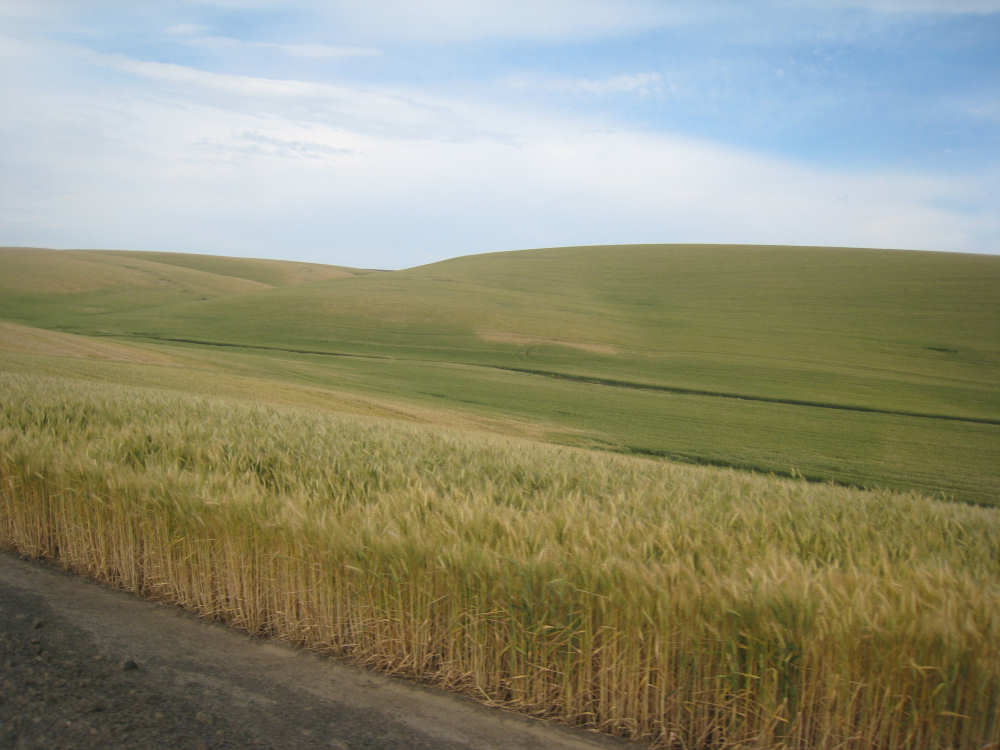
and more wheat - this field still partly green |