Wednesday, July 02, 2008
Waitsburg, WA to Clarkston, WA
76 miles (5574 total miles)
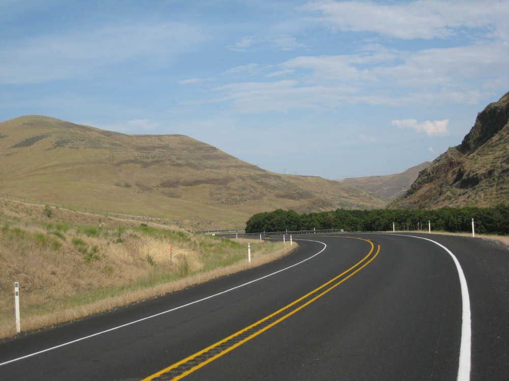
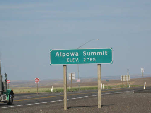
Today was a long, hot day. We left at 7 am and ended at 6:30 pm, with 8 hours of bike time - over 75-1/2 miles and LOTS of climbing. We started climbing right out of Waitsburg - a small hill going from about 1400 to 2100 feet over about 12 miles, not bad. Then we had a nice fast downhill - that was great! - and more or less level for the next 10 miles. Then we started up again, this time for 31 miles, mostly gentle grade, going from 1000 to 2800 feet (2785 feet to be exact - we have proof!). THAT was tiring, and of course it was another scorcher day, about 95 degrees and full sun. We stopped for sodas in Dayton, WA, only about 10 miles out of Waitsburg, and spotted some homemade chocolate chips cookies that we brought along for a snack. We had bought some sandwiches to eat along the road because the next town was Pomeroy, another 36 miles out and most of the way up that second hill. We were very relieved to find a place to eat in Pomeroy, where we had some delicious sandwiches and soup and lots of soda and water. We had already gone through our 2-liter Camelbaks, 2 more water bottles and a bottle of Gatorade by the time we got there. They graciously restocked our ice and water supplies and we soaked our heads in their bathroom sink. From there, it was a steeper climb up to the Alpowa Summit, where Lewis & Clark had passed on their way back east, then a very steep downhill for about 5-6 miles and a gentle one for another 4. We saw the Snake River ahead soon afterwards, and followed it on level ground the last 6 miles or so into Clarkston. We had followed Rt. 12 all day and it was a good road with a wide, smooth shoulder most of the time - the shoulder was rough along the Snake River going into Clarkston, which made that last stretch less pleasant than it could have been.
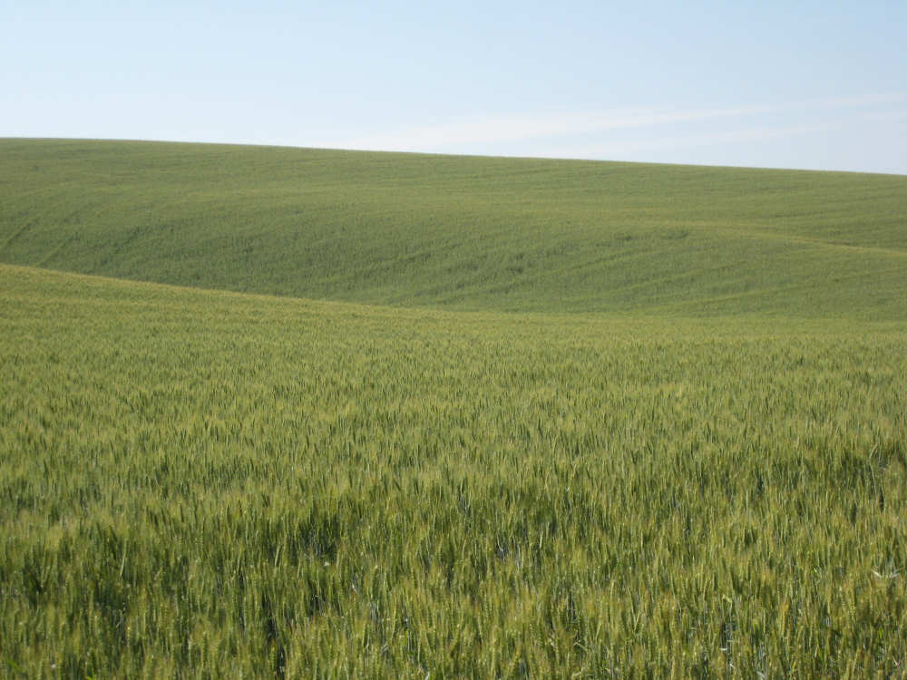
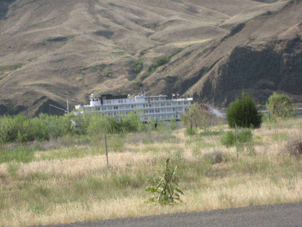
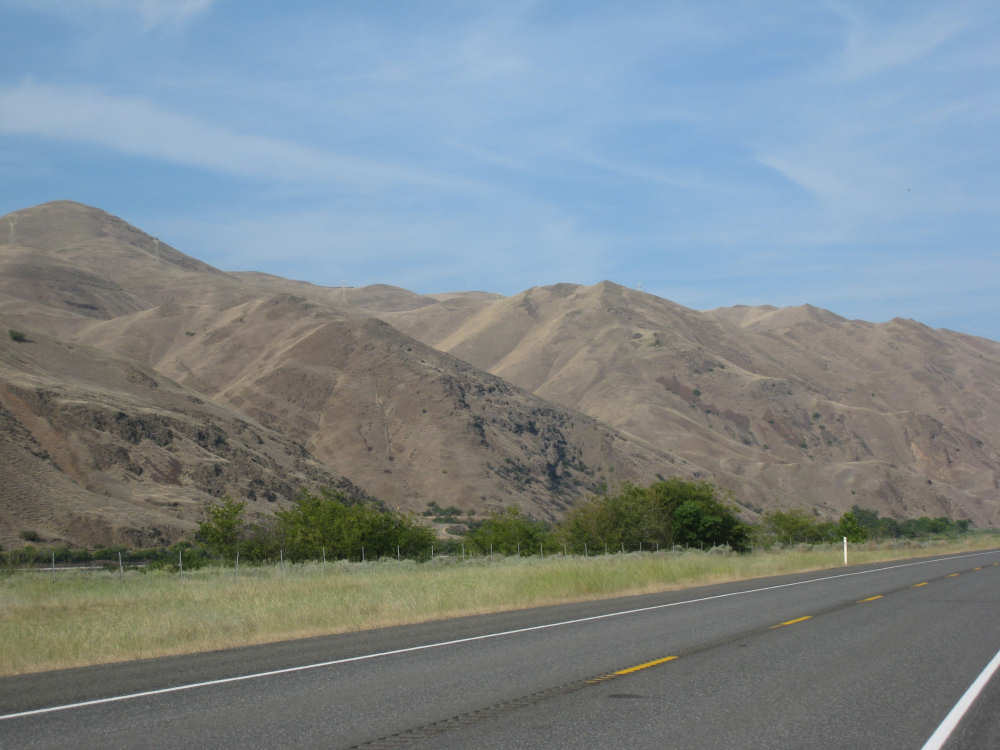
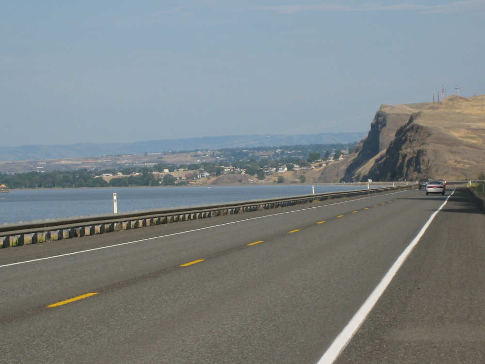
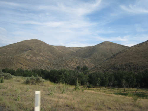
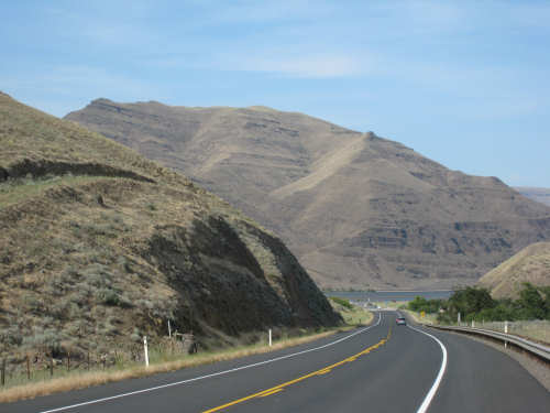
Now for the good stuff! We have lots of great pictures of the Washington hills, which we were traveling through all day. Many of the fields were very green, rather than the golden wheat we'd seen the day before - not sure if this was all some other kind of wheat, or hay, or another kind of grain. We met another touring biker, Jimmy Hedges, who was traveling west. He was doing a pretty extensive tour himself, from Florida up through Astoria, Oregon - cross country the long way! We had a pleasant chat on the downside (for us) of our first, shorter hill. We also had a lot of historical venues as we were following Lewis & Clark's return trip very closely today. Rt. 12 ran along the Touchet River from Waitsburg to Dayton, which they had followed. The restaurant where we ate breakfast, just outside of Waitsburg, was called the White Stallion after the white horse an Indian chief had given Lewis & Clark there at the river. After leaving the Touchet River, we were joined by the pretty, gurgling Pataha Creek for many miles, nearly up to the Alpowa Summit. We had heard about the Nez Perce trail the Discovery crew had followed from the river inland and just before the Alpowa Summit, we crossed it! We saw a plaque by the side of the road and it pointed out the trail you can still see on the hills there (pictures below). It was very exciting to see the same trail they had walked on, 202 years and 2 months earlier (May 3rd, 1806)! The Alpowa Summit was another spot they had been, although we wondered how different the view was, whether it was forested back then whereas now it was all grassy fields. And then there was the Snake River, which they had traveled. The hills coming down that valley and along the river were huge and quite fascinating. Each hill seemed very different, and very characteristic. They were all dirt brown and it was hard to tell if there was any vegetation on them or not. Certainly, some of them had short, scrubby plants of some kind, and maybe they all did. We saw an old-fashioned river boat, with a water paddle on the back go down the river, too.
We were relieved to see the town of Clarkston come into view and to finally arrive at our motel, where we'll be taking a rest day. It's been a long week. Next week, we'll be in Idaho for 4 days and then pop over into Montana!
Some steeper hills were left unplowed
|

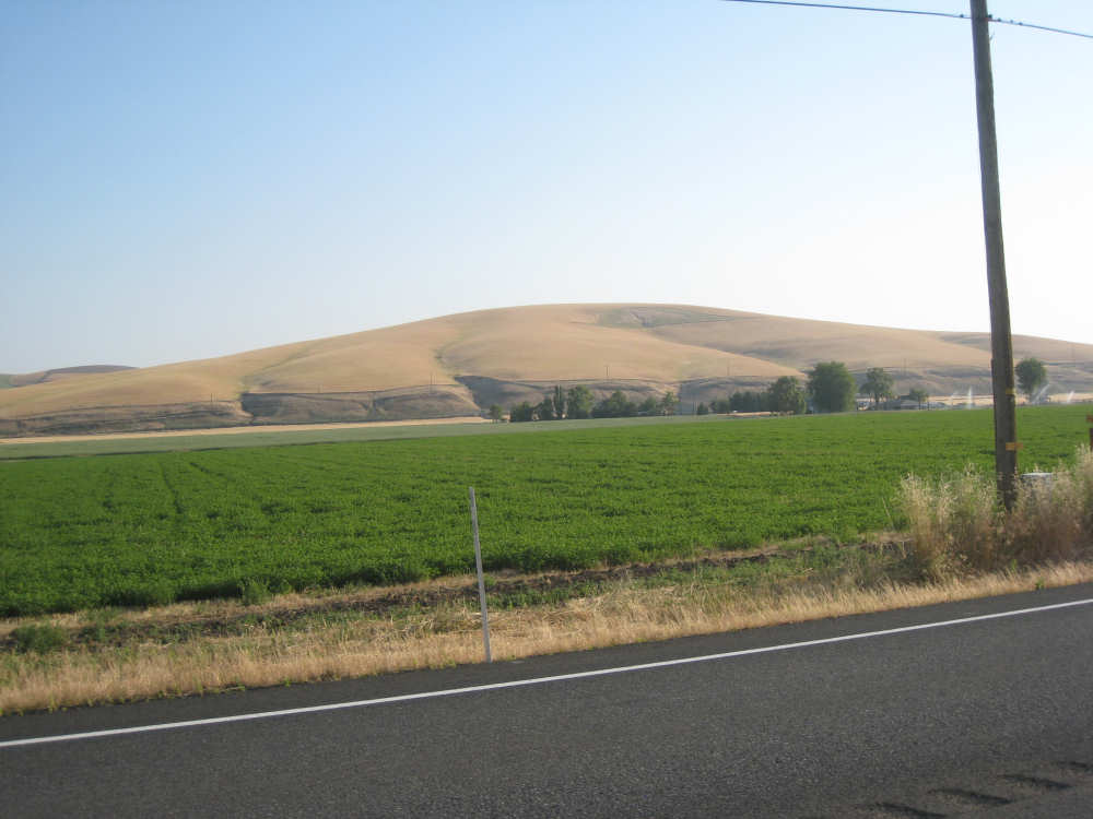
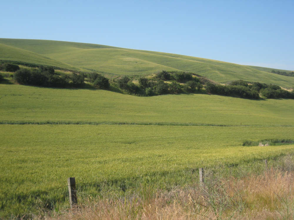
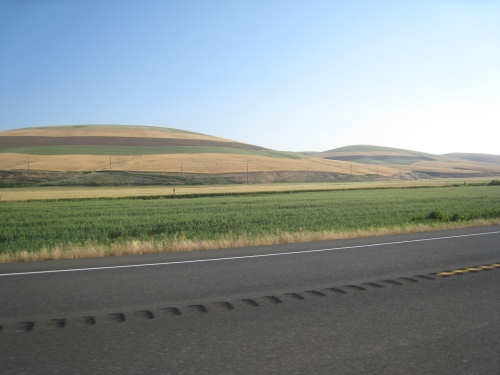
Brown hills behind green fields - wheat or hay? not sure
|
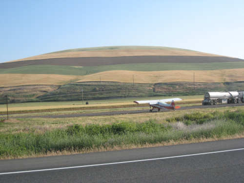
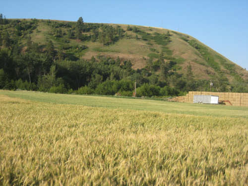
The layered look - strips of plowed, green, and golden wheat, and a small airfield
|
More layered hillsides along Rt. 12
|

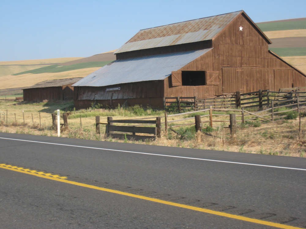
An old barn; the sign on it said 'Old Starr Farm 1858'
|
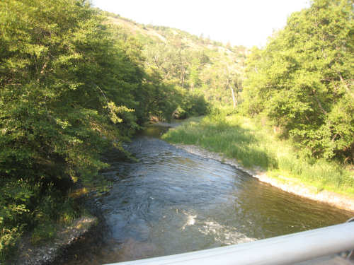
Crossing pretty Touchet River
|

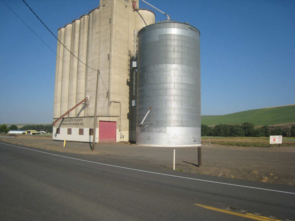
Grain silo along the road
|
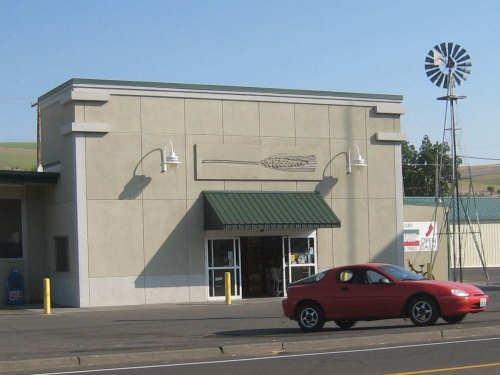
Grain Growers Association in Dayton, WA with a pretty wheat stalk over the doorway
|
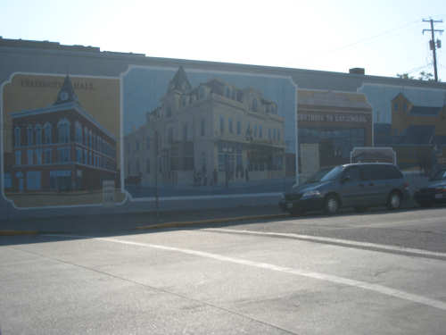
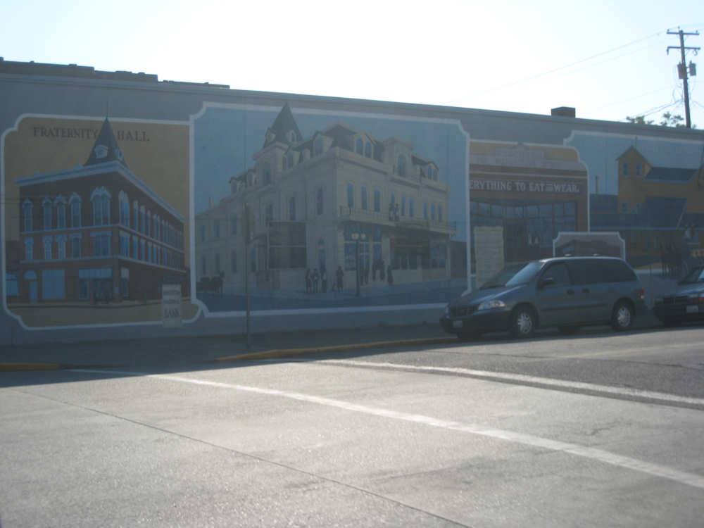
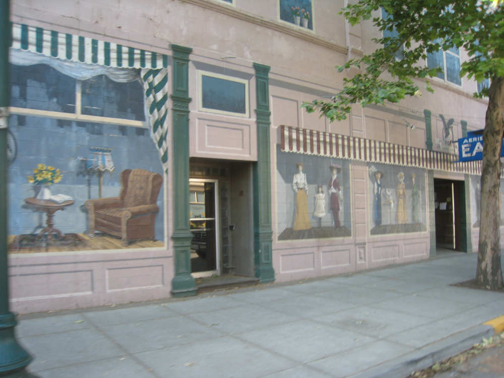
Dayton had some lovely murals...
|
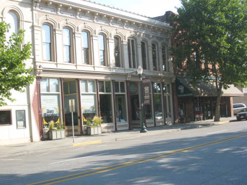
and other interesting buildings
|
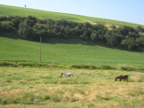
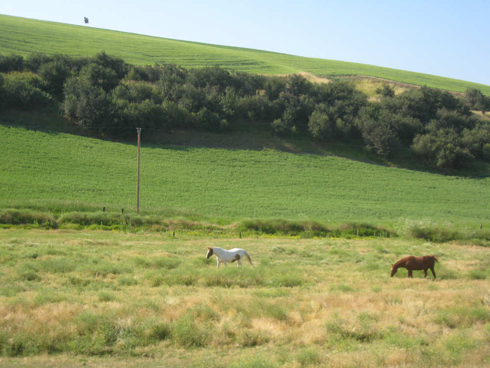
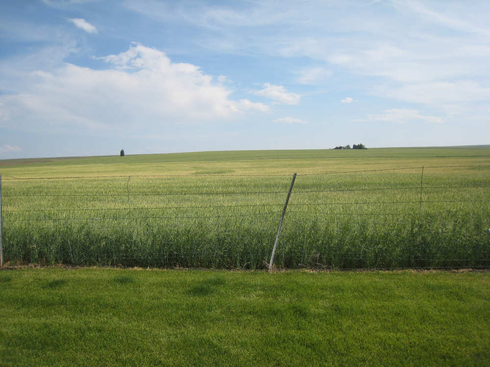
More green fields, and some pasture for horses
|
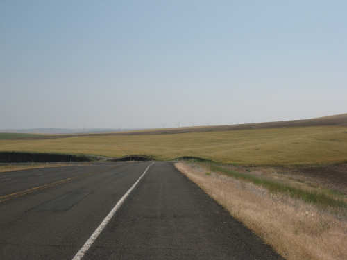
A dip in the road and windmills along the top of distant hills (hard to see them)
|
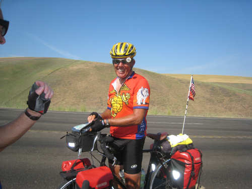
The brightly smiling Jimmy Hedges
|
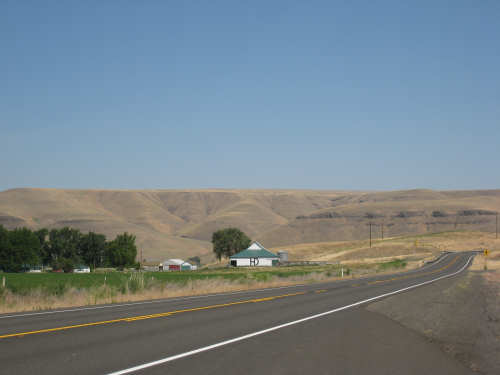
Hills and a farmhouse below
|
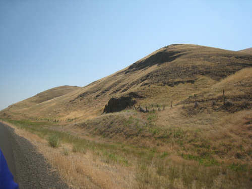
Even hills that weren't farmed were fenced off, for cattle presumably
|
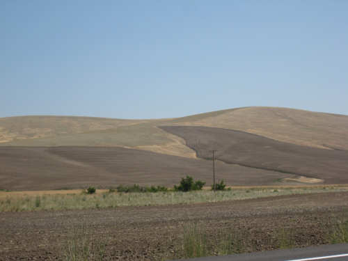
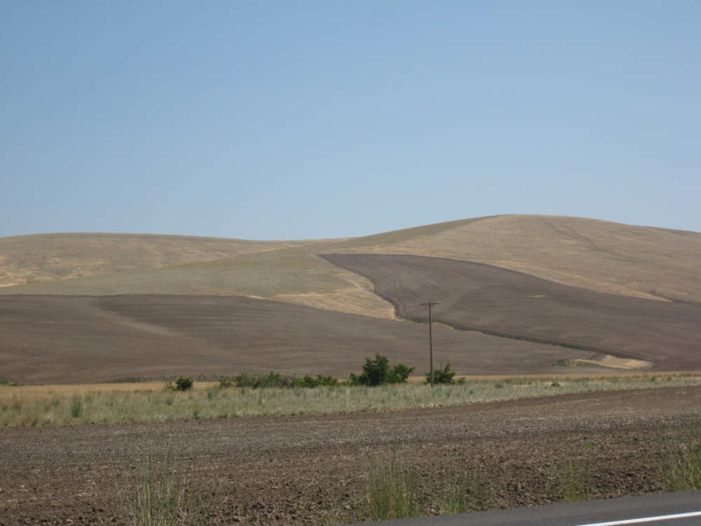
Freshly plowed areas on these hills
|
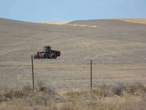
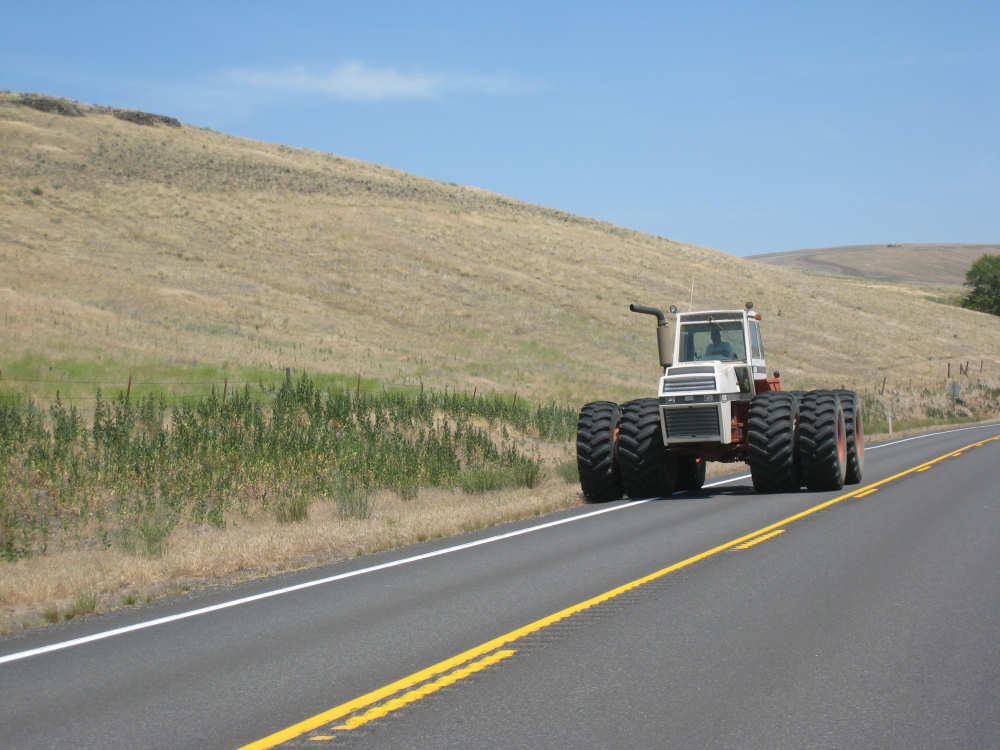
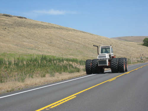
A big tractor for a big field
|

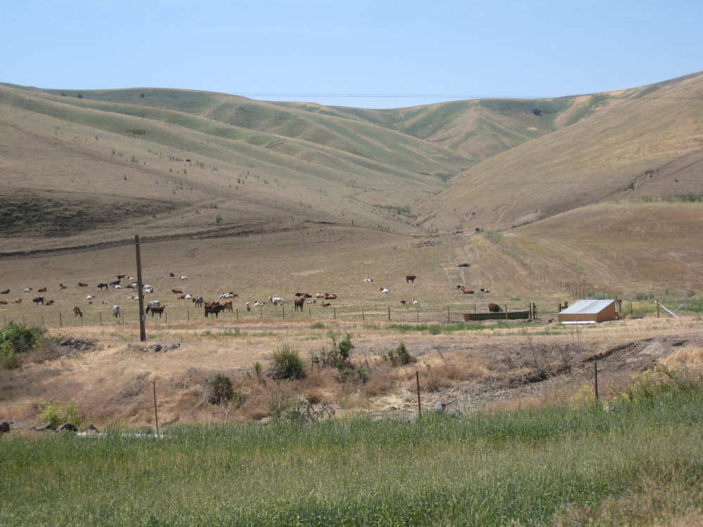
A herd of cattle in a beautiful gulch
|
This guy was preceeded by a 'Wide Load' pilot car, glad he wasn't on our side!
|

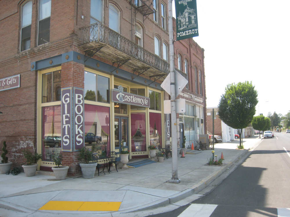
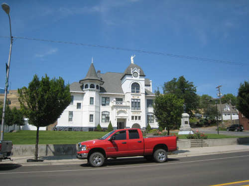
Interesting buildings in the town of Pomeroy
|
The Pomeroy Court House with a statue of Justice on top
|
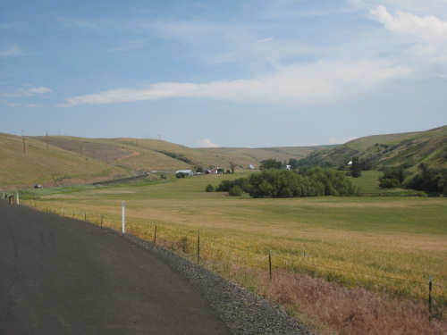
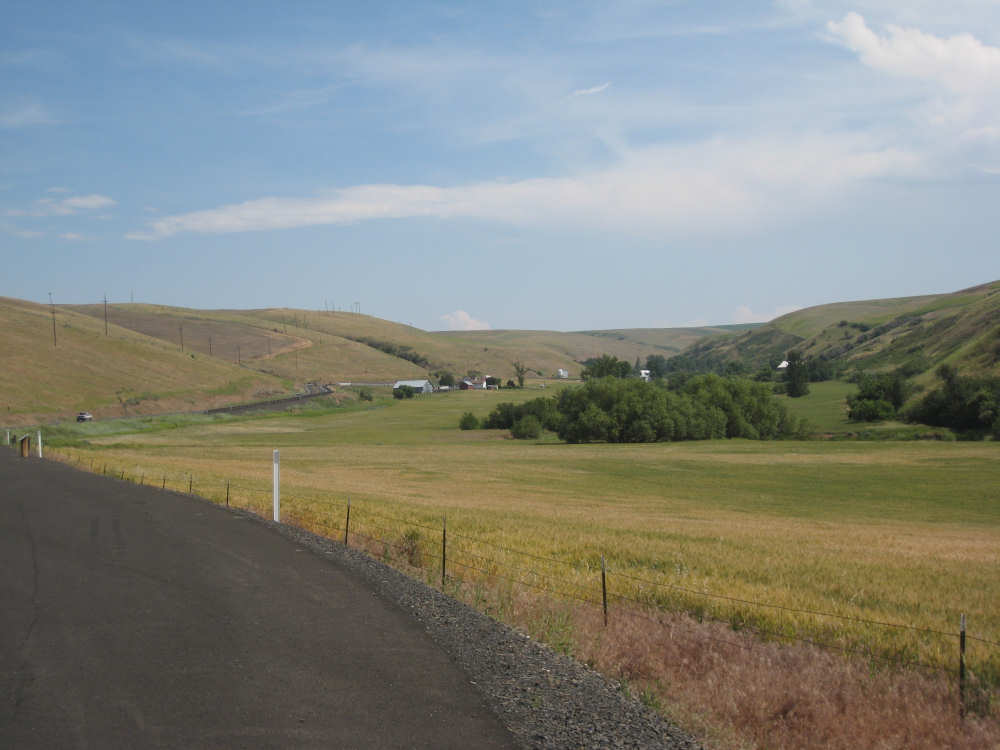
The valley outside Pomeroy, before the next climb
|

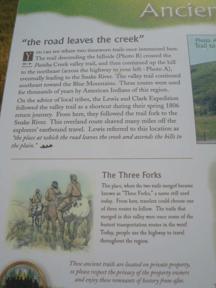
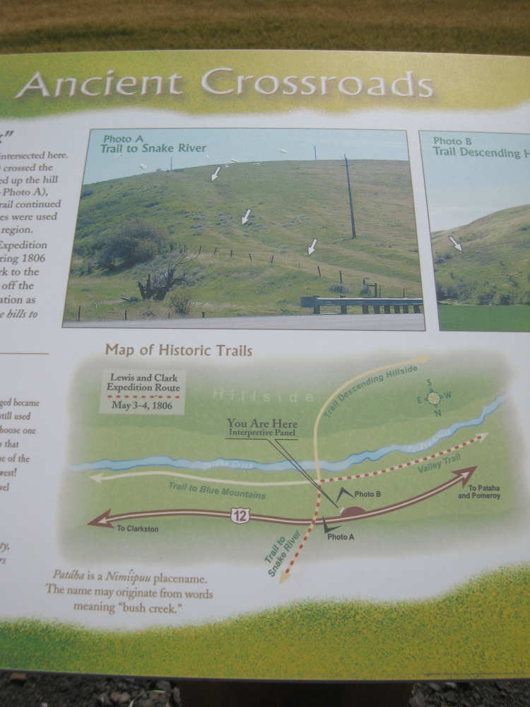
The plaque in this valley that described the Nez Perce trail
|
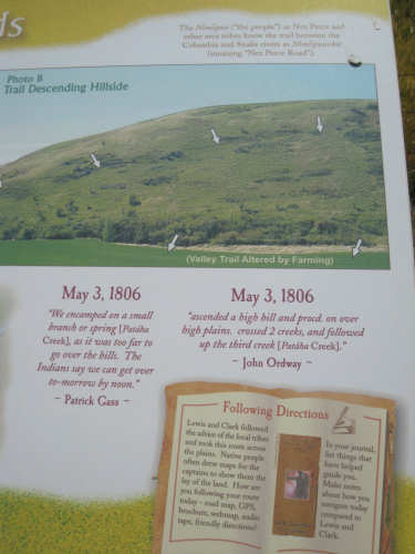
The photo from the plaque showing the trail they used...
|

and the trail as we saw it (about midway down the hill)
|

The photo showing the trail going up on the other side of the road...
|
and that trail as we saw it
|
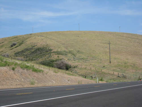
At the top of our steepest climb today
|
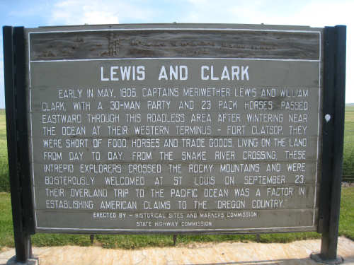
More plaques describing Lewis & Clark's eastward journey
|
If this is hard to read, remember you can click on the photo to get a larger version
|
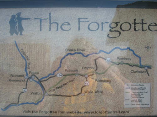
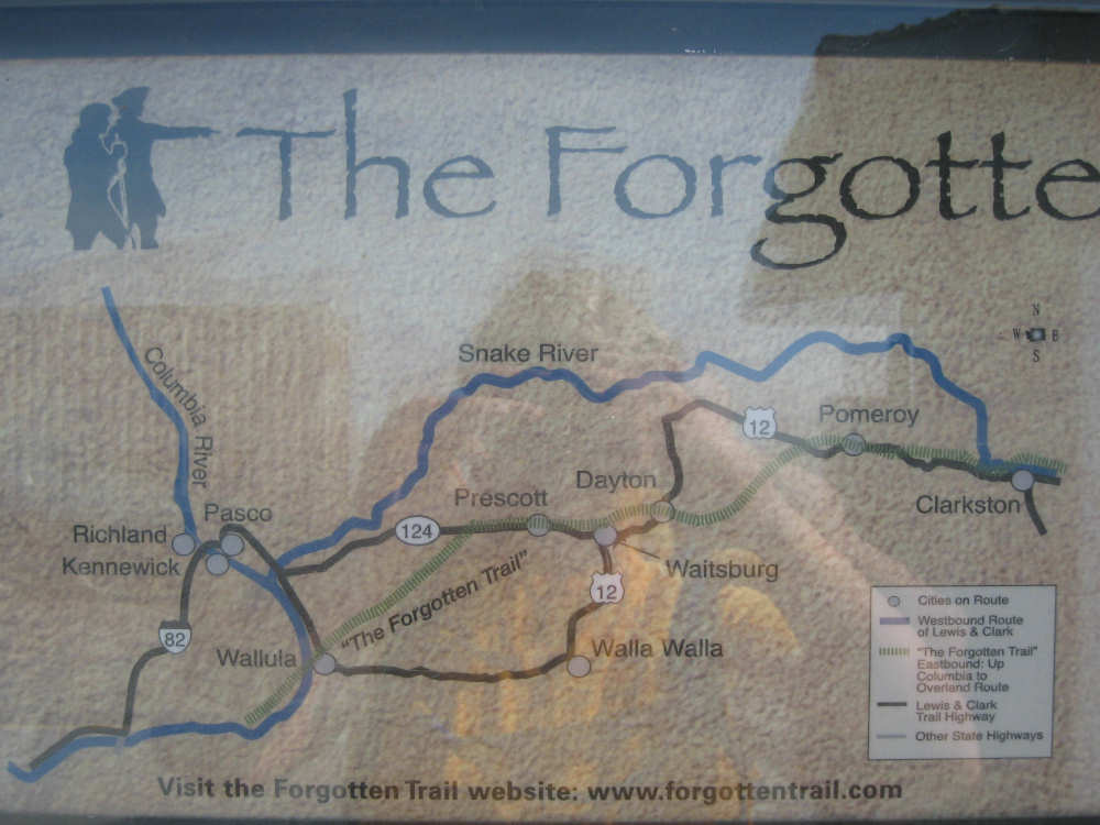
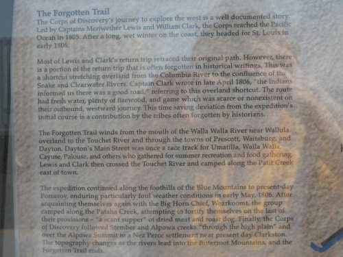
The green trail is the one they followed east; Rt. 12 deviates from it between Dayton
and Pomeroy but then follows it to Clarkston
|
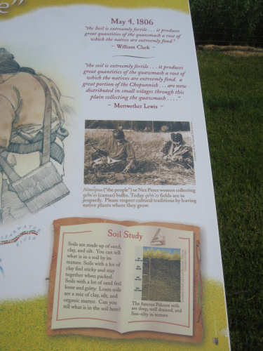
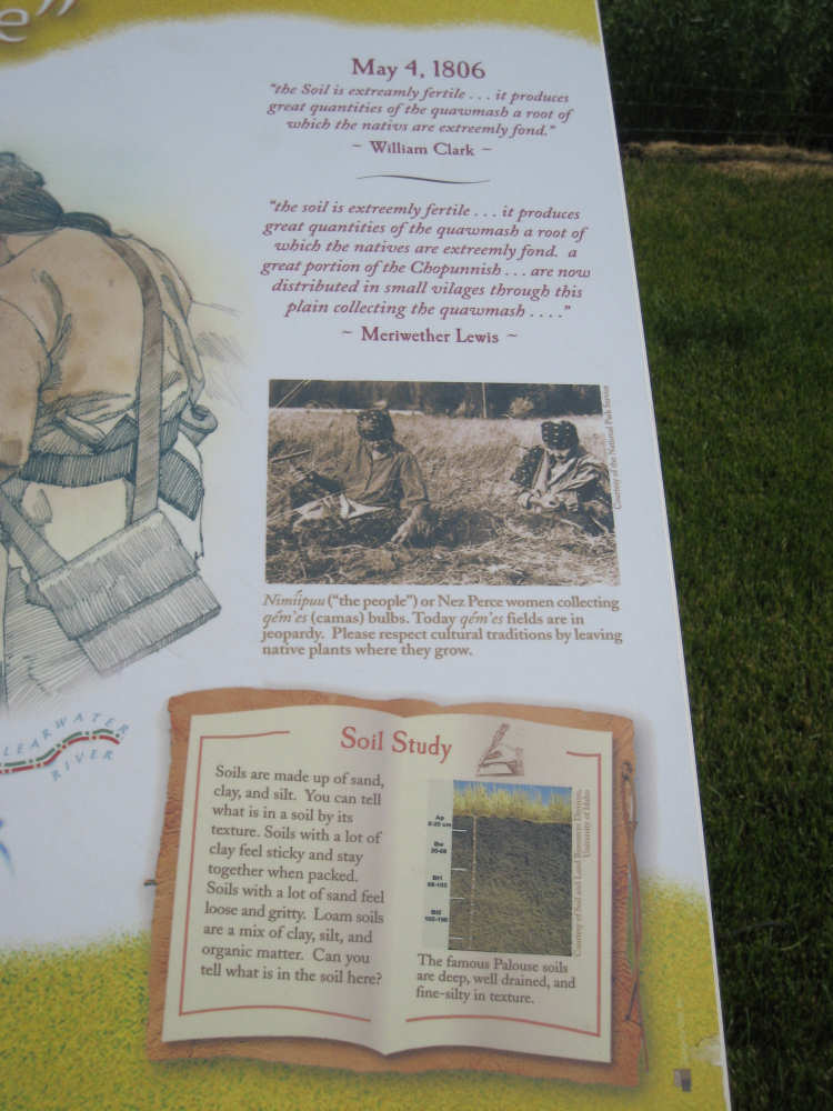
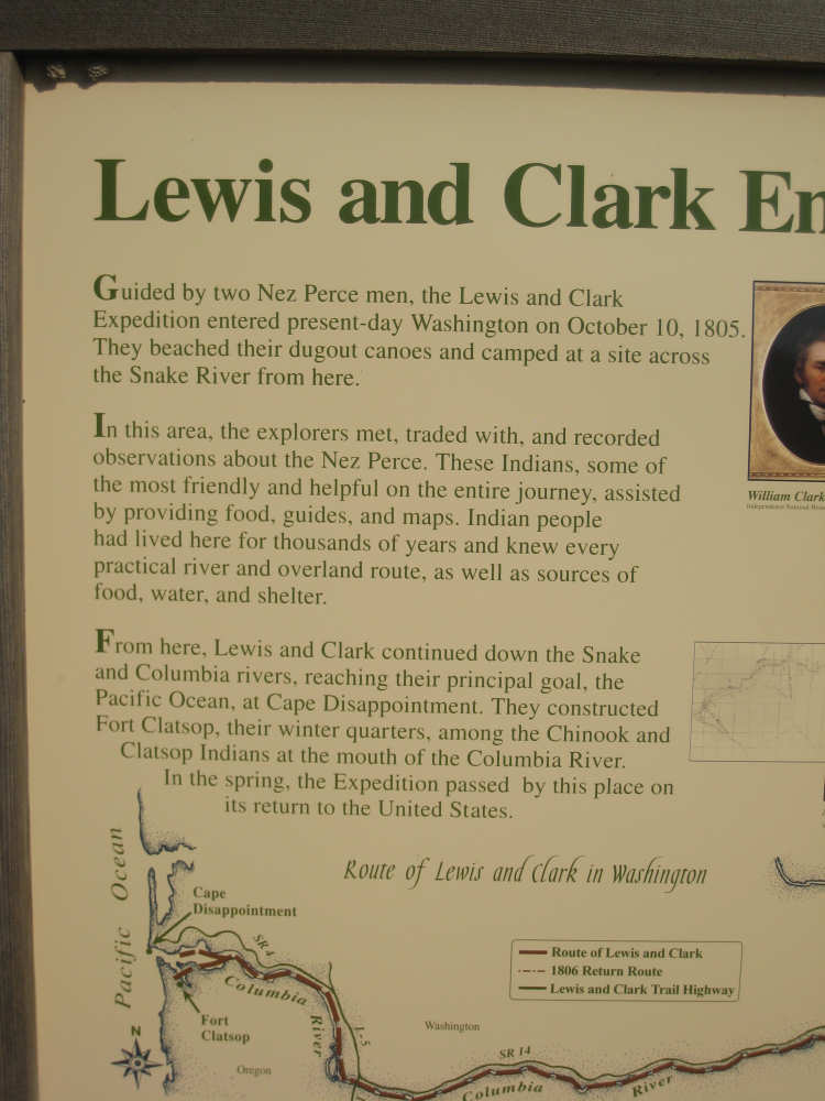
More info on the area in Lewis & Clark's days
|

The view from the summit
|
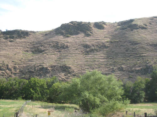
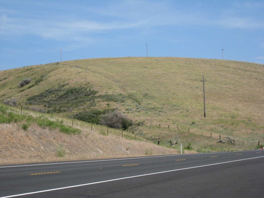
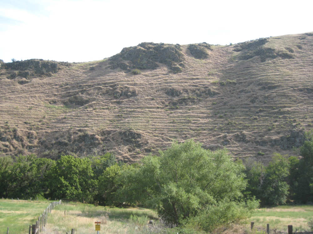
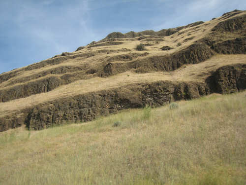
Mysterious ridges on the hills make it look like they had been plowed
|
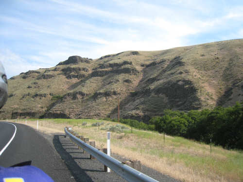
More views of the hills after the steep descent from the summit
|
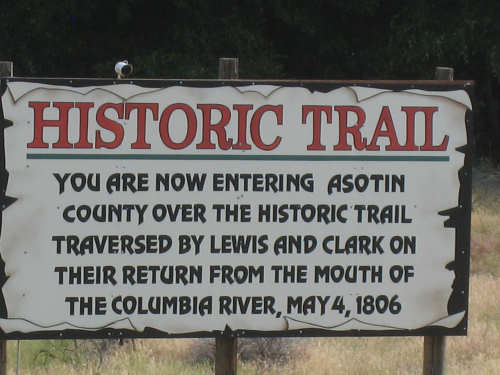
Another historic marker
|
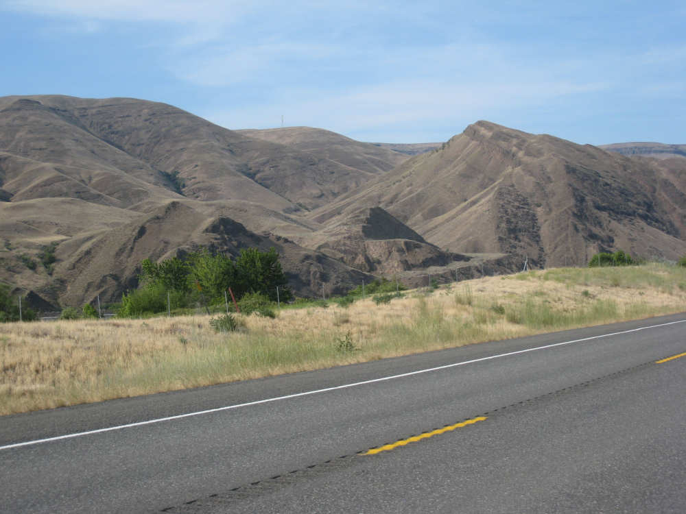
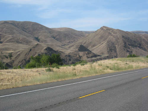
More hills as we approach the Snake River valley
|
Our first view of the Snake River
|
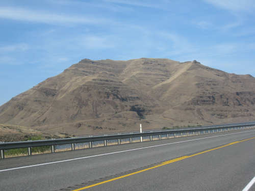
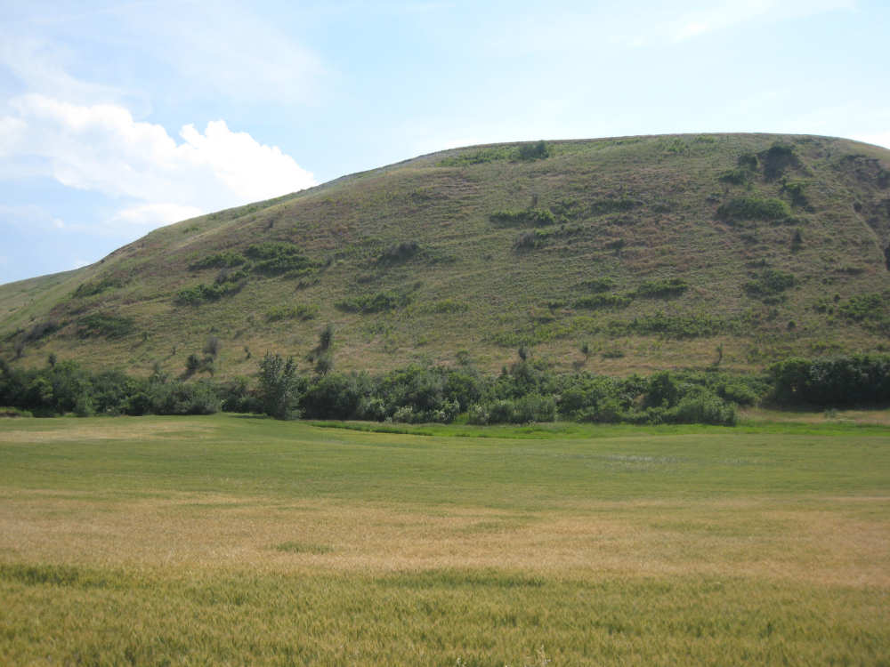
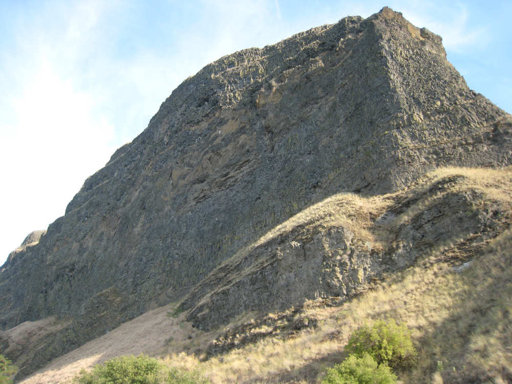
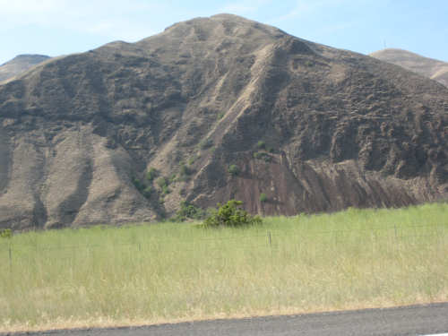
The massive hill by Snake River
|
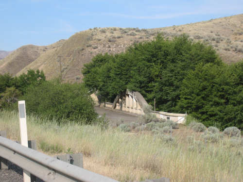
An old bridge across a creek flowing into the Snake
|
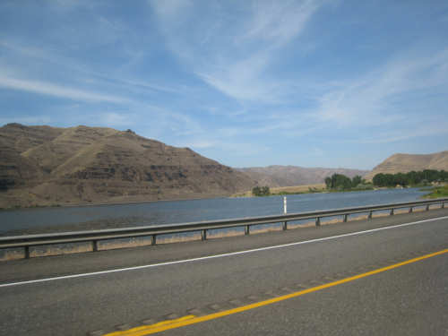
The Snake River and hills around it
|
The fascinating hills along the river
|

A paddle boat going down the Snake, its wheel barely visible behind a bush
|
Looking up at the hill next to us as we rode along
|
More hills along the river with strange brown vegetation on them
|

Our first view of Clarkston
|
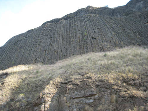
Interesting organ-pipe cliffs
|
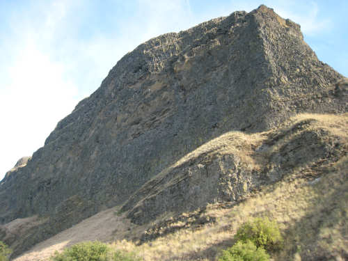
Another monolith on our side of the road
|
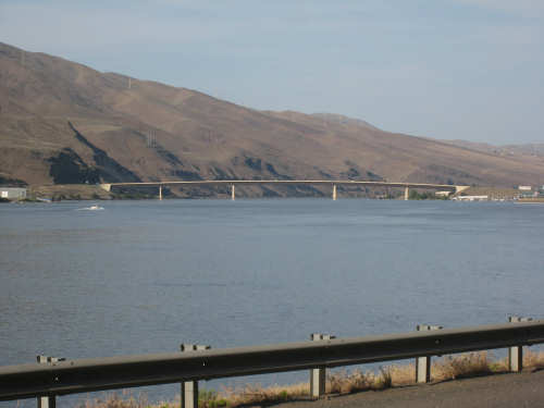
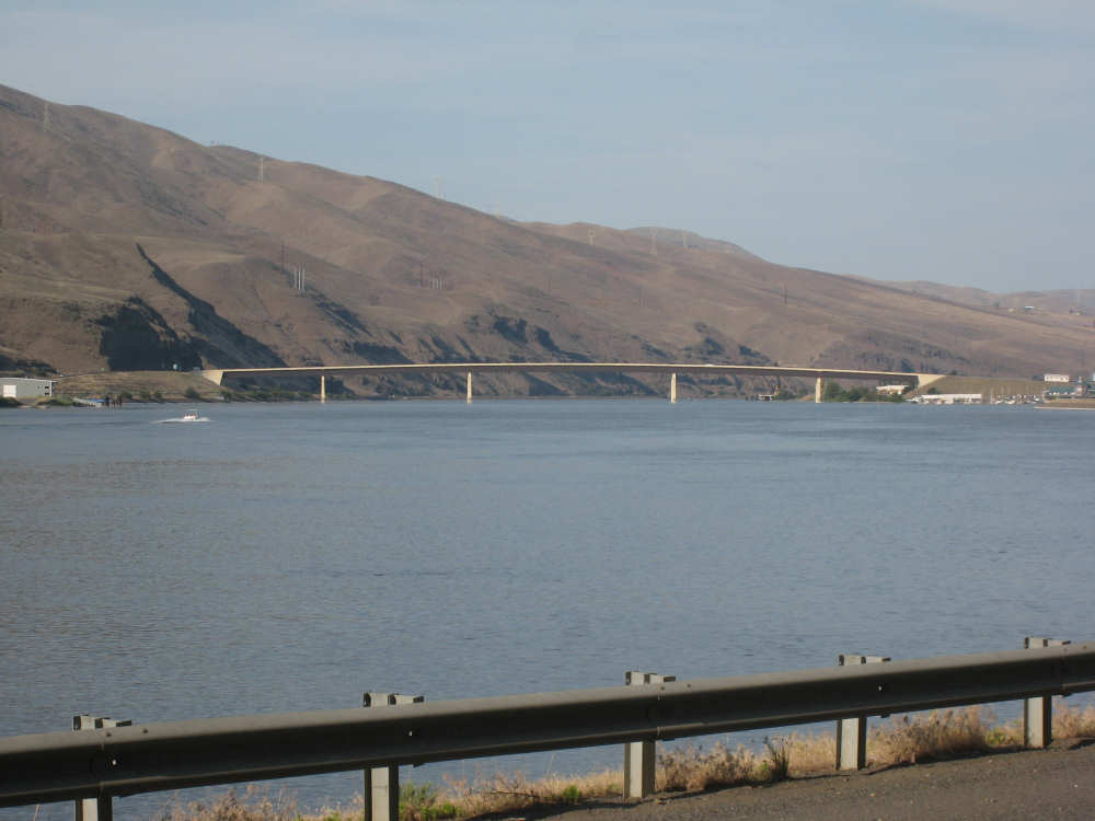
A bridge over the Snake at the edge of Clarkston
|
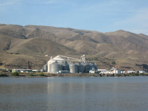
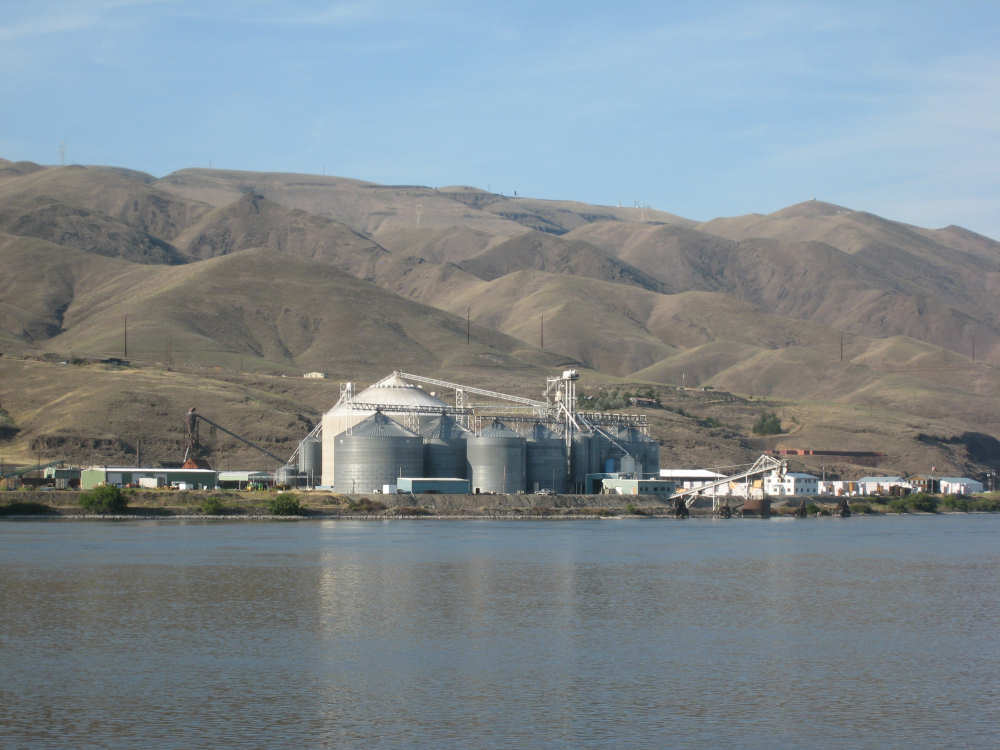
Grain silos at the edge of town
|
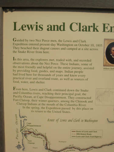
Another plaque at the entrance to Clarkston...
|
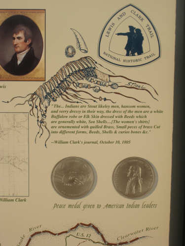
showing the Jefferson Medal they gave in trade
to friendly Indian chiefs
|