Monday, June 30, 2008
Arlington, OR to Umatilla, OR
49 miles (5426 total miles)
At the end of another month, our 4th on the road - hard to believe we've made it this long, 99 biking days and 23 rest days (including that week in Berkeley). Only 2 months and a bit to go; we're currently projected to get back on Sept. 9, 61 biking days and 10 rest days from now. We'll probably need plenty more miracles to get the rest of the way home.
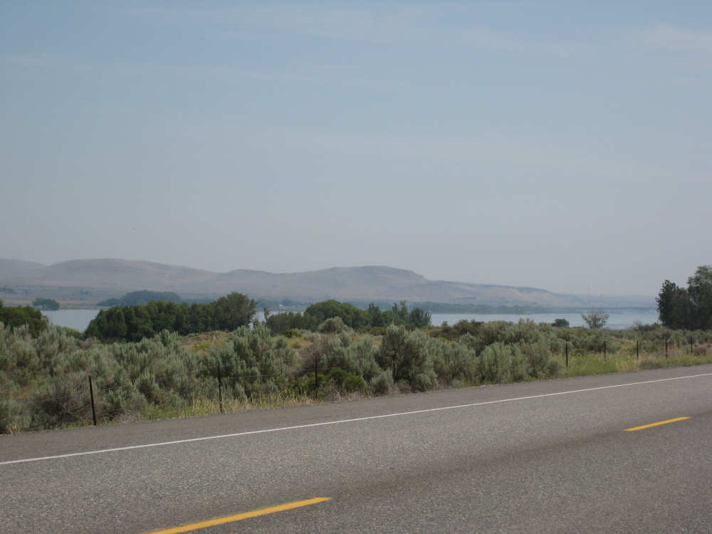
Today was another fairly easy day - 48-3/4 miles on basically 2 roads, I-84 and SR 730, both of which were smooth roads with ample shoulders. Last night's thunderstorm did not cool things off much, in fact, it made them steamier, but it was refreshingly cool when we set out this morning around 7 am and we had a very pleasant morning zipping along I-84. It was mostly level or even downhill most of the way and we had a decent tail wind for the first time since we turned east - we were beginning to think we had been misled about those prevailing west winds. We were along the Columbia again, with similarly gigantic hills on the Washington side and fewer and browner cliffs on the Oregon side. As we went along, we thought for a minute that we'd taken a huge jog to the south - the terrain went completely flat and was covered with brown grass and sage brush. Washington was still very brown and getting a bit flatter too; we also started to see more crops over on the hills there. We stopped at Boardman, the first town we came to after 27 miles of riding, and got milkshakes, one of our favorite mid-morning snacks. We also stopped at the rest area we had been promised 88 miles ago, but just to use the bathroom. Just before we reached Boardman, we went by the Umatilla National Wildlife Refuge. We couldn't really see it, because it was next to the river and we were beginning to pull away from it, but we did see a lot of wetland areas beside the road. The birds clearly loved the reeds and cattails there; there were many swooping around the plants. chirping delightfully. The wetlands added to the Texas look - we even saw a couple of tumbleweeds and some tamarisk trees, and the Ron Paul signs which were so prevalent in the South began to take over from the Obama signs that were all over coastal California and Oregon.
A few miles past Boardman, we turned off onto 730. I-84 had been veering south, away from the Columbia, and 730 veered us back toward the river. The land here was mostly farm land, crops and ranches, continuing the Texas theme. The temperature was getting higher and the heat felt more oppressive due to today's higher humidity. But the road was still smooth and mostly level, so we continued to make good time. We stopped in the town of Irrigon, right by the river, to get some cold sodas at the gas station, only to find it and everything else in the town was closed. Last night's thunderstorm had apparently hit them a lot harder than in Arlington - their power had been out since 11 pm. As we pedalled dejectedly out of town, we came across signs of the storm's damage - downed trees and several telephone poles lying in the street. Electric workers were hard at work on them. We had been noticing onions and onion skins along the side of the road from time to time which seemed odd, and finally saw the source of them. Onions appear to be a big crop in the area - we saw several large trucks full of them, without any covers on them, so onions often fall off the onion trucks, so to speak. We saw a fruit stand soon after Irrigon and stopped there for our cold drinks. They were doing a booming business, given they were the only place with power in several miles. Not too many miles later (although the last few miles always seem to take the longest), we came into Umatilla, crossing the Umatilla River. It's a fairly large town and our motel was on the far side, but we managed to reach it by 1 pm, coming 48-3/4 miles in a 4-1/2 bike hours, almost breaking an average 11 mph. Tomorrow and the next day will be long days with sparse services, so we plan to stock up on some food for the journey this afternoon.
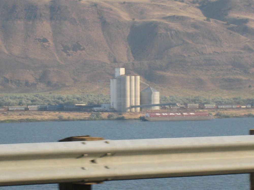
A barge being loaded from a grain silo in bustling North Roosevelt, WA |

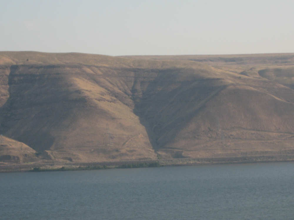
A truck makes its way across the face of one of Washington's hills |
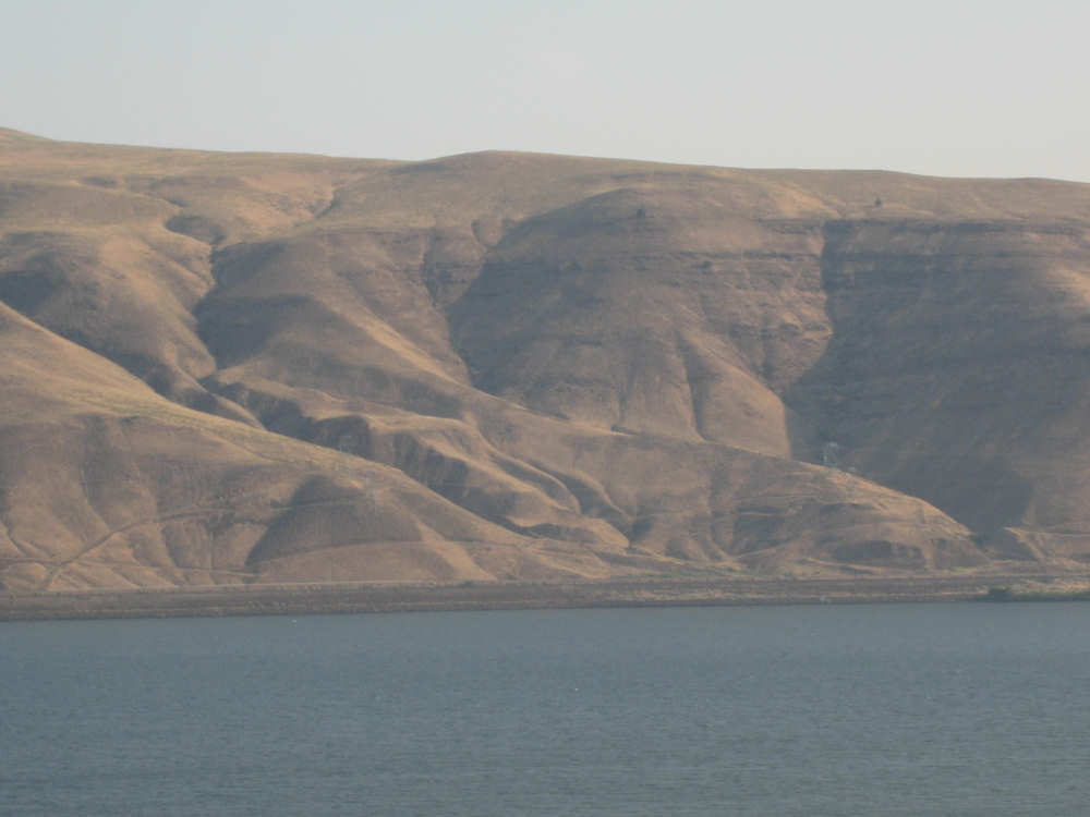
Sorry, I just can't resist taking pictures of these fantastic hills |
|
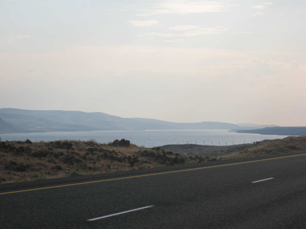
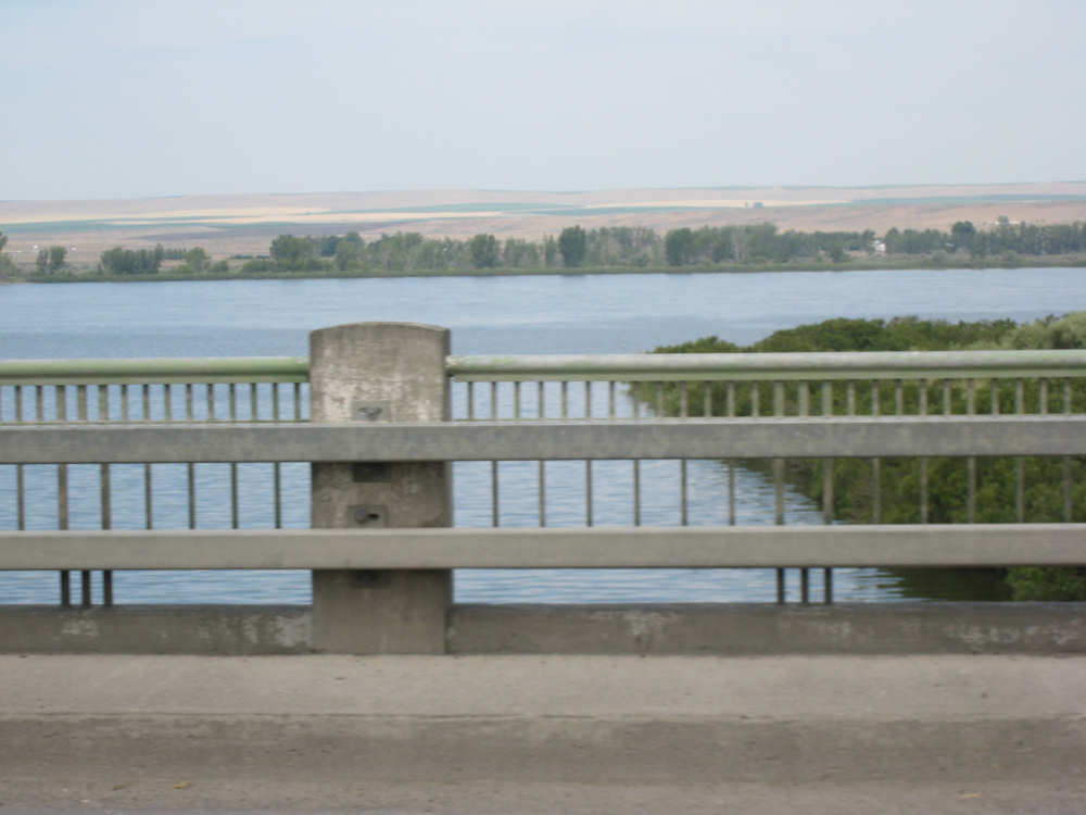
A view of the Columbia, up-river |
Oregon getting browner and flatter |
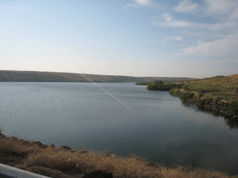
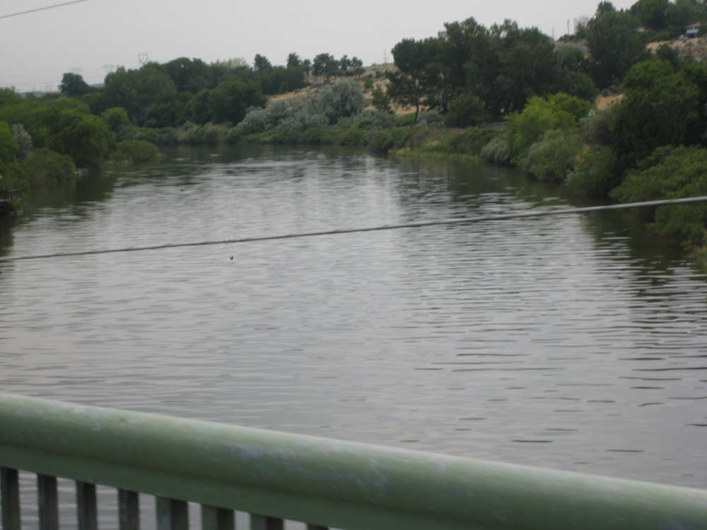
Willow Creek, which opens into Willow Lake before it runs into the Columbia |
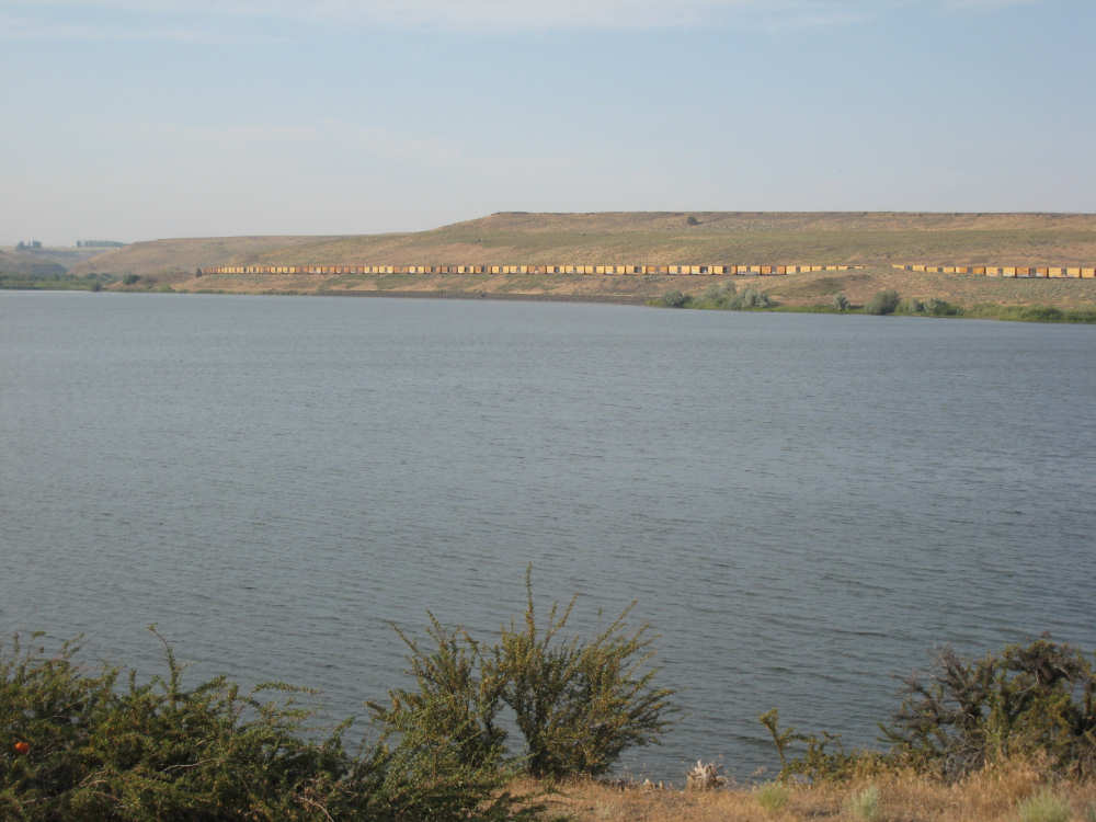
A long train runs along Willow Creek before it turns and goes down the Columbia |
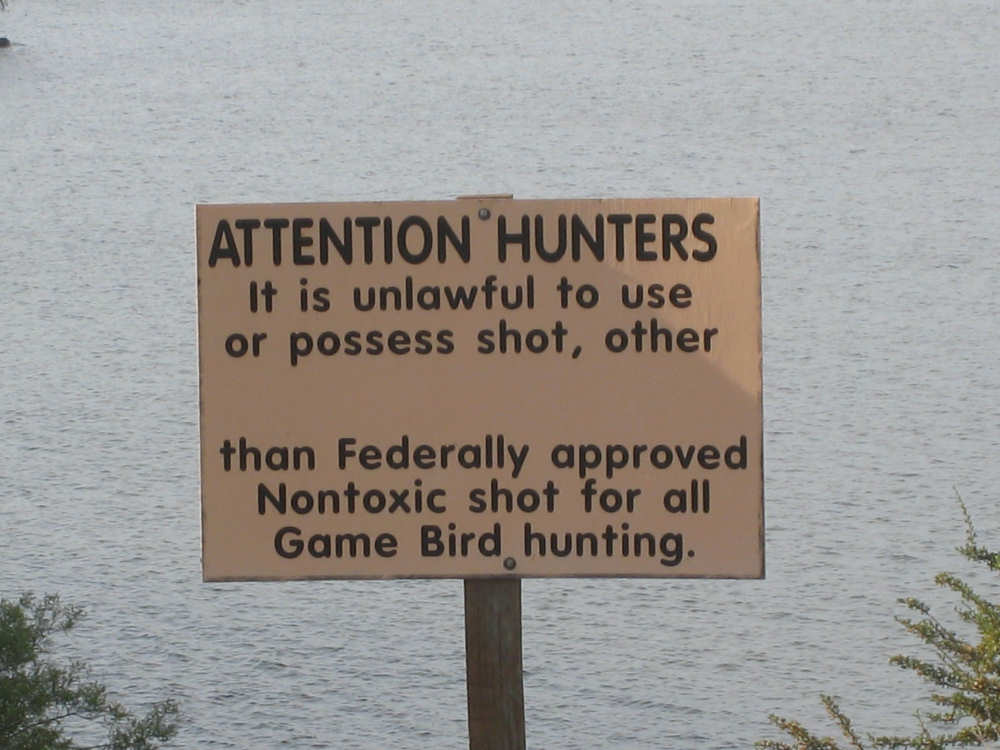
Rules in the Willow Creek Wildlife Area - |
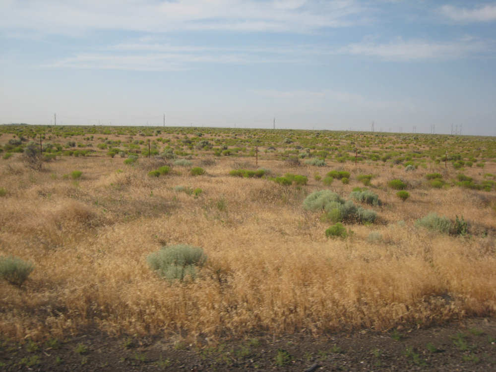
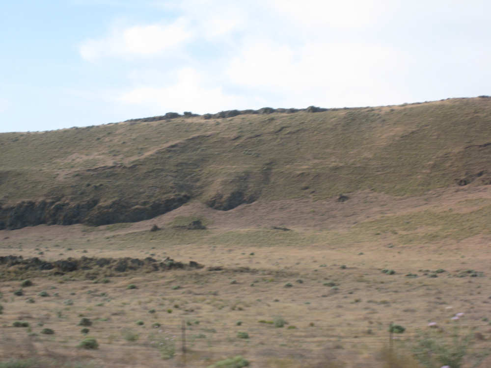
Oregon suddenly goes completely flat and looks a lot like southern Texas |
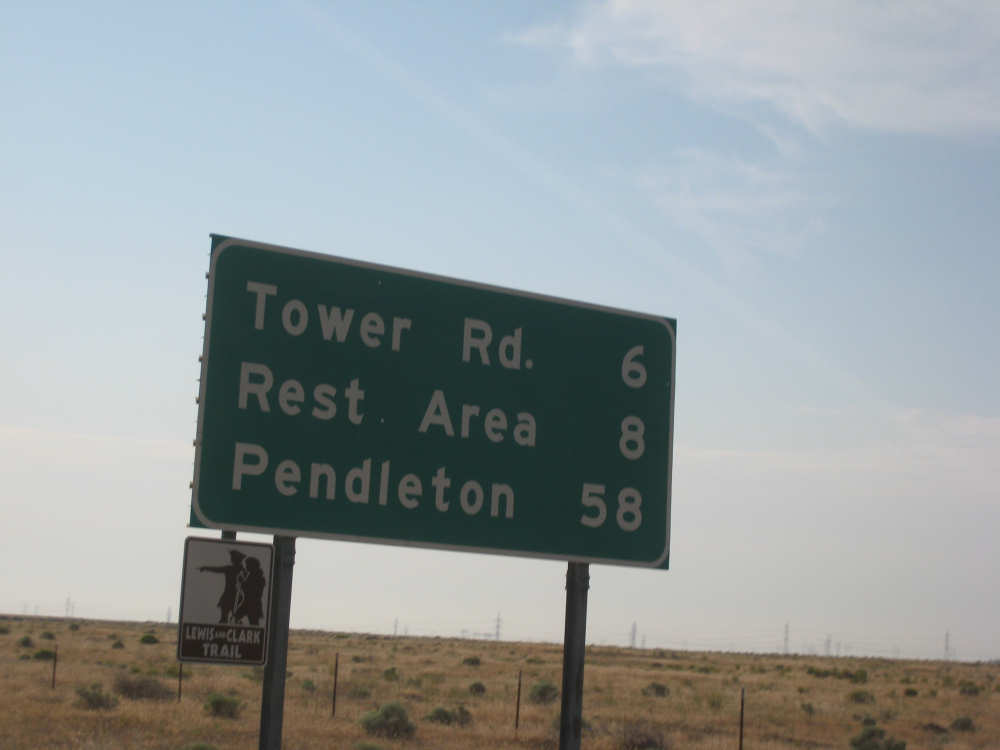
8 more miles to our rest area, and proof that we're still legitimately on the trail |
Crops nestled into the Washington hills |
Another of our favorite hills - this one looks like a sleeping turkey |
We start to see some ranches on the Oregon side... |
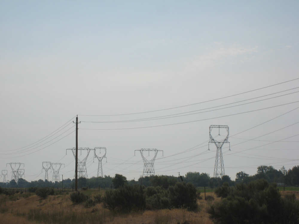
and long files of electric towers, looking like aliens marching down the field |
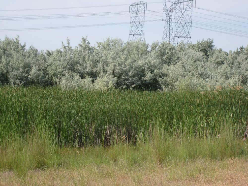
Wetlands near the Umatilla Wildlife Refuge |
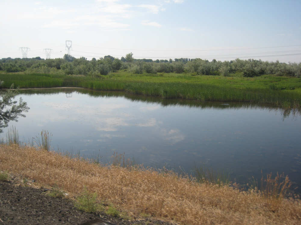
Another larger wetland area |
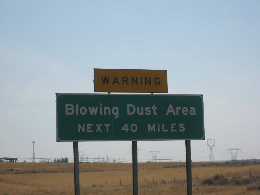
This sign was a little disturbing but we didn't experience any blowing dust today |

Crops were being watered all over the area |
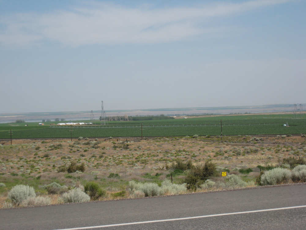
Crops and wild fields along the Columbia near Irrigon |

Rt. 730 stretches into the distance |
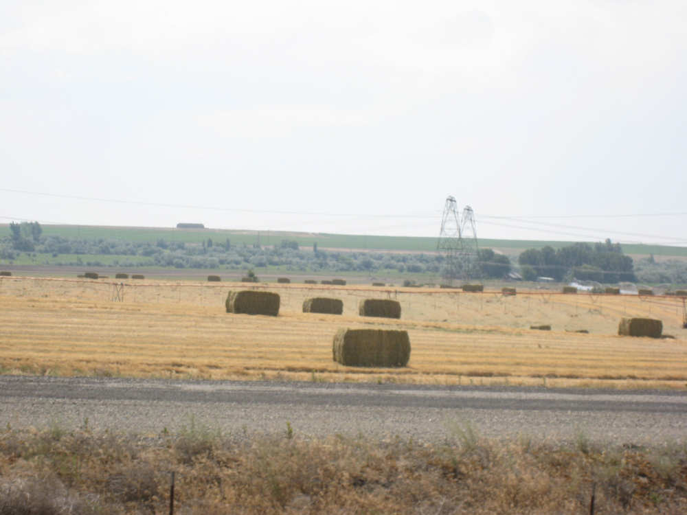
Hay bales laying in the field |
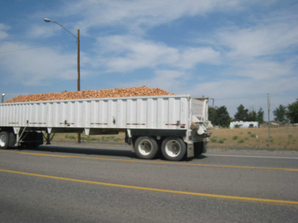
One of many onion trucks pass us |
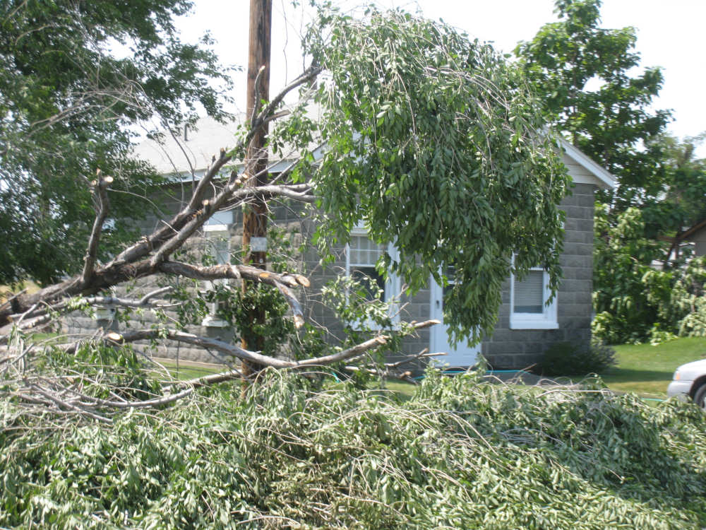
Tree damage in Irrigon |
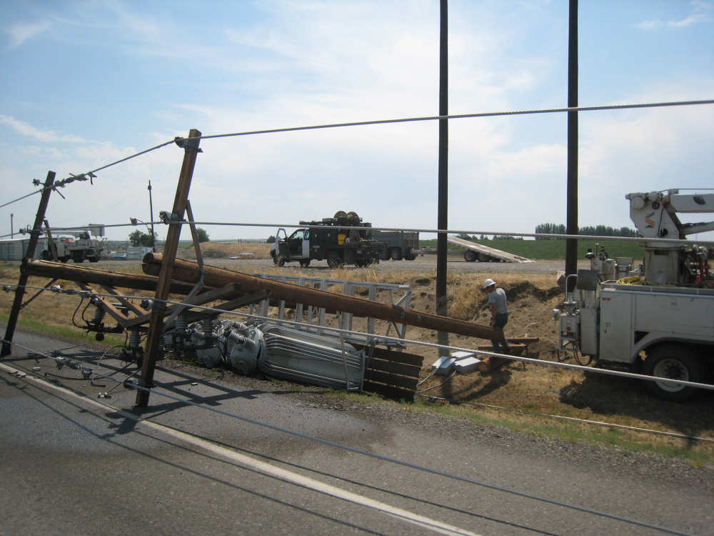
Transformers and phone poles in the road |
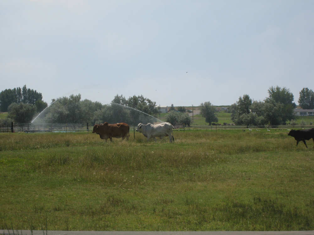
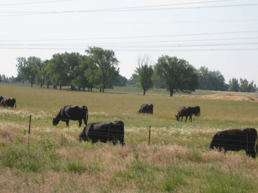
A couple of Brahmins march along, leading the rest of the herd |
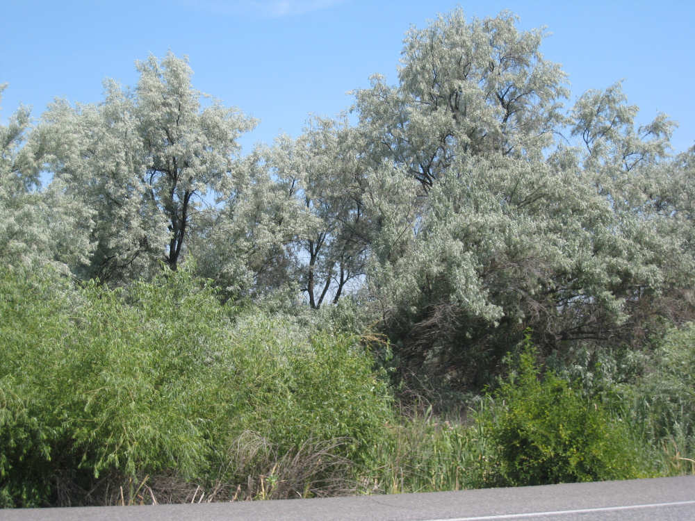
Tamarisk trees and reeds along the road |
Coming back to a good view of the Columbia |
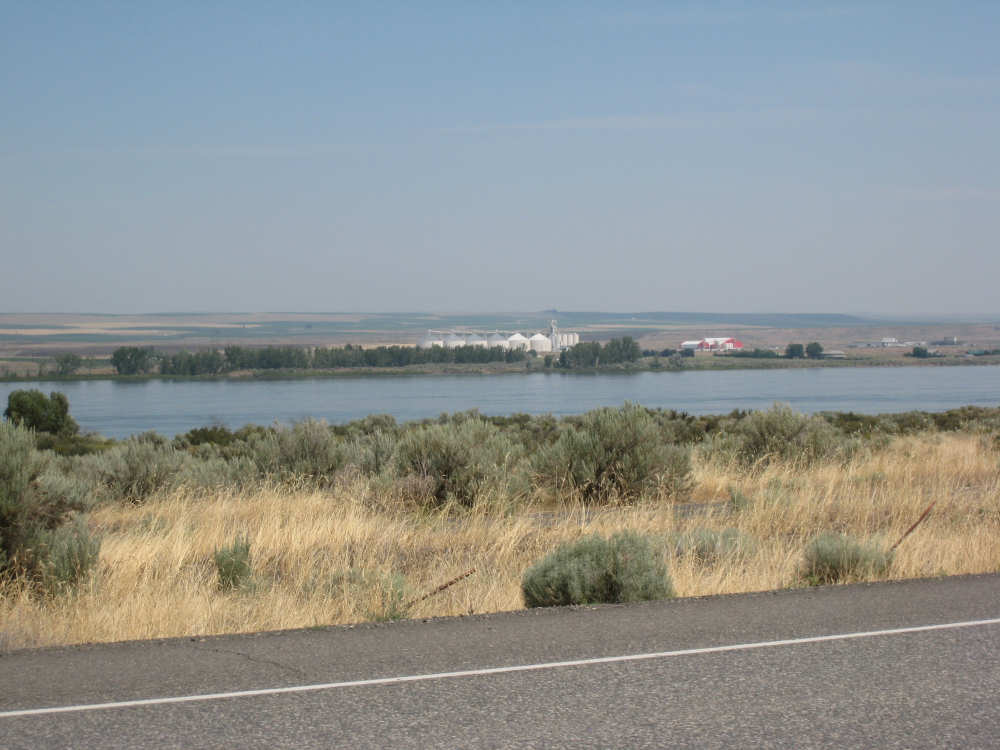
Grain silos on the other side of the river near Plymouth, WA |
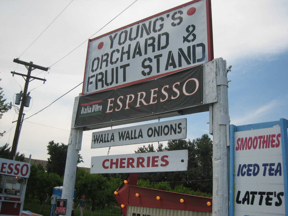
Our cold drink stop, also offering large bags of Walla Walla onions |
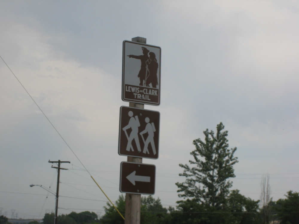
There were a few of these hiking spots related to the Lewis & Clark trail along 730 |
The Umatilla River, at the edge of town |
The Umatilla flowing into the Columbia |