Monday, July 07, 2008
Lowell, ID to Powell, ID
40 miles (5755 total miles)
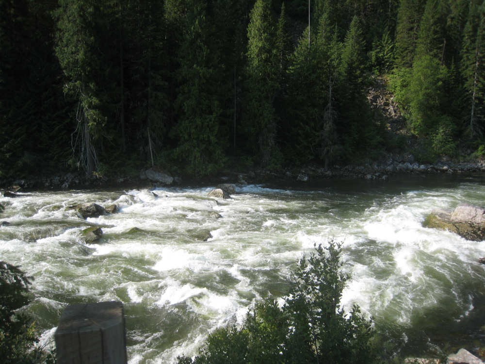
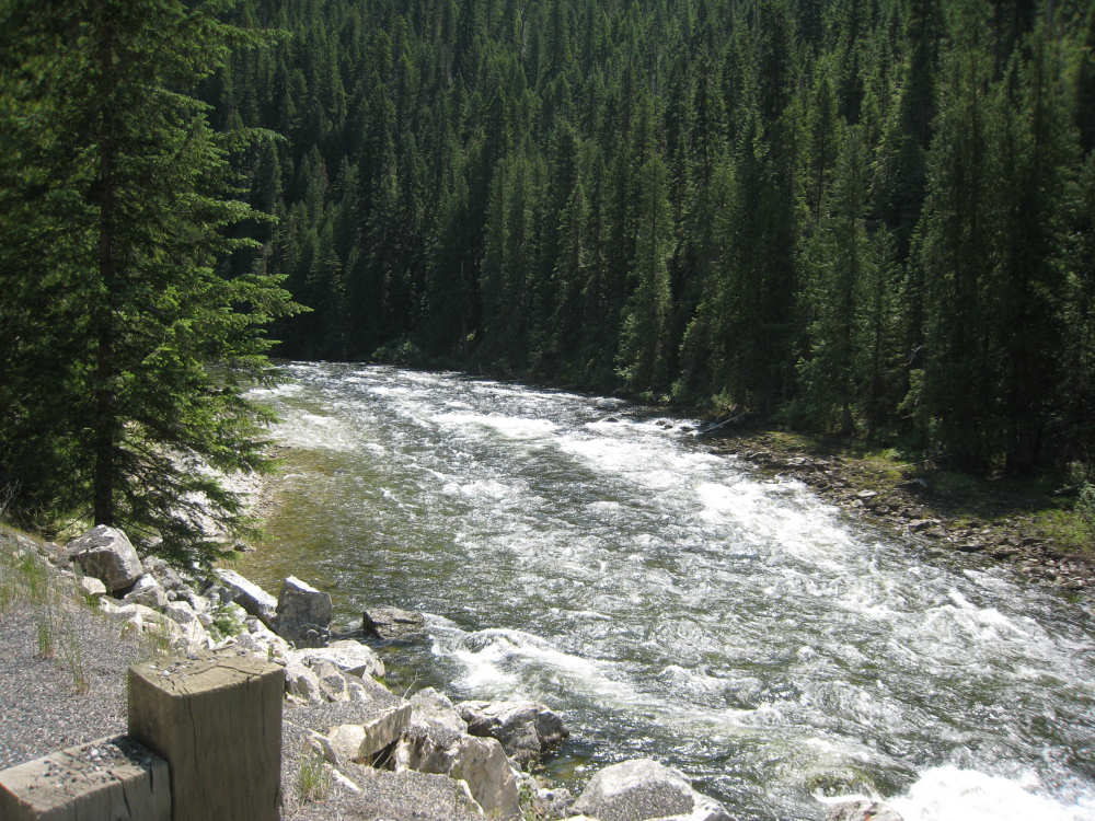
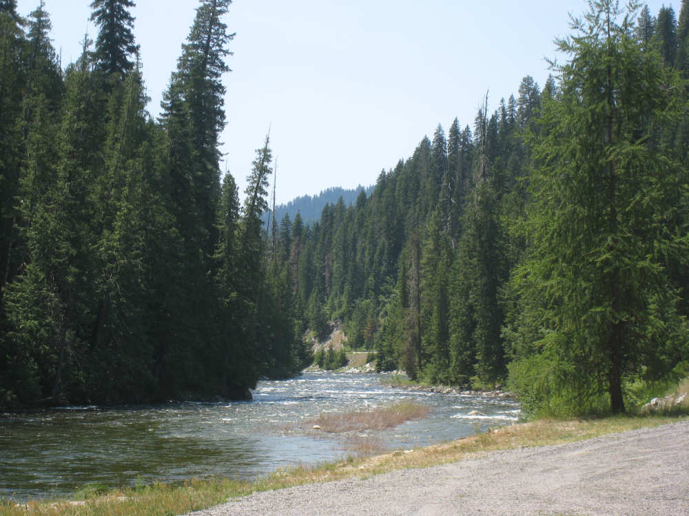
Another relatively easy day, although we still don't have cellphone or internet connection (this really IS wilderness!). We did more climbing than yesterday (going from about 2400 to 3500 feet) but it was still at a very reasonable rate of climb. The Lochsa River was a delightful companion all day long, and our beauty-to-effort ratio was extremely high, making for a very pleasant day. It was also a short day - a mere 40 miles - but it was completely without services, as was the last 25 miles of the day before. No towns, no restaurants, no gas stations, no stores, until our end point near the town of Powell. No coffee for 65 miles (this REALLY is wilderness!). I don't know how we survived it - and I didn't even whine or get cranky.
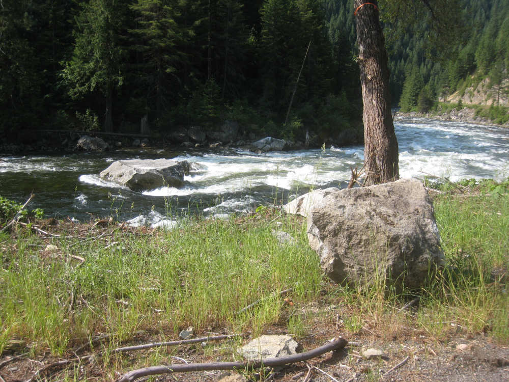
Pat had an interesting conversation with a retired school superintendent at the campsite last night while I was working on the day's web page. He told Pat that there had been an avalanche last February in the area we'd be riding through and Pat recognized it from his description. There were trees knocked over on the slope and huge rocks had landed in the river. They had tied an orange streamer onto the tree next to the river to indicate how high the snow was there after the avalanche stopped sliding down the mountain. The waiter at the lodge tonight showed us pictures of the avalanche, including a semi that had been swept off the road into the river and nearly buried in snow (the driver somehow survived). The road was closed for several months of clean-up. The superintendent also told Pat that he had ridden up in an ATV to a saddle (a low spot between two mountains) up along the Lolo Trail and found 3 feet of snow there! I wonder if the Lolo Trail is even open now. One of the great things about being out in the Idaho wilderness at night is the number of stars jam-packed into the night sky! I recognized the Big Dipper lying low on the horizon, but everything else was too crowded with other stars for me to sort out. The superintendent told us the next morning that he heard wolves howling on the hills; we were closer to the river, which we could hear clearly, but which probably drowned out any other sounds. We haven't seen any wildlife - I expect they have learned to steer clear of folks when possible, but it may also be that I've been so focused on the river and the hills that I haven't looked into the forests closely enough.
We left camp at 7:15 despite getting up at 5 (it takes so much longer when we're camping!). It was cool enough this morning that we wore our jackets as we packed up to leave, but they were off by the time we put 5 miles in. Still, it stayed fairly cool near the river even though the sun got quite hot. We had trail mix and beef jerky to fuel us during the day and bagels and cream cheese for lunch. It was the first time we tried beef jerky, which we thought would be a good way to carry a lot of protein in a relatively light-weight form. It worked pretty well although we decided it was a lot like eating flavored leather. The scenery was much as it was yesterday - the fascinating river, the evergreen forests covering the hills, and the hills themselves, some of which are towering to 6,000+ feet. We passed 3 more pack bridges and a number of trails and campgrounds, but only one historic marker. We arrived at Lochsa Lodge, near Powell, at 2:30 and, immediately after checking in, sat down to some blackberry cobbler and brownie with ice cream (and of course, coffee for me and Pepsi for Pat). By the way, our waiter confirmed that the zip lines we saw really were zip lines and that he commuted to work on them every day!
We ended at just over 40 miles in just under 5 bike hours. The sad news is that we won't be following the Lochsa River anymore - we saw the last view of it at the end of the day today. Tomorrow will be a tougher day - the first 12 or 13 miles getting up to Lolo Pass will be a lot steeper than the last two days have been, but it will be downhill from there to Missoula. The Pass is right at the border of Montana, so we'll be entering our 19th state tomorrow as well as changing time zones. We should also reach another bike milestone which we'll tell you about then. Hopefully, we'll have cellphone access in Missoula so we can catch you up with the last two days.
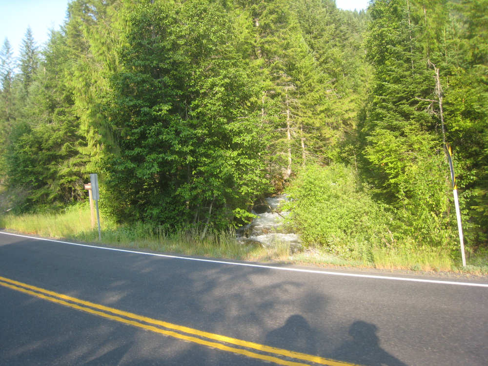
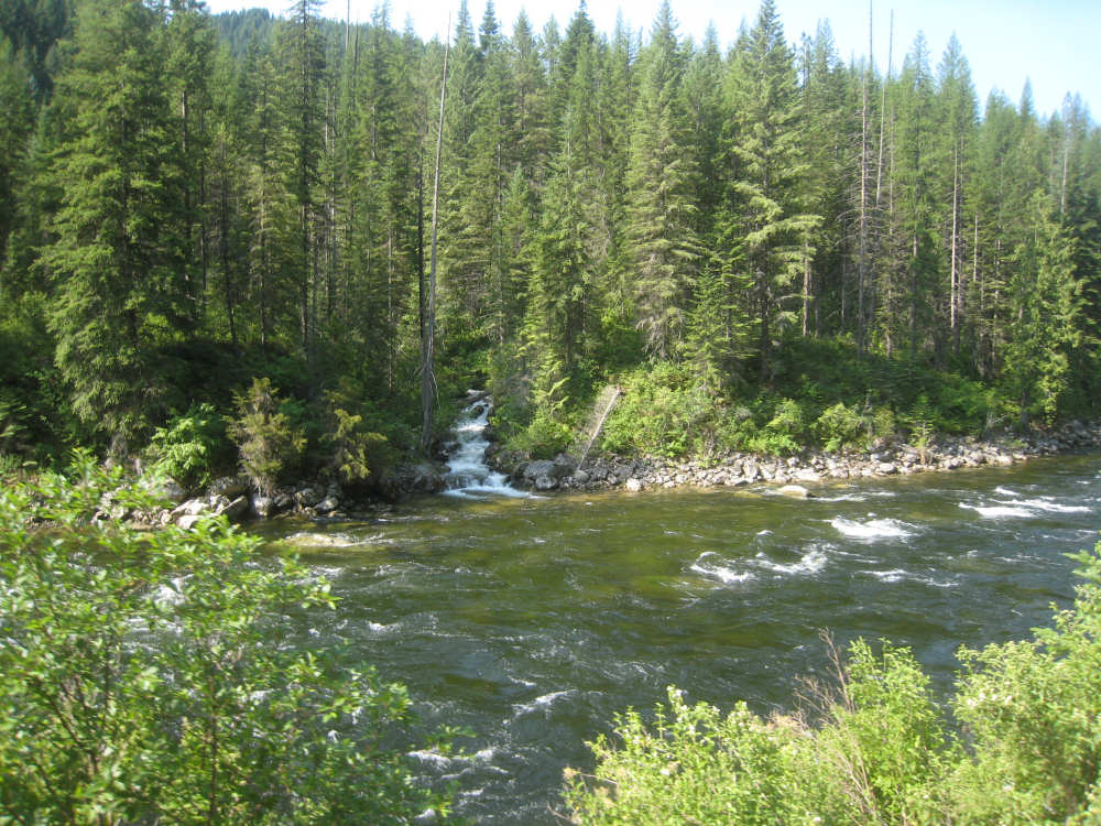
A creek comes down the mountain to join the Lochsa River |
The river gurgles past us |
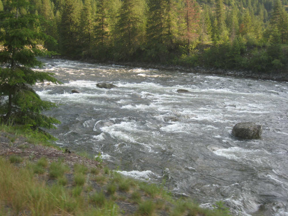
Going around one of many bends |
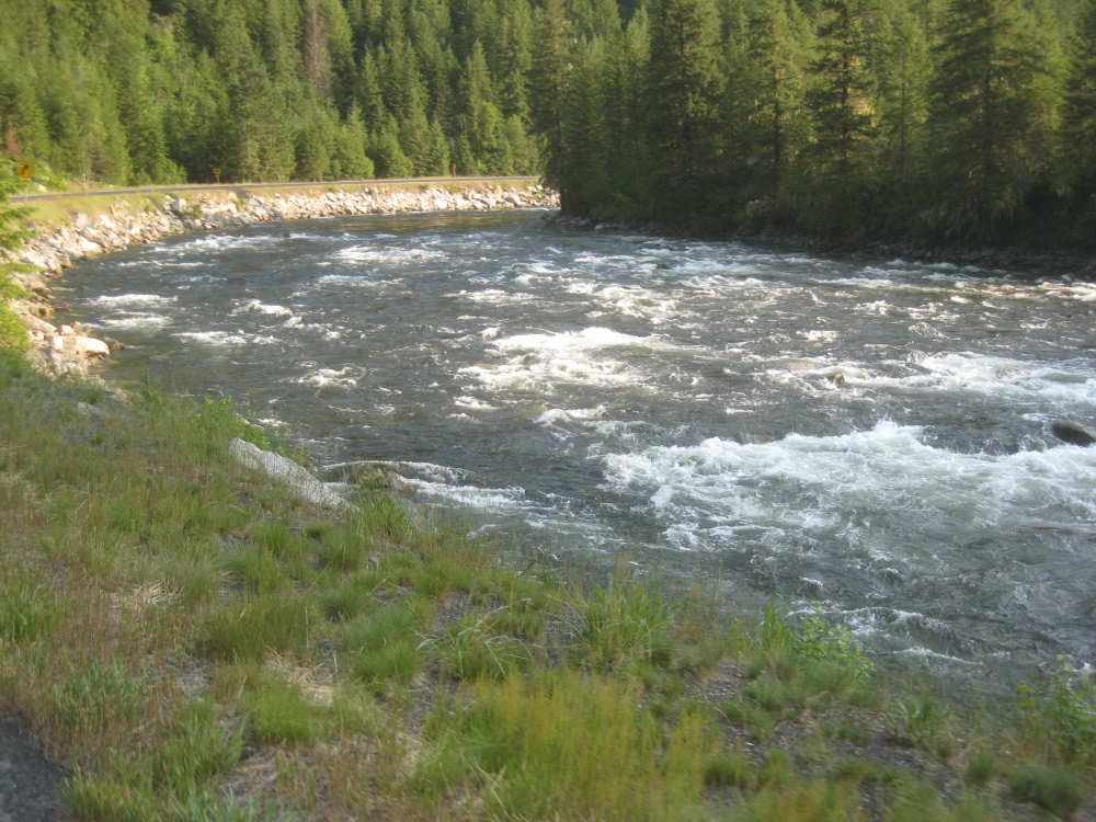
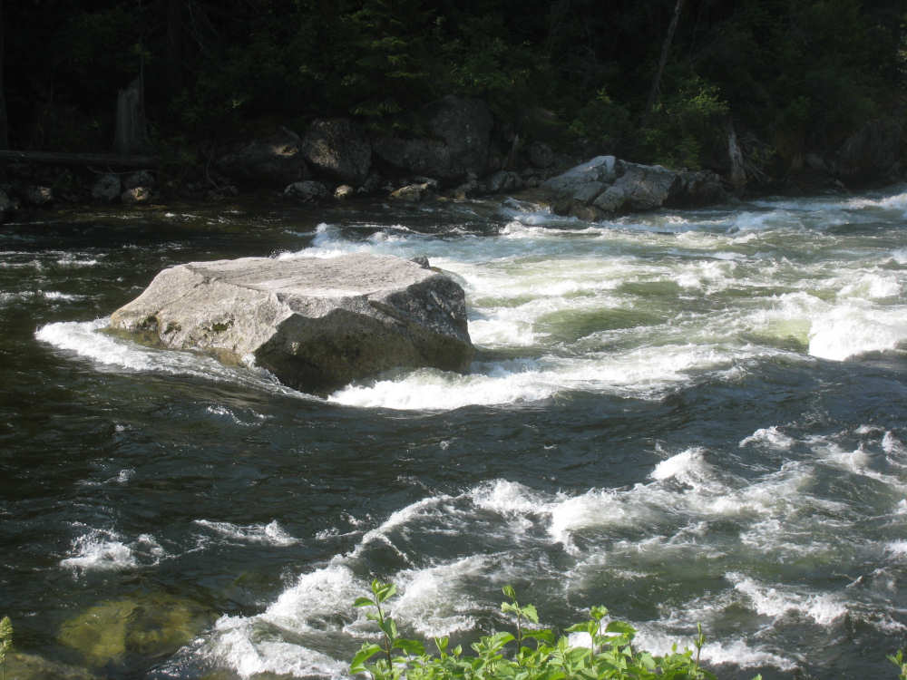
A still sheet of glass suddenly encounters rocks and becomes turbulent |
|
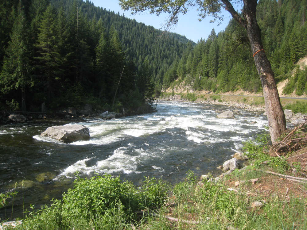
The river at the scene of the avalanche - |
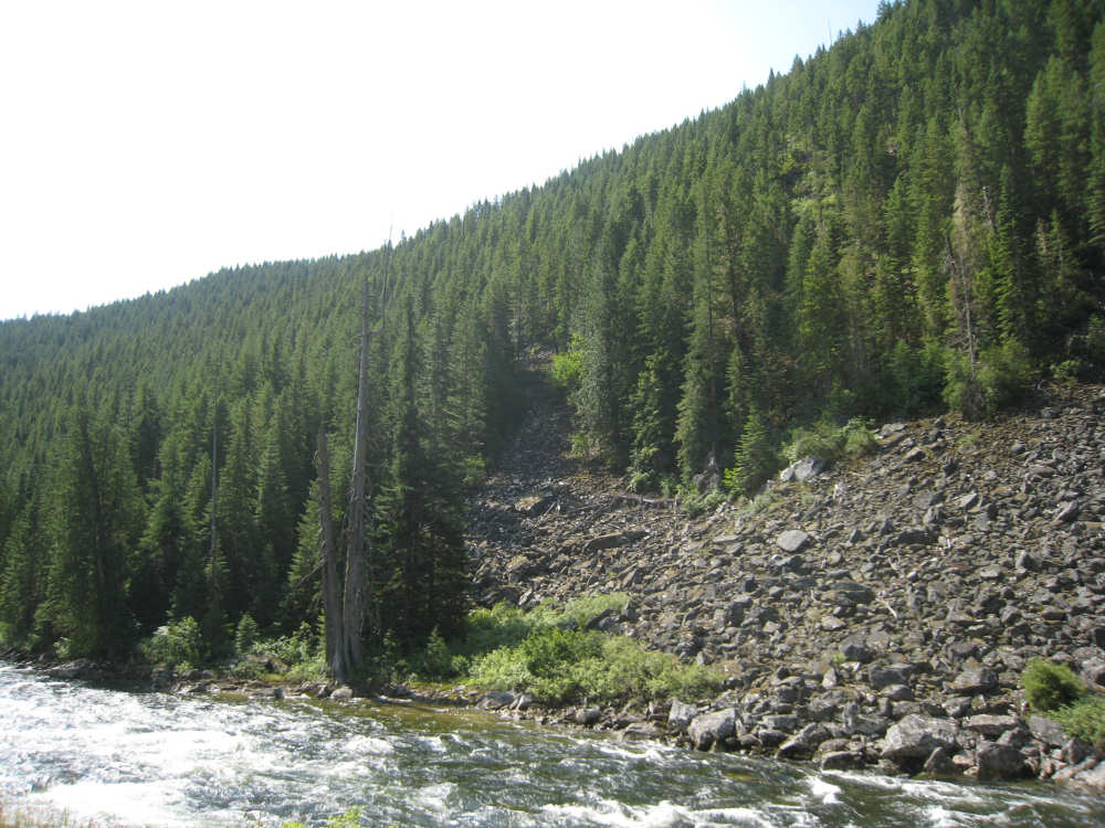
The mountain side where the avalanche occurred |
Another huge rock stopped short of the river and the tree |
A close-up of the rock in the river... |
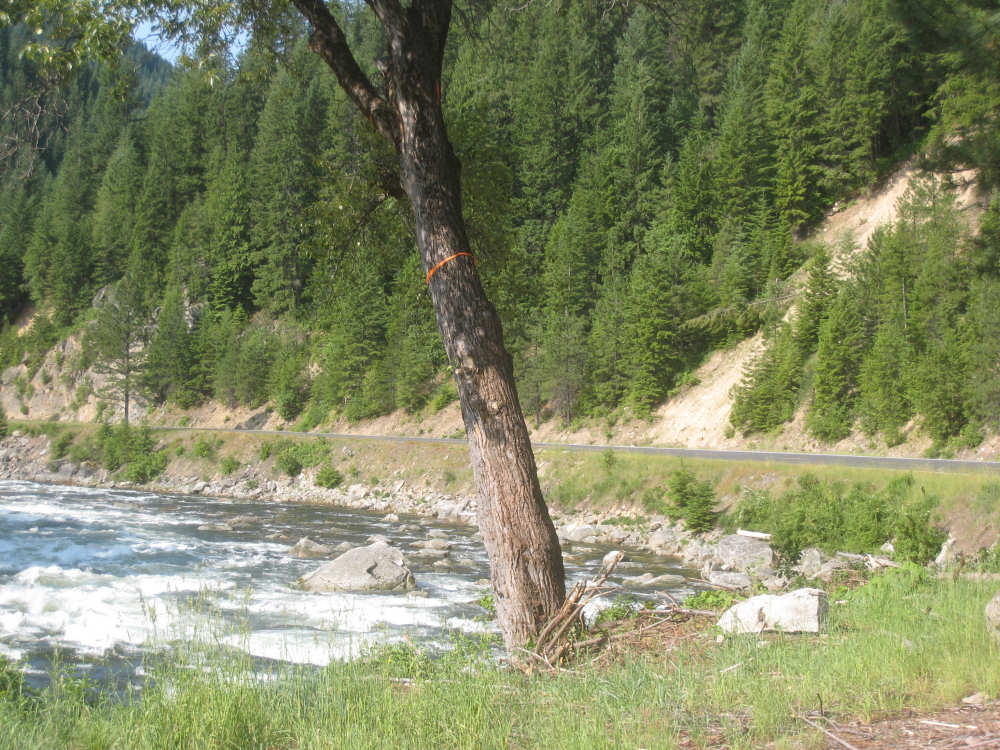
and of the tree with the ribbon showing the snow height |
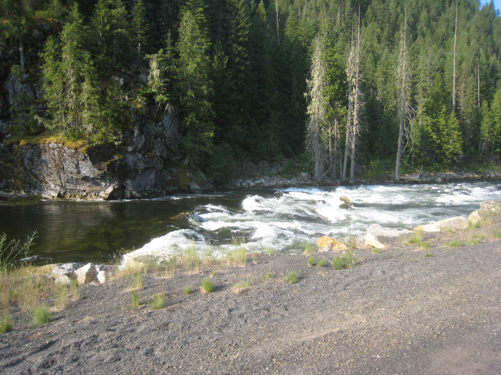
Other rocks a little downriver from the avalanche |

Tree debris stuck on a rock and at the edge of the river |

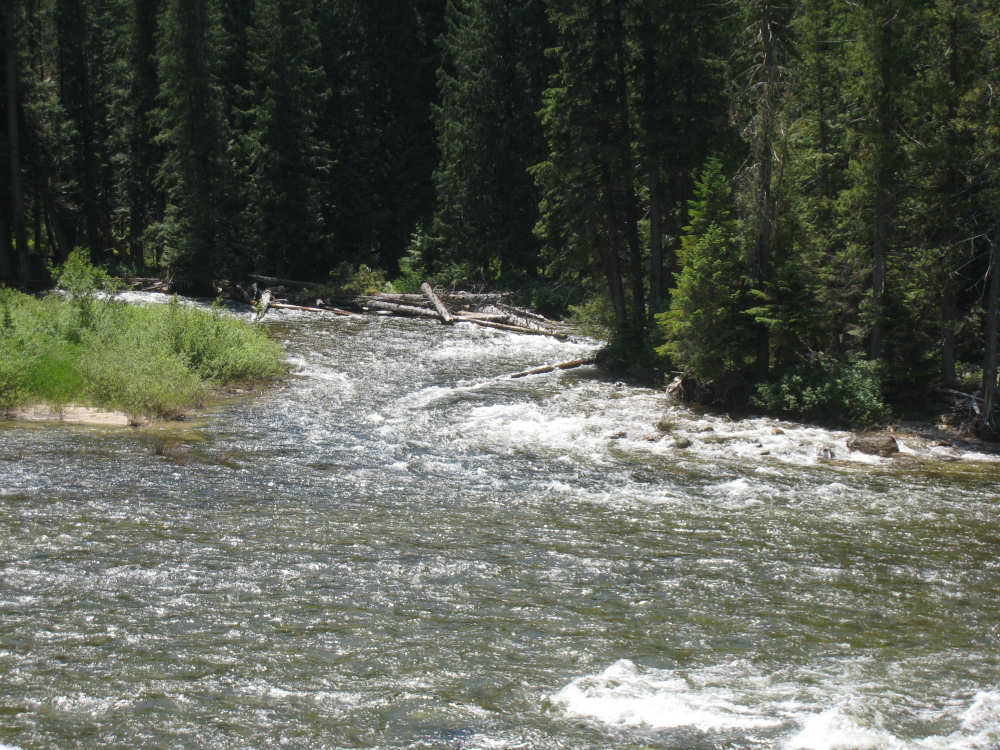
Another large creek joins the river from the south side |
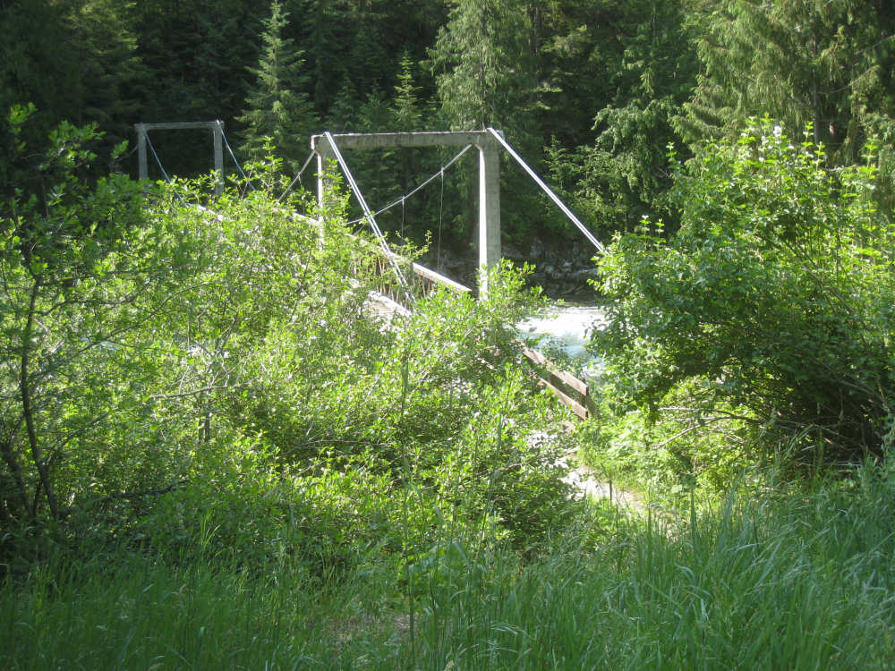
The Eagle Mountain pack bridge |
A smaller creek trickles in |
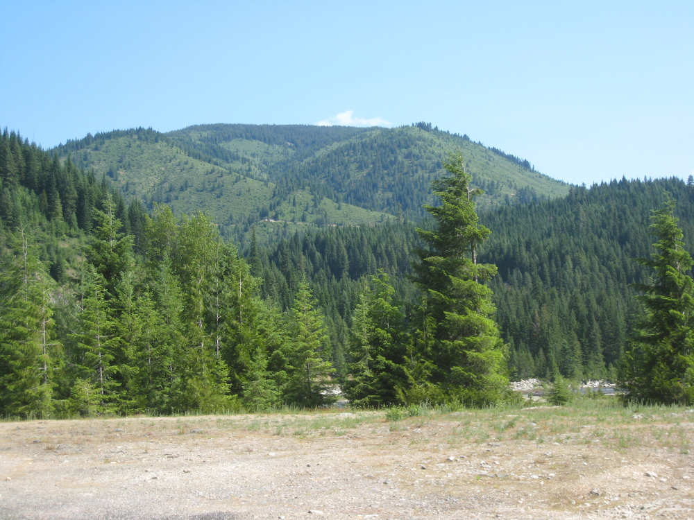
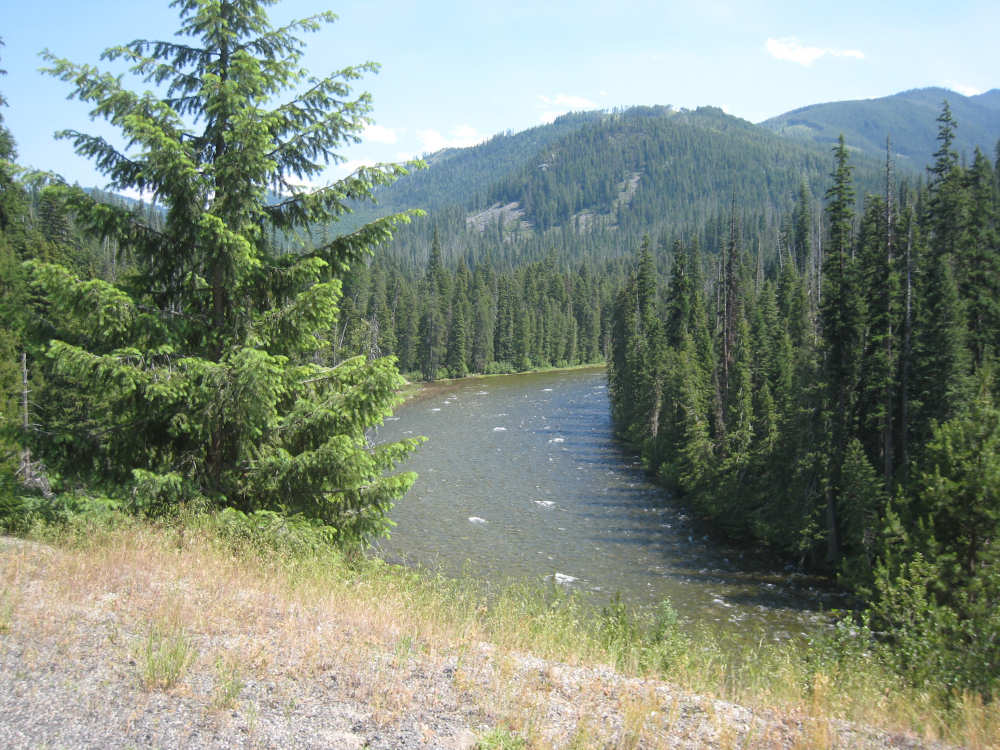
Impressive mountains in the distance |

Little waves lap up on a sandy shore |
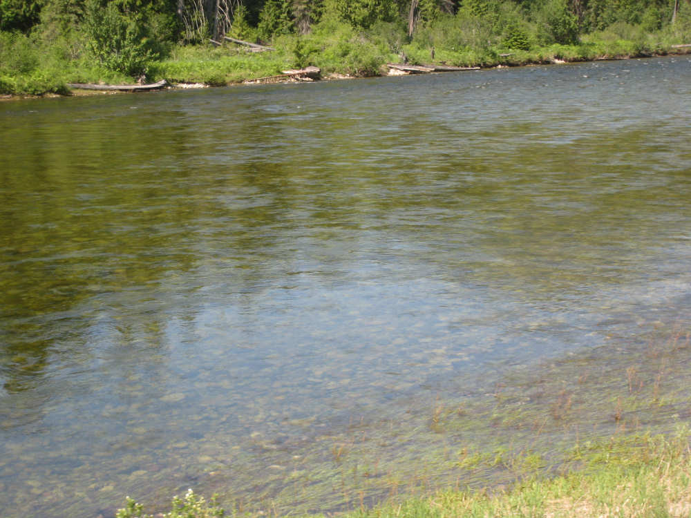
When the river is still, it is very clear - you can see the stones on the bottom |
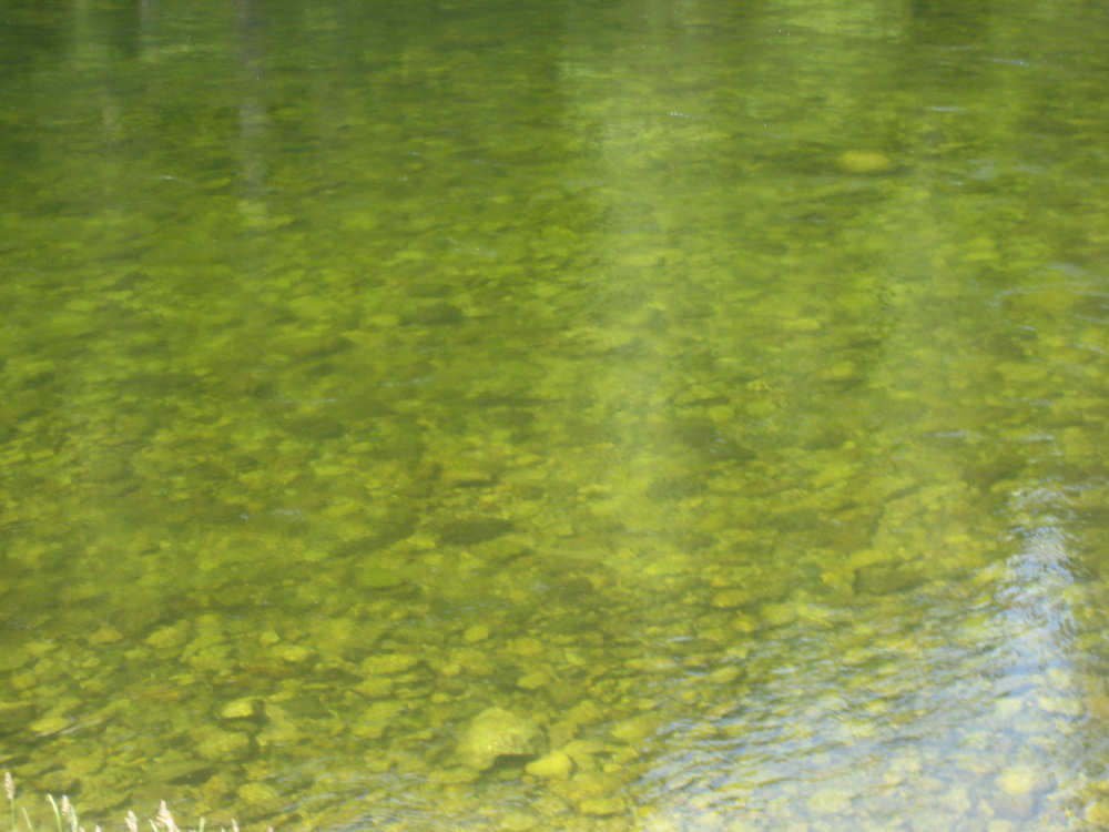
A close-up of the river, showing how clear it is |
Layers of tree-covered mountains ahead |
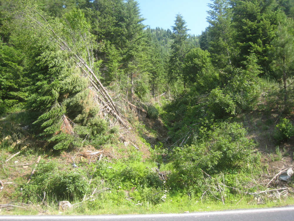
Signs of another avalanche? |
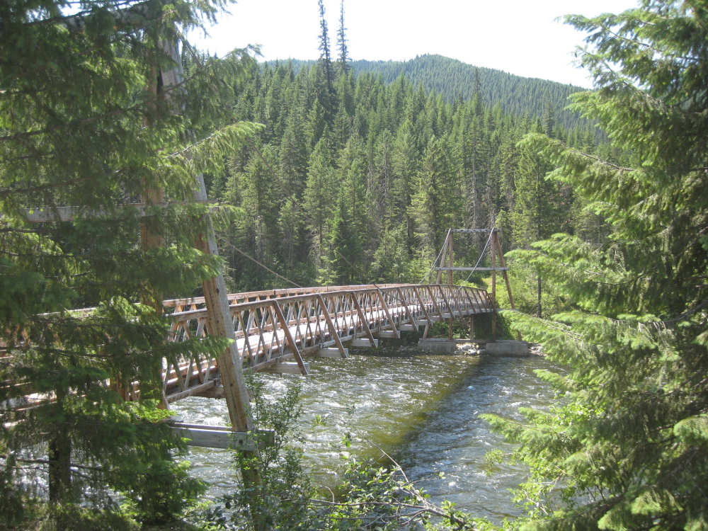
The Mocus Point pack bridge |
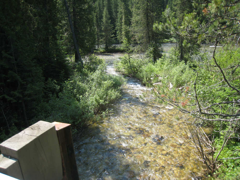
A creek joins the river from the north side, having crossed under the road |
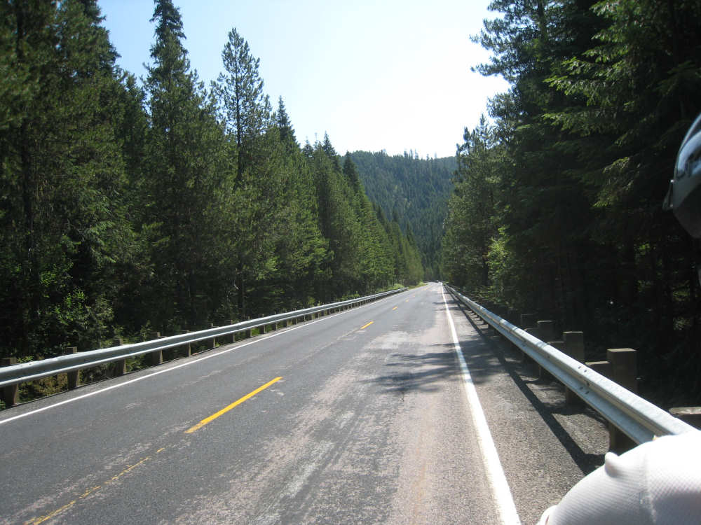
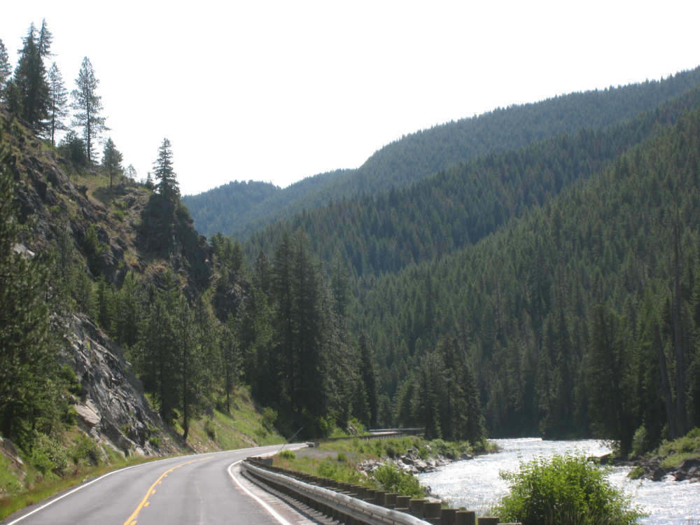
Route 12 - guard rails were actually fairly rare |
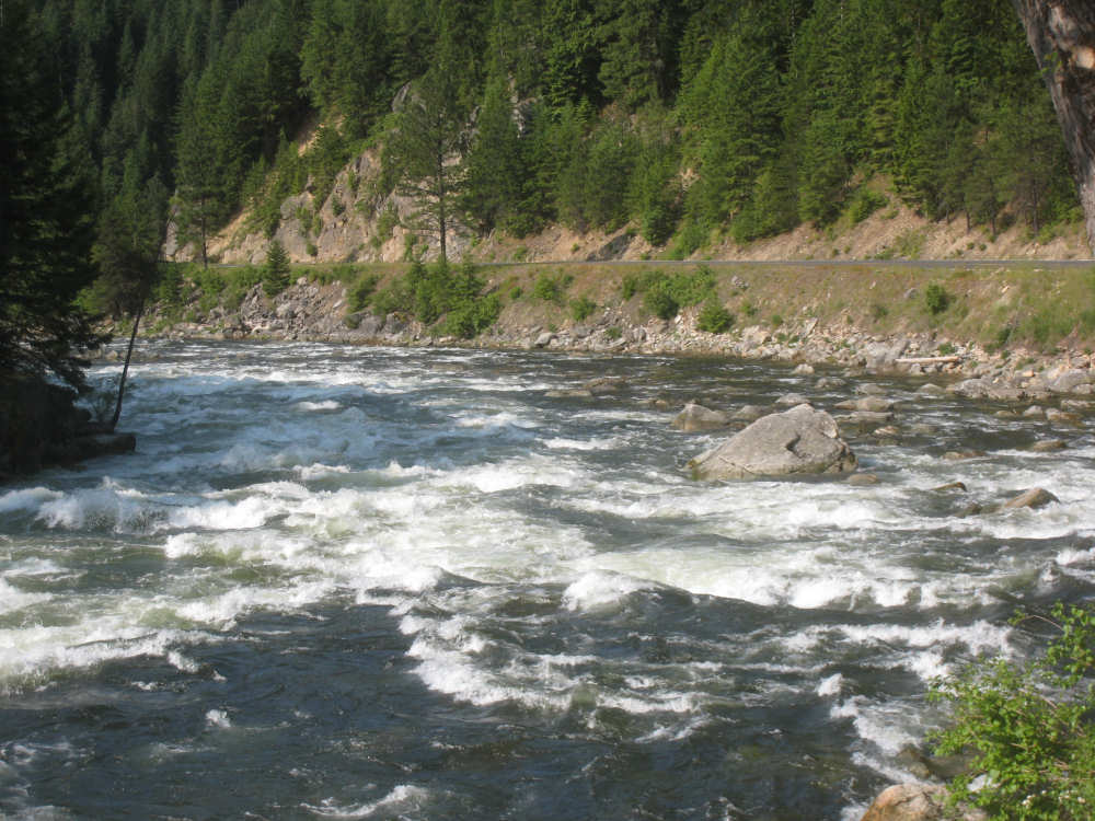
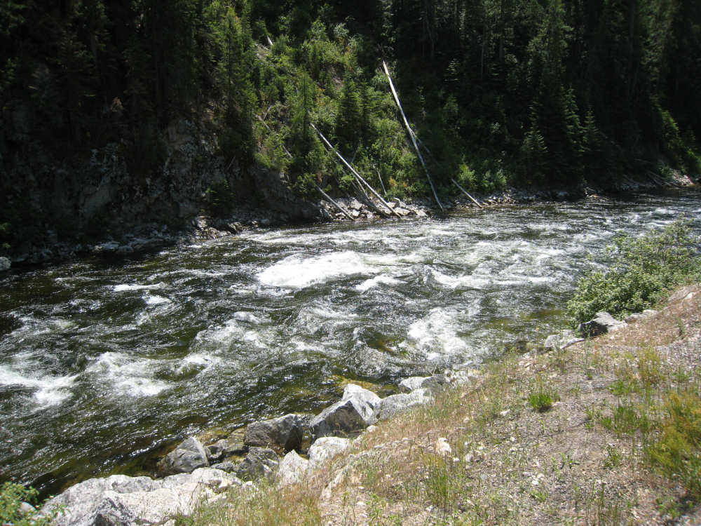
The river is a little lower than the road as we climbed |
More tree debris as the river slides around a small island |

The Warm Springs pack bridge |
Just another pretty view of the river |
And another |
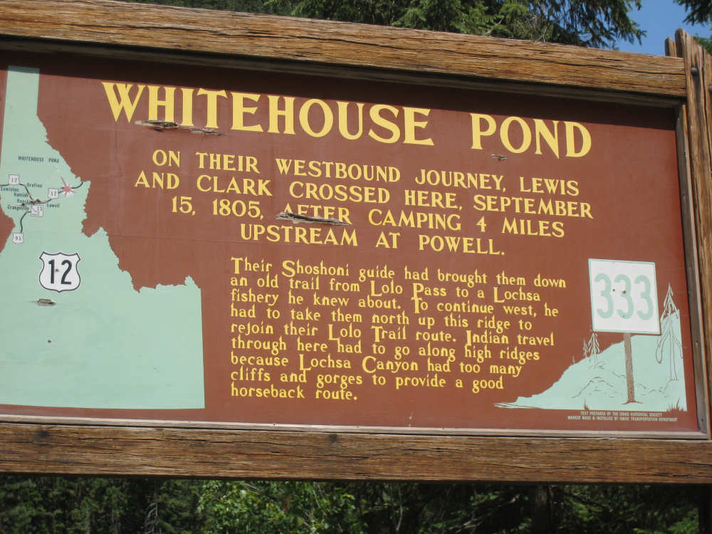
Our one historic marker of the day |
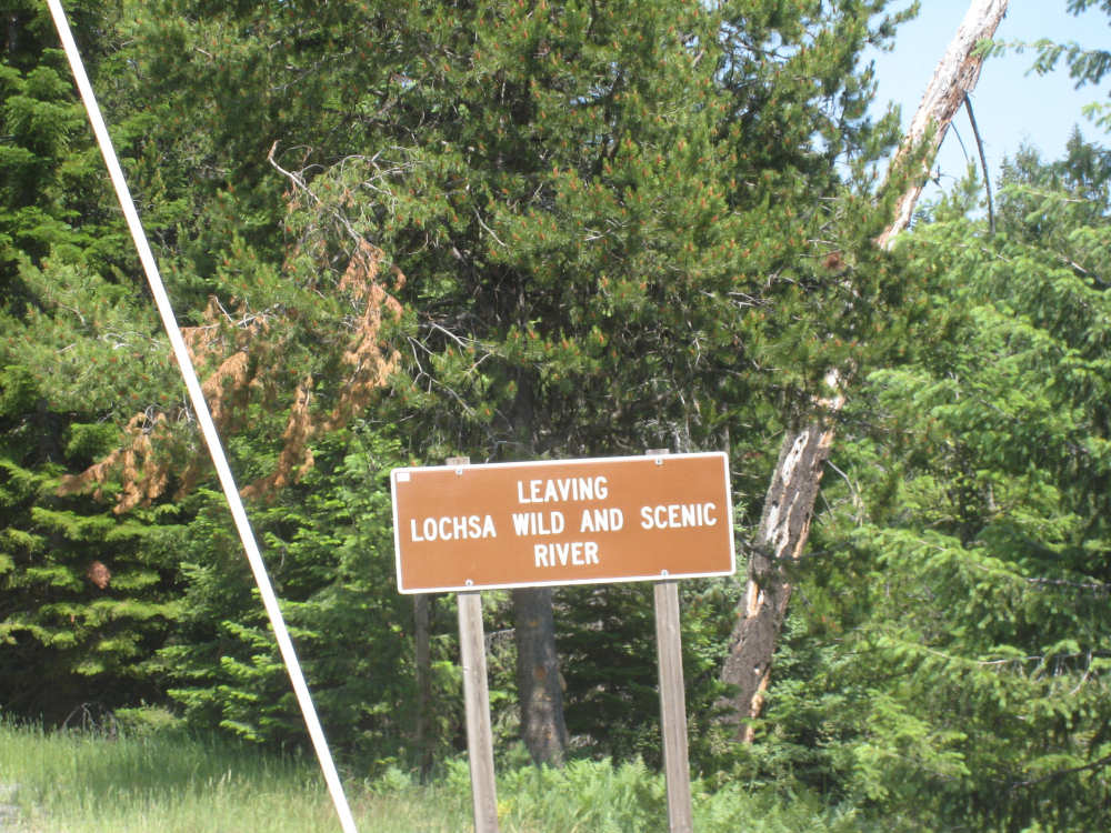
A sad sign at the end of our journey today |
Our last view of the Lochsa |

The main building of the Lochsa Lodge |

The lodge's old-time gas brand with new-time prices |