Tuesday, July 08, 2008
Powell, ID to Missoula, MT
57 miles (5812 total miles)
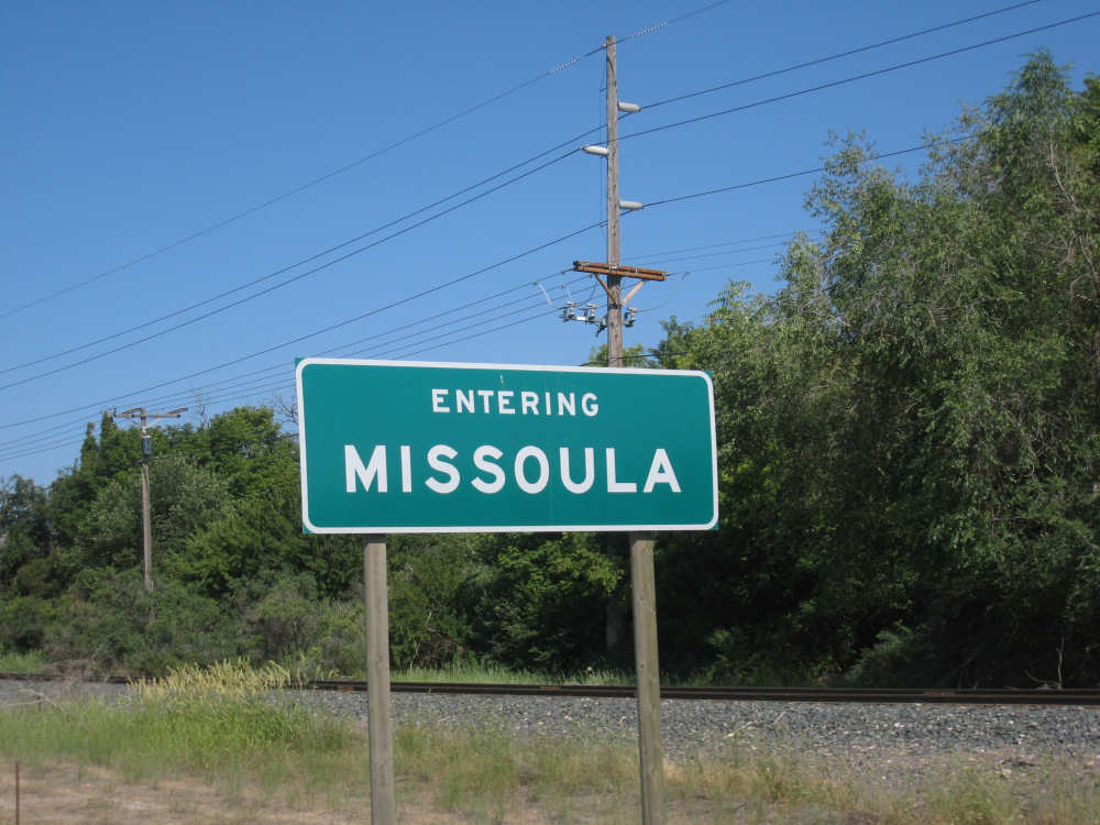
Sorry for the delay in today's posting, but we were hoping putting 2 days of Idaho up at once would keep you busy for a while. We haven't been without some kind of internet connection for two days in a row before! That's Idaho for you. Missoula, Montana, on the other hand, is a very happenin' place, lots of hip people around, lots of bikes - must be the University of Montana influence. I think the rest of Montana might be a tad less civilized. But I'm getting ahead of myself.
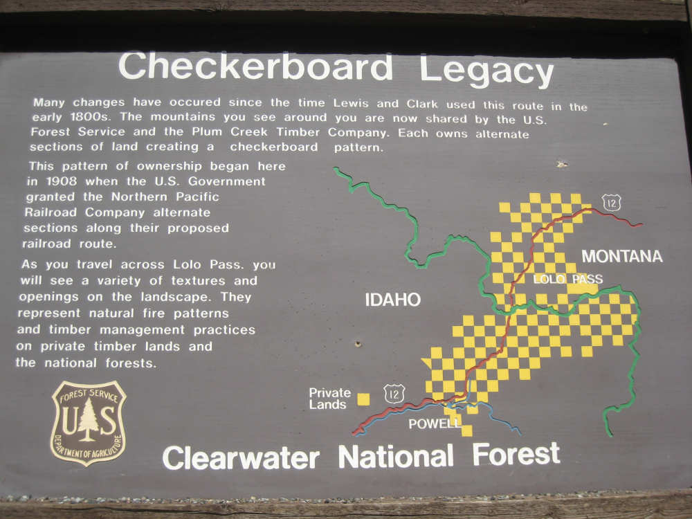
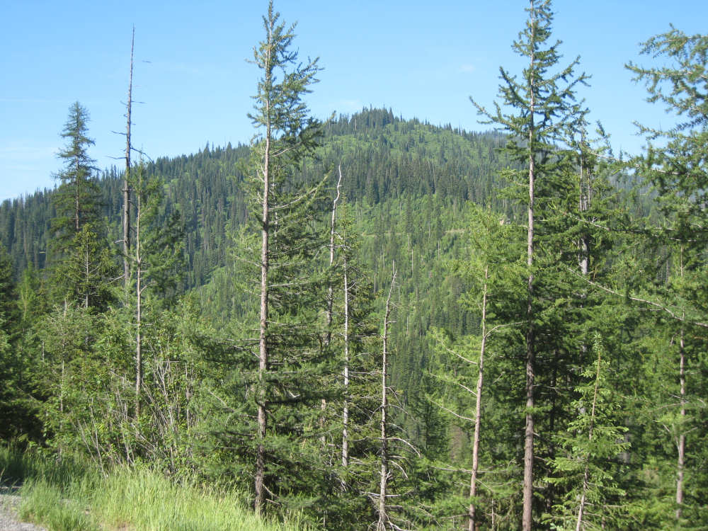
We made it up to Lolo Pass (5225 feet, according to the Visitor Center's sign) after 13 miles of climbing, the last 5 or 6 of which were fairly steep (5-6%). We were glad we saved it for the morning when we were fresher and the weather was cooler - 5% in the morning seems a lot easier than 5% on a hot afternoon. We had some great views of some snow-capped mountains around us near the top - there are a number of 6,000+ peaks around here. There were some historic markers along the way, one of them explained the "checkerboard" style of land management there which started early on when the railroads were trying (with no success) to lay track through the area. Acres of private land were mixed with acres of public land in a checkerboard pattern. Now the private lands are owned by timber companies. It seems to work fairly well, at least the cleared forests don't extend very far at any one spot. We visited the DeVoto Memorial Cedar Grove about 4 miles into the day. It was a lovely area set aside as a memorial to a conservationist and historian who edited Captain Lewis' journals and worked tirelessly at preserving the Idaho wilderness. There were some educational plaques amongst the trees, most of them geared for young children, and a picnic area right by the creek. We were accompanied by a number of creeks during the day, the Crooked Fork Creek to start with and the Lolo Creek for most of the end. One of the creeks had an interesting contraption in the middle of it and of course Pat had to stop and find out what it was. There was a woman working it and she said it was a spin trap with which she trapped cutthroat and steelhead trout from the stream to inject them with a tiny copper tag. These tags could later be used to identify and track the fish as they returned to spawn. Amazing stuff.
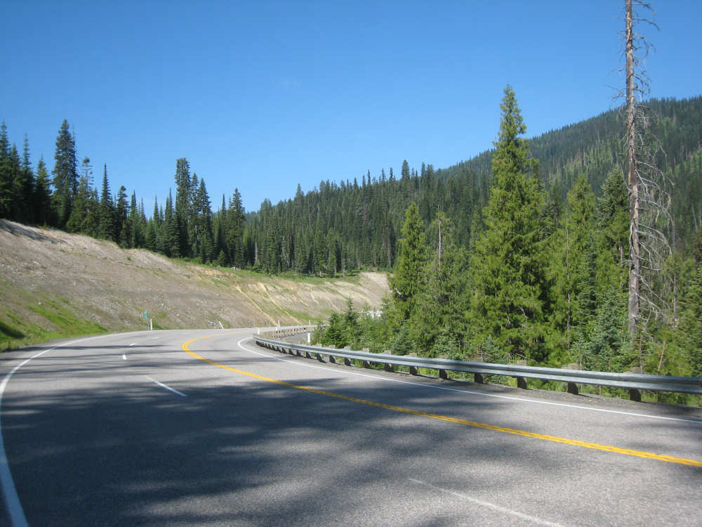
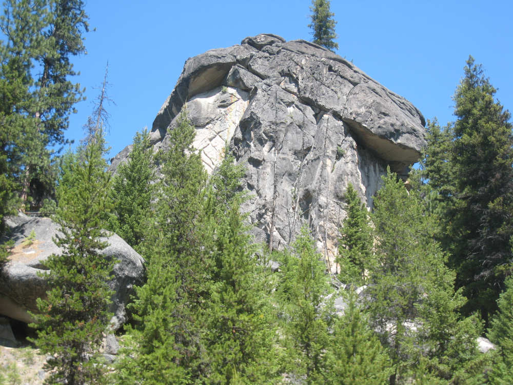
After we reached Lolo Pass and visited the Forest Service's information center there, it was pretty much downhill the rest of the day, fairly steeply at first but then much more gradually. The first things that struck us about Montana were these bizarre rock formations we saw - large piles of rounded rocks that almost looked like they might be sculptures. The trees on the hills also seemed thinner than the ones in Idaho where they were packed in as tightly as possible. We went through 2 towns on the way down - Lolo Hot Springs and Lolo - as well as ranches with horses, donkeys, and cattle along the road. There were a couple of snow-capped mountains visible from down here as well, one of which was Lolo Peak, elevation 9,096 feet! We passed one area with a lot of downed trees, all lying perpendicular to the slope instead of pointing downhill. I thought that was odd and wondered if there had been an avalanche here too, but later we saw a sign saying they had been blown down in a terrific wind storm back in 1995. I wish I had been quick enough to get a picture.
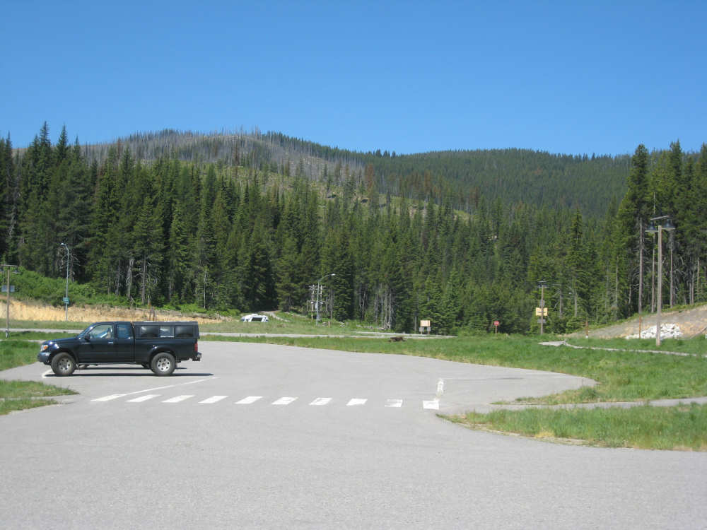
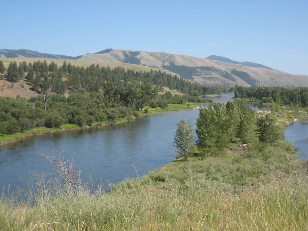
When we reached Lolo, we turned north and followed the Bitterroot River and Mountains into Missoula. Our Route 12 was joined by the larger Highway 93. It was a wide and busy road with a good shoulder, but it was getting hot and we were getting tired, so we didn't enjoy that stretch as much as we might have. Still, the mountains and the river were very pretty. We lost an hour at Lolo Pass when we entered Mountain Time Zone, so we arrived in Missoula at 5:30 which would have been 4:30, having left this morning at about 8. We did almost 57 miles in almost 5-3/4 bike hours. The big excitement of the day, though, was that our bike hit an overall 15,000 miles since we bought it almost 4 years ago! We celebrated by taking a picture of it at our motel.
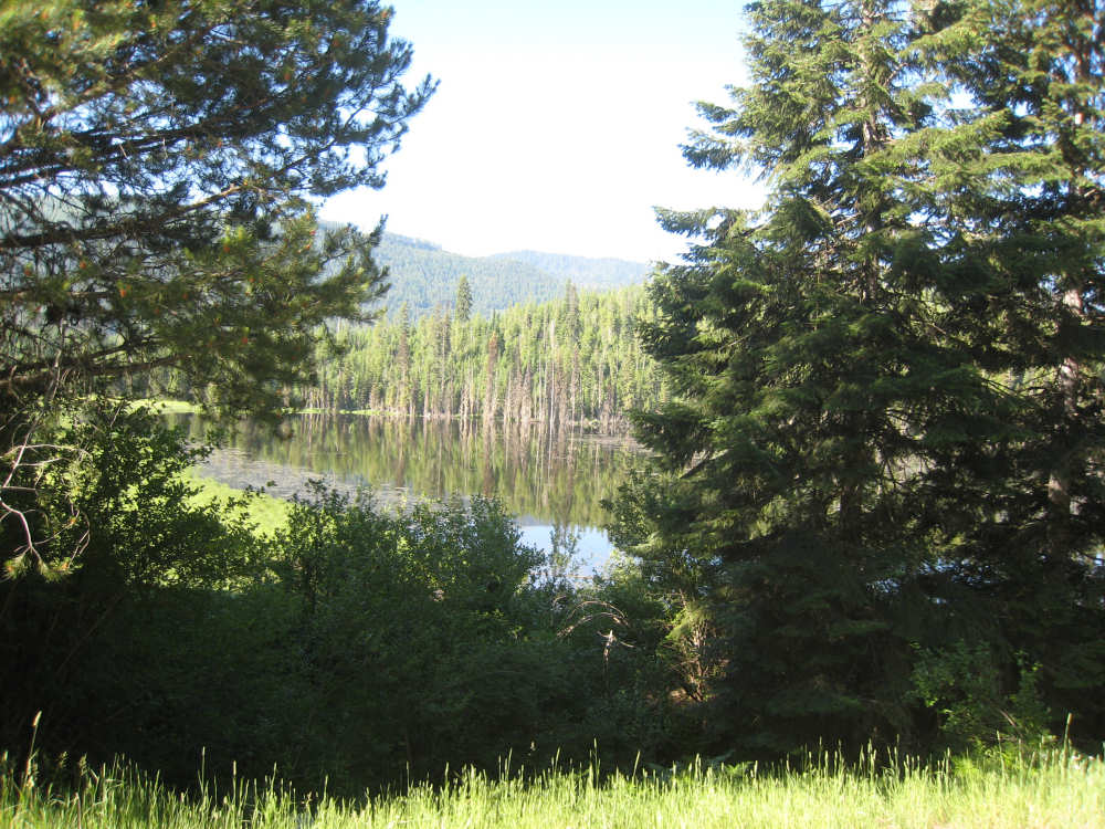
A marshy lake along the road |
Crooked Fork Creek gurgles next to us |
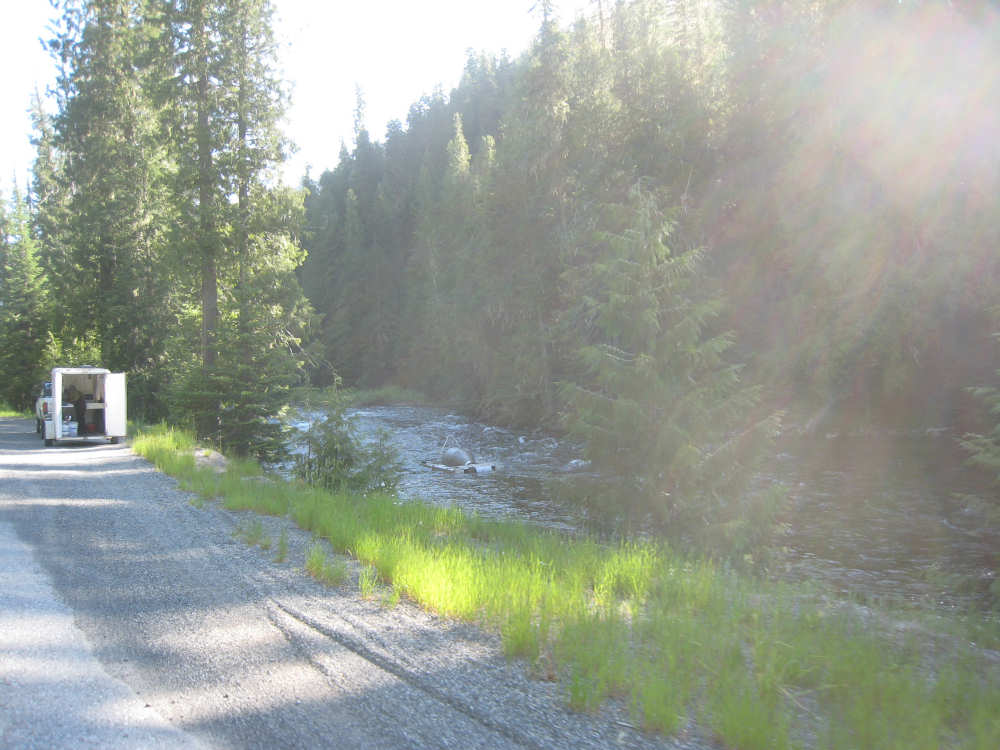
Pat spots this contraption in the creek |

This is what it looked like |
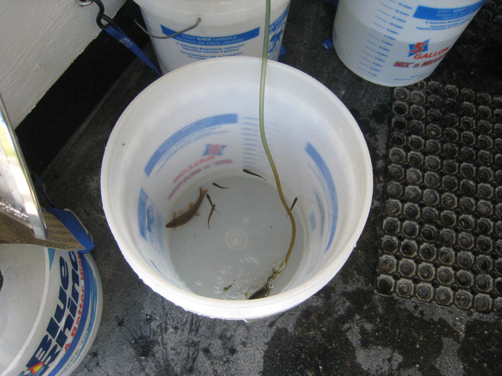
These were some of the small fish that were being tagged... |
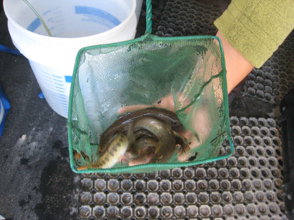
and these were the bigger ones |
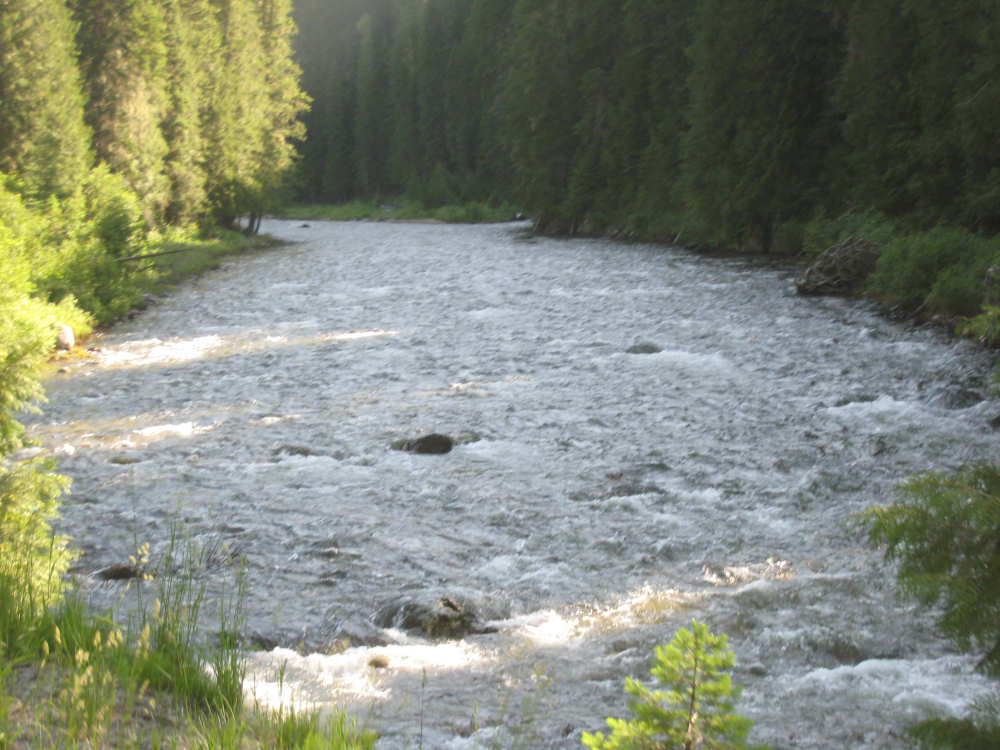
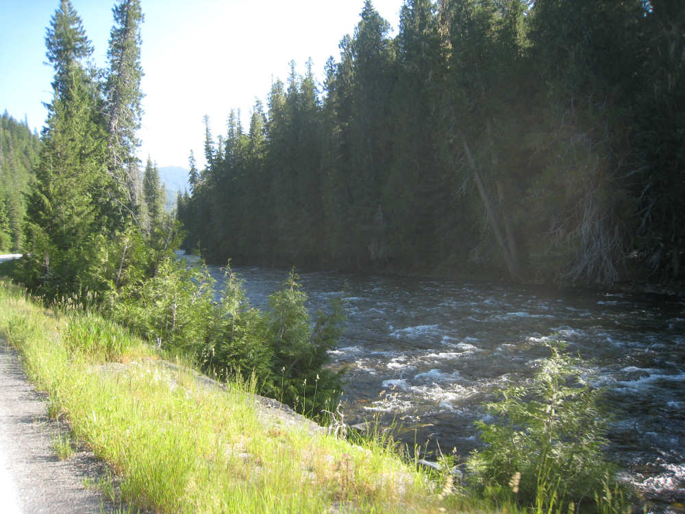
The creek hums happily along |
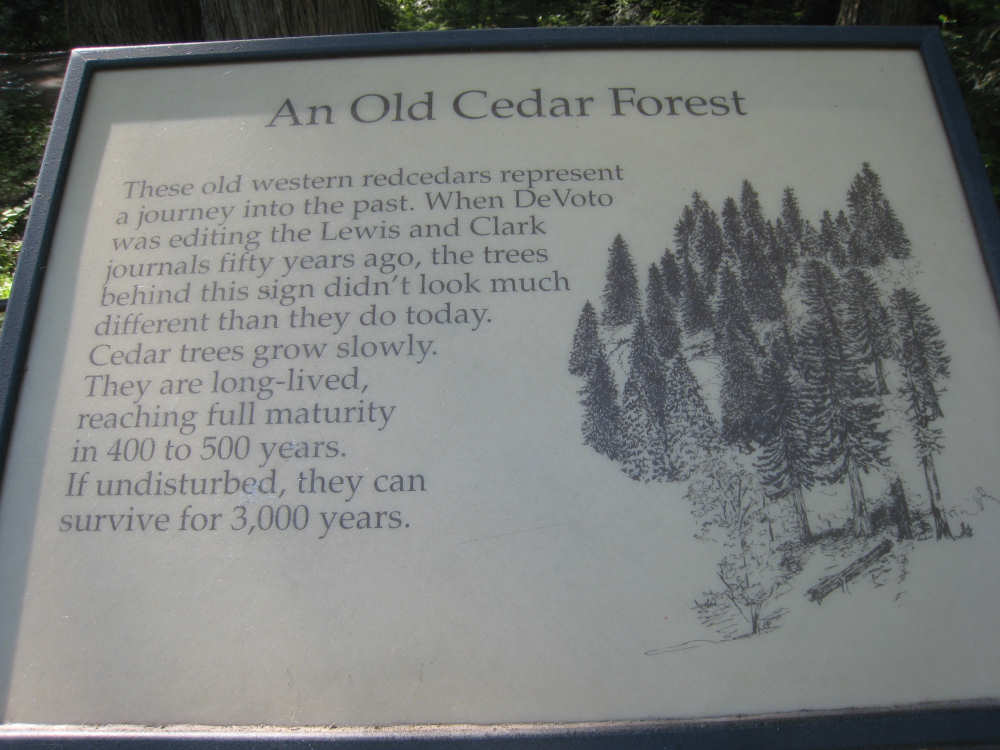
One of the signs at the DeVoto Memorial Grove |
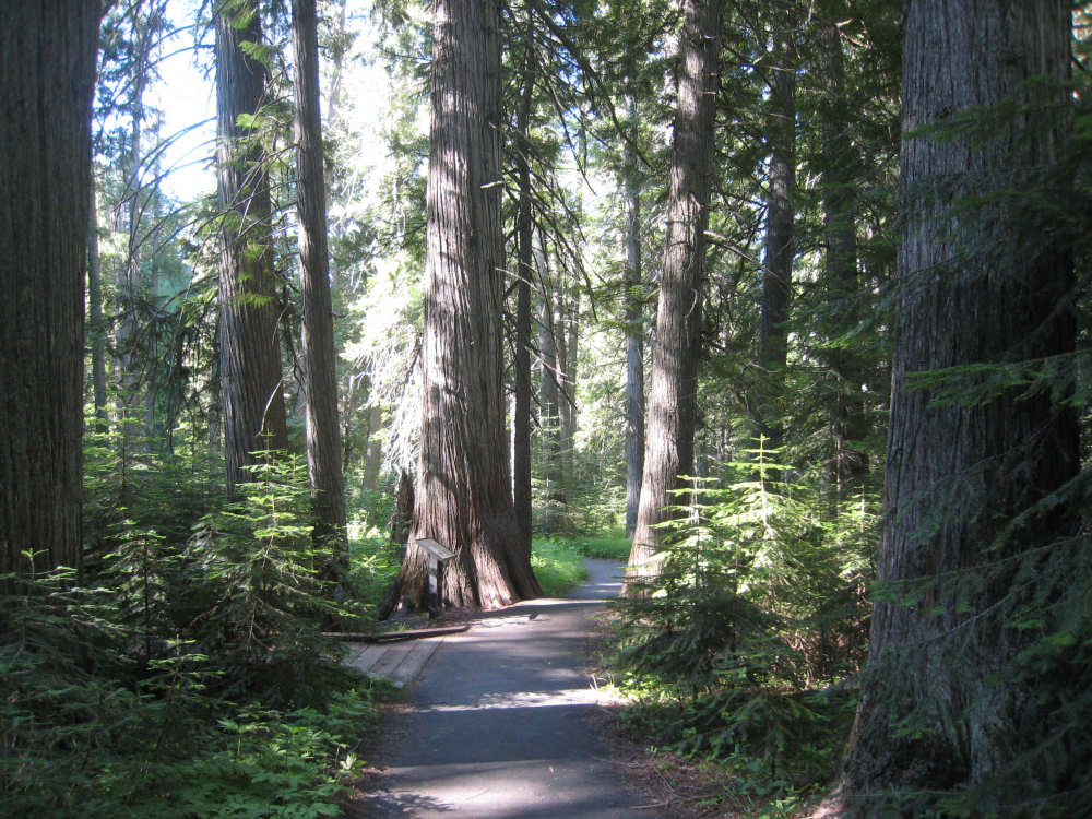
A path among the trees with educational plaques |

The memorial plaque by the creek |
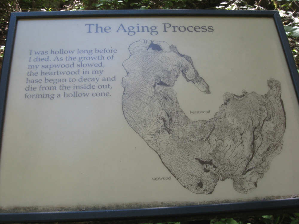
One of the educational plaques... |
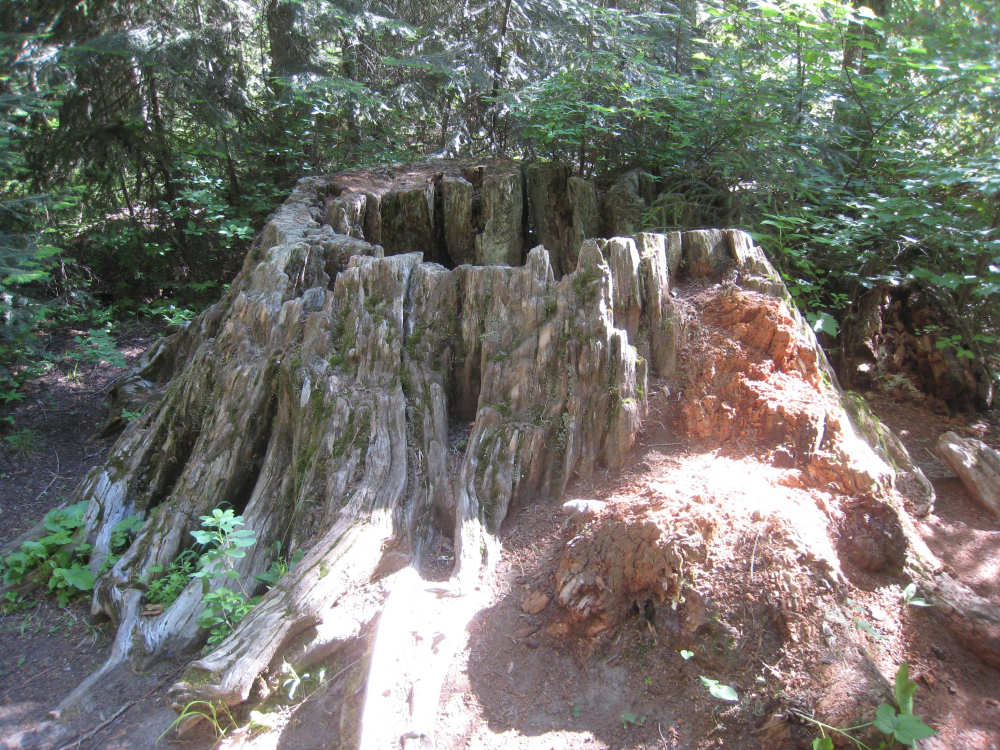
and an example of the aging process it talks about |

Back on the road and a more tumultous part of the creek |
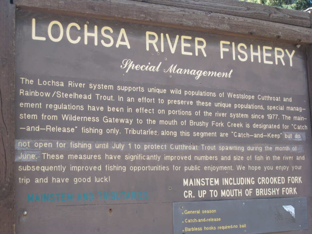
This sign talks about the fish they're trying to preserve |
On the steep part of the climb to Lolo Pass |
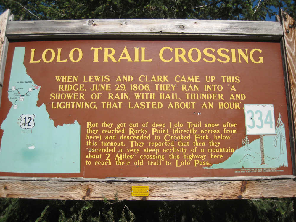
Two markers part way up the climb |
|
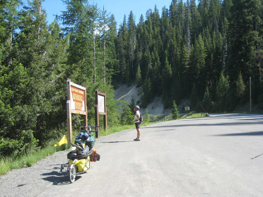
Pat studies the historical markers |
And I check out the view - we're getting near the top! |

A snow-capped mountain in the distance |
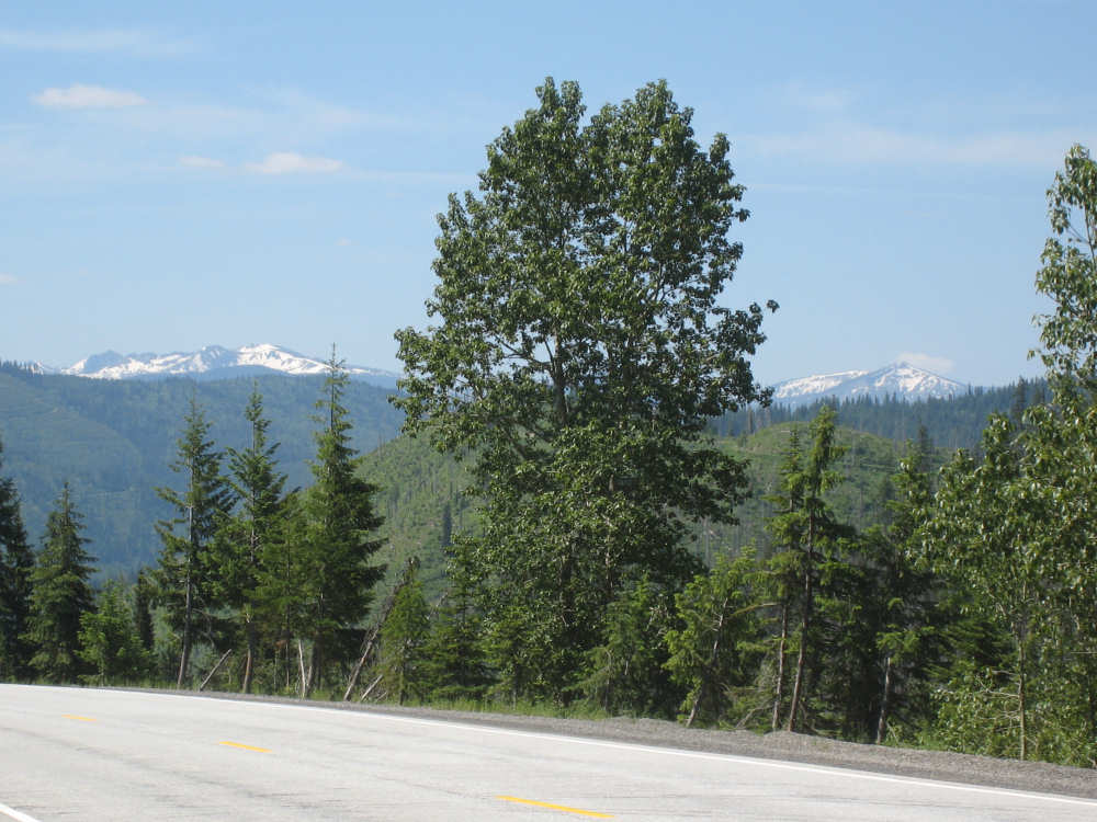
Another snow-cap comes into view |
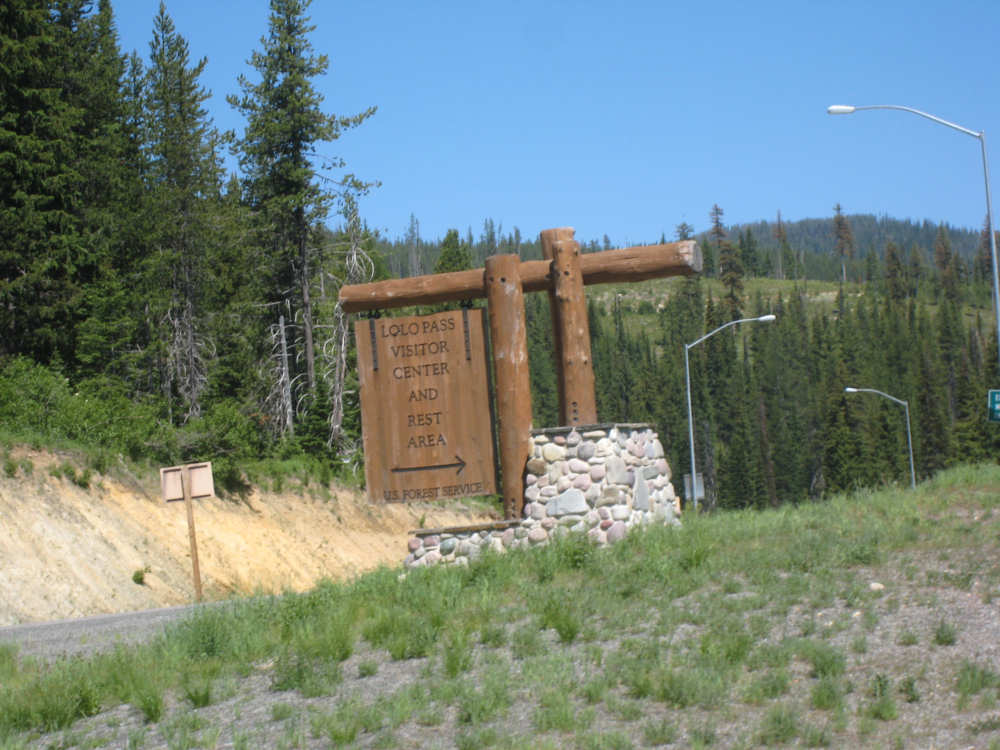
We reach the Pass |
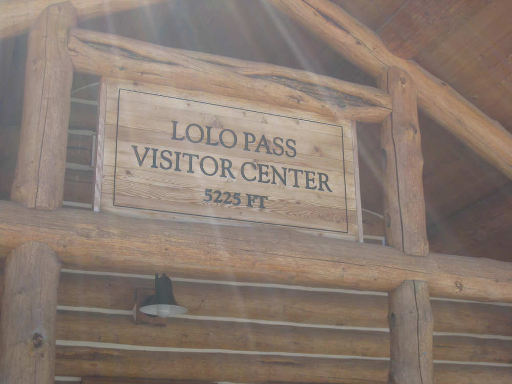
The Visitor Center with an elevation |
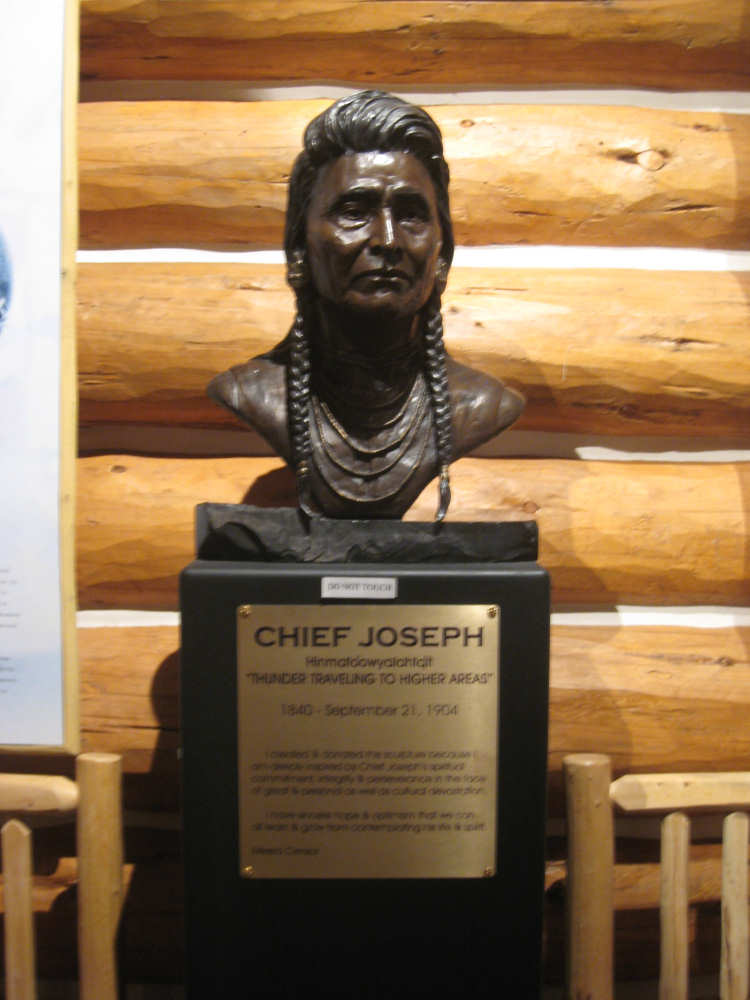
A tribute to Chief Joseph in the Visitor Center |

Another historical marker at the Pass |
The views from the Pass |
|
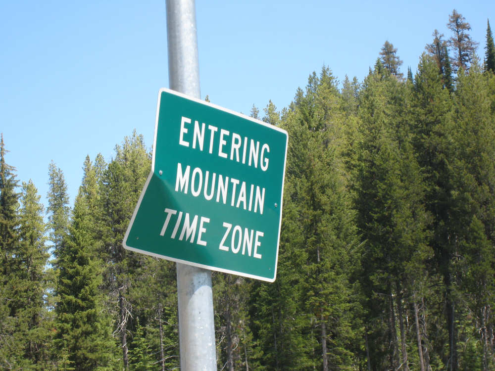
We suddenly lose an hour |
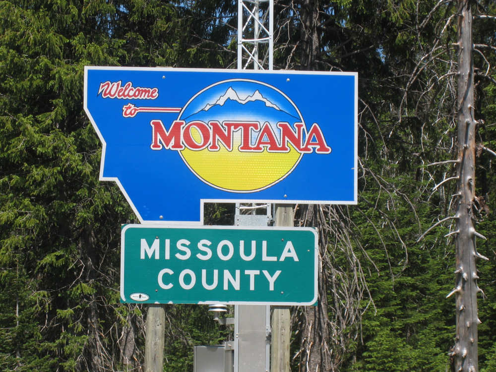
Montana welcomes us nicely |

We begin to see strange rock formations |
|
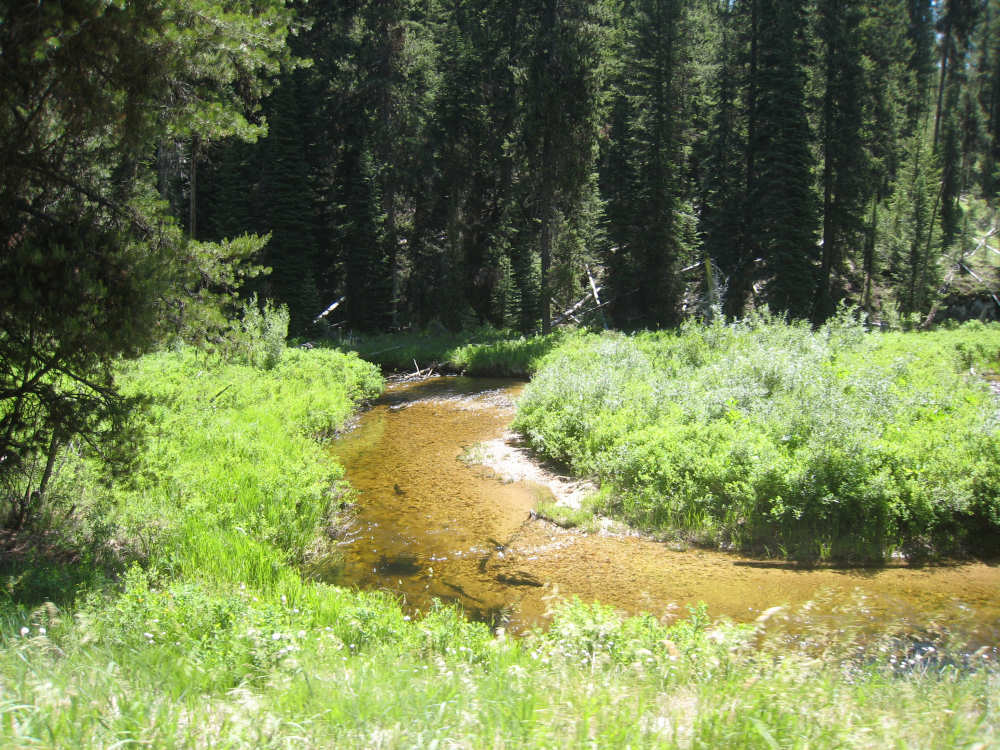
And we're joined by Lolo Creek, very clear and brown |
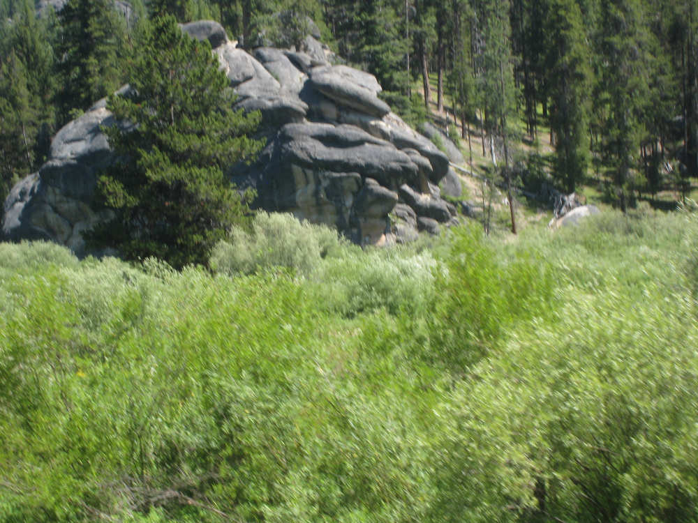
More rocks |
Lolo Hot Springs with a huge rock 'sculpture'... |
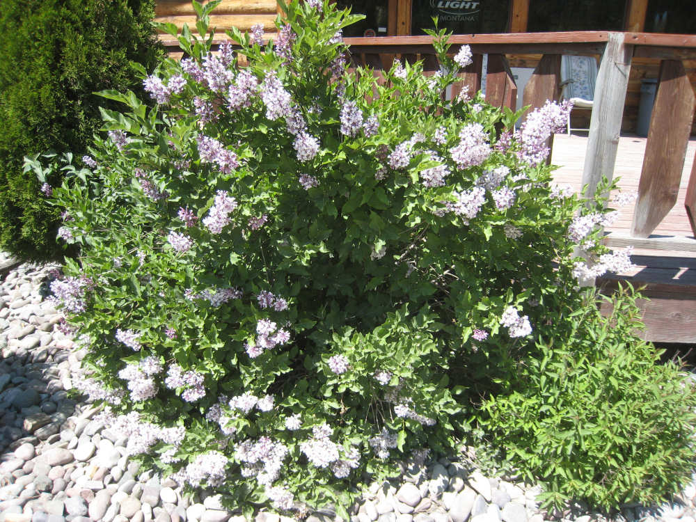
and pretty lilac bushes |
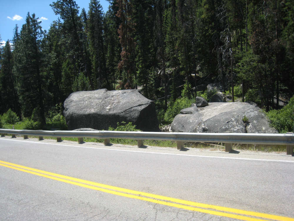
More big rocks as we leave town |
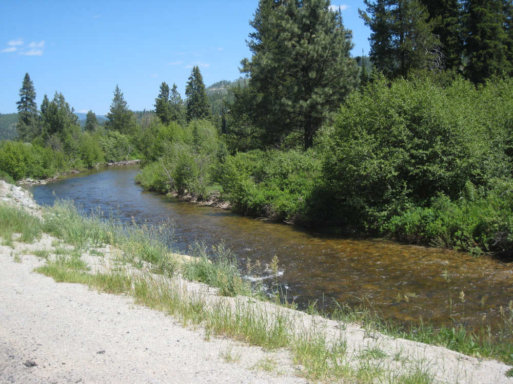
And Lolo Creek runs placidly along |
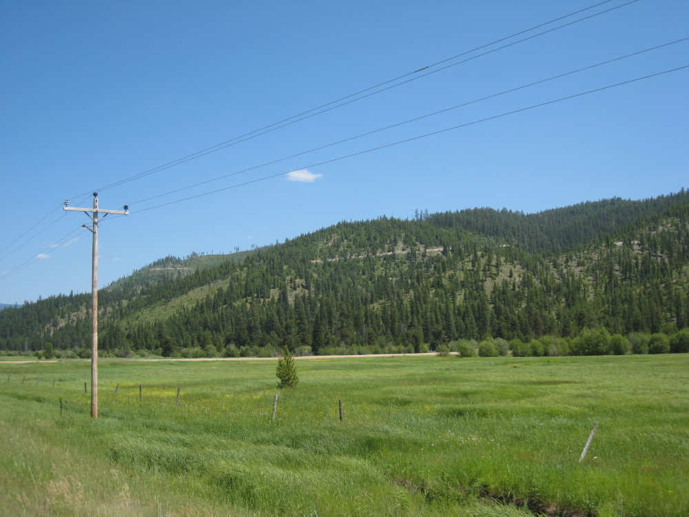
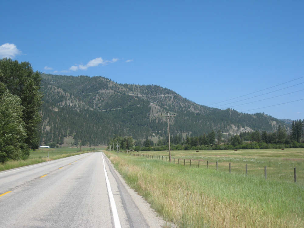
Hills and pastures along the road in Montana |
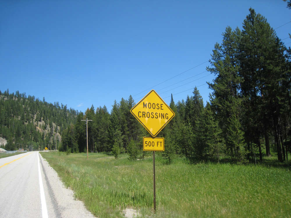
We STILL haven't seen any moose! |
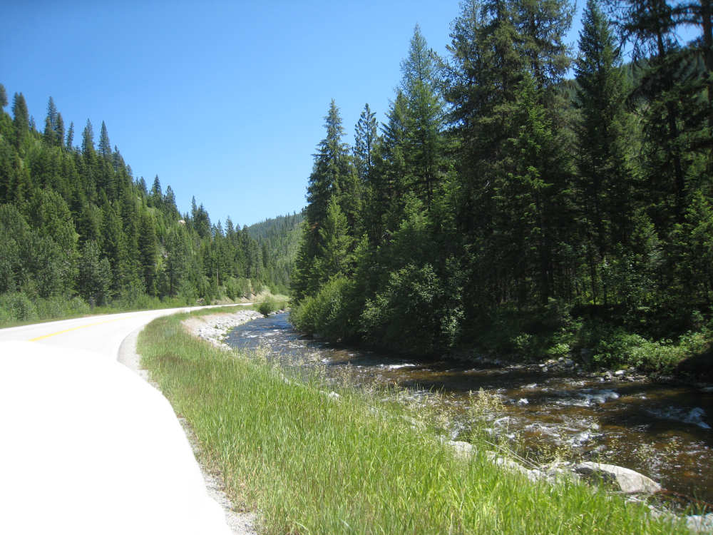
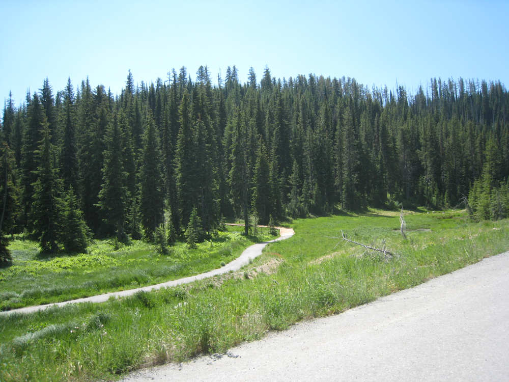
Trees and creek and a gently downhill road |
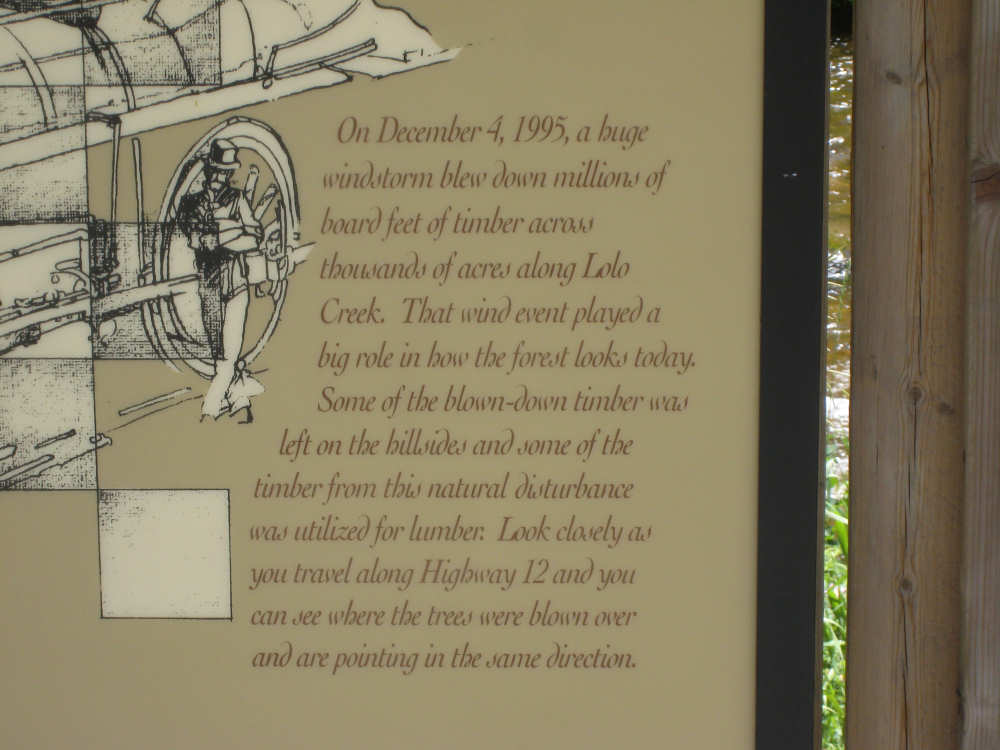
The sign about the wind storm that knocked down so many trees |
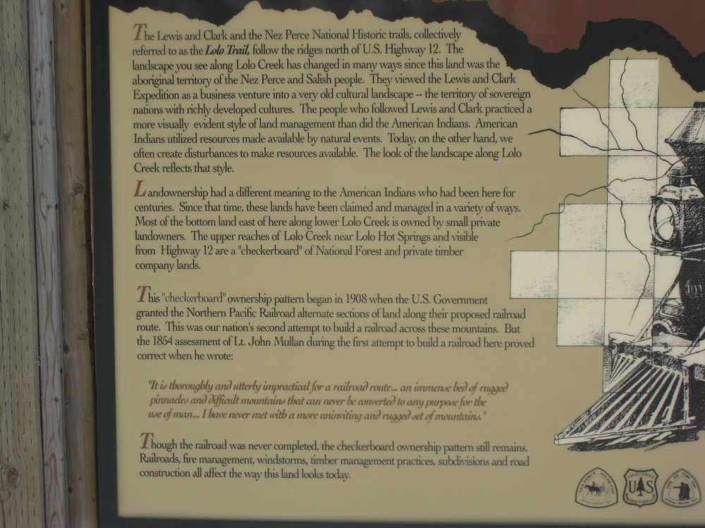
The rest of the sign talked about the railroad's failure in the area |
Trails zigzag up a mountain |
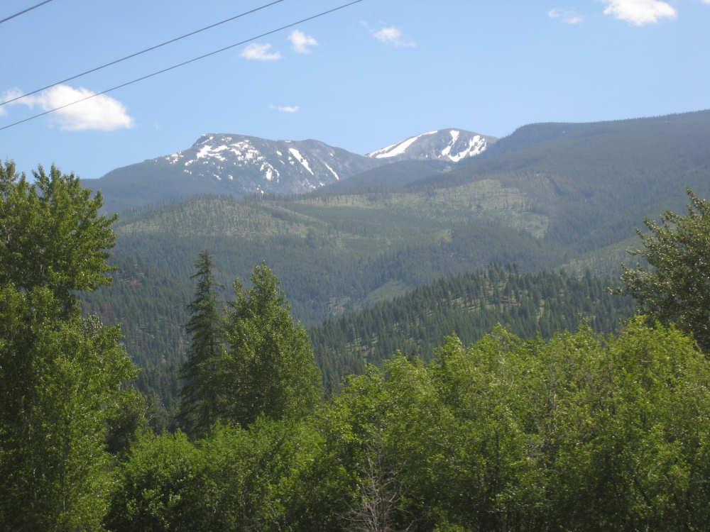
More snow-covered mountains, one of which is Lolo Peak (9,096 feet) |
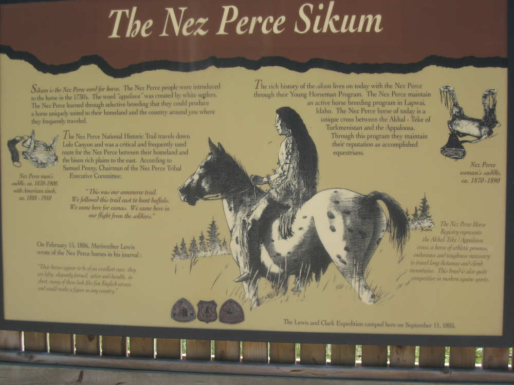
Another marker about the Nez Perce horses |
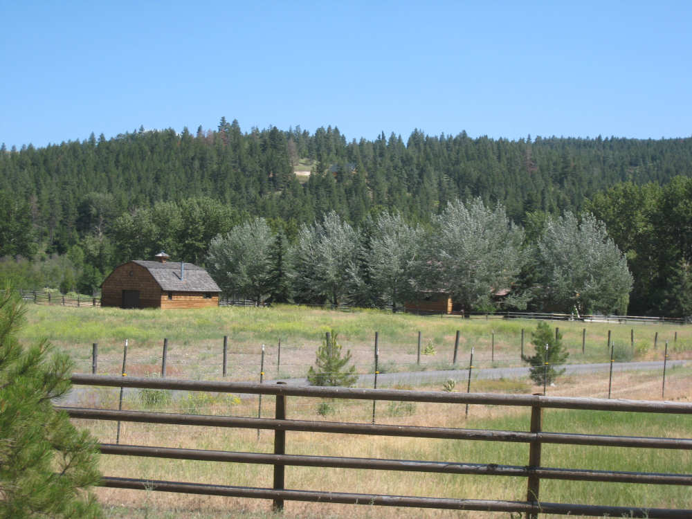
A ranch along the road |
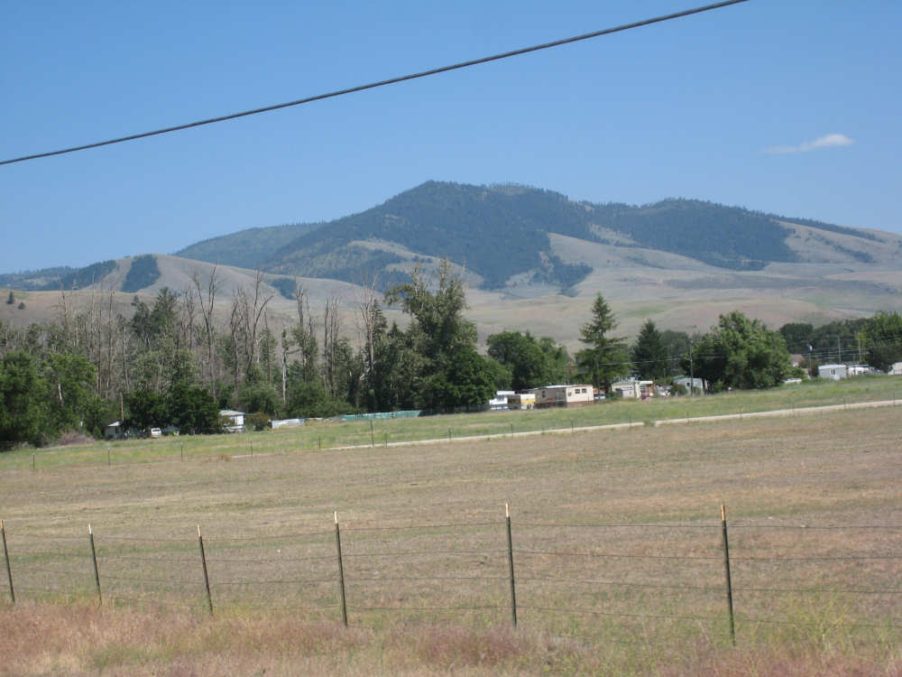
Some of the Bitterroot Mountains as we approach Lolo |

Metal silhouettes of Lewis & Clark at the Travelers Rest State Park entrance |
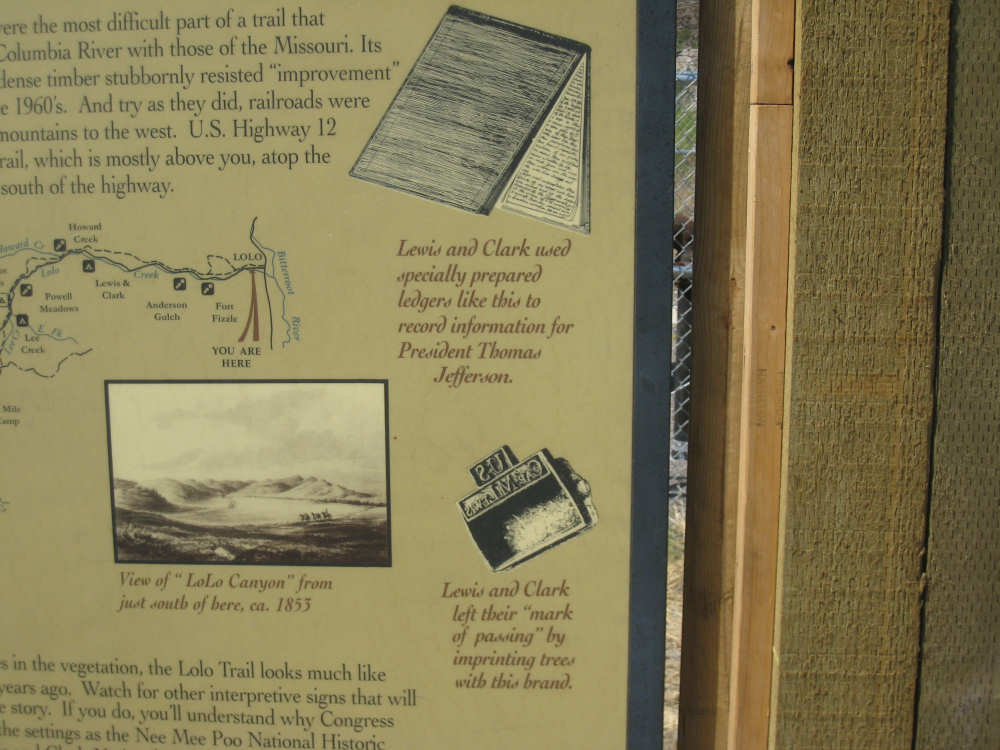
Details from another point of interest sign |
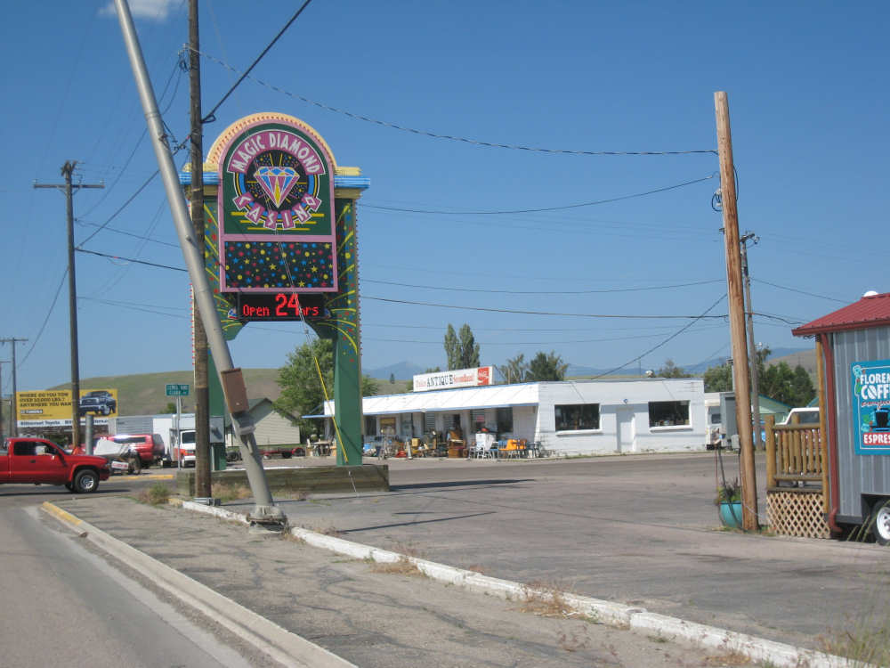
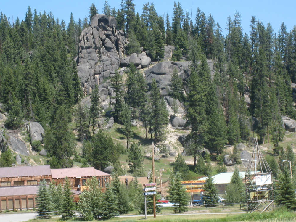
Casinos were everywhere in Lolo |
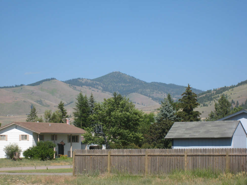
The mountains loom behind the houses here |

The Bitterroot River |
|
Finally! |
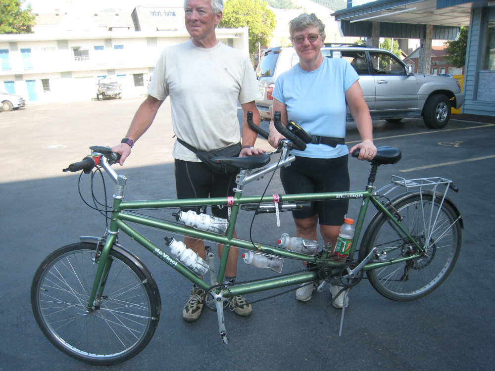
Our 15,000-mile-old bike resting at the motel |