Sunday, June 29, 2008
The Dalles, OR to Arlington, OR
54 miles (5377 total miles)
OK, we are total, total wimps. You may have noticed we're not in a park in West Roosevelt. Well, last night as we checked today's route again and I was fussing about the 55 miles in 100+ heat and chance of thunderstorms and lots of hills ending up with tenting in a town park with no facilities, Pat noticed that there was a little town across the river from West Roosevelt and wondered why we couldn't just stay in Oregon on I-84 again today and stop there. We found a motel in town and they had an opening so here we are! About half the climb and we are in an air-conditioned motel room with a restaurant right next door (I just heard the first thunderclap). This change makes tomorrow's route shorter, too, since we would have been in Washington all day, popping back into Oregon for our motel. This way, we'll stay in Oregon, mostly on I-84 and then on 730 which heads straight into Umatilla. We started out early this morning, leaving The Dalles at 7 am, and got to Arlington at 1:45, so we weren't out in the worst part of the heat for long. Tomorrow, we hope to do the same, and with only 48 miles to go, we should make it in even earlier. The next two days after that, though, are both 75 mile days and there's not much we can do about that, so we're hoping the temperatures cool off some by then.
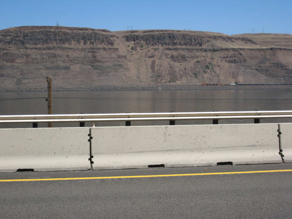
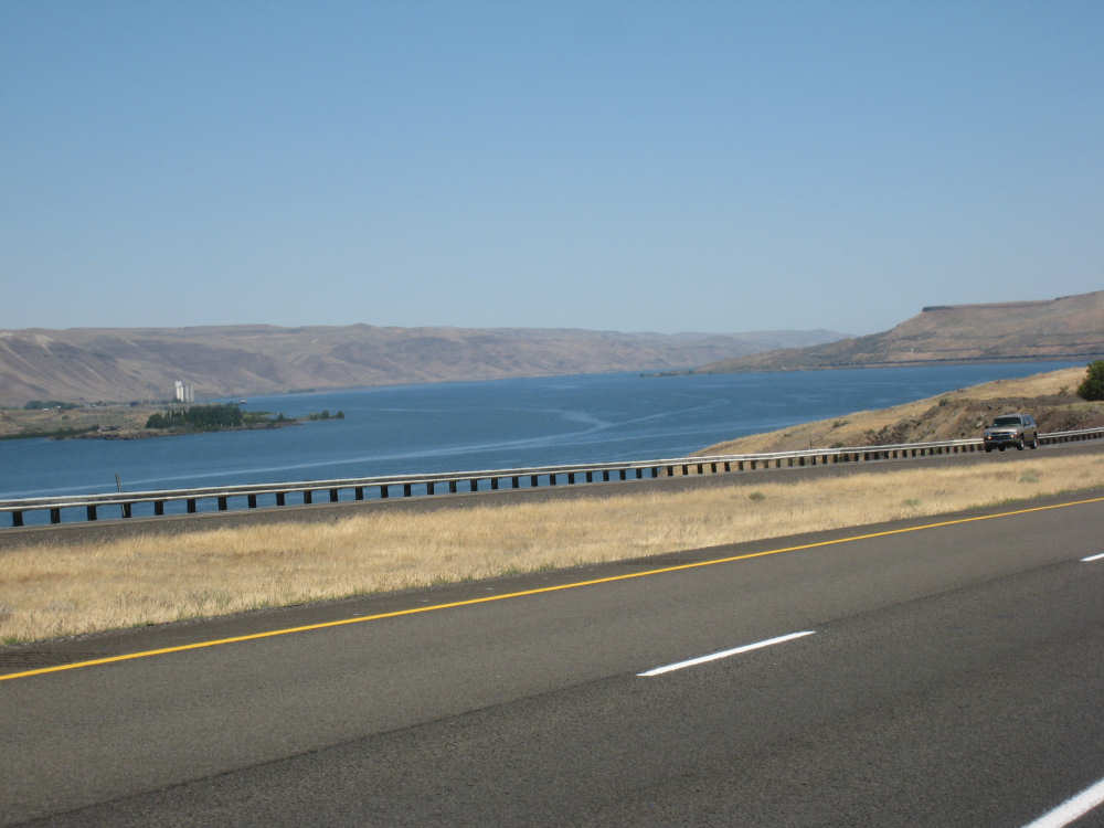
So, today we were on I-84 all day, right next to the Columbia River on the Oregon side. The Washington side was pretty spectacular, mostly huge, brown grass-covered hills that seemed to go right down to the river. Somehow they carved out a railroad track close to the river and we saw lots of trains going by. Hwy. 14 (the one we were supposed to be on) also runs along there, higher up in the hills. We rarely saw cars and trucks going by there and often couldn't even tell where the road could be. We took lots of pictures of the Washington hills because they were so impressive, and a few have trains or trucks going by to try to give a sense of the scale. You'll probably have a hard time seeing them, they look miniscule. The Oregon side was equally impressive, mainly for the basalt cliffs that were still prevalent. There were a few places, especially toward the end of the day, where the hills were rounded, brown grassy slopes like Washington's, but mostly it was very rocky. We saw a deer, a blue heron, a hawk and lots of smaller birds and squirrels.
We hope you're not getting tired of hills and river, because that's mostly what we have again in today's pictures. We also saw a few interesting bridges across the river, and a couple of large dams, as well as some side rivers and channels. We're still finding it fascinating so we hope you do too. We ended the day at a little under 54-1/2 miles in slightly over 5 hours of bike time, certainly a lot better than we could have done on the Washington side. And it's raining and very windy out at the moment.
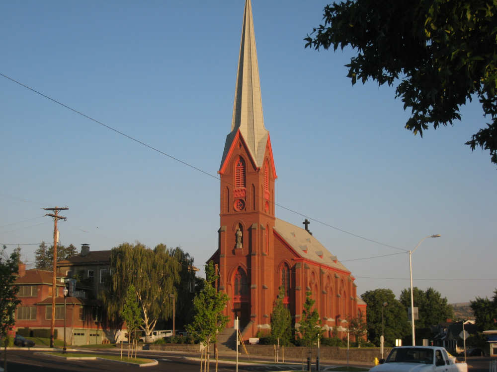
A beautiful church in The Dalles |
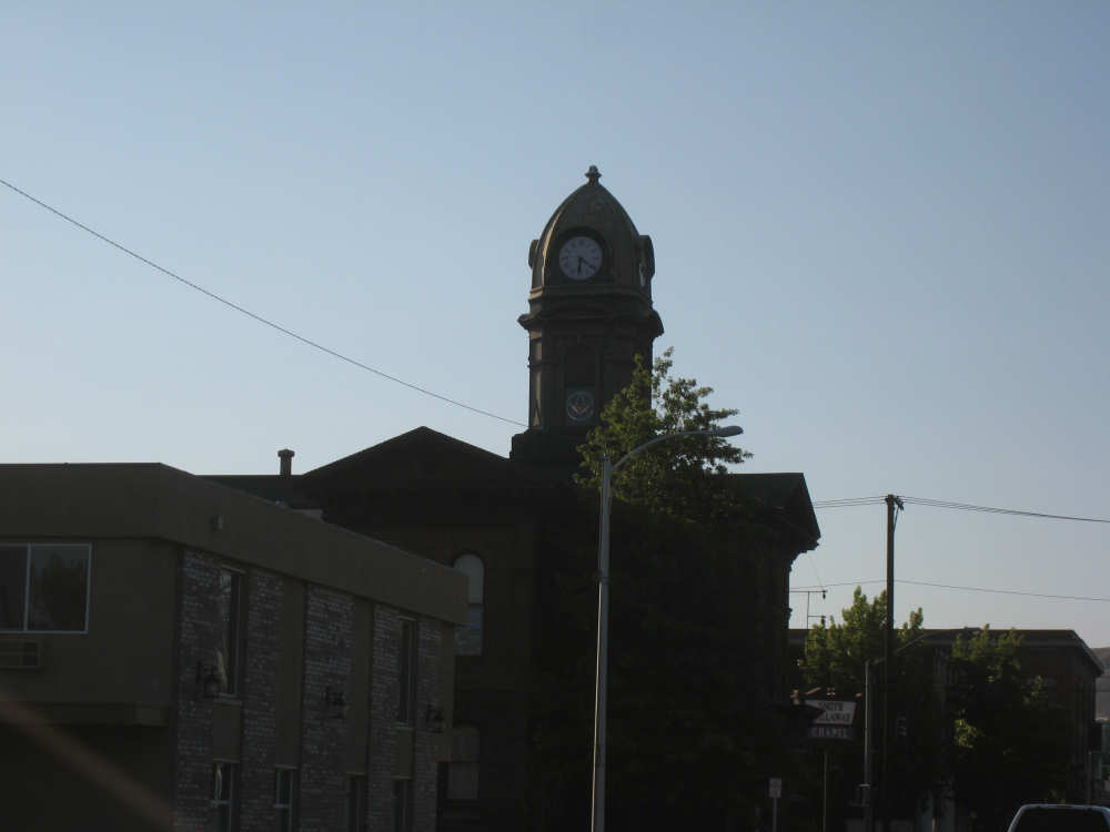
Another interesting chapel in town |

A large dam and hydroelectric plant near The Dalles |
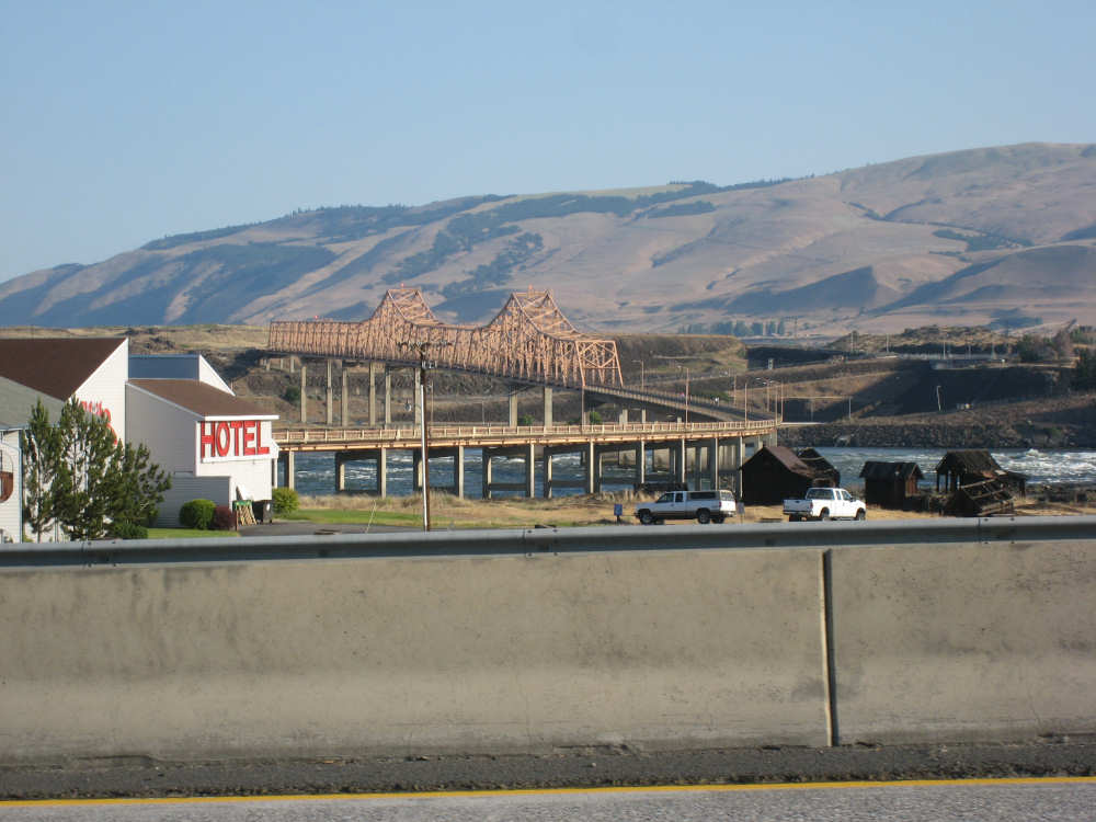
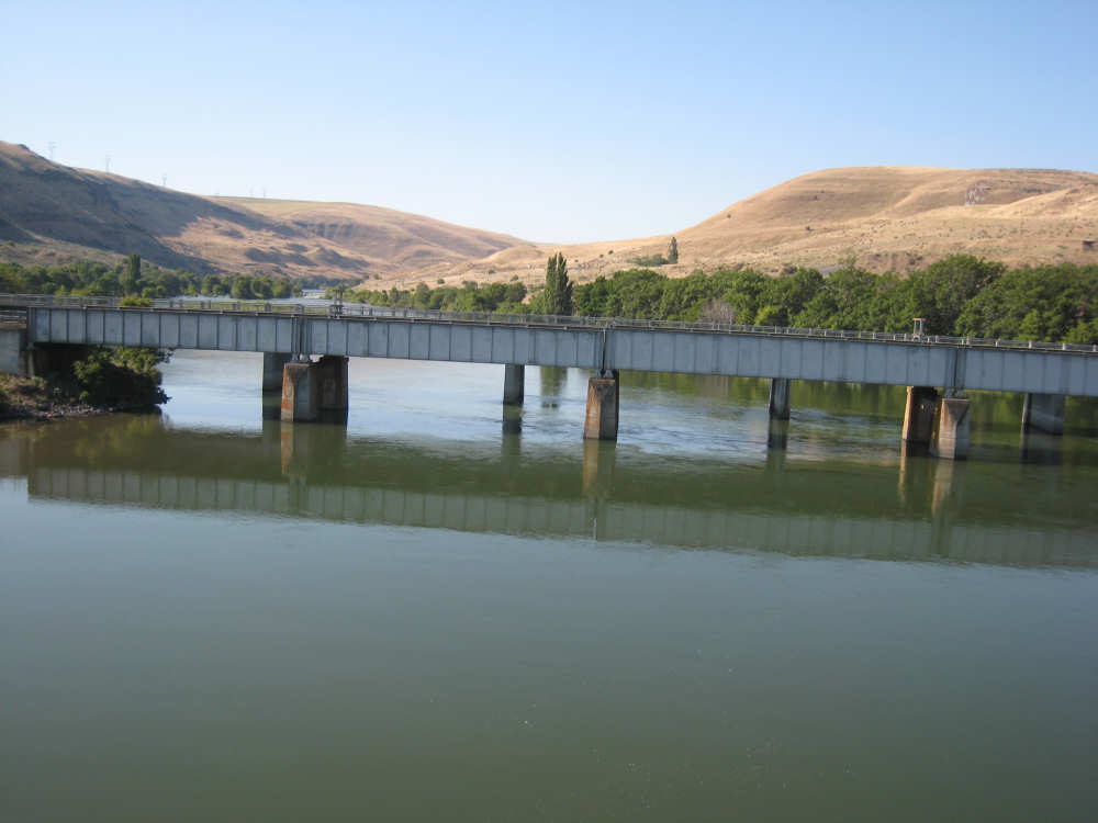
A pretty bridge going over to Washington near the dam |
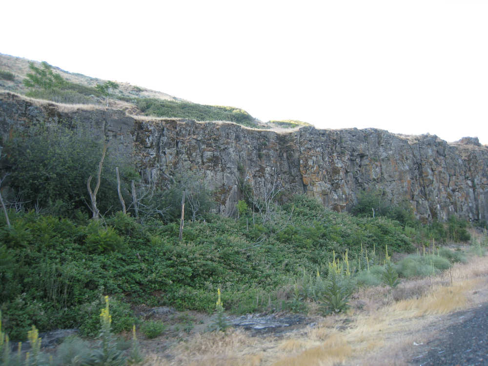
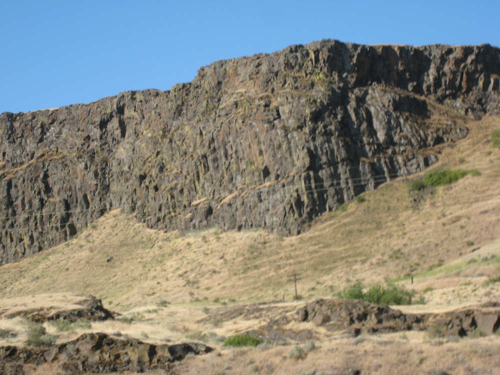
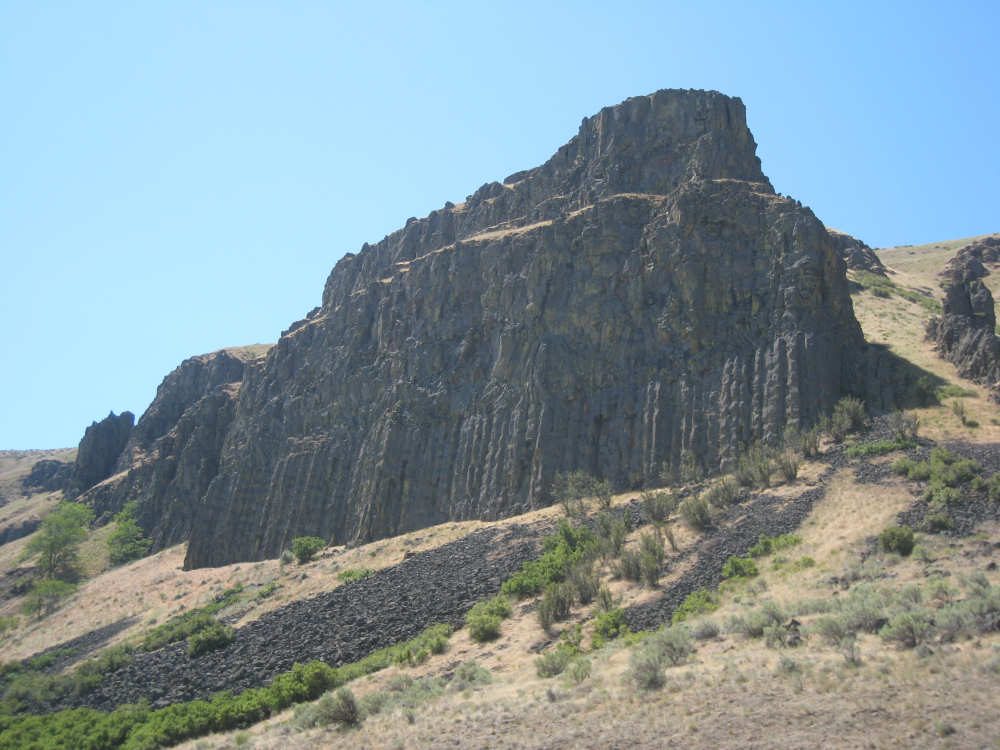
One of the interesting cliffs on the Oregon side |
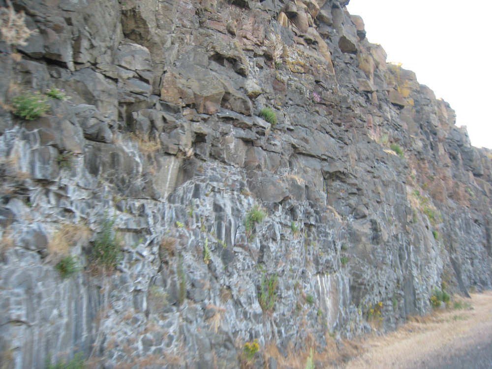
A close-up of a higher cliff |
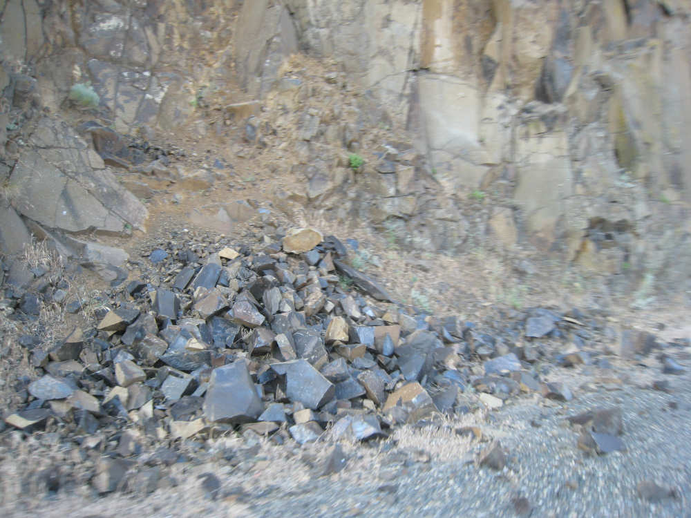
One of many piles of basalt rubble; newly broken edges of basalt are quite shiny |
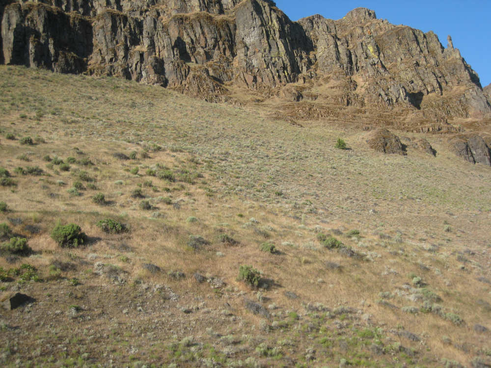
Cliffs with brown grass underneath on the Oregon side |
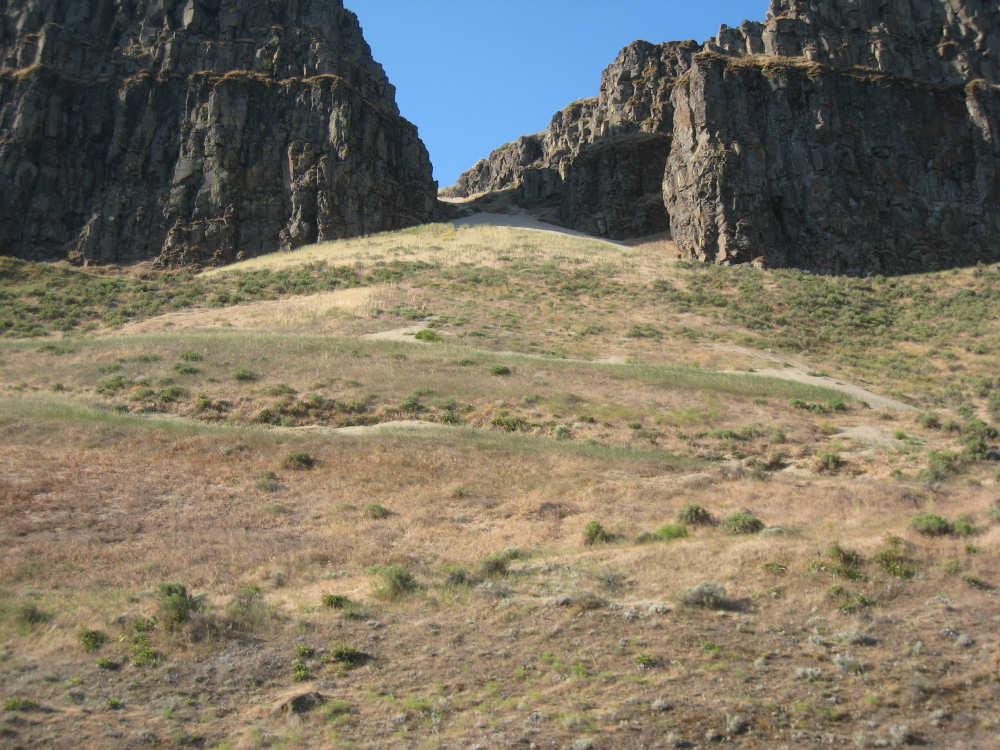
An opening in the cliffs and some sandy patches in between them |

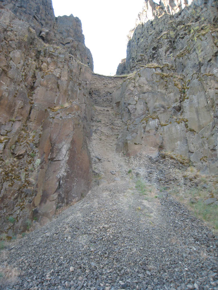
The Washington side, with terraced cliffs and loose gravel |
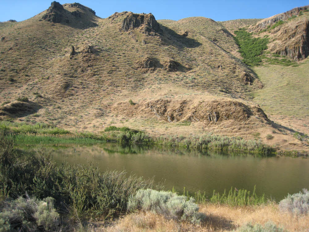
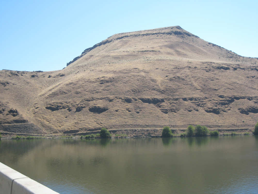
Oregon, grassy with a rippled effect, and a pond below |
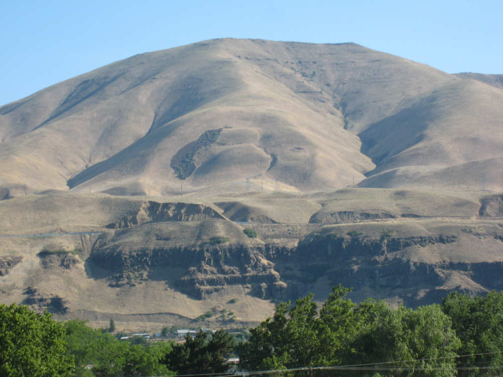
One of the massive Washington hills with a patch of crops below |
More massive hills with a cluster of houses along the road |
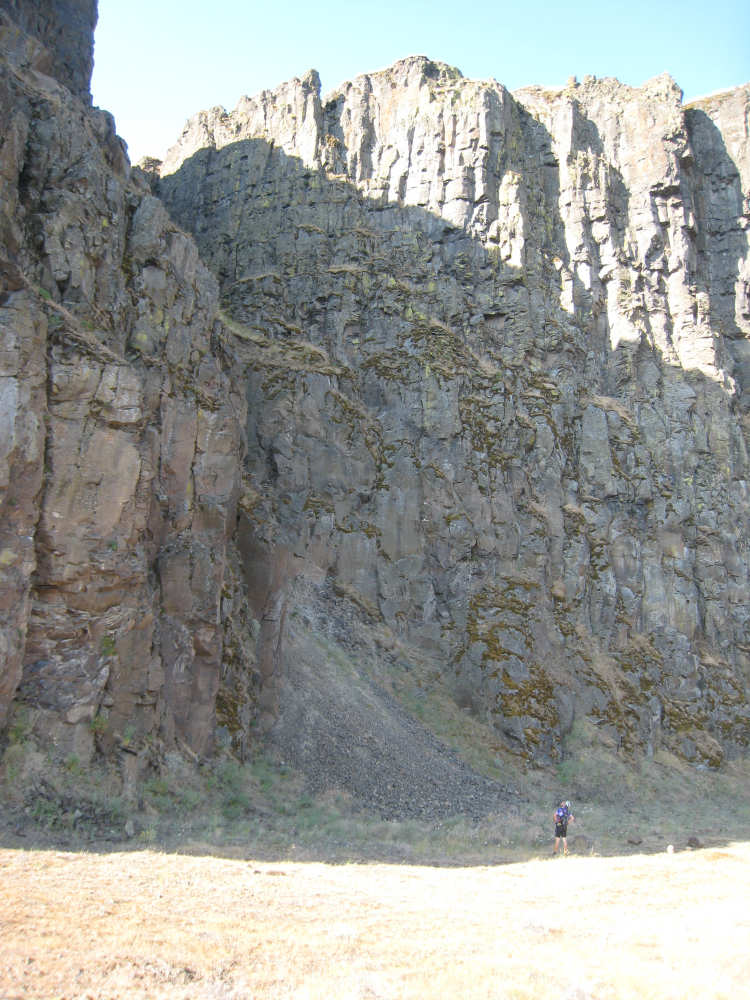
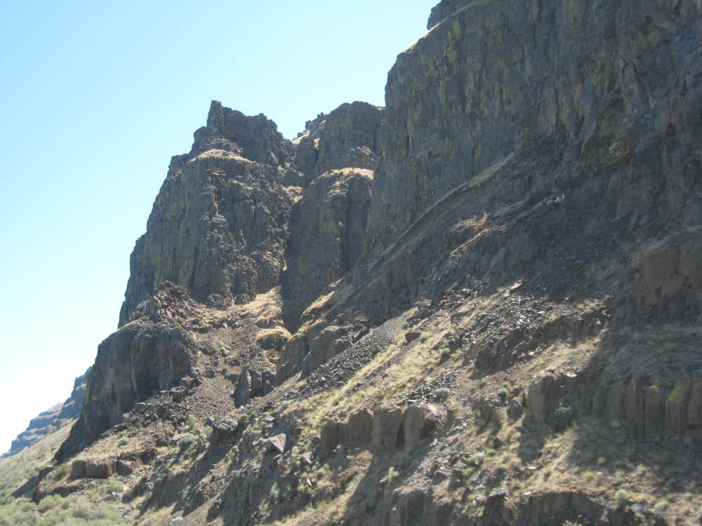
Pat looks up at some very impressive cliffs |

A hawk soars overhead |
A close-up of a gap filled with loose gravel between the cliffs |
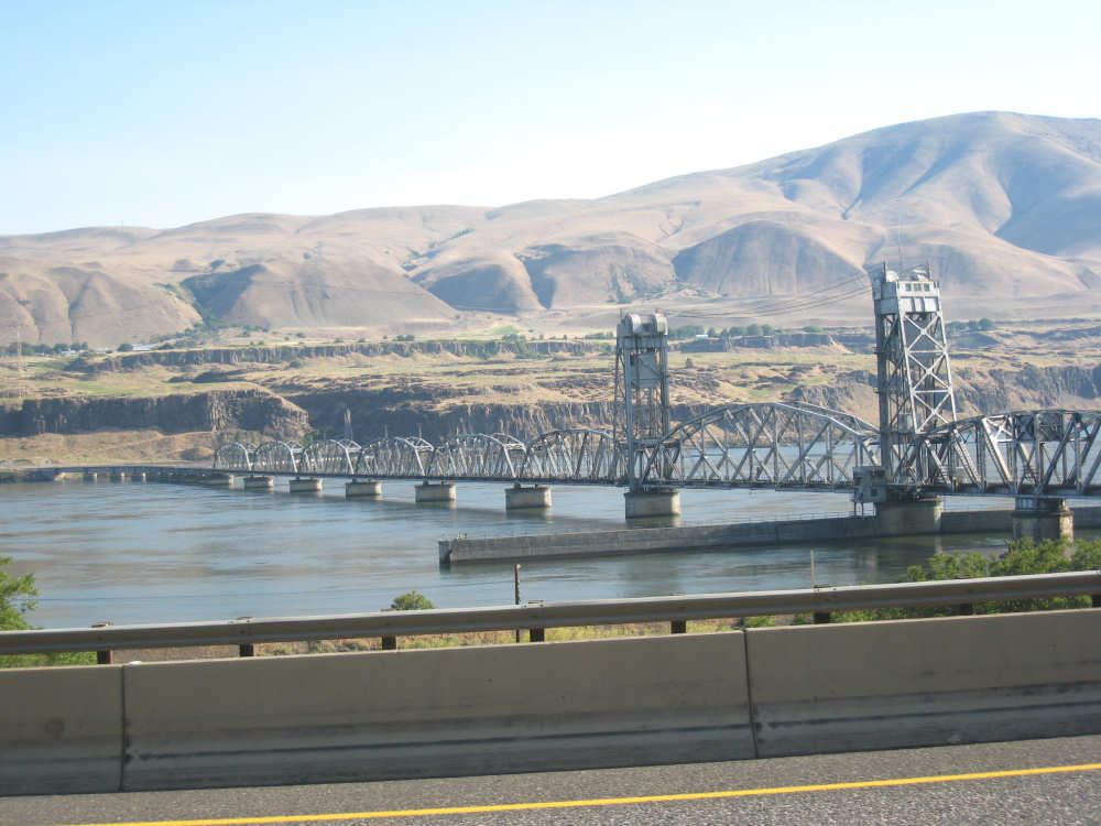
A railroad drawbridge across the river |
A close-up of the drawbridge section |

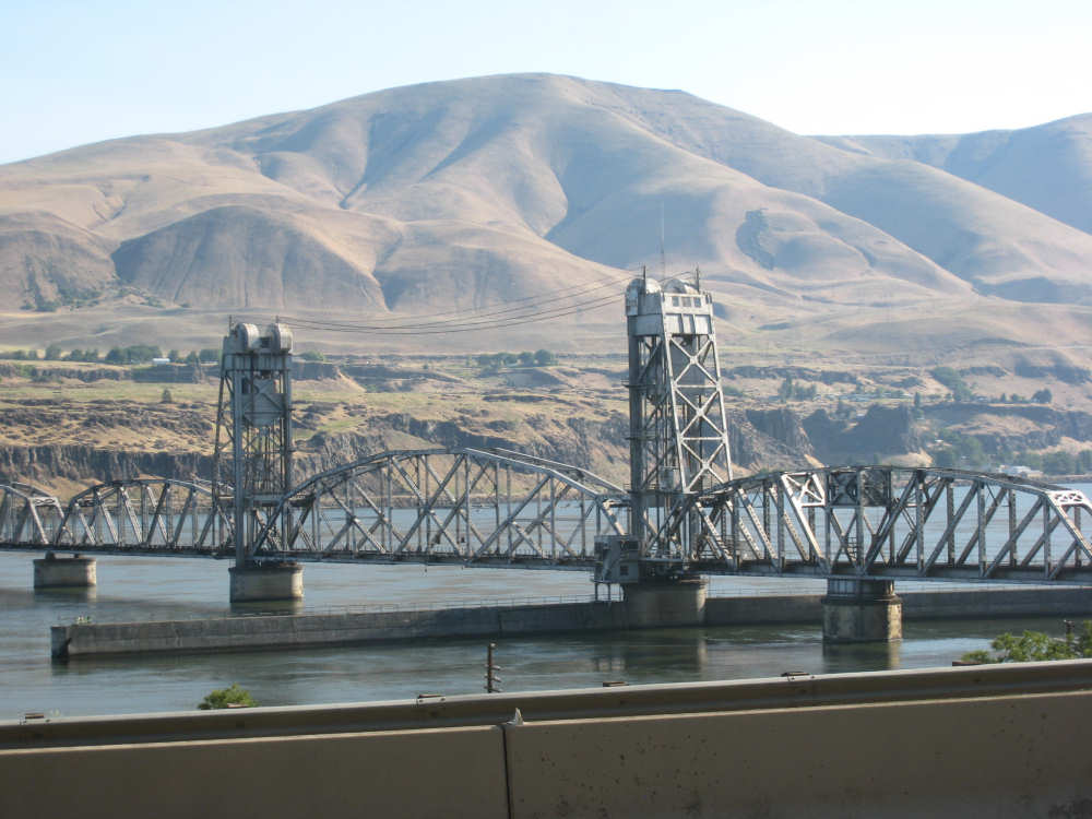
Looking back, we were surprised to see the drawbridge had been raised... |

probably for this tug and barge to go through |
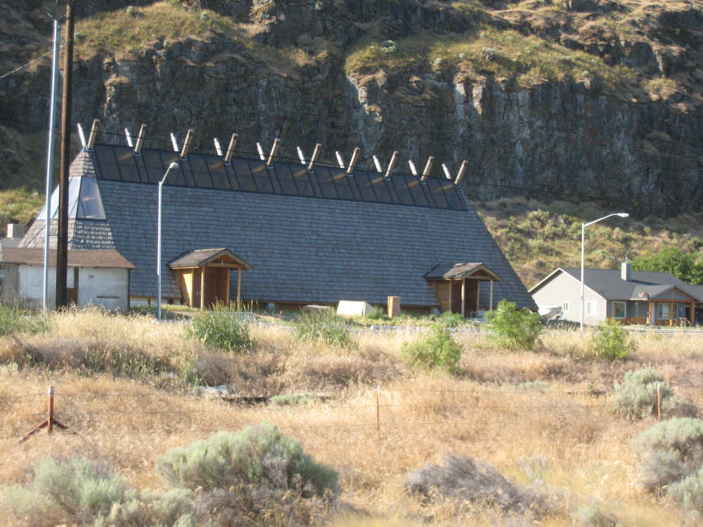
This interesting building seemed to be part of the Celilo Indian Village |
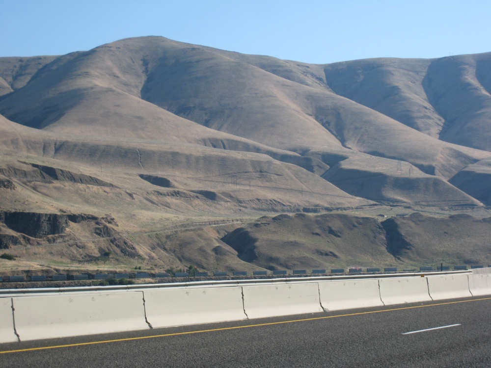
The Washington hills continue to enthrall us |
|
As do the Oregon cliffs |
Another railroad bridge; the Oregon and Washington hills look very similar here |
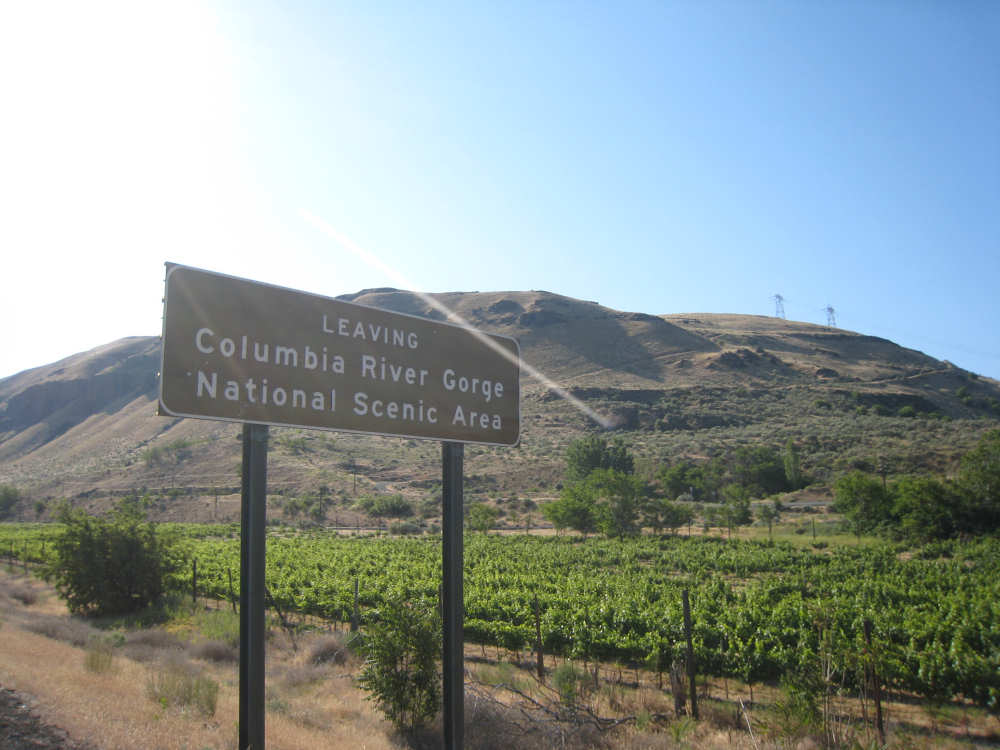
We're officially out of the scenic area, but it still looks scenic to us; |
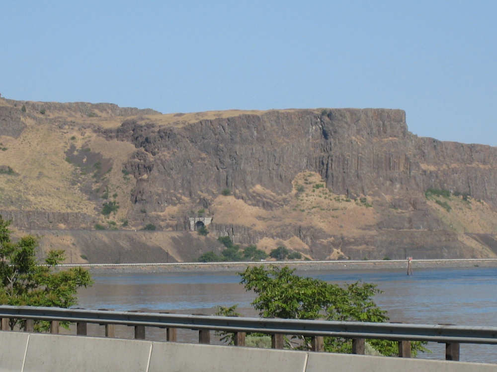
At a bend in the river, we look back to see a railroad tunnel in this huge cliff |
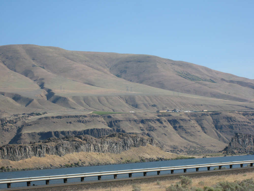
The little white bar in the center is a double truck, a clump of buildings to its right |
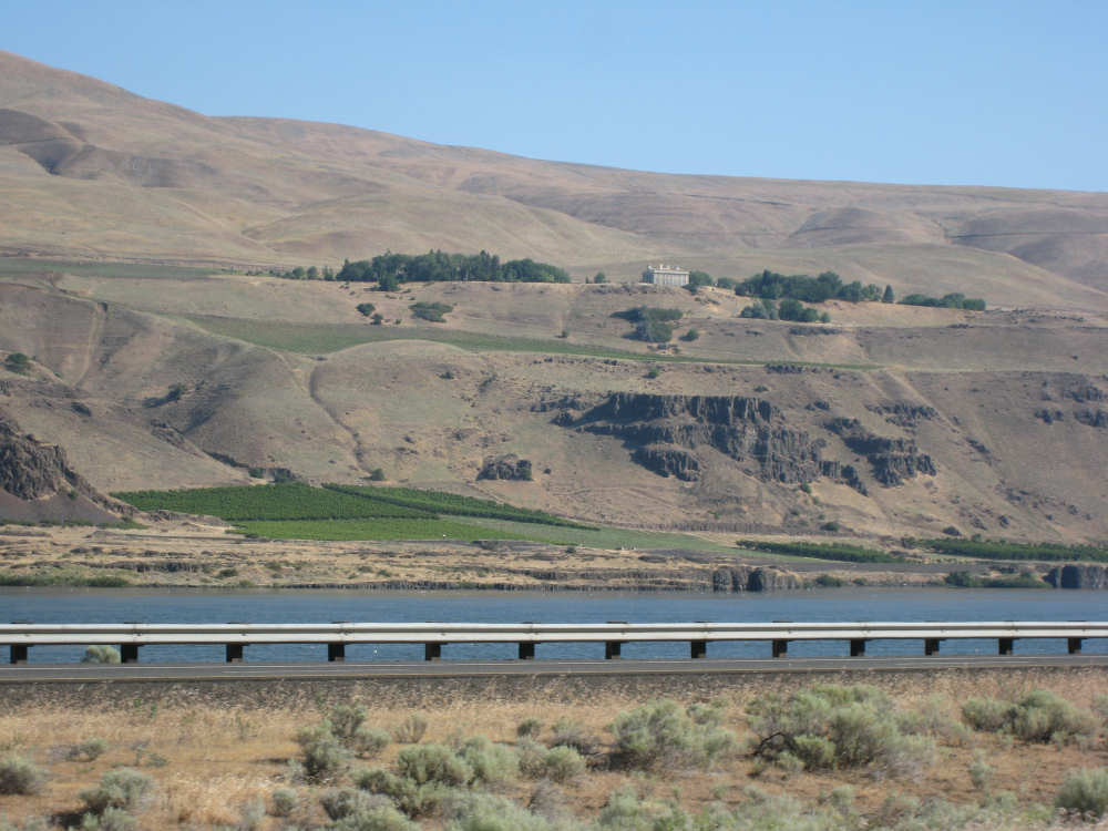
The Maryhill Vineyard and Museum, on the Washington side near Biggs, OR |
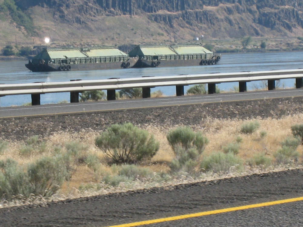
Two barges that look like house boats in the river near Biggs |

The bridge from Biggs over to Washington that we were supposed to take |

Big silos near the river at Biggs for loading wheat onto barges; |
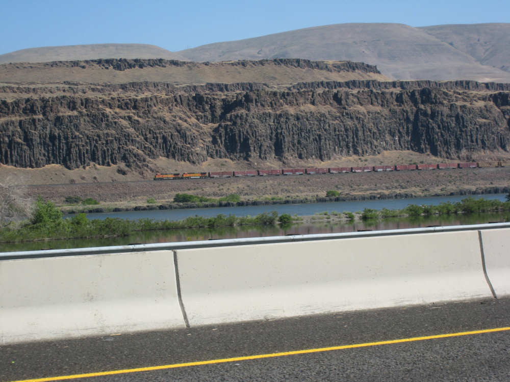
A train goes by on the Washington side |

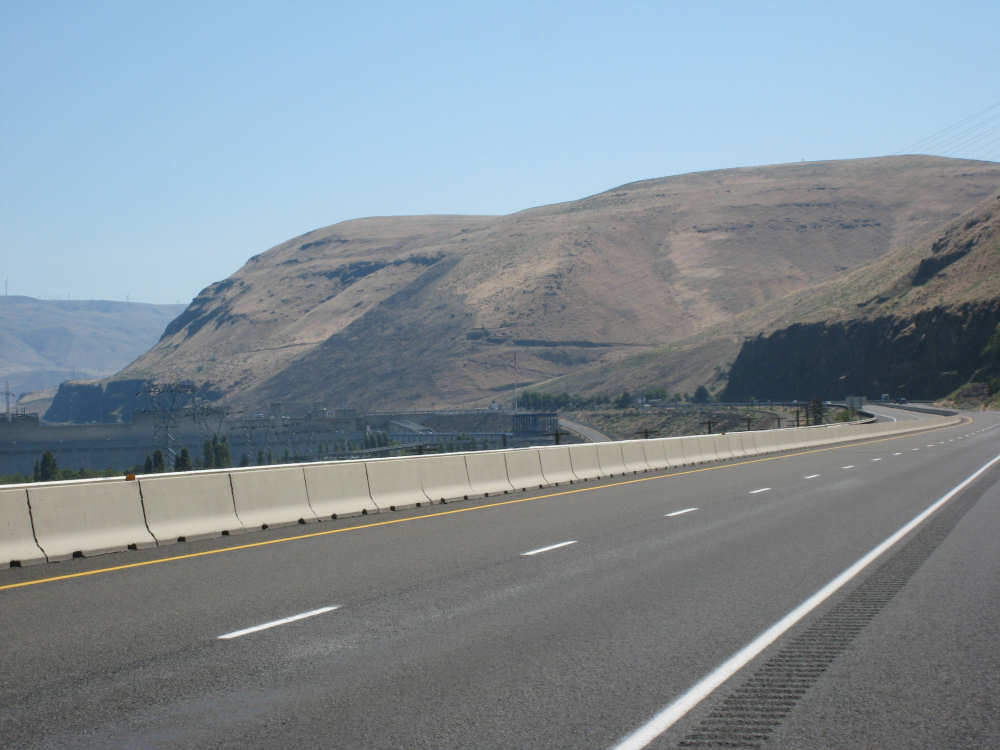
The John Day Dam and hydroelectic plant |
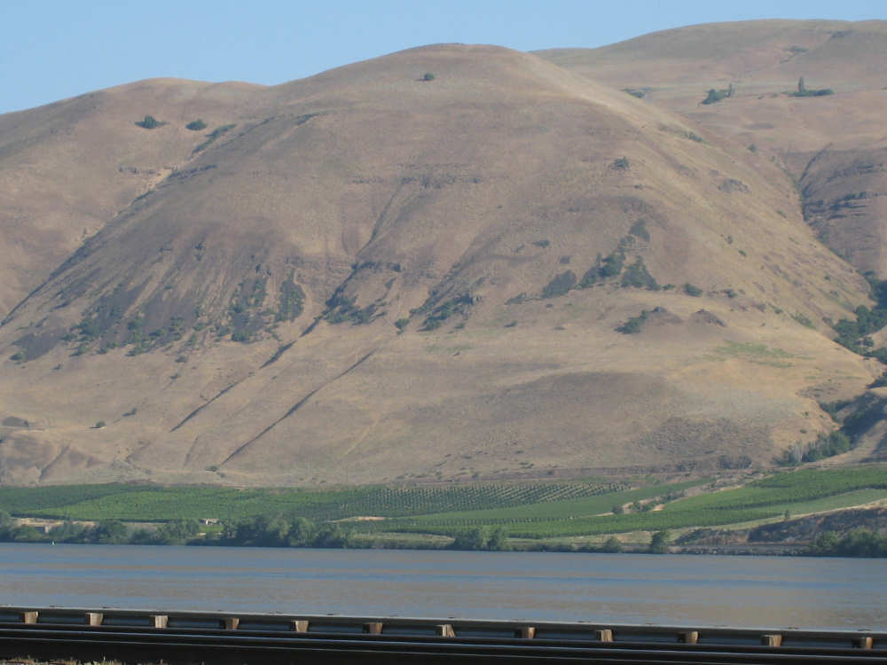
Brown hills on the Oregon side |
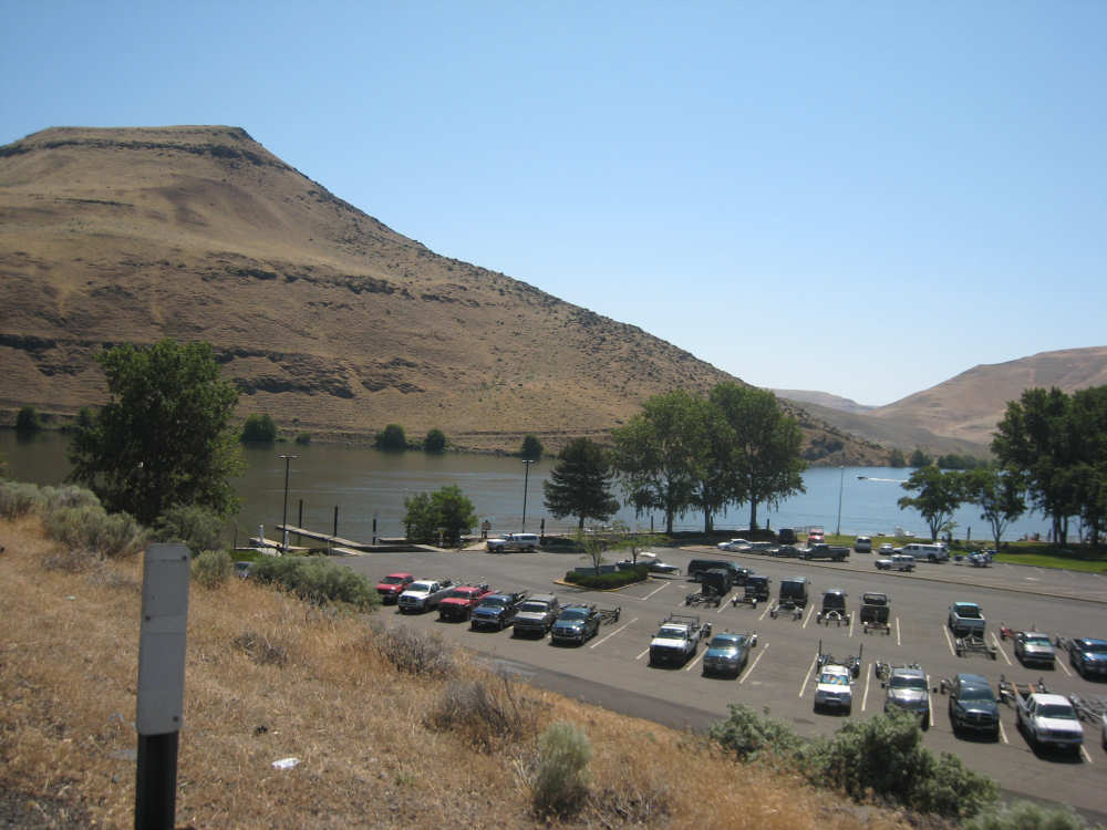
The John Day River - note all the trucks with boat trailers |
A huge brown hill next to the John Day River |
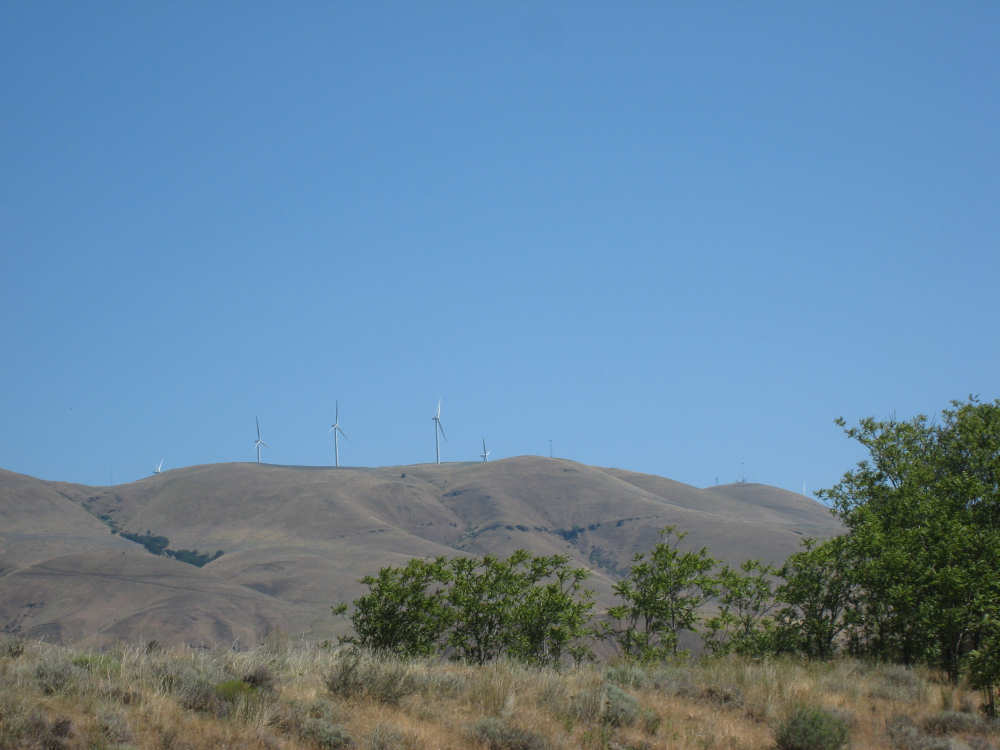
Windmills like this were strung along the tops of several Washington hills here |

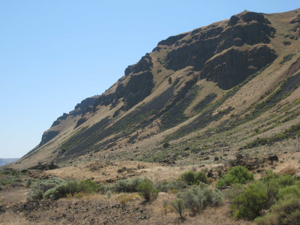
More massive Oregon cliffs |
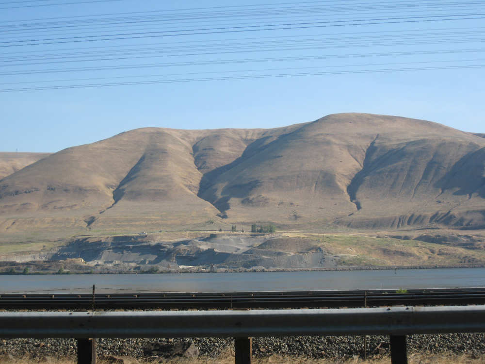
This hill seems to sweep down to the road |
Loose gravel where the brown grass doesn't grow |

Another bend in the river |
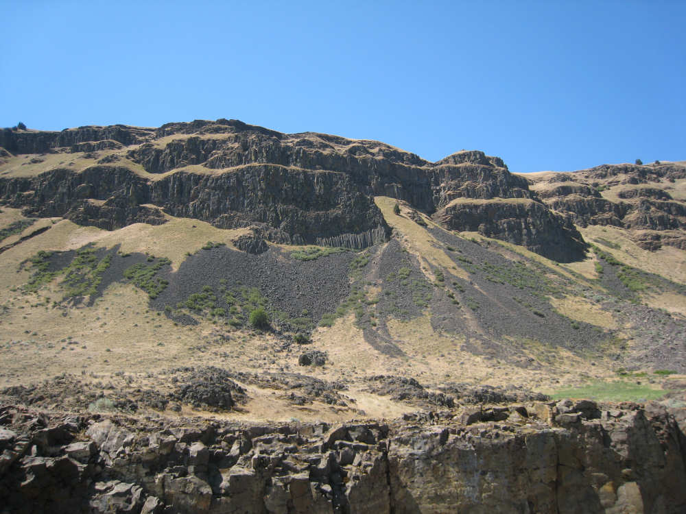
Striated cliffs |
|
Another train goes by on the Washington side |

A side road winds down into Blalock Canyon |
The river takes another jog |
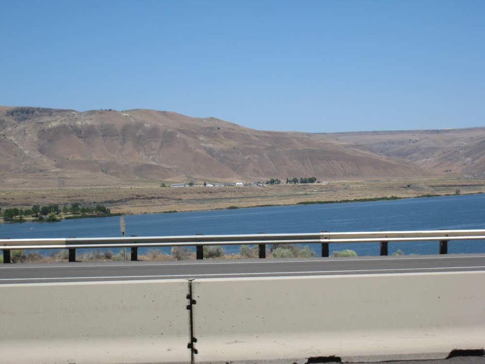
What appears to be the town of West Roosevelt, where we would have spent the night |

And its neighbor, North Roosevelt, right across from Arlington, OR |